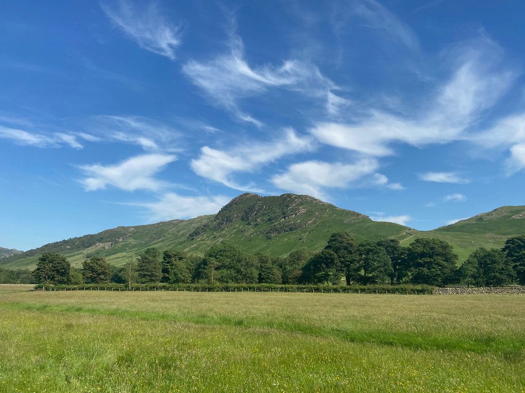
Crinkle Gill & Crinkle Crags - Thursday 25 June 2020
Route
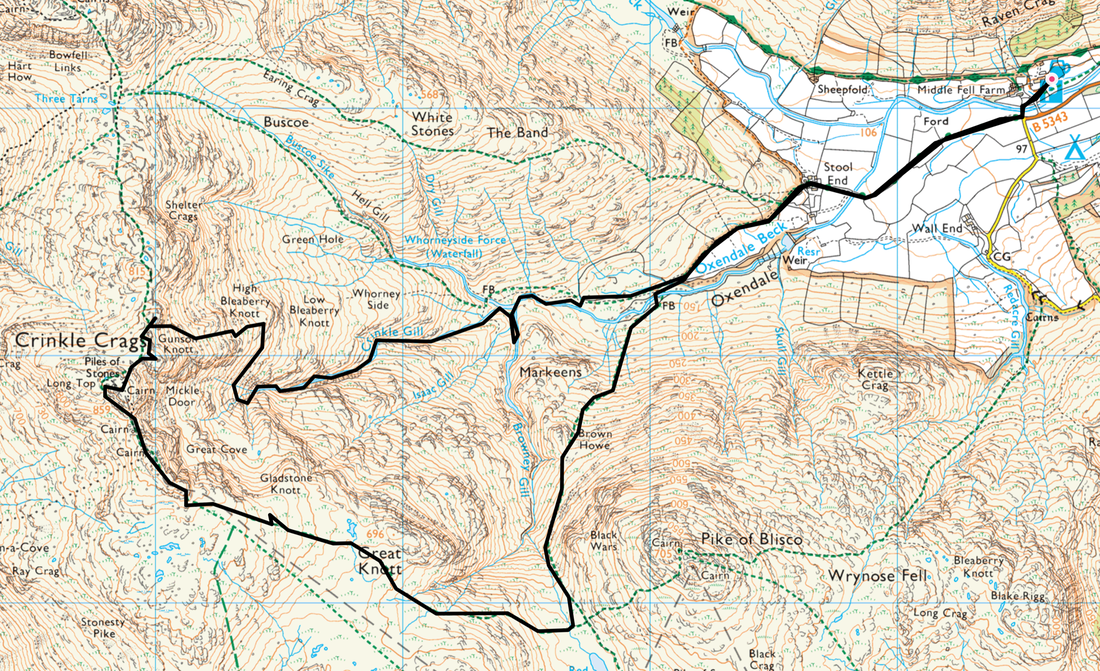
Old Dungeon Ghyll (ODG) - Stool End - Oxendale Beck - Browney Gill - Crinkle Gill - High Bleaberry Knott - Gunson Knott - Long Top (Summit of Crinkle Crags) - Red Tarn - Brown Howe - Oxendale Beck - Stool End - ODG
Parking
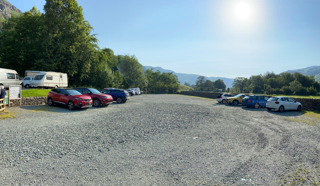
I would normally park in the Old Dungeon Ghyll Hotel Car Park (£3 all day payable in the hotel) but this was closed due to Covid 19. I therefore parked in the National Trust Car Park next door for the outrageous sum of £7!! The Car Park is located at Grid Reference NY 286061 and the nearest postcode is LA22 9JY.
Mileage
8.6 miles
Terrain
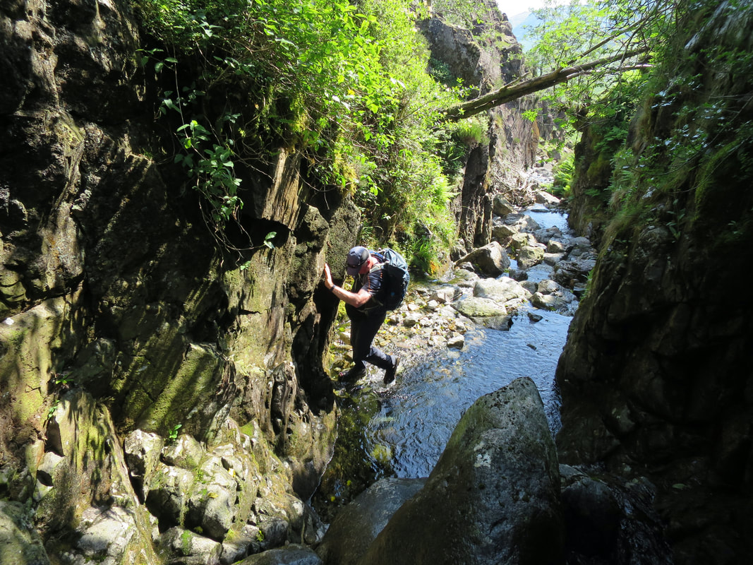
This walk consists of two halves of differing terrain. The first section is via Browney Gill & Crinkle Gill with the latter being a challenging gill scramble over rocky terrain which will involve getting wet, in particular your feet. There are some difficult sections entailing scrambling over wet rock therefore it is advisable that you do not undertake this walk alone due to there being no phone signal within the confines of the gill. It is also recommended (as we did) to wear microspikes throughout your time in the gill.
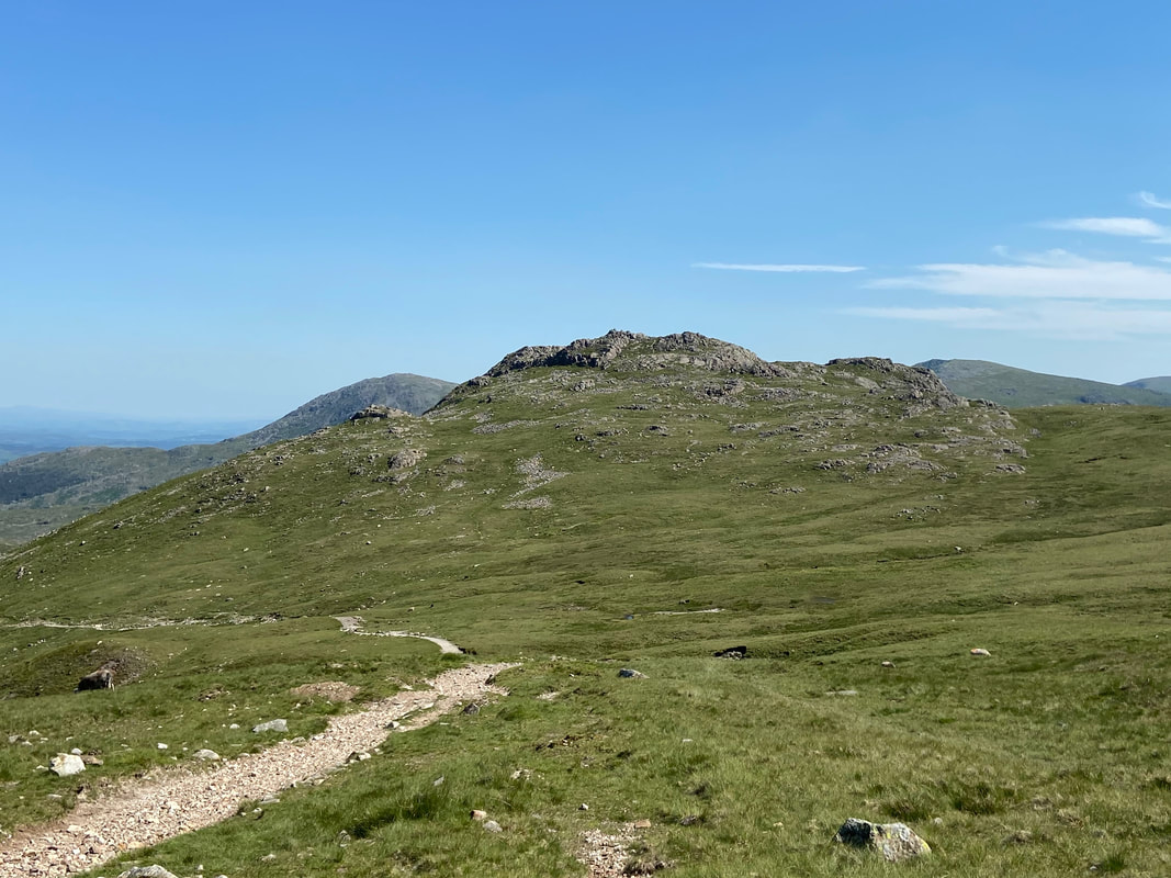
Once leaving the gill the terrain is gentler however the ascent to Gunson Knott is over pathless and rough terrain. From Crinkle Crags onwards the route is on good mountain paths.
Weather
A beautiful warm day with no wind and excellent visibility.
Time Taken
9hrs
Total Ascent
2841ft (866m)
Wainwrights
1
Map
OL6 - The English Lakes (South Western Area)
Walkers
Dave & Richard Jennings. Thanks go to Richard for allowing me to use some of his excellent photographs for this walk report.
|
GPX File
|
| ||
If the above GPX file fails to download or presents itself as an XML file once downloaded then please feel free to contact me and I will send you the GPX file via e-mail.
Route Map
The National Trust Car Park near The Old Dungeon Ghyll Hotel in Langdale. It hurt like hell to cough up the £7 for a days parking but needs must I suppose.
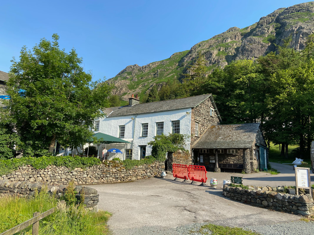
The Old Dungeon Ghyll Hotel with the Walkers Bar on the right of the building - an excellent watering hole for that post walk beer.
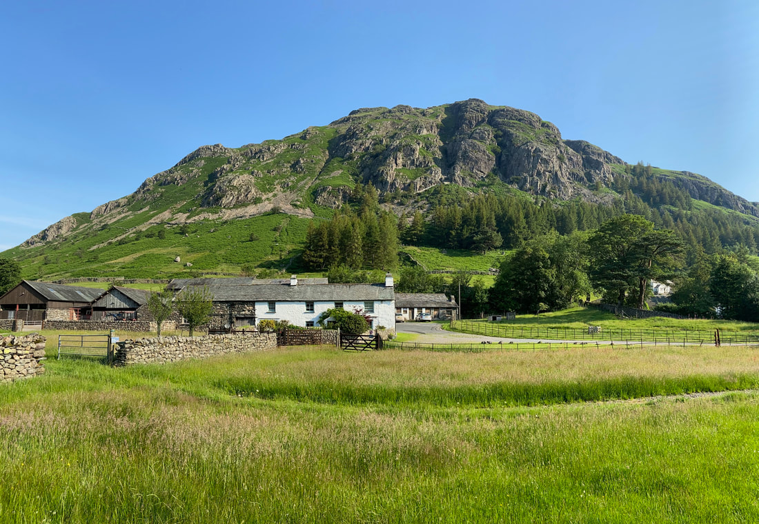
Middle Fell Farm with Raven Crag to the rear.
Part of the farm building serves as a holiday cottage and must be one of the best located places to stay in the entire National Park.
Part of the farm building serves as a holiday cottage and must be one of the best located places to stay in the entire National Park.
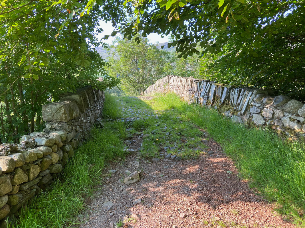
The path to Stool End can be reached by simply following the road but crossing over this old packhorse bridge is much nicer.
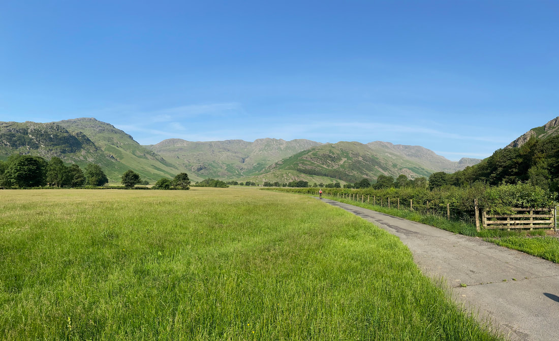
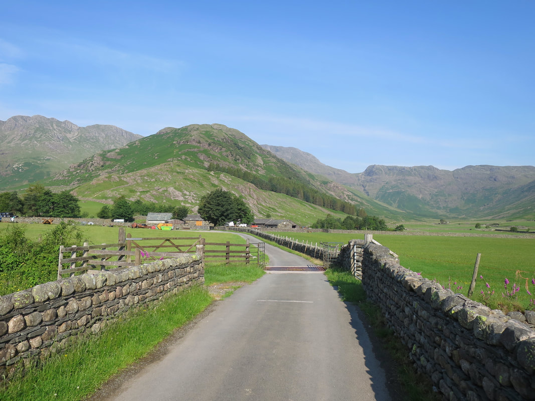
The farm track to Stool End with from the left Kettle Crag, Pike O'Blisco, Great Knott, Crinkle Crags, The Band & Bowfell
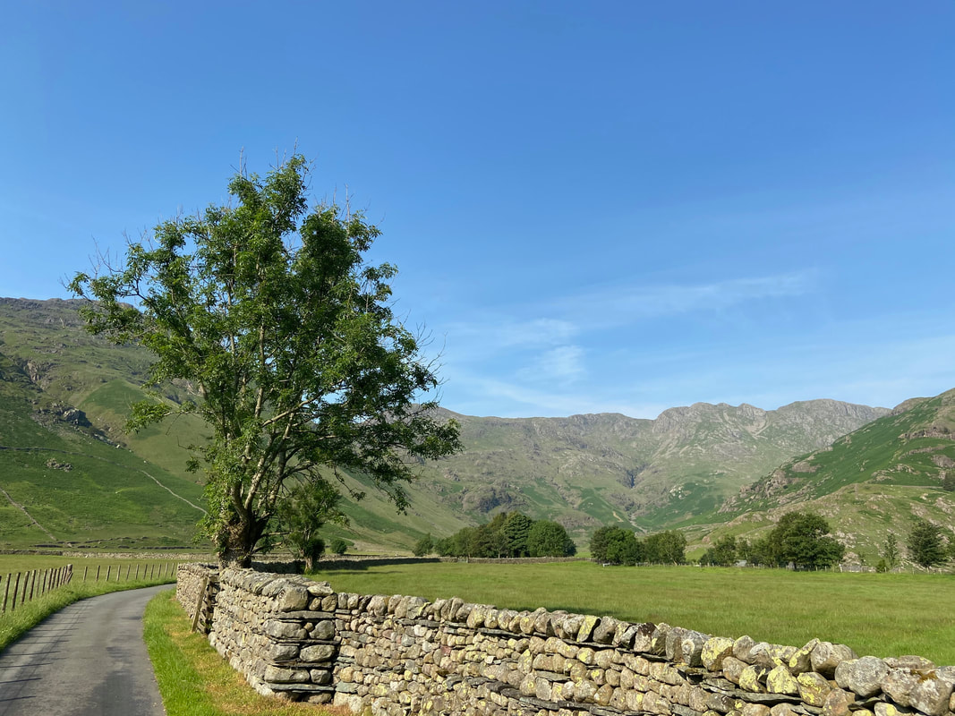
It was turning out to be a beautiful day as we continued along the farm track to Stool End
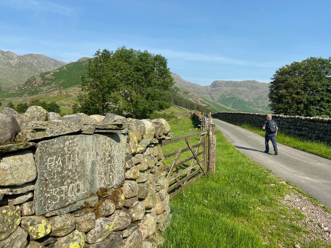
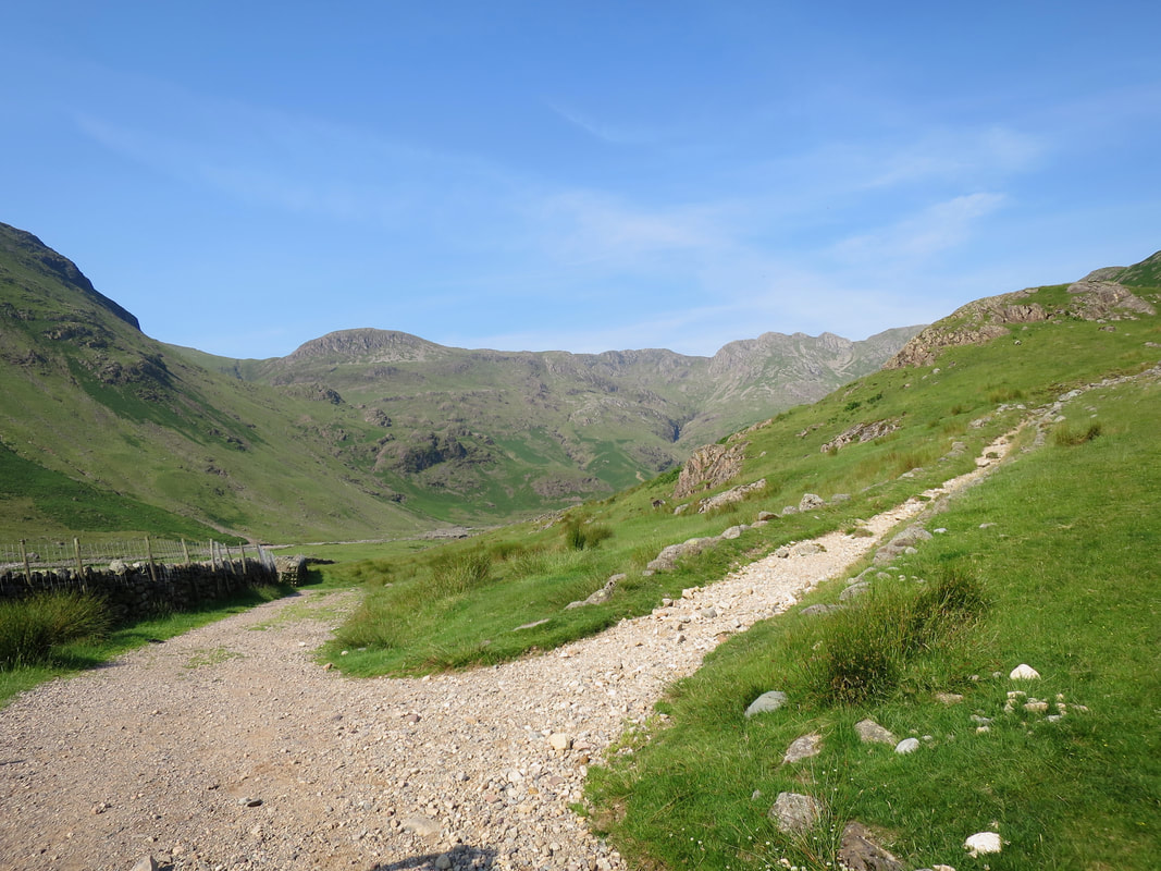
Nearing Stool End with Rossett Gill & Rossett Pike to the right
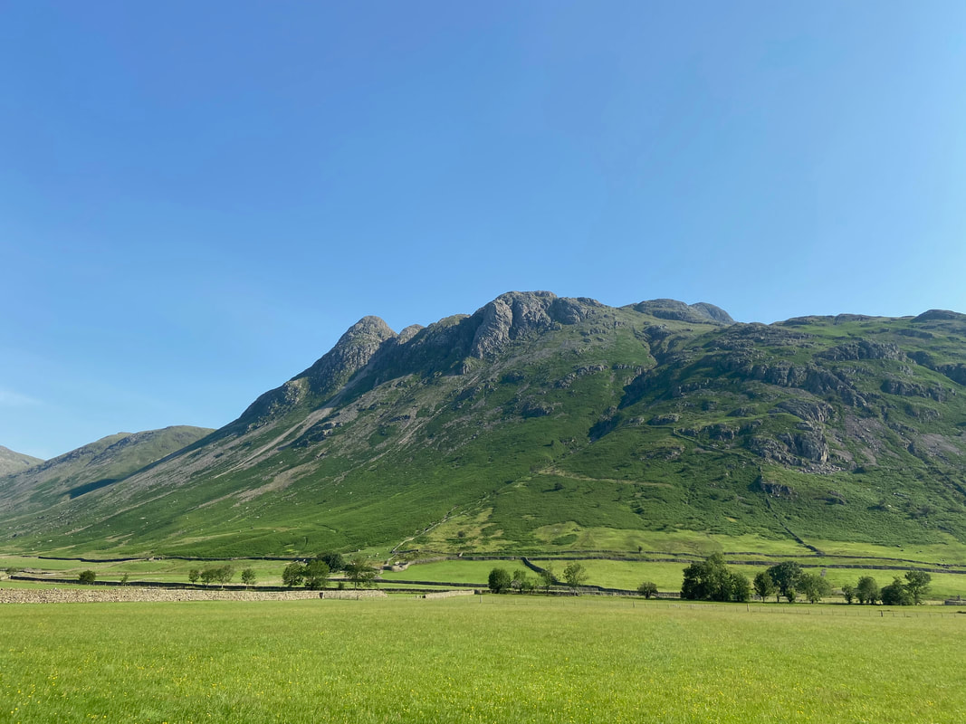
Stool End Farm with the imposing ascent of The Band behind
Looking across Mickleden to Martcrag Moor, Pike O'Stickle, Gimmer Crag & Harrison Stickle
Just after leaving Stool End the path splits - to the right is the route up to The Band which will take walkers to either Three Tarns or the Climbers Traverse. Both of these routes grant access to Bowfell with the Three Tarns path also providing a route to Crinkle Crags from north to south.
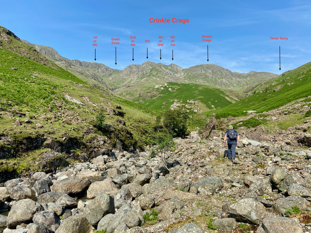
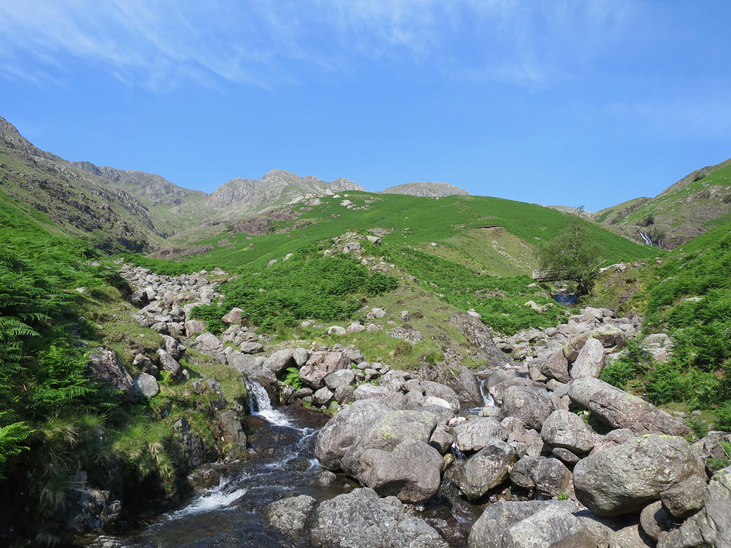
Continuing on through the still dry Oxendale Beck - shortly the beck splits into four gills (Browney, Isaac, Crinkle & Hell) - we were going to have a quick wander up Browney and then make our way up the entire length of Crinkle Gill. This point gives a splendid view of the 5 Crinkles & Shelter Crags.
The highest Crinkle (Long Top) is the one labelled "2nd or 4th". When seen from the valley (as it is here), it does not appear to be the highest but as Wainwright said in Book Four "it is set back a little from the line of the others" (Crinkle Crags 2).
The highest Crinkle (Long Top) is the one labelled "2nd or 4th". When seen from the valley (as it is here), it does not appear to be the highest but as Wainwright said in Book Four "it is set back a little from the line of the others" (Crinkle Crags 2).
Browney Gill
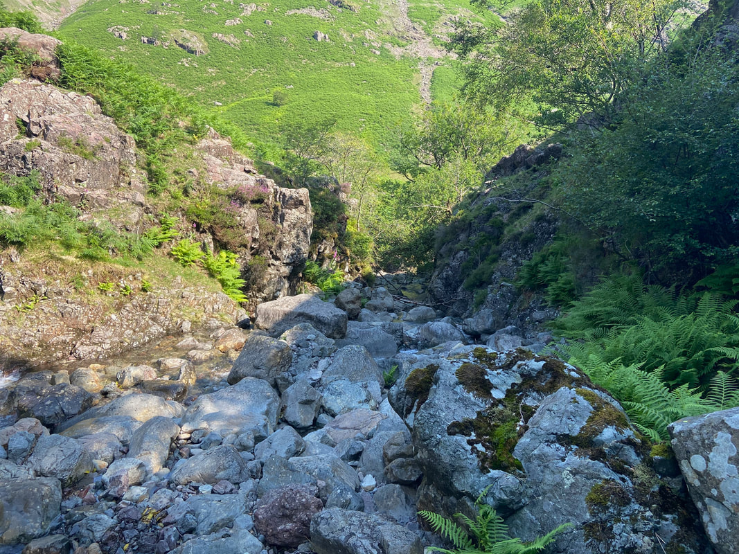
Bit more water in Browney Gill which made it more fun
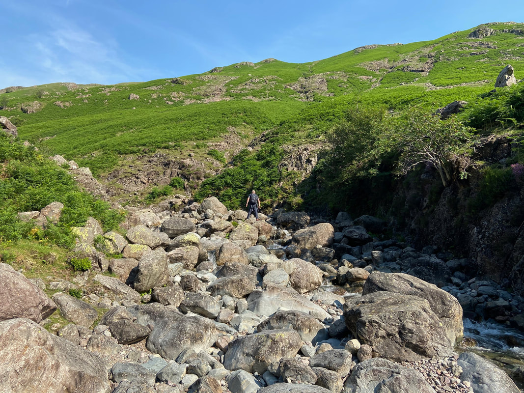
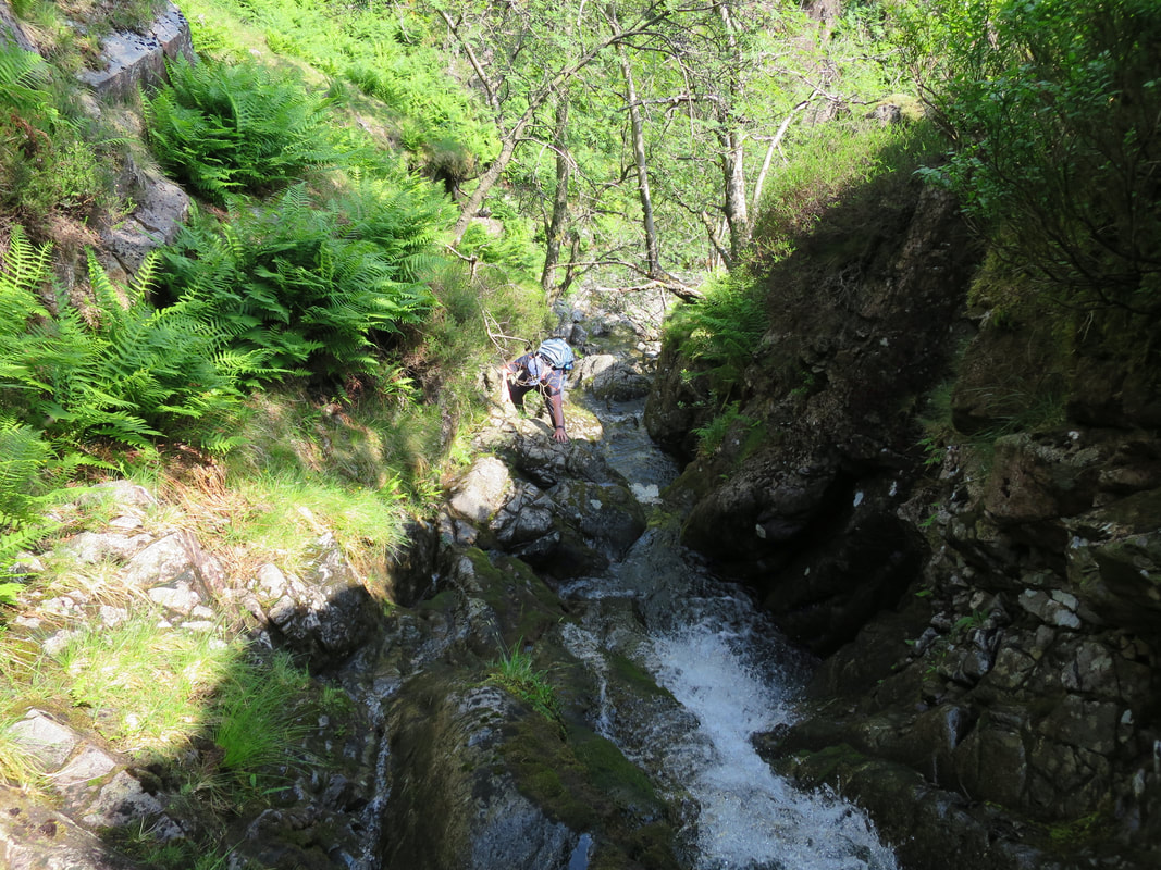
Looking down the initial ascent of Browney Gill - this was quite a steep scramble
As can be seen from my boots, by this time both of us had attached our micro spikes which gave us extra grip on the wet, slimy rock.
We did not remove our spikes until we popped out at the other end of Crinkle Gill.
We did not remove our spikes until we popped out at the other end of Crinkle Gill.
Once we had done a quick recce of Browney Gill we exited via a sheep trod come path which took us back along the western side of the gill to reach the start point for our journey up through Crinkle Gill.
Whorneyside Force and Hell Gill
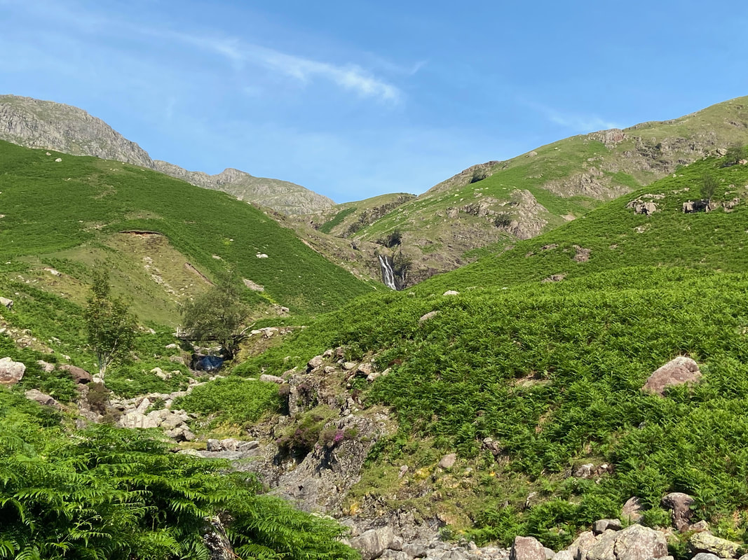
The footbridge partly hidden by the trees provides the walker with a couple of more options in which to ascend Crinkle Crags. Heading straight on over the footbridge is the direct route which is over an intermittent path and terminates between Gunson Knott & Shelter Crags. Turning right over the footbridge leads to Three Tarns passing Whorneyside Force to then follow the left hand side of Buscoe Sike.
The footbridge partly hidden by the trees provides the walker with a couple of more options in which to ascend Crinkle Crags. Heading straight on over the footbridge is the direct route which is over an intermittent path and terminates between Gunson Knott & Shelter Crags. Turning right over the footbridge leads to Three Tarns passing Whorneyside Force to then follow the left hand side of Buscoe Sike.
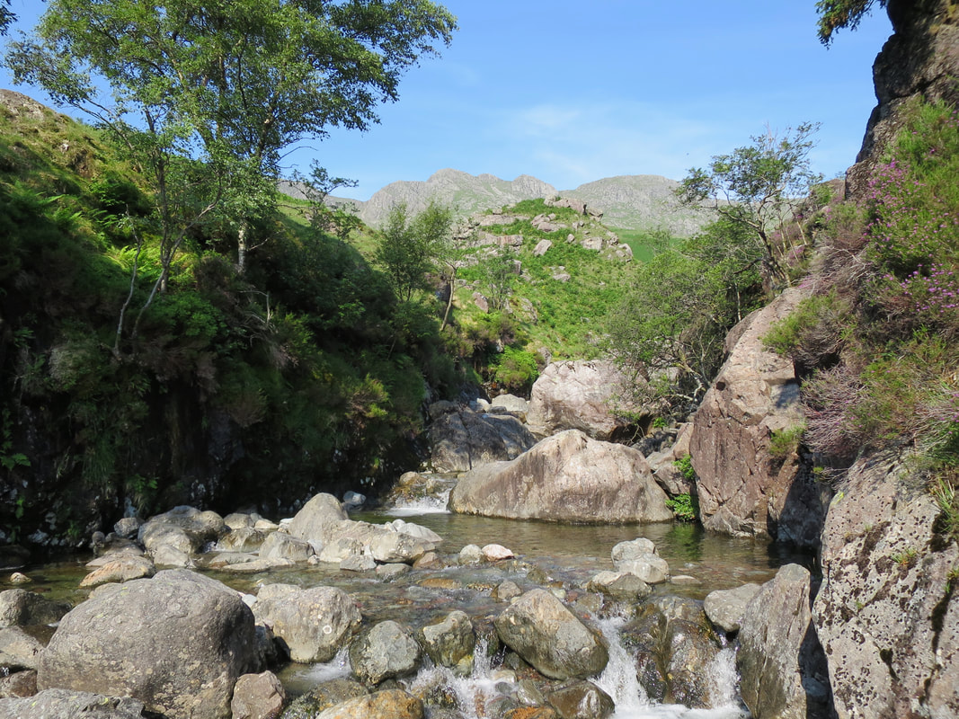
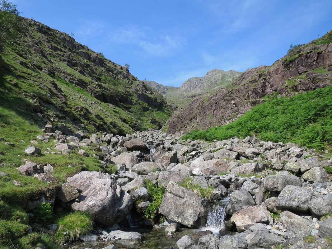
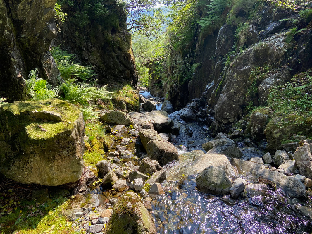
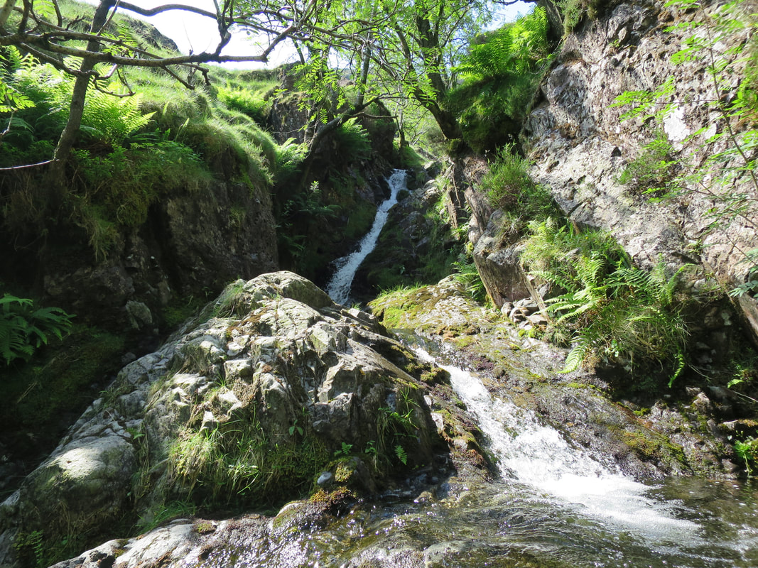
The lower part of Crinkle Gill.
At this point I was thinking this would be an absolute doddle but the transit was about to become much more difficult (and more fun).
At this point I was thinking this would be an absolute doddle but the transit was about to become much more difficult (and more fun).
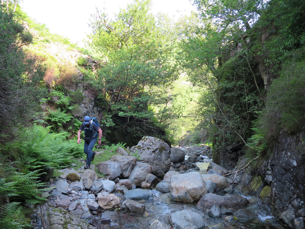
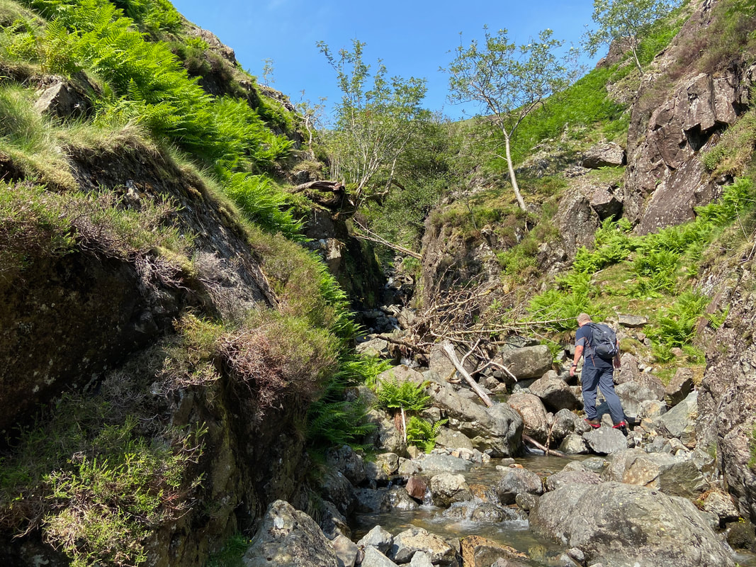
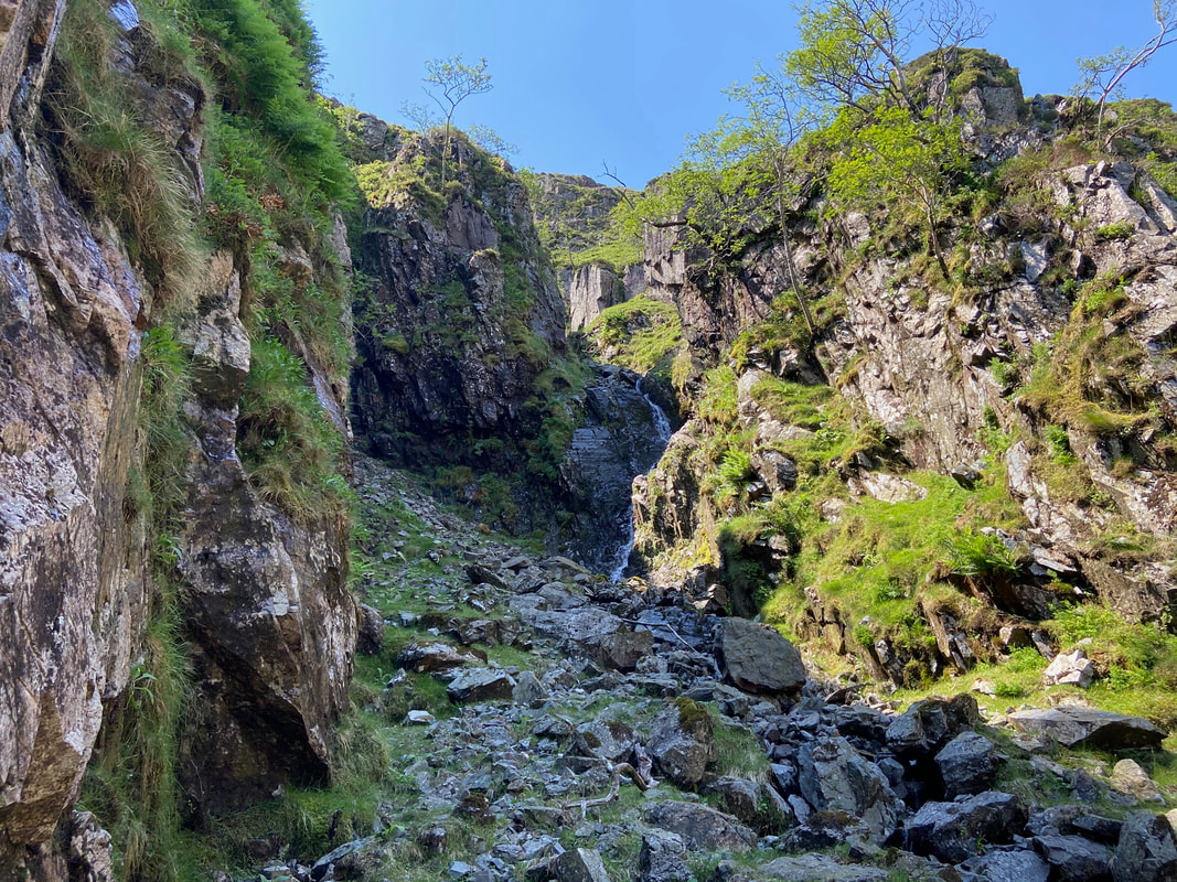
Here we go then - lots to think about as we make our way up the narrow part of the gill
This was just great fun
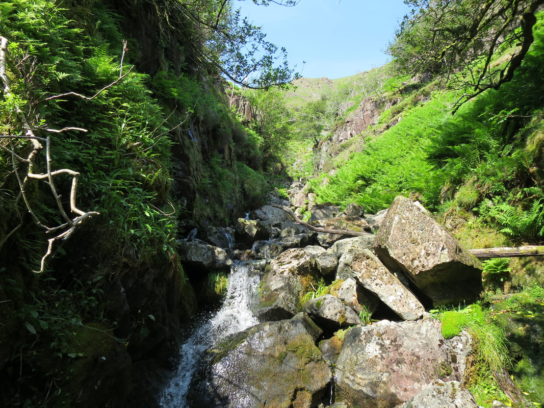
As we gained height the terrain became more tricky
Looking back down the gill
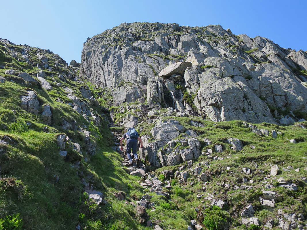
Our first real obstacle - the ascent was via scrambling up the right hand side.
Two choices here - either go up the dry rock left of centre or go to the right
The superb scrambling continues as I make my way up through the gill
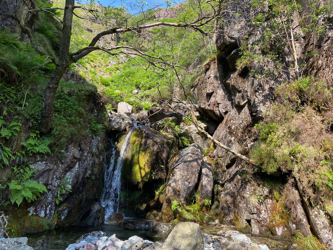
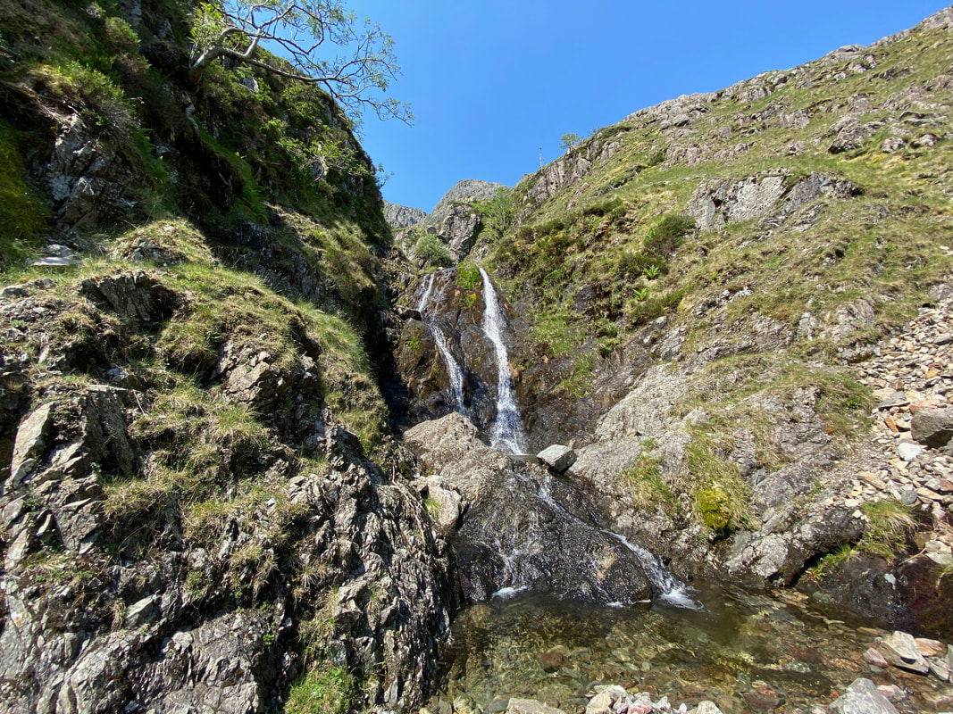
The safest way of approach here is to climb up the rocks left of centre then cross the waterfall to scramble up the right hand side of the upper one.
A little further up and the terrain and gradient eased as the gill widened for about a 100 or so yards
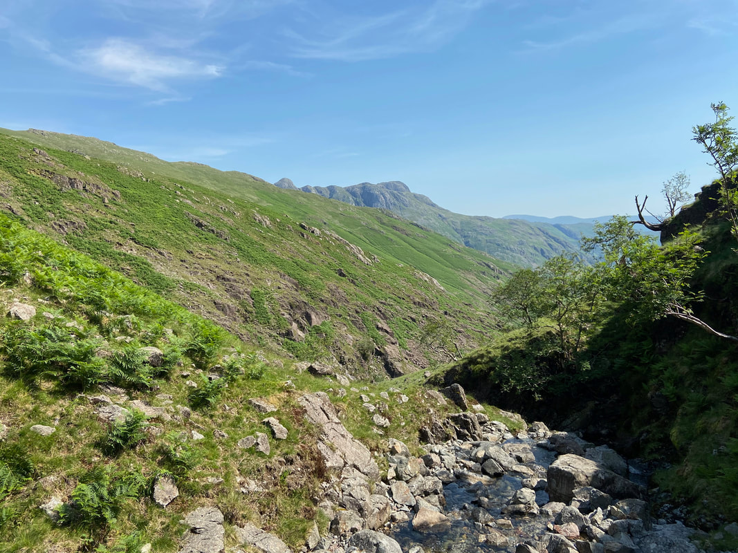
Looking back down Crinkle Gill to the Langdale Pikes.
It is always worth making sure you look behind on any walk otherwise you would miss views like this.
It is always worth making sure you look behind on any walk otherwise you would miss views like this.
Once again the gill narrowed and with the recent warm weather had dried up considerably.
We thought we had the gill to ourselves but looking back we were aware of another walker approaching who can be seen in the centre of shot.
Apart from a couple of people on Crinkle Crags, he was the only other person we saw all day
Apart from a couple of people on Crinkle Crags, he was the only other person we saw all day
After a brief chat he was off. This chap was on his own and therefore taking a bit of a risk should he have had an accident. On walks like this where the phone signal is non existent it is imperative that somebody knows the route you are taking in case of an emergency. To be honest, this should be common practice irrespective of the danger.
During our transit of the gill we had seen a couple of dead sheep and it is easy to see why. The gill is steep sided in places and it was our guess that the poor creatures simply tumbled over the edge of precipices like this to an untimely death.
This was an enjoyable scramble and reminded me of Gordale Scar in the Yorkshire Dales.
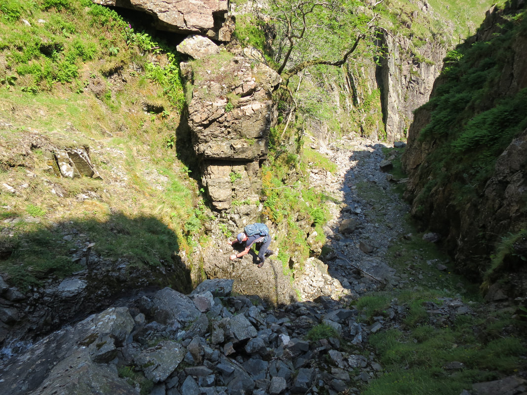
The scramble was interesting - Richard went up the right hand side and I went up the left.
The scramble was interesting - Richard went up the right hand side and I went up the left.
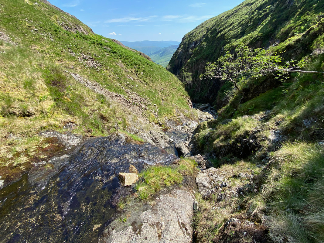
Looking back down the gill from the top of the two waterfalls
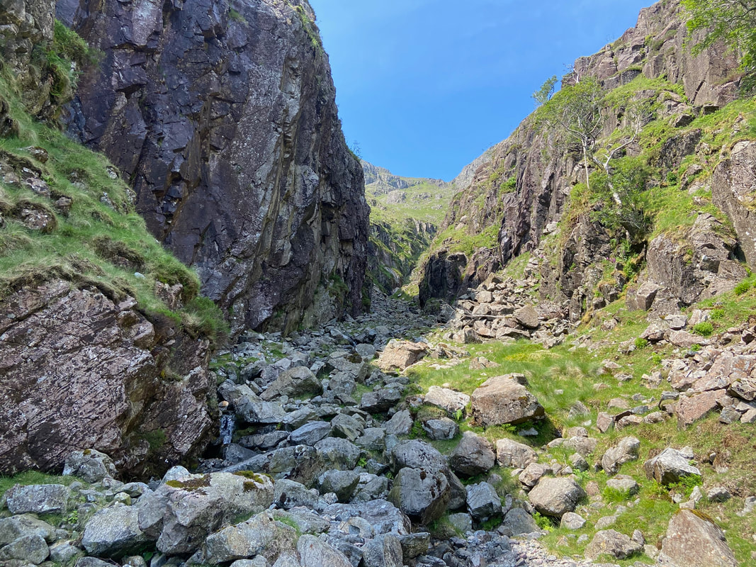
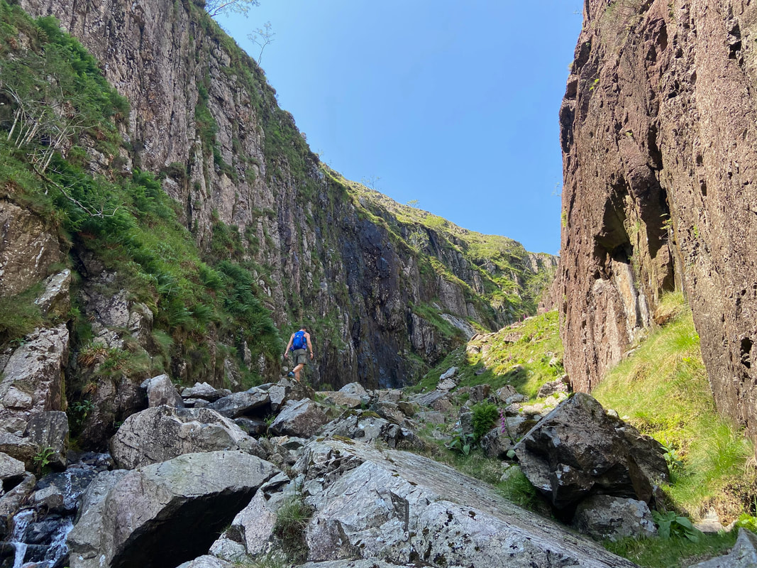
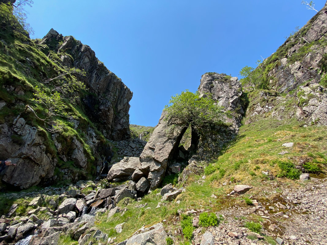
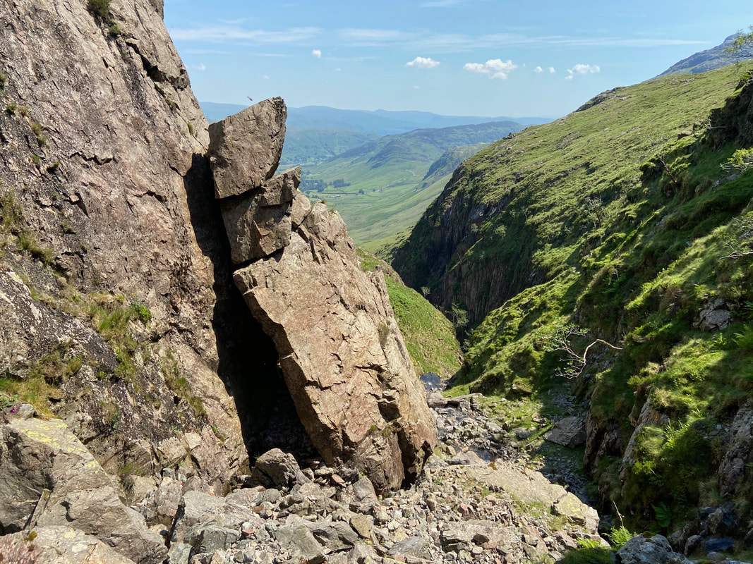
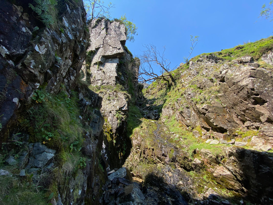
At this huge chock stone we were almost at the top of the gill but there was still a couple of surprises in store before we were clear.
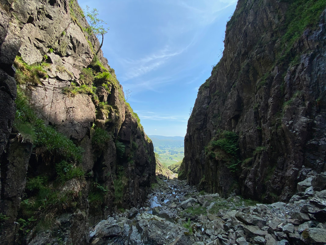
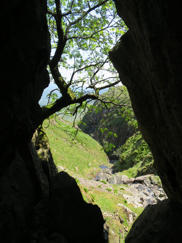
The view back down the gill through the chock stone gap
We discussed giving the chock stone a name but couldn't think of anything either clean or half decent - safe to say it was a huge piece of stone.
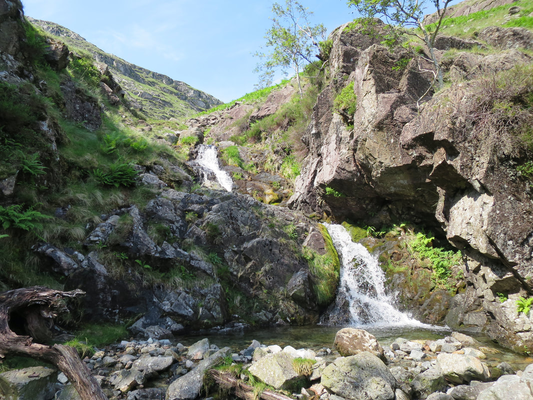
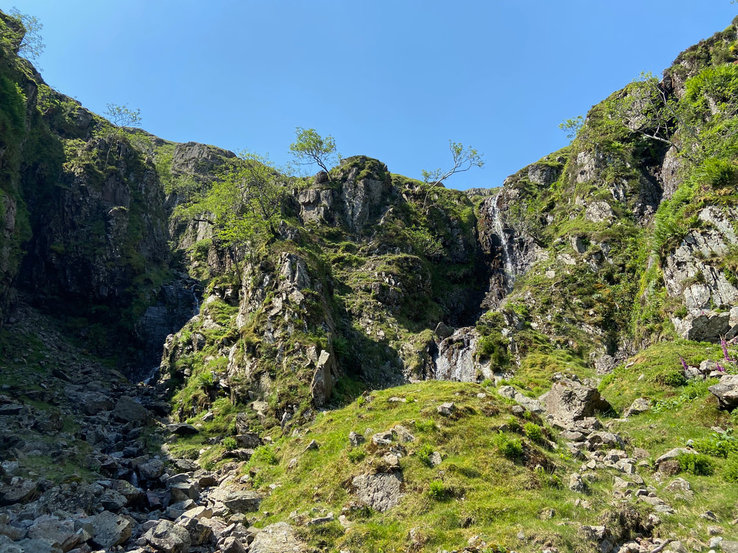
At the top of the gill a conundrum greeted us as to which route to take. On closer inspection there appeared to be three routes on offer. To the right was a sheer waterfall face which whilst challenging was simply too steep. In the centre of shot was a grassy rake which was the easier of the three. We plumped for the route up the left hand side which was an exhilirating scramble as can be seen from the photographs that follow.
The foot of the left hand route
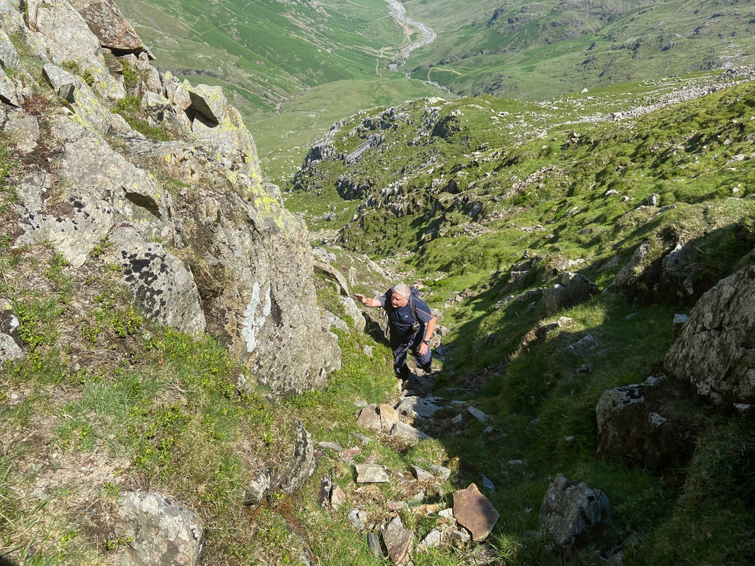
Richard ascended first and took this photo of me climbing up the first part of the scramble. This photo was taken from about half way up the ascent.
All that was left to complete this exhilirating gill scramble was about 100 yards or so of climbing.
For me this final climb was the highlight of the day - it was just superb.
For me this final climb was the highlight of the day - it was just superb.
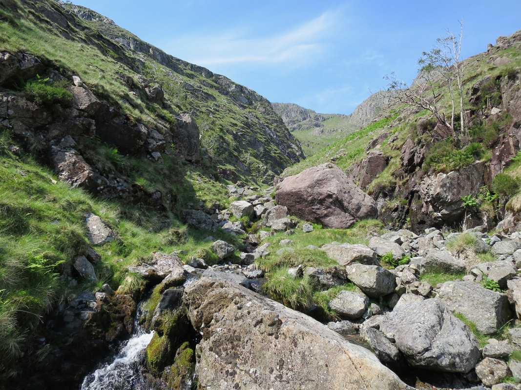
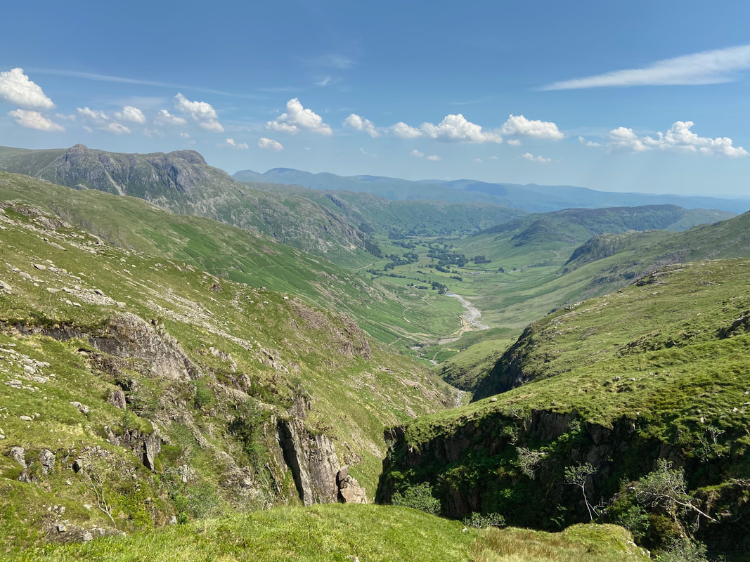
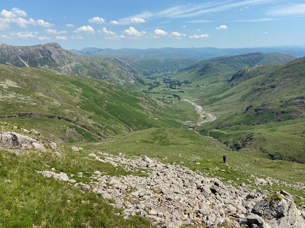
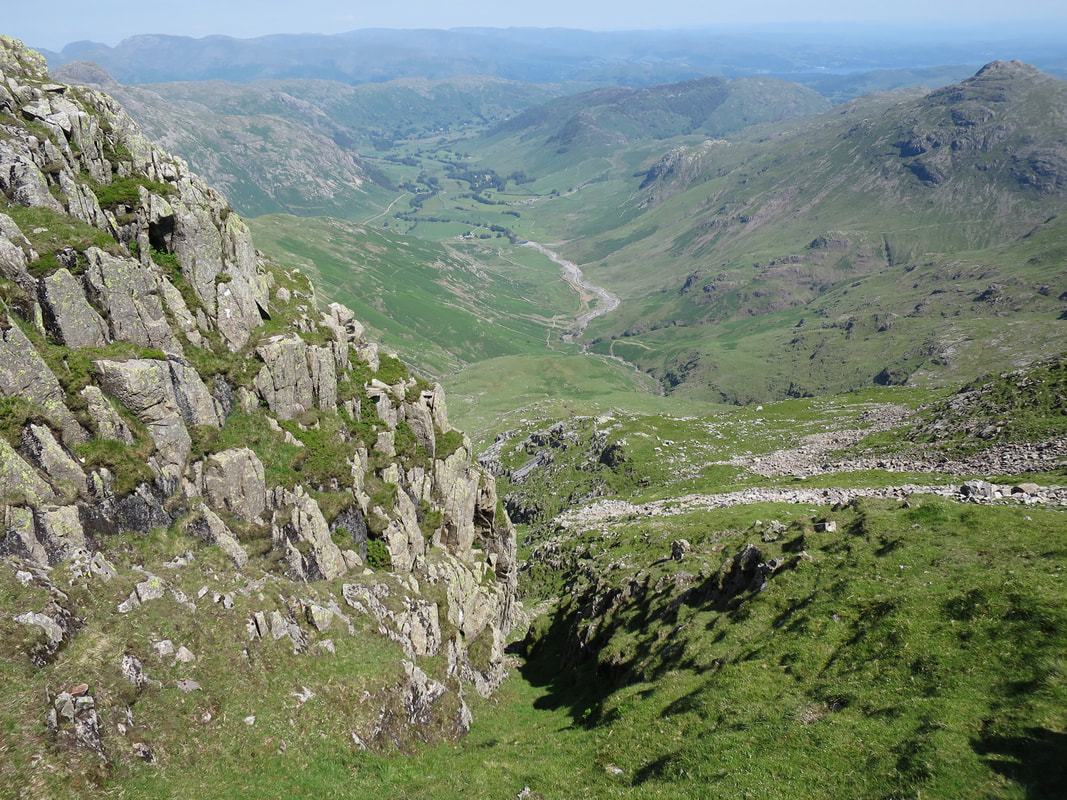
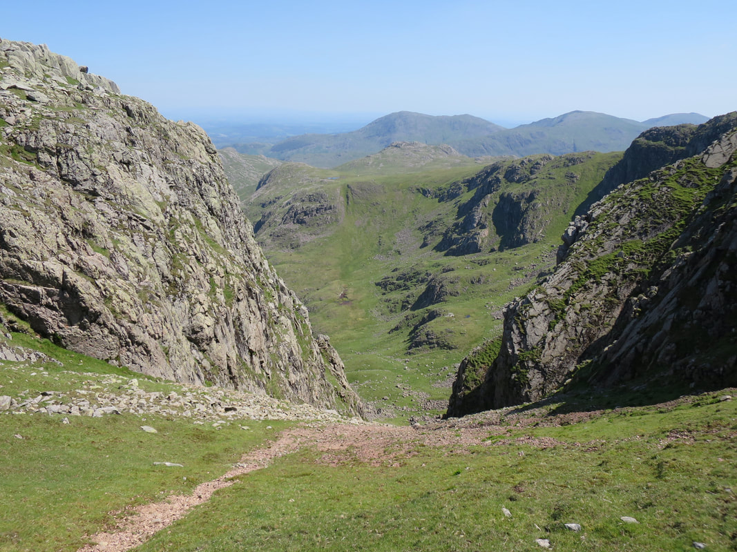
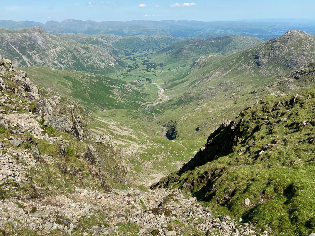
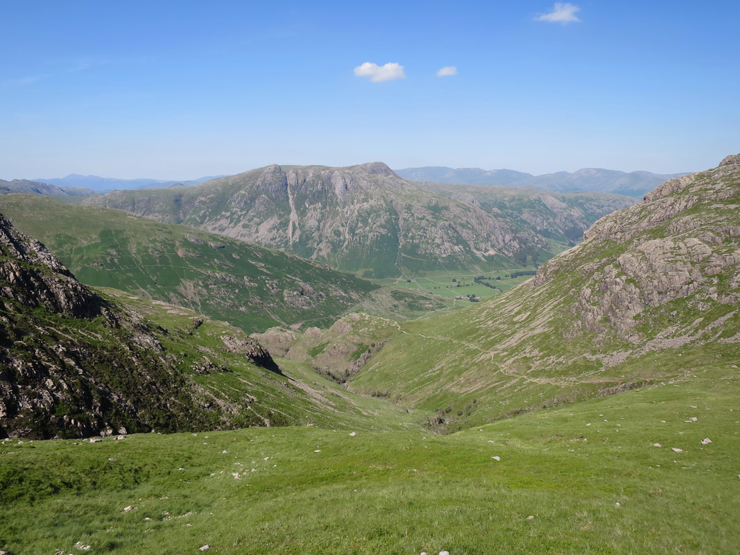
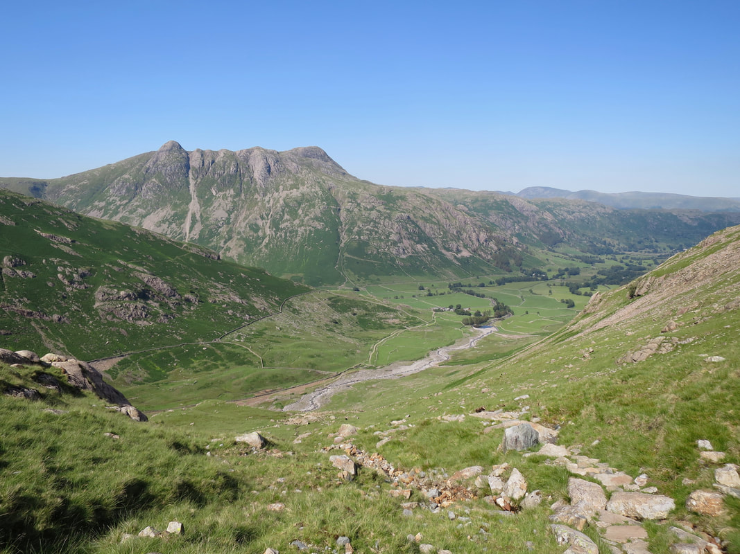
Popping out at the top of the gill like a cork from a bottle and what a view down Oxendale into Langdale
It doesn't get much better than this
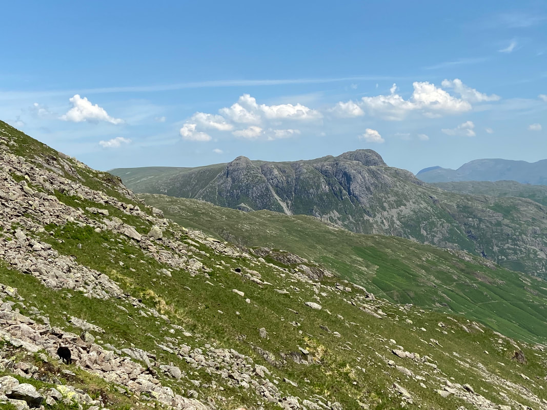
The views of the Langdale Pikes were just fantastic today
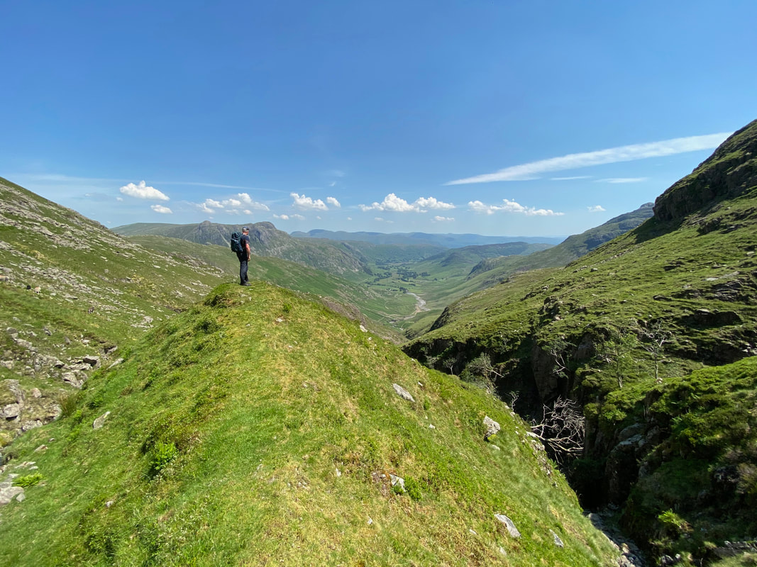
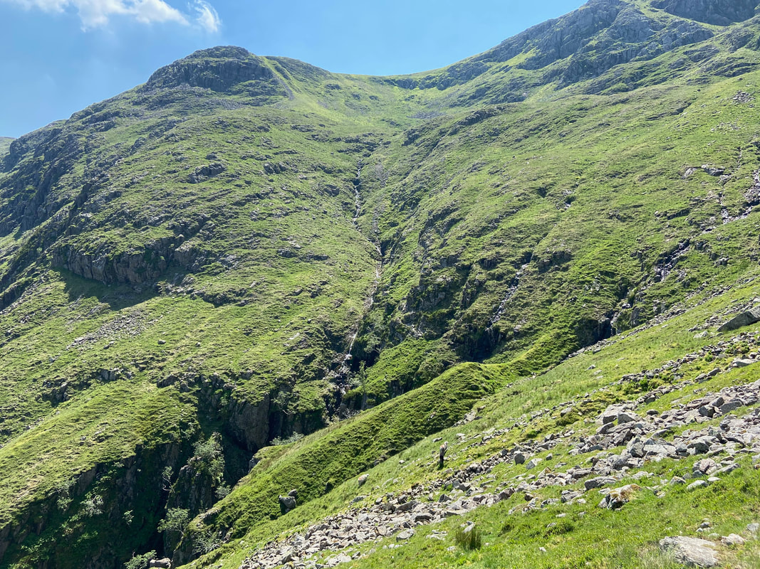
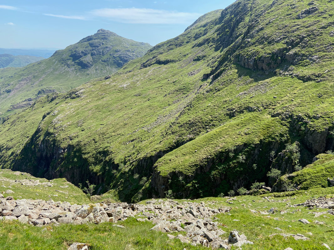
The top of Crinkle Gill
Pike O'Blisco from the top of Crinkle Gill with the slopes of Great Knott to the right
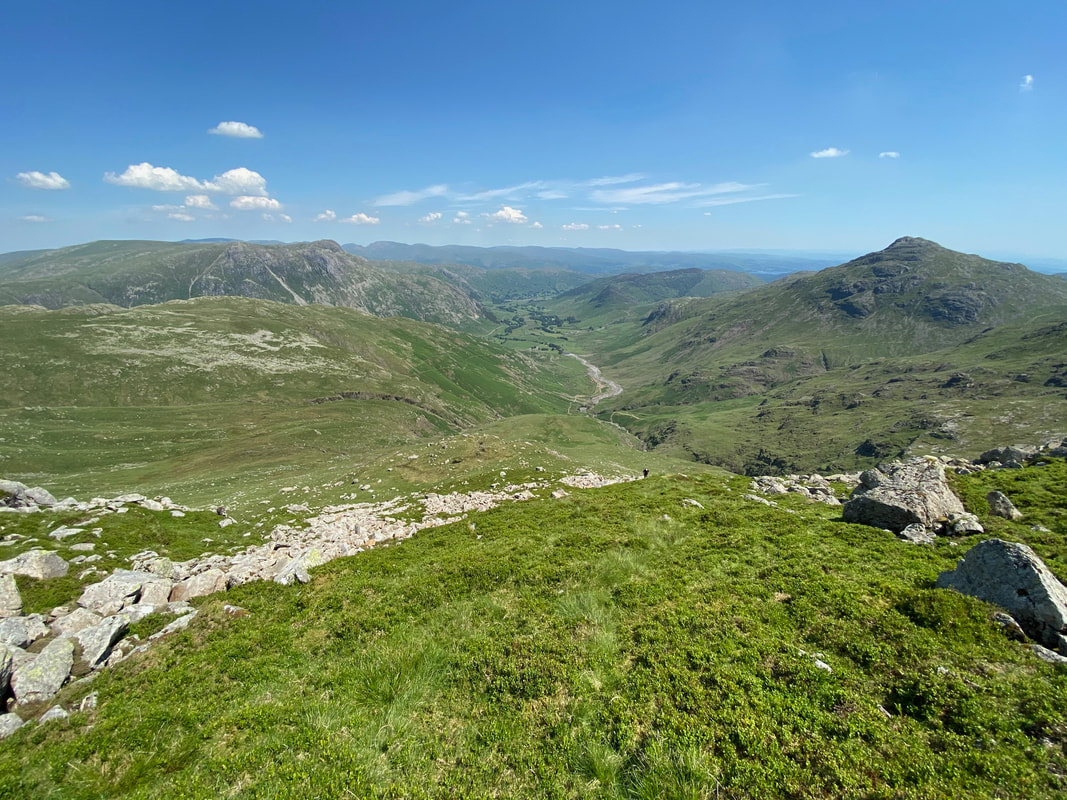
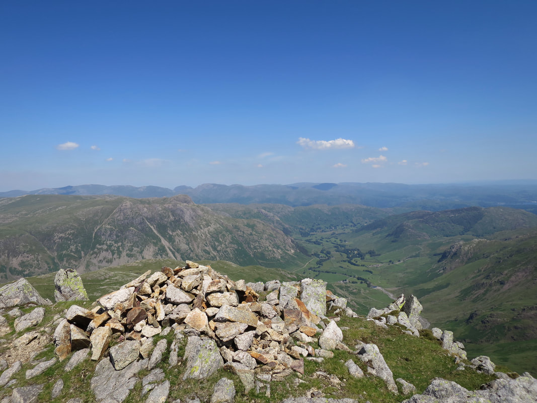
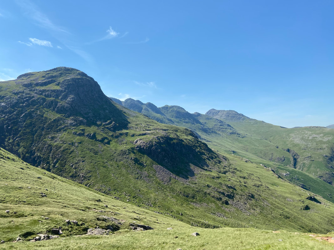
Oxendale & Langdale from the ascent to Gunson Knott on Crinkle Crags
Another view of the head of Crinkle Gill & Pike O'Blisco
After traversing across the slopes of Crinkle Crags we started to climb again at a point roughly between High & Low Bleaberry Knott
The Band, Langdale Pikes, Lingmoor Fell & Pike O'Blisco from near High Bleaberry Knott
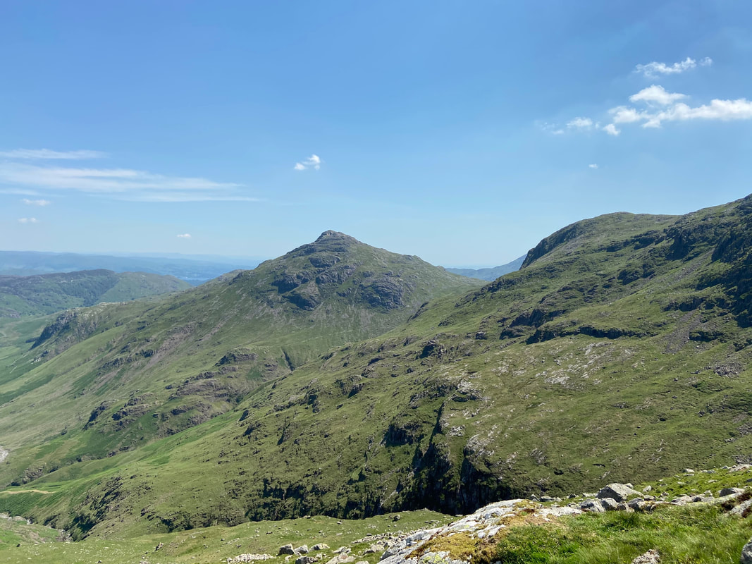
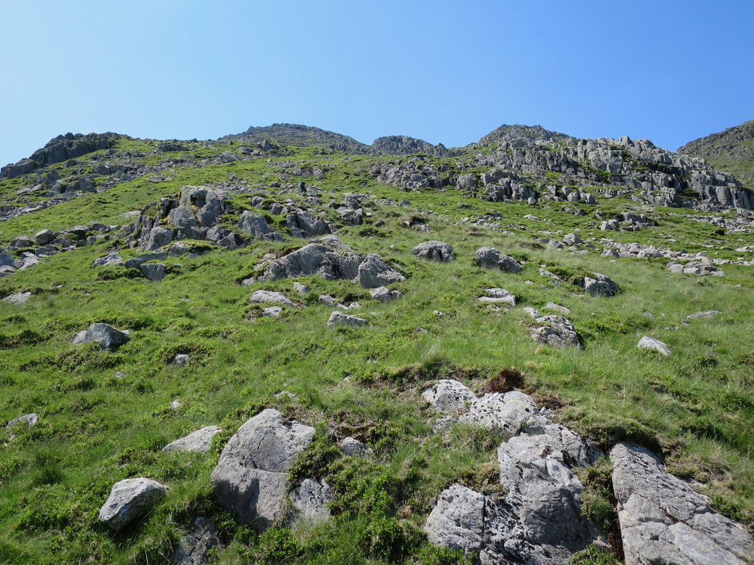
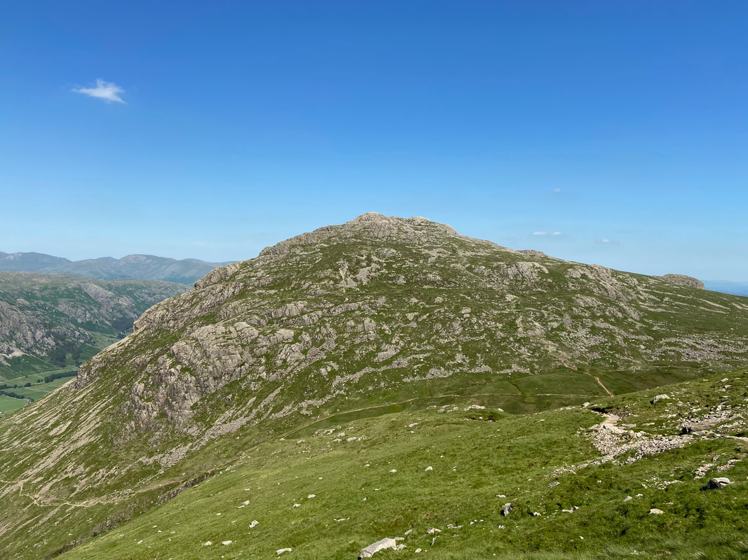
Gunson Knott (our first Crinkle) was now ahead of us to the right and we were aiming for the grassy rake ahead
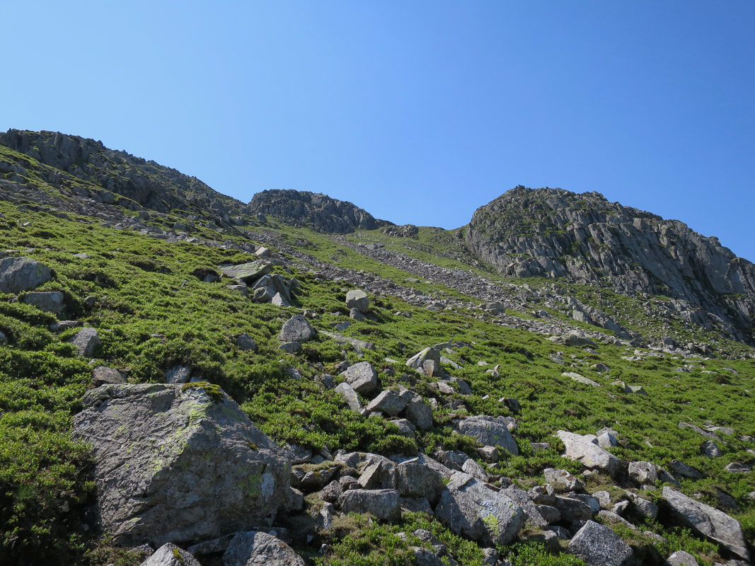
The base of the rake below Gunson Knott
Looking back down the rake from about half way up
At the top of the rake looking into Oxendale
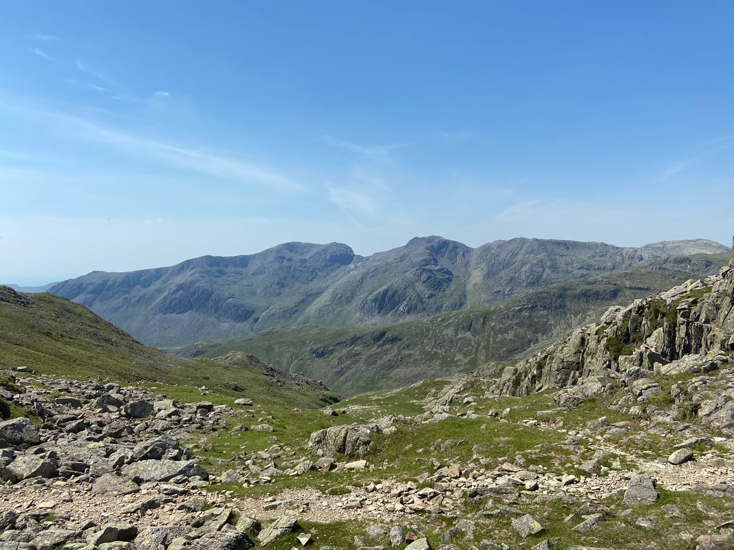
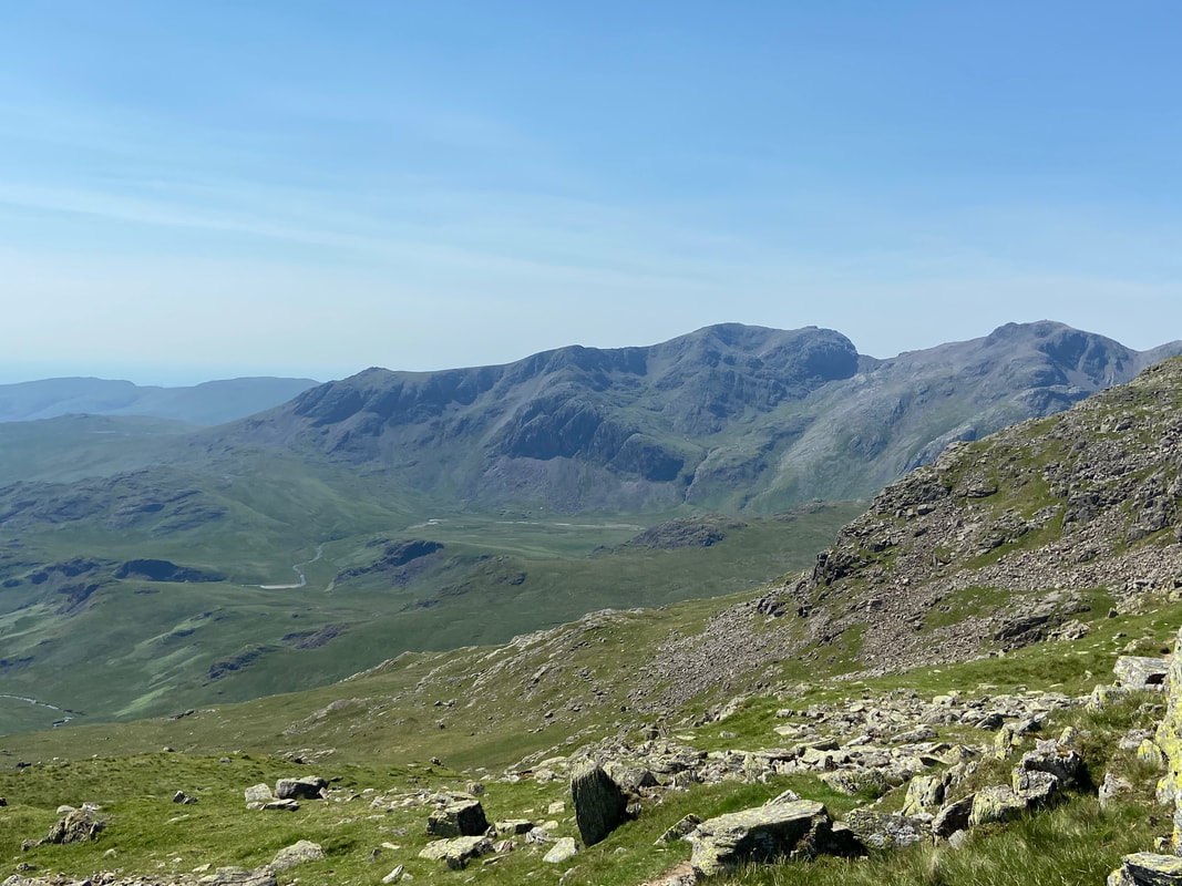
On exiting the rake a fantastic view of The Scafell range greeted us - wow!
Shelter Crags & Bowfell from Gunson Knott
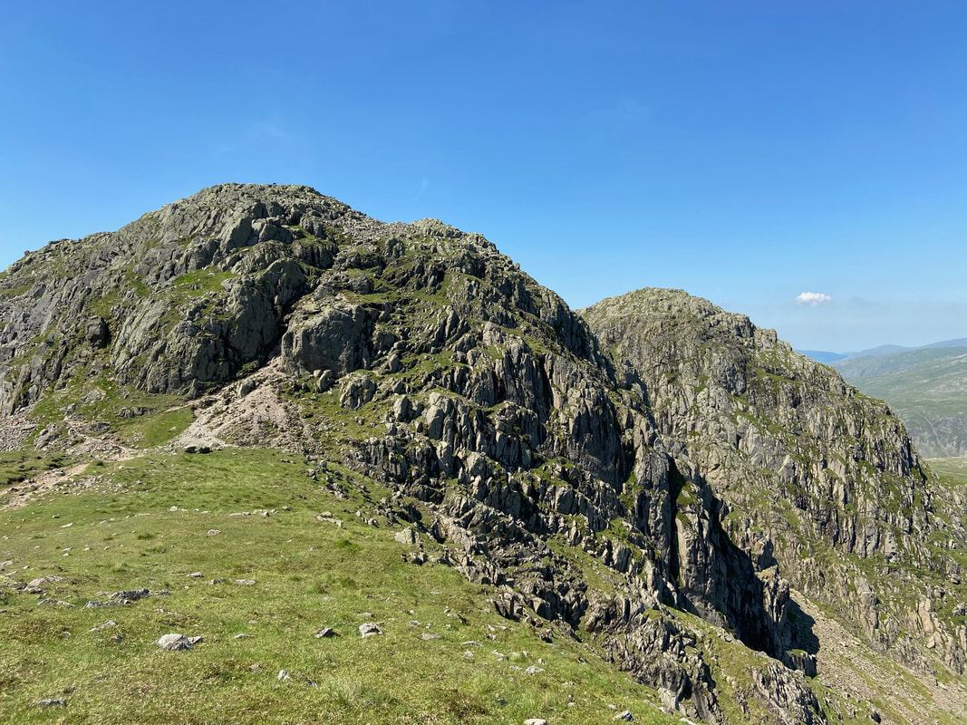
The summit of Gunson Knott
It is only a short transit from the 1st (or 5th) Crinkle to the 2nd (or 4th) depending on which way you are travelling.
Gunson Knott from the 2nd (or 4th) Crinkle
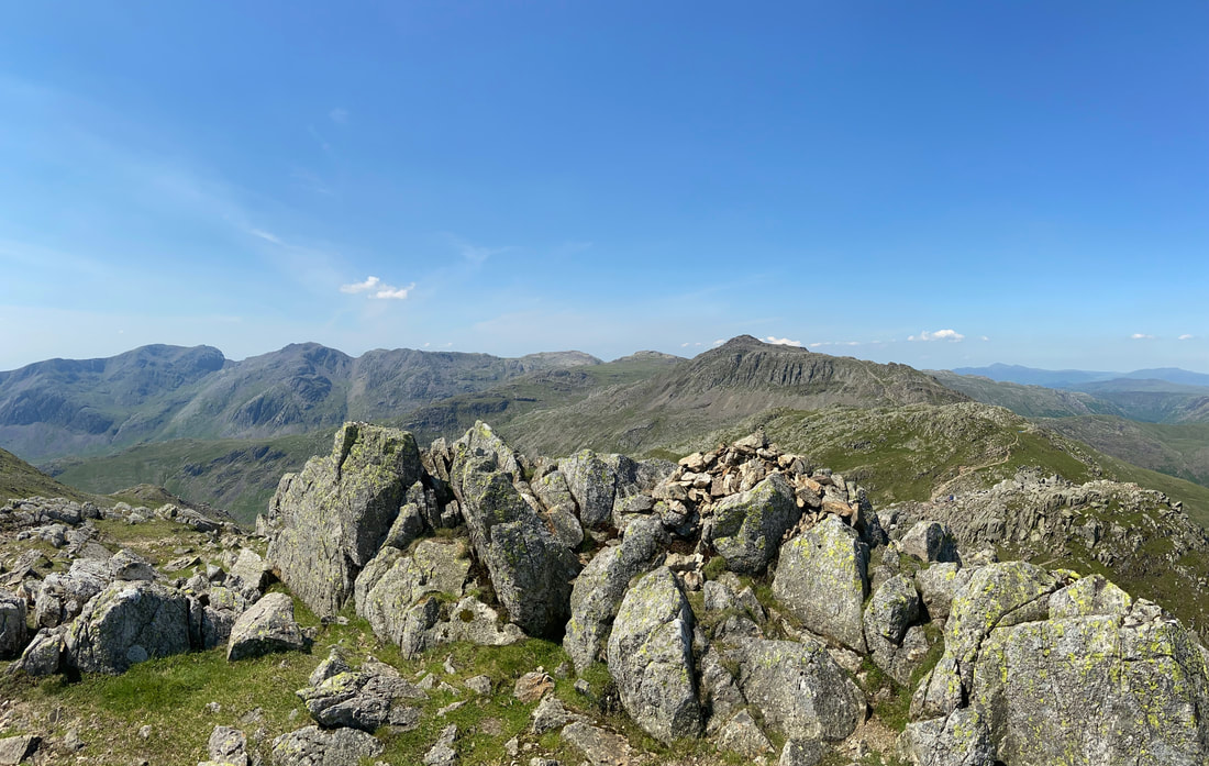
The Scafell Range & Bowfell from the 2nd (or 4th) Crinkle
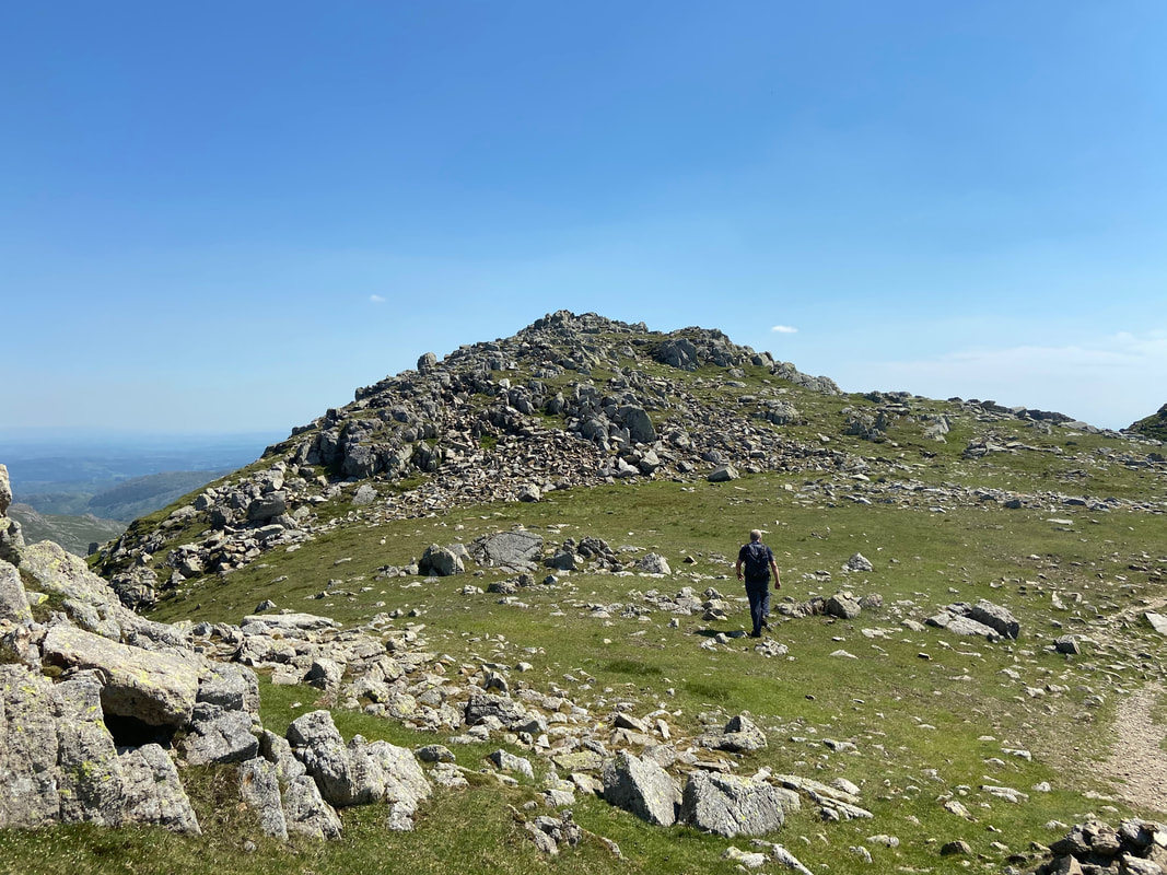
There is a short walk over to the 3rd Crinkle from the 2nd (or 4th)
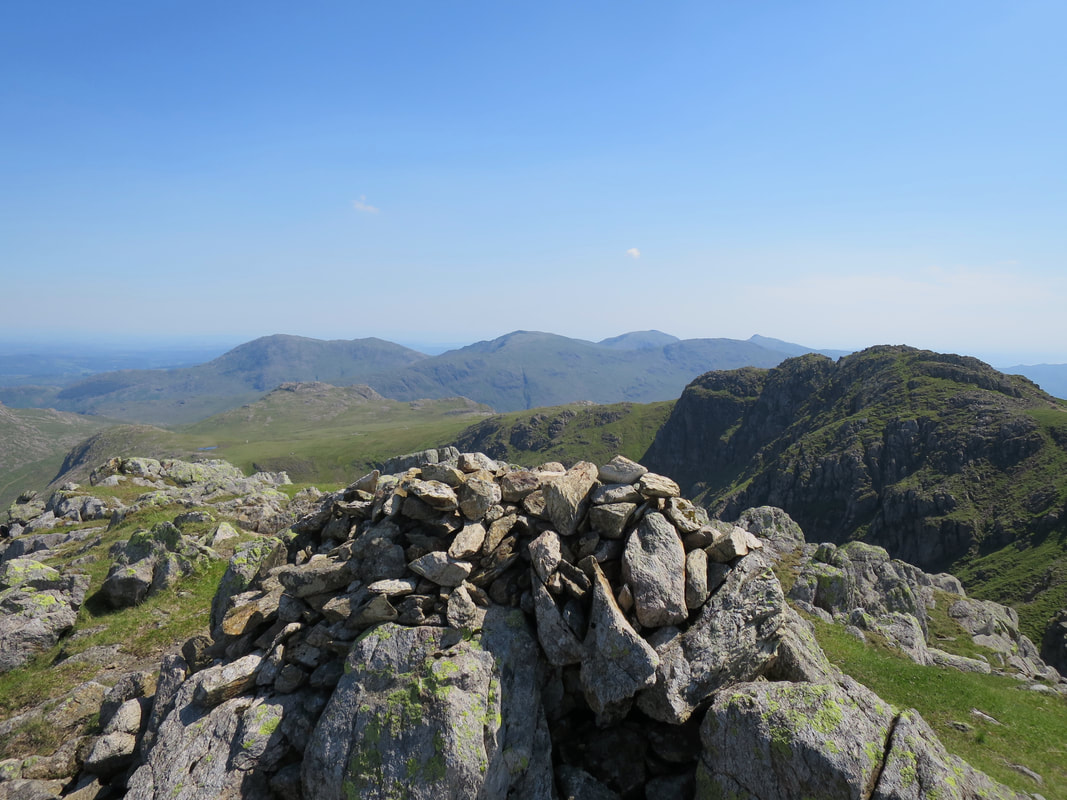
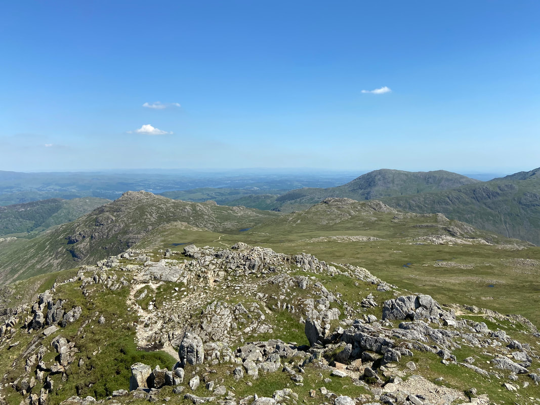
The summit of the 3rd Crinkle with a cracking view of the Coniston Fells
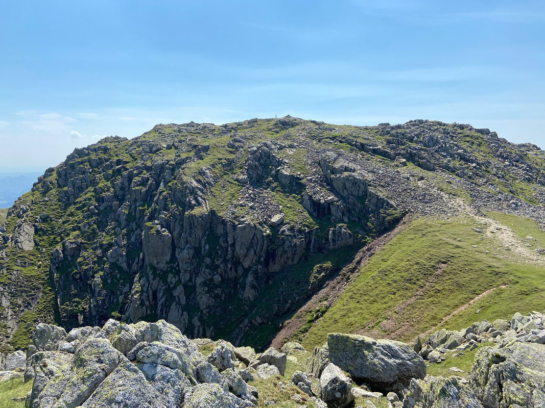
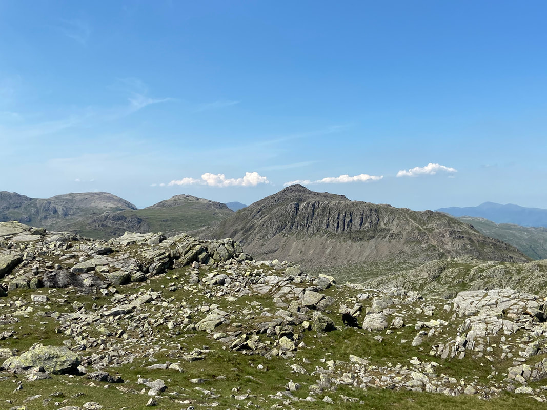
Long Top complete with lone walker from the summit of the 3rd Crinkle
The wide scree gully of Mickle Door - we originally intended to ascend via this route.
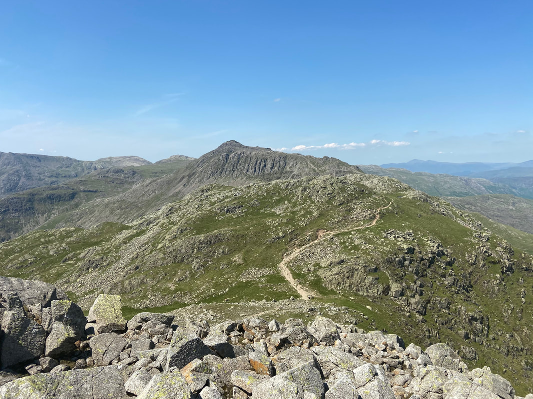
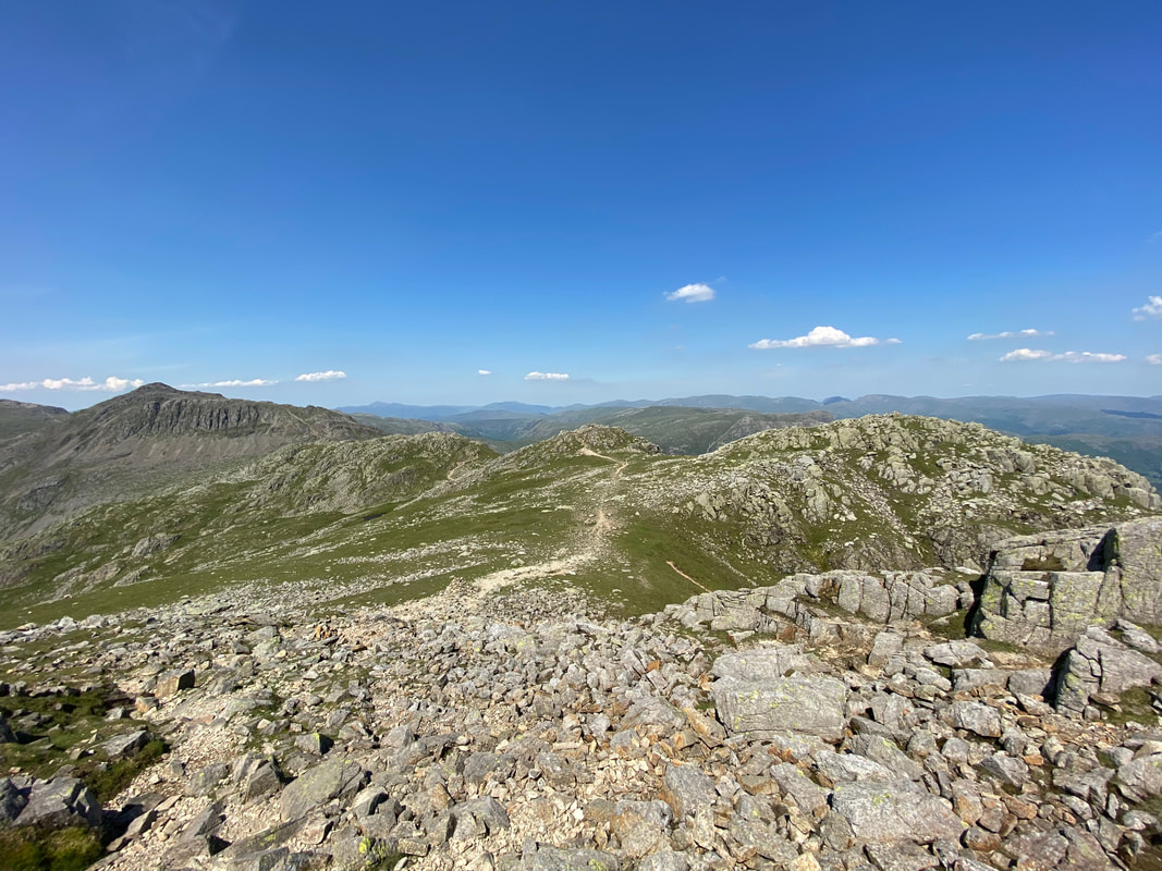
The view back along the remaining Crinkles from Long Top
Great End, Esk Pike, Ore Gap & Bowfell from Long Top, the summit of Crinkle Crags.
The clefts seen here on Bowfells south face are known as the Bowfell Links. The path seen moving from right to left is the one from Three Tarns.
The clefts seen here on Bowfells south face are known as the Bowfell Links. The path seen moving from right to left is the one from Three Tarns.
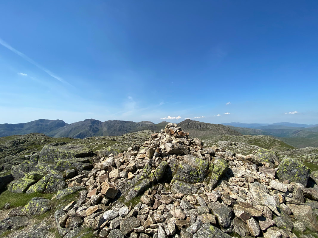
Long Top, the summit of Crinkle Crags
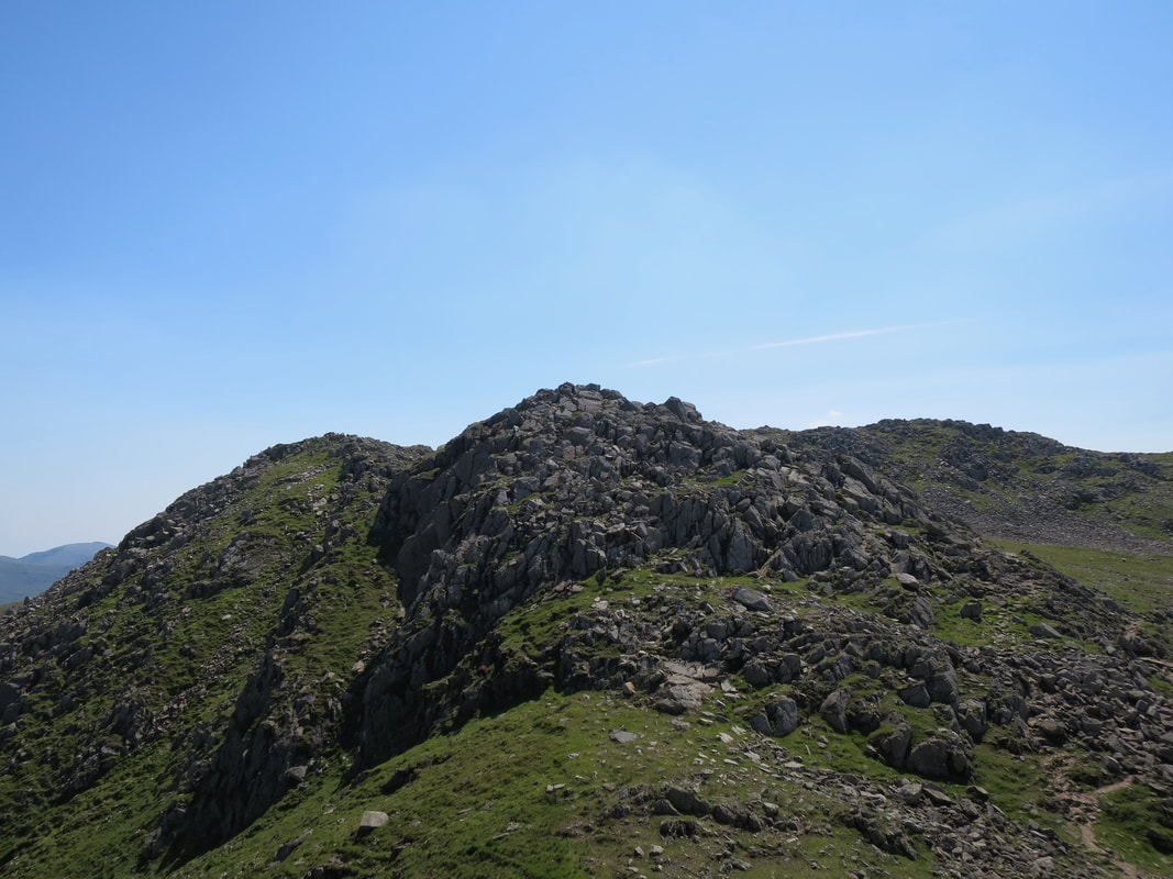
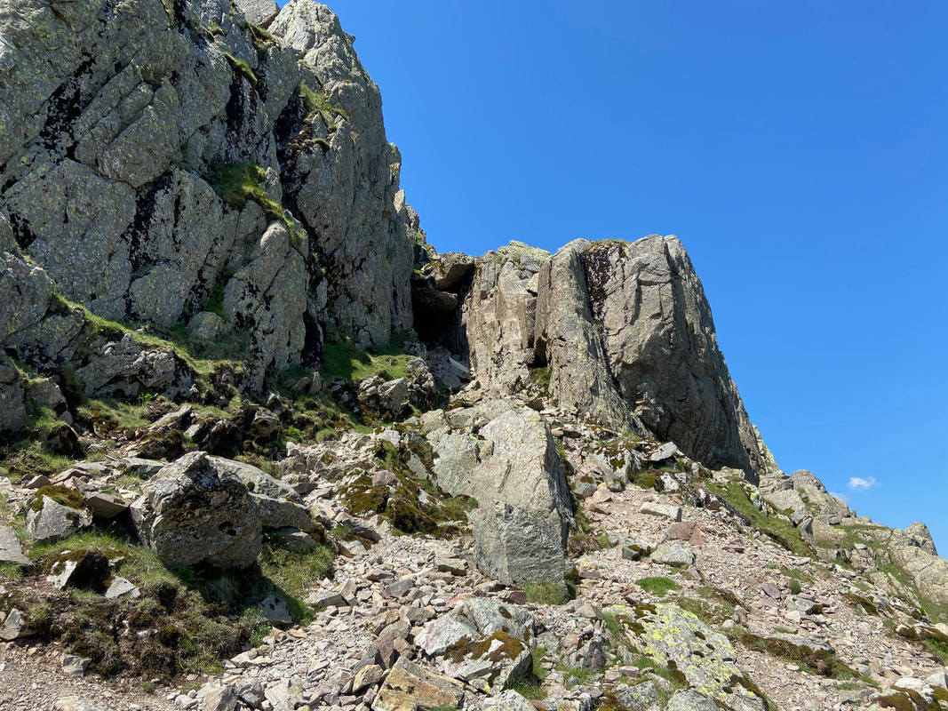
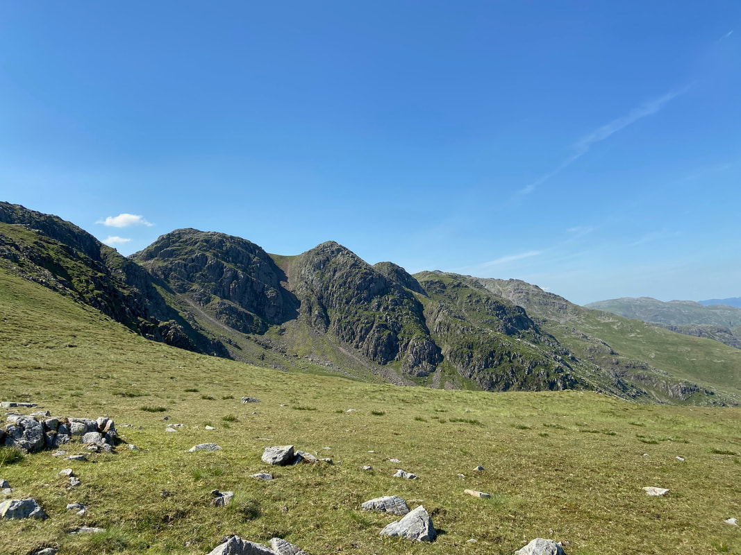
The Bad Step ascent when transiting the Crinkles from south to north.
The climb up is not too difficult and is an enjoyable scramble but for those who do not fancy it, there is a path around to the left hand side.
The climb up is not too difficult and is an enjoyable scramble but for those who do not fancy it, there is a path around to the left hand side.
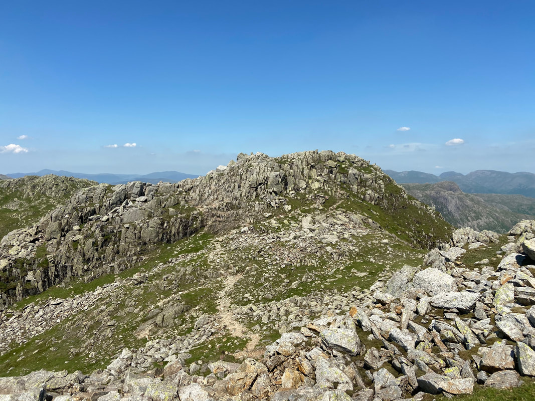
The 5th (or 1st) Crinkle from near the Bad Step at the foot of Long Top
Looking into Great Cove to what Wainwright described as a 'scree slide" (Crinkle Crags 11)
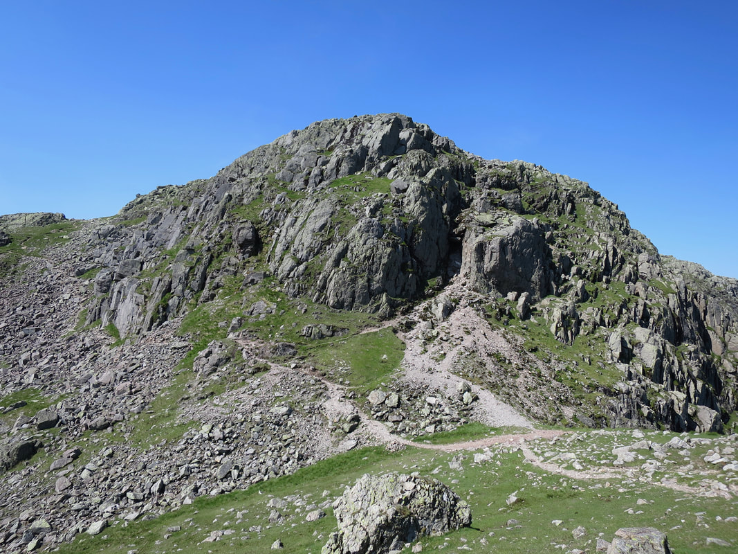
Long Top, the summit of Crinkle Crags with the Bad Step centre right
Looking to Long Top and the 3rd Crinkle
Looking across Upper Eskdale to Slight Side, Long Green, Scafell & Scafell Pike
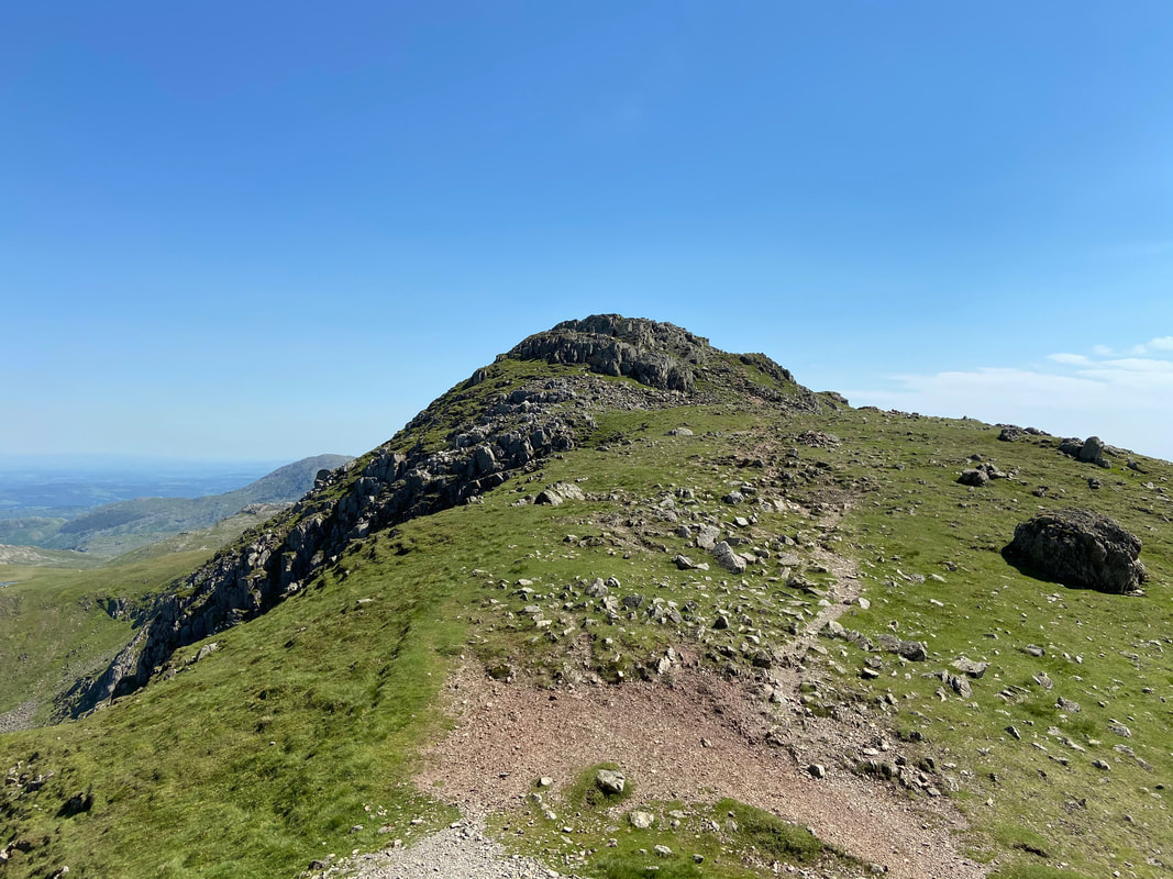
The summit of the 5th (or 1st Crinkle).
The path to Red Tarn snakes away in the distance with Pike O'Blisco, Cold Pike, Wetherlam & Black Sails in view
The path to Red Tarn snakes away in the distance with Pike O'Blisco, Cold Pike, Wetherlam & Black Sails in view
Crinkle Crags from the descent path to Red Tarn. The summit of Crinkle Crags, Long Top is to the left of centre
Cold Pike - a worthy diversion should you have the time
Looking to our descent into Oxendale va the Brown Howe path
Pike O'Blisco
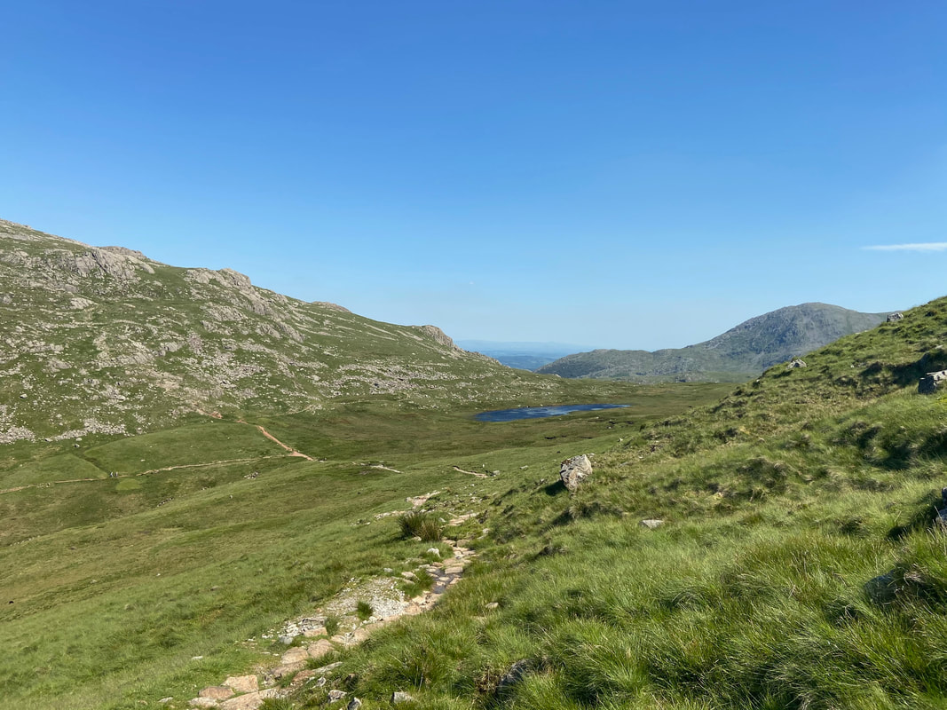
Descending to Red Tarn which can be seen in the centre of shot. The slopes of Pike O'Blisco are to the left with Wetherlam to the right.
One of the loveliest views in Lakeland in my humble opinion - Great Knott, Crinkle Crags & Bowfell from near Brown Howe.
If you are up this way and you have not visited Great Knott then give it a go either to or from Crinkle Crags - the views from the summit are superb.
If you are up this way and you have not visited Great Knott then give it a go either to or from Crinkle Crags - the views from the summit are superb.
Looking into Oxendale from the Brown Howe descent with the Langdale Pikes providing the perfect backdrop
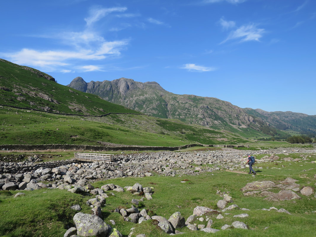
Approaching the footbridge over Oxendale Beck looking to the Langdale Pikes
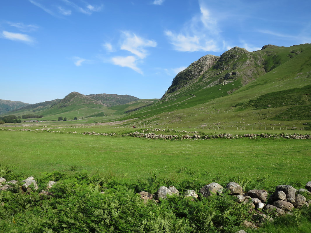
Approaching Stool End along Oxendale looking to Lingmoor Fell, Side Pike & Kettle Crag
Side Pike & Lingmoor Fell from near Stool End Farm
