Lank Rigg, Crag Fell & Grike Linear - Thursday 1 April 2021
Route
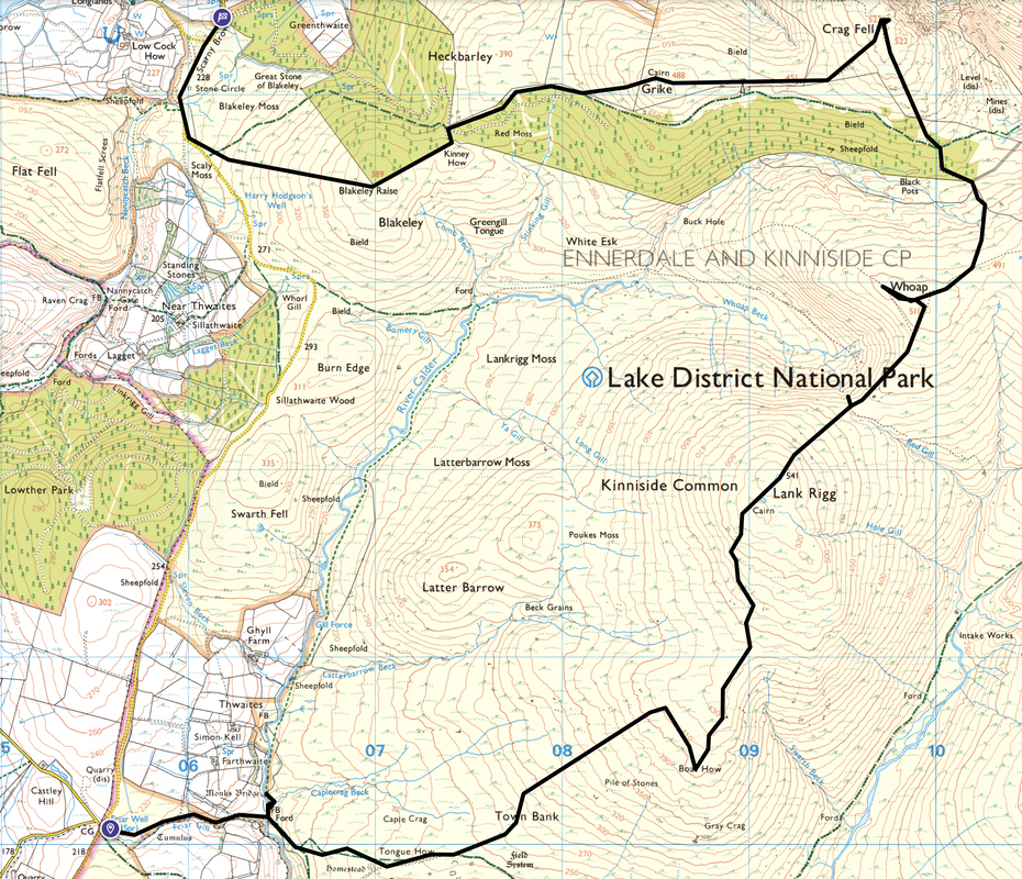
Coldfell Gate - Friars Gill - Monk's Bridge (Matty Benn's Bridge) - Tongue How - Boat How - Lank Rigg - Whoap - Crag Fell - Grike - Blakeley Raise - Scaly Moss - Scarny Brow
Parking
Roadside parking (Free) at Coldfell Gate where there is room for several cars. The start is on the Ennerdale Bridge to Calder Bridge road at Grid Reference NY 05552 10092 and the nearest postcode is CA22 2PE. We parked a second car at Scarny Brow just above the village of Ennerdale Bridge at Grid Reference NY 06181 14407, nearest postcode is CA23 3AH.
Mileage
9.5 miles
Terrain
Good mountain paths for most of this walk although the path between Tongue How and Lank Rigg is very intermittent. In mist and poor visibility, the ability to navigate over pathless terrain is considered essential for this walk.
Weather
After a sunny start the day remained overcast however the visibility was generally good apart from the final ascent to Lank Rigg.
Time Taken
5hrs 40mins
Total Ascent
2007ft (612m)
Wainwrights
3
Map
OL4 - The English Lakes (North Western Area)
Walkers
Dave, Angie & Fudge
|
GPX File
|
| ||
If the above GPX file fails to download or presents itself as an XML file once downloaded then please feel free to contact me and I will send you the GPX file via e-mail.
Route Map
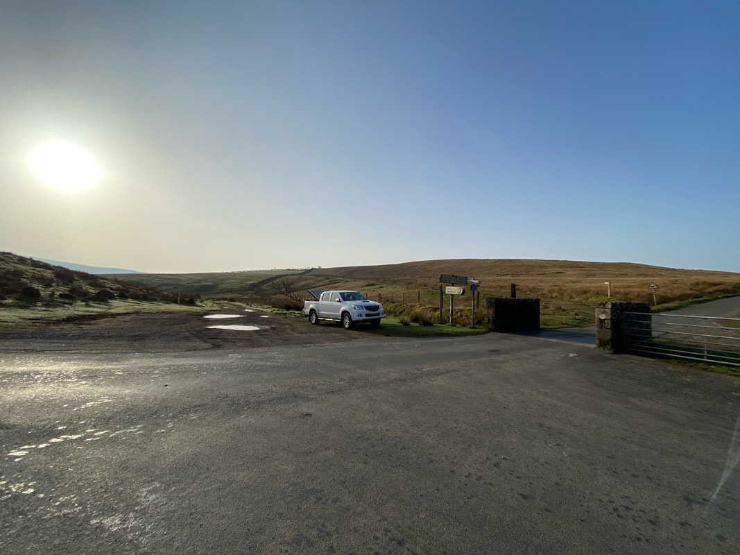
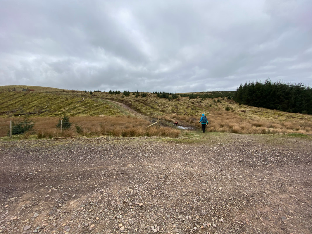
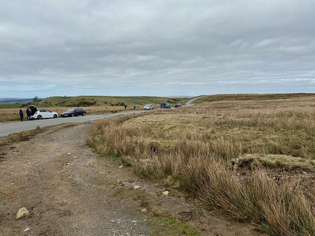
The walk started from the small parking area at Coldfell Gate on the Ennerdale to Calder Bridge road. We would be heading out via the path immediately behind our car.
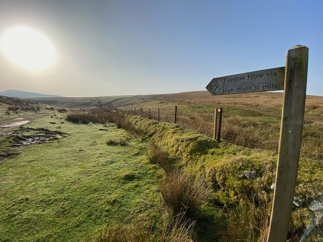
Tongue How would be our first climb today
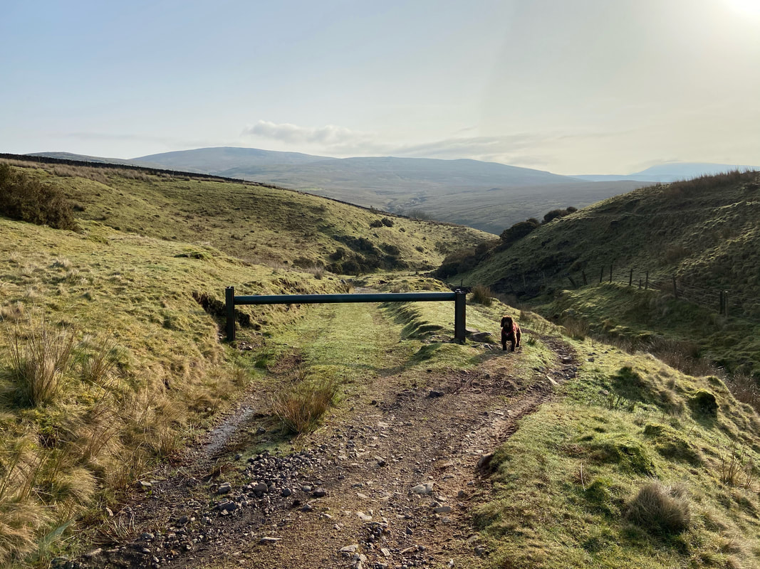
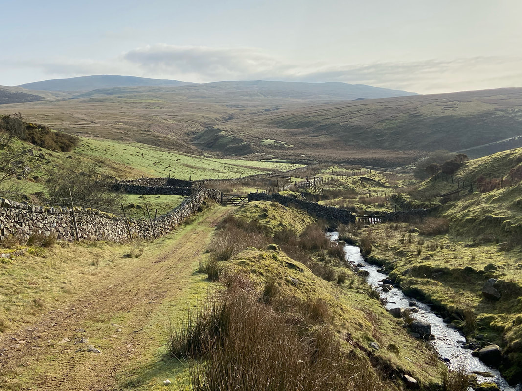
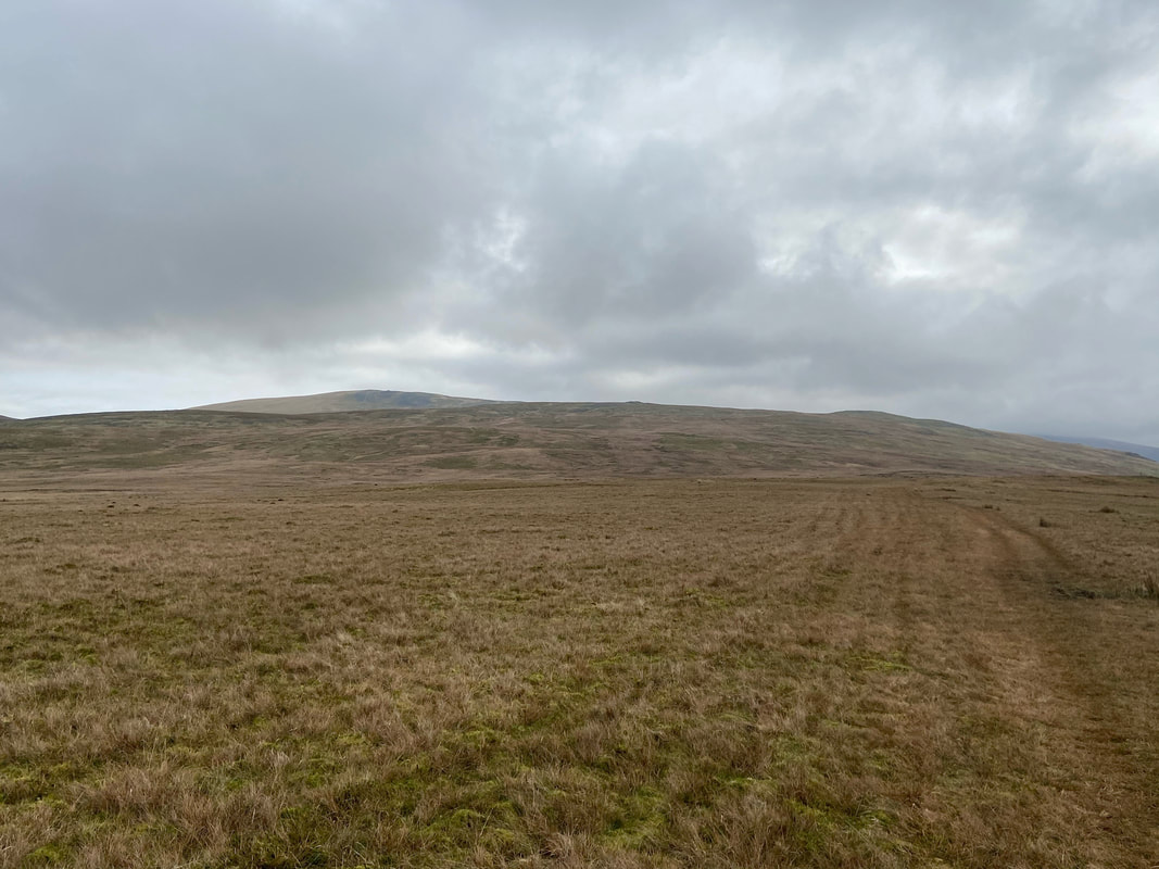
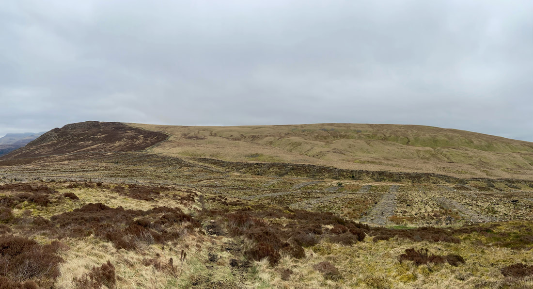
The first part of the walk was on a farm track and therefore the going was good. In the distance are Lank Rigg to the left and Boat How to the right.
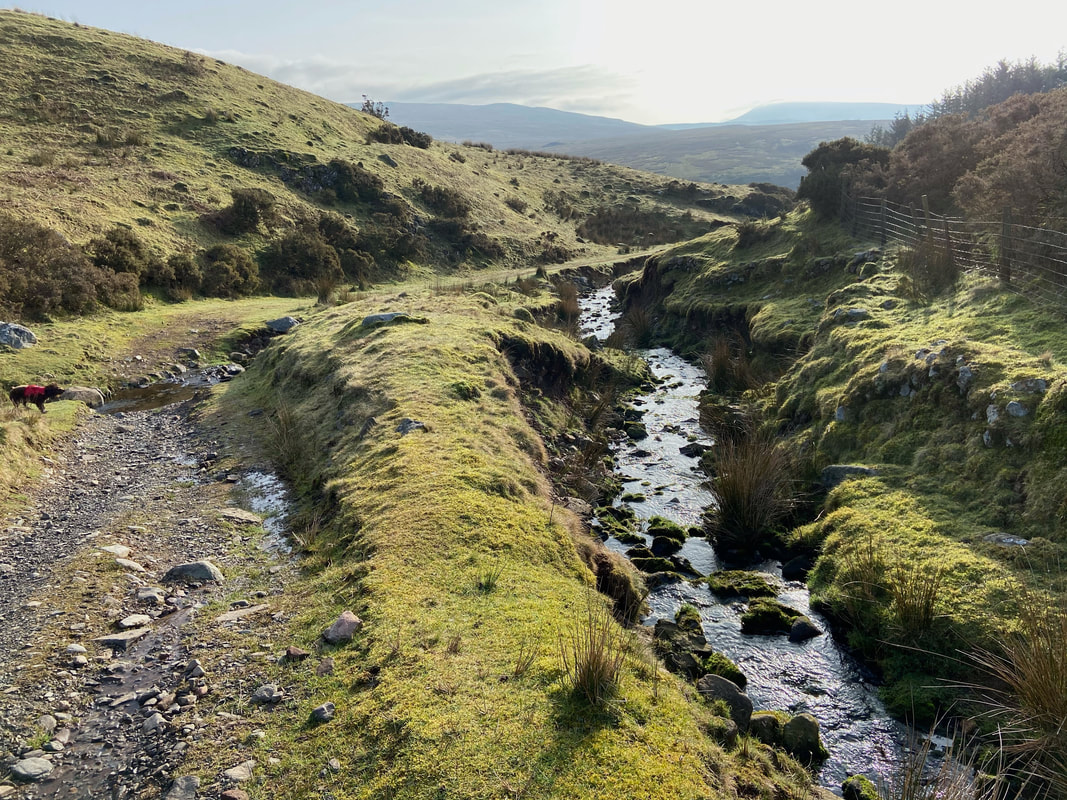
The track soon became a rough path as we hand railed Friar Gill
We soon arrived at several sheepfolds to pass through a couple of farm gates
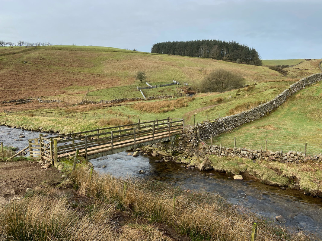
The modern footbridge adjacent to the ford that crosses the River Calder - our route from Coldfell Gate is to the right.
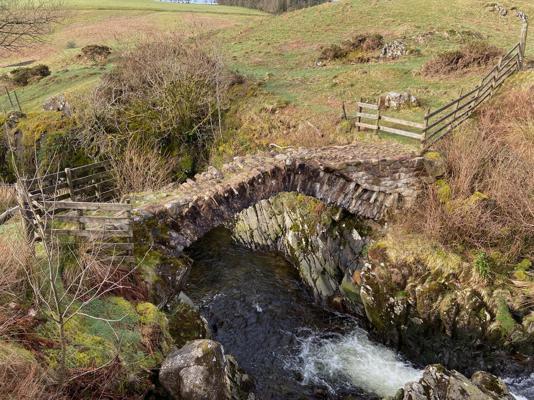
About 120 yards to the left is Monk's Bridge, known locally as "Matty Benn's Bridge". With a bit of research I discovered that Matty Benn was actually a woman called Martha Benn but was always known as "Matty". She was blind and her husband is said to have built the bridge which Matty would sit on the edge of, often knitting awaiting his return from hunting which he did regularly with John Peel. Later, the Monks of nearby Calder Abbey built up the side of the bridge a little for Matty's comfort with the stone left over from the monastery. The bridge is the oldest packhorse bridge in Cumbria and crosses Friar Gill where it passes through a narrow deep chasm and as well as foot traffic, iron ore would have been carried over it from Ennerdale to smithies on the fells to be smelted. The bridge cannot be crossed today as it is quite rightly blocked off in order to preserve its fragile state.
Wainwright said that "Matty Benn's Bridge was built hundreds of years ago by men who worked with their hands and is still there, a joy to behold and functional. But modern footbridges put across these western rivers too often perish with the storms. The tragedy of our age is that we are not ashamed" (Lank Rigg 3). Strangely enough, I agree with him.
Wainwright said that "Matty Benn's Bridge was built hundreds of years ago by men who worked with their hands and is still there, a joy to behold and functional. But modern footbridges put across these western rivers too often perish with the storms. The tragedy of our age is that we are not ashamed" (Lank Rigg 3). Strangely enough, I agree with him.
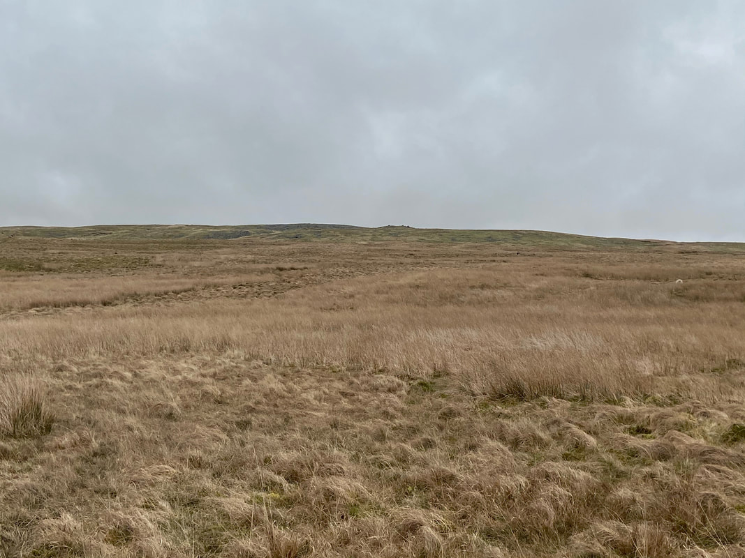
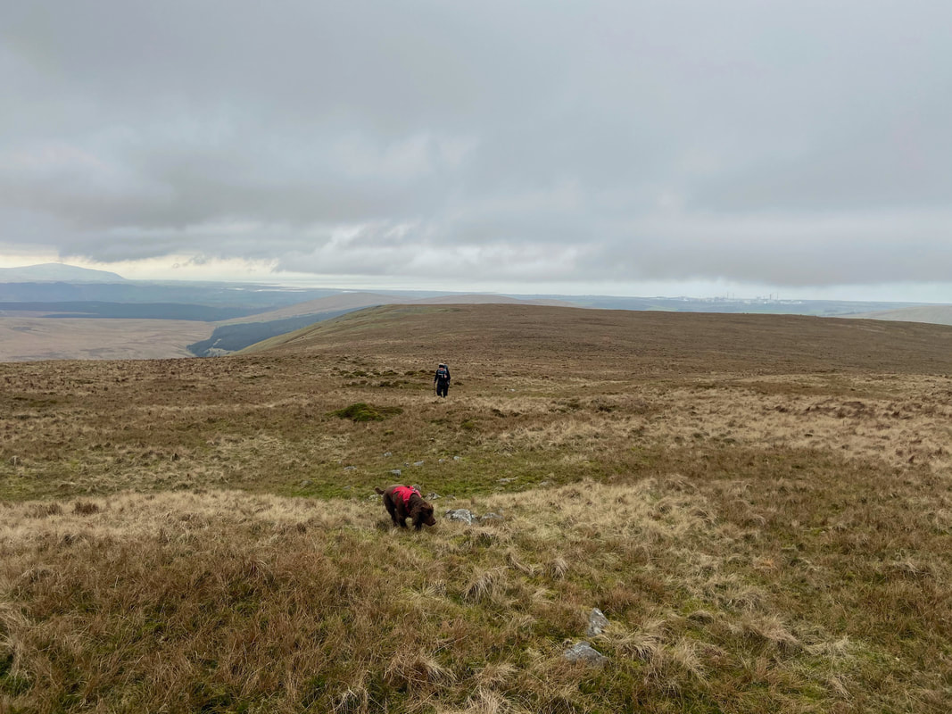
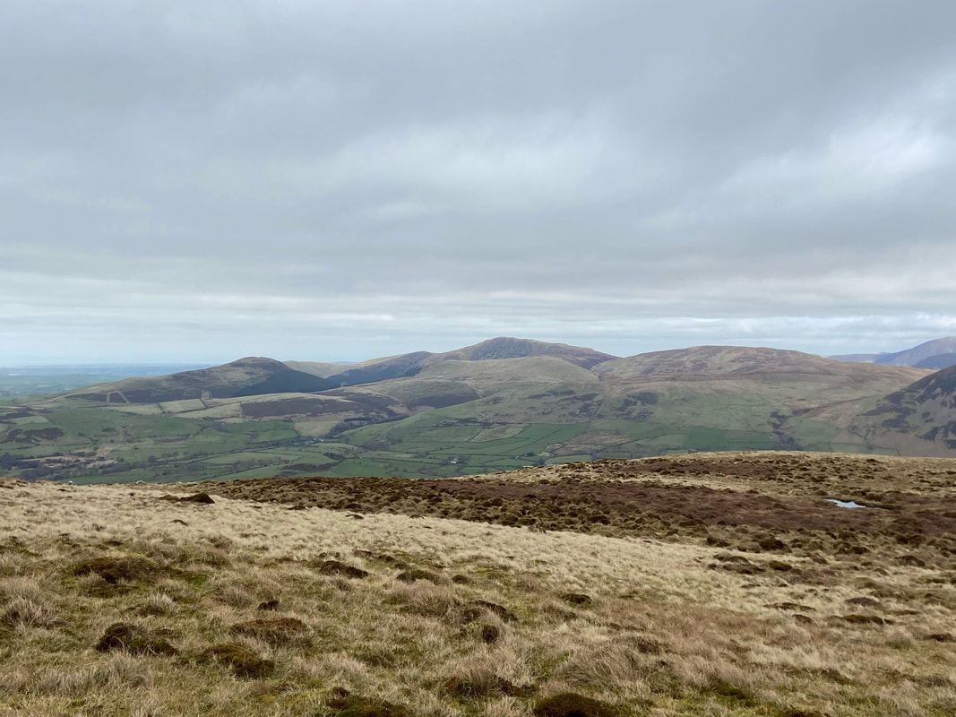
From the footbridge the walk really opens out and a vague path heads up to Tongue How which is on the far right. Up ahead is Boat How with Lank Rigg to the left.
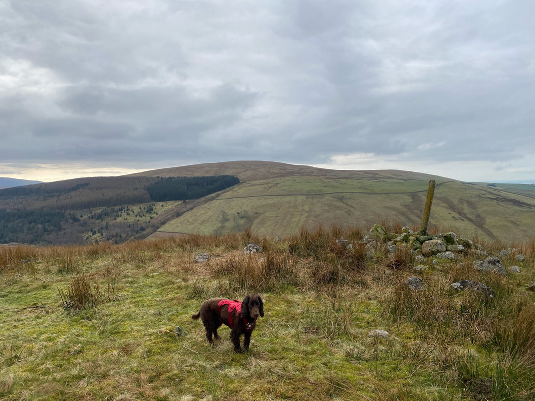
Fudge on the summit of Tongue How looking over to Swainson Knott
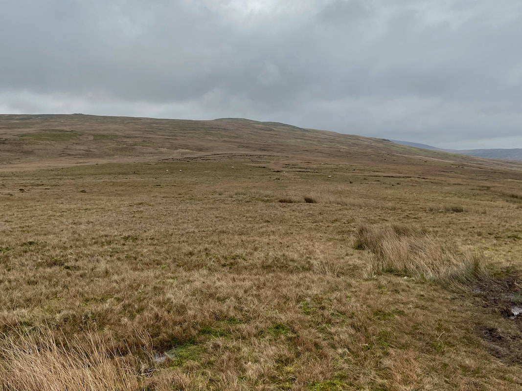
From Tongue How the path becomes intermittent as we head towards Boat How
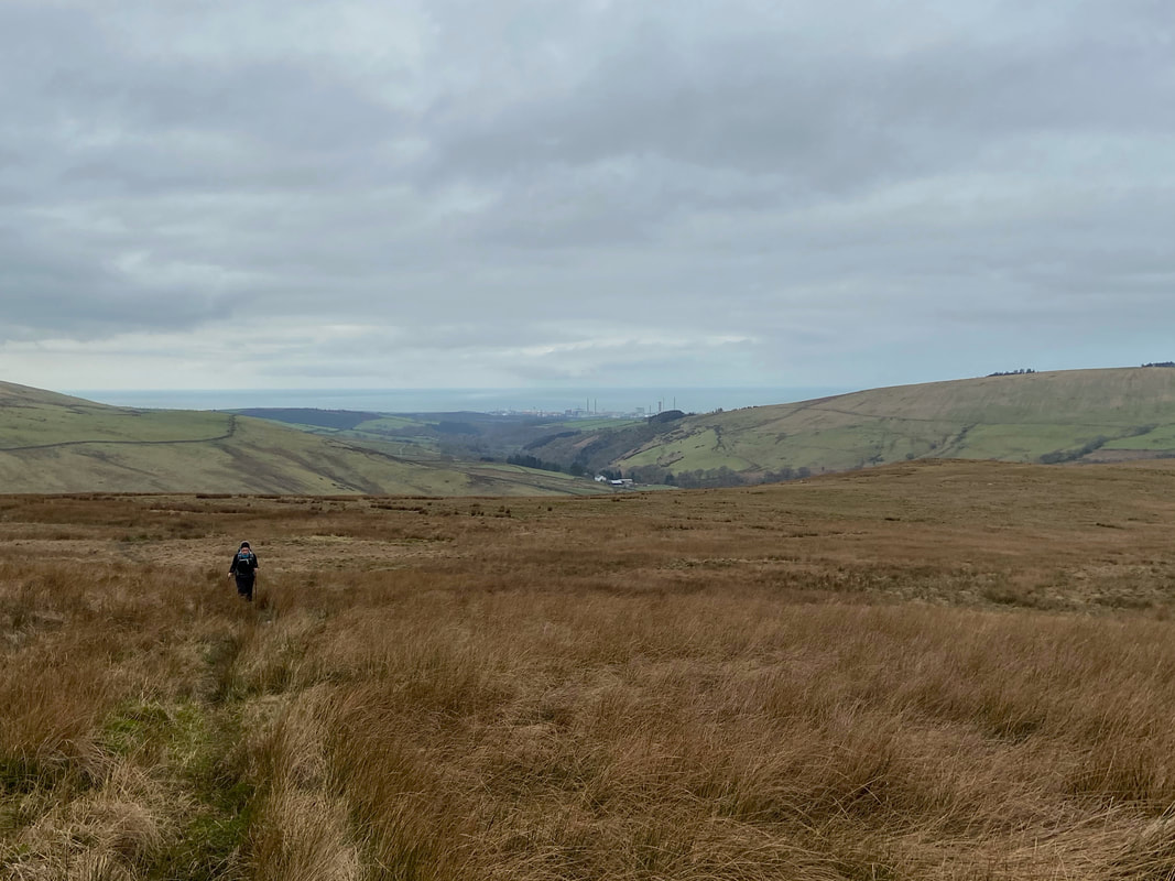
Following a path of sorts as we continue on to Boat How with Sellafield to the rear
The rocky top of Boat How was now in view
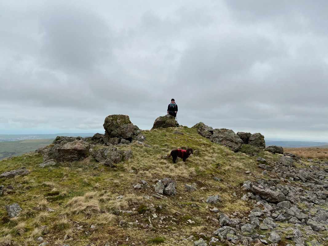
The summit of Boat How - my guess is that not many people visit this spot
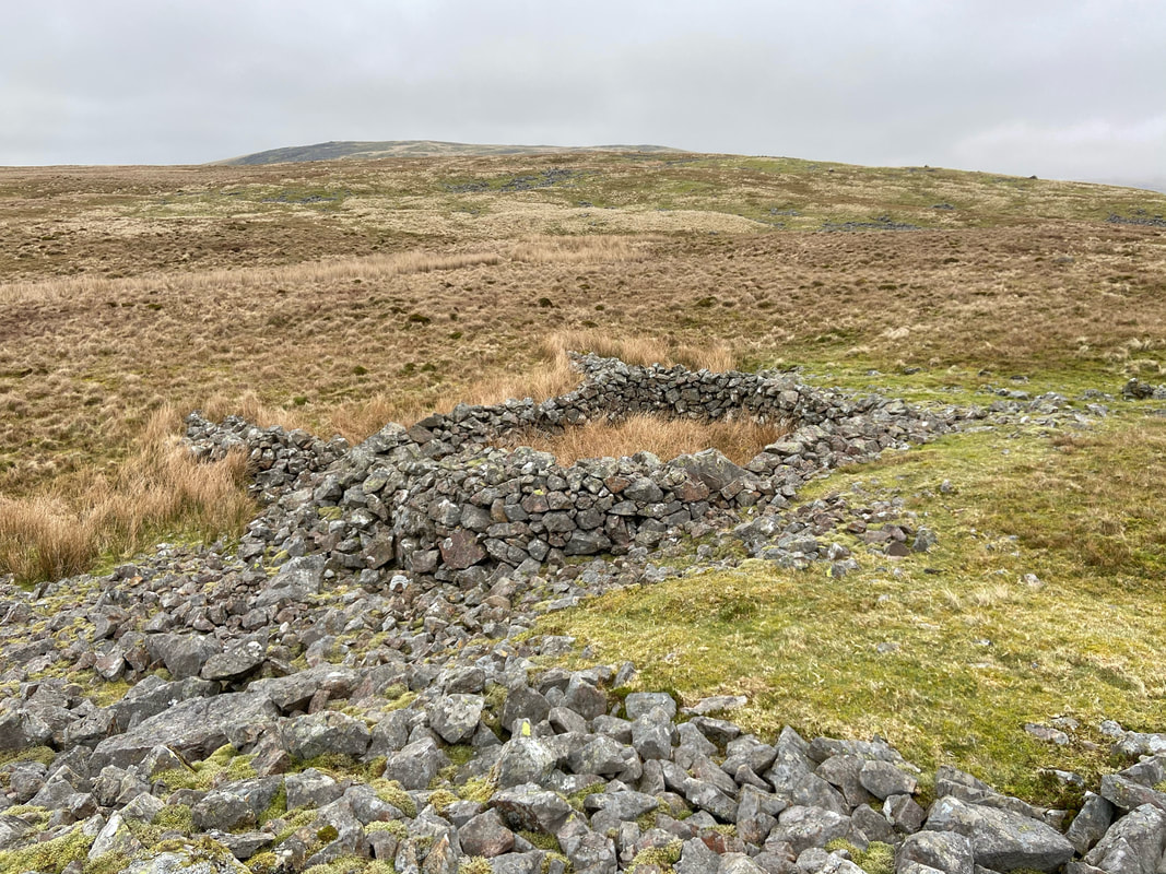
Just below Boat How is an old sheepfold with Lank Rigg on the horizon about a mile away
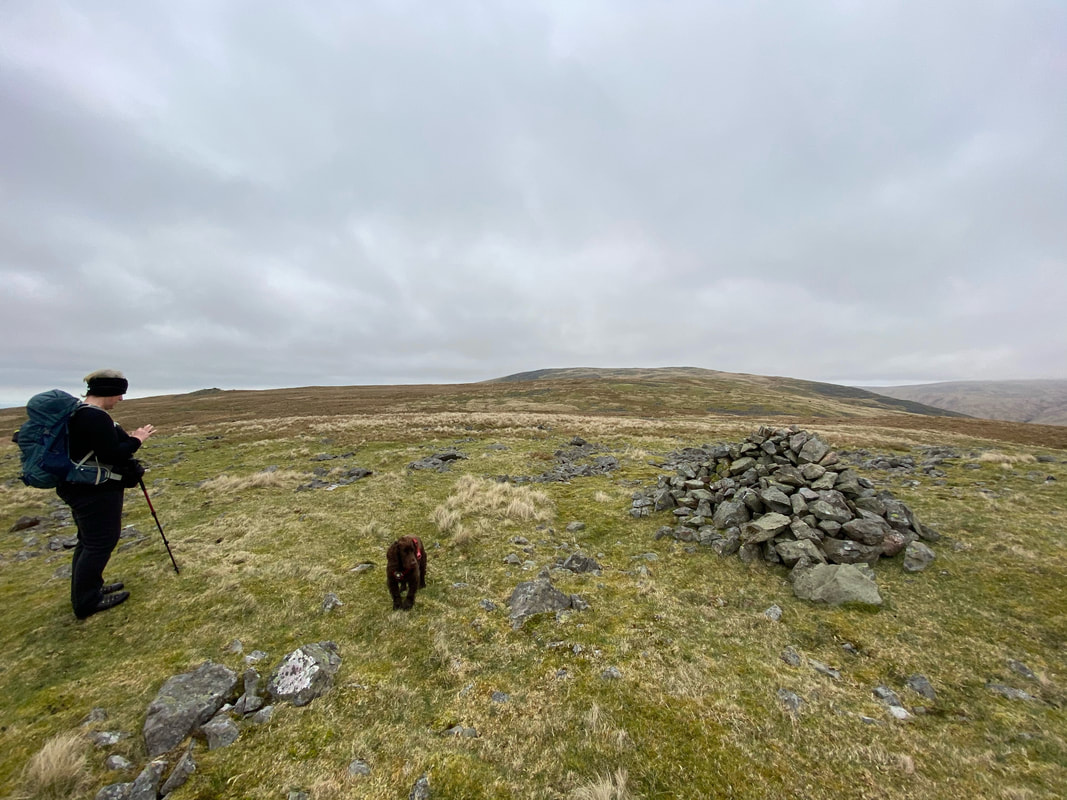
A little further on from the outcrop is a cairn. Angie checks on my Nav whilst Fudge thinks about his lunch.
Whilst a mile over pathless terrain might not be everybody's idea of fun, the walk today was rather pleasant. The going was good and surprisingly dry.
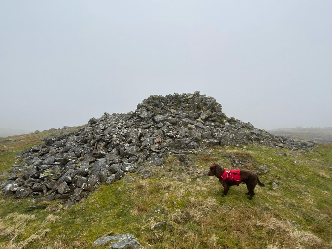
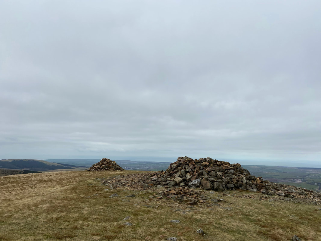
At the southern end of Lank Rigg's summit is a wind shelter - seeing that Lank Rigg is normally approached from the north west, it is my guess that this area is seldom visited.
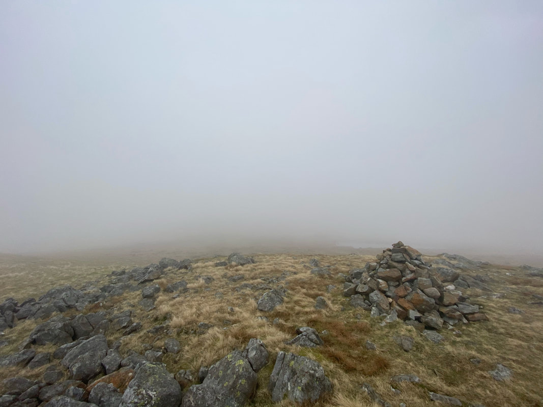
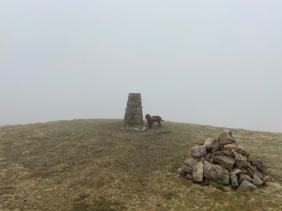
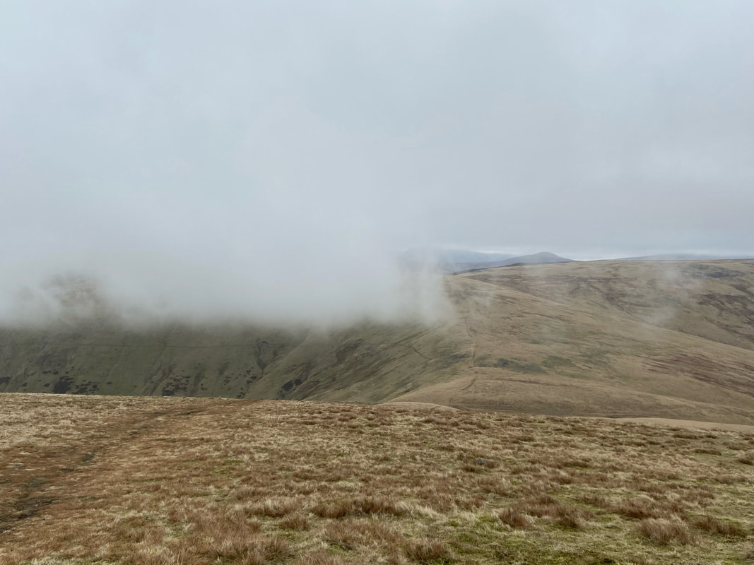
The south west cairn on Lank Rigg. As can be seen, we were joined now by a big load of misty clag.
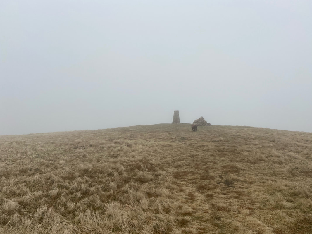
Approaching the summit of Lank Rigg - would we manage to find any treasure today I wonder??
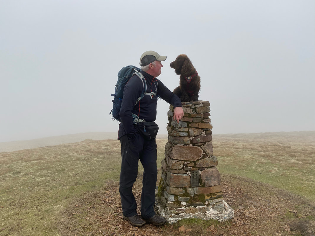
Fudge waits impatiently for me to lift him up on to the Trig Point on Lank Rigg
"Fancy a pint after the walk Fudgey boy?"
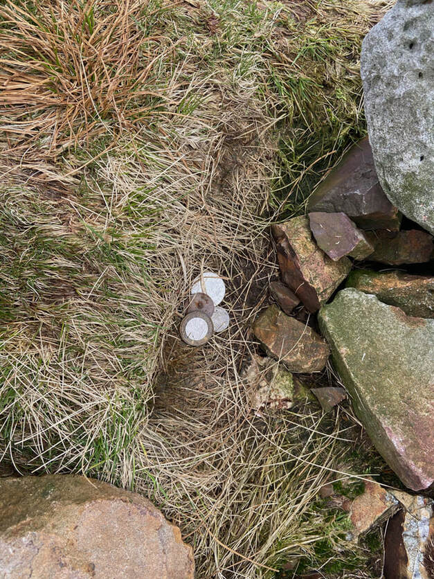
Buried Treasure on Lank Rigg - underneath several stones at the cairn can be found coinage of various age and denomination. The tradition stems from when Wainwright left a two shilling piece here in 1965. Wainwright explains the story on Lank Rigg 7:
"The only exciting experience in the lonely life of the Ordnance column occurred on a gloriously sunny day in April 1965, when it was a mute and astonished witness to an unparalleled act of generosity. In an uncharacteristic mood of magnanimity which he subsequently regretted, the author decided on this summit to share his hard-won royalties with one of his faithful readers and placed a two-shilling piece under a flat stone four feet from the column: it awaited the first person to read this note to write in c/o the publishers and confirm his claim by stating the year of the coin's issue. If nobody had done so by the end of 1966 the author intended to go back and retrieve it for the purchase of fish and chips. It is reported that the coin was recovered the day after publication, and it has become a tradition for visitors to the summit to leave a coin here for others to find."
"The only exciting experience in the lonely life of the Ordnance column occurred on a gloriously sunny day in April 1965, when it was a mute and astonished witness to an unparalleled act of generosity. In an uncharacteristic mood of magnanimity which he subsequently regretted, the author decided on this summit to share his hard-won royalties with one of his faithful readers and placed a two-shilling piece under a flat stone four feet from the column: it awaited the first person to read this note to write in c/o the publishers and confirm his claim by stating the year of the coin's issue. If nobody had done so by the end of 1966 the author intended to go back and retrieve it for the purchase of fish and chips. It is reported that the coin was recovered the day after publication, and it has become a tradition for visitors to the summit to leave a coin here for others to find."
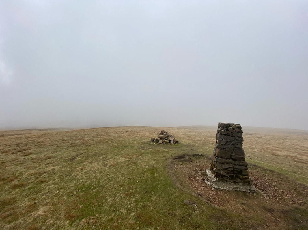
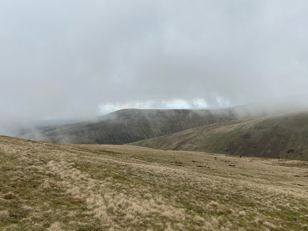
Looking to the south into a big load of nothing from the summit of Lank Rigg
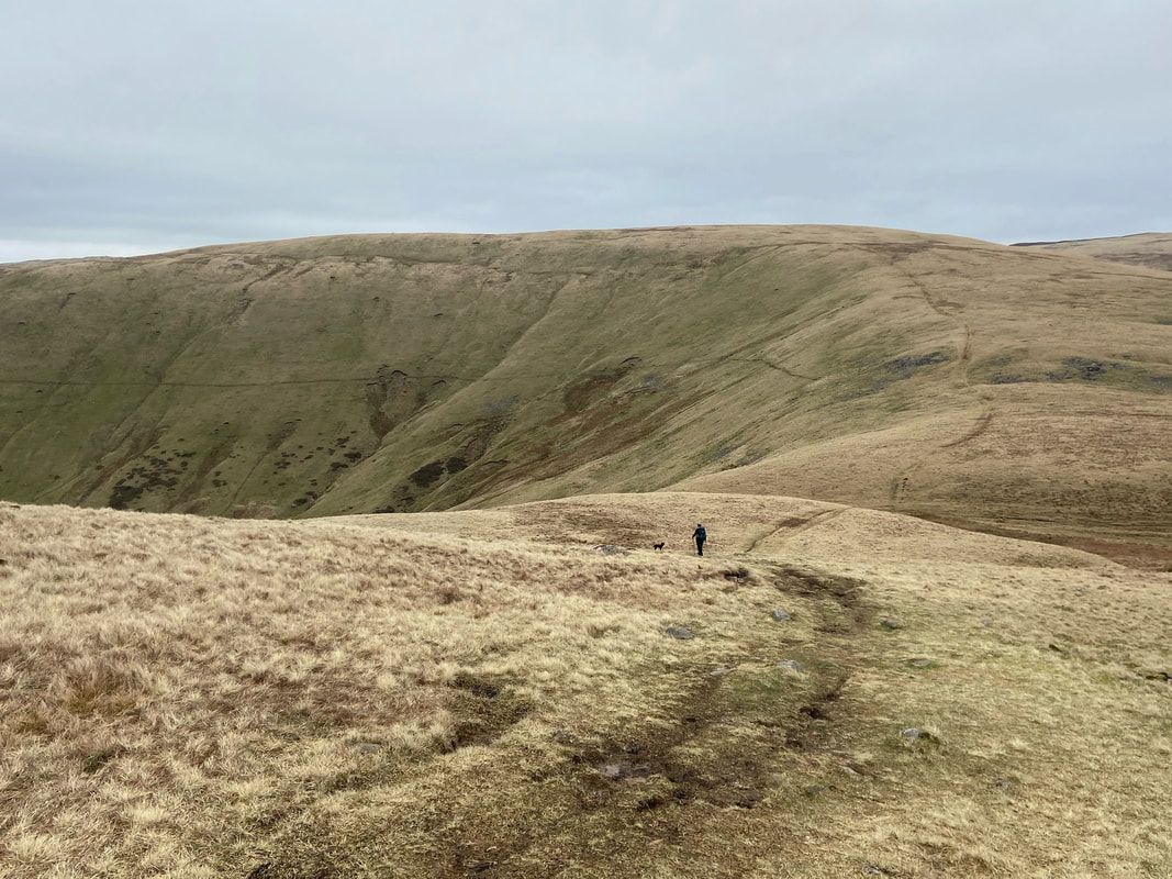
Descending to the col between Lank Rigg & Whoap - looks like the cloud is leaving us for now
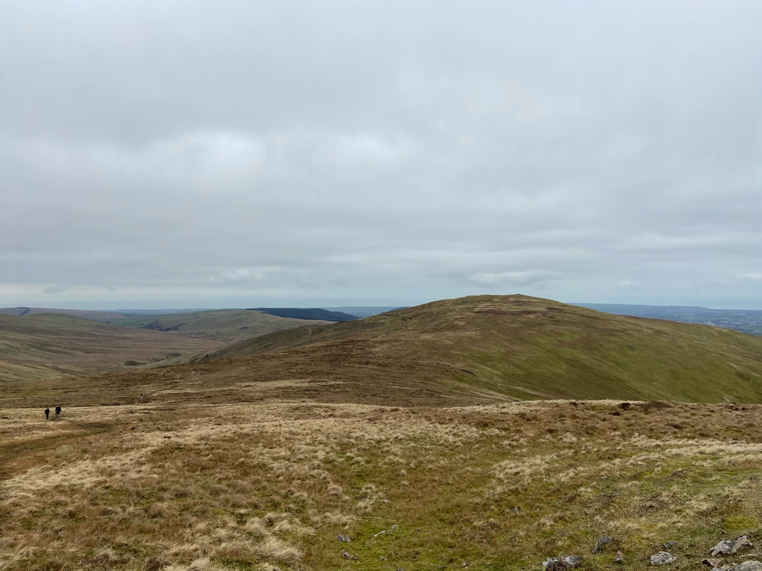
Grike in the distance with the slopes of Whoap to the right
Clearer now as we approach the col with the rising path to Whoap clearly seen ahead
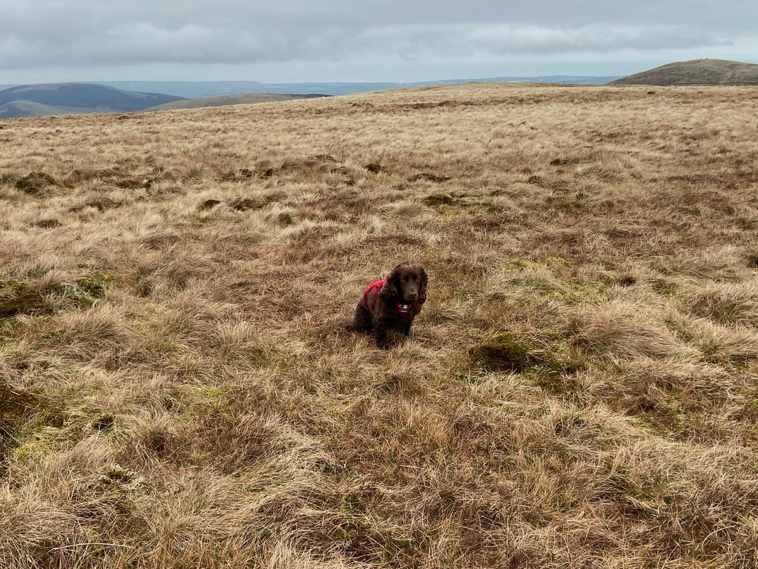
Fudge comes into his own once more as an unofficial "highest point of the fell" marker - this time on the summit of Whoap
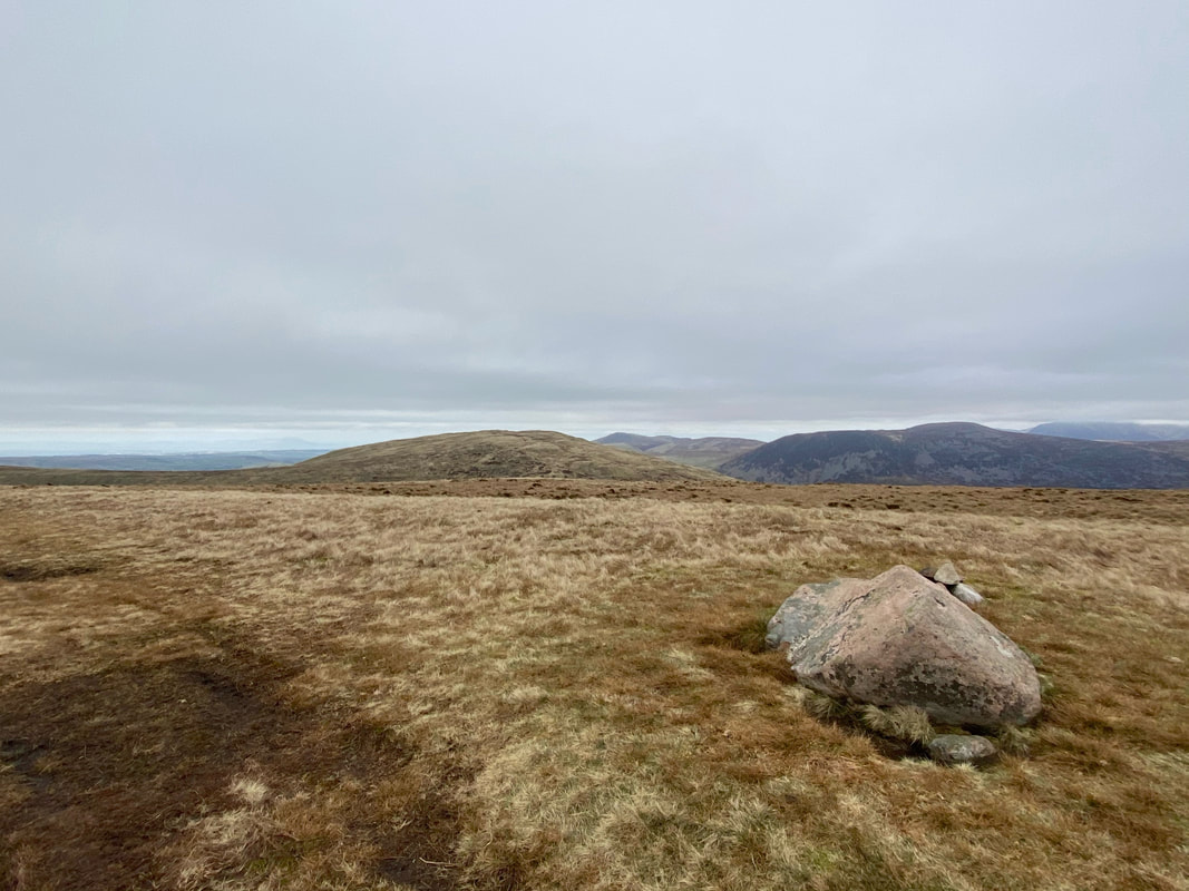
The white stone boulder situated a short distance from the highest point on Whoap. Our next summit of Crag Fell is in the distance with Herdus & Great Borne to the right.
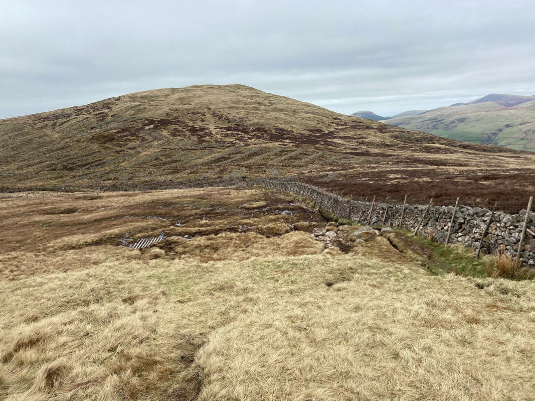
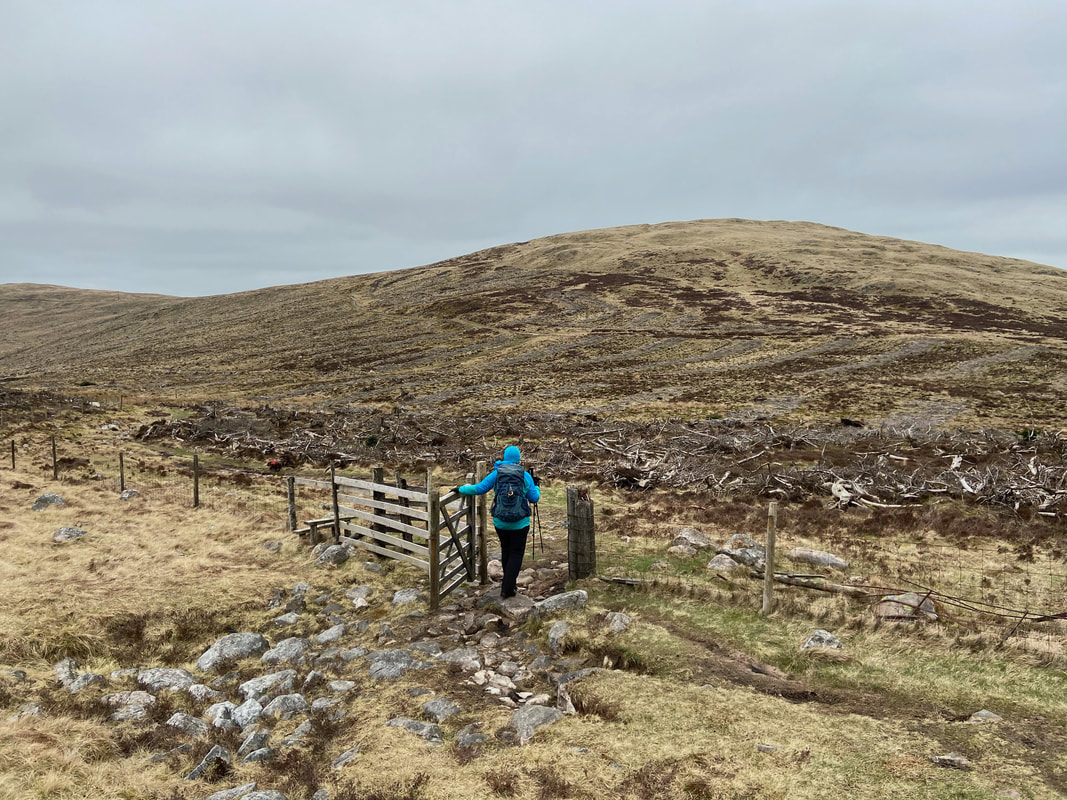
From Whoap the route joins the wall coming down from Iron Crag and leads to a gate
Where once were trees now remains a tangled mess. Up ahead is the old mine road below Crag Fell.
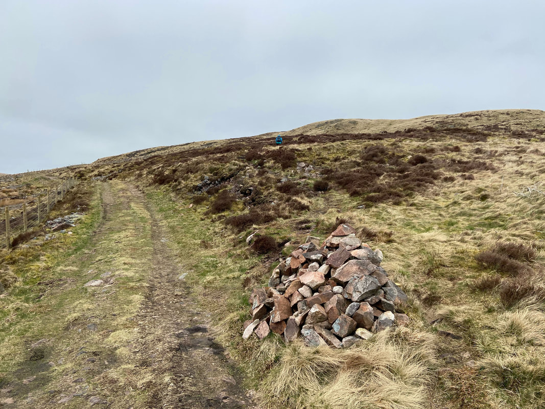
The old mine road below Crag Fell. The road starts at Scaly Moss near Ennerdale Bridge and led to the iron ore mine near Red Beck to the east of Crag Fell. The cairn here marks the path up to Crag Fell and despite its size is easily missed (I missed it a couple of walks ago!!) - the path leading from it to the right is indistinctive at first but soon becomes clearer as height is gained.
Looking back to Iron Crag on the left with Whoap to the right
Wait until I lift the pole up Fudge - it will be a lot easier!
The summit of Crag Fell
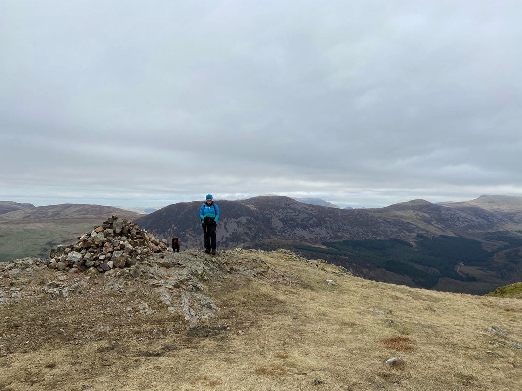
As can be seen from Angie's attire it was getting a bit nippy now as she poses with Fudge on Crag Fell's summit
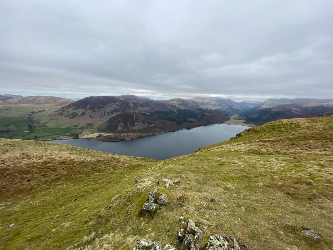
Walking a hundred yards or so to the south east from the summit gives you a fantastic view down Ennerdale Water
A decent path over a boggy depression leads to Grike
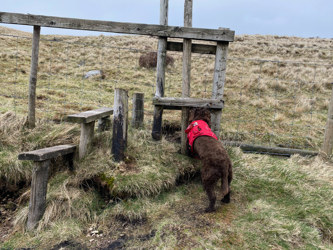
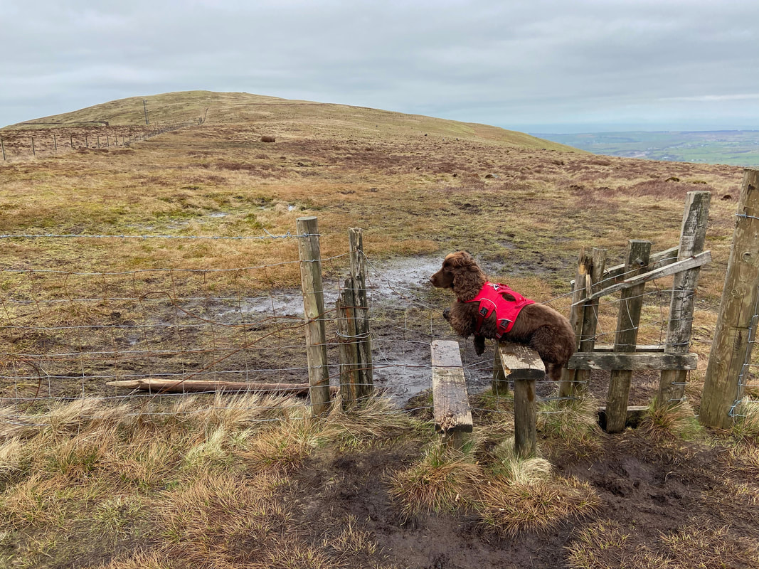
What on earth are you doing Fudge? To the right is a perfectly decent doggy gate.
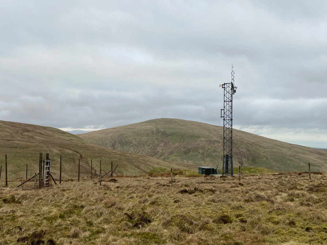
Looking to Lank Rigg over the top of an unsightly telecommunications mast
Knock Murton, The Pens, Burnbank Fell, Blake Fell & Gavel Fell from below Grike
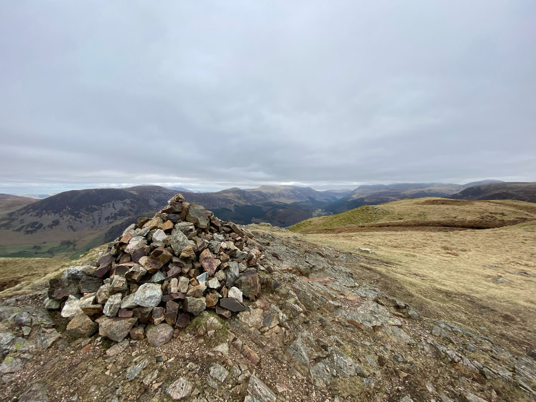
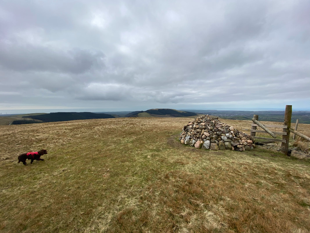
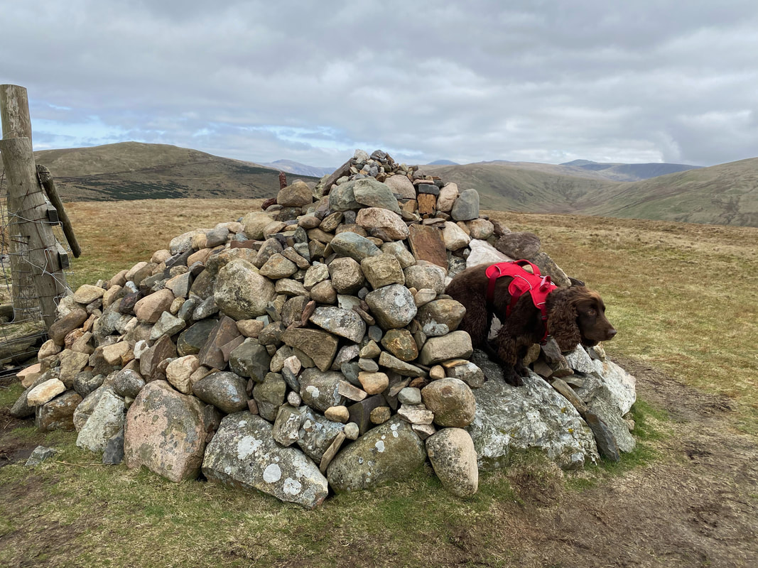
The cairn and wind shelter on the summit of Grike
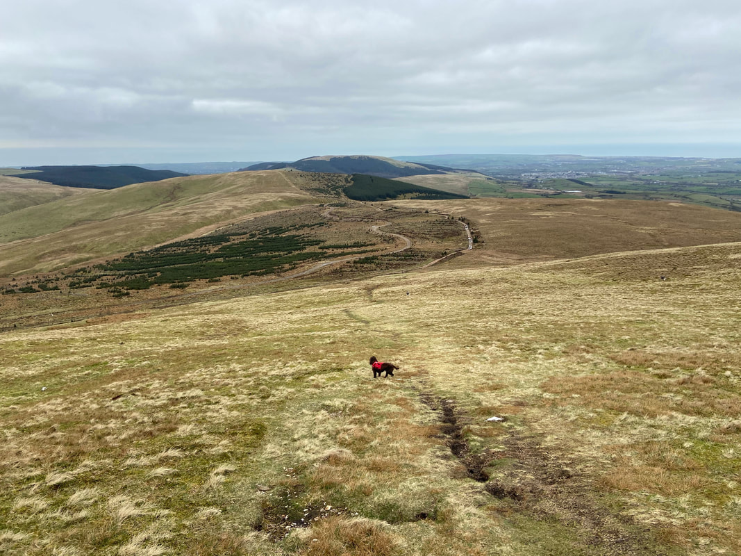
From Grike the route descends back to the old mine road
On the old mine road at Kinney How a path leads off to the left to reach a gate. Turning right through the gate leads to a delightful amble up to Blakeley Raise.
The summit of Blakeley Raise. Underneath the loose stone is a boulder known locally as "The Great Stone Of Blakeley". Wainwright was rather disparaging of it describing it as "nothing more than an ordinary large boulder at the angle of the fence" (Grike 4)
However Fudge thought the stone was worthy of its grand name as he prepares to swallow dive off it
A rough path leads down to the Cold Fell Road at Scaly Moss. Turning right leaves a simple 3/4 mile walk along the road to the parking area at the top of Scarny Brow.
