Kilnsey, Gurling Trough, Conistone Dib & Grassington - Sunday 26 September 2021
Route
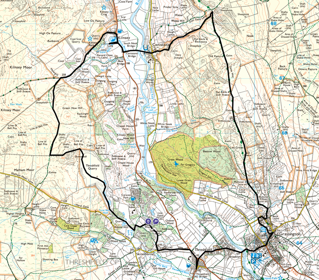
Long Ashes - Threshfield Quarry - Kilnsey - Conistone - Gurling Trough - Conistone Dib - Dales Way - Grassington - Threshfield - Long Ashes
Parking
We started from the door of our Caravan in Long Ashes however this walk can be started from Threshfield (Skirethornes Lane, BD23 5PH), Grassington (BD23 5AP) or Conistone (BD23 5HS).
Mileage
10.6 miles
Terrain
Good woodland, farm tracks and paths throughout with some road walking along quiet lanes. There is some mild scrambling through Gurling Trough & Conistone Dib.
Weather
AM - sunny, PM overcast. Light breezes and very good visibility.
Time Taken
4hrs
Total Ascent
1341ft (409m)
Map
OL2 - Yorkshire Dales (Southern & Western Areas)
Walkers
Dave, Angie & Fudge
|
GPX File
|
| ||
If the above GPX file fails to download or presents itself as an XML file once downloaded then please feel free to contact me and I will send you the GPX file via e-mail.
Route Map
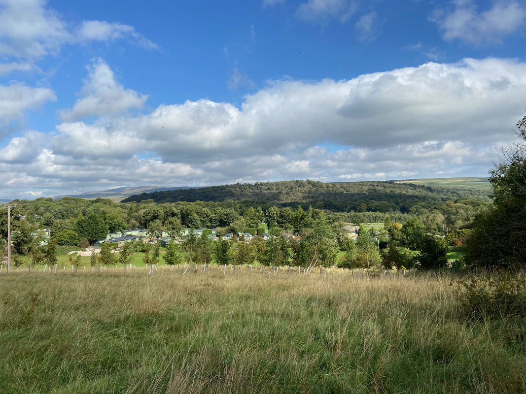
We were staying at Long Ashes Caravan Park and therefore started the walk from there.
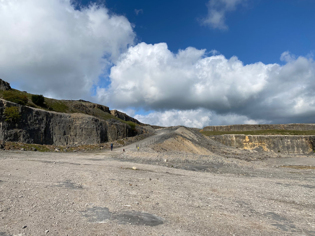
Threshfield Quarry ahead as we leave Long Ashes
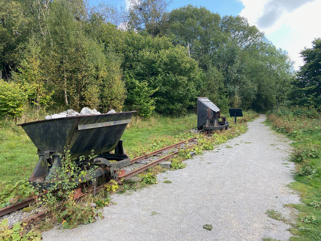
Prior to entering the quarry we passed a section of the railway line. The rail trucks were used to move the limestone out of the quarry.
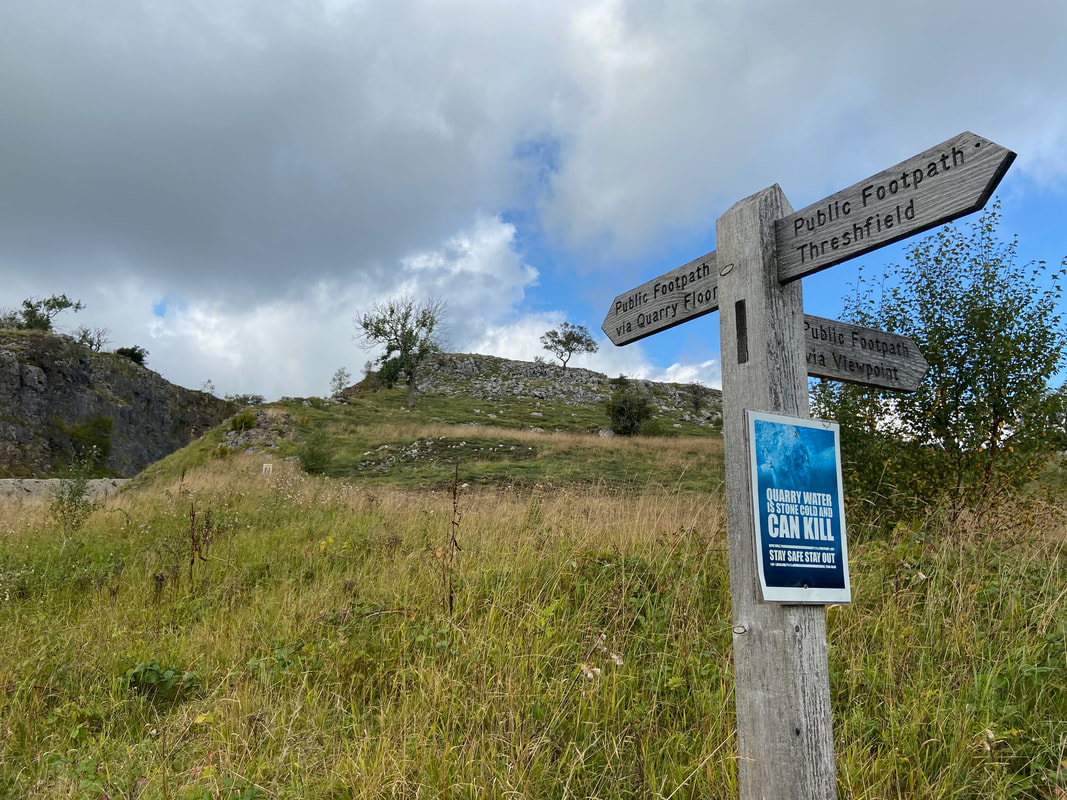
Arriving at the quarry there are two route options. One route makes its way to the right and stays high above the perimeter whilst the other heads straight along the quarry floor.
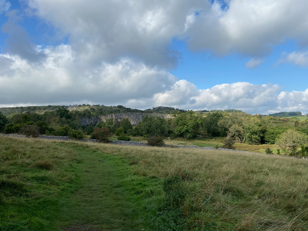
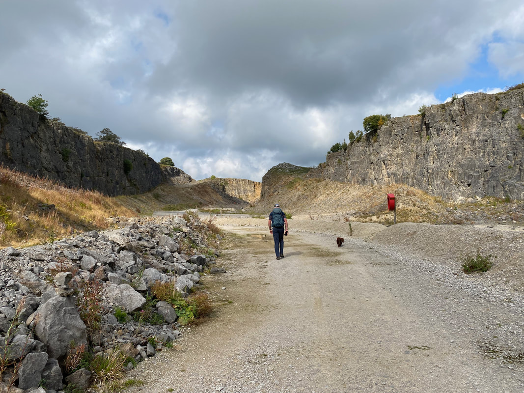
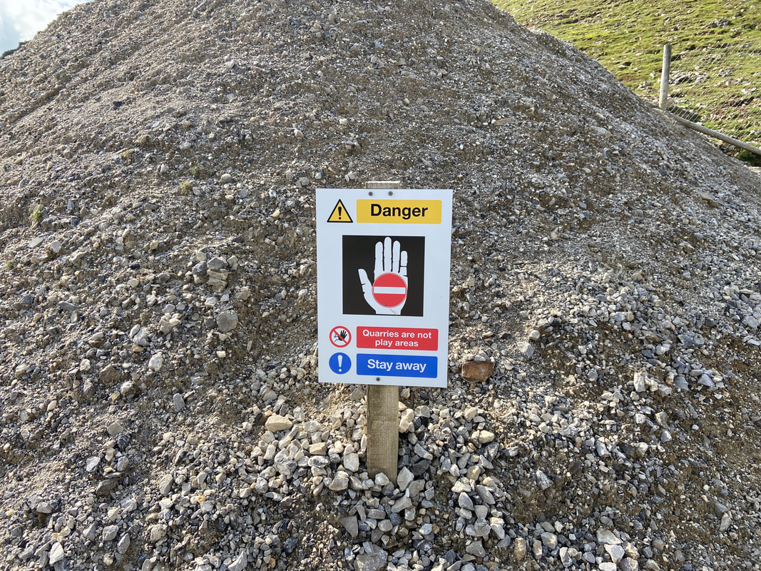
Heading through Threshfield Quarry. The area is owned by Tarmac with Limestone quarried here until 2000. Nowadays the quarry lies empty with its future development remaining unknown. In 2020 the quarry's "Blue Lagoon" had to be drained of water and the quarry closed for a while. This was because local youths were using the area to hold "Ibiza Style" gatherings during the Covid lockdown.
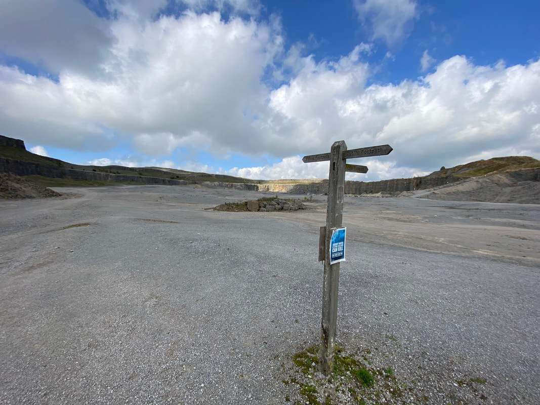
In the middle of the quarry floor there is the opportunity to carry on through the lower level or turn right up a ramp to walk along the upper perimeter as indicated by the signpost.
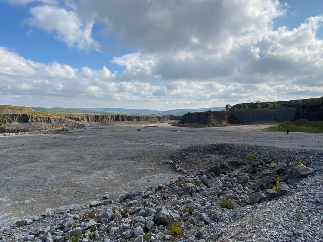
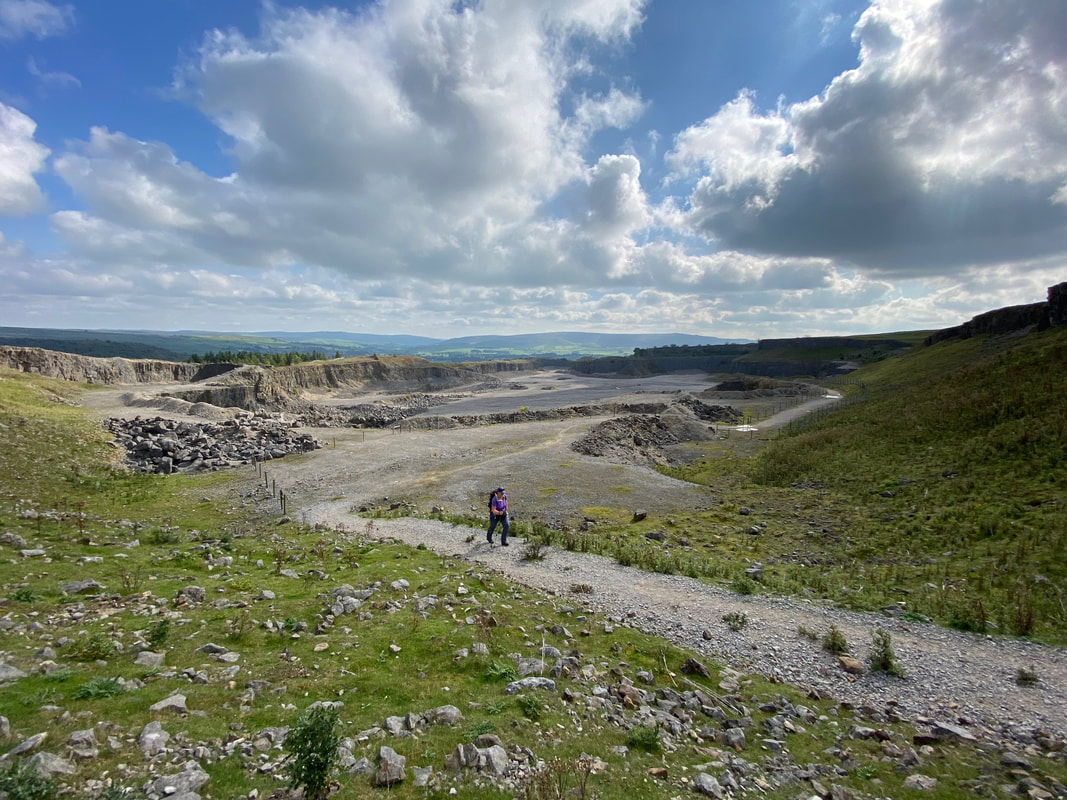
Looking back along the quarry floor from the northern exit ramp
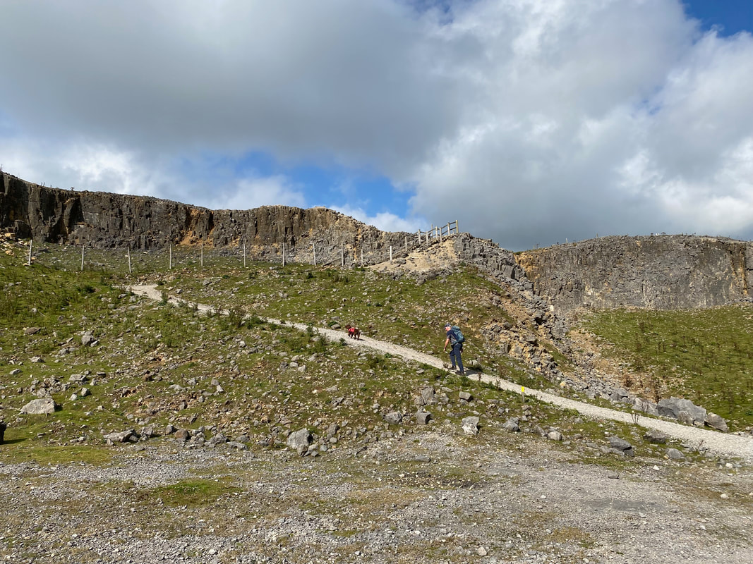
Leaving the quarry via the northern end exit ramp
Unless you want an "Ibiza Style" party - thankfully no sign of that today
The final steep incline up the exit ramp
A final look at the quarry as we head out towards Kilnsey Moor. It is bizarre that the quarry feels and appears as if the workers and the equipment only left yesterday.
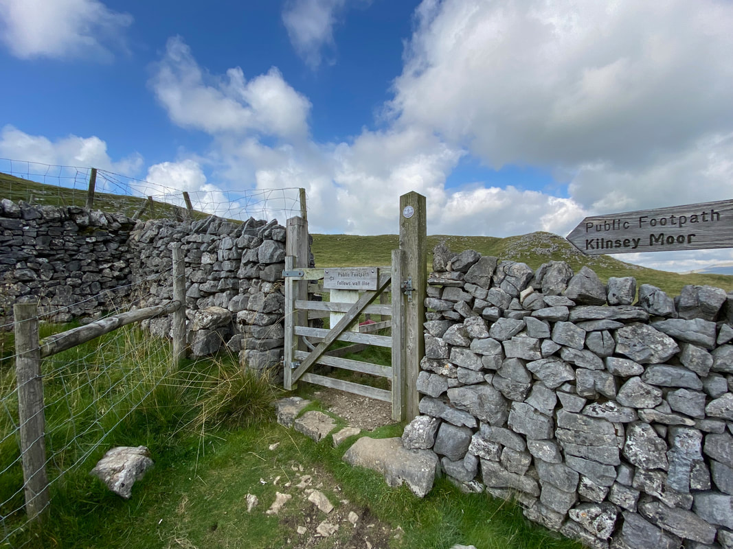
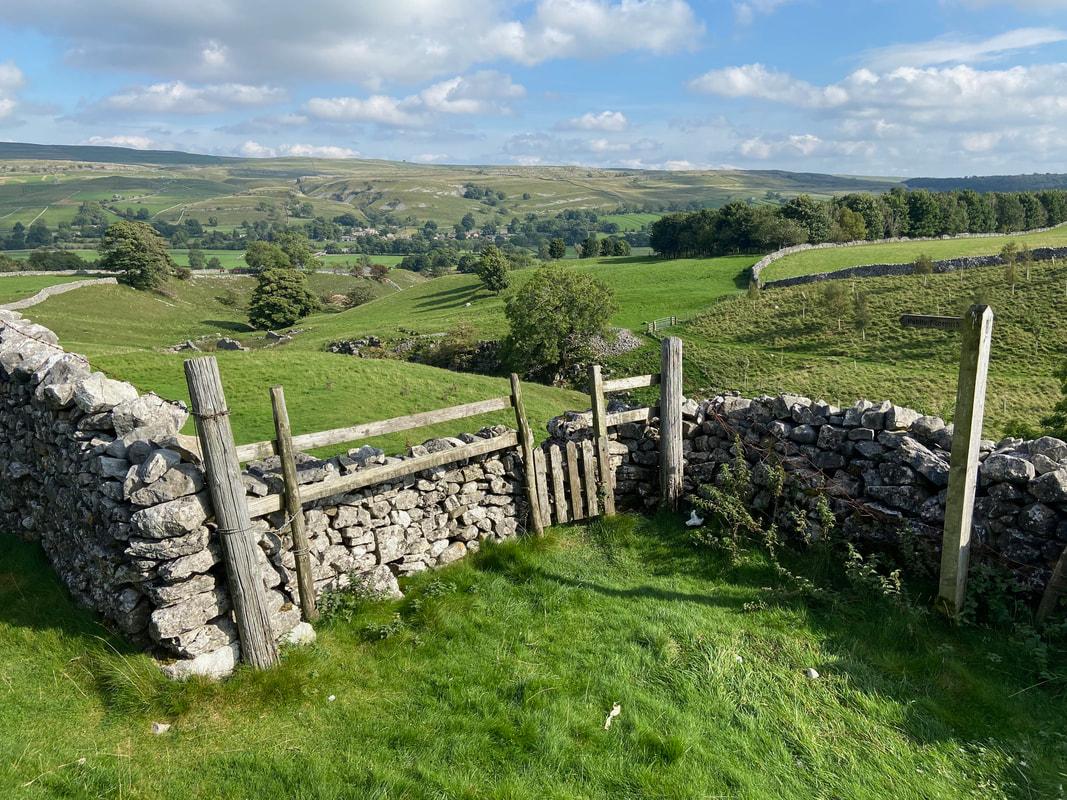
The route leaves the quarry via a hand gate on to Kilnsey Moor
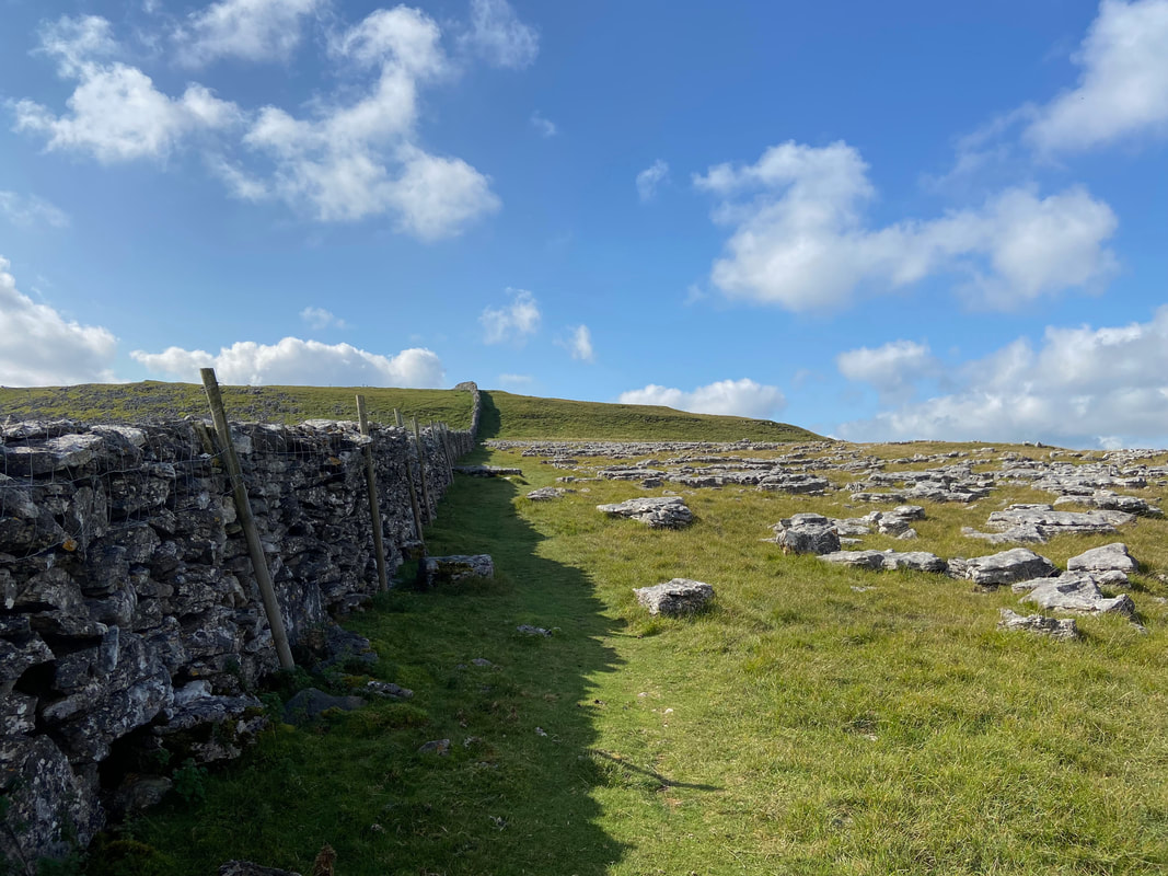
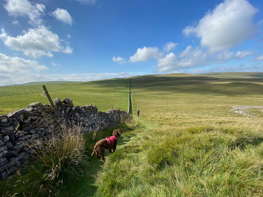
From the hand gate the route handrails a limestone wall on the left and heads gently uphill
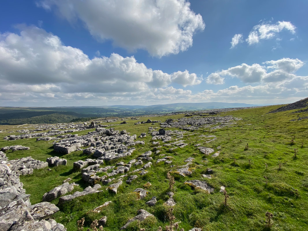
Limestone aplenty either side of the wall
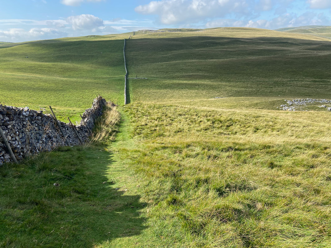
Continuing alongside the wall the path heads gently downhill to reach a shallow depression
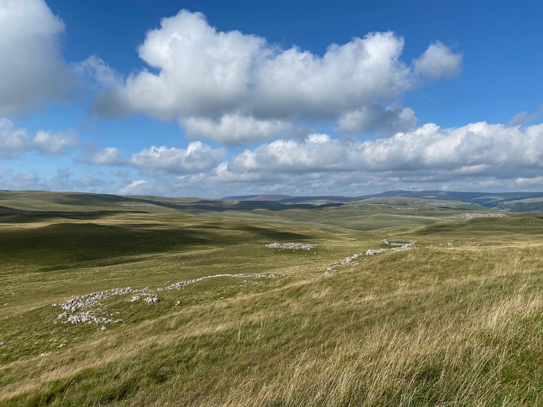
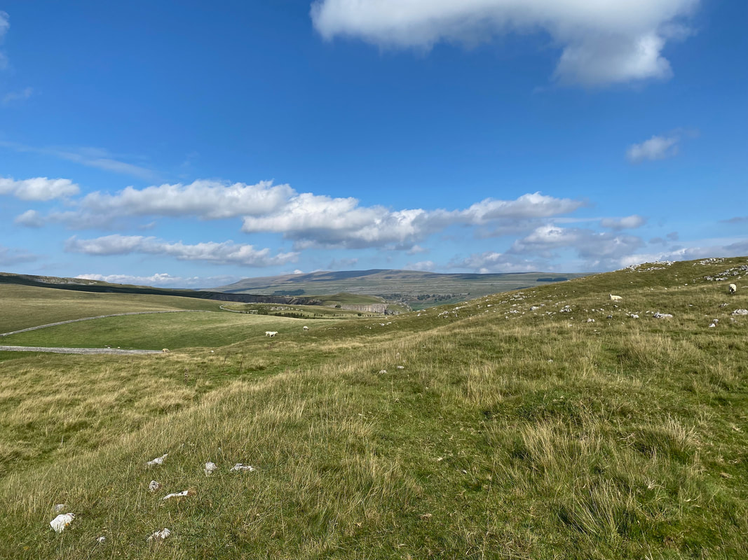
Looking over a big load of nothing towards Kilnsey
I think that sometimes Fudge just doesn't trust my navigational ability
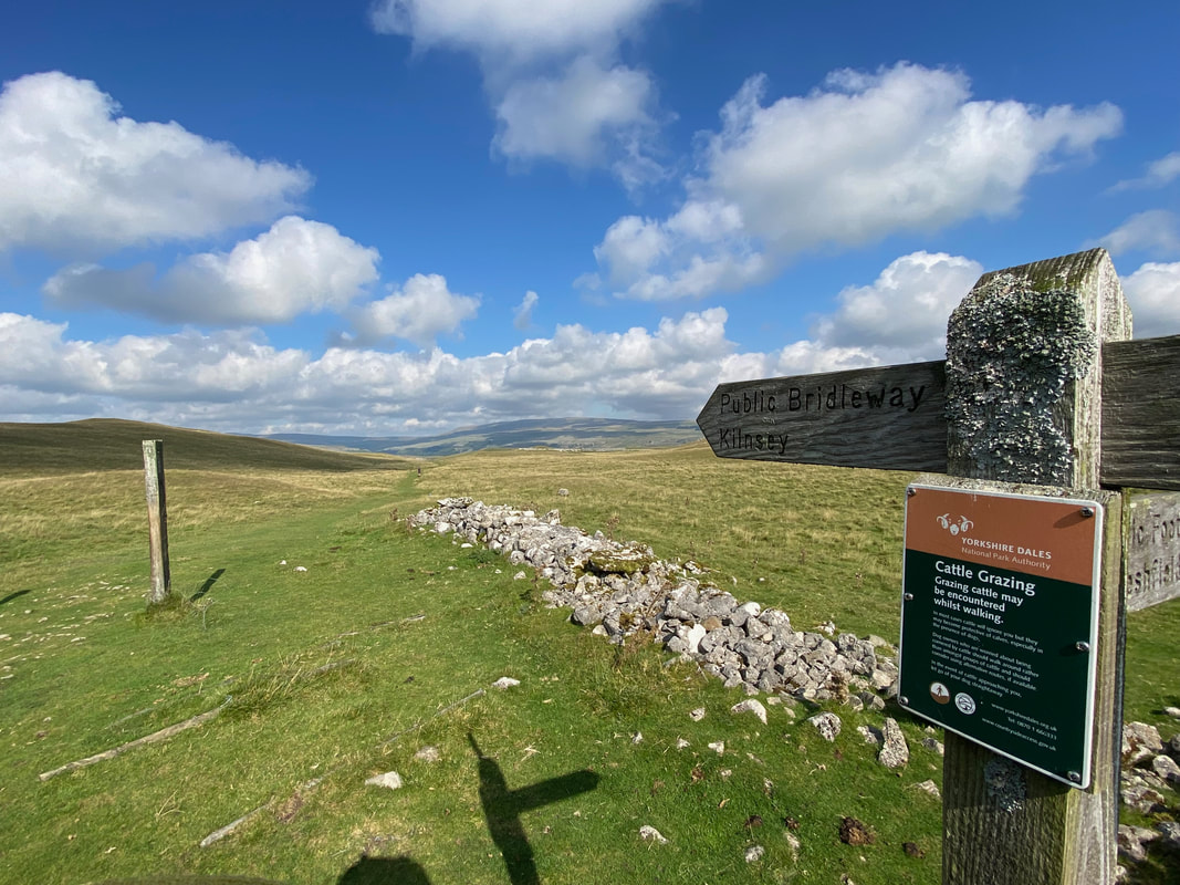
Reaching the shallow depression, a sign points the way to the right in the direction of Kilnsey
Fudge goes in goal as we have time for a quick game of football
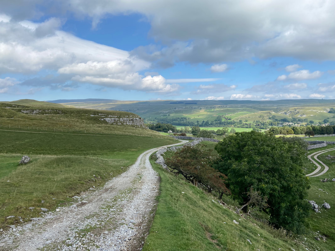
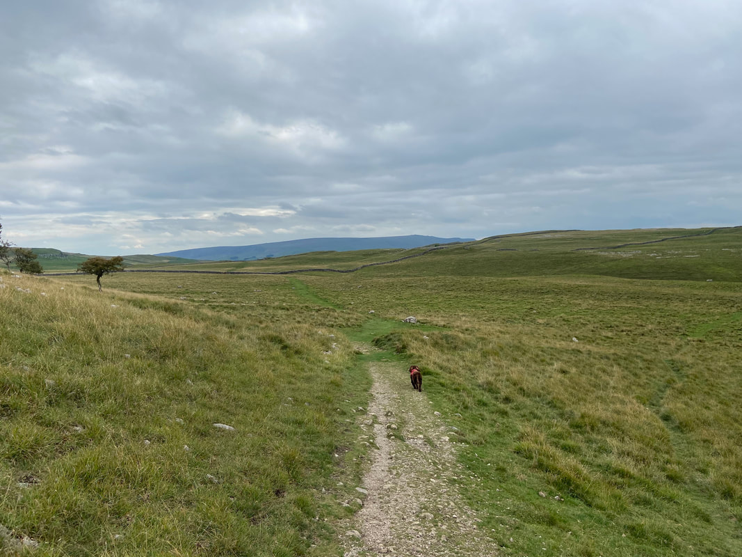
We were now walking over open moorland as we continue on towards Kilnsey
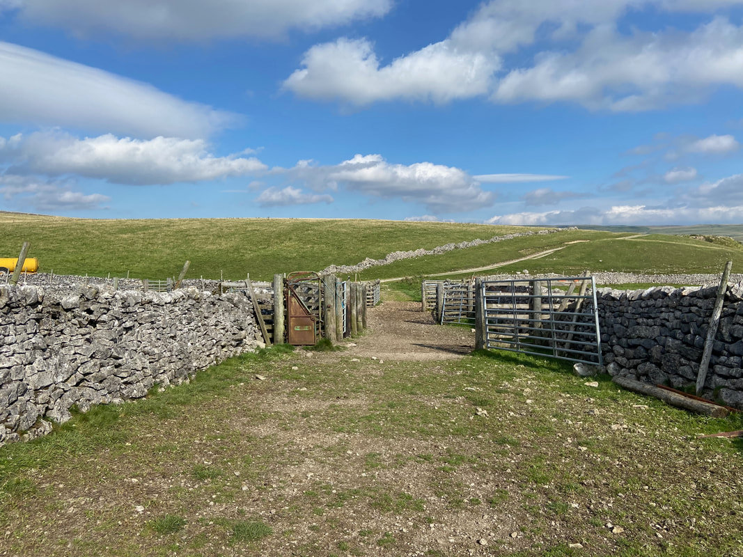
The route passes through a clearing area for sheep - thankfully the 6 or so gates were all open
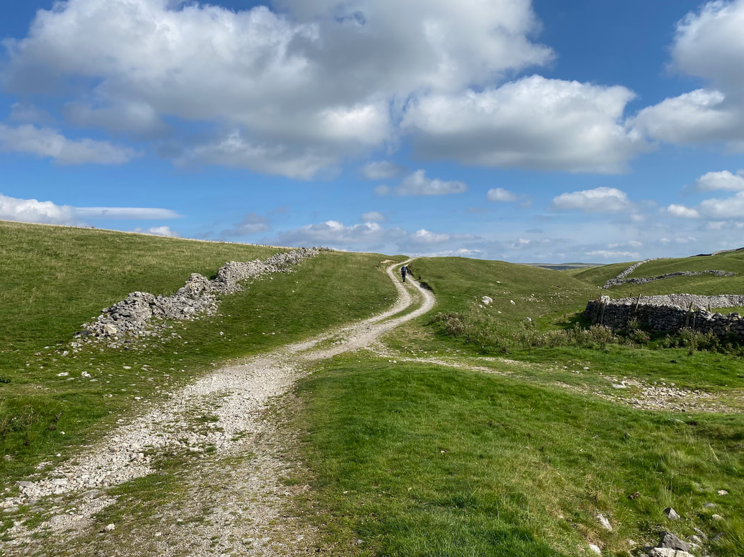
Once through the gates the route heads up a farm access track
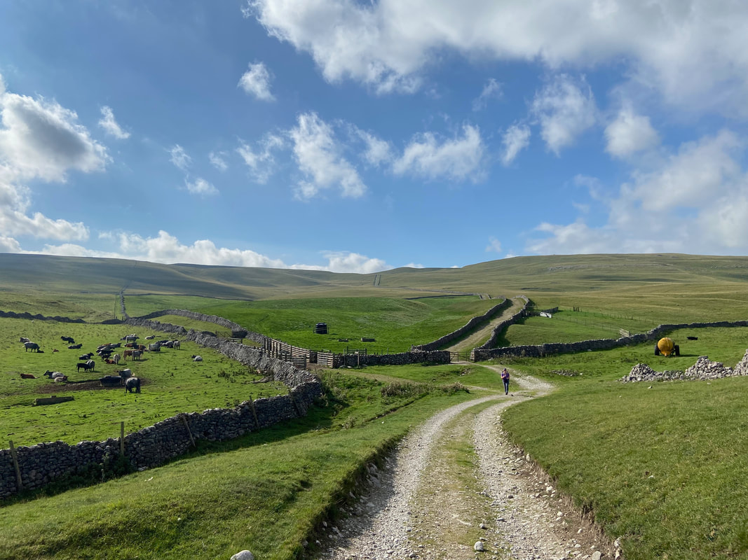
Looking back to the sheep clearing area from the farm track. The walled track behind Angie is Mastiles Lane and if followed leads to Street Gate near Malham Tarn.
Continuing along the farm track as we approach the village of Kilnsey
Just off the farm track is a small hand gate. This path leads to Bow Bridge near the turn off for Conistone and is at Grid Reference SD 96876 67283. If you do not wish to visit Kilnsey or the Cafe at Kilnsey Park Fishing Lakes then take this path.
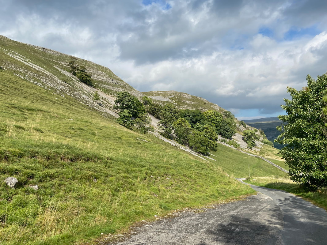
The farm track turns into a tarmac road just below the southern end of Kilnsey Crag
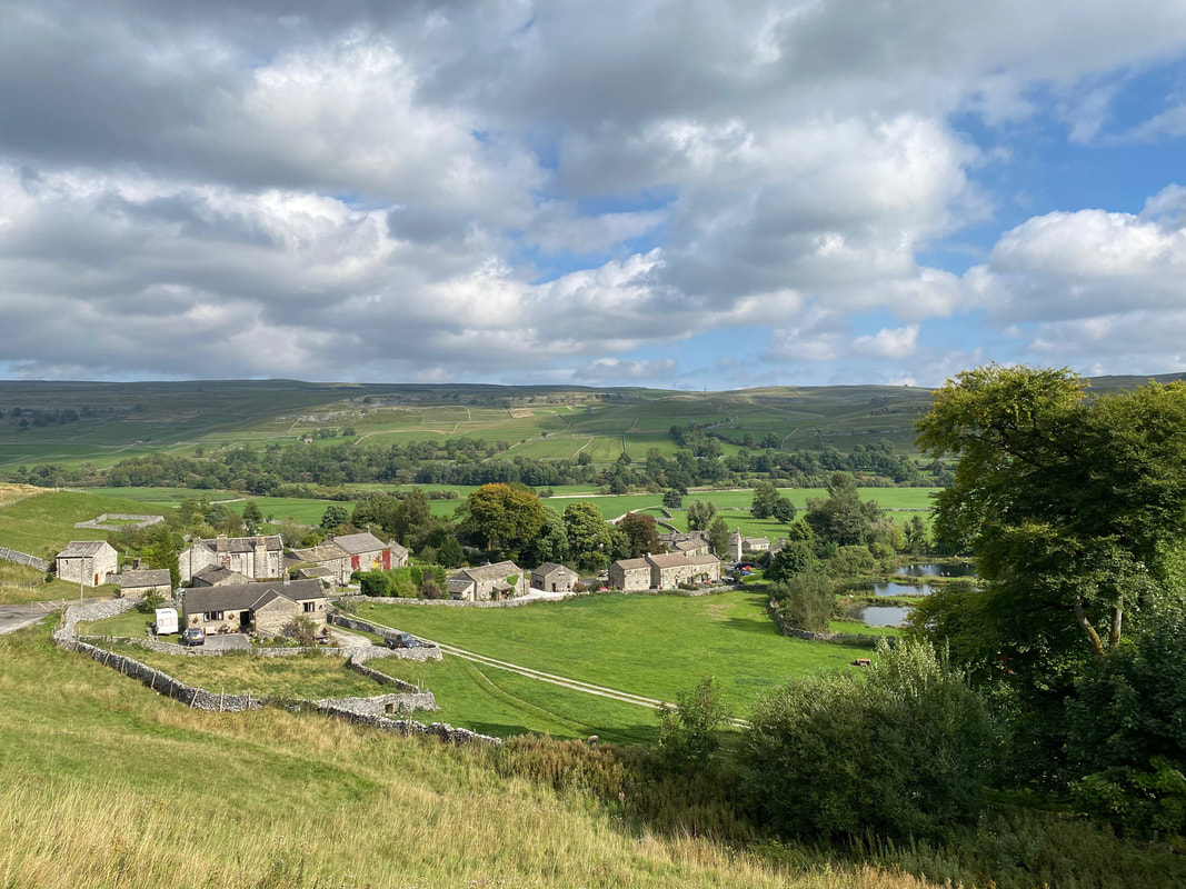
The village of Kilnsey
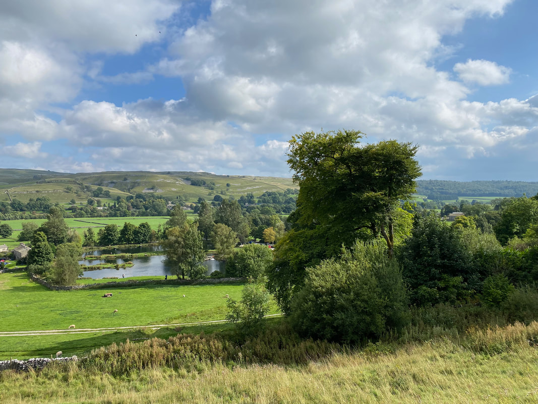
Kilnsey Park Fishing Lakes from the tarmac road
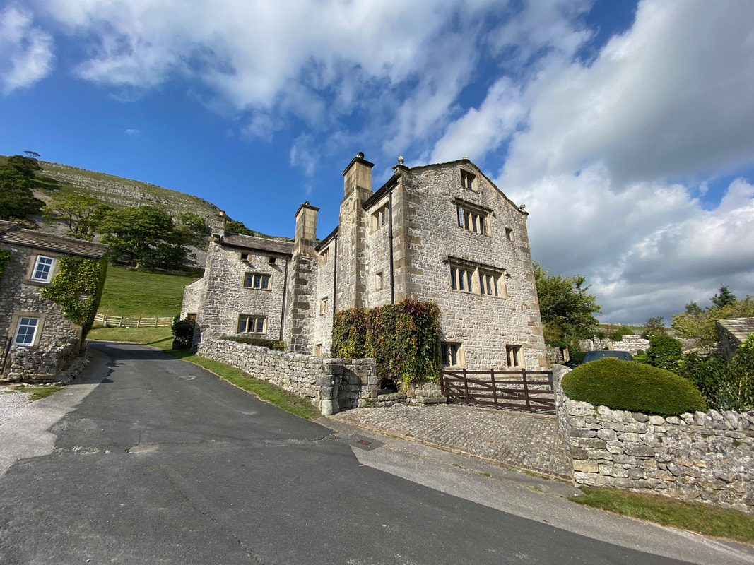
Kilnsey Old Hall was built as an administrative centre for the Cistercian Monks of Fountains Abbey. It was from here that they managed their grazing land and all flocks of sheep were driven to Kilnsey for their annual shearing.
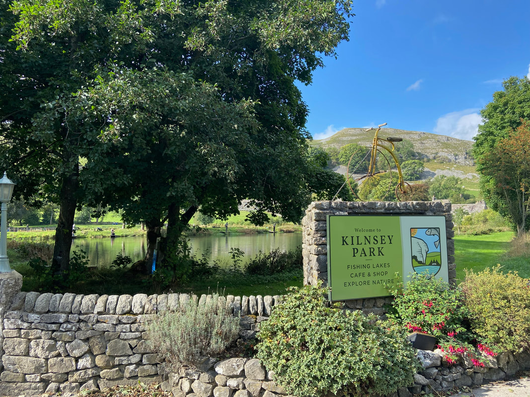
Passing the Fishing Lakes we thought it only fair to cast our net in at the Cafe and try their fare. In truth we have been here many times - it is an excellent cafe.
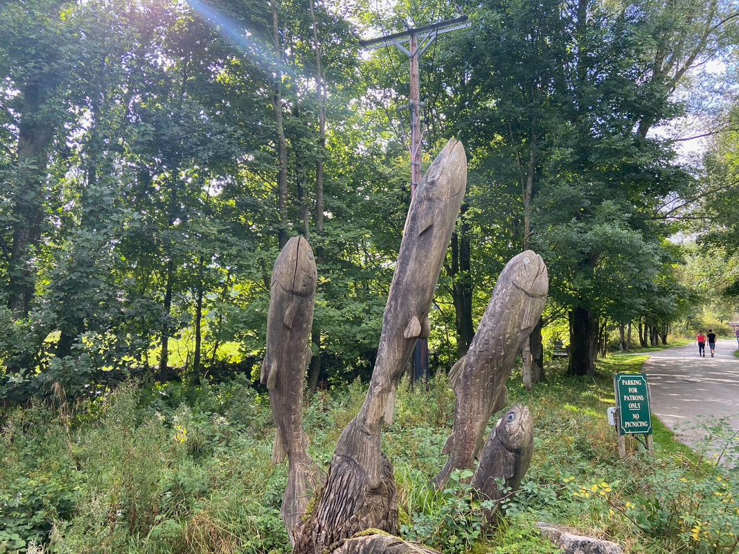
Leaping Trout
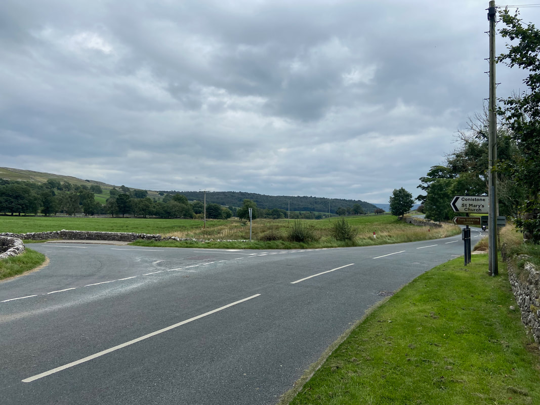
Leaving the Fishing Lakes it is necessary to walk along the B6160 for 250 yards to reach the turning for Conistone. The road can get busy therefore it is necessary to walk in single file and take care.
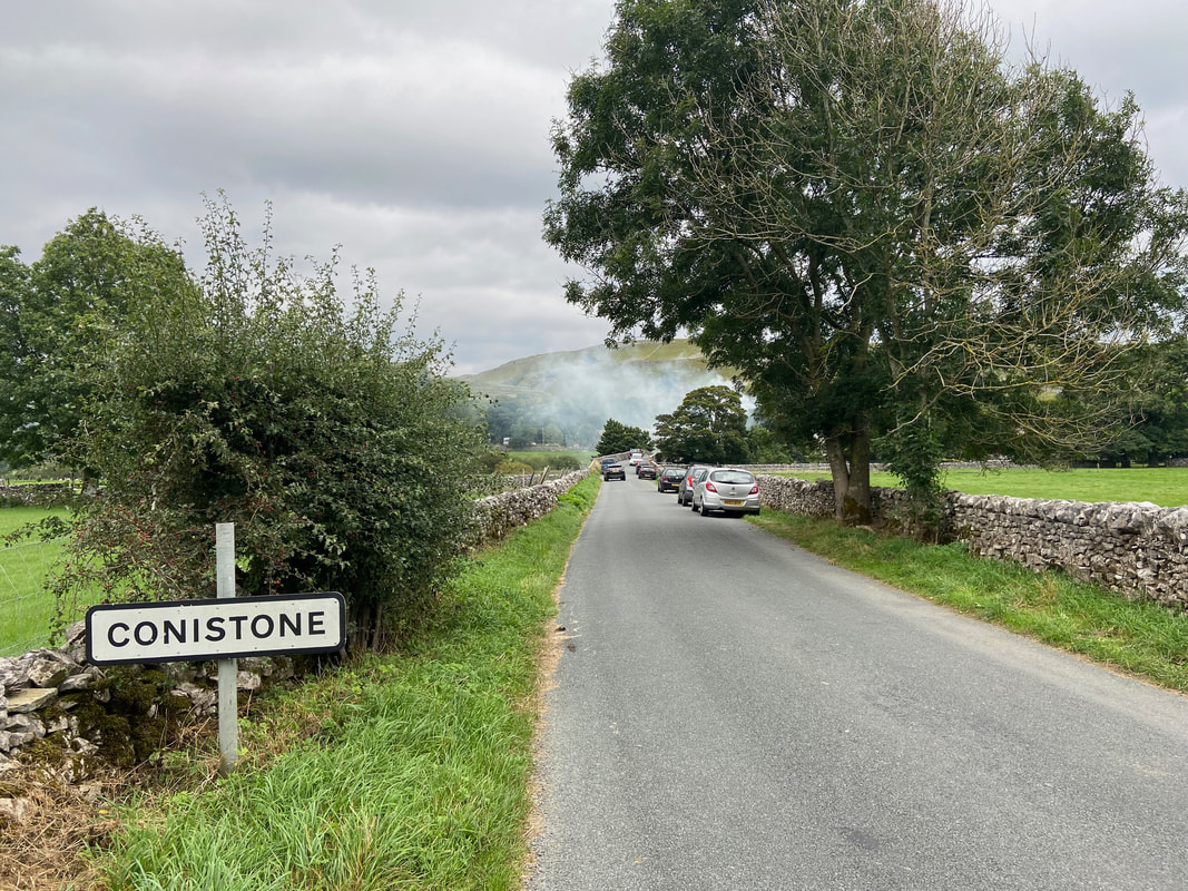
Entering the small village of Conistone
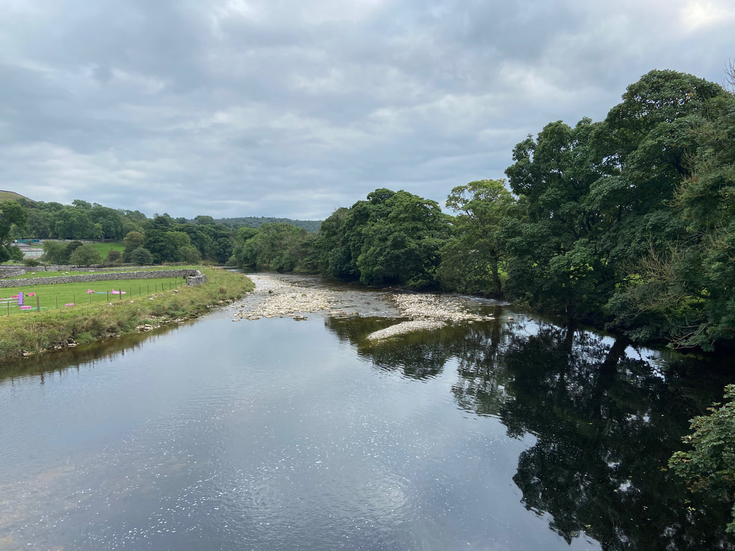
Crossing the River Wharfe via Conistone Bridge
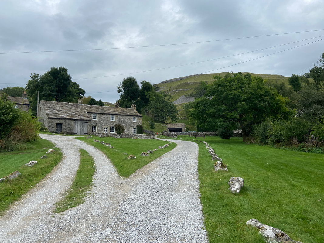
Almost as soon as you enter Conistone you leave it via a driveway to the right of a property
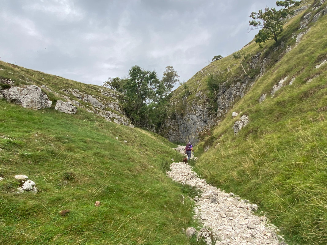
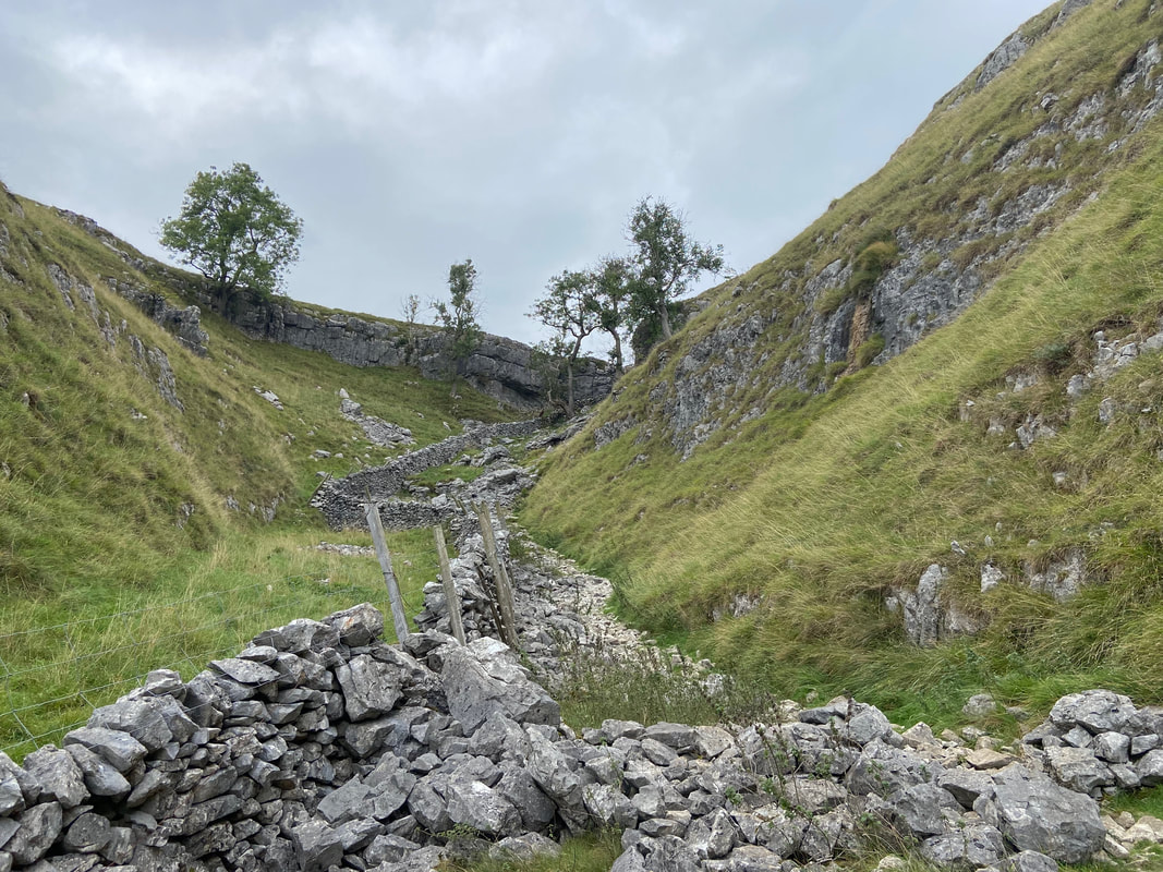
Heading for the entrance to Gurling Trough
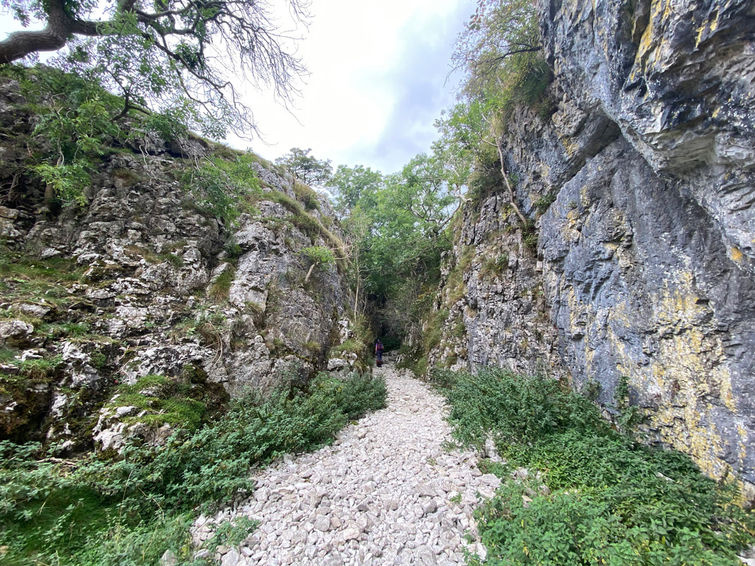
Entering the miniature limestone gorge of Gurling Trough. The gorge is a narrow melt-water channel so called because the channel was formed by erosion cutting into the rock and sediment by flowing water beneath or close to ice-sheet margins. No water flows through here anymore.
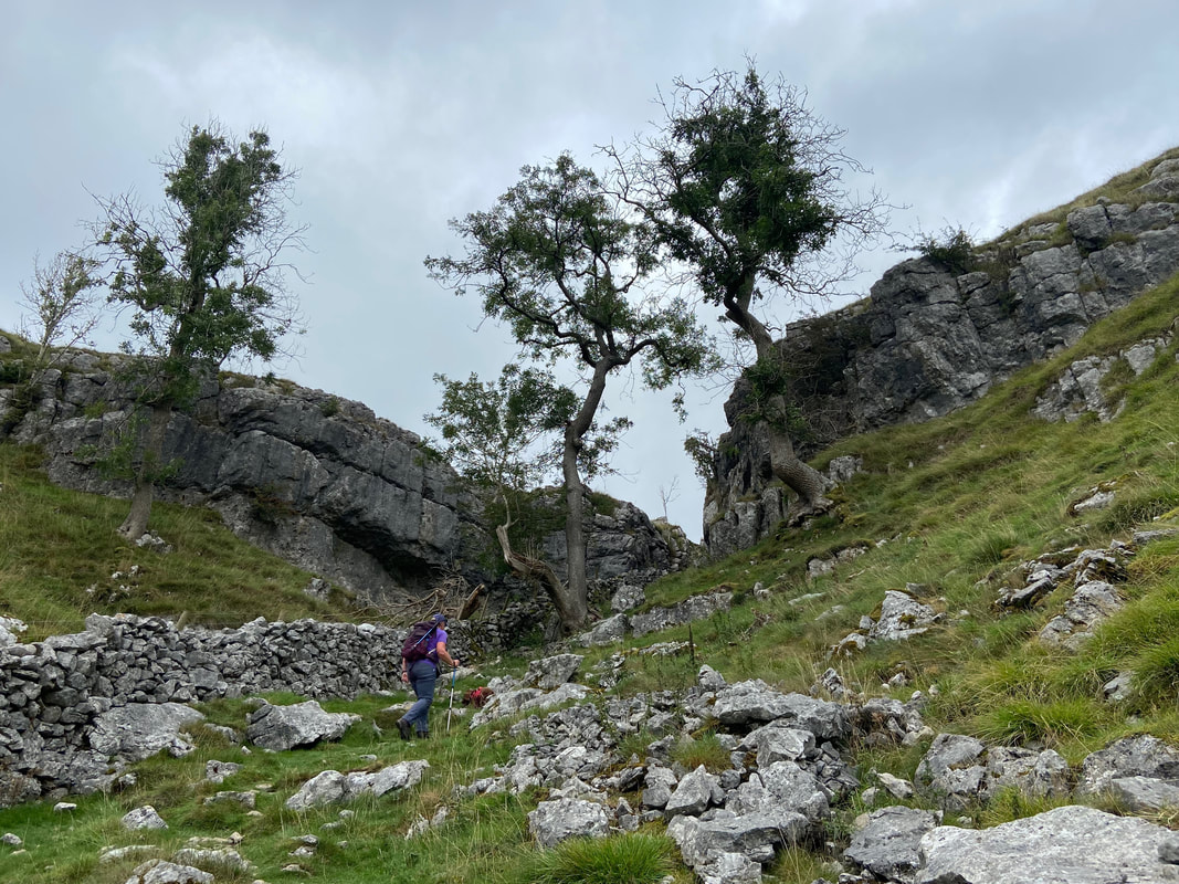
Continuing through Gurling Trough - the gorge is very atmospheric
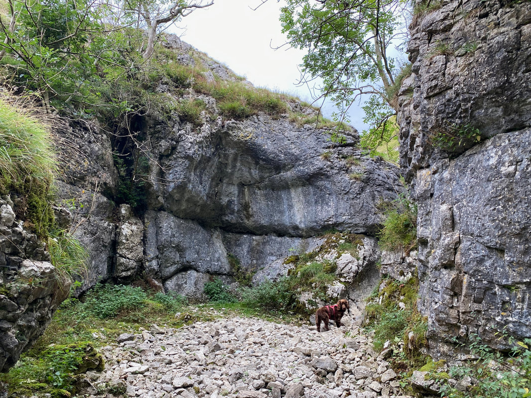
Fudge waits for me as we near the exit of Gurling Trough
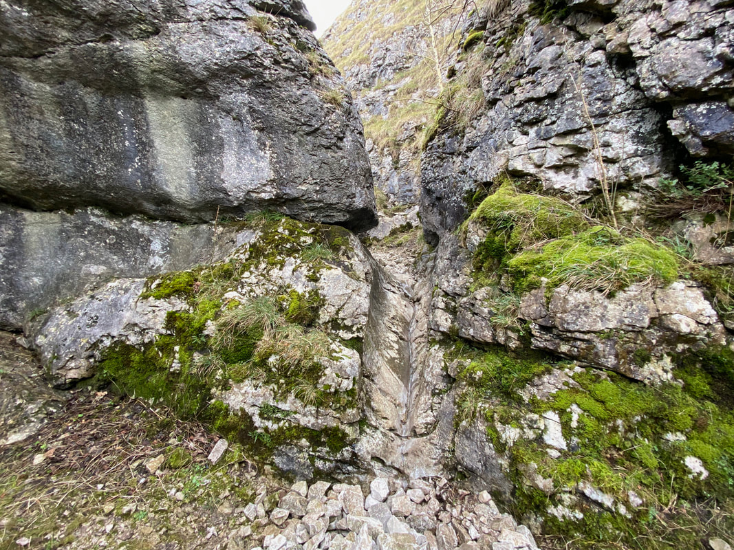
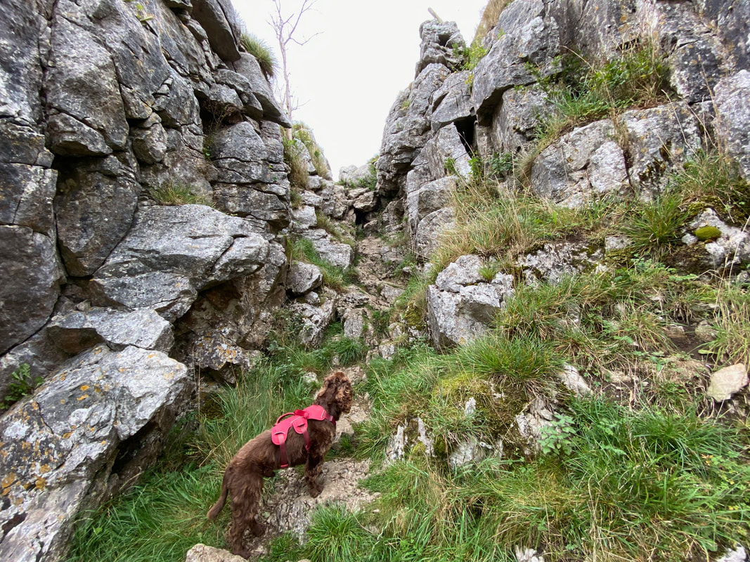
The exit of Gurling Trough is via a thin limestone groove
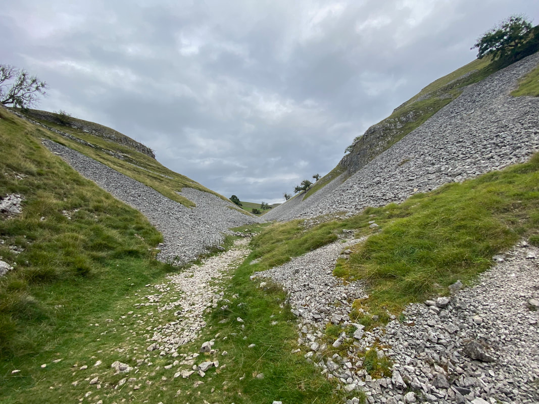
Once clear of the groove the route opens up to continue through the dry limestone valley of Conistone Dib
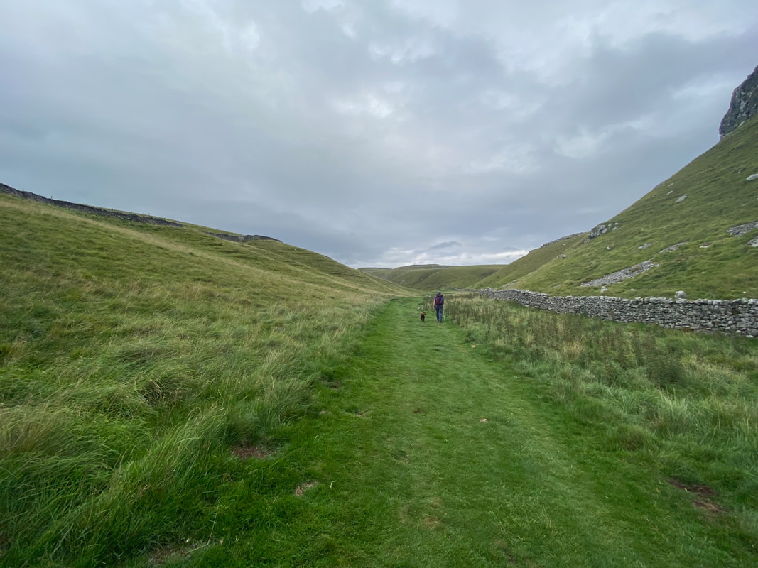
This is a glorious section of walking - and nobody else here..........
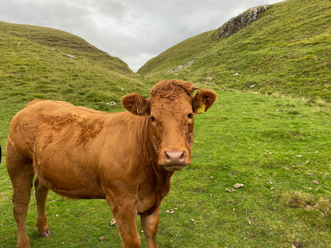
.....apart from this curious but very friendly bovine
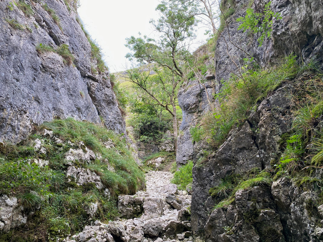
At the far end of Consitone Dib the valley narrows to reveal some mild scrambling
The gradient steepens as we climb out of the Dib
Fudge stops suddenly to contemplate his plan of attack out of the Dib
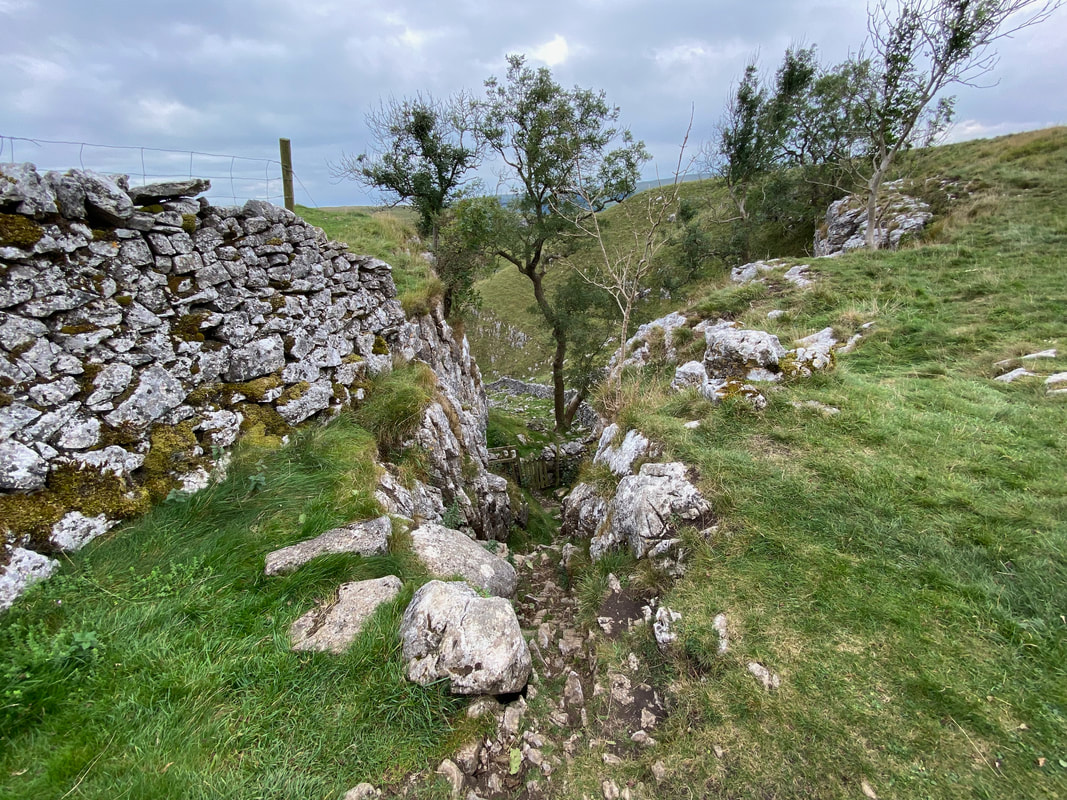
Looking back down to the exit from the Dib
Once out of the Dib we turned right and headed along The Dales Way in the direction of Grassington. This was now familiar territory from when we completed The Dales Way in 2014 - the blog of that walk is here
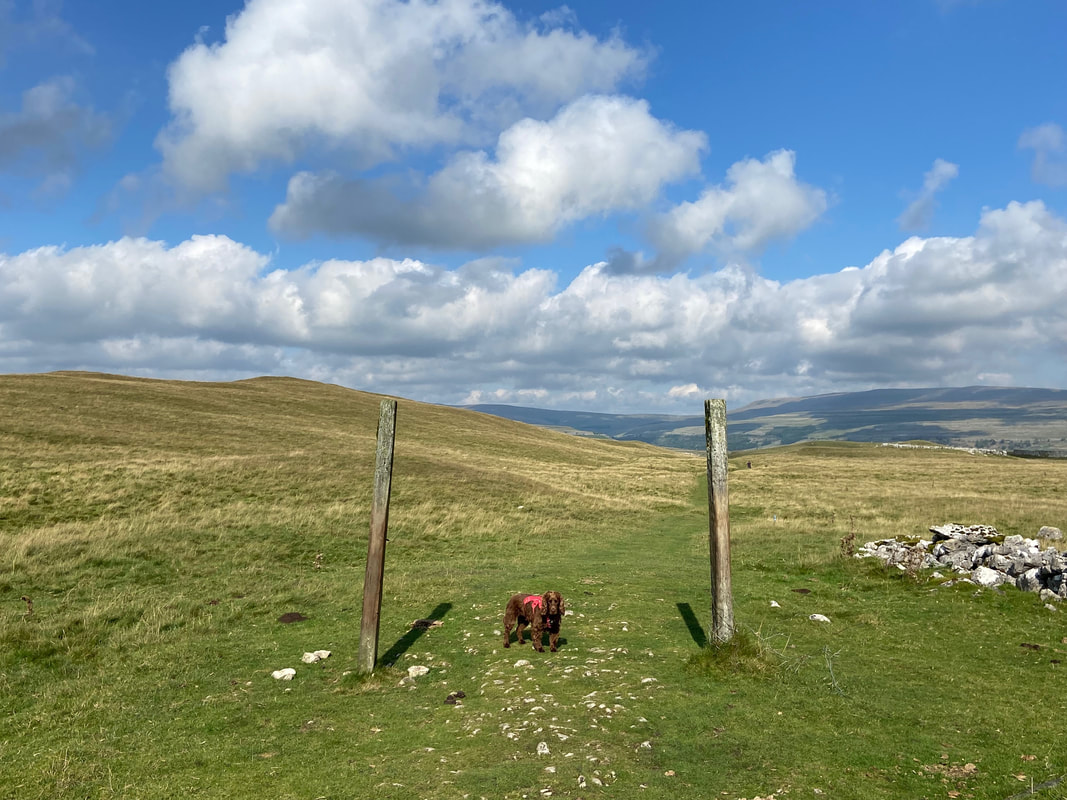
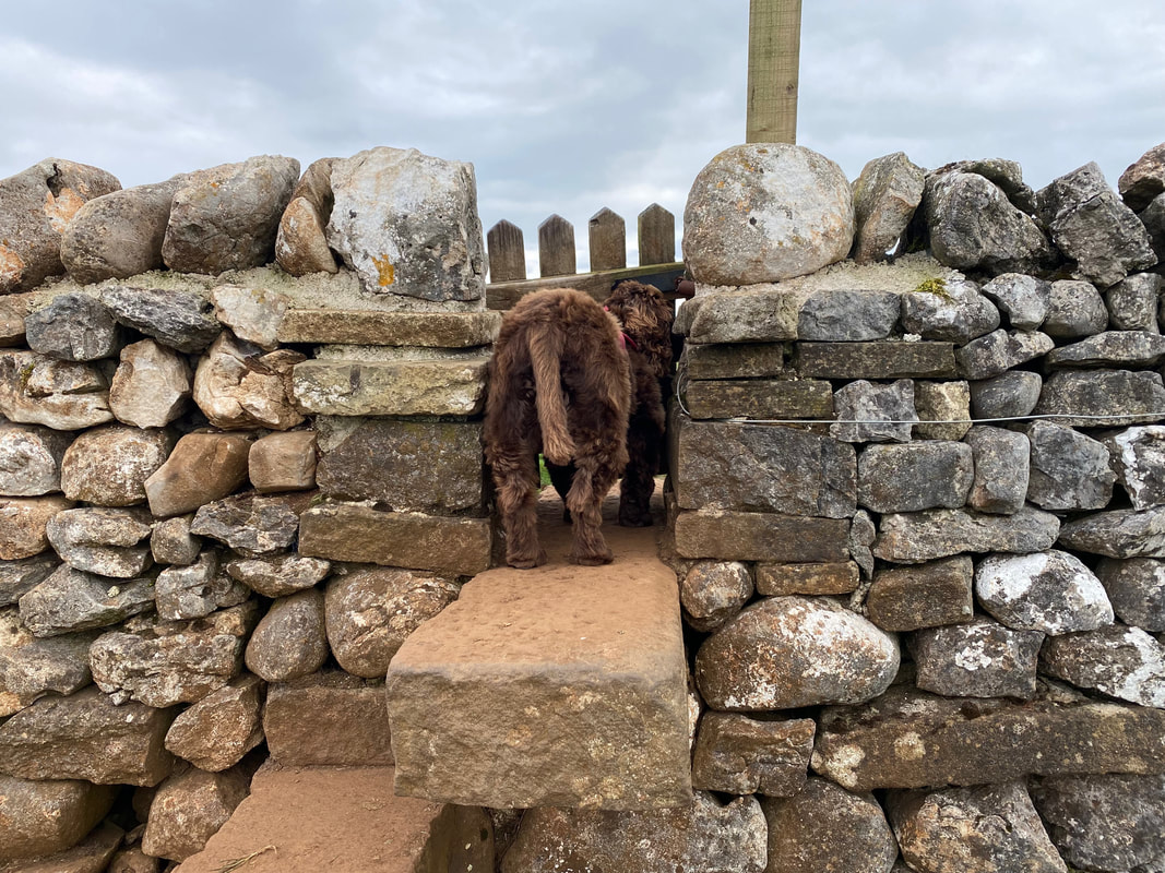
Open Sesame - some people would say this is Fudge's best side
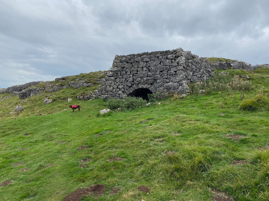
The route passes a fine example of a Lime Kiln. The kiln was more than likely built approximately 150 years ago and was used to burn limestone and turning it into lime. Once the lime was produced, farmers then spread it on the land to improve the grass.
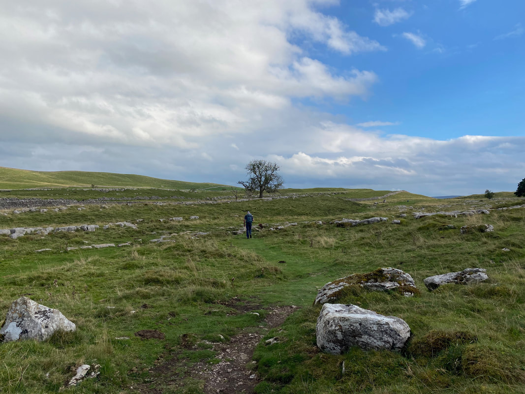
Continuing on to Grassington over Lea Green - again this was delightful walking
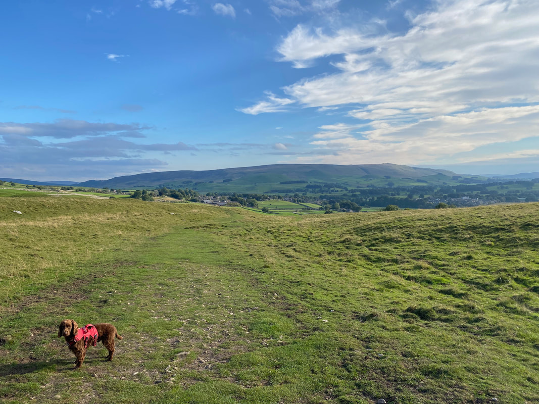
Dropping down into Grassington with Cracoe Fell beyond
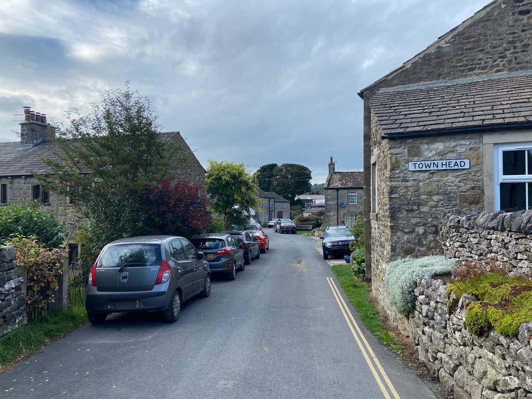
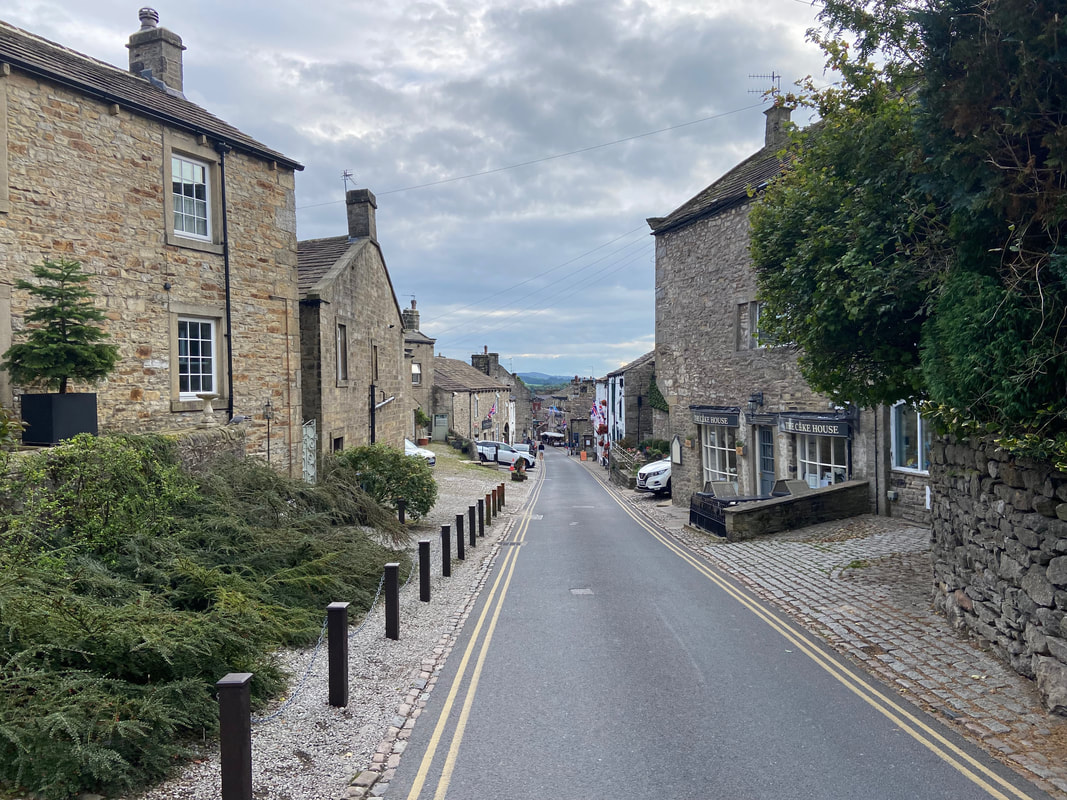
The route arrives in Grassington and proceeds through Town Head
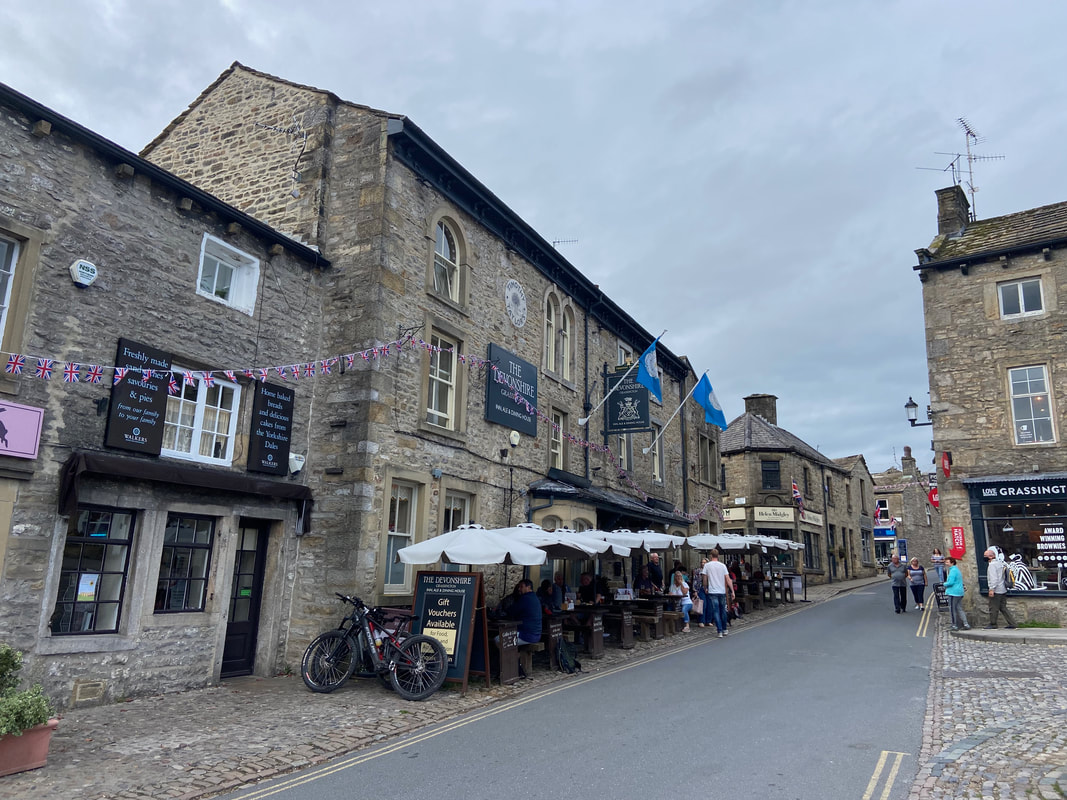
Grassington is quite a sprawling village - very "touristy" and full of pubs, cafes and shops selling stuff you probably wouldn't normally buy or need
Although we have been here many times, the jury is out on Grassington. It reminds me so much of Grasmere - just too busy.
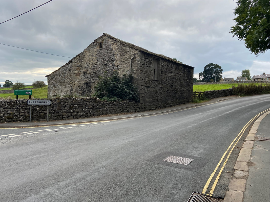
Back in Threshfield - I wonder if the pub at the top of the hill is open.
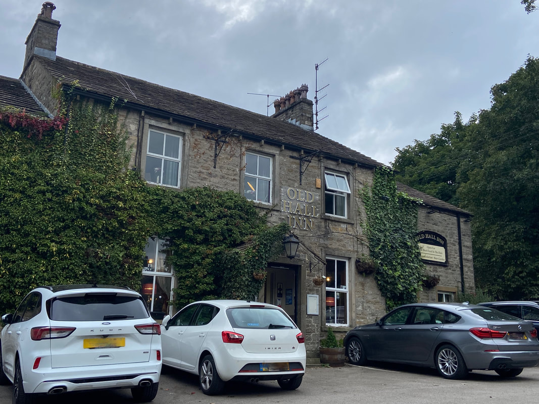
Looks promising
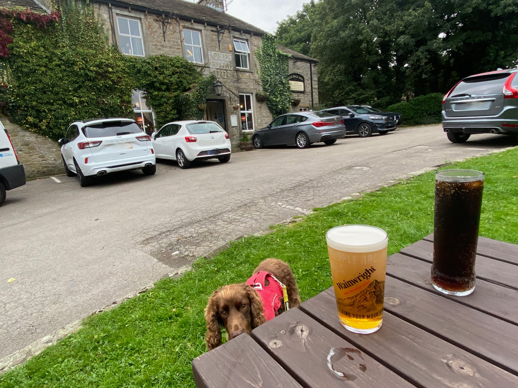
Of course it was as Fudge eyes the head of my excellent pint of Wainwright. Sorry mate, you're fresh out - it's all mine.
He's had another good day out bless him
