Irton Pike, Whin Rigg & Illgill Head - Saturday 16 May 2015
Route
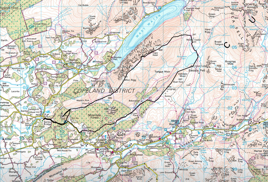
Santon Bridge - Irton Pike - Irton Fell - Whin Rigg - Illgill Head - Maiden Castle - Burnmoor Tarn - Low Place - Santon Bridge
Parking
Santon Bridge (Free) - Grid Ref NY122012
Mileage
14.2 miles
Terrain
Good mountain paths throughout - there is some road walking at the start & finish of this walk.
Weather
Overcast with sunny spells - visibility was generally good.
Time Taken
6hrs 30mins
Total Ascent
3385ft (1032m)
Wainwrights
2 plus 1 Outlying Fell
Map
OL6 - The English Lakes (South Western Area)
|
GPX File
|
| ||
If the above GPX file fails to download or presents itself as an XML file once downloaded then please feel free to contact me and I will send you the GPX file via e-mail.
Walk Description
The area in and around Wasdale is beautiful for many reasons and it is not difficult to work out why people come here despite it not being that easy to get to. We were staying just down the road in Santon Bridge and could walk from the door today. We therefore decided to climb the Outlying Fell of Irton Pike, and then head across Irton Fell to walk above the Wasdale Screes along Whin Rigg & Illgill Head. We then intended to drop down to Burnmoor Tarn before returning to Santon Bridge via the lovely valley of Miterdale.
For those not lucky enough to be staying in Santon Bridge, there is parking available in the village and also below Irton Pike on the road to Eskdale. From the parking area a path headed uphill to the east of Irton Pike to reach the end of the forest. At this point the path doubles back on itself to reach the summit of Irton Pike from where there is a superb view over Wastwater to Wasdale Head. Dragging ourselves away from the summit, the route headed back to the forest edge from where we made the long but very pleasant transit over Irton Fell to climb steadily to the summit of Whin Rigg.
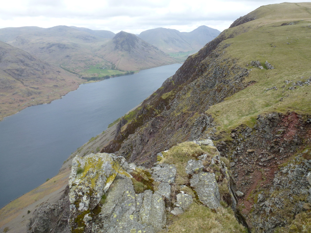
From Whin Rigg there are fantastic views over Wasdale and down to Wastwater and these stayed with us as we made our way along the ridge to Illgill Head. From Illgill Head's summit, a short walk to the left leads to a superb vantage point over to Yewbarrow and Wastwater and is worth the extra effort. The climbing was over now and we were then faced with a gradual descent to Maiden Castle before heading right to reach the shoreline of Burnmoor Tarn - an idyllic place and one we visited last year when we came down from Scafell (link here).
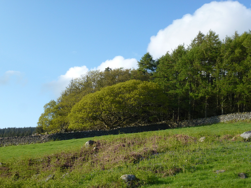
It is worth stopping a while at the tarn to appreciate its remoteness and tranquility - this is a lovely and very peaceful place sat just below the imposing bulks of Illgill Head and Scafell. Leaving the tarn, we headed to its eastern edge to reach Burnmoor Lodge from where we contoured around the fell side to pick up the path through Miterdale. This is a beautiful and unspoilt valley and the walk was all the better for the transit through it, with the River Mite keeping us company too. We then reached Low Place Farm and after walking along the farm track there was then a delightful amble along the southern edge of Miterdale Forest that afforded us lovely views over to Muncaster Fell and beyond. All too soon we reached the Santon Bridge to Eskdale road and it was now just a question of following this for roughly a mile back to the start.
This was a really enjoyable excursion to the less frequented part of Wasdale - we saw few people today on what is a superb ridge walk with breathtaking views over Wasdale and the many fells that surround this idyllic valley.
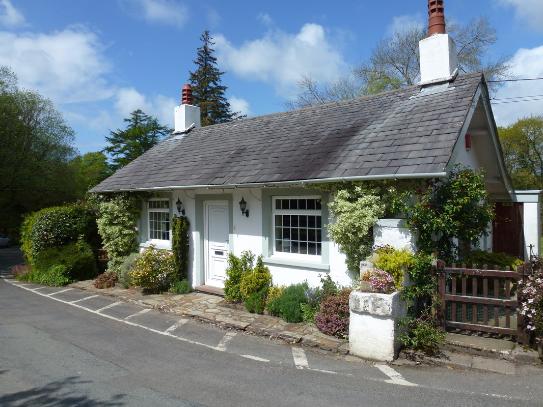
Great place to stay - Force Bank Cottage at Santon Bridge (dog friendly & a tea shop next door)
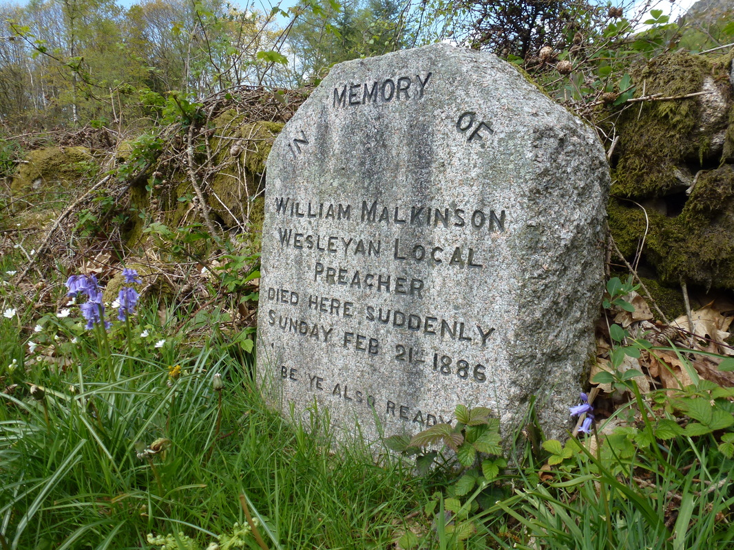
The Malkinson Memorial on the side of the road leading to Eskdale
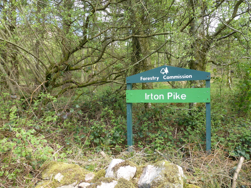
Whilst we started from Santon Bridge, there is free parking opposite this Forestry Commission sign at GR NY122012
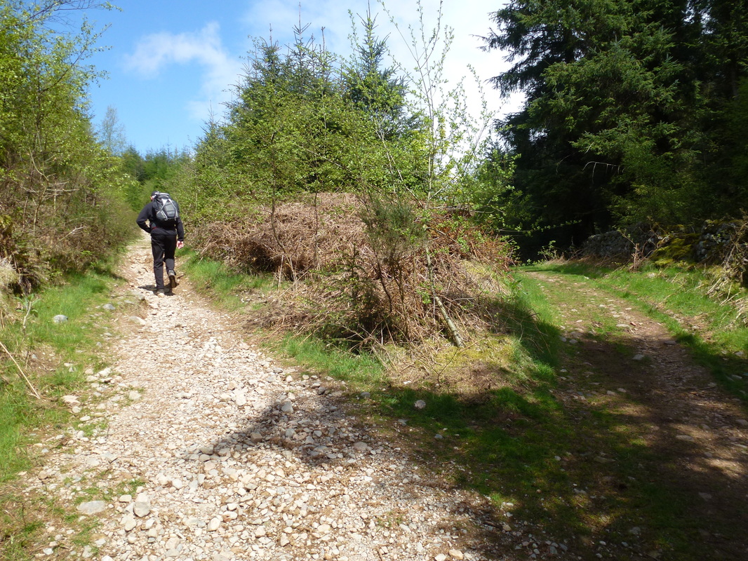
Leaving the Forestry Commission Car Park, a gently rising path heads up the eastern side of Irton Pike
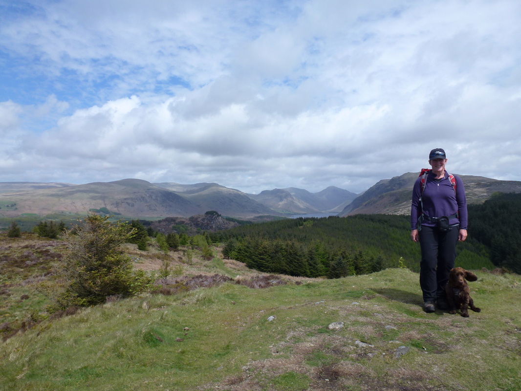
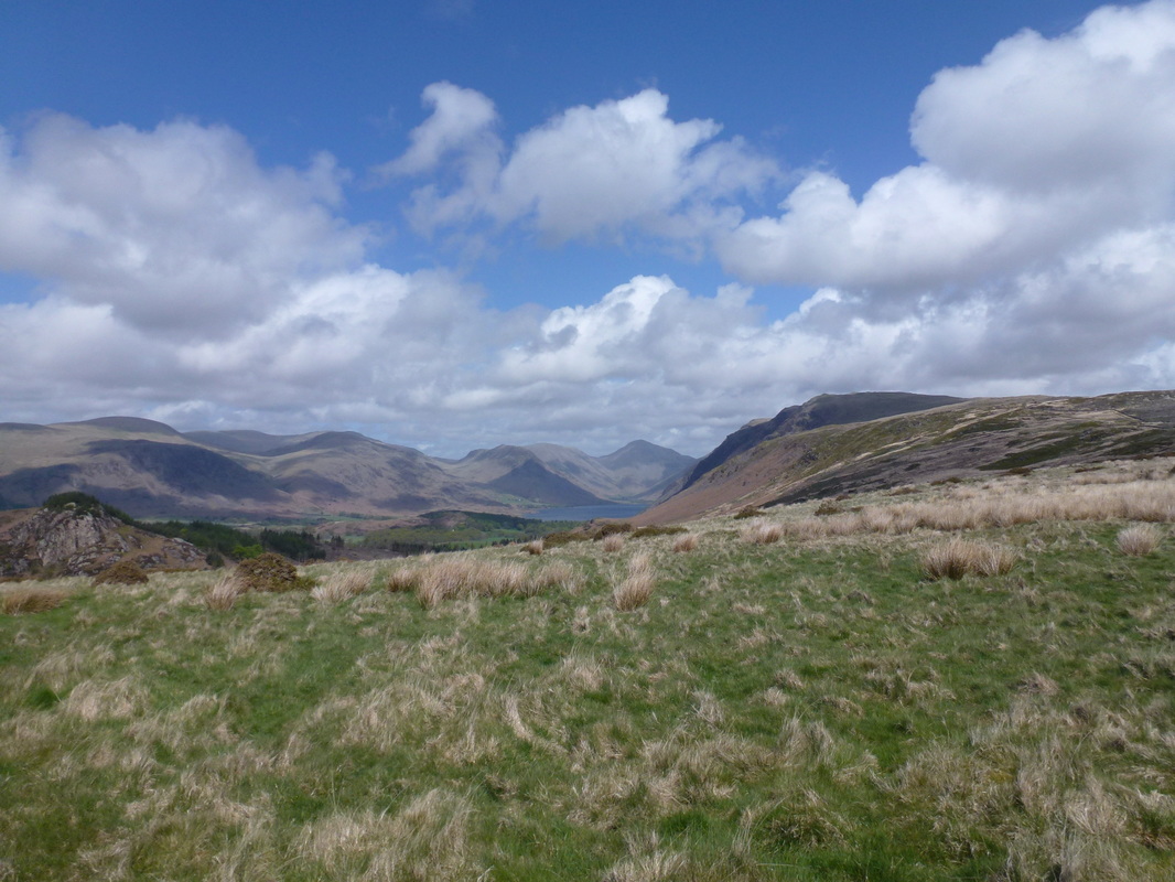
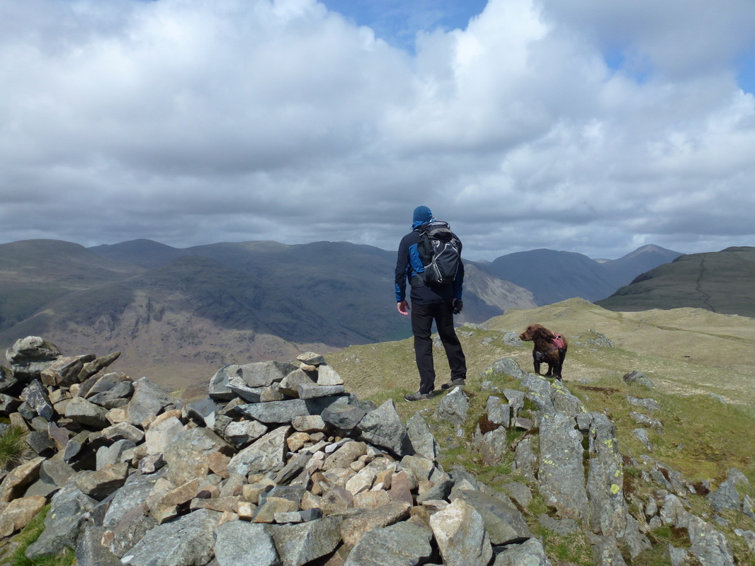
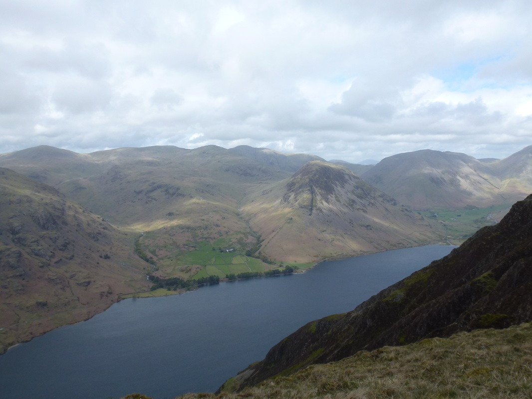
The summit of Irton Pike - a Wainwright Outlying Fell. There is a superb view from here down to Wastwater & Wasdale Head -
look at all those fells! Fudge appears to have lost control of his ear bless him.
look at all those fells! Fudge appears to have lost control of his ear bless him.
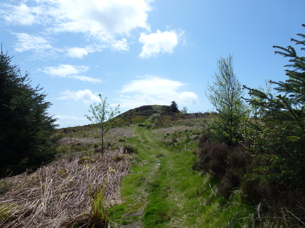
Looking back to Irton Pike's summit
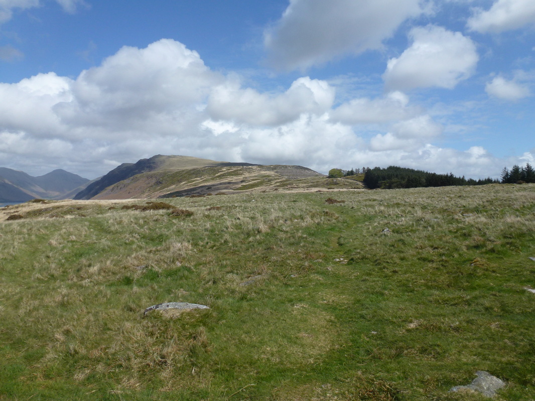
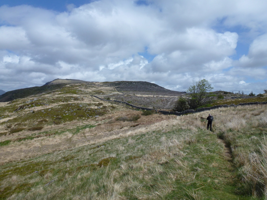
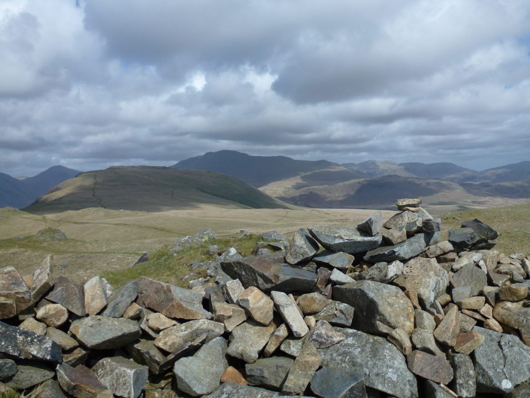
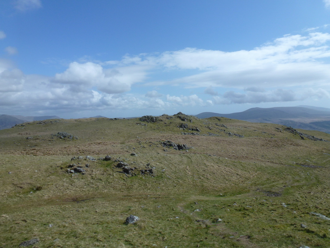
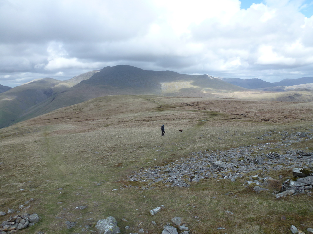
Heading over Irton Fell to Whin Rigg ahead
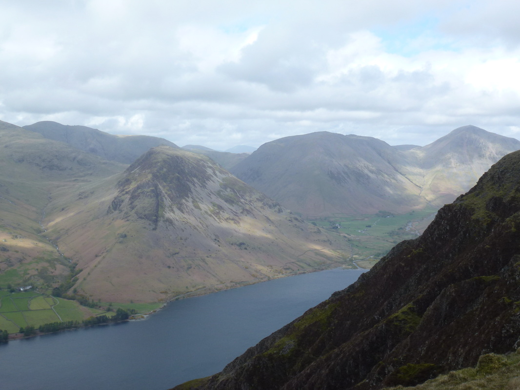
This view down Wastwater to Buckbarrow, Middle Fell, Yewbarrow & Great Gable was in front of us for most of the transit to Whin Rigg
The path over Irton Fell eventually reaches a wall which we then handrailed to the ridge
Meanwhile Fudge as usual has found something to swim in as we head to Whin Rigg
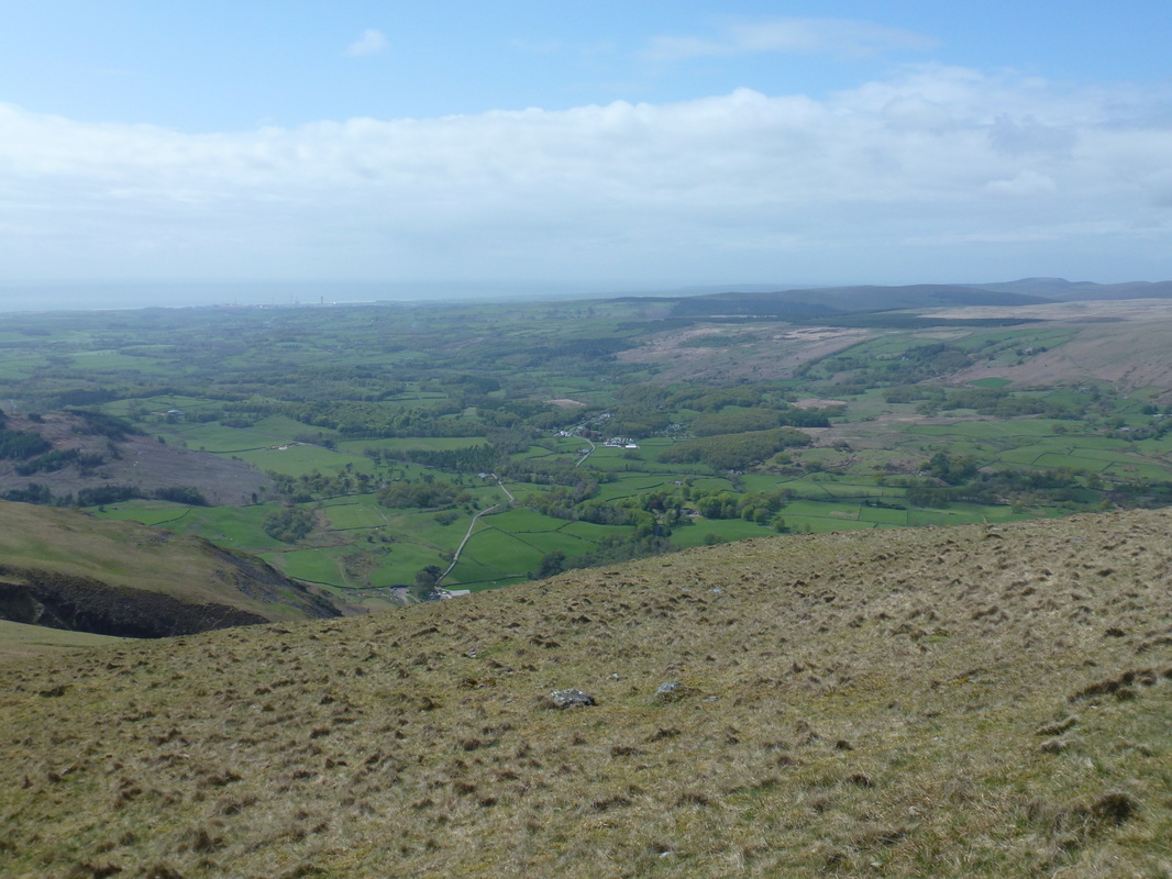
Nether Wasdale
A tad breezy on the summit of Whin Rigg - great views from here
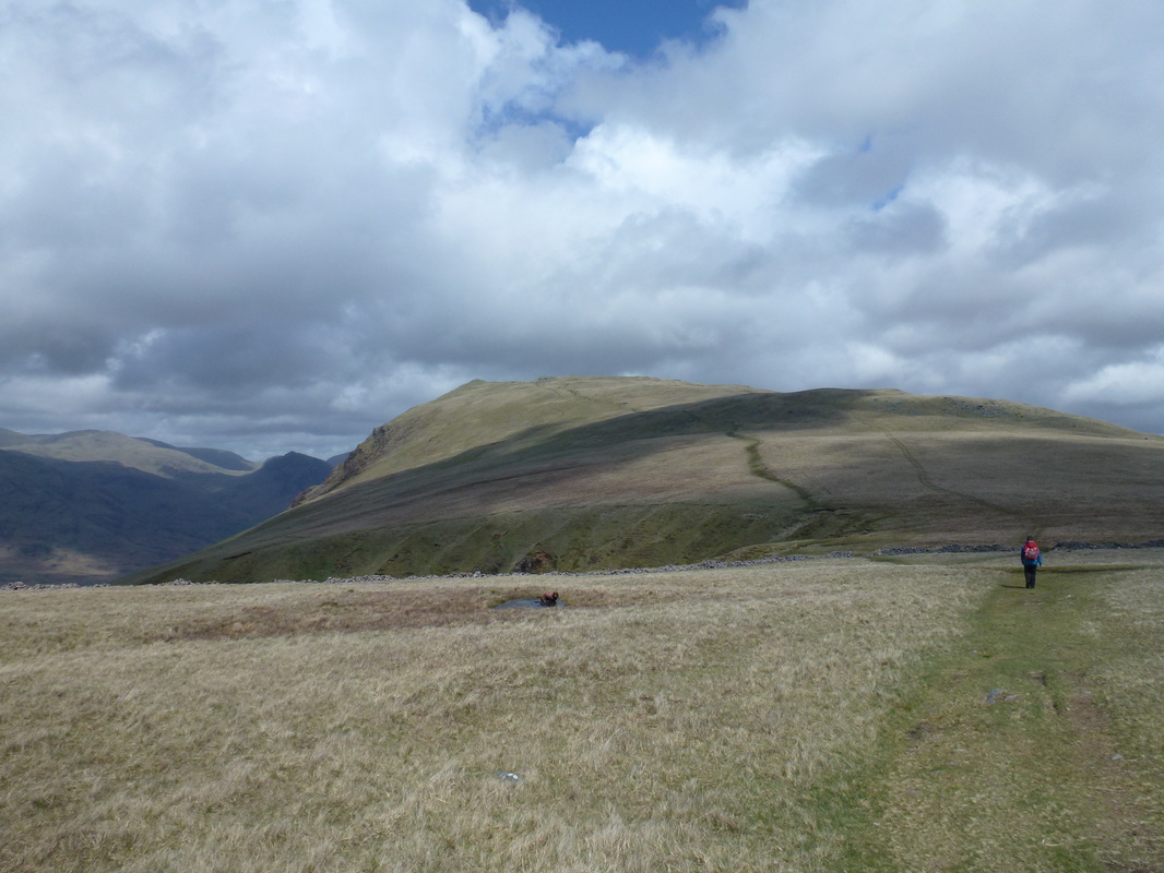
Whin Rigg looking to Illgill Head with The Scafells to the right and Great Gable left
Illgill Head
Creeping close to the edge of the Screes affords a superb view down to Wastwater and Yewbarrow.......
and a bit closer in......
and closer still!!!!!
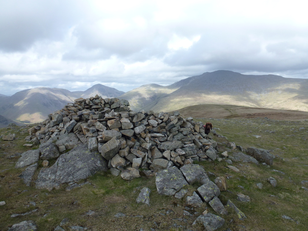
Hide and seek on the summit of Illgill Head
Descending Illgill Head with Lingmell, The Scafells and Slight Side in full view
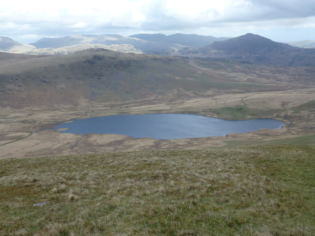
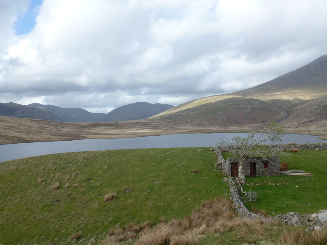
Burnmoor Tarn with Harter Fell to the right
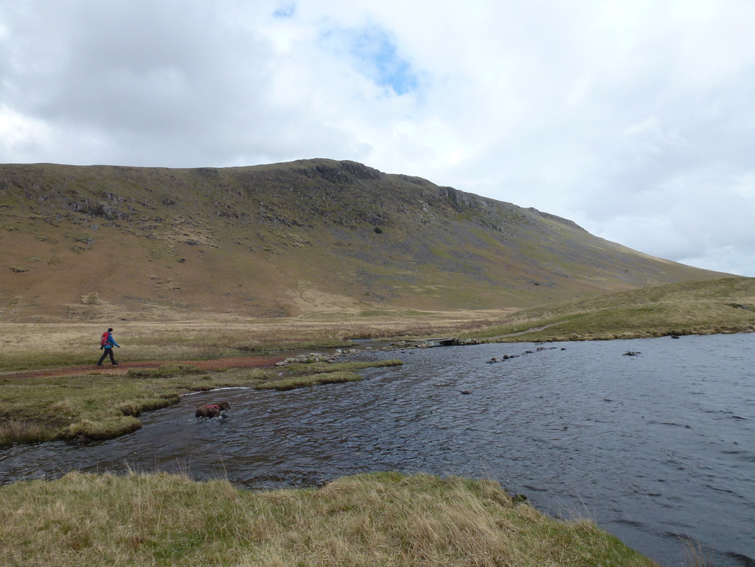
The path makes its way around the eastern side of Burnmoor Tarn
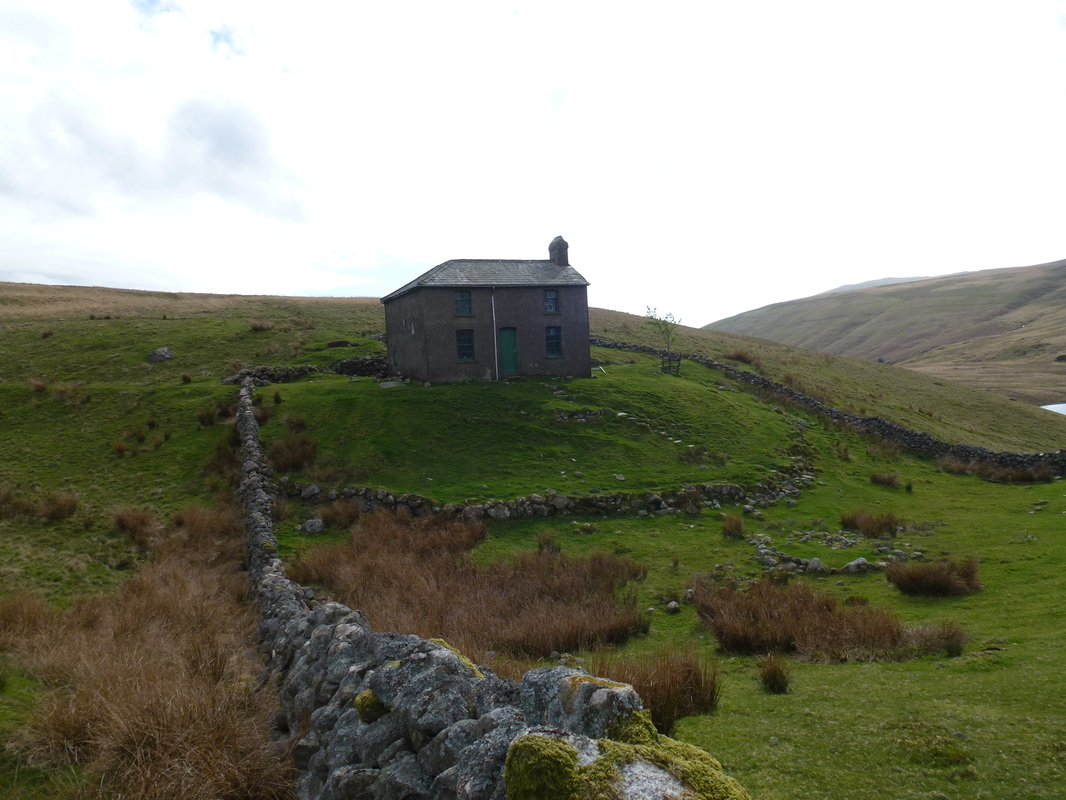
Burnmoor Lodge - there was some work going on here as we passed
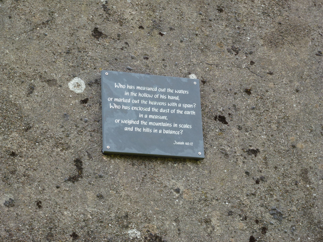
Stirring stuff on the wall of Burnmoor Lodge
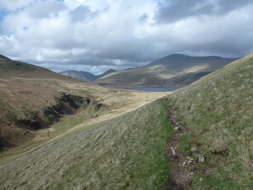
Looking back over Burnmoor Tarn - our descent down Illgill Head is to the left
Scafell above Burnmoor Tarn.
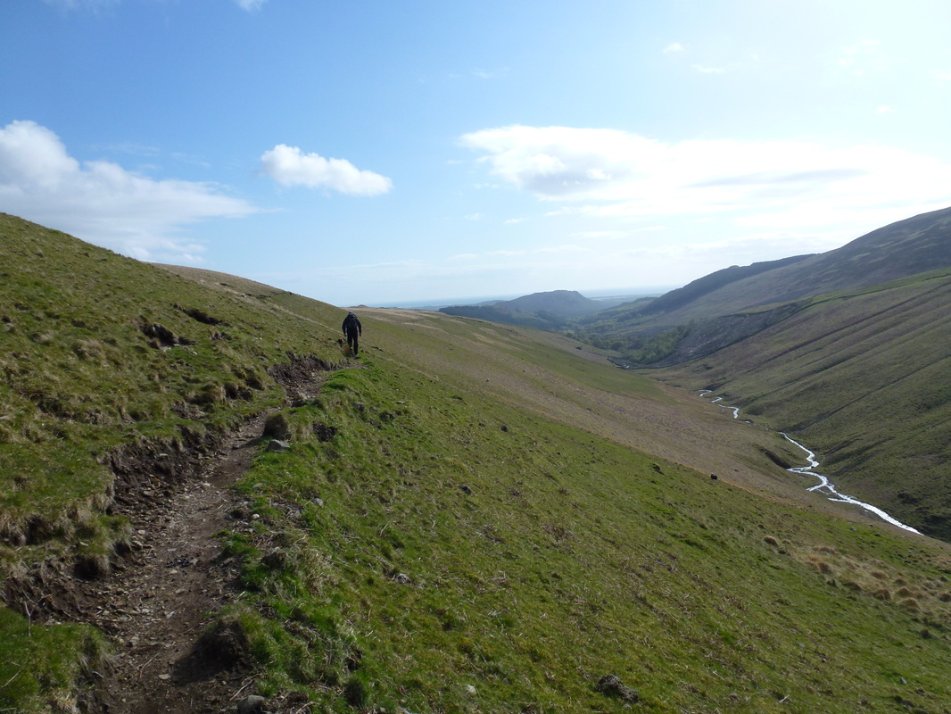
The path from Burnmoor Lodge to Low Place, whilst long was easy to follow and has the River Mite to guide you.
There is an opportunity here to bag the Outlying Fell of Boat How which is to the left - we didn't bother.
There is an opportunity here to bag the Outlying Fell of Boat How which is to the left - we didn't bother.
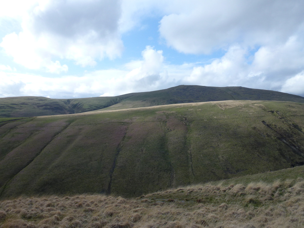
Illgill Head up above us
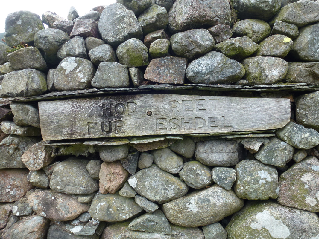
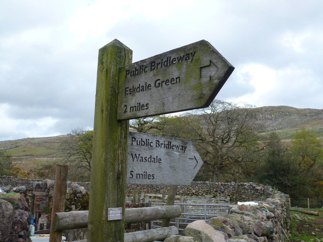
Love this sign at Low Place Farm - translated means "Head Right for Eskdale"
..... and we did
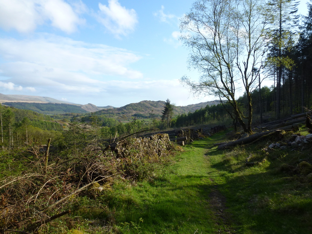
The path from Low Place to Cubben was a lovely stretch to walk - Muncaster Fell is in the centre
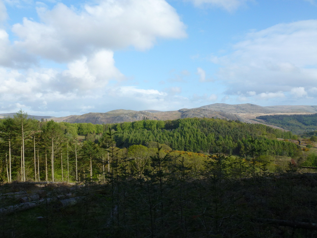
It was turning into a beautiful evening
Farmland near Cubben
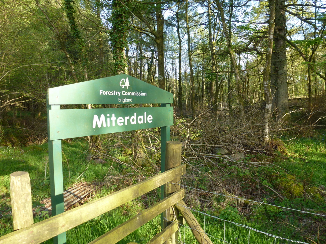
The path joins the Eskdale road at the Miterdale Forest sign - about a mile to go to Santon Bridge and a refreshing beer!
