Pumlumon from Eisteddfa Gurig - Friday 25 March 2016
Route
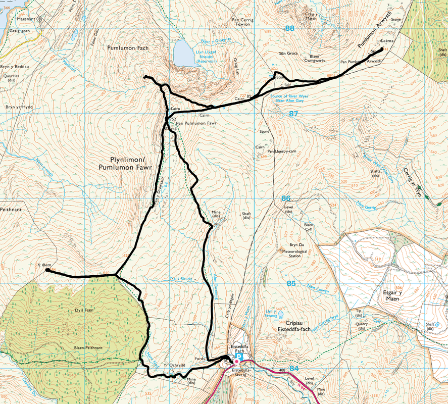
Eisteddfa Gurig - Y Garn - Pen y Drawsallt - Pumlumon Fawr - Pumlumon Fach - Pen Pumlumon Llygad-bychan - Pumlumon Arwystli - Pumlumon Fawr - Eisteddfa Gurig
Parking
Eisteddfa Gurig (£5 for the day) - Grid Ref SN798841
Mileage
10.7 miles
Terrain
Farm tracks and mountain paths with some boggy sections. The path from Pumlumon Fawr to the old mine workings is intermittent.
Weather
Sunny and cold for the most part with good visibility throughout.
Time Taken
5hrs 30mins
Total Ascent
2500ft (762m)
Map
OS Explorer 213 - Aberystwyth & Cwm Rheidol
|
GPX File
|
| ||
If the above GPX file fails to download or presents itself as an XML file once downloaded then please feel free to contact me and I will send you the GPX file via e-mail.
Walk Description
Good Friday therefore out in the hills nearer to home today. We made the 45 minute drive to the small hamlet of Eisteddfa Gurig which, along with Nant y Moch Reservoir is the popular start of any ascent of the Pumlumon range. Pumlumon (meaning 5 peaks which are all Welsh Nuttalls) is the highest point in the Cambrian Mountains and Mid Wales. It is a massif that dominates the countryside of northern Ceredigion. The walk began at the farm at Eisteddfa Gurig which has a large Car Park but be warned - they charge £5 for all day parking!! There is free parking further up the A44 if your pocket or conscience cannot take spending that amount!
Leaving the Car Park, the route headed through the farmyard to emerge at a junction of paths. The left fork headed out on a good track which meandered its way gently up the hillside to reach the forest. Turning to the north, the track continued, increasing in gradient until reaching the north eastern edge of Dyll Faen. To reach Y Garn it was just a question of hand railing the forest fence to the west on an undulating grassy path to reach the large summit cairn which gave glorious views over Nant Y Moch, Drosgl and to Pumlumon Fawr. From Y Garn the route returned due east, along the same outward route before turning north once again to follow the right hand side of the fence to make the delightful transit up on to the plateau summit of Pumlumon Fawr with its many shelters and Trig Point.
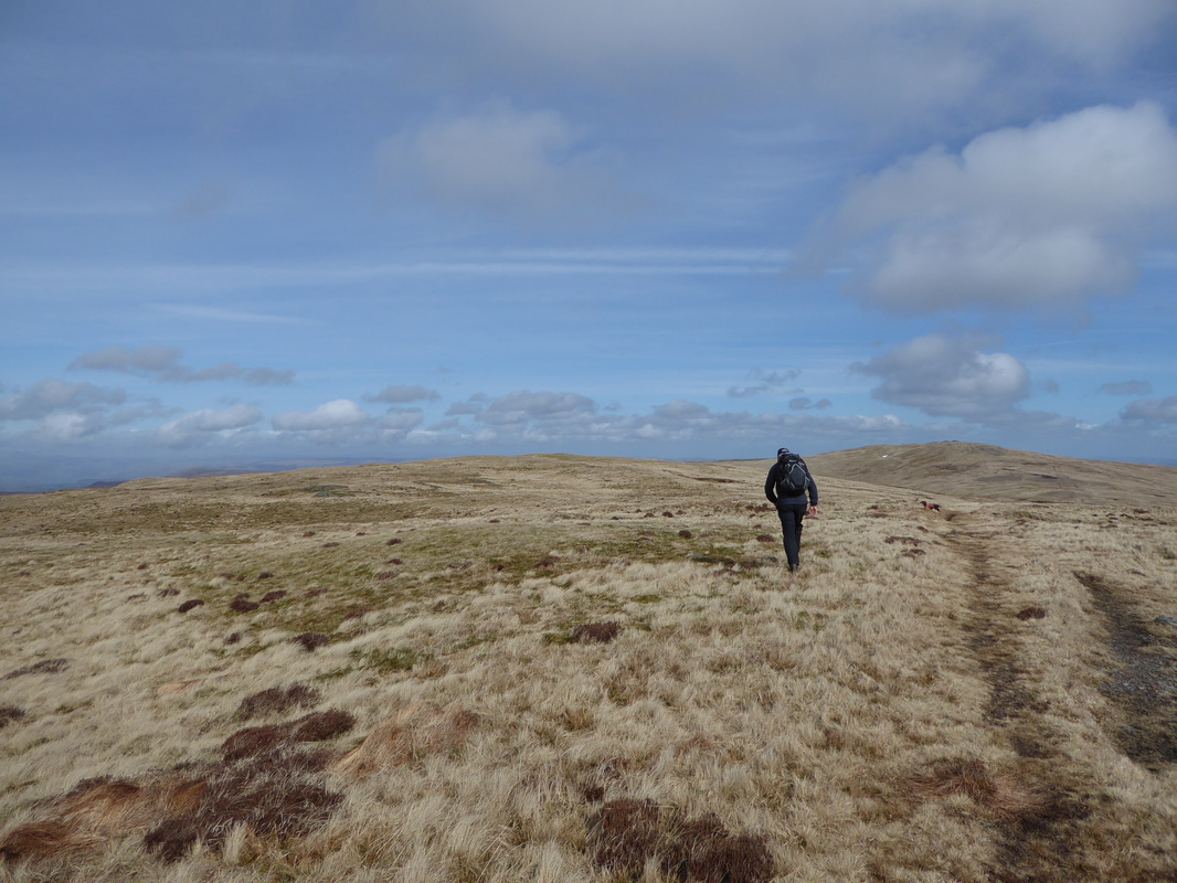
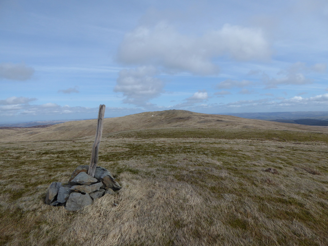
The next Nuttall of Pumlumon Fach would be difficult to find in mist however today was fairly straightforward. We had to drop down into a col and then take a path to the North West that rises to the summit where there is a small cairn. Leaving the top it would have been navigationally sound to return to Pumlumon Fawr and then be back on the ridge however we took a shorter route around the flank of Pumlumon Fawr, thus regaining the ridge just beyond the eastern cairn. There was now a good path to the point where we would rejoin the path coming down from Pumlumon Fawr to reach the summit of Pen Pumlumon Llygad-bychan where there were good views to be had. Leaving the summit, it was now a question of remaining on the path from Pumlumon Fawr in order to climb up to Pen Pumlumon Arwystli and its two large cairns although we deviated slightly to take in a subsidiary summit of Pen Pumlumon Llygad-bychan for more excellent views.
From the summit of Pen Pumlumon Arwystli we returned along the fence back to Pumlumon Fawr, crossed the stile on the summit and headed south. This path was cairned for about half a mile then became intermittent before petering out altogether therefore we took a bearing on the disused mine, descending over tussocky grass to reach a track. From here it was a simple case of following the track all the way back to the farm at Eisteddfa Gurig.
If you want solitude, good walking and superb views then Pumlumon is for you. We have walked in this area a few times now and are still surprised at how quiet it is - even on Good Friday!
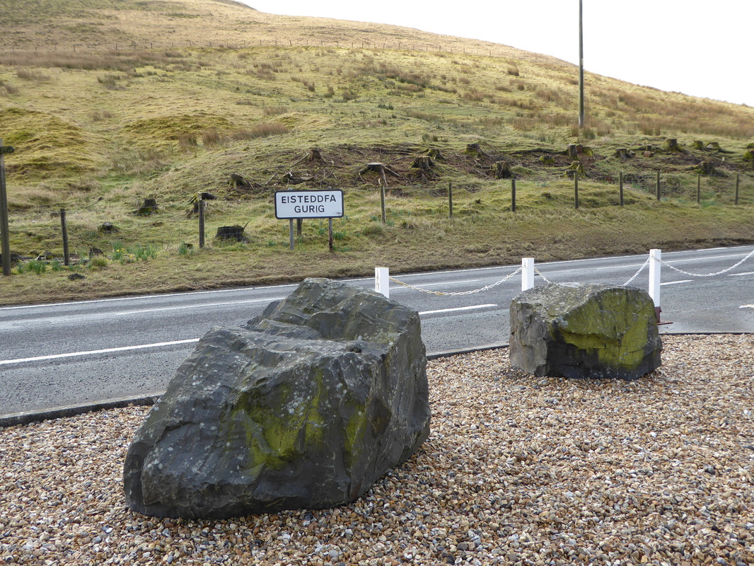
The small hamlet of Eisteddfa Gurig on the A44 is the start point for this walk
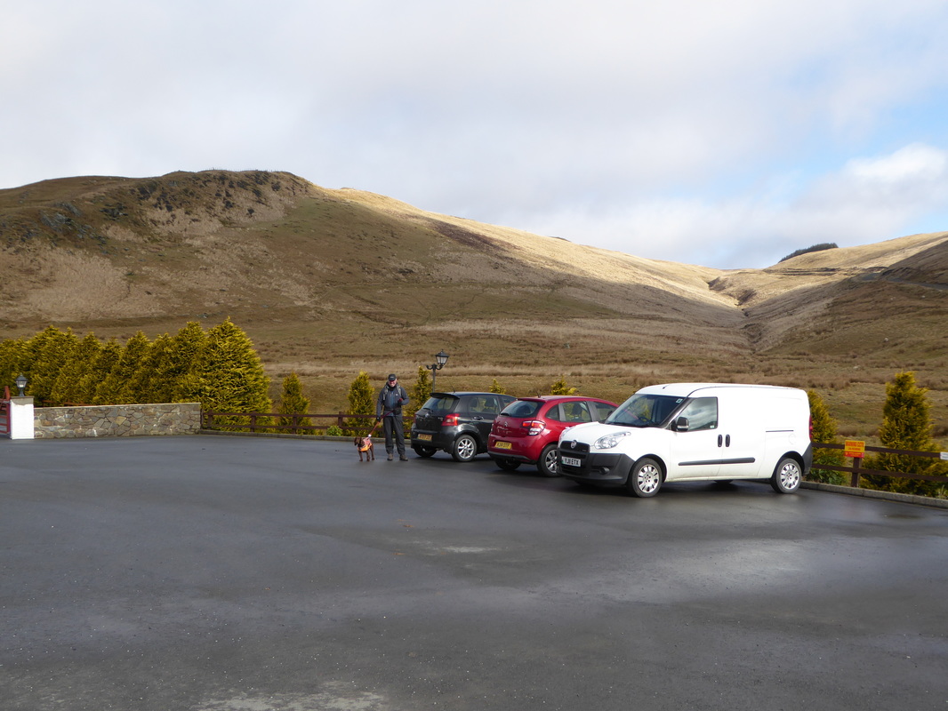
There is a large Car Park which fleeces you for £5 to park there all day. There is free parking a further 300m along the A44
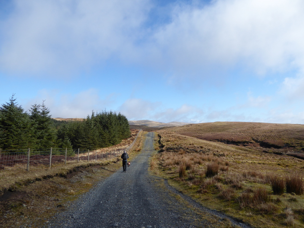
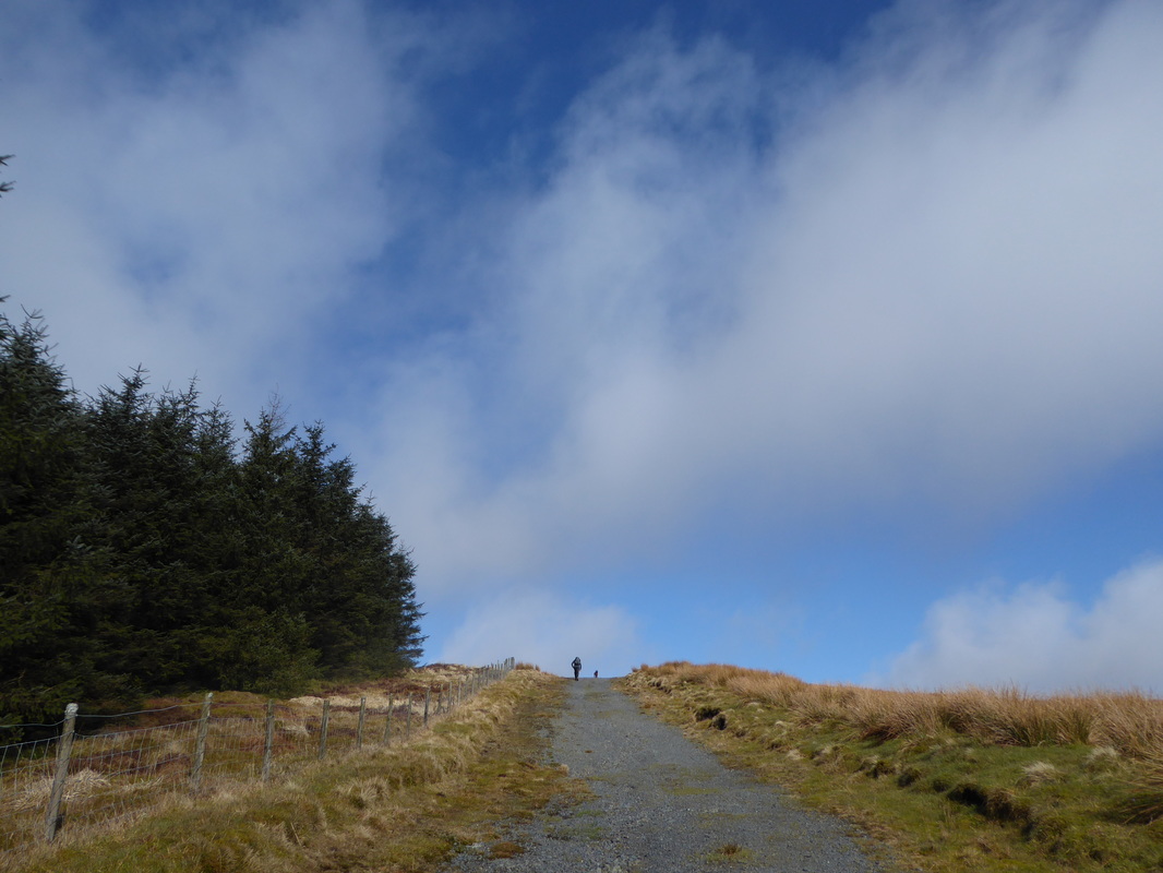
The track leaves the farm at the start and continues virtually all the way to the top of Dyll Faen Forest
Almost at the turning where we would head west to Y Garn
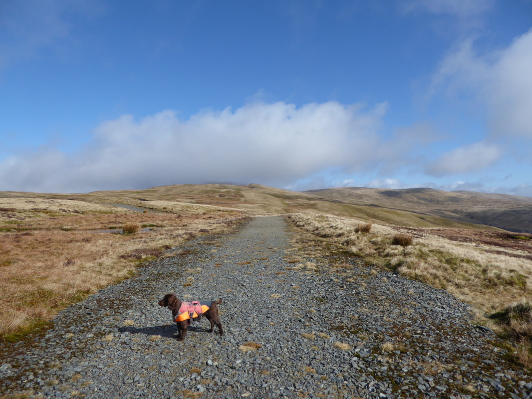
The track junction at the top end of Dyll Faen - carry straight on to Pumlumon Fawr (in cloud ahead) or head west where Fudge is pointing to!
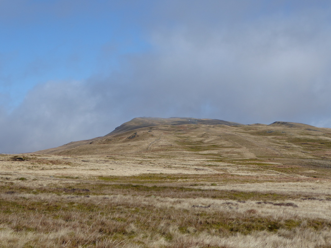
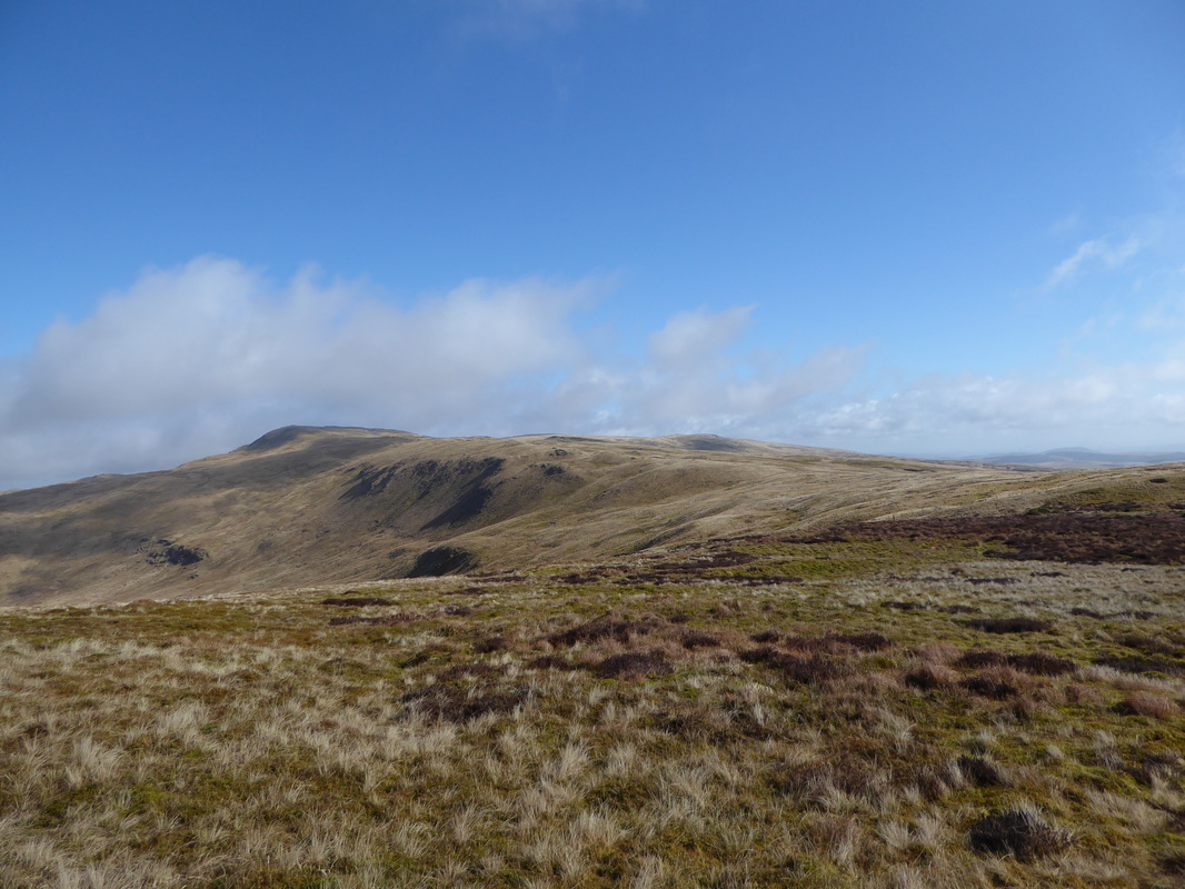
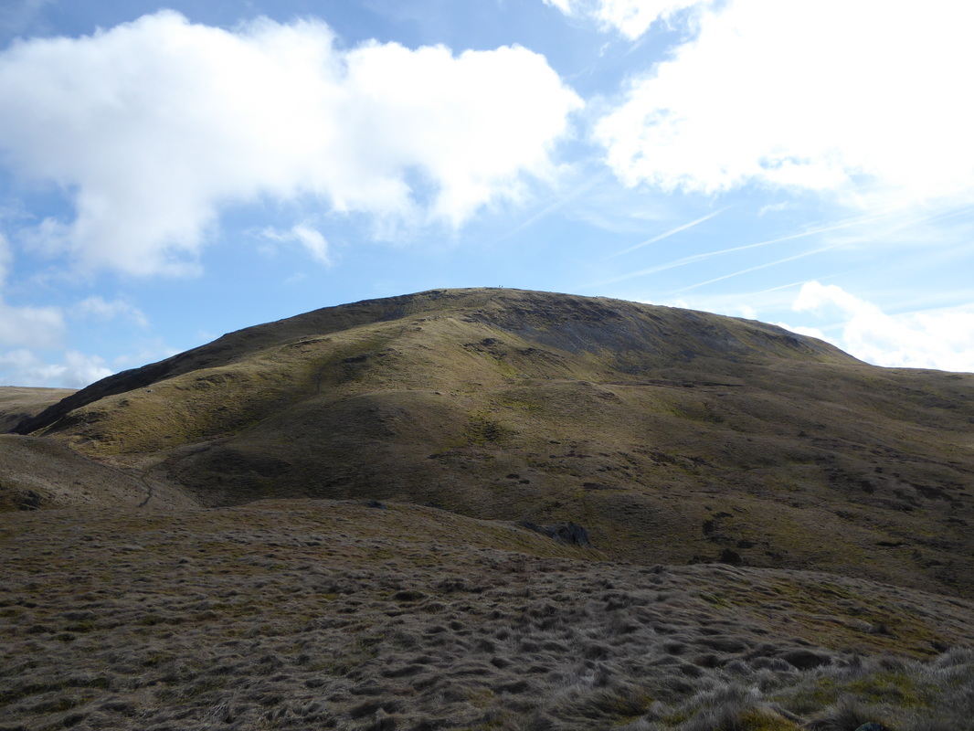
Pumlumon Fawr from the path to Y Garn
From the track it is a simple case of hand railing the fence to the summit of Y Garn and returning the same way
A panorama of Y Garn and Pumlumon Fawr
The view over to Pumlumon Fawr stayed with us on our transit to Y Garn
Looking back to Dyll Faen
The summit of Y Garn looking to Pumlumon Fawr
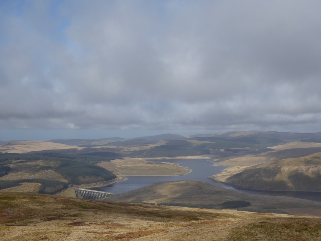
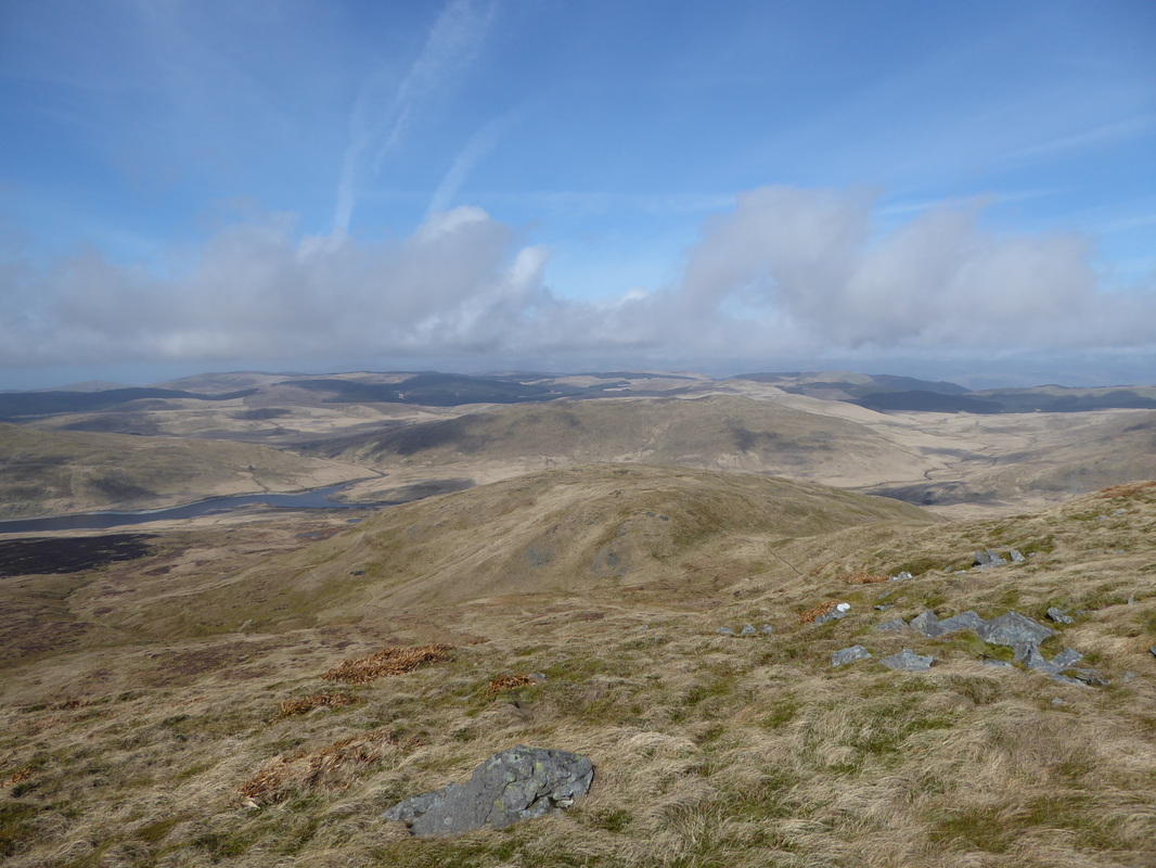
Nant y Moch Reservoir from Y Garn
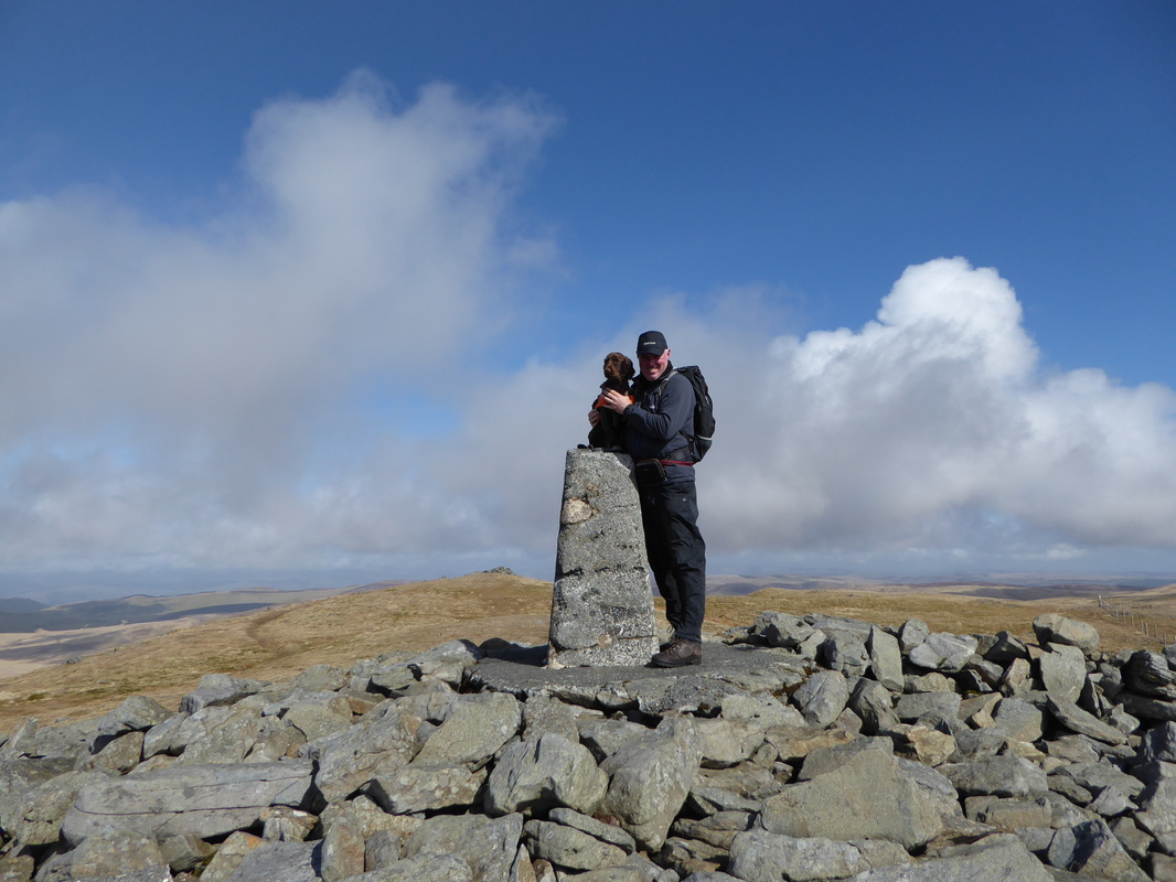
Fudge & Dave on the summit of Y Garn
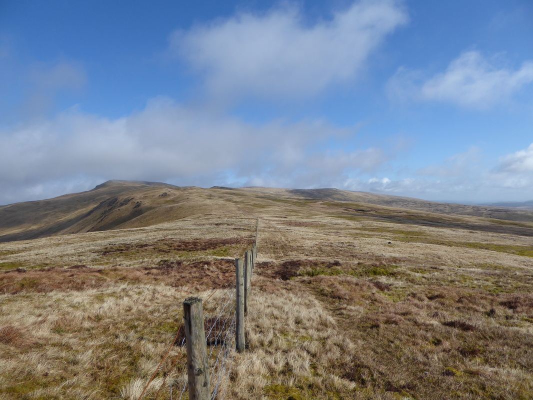
Back at the path junction and the fence that leads all the way to Pumlumon Fawr.
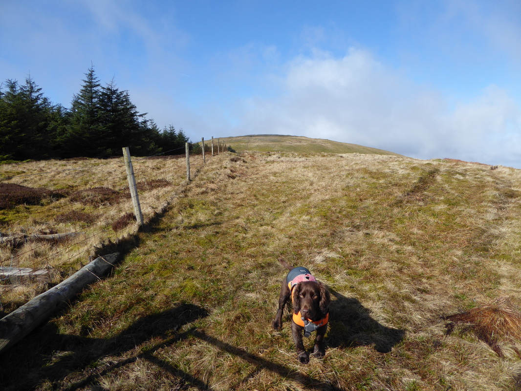
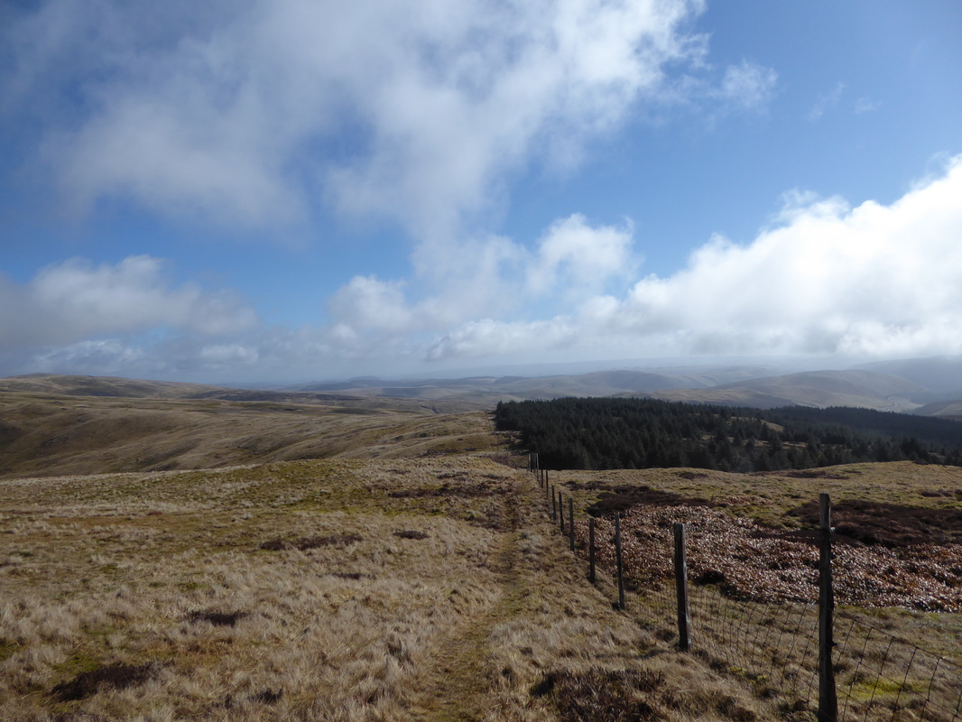
There are paths on either side of the fence however the right hand side is in better condition
There are paths on either side of the fence however the right hand side is in better condition
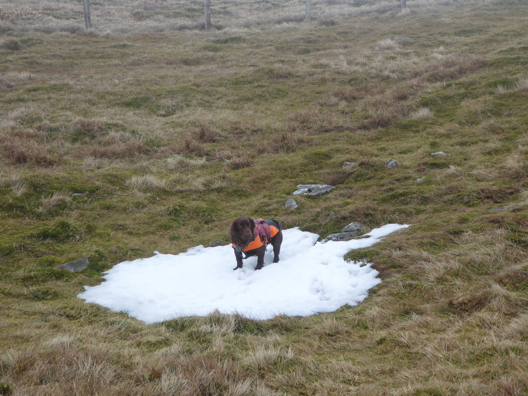
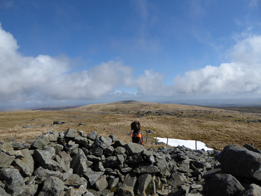
Only a few small patches of snow on the walk today - he easily found them
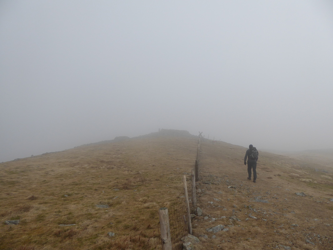
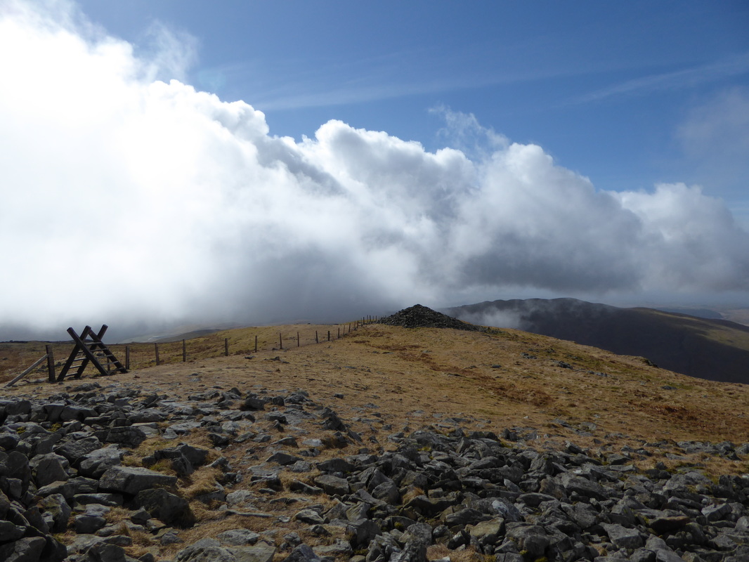
Approaching the summit of Pumlumon Fawr - the ladder stile gives access to the top. Hopefully that cloud will do one!
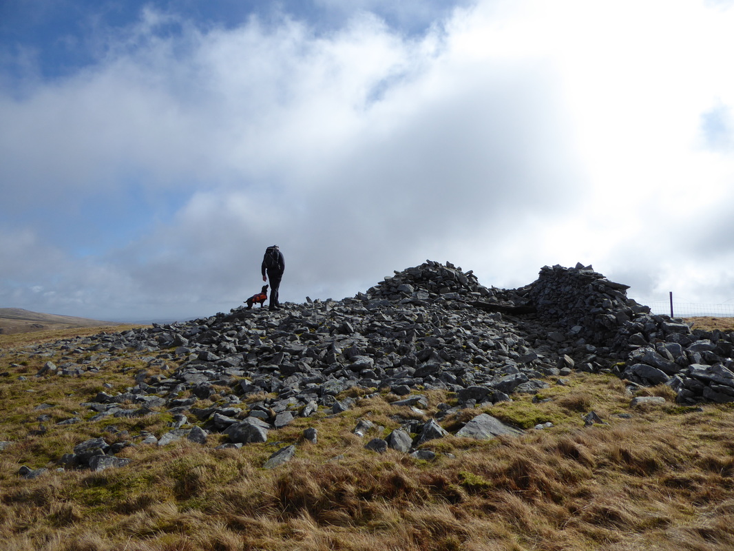
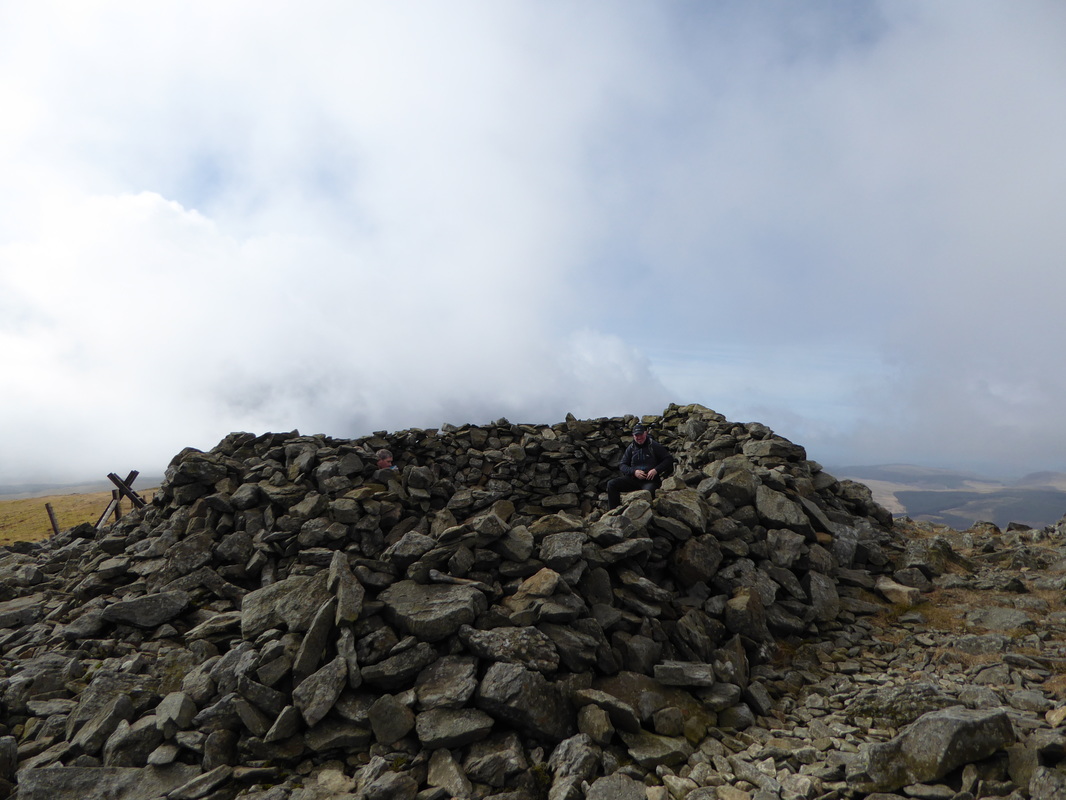
The summit shelter on Pumlumon Fawr
Looking back to our route up from Y Garn
A Pumlumon Fawr panorama
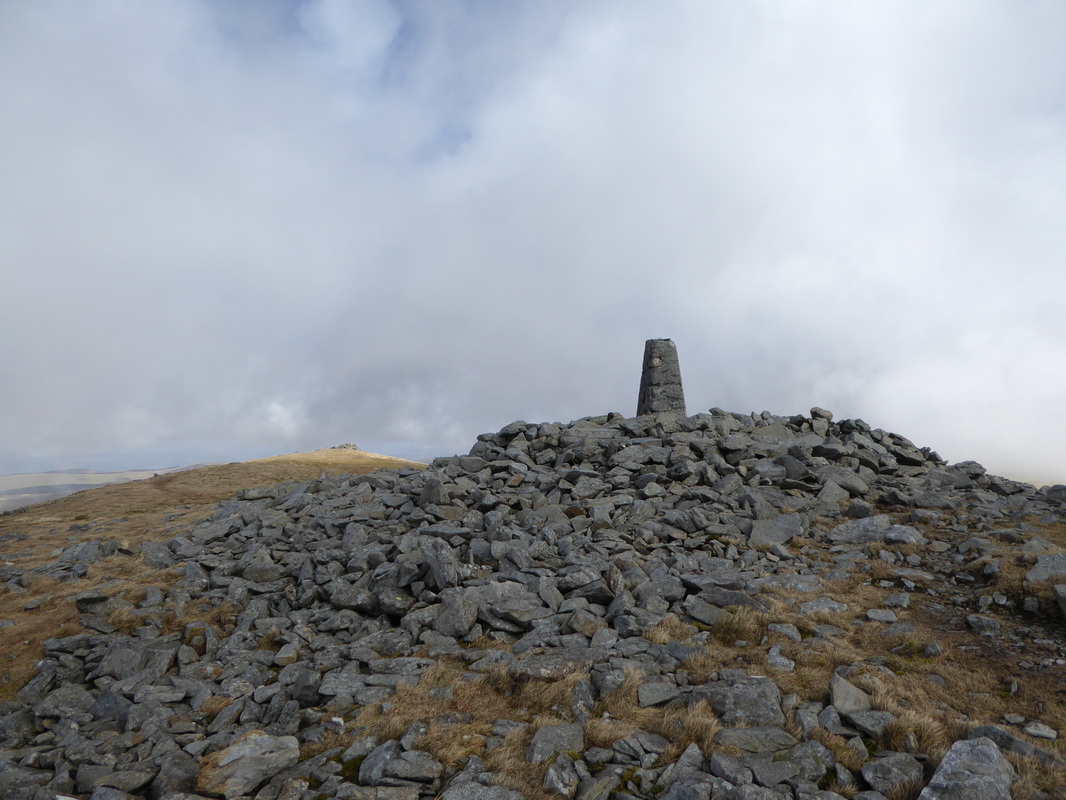
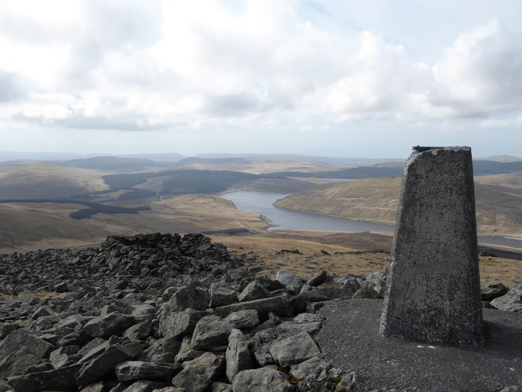
The summit of Pumlumon Fawr
He can hear a lunch box opening from 3 miles. Pumlumon Arwystli can be seen behind
Two buddies on the summit of Pumlumon Fawr
Leaving Pumlumon Fawr, the path drops down to Pumlumon Fach
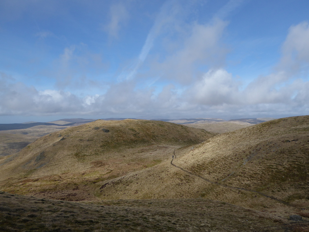
The path drops to a col (right of shot) and heads left before a short climb to the summit of Pumlumon Fach
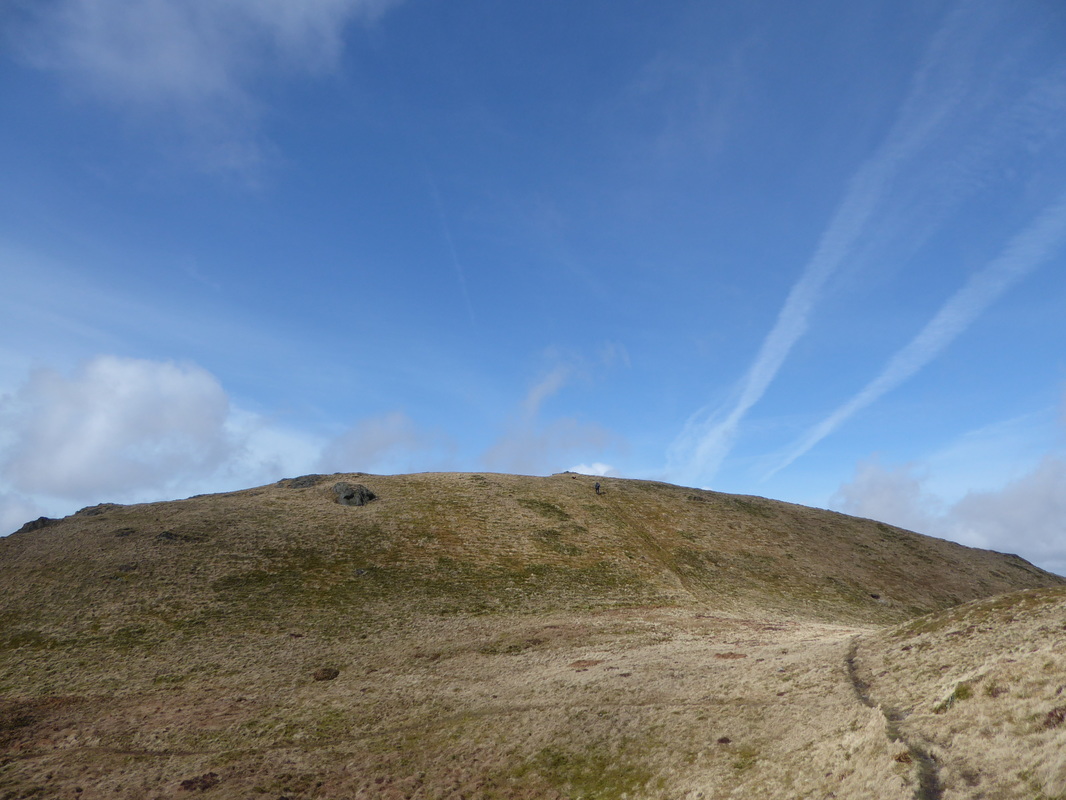
Ascending Pumlumon Fach
Pumlumon Fawr from Pumlumon Fach - our route down can clearly be seen
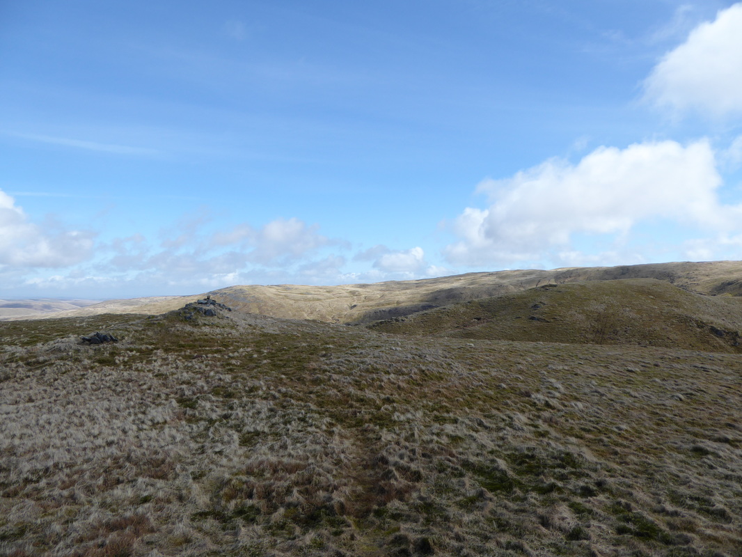
The summit of Pumlumon Fach
A Pumlumon Fawr panorama
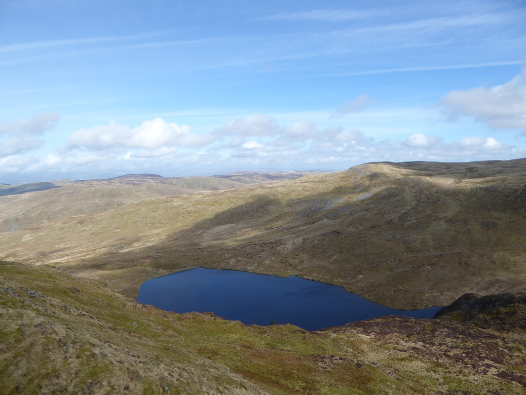
Llyn Llygad Rheidol
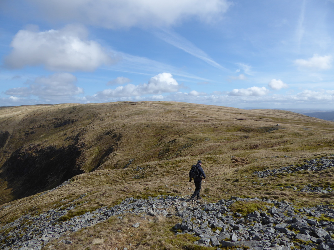
The route contours around the lower northern slopes of Pumlumon Fawr
Leaving the track to Pumlumon Arwystli to head off to a subsidiary summit of Pen Pumlumon Llygad-bychan
The subsidiary summit of Pen Pumlumon Llygad-bychan looking over to Pumlumon Arwystli
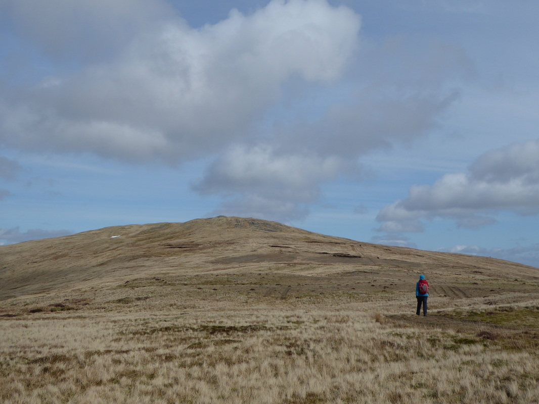
Doesn't look it but this was a good path over to Pumlumon Arwystli
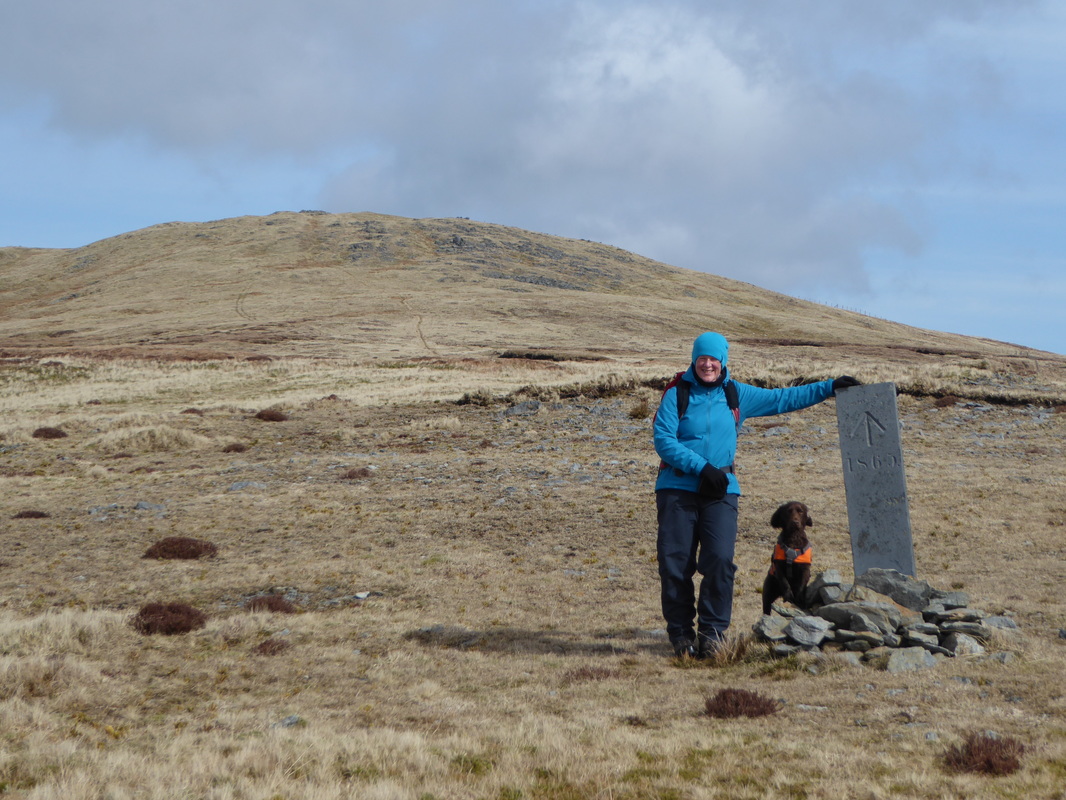
One of the many slate way marks we saw today
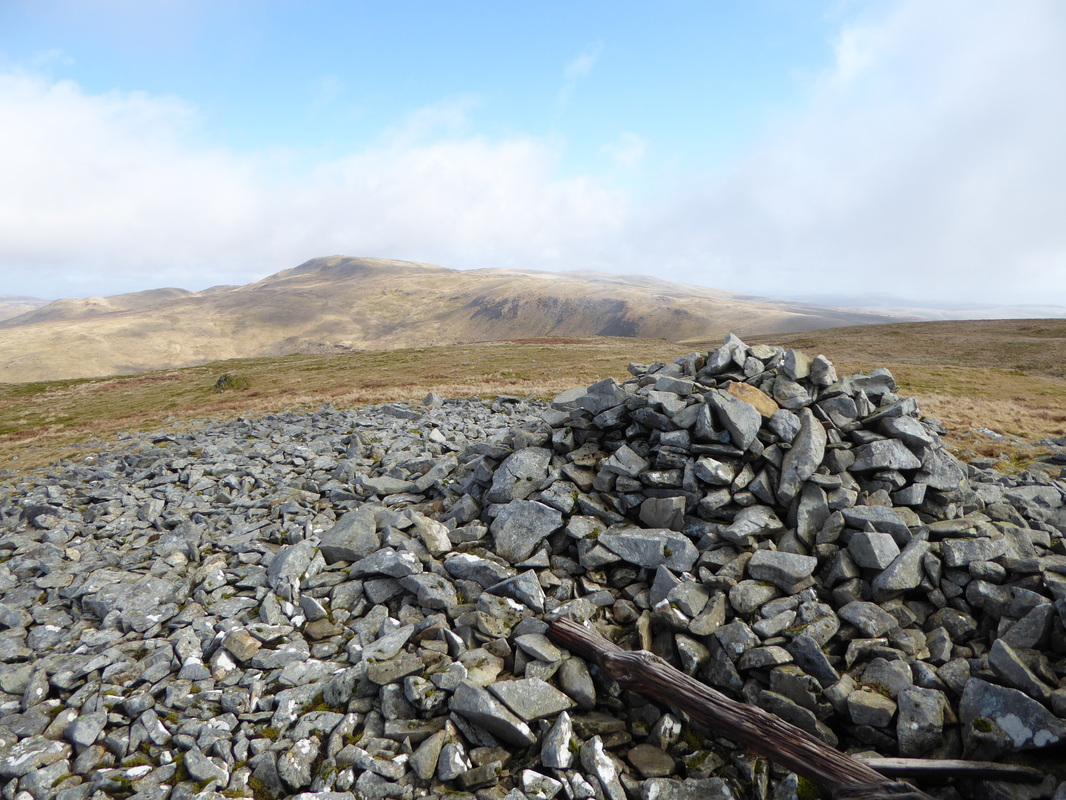
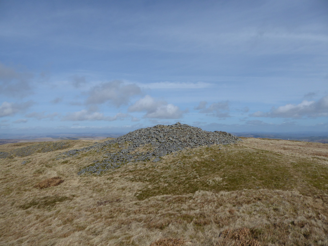
The summit of Pumlumon Arwystli
Back for another visit to Pumlumon Fawr
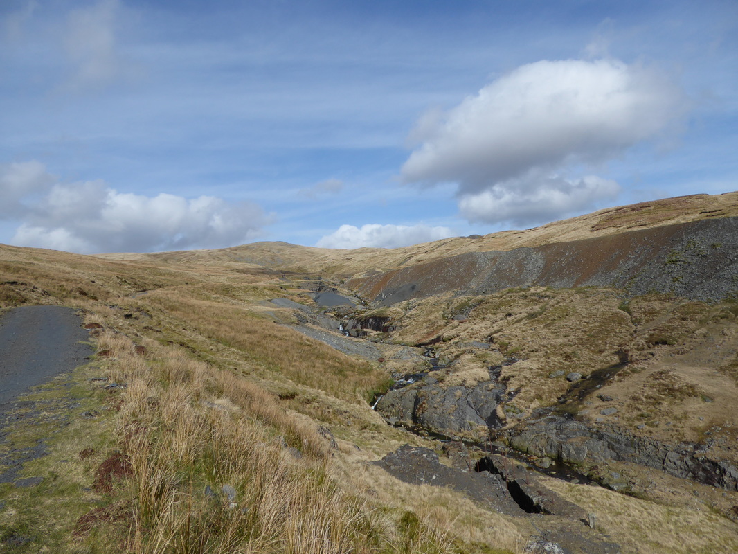
The disused mine workings on the return journey
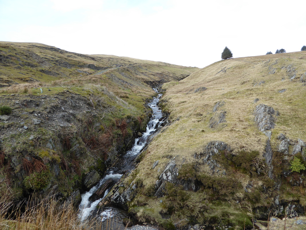
The cascading waters of Afon Tarennig near Eisteddfa Gurig
