Glenridding Dodd, Sheffield Pike & Stybarrow Dodd - Saturday 13 November 2021
Route
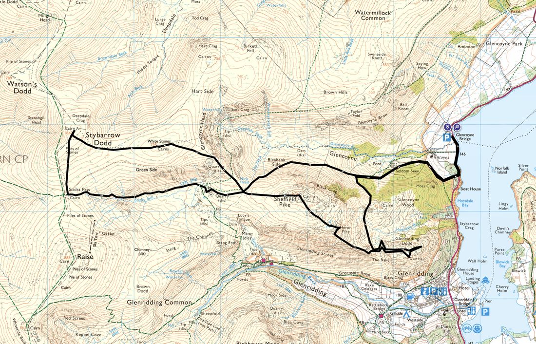
Glencoyne Bay - Seldom Seen - Glenridding Dodd - Heron Pike - Sheffield Pike - Nick Head - Green Side (White Stones) - Stybarrow Dodd - Sticks Pass - Greenside Mine - Nick Head - Bleabank Side - Glencoyne - Seldom Seen - Glencoyne Bay
Parking
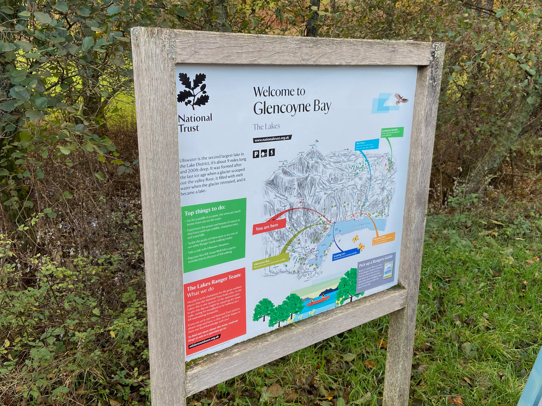
The National Trust Car Park at Glencoyne Bay (Charge if not a NT member). The Grid Reference is NY 38674 18882 and the nearest postcode is CA11 0NQ.
Mileage
10 miles
Terrain
Good mountain paths throughout. Care needs to be taken during peak times crossing the A592 which is done twice during the first 1/4 mile of the walk.
Weather
Perfect - blue skies, sunshine and not a breath of wind.
Time Taken
6hrs 35mins
Total Ascent
3270ft (997m)
Wainwrights
3
Map
OL5 - The English Lakes (North Eastern Area)
Walkers
Dave, Angie & Fudge
|
GPX File
|
| ||
If the above GPX file fails to download or presents itself as an XML file once downloaded then please feel free to contact me and I will send you the GPX file via e-mail.
Route Map
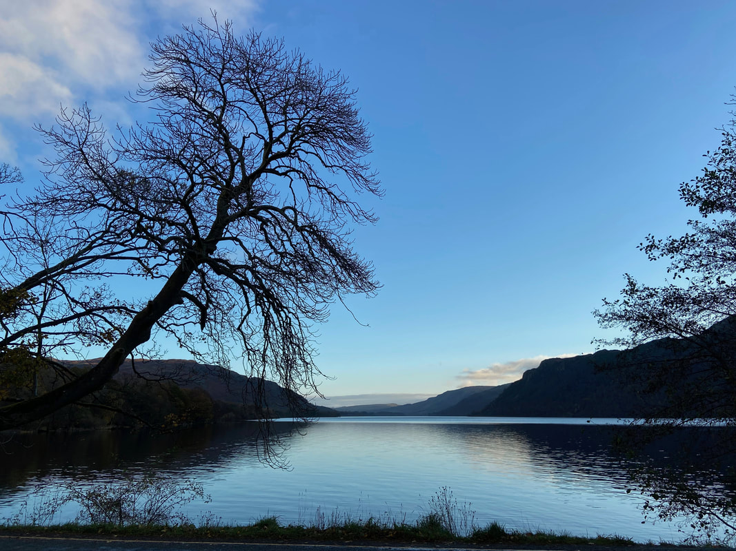
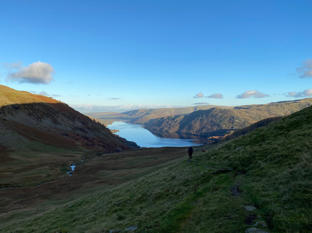
Early morning looking down Ullswater towards Pooley Bridge from Glencoyne Bay
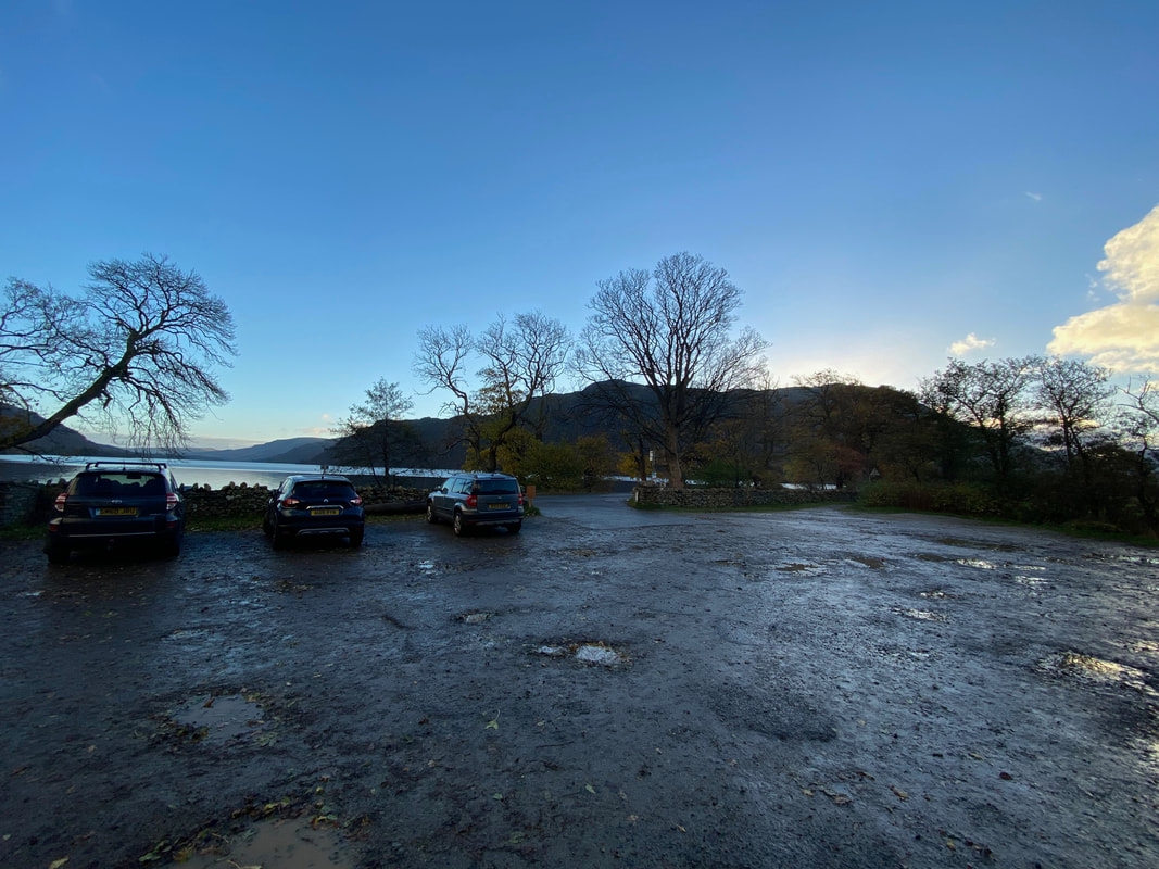
The National Trust Car Park at Glencoyne Bay. At weekends this Car Park fills up very quickly with Campervans, Wild Swimmers and Paddle Boarders therefore at busy times it is best to arrive early.
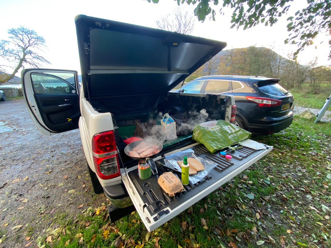
Having arrived early it was time to set up "Walshy's Kitchen" and make some pre walk Bacon & Egg Sarnies - and very nice they were too.
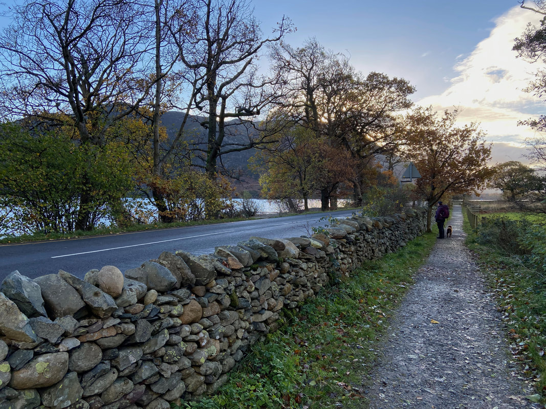
From the Car Park the walk heads out on a path alongside the A592 in the direction of Glenridding
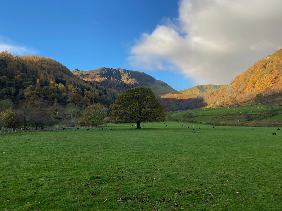
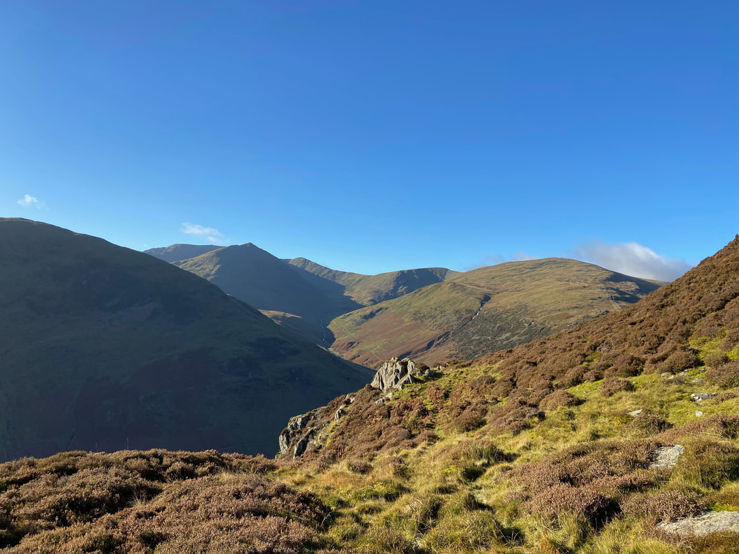
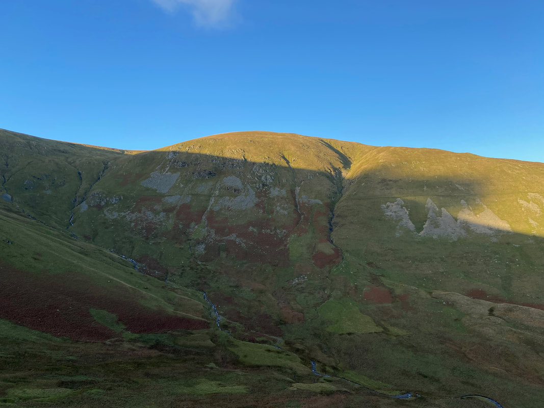
Looking into Glencoyne from the roadside path with Sheffield Pike to the left and Glencoyne Head right of centre
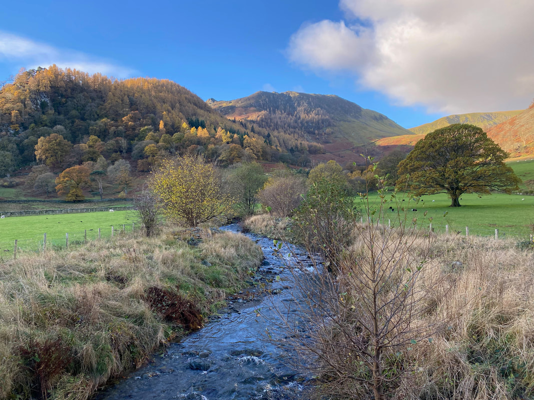
Crossing Glencoyne Beck via Glencoyne Bridge
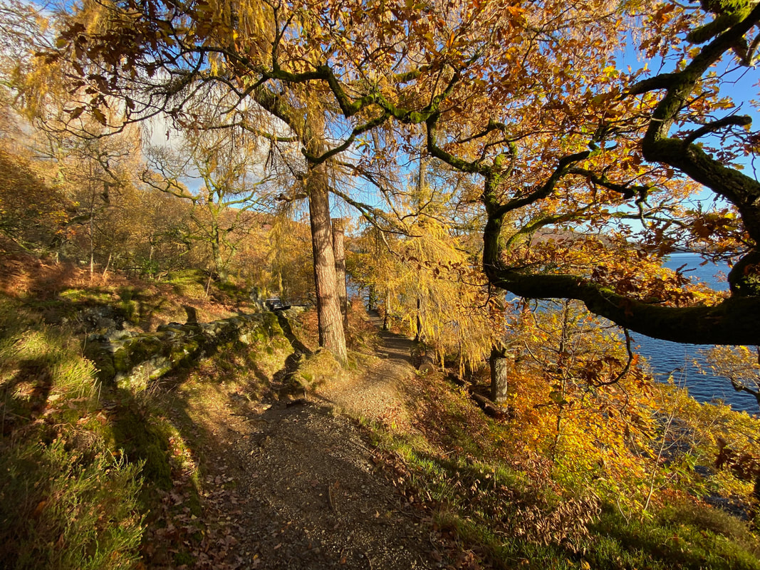
After crossing the A592 for the first time, the route heads along the Ullswater lakeshore path - the autumn colours were just beautiful
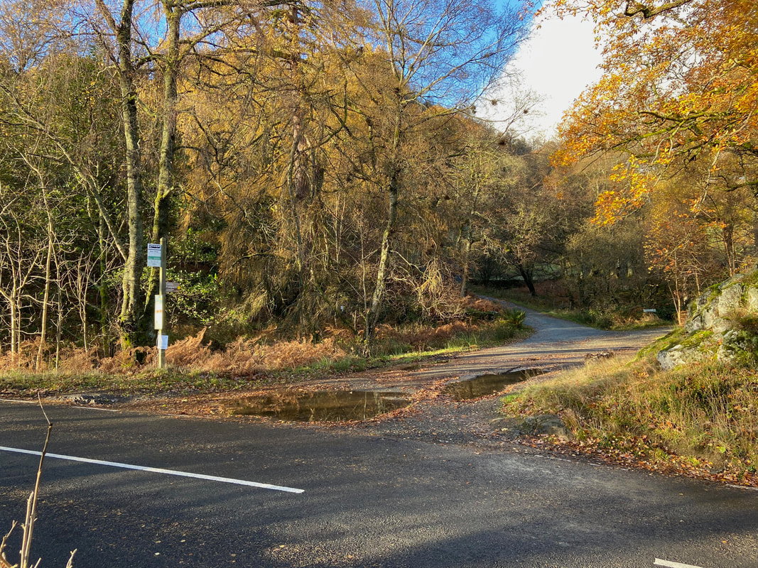
Time to cross the A592 for the second time. The path across the road heads for Seldom Seen.
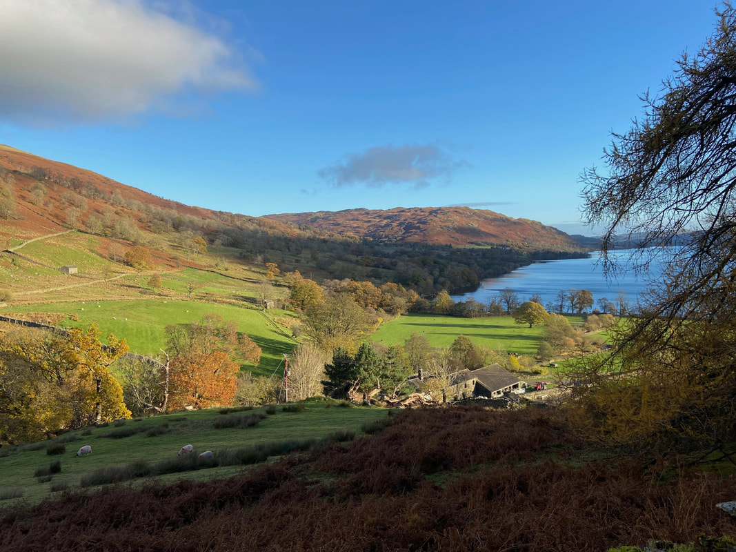
Looking back towards Glencoyne Farm, Gowbarrow Fell & Ullswater from the Seldom Seen path
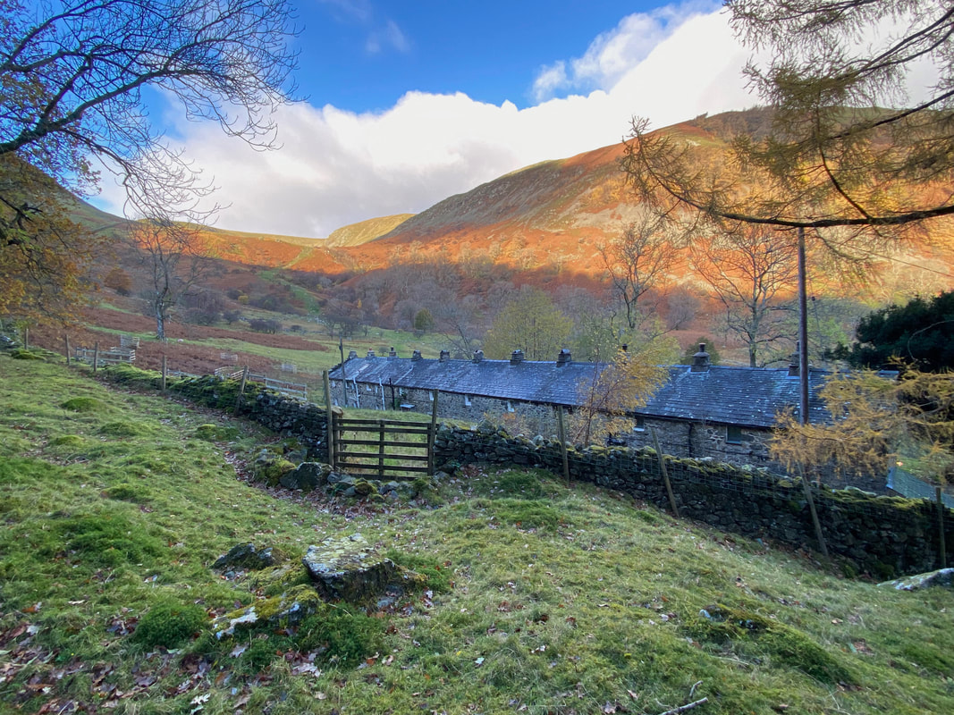
The 10 cottages of Seldom Seen - these were originally occupied by miners from the nearby Greenside Mine
From Seldom Seen the route heads up on a rough path at the side of Glencoyne Wood
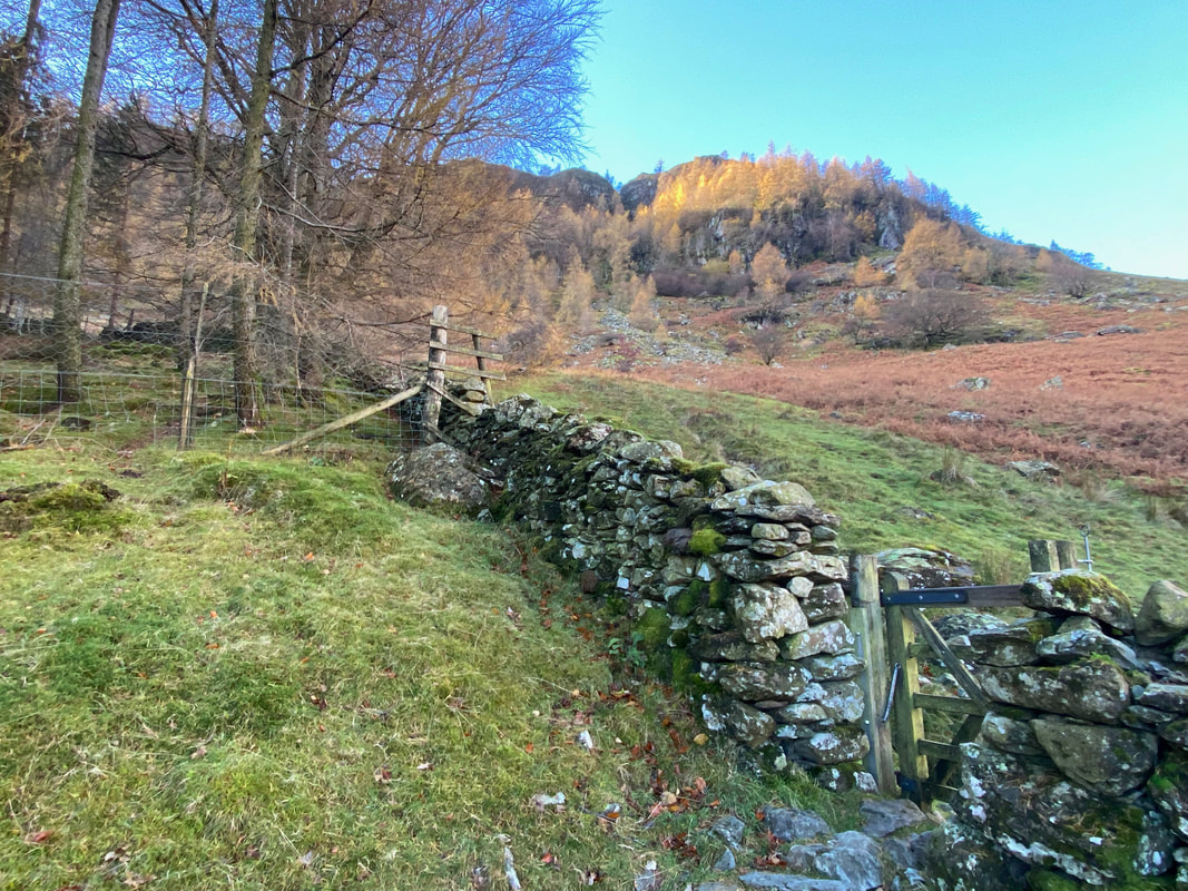
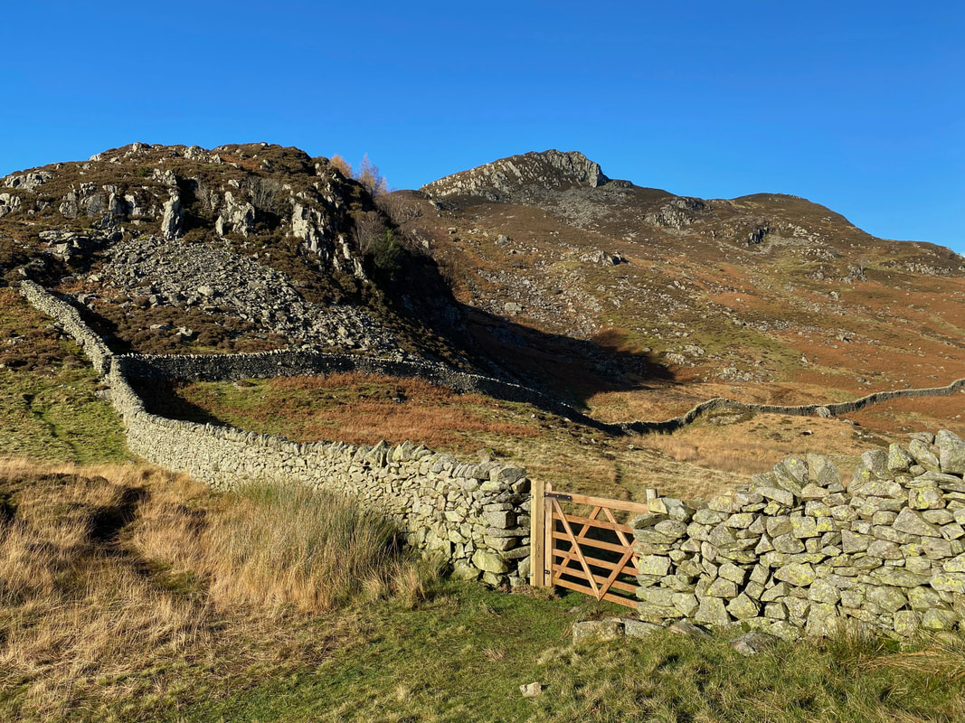
Reaching a hand gate the path heads straight on towards Nick Head and this would be our return route. Our outward route would see us turning immediately left through the gate to handrail the wall enclosing Glencoyne Wood.
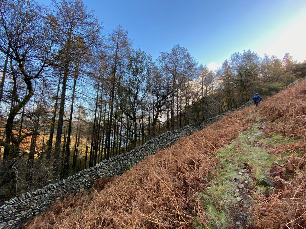
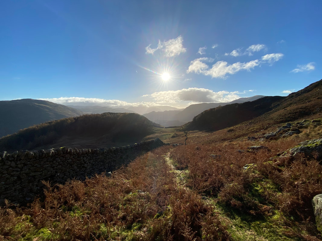
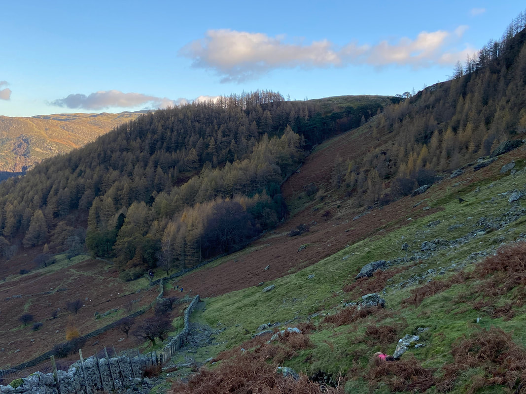
Heading up the path alongside the wall with Glencoyne Wood to the right
The path from the hand gate alongside the wall is extremely steep but the going is pretty good
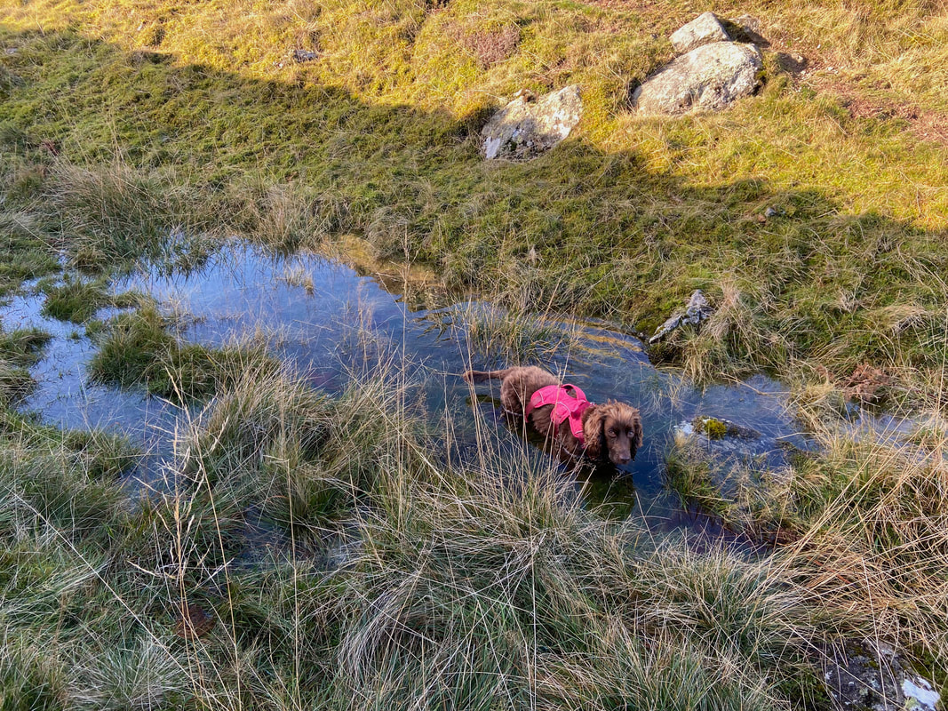
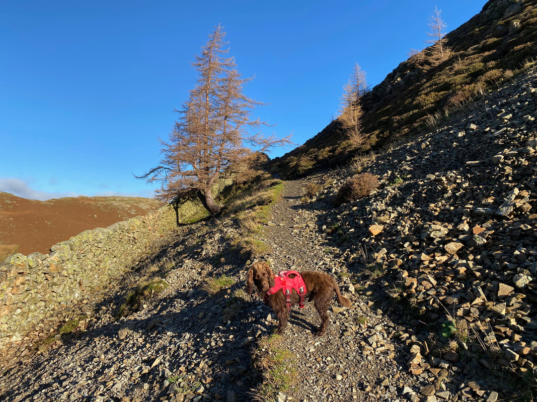
If there is water about he will be in it
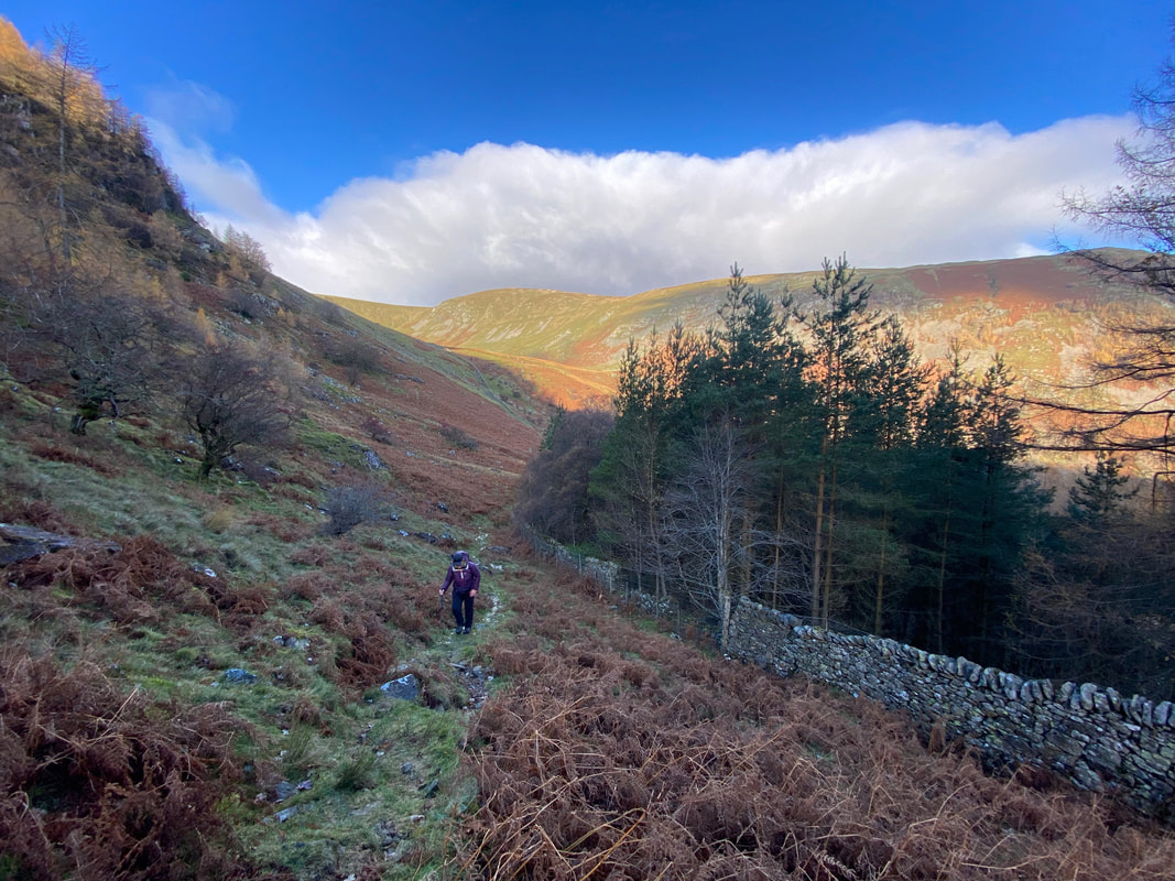
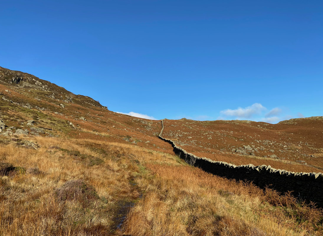
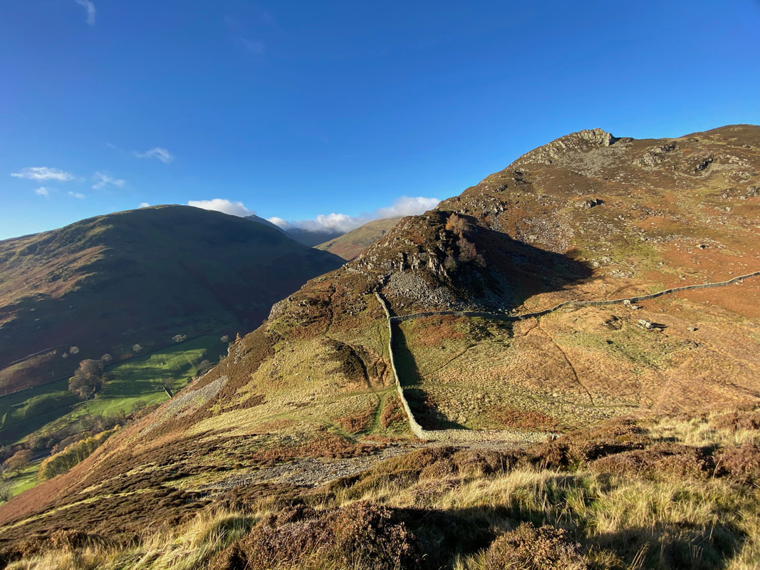
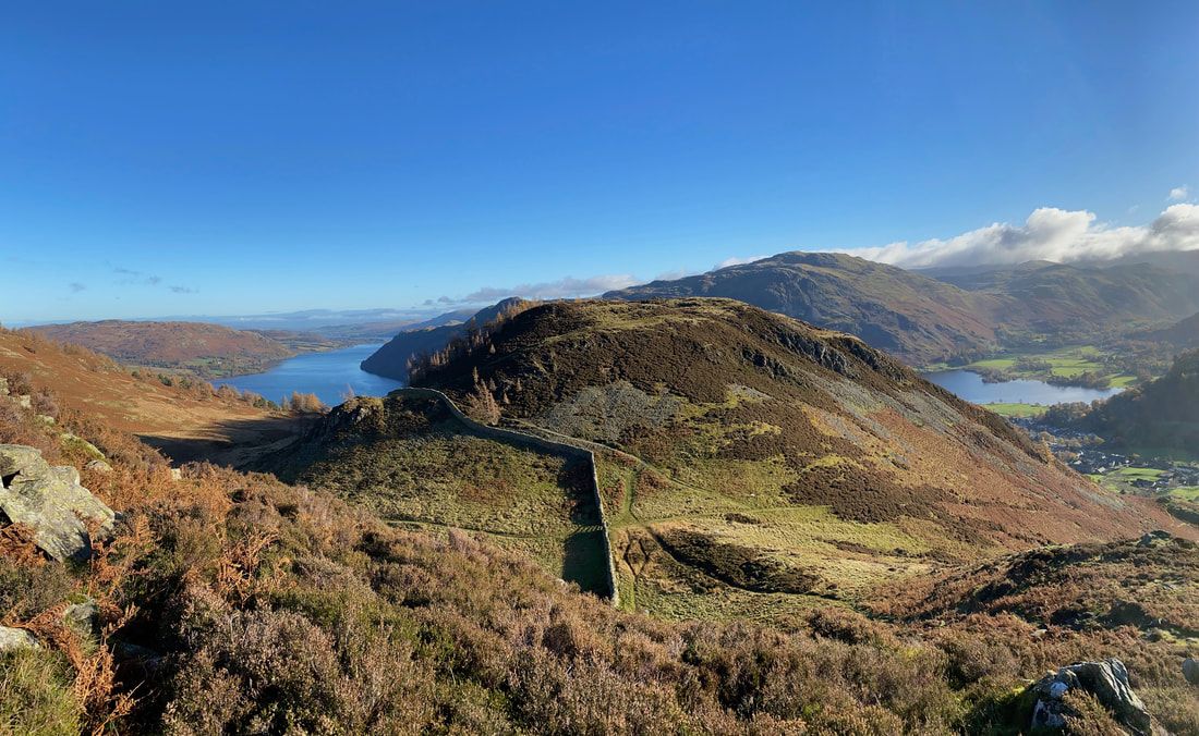
After the steep climb, thankfully the gradient relented and flattened out as we continued to follow the wall. Ahead is the col between Glenridding Dodd on the left and the slopes of Heron Pike to the right.
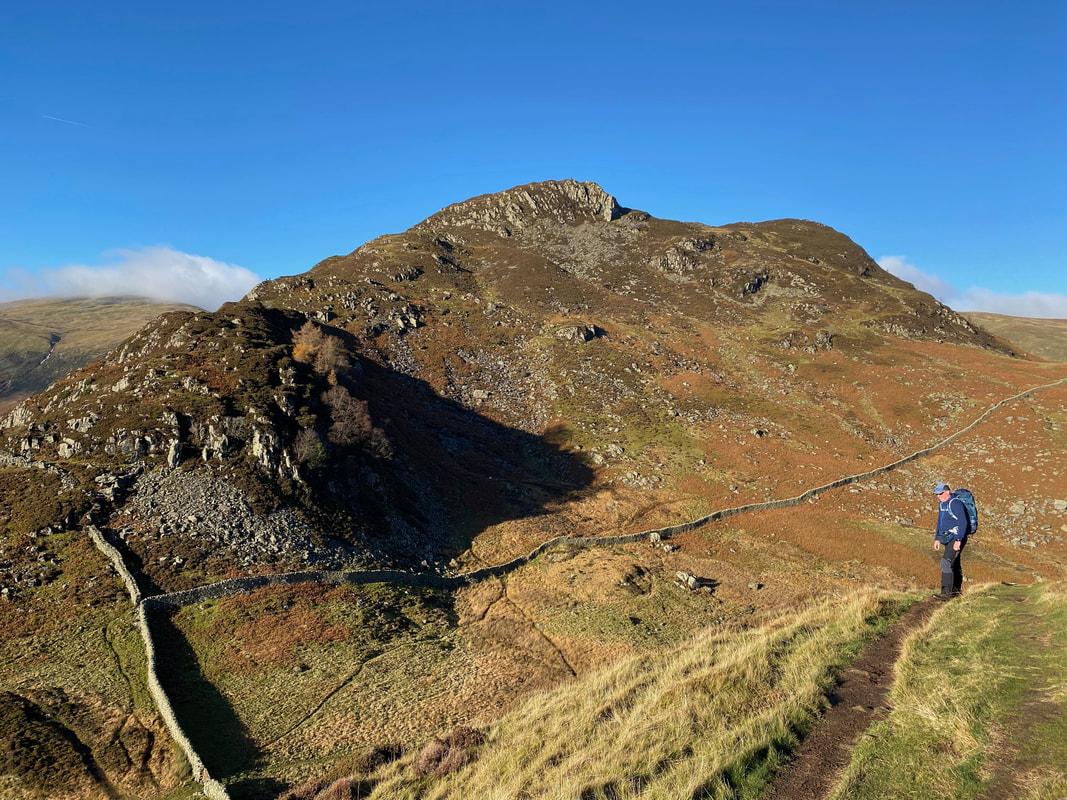
Looking back to our transit alongside the wall
Reaching the end of the wall we turned left to begin the climb up Glenridding Dodd
Looking to Heron Pike from the start of the path to Glenridding Dodd with the wall we followed up from Seldom Seen coming in from right to left. Through the gate is the path back down to Ullswater via Mossdale Beck - to the left and out of shot is the route down to Glenridding via a path known as The Rake.
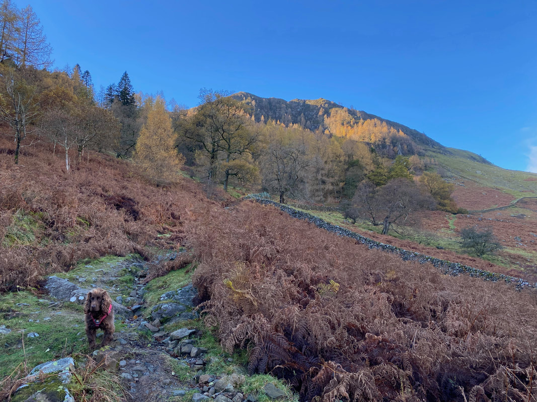
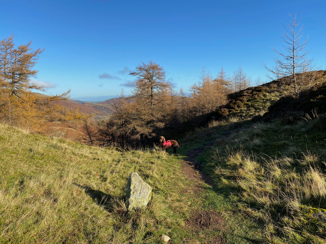
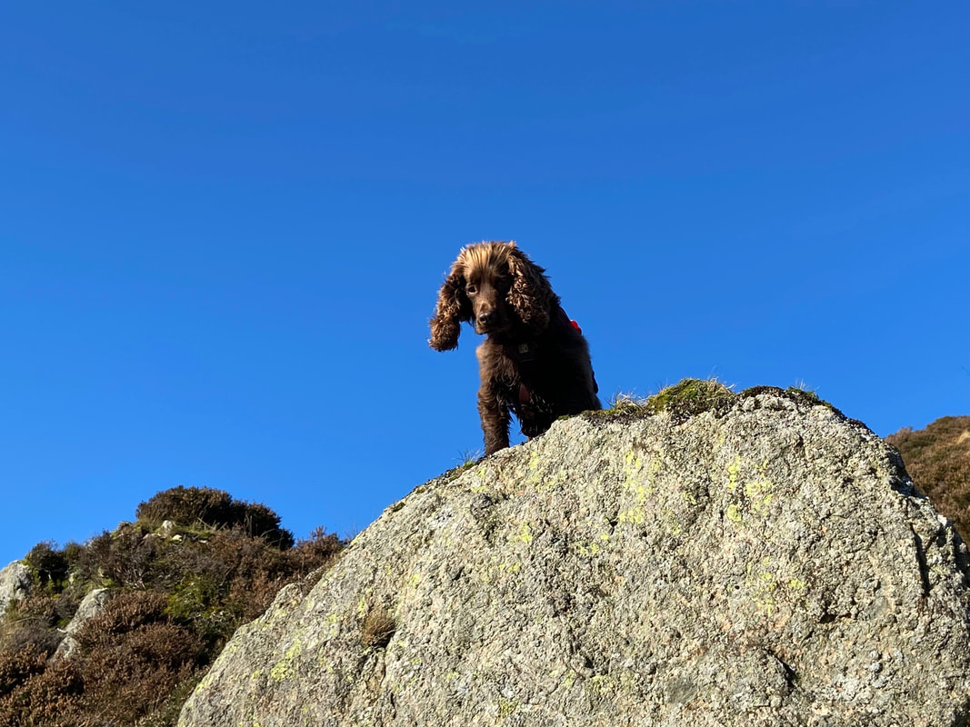
Fudge looks at me quizzically as we start the zig zag climb to Glenridding Dodd
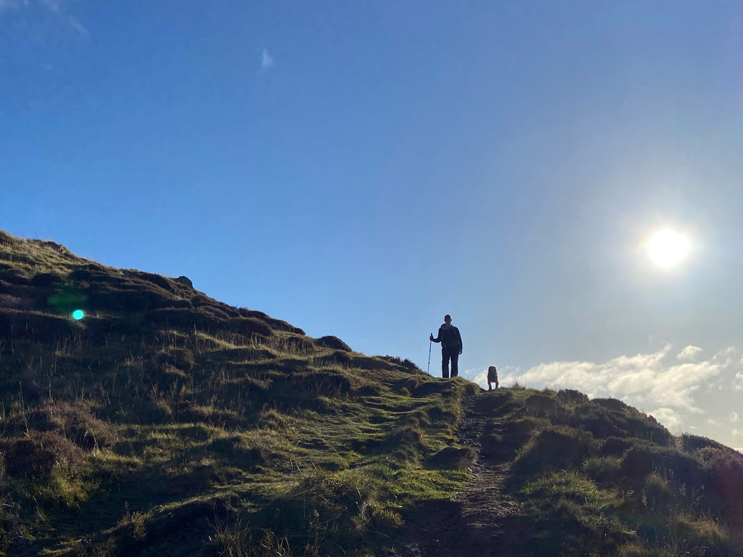
A silhouetted Fudge and his Mum
Heron Pike from the Glenridding Dodd ascent
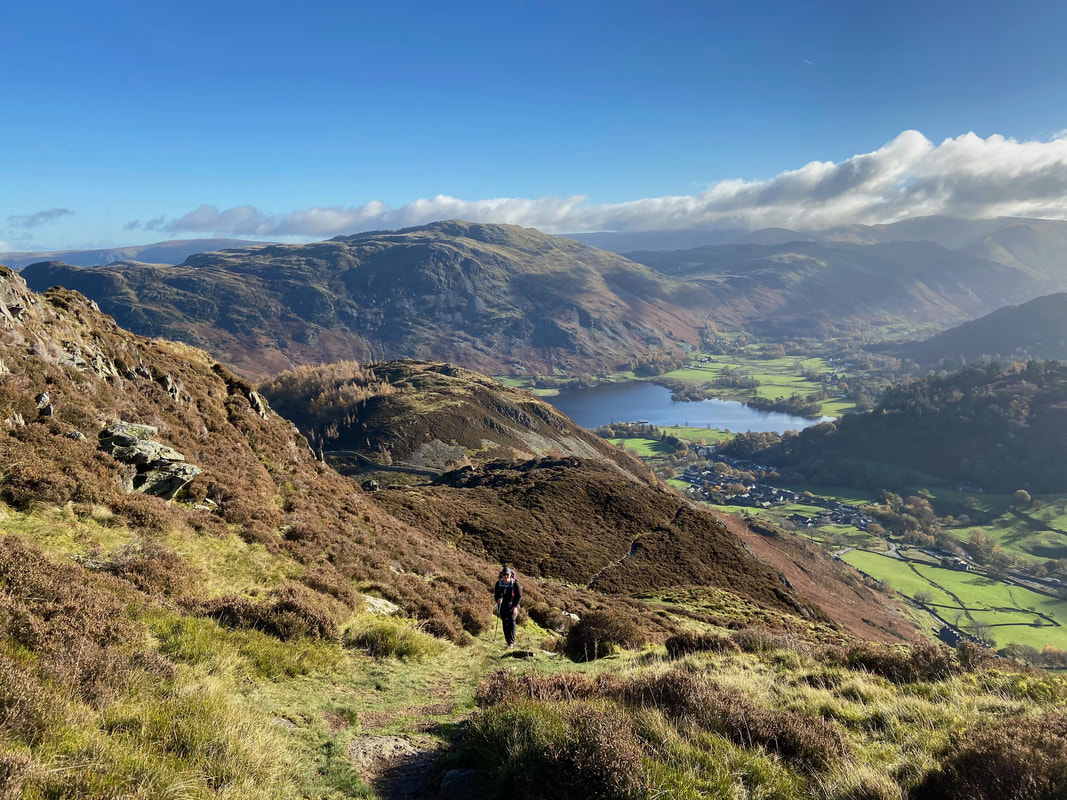
Nearing the summit of Glenridding Dodd the views start to really open out. To the left is Birkhouse Moor with Catstycam just about peeping out and the slopes of Raise in the centre.
Almost there now Fudge, not far to go now
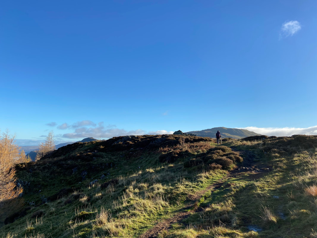
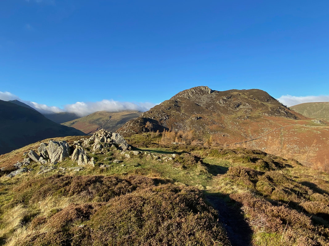
As the path levels out, the summit of Glenridding Dodd comes into view
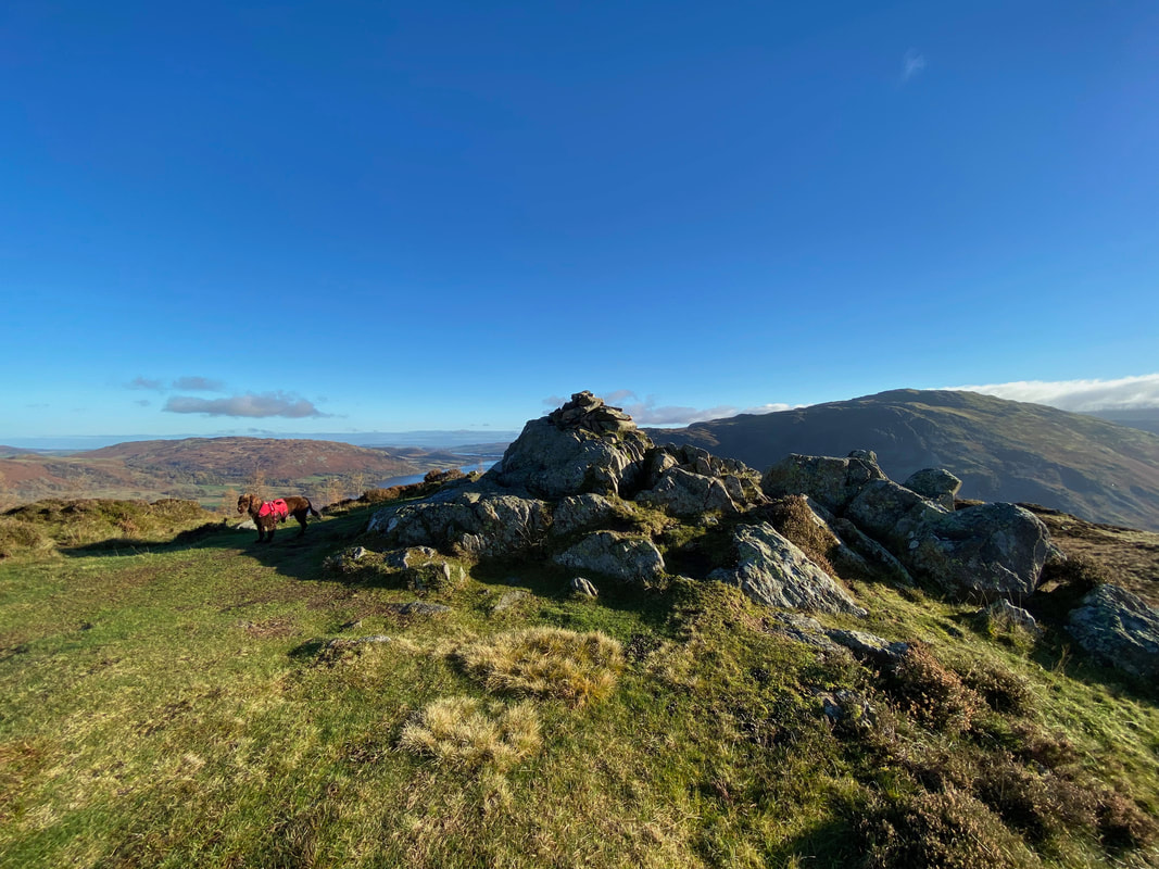
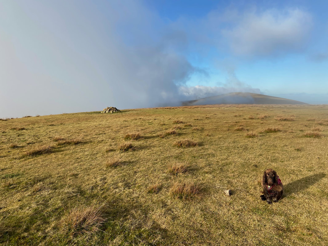
The summit of Glenridding Dodd
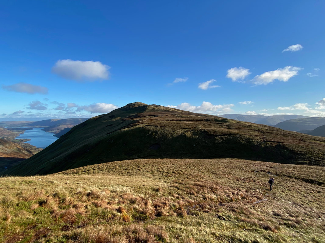
The summit of Glenridding Dodd looking to Heron Pike & Sheffield Pike
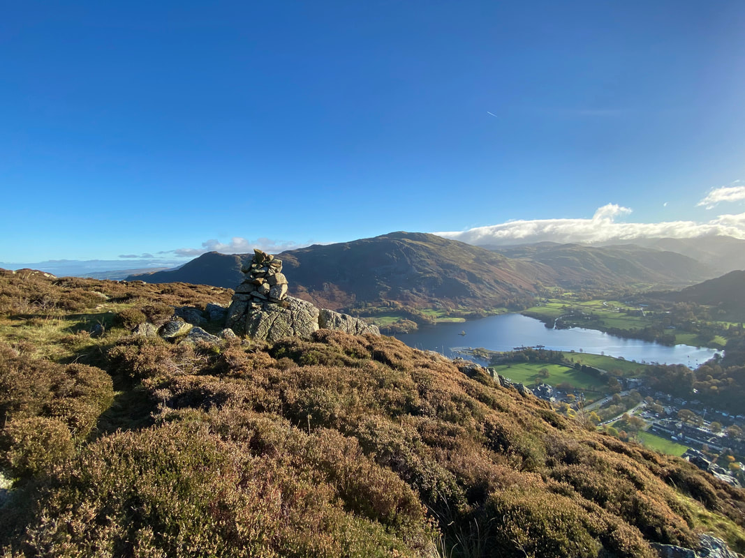
It is always worth having a little explore of the summit of any fell and a quick wander to the east revealed a lovely view down to Glenridding, Ullswater and over to Place Fell.
Ullswater with one of the Steamers making its way back from Howtown & Pooley Bridge
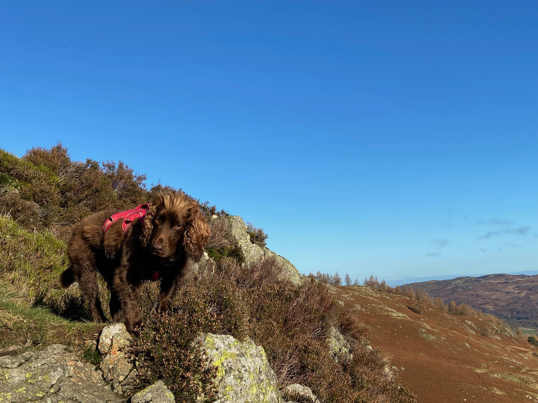
I think this look from Fudge was a gentle reminder that whilst he was having a great time, he hadn't eaten for at least 20 minutes
Glenridding Dodd & Ullswater from the ascent of Heron Pike - the fell to the rear is Place Fell
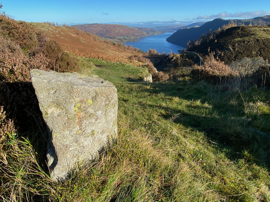
The route passes an old boundary stone as it continues the climb to Heron Pike
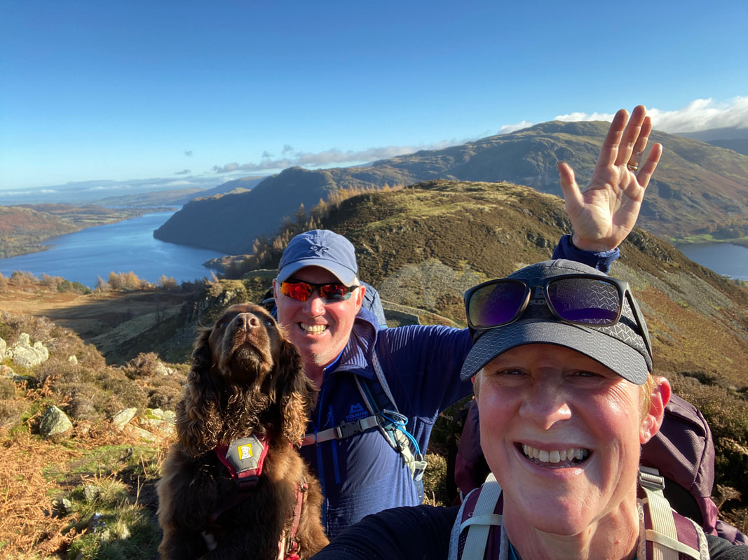
A family selfie as we ascend Heron Pike - as usual Fudge wasn't too impressed with having his photo taken
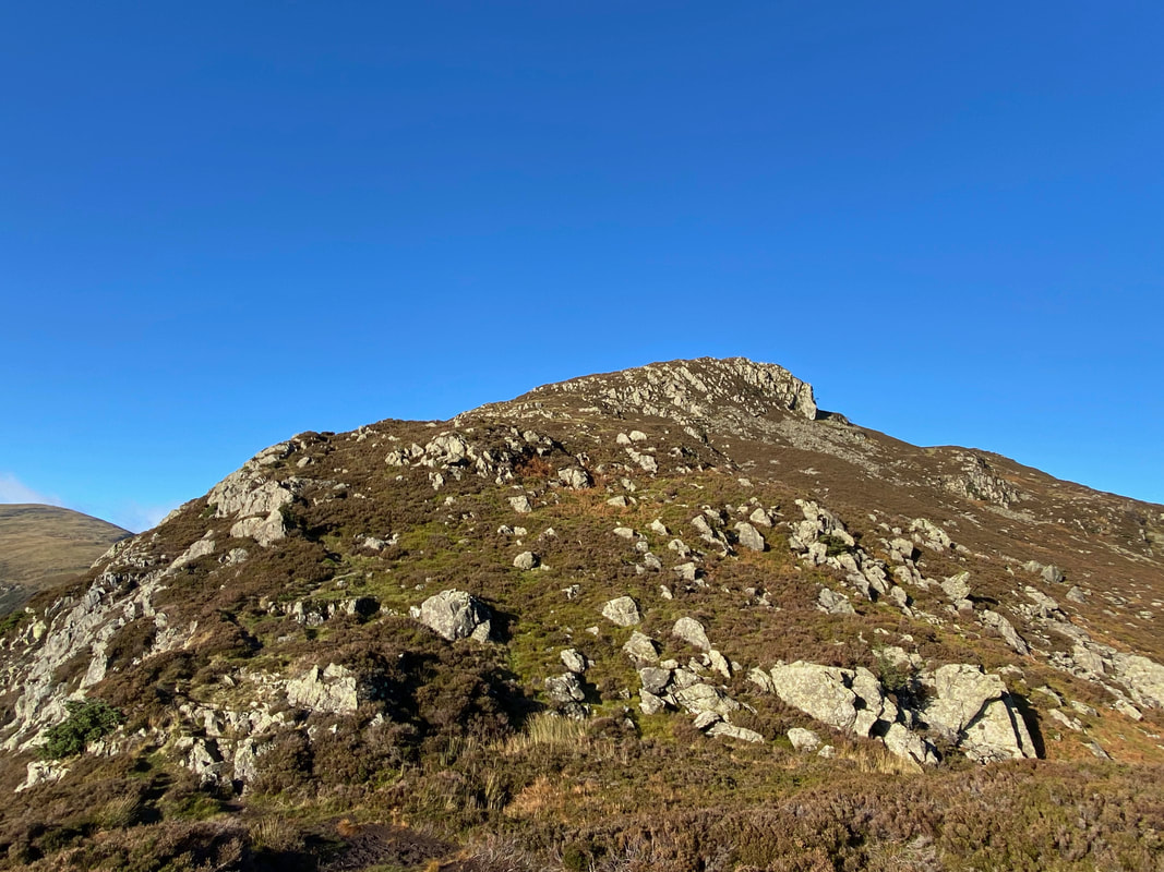
The final rocky ascent to the summit of Heron Pike
Birkhouse Moor, Helvellyn, Catstycam, Lower Man, White Side & Raise from Heron Pike
The views from the ascent are just glorious
Ascending Heron Pike (Click Play to view)
As usual Fudge was ahead of the game and sometimes mocked our progress up the fell side
The summit of Heron Pike
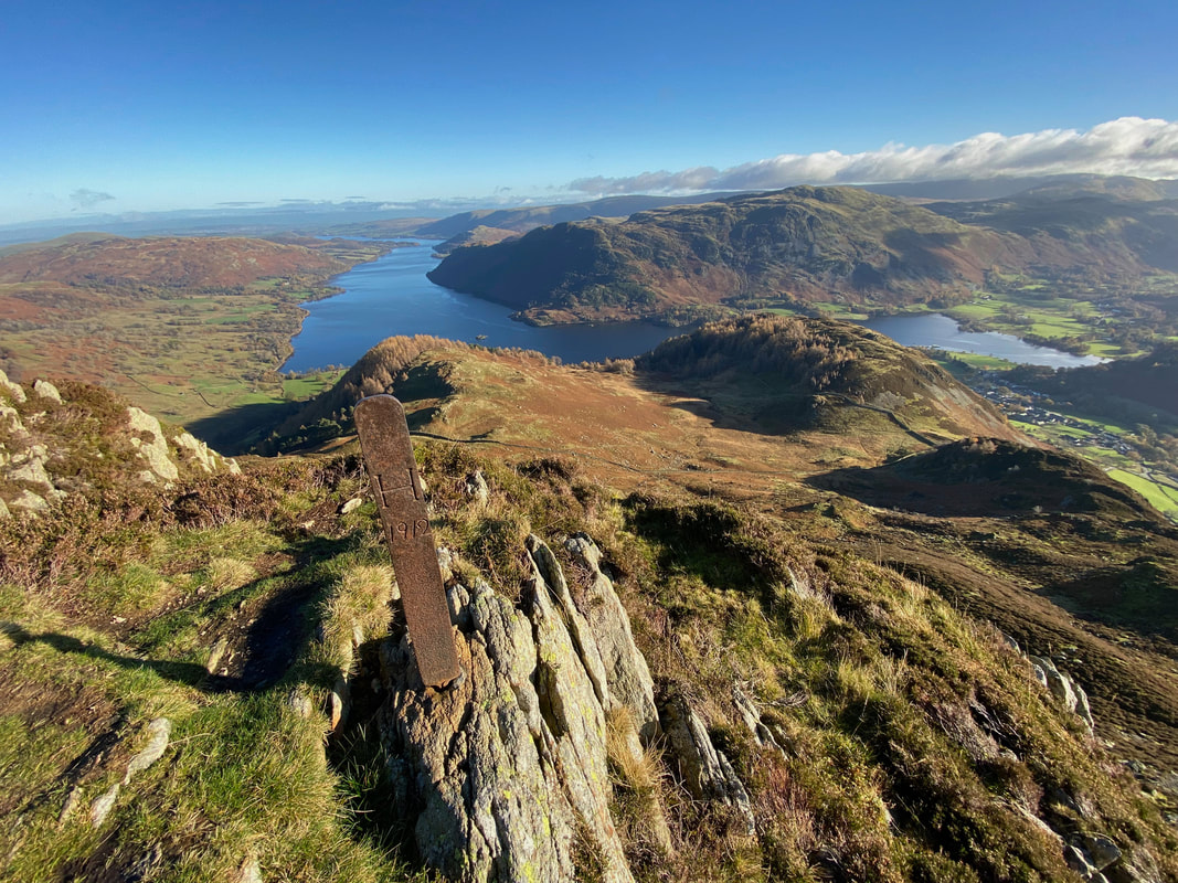
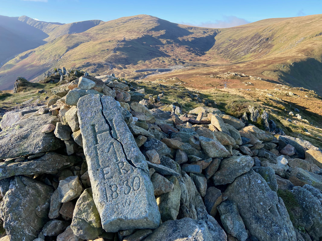
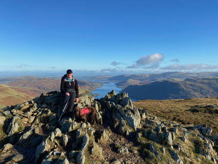
One of two iron boundary markers in the vicinity inscribed “H 1912” on one side and “M 1912” on the other. These mark the boundary between the Howard estate of Greystoke and the Marshall estate of Patterdale. The summit cairn on Sheffield Pike also carries an old stone boundary marker with the H and M initials as well as ER and the date 1830 (see picture below)
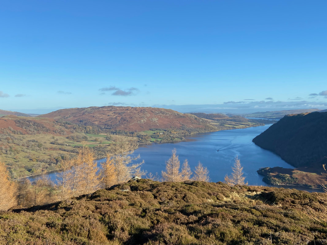
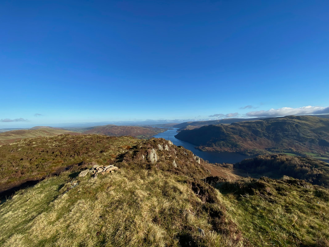
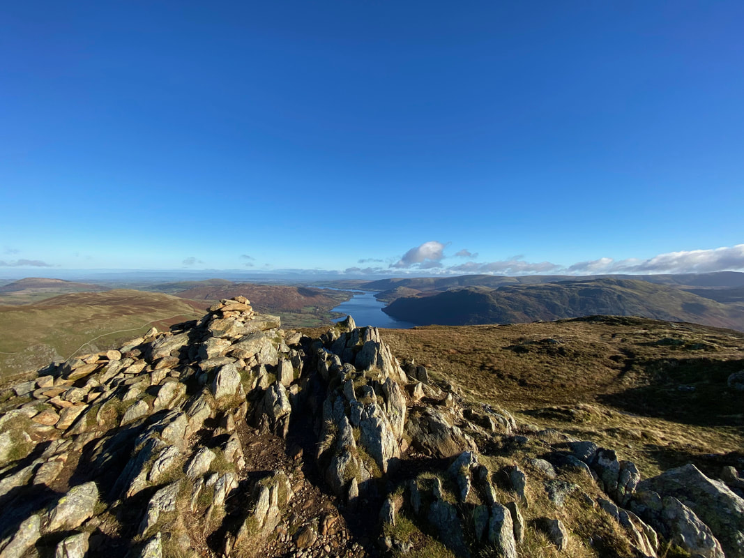
Looking down Ullswater from the summit of Sheffield Pike
Photos taken 12 years apart - I don't think she has changed that much
Descending Sheffield Pike to Nick Head with our next ascent to Green Side ahead
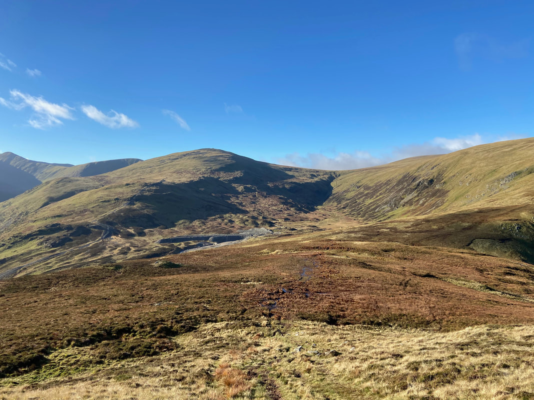
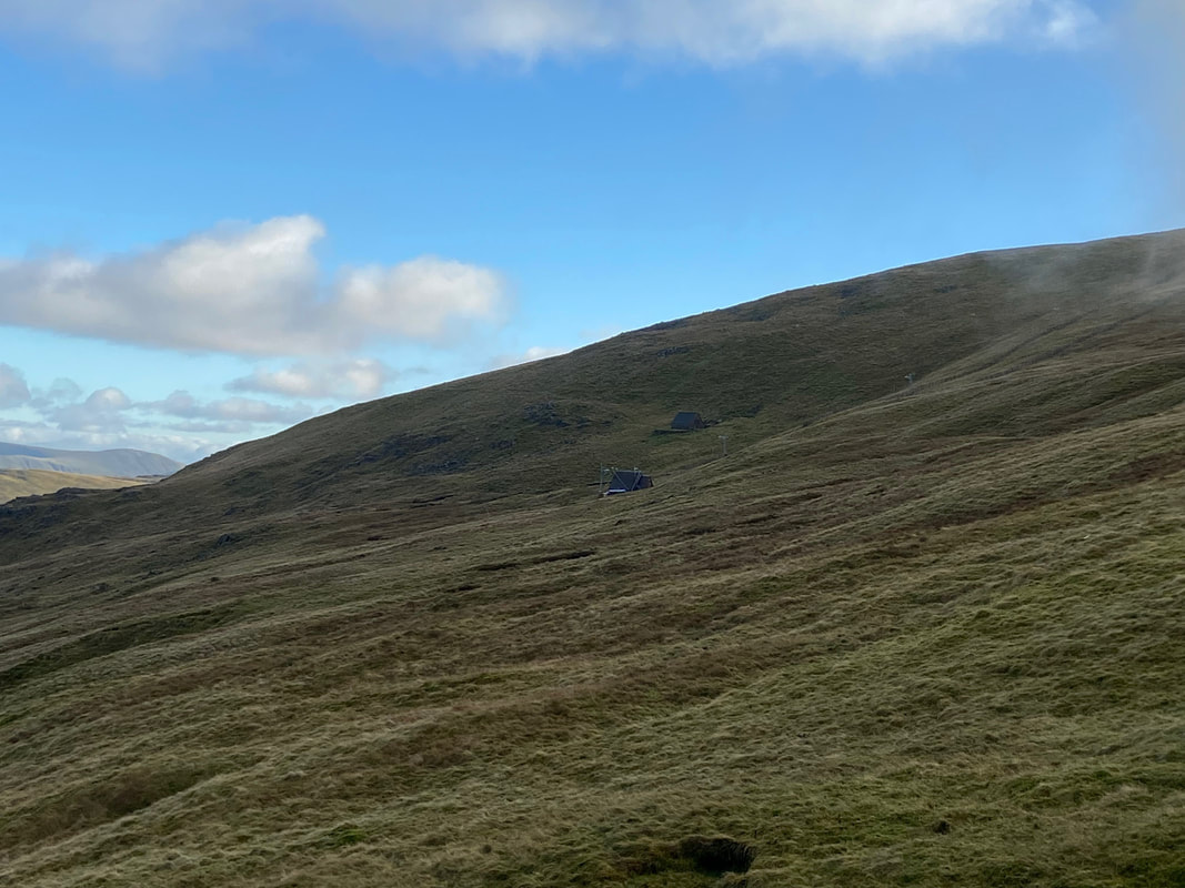
Looking to Raise with the ruins of the Greenside Mines below. Our return route via the Sticks Pass is ahead to the right.
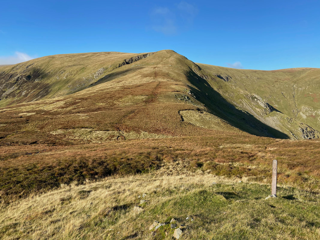
Nick Head with another boundary marker post. It was now time to make the steep ascent up to Green Side.
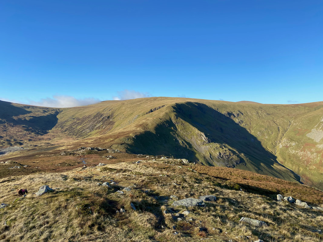
Sheffield Pike from the ascent to Green Side
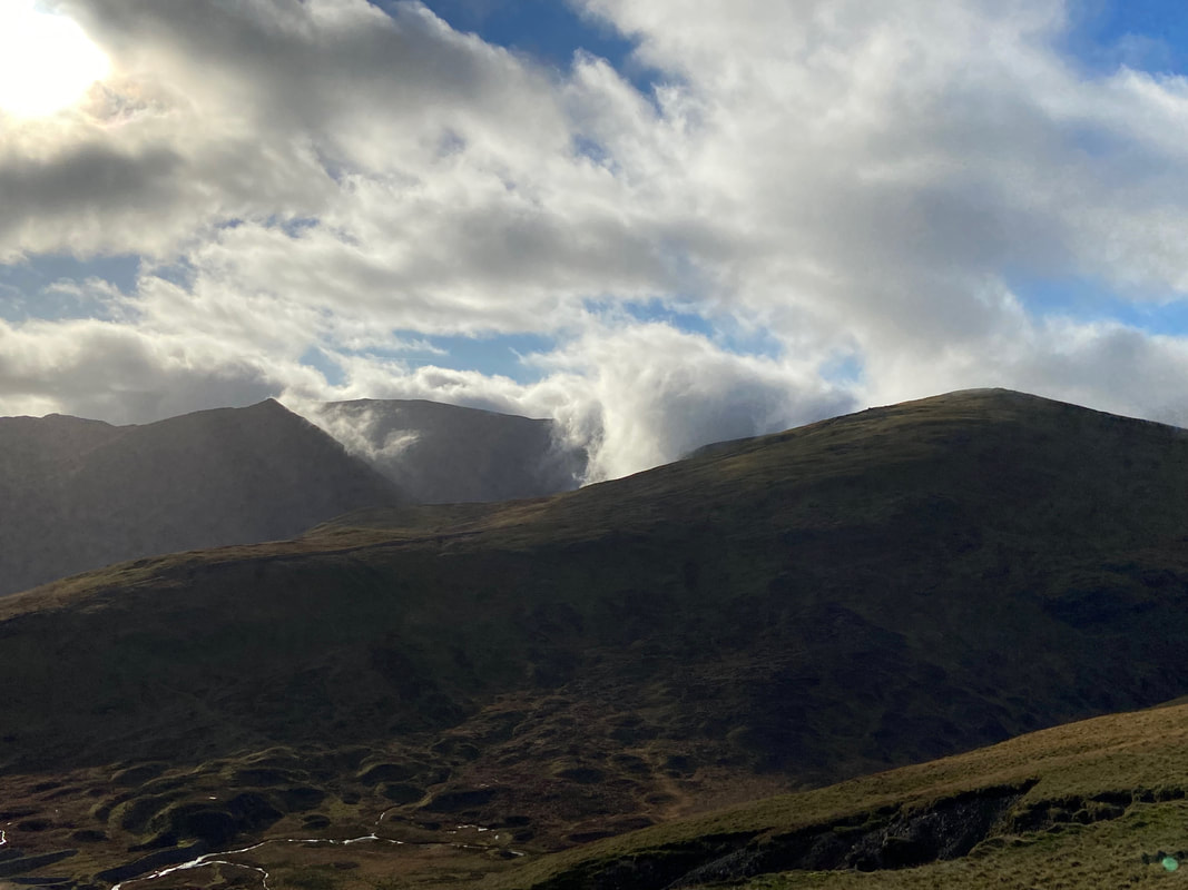
The cloud rolls in over Helvellyn on its way to the pointed tip of Catstycam. The huge bulk of Raise is in the foreground with the prominent Chimney running up the crest of the fell.
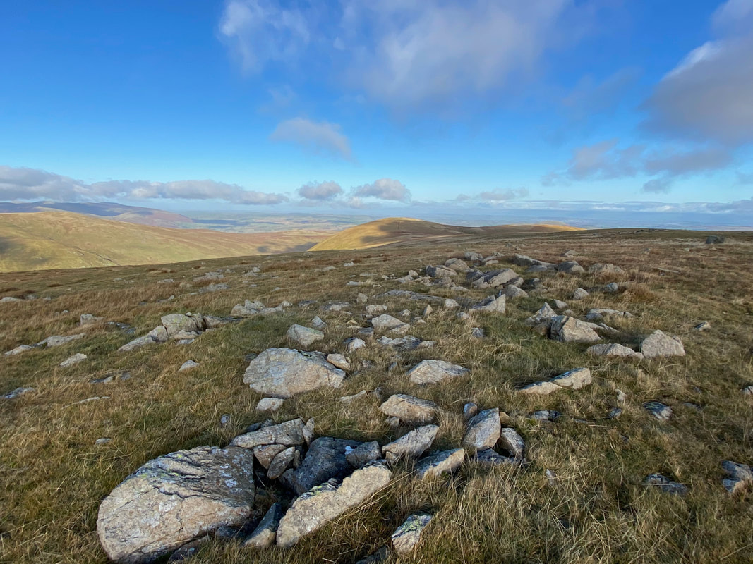
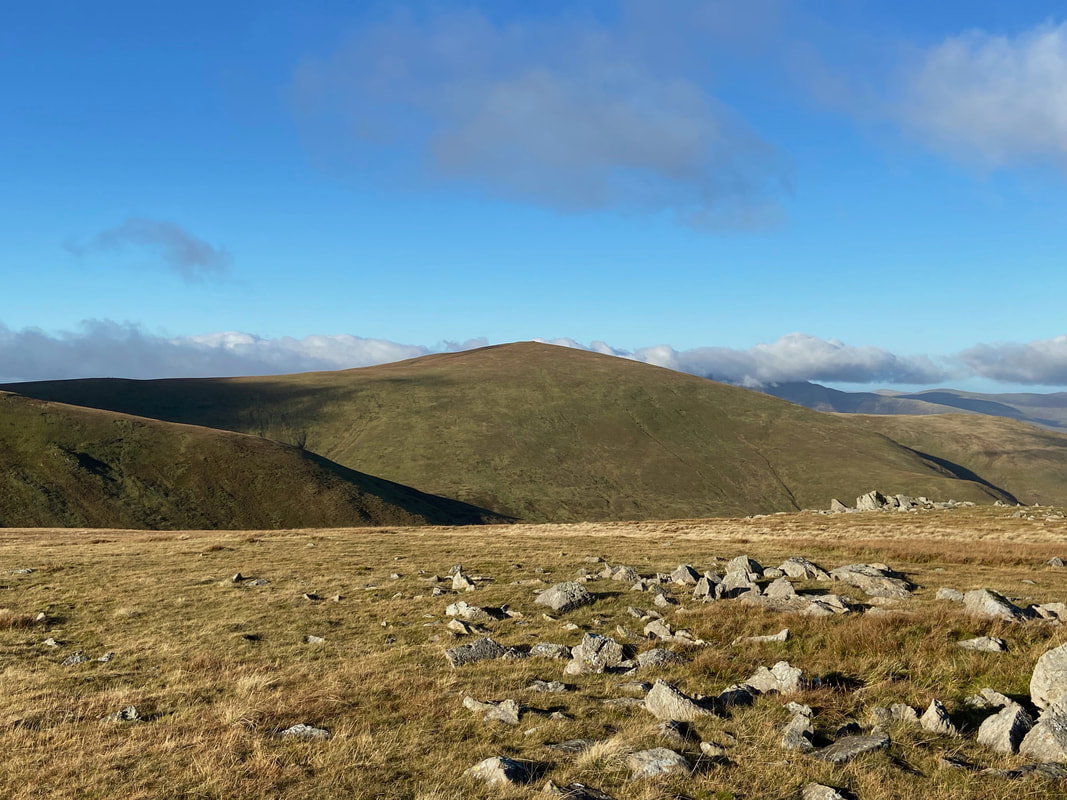
The summit of Green Side looking to Hart Side & Birkett Fell
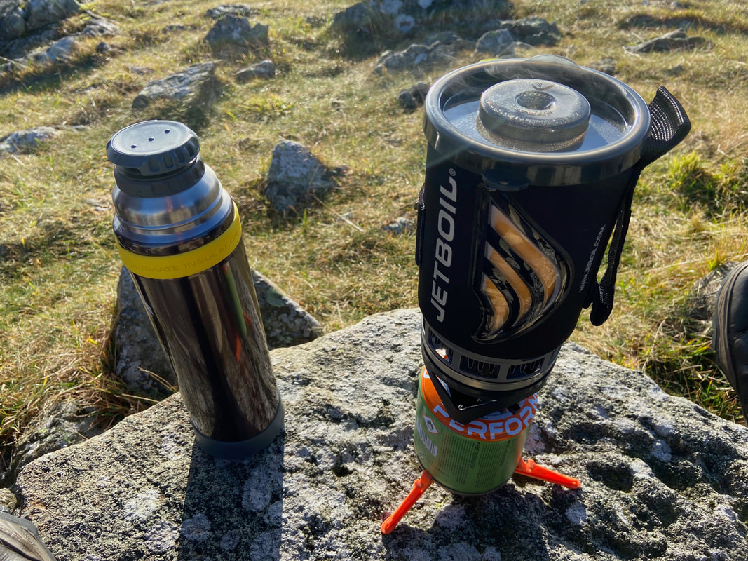
On a cold day like today it was nice to have the Jetboil in the rucksack to make a nice warming mug of soup
Great Dodd across Deepdale
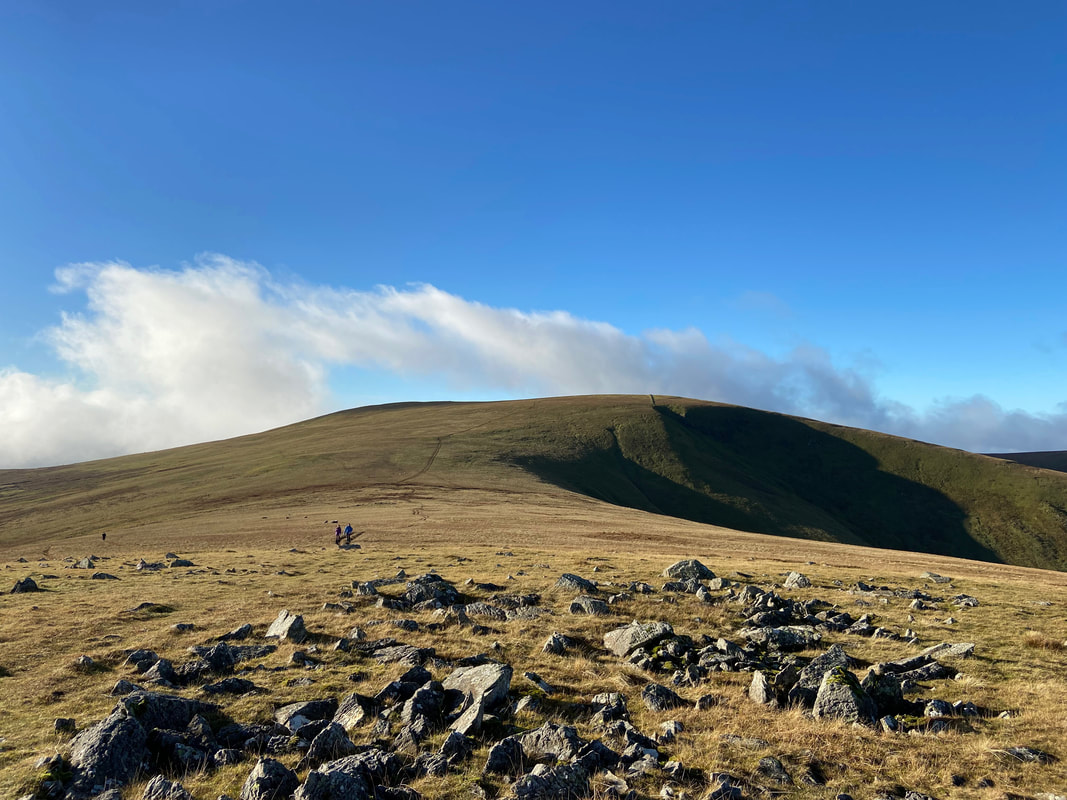
Heading for Stybarrow Dodd
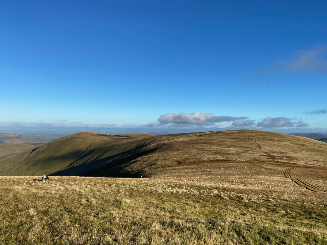
Looking back to Green Side with Hart Side to the left
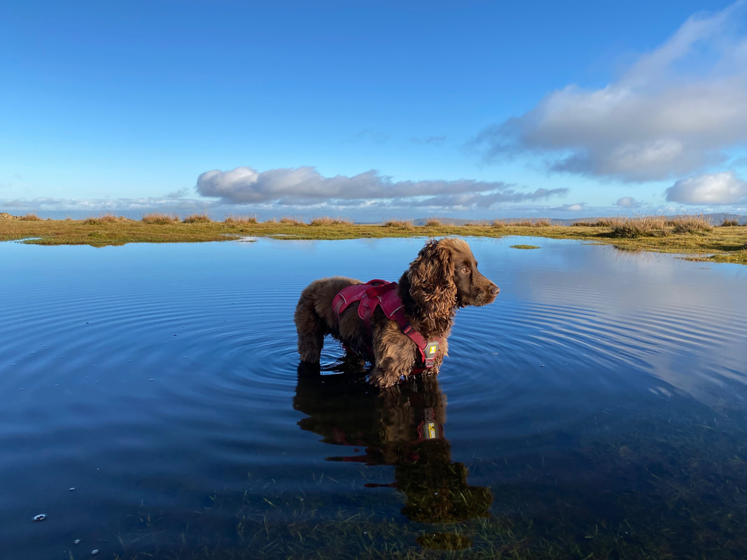
Near the summit of Stybarrow Dodd there is a small tarn which Fudge loves to mess about in - today was no exception
Fudge in the tarn on Stybarrow Dodd (Click Play to view)
The summit of Stybarrow Dodd
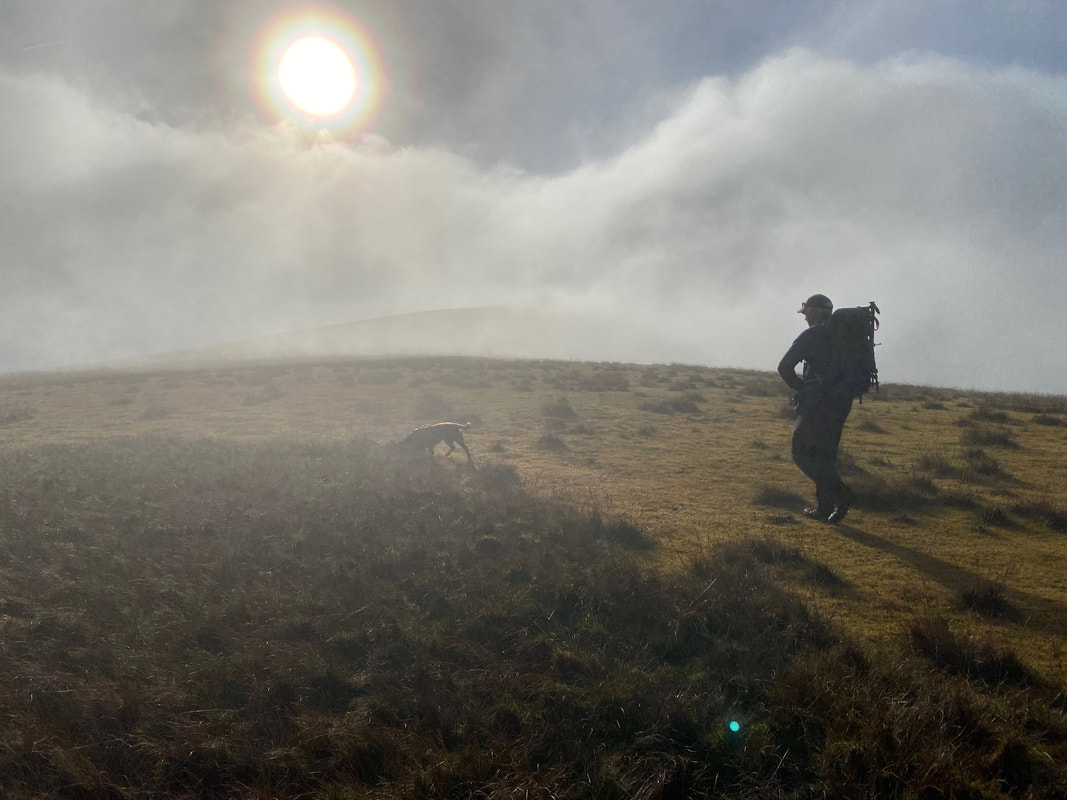
As we left Stybarrow Dodd for the Sticks Pass we were engulfed by the low cloud
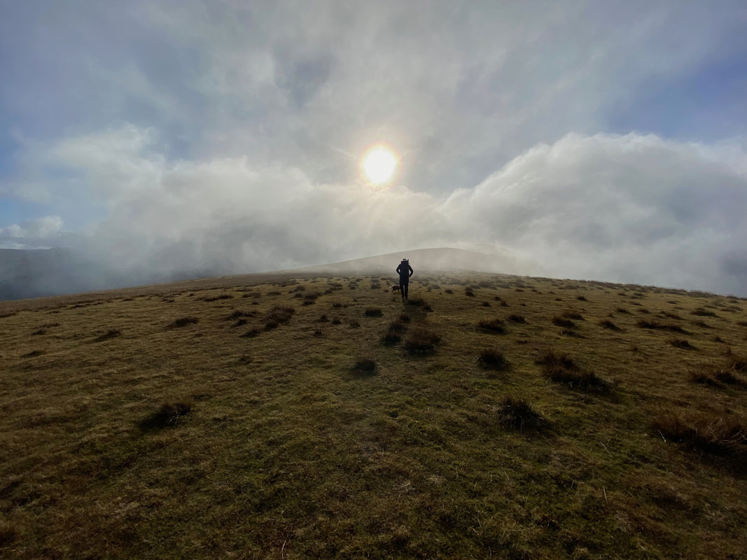
Hopefully the cloud will pass over as we head towards Raise & the Sticks Pass
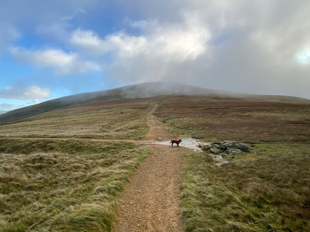
The crossroads of paths at the top of the Sticks Pass. Straight on for Raise and right to Thirlmere - we would be heading left which leads down the valley to Nick Head and onwards to Seldom Seen.
The name "Sticks Pass" originates from when its course was marked by a line of large wooden stakes. The stakes, or "sticks", would have provided a handrail to the traveller at times when the path was obscured by deep snow.
The name "Sticks Pass" originates from when its course was marked by a line of large wooden stakes. The stakes, or "sticks", would have provided a handrail to the traveller at times when the path was obscured by deep snow.
Looking across to Raise and the buildings of the Lake District Ski Club
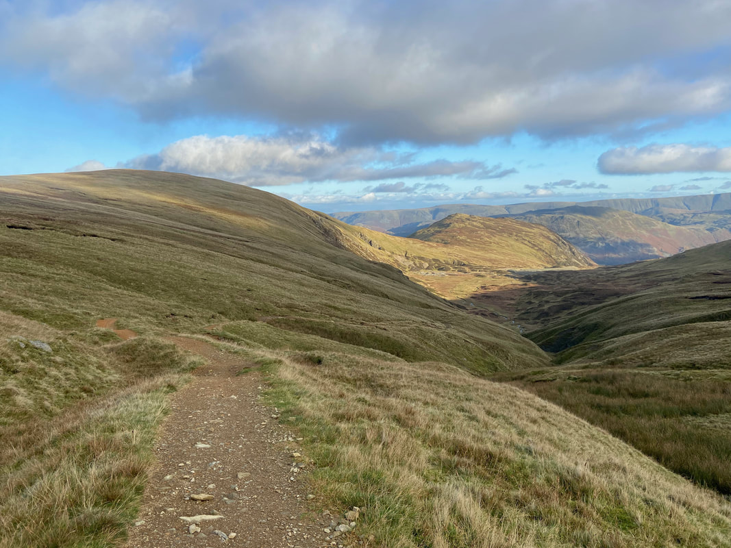
Continuing down the Sticks Pass towards Nick Head with Sticks Gill to the right
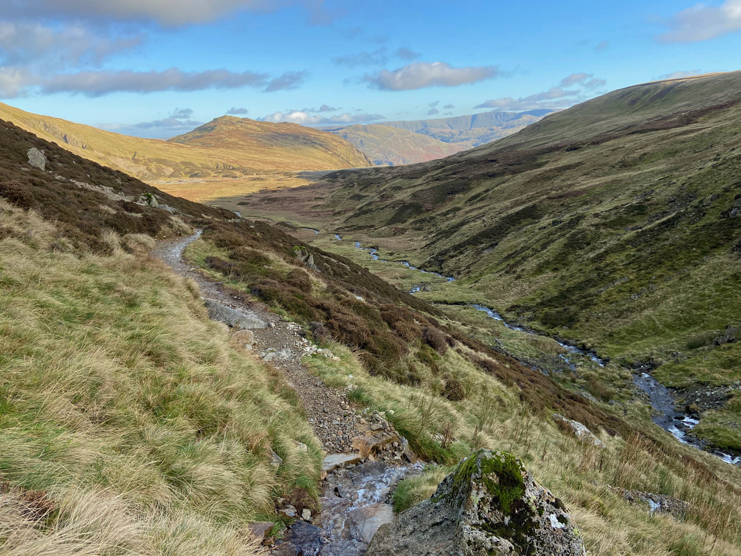
Sticks Gill is more visible now as we near the spoil of the Greenside Mine
Tumbling cascades (Click Play to view)
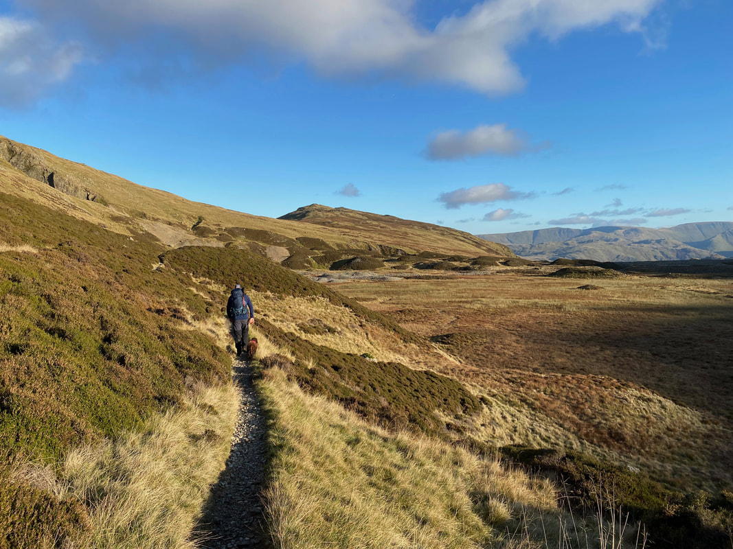
Approaching Nick Head with Sheffield Pike ahead
Looking over to the ridge of Green Side
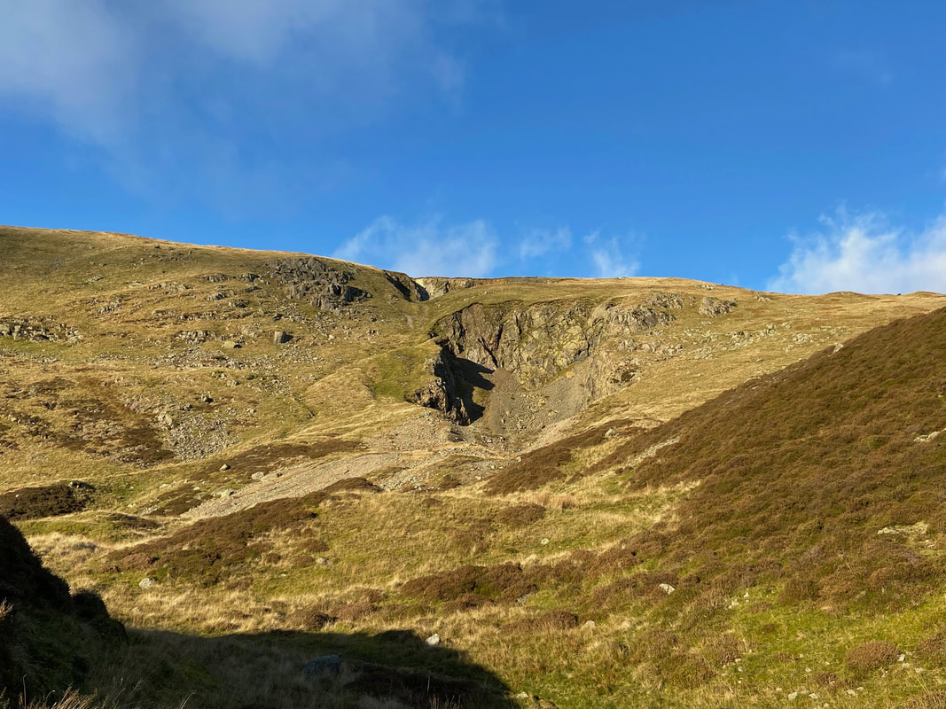
This was the location of the earliest workings of the Greenside Mine. The large craters on the hillside are the result of a huge collapse in 1862 of a massive amount of material that dropped down into the workings below. The collapse was known as 'The Big Crush' and it was fortunate that no one was killed as thankfully there were no miners in the workings at the time.
This was the location of the earliest workings of the Greenside Mine. The large craters on the hillside are the result of a huge collapse in 1862 of a massive amount of material that dropped down into the workings below. The collapse was known as 'The Big Crush' and it was fortunate that no one was killed as thankfully there were no miners in the workings at the time.
From Nick Head the path continues beneath the northern slopes of Sheffield Pike along Bleabank Side
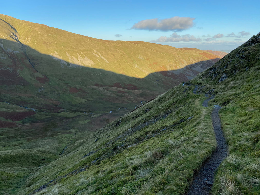
Descending Bleabank Side through Glencoyne
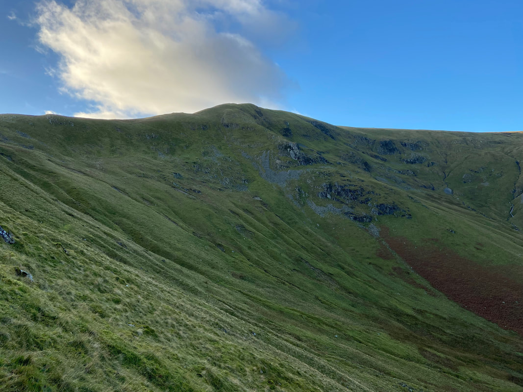
Scot Crag on Glencoyne Head
Looking across Glencoyne to Hart Side
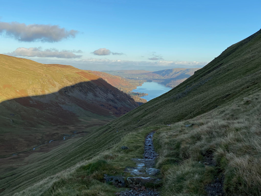
Almost back at the start now as Ullswater gets nearer
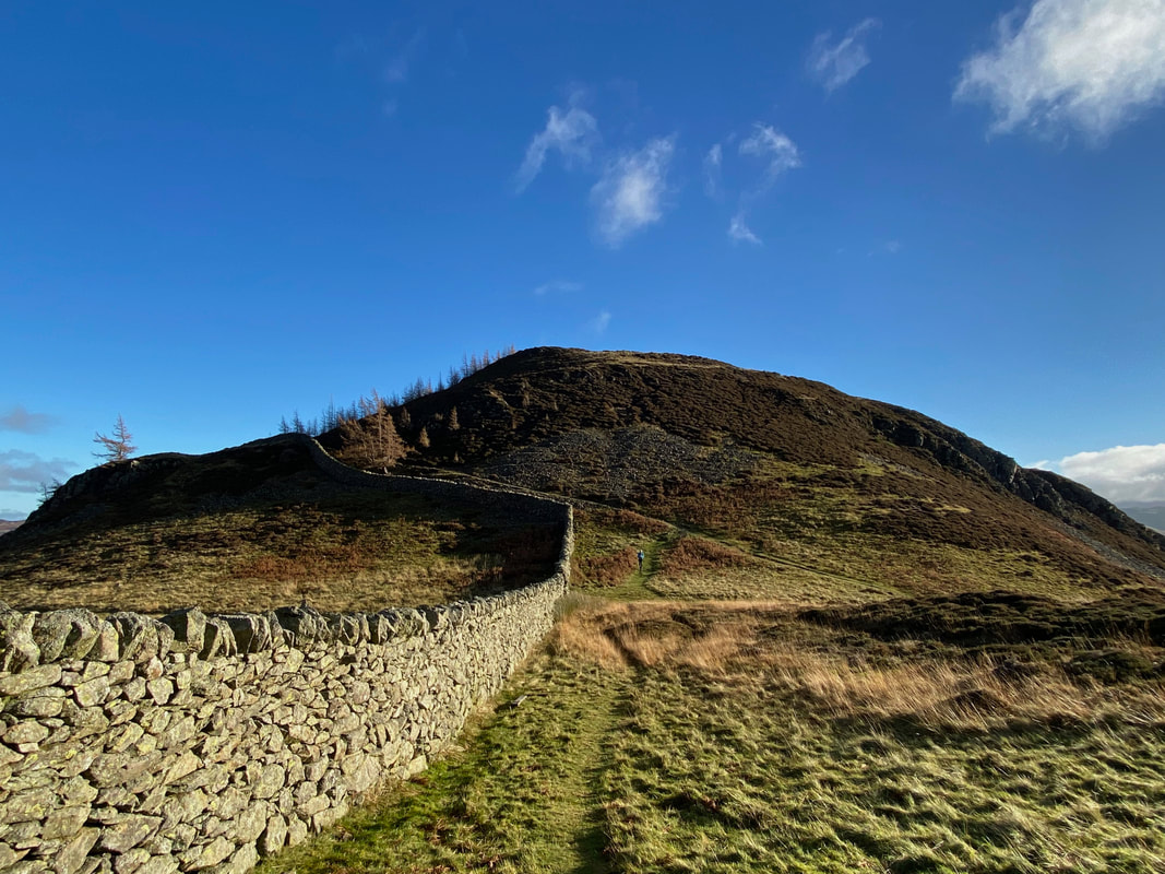
Glencoyne Wood ahead with our outward route to Glenridding Dodd now in view alongside the wall
