Cross Fell, Little Dun Fell & Great Dun Fell - Sunday 9 May 2021
Route
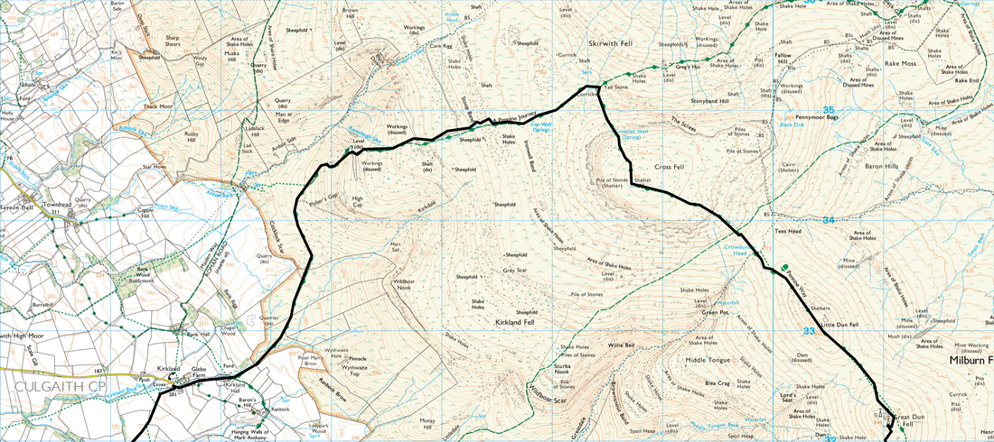
Blencarn - Kirkland - Stoop Band - Yad Stone - Cross Fell - Crowdundle Head - Little Dun Fell - Great Dun Fell - Dunfell Hush - Green Castle - Silverband Mine - Mudgill Sike - Milburn - Wythwaite - Stubmire Moor - Blencarn
Parking
Roadside parking in Blencarn at Grid Reference NY 6375 3130, postcode CA10 1TX. Alternatively this walk can be started from the village of Kirkland where there is room for approximately 3 cars at the end of the road at Kirkland Hall - Grid Ref NY 6505 3256, postcode CA10 1RN.
Mileage
16.8 miles
Terrain
Good mountain paths generally with some slightly boggy sections, farm tracks and some road walking along quiet lanes.
Weather
Mainly overcast and dry with light breezes
Time Taken
7hrs 50mins
Total Ascent
3103ft (946m)
Map
OL31 North Pennines - Teesdale & Weardale
Walkers
Dave, Angie & Fudge
|
GPX File
|
| ||
If the above GPX file fails to download or presents itself as an XML file once downloaded then please feel free to contact me and I will send you the GPX file via e-mail.
Route Map
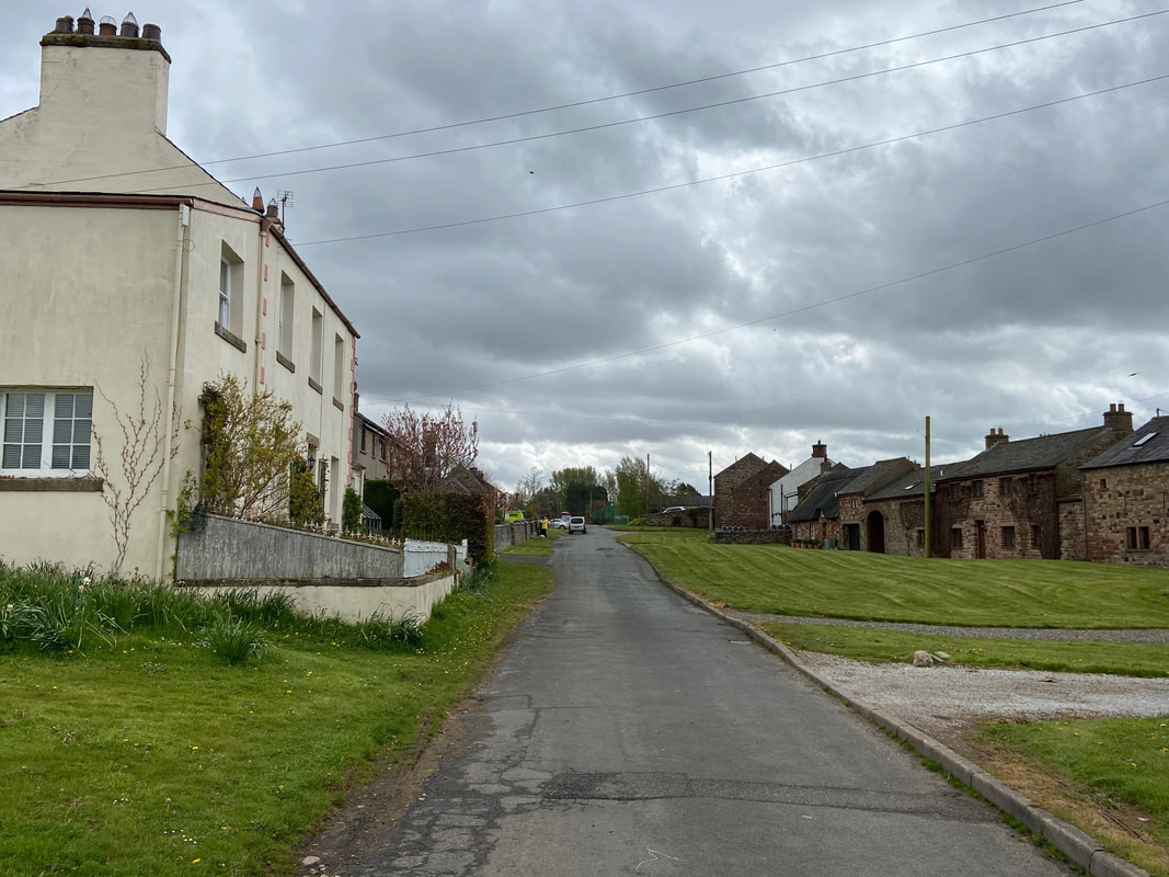
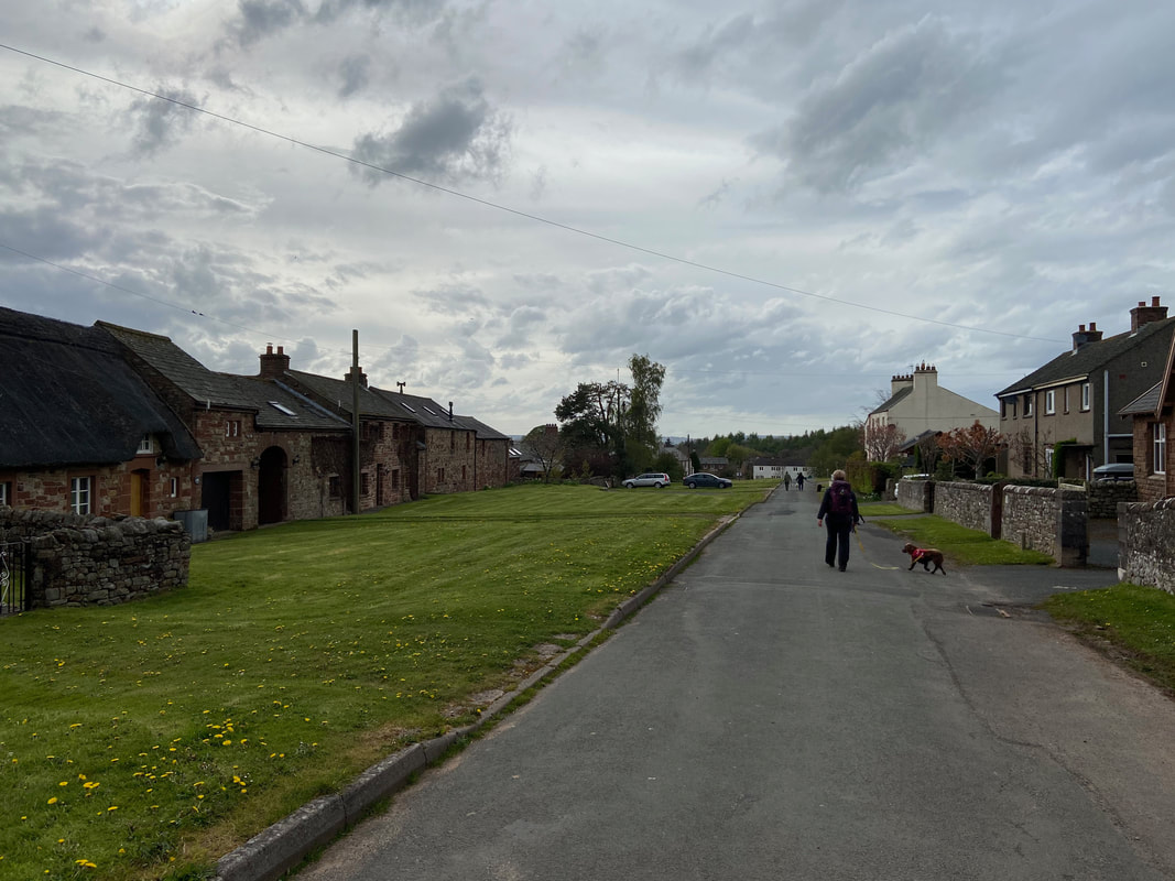
The quiet Cumbrian village of Blencarn. We were staying locally therefore walked from the door of our accommodation, however there are plenty of sensible places to park in the village.
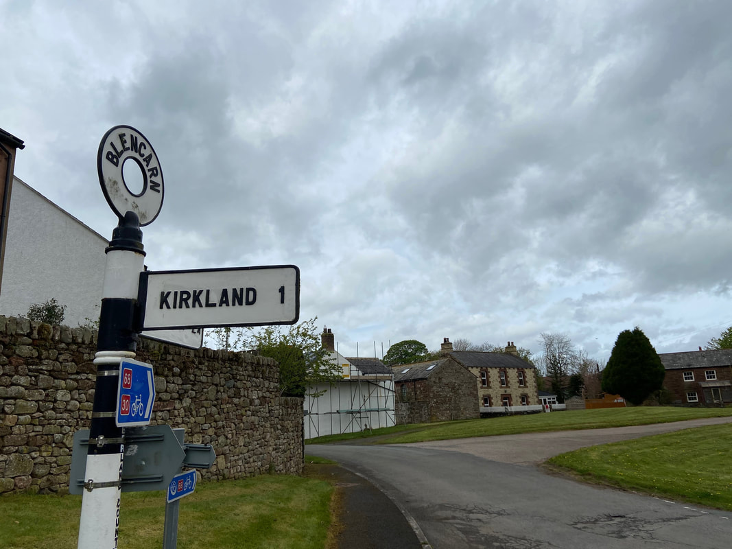
From the village we walked along the quiet lane towards Kirkland
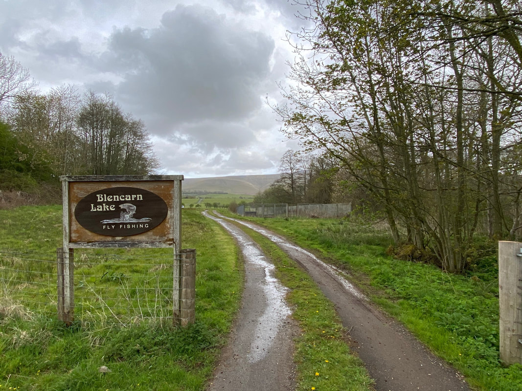
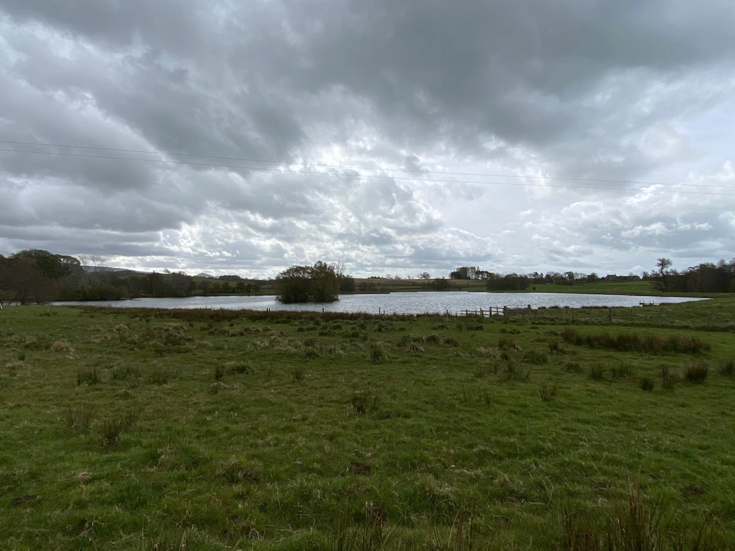
The route passes the entrance to Blencarn Lake
Blencarn Lake - not many J R Hartley's about today
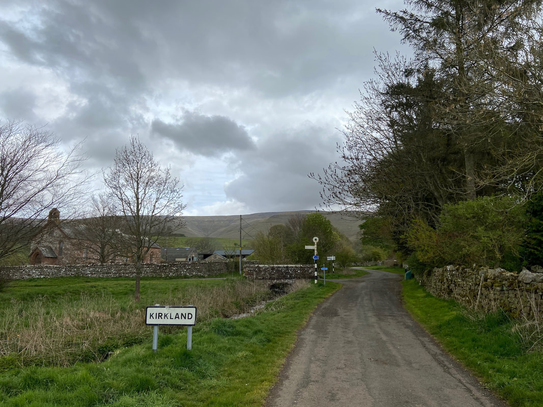
The village of Kirkland - we were last here just under 2 years ago whilst walking Wainwright's Pennine Journey - link here
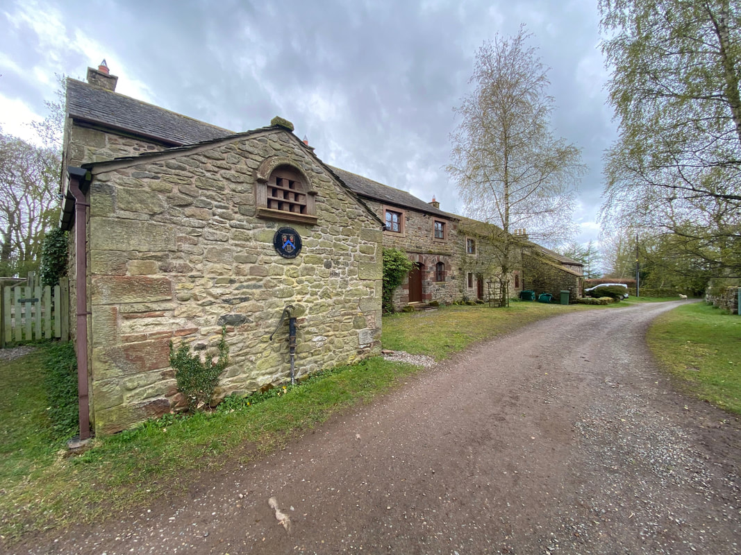
Kirkland Hall
The point at where The Pennine Way & The Pennine Journey meet when travelling from the direction of Kirkland. This is the turn off for Cross Fell - both routes continue on from here and part company on Hadrians Wall near Housesteads.
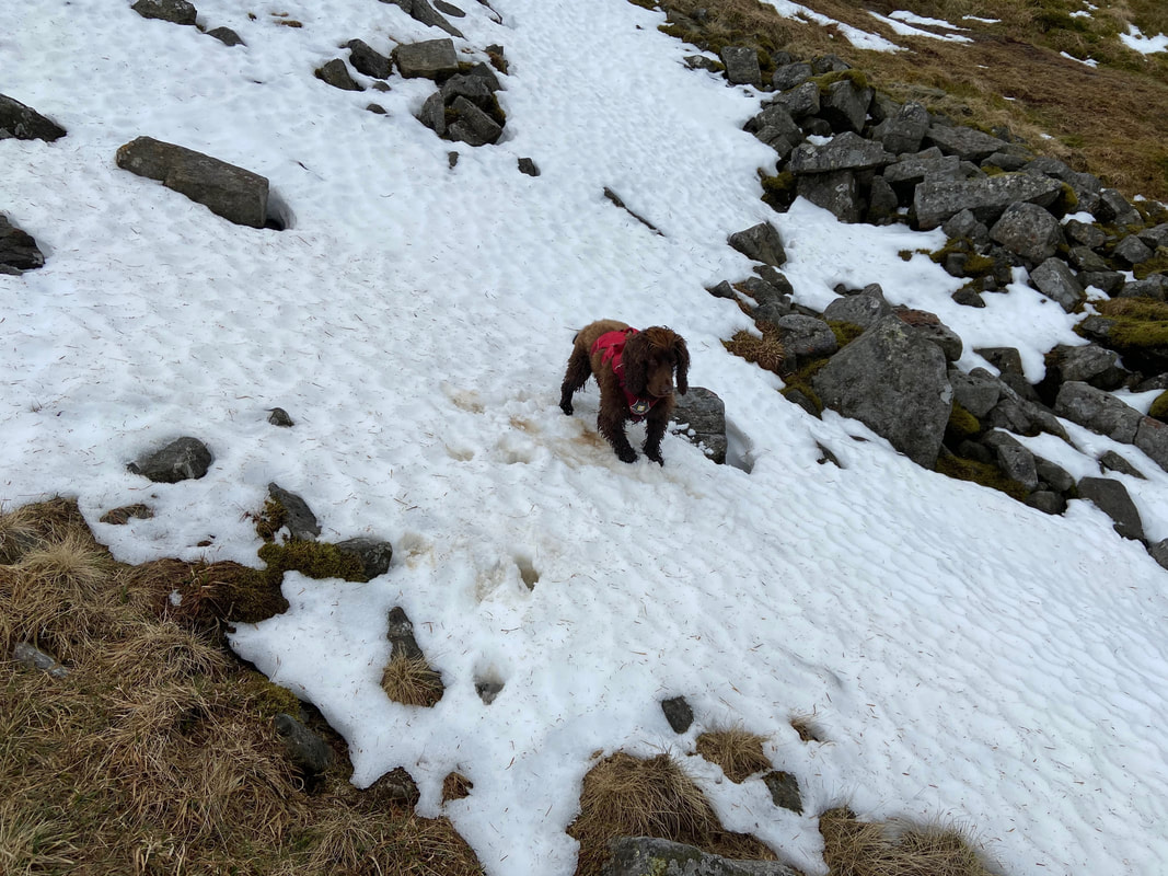
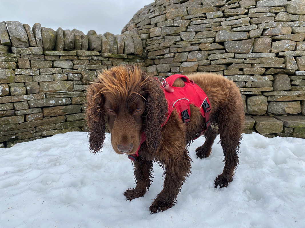
Considering we were now in early May, much to Fudge's delight there was still the odd patch of the white stuff about.
From the Pennine Way junction the route climbs steeply up to Cross Fell
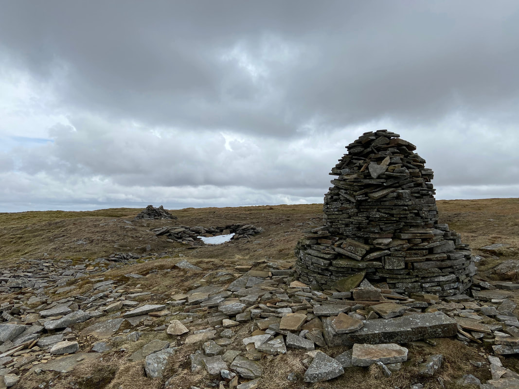
As height is gained cairns guide the way to the summit. Notwithstanding these cairns, it is imperative that you know how to navigate up here. Cross Fell's summit plateau is huge and in poor visibility it is very easy to lose your way.
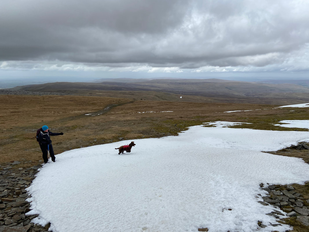
Chasing snowballs - one of Fudge's favourite pastimes
Approaching the summit of Cross Fell
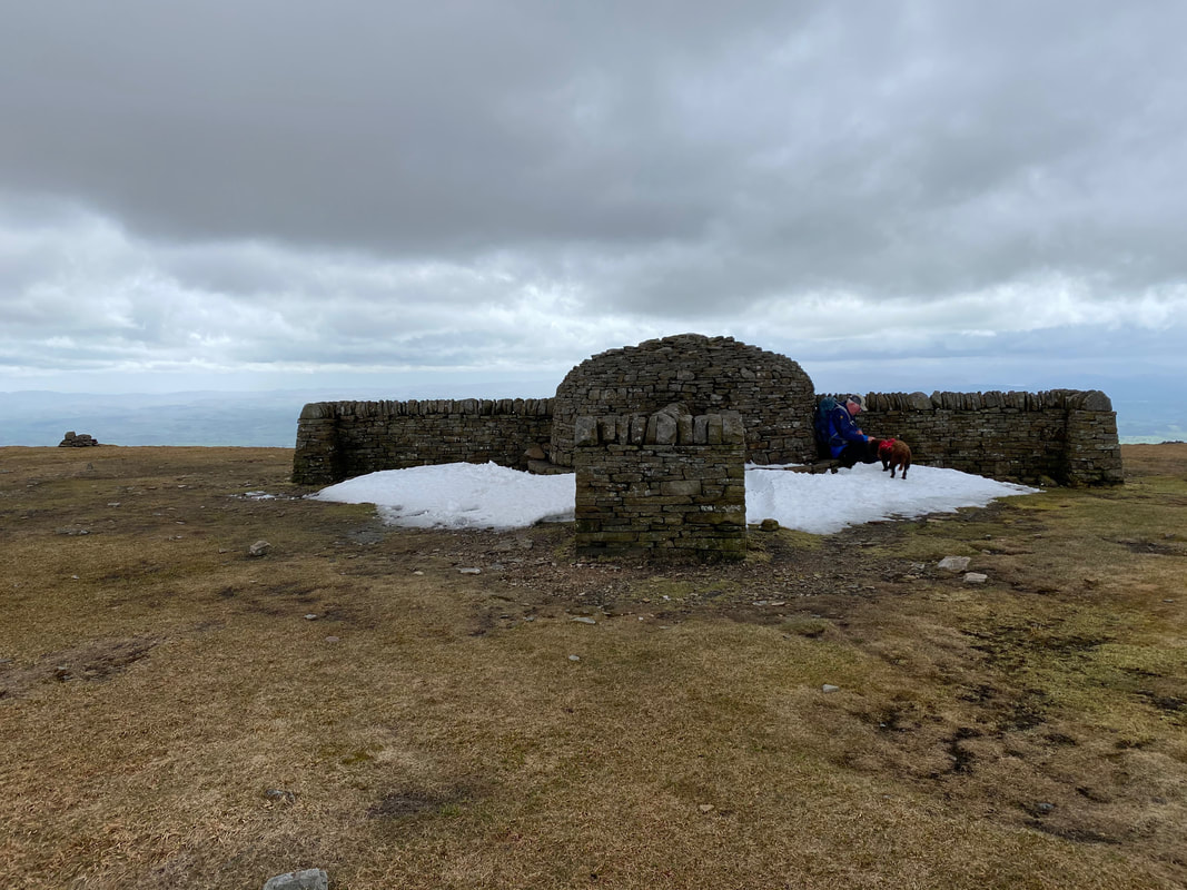
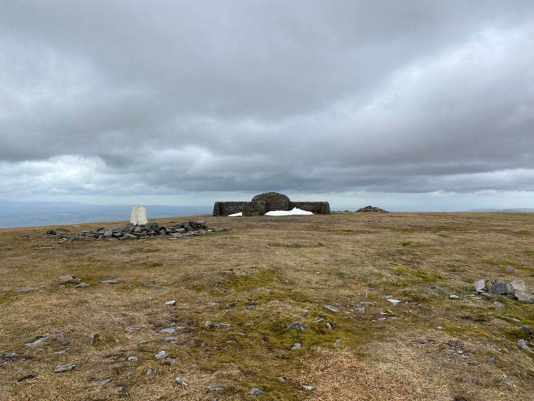
The impressive cross shelter up on the summit of Cross Fell
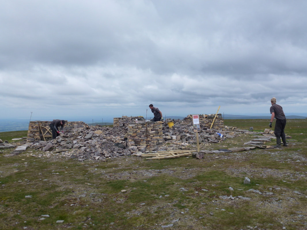
When we were up on Cross Fell in 2014 we saw first hand the new cross shelter being constructed.
If dogs could talk eh??
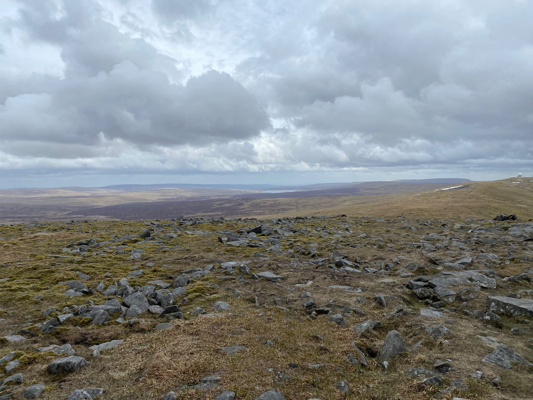
The summit of Cross Fell with Trig Point, Cross Shelter and Cairn. The highest point is at the centre of the summit shelter 2930ft above sea level. Cross Fell is the highest point in England outside of the Lake District.
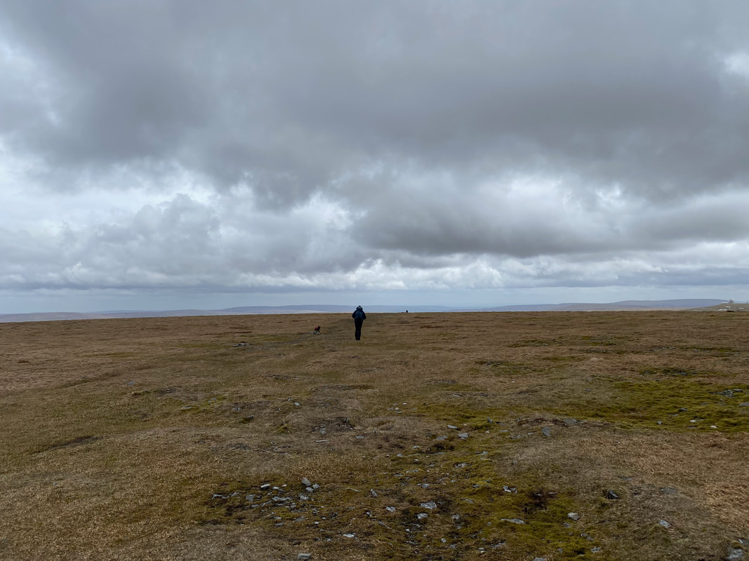
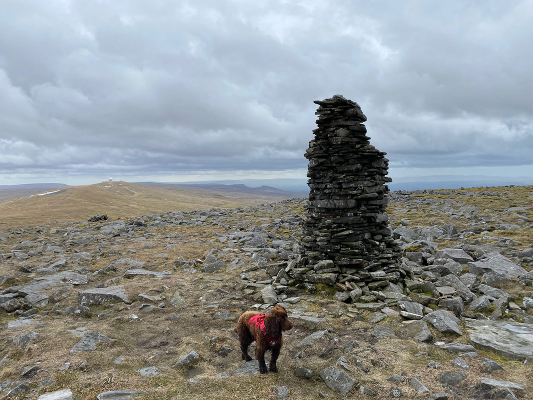
Leaving Cross Fell for Little Dun Fell - we were aiming for the tall cairn in the distance
A succession of stone cairns marks the route however when the visibility is non existent they are of little use
Cow Green Reservoir can just about be seen from the summit of Little Dun Fell
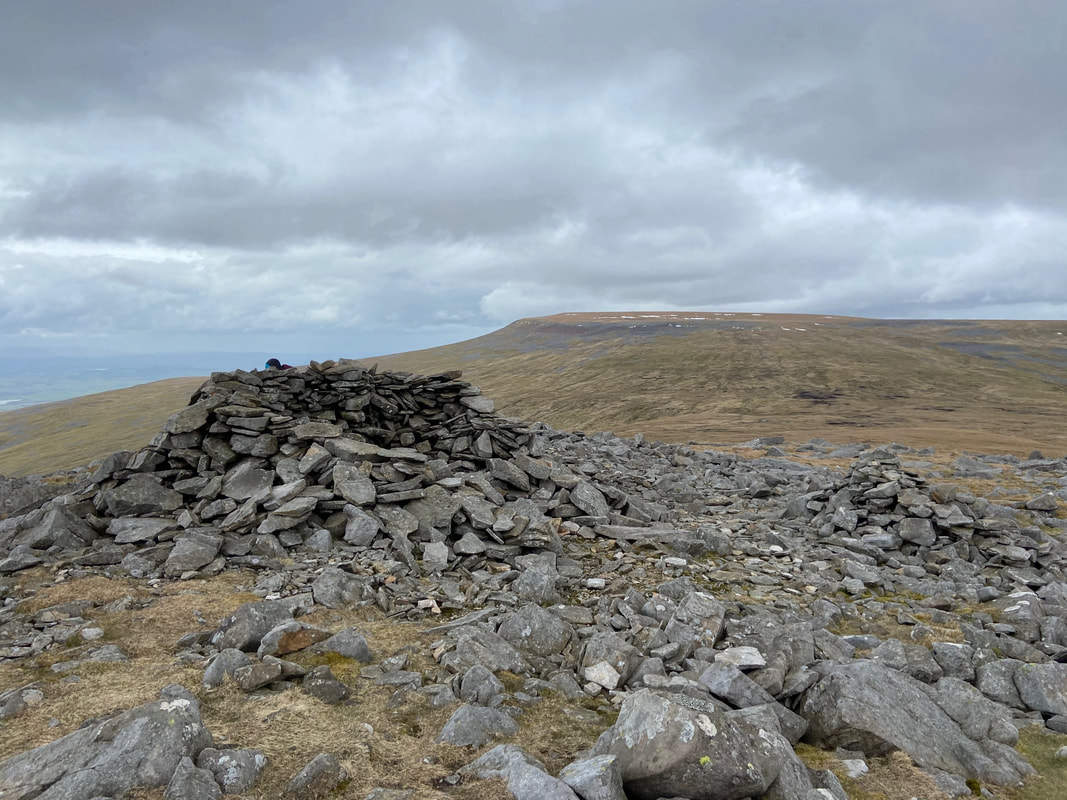
The summit shelter on Little Dun Fell looking to Cross Fell
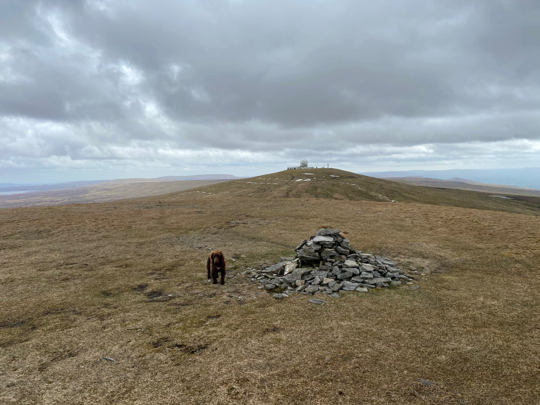
Fudge on the summit of Little Dun Fell looking to the very recognisable Great Dun Fell
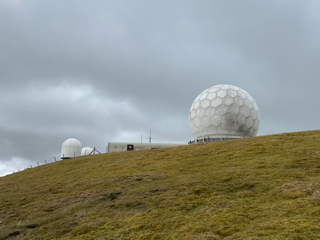
The path passes below the highest point of Great Dun Fell - the summit is located within the perimeter fence
This is the closest we could get today to the summit - to be honest there is not much difference in height from this point
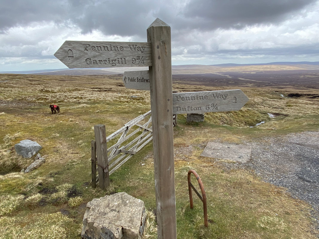
Just below the summit of Great Dun Fell is a three way signpost. The public bridleway heads off on the South Tyne Trail back to Garrigill. We were off in the direction of Dufton but only for a few yards........................
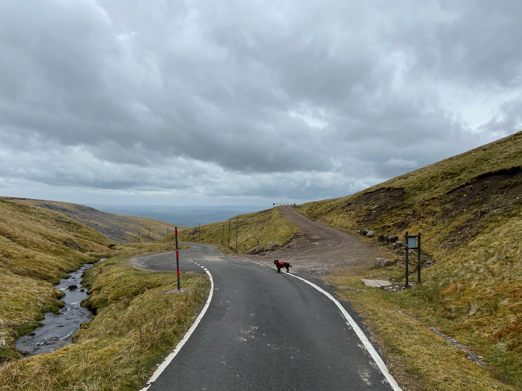
........ when we then headed down the Radar Station access road to this right turn which heads over to the Silverband Mine
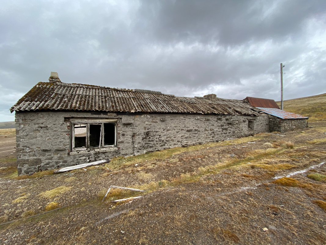
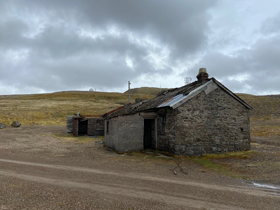
The abandoned ruined buildings of the Silverband Mine just below Great Dun Fell. There has been lead mining in this area since the 14th century. In the 19th century the London Lead Company worked Silverband Mine for galena, a sulphide of lead. In the early 20th century, production was shifted to mining barytes (an ore often found as a vein mineral in association with lead). In 1939 the La Porte Chemical Company took over Silverband Mine and drastically increased the scale of production. A 1.75km long aerial ropeway was constructed to transport the ore down the steep slopes of the fell (the remains of which are now a scheduled monument). It was then transported to an ore processing works at Milburn Grange. Between 1939 and 1963 Silverband produced 215,000 tons of dressed barytes ore. The mine closed in 1966 but was reopened in 1980s and was worked periodically but is now derelict.
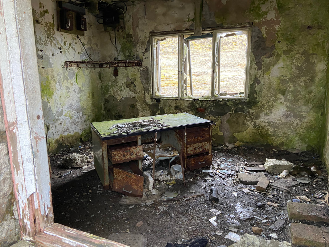
I don't think the cleaner has been here for a while
It is a real shame these buildings are just left to decay
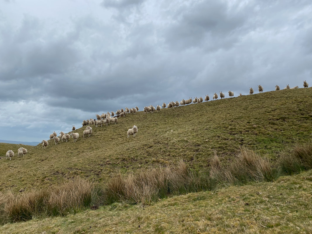
From the Silverband Mine we began the long descent into Milburn. At Mudgill Sike we were met by some curious locals.
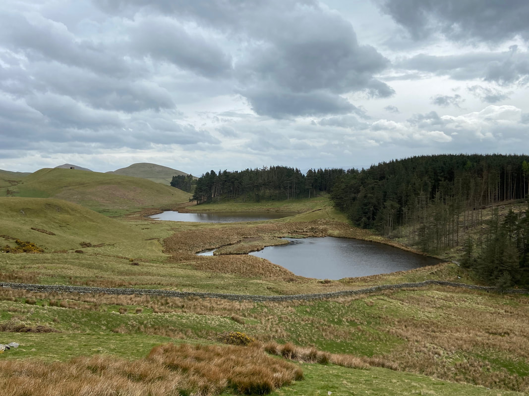
The two dams below Burney Hill from Mudgill Sike
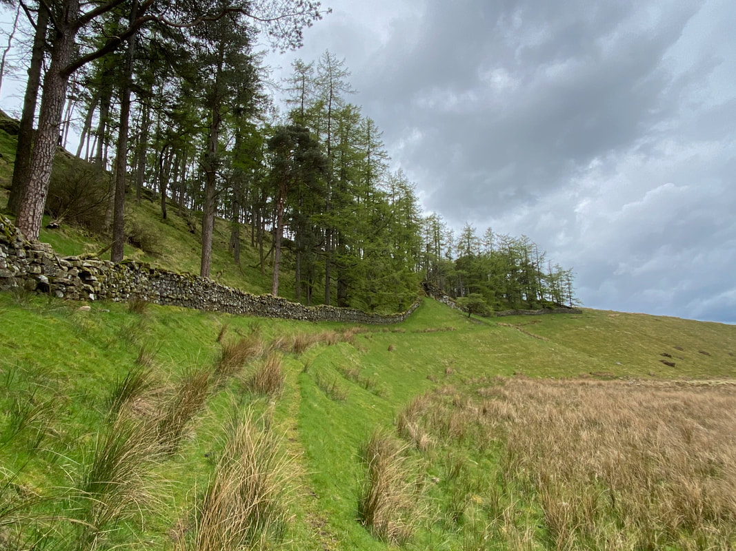
From Mudgill Sike the route heads around a grassy depression to follow a wall
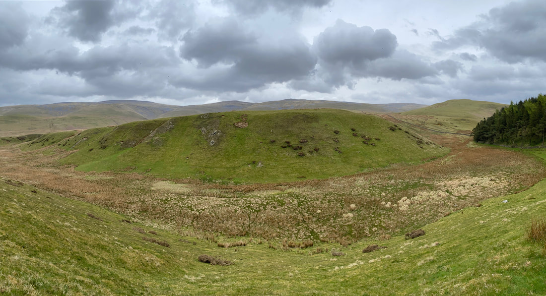
Looking across the grassy depression from the wall to Mudgill Sike. Cross Fell, Little Dun Fell & Great Dun Fell are in the distance with Burney Hill right.
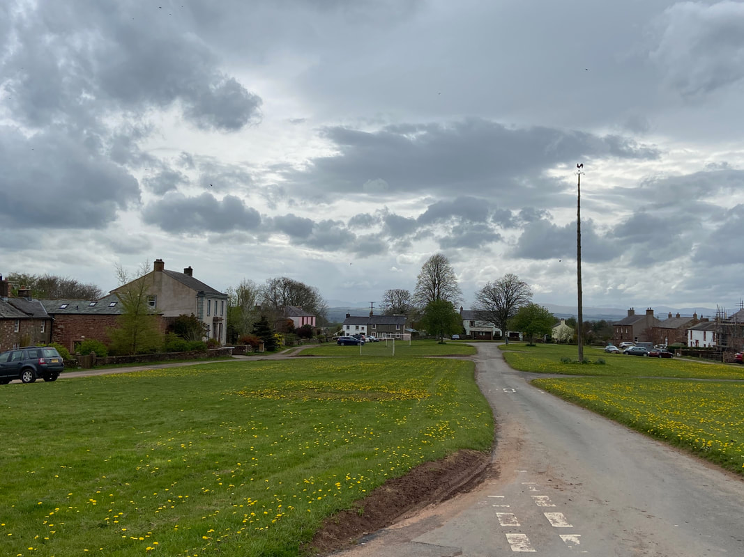
The delightful village of Milburn complete with Maypole - Wainwright's Pennine Journey passes through here
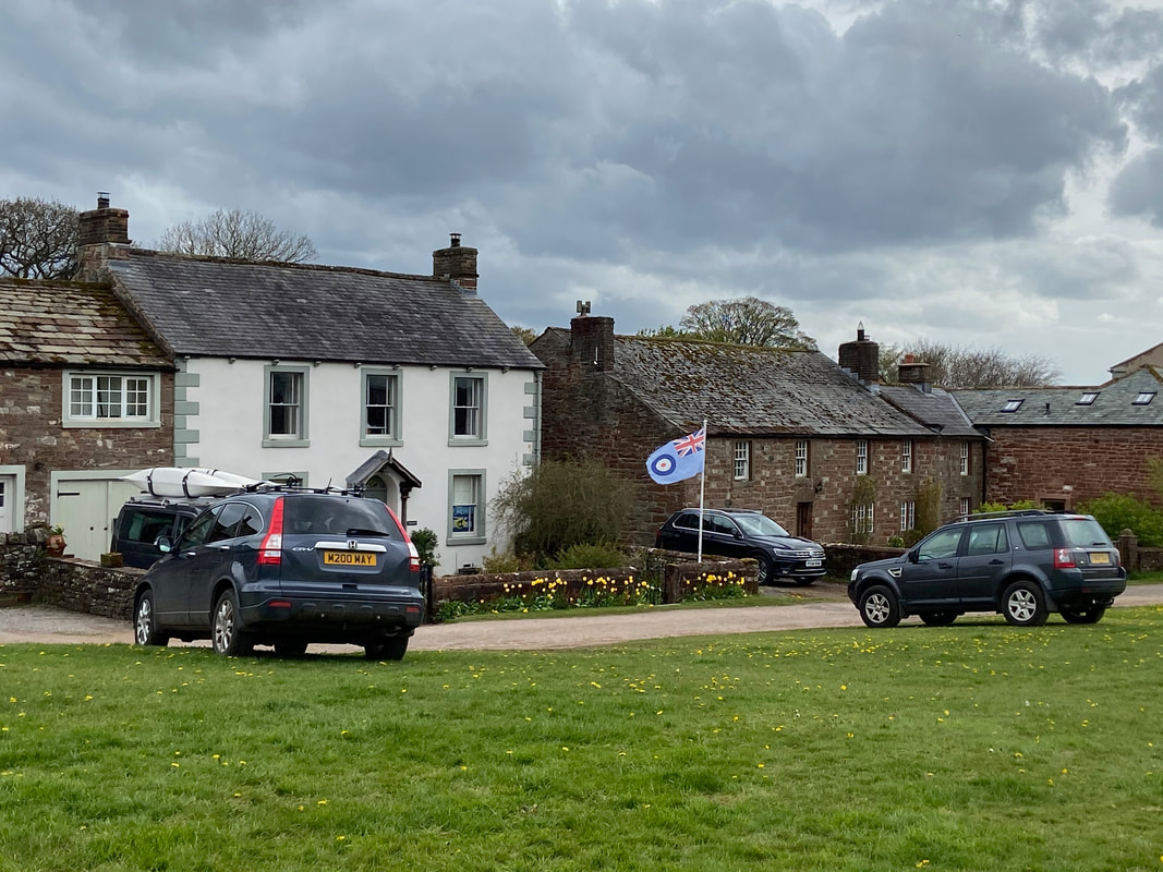
Nice to see the RAF all present and correct
Milburn Primary School
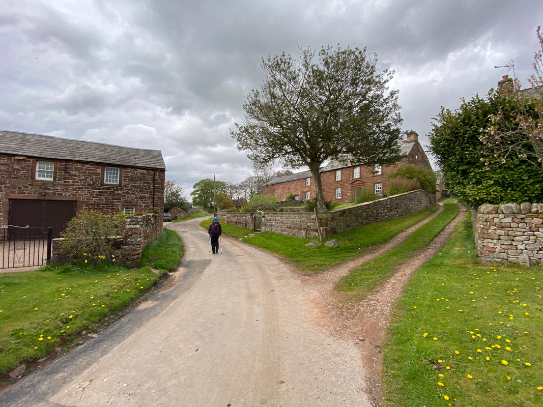
The route leaves Milburn and heads on the Pennine Journey path towards Wythwaite
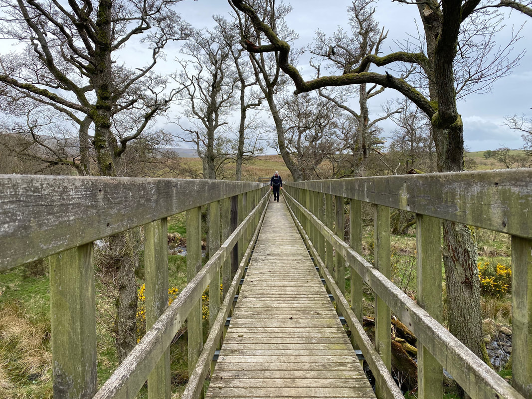
Crossing the bridge over Crowdundle Beck
Arriving back in Blencarn
