Red Screes, Middle Dodd, Little Hart Crag, Dove Crag, Hart Crag & Hartsop above How - Wednesday 5 February 2020
Route
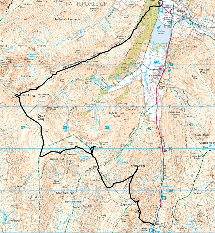
Kirkstone Pass Inn - Red Screes - Smallthwaite Band - Middle Dodd - Scandale Pass - Little Hart Crag - High Bakestones - Dove Crag - Hart Crag - Hartsop above How - Gate Crag - Bleaberry Knott - Low Wood - Cow Bridge
Parking
For this linear walk we met at Cow Bridge Car Park (National Trust therefore a charge for non members) where there is room for about 20 cars - Grid Ref NY 403 134, nearest postcode is CA11 0NZ. We then drove up the Kirkstone Pass to the large parking area (free) opposite The Kirkstone Inn - Grid Ref NY401081, nearest postcode is LA22 9LQ.
Mileage
9 miles
Terrain
Good mountain and woodland paths although the descent through Low Wood is steep and therefore care needs to be taken.
Weather
A real mixed bag with sunny spells during mainly overcast conditions. Visibility was generally very good although poor from Little Hart Crag to Hart Crag.
Time Taken
6hrs 15mins
Total Ascent
2818ft (859m)
Wainwrights
6
Map
OL5 - The English Lakes - North Eastern Area
Walkers
Dave, Angie & Fudge with Amber Brooks
|
GPX File
|
| ||
If the above GPX file fails to download or presents itself as an XML file once downloaded then please feel free to contact me and I will send you the GPX file via e-mail.
Route Map
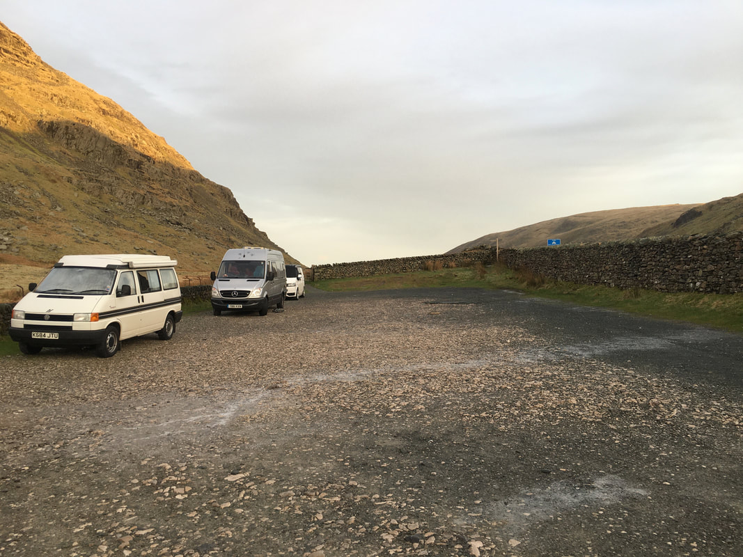
The parking area at the top of the Kirkstone Pass opposite The Kirkstone Inn
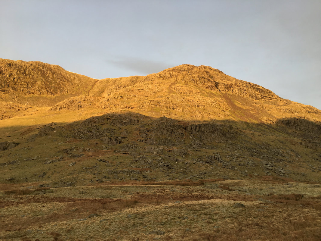
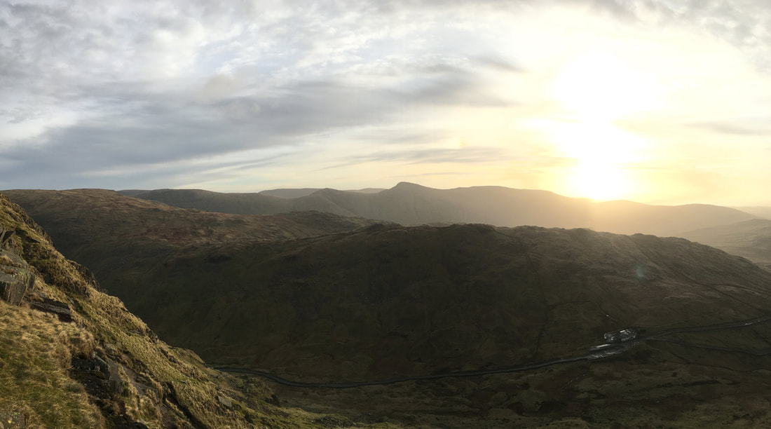
Looking to our route of ascent up Red Screes from near the Car Park. The early morning sun was casting a lovely glow on the mountain and we had our fingers crossed that the visibility would be good today.
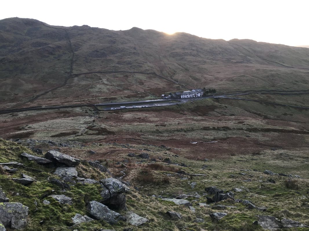
After a gentle gradient start the path steepens as height is gained. The Kirkstone Inn & Car Park sit below us with St Raven's Edge on Caudale Moor to the left.
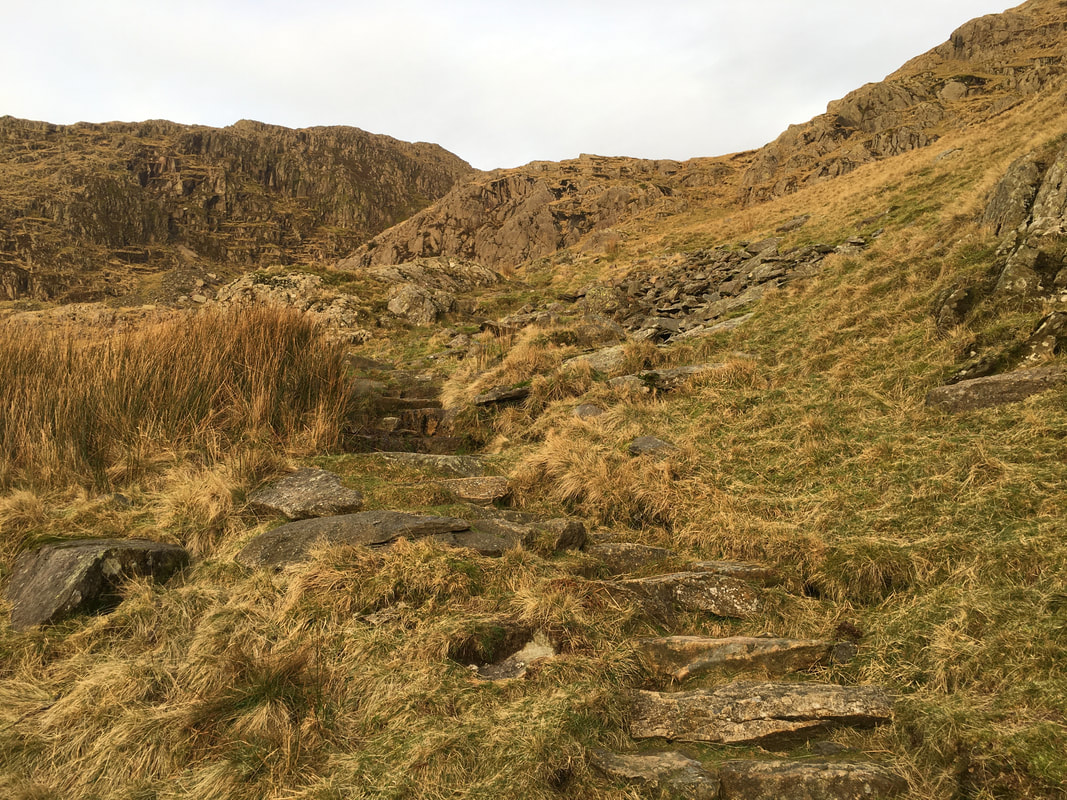
Whilst steep, the path is stepped for the most part and is easy to follow
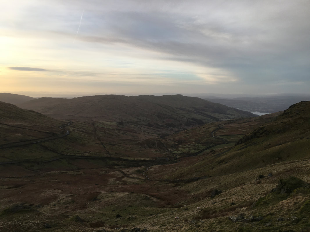
Baystones & Wansfell Pike from the ascent of Red Screes. The road making its way from left to right is known as "The Struggle" and leads into Ambleside.
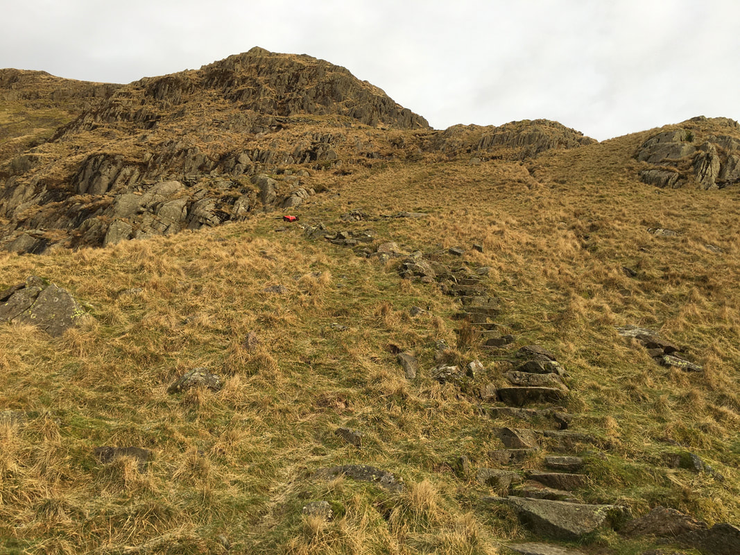
Further up the mountain and the steepness continues - just remember to pause often and look back at the height you have gained plus the views
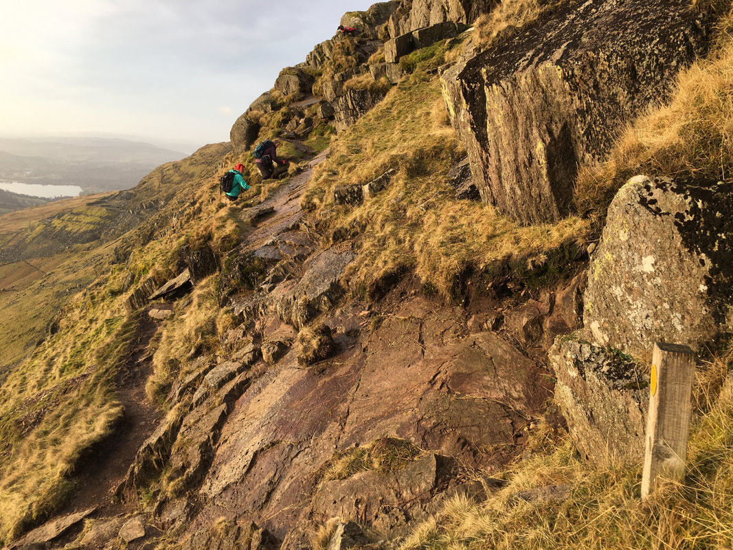
The route reaches a path junction. The post on the right points to the left where Angie & Amber are heading - a path of sorts heads to the right and leads to the short scramble up the Kilnshaw Chimney.
As height is gained the view over to the east really opens out. Caudale Moor is now in full view with Thornthwaite Crag behind to the left. Just left of centre is Froswick with Ill Bell right and the sun popping up over Yoke.
Raven Crag on Red Screes
A short detour leads to the prominent rock known as "The Horn" (no tittering at the back please).
After a short walk from The Horn over easier ground, the summit of Red Screes is reached. Wainwright states in Book One of his Pictorial Guides that "Red Screes has more claims to distinction than any other high fell". I will not type them here but they can be found on Red Screes 12.
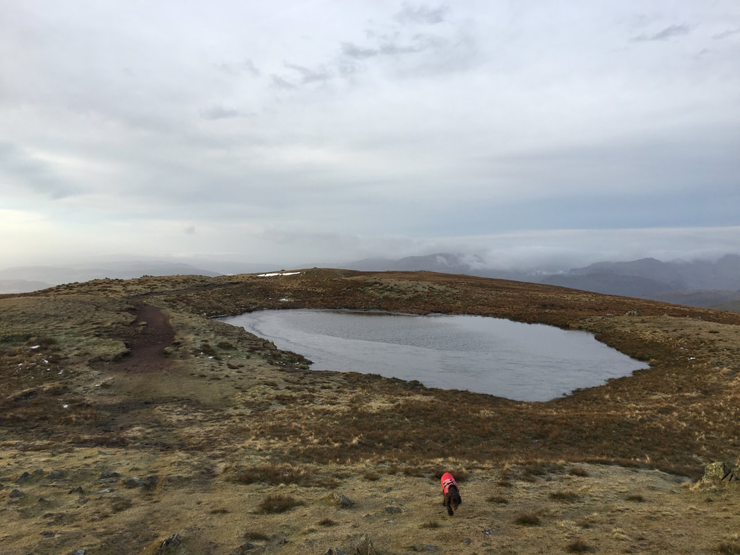
The small tarn on the summit of Red Screes - one of Fudge's favourite places
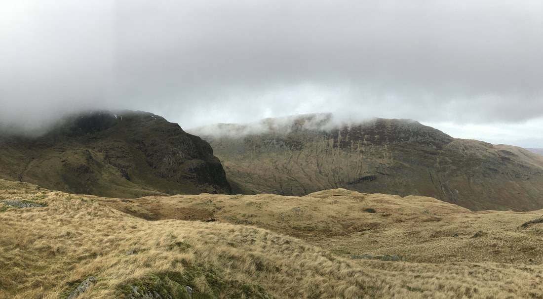
After the initial bout of sunshine the weather was starting to cloud over a bit and before too long we knew we would be in clag. We are looking to Middle Dodd, our next summit.
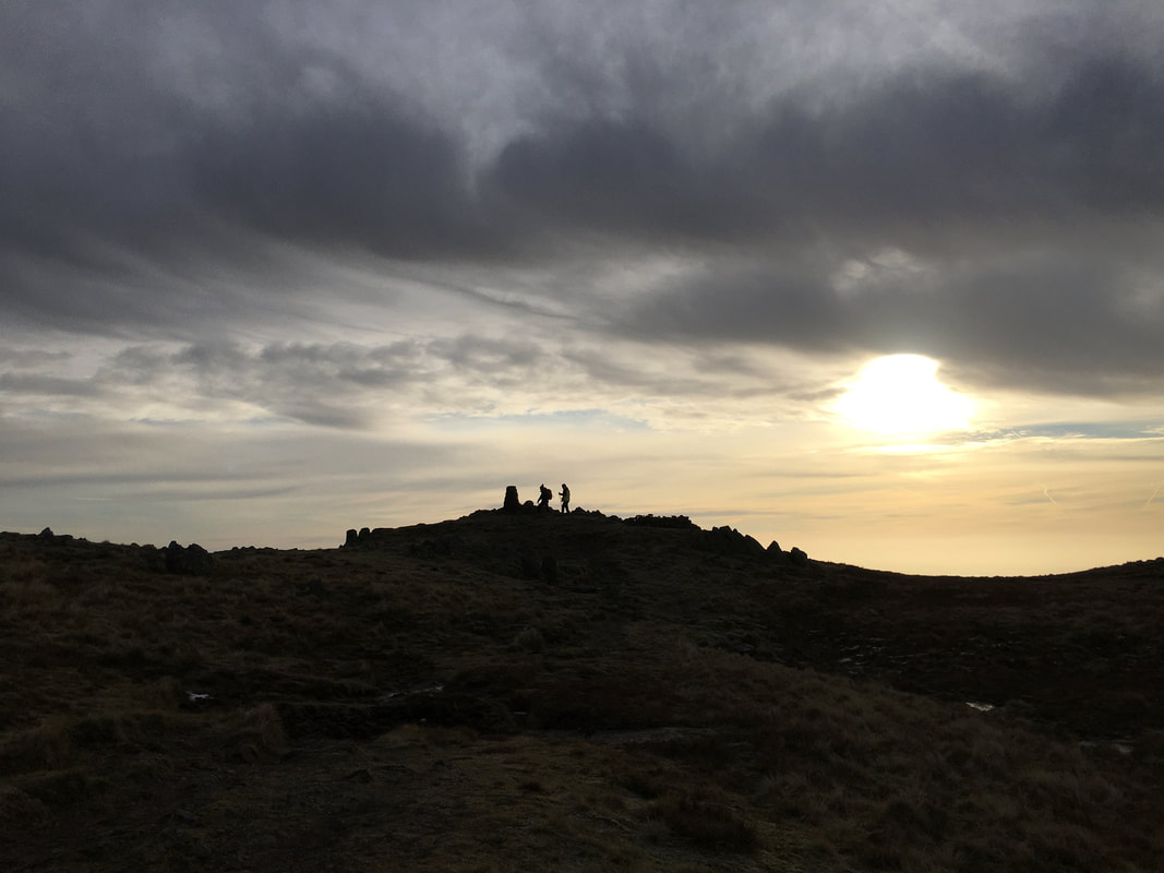
Walkers in silhouette on Red Screes
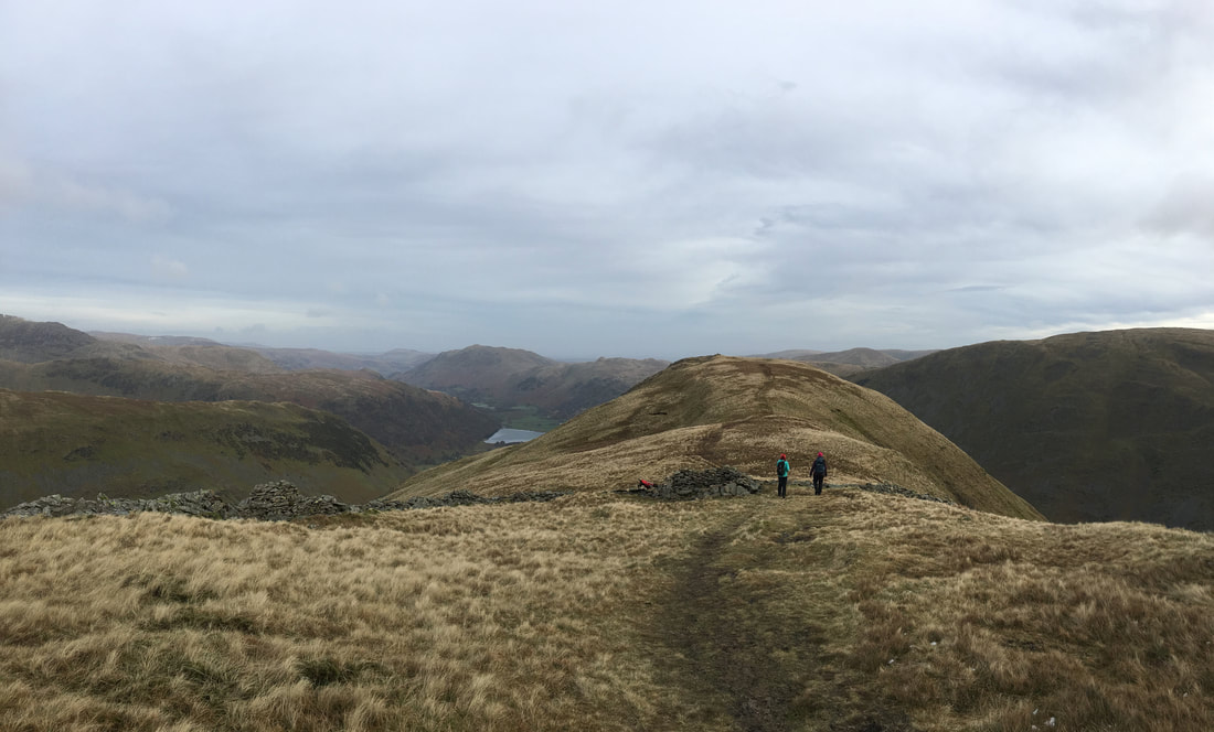
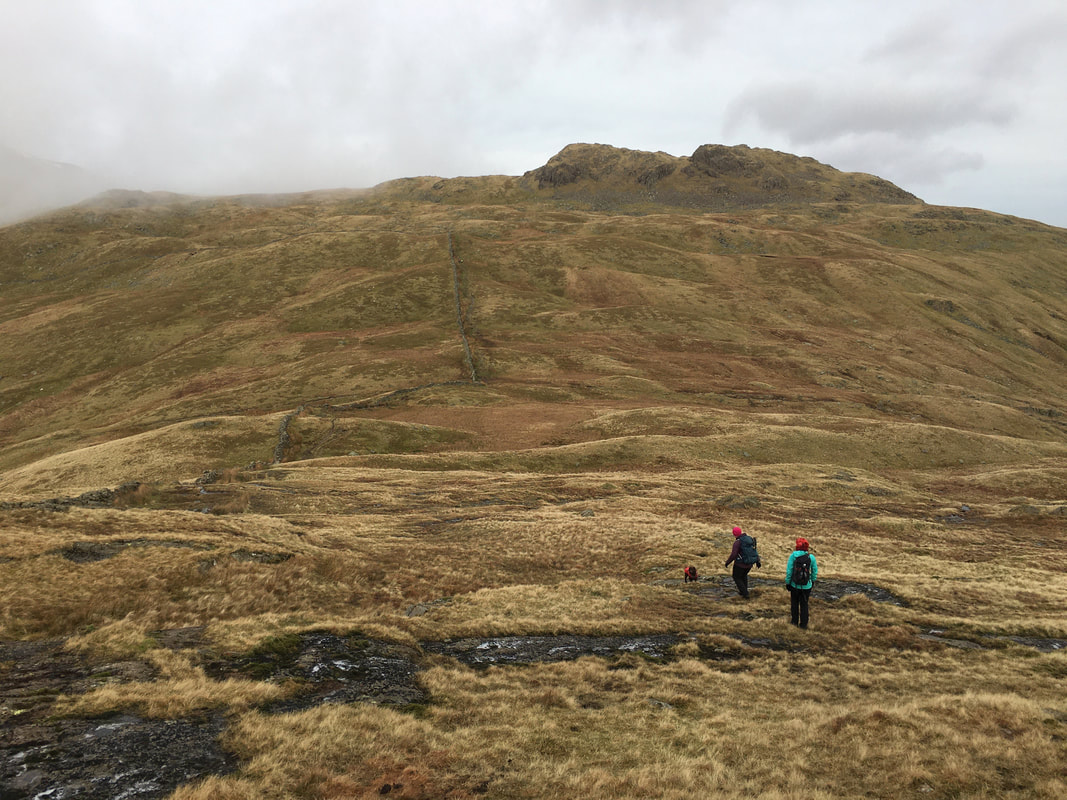
Heading for Middle Dodd which is an easy amble over grass and is a much better way than climbing right up the nose from the Brothers Water side. We have only climbed straight up the face once and a walk report can be found here.
It was starting to get decidedly murky now as we arrived at the summit of Middle Dodd. Place Fell dominates the view ahead with Brothers Water sitting below.
The summit of Middle Dodd
From Middle Dodd we headed back towards Red Screes to then branch off right to drop down to the Scandale Pass
Descending to the top of the Scandale Pass with our next goal of Little Hart Crag ahead
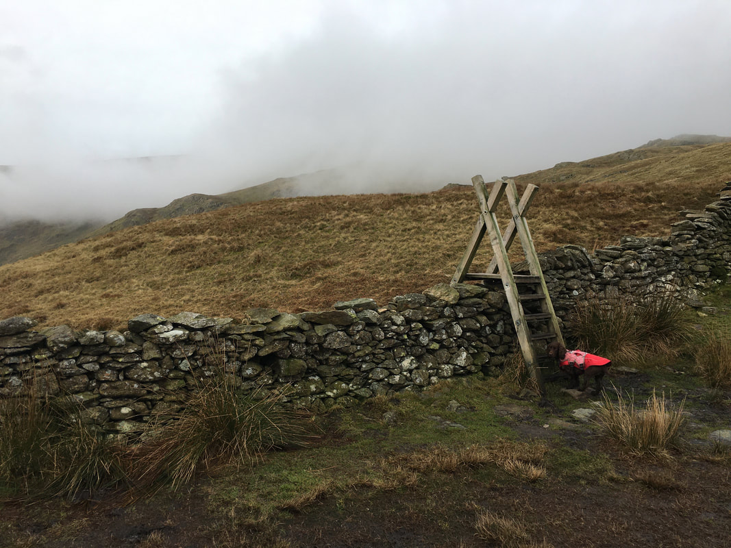
The stile at the top of the Scandale Pass - no Fudge, not that way today mate.
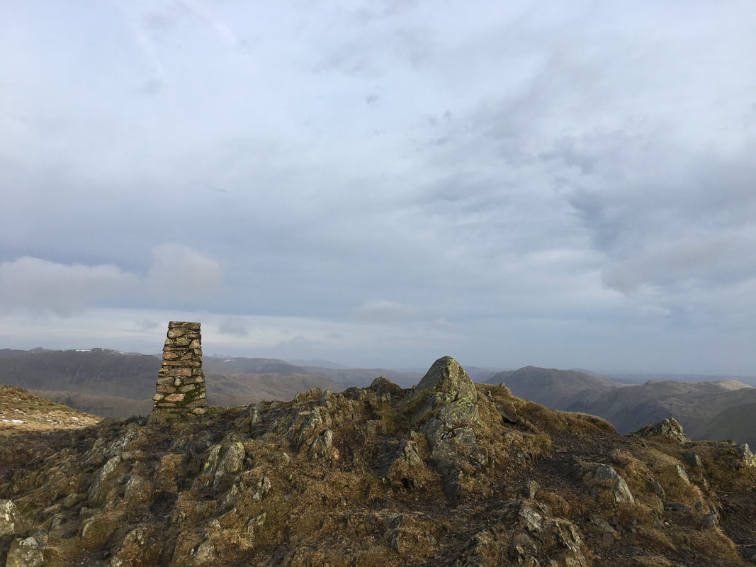
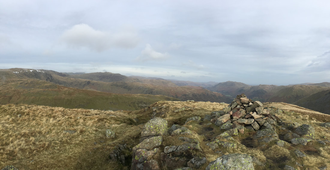
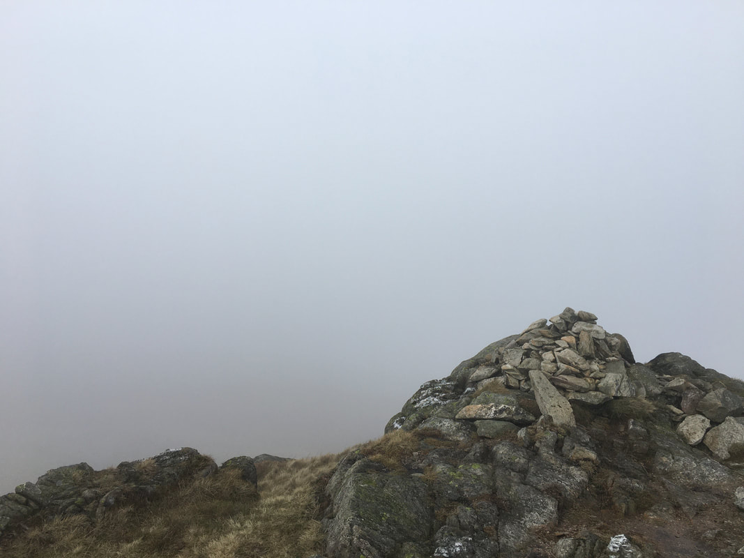
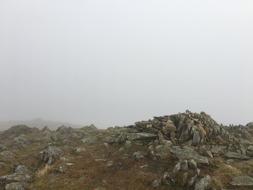
Shortly before making the climb to the summit of Little Hart Crag, the cloud came in and enveloped us in horrible clag. We could have been anywhere, however this is the summit cairn on Little Hart Crag.
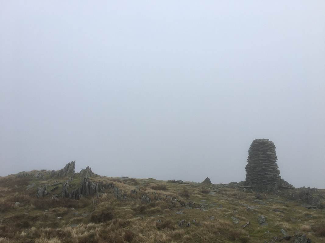
From Little Hart Crag we navigated ourselves over to the large cairn on High Bakestones. The route over to this point is not as clear on the ground as one may expect therefore it is important to be able to navigate in reduced visibility. This is normally a superb viewpoint but unfortunately not today.
From High Bakestones we joined the route of the Fairfield Horseshoe to reach the summit of Dove Crag
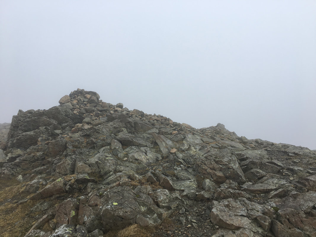
Further along the Horseshoe we reached the summit of Hart Crag - such a shame we lost the visibility but hey ho, that's fell walking.
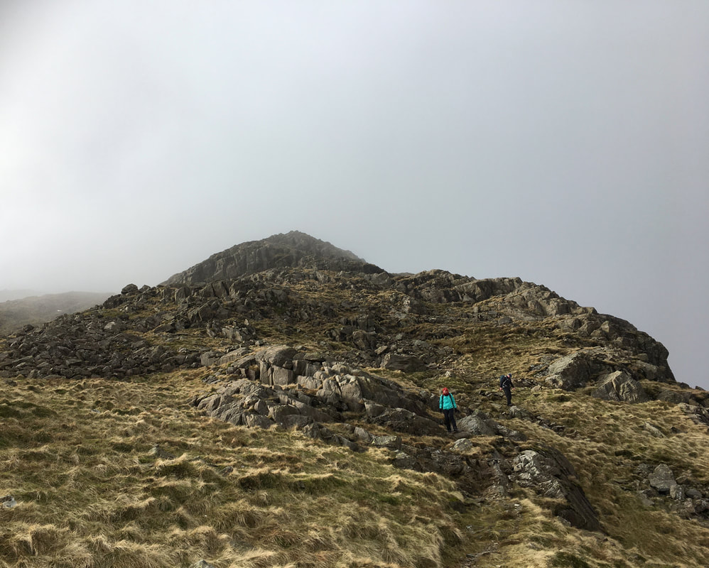
From Hart Crag the route heads down over a rough path to begin the long stretch over to Hartsop above How
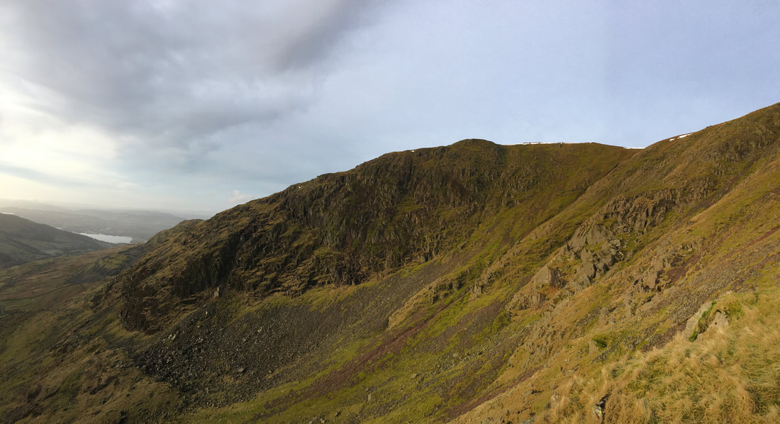
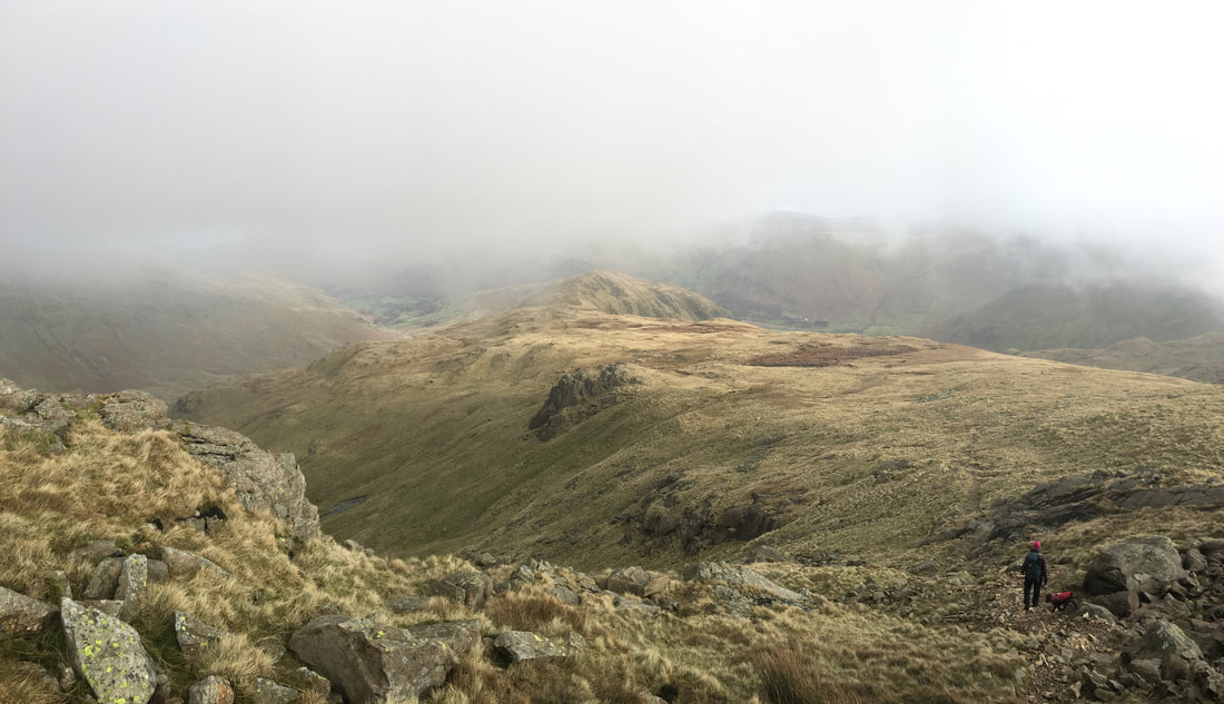
Looking back up to the descent from Hart Crag - it is certainly worth taking your time over this section until easier ground is reached.
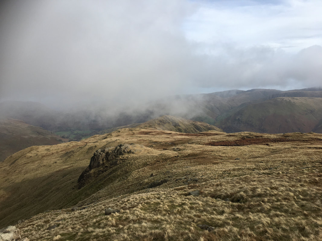
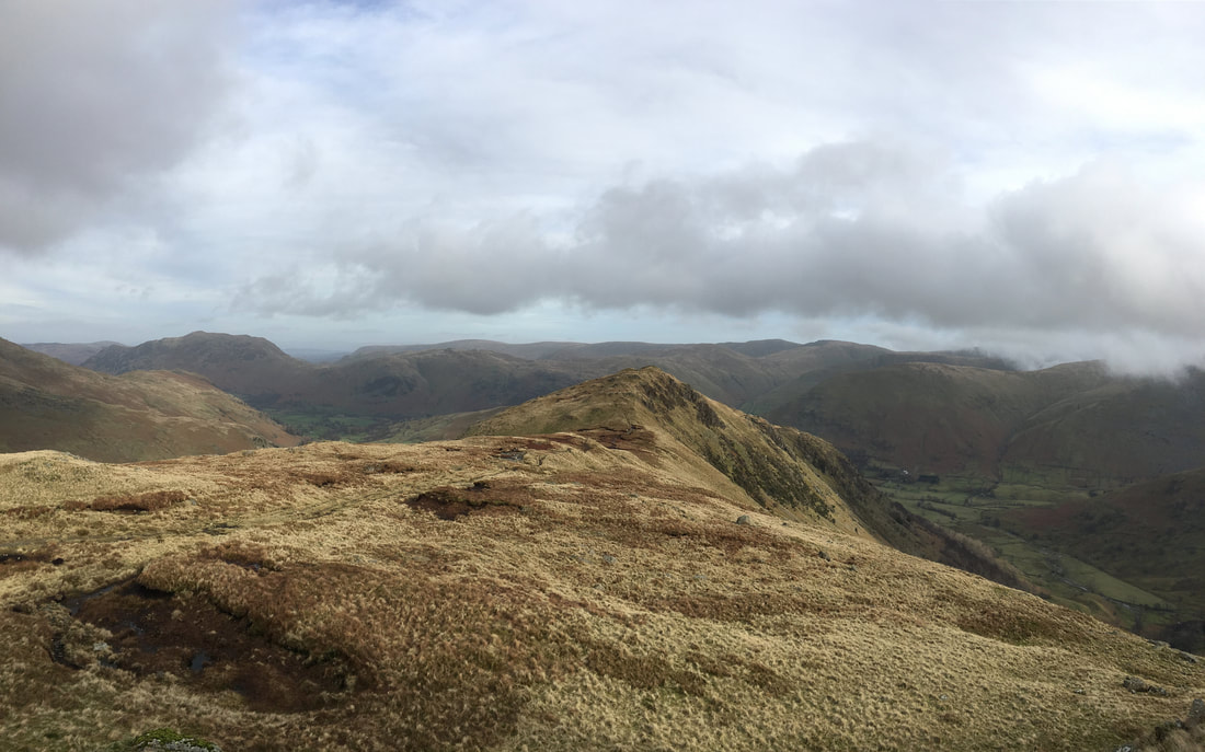
Wispy cloud was still hanging around as we continue our walk over level ground to Hartsop above How
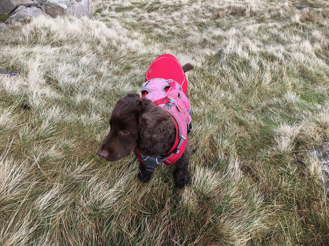
As usual Fudge was taking it all in his stride - he is not too bothered about visibility etc as long as he can mess about.
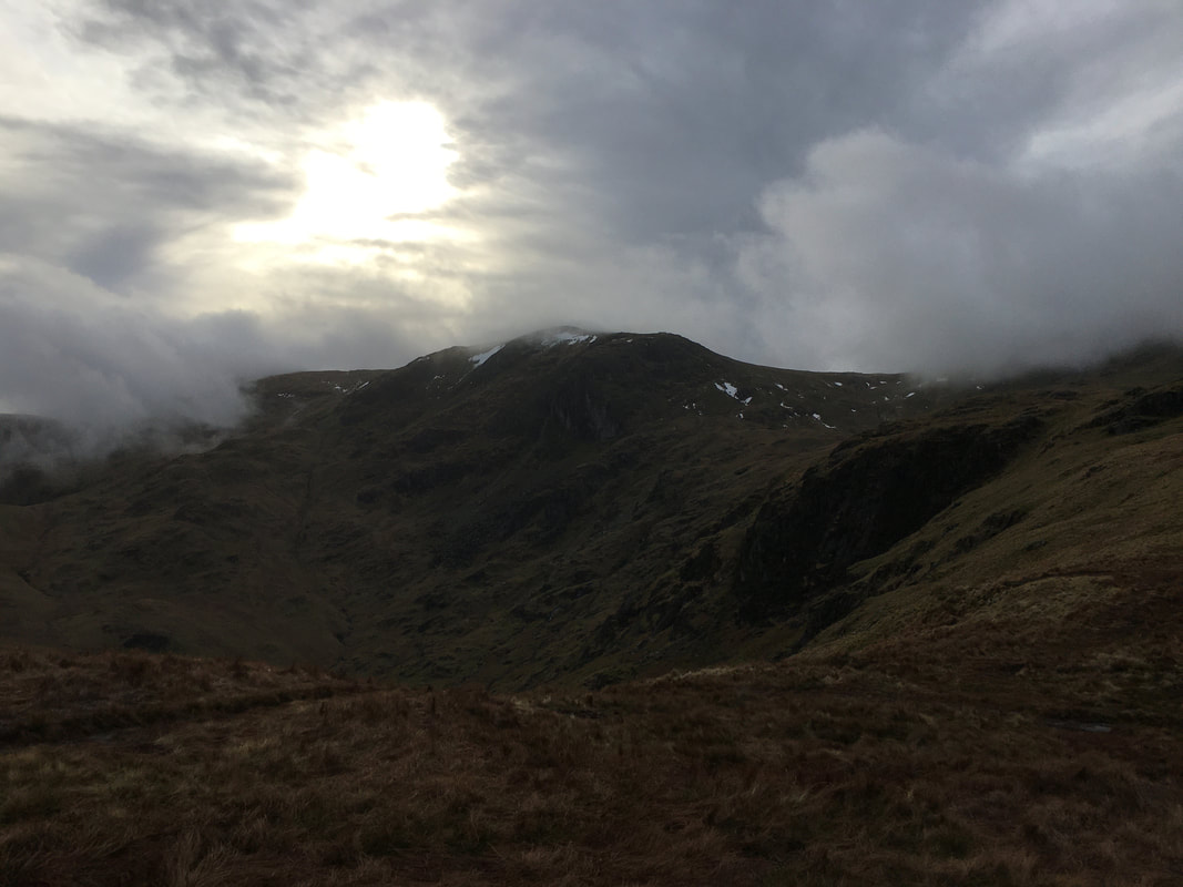
St Sunday Crag appears through the cloud with Hart Crag to the left
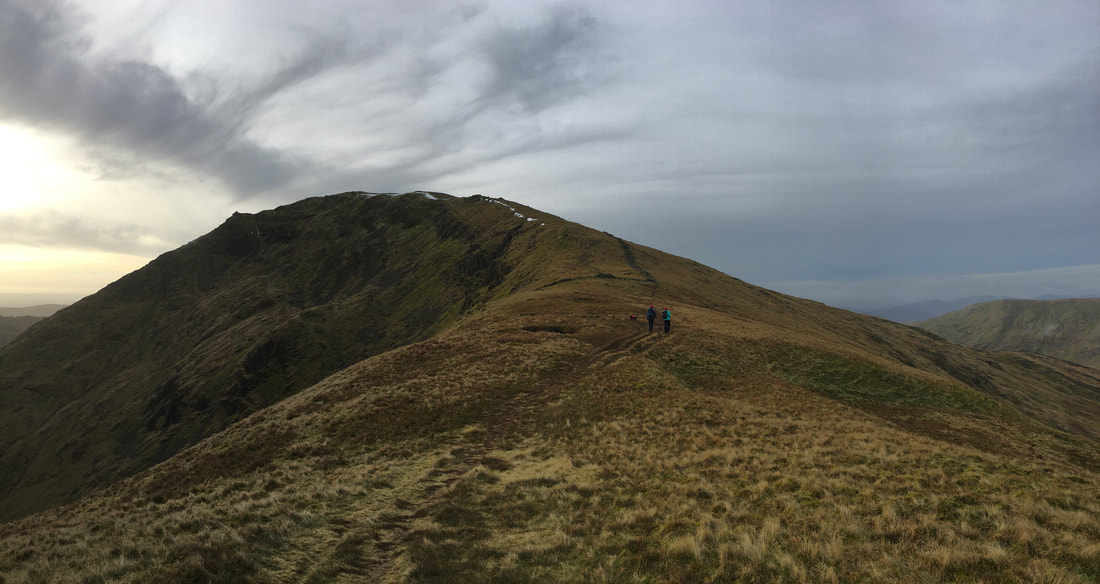
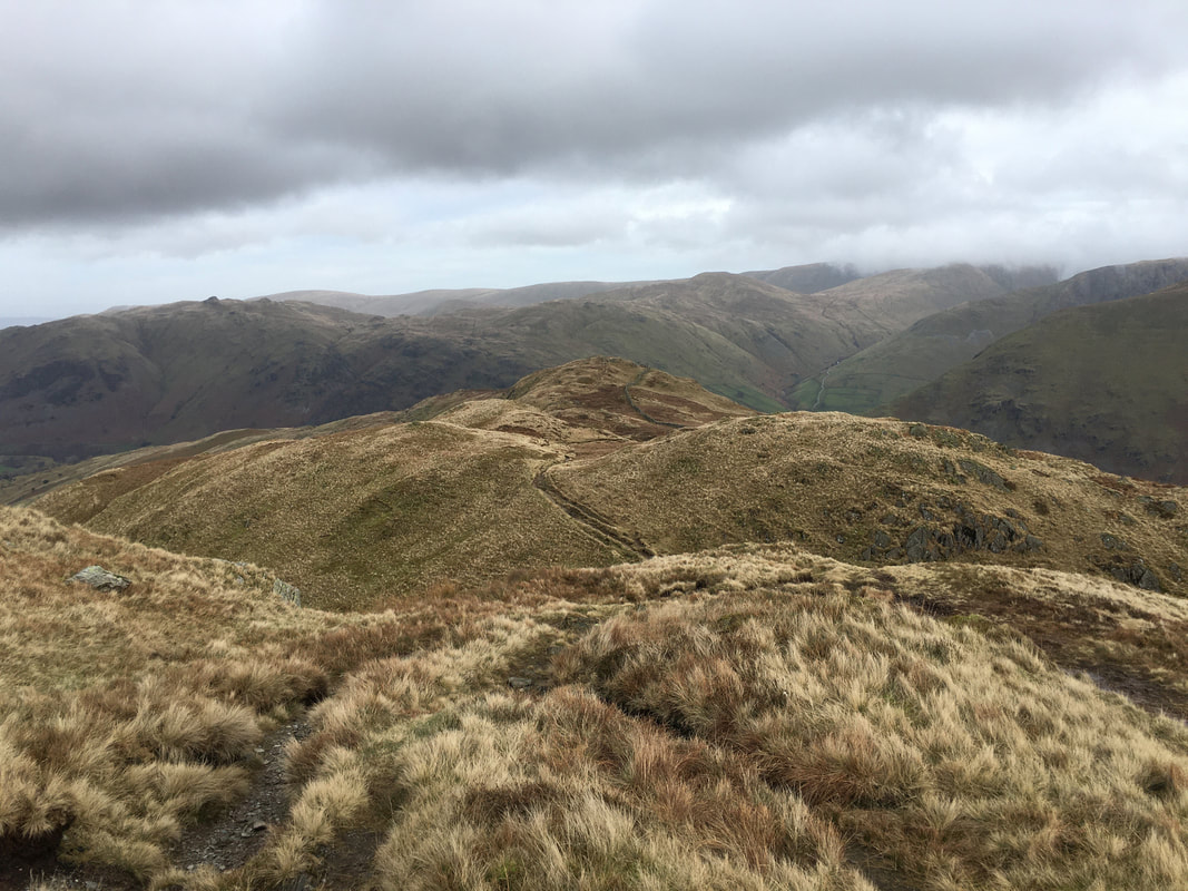
Almost there now as we continue along the ridge - it seemed never ending.
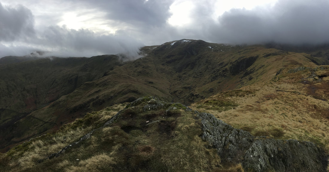
An atmospheric shot of Dove Crag, now free of the cloud.
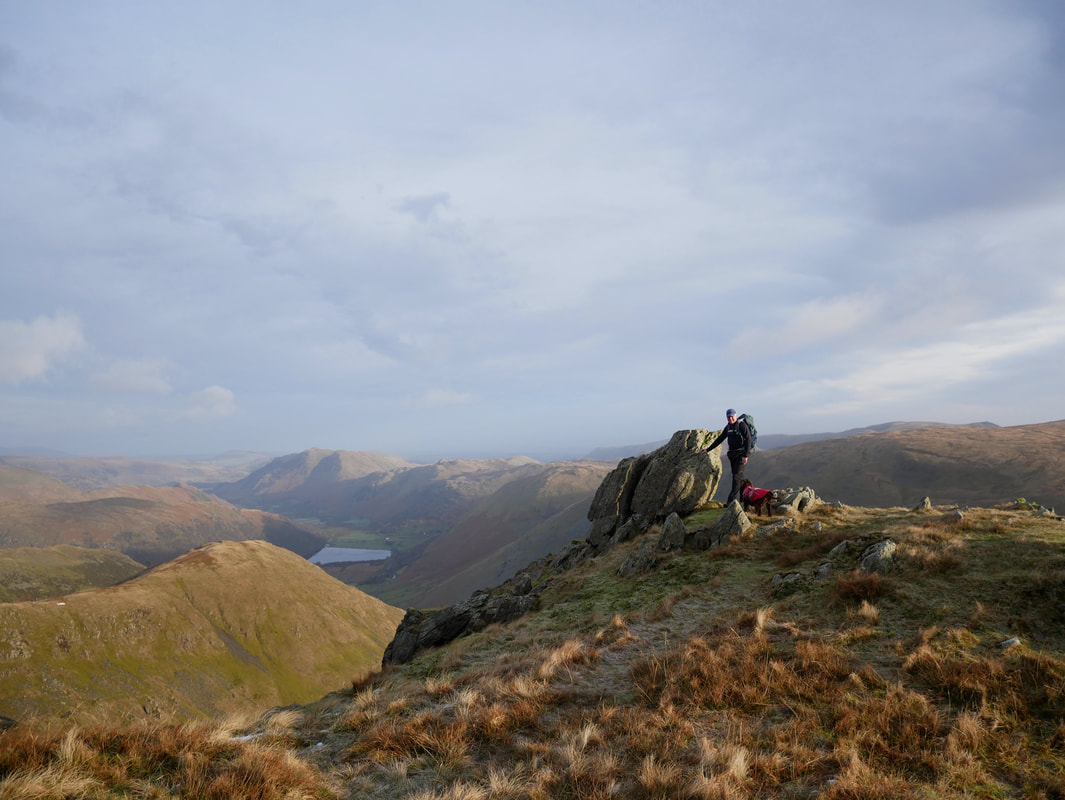
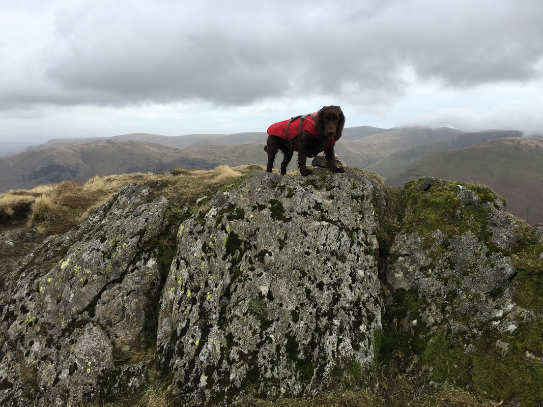
A mean and moody Fudge on the rocky outcrop that marks the summit of Hartsop above How
The summit of Hartsop above How looking to Dove Crag
Whilst we had reached our final summit of the day, it was still a fair way along the ridge before we could think about descending back to Cow Bridge.
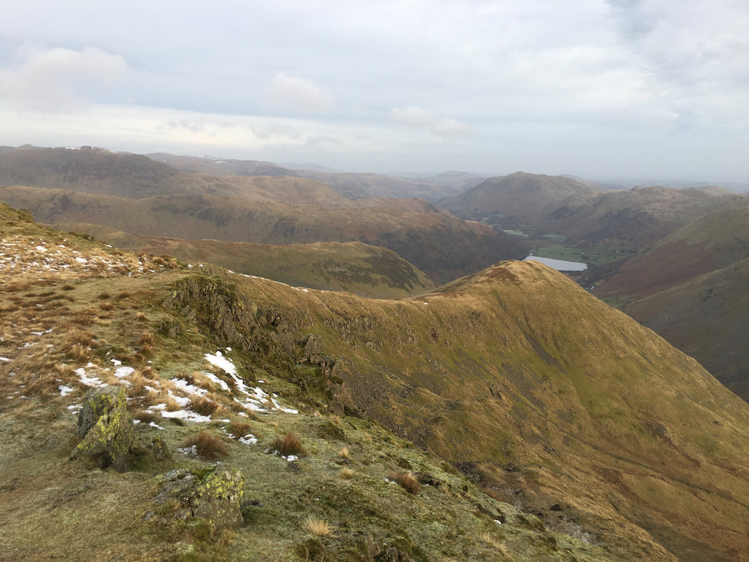
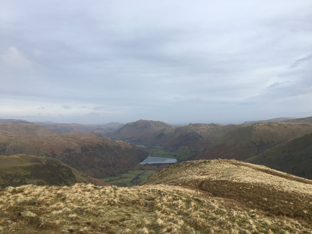
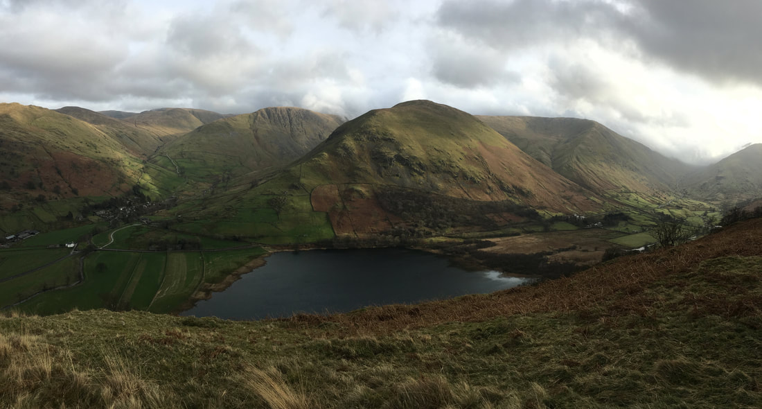
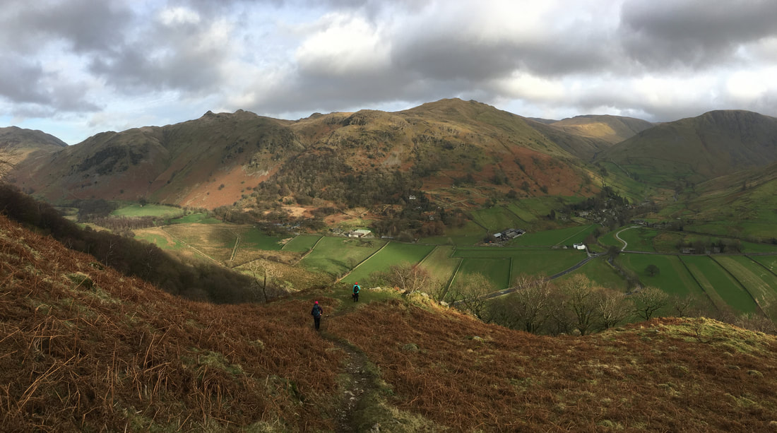
The start of the descent down to Low Wood gives great views over Brothers Water to Hartsop Dodd & beyond
Nearing journey's end as we continue steeply down to Low Wood. A good day out which tested the navigation skills which is no bad thing.
