Holme Fell, Slater's Bridge, Cathedral Cave, Black Fell & Tarn Hows - Monday 16 March 2020
Route
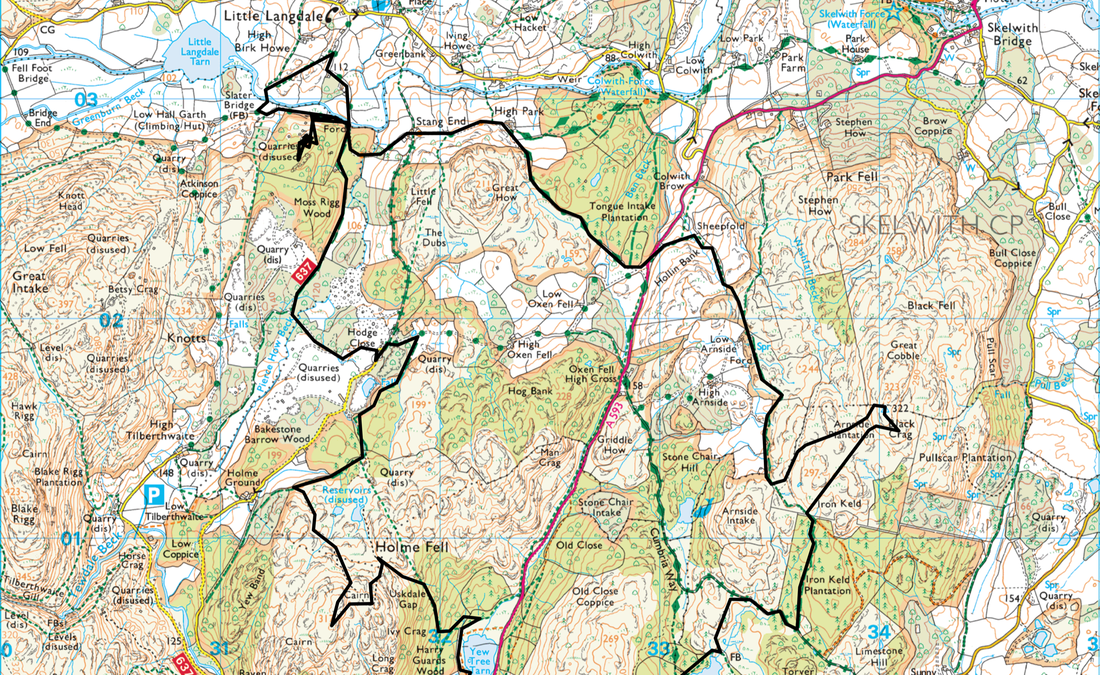
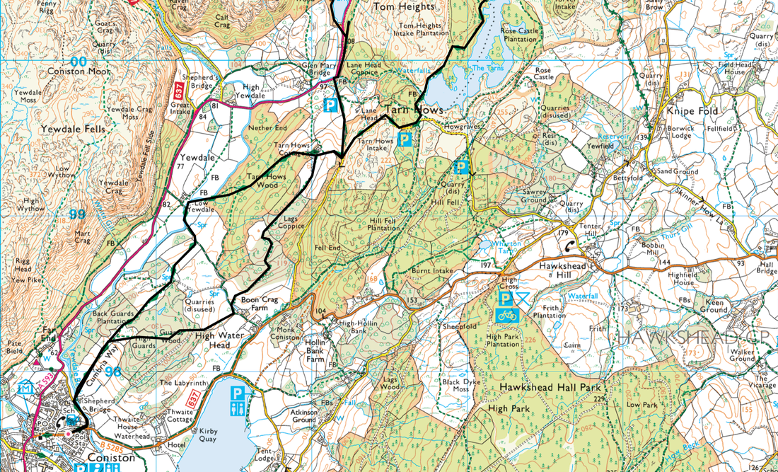
Coniston - Low Yewdale - Tarn Hows Wood - Glen Mary Bridge - Yew Tree Tarn - Uskdale Gap - Holme Fell - Hodge Close - Slater's Bridge - Cathedral Cave - Stang End - A593 - Low Arnside - Black Fell (Black Crag) - Iron Keld - Tarn Hows - Lags Coppice - Boon Crag Farm - Guards Wood - Coniston
Parking
Plenty of Parking in Coniston both free and Pay & Display
Mileage
15.4 miles
Terrain
Good mountain and farmland paths throughout.
Weather
Mixed - sunny & fresh in the morning turning to overcast in the afternoon.
Time Taken
8hrs
Total Ascent
3110ft (948m)
Wainwrights
2
Map
OL6 - The English Lakes (South Western Area)
Walkers
Dave, Angie & Fudge
|
GPX File
|
| ||
If the above GPX file fails to download or presents itself as an XML file once downloaded then please feel free to contact me and I will send you the GPX file via e-mail.
Route Map
We started the walk from the centre of Coniston and headed along the B5285 towards Shepherd's Bridge.
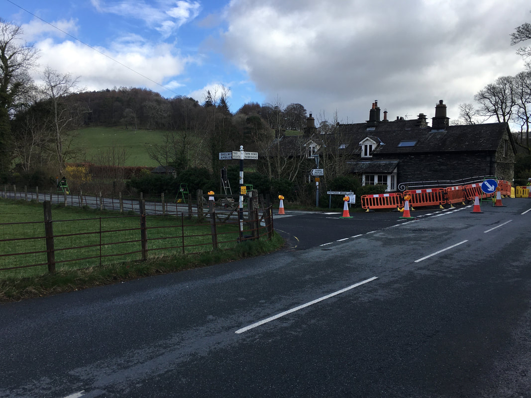
Just before the bridge is Shepherd's Bridge Lane and we turned left to head along it in the direction of Ambleside.
Just before the bridge is Shepherd's Bridge Lane and we turned left to head along it in the direction of Ambleside.
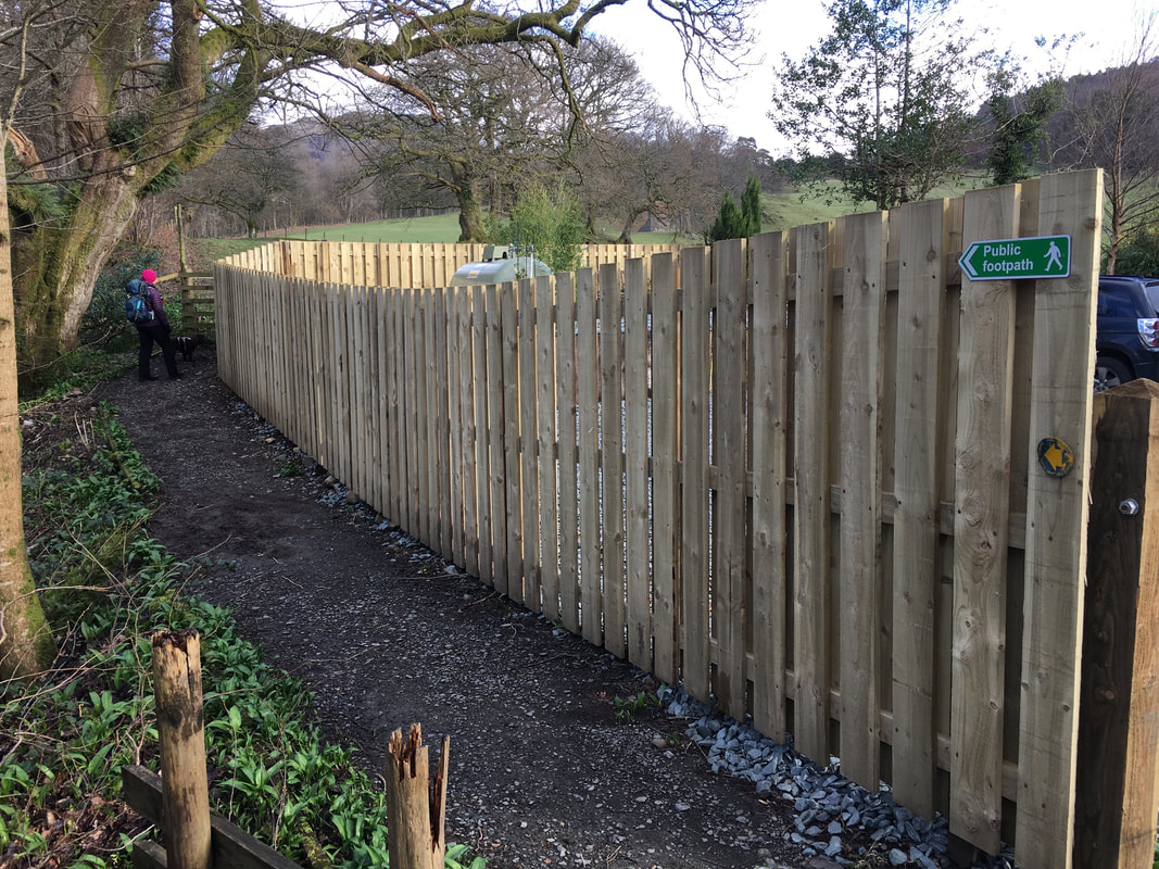
A few hundred yards along the lane just past the Sports Ground is a footpath which leads on to open farmland
Looking across to the Yewdale Fells
Leaving Coniston on The Cumbria Way.
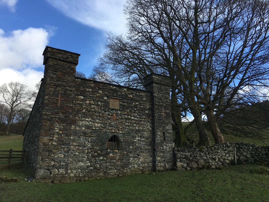
The building here is actually a Dog House and was built by the owners of the Monk Coniston Estate to provide the Coniston Fox Hounds with a home.
The building here is actually a Dog House and was built by the owners of the Monk Coniston Estate to provide the Coniston Fox Hounds with a home.
At High Guards the path splits and we headed left towards Low Yewdale - the path to the right would be our return route
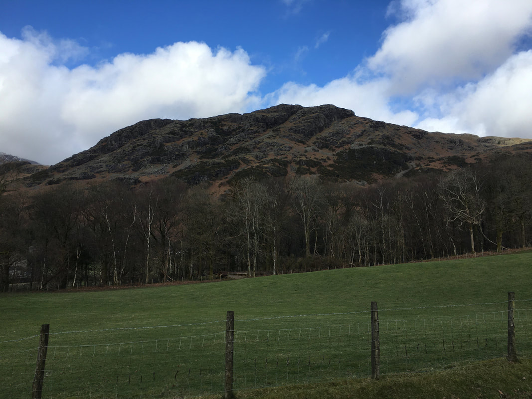
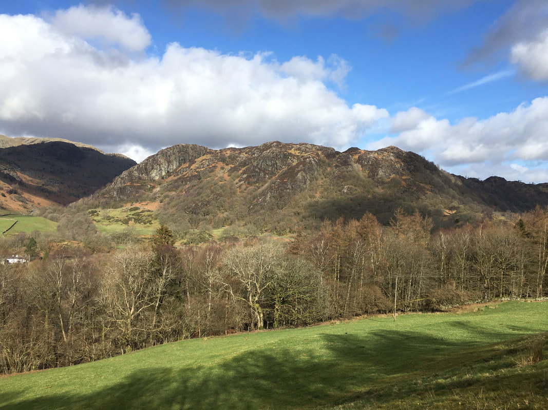
Yewdale Crag to the left with our destination of Holme Fell lit up by the sun
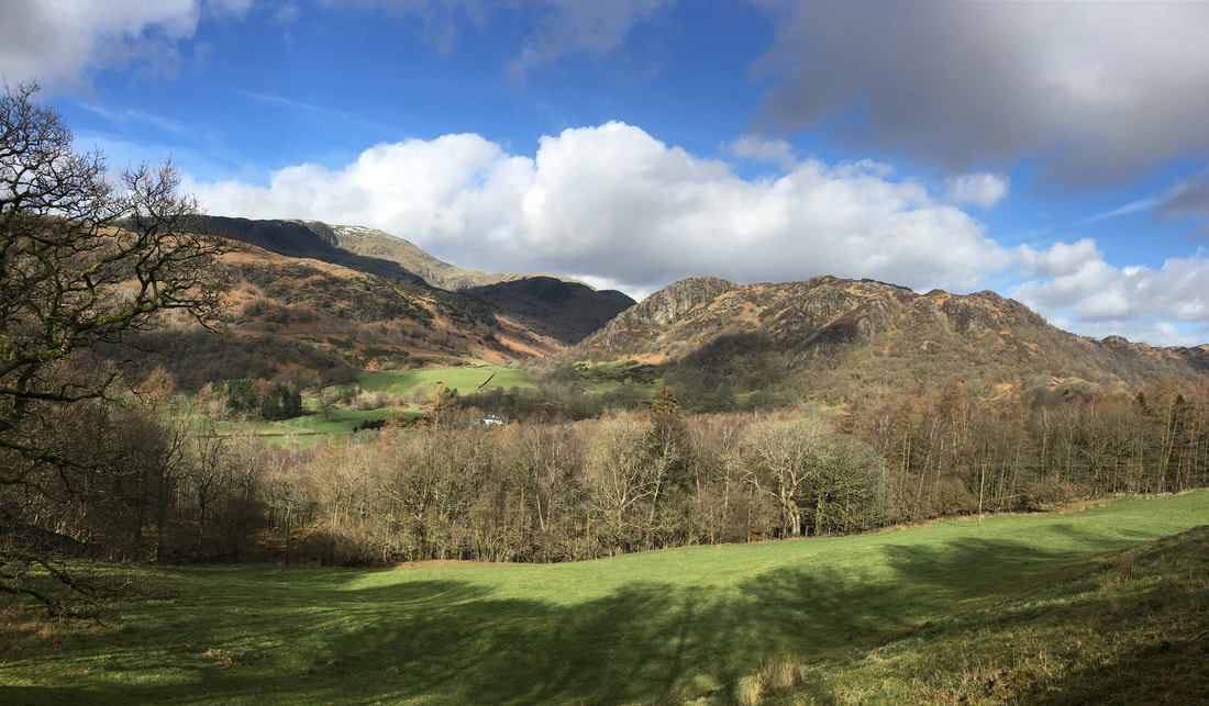
Holme Fell from near Low Yewdale
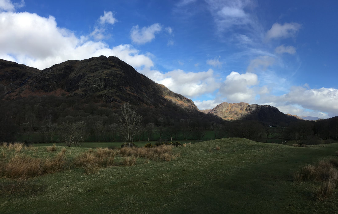
A wider shot from the same point as the pic above - this time with Wetherlam in view to the left
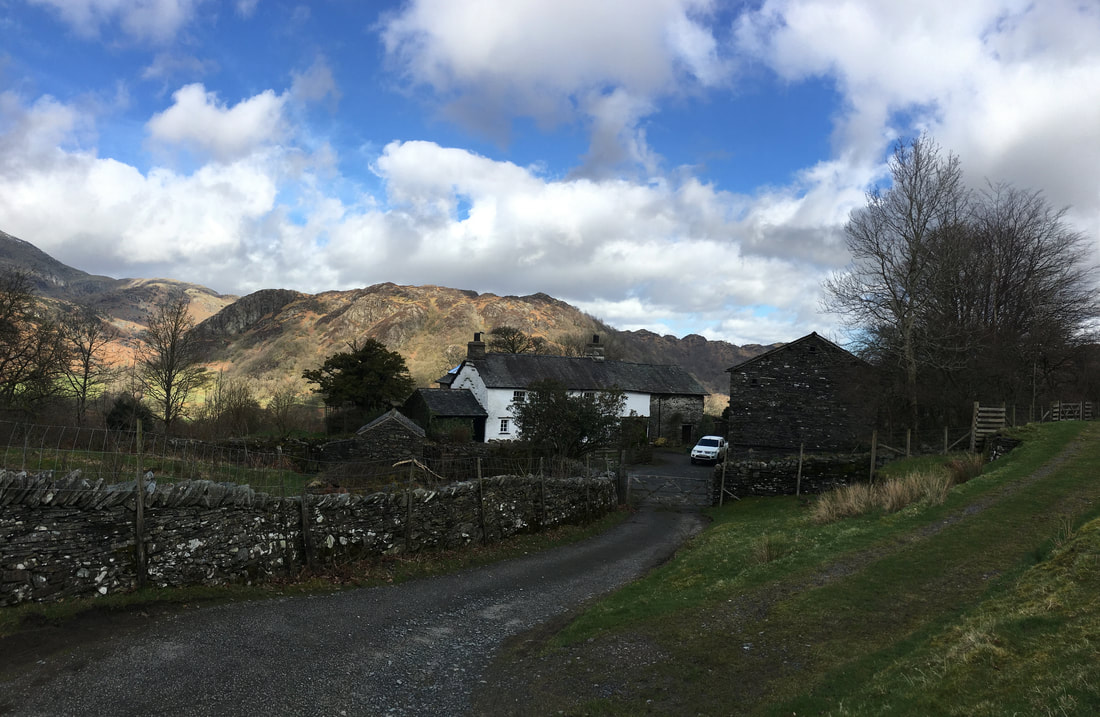
Tarn Hows Cottage - our path continues up the track to the right
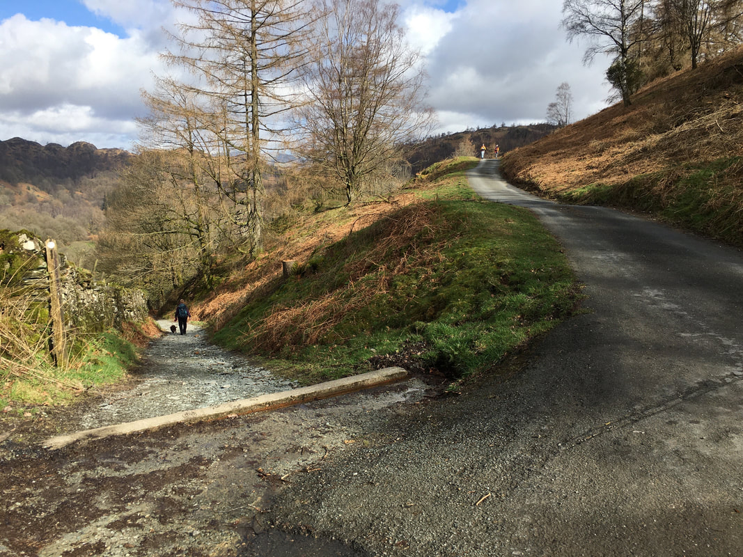
Just after Tarn Hows Cottage our route split again - Angie & Fudge head steeply downhill towards Glen Mary Bridge.
The road to the right leads to the picturesque Tarn Hows and would be our return route
The road to the right leads to the picturesque Tarn Hows and would be our return route
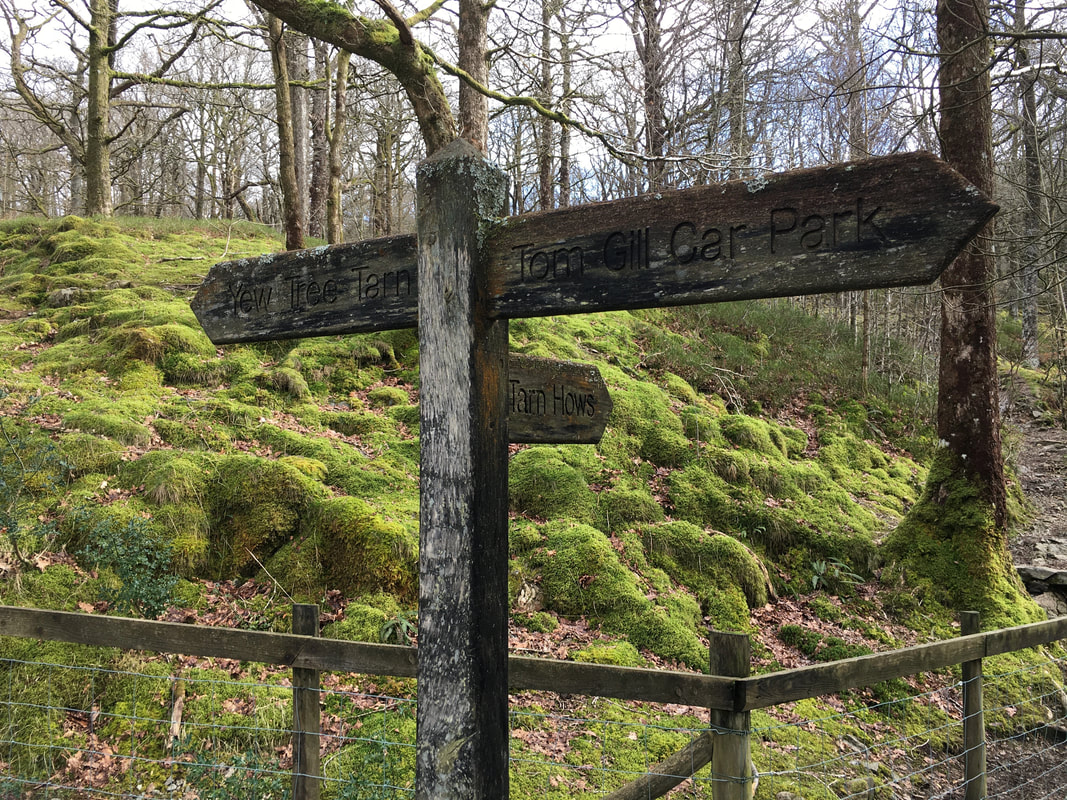
The signpost near Glen Mary Bridge at the Tom Gill Car Park - we were off in the direction of Yew Tree Tarn
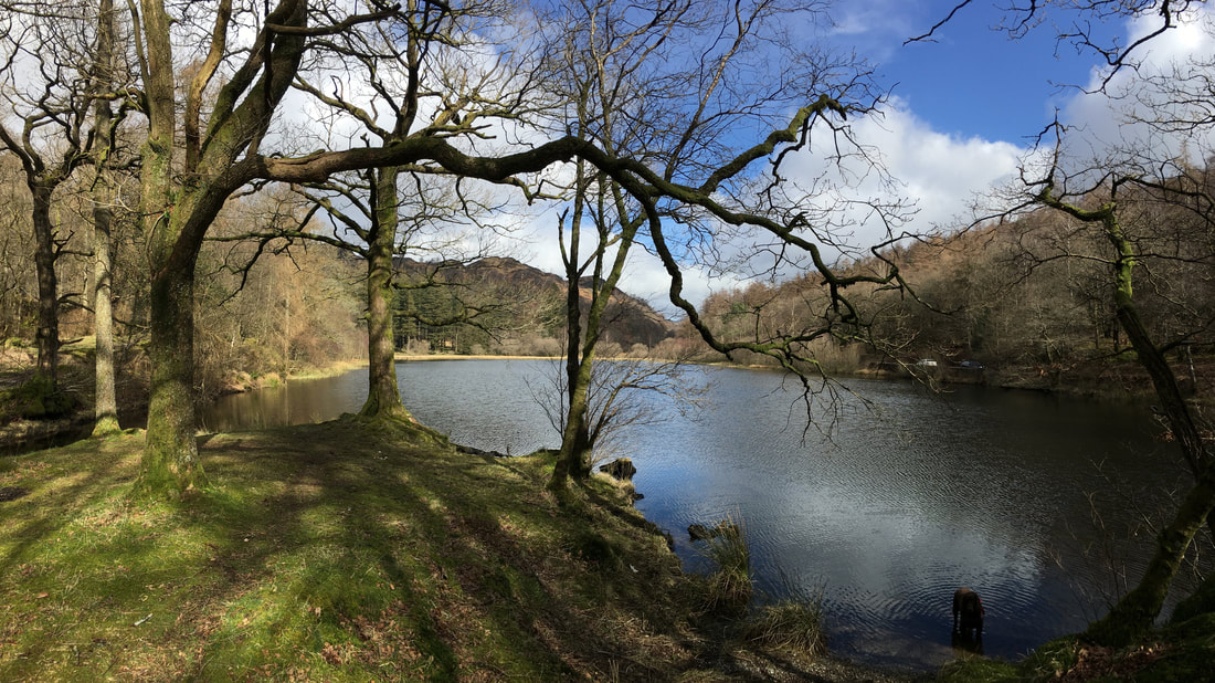
Yew Tree Tarn
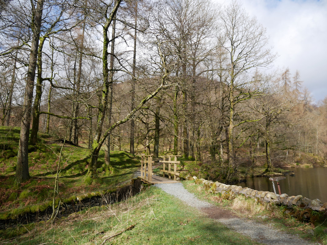
The route crosses the dam wall and heads over a small bridge - complete with sluice gate wheel
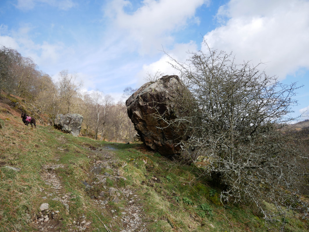
From the bridge a good path heads up to a gate then uphill towards the Uskdale Gap, passing by a large erratic boulder.
Don't bark Fudge or you will have the boulder making its way down the fell side.
Don't bark Fudge or you will have the boulder making its way down the fell side.
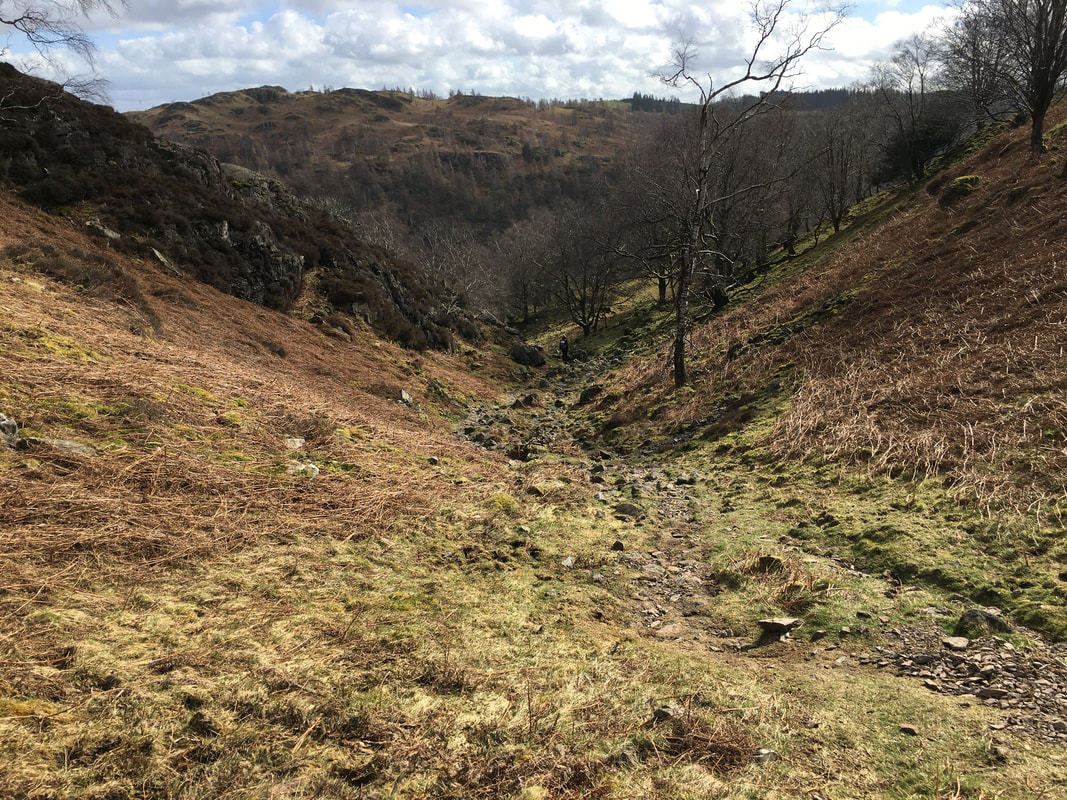
Heading up the Uskdale Gap
Looking back down our route of ascent up the Uskdale Gap with Tom Heights to the rear
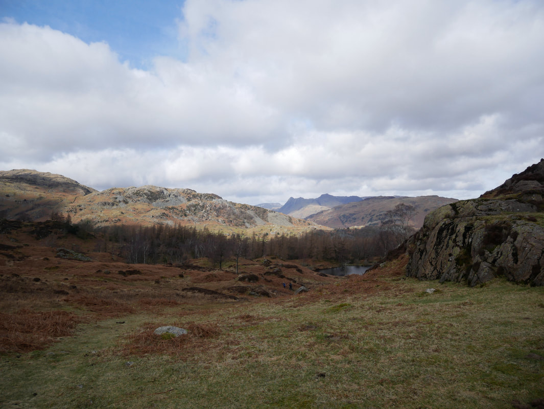
At the top of the Uskdale Gap the Langdale Pikes come into view
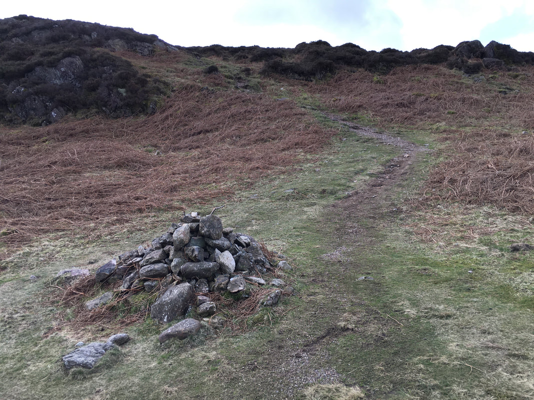
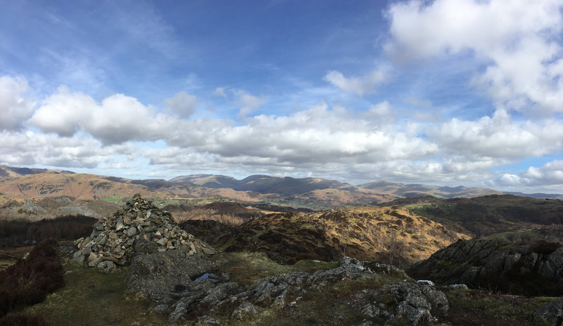
A cairn at a junction of paths at the top of the Uskdale Gap.
We were heading along the path in the photo but there are a couple of paths heading off left & right therefore make sure you take the correct one.
We were heading along the path in the photo but there are a couple of paths heading off left & right therefore make sure you take the correct one.
Looking down to the cairn featured in the previous photograph.
The Uskdale Gap ascent is to the right and the path which I am on is the one heading to Hodge Close.
The Uskdale Gap ascent is to the right and the path which I am on is the one heading to Hodge Close.
On the ascent to Holme Fell looking to the Langdale Pikes.
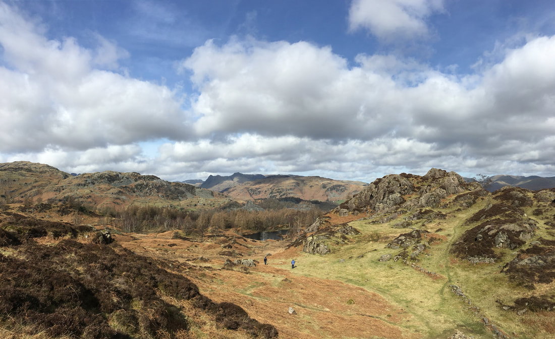
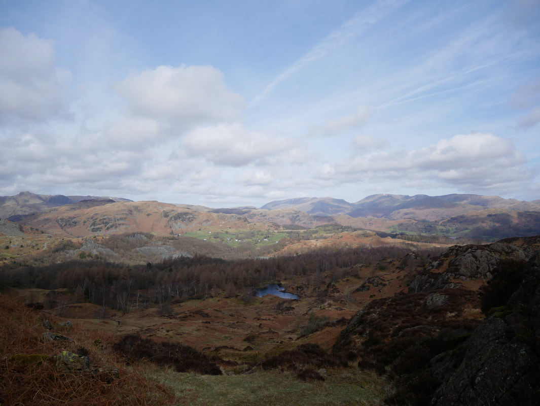
The patch of water in the centre of shot is a disused reservoir. Our route of descent from Holme Fell is over to the left.
The patch of water in the centre of shot is a disused reservoir. Our route of descent from Holme Fell is over to the left.
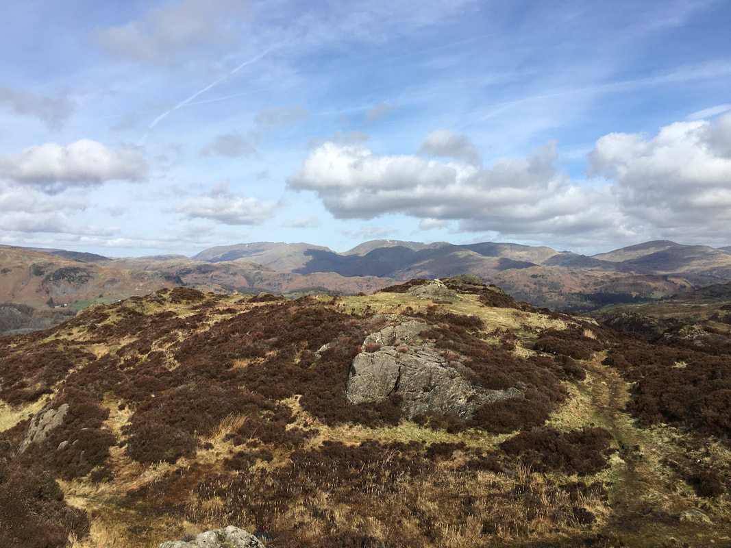
The summit of Ivy Crag with the Helvellyn Range in the far distance centre left, Fairfield to the right with Grisedale Hause in the middle.
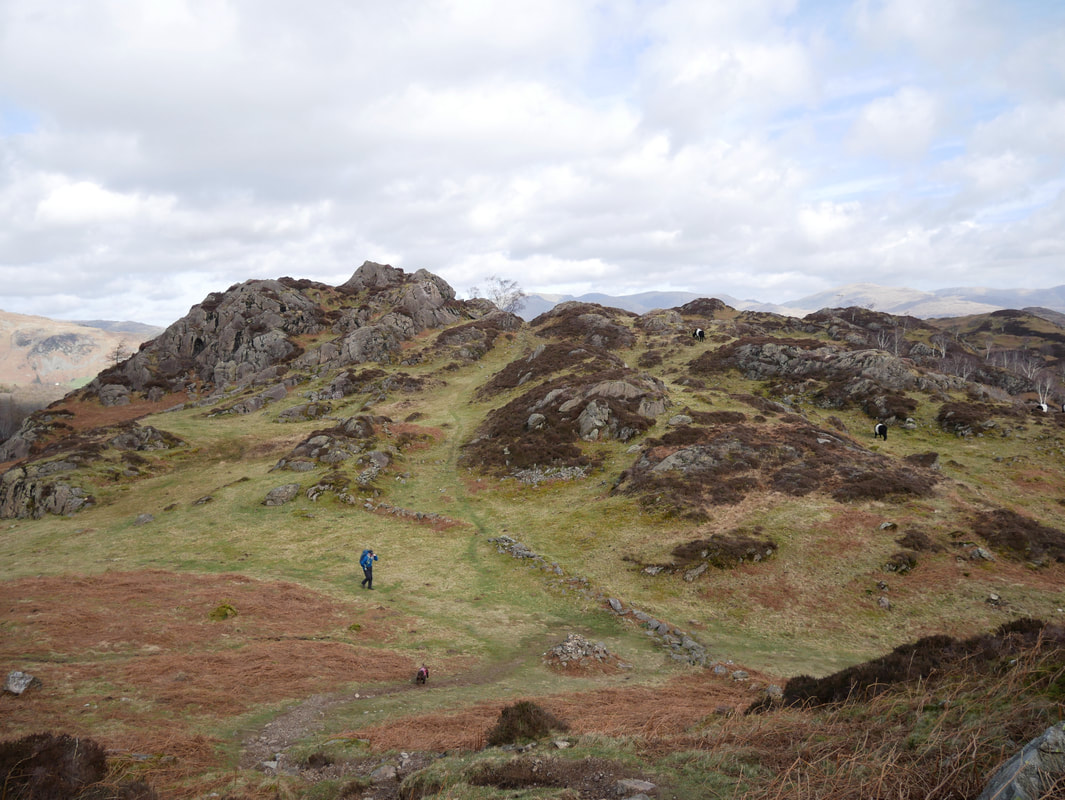
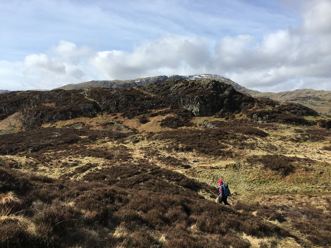
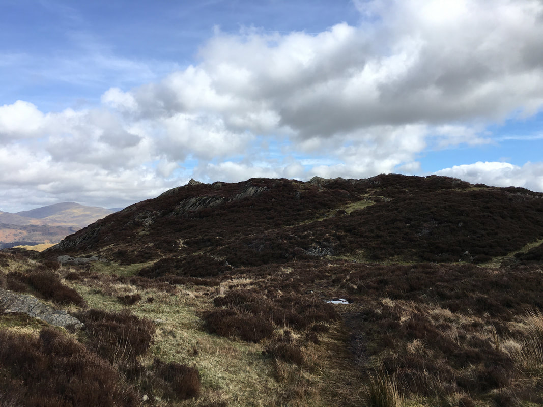
From Ivy Crag the summit of Holme Fell is gained via a grassy, heathery depression.
Looking back to Ivy Crag from the depression
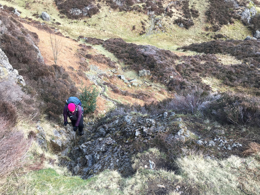
From the grassy depression the summit of Holme Fell is gained via a short, rocky scramble
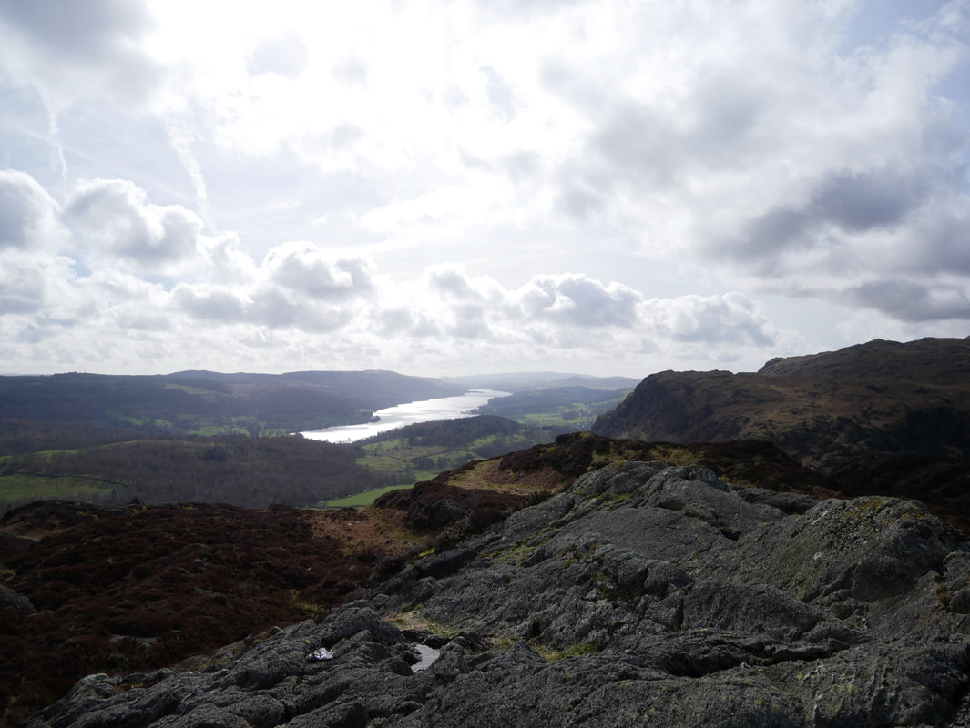
Looking to Coniston Water & the Yewdale Fells from the summit of Holme Fell
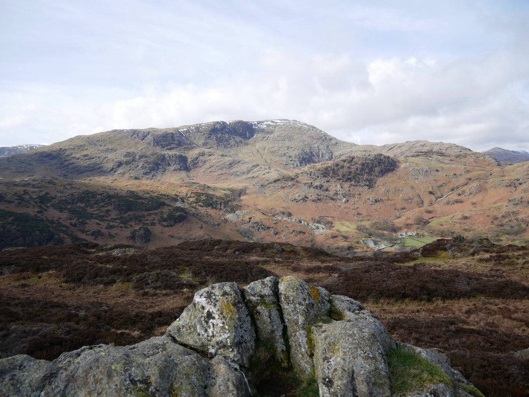
Wetherlam from the summit of Holme Fell
The summit of Holme Fell
Our route down from Holme Fell towards Hodge Close - a walker can just about be seen on our path
Descending from Holme Fell.
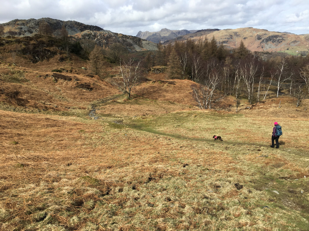
Fudge seems to be enjoying himself as he races on ahead.
Fudge seems to be enjoying himself as he races on ahead.
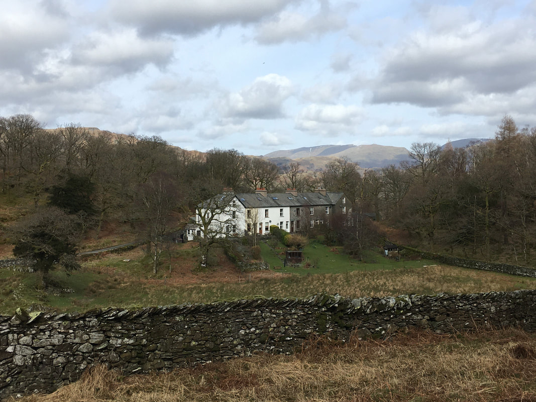
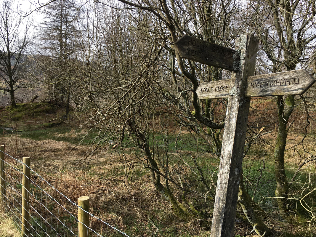
The cottages at Holme Ground
The farm at Holme Ground (out of shot to the left) was bought by Beatrix Potter in the 1930s and was bequeathed to the National Trust.
The farm at Holme Ground (out of shot to the left) was bought by Beatrix Potter in the 1930s and was bequeathed to the National Trust.
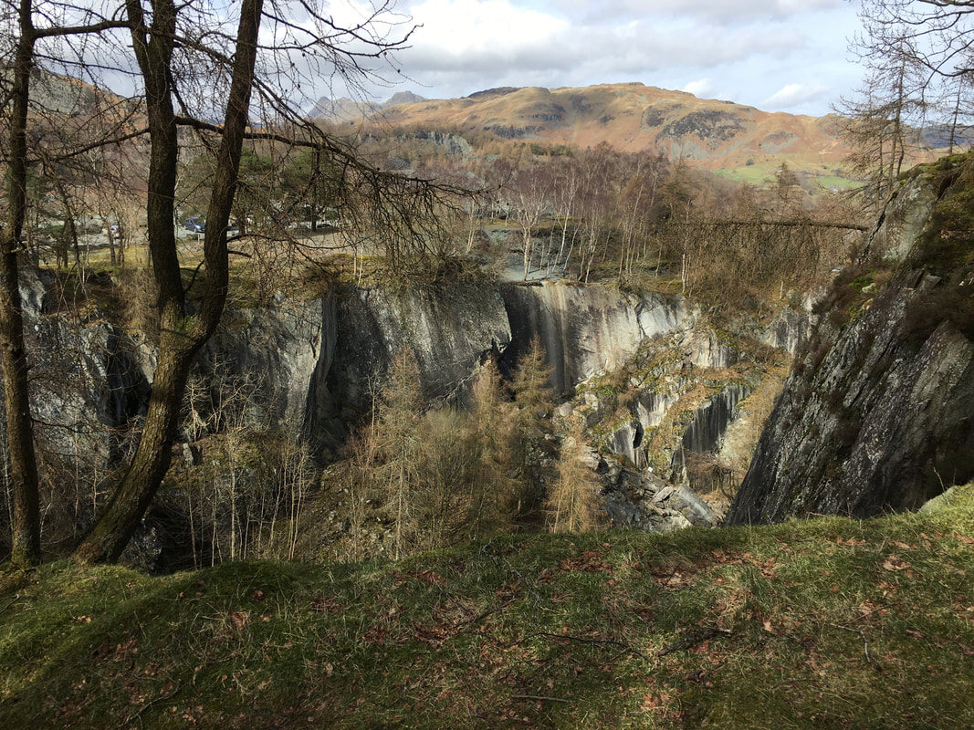
Hodge Close Quarry
Hodge Close Quarry is just one of many slate workings in the Tilberthwaite Valley, between Langdale and Coniston. The quarry was worked on a large scale from the 19th century to small scale in the early 1960s. The massive excavation is of light green coloured slate, sheer-sided and unfenced, with an original worked depth from ground level of about 100m (300 feet). The 150 feet deep face is a favourite with abseilers, while the 150 feet deep flooded workings which extend below the surface are popular with divers.
Hodge Close Quarry is just one of many slate workings in the Tilberthwaite Valley, between Langdale and Coniston. The quarry was worked on a large scale from the 19th century to small scale in the early 1960s. The massive excavation is of light green coloured slate, sheer-sided and unfenced, with an original worked depth from ground level of about 100m (300 feet). The 150 feet deep face is a favourite with abseilers, while the 150 feet deep flooded workings which extend below the surface are popular with divers.
Near the quarry is a junction of paths . We were off in the direction of the small settlement at Hodge Close and had come from the direction of Yewdale. Heading right is a path which leads back to the A593 and is one we would have taken had we not been intending to visit Cathedral Cave & Slater's Bridge.
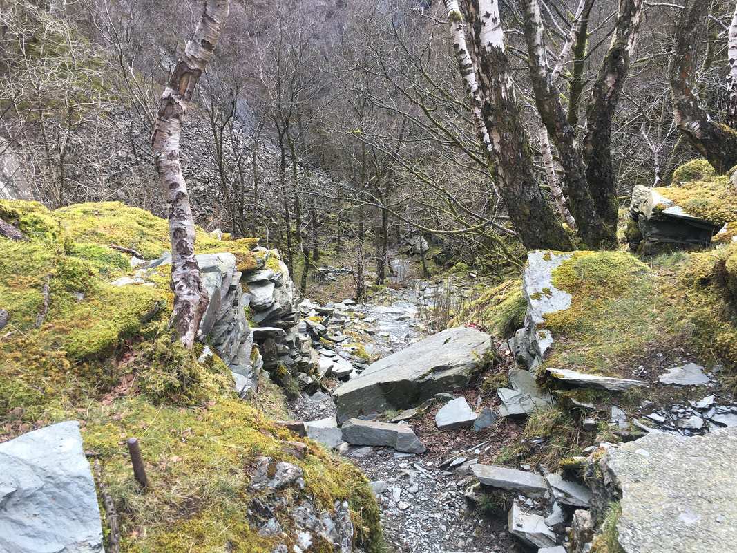
The route heads down to the valley floor from the top edge of the quarry workings
The bridge leading to Little Langdale which crosses the River Brathay.
We did not cross here but headed to the left towards Cathedral Cave and Slater's Bridge. We would cross the bridge from the other side later on in the walk.
We did not cross here but headed to the left towards Cathedral Cave and Slater's Bridge. We would cross the bridge from the other side later on in the walk.
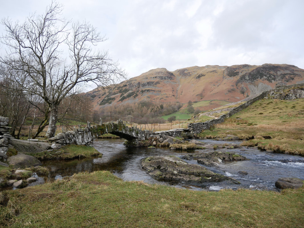
The beautiful Slater's Bridge over the River Brathay looking to Lingmoor Fell
The structure is a traditional packhorse bridge and dates back to the 17th Century and became a listed building in 1967. Built of slate, it consists of a 15ft segmental arch and a flatter span built of slabs, and incorporates a natural boulder in midstream. The bridge is thought to have been created by miners working in the nearby Tilberthwaite Fells. Wainwright himself loved the bridge calling it "the most picturesque footbridge in Lakeland, a slender arch constructed of slate from the quarries and built to give the quarrymen a shorter access from their homes".
The structure is a traditional packhorse bridge and dates back to the 17th Century and became a listed building in 1967. Built of slate, it consists of a 15ft segmental arch and a flatter span built of slabs, and incorporates a natural boulder in midstream. The bridge is thought to have been created by miners working in the nearby Tilberthwaite Fells. Wainwright himself loved the bridge calling it "the most picturesque footbridge in Lakeland, a slender arch constructed of slate from the quarries and built to give the quarrymen a shorter access from their homes".
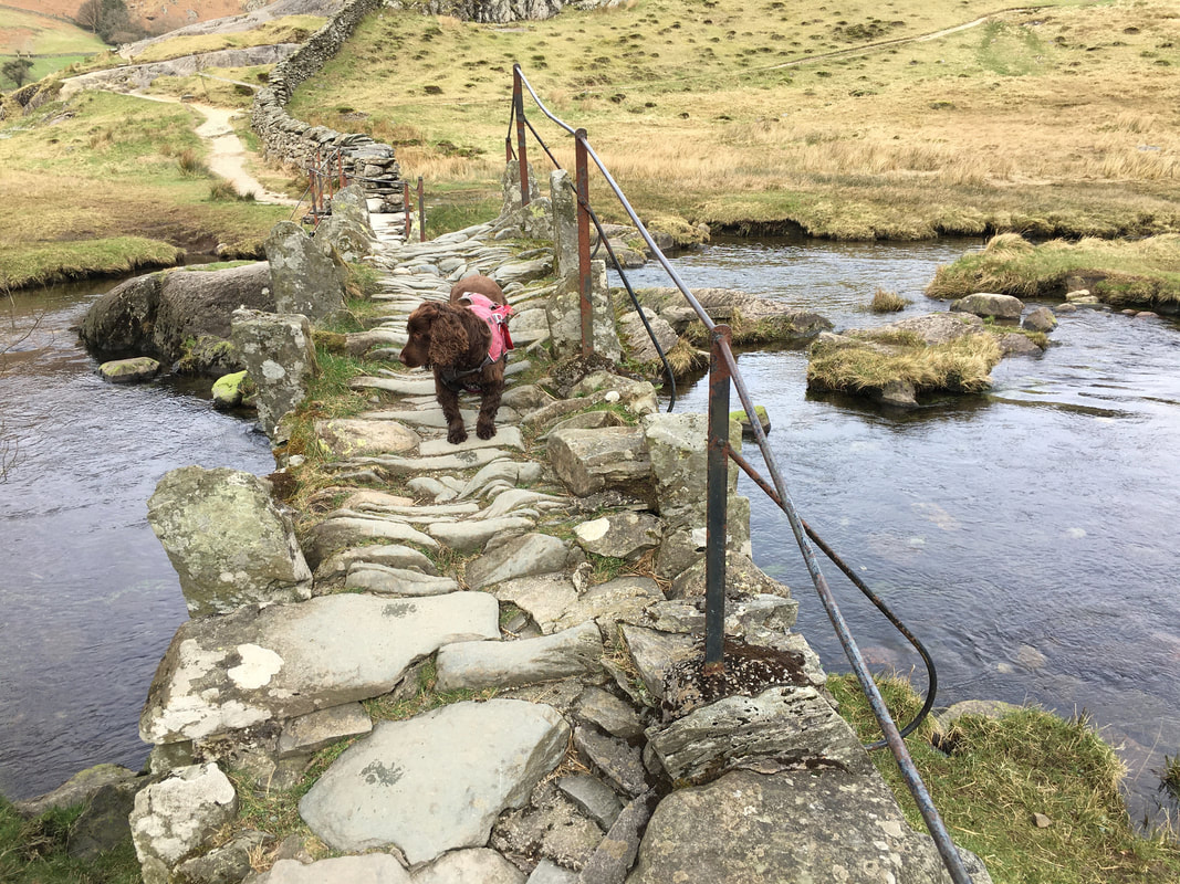
Fudge crossing Slater's Bridge - he was more interested in getting into the water.
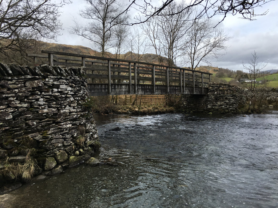
We crossed over to the other side and headed to Little Langdale and then crossed back over the Brathay via the wooden bridge further upstream. From the bridge we made the short journey to Cathedral Cave.
We crossed over to the other side and headed to Little Langdale and then crossed back over the Brathay via the wooden bridge further upstream. From the bridge we made the short journey to Cathedral Cave.
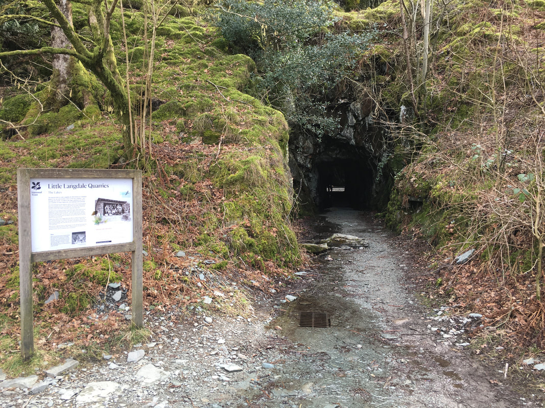
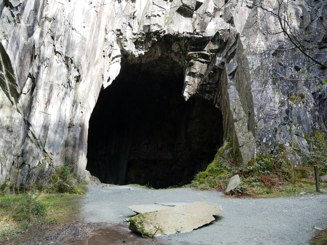
The entrance to the Little Langdale Quarries & Cathedral Cave.
The entrance can be found at Grid Ref NY 31421 02906 and the cave is accessed via a short tunnelled passageway.
The entrance can be found at Grid Ref NY 31421 02906 and the cave is accessed via a short tunnelled passageway.
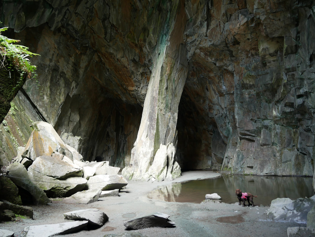
Cathedral Cave is within the Little Langdale Quarries, a small network of inter-linked quarries above Little Langdale.
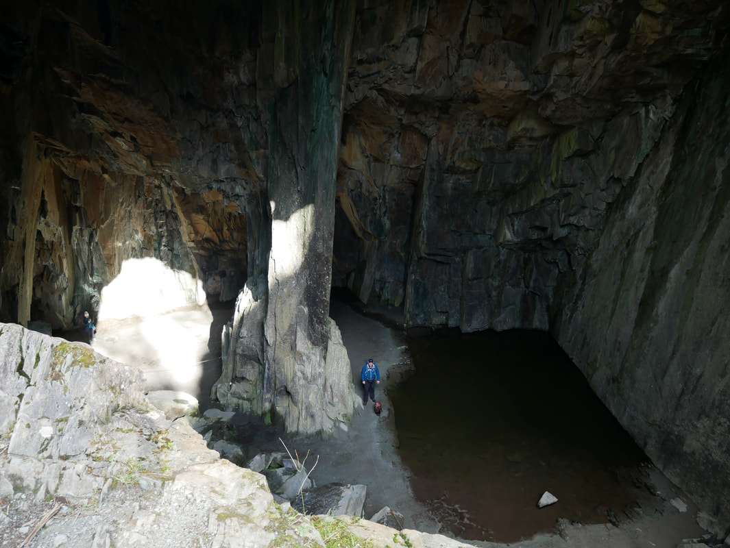
The main chamber is approximately 40ft in height and light is emitted via two rock "windows". The pool to the rear of Fudge is home to several goldfish although despite us looking quite hard, they were not seen today.
The main chamber is approximately 40ft in height and light is emitted via two rock "windows". The pool to the rear of Fudge is home to several goldfish although despite us looking quite hard, they were not seen today.
To access the viewing platform above the chamber floor a small scramble up rock is required.
We both climbed up here separately to view the platform and took it in turns to look after Fudge - the area above is no place for a dog in my opinion.
We both climbed up here separately to view the platform and took it in turns to look after Fudge - the area above is no place for a dog in my opinion.
Looking into the main chamber from above
The "window" we used to look into the main chamber - just be sensible and don't go too near the edge would be my advice.
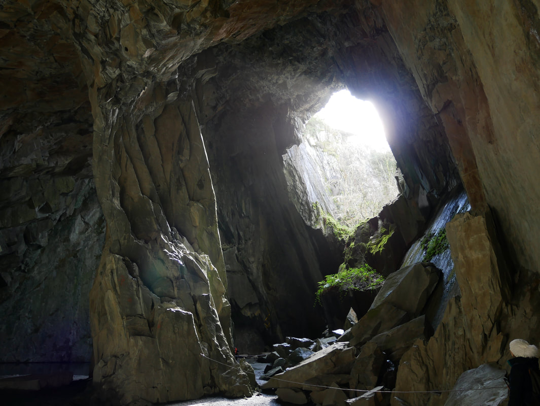
Looking to the "window" from the main chamber
After leaving Cathedral Cave we headed along the route to pass Stang End and the southern edge of Tongue Intake Plantation to cross the A593. A slanting path then heads up Hollin Bank and swings around to Low Arnside.
Above Hollin Bank heading to Low Arnside
Low Arnside
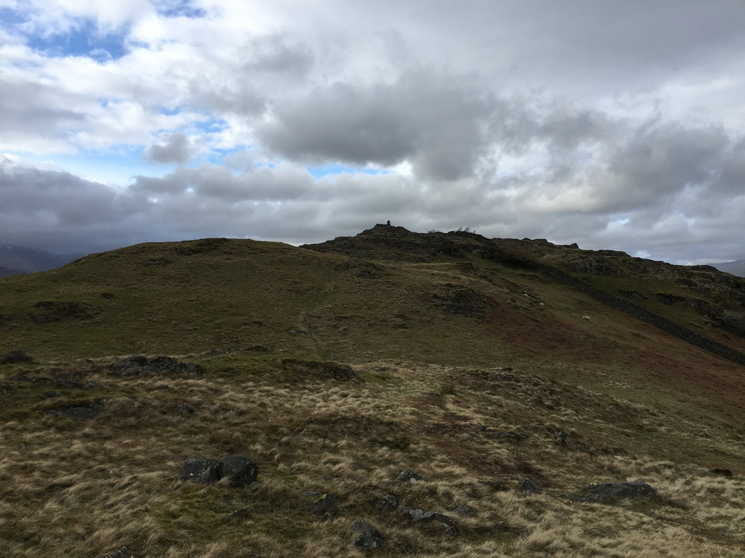
The path to Black Fell from south of Low Arnside - the summit can be seen ahead just left of centre
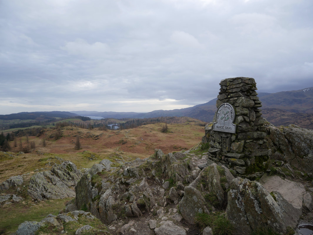
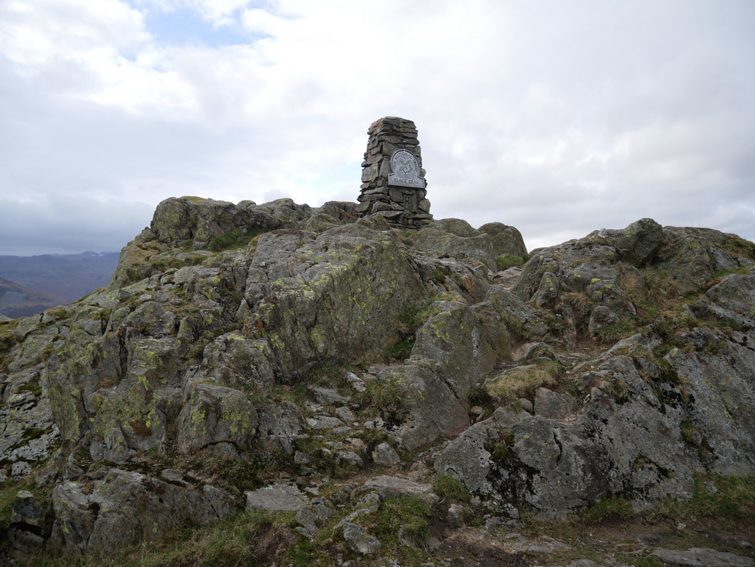
The Trig Point on the summit of Black Fell
On our previous visits we have wondered why we were climbing Black Fell only to be greeted at the summit by a Trig Point stating Black Crag? After a little bit of research apparently Black Crag is the name of the rock outcrop summit with Black Fell the name of the hill in its entirety.
On our previous visits we have wondered why we were climbing Black Fell only to be greeted at the summit by a Trig Point stating Black Crag? After a little bit of research apparently Black Crag is the name of the rock outcrop summit with Black Fell the name of the hill in its entirety.
Another view of the summit of Black Fell. The plaque drew some disparaging comments from Wainwright due in the main to people's annoying habit of wishing to deface anything by way of scratching their mark into it. Wainwright stated that the plaque
"had been defaced by the scratched initials of visitors of the type who seem to see in this practice a chance of immortality. It must readily be conceded that, for people of such mentality, probably it is their only chance" (Black Fell 3)
"had been defaced by the scratched initials of visitors of the type who seem to see in this practice a chance of immortality. It must readily be conceded that, for people of such mentality, probably it is their only chance" (Black Fell 3)
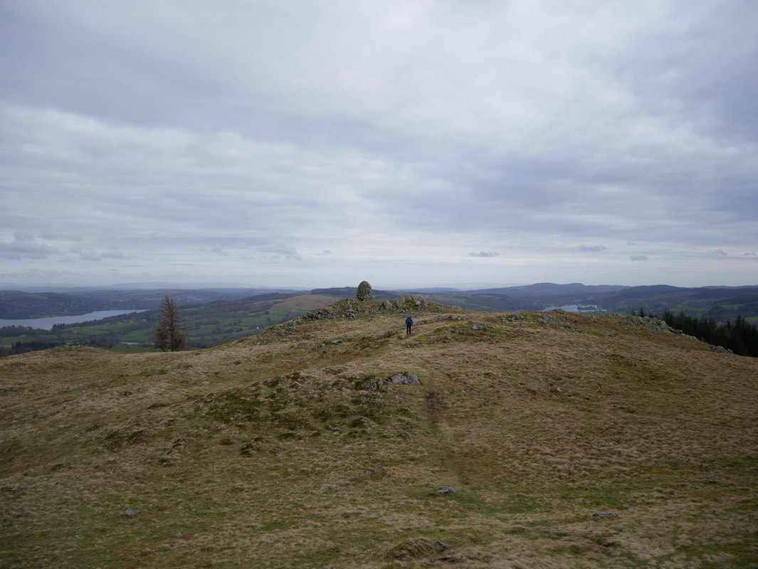
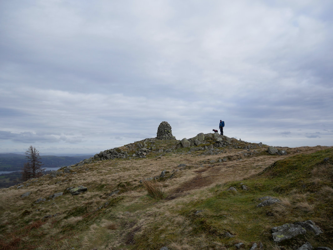
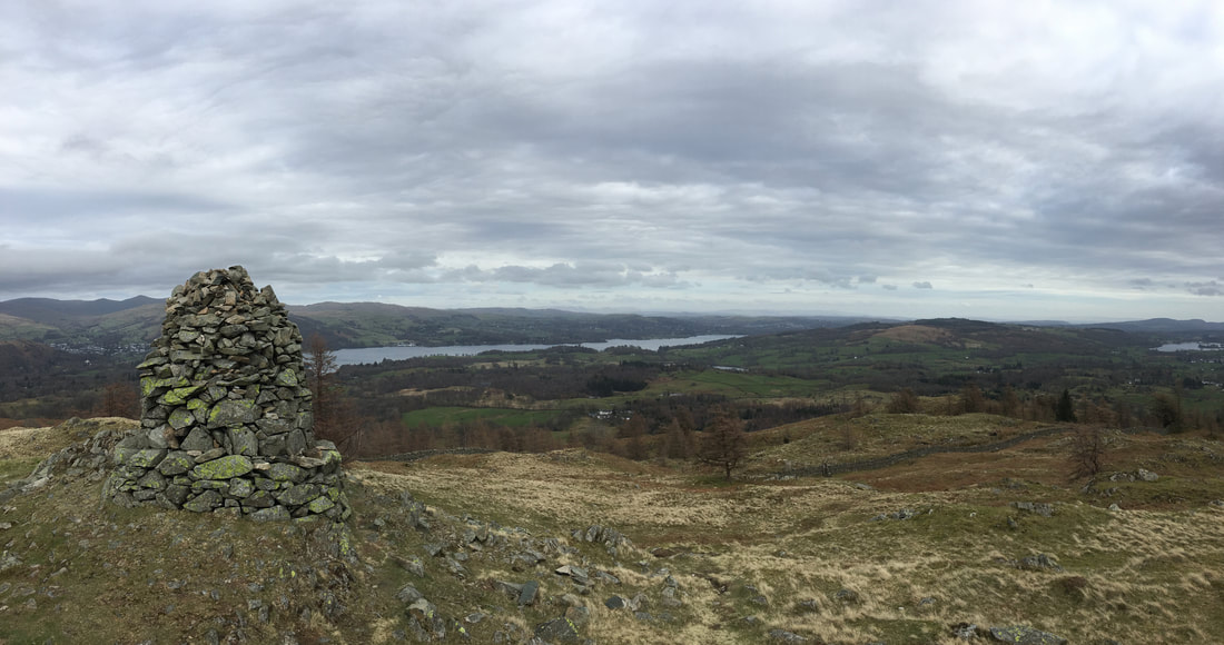
From the summit to the south east is a large cairn at a lower elevation - certainly worth visiting for the view over Coniston
With Fudge at the large cairn on Black Fell
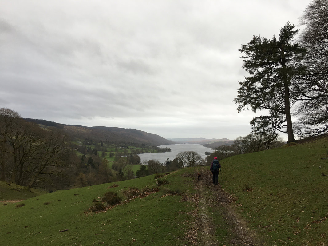
Perhaps not the best day for the view over Coniston Water but it will do for us
Looking back to the summit of Black Fell from the large cairn
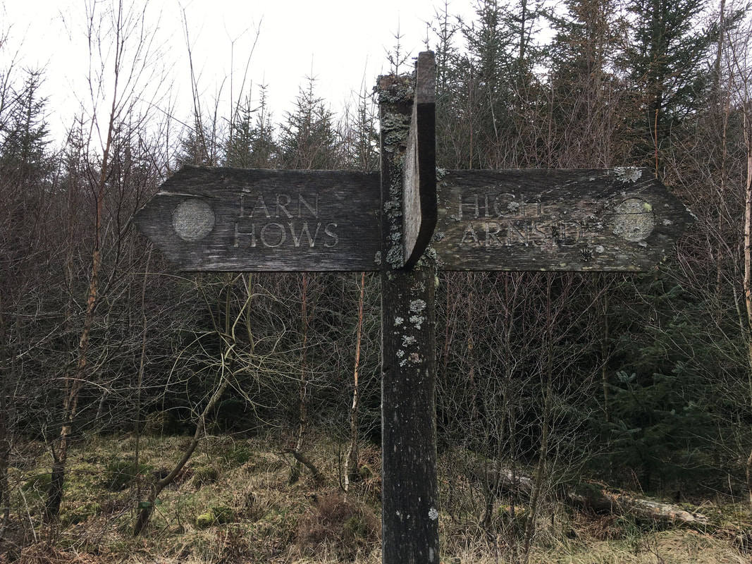
From Black Fell's summit a path heads south to the plantation of Iron Keld & then on to Tarn Hows
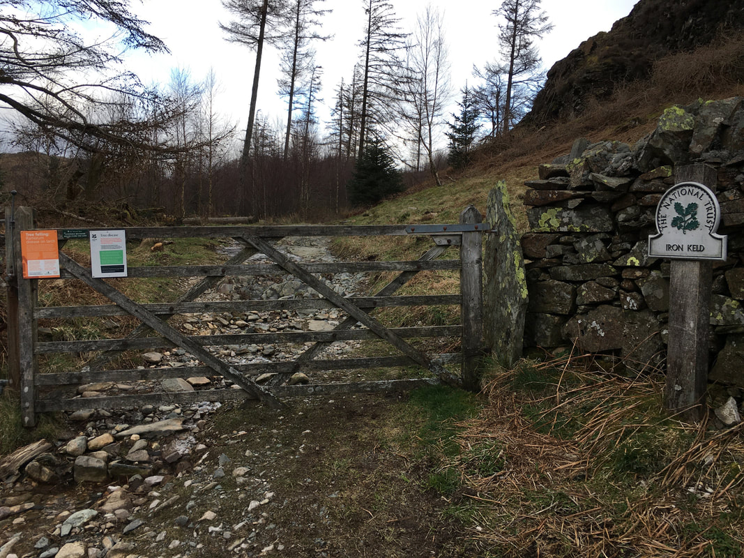
Leaving Iron Keld to join a rough lane known locally as "the mountain road"
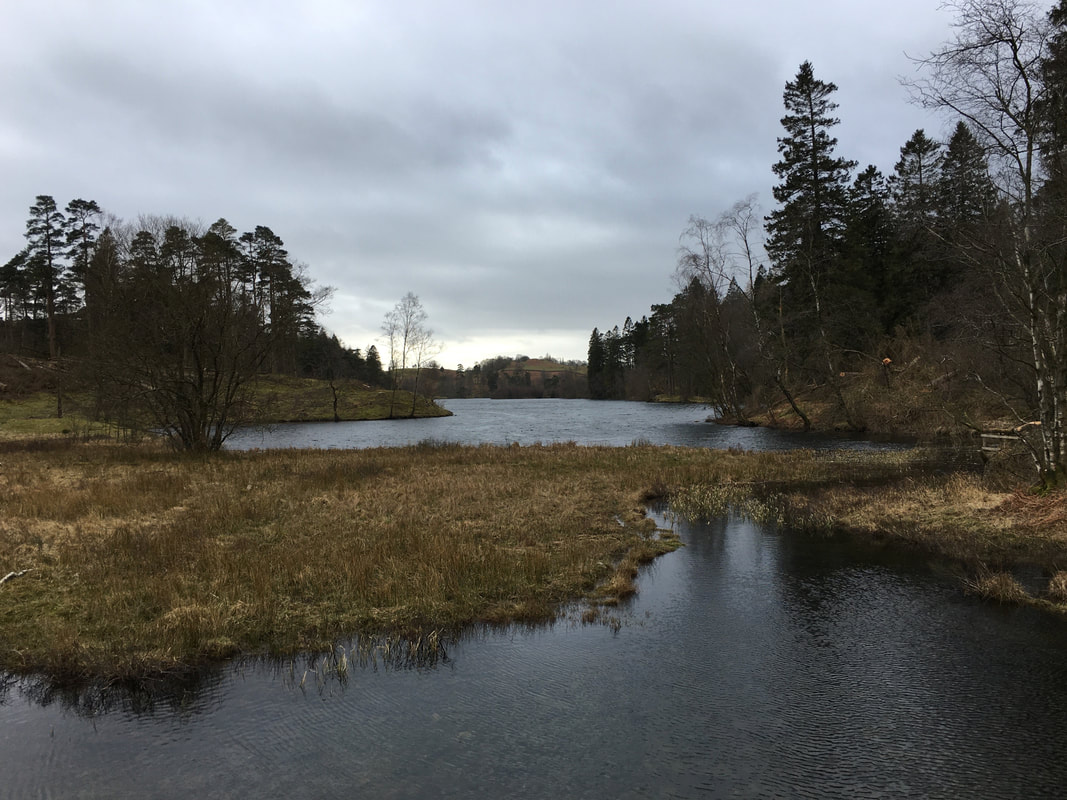
Tarn Hows - we have had better light here in the past but we are not complaining
Heading back to Coniston
We can always tell when he has had a good day - sleep tight sweet boy
