Blencathra via Sharp Edge & Souther Fell - Tuesday 29 October 2019
Route
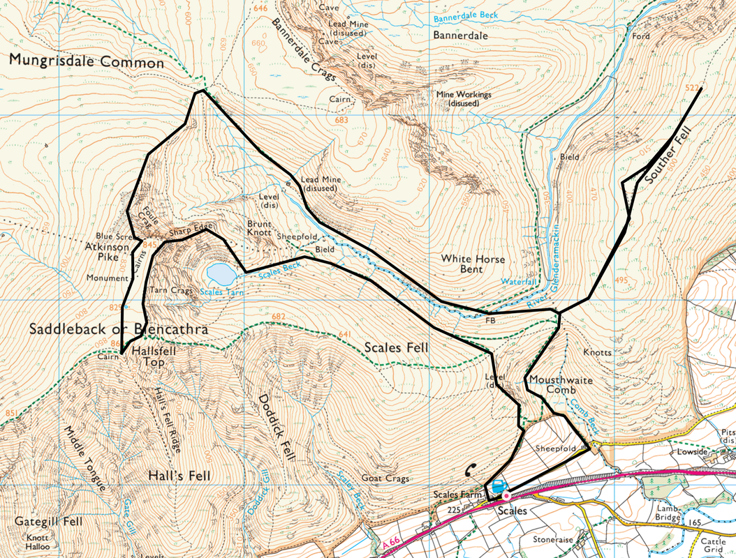
Scales - Scales Tarn - Sharp Edge - Blencathra (Hallsfell Top) - Atkinson Pike - River Glenderamackin - Souther Fell - Mousthwaite Comb - Scales
Parking
White Horse Pub Car Park (Free) - Grid Ref NY344269 (Postcode is CA12 4SY)
The pub provides parking for free - the least you can do at the end of your walk is to have your post walk pint in their company.
Mileage
8.1 miles
Terrain
Good mountain paths throughout. Whilst the wind was blowing across the arête of Sharp Edge it was well within our safety limits. Care needed to be taken in places because of wet rock, particularly in the vicinity of the Bad Step.
Sharp Edge is a Grade 1 Scramble and care should be taken along the arete. It is not for those who suffer from vertigo and it is also worth noting that there are no straightforward routes along the ridge and scrambling cannot be avoided. In the right conditions (as we had today) and with the necessary supervision it is great fun but in no way should it be attempted in high winds and ice and then only by experienced mountaineers with the correct kit. Rain, snow, ice and wind transform Sharp Edge from an exciting route that most hill walkers with a head for heights can tackle to a slippery and difficult scramble.
Weather
Bitterly cold, light breezes and sunshine. Visibility was excellent.
Time Taken
6hrs 40mins
Total Ascent
2486ft (758m)
Wainwrights
2
Map
OL5 - The English Lakes (North Eastern Area)
Walkers
Dave, Angie & Fudge with Alan, Sharon, Nick & Michael
|
GPX File
|
| ||
If the above GPX file fails to download or presents itself as an XML file once downloaded then please feel free to contact me and I will send you the GPX file via e-mail.
Route Map
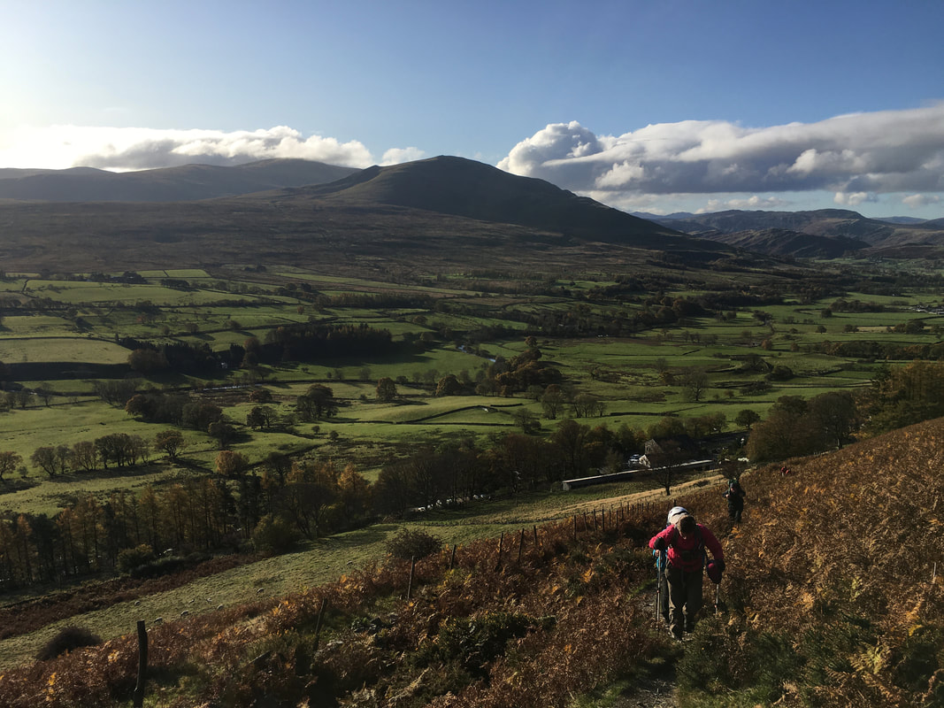
Heading out of Scales with Clough Head & The Dodds to the rear
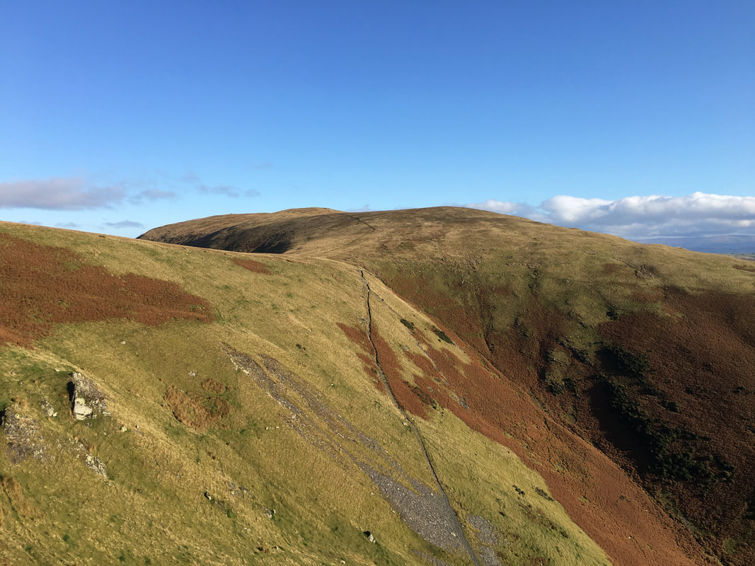
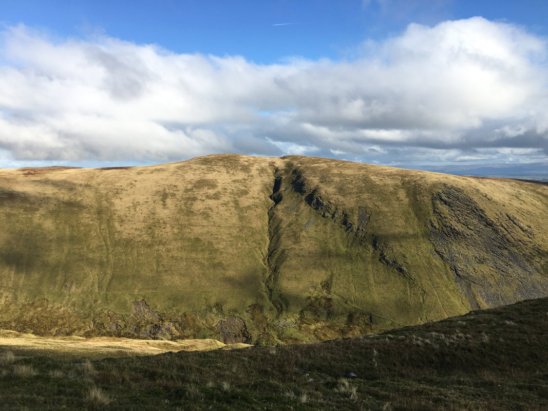
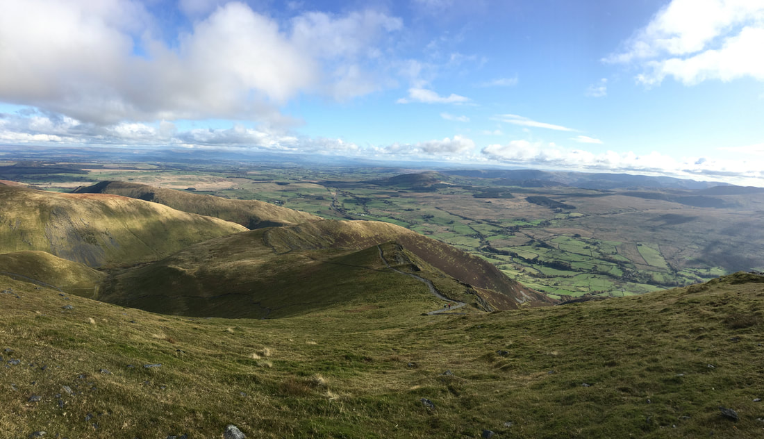
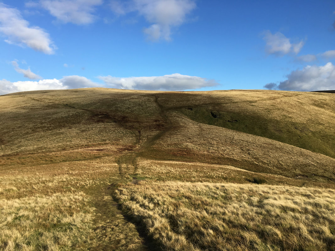
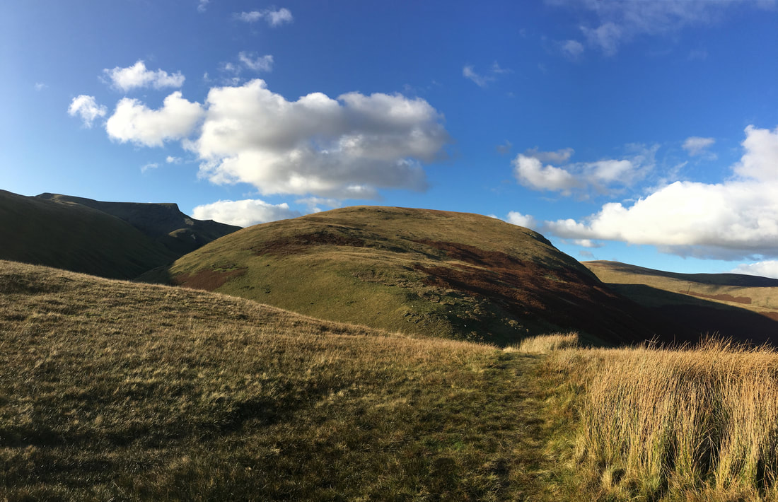
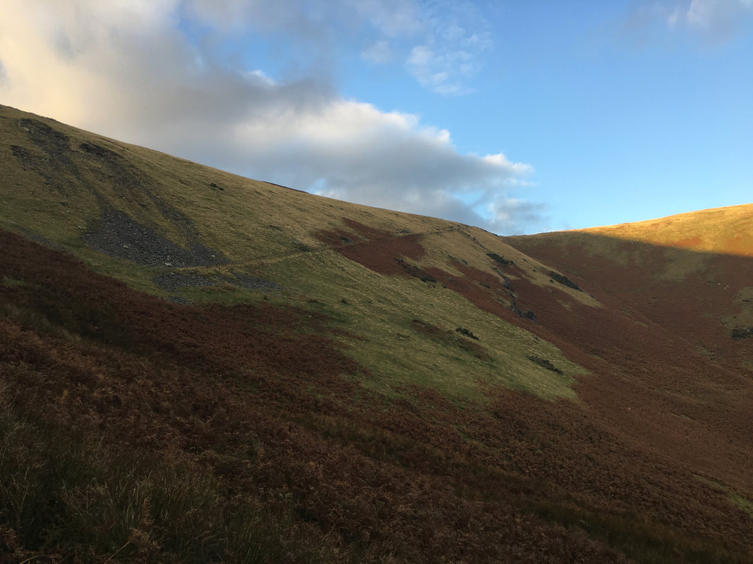
Looking to Souther Fell over Mousthwaite Comb - the path in the centre of shot is our return route
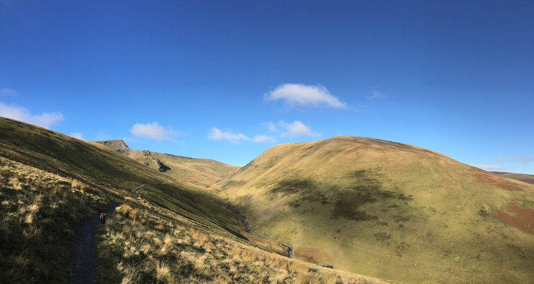
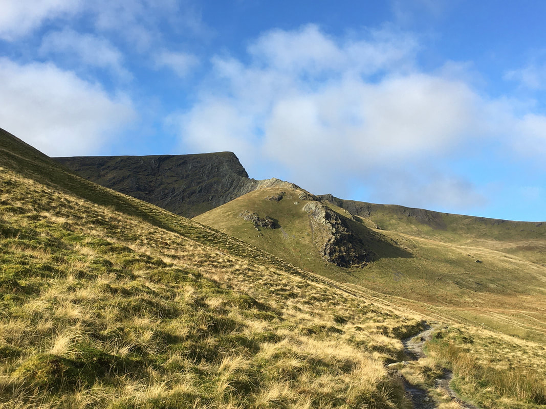
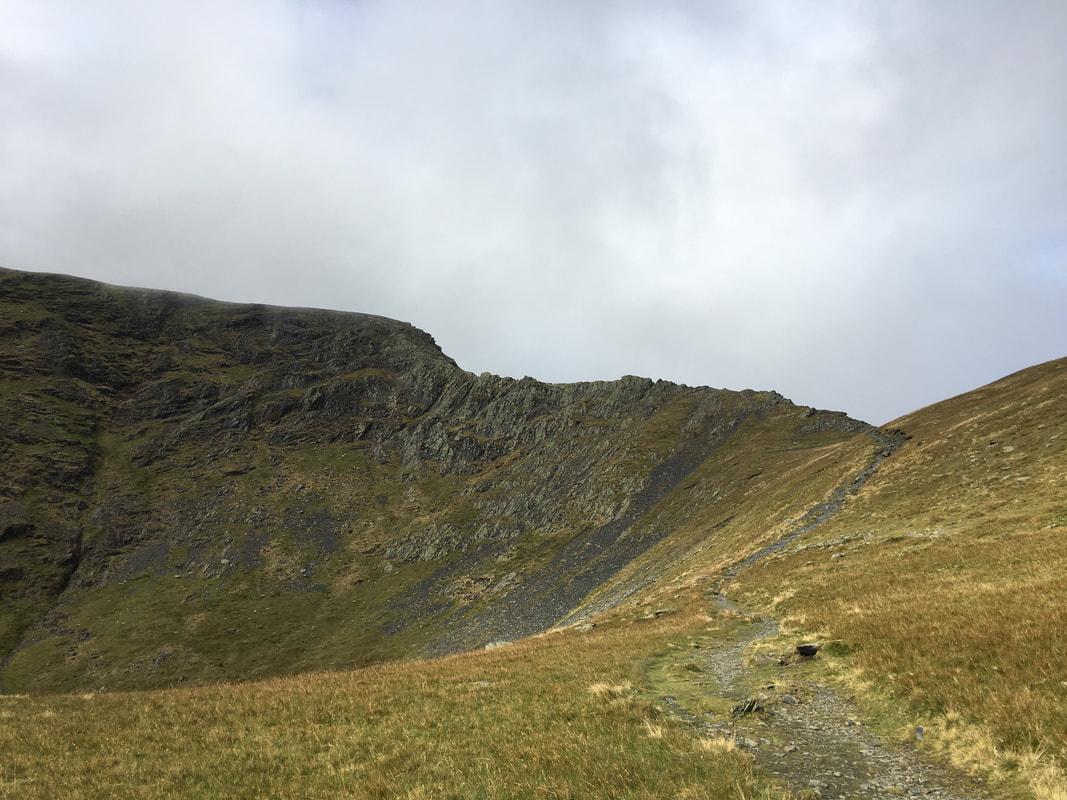
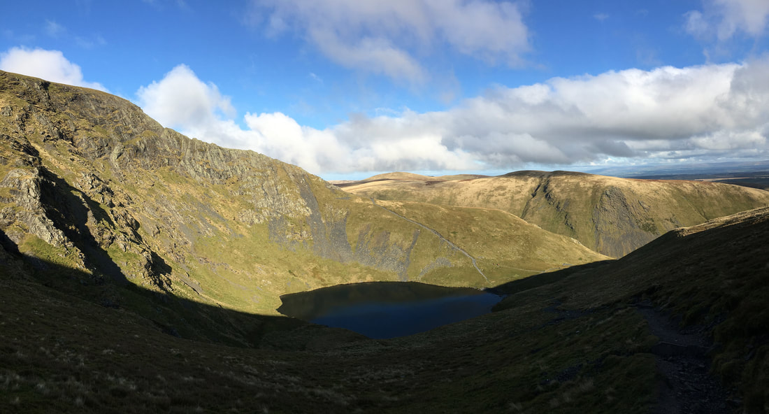
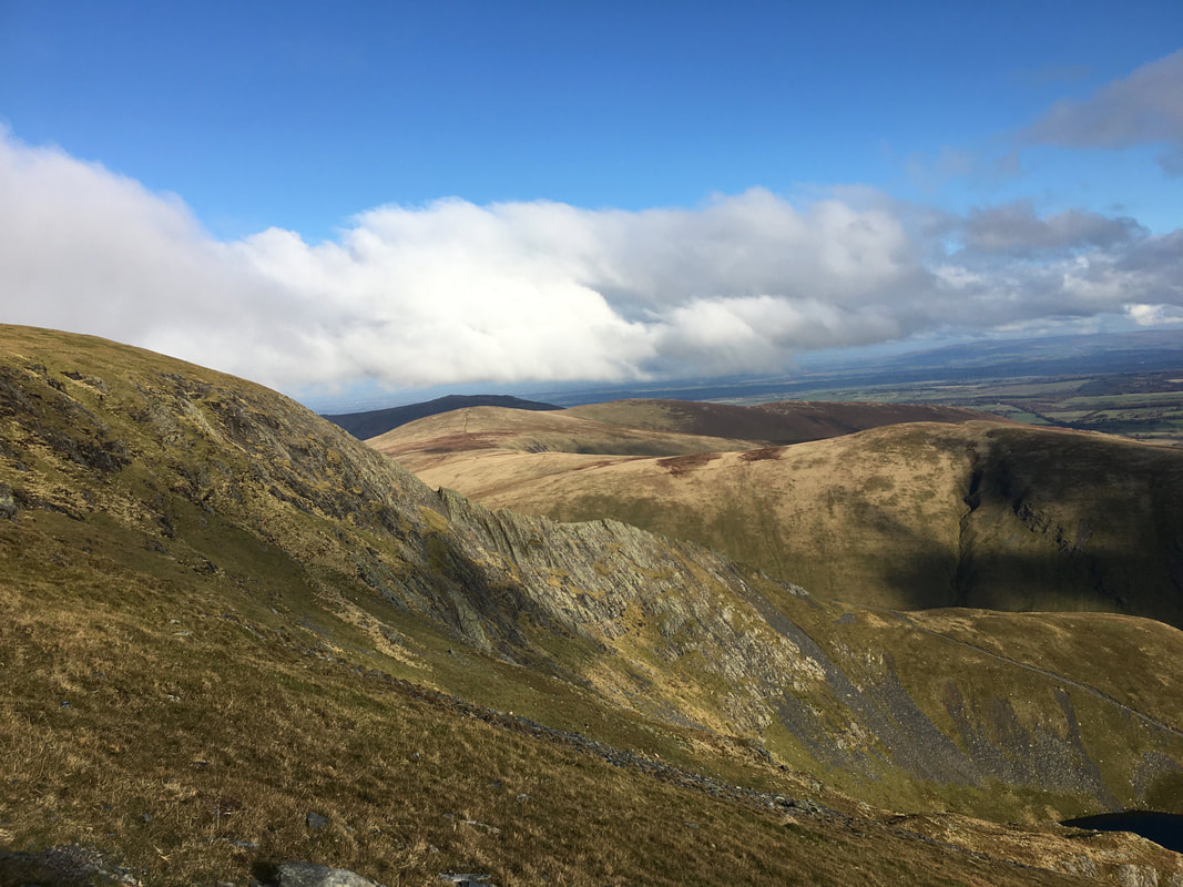
Rounding the flank of Scales Fell Sharp Edge comes into view. White Horse Bent is to the right with the River Glenderamackin below - this would be another aspect of our return route with the path clearly visible to the right of the river.
Closing in on Scales Tarn & Sharp Edge - the rocky lump below the Edge is Brunt Knott
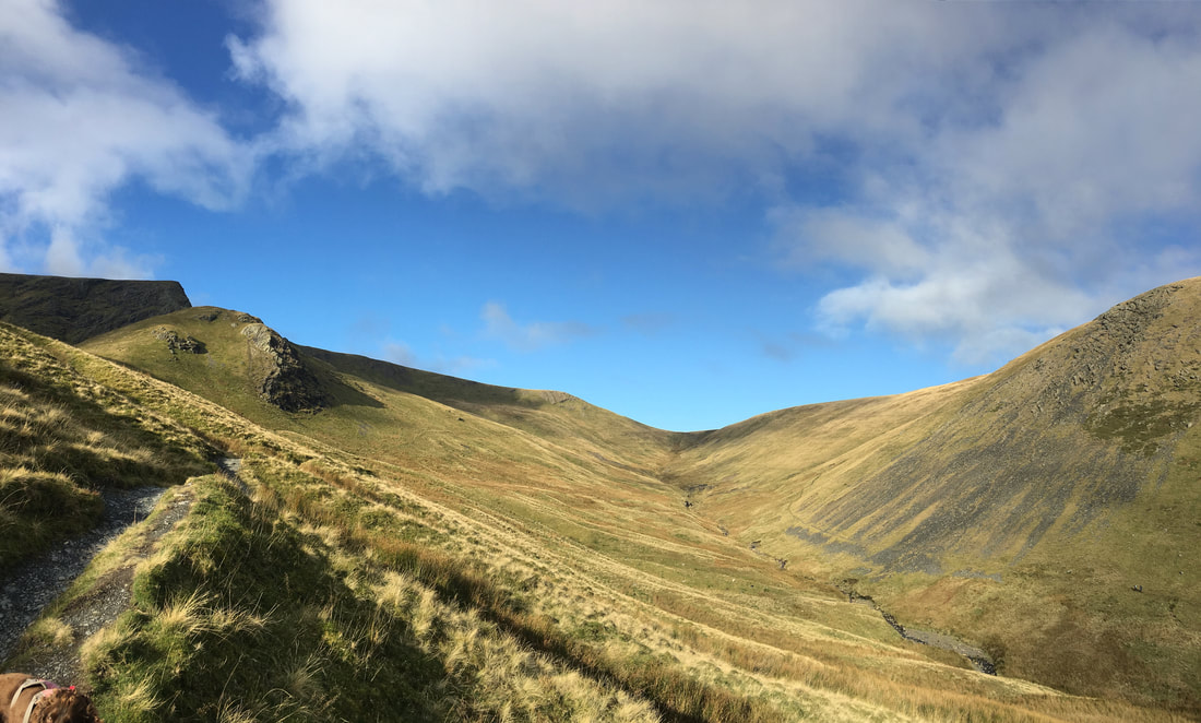
Looking up the River Glenderamackin to the col between Blencathra & Bannerdale Crags
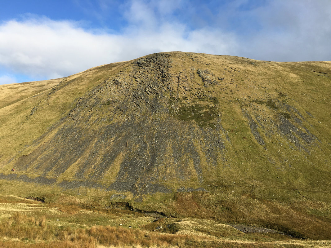
Bannerdale Crags
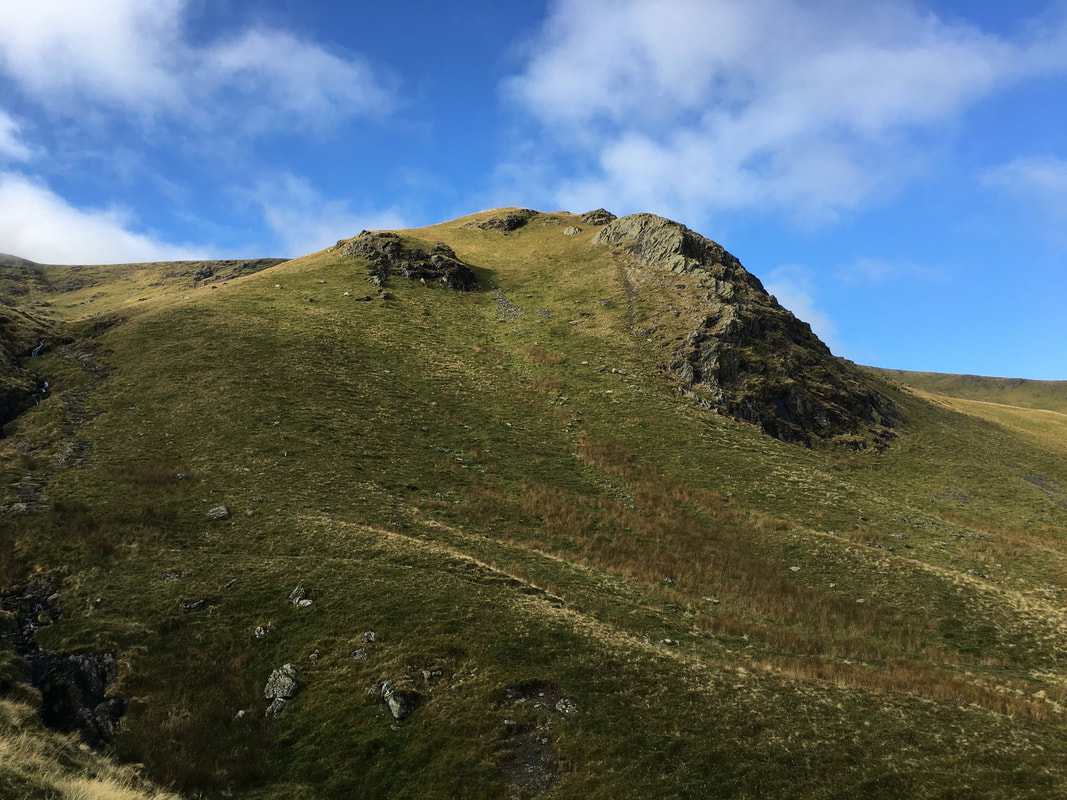
A closer view of Brunt Knott
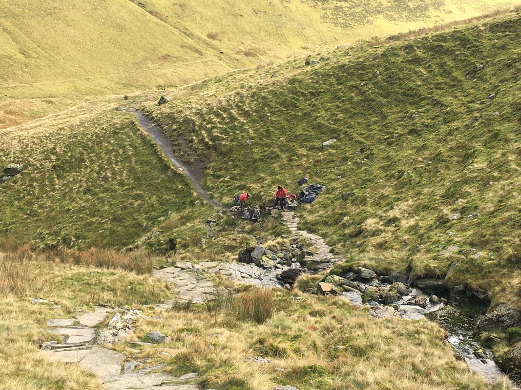
Just before Scales Tarn we had a chat with a group of people from Fix the Fells who were out repairing paths
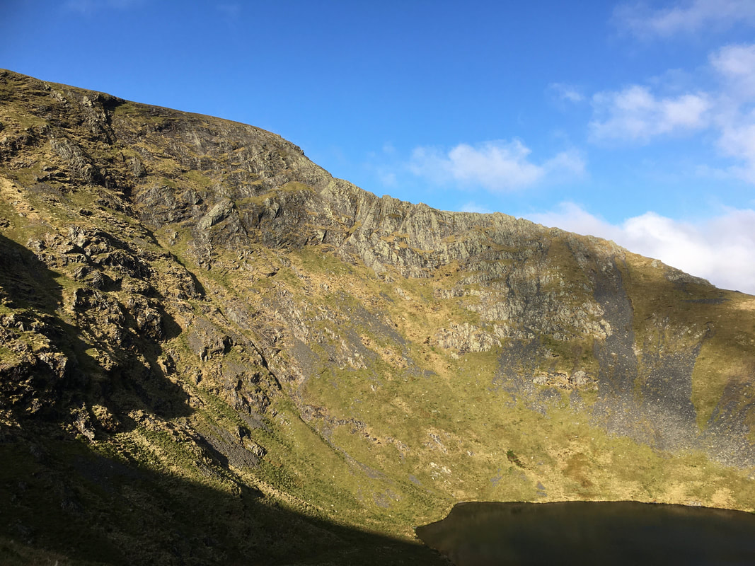
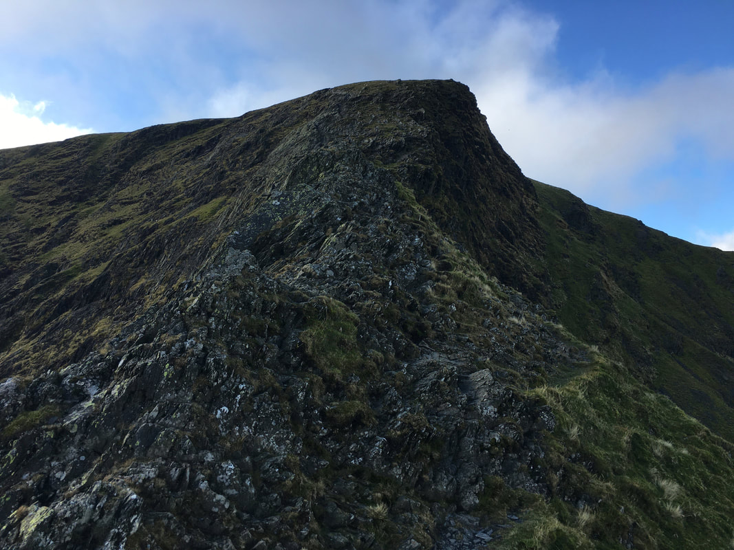
Sharp Edge
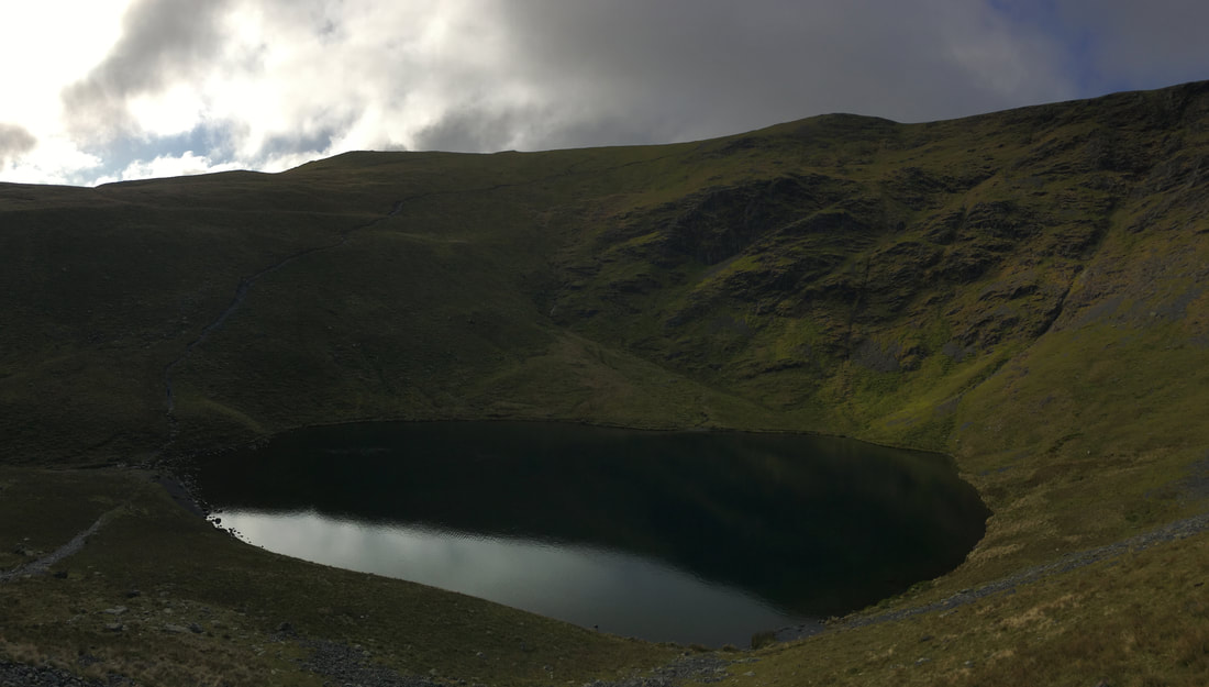
The inky blackness of Scales Tarn
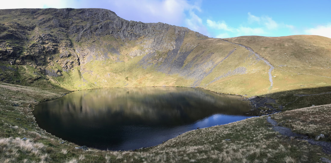
I really like this picture of Scales Tarn & Sharp Edge which Angie took as she & Fudge made their way up independently from us - in my opinion Sharp Edge is no place for a dog although we did see a Springer make the crossing ahead of us.
Another view of Bannerdale Crags
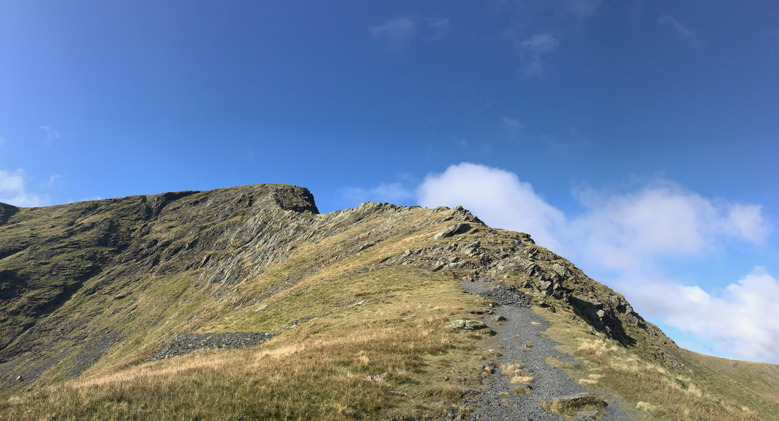
Sharp Edge and the access path from the route up via Scales Tarn
A closer view of Sharp Edge from the Scales Tarn path
The top of the access path to Sharp Edge and the start of the climb along the arête
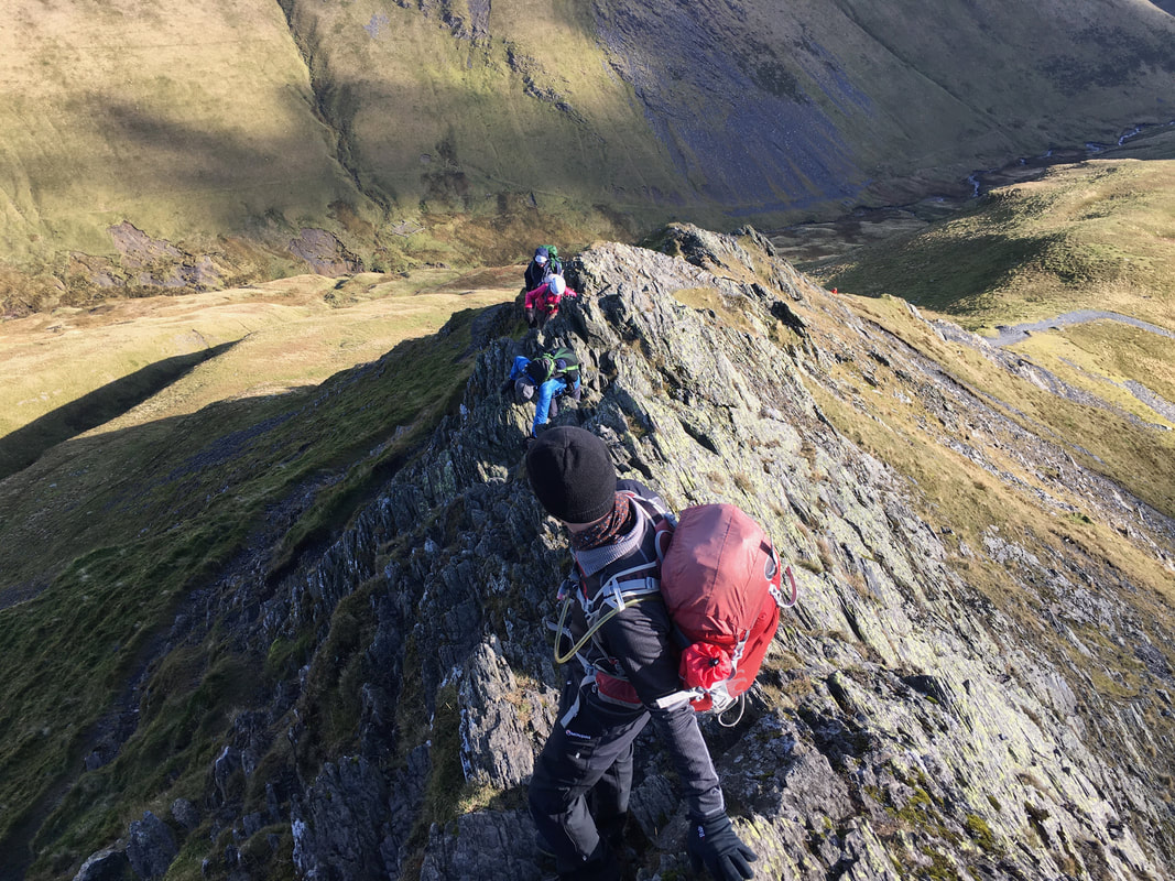
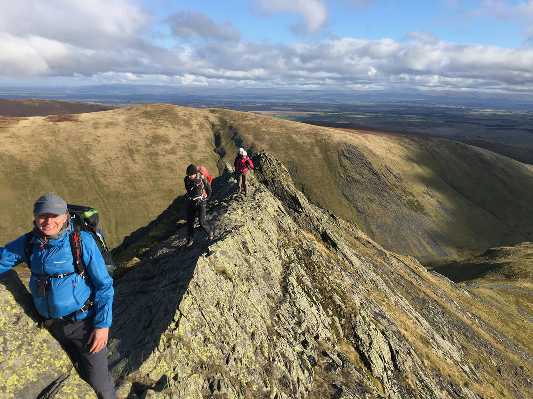
Here we go - the exhilarating scramble along the arête of Sharp Edge. It was blowing a bit but still within safe limits.
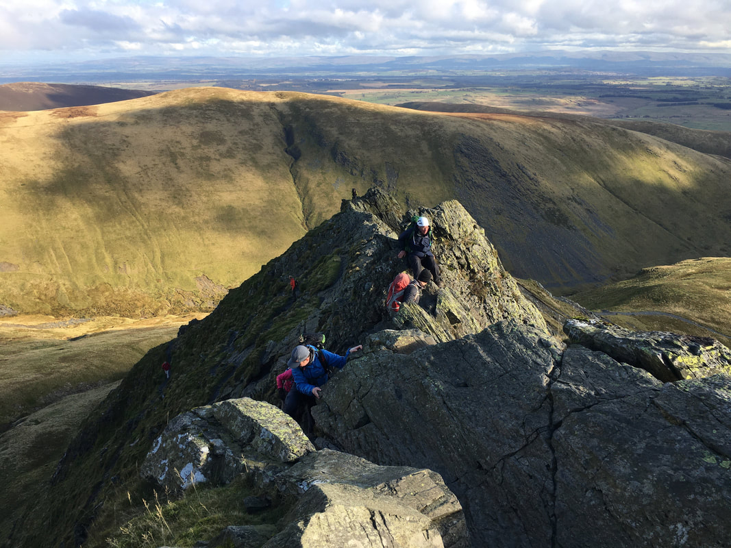
Our group making their way along the first part of the arête - just a question of taking ones time
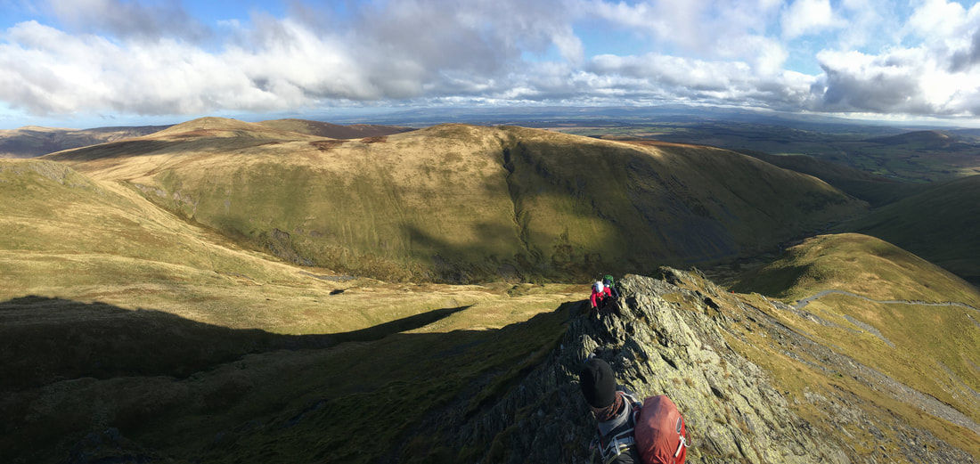
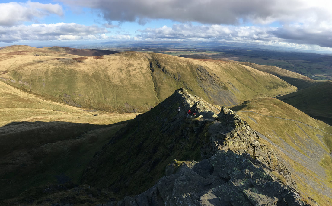
A Sharp Edge panoramic
Nearing the end of the arête and the approach to the Bad Step
Nick, Michael, Sharon & Alan - Nick is smiling and I think he was really enjoying himself!!
Meanwhile Angie & Fudge had reached the summit ridge
The last part of the scramble before the Bad Step
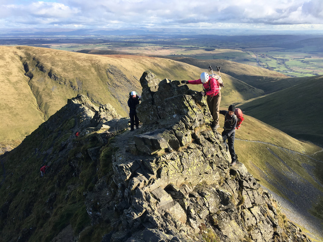
The Bad Step on Sharp Edge.
The normal transit is via the sloping slab just in front of Alan on the left. However, I was first there and soon realised that the slab of rock was covered in wet slime therefore was too dangerous to cross. We therefore climbed around to the right which to be honest was much more fun.
The normal transit is via the sloping slab just in front of Alan on the left. However, I was first there and soon realised that the slab of rock was covered in wet slime therefore was too dangerous to cross. We therefore climbed around to the right which to be honest was much more fun.
Looking back to the Bad Step
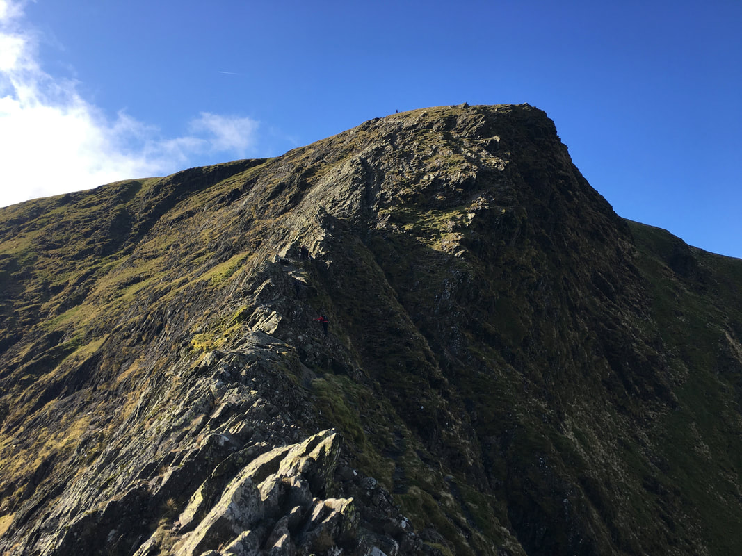
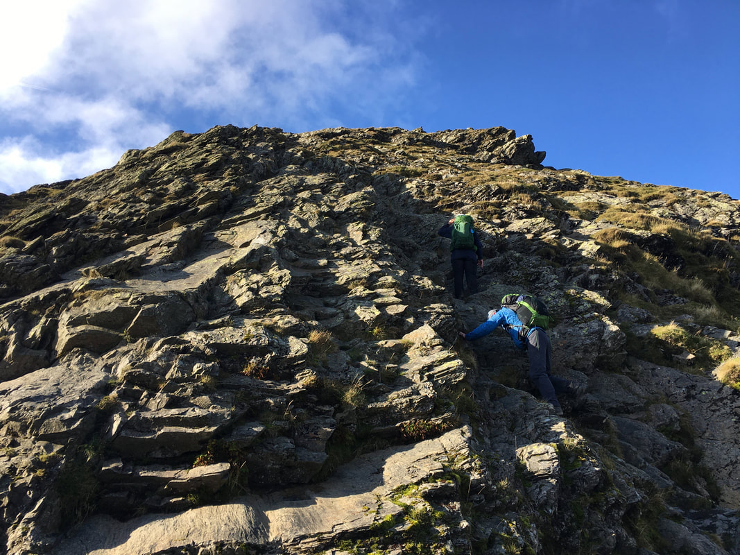
With the Bad Step safely negotiated all that was left was to scramble steeply up to the ridgeline.
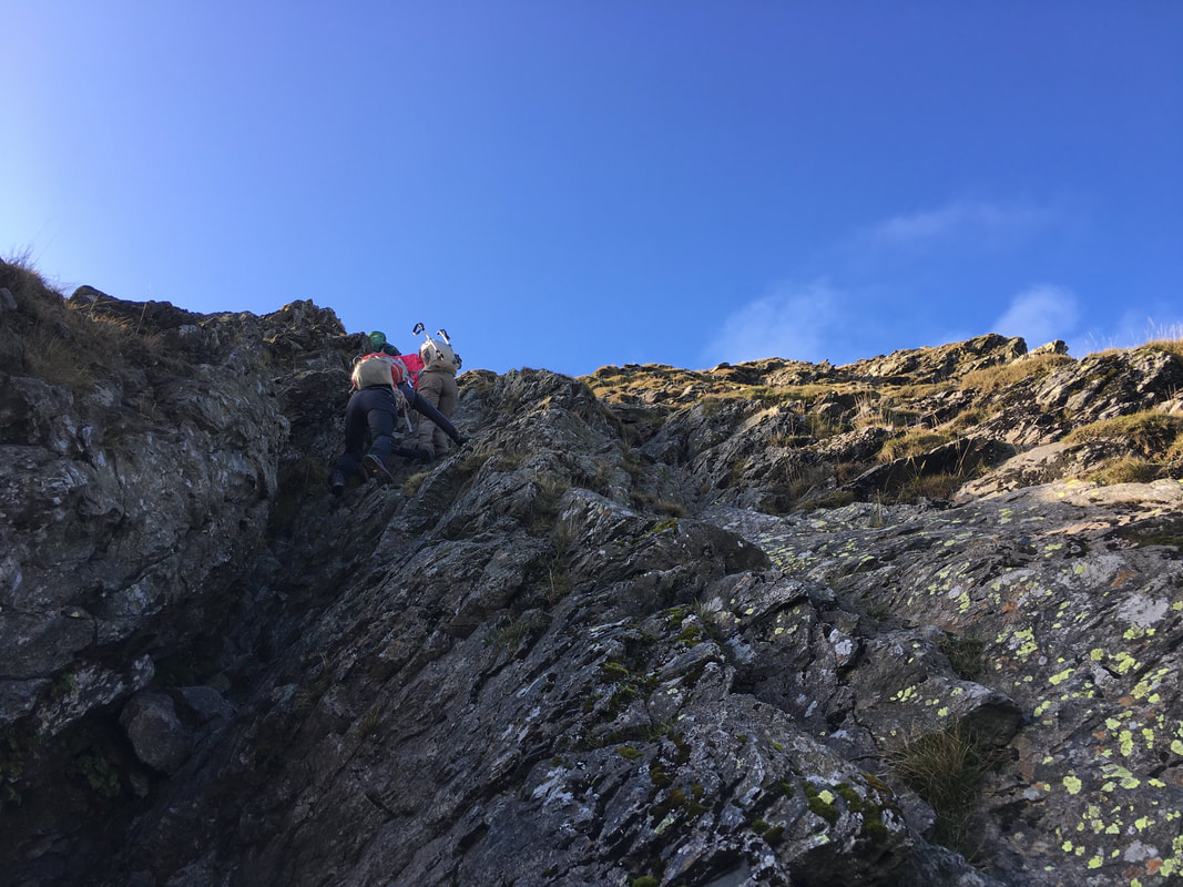
When tackling this section it is best to keep as far over to the right as you can and navigate via a readily apparent chute of rock.
When tackling this section it is best to keep as far over to the right as you can and navigate via a readily apparent chute of rock.
The chute of rock we ascended by - plenty of hand and foot holds here
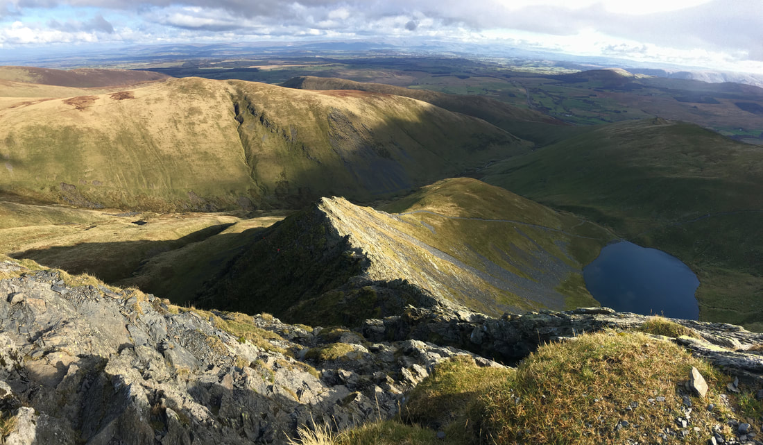
Looking back down the final climb to Sharp Edge, Bannerdale Crags & Scales Tarn
Fudge appeared to be unimpressed with our tales of derring do on Sharp Edge
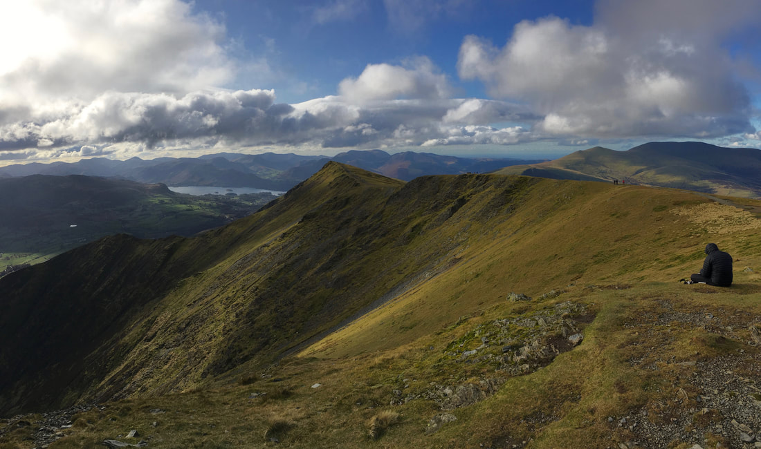
Walking along the ridge to Blencathra's summit of Hallsfell Top looking to Scales Fell & Doddick Fell
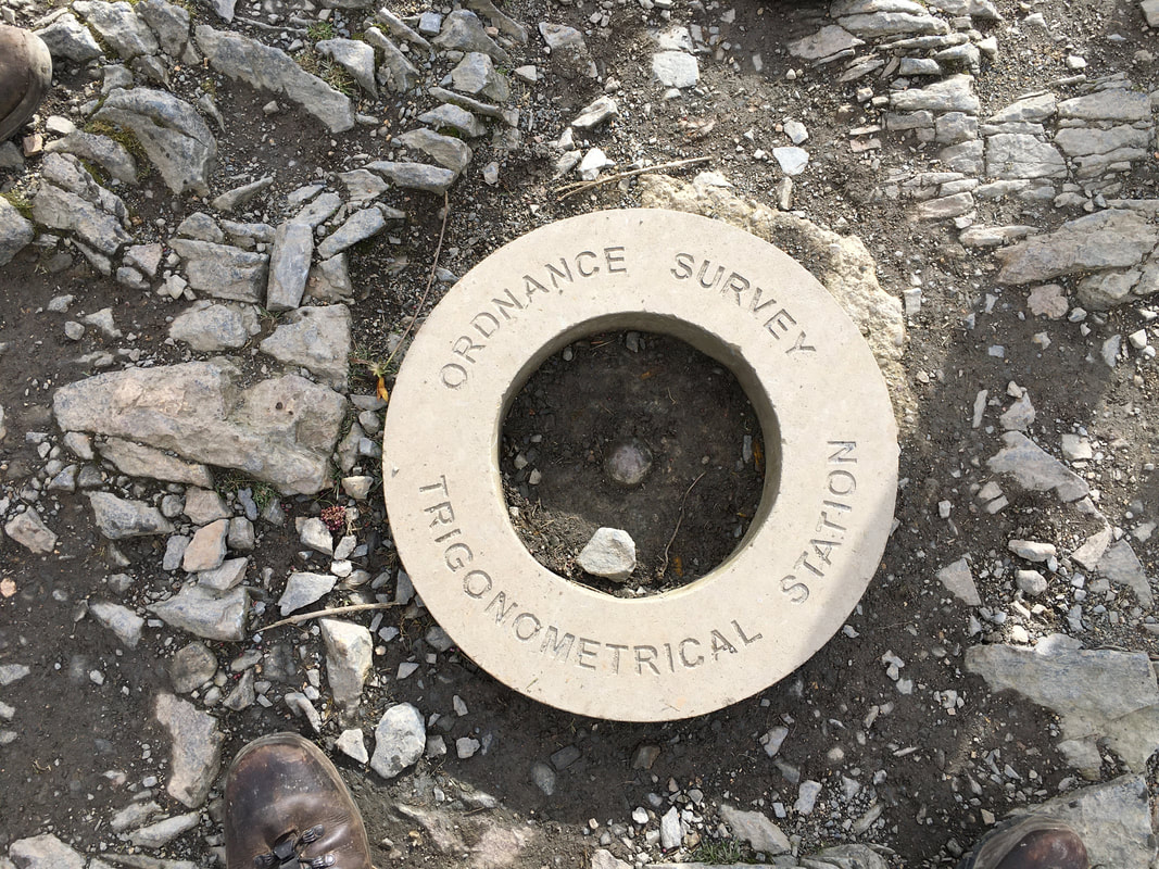
My left & right boots and the summit Trig "Doughnut".
The Trigonometrical Station was replaced recently as a result of a Crowdfunding Appeal when the original was stolen.
The Trigonometrical Station was replaced recently as a result of a Crowdfunding Appeal when the original was stolen.
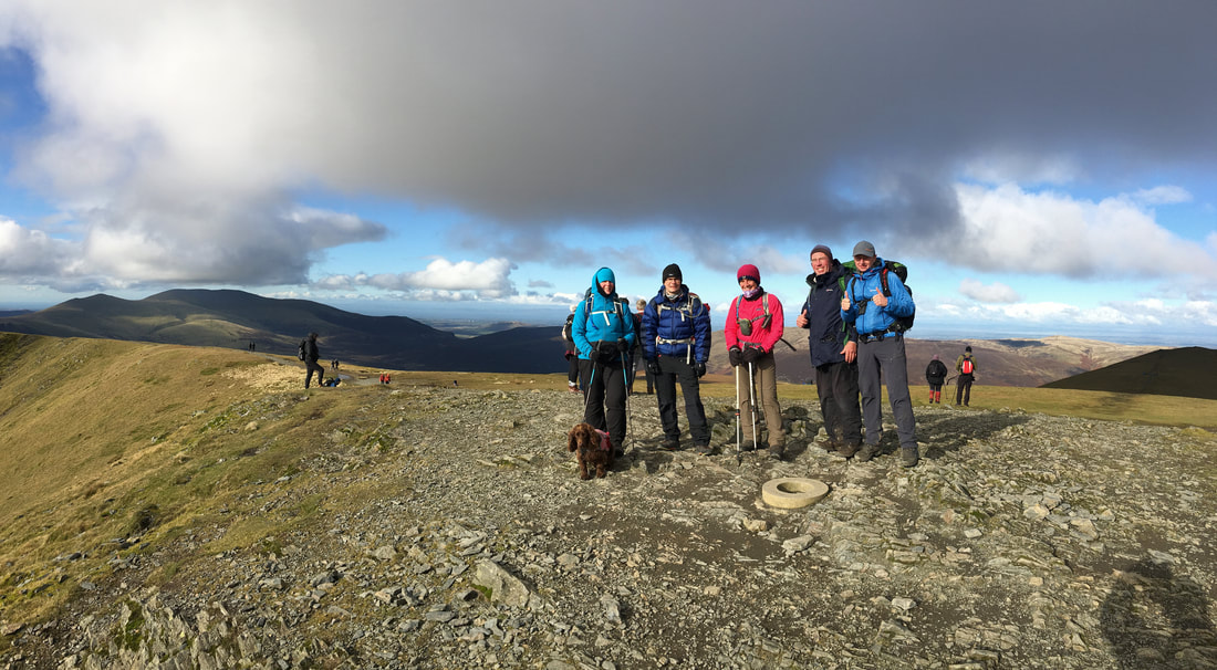
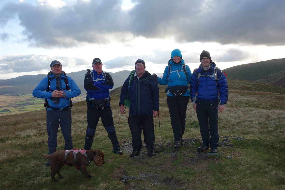
My walking companions on the summit of Blencathra
Gategill Fell with Derwent Water peeping out - Skiddaw is to the right.
Whilst we didn't bother today, it is a delightful out & back from here to Gategill Fell
Whilst we didn't bother today, it is a delightful out & back from here to Gategill Fell
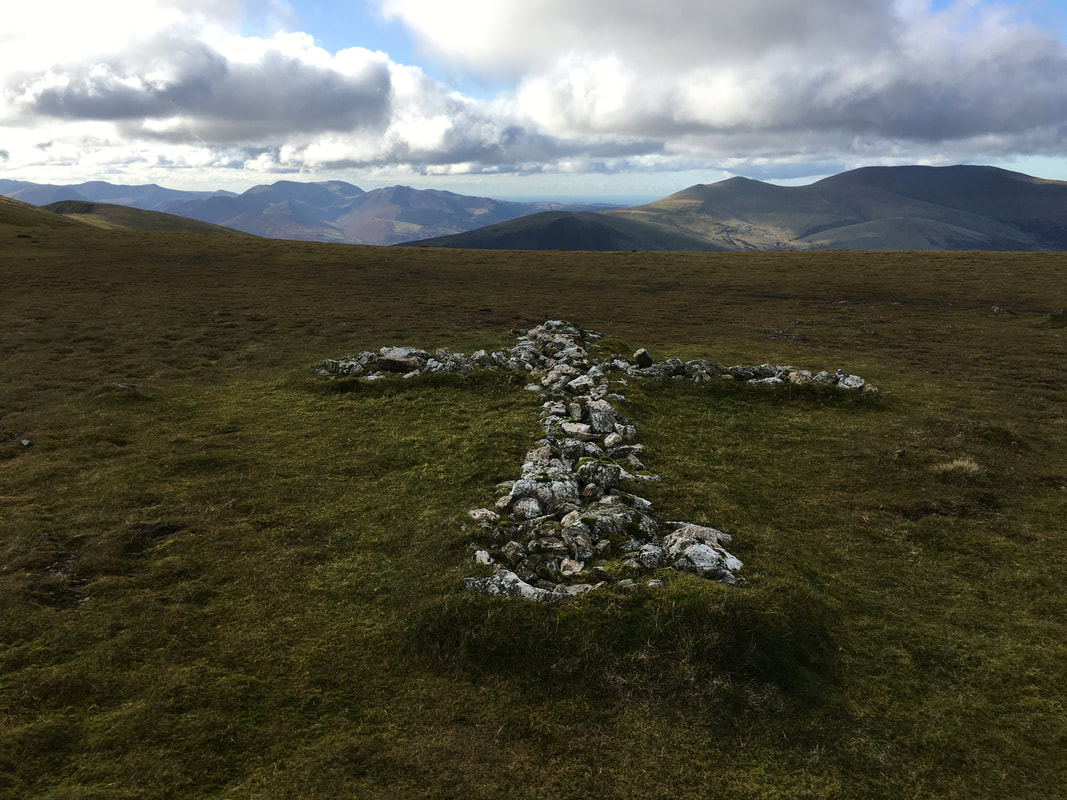
The White Cross of Stones near Atkinson Pike
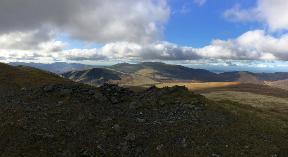
The summit of Atkinson Pike looking to Lonscale Fell, Skiddaw & Mungrisdale Common
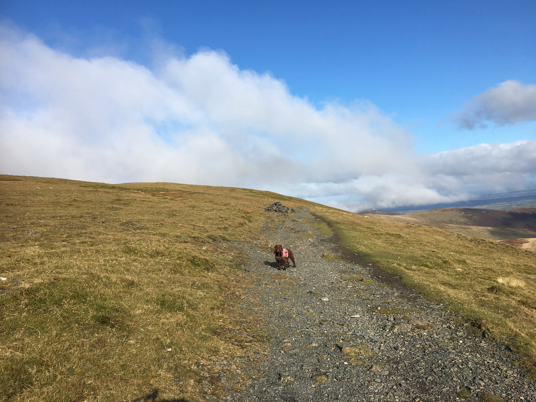
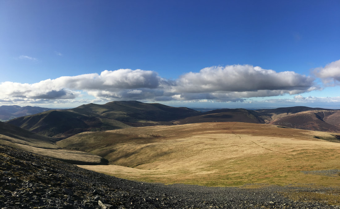
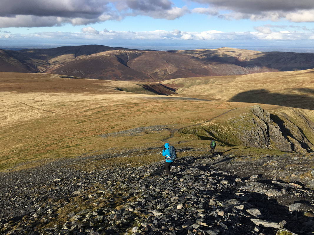
On the descent from Atkinson Pike.
The path to Mungrisdale Common can be seen heading from right to left and leads to the YHA at Skiddaw House and The Cumbria Way. Skiddaw can also be reached from Skiddaw House via Sale How and makes a delightful round.
The path to Mungrisdale Common can be seen heading from right to left and leads to the YHA at Skiddaw House and The Cumbria Way. Skiddaw can also be reached from Skiddaw House via Sale How and makes a delightful round.
Continuing the descent from Atkinson Pike. In the col we would be heading right to make our way to the junction of paths at the head of the River Glenderamackin. The hills in the distance are Knott & High Pike.
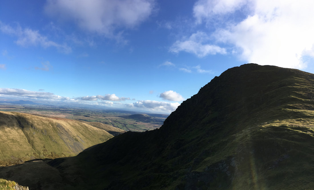
Looking back to the silhouetted Sharp Edge & Foule Crag
The junction of paths in the col - the upper left leads to Bowscale Fell and the upper right heads to Bannerdale Crags.
We would be taking the lower right hand path which leads to the River Glenderamackin
We would be taking the lower right hand path which leads to the River Glenderamackin
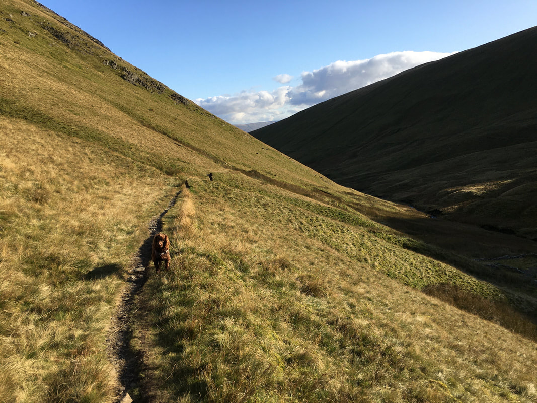
Heading along the path above the River Glenderamackin
Looking to White Horse Bent and Sharp Edge from the col below the Souther Fell path
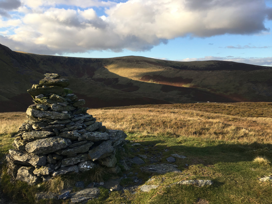
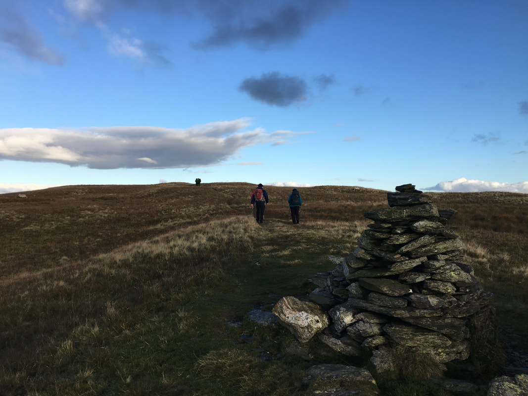
To the left of the main path to Souther Fell is a large cairn which I am sure some people mistake as the summit.
However the top of the fell is still some way distant along the ridge however the cairn is worth a visit and is not far off the main path.
However the top of the fell is still some way distant along the ridge however the cairn is worth a visit and is not far off the main path.
Leaving the cairn to rejoin the main ridge path
The understated summit of Souther Fell
The summit of Souther Fell - the less said the better!
(picture courtesy of Sharon O'Malley)
(picture courtesy of Sharon O'Malley)
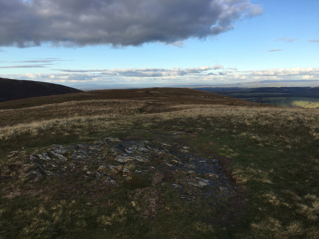
Looking back to our route of descent into Mousthwaite Comb
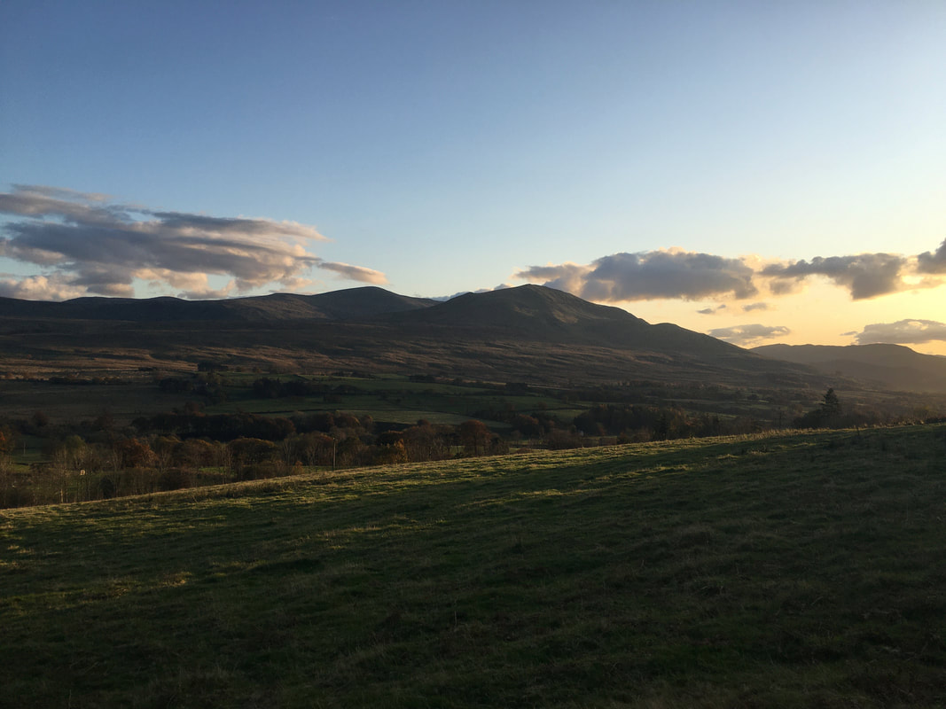
Clough Head & The Dodds in the early evening sun
