Place Fell - Sunday 10 December 2017
Route
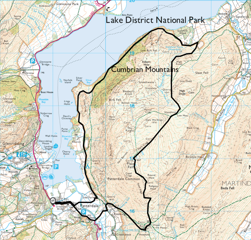
Patterdale - Rooking - Boredale Hause - Round How - Place Fell - Low Moss - Scalehow Force - Ullswater
Way - Silver Bay - Side Farm - Patterdale
Parking
Lots of parking in Patterdale - £3 all day at King George V Car Park (opposite Patterdale Hall) - GR NY390160
Mileage
9 miles
Terrain
Snow covered mountain paths with some icy sections which were easily avoided. No requirement for Microspikes today.
Weather
Extremely cold with temperatures up to -4 at times. Visibility very good.
Time Taken
6hrs
Total Ascent
3041ft (927m)
Wainwrights
1
Map
OL5 - The English Lakes - North Eastern Area
|
GPX File
|
| ||
If the above GPX file fails to download or presents itself as an XML file once downloaded then please feel free to contact me and I will send you the GPX file via e-mail.
Walk Description
Place Fell is a special fell for us - mine and Angie's first Wainwright which we climbed in August 2005 and Fudge's 214th & final one which we all did together in October 2015. At 2156 feet, it stands at the corner of the upper and middle reaches of Ullswater, with steep western flanks that overlook the villages of Glenridding & Patterdale. The top of Place Fell is a wide plateau with the summit at the south western corner. From here the rocky ridge of Hart Crag runs for a short distance north east across the plateau, decorated with a number of small tarns. There is much to see in and around Place Fell and the ridge to the west of Hart Crag containing The Knight, Bleaberry Knott & Low Birk Fell is certainly worthy of exploration.
I was out leading a walk with Lakeland Meet Ups today and therefore met up with Beryl & Sue outside The White Lion in Patterdale. Most ascents of Place Fell start from the village therefore we headed south east to cross Goldrill Beck via the bridge to arrive at Rooking where a gate leads to the open fell side. There now begins a gradual ascent to Boredale Hause - a mountain pass between Place Fell and Angletarn Pikes that links the Boredale & Patterdale valleys. Arriving at the Hause, there are a myriad of paths heading in all directions and there are several that lead to the north to join the main thoroughfare to Place Fell. From the Hause the path is clear and heads over Steel Edge and after a short scramble arrives at the rocky outcrop of Round How.
From Round How it is a short transit of about half a mile of easy walking to reach the summit of Place Fell - here there is a Trig Point surrounded by rocks with the summit cairn a few yards away to the west. There are glorious views to be had from the walk from Boredale Hause to the summit - especially today with the snow topped ranges of Fairfield & Helvellyn to the west and the High Street range to the east. From the summit the route continued north east via Hart Crag & the completely frozen Place Fell Tarn to navigate the tricky descent to the col at Low Moss. We had toyed with the idea to attach our microspikes but we didn't bother as the icy stuff could be avoided easily enough and the terrain was in the main loose, powdery snow.
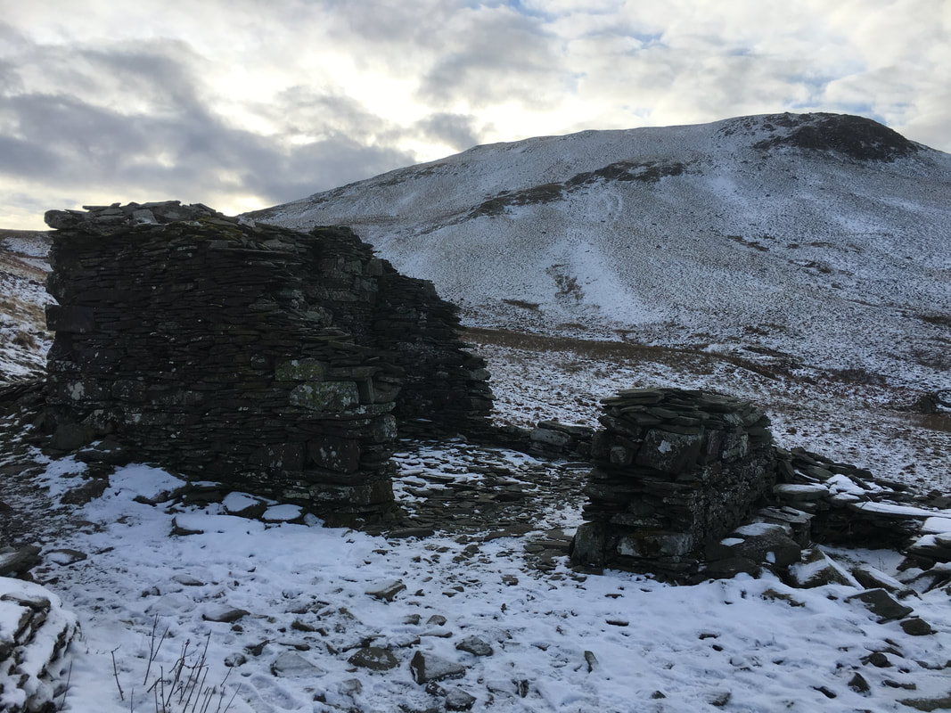
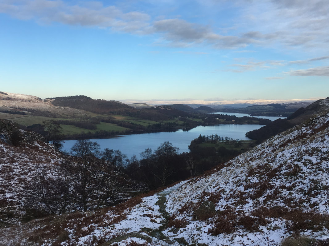
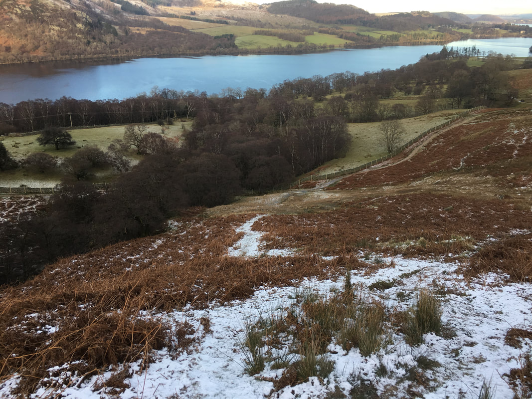
From Low Moss there is the option to carry on north east to cross over High Dodd, Sleet Fell & Cat Crag however we turned to the north west to pass beneath the flank of High Dodd, passing the quarry ruins where a Deer ran right across our path, clearly in a rush to join his mates who we could see up to our left at Bottom Heads. We then descended steeply over wet grass to reach the lakeshore path above Scalehow Wood - the path forms part of the Ullswater Way, a delightful 20 mile walk around the lake (link here). Three and a half delightful and gently undulating miles later we were back in Patterdale just as the light was starting to fade. A fantastic day out in excellent company.
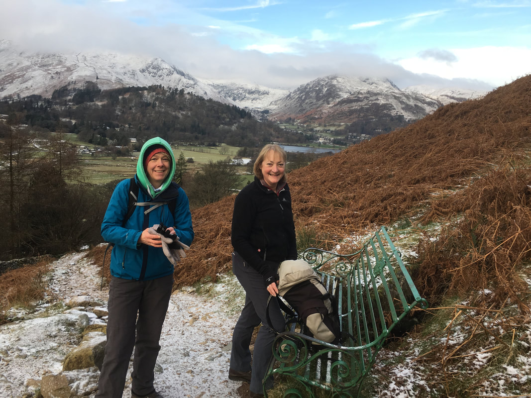
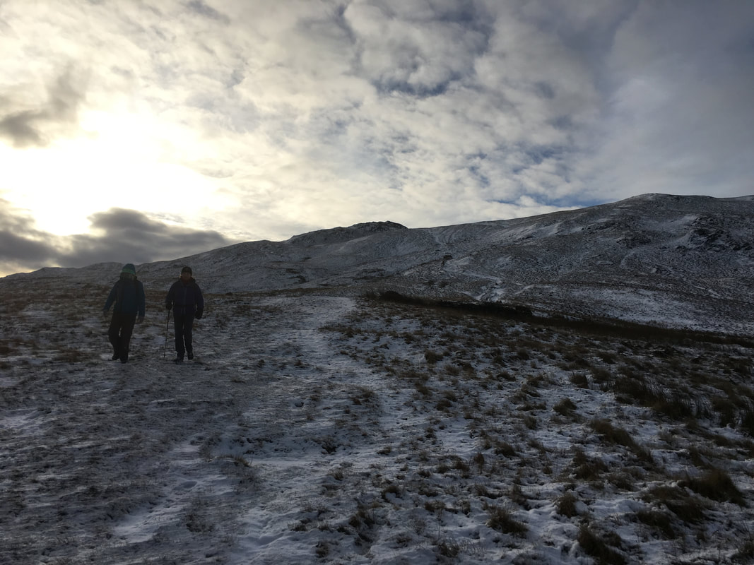
Sue & Beryl - my walking partners for the day at the seat on the path to Boredale Hause
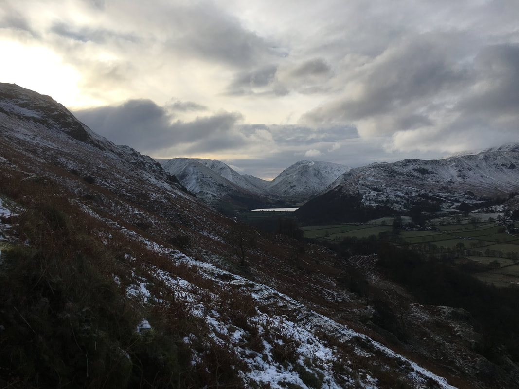
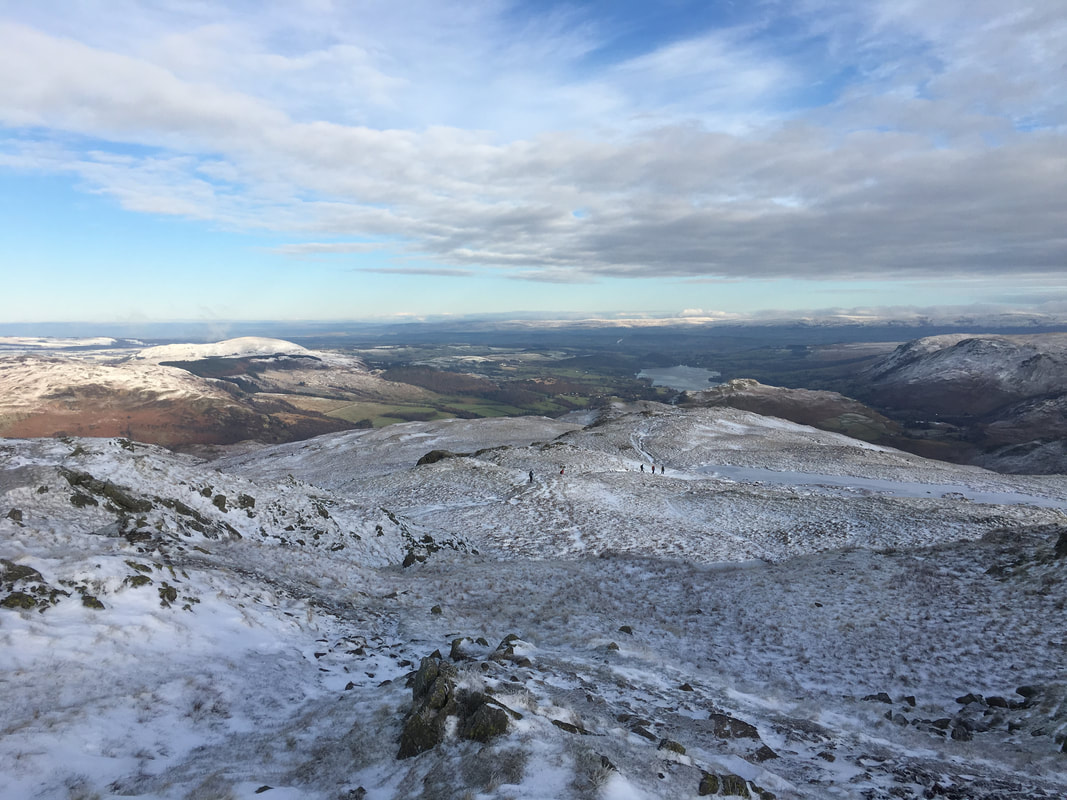
Ascending Boredale Hause, Brothers Water and the Kirkstone Pass come into view
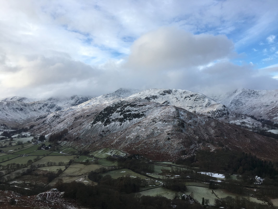
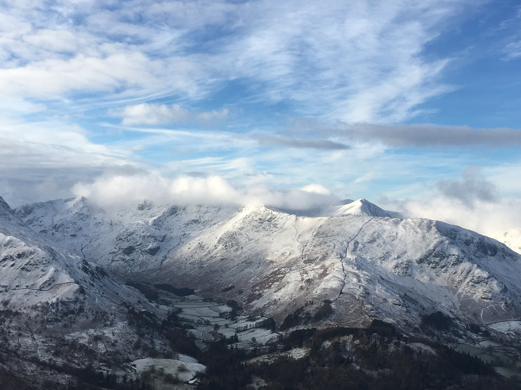
St Sunday Crag & Birks over Arnison Crag
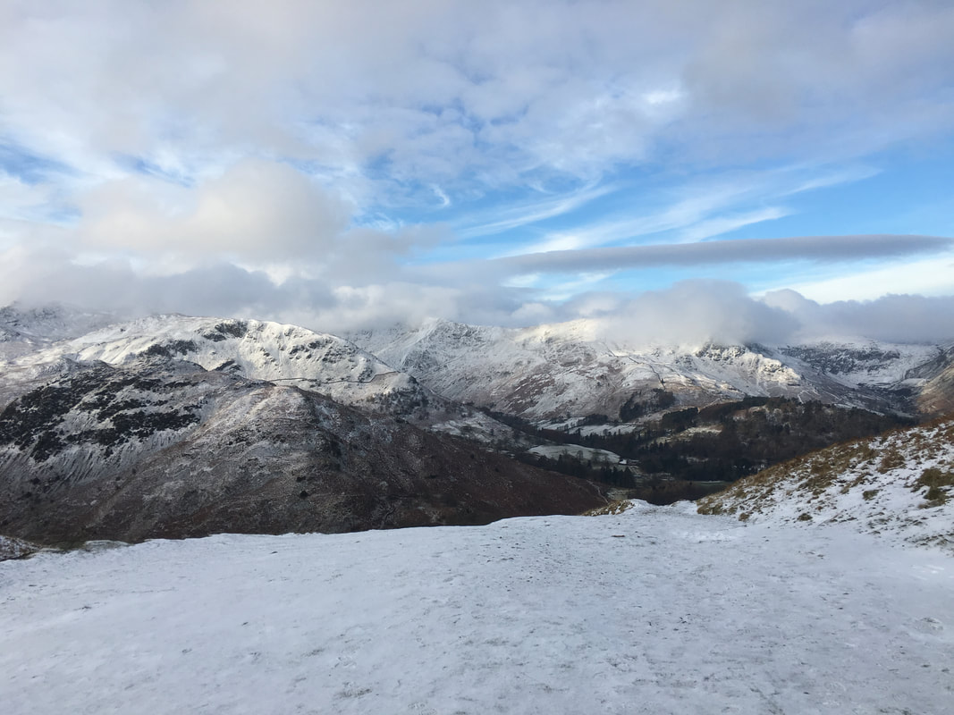
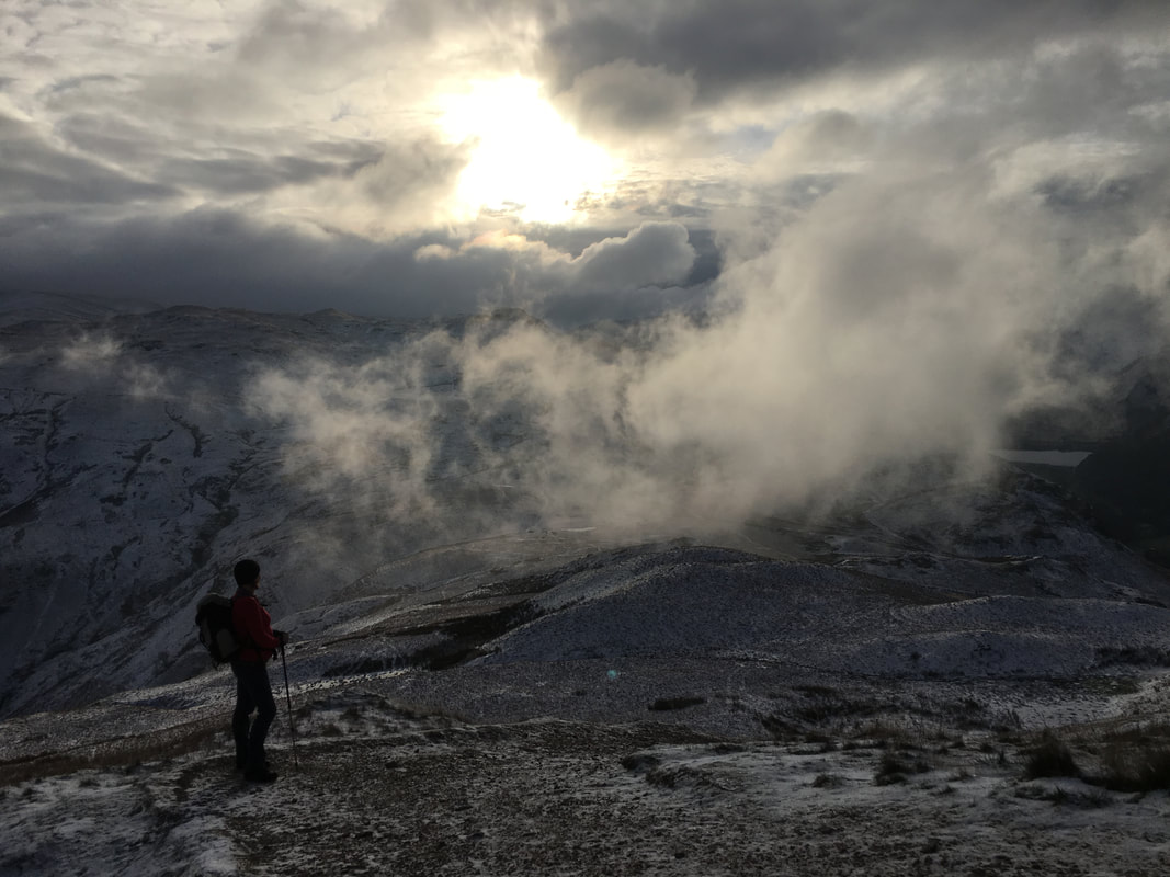
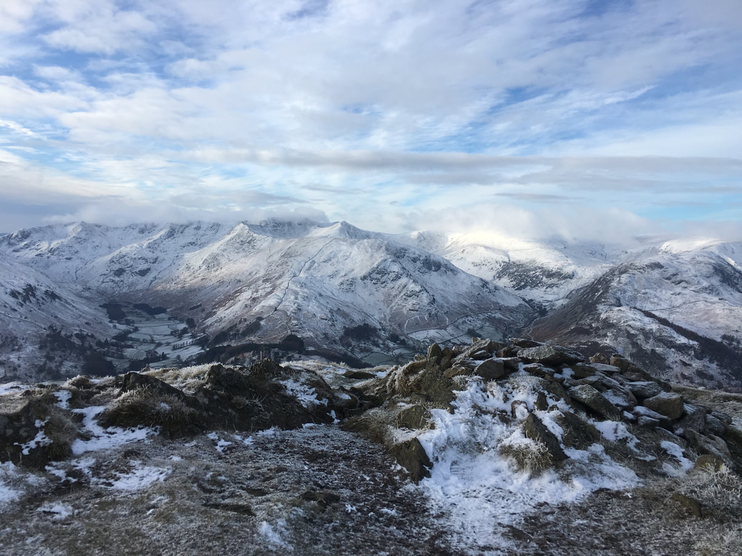
Reaching Boredale Hause the visibility and light to the west improved markedly - however Helvellyn & The Dodds still had a cloudy hat on.
From Boredale Hause the path to Round How heads to the right then cuts across back to the left
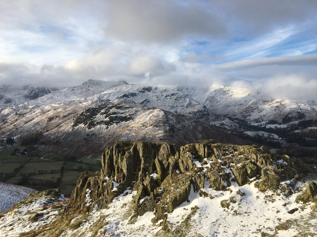
Another great view over to Birks & St Sunday Crag from above Boredale Hause
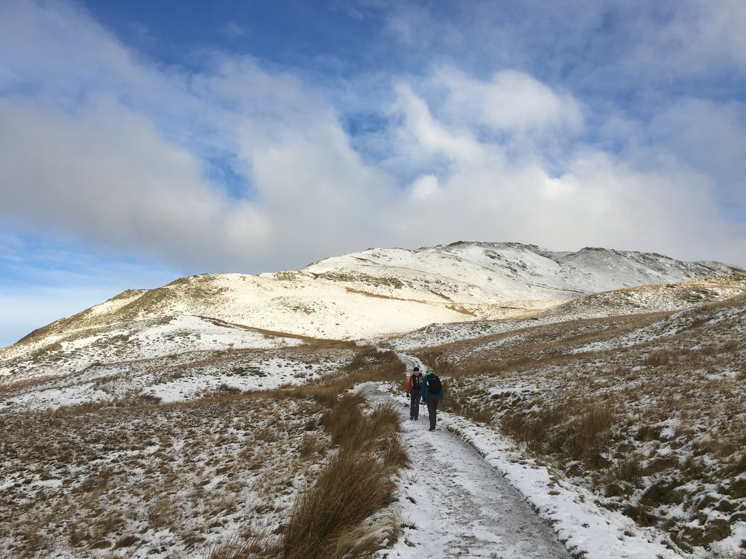
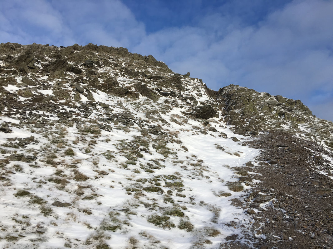
The path to the South Ridge of Place Fell - it wasn't as icy as it looks
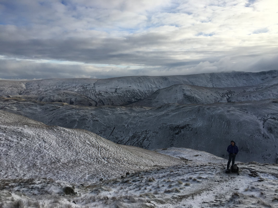
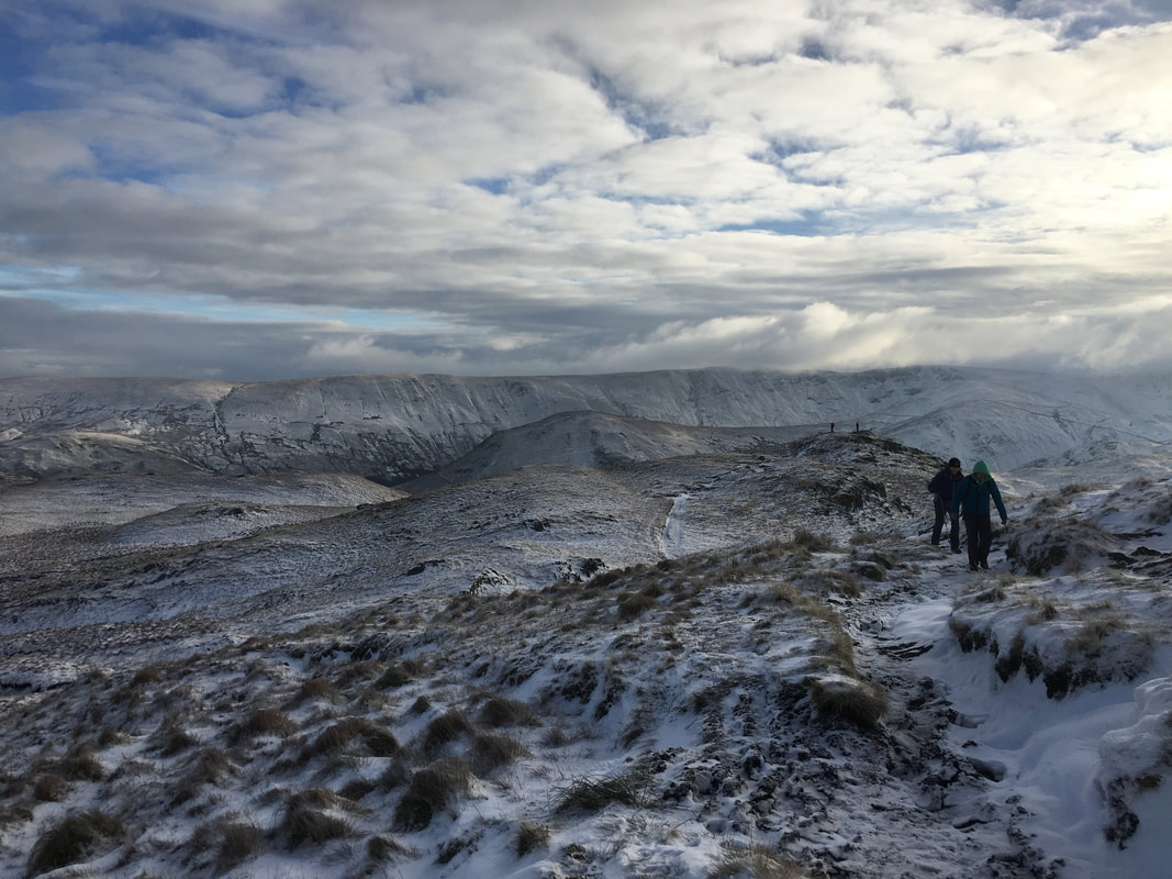
The mood & light was amazing today as we look back over towards High Street
A nice and easy scramble through a steep gully - there is a path to the left which avoids the scramble although it is not difficult.
A clearer view over to the High Street range. The Nab sits just right of centre with High Raise beyond.
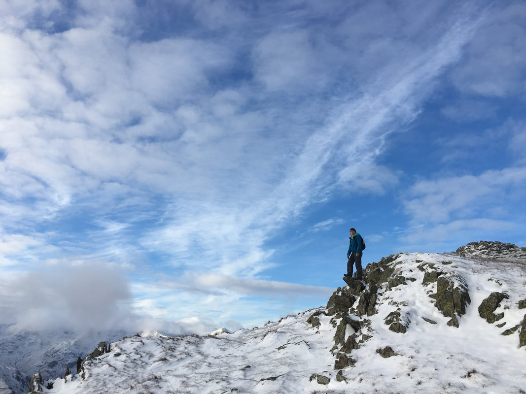
A mini diving board on Round How
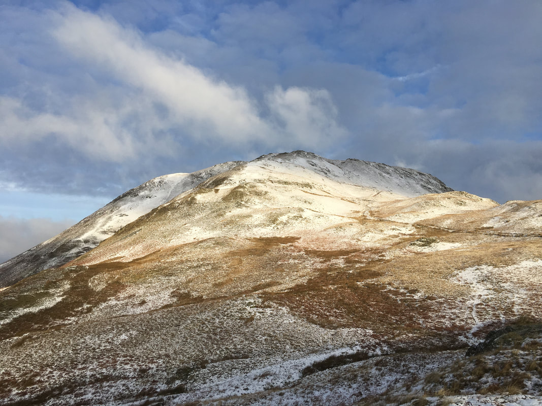
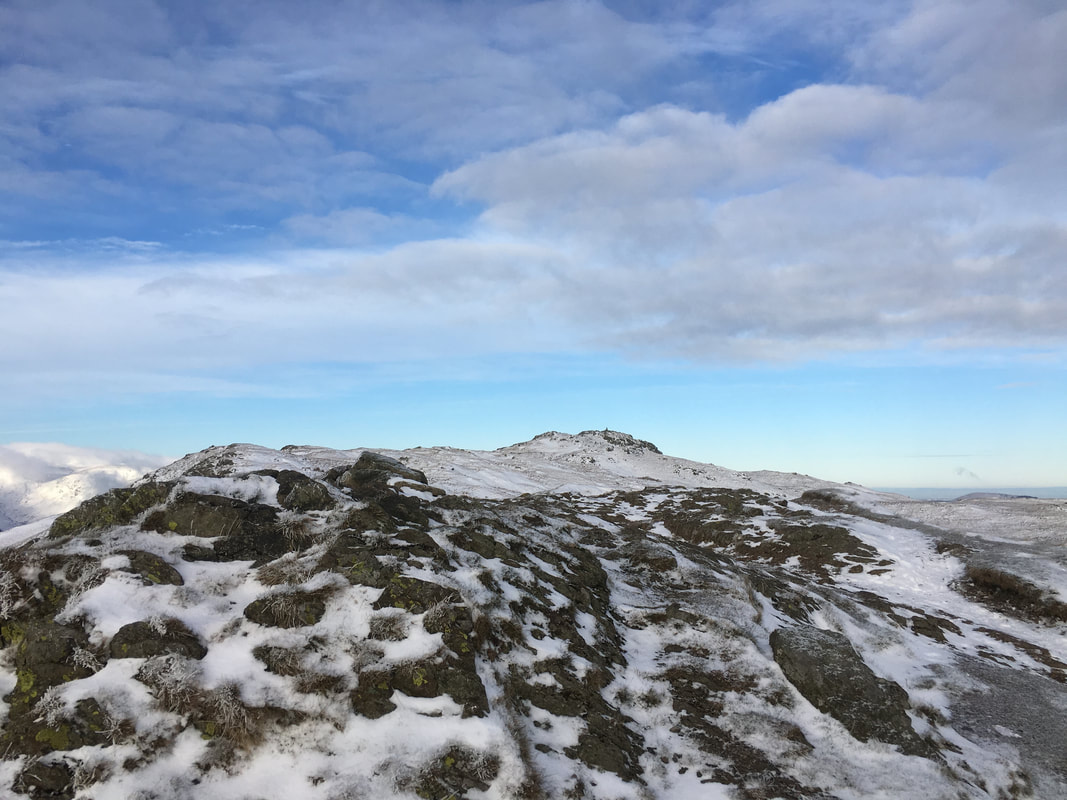
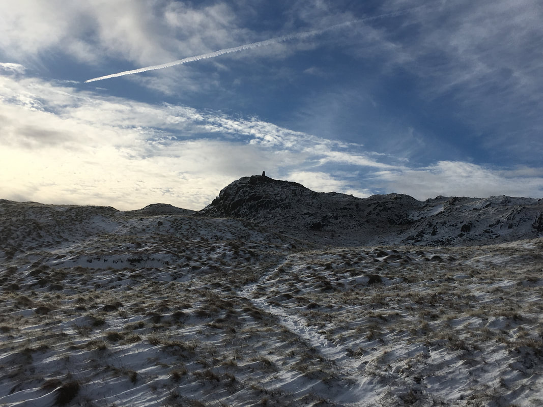
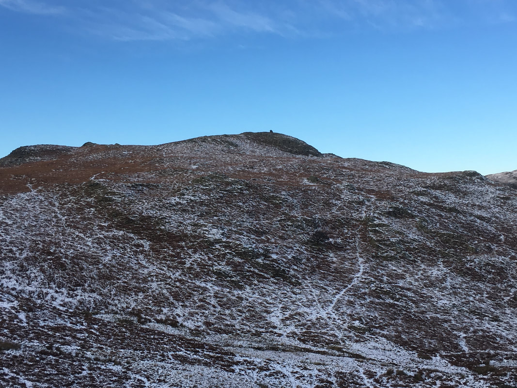
From Round How, the summit of Place Fell comes into view
What a fantastic view that is - Birkhouse Moor, Helvellyn (in cloud) & Catstycam
Approaching the summit of Place Fell - the walkers behind us are stood on Round How
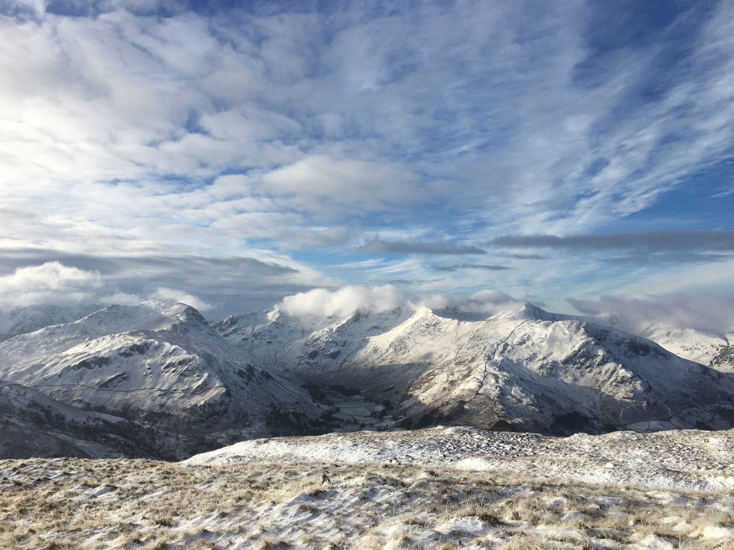
Subtle changes in the light meant that my camera was out all the time - a glorious fellside vista to the west
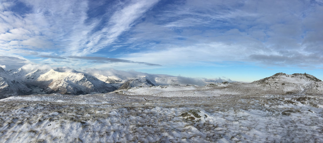
A panorama from the approach to Place Fell
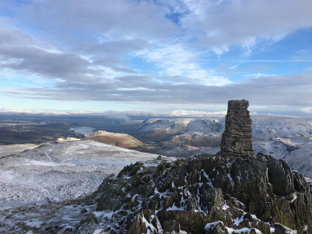
The Trig Point on Place Fell - the true summit lies a few yards to the west and is marked by a small cairn
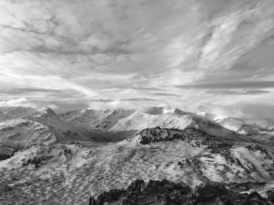
A mono looking west from the Trig Point - the summit of Place Fell is in the foreground
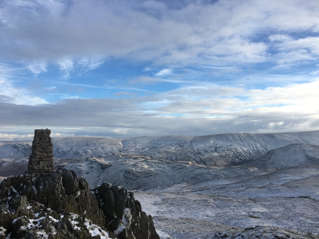
Looking over to the High Street range from the Trig Point
The summit cairn on Place Fell
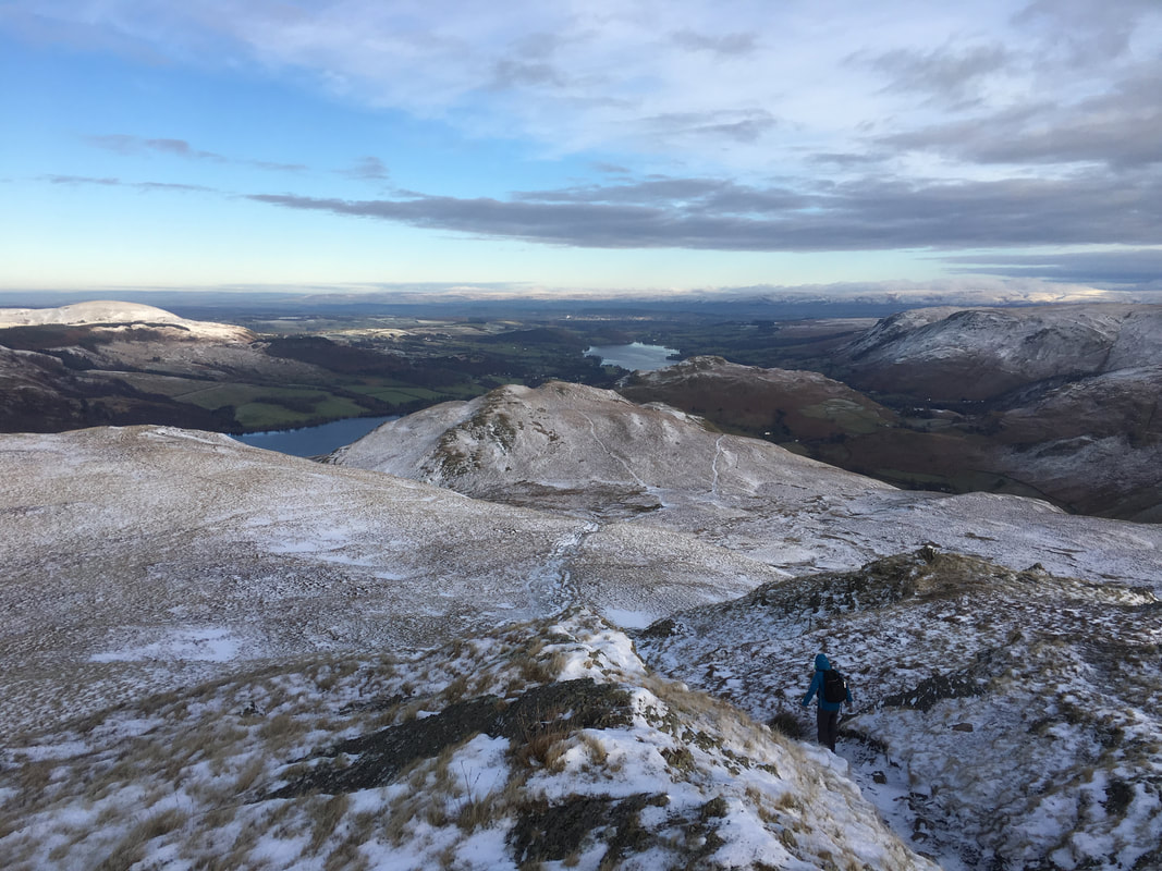
The descent down the north ridge to Low Moss
Looking back to the summit of Place Fell
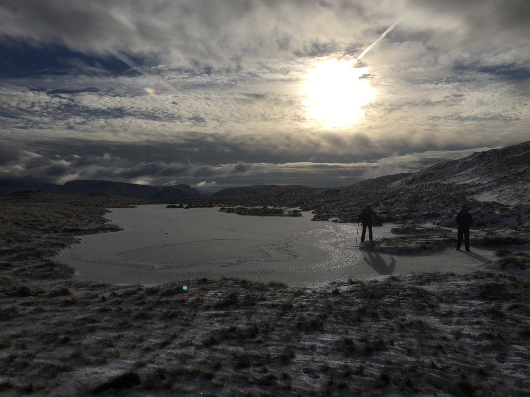
Place Fell Tarn - the water was frozen solid
Low Moss ahead - the peak beyond the col is High Dodd with Hallin Fell beyond
Approaching Low Moss
The old quarry building below High Dodd
Low Birk Fell - tempting but not today
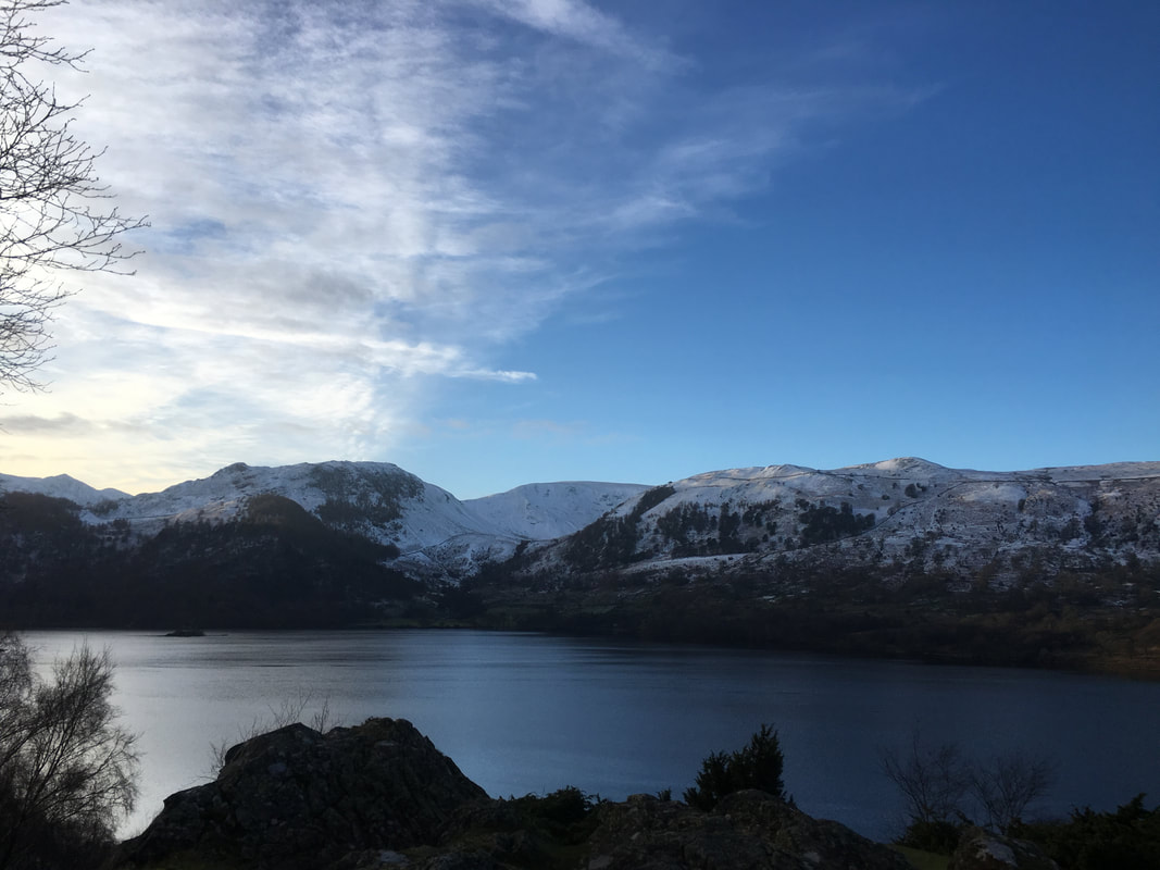
Ullswater
The steep descent down to the lakeshore path - tricky in these conditions
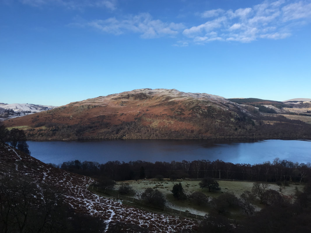
Gowbarrow Fell across Ullswater
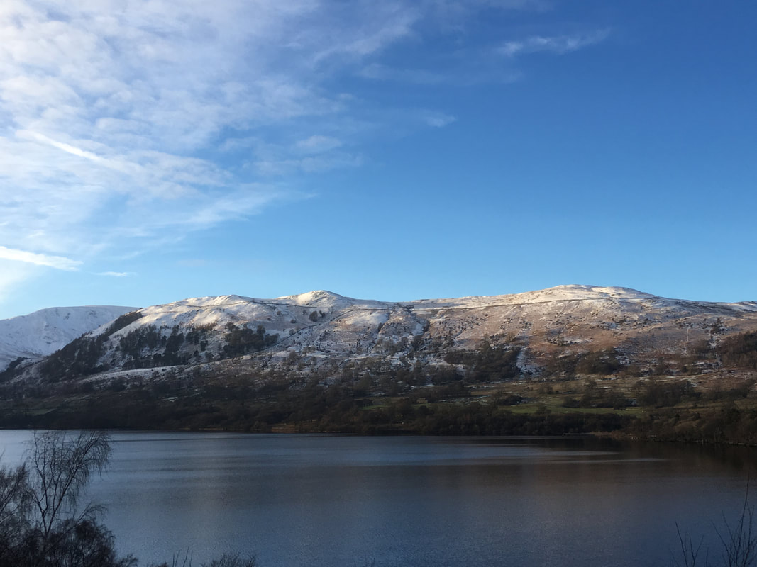
Glenridding Dodd & Sheffield Pike
Light fading now as we near Patterdale
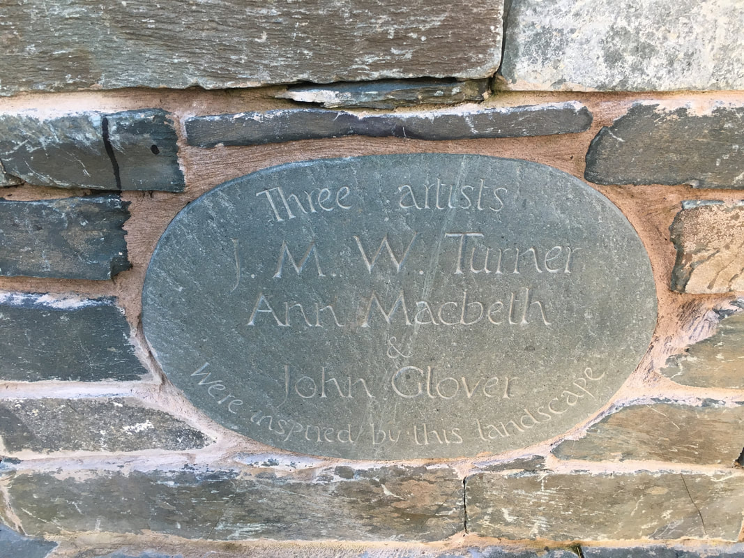
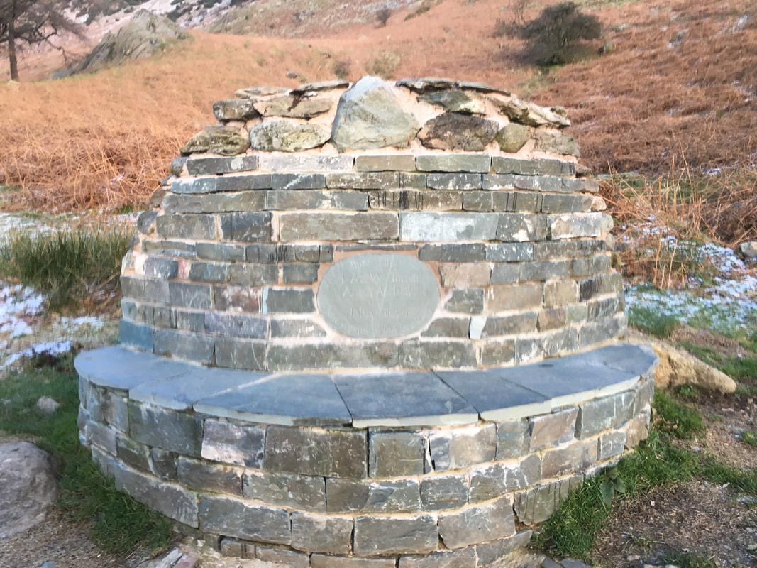
The Artists' Seat
On the lakeshore path there is a memorial seat to 3 artists who were inspired by this landscape - Turner, Macbeth & Glover
On the lakeshore path there is a memorial seat to 3 artists who were inspired by this landscape - Turner, Macbeth & Glover
