The Kentmere Horseshoe - Monday 9 December 2019
Route
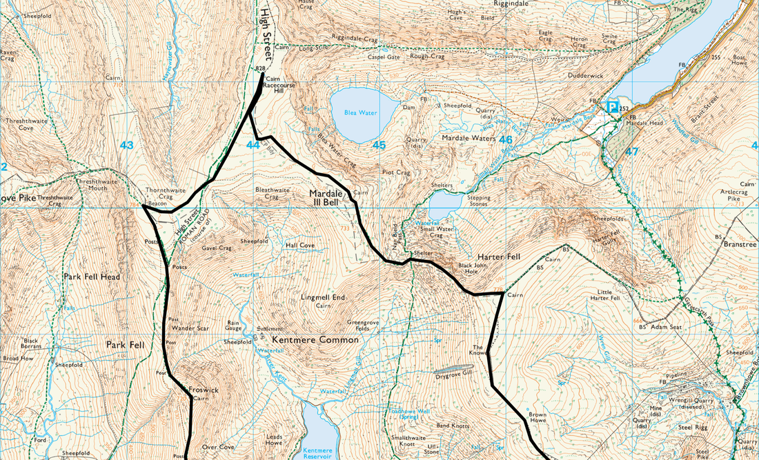
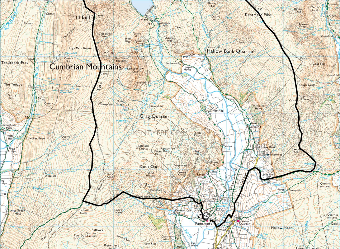
Kentmere - High Lane - Wray Crag - Shipman Knotts - Kentmere Pike - Brown Howe - Harter Fell - Nan Bield -
Mardale Ill Bell - High Street - Thornthwaite Crag - Froswick - Ill Bell - Yoke - Garburn Pass - Crabtree Brow - Kentmere
Parking
Kentmere Institute (Donation) on the left after passing St Cuthbert's Church - Grid Reference NY 45601 04114 (Postcode is LA8 9JL). At weekends you will need to be here very early in order to nab one of the 9 or so available spaces. Please be considerate and do not block the entrance.
Please do not park on the road or in passing places as it makes the road too narrow for farm vehicles and the emergency services. Please also avoid parking in field gateways – farmers need these to be kept clear at all times. Occasionally, a field is opened for parking at Grid Reference NY 45815 03980 (Postcode is LA8 9JP). Be aware that this is agricultural land and therefore not a permanent car park. Due to Planning Regulations, this field can only be opened on a limited number of days each year (weekends). It is also sometimes too wet to allow parking. If you are planning to visit Kentmere and want to park, please ring 01539 821689 to enquire if the field will be open on the day of your planned walk.
Mileage
14 miles
Terrain
A well trodden route therefore in good visibility the paths are self evident although there are some boggy sections and areas where very slight detours are required in order to negotiate the odd swampy area. Care should be taken on the descent from Harter Fell to the Nan Bield Pass - the terrain is steep and on loose stone for some of the transit. We had the remnants of icy snow on the ground but this was easily avoided.
Weather
Bitingly cold coupled with strong winds made for an interesting but entirely safe walk. The winds abated on reaching High Street. Good visibility throughout.
Time Taken
7hrs 30mins
Total Ascent
3600ft (1097m)
Wainwrights
9
Map
OL7 - The English Lakes (South Eastern Area)
Walkers
A Lakeland Meet Ups walk - Dave, Angie, Jeff, Deborah, Colin, Jane, Martin & of course Fudge
|
GPX File
|
| ||
If the above GPX file fails to download or presents itself as an XML file once downloaded then please feel free to contact me and I will send you the GPX file via e-mail.
Route Map
One of the Lake District's classic rounds, we have previously walked the route clockwise therefore this time fancied the anti clockwise version. The walk was organised as a group walk which I led for Lakeland Meet Ups - with fabulous company and an excellent debrief in The Watermill at Ings, this was a fantastic day out. Clockwise or anti clockwise the Kentmere Horseshoe has it all - give it a go.
Many thanks to Jeff Nagle for providing some of the photographs for this walk.
Many thanks to Jeff Nagle for providing some of the photographs for this walk.
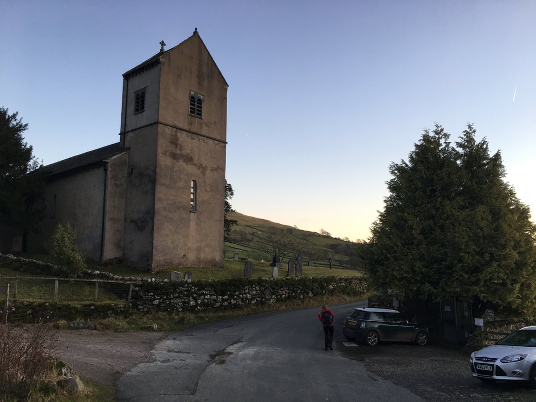
The walk starts from near St Cuthbert's Church at the parking area by the Kentmere Institute
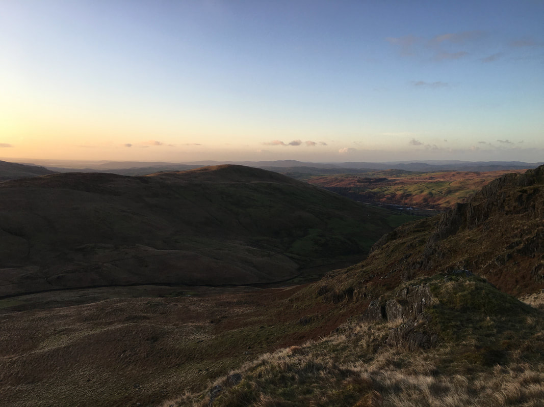
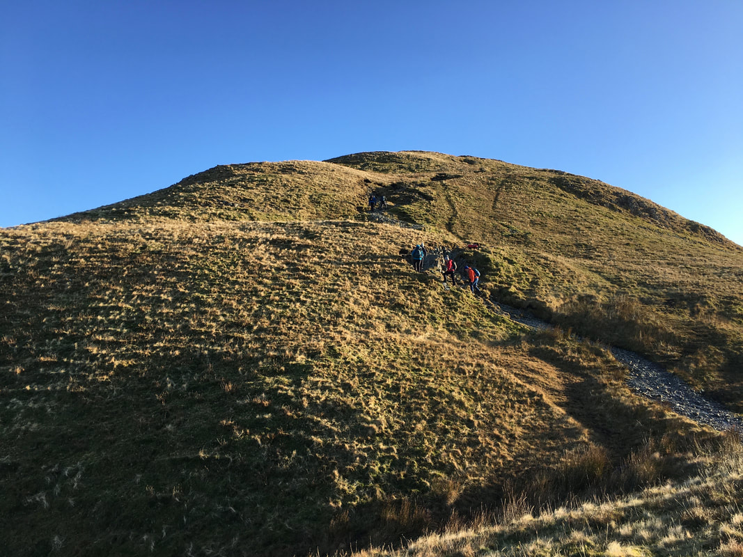
We were out of the blocks early doors for this one therefore had the joy of watching the sunrise as we ascended Shipman Knotts
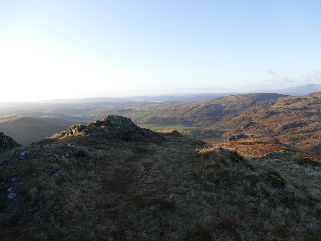
The sun was just about up as we look back to Green Quarter from the ascent up to Shipman Knotts.
There are some boggy sections on the ascent but nothing too onerous.
There are some boggy sections on the ascent but nothing too onerous.
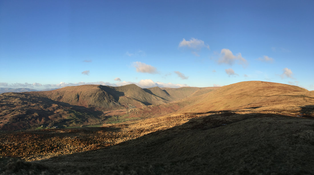
Looking to Kentmere Pike which is to the right with our return route of Yoke, Ill Bell, Froswick & Thornthwaite Crag over to the left.
Whilst it was very windy and a tad chilly, we knew we were in for a cracking day - to be honest the viz could not have been better.
Whilst it was very windy and a tad chilly, we knew we were in for a cracking day - to be honest the viz could not have been better.
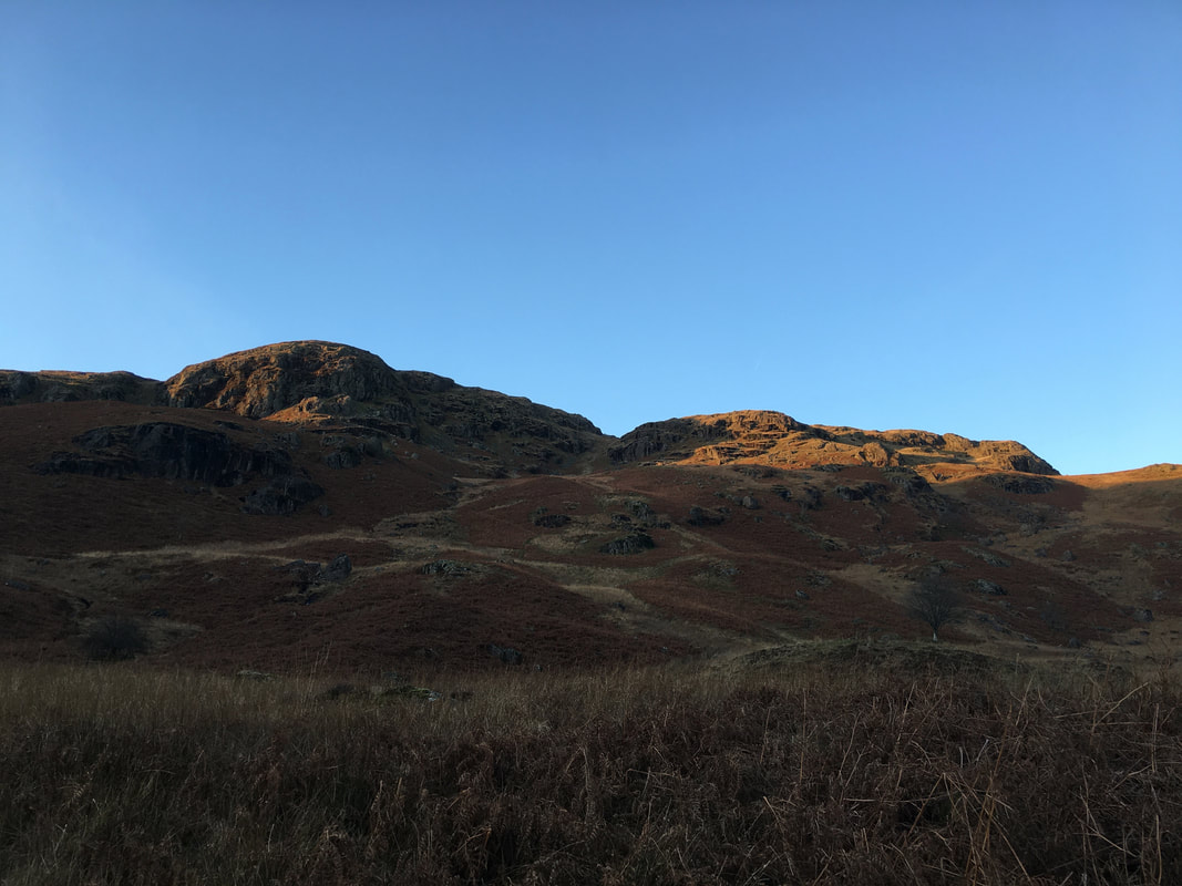
Crag Quarter with the lower slopes of Yoke to the right
Shipman Knotts ahead
On the summit of Shipman Knotts looking south.
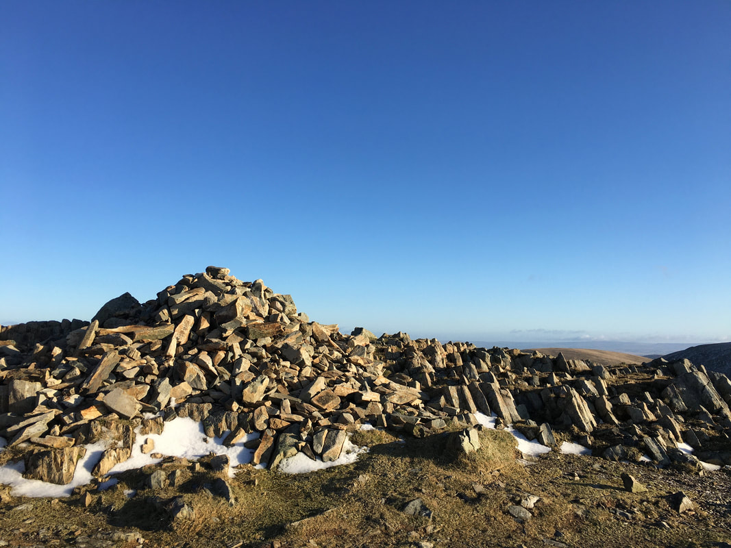
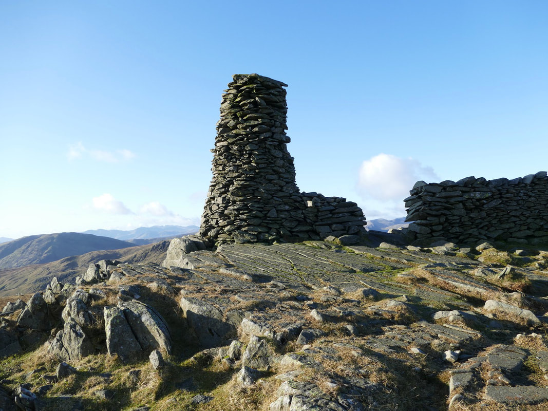
The summit is on the eastern side of the wall although naturally some people think that this rocky outcrop on the western side is the highest point. This is probably because when reached, it feels the highest as it is on the path when coming from either direction.
The summit is on the eastern side of the wall although naturally some people think that this rocky outcrop on the western side is the highest point. This is probably because when reached, it feels the highest as it is on the path when coming from either direction.
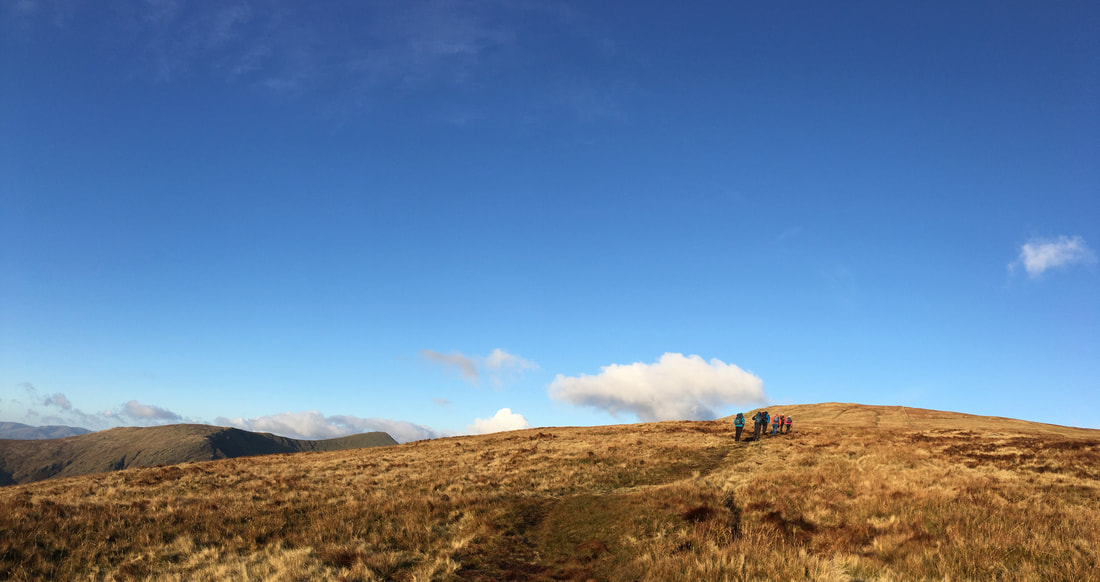
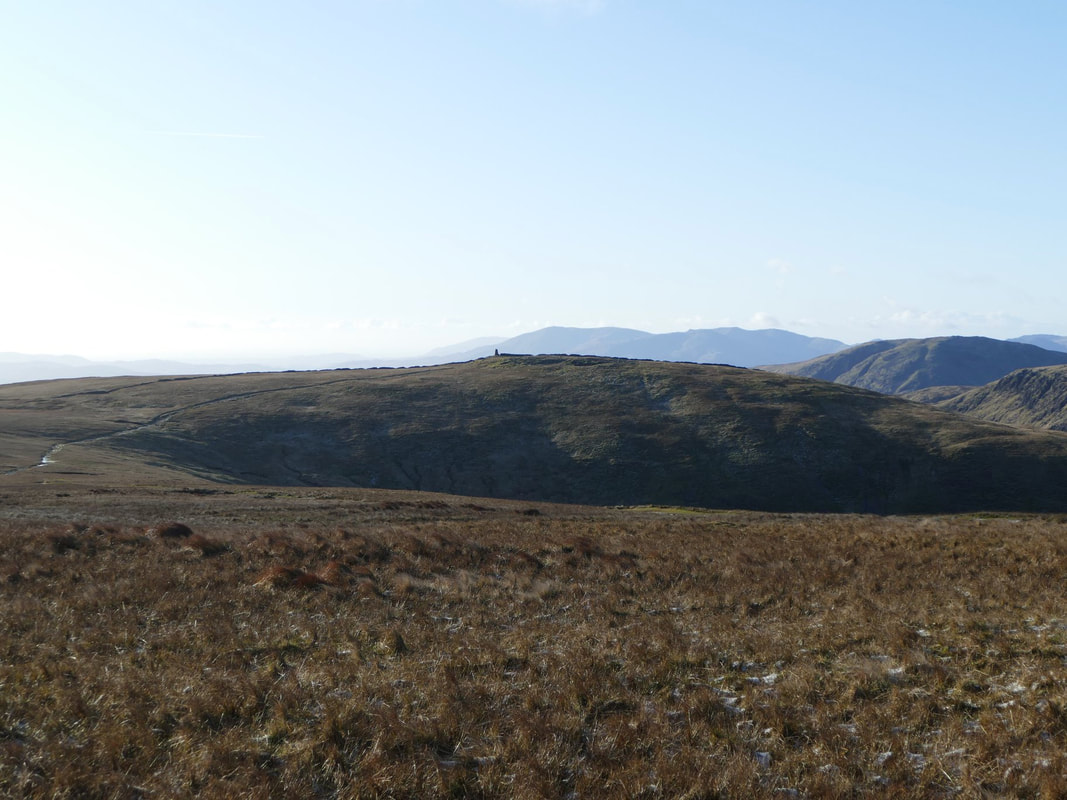
Heading for Kentmere Pike
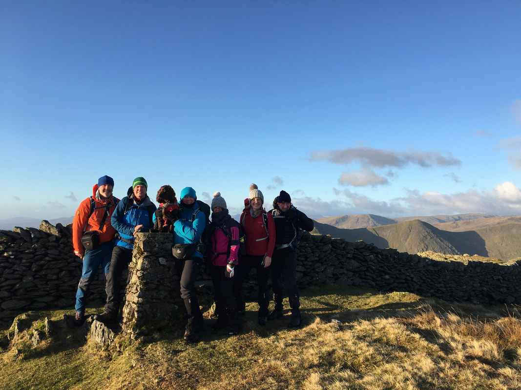
My walking companions on the summit of Kentmere Pike - L-R Jeff, Martin, Fudge, Angie, Deborah, Jane & Colin
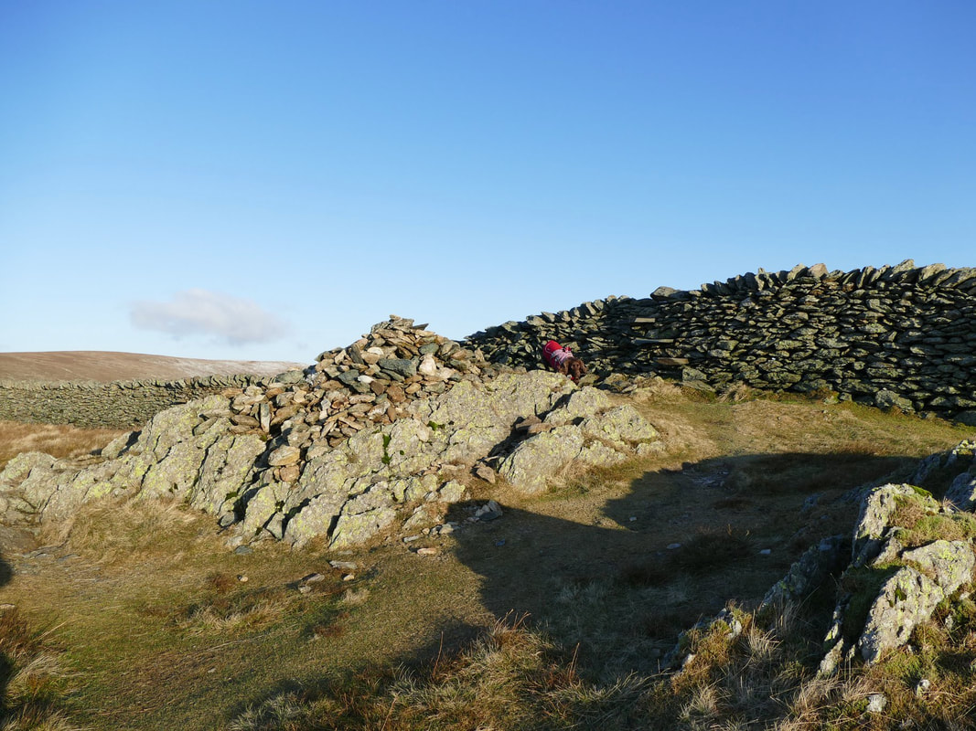
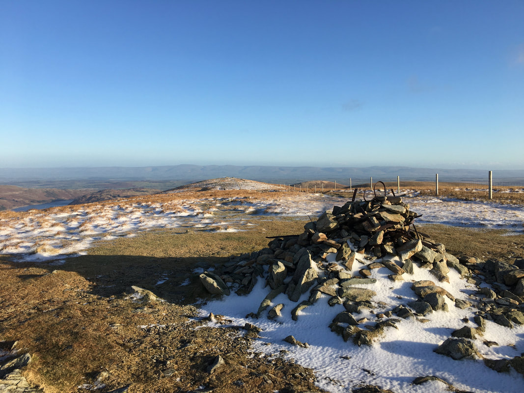
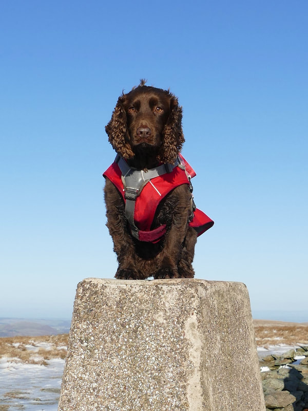
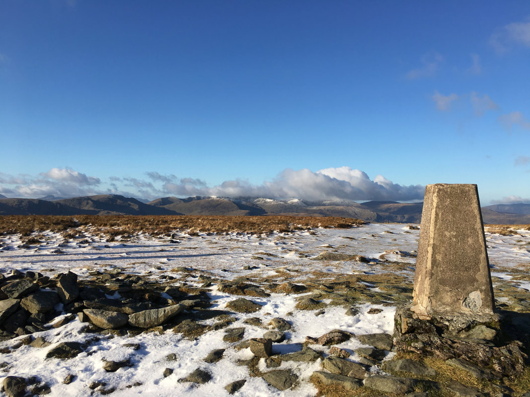
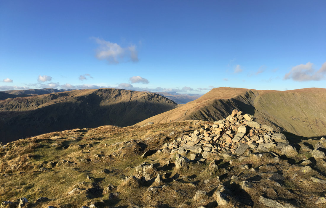
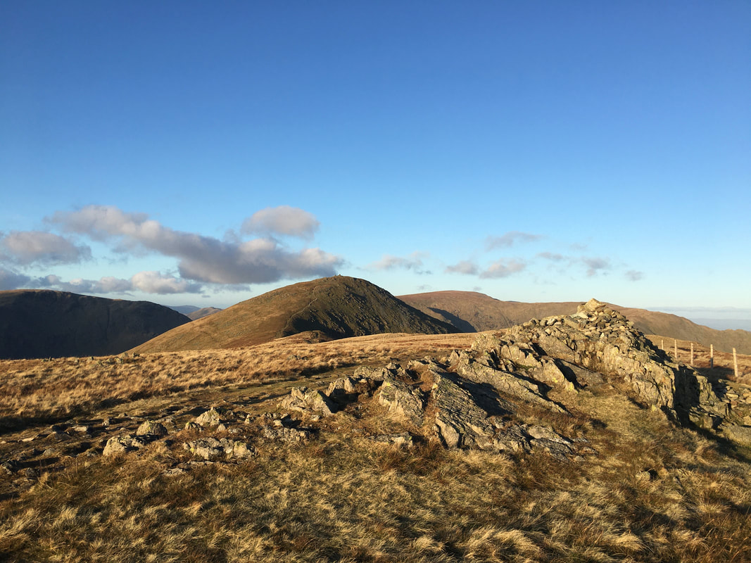
The summit cairn on Kentmere Pike - the Trig Point is on the other side of the wall and is reached via a stone stile where Fudge is
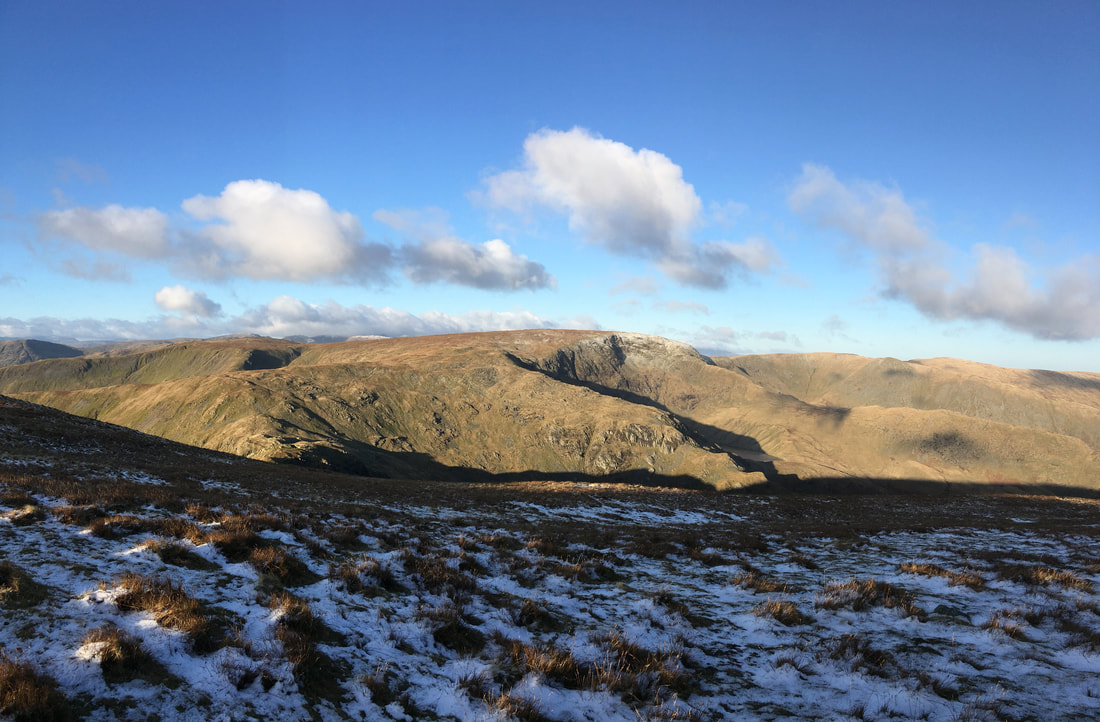
Looking over to Mardale Ill Bell & High Street from the transit to Harter Fell
The summit of Harter Fell
If time allows it is worth heading out to the "fence corner" as pictured on the "Harter Fell 10" page in Wainwright's Far Eastern Fells pictorial guide. We didn't go there today but the fence corner gives a superb view down Haweswater.
If time allows it is worth heading out to the "fence corner" as pictured on the "Harter Fell 10" page in Wainwright's Far Eastern Fells pictorial guide. We didn't go there today but the fence corner gives a superb view down Haweswater.
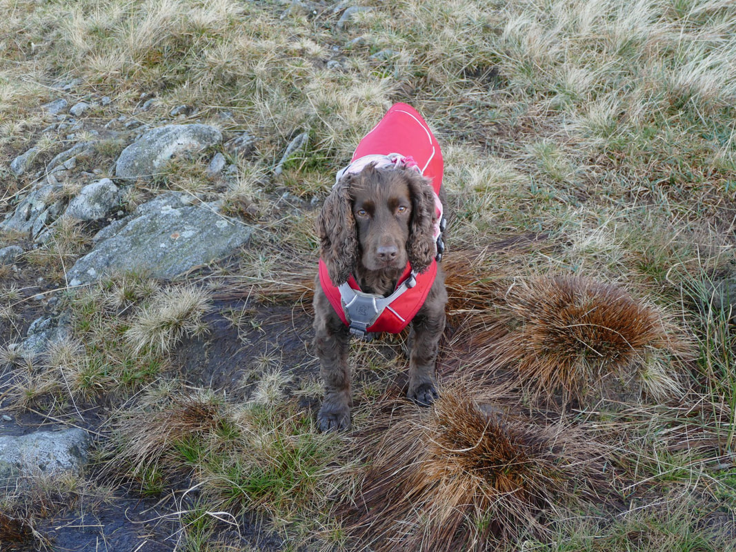
"I do love all this walking malarkey but are we stopping for my nosebag soon Dad?"
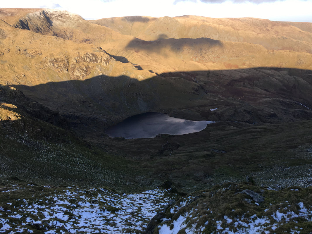
Looking down on Small Water from the descent to Nan Bield
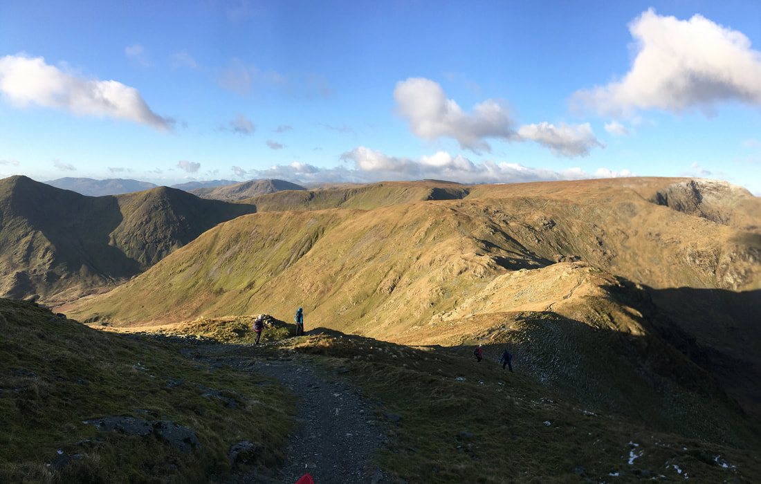
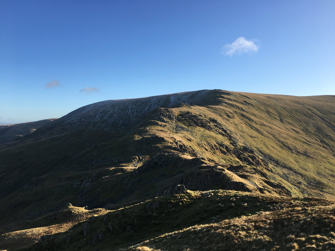
The descent down to Nan Bield - our ascent of Mardale Ill Bell can be seen to the right
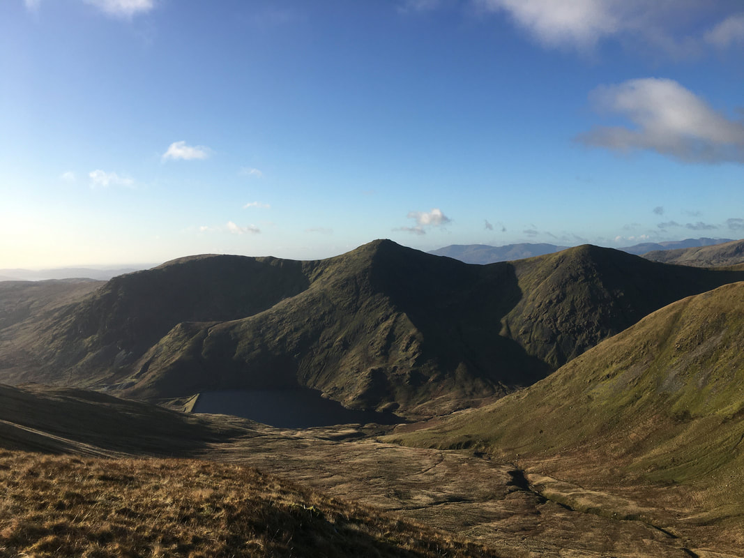
Yoke, Ill Bell & Froswick with Kentmere Reservoir sitting below
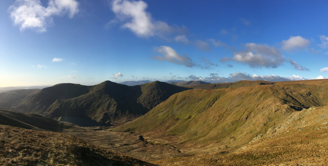
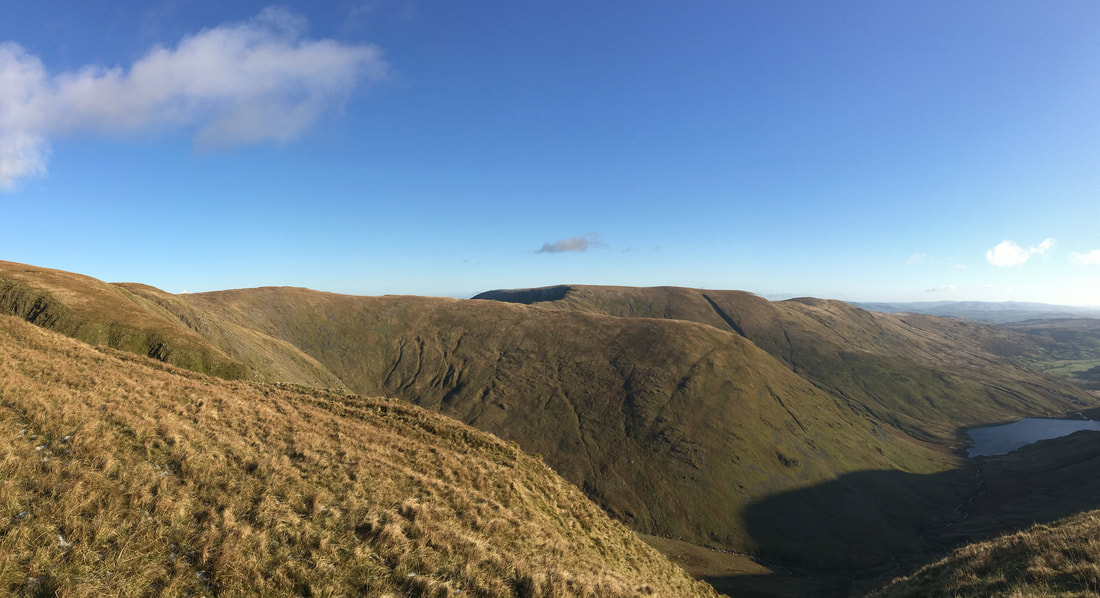
A panorama of the Kentmere Valley - it is a beautiful sight on a day like today
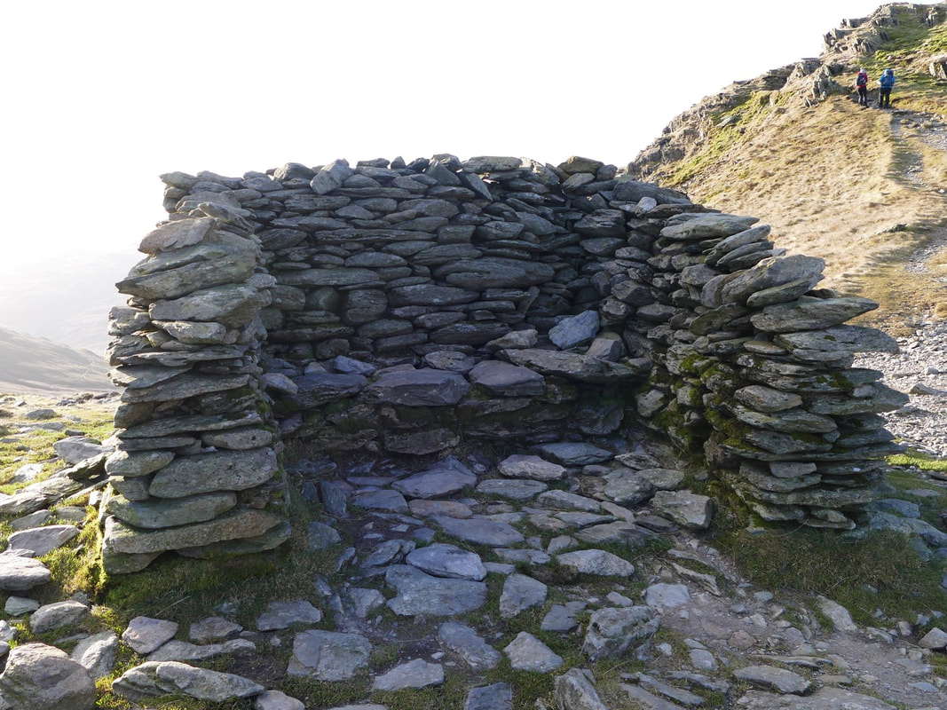
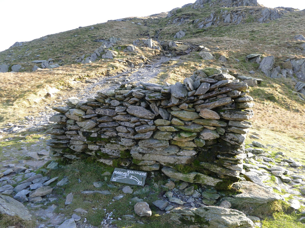
Ordinarily the shelter at the top of the Nan Bield pass would be a more than adequate stop for lunch.
However it was blowing an absolute hoolie here therefore we sought shelter from the wind higher up on our ascent of Mardale Ill Bell
However it was blowing an absolute hoolie here therefore we sought shelter from the wind higher up on our ascent of Mardale Ill Bell
We were off to Kentmere but not via the valley route - in inclement weather this would be an escape route down to the valley floor
Looking back to the descent from Harter Fell
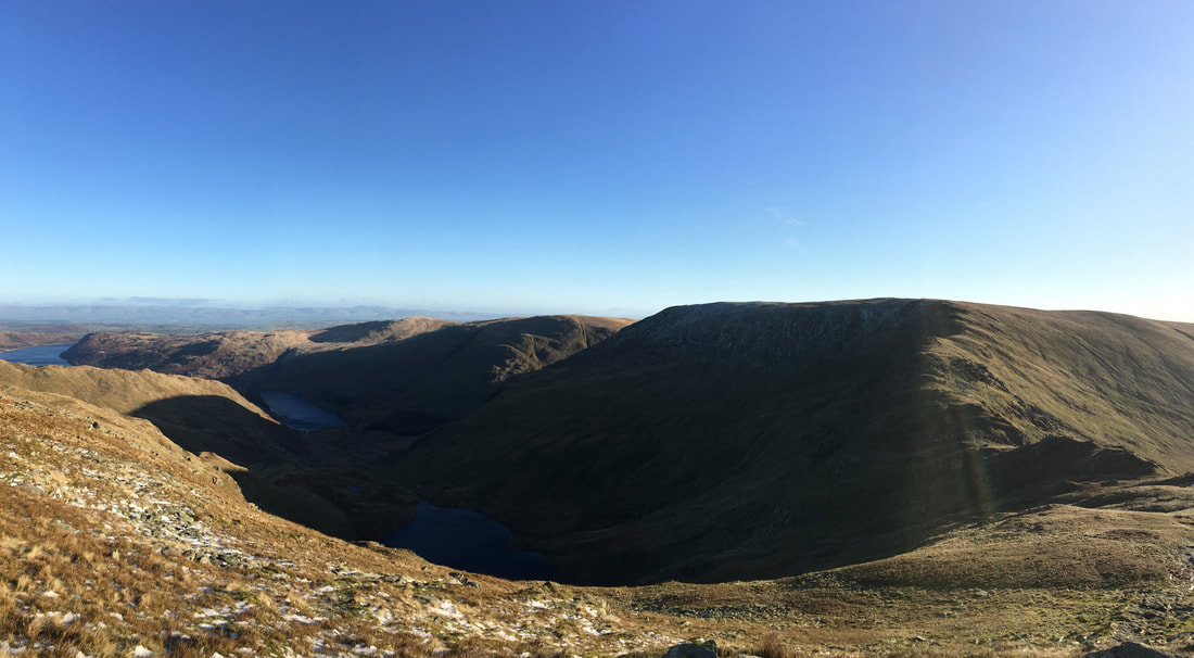
Small Water, Haweswater & Harter Fell - Branstree is the fell in the centre of shot
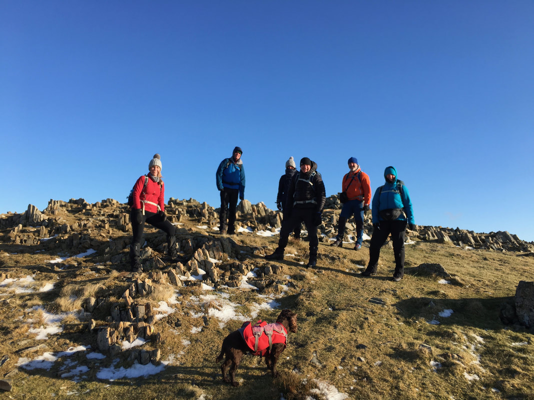
At least they are all still smiling as we reach the summit of Mardale Ill Bell - Fudge has clearly had enough of posing for photographs
The summit of Mardale Ill Bell
Top dog on the summit of High Street
The summit of High Street - the highest point in the Far Eastern Fells
Whilst there is a flat expanse ahead, this is one of my favourite views as when reached most of Lakeland is spread out in front of you
Whilst there is a flat expanse ahead, this is one of my favourite views as when reached most of Lakeland is spread out in front of you
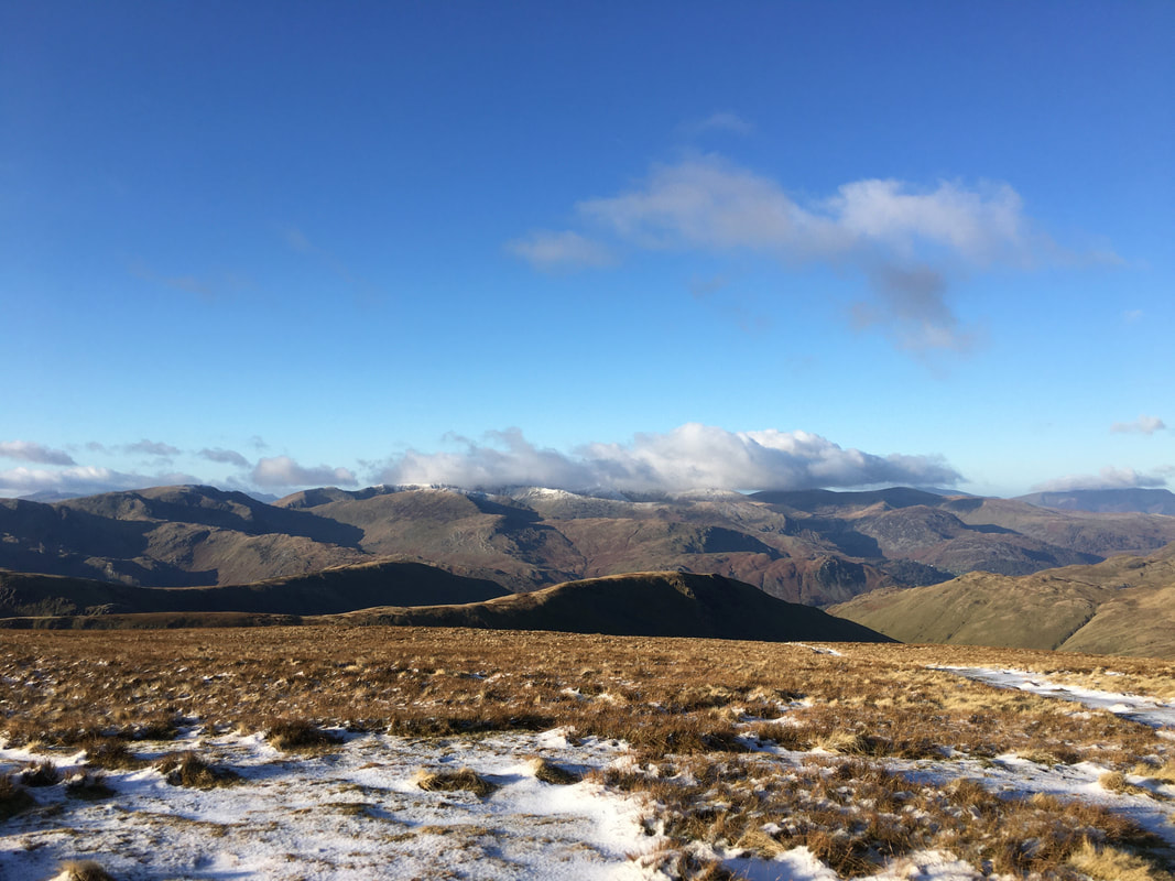
Fells galore looking west from from High Street
Mardale Ill Bell, Harter Fell & Kentmere Pike with Kentmere Reservoir below
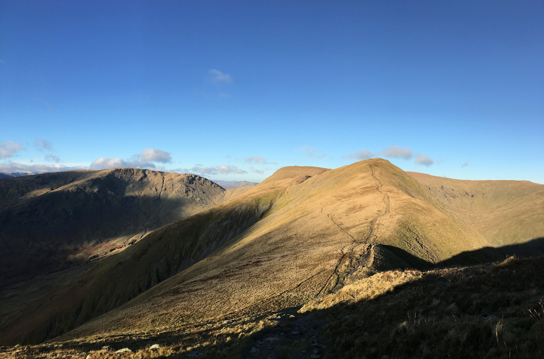
The route from High Street to the next summit of Thornthwaite Crag
The 14ft beacon on Thornthwaite Crag - no-one forgets coming here. The actual highest point of the fell is 148ft (45m) north of the beacon.
The transit to Froswick looking back to Caudale Moor & Thornthwaite Crag
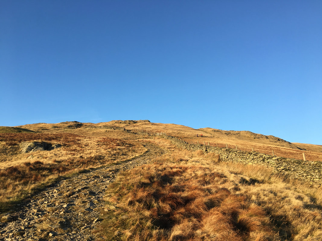
The short pull up to Froswick's summit
The summit of Froswick
Heading into the sun to Ill Bell
Caudale Moor, Froswick, Thornthwaite Crag & High Street from the ascent of Ill Bell
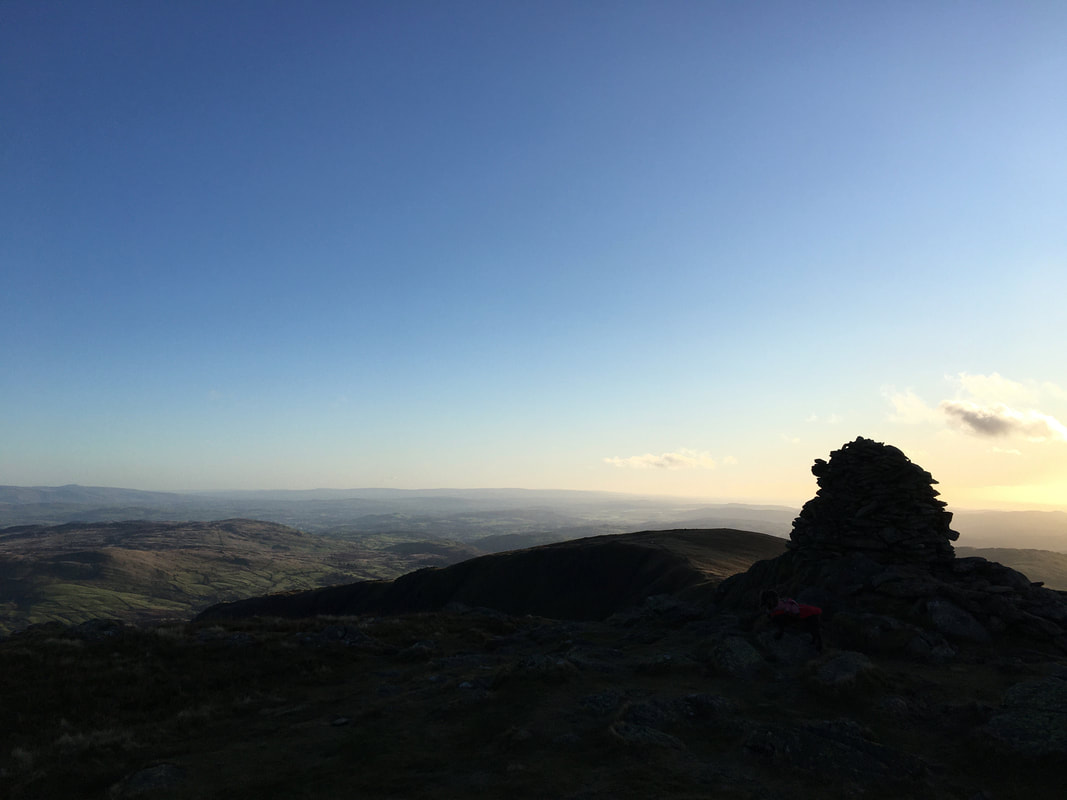
The summit of Ill Bell in silhouette
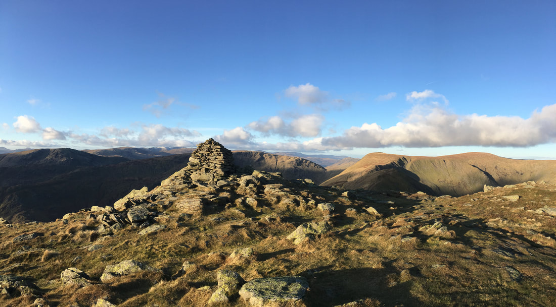
The summit of Ill Bell
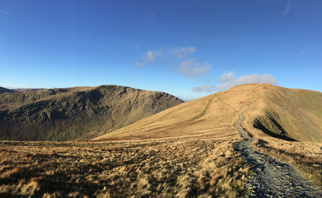
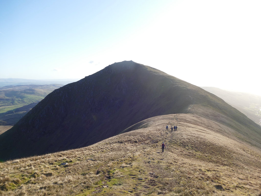
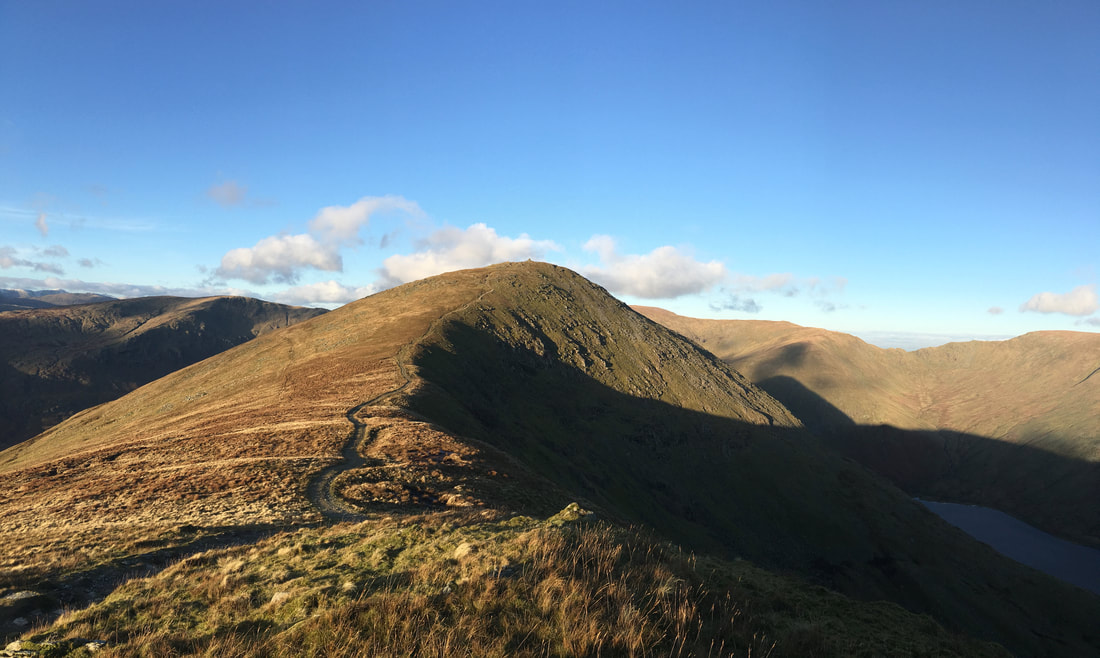
The transit over to Yoke and our last summit of the day
Looking back to Ill Bell
The summit of Yoke
Despite ticking off Yoke we still had over 3 miles to go back to Kentmere
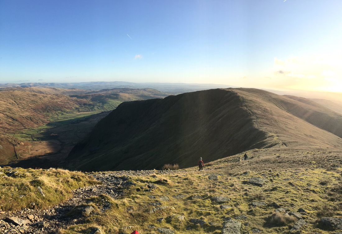
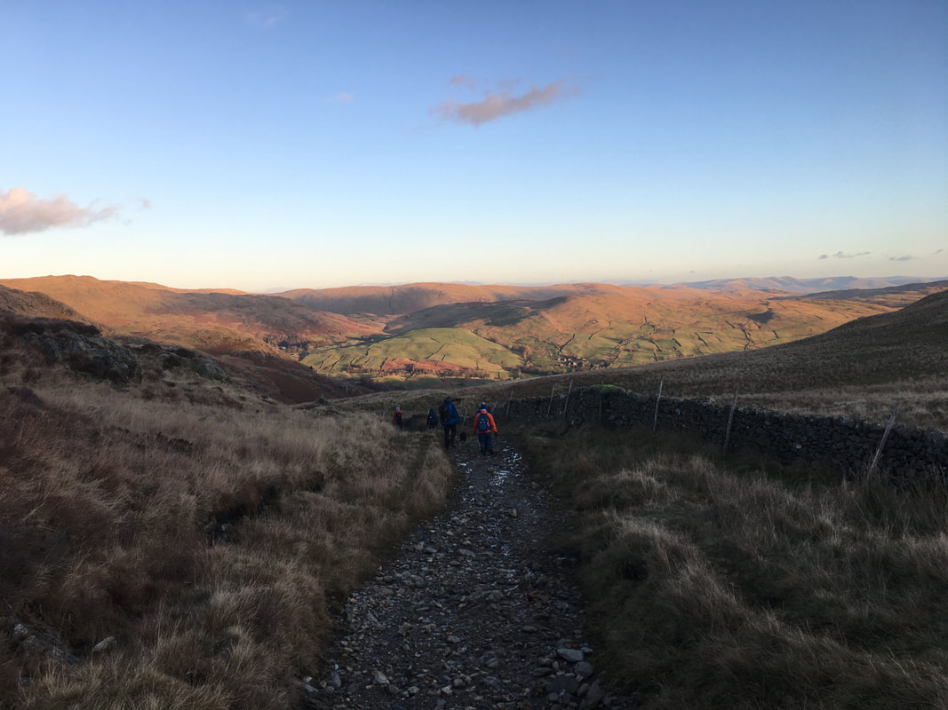
The descent from Yoke to reach the Garburn Pass
Heading along Crabtree Brow
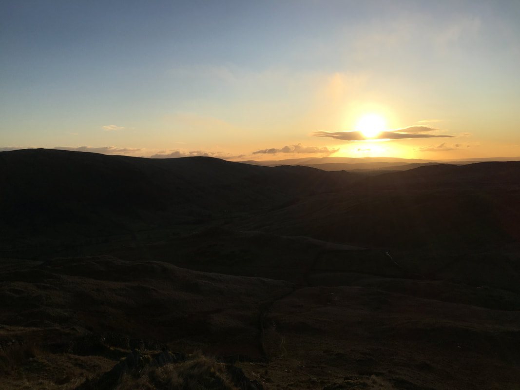
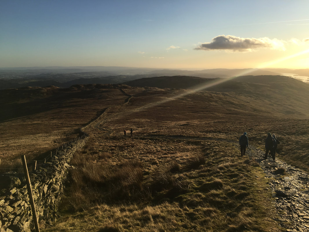
The sun is setting as we near Kentmere.
What a cracking day out on this classic route - a must do walk if you haven't done so already.
What a cracking day out on this classic route - a must do walk if you haven't done so already.
