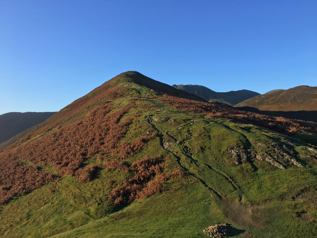
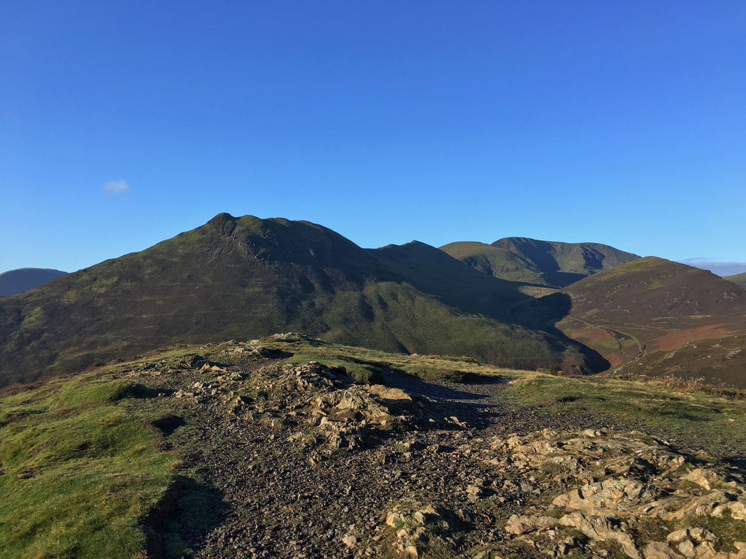
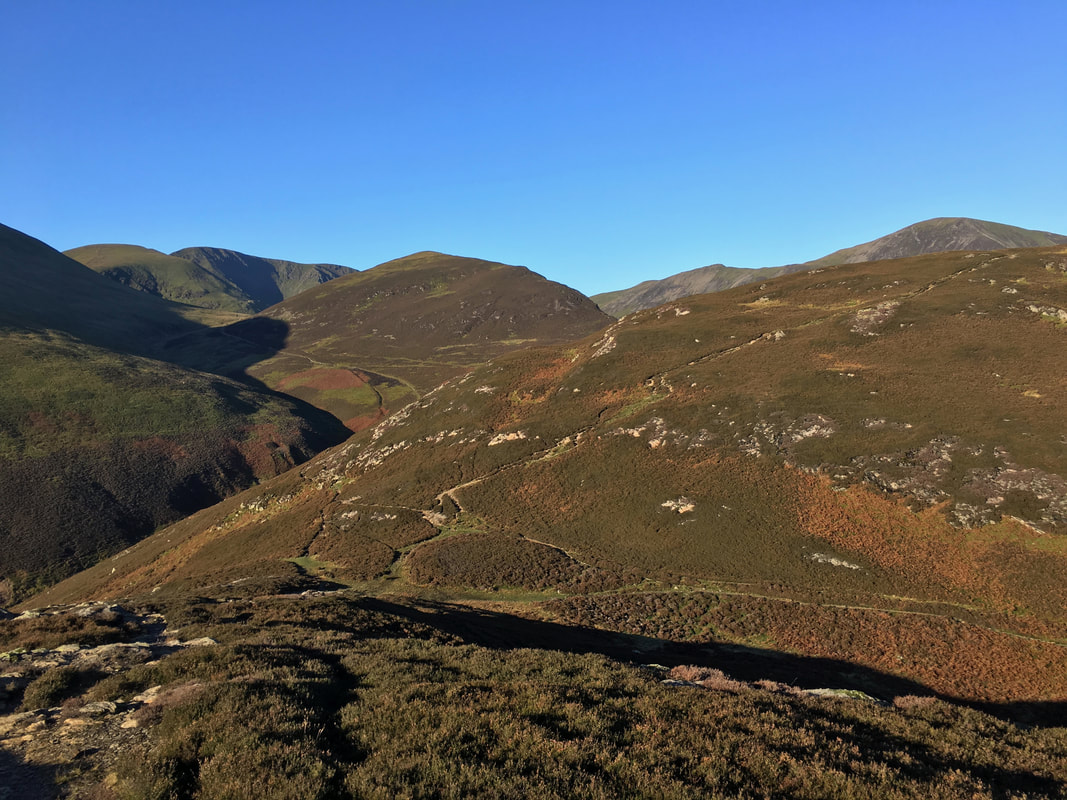
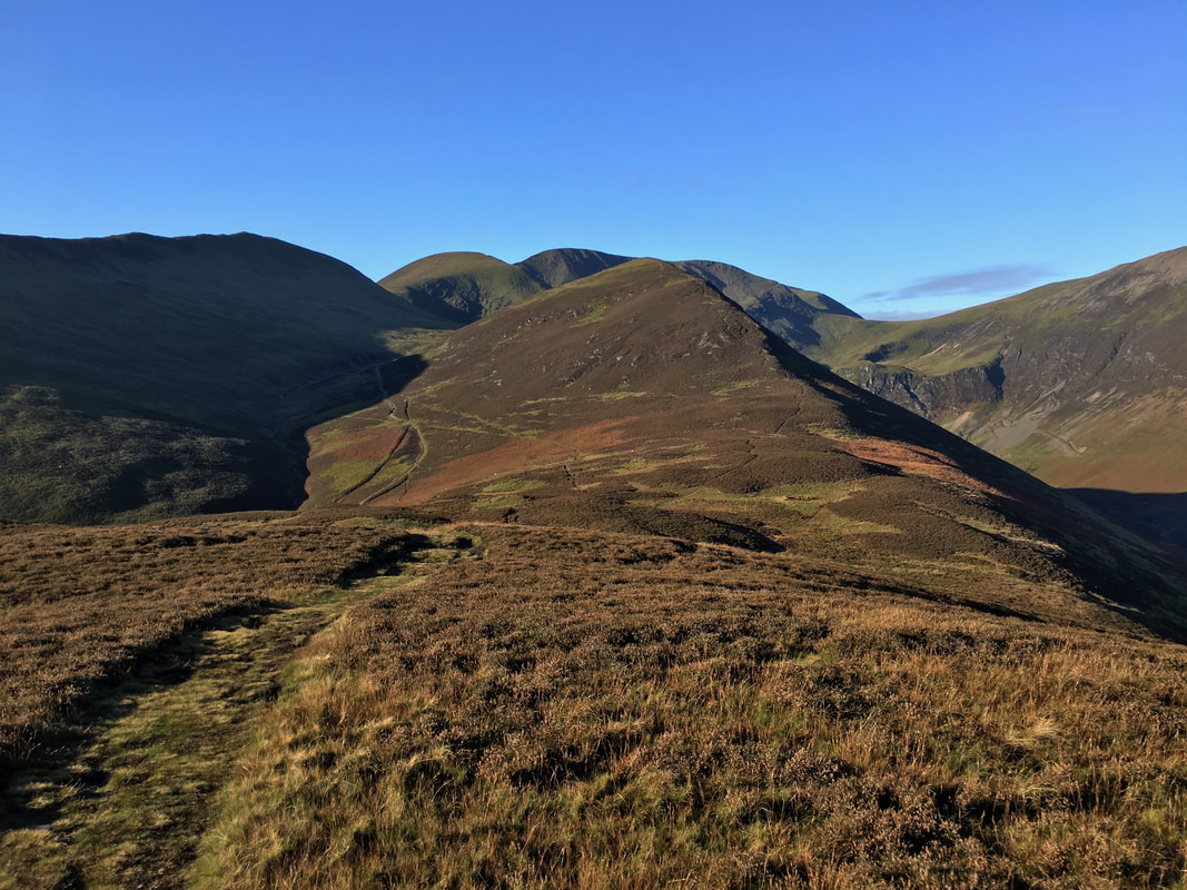
Coledale Horseshoe - Thursday 18 October 2018
Route
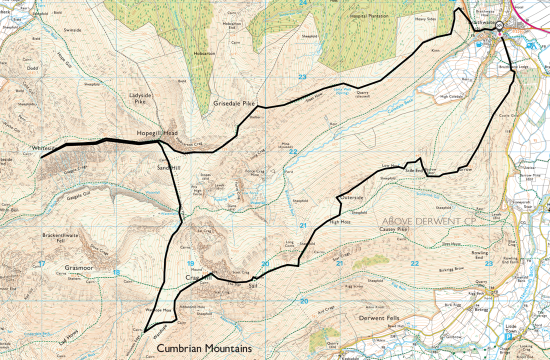
Braithwaite - Braithwaite Lodge - Barrow - Barrow Door - Stile End - Low Moss - Outerside - High Moss - Sail Pass - Sail - The Scar - Crag Hill - Wandope - Thirdgill Head Man - Coledale Hause - Sand Hill - Hopegill Head - Whiteside - Hopegilll Head - Hobcarton Crag - Grisedale Pike - Sleet How - Kinn - Braithwaite
Parking
On road parking in Braithwaite - Nearest Postcode is CA12 5SY.
Mileage
13.2 miles
Terrain
This is a well trodden route therefore good mountain paths throughout.
Weather
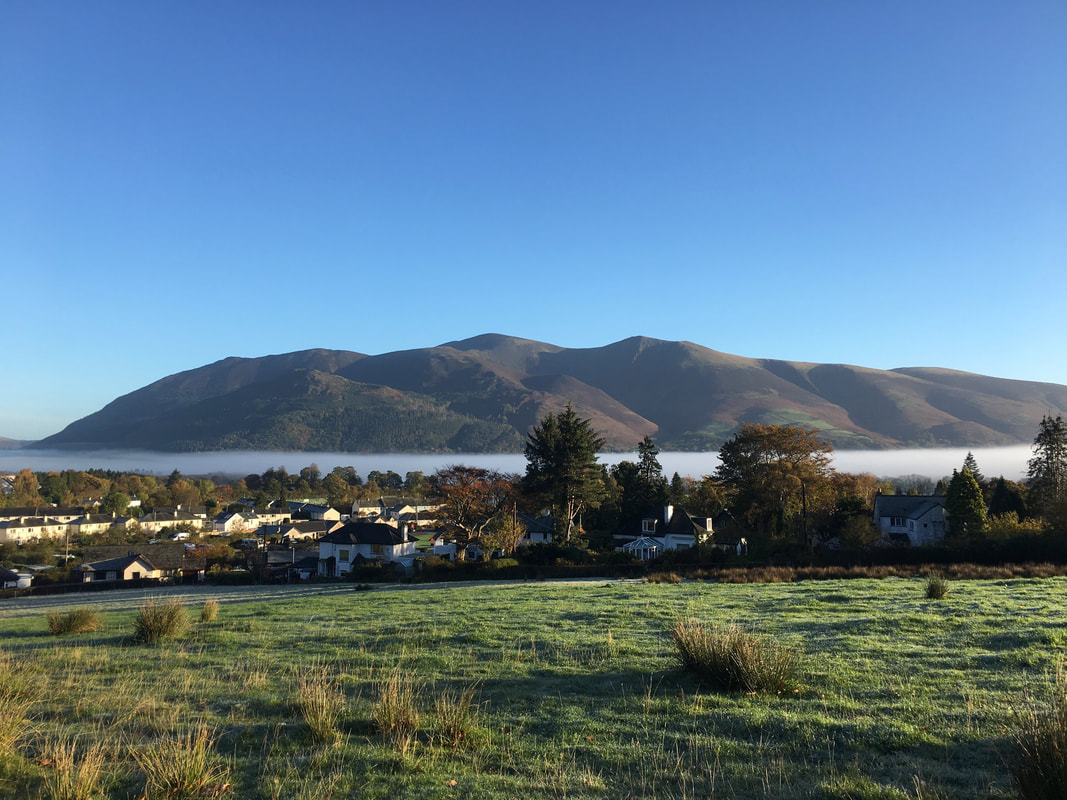
Perfect - a sunny and crisp day with excellent visibility. We even had a low level inversion at the start.
Time Taken
8hrs
Total Ascent
5436ft (1657m)
Wainwrights
8
Map
OL4 - The English Lakes (North Western Area)
Walkers
Dave & Fudge with Andy McGuirk & Amber Brooks
|
GPX File
|
| ||
If the above GPX file fails to download or presents itself as an XML file once downloaded then please feel free to contact me and I will send you the GPX file via e-mail.
Route Map
I've christened this route "The Leaping Cat"
The walk today started from the village of Braithwaite where there is on road parking in the village. There is additional parking further up the road in Coledale and on the left as the road leaves the village. As with anywhere, please park sensibly.
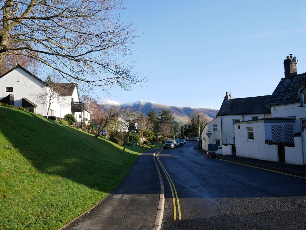
Today I was out leading a walk for Lakeland Meet Ups and as with any organised walk the weather plays its part. I could not have wished for a better day today - wall to wall sunshine and a cloud inversion in the valley. Here we are looking to Skiddaw from just above Braithwaite Lodge.
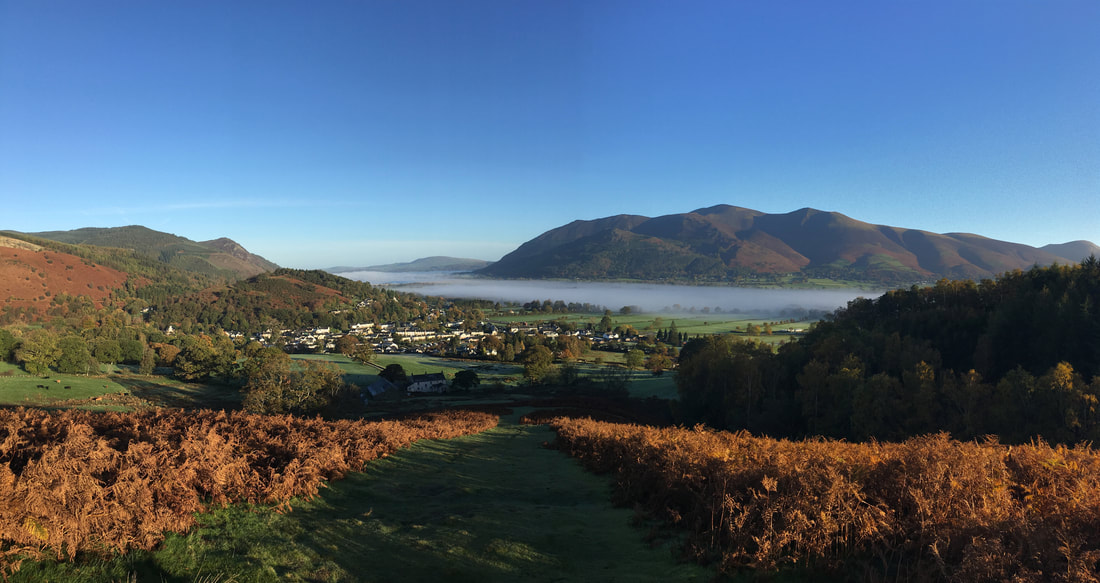
The lower part of the ascent to Barrow looking back to Bassenthwaite Lake which is under the cloud. Barf is to the left with Binsey centre and the Skiddaw range to the right.
Barrow may look a doddle but it is an excellent warm up, particularly the first part of the ascent. There is a dip in the ridge marked by a large cairn and to the left is a very faint path which comes over from the High Coledale area and crosses the ridge heading for the now disused Barrow Lead Mine. Wainwright describes Barrow as "the shivering mountain of Lakeland" due to the large amount of spoil on the Newlands face of the fell above Uzzicar. The debris is held back by a parapet and is in a constant yet very slight motion (Barrow 2).
The summit of Barrow looking to Causey Pike, Scar Crags, Sail, Crag Hill & Outerside
Looking down to Barrow Door with our path to Stile End rising away to the right. Grisedale Pike is the large fell to the right with Hobcarton Crag to its left.
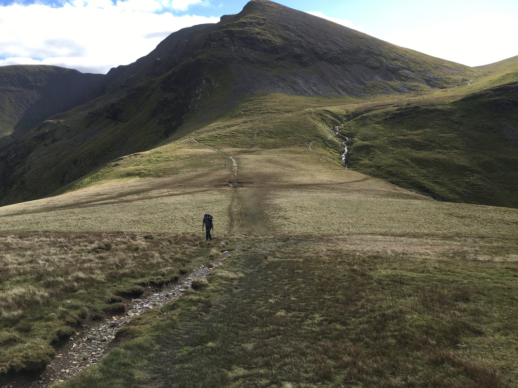
From Stile End the route drops into Low Moss were there is an option to skirt around Outerside to the left or head right and ascend the delightful ridge.
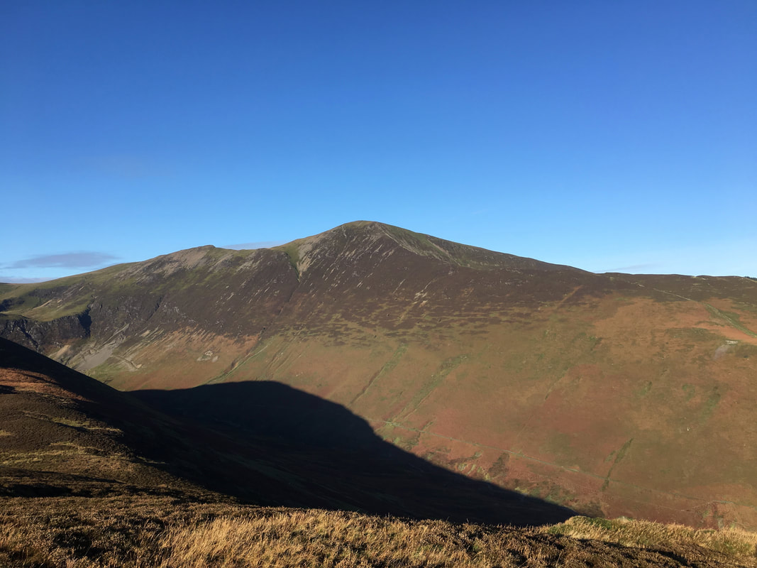
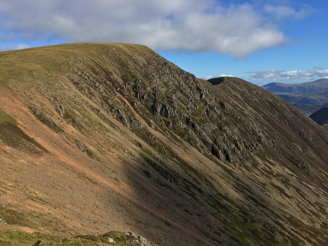
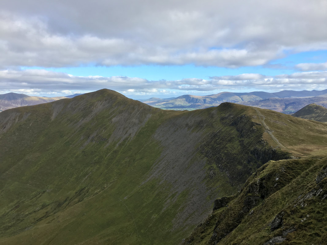
The view across Coledale to Sleet How on Grisedale Pike with Hobcarton Crag to the left
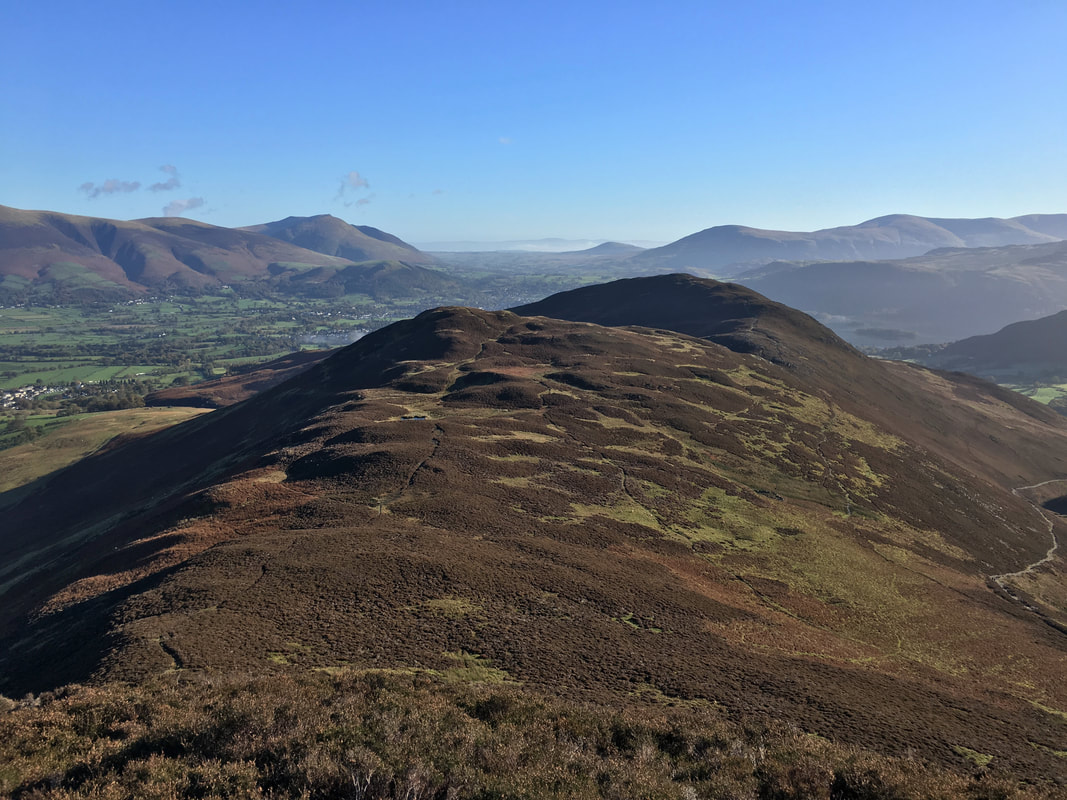
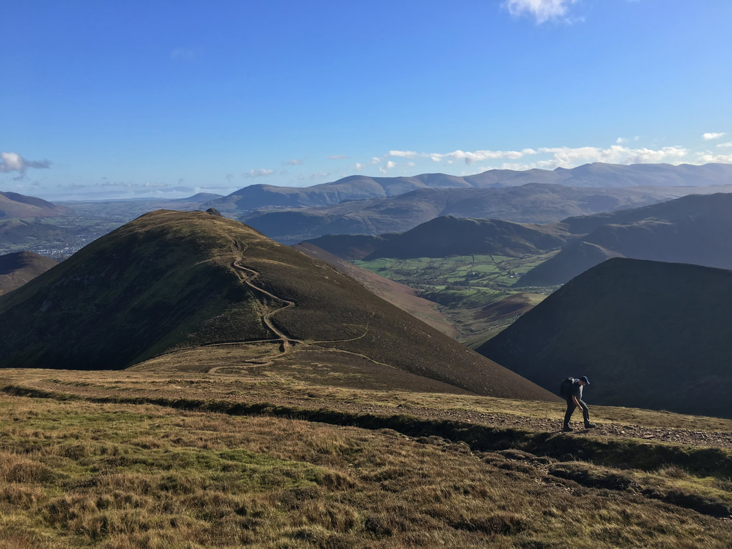
Stile End & Barrow from the ascent of Outerside. The slopes of Skiddaw are to the left with Latrigg & Blencathra whilst Great Mell Fell is middle distant and Clough Head & The Dodds to the right.
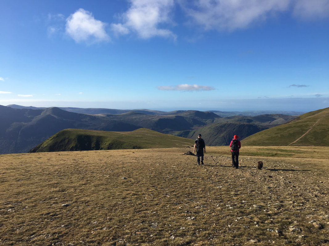
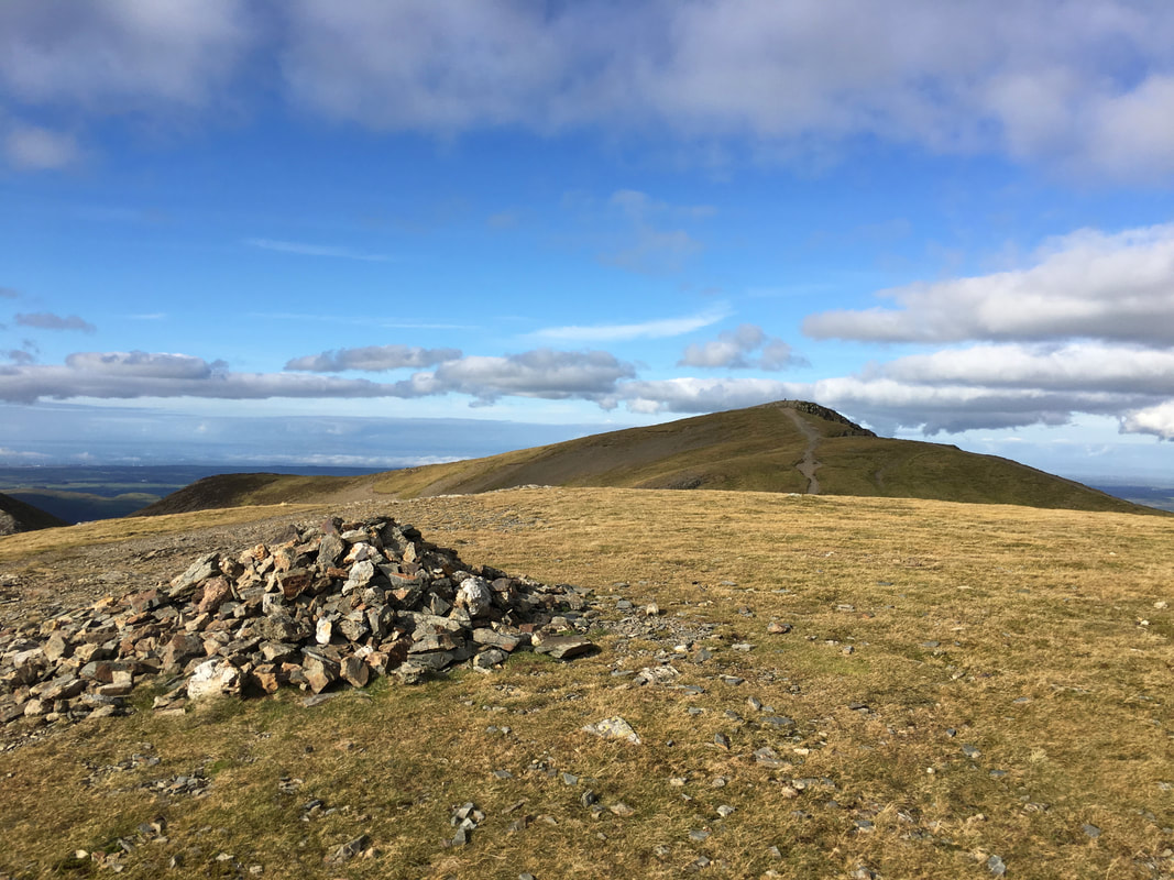
The summit of Outerside looking to Sail, Crag Hill & Eel Crag with Coledale Hause right of centre. Our path to the Sail Pass is to the left over High Moss.
Sail
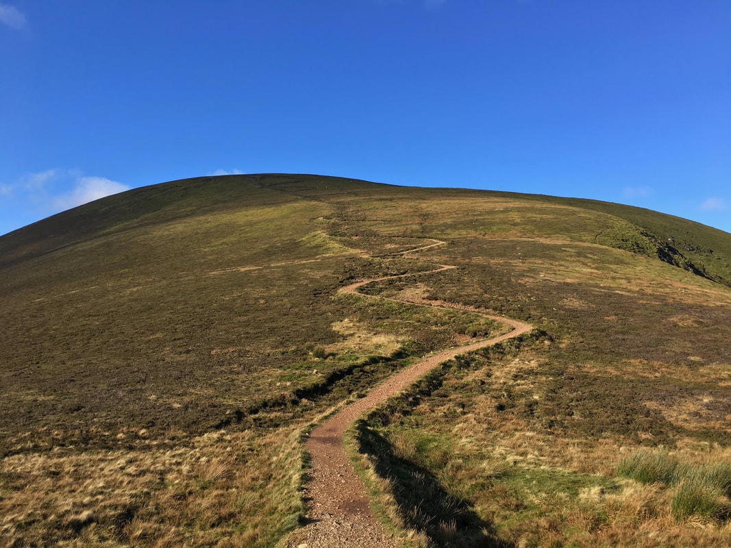
And so it begins - the zig zag path to Sail from the Sail Pass.
Andy heading up the zig zags towards Sail. The fell in the background is Scar Crags with the lump on the summit of Causey Pike just about visible.
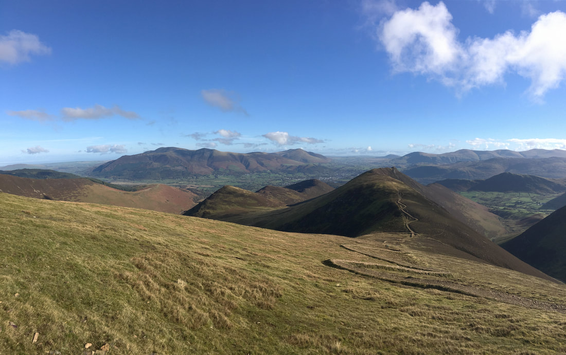
A superb panorama from the path to Sail
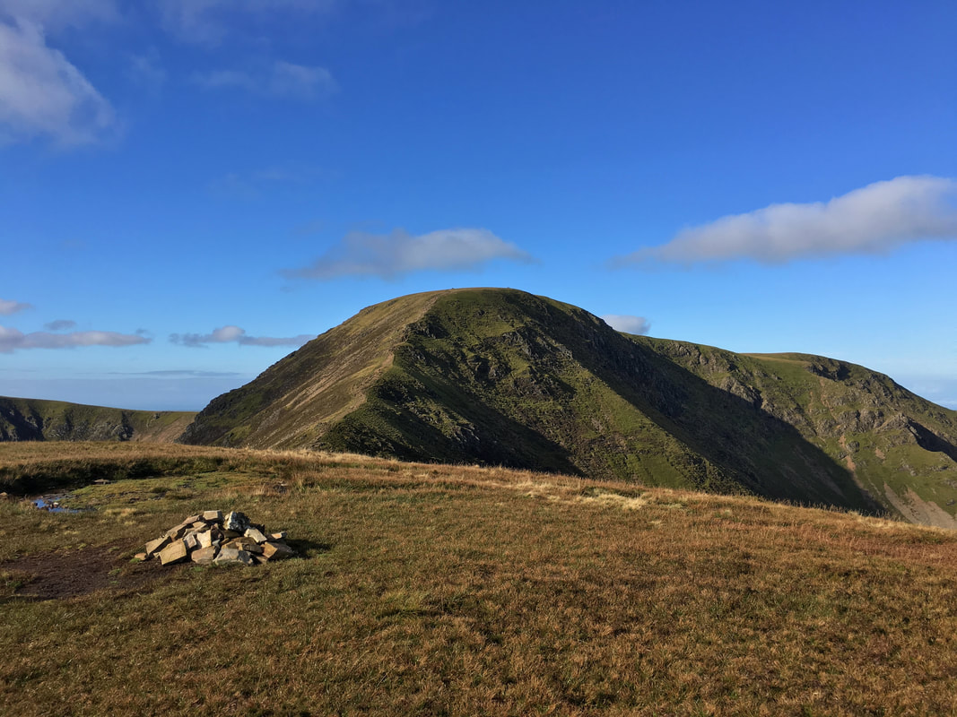
The summit of Sail looking to Crag Hill & Eel Crag with the slopes of Wandope to the left
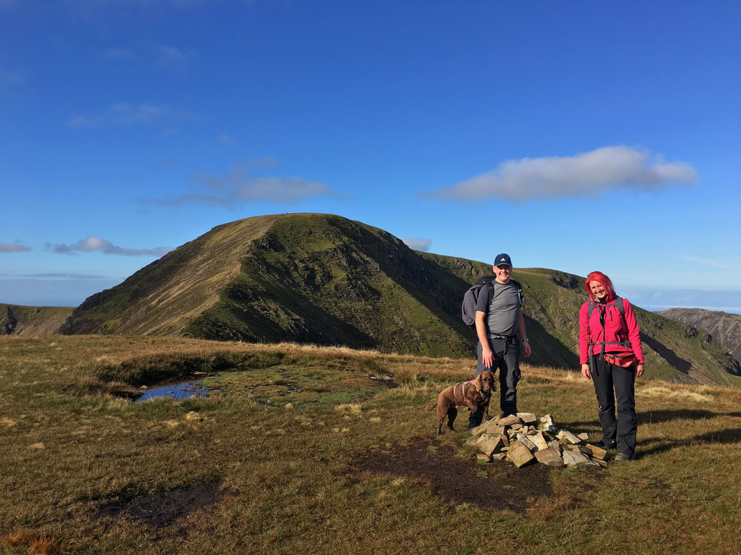
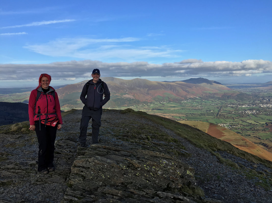
My walking companions on the summit of Sail
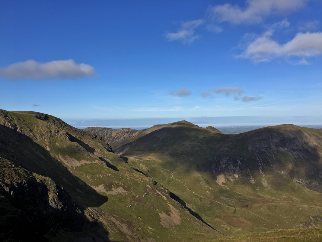
Looking into Coledale from the summit of Sail. Eel Crag is to the left with the ridge to Whiteside left of centre. Hopegill Head & Sand Hill are in the centre of shot with Ladyside Pike & Hobcarton Crag to the right. The path heading down from Coledale Hause leads back to Braithwaite via the Force Crag Mine road.
From Sail looking to Crag Hill with Wandope & Addacomb Hole to the left. The col between Sail & Crag Hill is known as The Scar.
Looking back to Sail from The Scar
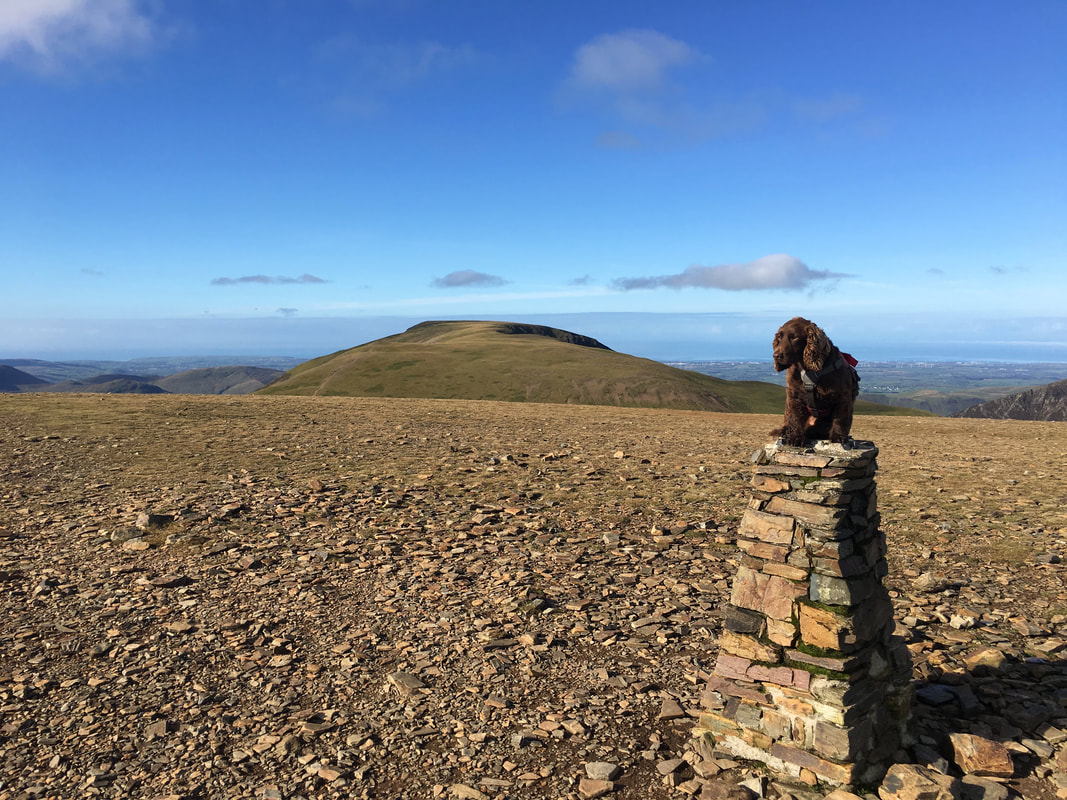
As is tradition - Fudge on the Trig Point which adorns the summit of Crag Hill - Grasmoor is to the rear. The Trig Point has had a chequered past and it was on its side a few years ago - thankfully it has been repaired.
Heading for Wandope with Thirdgill Head Man centre left. This transit gives a glorious view over to the Western Fells.
The sun hits the lens as we look to Wandope over Addacomb Hole
Crag Hill, The Scar & Sail over Addacomb Hole
The path to Grasmoor from below Wandope
The summit of Wandope
The path from Wandope to Thirdgill Head Man - it is worth the short transit over there for the views alone.
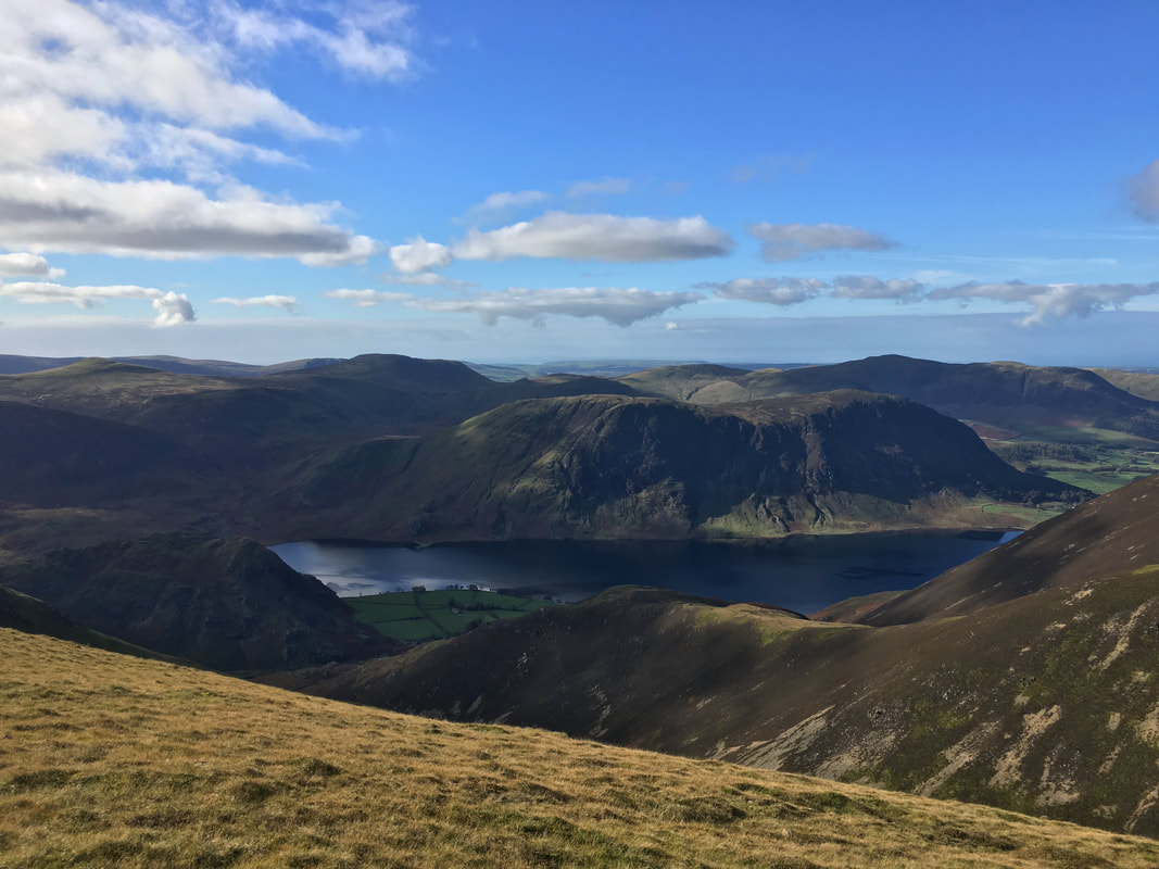
Mellbreak over Crummock Water from Thirdgill Head Man. Rannerdale Knotts is below left with the slopes of Lad Hows to the right.
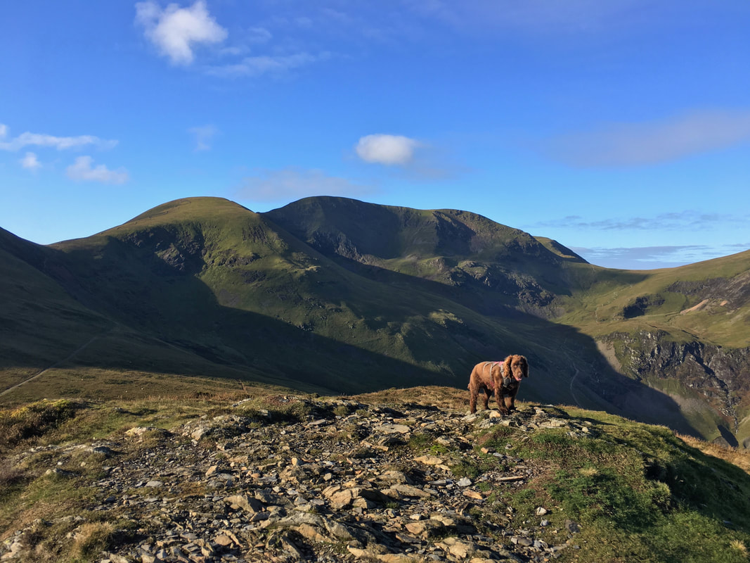
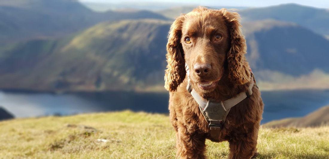
It was fair to say that Fudge was once again having a great day out
Grasmoor from Thirdgill Head Man
Looking down Whiteless Edge to Whiteless Pike from Thirdgill Head Man. This is a lovely transit but we had enough to do today.
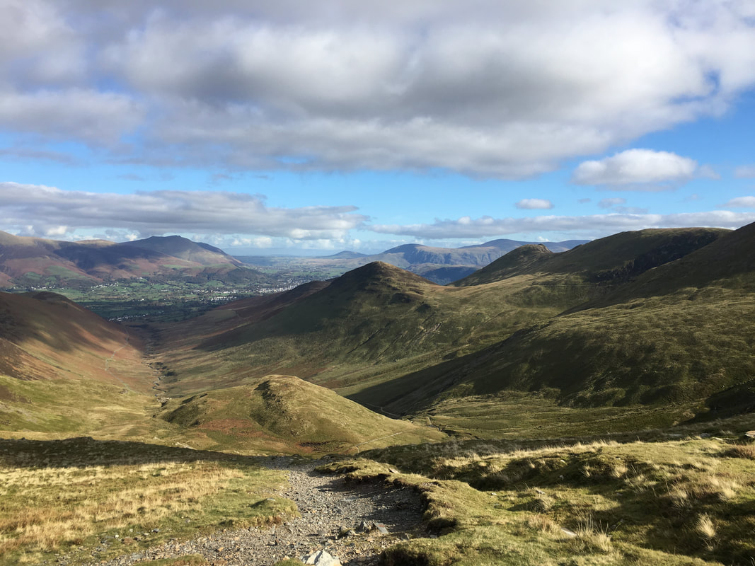
Coledale from the top of the Coledale Hause path - Outerside is in the centre of shot with the Force Crag Mine Road to the left.
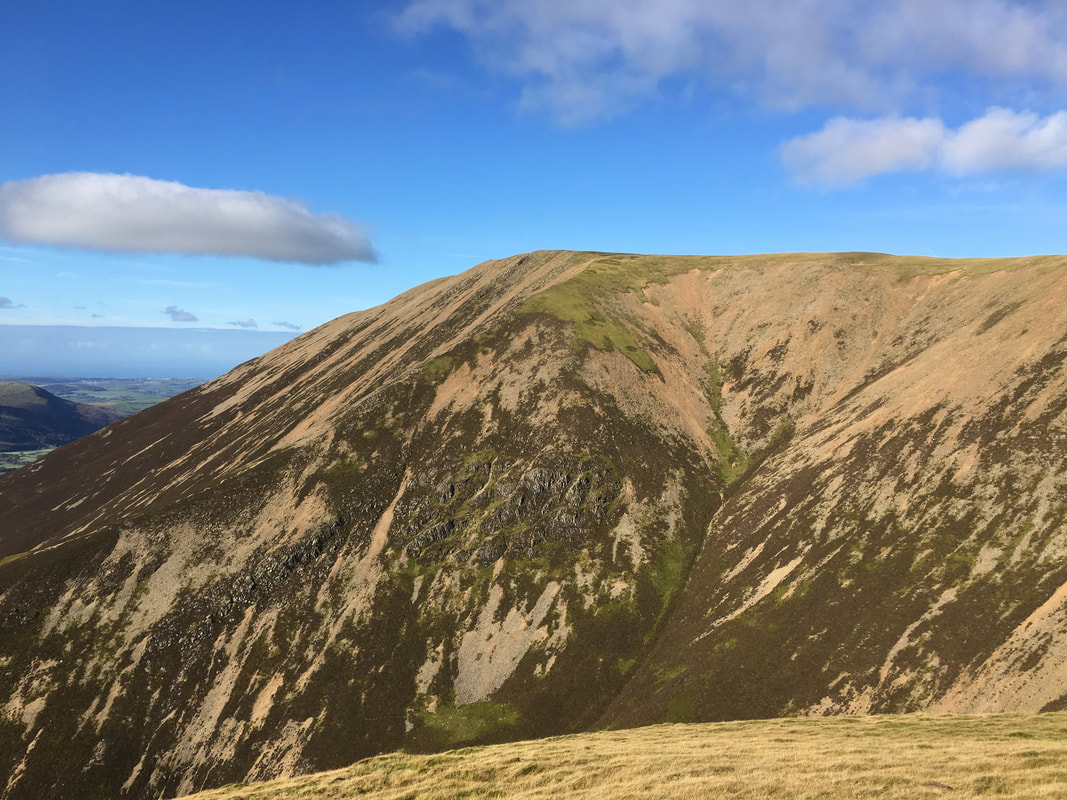
Coledale Hause & Eel Crag from the steep ascent of Sand Hill
The summit of Sand Hill looking to Hopegill Head
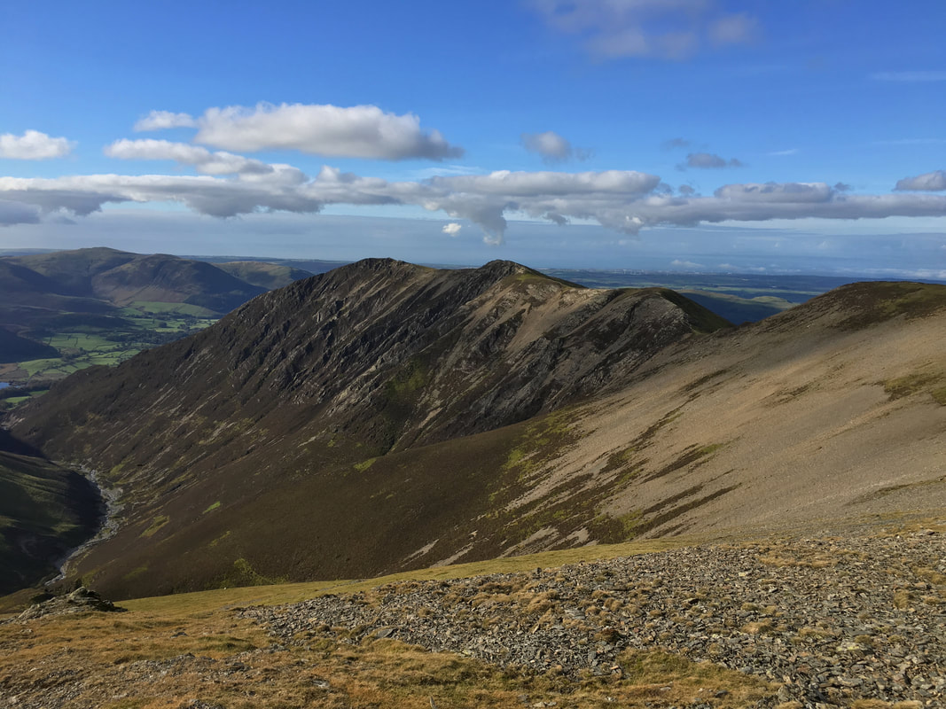
Whiteside from Sand Hill with Gasgale Gill to the left. From Hopegill Head we would be doing an out & back across this magnificent ridge.
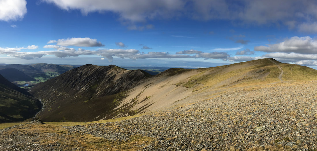
A panorama from Sand Hill looking to Whiteside & Hopegill Head
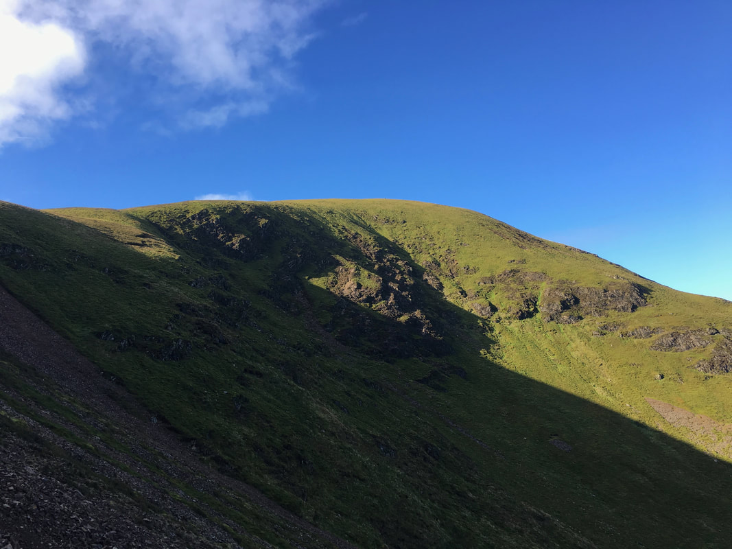
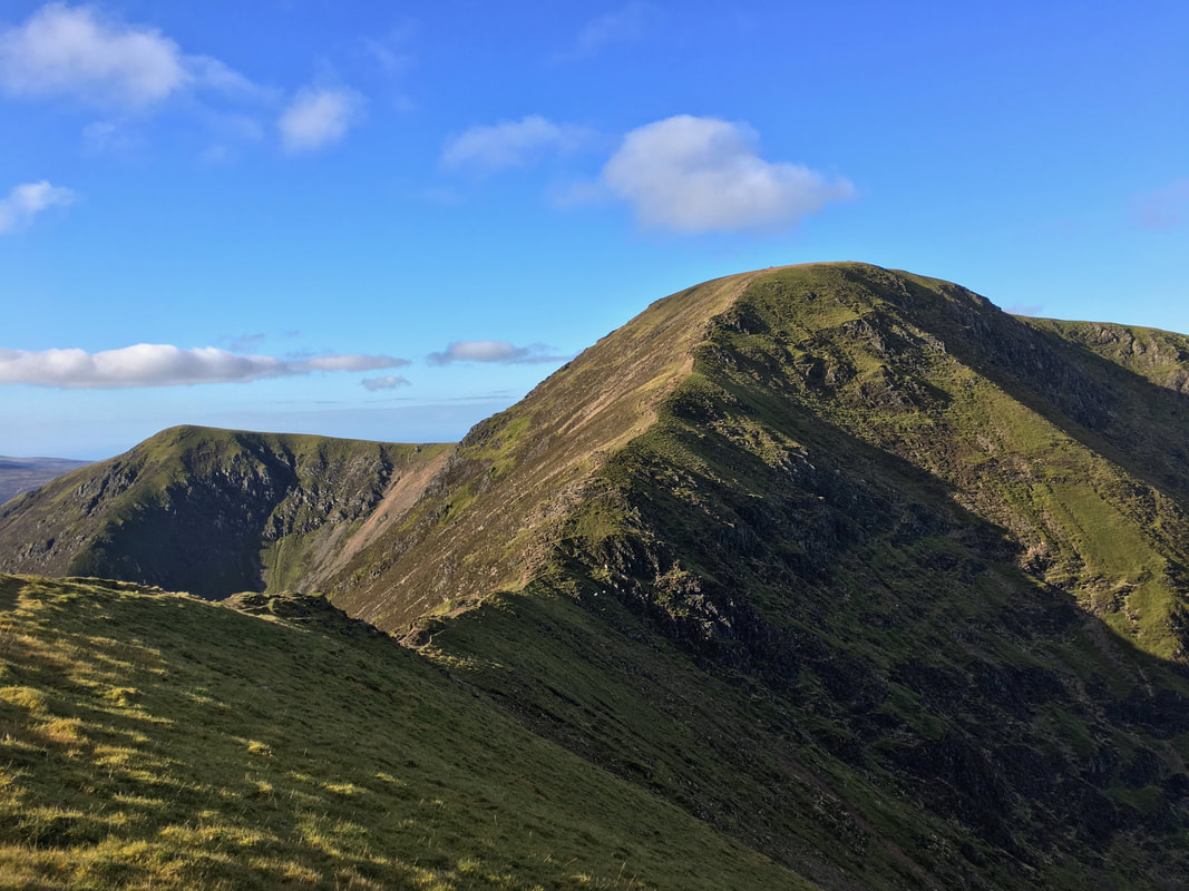
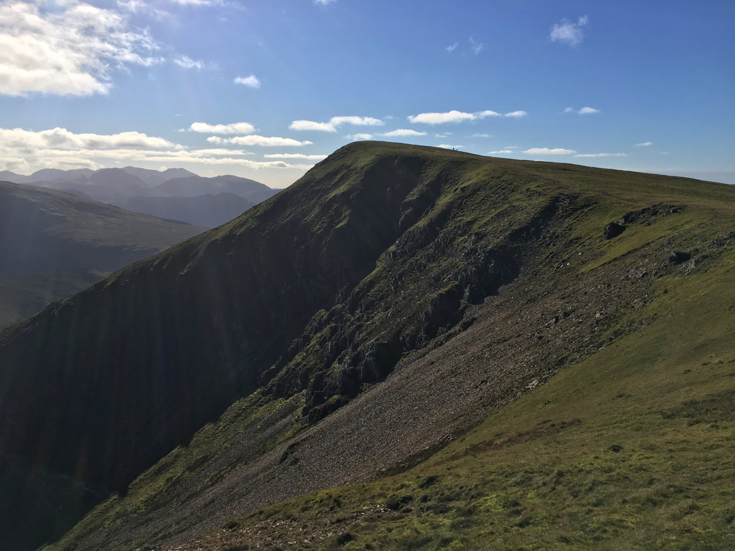
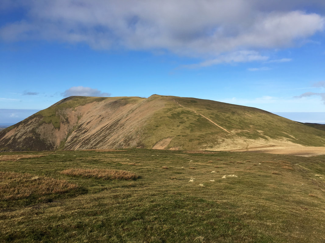
Grisedale Pike & Hobcarton Crag from just below Hopegill Head
Ladyside Pike from the summit of Hopegill Head. If time permits then this is another superb out & back.
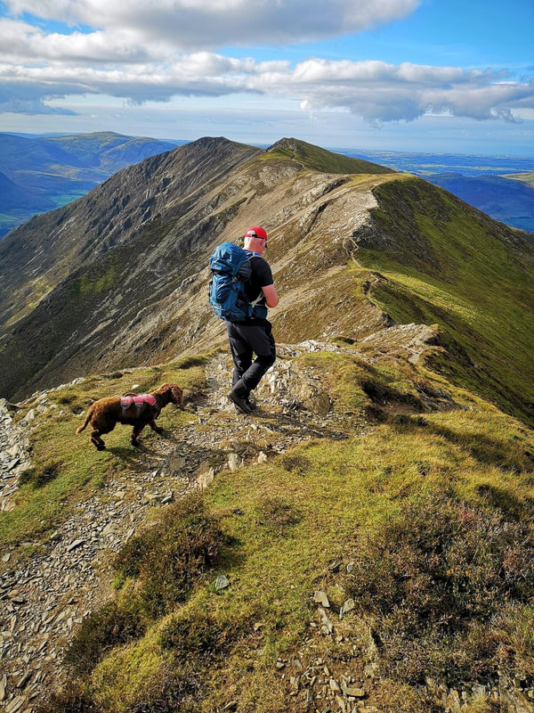
Fudge and I leaving Hopegill Head for Whiteside
(Photo courtesy of Andy McGuirk)
(Photo courtesy of Andy McGuirk)
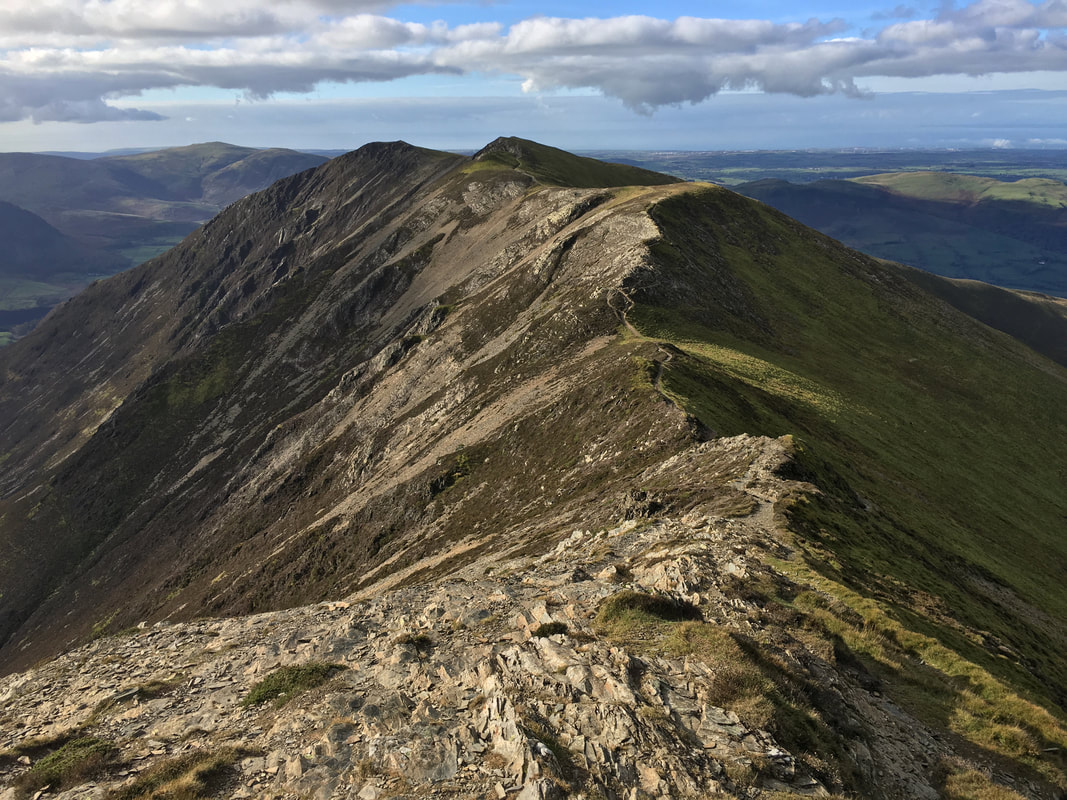
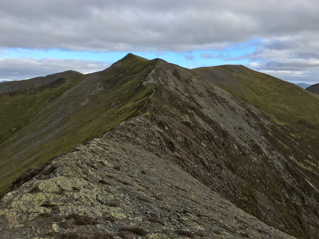
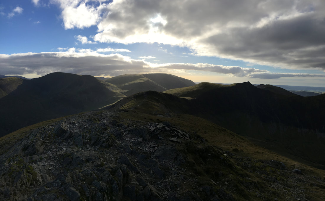
In my view this is one of the finest ridge walks in Lakeland - Hopegill Head to Whiteside.
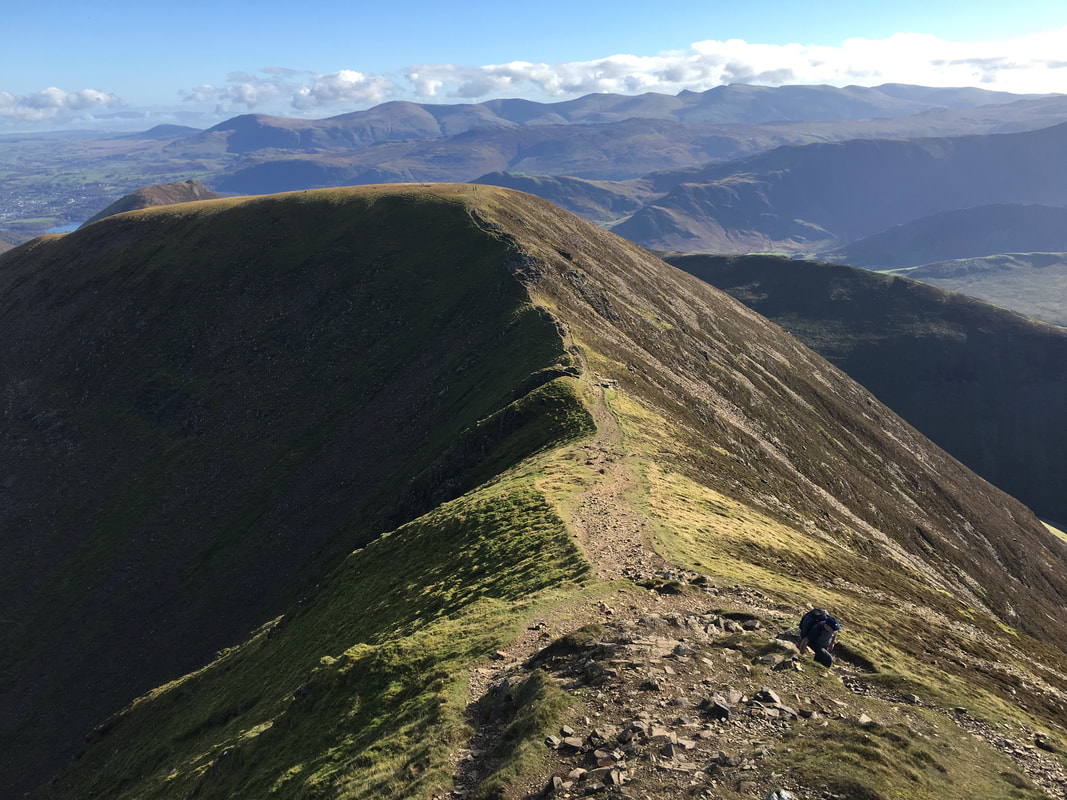
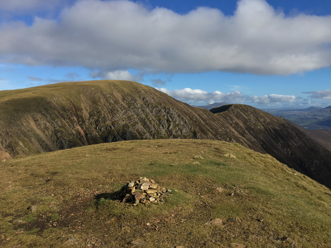
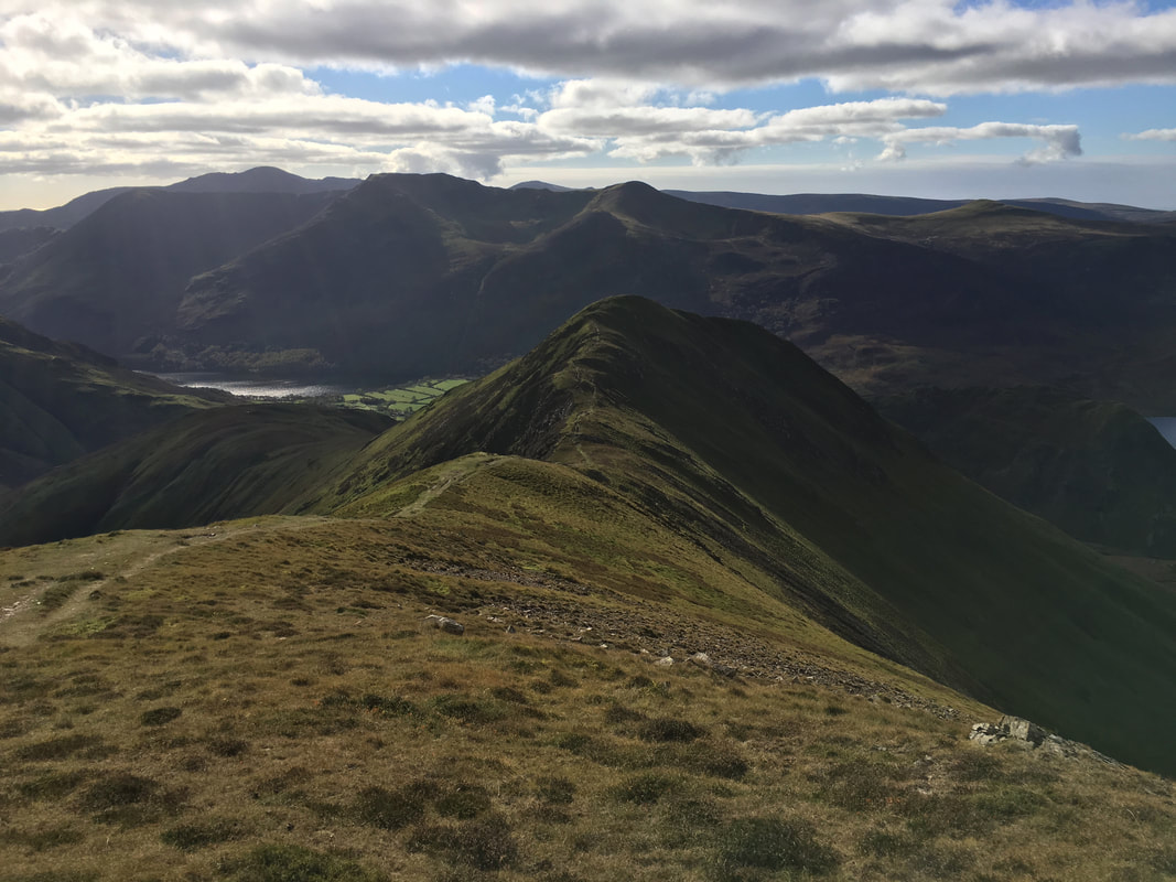
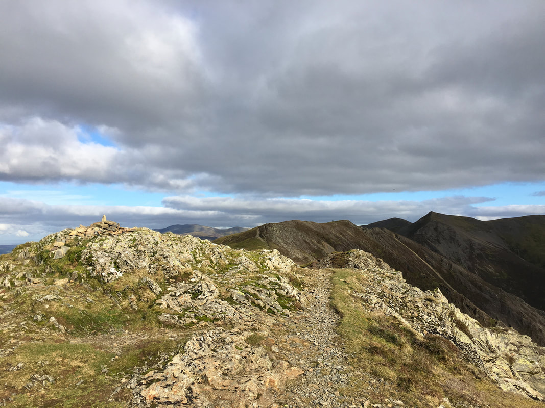
Looking back along the ridge to Hopegill Head from the summit of Whiteside
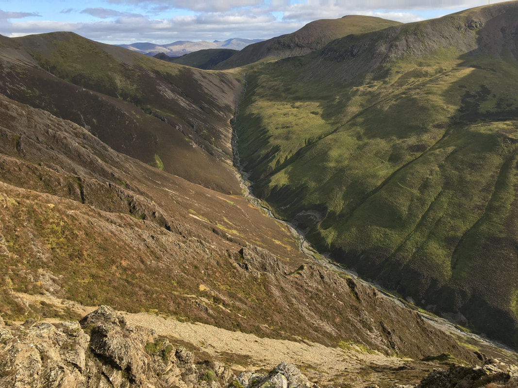
Gasgale Gill & Coledale Hause
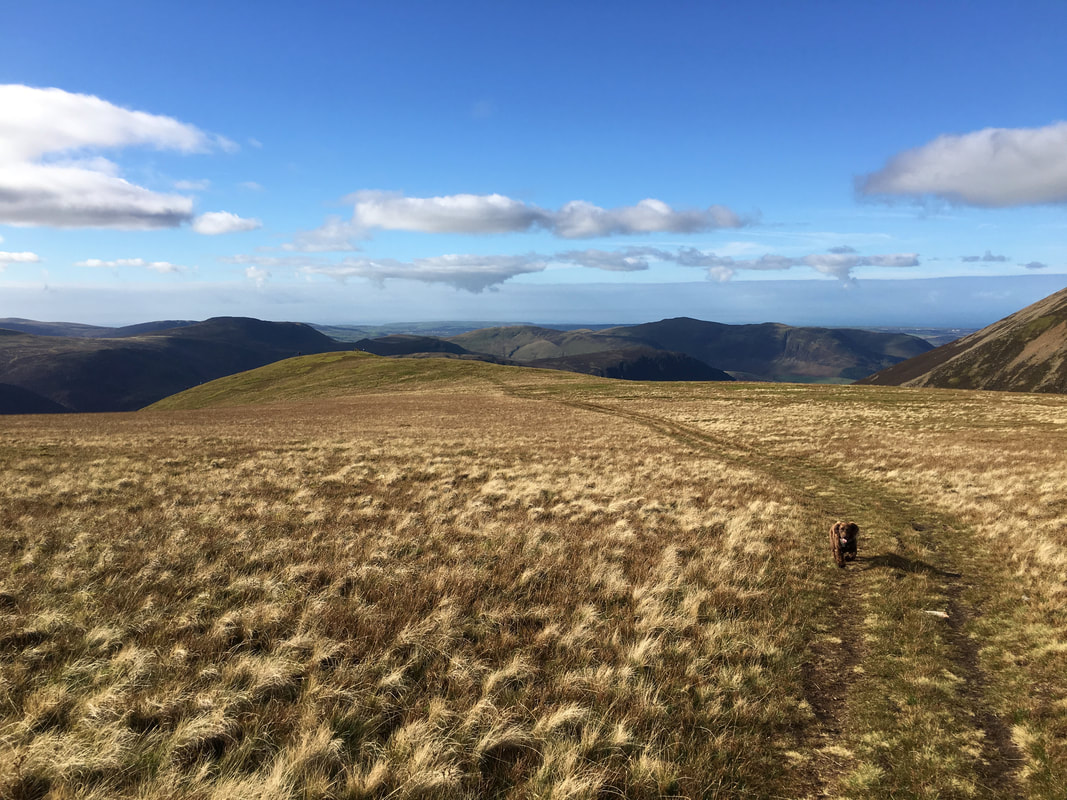
By this time the weather had started to cloud over intermittently as we head back to Hopegill Head along the ridge from Whiteside
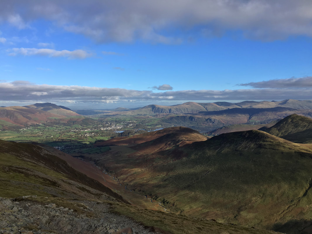
Blencathra, Keswick, Clough Head, The Dodds & the Helvellyn Range from Grisedale Pike
Moody skies from the summit of Grisedale Pike
After a long day it was good to see Andy & Amber still smiling as we prepare to leave Grisedale Pike for the long transit back to Braithwaite
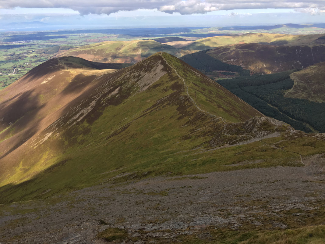
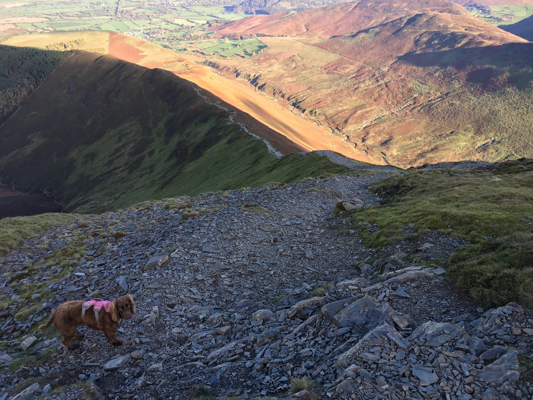
Descending Sleet How from Grisedale Pike with Kinn below
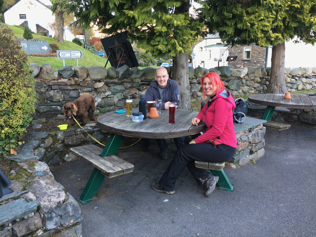
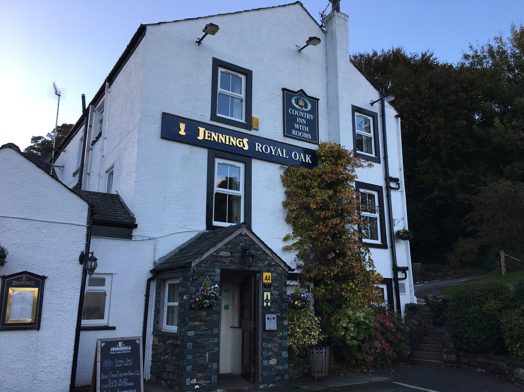
Debrief in The Royal Oak in Braithwaite - and well deserved it was too. No need to pull tongues at me Fudge!
Another cracking Lakeland Pub - Braithwaite has two, the other being the Coledale Inn just around the corner.
