Stac Pollaidh - Sunday 24 April 2022
Route
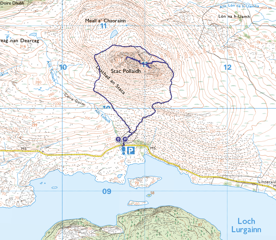
Inverpolly Car Park - Stac Pollaidh - Leathad an Staca - Inverpolly Car Park
Parking
Inverpolly Nature Reserve Car Park on the shores of Loch Lurgainn (Free) - Grid Reference is NC 107095. The nearest postcode is IV26 2XY which will deliver you about a mile east of the Car Park - just continue along the road. Further instructions are as follows:
Head northwards on the A835 from Ullapool. After ten miles or so, there is a left turning, signposted to Achiltibuie and the Summer Isles. The narrow road meanders along the side of Loch Lurgainn, beneath towering Cul Beag and Stac Pollaidh. The small Inverpolly Nature Reserve car park is on the left hand side of the road.
Mileage
3.6 miles
Terrain
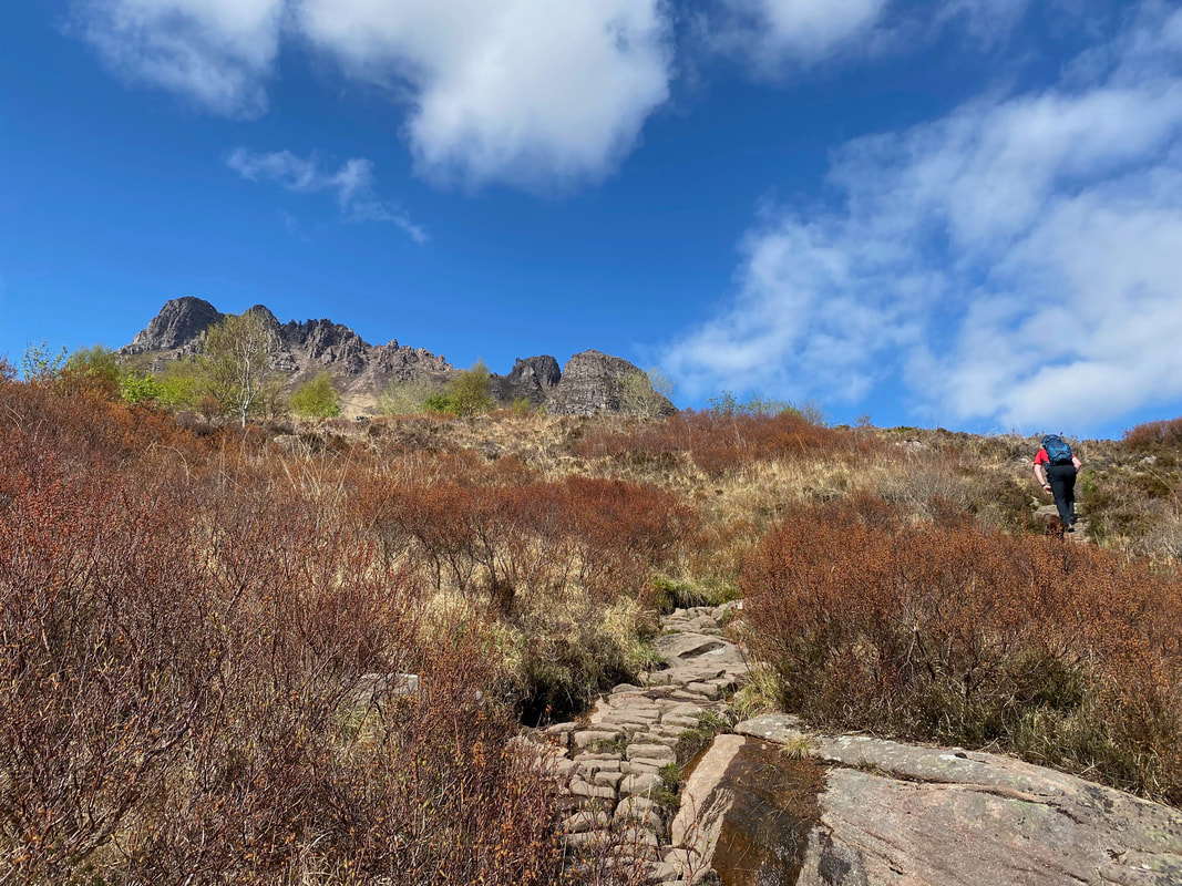
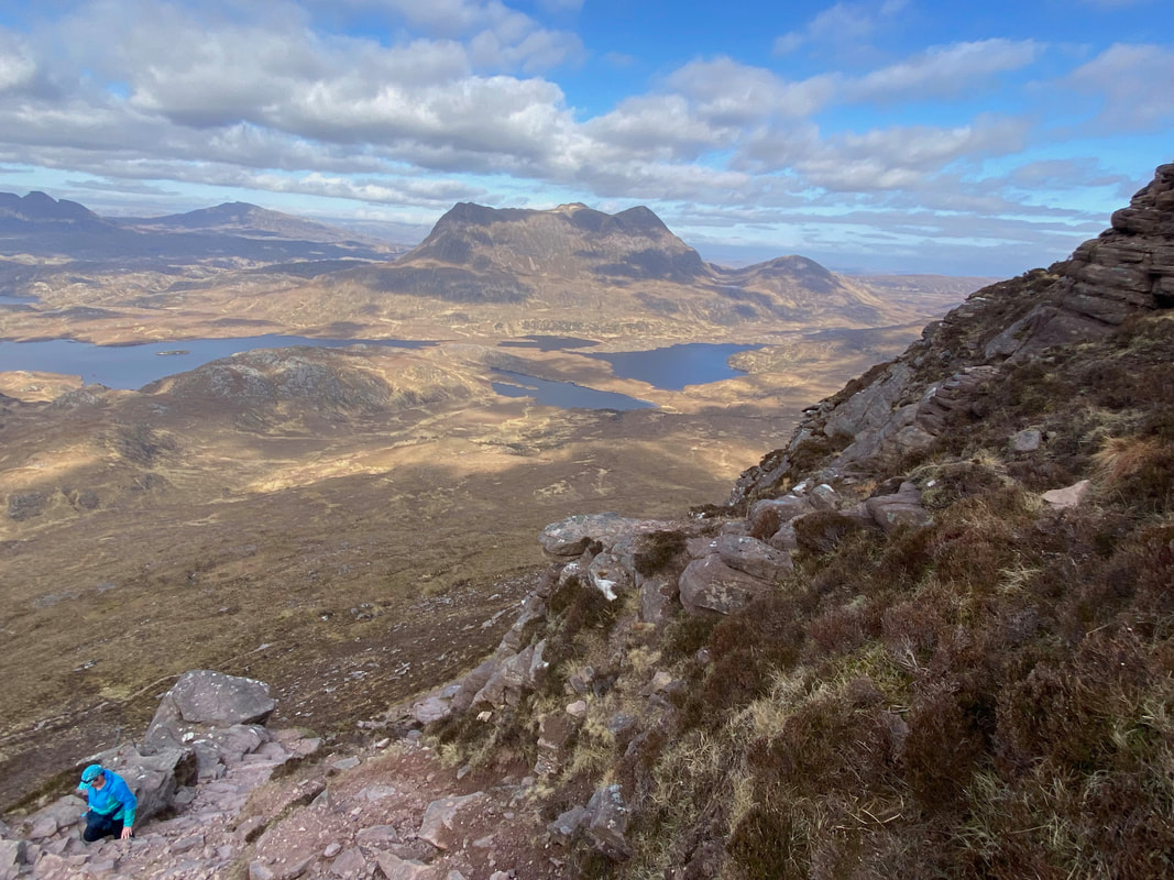
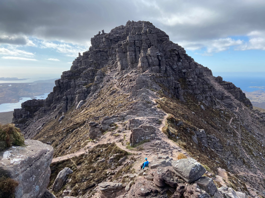
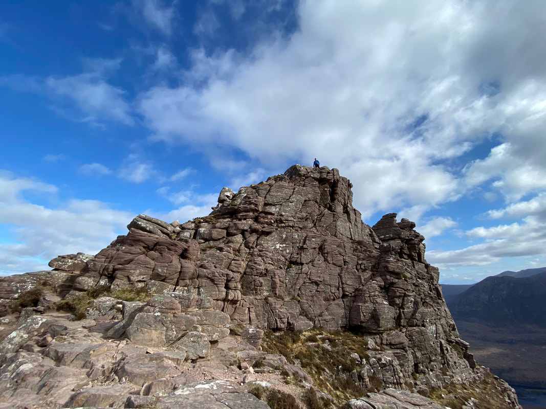
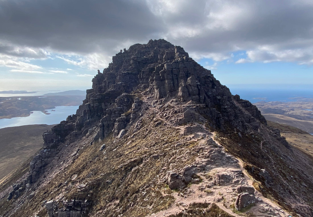
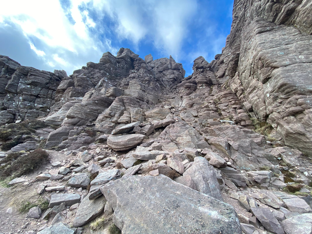
There is a clearly defined path all the way up as far as the bealach linking the eastern and western summits of Stac Pollaidh. From the bealach the eastern summit is reached via a short and easy scramble. However, the path across the ridge to reach the crux just before the climb to the true western summit is intermittent and involves some steep but not overly technical sections of scrambling. It should be noted that the climb from the crux to gain the true western summit is a technical scramble and requires a high level of scrambling expertise and therefore should only be attempted by the experienced and only then in good conditions. If the wind is blowing strongly and the rock is wet or icy then in my opinion you should leave the true summit well alone.
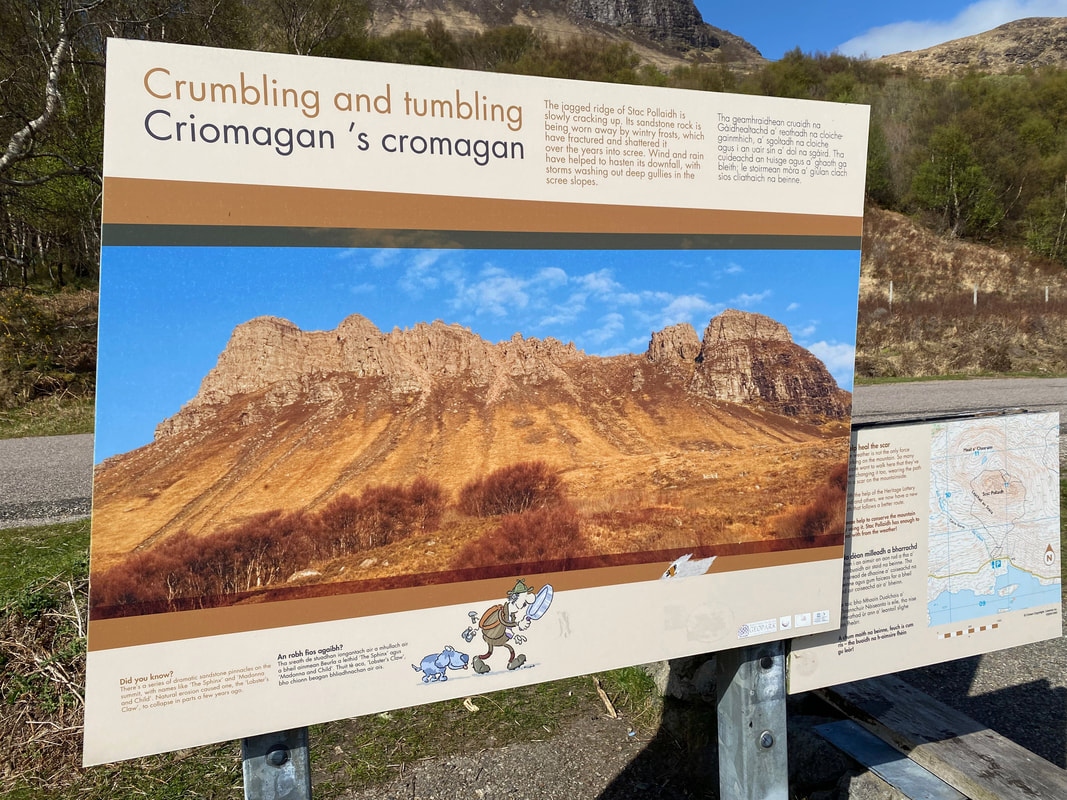
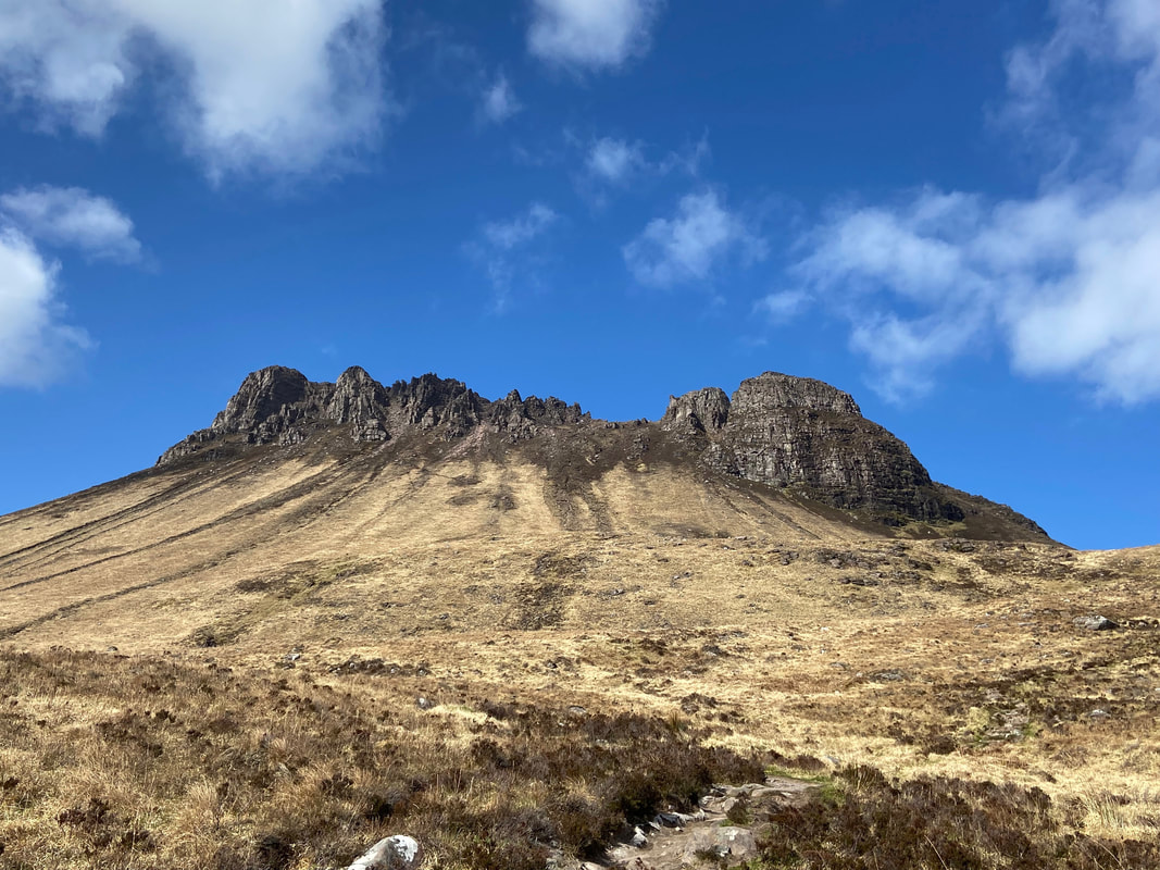
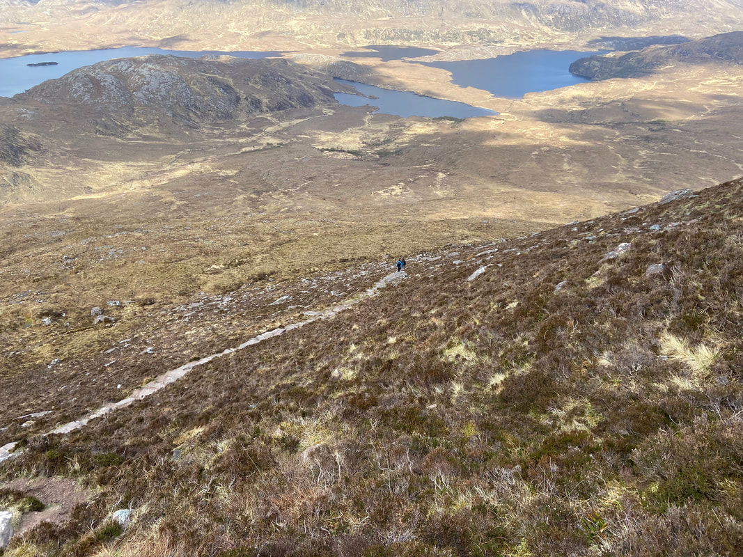
As seen in picture 2 below, Stac Pollaidh is eroding therefore please keep to the paths to reach the saddle between the eastern and western summits.
Weather
Sunny at first turning overcast early evening. Calm conditions until the final ascent to the crux when the wind picked up markedly.
Time Taken
3hrs
Total Ascent
1971ft (601m)
Map
OS Explorer 439 Coigach & Summer Isles
Walkers
Dave, Angie & Fudge
|
GPX File
|
| ||
If the above GPX file fails to download or presents itself as an XML file once downloaded then please feel free to contact me and I will send you the GPX file via e-mail.
Route Map
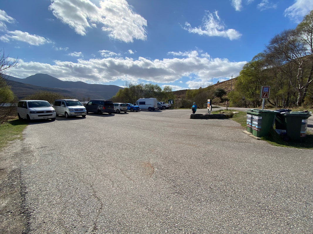
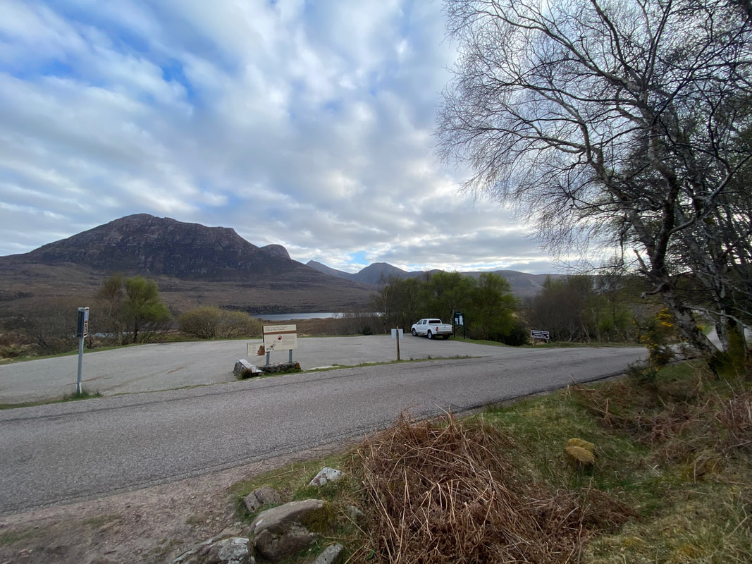
The free Car Park at Inverpolly Nature Reserve on the shores of Loch Lurgainn. This was our second walk of the day having walked the Bone Caves near Inchnadamph earlier on this morning.
Both a warning and a geology lesson. The mountain is comprised of Torridonian Sandstone and is cracking up - literally.
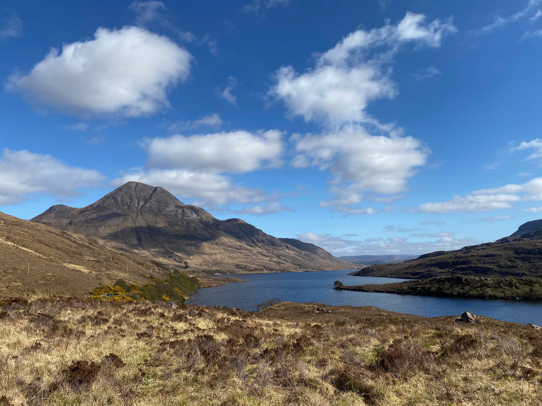
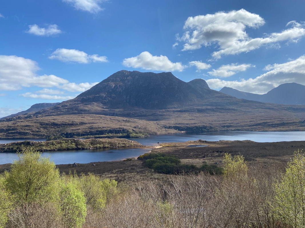
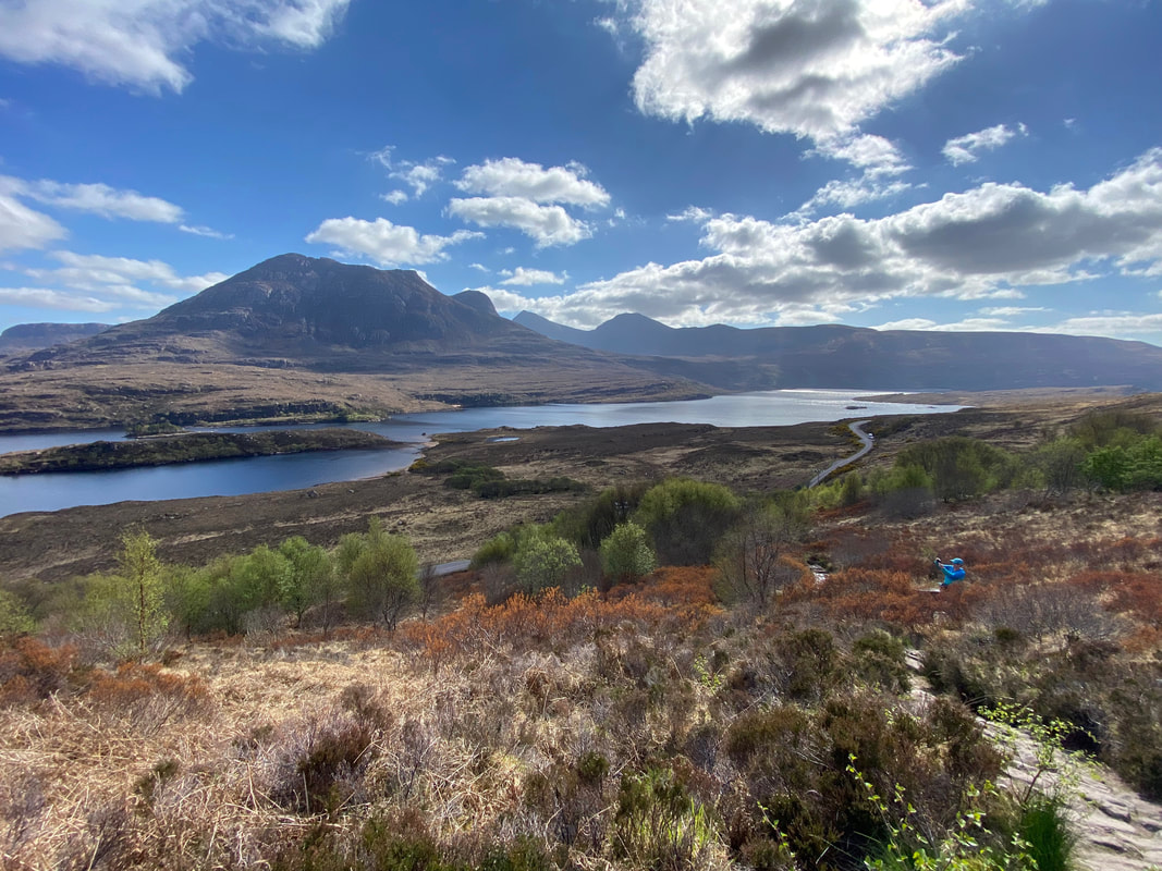
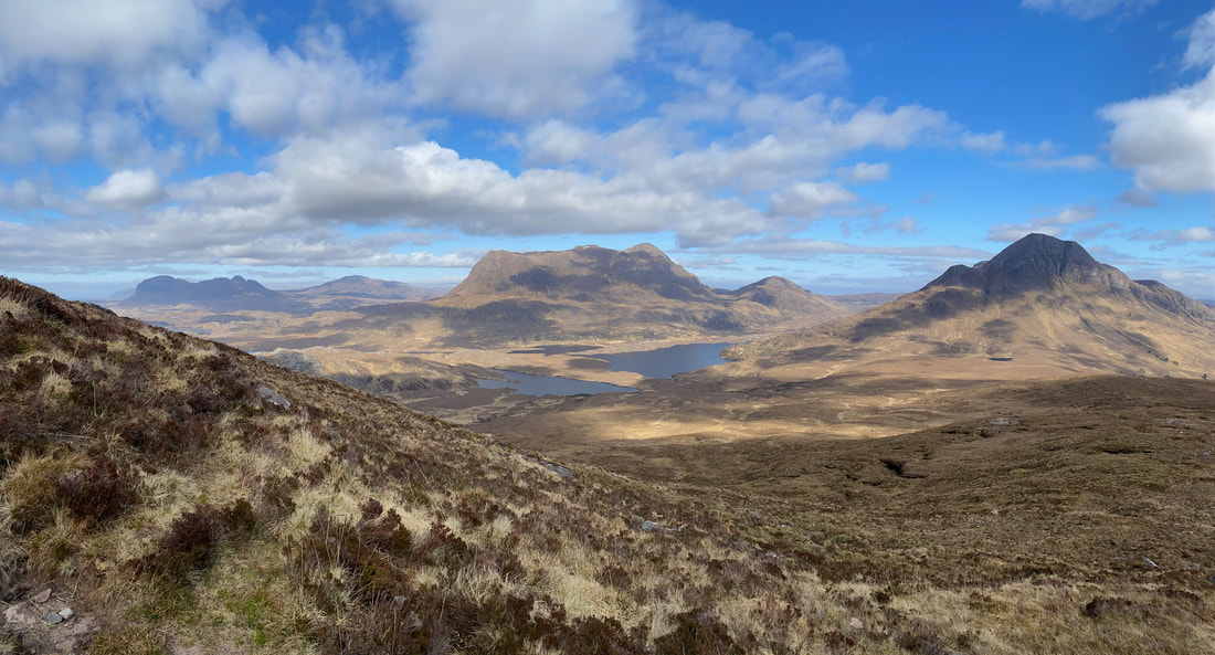
The glorious view to Cul Beag across Loch Lurgainn
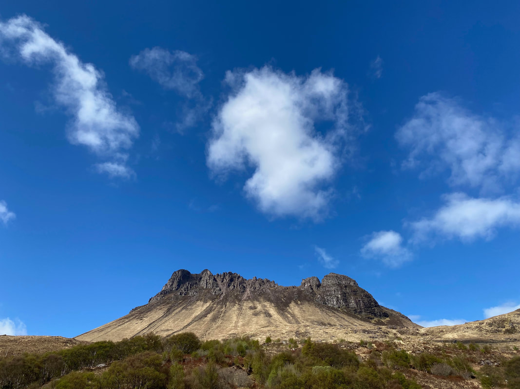
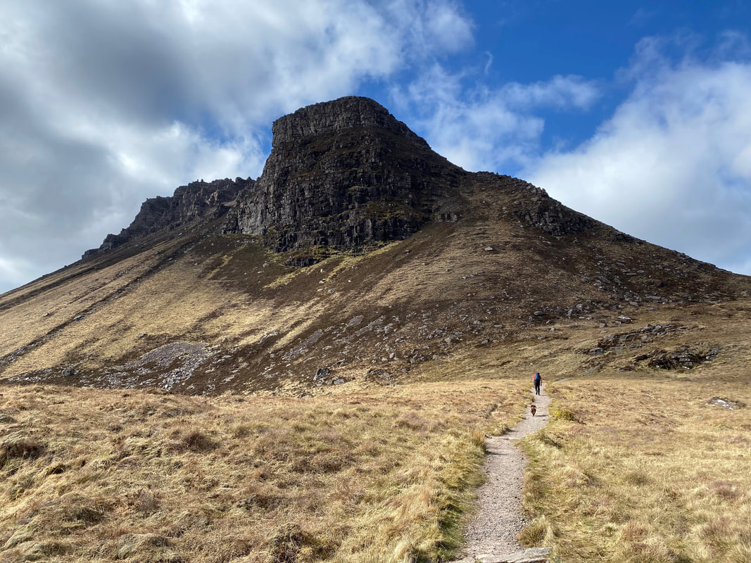
Stac Pollaidh from the Car Park. The name of the mountain translates from the Gaelic as "The steep rock of the pool"
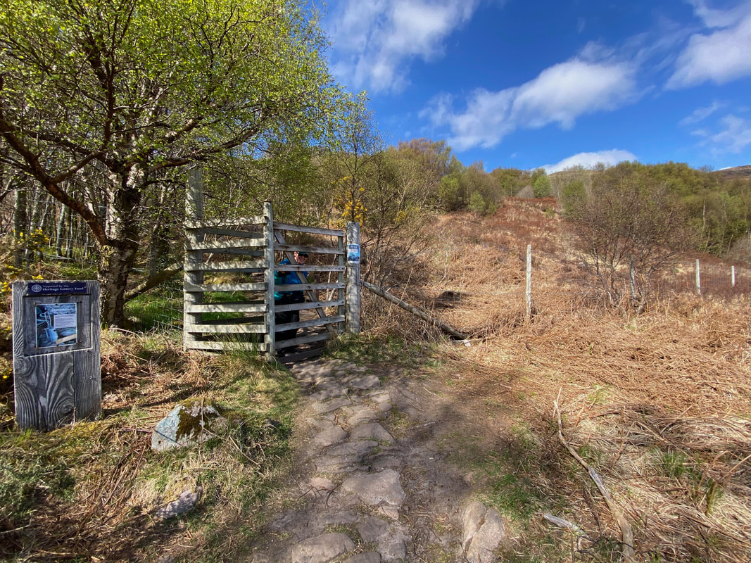
From the Car Park the start of the route is reached by crossing the road and heading through a deer gate
Sgurr Tuath and the Coigach Mountains across Loch Lurgainn
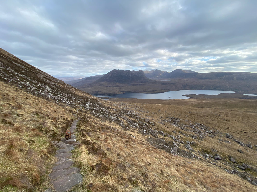
200 yards from the deer gate the path reaches a fork where the outward route and return route meet - if climbing up to the ridge then take the right fork which continues heading north east. The path splits at Grid Reference NC 10842 09694.
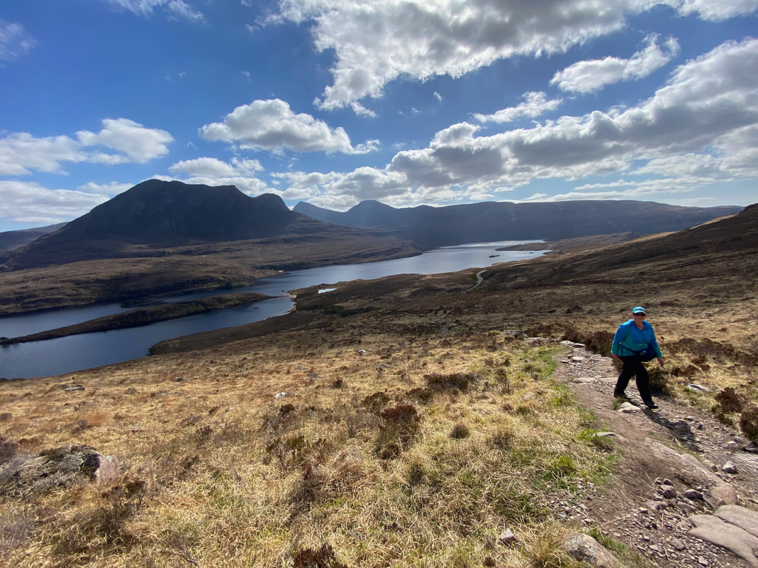
Another fine view of the Coigach Mountain range as we make our ascent. Despite looking as though she is taking a photograph, Angie is checking the validity of a Scottish Tenner she was given at the General Store in Lochinver.
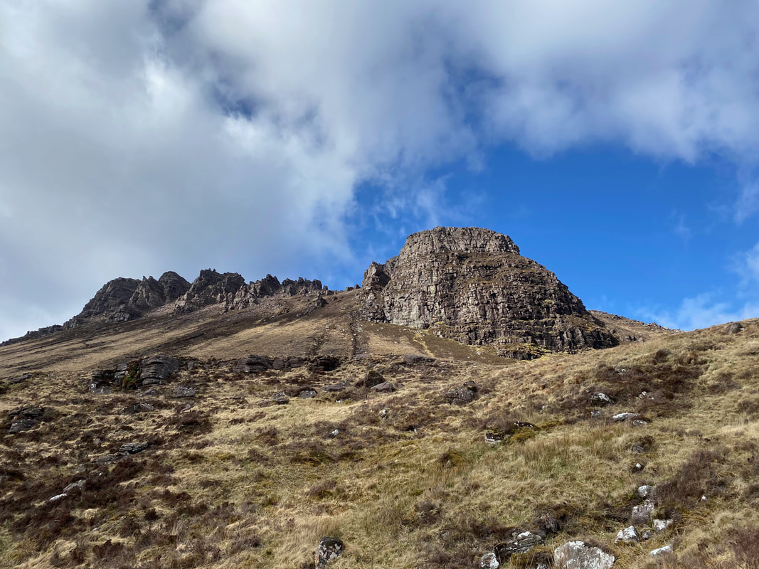
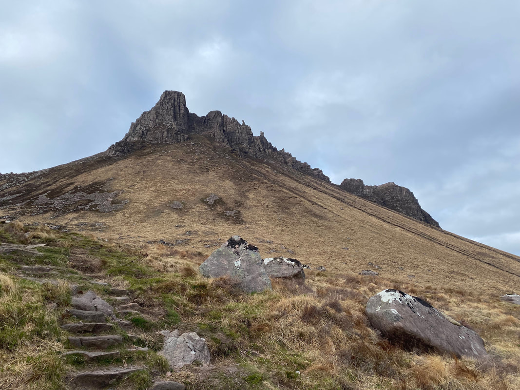
A closer view of Stac Pollaidh from the access path which heads to the right
We had deliberately left it until late in the day to climb Stac Pollaidh and it felt like we had the mountain to ourselves. In total we only saw 2 other people on the mountain all day.
Continuing along the path to Stac Pollaidh. Instead of heading straight up to the bealach in the centre of shot, the path heads around the back of the mountain to the right.
Fudge and I heading along the path to Stac Pollaidh with its eastern summit above
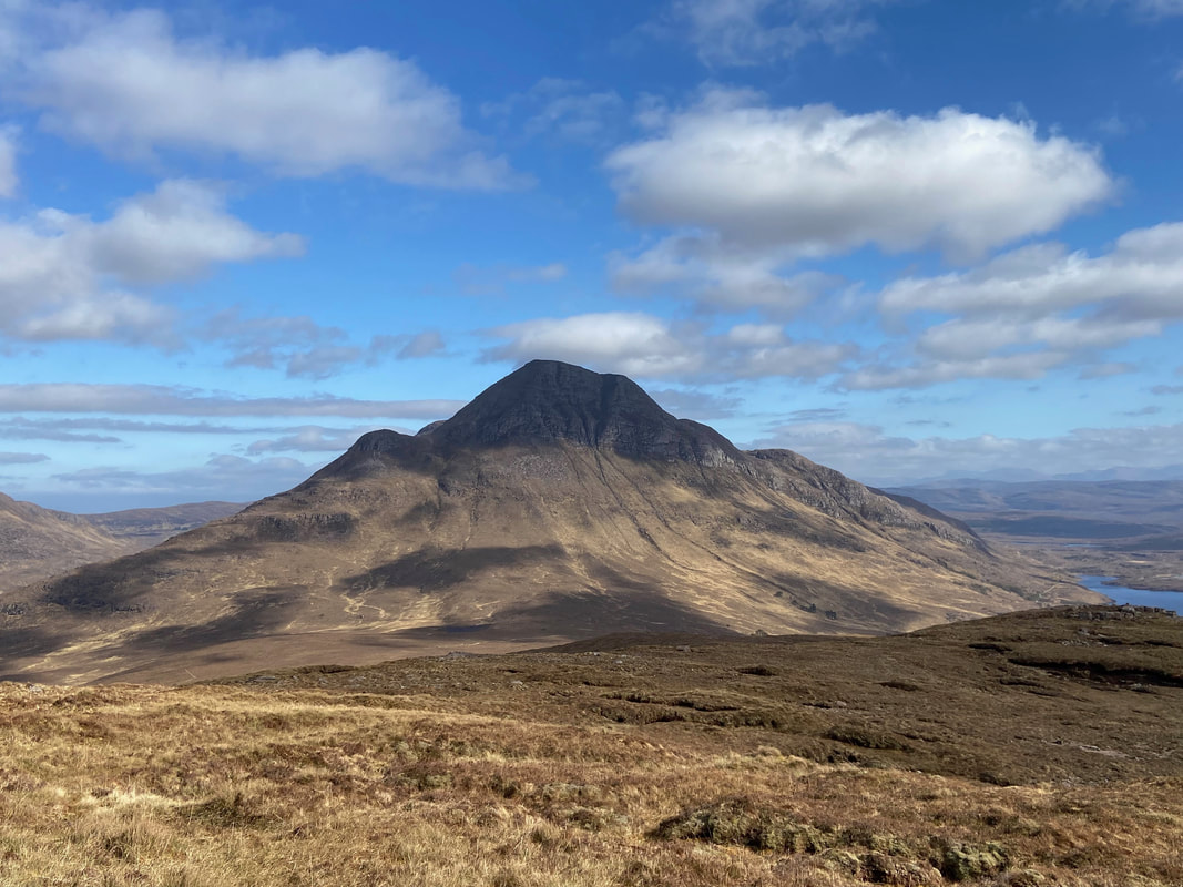
Another superb view of Cul Beag
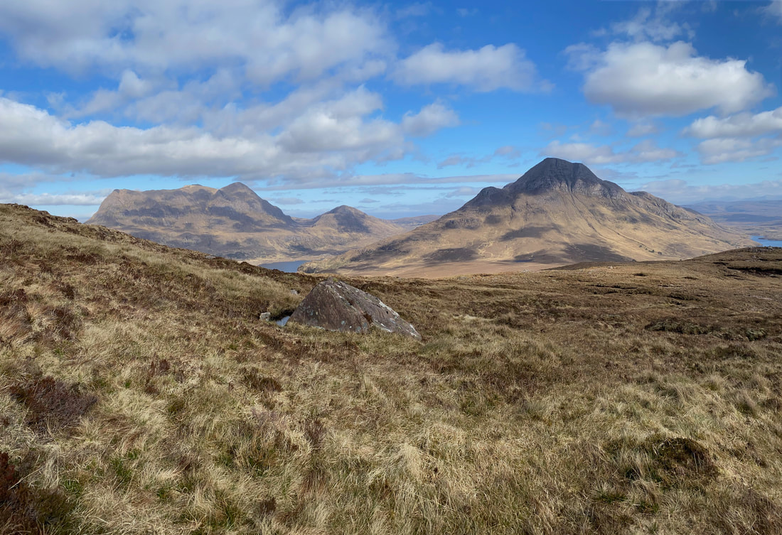
A wider panorama to the east looking to Cul Mor, Meallan Diomhain & Cul Beag
Rounding the eastern side of Stac Pollaidh we get a closer look at Cul Mor
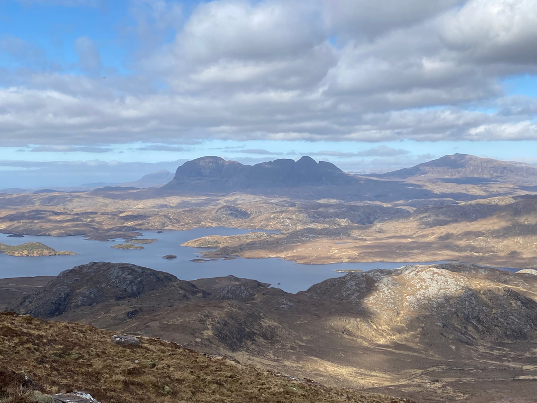
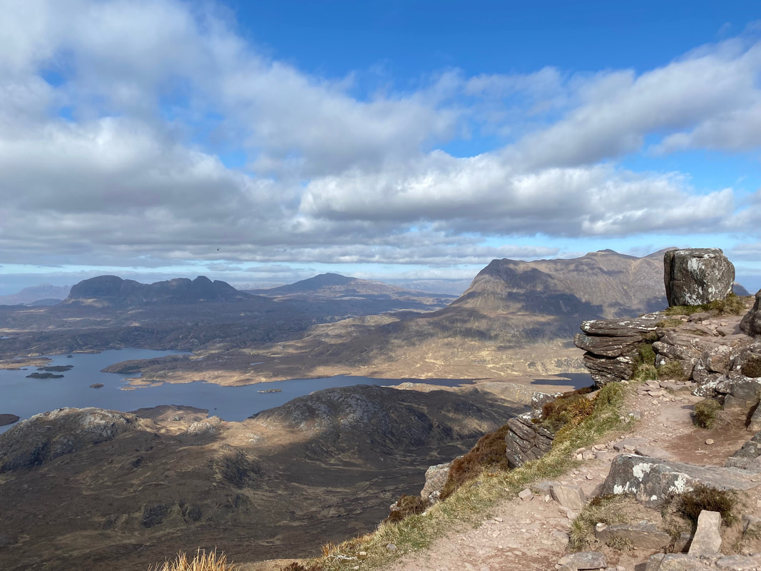
An even wider panorama with beautiful Suilven coming into view on the left with Canisp distant. A blog of our fantastic day out climbing Suilven can be found here
A closer view of Suilven and Canisp - the body of water is Loch Sionasgaig
At Grid Reference NC 11272 10535 (seen below left) is the point at which the lower path is left in order to make the ascent of Stac Pollaidh. Below us are the only two other walkers we saw on the mountain. We would return this way and at the junction below turn left thus making a complete circuit of the mountain.
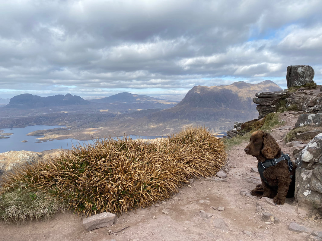
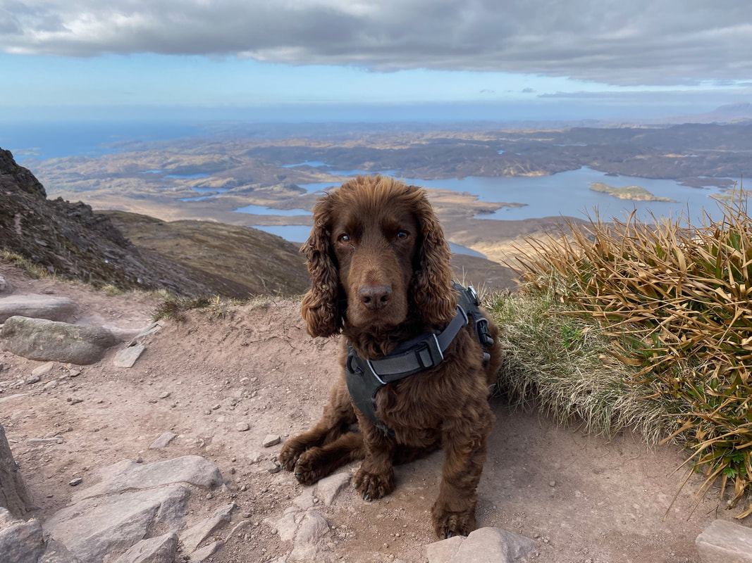
Fudge at the top of the climb having reached the bealach. It was nearing his tea time hence the quizzical look.
Angie making her final approach to the bealach - and what a view
Reaching the bealach it was just a short scramble to reach Stac Pollaidh's eastern summit
The view west from the bealach over to the Summer Isles
The Coigach range of mountains from the bealach
Angie down at the bealach as Fudge & I make our ascent of the eastern summit - she would join us shortly. Ahead is my onward route over the ridge to the western summit.
Up on the eastern summit of Stac Pollaidh
The view north east from the eastern summit over to Suilven, Canisp & Cul Mor
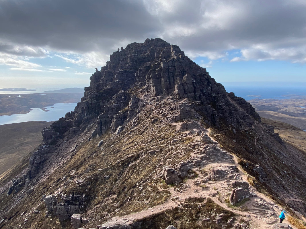
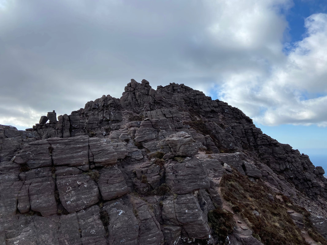
A closer look at the path over to the western summit from the bealach. Once we had dropped down from the eastern summit back to the bealach I would leave Angie & Fudge here and make my way over to the western top. Whilst the path can be clearly seen ahead it runs out leaving the walker to pick out a route in order to negotiate a way through the shattered rocks & pinnacles.
The eastern summit of Stac Pollaidh
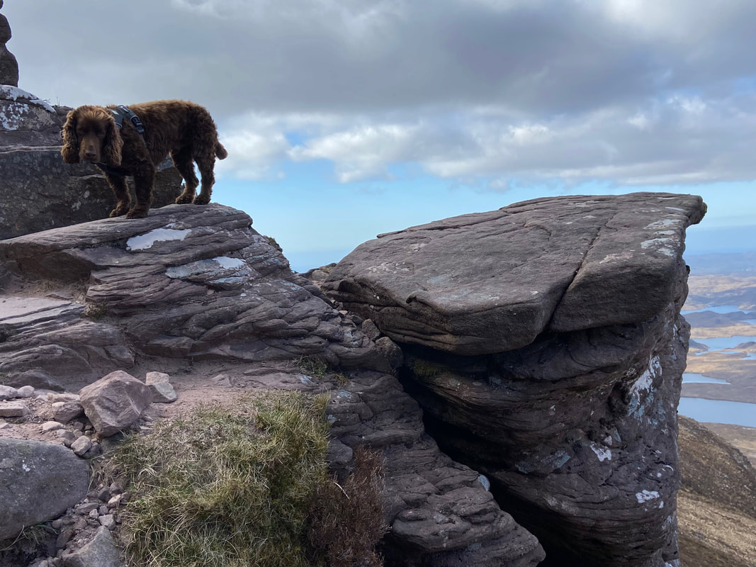
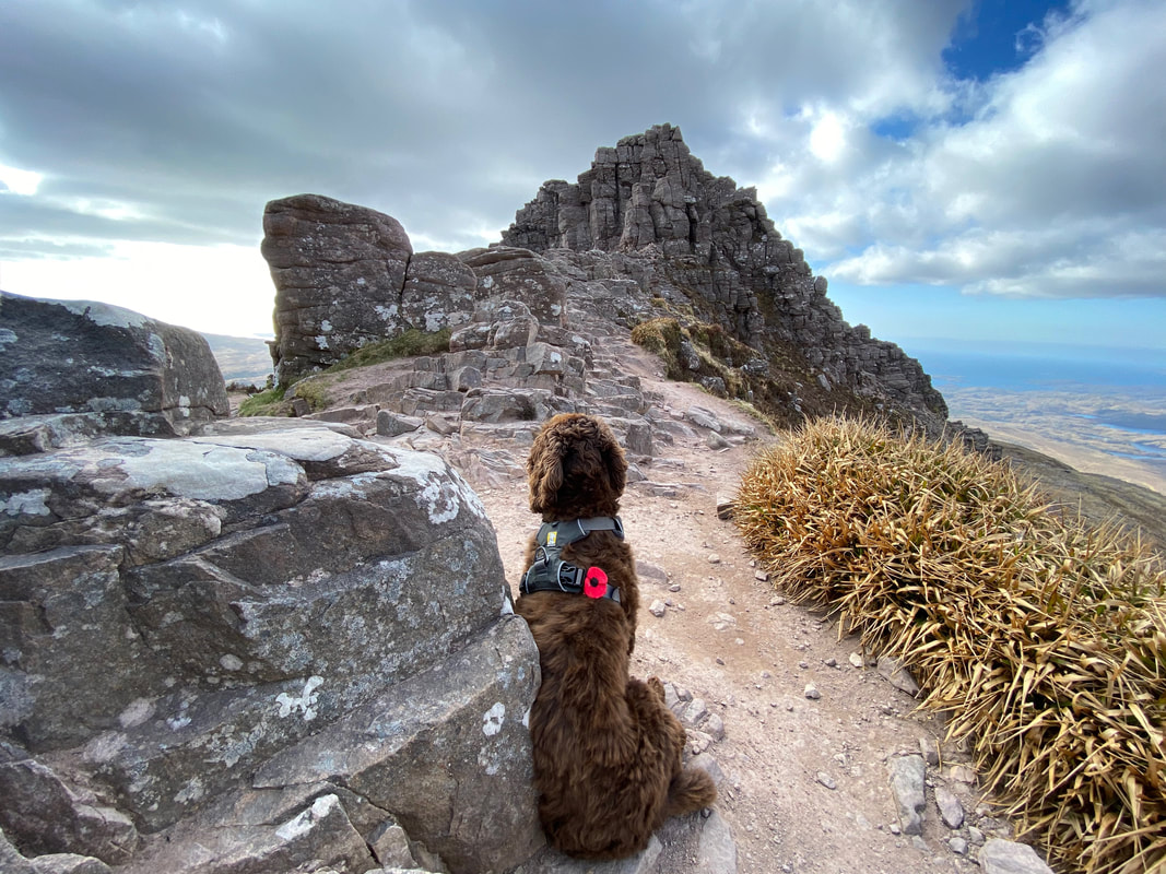
Fudge on the eastern summit of Stac Pollaidh. He is clearly worried about one of two things - where his Mum is or when is it tea time. My guess is the latter.
The far eastern end of Stac Pollaidh
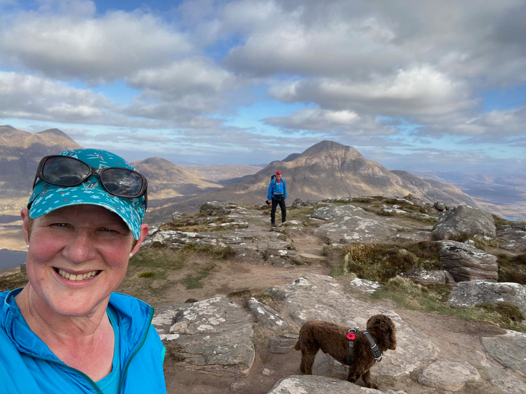
A family summit selfie - Fudge as usual has gone all shy on us
A closer look at the path over to the western summit from the bealach. Once we had reached this point I left Angie & Fudge here and would make my way over to the western top. Whilst the path can be clearly seen ahead it runs out leaving the walker to pick out a route in order to negotiate a way through the shattered rocks & pinnacles.
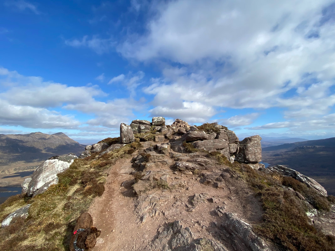
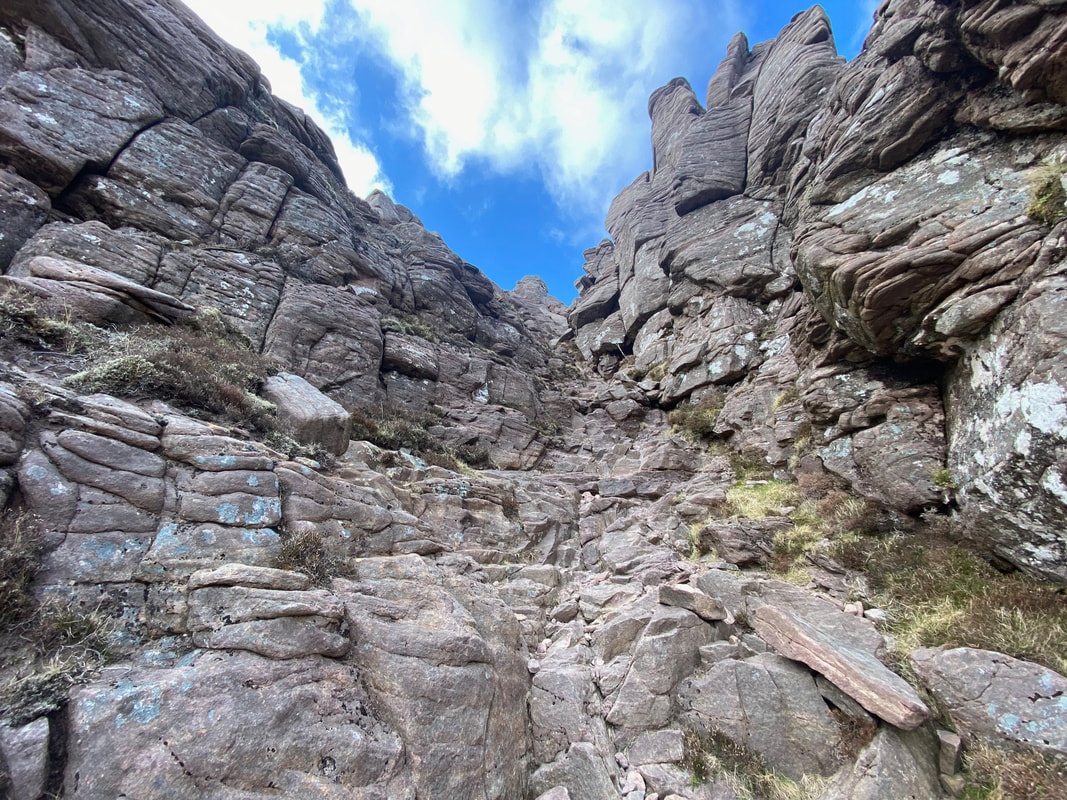
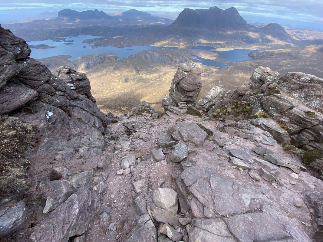
Making my way from the bealach to the western summit. This is the point at which the path runs out - having had a quick recce of the area I decided to head up a stony rake and would use this route on my way down also.
A little further up the rake - hand holds aplenty here and it was an enjoyable scramble
Meanwhile back at the bealach Fudge as usual was probably wondering whether I had buggered off with his dinner in my rucksack!
You've had worse views when you have been starving hungry eh Fudge?
Meanwhile back on the route to the western summit the scrambling along the ridge was fantastic
Will soft lad be back soon Mum?
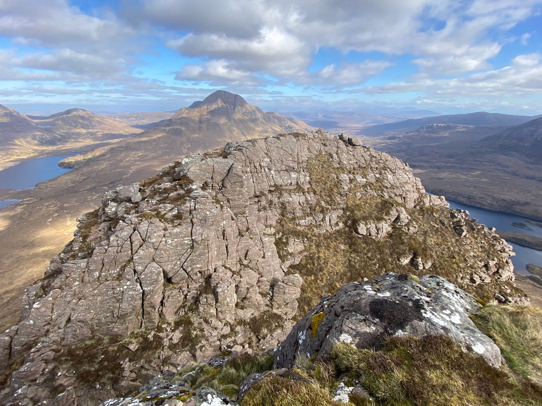
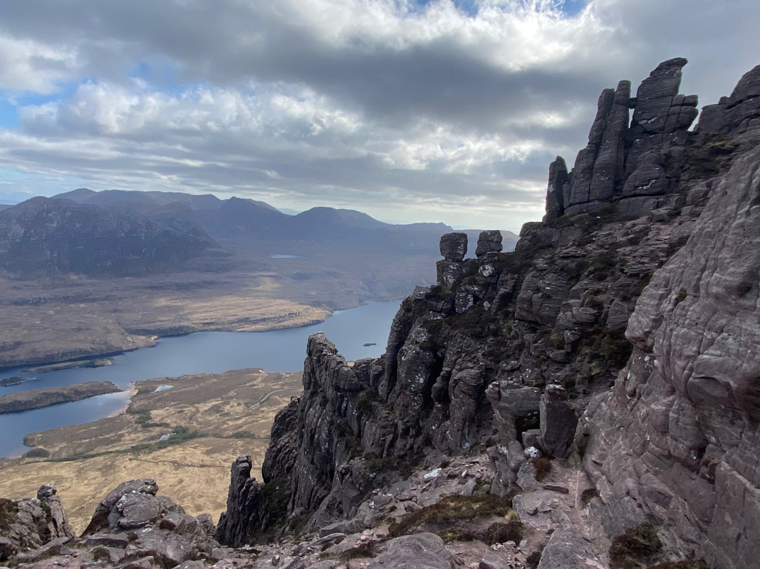
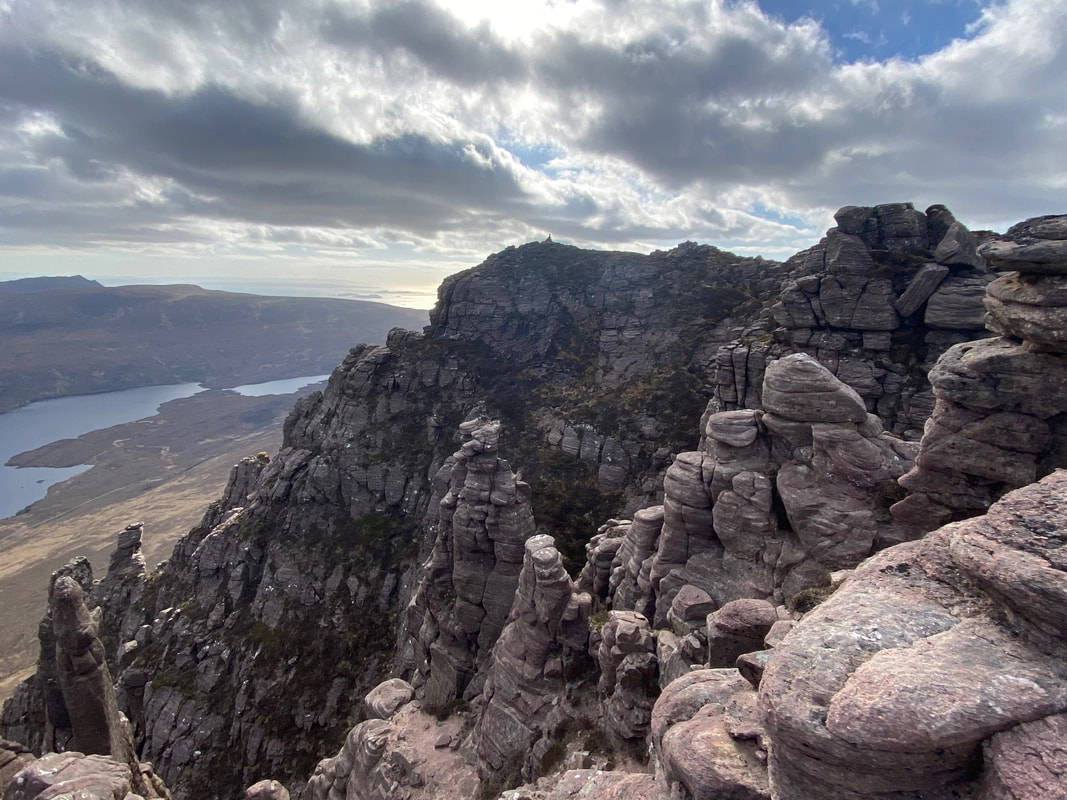
As I made my way, the scrambling gave me the opportunity to peer down into the many gullies and observe the shattered pinnacles on both sides of the ridge
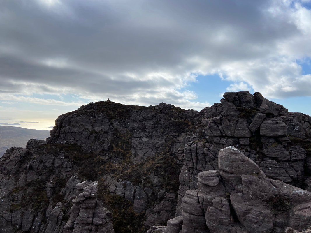
At this point I thought that the cairn on the centre left was the summit and despite the hype about how difficult the scramble was it looked an absolute doddle from here (around to the right). Little did I know at the time that the cairn was not the summit - as will be seen shortly.
To reach the cairn I had to negotiate a short causeway with steep drops on either side
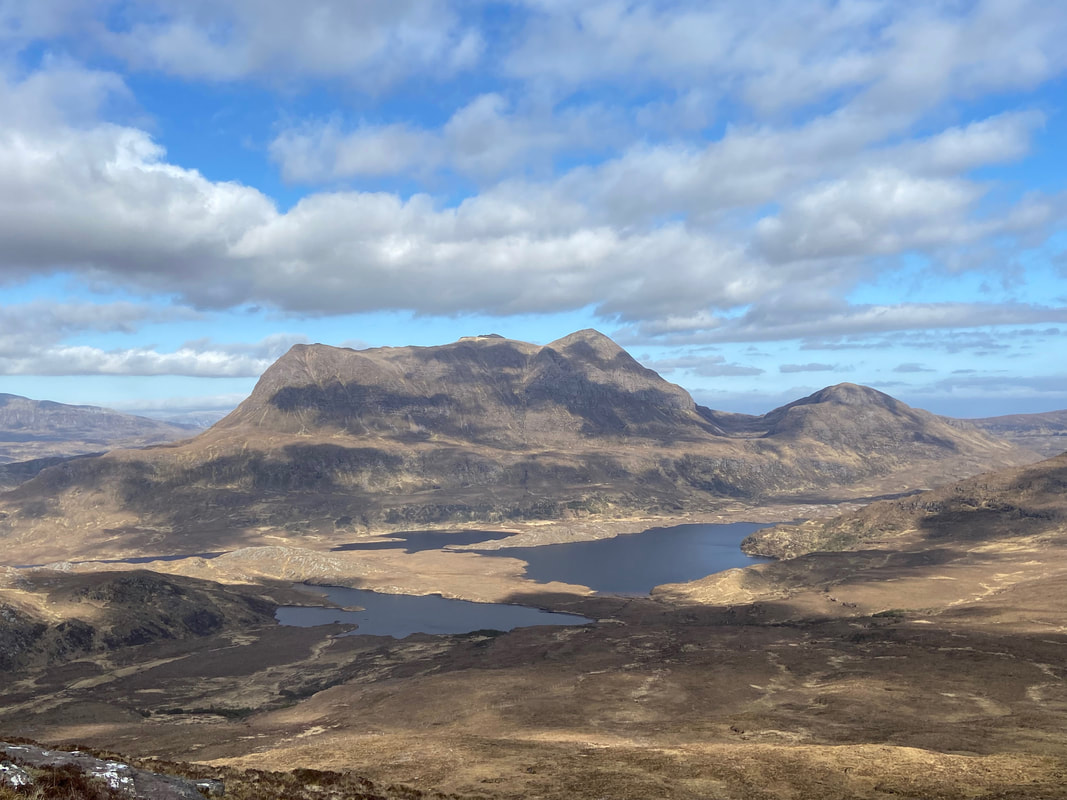
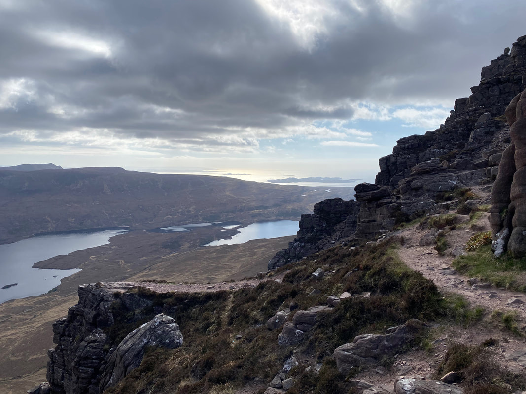
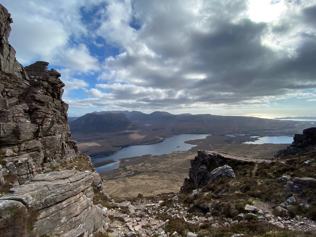
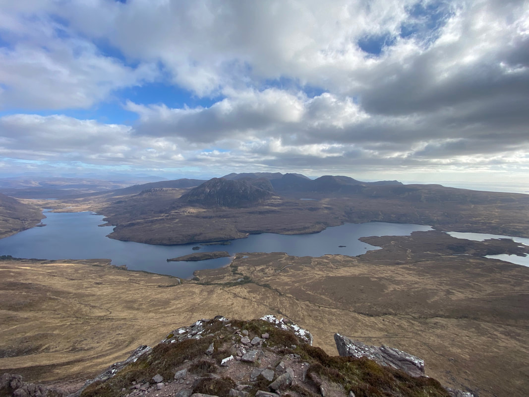
Mind you, despite it not being the summit, the cairn did afford me a fantastic view of our return route & Loch Lurgainn.
A 360 degree view from the summit of Stac Pollaidh (click play to view)
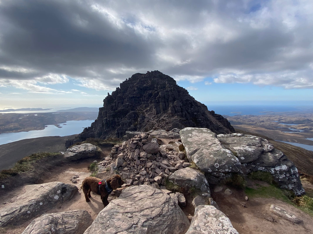
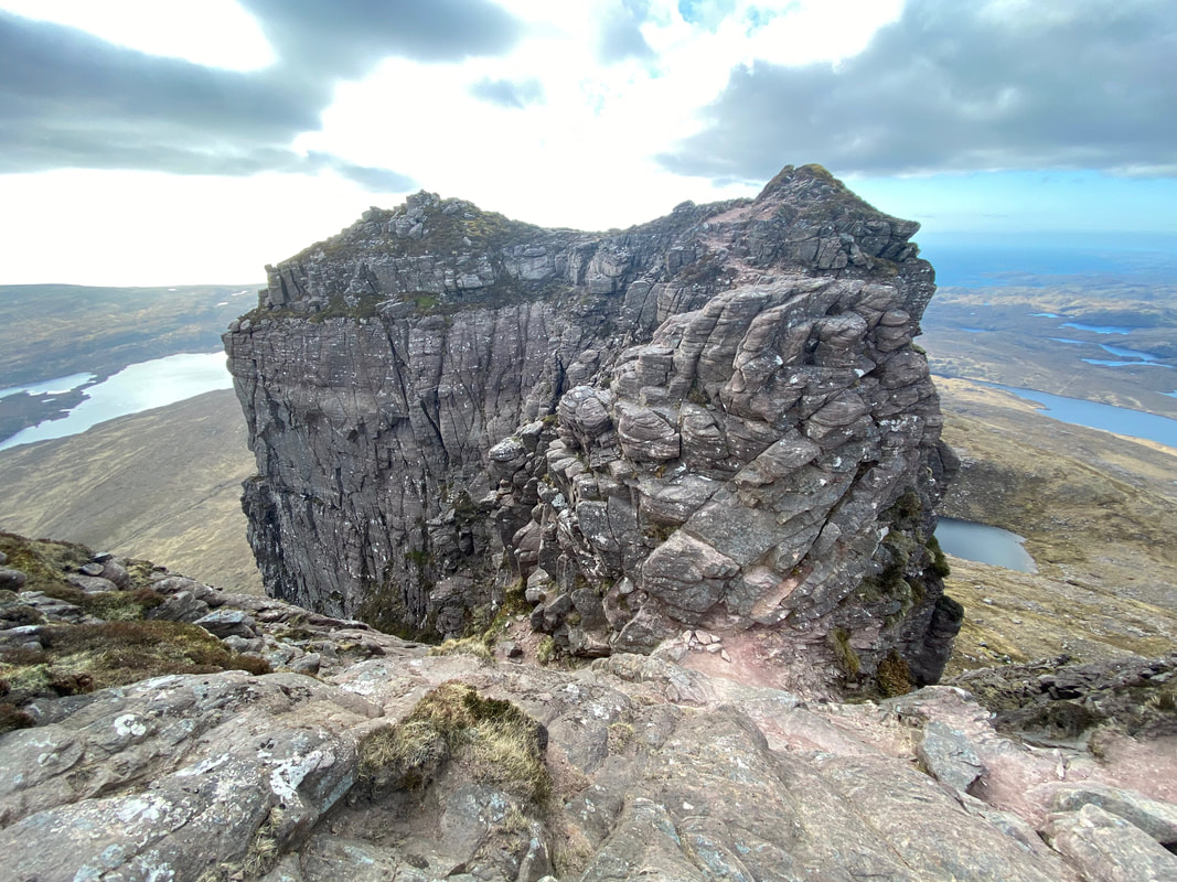
The view to the western summit of Stac Pollaidh. By this time the weather was starting to change and the wind had really picked up. The ascent to the summit can be seen in the video below and is known as "the Assynt crux climb" and was strictly off limits for me today and even in perfect conditions I would not have attempted it - steep drops on either side and very exposed.
Damon Ritchie's excellent video of how to climb the crux
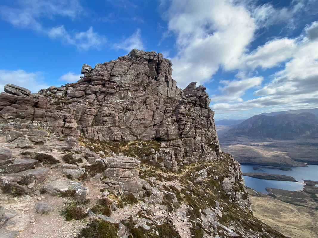
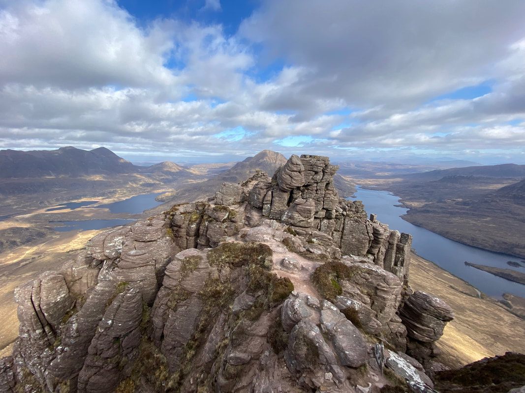
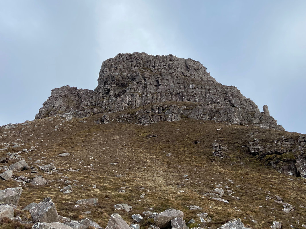
Looking back to the western end of Stac Pollaidh and what an amazing view that is. Pinnacles everywhere, the most famous of which is bottom left and is known as the "Lobster Claw". Sadly, due to erosion parts of the pinnacle collapsed a few years ago.
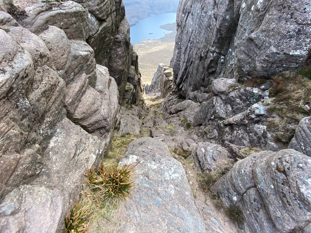
I was now on my my return trip and I had reached the top of the stony rake - time to enjoy a good scramble down to the bottom
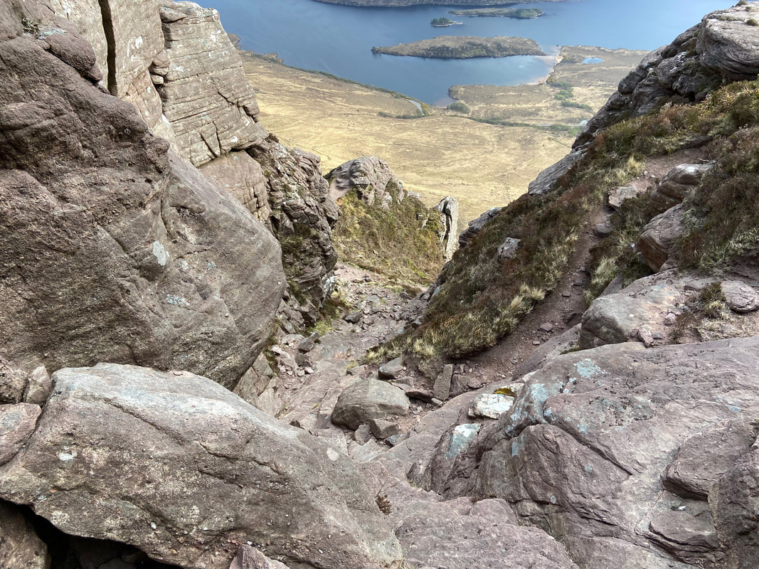
About a third the way down the stony rake
Almost down now - the path can be seen at the bottom heading to the left. I had to use my arse crampon a few times on the descent.
Once back at the bealach we retraced our steps to the path junction and walked along the perimeter path which gave us a good view of the western end of Stac Pollaidh
Heading down the path back to the path junction above the road - would there be any more surprises in store today I wonder?
One final look at the serrated edge of Stac Pollaidh's ridges
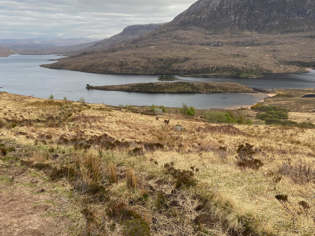
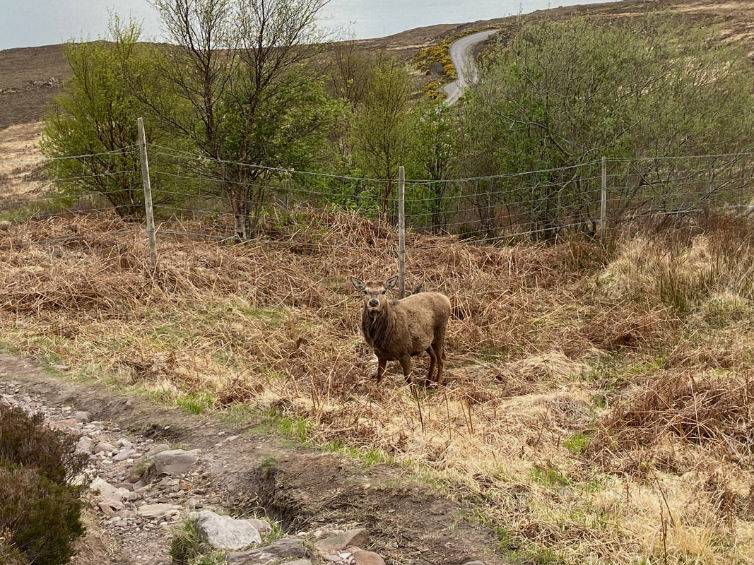
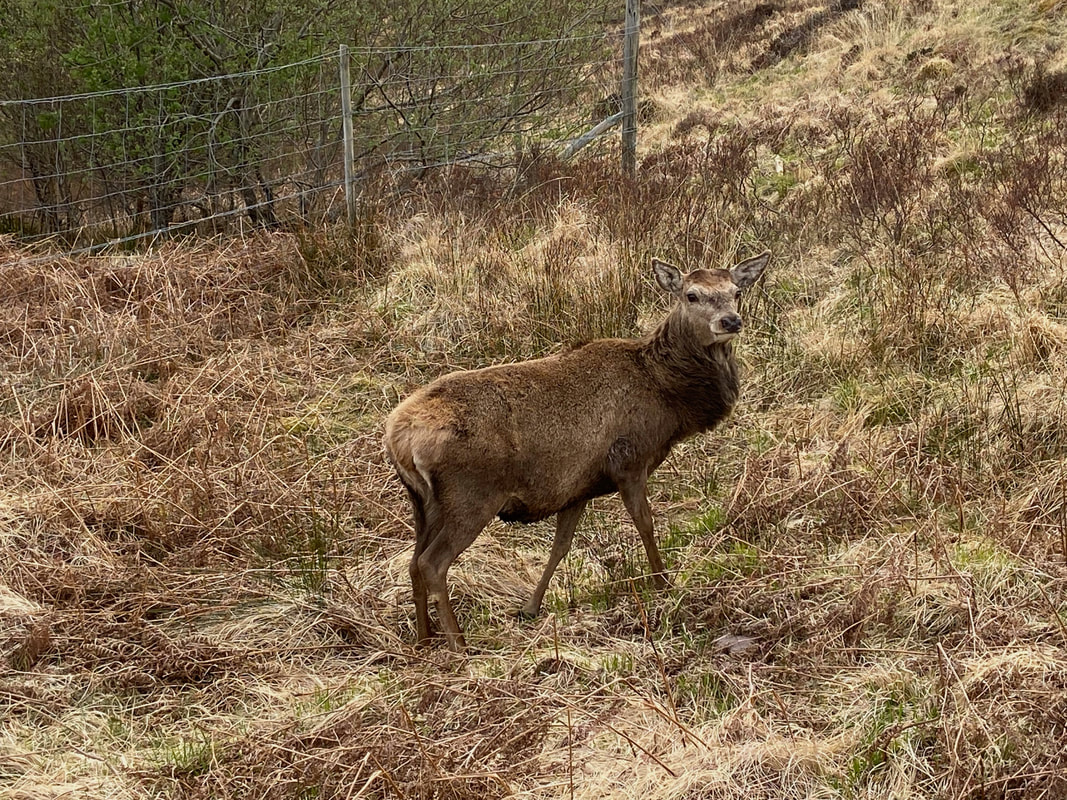
Just as we were negotiating the final boggy section we encountered 3 chaps enjoying their evening meal
Reaching the Deer we just stood quietly and let them get on with it - they were not spooked by our presence and just carried on, looking up at us every now and then.
To get this close to these beautiful creatures is a rare but extremely welcome privilege
Safely back down at the Car Park a little before 1900 and everybody else had gone home - what an absolutely cracking walk and one we hope to repeat.
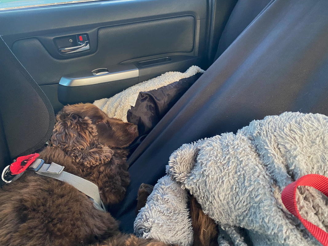
Someone has had a tiring but totally fun day arsing about as only he can - sweet dreams Fudge
