Kelton Fell, Godworth, High & Low Pen - Saturday 6 June 2020
Route
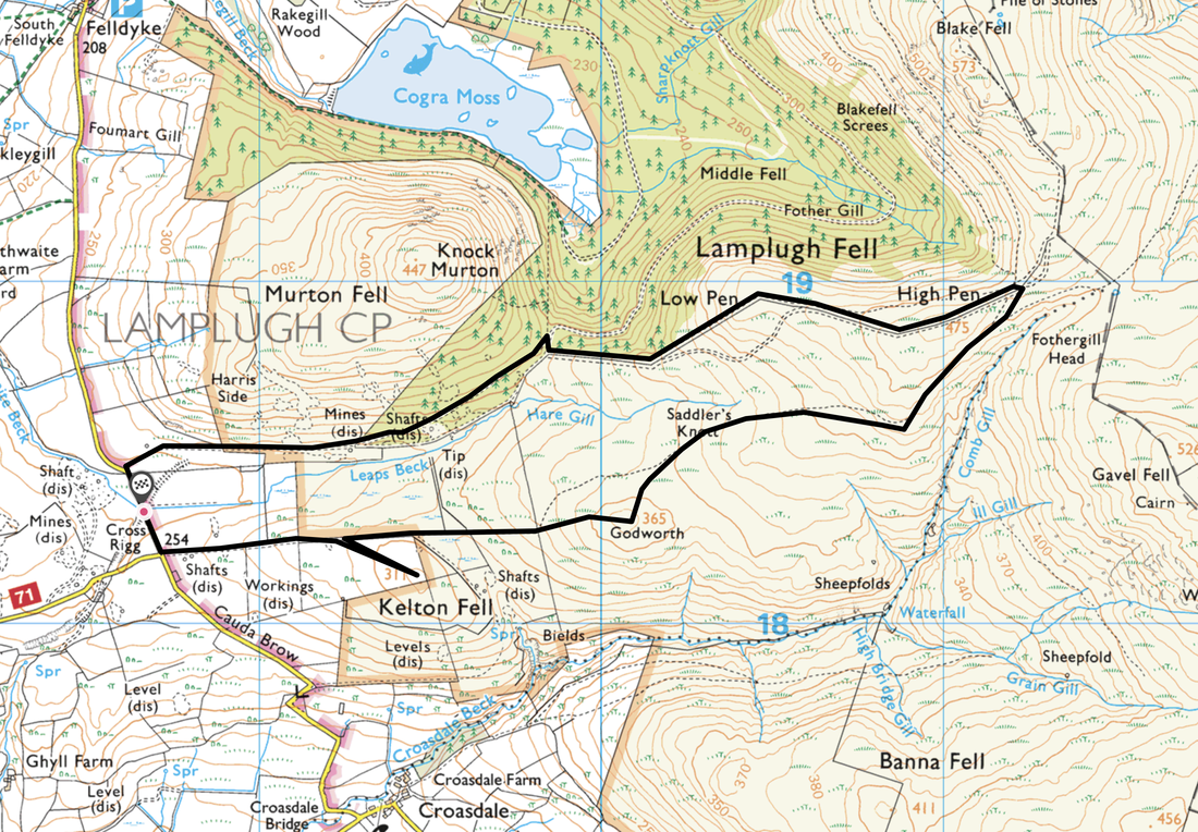
Cross Rigg - Kelton Fell - Godworth - Saddler's Knoll - High Pen - Low Pen - Cross Rigg
Parking
Lay bys either side of the road between Lamplugh & Ennerdale Bridge at Grid Reference NY 0871 1821. The nearest postcode is CA26 3YE.
Mileage
4.5 miles
Terrain
Grassy paths & forest tracks - very easy walking throughout.
Weather
Sunny with light breezes.
Time Taken
2hrs 10mins
Total Ascent
908ft (277m)
Map
OL4 The English Lakes (North Western Area)
Walkers
Dave, Angie & Fudge
|
GPX File
|
| ||
If the above GPX file fails to download or presents itself as an XML file once downloaded then please feel free to contact me and I will send you the GPX file via e-mail.
Route Map
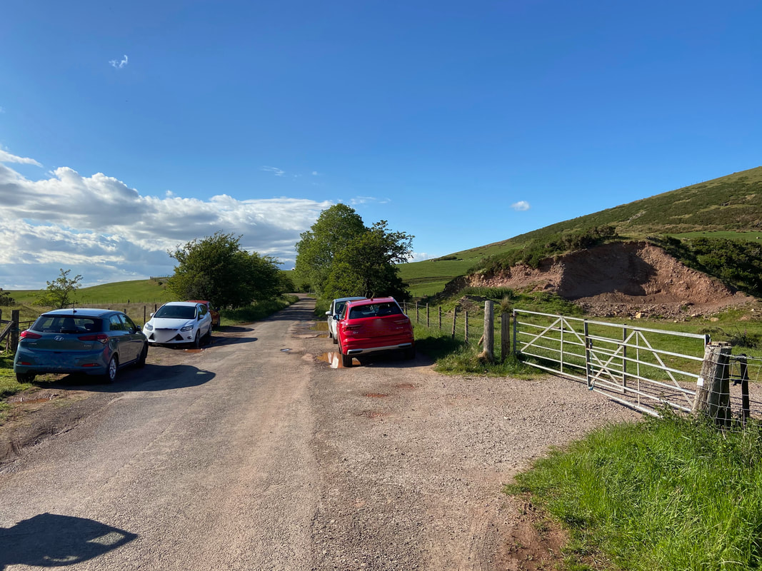
The parking area on the Lamplugh to Ennerdale Bridge road. Just behind me on the left is a road junction opposite a gate.
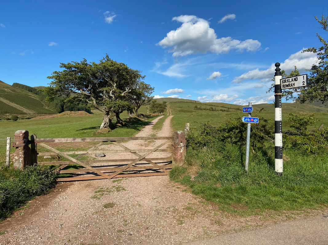
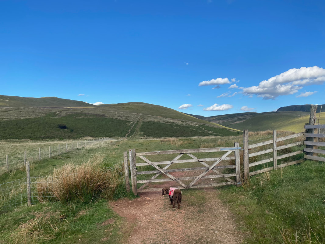
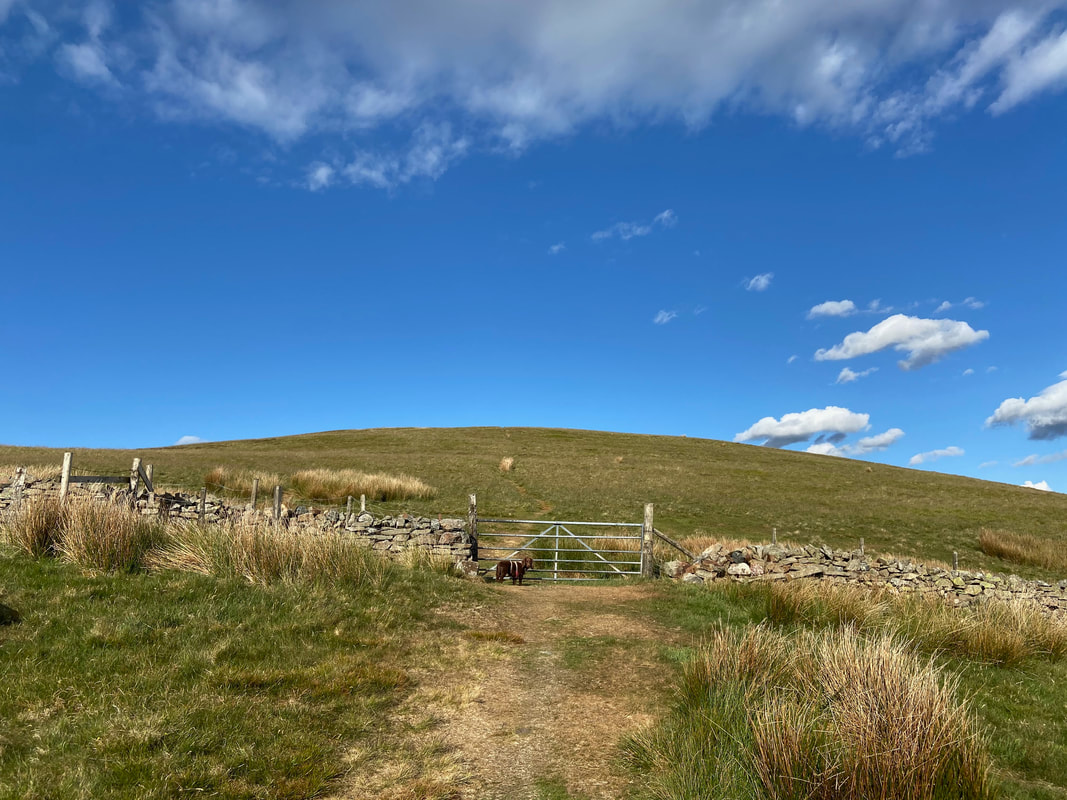
The gate opposite the road junction near the parking area which we would pass through to start our route. The track stretching away is an old mine access road to the Kelton Iron Ore Mines, the disused levels of which are over to the right.
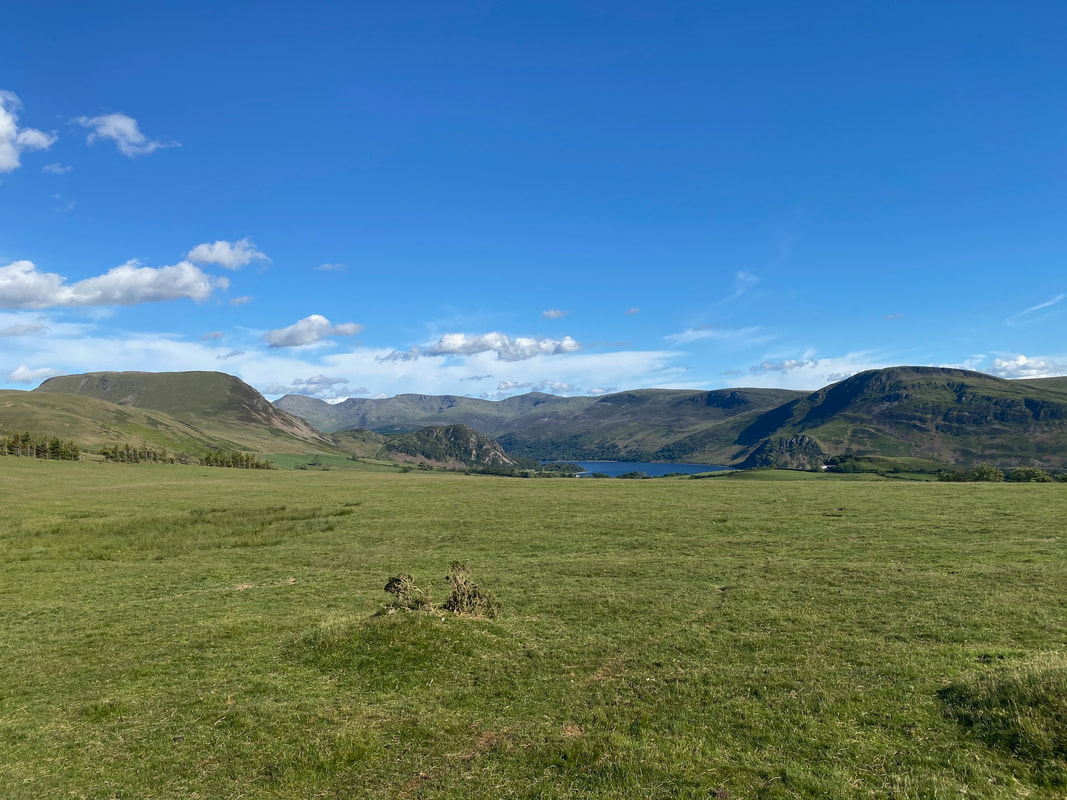
A panorama from the track looking to Great Borne, Bowness Knott, Anglers Crag & Crag Fell. In the far distance are Pillar, Wind Gap, Black Crag, Scoat Fell, Steeple & Haycock.
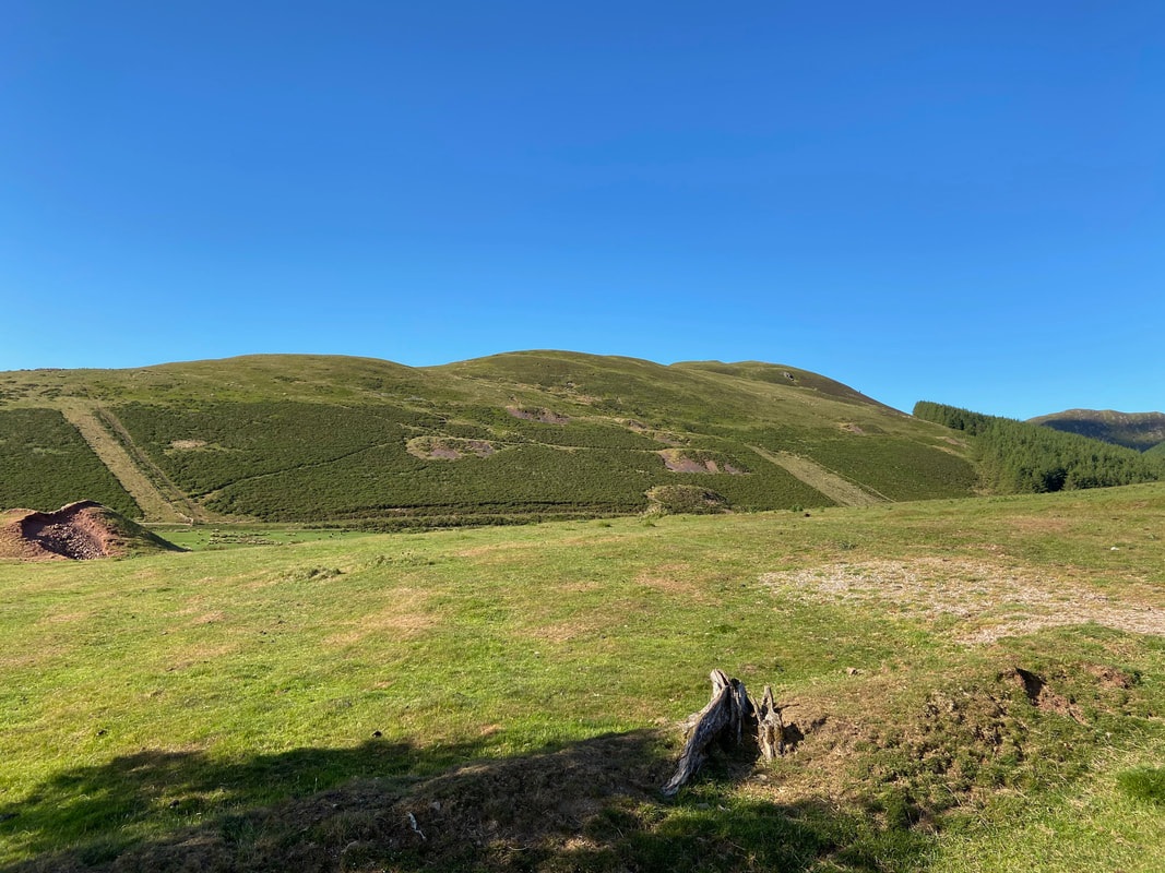
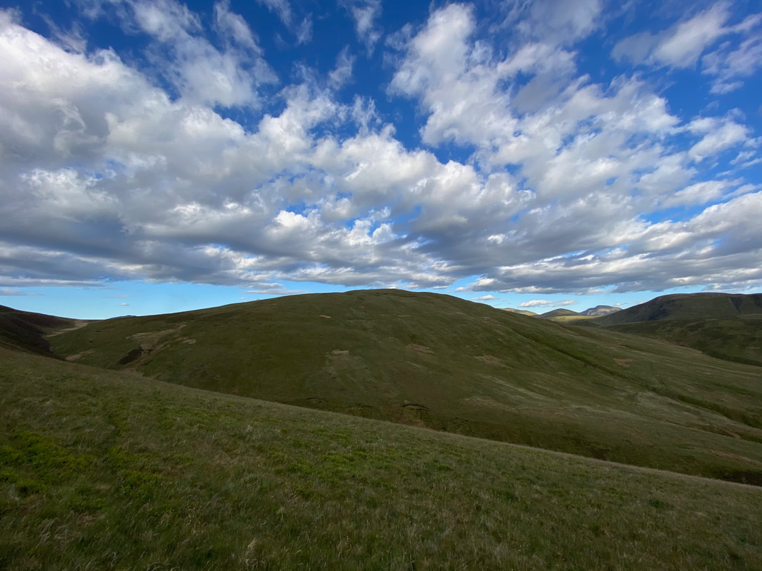
Knock Murton - the path beneath the fell would be our return route today
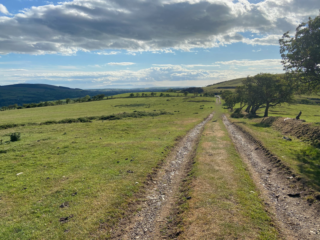
Looking back to Cross Rigg from the old mine road
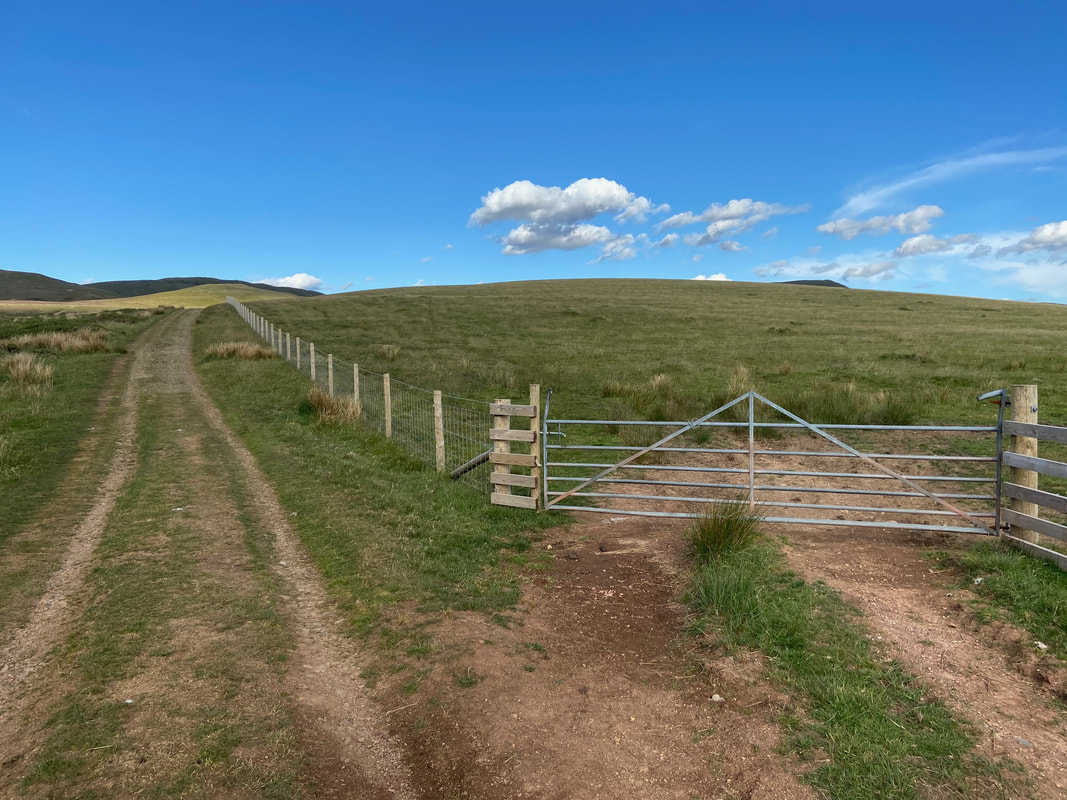
A gate gives access to Kelton Fell (Grid Reference NY 09218 18254). It is a quick 700 yards out and back from here to gain the summit.
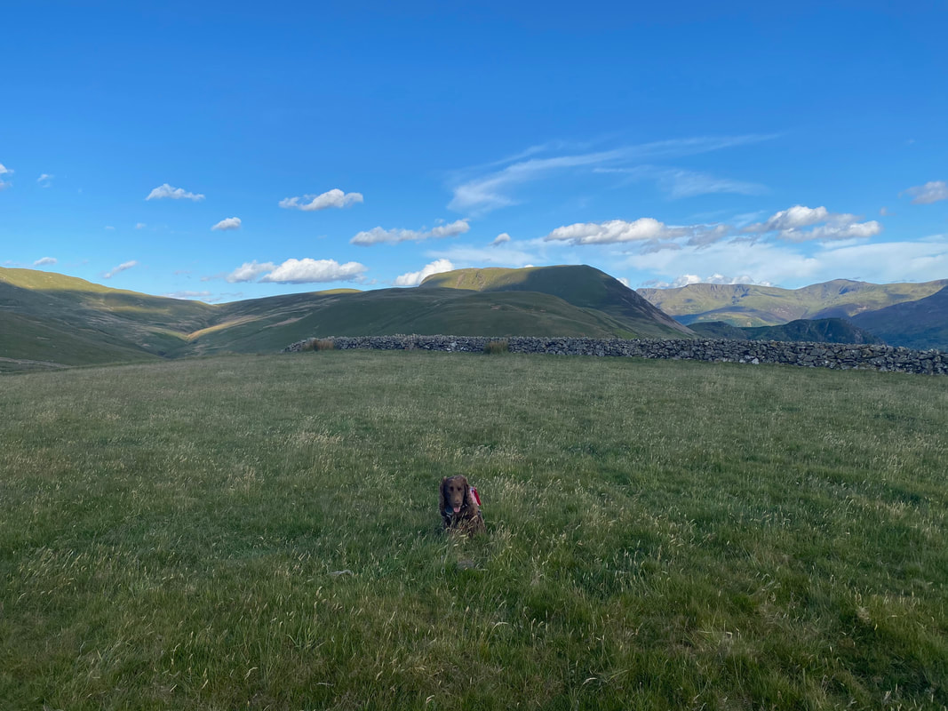
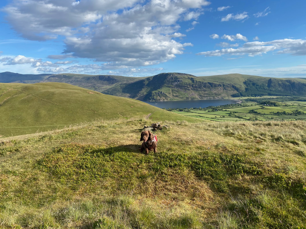
Fudge on the very understated summit of Kelton Fell
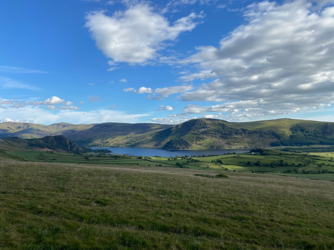
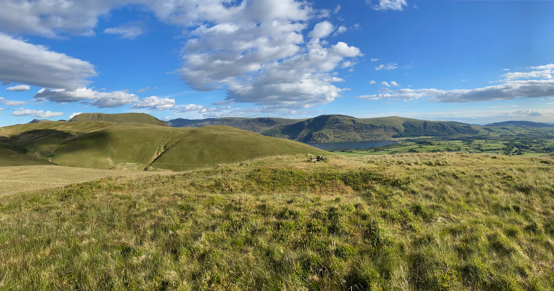
Ennerdale Water from Kelton Fell
Another gate give access to the open fell side with Godworth ahead
Looking back to Kelton Fell from the ascent of Godworth
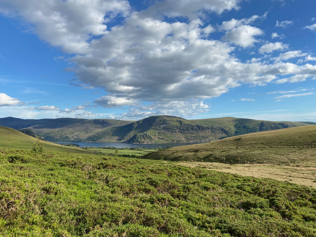
Haycock, Iron Crag, Crag Fell & Grike across Ennerdale Water
Another gate leads to the final approach to Godworth
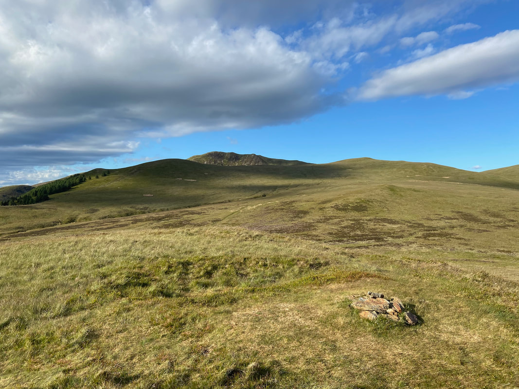
The summit of Godworth looking to The Pens - Low Pen is to the left with High Pen to the right and Blake Fell centre distant
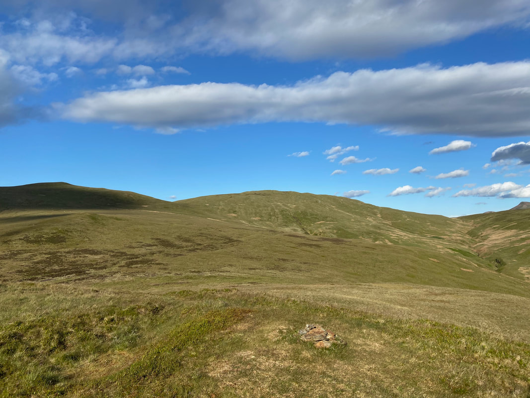
Looking to High Pen & Gavel Fell from the summit of Godworth
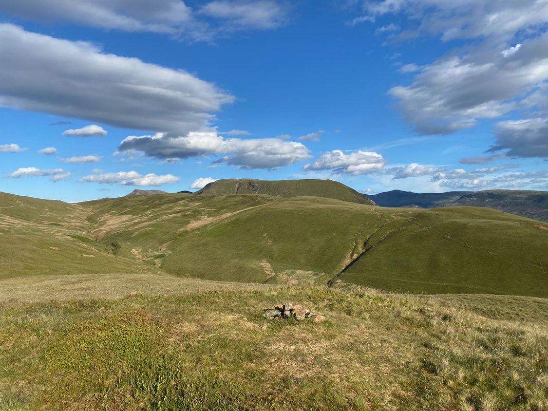
Comb Gill & Fothergill Head from Godworth with Red Pike, Starling Dodd, Great Borne & Haycock providing the backdrop
Banna Fell, Crag Fell & Grike from the summit of Godworth
A Godworth summit panorama
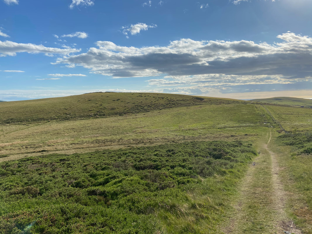
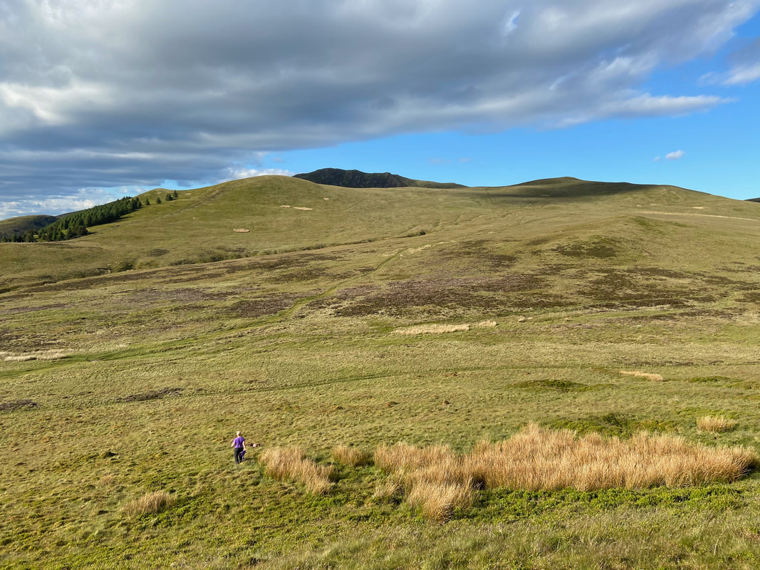
From Godworth the route passes over a pathless, grassy depression to rejoin the main path
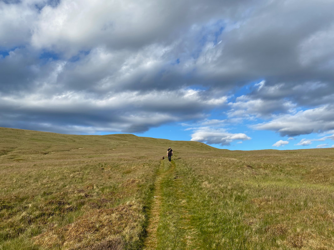
Heading for High Pen - the path I am on does not lead directly to High Pen but skirts around to the right. To reach High Pen simply leave the path at an opportune moment to gain the summit.
Fothergill Head & Gavel Fell
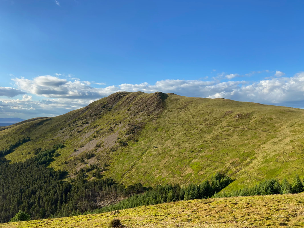
Blake Fell from High Pen
The summit of High Pen looking over to Grasmoor & the North Western Fells. The path ahead can be used to access Blake Fell (left) or Gavel Fell (right).
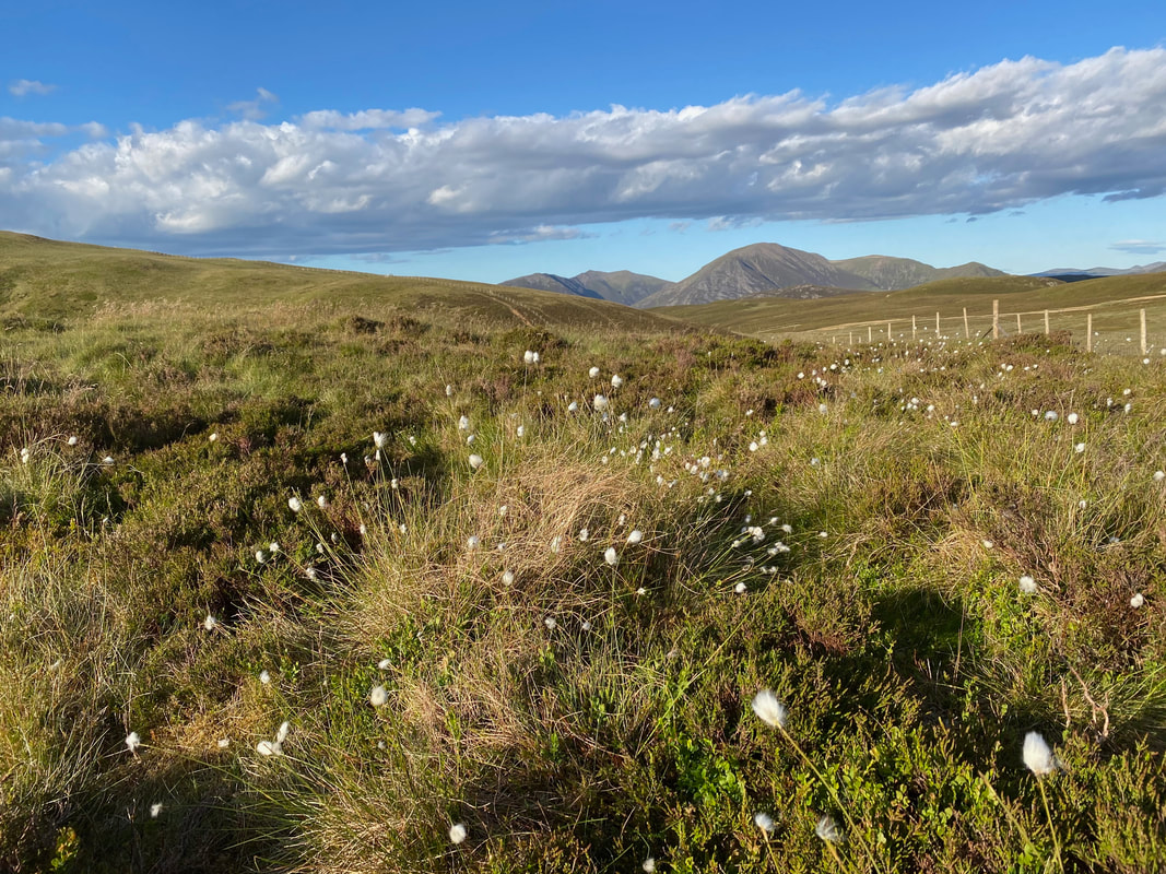
Common Cotton Grass
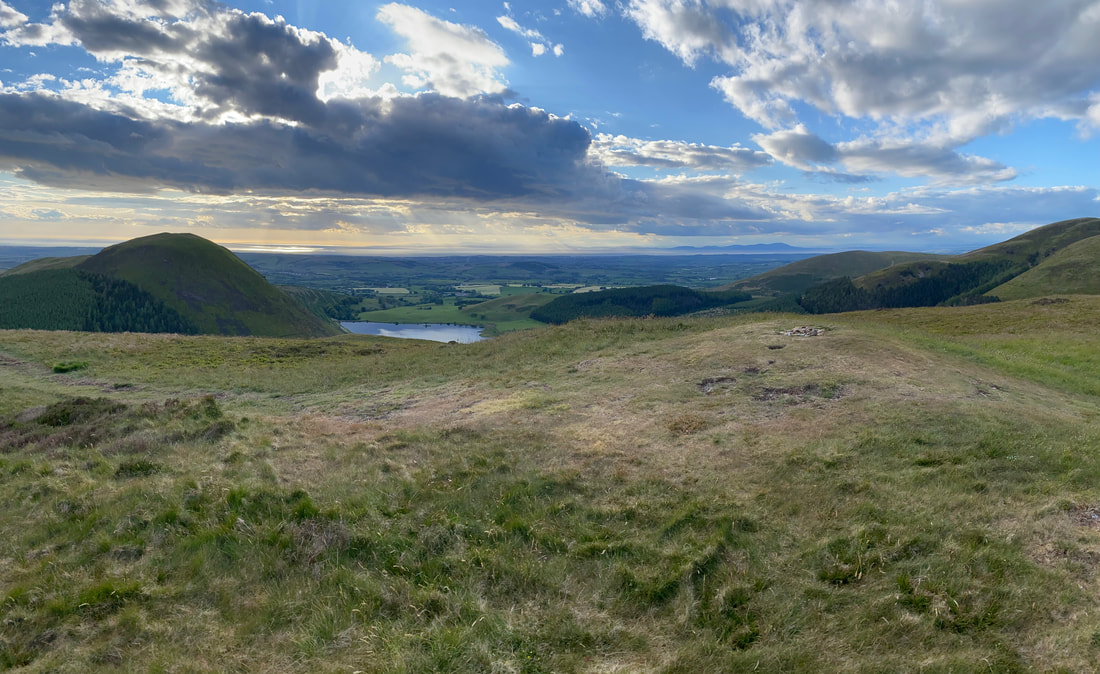
The summit of Low Pen looking to Knock Murton & Cogra Moss
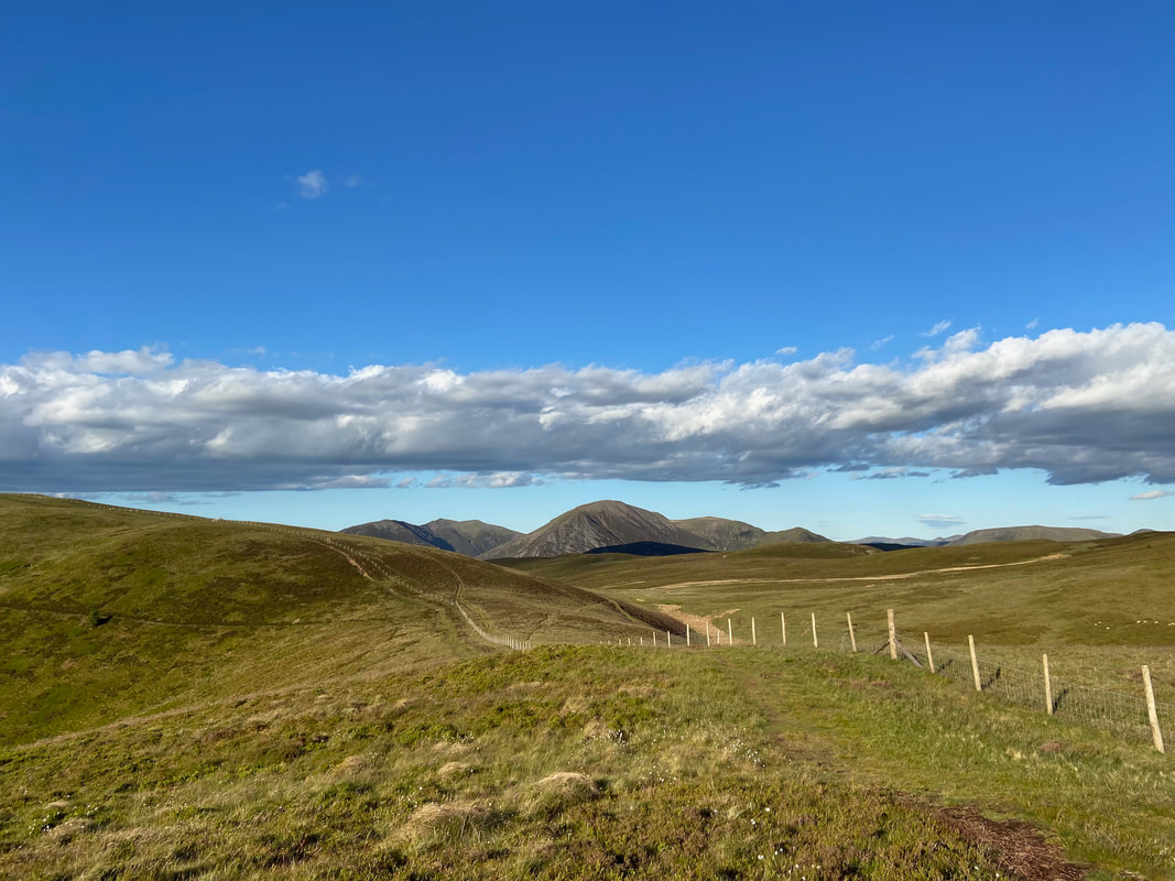
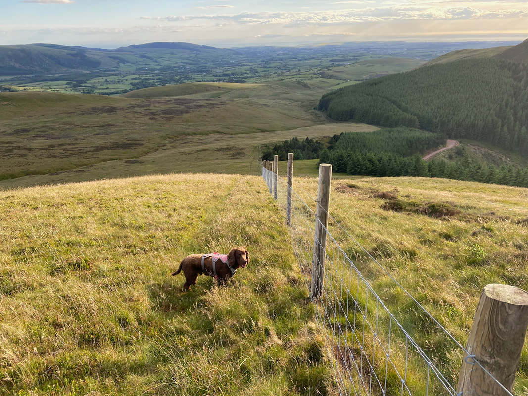
Our descent back to Cross Rigg - down to the fence corner below then turn right
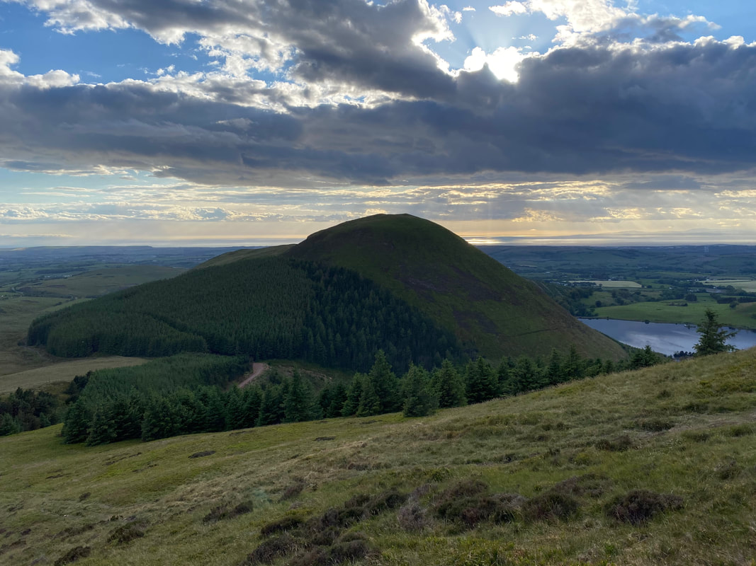
A close up of Knock Murton
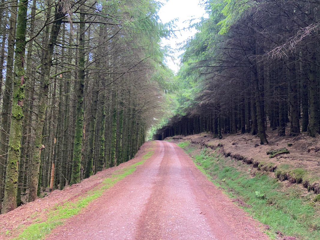
The forest track which leads back to the Lamplugh to Ennerdale Bridge road
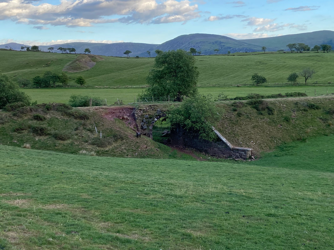
The remnants of an old railway bridge and line which were part of the Rowrah & Kelton Fell Railway. The line ran south from Rowrah to Sheriff Gate where it branched into three. One line ran south-west to Salter Hall Quarry; a second ran south to Stockhow; a third ran east to Kirkland, for Bankstead mine. The Kirkland branch continued east to Kelton Fell and Knockmurton mines, of which the disused line above is part. The line closed in 1926.
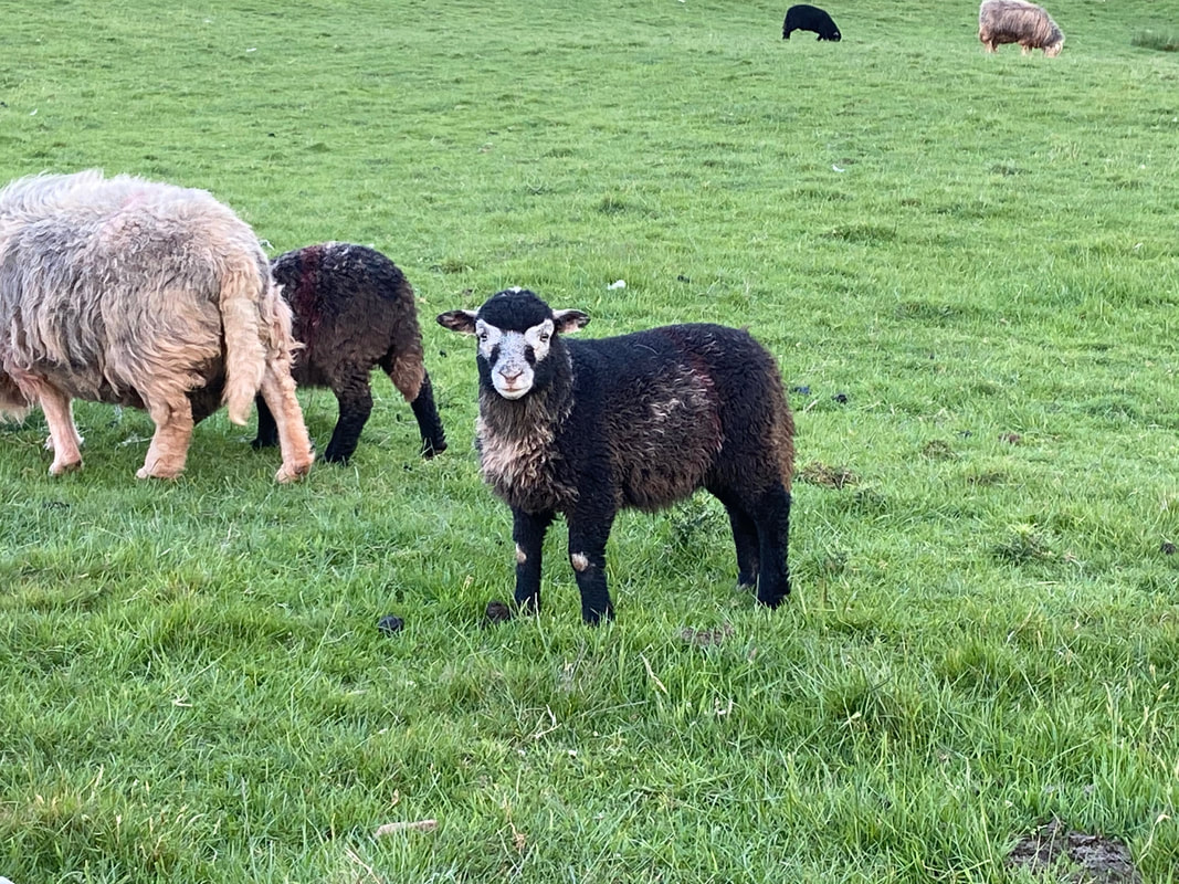
Cuteness overload in the shape of a Herdwick Lamb
