The Hart Fell Round - Sunday 28 October 2018
Route
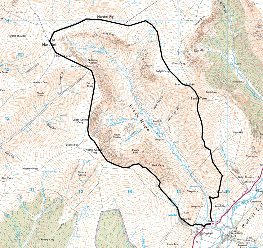
Blackshope - Hang Gill - Black Craig - Nether Coomb Craig - Swatte Fell - Upper Coomb Craig - Falcon Craig -
Hass o' the Red Roads - Hartfell Craig - Hart Fell - Hartfell Rig - Redgill Craig - Under Saddle Yoke - Saddle Yoke - Blackshope
Parking
Blackshope Cottage (Free) which is approximately 9 miles north east of Moffat on the A708 - Grid Ref NT 1467 0984. The nearest postcode is DG10 9LQ. There is room for about 10 cars if you park sensibly and do not obstruct the farm buildings.
Mileage
8.8 miles
Terrain
Moorland & mountain paths with some vague or off path sections. The area can be boggy after a lot of rain.
Weather
Sunny yet bitingly cold with stiff breezes. Visibility was excellent.
Time Taken
6hrs
Total Ascent
2867ft (874m)
Map
OS Explorer 330 - Moffat & St Mary’s Loch
Walkers
Second day of The Lakeland Meet Ups Moffat Hills Weekend. Dave, Angie & Fudge with Deborah, Colin, Alan & Sharon
|
GPX File
|
| ||
If the above GPX file fails to download or presents itself as an XML file once downloaded then please feel free to contact me and I will send you the GPX file via e-mail.
Route Map
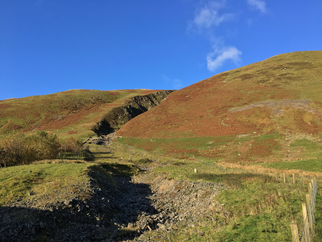
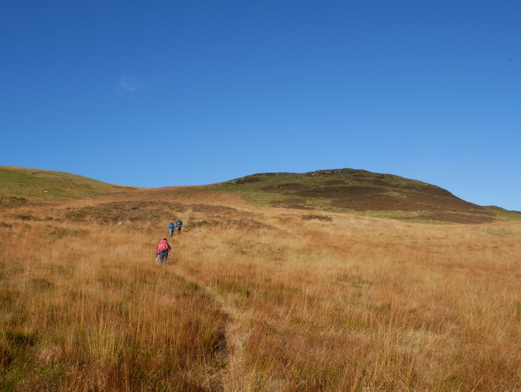
Looking to Hang Gill from Blackshope - our path of ascent headed up the right hand side of the gill although the left hand side can also be used
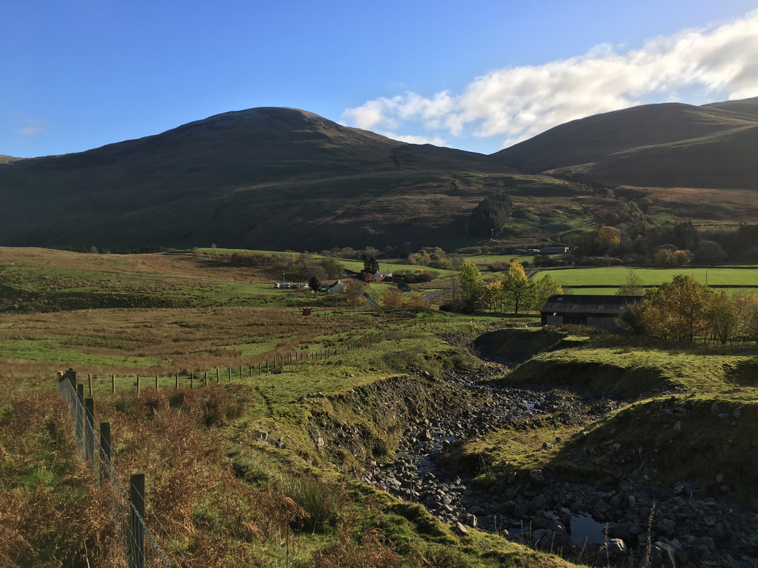
Looking back to Blakeshope with Bodesbeck Law to the rear
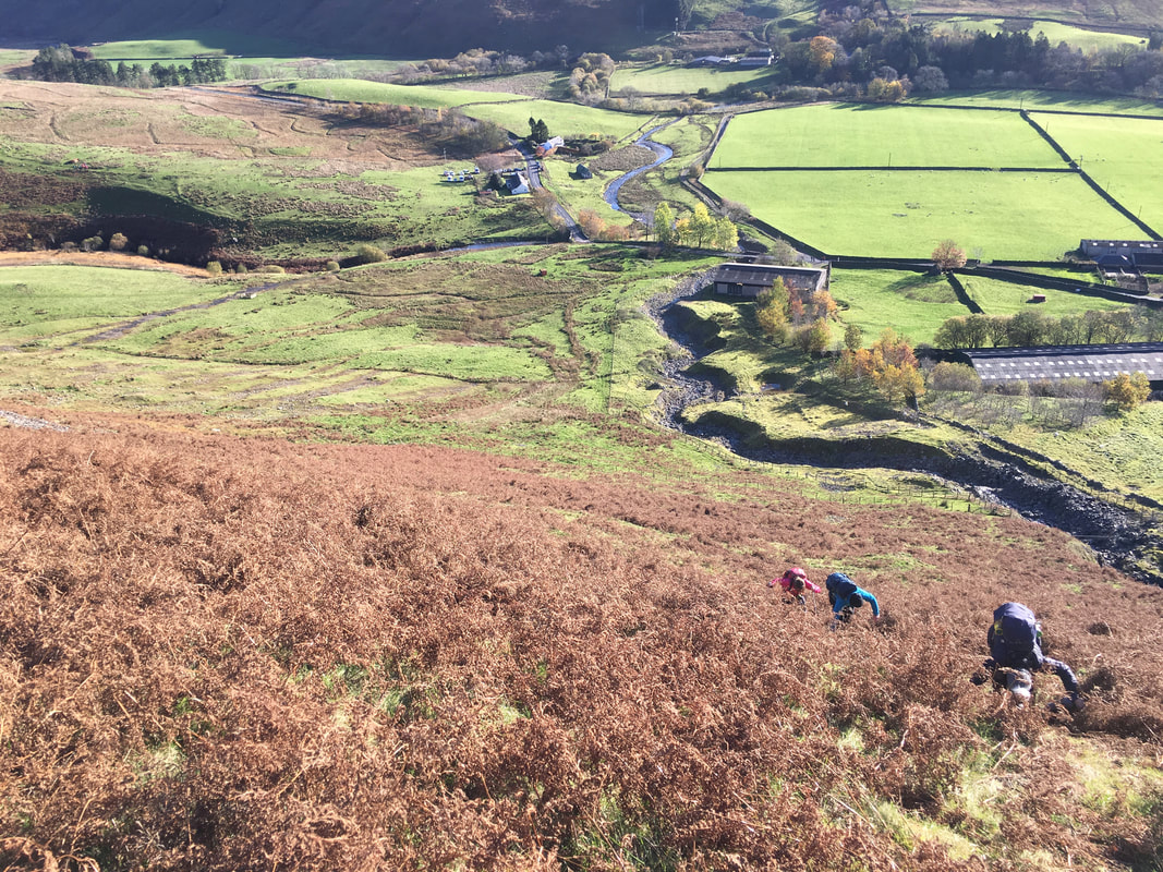
Ascending Hang Gill - this was a testing introduction to the walk and certainly worked off the excesses of last night. The Car Park can be seen top left of centre and when we left was absolutely rammed with Mountain Rescue vehicles who were undertaking a search & rescue exercise in Hang Gill - it was a good job we arrived 10 minutes before them!
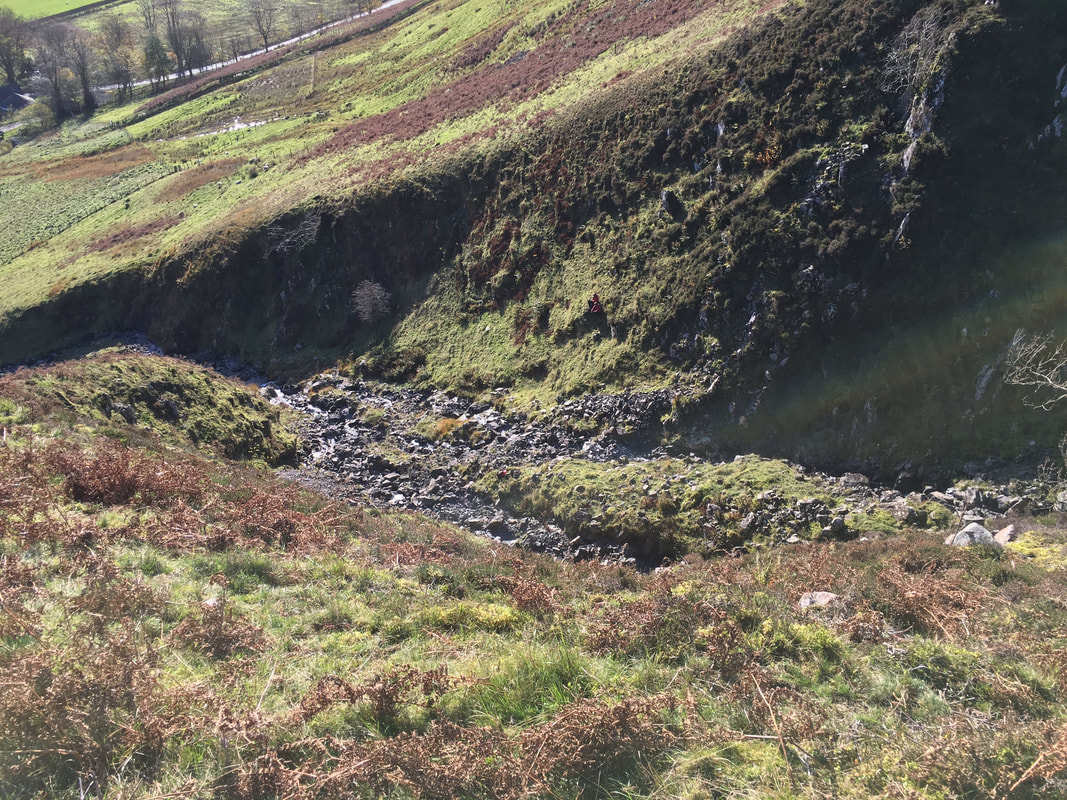
Looking into Hang Gill
If you look closely you will be able to see 2 figures crouching down who were waiting to be rescued by the Mountain Rescue exercise participants.
If you look closely you will be able to see 2 figures crouching down who were waiting to be rescued by the Mountain Rescue exercise participants.
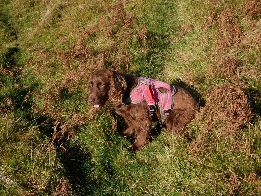
Even Fudge had a bit of a work out on the ascent of Hang Gill
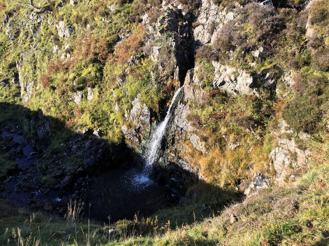
The waterfall at the top of Hang Gill
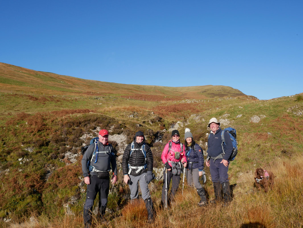
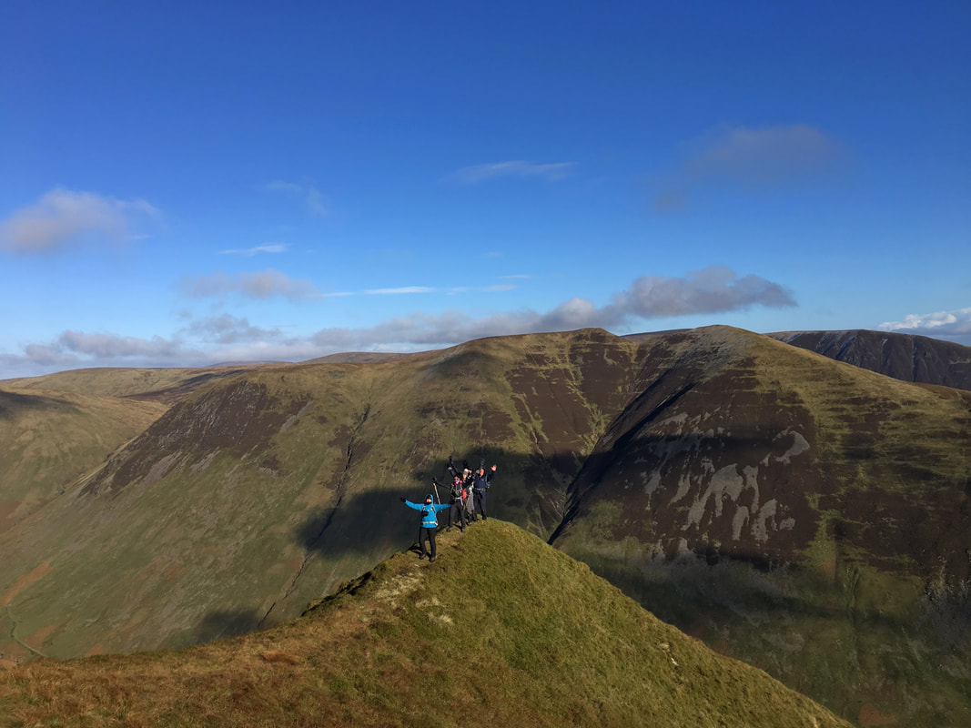
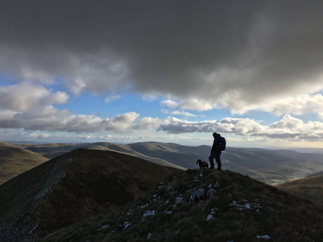
With us now being able to breathe properly (apart from Fudge) we paused for a photo
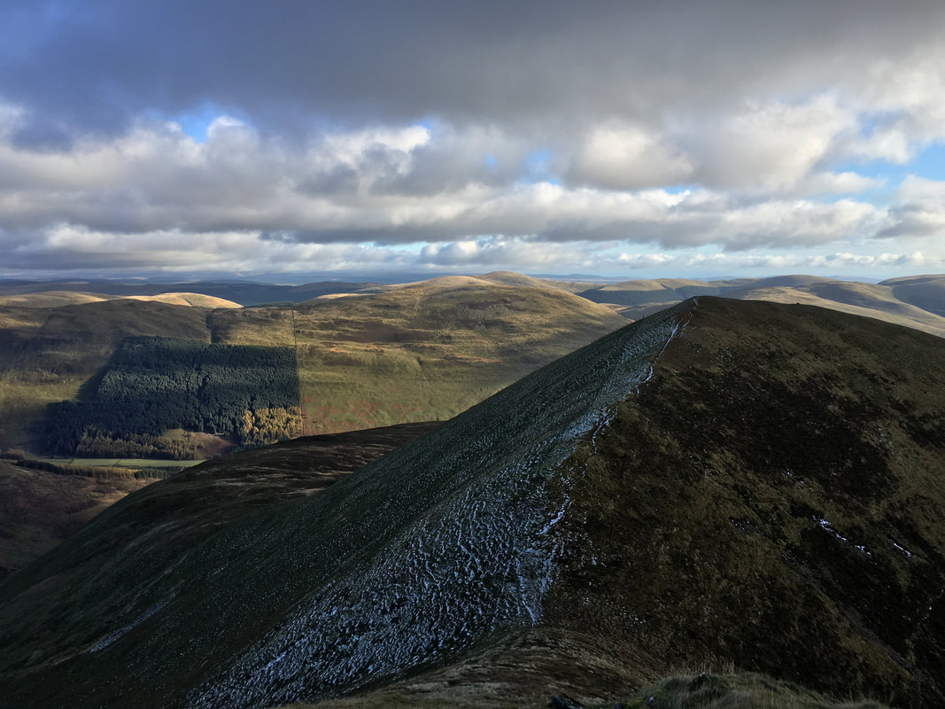
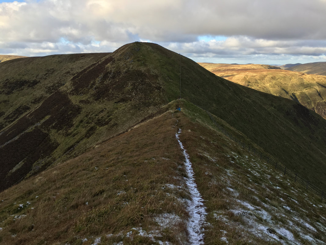
Heading for Black Craig
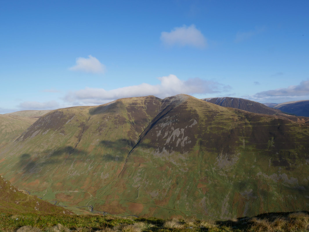
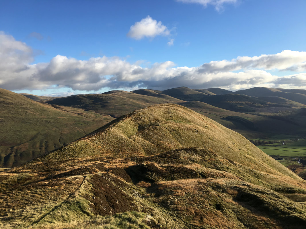
Under Saddle Yoke & Saddle Yoke from Black Craig - our return route
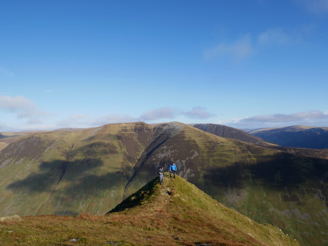
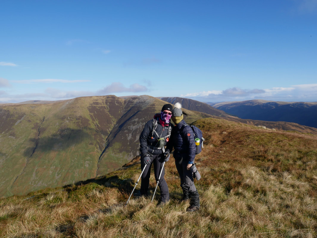
With Colin on Black Craig looking to Under Saddle Yoke, Saddle Yoke & Carrifran Gans
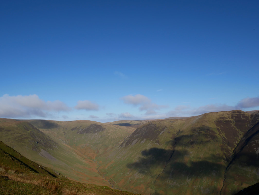
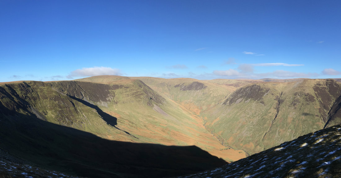
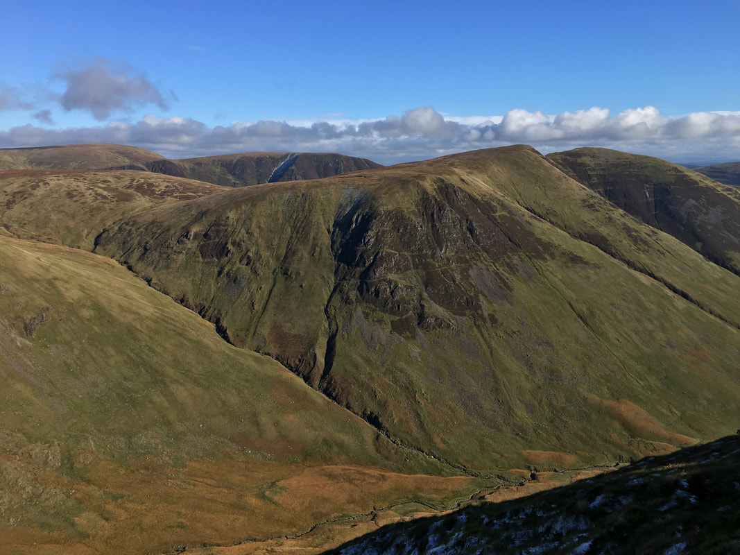
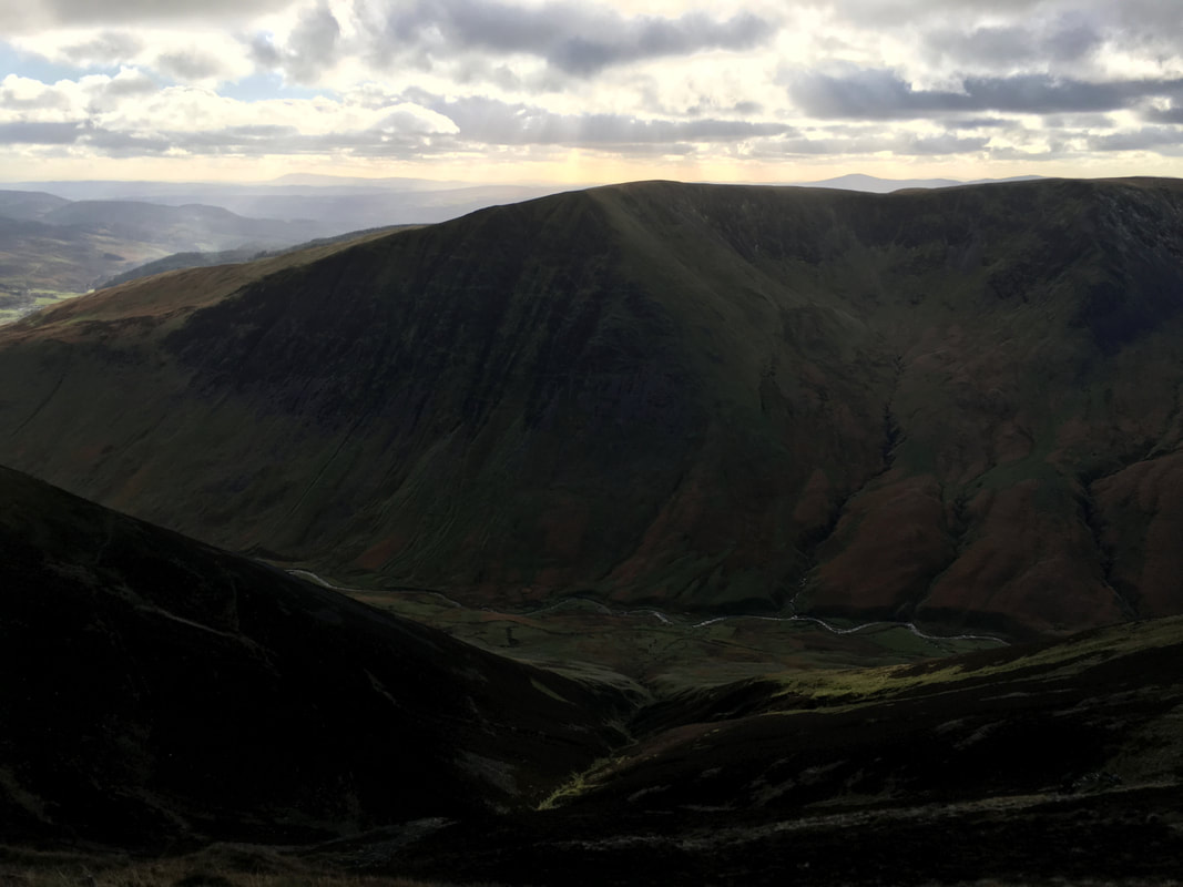
Looking into the Black Hope Valley from Black Craig.
Hart Fell & Hartfell Rig are at the head of the valley with Redgill Craig & Under Saddle Yoke to the right.
Hart Fell & Hartfell Rig are at the head of the valley with Redgill Craig & Under Saddle Yoke to the right.
Clowning around on Black Craig
It's ok - strange para militaries have not suddenly become active in Scotland
A panorama of Black Hope with our route stretching ahead of us
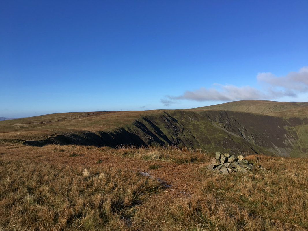
The cairn at the 724m spot height on Black Craig. Nether Coomb Craig, Swatte Fell & Upper Coomb Craigs are ahead
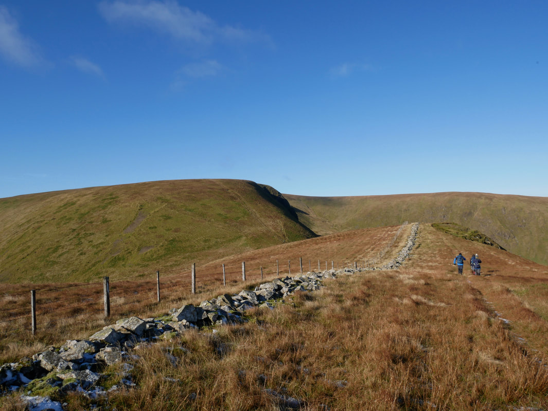
Approaching the col Hass o' the Red Roads. We would be dropping into the col to then climb up to Hart Fell's summit.
Under Saddle Yoke & Saddle Yoke with White Coomb centre left & Carrifran Gans to the right
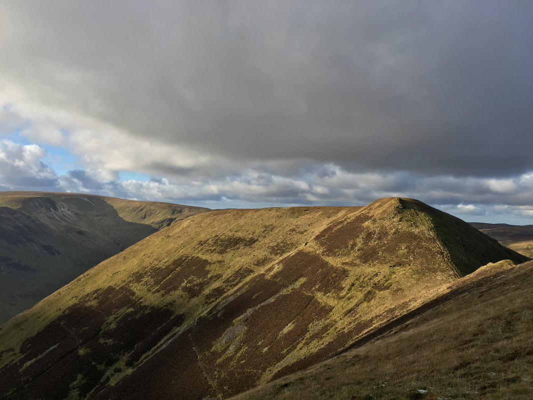
Saddle Craigs on Hartfell Rig - the first part of our return route once we had rounded the head of Black Hope
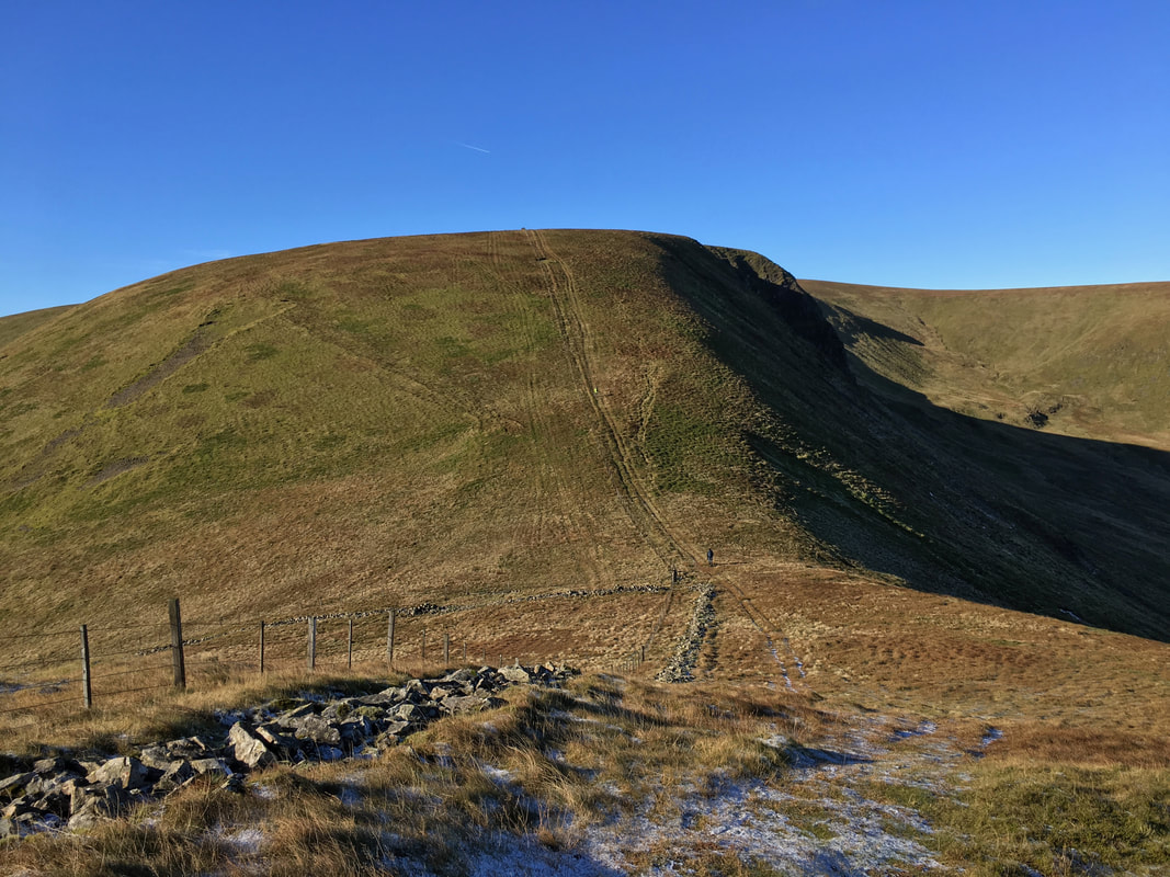
Hass o' the Red Roads and our steep climb to Hart Fell
Looking back from the steep ascent out of Hass o' the Red Roads - this was glorious walking
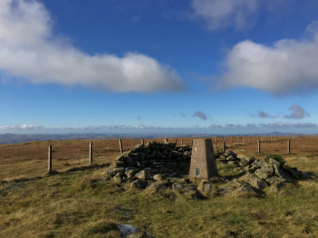
The summit of the Corbett of Hart Fell
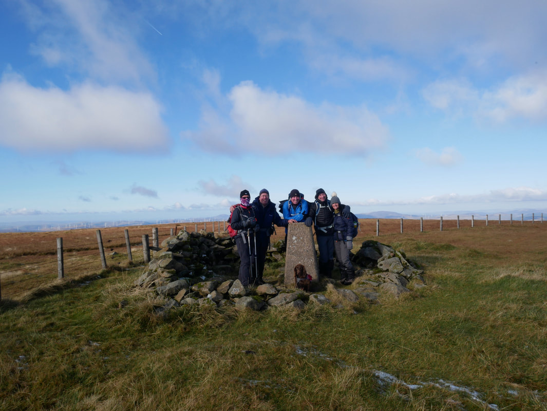
Group photo on Hart Fell's summit with the Lowther Hills distant
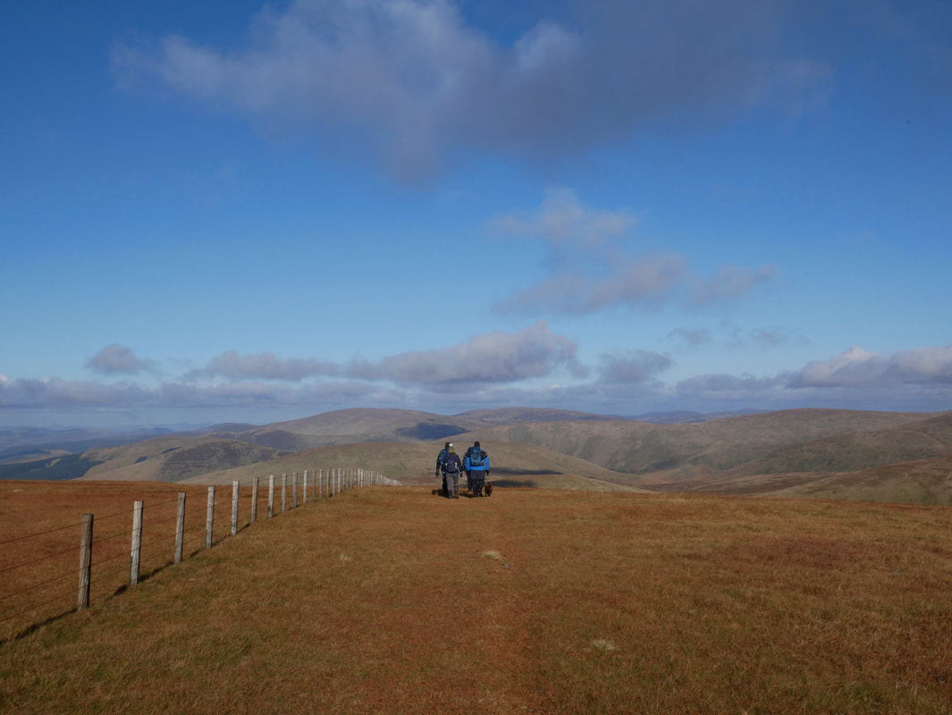
Heading for Hartfell Rig
Colin & Fudge on the summit of Under Saddle Yoke looking to Saddle Yoke
Another steep descent and ascent between the Yokes
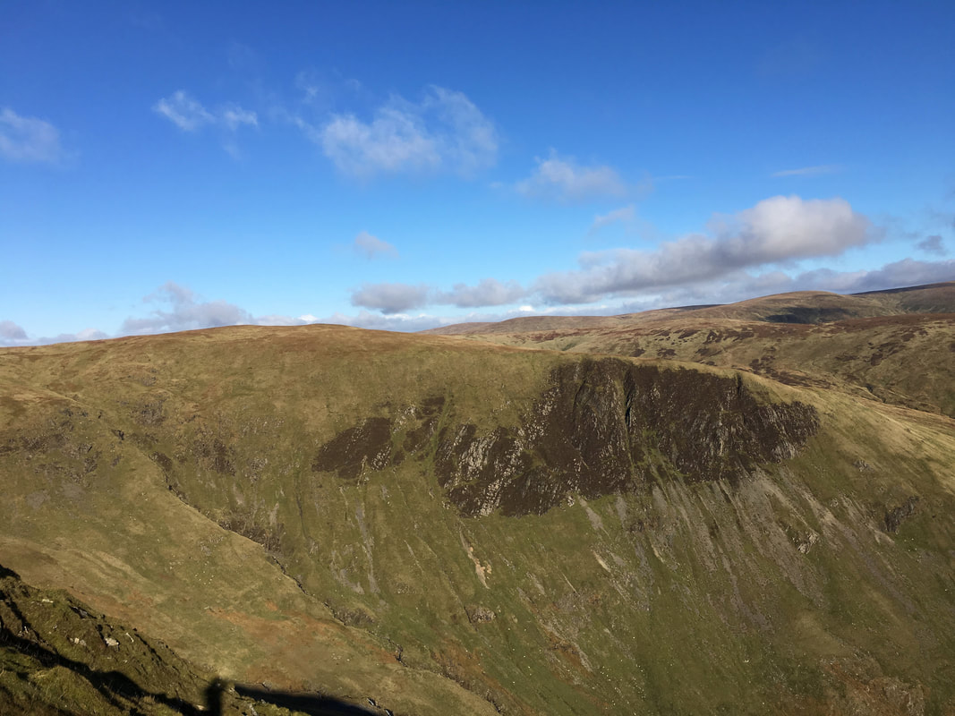
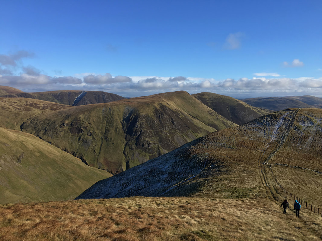
Looking over to our outward route and Falcon Craig
Under Saddle Yoke from Saddle Yoke
Looking back from Saddle Yoke to Saddle Craigs on Hartfell Rig, Redgill Craig & Under Saddle Yoke
Almost down now. What a cracking day out - once we left Blackhope we saw nobody all day
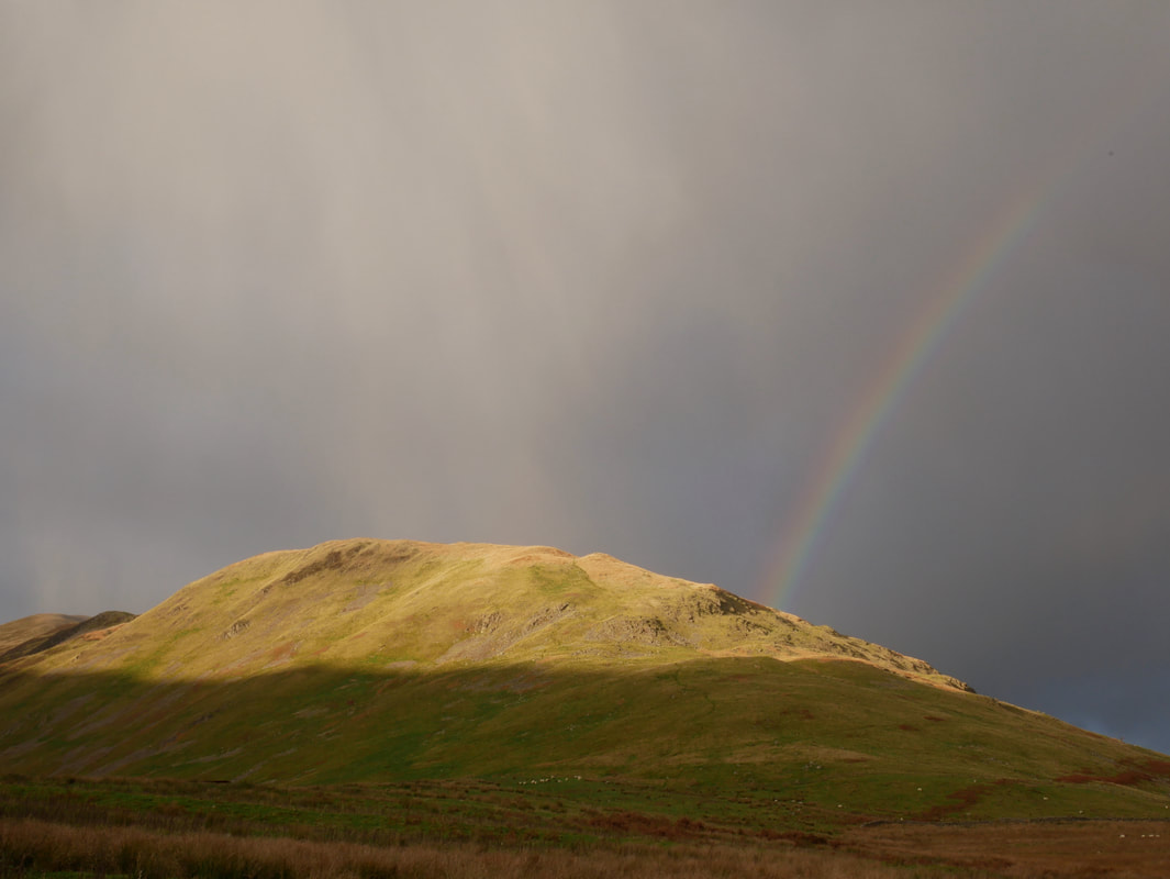
The rainbow topped off a cracking day
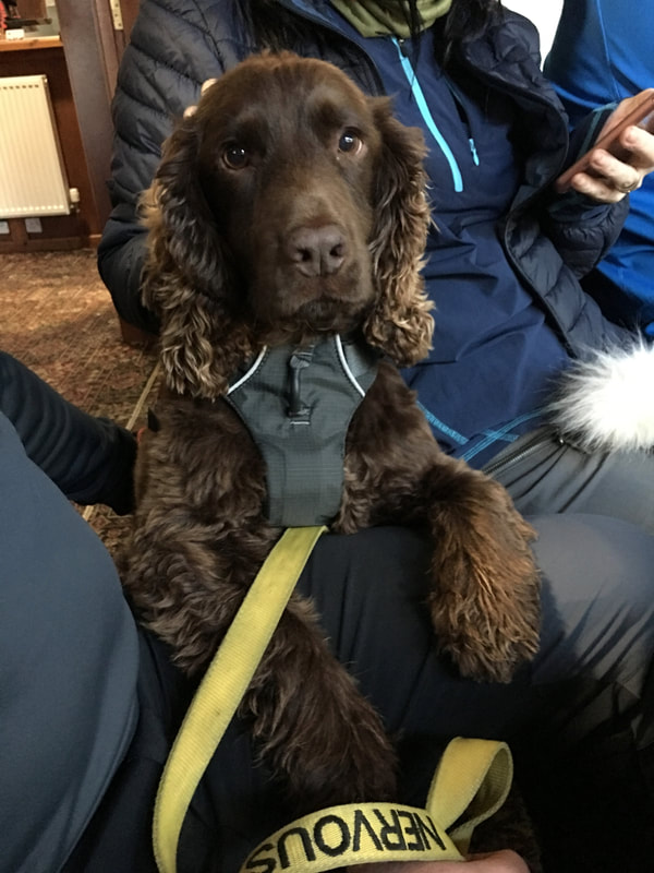
Relaxing in The Star for our debrief - I think Fudge enjoyed his day out
