Day 2 - Sunday 12 June 2016
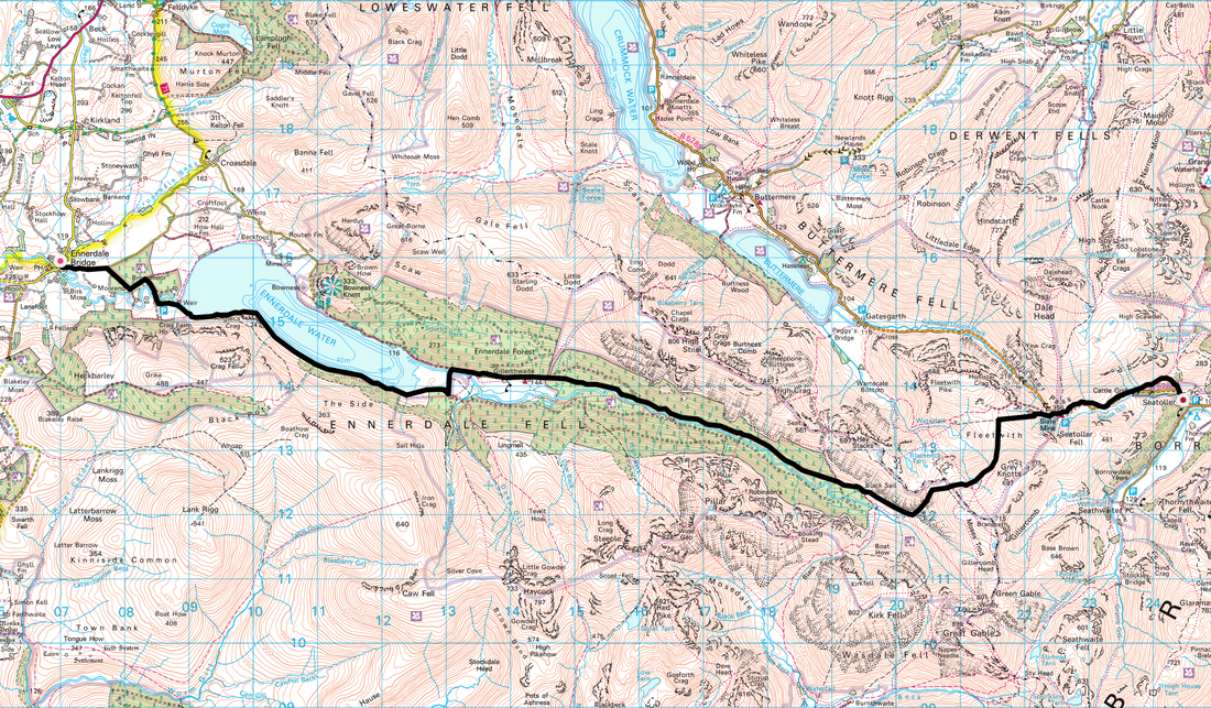
Ennerdale Bridge to Seatoller (13.4 miles)
Breakfast was busy - all Coast to Coast walkers from what we could see. It just goes to show how important the trail is for local businesses and what a revenue maker it is - we were doubtful whether either pub in Ennerdale Bridge would survive were it not for walkers on the Coast to Coast walk. Food for thought.
After settling our bill and sorting our bags out for collection we were away by 0915. We saw the girls as we were sorting Fudge's paw wax out and we bid them a good day - our paths would cross several times over the course of todays walk. Just before Ennerdale Water, we caught up with Joel & Hannah who were undecided as to whether to follow the flatter North Shore path along Ennerdale Water or to take the slightly more difficult South Shore. In the end they opted for the north whilst we were heading south.
After settling our bill and sorting our bags out for collection we were away by 0915. We saw the girls as we were sorting Fudge's paw wax out and we bid them a good day - our paths would cross several times over the course of todays walk. Just before Ennerdale Water, we caught up with Joel & Hannah who were undecided as to whether to follow the flatter North Shore path along Ennerdale Water or to take the slightly more difficult South Shore. In the end they opted for the north whilst we were heading south.
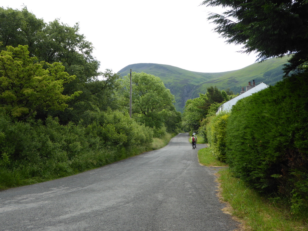
Joel & Hannah ahead as we leave Ennerdale Bridge
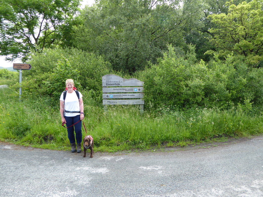
After about 3/4 of a mile along a quiet road we turned off for Ennerdale Water
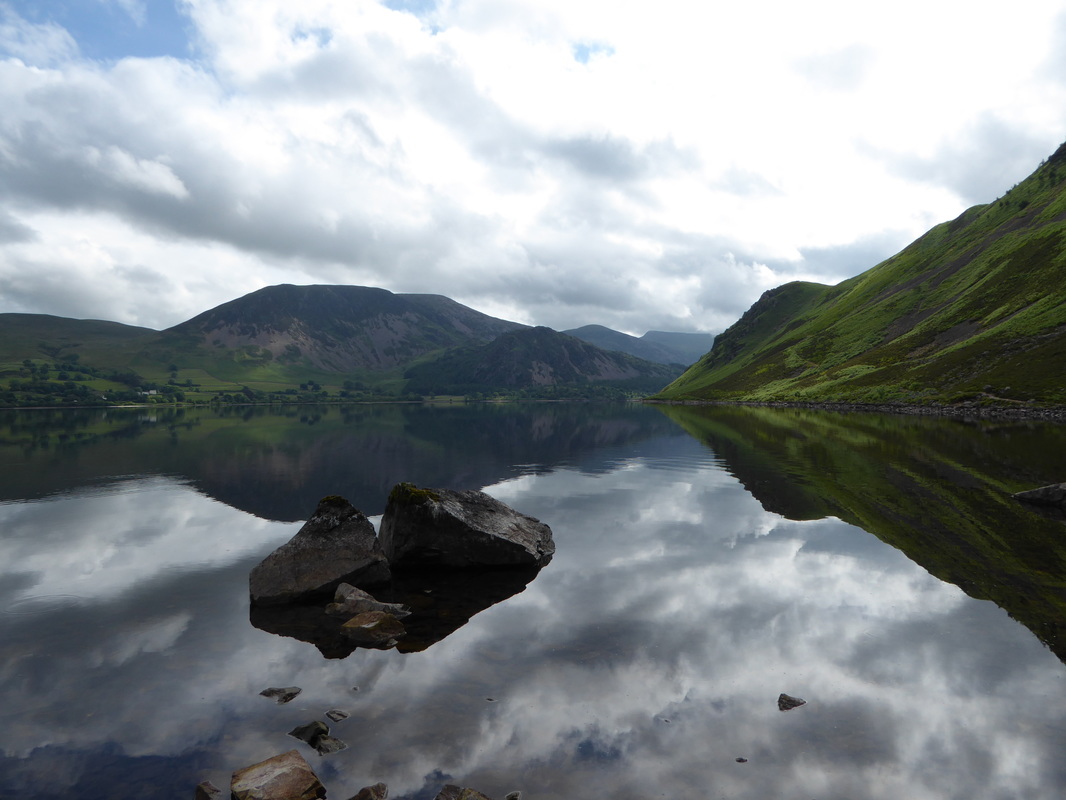
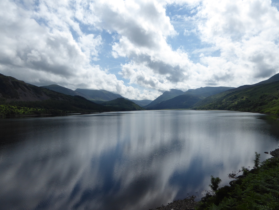
From the western end looking down Ennerdale Water onto what looks like glass
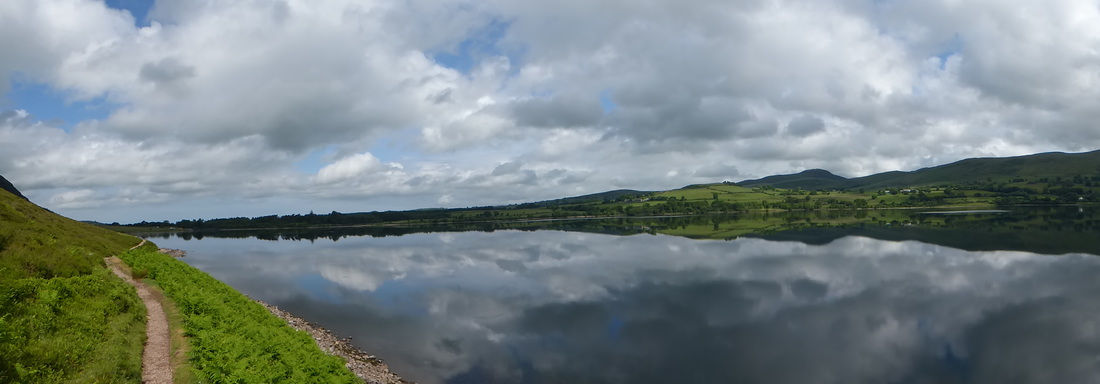
A panorama of Ennerdale Water
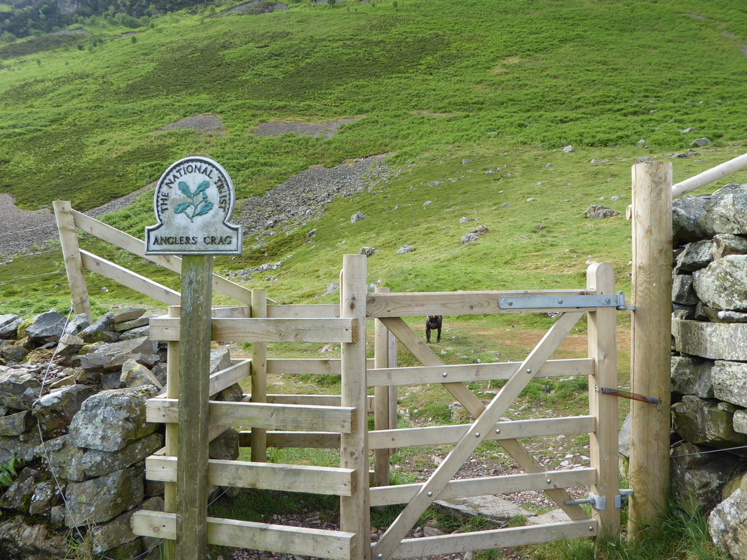
A headless dog at the gate leading to the path we would take along the South Shore to Anglers Crag
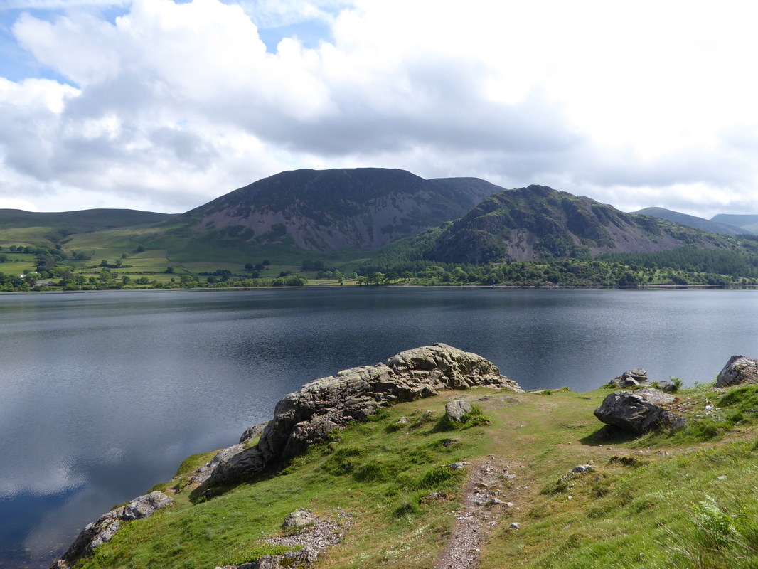
After Fudge had a play in the lake we were off along the path of the South Shore - it undulates and is a bit scrambly below Anglers Crag. It also has a reputation after heavy rain of being a bit muddy and underwater in places. The advice is that if it has been raining constantly for a few days then it is best to opt for the North Shore path - either that or prepare to wade! Care also needed to be taken in the vicinity of Anglers Crag where there is a tricky bit of scrambling to negotiate - we have been over this section on many occasions and just took our time.
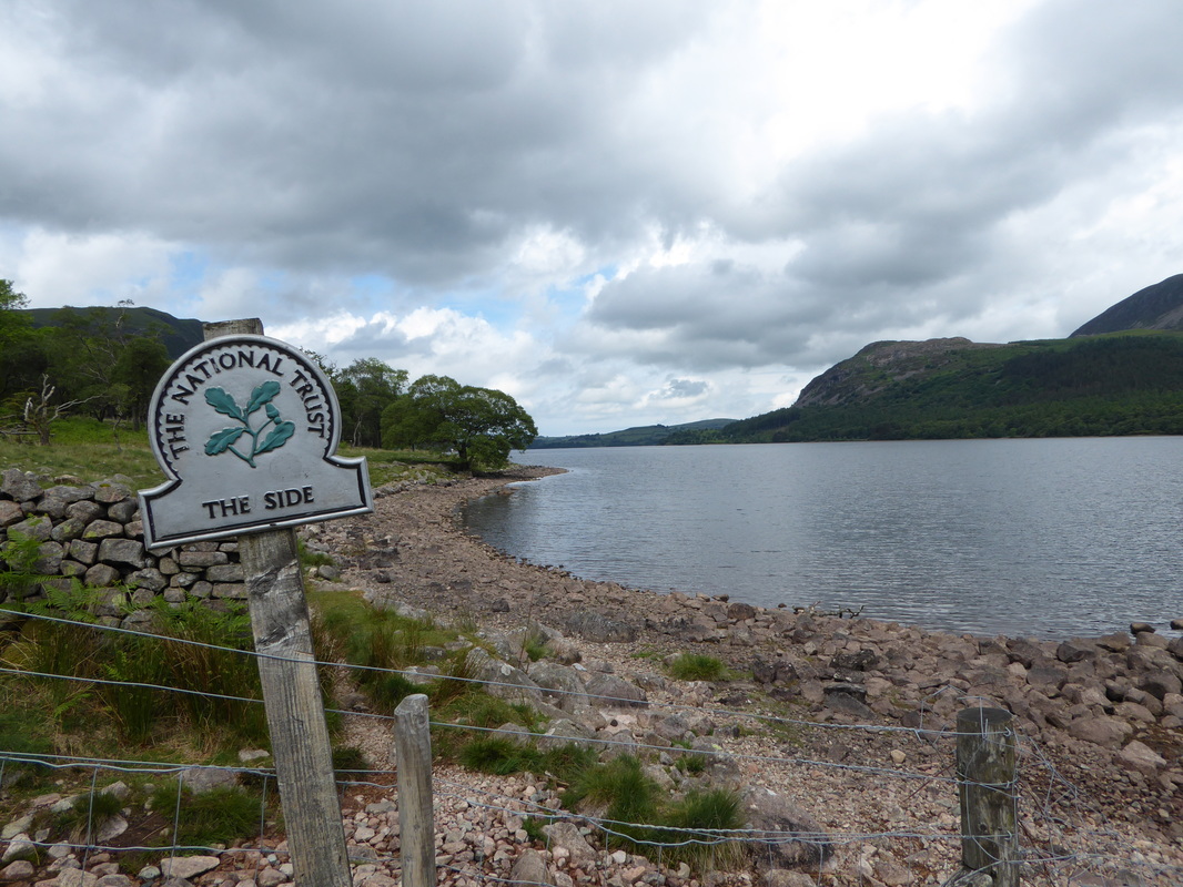
Just after Anglers Crag we passed Michael & Ed who were heading for Rosthwaite - we would see them later at Black Sail. The remainder of the walk along Ennerdale Water passed without incident and as we left The Side the route headed over fields to the bridge spanning the River Liza. At the bridge were Joel & Hannah who had matched our pace on the opposite side of the shore - we had a brief chat with them before starting the 4 mile push along the forest track to Black Sail. Many people do not like this section but we always enjoy this pleasant amble through Ennerdale Forest - especially on a day like today as, although overcast it was very humid.
Just after Anglers Crag we passed Michael & Ed who were heading for Rosthwaite - we would see them later at Black Sail. The remainder of the walk along Ennerdale Water passed without incident and as we left The Side the route headed over fields to the bridge spanning the River Liza. At the bridge were Joel & Hannah who had matched our pace on the opposite side of the shore - we had a brief chat with them before starting the 4 mile push along the forest track to Black Sail. Many people do not like this section but we always enjoy this pleasant amble through Ennerdale Forest - especially on a day like today as, although overcast it was very humid.
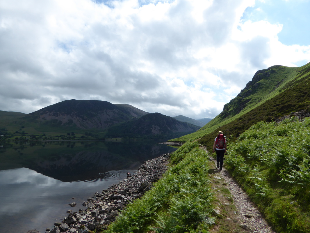
Despite the overcast skies it was starting to get really hot as we headed along the South Shore of Ennerdale Water
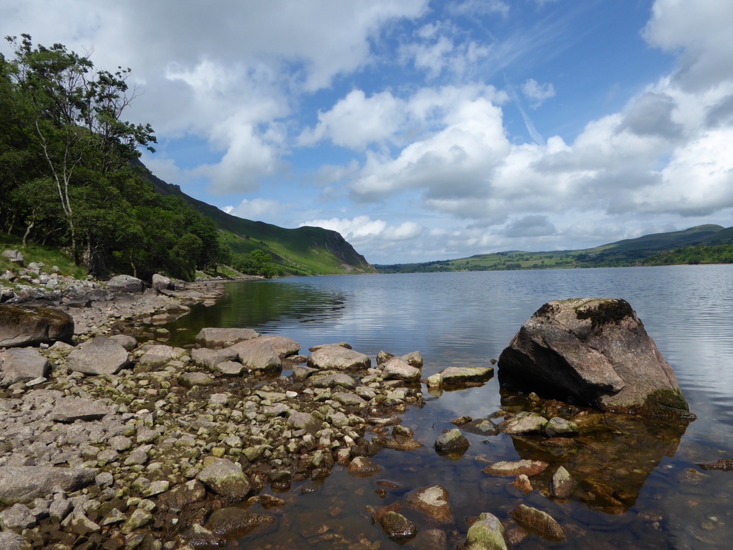
Looking west and over to the North Shore of Ennerdale Water
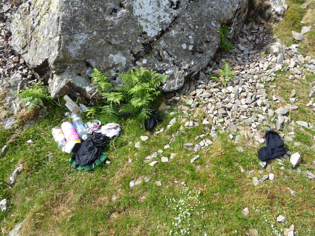
Why oh why do people feel the need to do this? A myriad of detritus left for somebody else to clear up at Robin Hood's Chair. I mean come on - underpants and socks???
Robin Hood's Chair looking to Herdus & Great Borne - Bowness Knott is the lower fell to the right
Looking down Ennerdale Water from below Anglers Crag - the cloud shadows are amazing
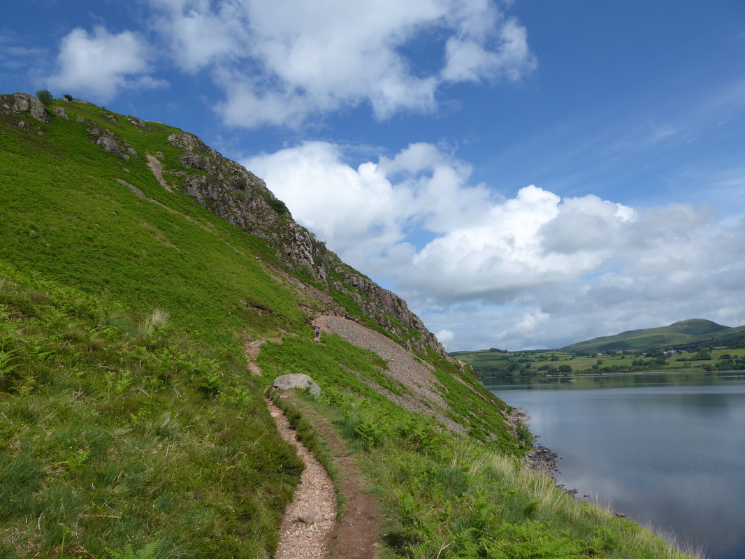
Looking back to the lower slopes of Anglers Crag - there is some scrambling here but providing you take your time it is not overly difficult
The cloud was beginning to clear as we neared the eastern end of Ennerdale Water
The latter part of the shoreline is known as The Side
Joel & Hannah at the bridge over the River Liza. Little did we know it but Hannah was struggling with her leg which would mean both of them having to pull out later in the walk.
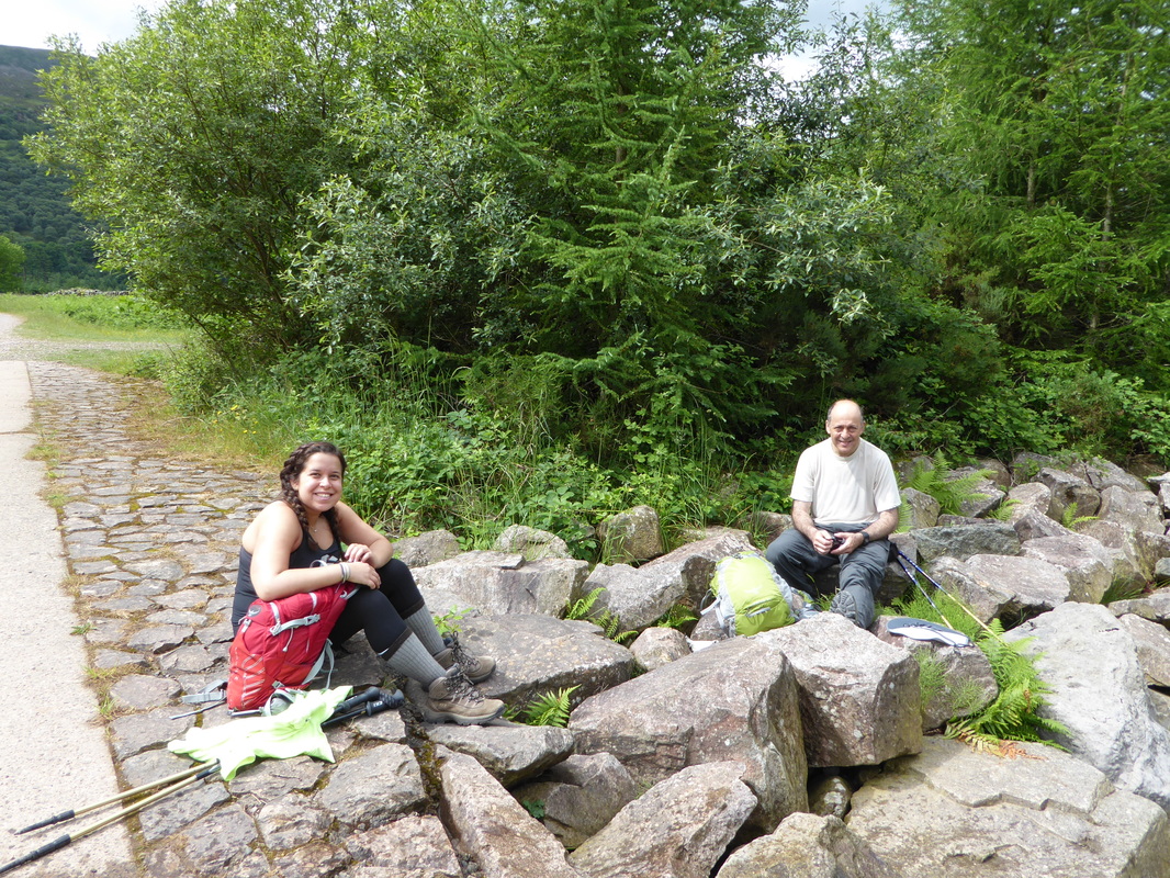
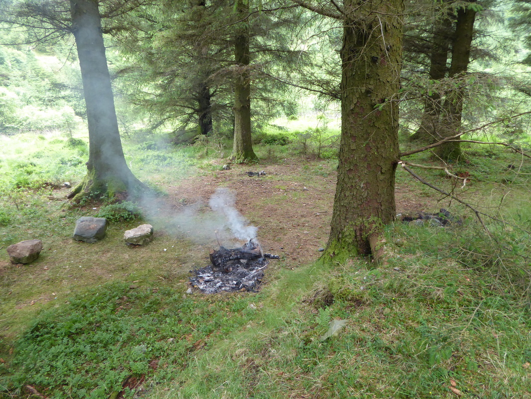
We soon arrived at Ennerdale Youth Hostel where shortly after is the option to follow the High Route over Red Pike, High Stile, High Crag & Haystacks before rejoining the original route above Loft Beck. We had enough walking to do today and despite the lure of a lovely high route we carried on along the forest track, soon bumping into the 4 girls who were resting up on a large log. Shortly after this at a clearing in the forest was a fire that was on its way out - closer inspection revealed the fire was alight on top of a heap of rubbish containing beer cans and the like. We poured a bit of water on it to extinguish the embers before pressing on - two instances of blatant littering within the space of a few miles - what is going on?
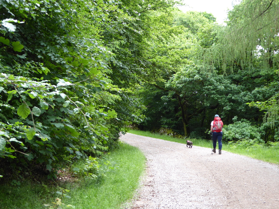
From the bridge over the Liza it was a question of head down for 4 or so miles along the forest track to Black Sail Hut. Fudge is in "bimble mode" again.
Pillar Rock to the left below the summit of Pillar
Probably the same idiots that left all their crap at Robin Hood's Chair - beer cans etc all buried under the fire. We put it out.
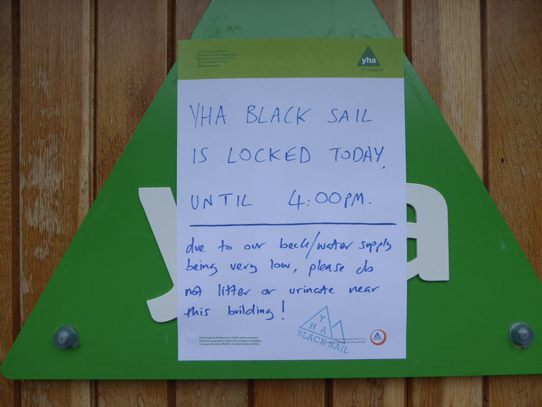
The forest track continued on and we emerged from the canopy of trees, passed the turning up to Scarth Gap to eventually arrive at Black Sail. There were a host of fellow Coast to Coasters here including 4 lads from Edinburgh who we met in Ennerdale Bridge, Paddy & Pamela plus soon after we arrived so did the 4 girls, closely followed by Michael & Ed plus Joel & Hannah. Also at Black Sail were two sisters, Nicole & Karen from the East Midlands who we would see much more of during our walk. Normally at Black Sail, the Youth Hostel is open and sells cake, tea etc however due to the lack of rain in the area they had a low water supply therefore they were closed.
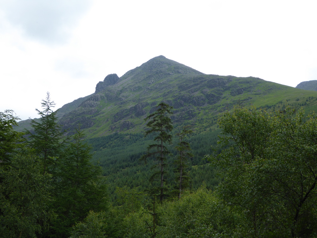
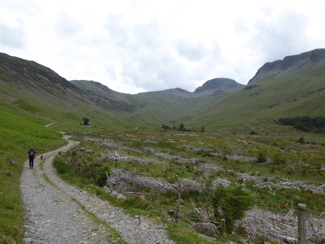
Black Sail Hut ahead - Green and Great Gable are at the head of the valley with Kirk Fell to the right
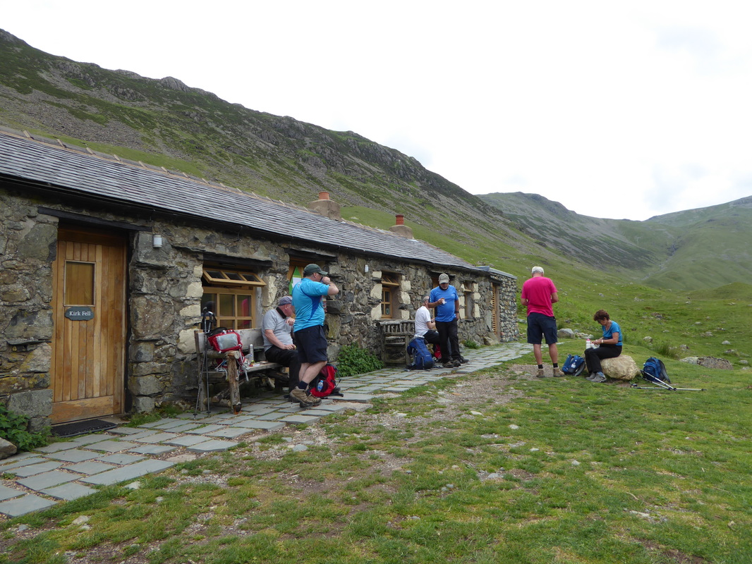
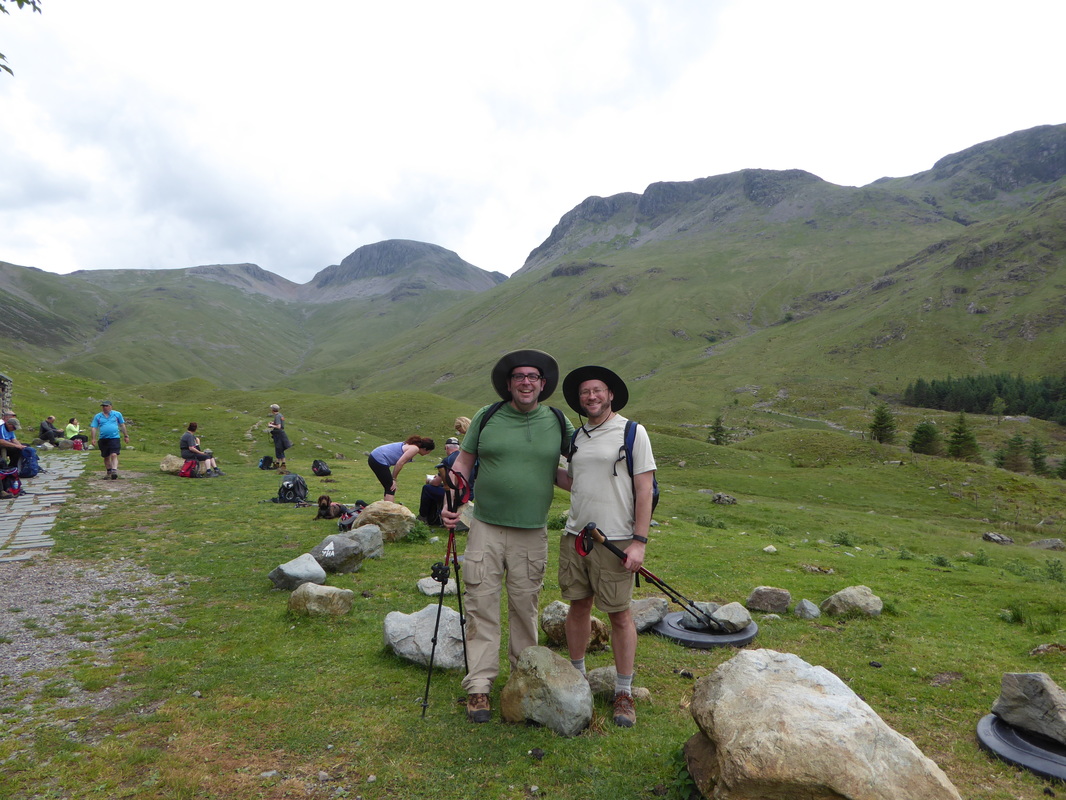
Black Sail Hut. The 4 chaps occupying the benches were from Edinburgh and we would see them a few times over the next few days. Paddy & Pamela are to the right.
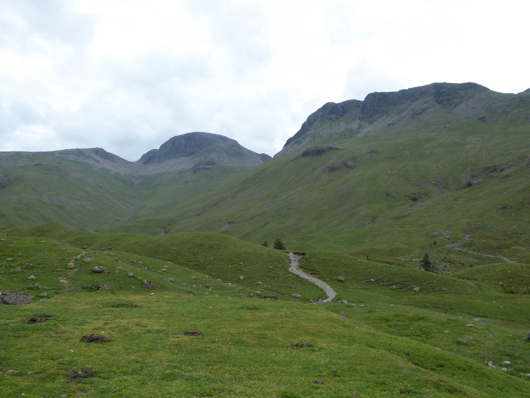
Green Gable, Great Gable & Kirk Fell from Black Sail Hut
Such a shame it was closed - they do a mean Chocolate Cake here
We have been to Black Sail Hut many times and this is the busiest we have seen it - all Coast to Coasters. Michael & Ed are here and the 4 girls are doing some Nav with Dave behind them. This was unfortunately the last time we would see Michael and Ed as our itineraries changed.
Lunch over, it was now time to head over the grassy hillocks known as Drumlins on a vague path to reach the turning for the steep climb up Loft Beck. It was really humid now and this ascent would be pretty tough today - plenty of opportunities to "hat dip" all the way up with the Beck for company. At the top of the beck we caught up with Paddy & Pamela and headed over the flank of Grey Knotts on a good path to reach the ruin of the Drum House above Honister. It was at the Drum House we bumped into the two Americans who were trying to find a taxi in Cleator - they obviously found one!
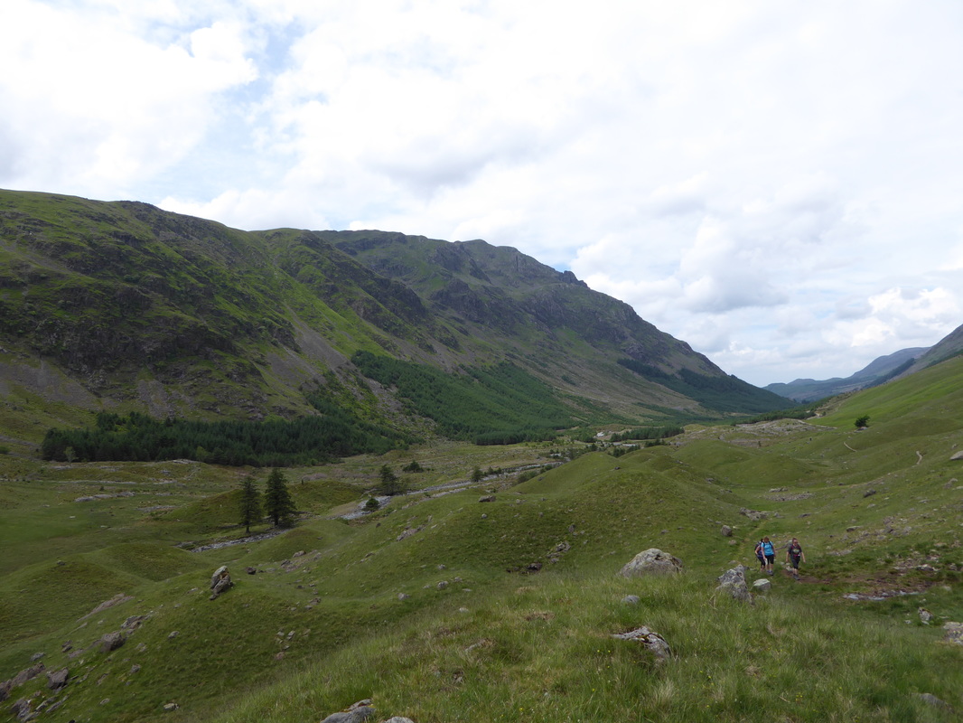
Looking back over the Drumlins towards Black Sail on the path to Loft Beck - it was getting really humid now
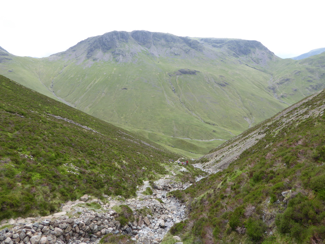
Heading to the sharp left turn which leads to the steep climb up Loft Beck. In poor visibility people have been known to miss this turning and end up at Windy Gap between Green & Great Gable
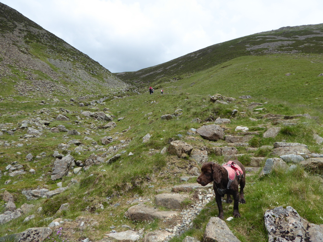
The start of the steep descent up the side of Loft Beck - Fudge was hot now but luckily for him he was in and out of the beck all the way up.
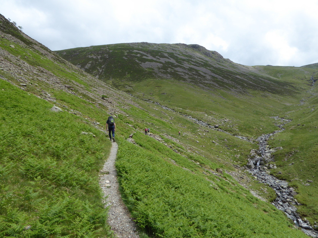
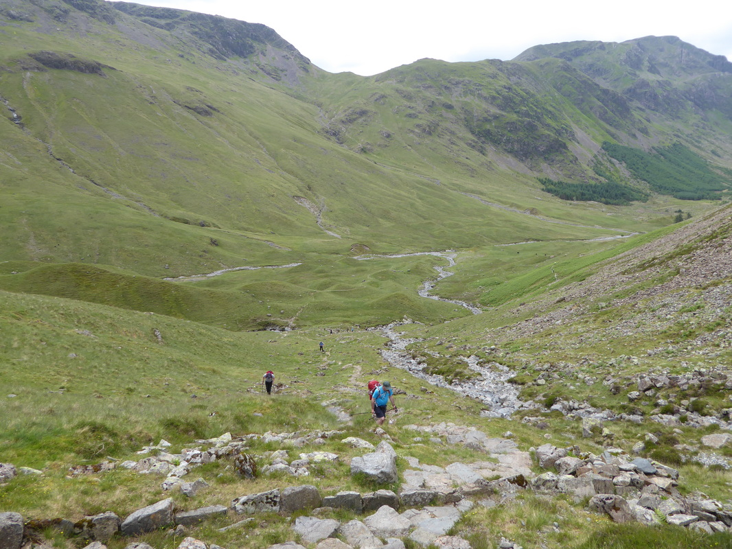
Looking down the Loft Beck path from near the top of the climb - this was hard work in the humid conditions
Kirk Fell
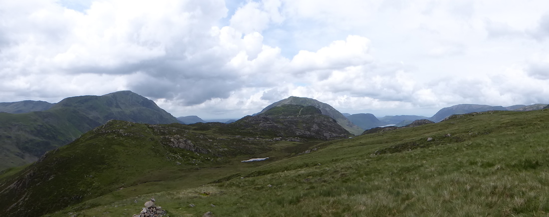
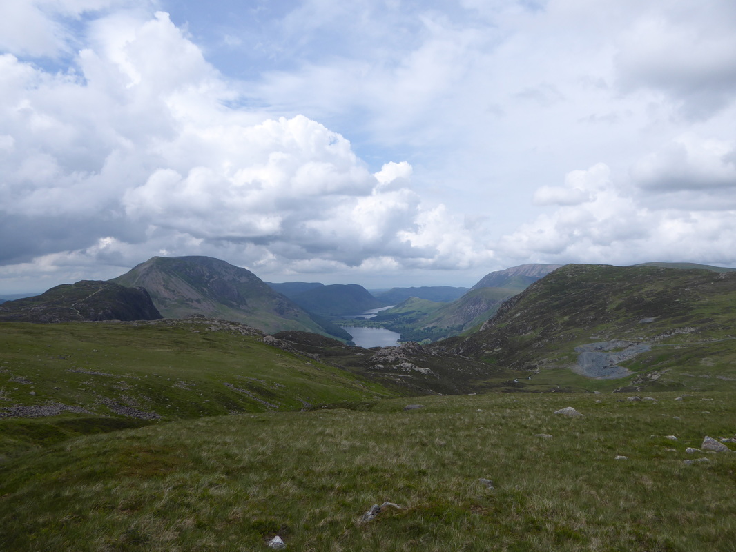
At the top of the climb is this glorious view of Pillar, Haystacks & High Crag, amongst others
L-R - Haystacks, High Crag, Mellbreak, Buttermere, Crummock Water, Grasmoor & Fleetwith Pike
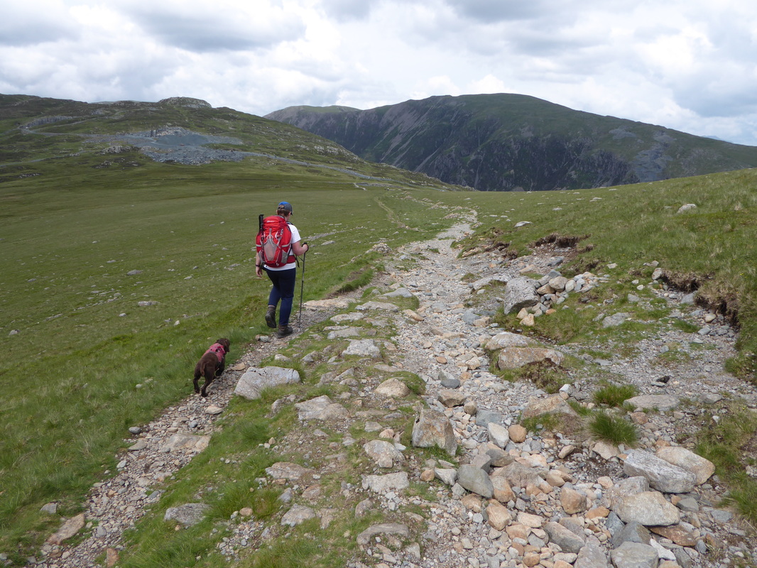
Heading for Drum House looking to Dale Head
Approaching Drum House - the two Americans we saw trying to catch a taxi in Cleator were sat having a break there
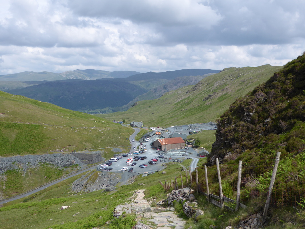
Leaving the Drum House it was now time to make the descent to Honister Slate Mine and a welcome drink - although a cold drink here last time proved impossible! Reaching the Car Park it was clear that business was booming and there were people everywhere - we found a seat and enjoyed a nice cold drink before heading off up the Pass to reach the path over the former Toll Road. The remaining stroll down into Seatoller was very pleasant and we arrived at Seatoller House at about 1615. We had an Evening Meal booked here therefore after checking in we headed for the small but extremely well stocked bar for a refreshing Loweswater Gold for me and a Diet Coke for Angie. No other Coast to Coasters were staying here but the place was full and after a shower we had a very impressive 5 course meal in the company of the other guests. Sleep came very easy tonight.
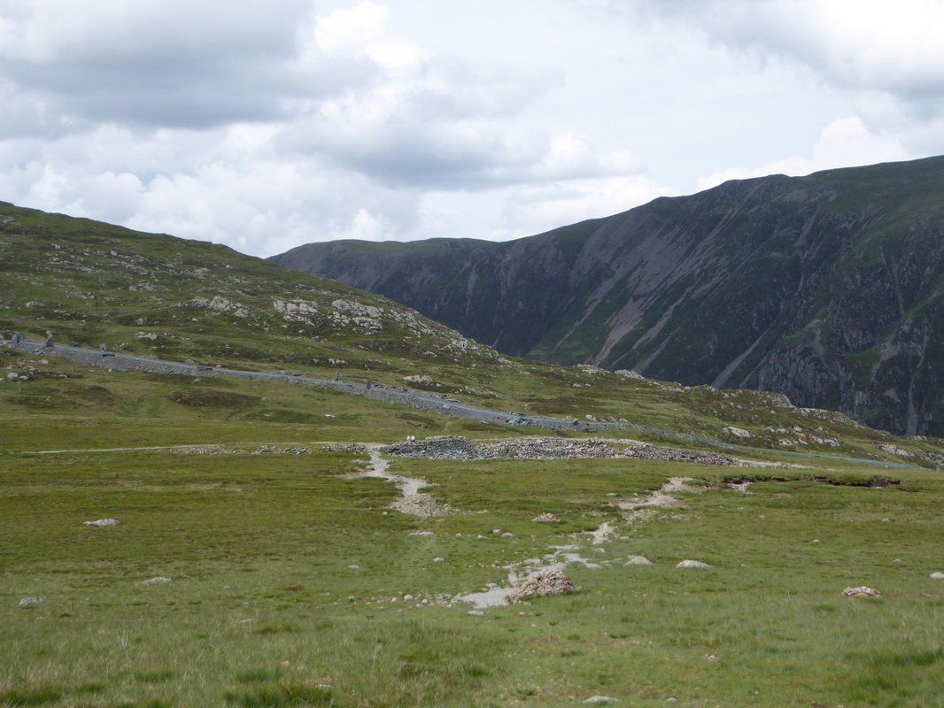
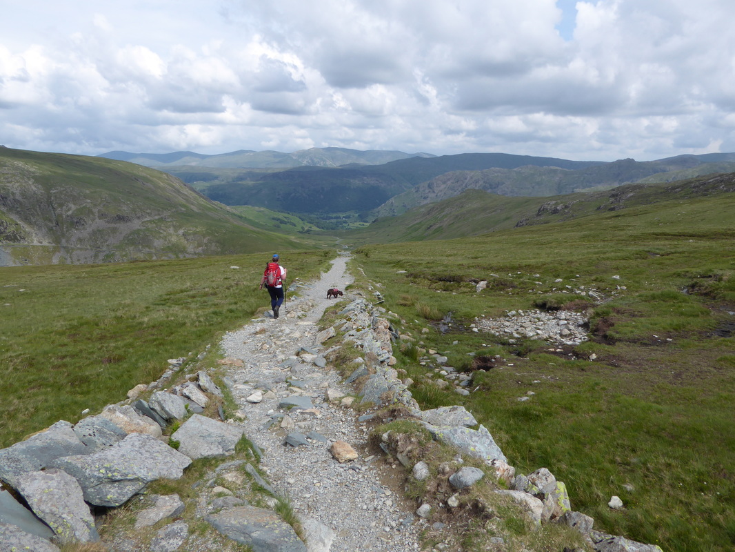
On Wainwright's "straightest mile in Lakeland" - the path down to Honister Slate Mine
Looks a bit busy down there today - and it was
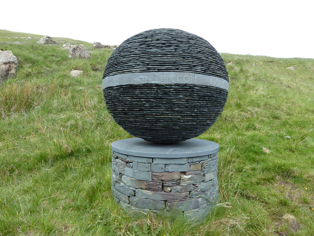
Amazing what can be made out of slate
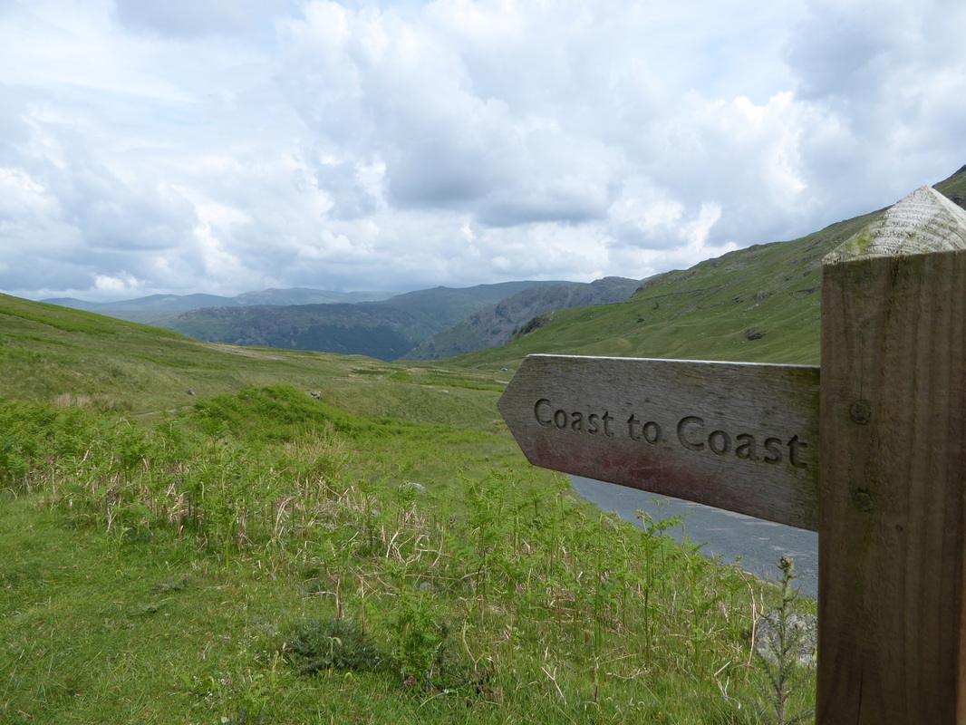
A very rare thing indeed - a Coast to Coast sign within the Lake District National Park
Rosthwaite Fell
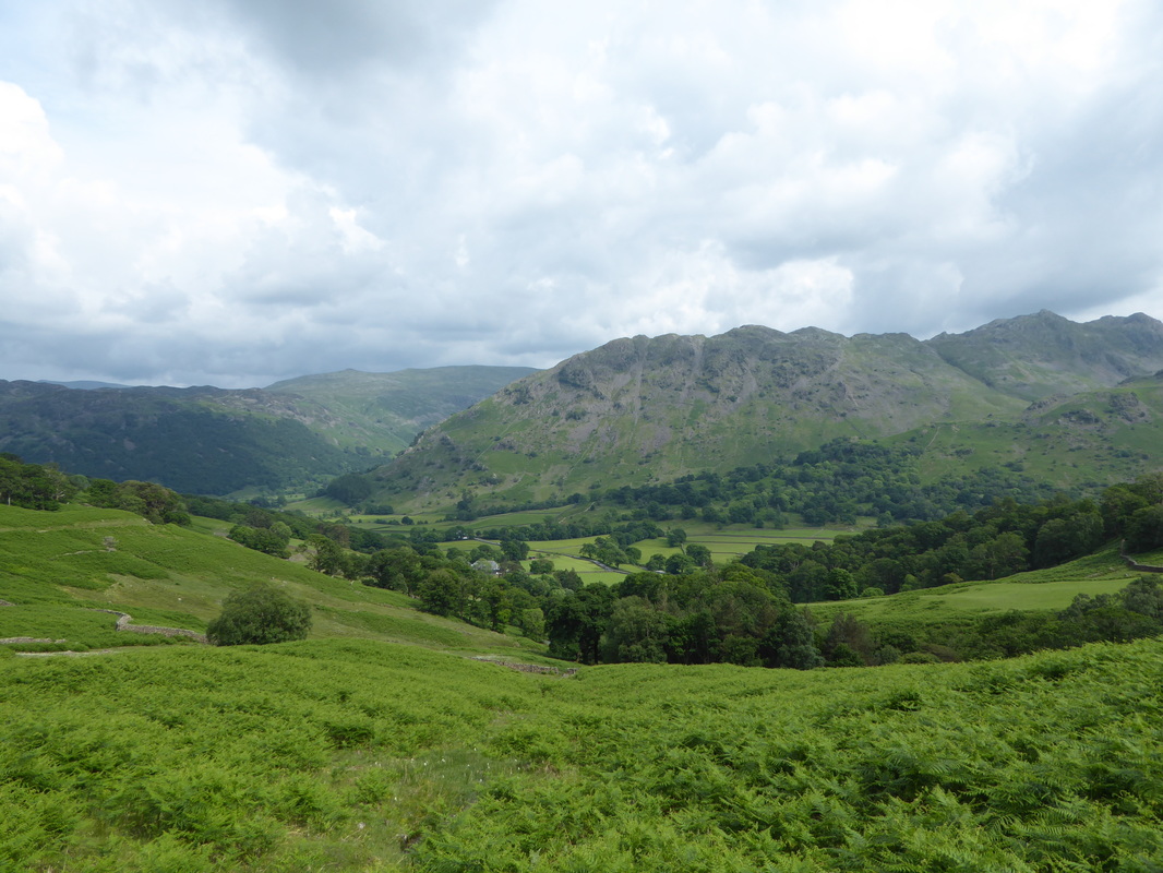
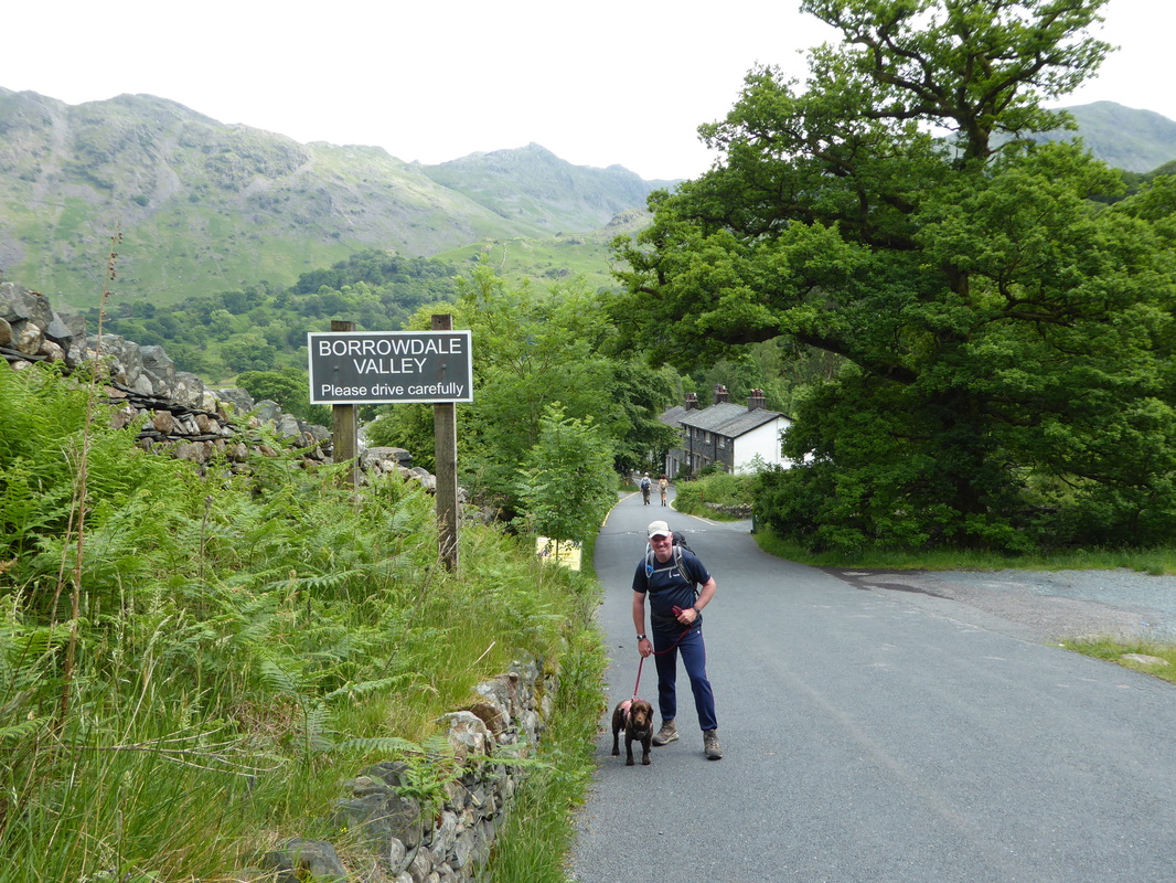
Arriving in Seatoller in the beautiful Borrowdale Valley
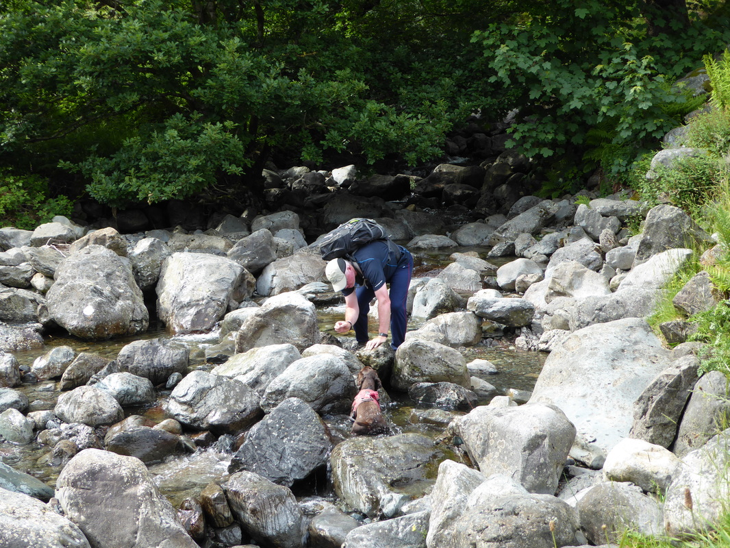
As is custom - trying to give Fudge a wash off before arriving at the B&B - except he wants to muck about as usual
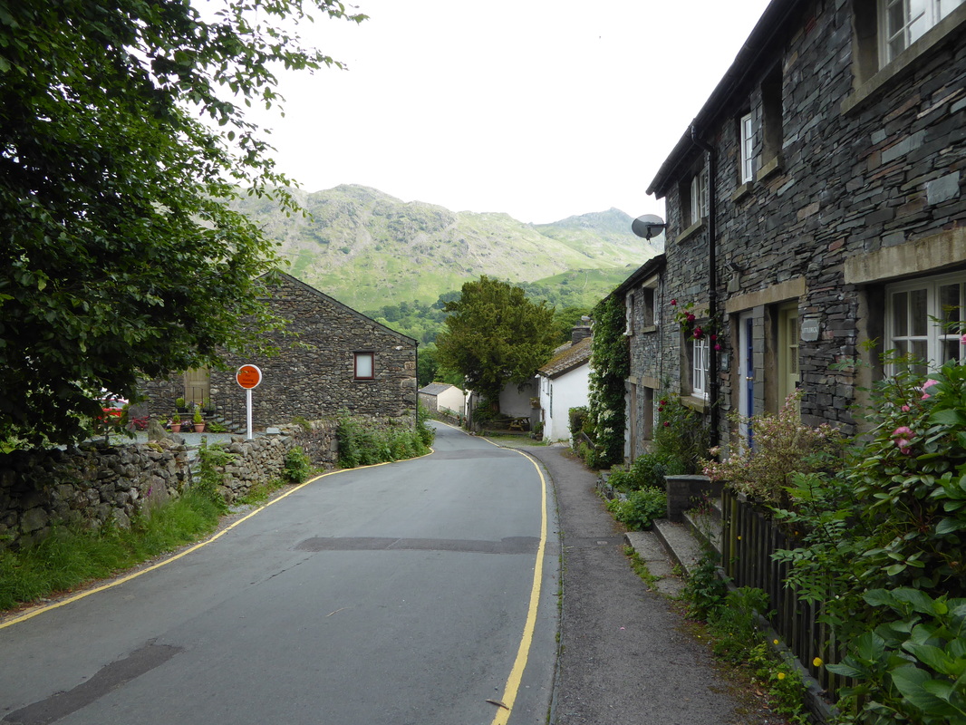
Seatoller
Overnight Accommodation
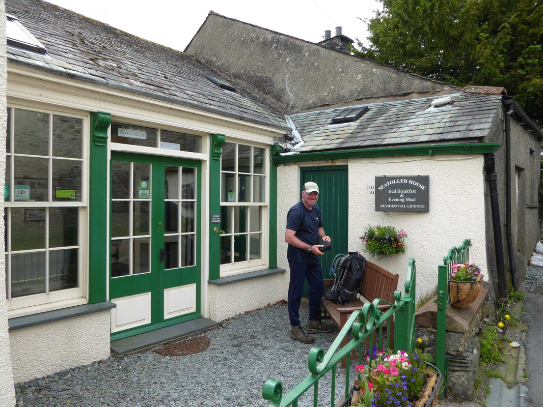
Seatoller House, Seatoller - www.seatollerhouse.co.uk
Managed by Nigel & Trish who looked after us extremely well - we really enjoyed our stay here. The tariff was reasonable and our evening meal was very good indeed. The house is beautifully kept considering it is over 300 years old. We would definitely return here at some point in the future.
Managed by Nigel & Trish who looked after us extremely well - we really enjoyed our stay here. The tariff was reasonable and our evening meal was very good indeed. The house is beautifully kept considering it is over 300 years old. We would definitely return here at some point in the future.
Day 2 Data
|
Mileage
Cumulative Mileage Time Cumulative Time Maximum Ascent Total Ascent Cumulative Ascent |
13.4 miles
28 miles 7 hrs 13 hrs 52 min 2014 feet 3152 feet 5983 feet |
