Stone Arthur, Great Rigg & Fairfield - Wednesday 27 March 2019
Route
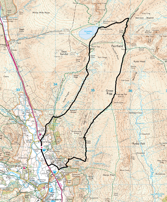
Traveller's Rest - Grasmere - Stone Arthur - Great Rigg - Fairfield - Cofa Pike - Deepdale Hause - Grisedale Tarn - Hause Gap - Tongue Gill - Mill Bridge - Traveller's Rest
Parking
The Traveller's Rest Pub Car Park on the A591 - Grid Ref NY336089 (nearest postcode is LA22 9RR)
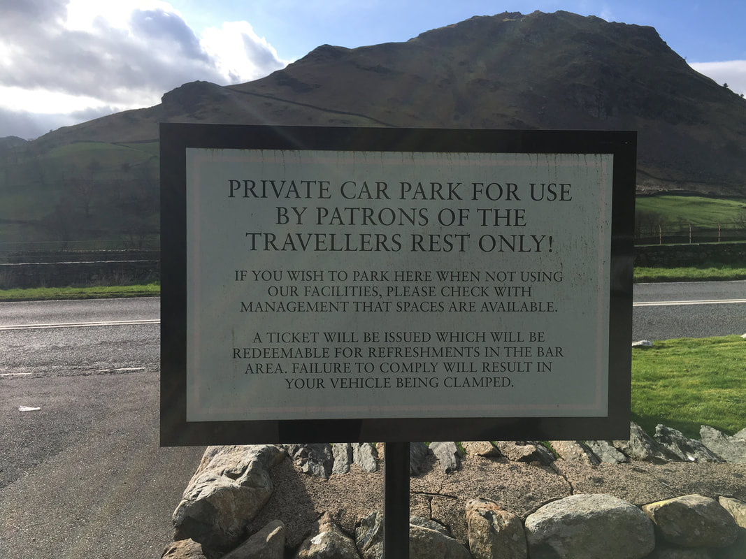
(Please discuss parking with the pub staff - they are happy for you to use the Car Park as long as you visit the pub on completion of your walk). Their parking fee (currently £5) can be deducted from the purchase of drinks (see picture below).
Mileage
7.3 miles
Terrain
Good mountain paths with some steep sections both in ascent & descent. Care needs to be taken on the descent from Fairfield to Cofa Pike and from there to Deepdale Hause. The summit of Fairfield can be a very confusing place in mist or low cloud therefore make sure you are navigationally proficient should there be no visibility on the summit.
Weather
Overcast with the odd sunny spell. Visibility was good throughout.
Time Taken
4hrs 45mins
Total Ascent
2857ft (871m)
Wainwrights
3
Map
OL5 - The English Lakes - North Eastern Area
Walkers
Dave, Angie & Fudge
|
GPX File
|
| ||
If the above GPX file fails to download or presents itself as an XML file once downloaded then please feel free to contact me and I will send you the GPX file via e-mail.
Walk Description
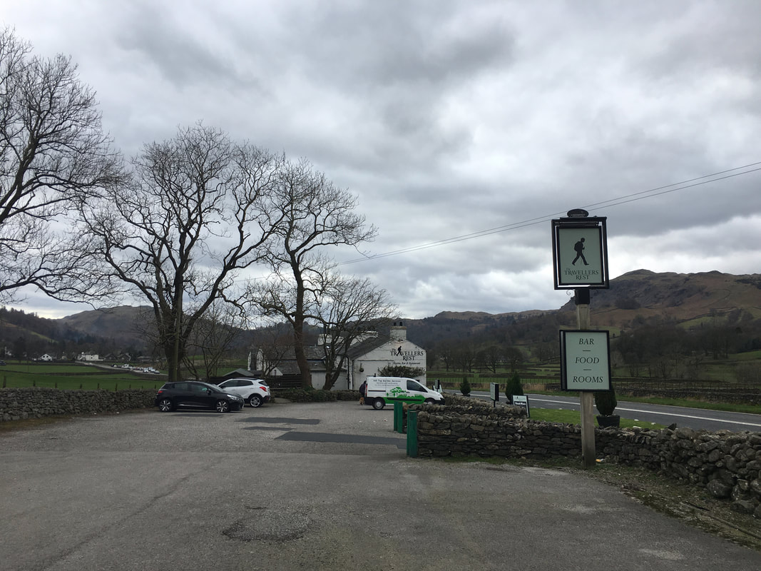
The Traveller's Rest pub on the A591 just before Grasmere. There are lots of places along the road where you can park - some free and some that charge but we always start here as it is away from the road and sort of like forces us to go in at the end of the walk and have a beer in order to redeem our £5!
A great idea. The Traveller's Rest is a proper Lakeland pub and a great place to have that post walk pint and maybe a bite to eat.
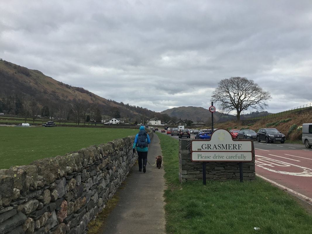
Crossing over the border into Grasmere.
The walk does not actually visit the village but it is close enough for a quick detour if you fancy it.
The walk does not actually visit the village but it is close enough for a quick detour if you fancy it.
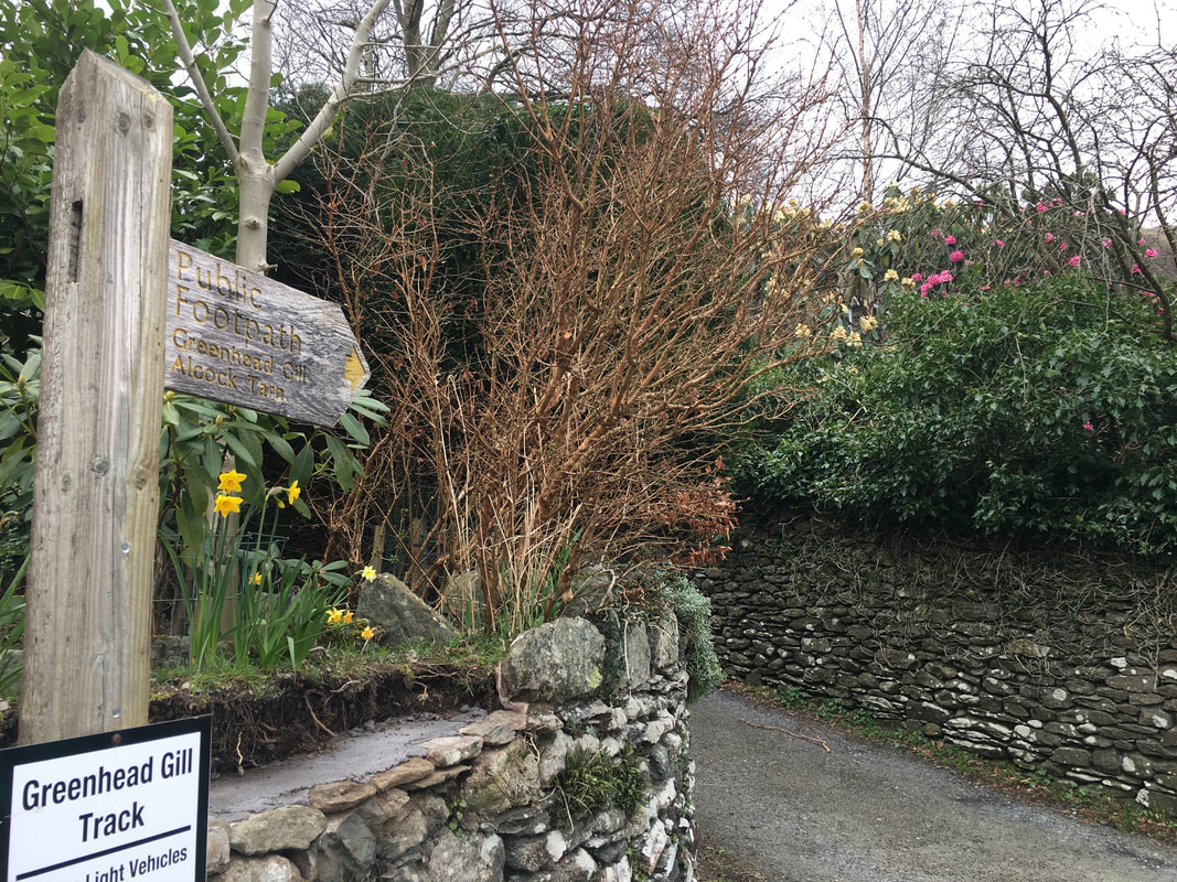
The route turns left off the A591 to head up a lane where after a couple of hundred yards a sign pointing the way to Greenhead Gill is reached.
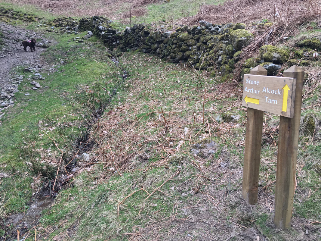
As usual Fudge's in-built GPS system kicked in. Half the time I don't need a map, compass or GPS - I just follow him!
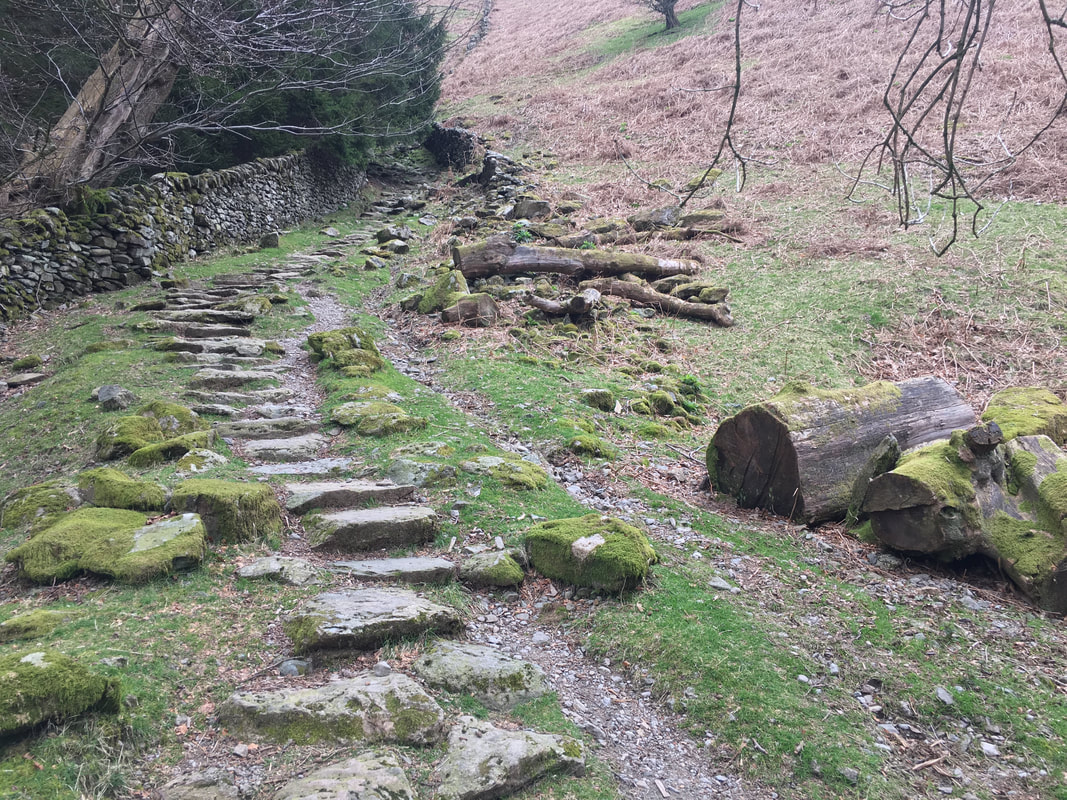
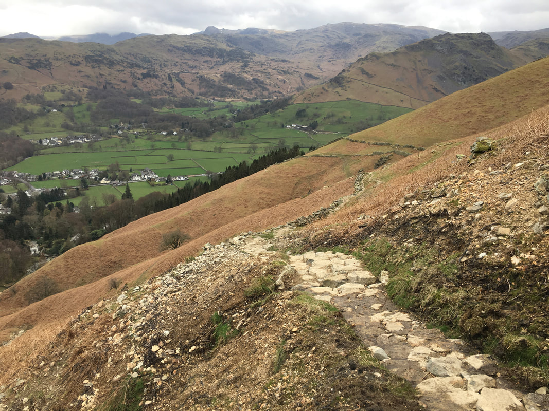
A good path handrailing a wall leads the way up the fell side
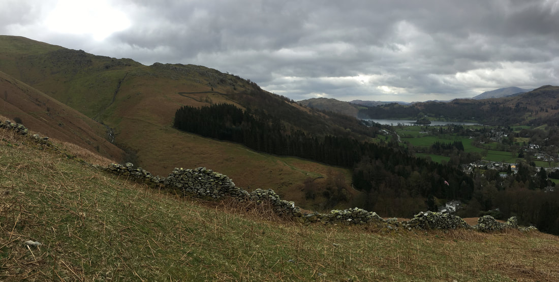
Looking to Grasmere from the ascent of Stone Arthur.
We knew it wasn't going to be a good day for photography however the bonus was that it wasn't chucking it down and at least we were out.
We knew it wasn't going to be a good day for photography however the bonus was that it wasn't chucking it down and at least we were out.
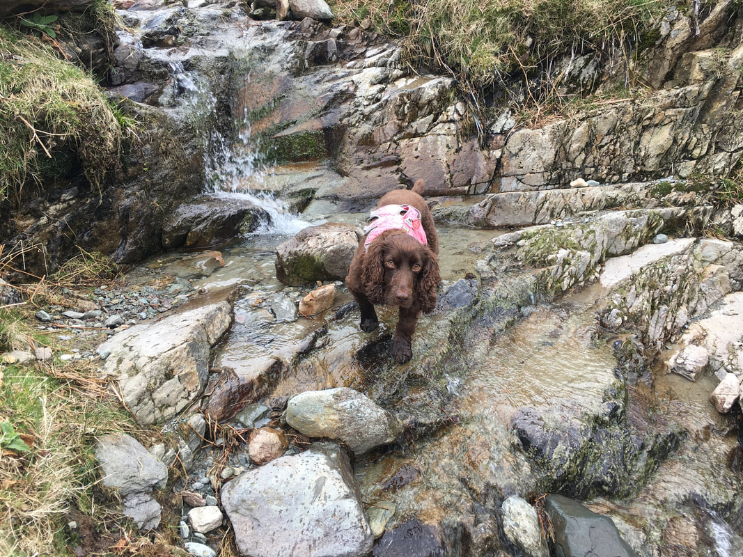
Water & fells - the perfect combination for Fudge
Looking back down the ascent of Stone Arthur.
Helm Crag is to the right with the Langdale Pikes in the far distance.
Helm Crag is to the right with the Langdale Pikes in the far distance.
Still gloomy as we look back to the lower slopes of Heron Pike with Alcock Tarn just about visible
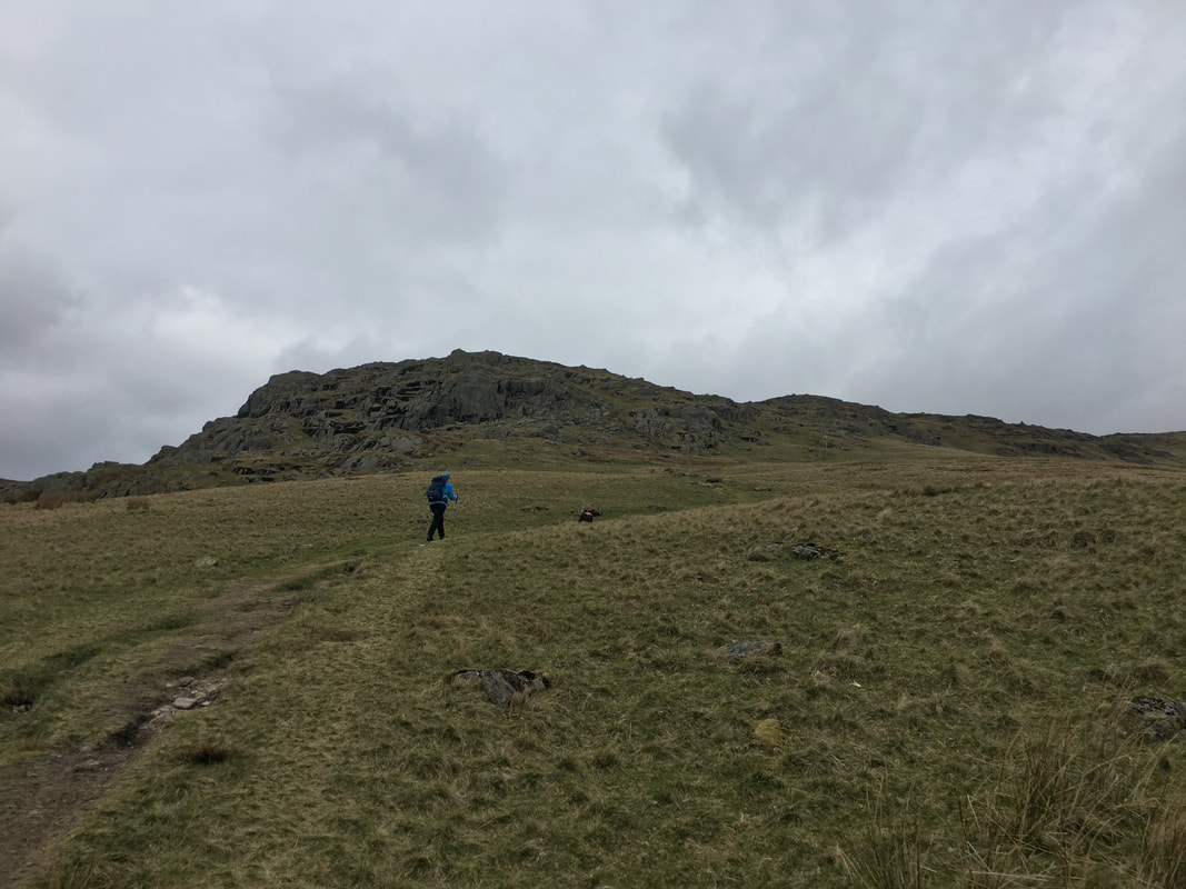
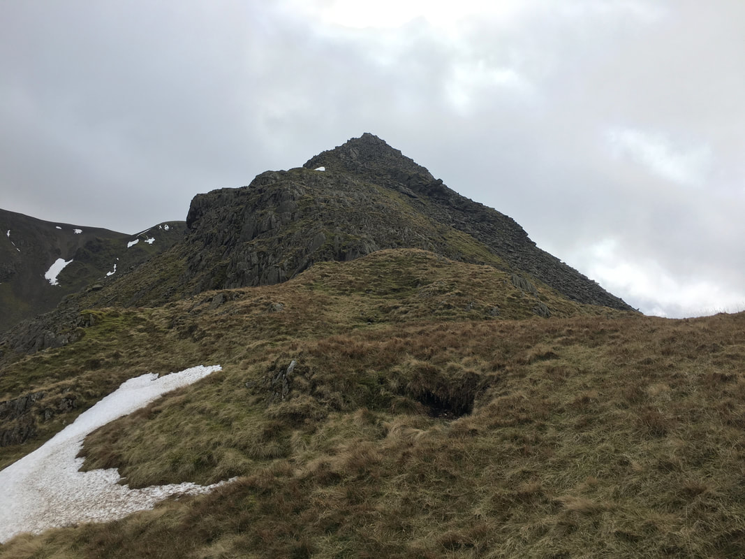
Approaching the summit of Stone Arthur
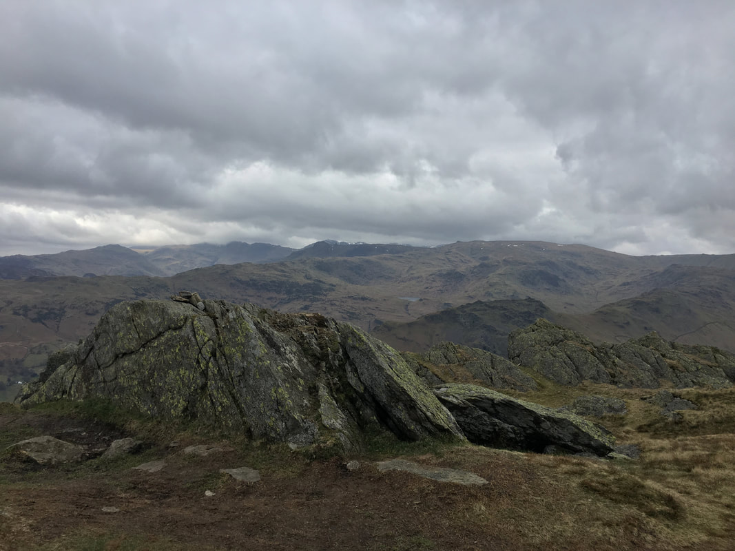
The rock outcrop marking the summit of Stone Arthur
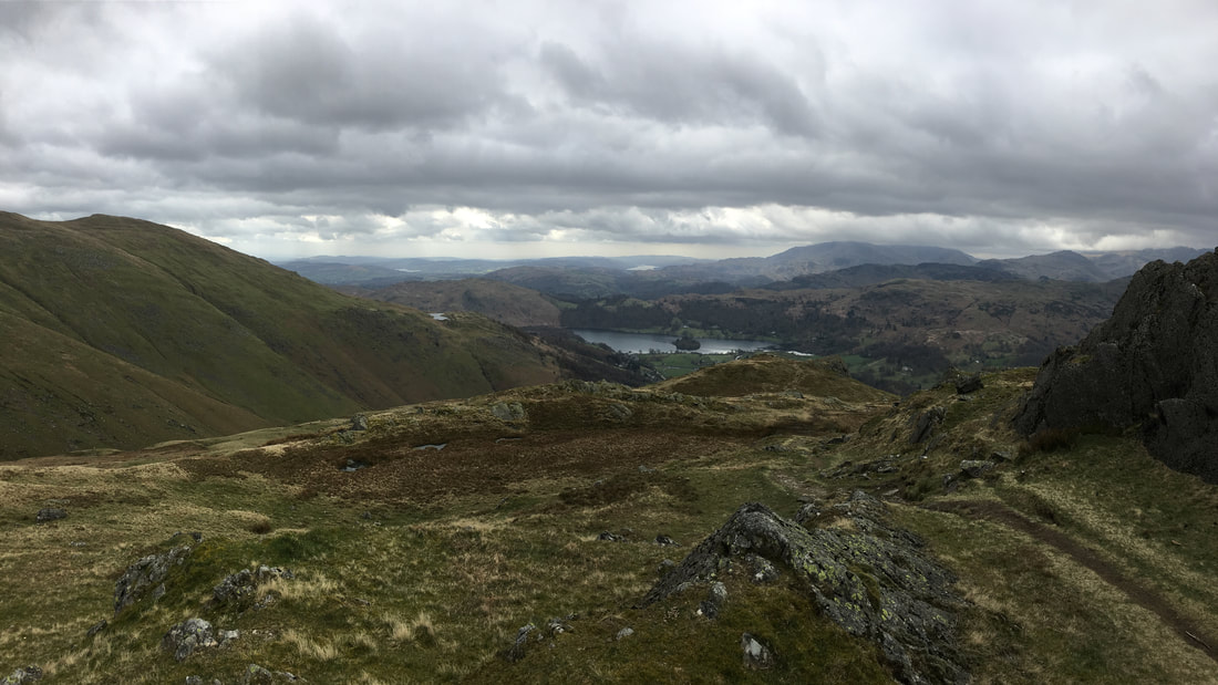
Looking to Grasmere Water from the summit of Stone Arthur
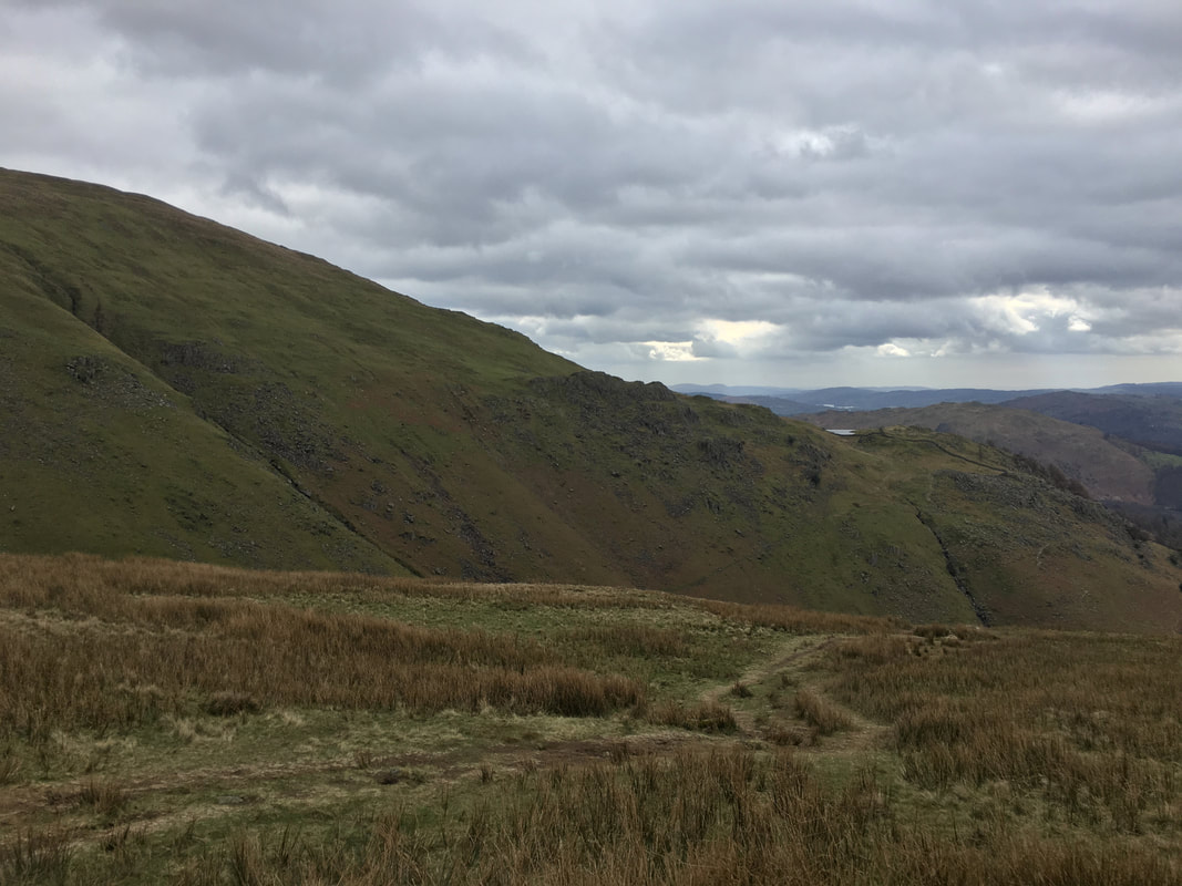
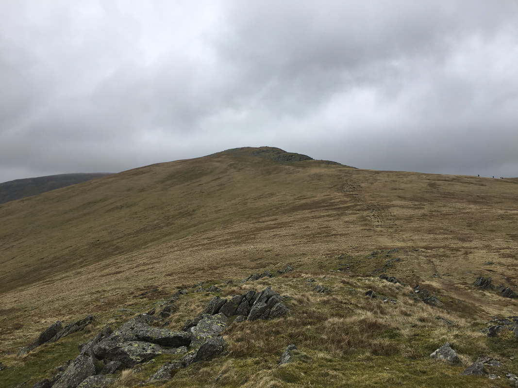
Looking to our next summit of Great Rigg from Stone Arthur.
The walkers seen to the right are coming up from Heron Pike and are probably walking the Fairfield Horseshoe.
The walkers seen to the right are coming up from Heron Pike and are probably walking the Fairfield Horseshoe.
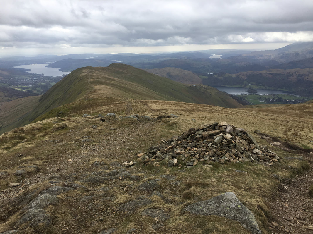
A marker cairn at the junction of paths leading up from Heron Pike & Stone Arthur
Looking to Hart Crag across Rydal Head
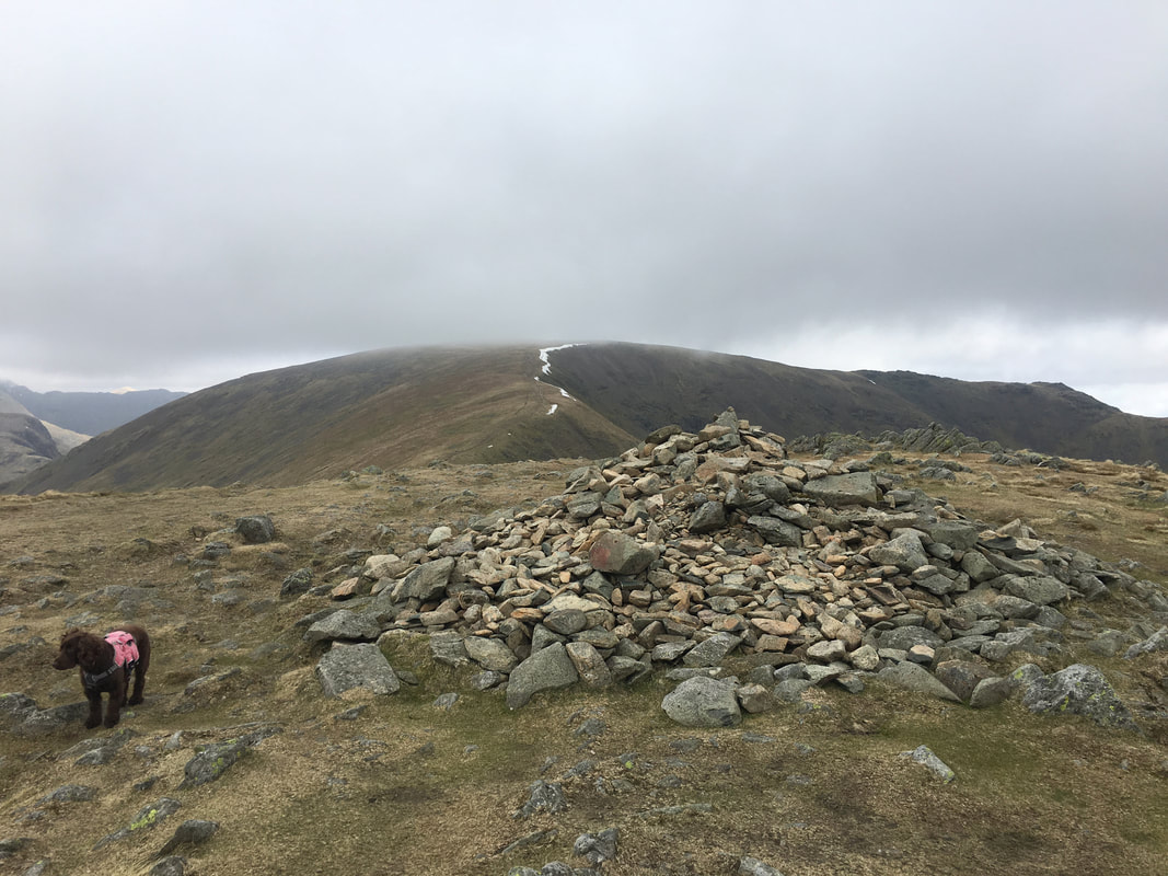
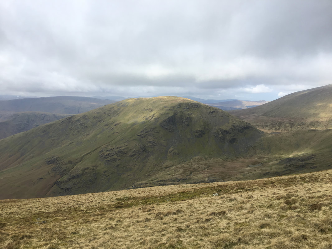
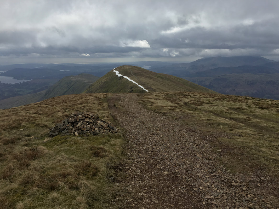
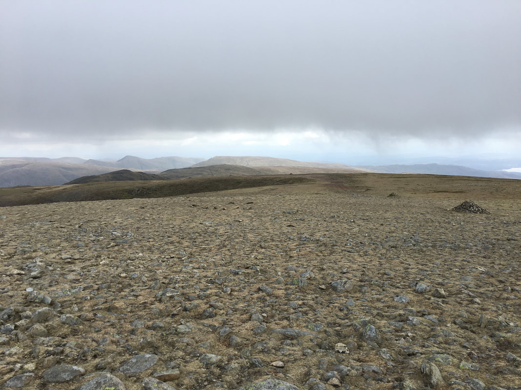
The summit of Great Rigg looking to Fairfield.....................
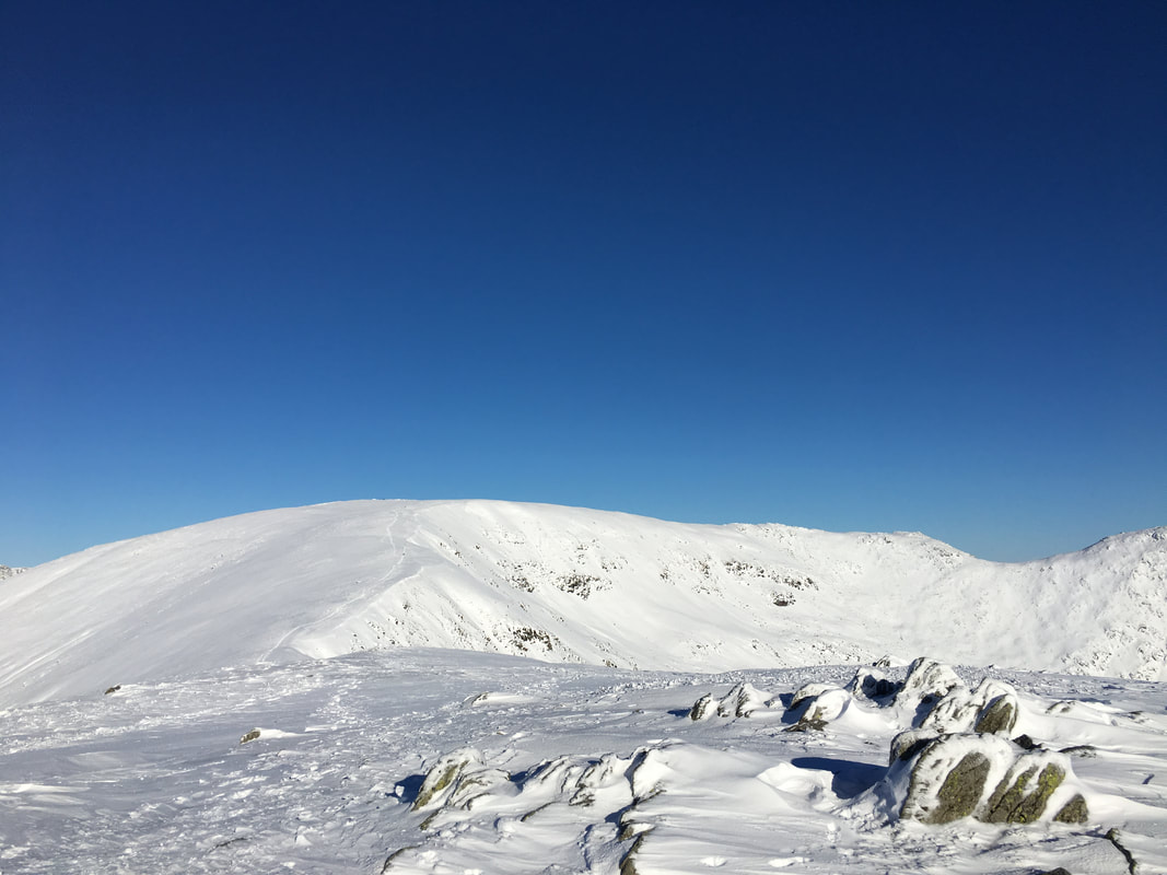
....... and the same view from virtually the same spot a couple of months ago.
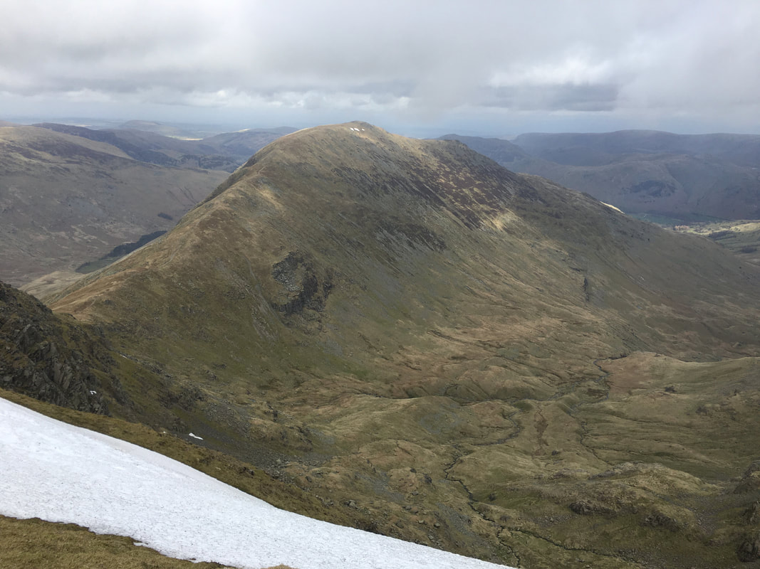
Fairfield, Scrubby Crag, Link Hause, Hart Crag & Dove Crag from Great Rigg
Seat Sandal
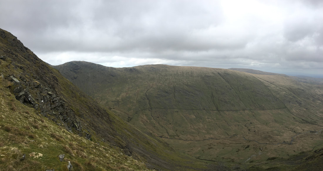
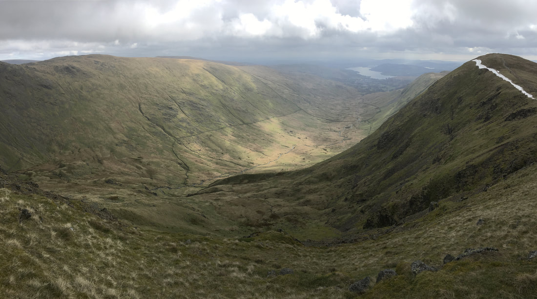
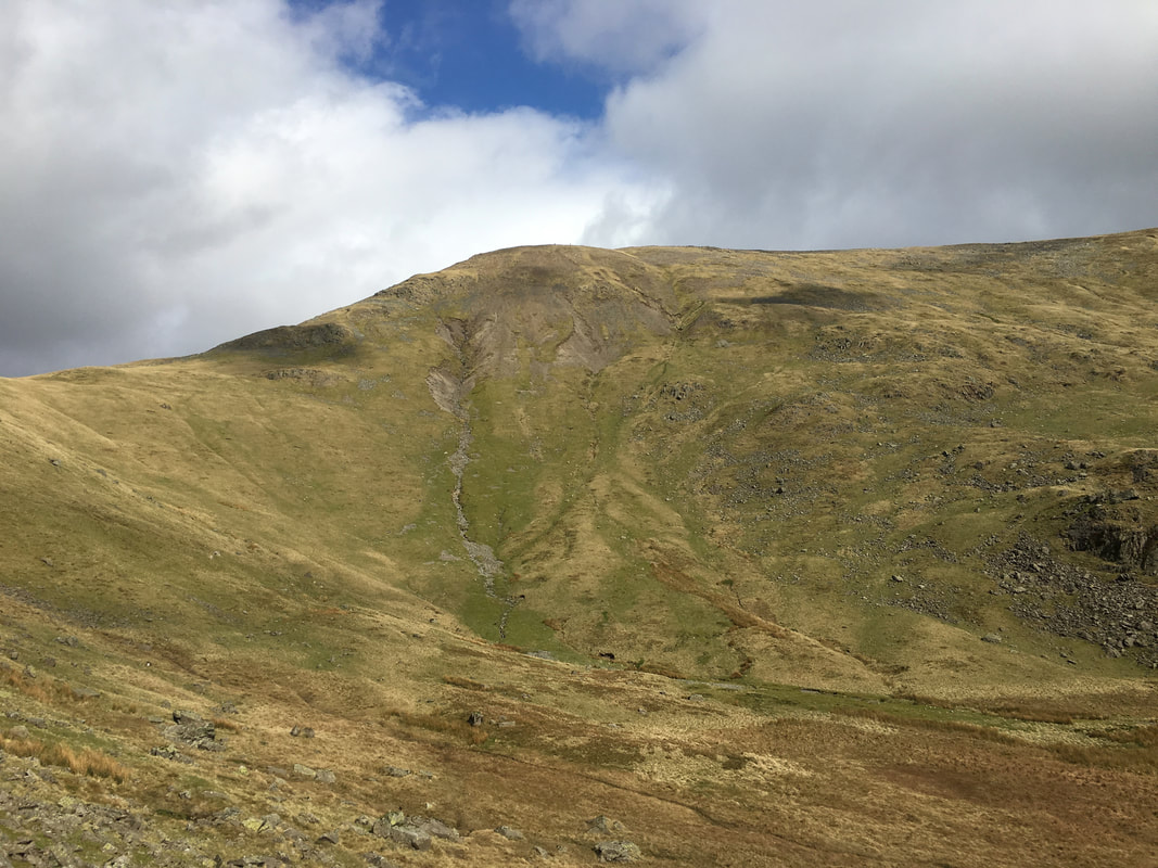
The valley of Rydal Beck from the approach to Fairfield
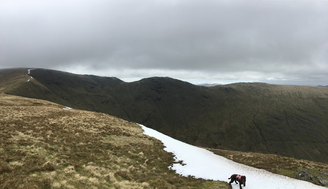
Looking back to Great Rigg from near the summit of Fairfield - we weren't having much luck with the light today.
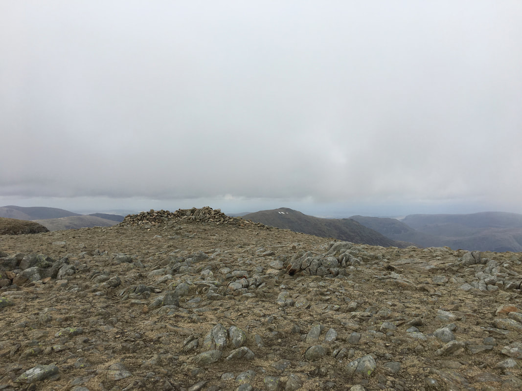
The summit of Fairfield
The line of cairns on the summit of Fairfield showing the way to/from Hart Crag for those walking the Fairfield Horseshoe.
As stated earlier, in mist these cairns cannot be seen therefore it pays to be navigationally aware when on the summit and the visibility is poor.
As stated earlier, in mist these cairns cannot be seen therefore it pays to be navigationally aware when on the summit and the visibility is poor.
St Sunday Crag from the summit of Fairfield
From Fairfield we could have made a direct descent down to the west to reach Grisedale Hause resulting in a shorter walk.
However Cofa Pike is well worth a visit and Grisedale Tarn can be reached from Deepdale Hause.
However Cofa Pike is well worth a visit and Grisedale Tarn can be reached from Deepdale Hause.
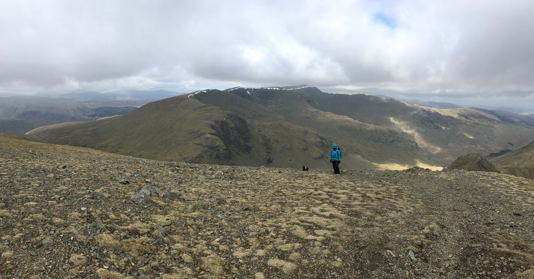
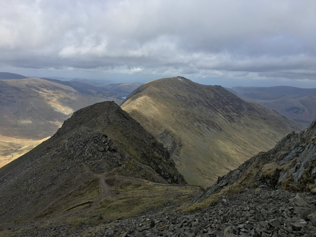
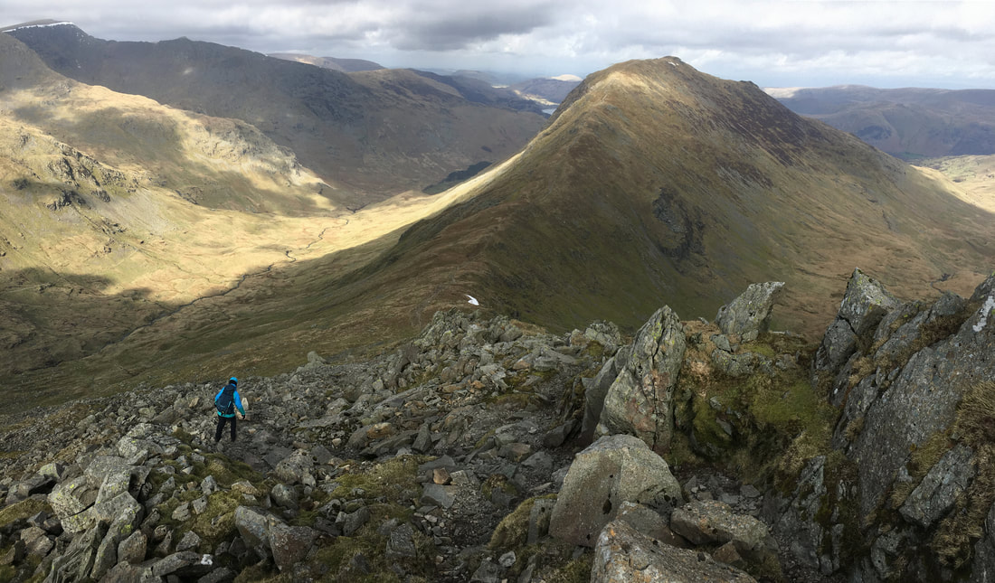
Descending from Fairfield to Cofa Pike
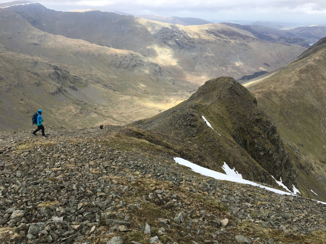
Further on down the descent from Fairfield to Cofa Pike with St Sunday Crag behind - if you haven't climbed Cofa Pike then do it.
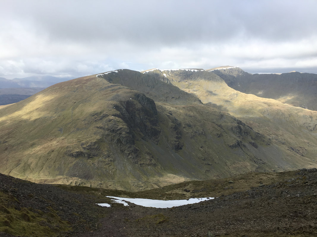
Dollywagon Pike, High Crag, Nethermost Pike, Helvellyn & Striding Edge from Cofa Pike
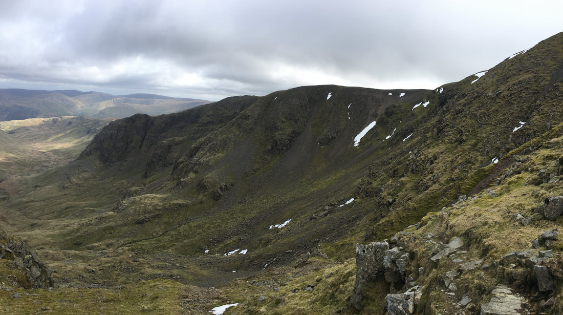
Cawk Cove
The summit of Cofa Pike with our route down from Fairfield to the rear
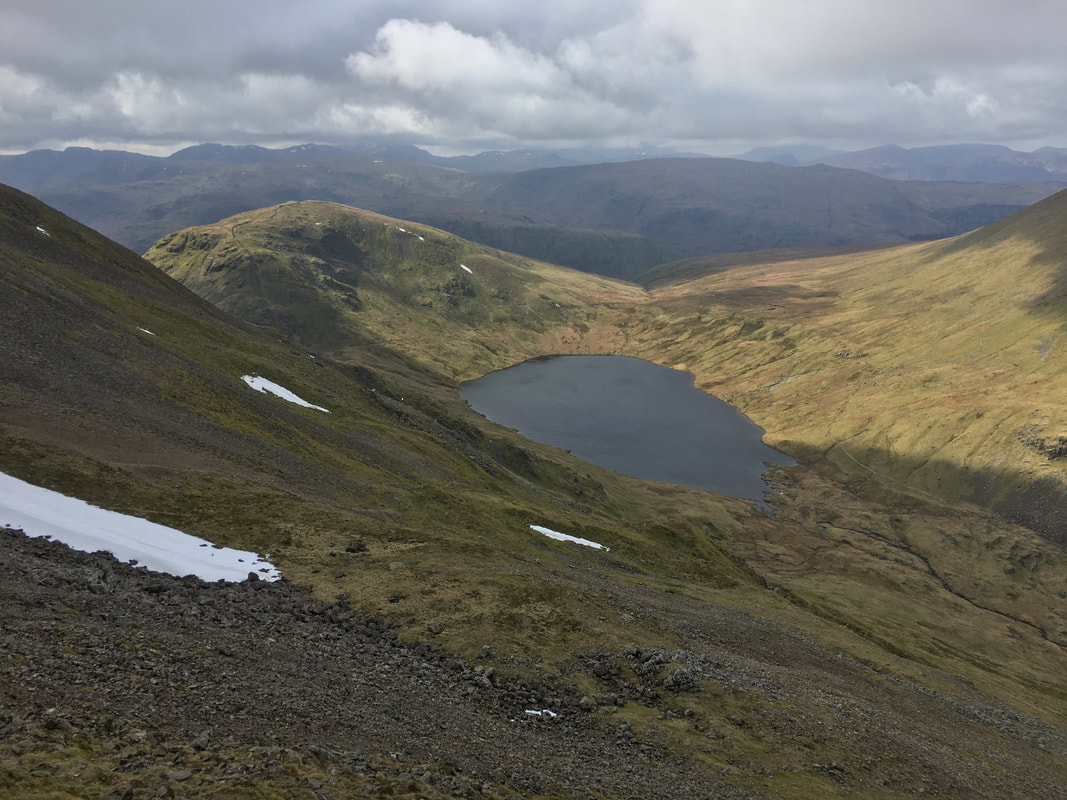
Grisedale Tarn & Seat Sandal from Cofa Pike
Descending to Deepdale Hause
Looking back to our descent from Cofa Pike from Deepdale Hause
From Deepdale Hause a path slants across the lower slopes of Cofa Pike to reach the north eastern shore of Grisedale Tarn
Another view of the Helvellyn Range from the Deepdale Hause path
Dollywagon Pike from the path to Grisedale Tarn.
The path to Glenridding & Patterdale can be seen down below in the valley and is the one used by people walking the Coast to Coast.
The path to Glenridding & Patterdale can be seen down below in the valley and is the one used by people walking the Coast to Coast.
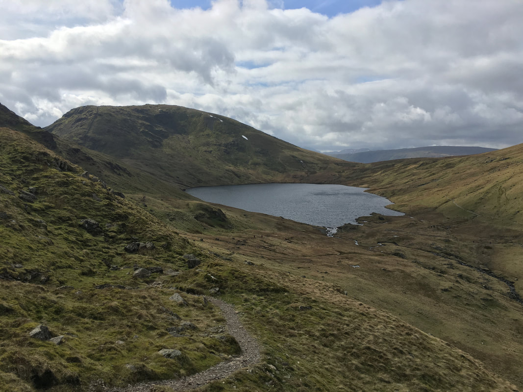
Almost down at Grisedale Tarn - this is a lovely spot
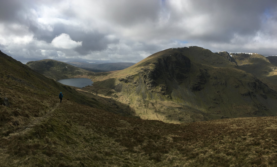
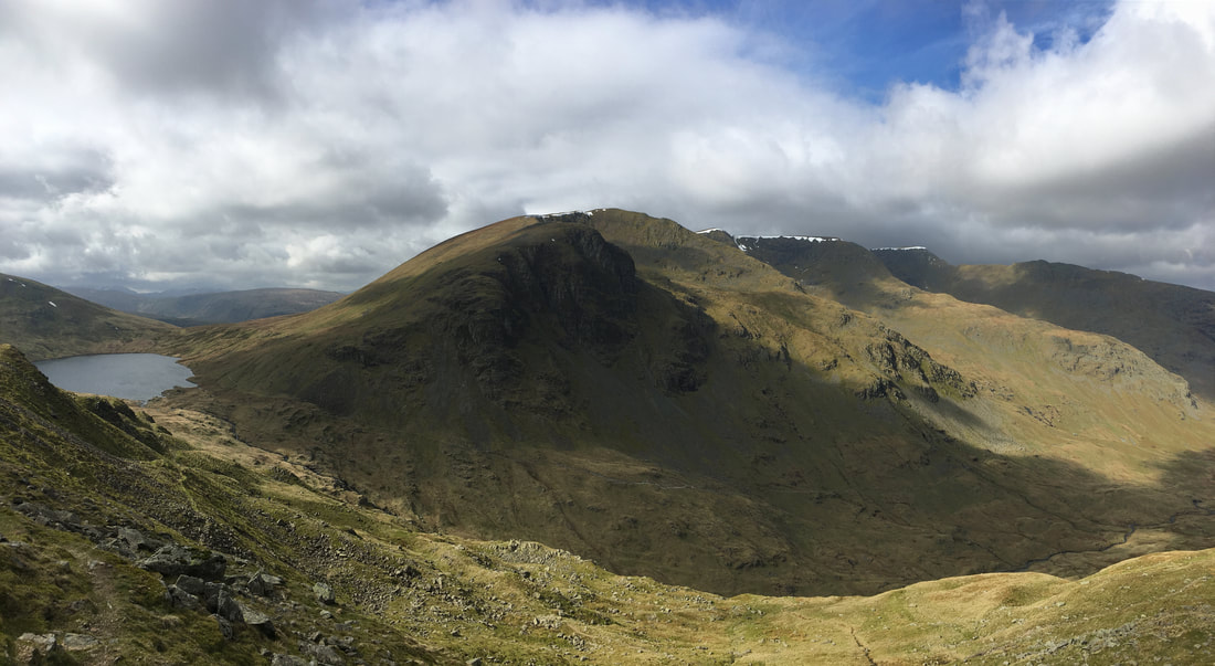
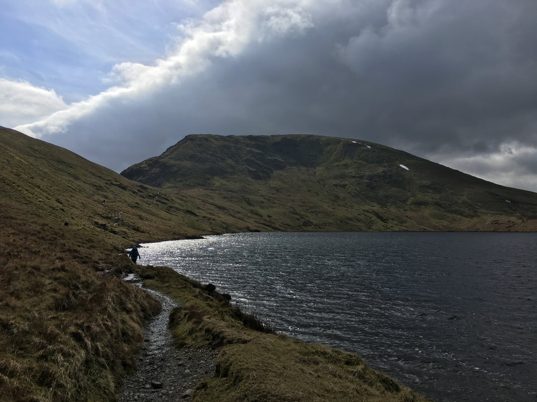
Heading along the shore of Grisedale Tarn to Grisedale Hause with Seat Sandal taking centre stage
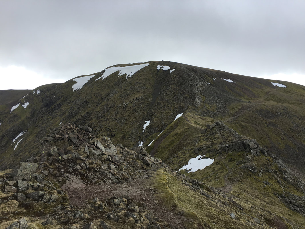
Looking to Fairfield from just below Grisedale Hause.
The ridge to the left is the route of descent should you not wish to include Cofa Pike on your walk.
The ridge to the left is the route of descent should you not wish to include Cofa Pike on your walk.
Although a lengthy descent, the walk back to Grasmere via the eastern side of Great Tongue is superb.
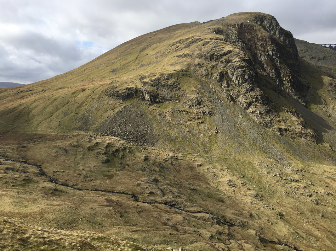
Gavel Crag on Seat Sandal
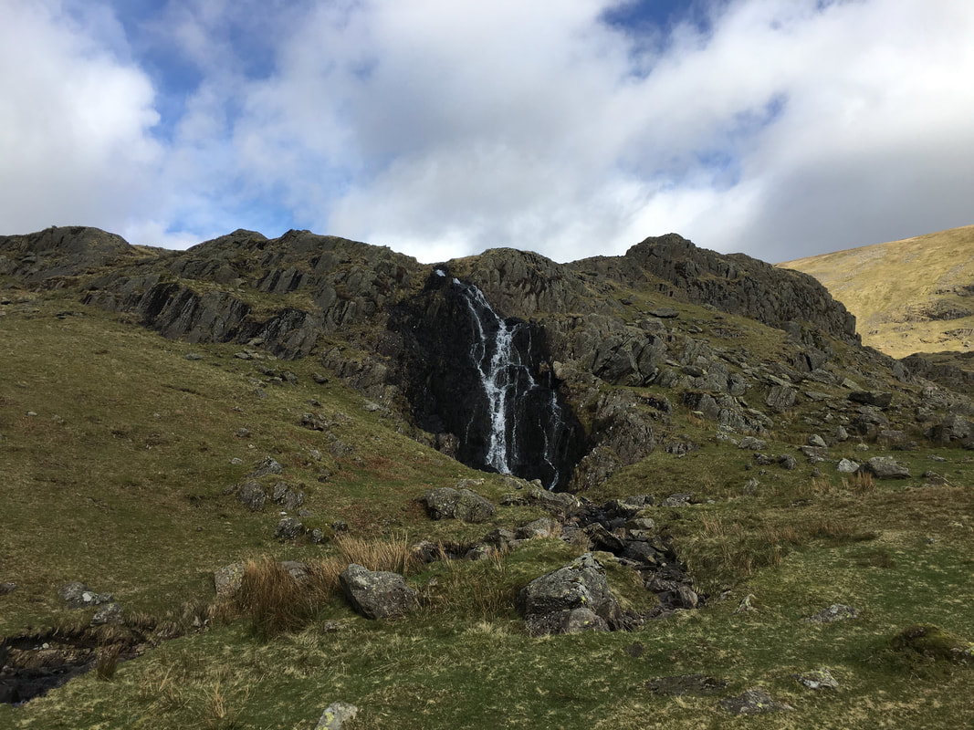
A lovely cascading waterfall just below Hause Moss
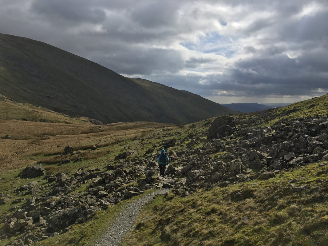
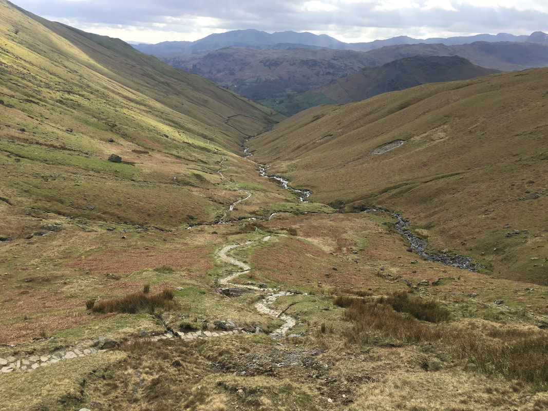
The long and winding road to Grasmere - but a great descent
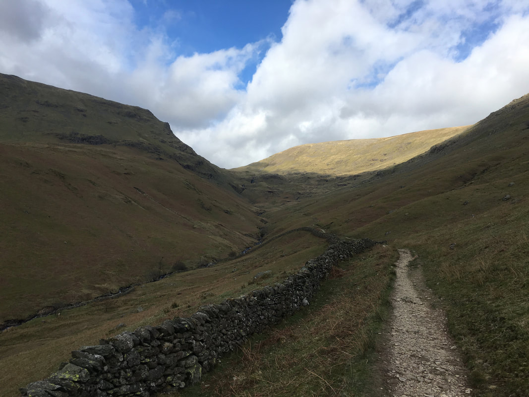
Looking back to Hause Gap from Tongue Gill
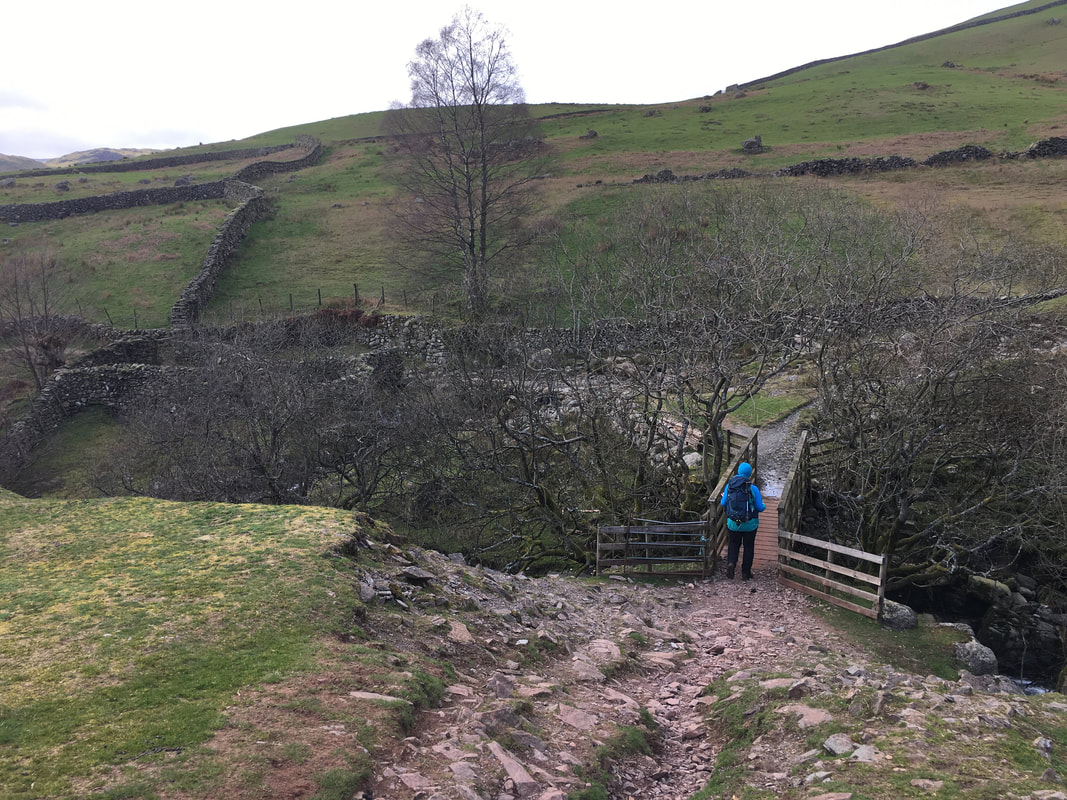
The footbridge near Tonguegill Force
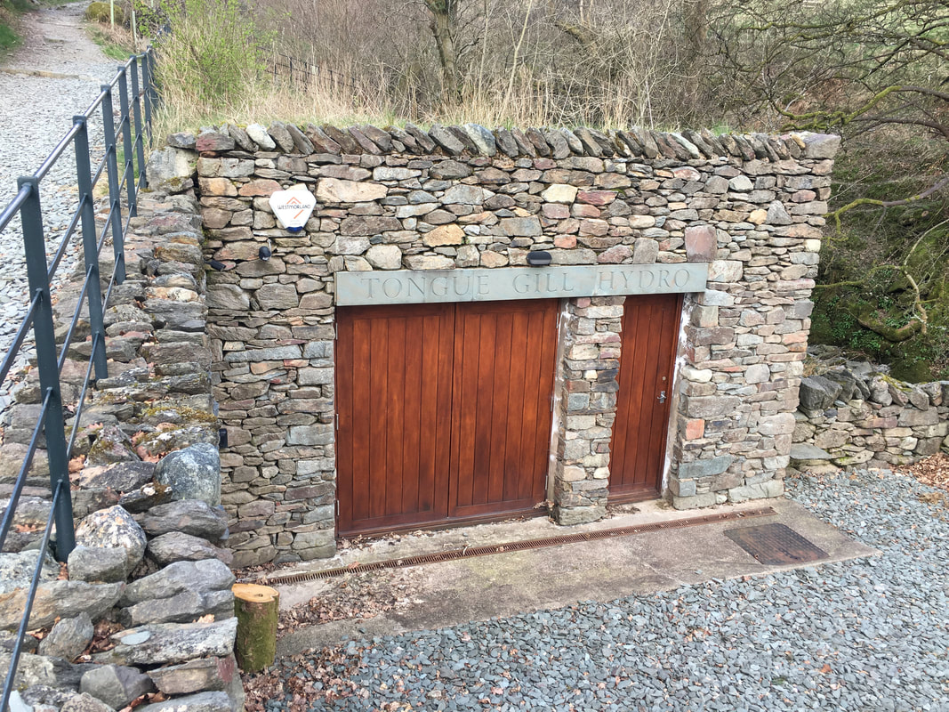
Tongue Gill Hydro near Mill Bridge
The scheme to produce electricity by harnessing the force of water from Tongue Gill was completed in 2014. A small intake chamber allows water to enter a 640m long buried pipe which is carried to this stone turbine building. Power is then generated and pumped into the National Grid.
The scheme to produce electricity by harnessing the force of water from Tongue Gill was completed in 2014. A small intake chamber allows water to enter a 640m long buried pipe which is carried to this stone turbine building. Power is then generated and pumped into the National Grid.
