Ullswater Way Day 2 - Monday 21 March 2022
Route
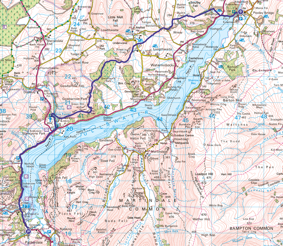
Pooley Bridge - Waterfoot - Maiden Castle - Bennethead - Watermillock Church - Swinburn's Park - Shooting Lodge - Collier Hagg - Yew Crag - Aira Force - Glencoyne - Stybarrow Crag - Glenridding - Patterdale
Mileage
11 miles
Terrain
Field paths, farm tracks and the edge of Ullswater's shore line. There is a short amount of road walking (200 yds) along the A592 below Stybarrow Crag - care needs to be taken here as the road can become extremely busy during peak periods.
Weather
Sunshine throughout with the occasional light breeze - visibility was excellent.
Time Taken
5hrs 35mins
Total Ascent
1840ft (561m)
Map
OL5 - The English Lakes - North Eastern Area
Walkers
Dave, Angie & Fudge
|
GPX File
|
| ||
If the above GPX file fails to download or presents itself as an XML file once downloaded then please feel free to contact me and I will send you the GPX file via e-mail.
Route Map
Another superb weather day today as we leave Pooley Bridge. Unlike yesterday, today we would be following the route of The Ullswater Way in its entirety.
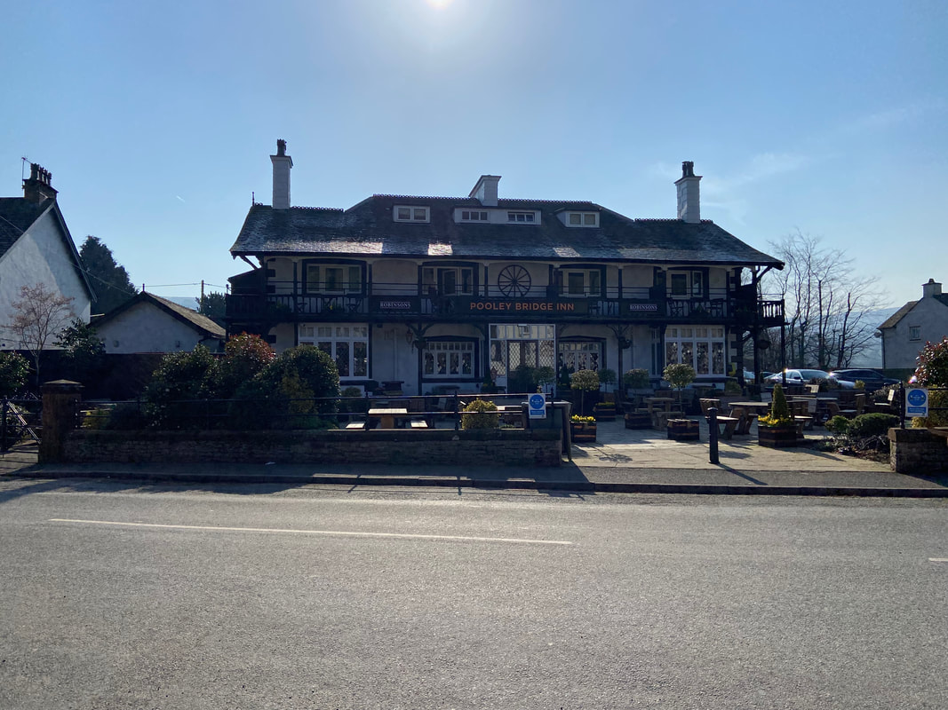
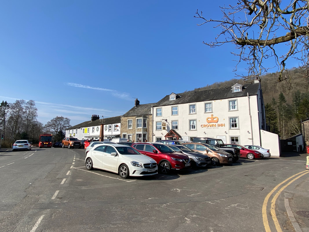
Having enjoyed a lovely stay at The Sun Inn we made our way out of the village via the road to Patterdale
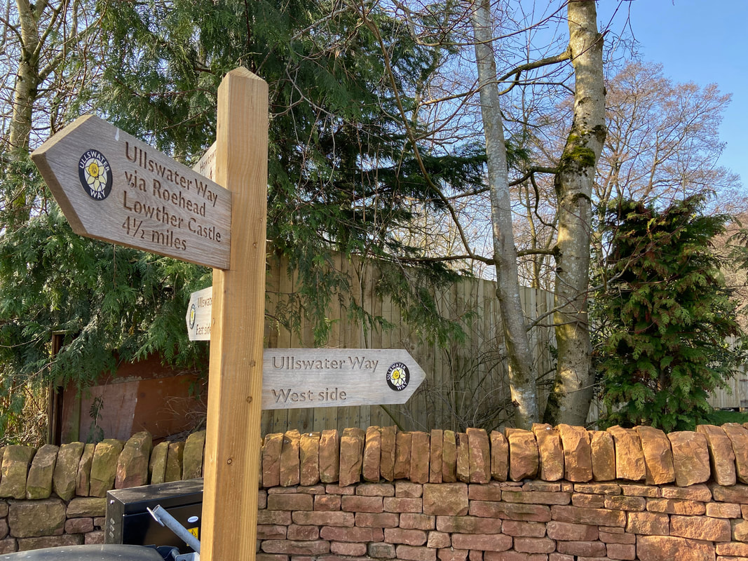
Just before the bridge is a waymark sign pointing the way along the west side of Ullswater
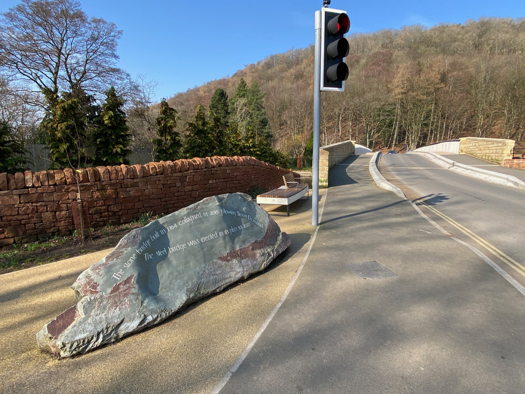
The commemoration stone on the eastern side of Pooley Bridge. The stone is a beautiful collaboration between local sculptor Jimmy Reynolds and stone letter carver Pip Hall. The lettering reads:
"The stone bridge built in 1764 collapsed in 2015 following Storm Desmond. The steel bridge was erected in its place in 2020"
Unprecedented levels of rainfall caused extensive flooding in the Pooley Bridge area in early December 2015 as a result of Storm Desmond. On the afternoon of Sunday 6 December and without warning, the central arch of the 251 year old bridge collapsed; by the next morning the remaining portion had also been swept away. The village was then isolated from the west bank, causing considerable disruption to residents and businesses. In February 2016 work started to remove the stone and debris from the river using local contractors who stored the salvaged bridge stone for possible future use. A temporary bridge was opened on 20 March 2016 and just over four years later the new stainless steel bridge was lifted into place on 7 May 2020.
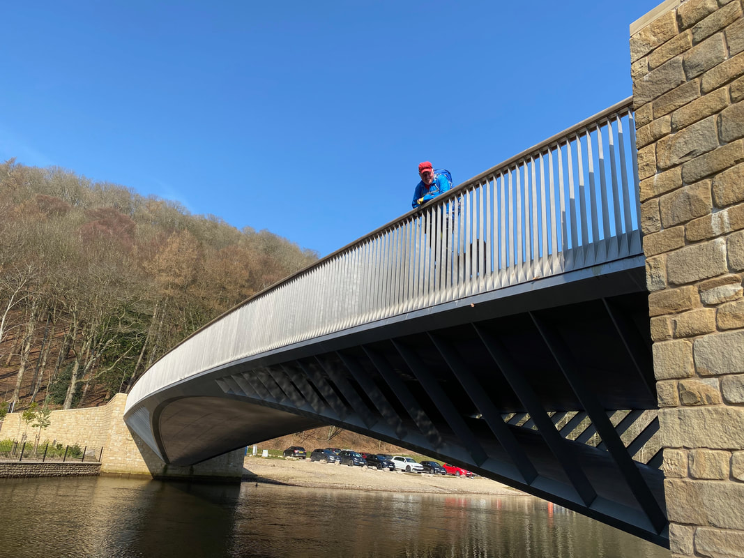
Fudge and I on the new bridge. Whilst it may not be as old or as aesthetically pleasing as the previous bridge, it is still a fine piece of engineering.
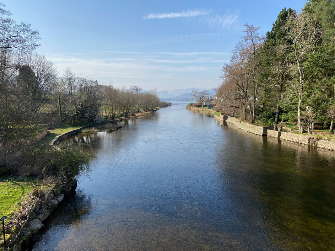
The River Eamont flowing into Ullswater
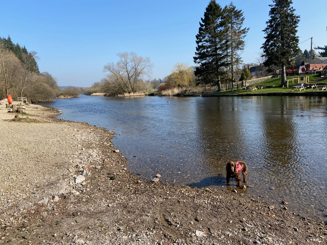
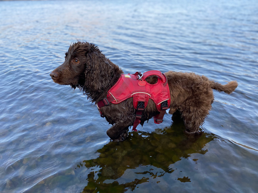
Swim time for Fudge in the River Eamont
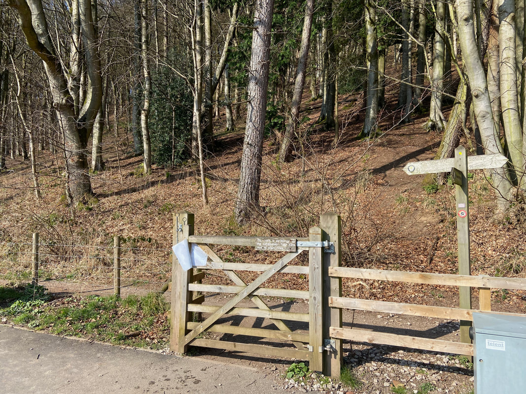
Just over the other side of the bridge is a hand gate which leads into woodland below Dunmallard Hill
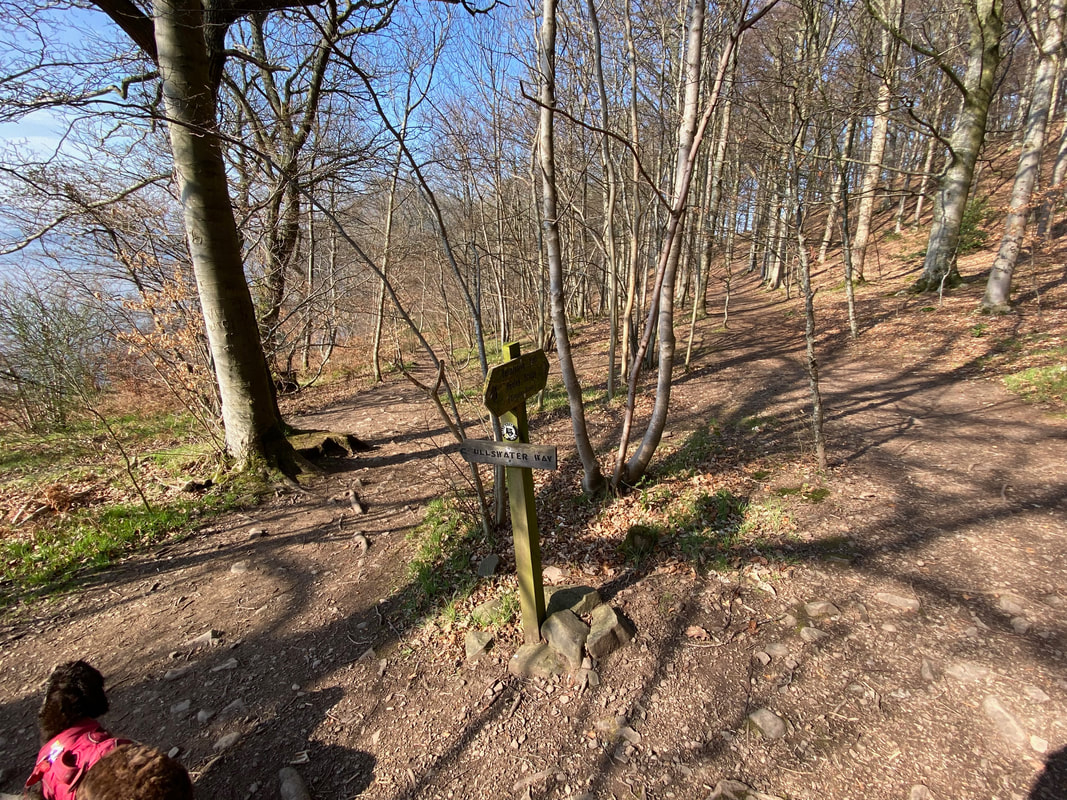
The path skirts the lower slopes of Dunmallard Hill to then head to the left at a fork. The path to the right is a circular path around the base of Dunmallard Hill.
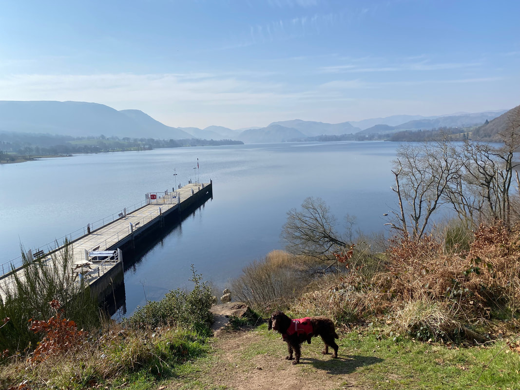
No Fudge - no boat trips today I'm afraid. We have to walk back.
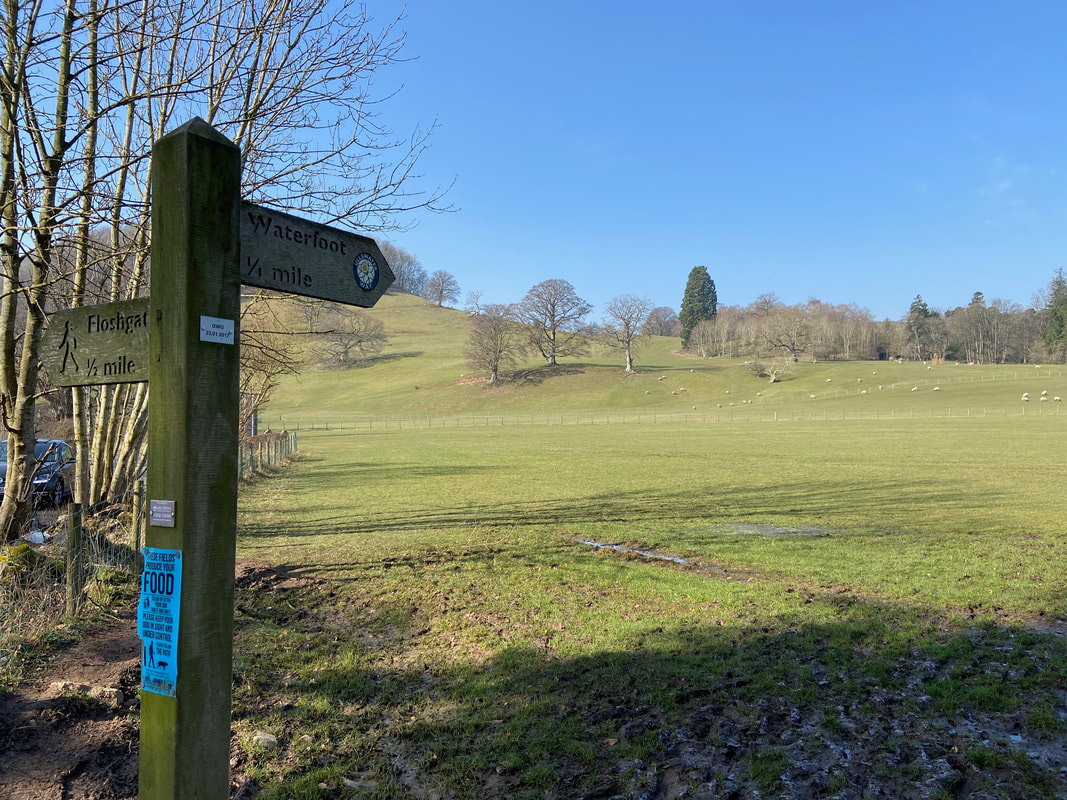
After exiting the woods the route crosses the A592 at a junction to then head over fields to Waterfoot Park
The Brylcreem Boys were up early today - most unlike them!
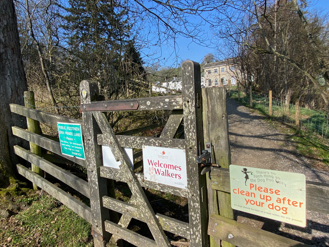
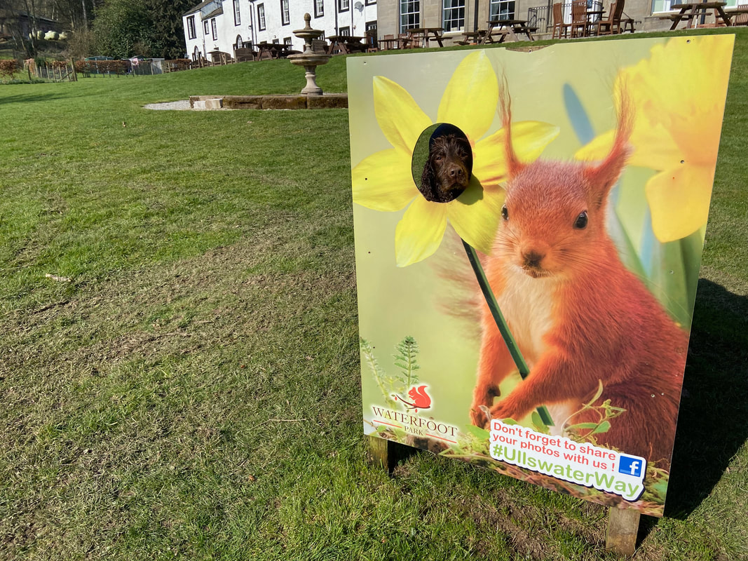
Entering Waterfoot Park to a myriad of signage
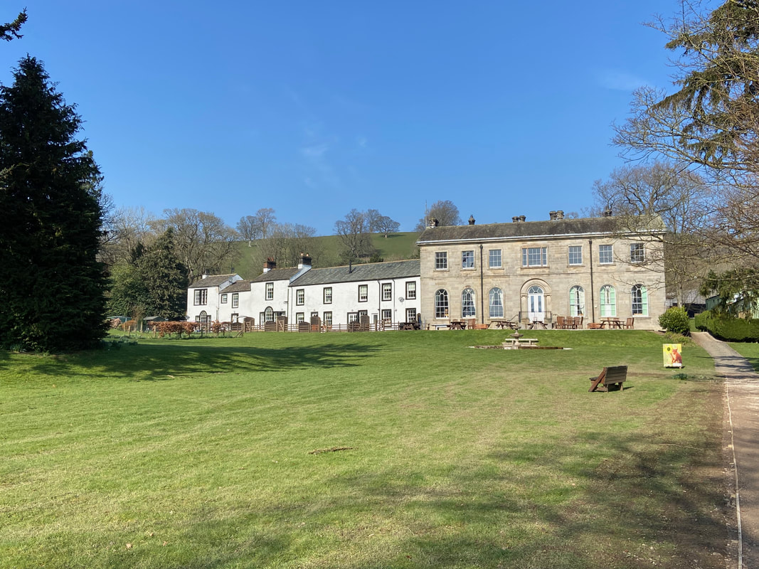
Waterfoot Park is a collection of self-catering cottages, S-Pods and glamping pods many of which are dog-friendly. It also has touring pitches for caravans.
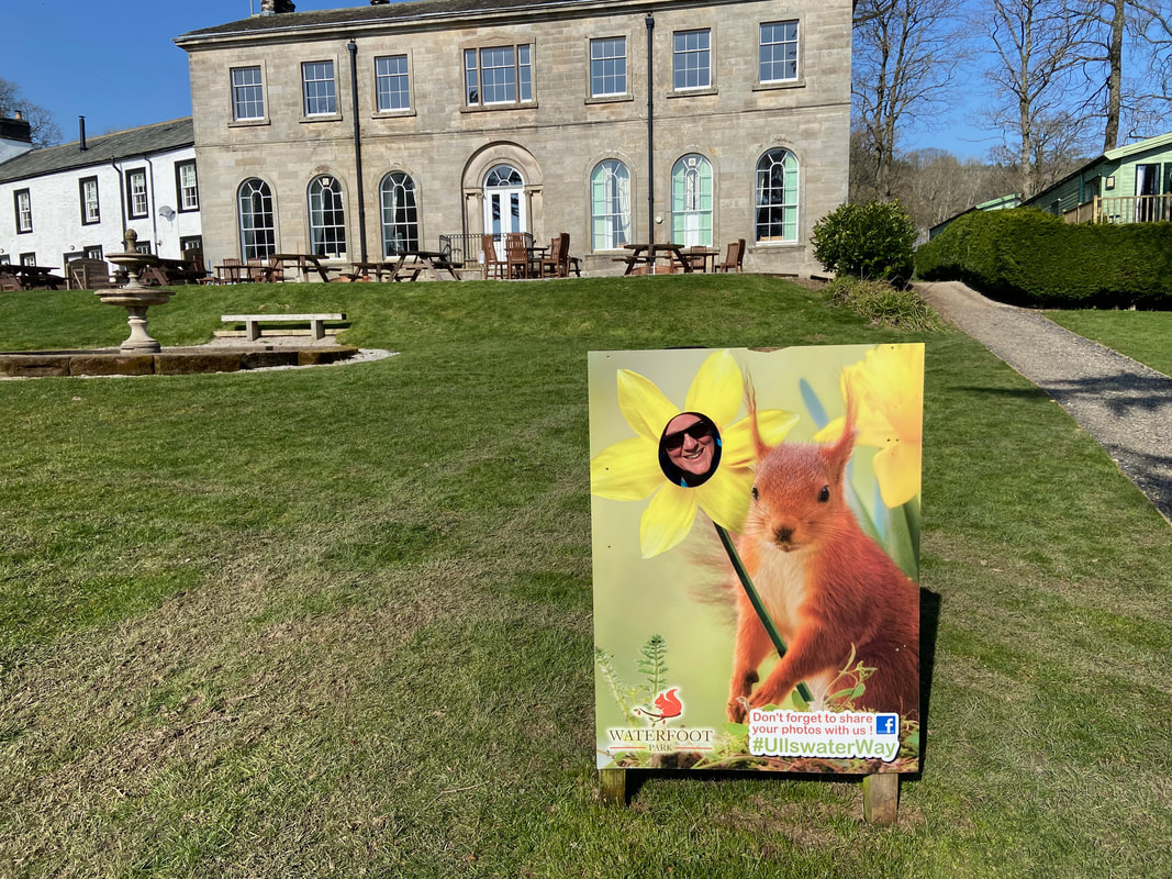
You can't take these two anywhere these days!
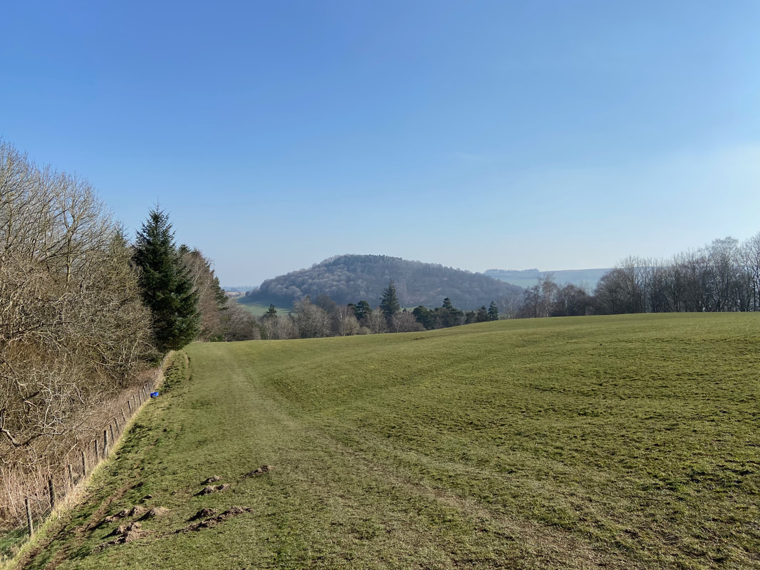
Looking back to Dunmallard Hill (also known as Dunmallet) from near Maiden Castle
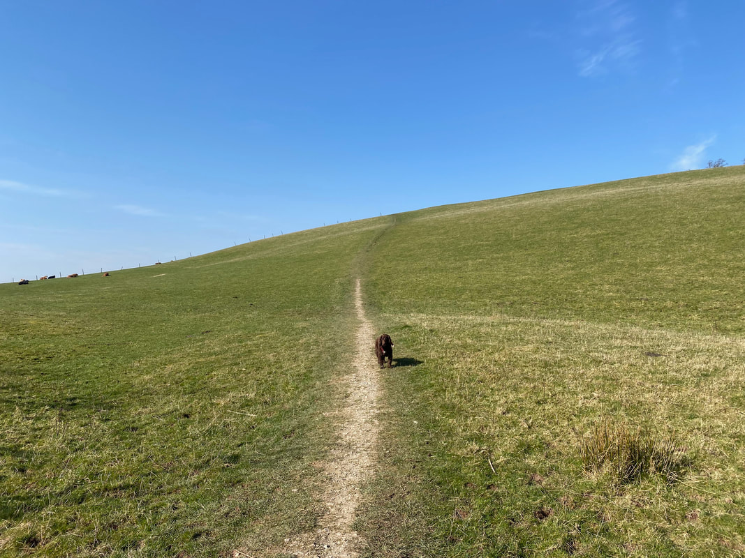
The ascent to the Iron Age farmstead of Maiden Castle
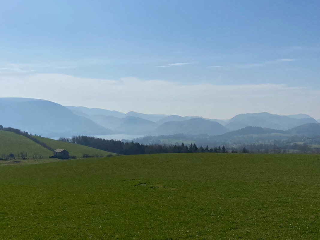
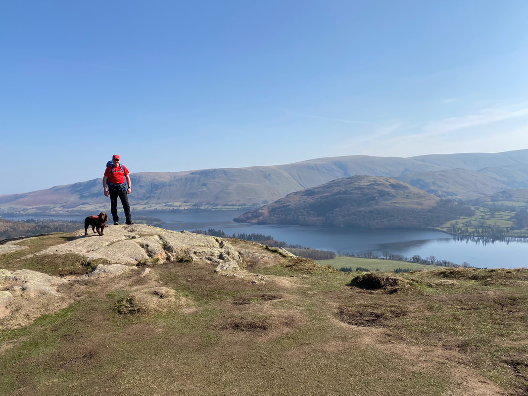
From Maiden Castle there is a superb view down Ullswater to layers and layers of fells
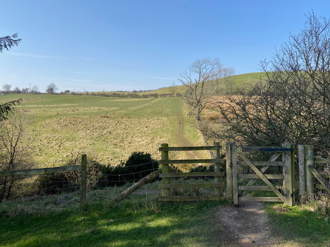
From Maiden Castle the route continues over farmland
Passing through the hamlet of Bennethead
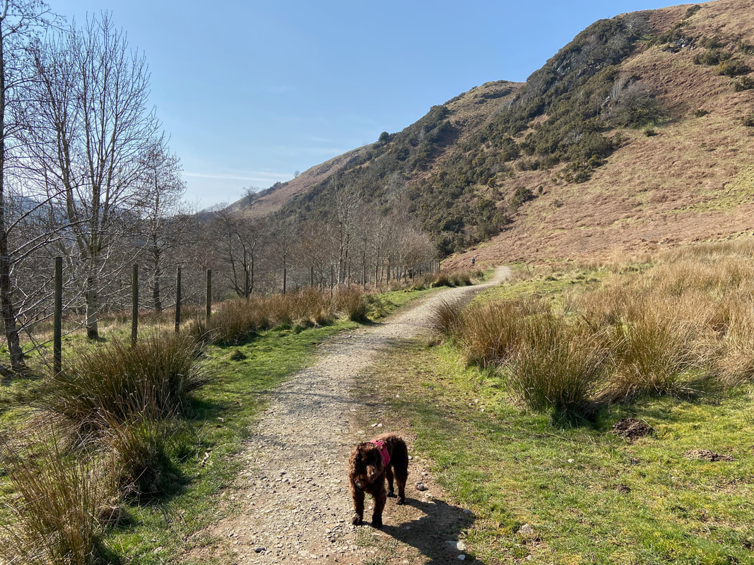
From Bennethead the route passes over more fields in the direction of Watermillock
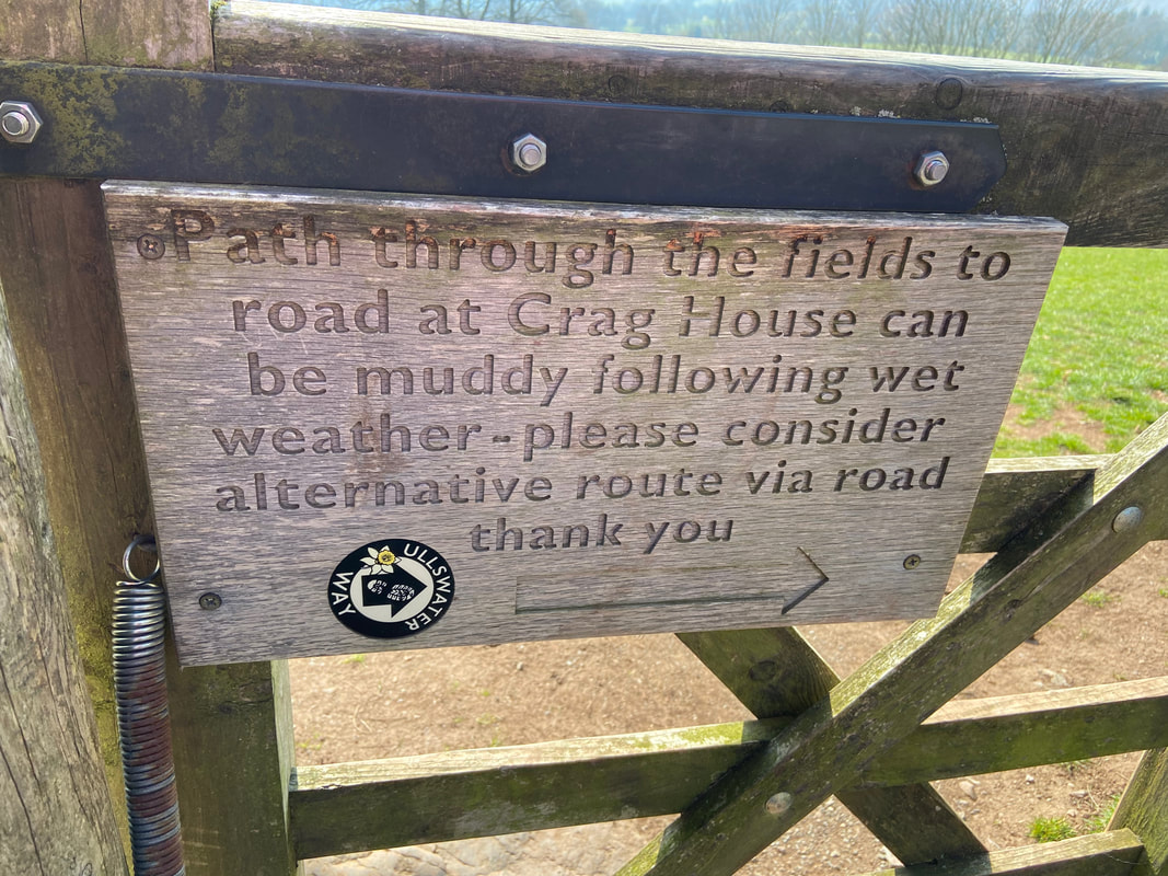
No need to divert today as it was pretty dry with no rain over the previous few days
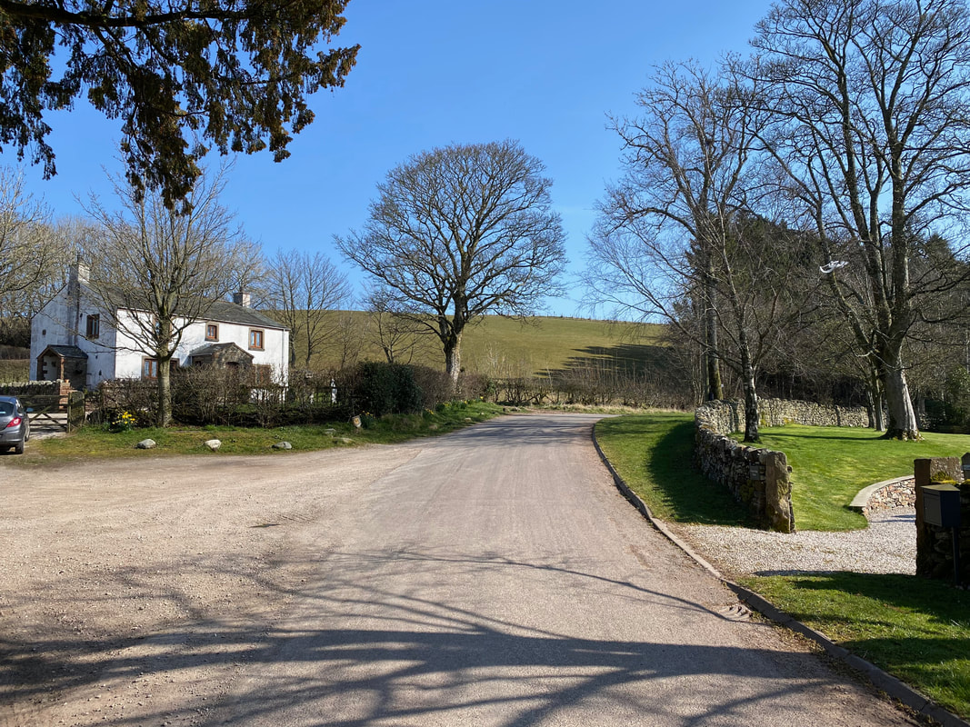
The field path between Bennethead & Crag House
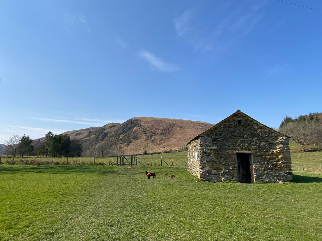
The field path passes a barn - Crag House is out of shot to the left. The fell in the distance is Little Meldrum.
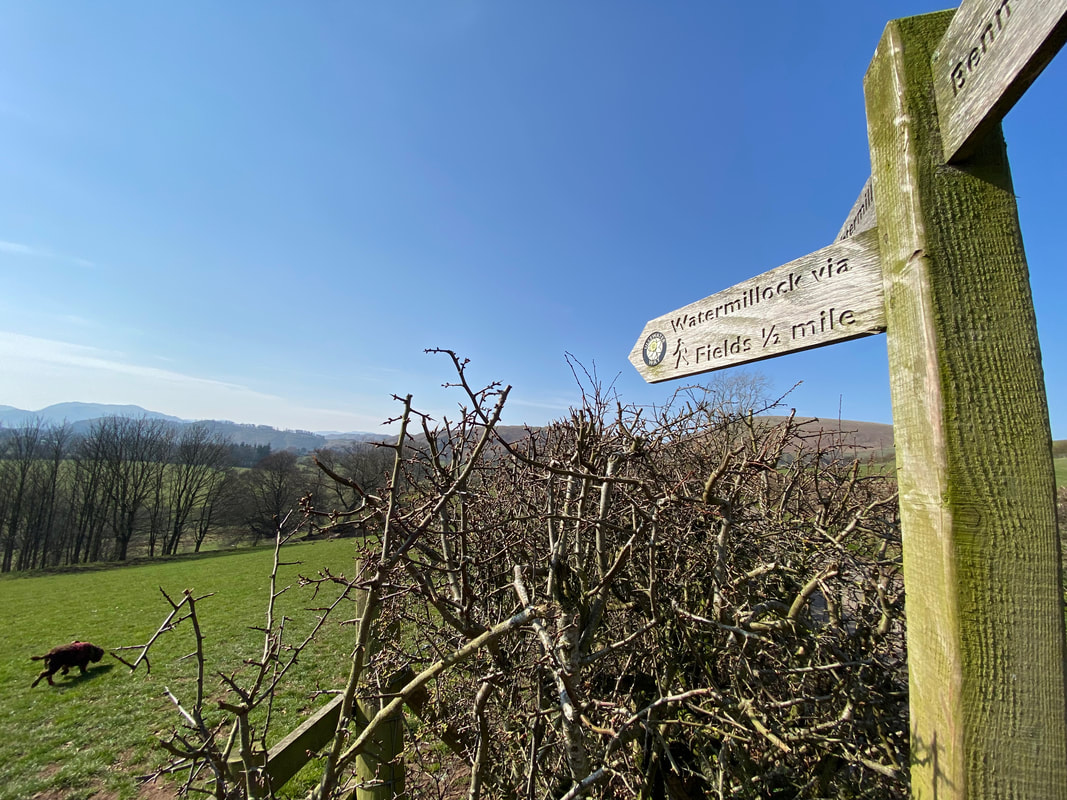
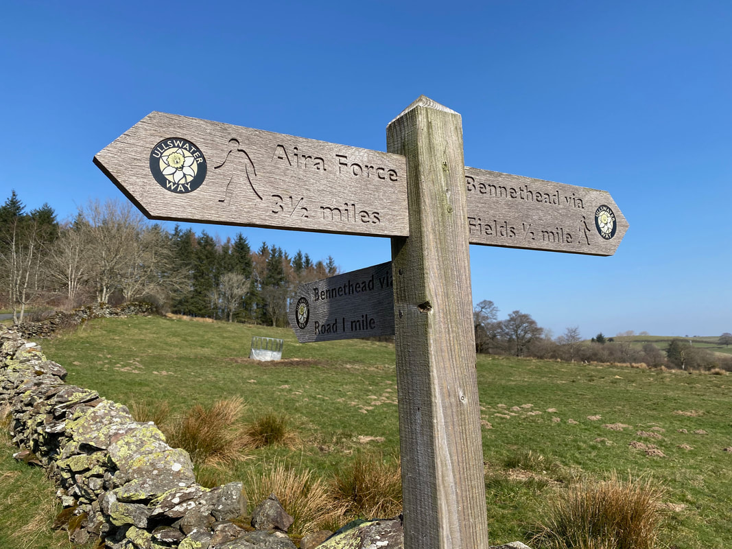
Reaching the road just past Crag House, a waymark sign points the way onward towards Aira Force
Continuing on the path to Aira Force above Watermillock Church. It was time for a break - a clue to what we had for a snack is in the bottom half of the picture - any ideas??
Of course - and very nice it was too.
Looking back towards Watermillock Church with Dunmallard Hill in the distance
Entering Swinburn's Park below Little Meldrum
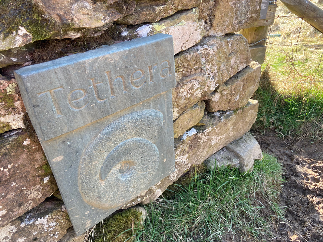
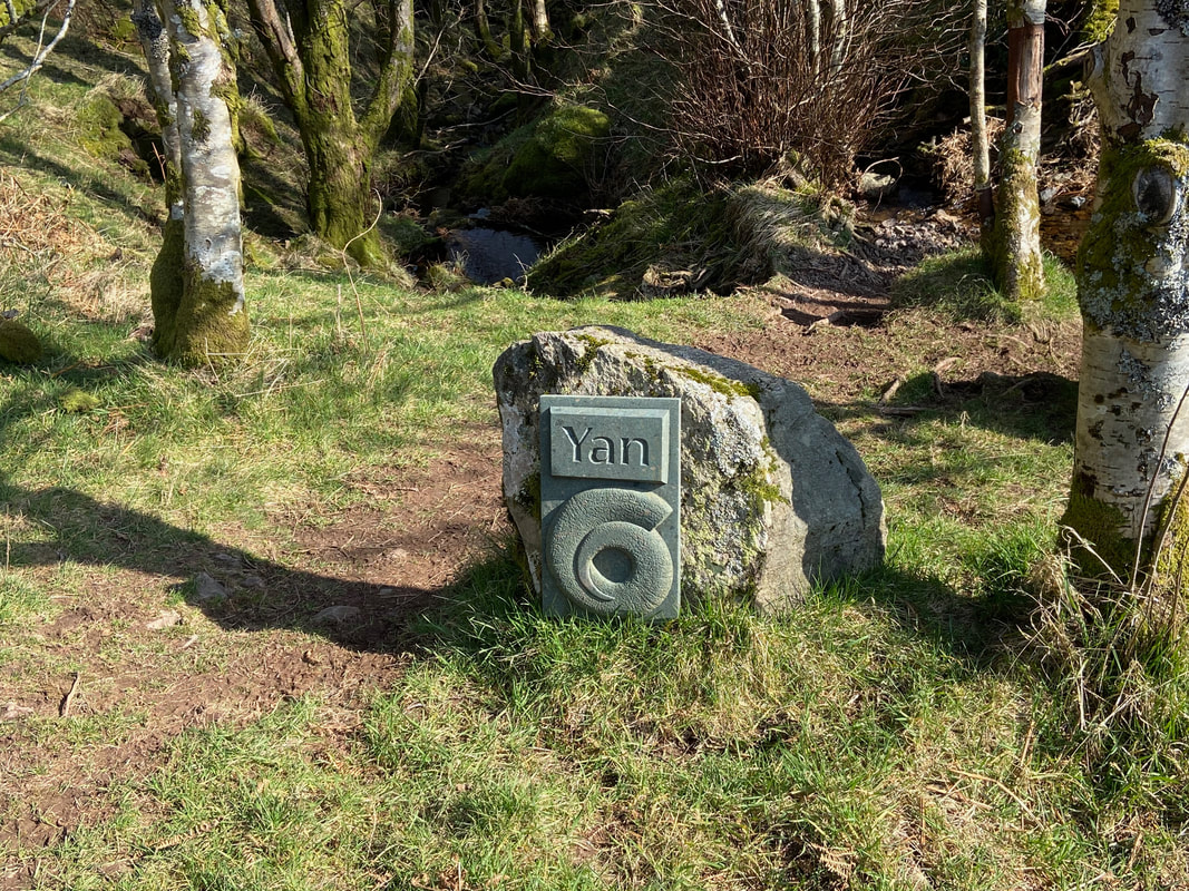
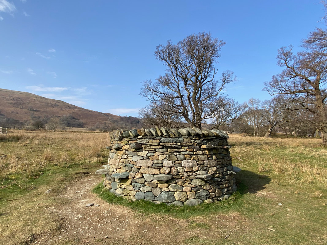
One of the 3 "Herdwick Stones" situated along this stretch of path through Swinburn's Park. Carved by Charlotte Ruse, the stones celebrate the role that shepherding plays in the cultural heritage of the Ullswater Valley. Shepherds need to do frequent head counts of their flock and traditionally used a special counting system of Celtic origin that begins "Yan, Tyan, Tethera" - hence the carving on this particular stone. We would see Yan a bit further on but did not encounter Tyan.
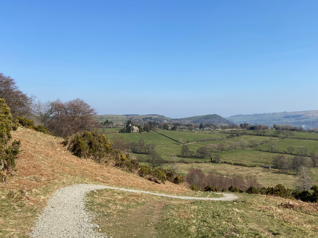
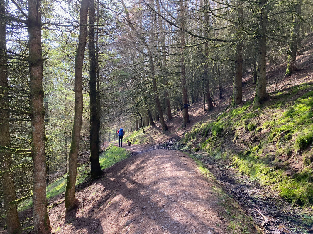
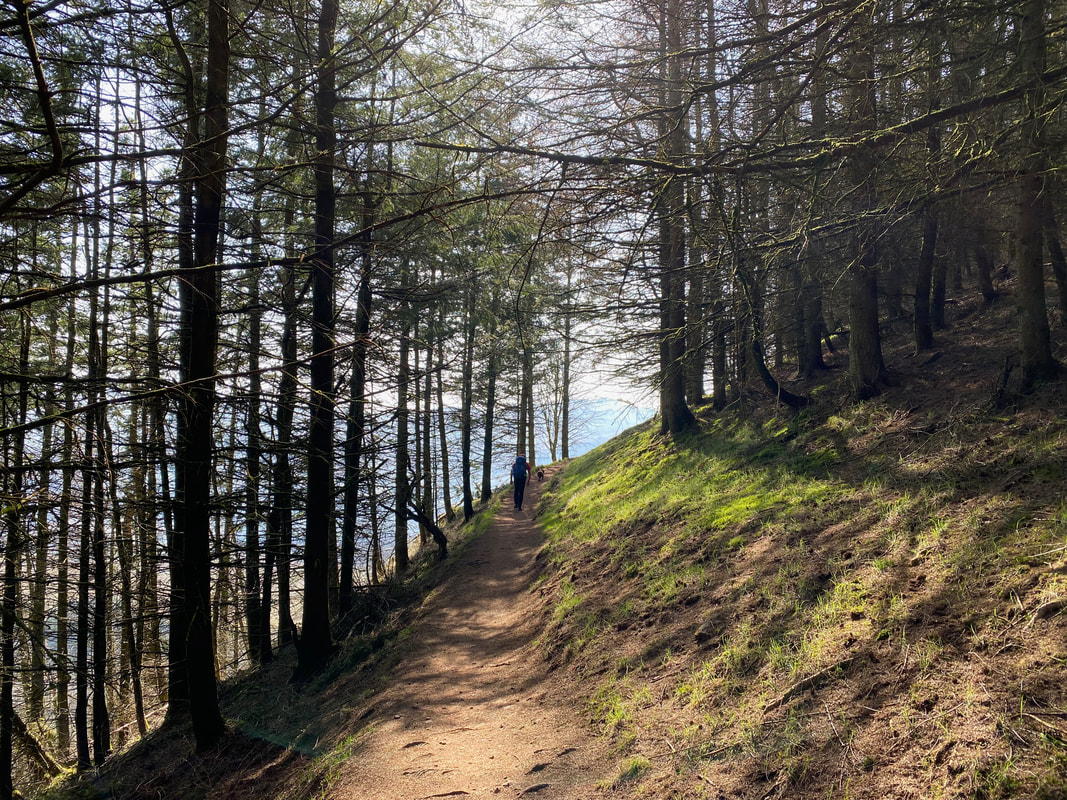
Continuing on through Swinburn's Park - this is a delightful stretch of path.......
..... that just gets better & better
The second Herdwick Stone - Yan
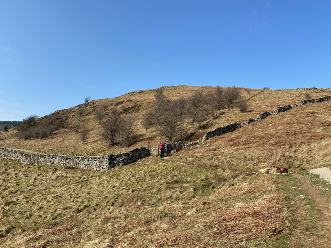
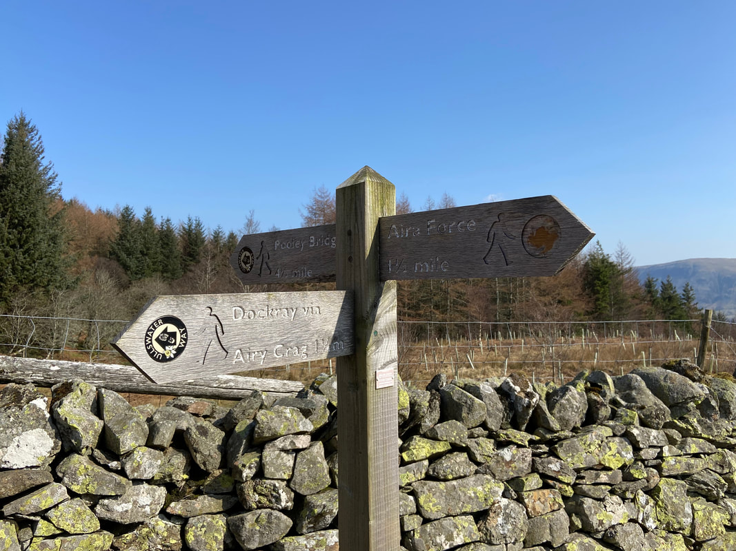
Exiting Swinburn's Park there is the option to walk to Airy Crag (Gowbarrow Fell) and rejoin the Ullswater Way above Aira Force
Behind Angie the Airy Crag alternative route heads to the left near the old shooting hut. We were heading for Collier Hagg.
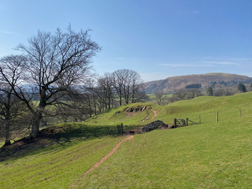
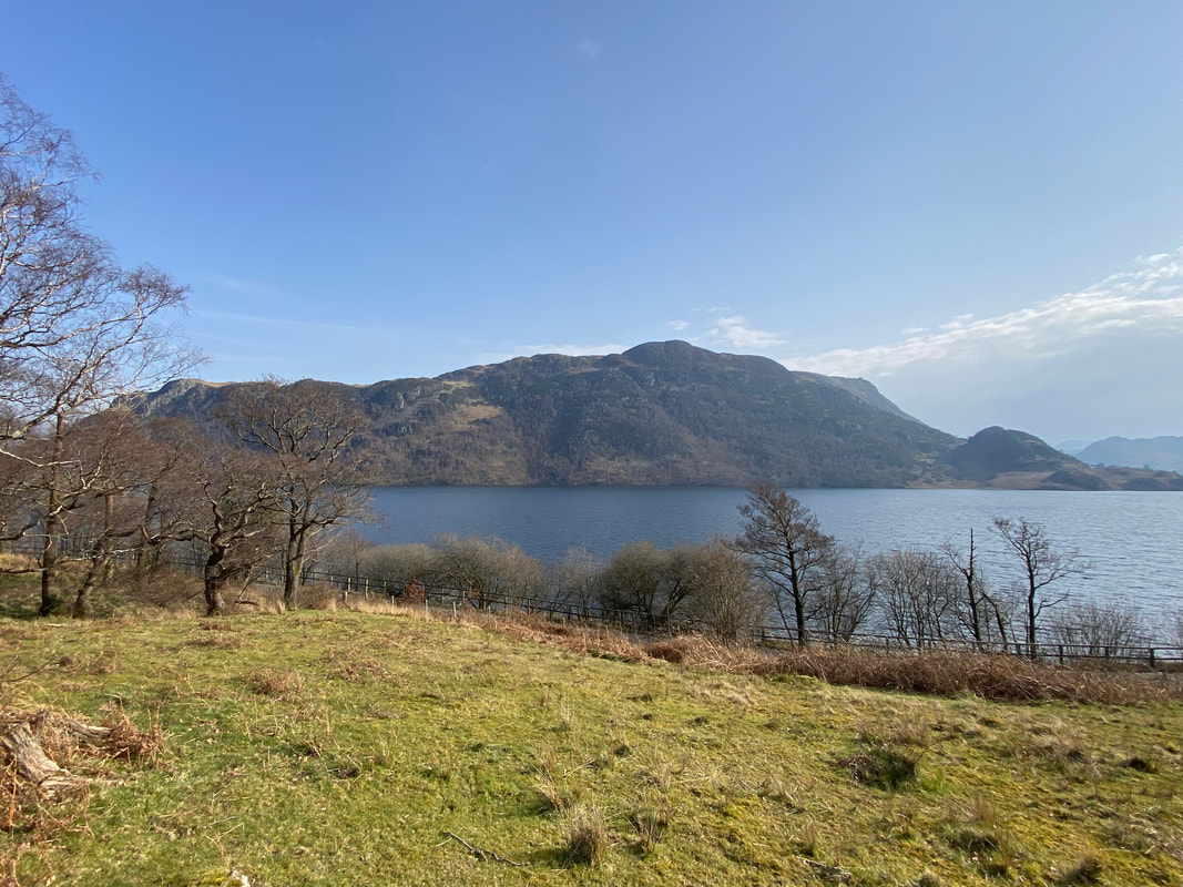
Heading along Collier Hagg above Ullswater
With Fudge at the viewpoint on Collier Hagg with Hallin Fell to the rear right
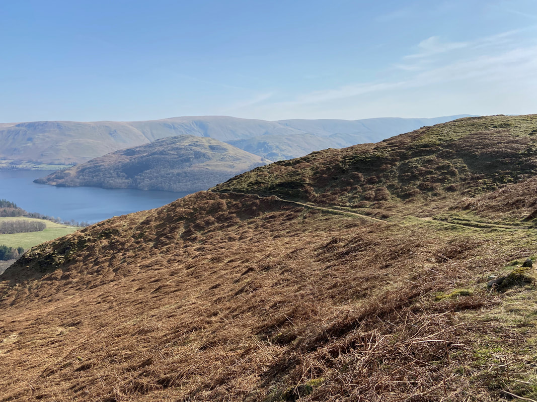
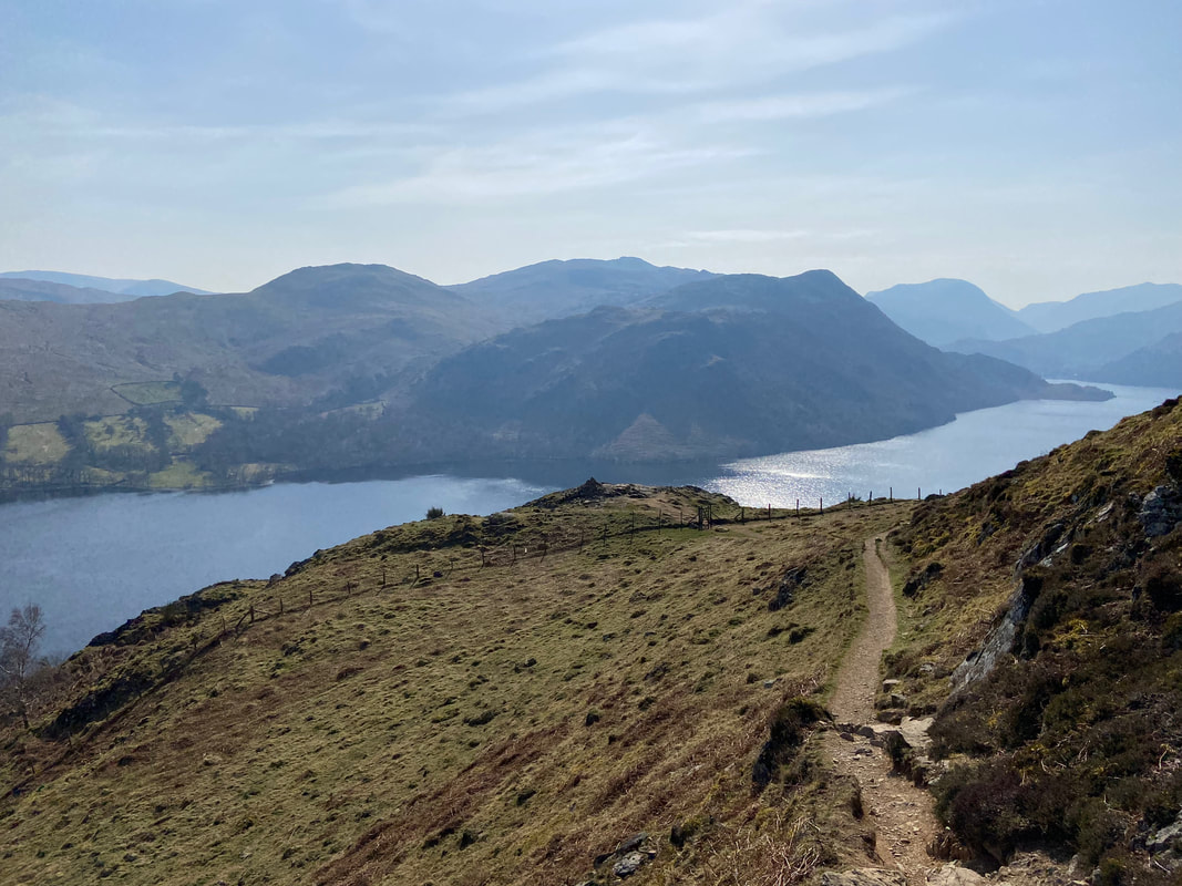
The terrace path continues as we make our way along Collier Hagg
Yew Crag ahead
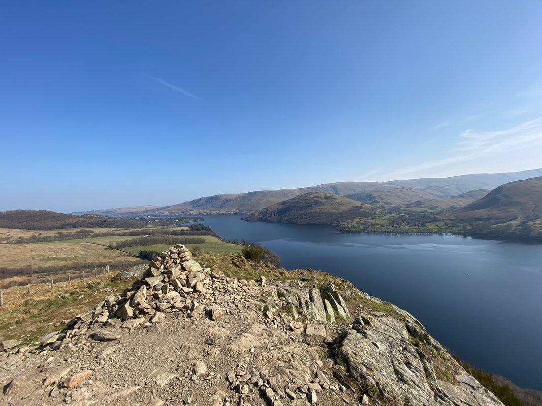
The summit cairn above Yew Crag
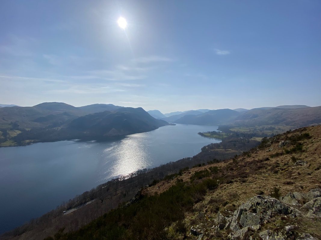
The glorious view down Ullswater from the cairn on Yew Crag
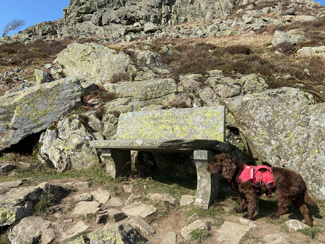
The stone memorial seat near the cairn on Yew Crag. Not much is known about the origin of the seat which has a strange inscription on it that reads "A Thank Offering - Oct 1905"
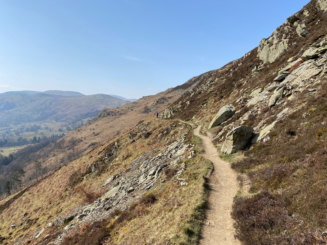
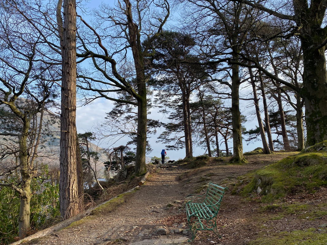
The superb terraced path continues as we head to Aira Force
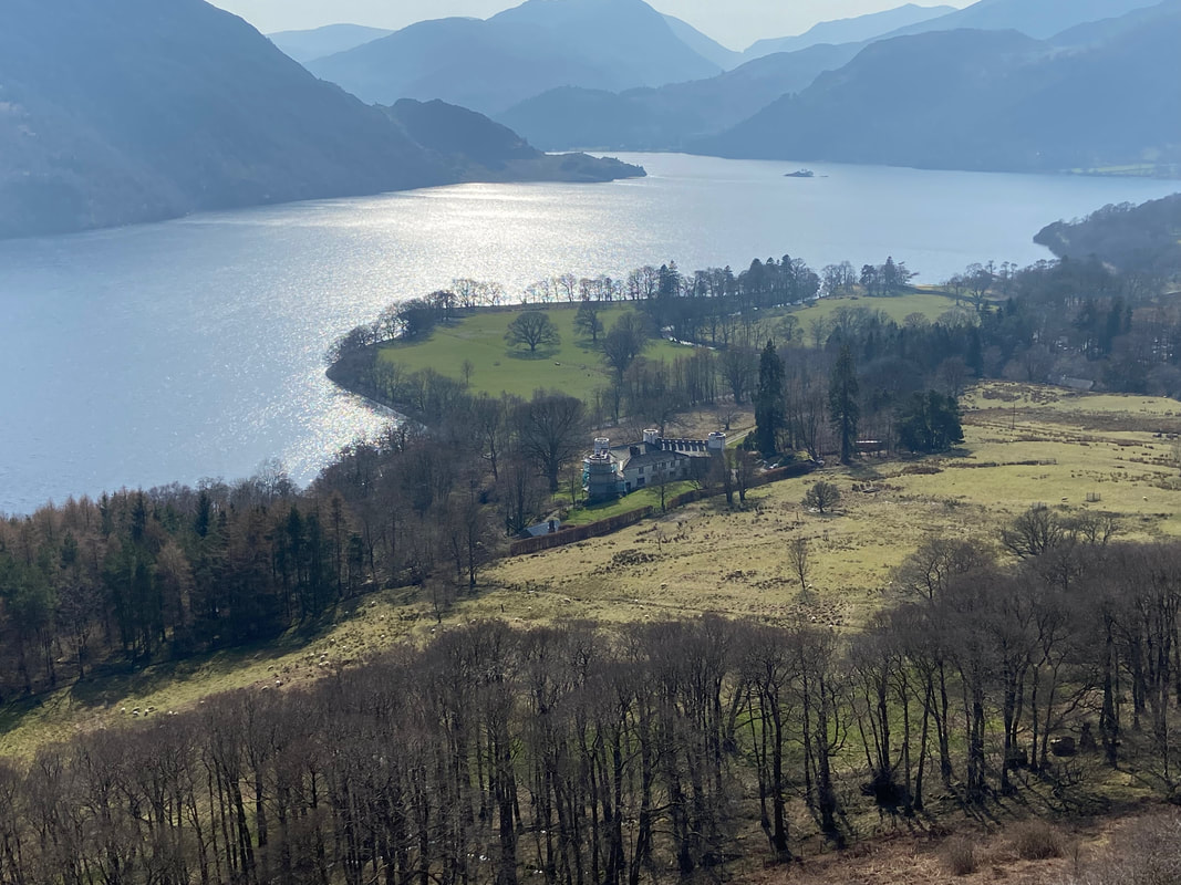
Lyulph's Tower below. Close up and from the front it looks more like a castle but that is not the case. A former hunting lodge, the property was once owned by the Howard family of Greystoke Castle.
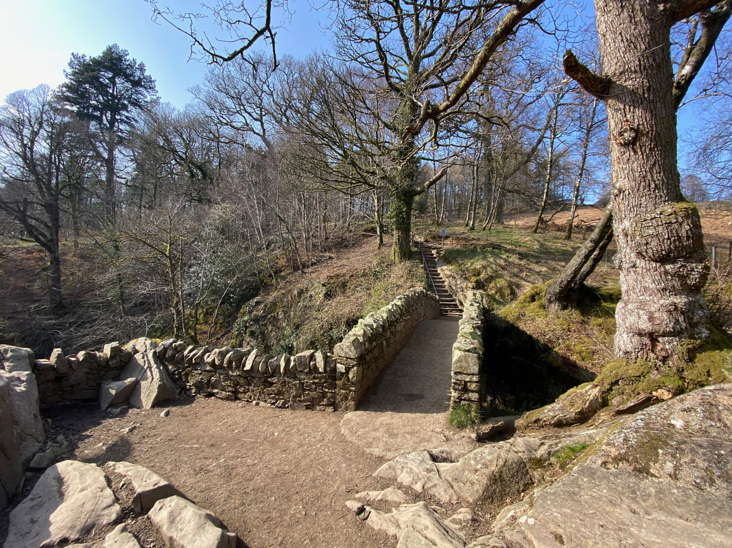
Crossing the bridge at Aira Force. The bridge was constructed to commemorate the life of Stephen Edward Spring Rice CB who was brought up a few miles from Aira Force at Watermillock. Spring Rice was a British Civil Servant and Academic. He is buried in the churchyard of All Saints Church in Watermillock.
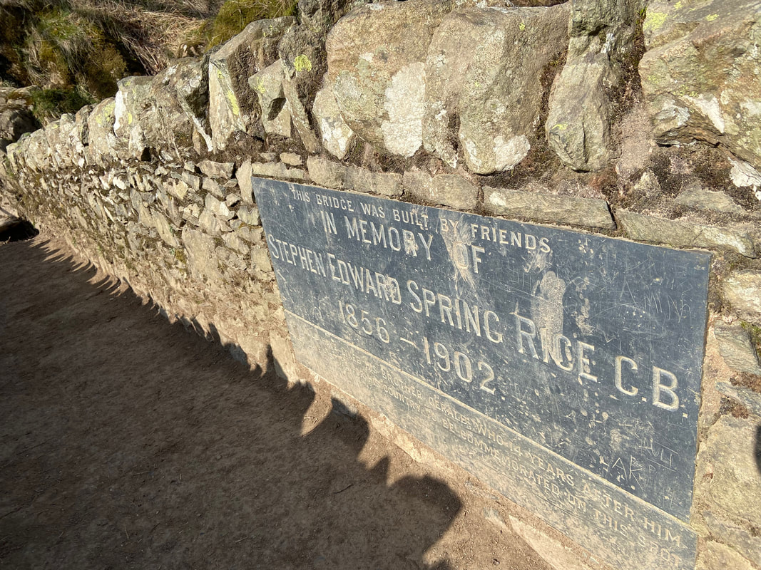
The memorial plaque on the bridge - why idiots feel the need to graffiti is beyond me
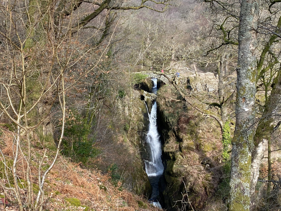
Aira Force - impossible to get any nearer as the main path down was blocked off - presumably for safety reasons whilst forestry operations were being carried out.
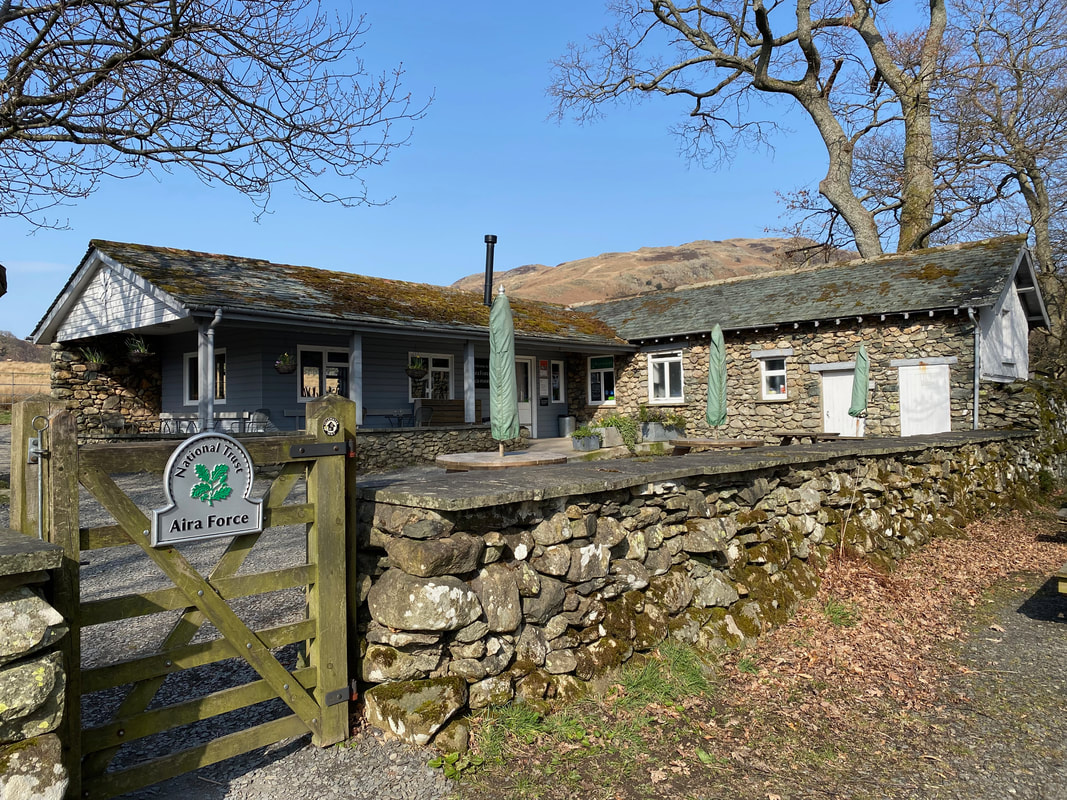
The normally popular cafe at Aira Force - unfortunately it was closed
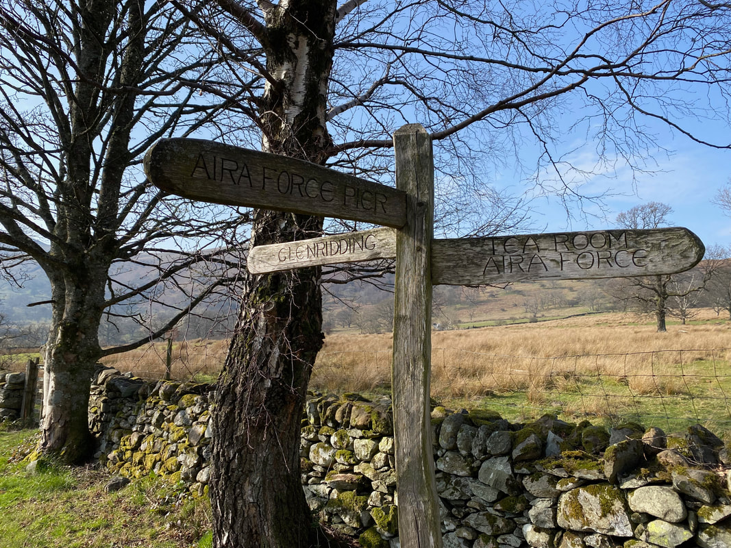
The sign points the way as we carry on in the direction of Glenridding
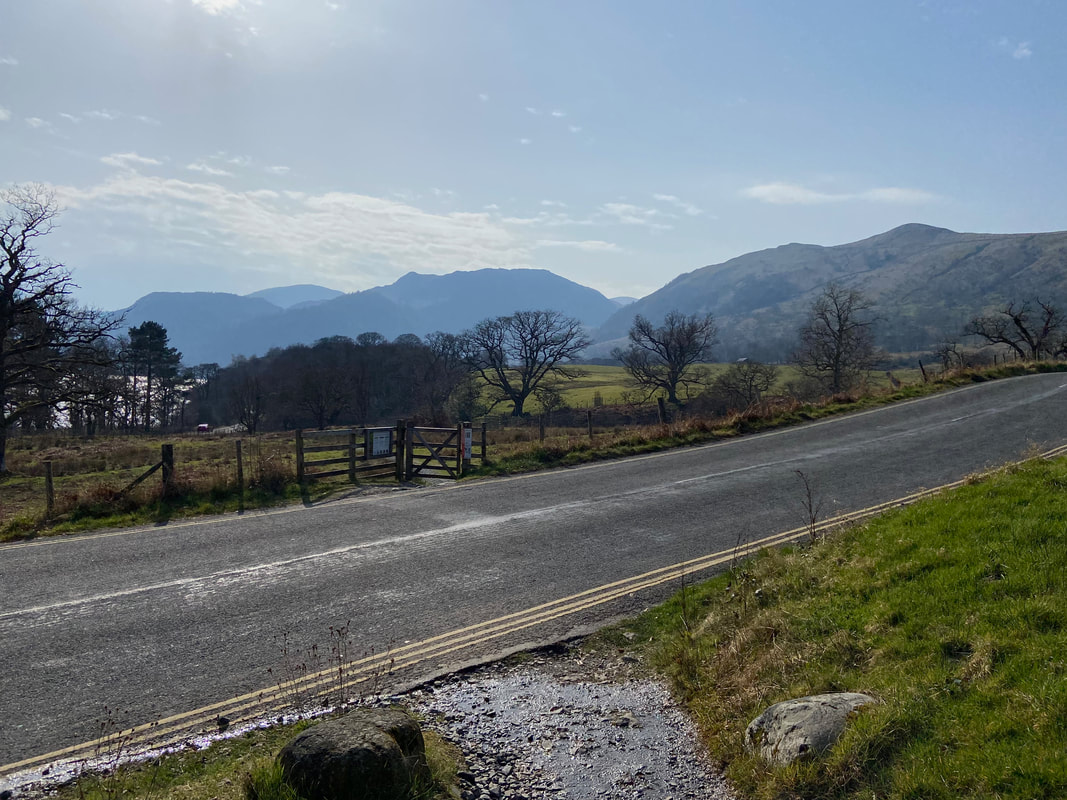
Leaving Aira Force the route crosses the A5091 and enters Glencoyne Park
The Oak Tree housed within a treefold in Glencoyne Park. The treefold is one of three in Cumbria created by Harriet & Rob Fraser in 2017 to mark the UK Tree Charter. The other two tree folds are located on Little Asby Common and the Grizedale Forest.
Place Fell over Ullswater from Glencoyne Park
No prizes for realising that we were now walking alongside the Ullswater lakeshore
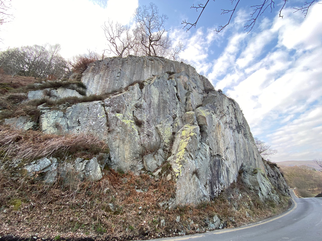
Stybarrow Crag. We are now looking back to the section of the walk where the road has to be negotiated. The distance on the road is about 200yds therefore in peak times care will need to be taken here.
Once clear of the road the lakeshore path is rejoined all the way to Glenridding
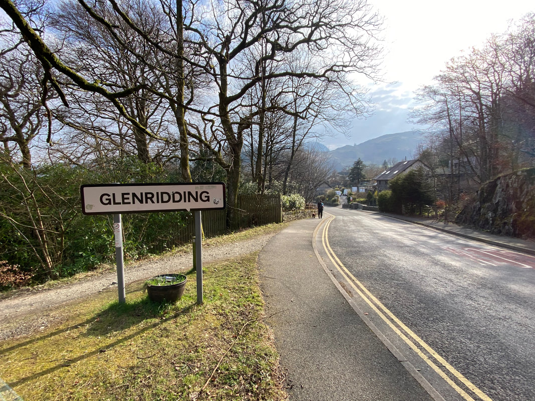
The lakeshore path comes in from the left and heads into Glenridding by way of a welcome pavement
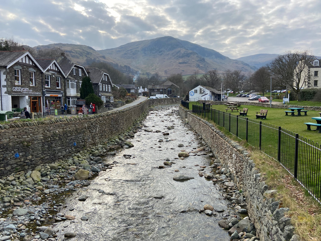
Glenridding Beck tumbling down as we reach Glenridding Bridge - Birkhouse Moor is the fell in the centre of shot
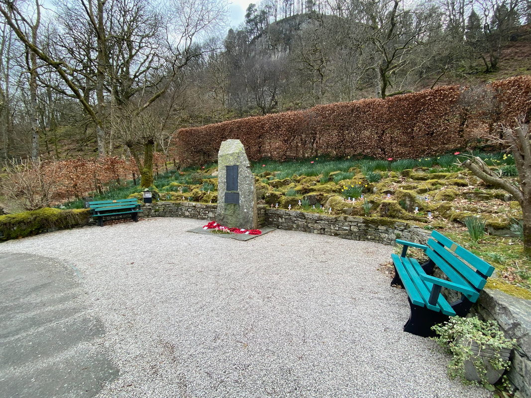
The War Memorial situated between Glenridding & Patterdale
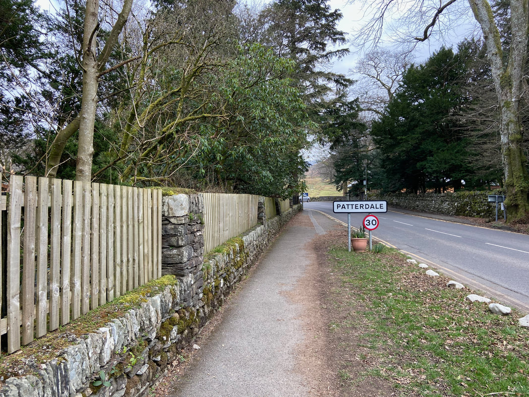
Entering Patterdale after a fabulous 2 days walking
