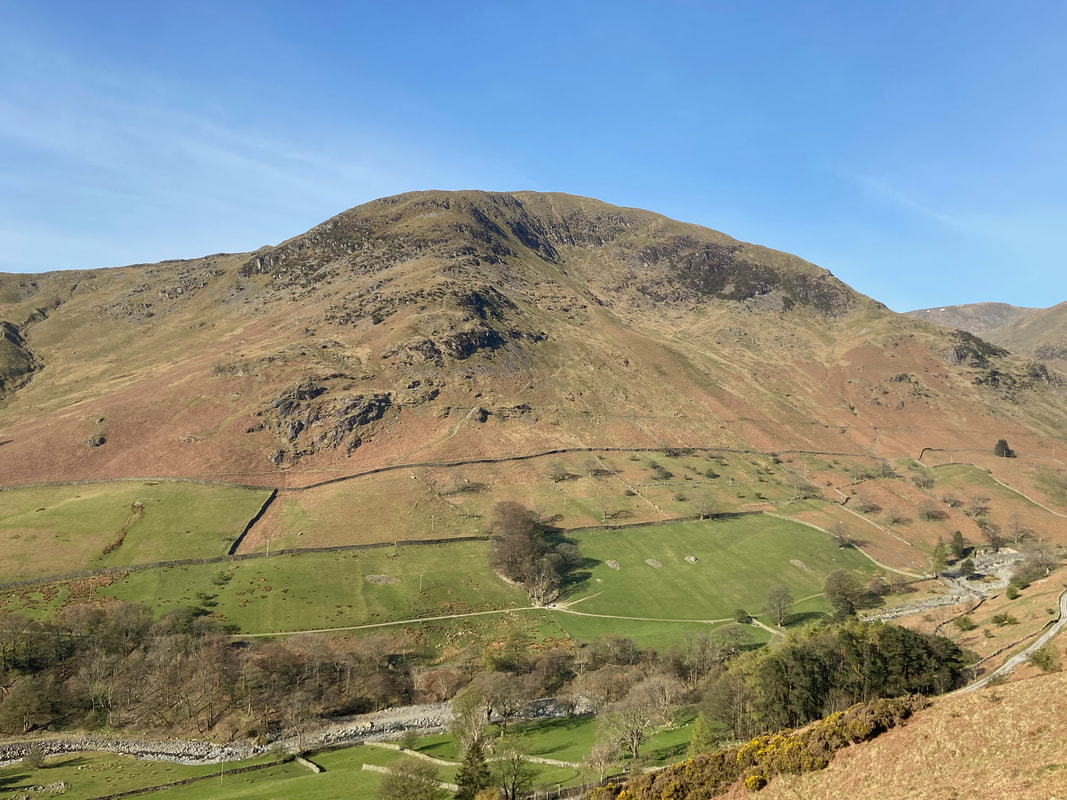
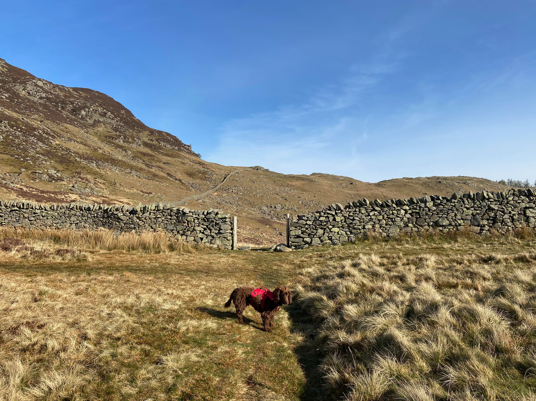
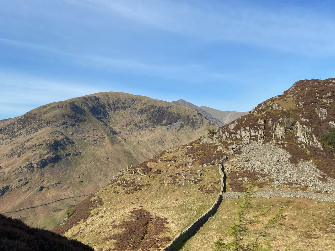
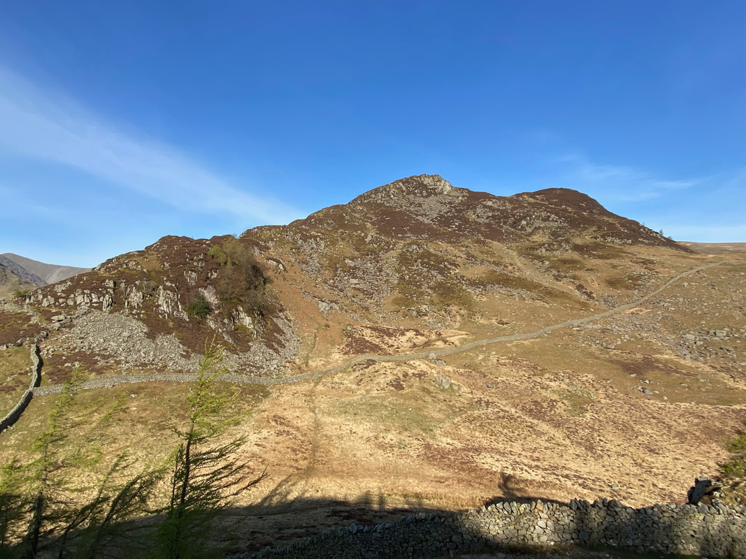
Glenridding Dodd, Sheffield Pike, Catstycam & Birkhouse Moor - Sunday 25 April 2021
Route
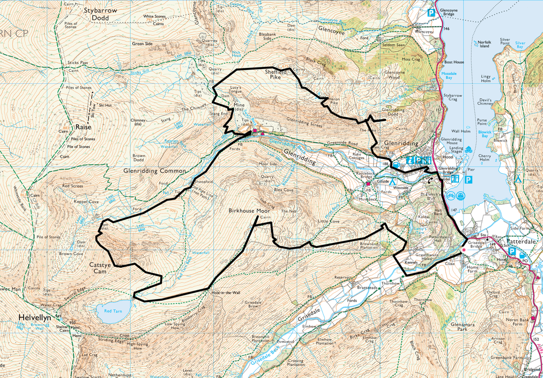
Patterdale - Grisedale Bridge - Glenridding - Greenside Road - The Rake - Glenridding Dodd - Heron Pike - Sheffield Pike - Nick Head - Greenside Mine - Keppel Cove - Catstycam - Red Tarn - Birkhouse Moor - Patterdale
Parking
Lots of parking in Patterdale - £5 all day (as at 2022) at King George V Car Park (opposite Patterdale Hall) - Grid Ref NY 390160. The nearest postcode is CA11 0PX.
Mileage
11.2 miles
Terrain
Good mountain tracks & paths for the most part. There is a section between leaving the Red Tarn path at Grid Reference NY 35644 16707 and the dam at Keppel Cove which is on a vague path and can become slightly boggy after rain.
Weather
Just glorious - sunshine and light breezes with excellent visibility.
Time Taken
7hrs 40mins
Total Ascent
4087ft (1246m)
Wainwrights
4
Map
OL5 - The English Lakes (North Eastern Area)
Walkers
Dave & Fudge with Rob Newby
|
GPX File
|
| ||
If the above GPX file fails to download or presents itself as an XML file once downloaded then please feel free to contact me and I will send you the GPX file via e-mail.
Route Map
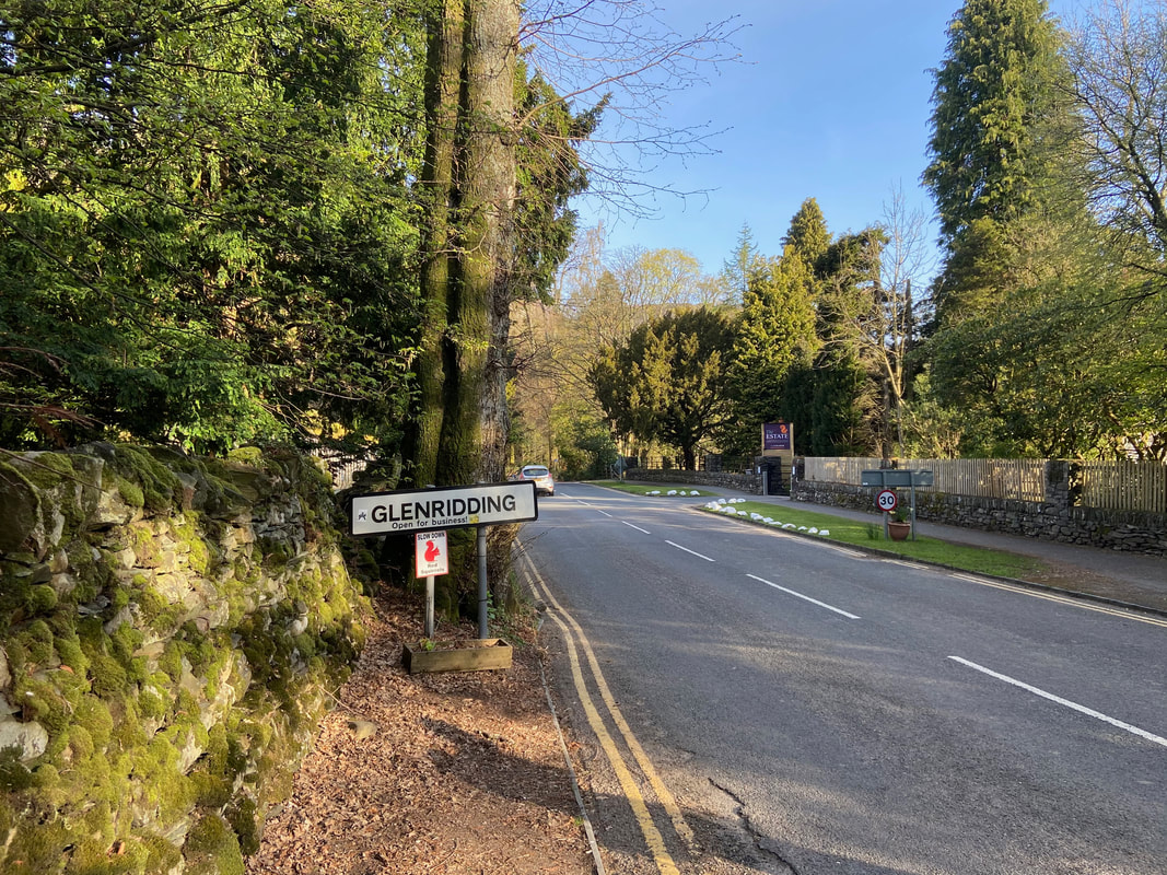
From the Car Park the route heads along the A592 from Patterdale to Glenridding
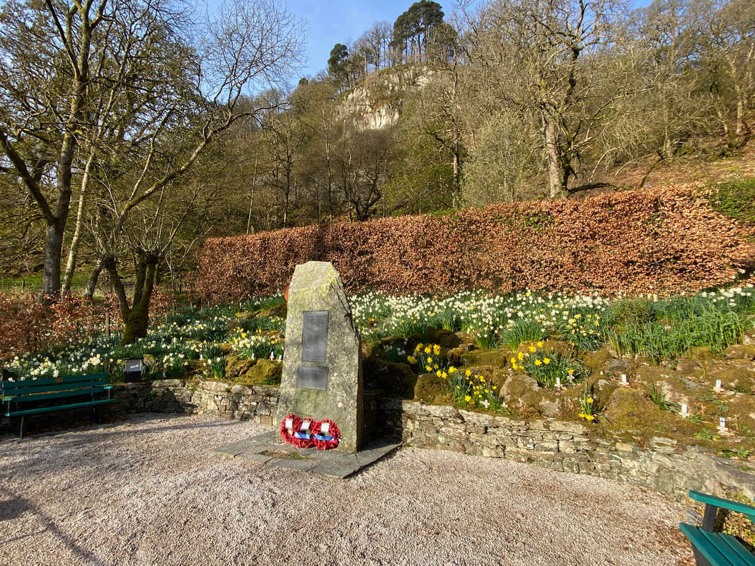
Passing the War Memorial as we enter Glenridding
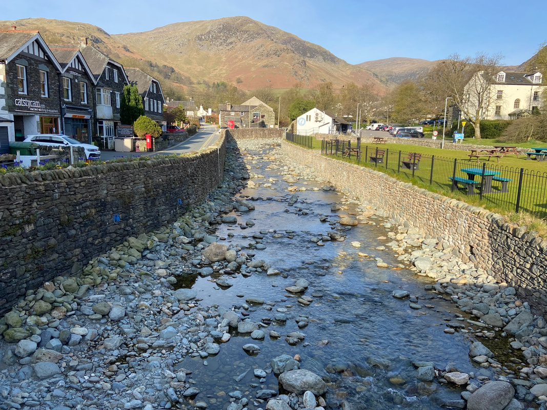
Birkhouse Moor & Glenridding Beck from Glenridding Bridge
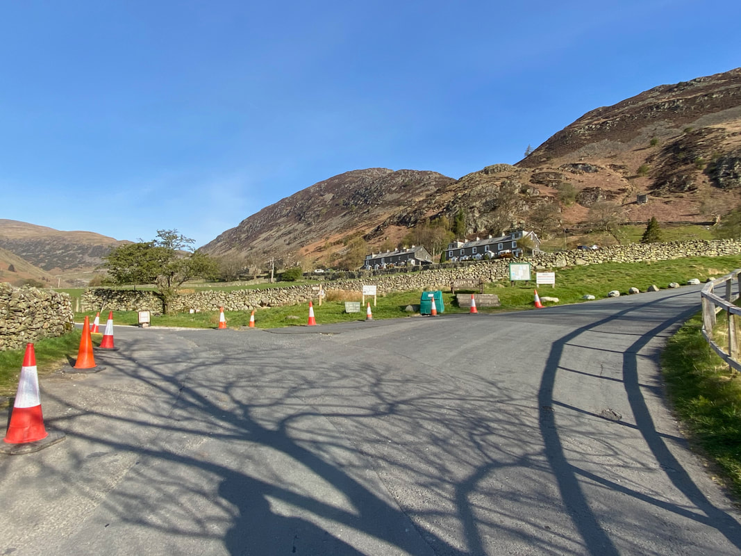
From the village the route heads up Greenside Road and swings around to the right to continue up to Rake Cottages which can be seen centre right below Glenridding Screes. The road to the left leads to Gillside & Rattlebeck Bridge.
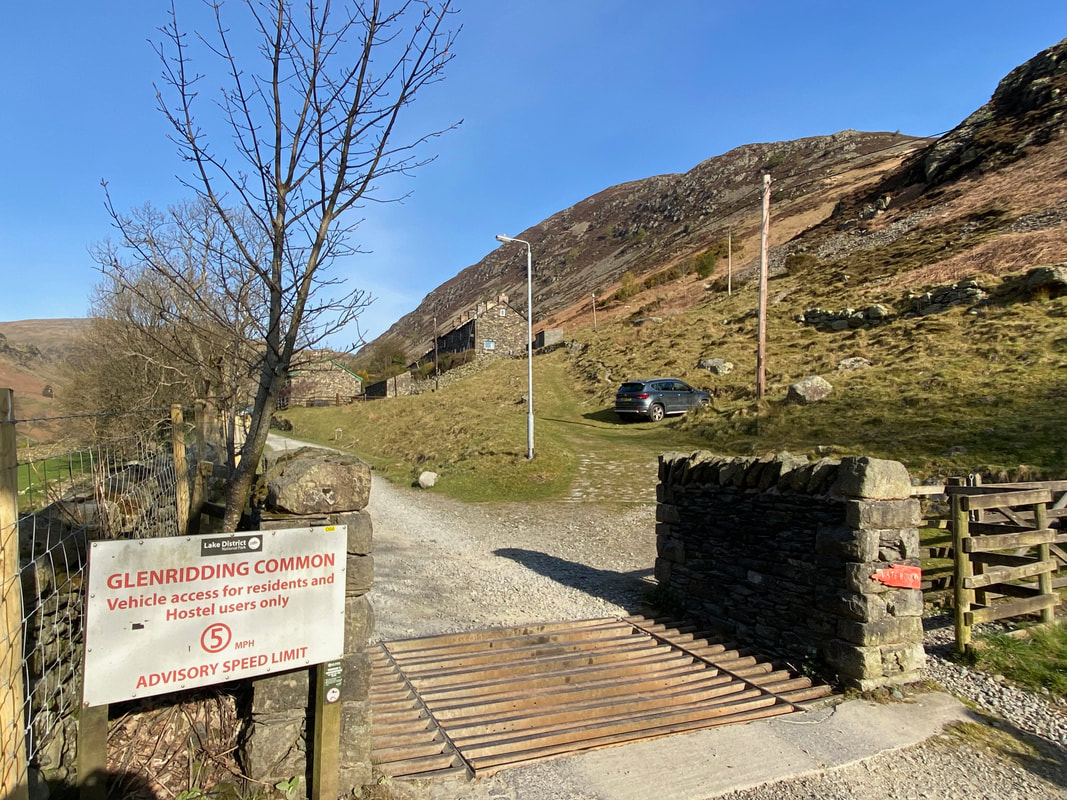
The public road ends at a cattle grid and the track continues to Greenside Mine. Our route today headed immediately off the track up the gently sloping path towards the back of the cottages before turning to the right.
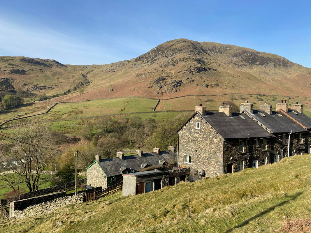
Birkhouse Moor from the ascent of The Rake looking over Rake Cottages. The cottages were built in the mid 1800s to house workers from the Greenside Mine a mile up the valley.
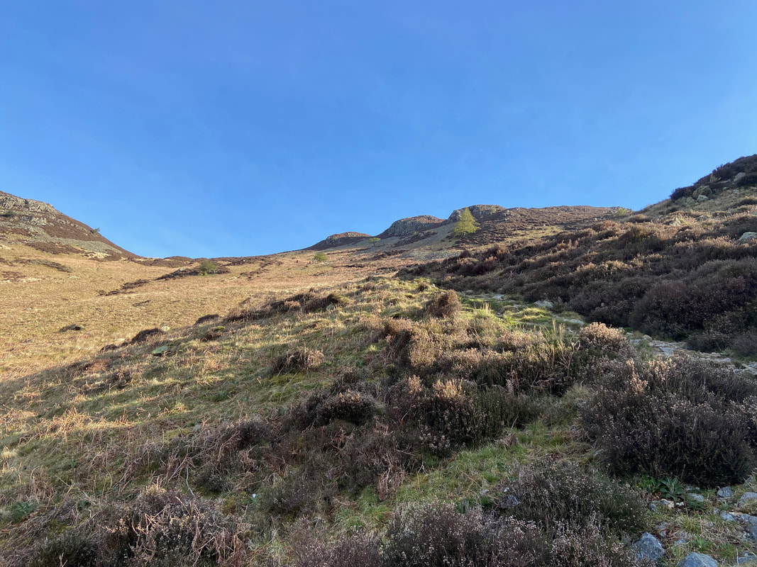
Heading steeply up The Rake towards the col between Heron Pike to the left and Glenridding Dodd to the right.
Another closer look at Birkhouse Moor to The Nab & Nab Crag
The col at the top of The Rake with the path to Heron Pike to the left and Glenridding Dodd to the right. Through the wall gap and turning to the left to follow the wall leads to Seldom Seen - turning right leads to a path heading down Mossdale Beck to reach the A592.
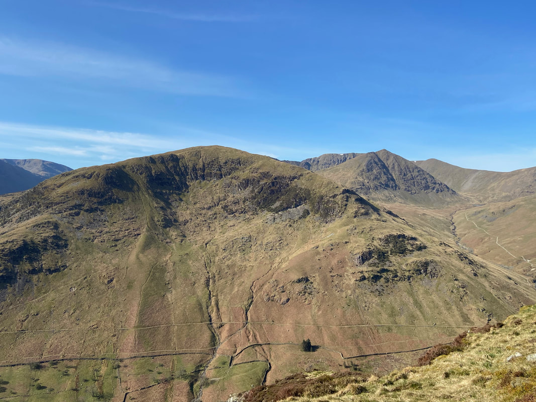
Birkhouse Moor, Catstycam & Helvellyn Lower Man with our route up Heron Pike to the right
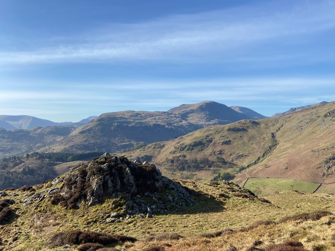
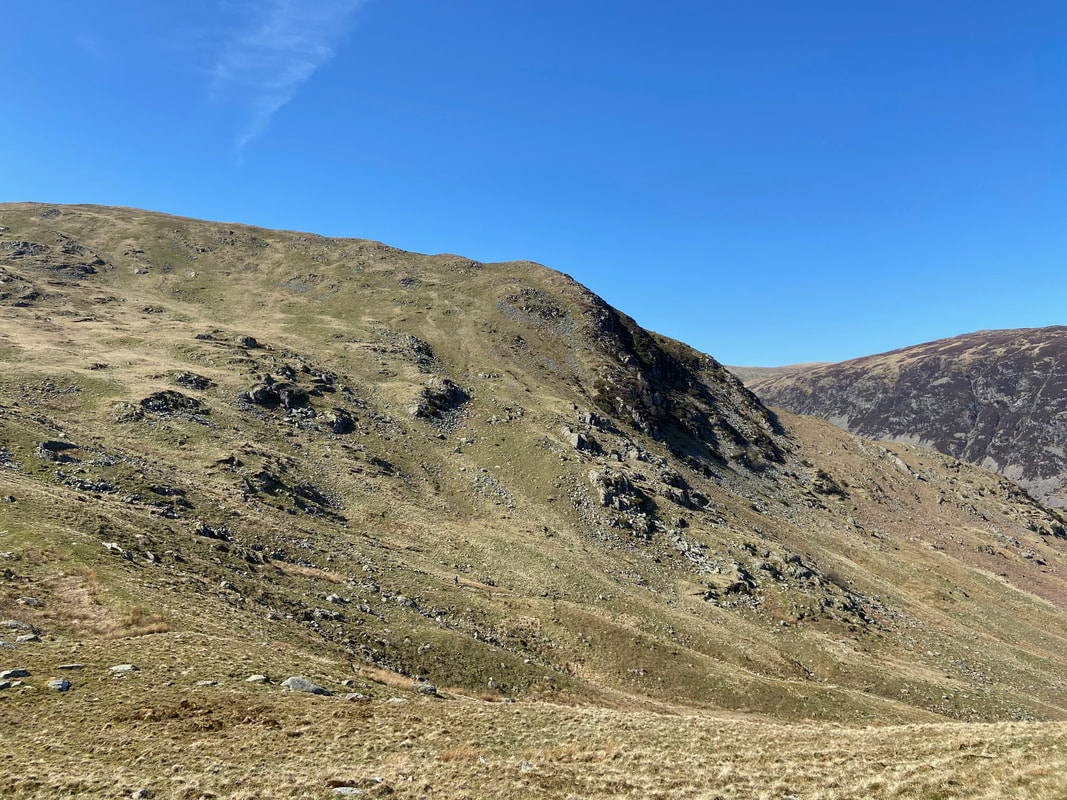
Heron Pike & Black Crag on Sheffield Pike from the ascent of Glenridding Dodd
The summit of Glenridding Dodd
The view south west from the summit of Glenridding Dodd to Birks, St Sunday Crag & Fairfield
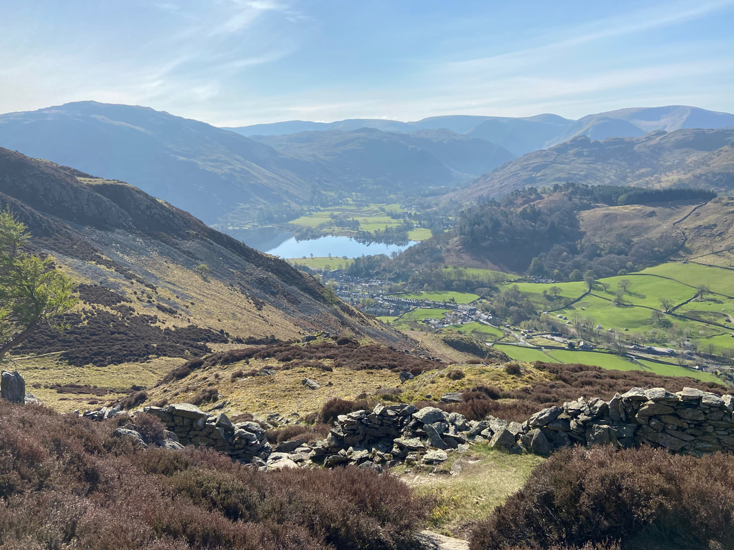
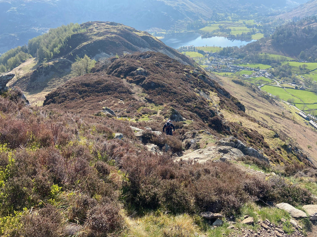
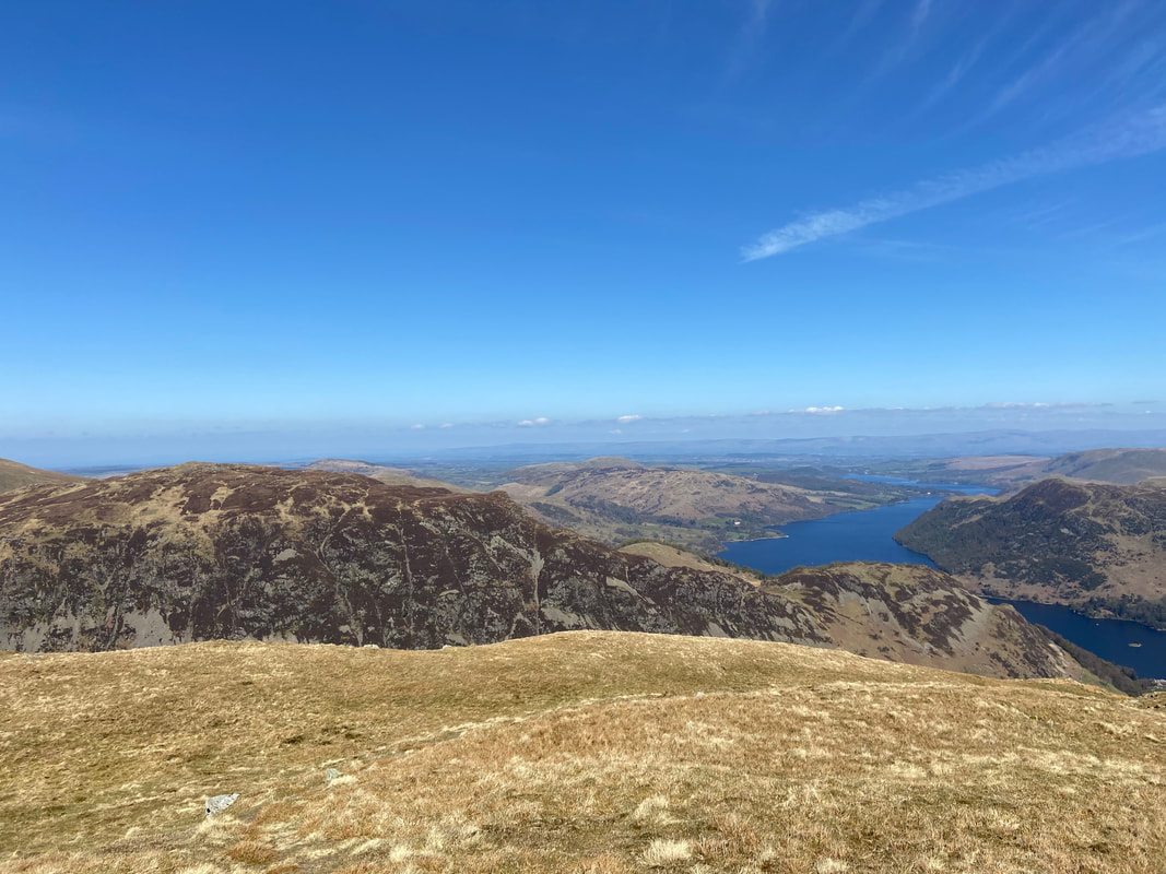
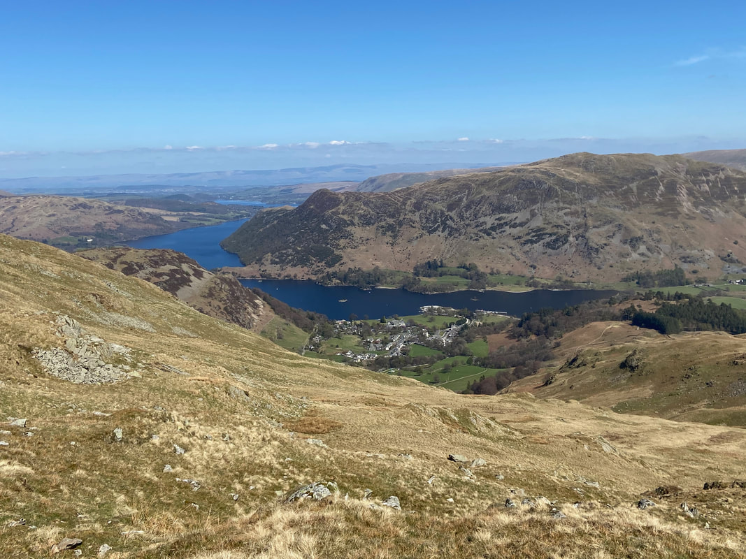
Ullswater, Glenridding & Patterdale from the ascent of Heron Pike
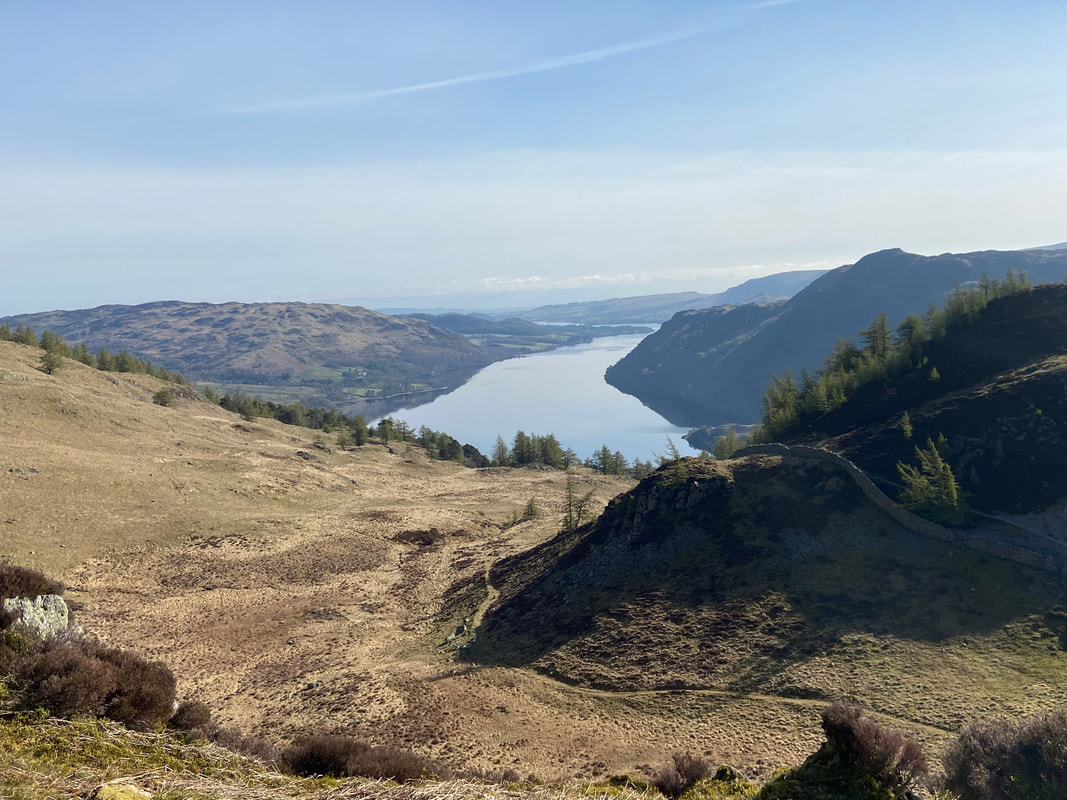
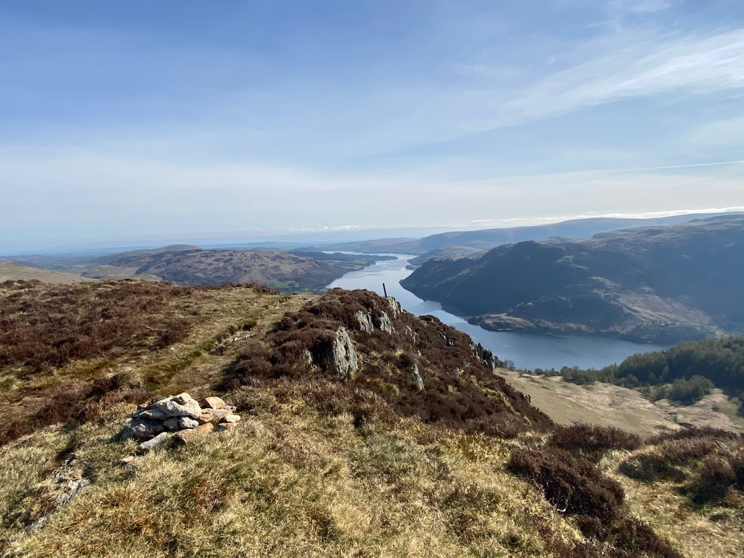
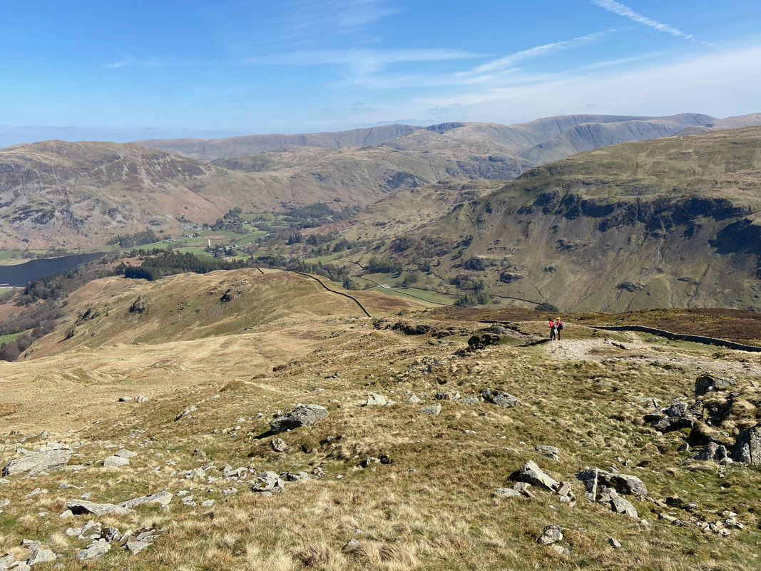
Ascending Heron Pike looking down Ullswater in the direction of Pooley Bridge. The path snaking its way around the base of the knoll is the route down Mossdale Beck to reach the A592.
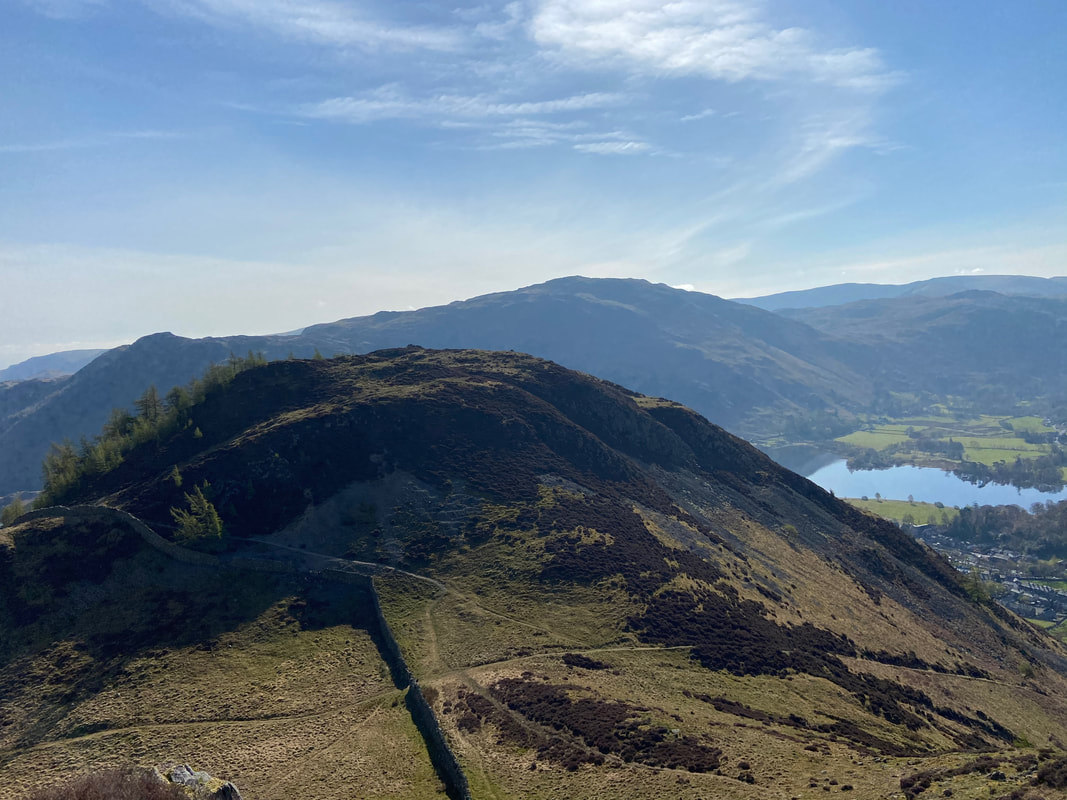
A little further around to view Glenridding Dodd with Place Fell over Ullswater to the rear. The route to the summit of Glenridding Dodd is the one above the wall heading left which switches back on itself to reach the top.
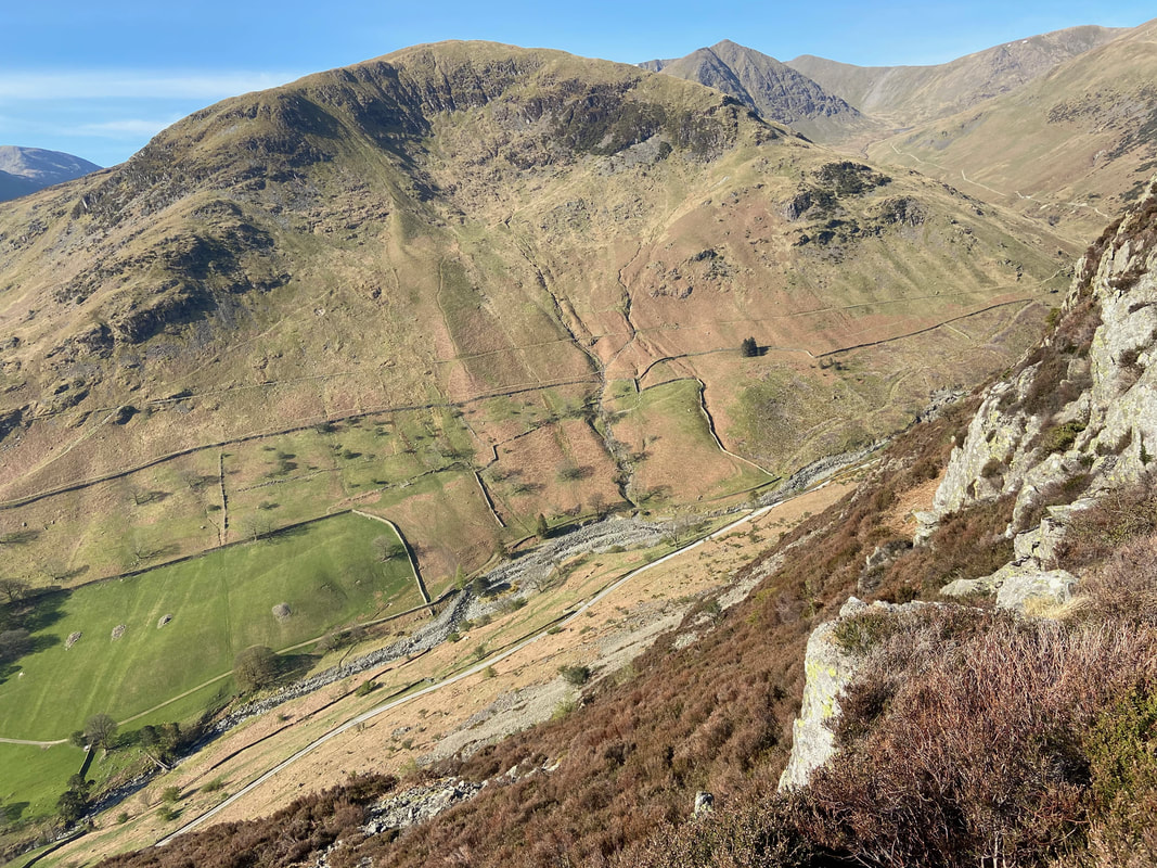
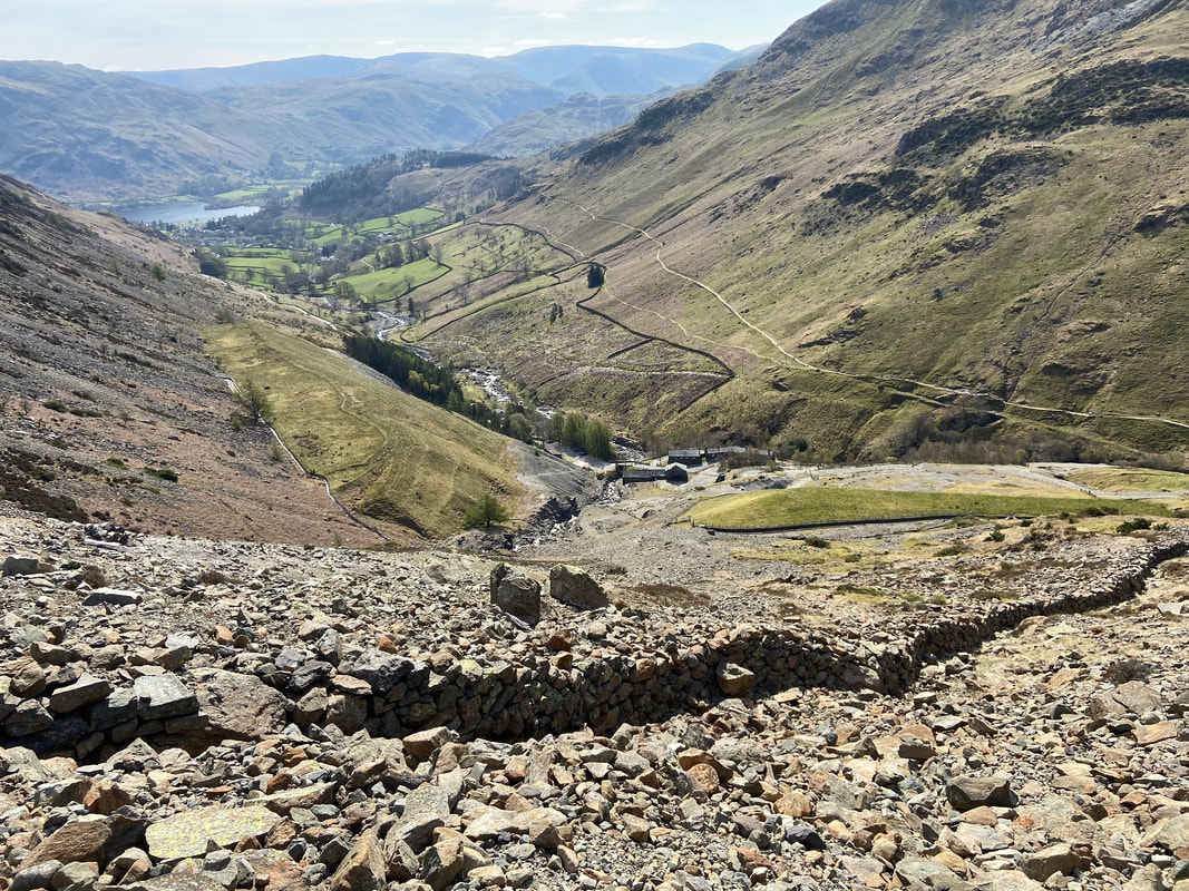
Looking down to the Greenside Mine road with Birkhouse Moor a commanding presence to the rear. The posted tip of Catstycam is centre right with the upper Keppel Cove path clearly visible.
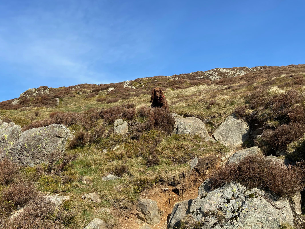
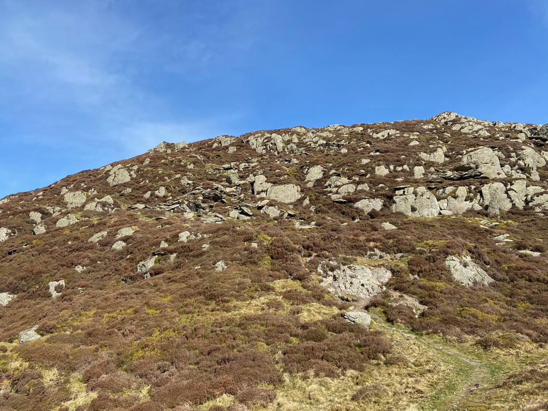
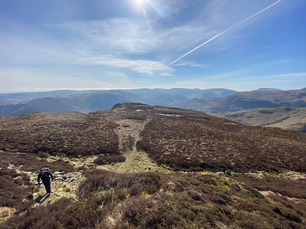
Continuing to ascend Heron Pike - the ascent is quite steep and rough in places but provides fantastic views.
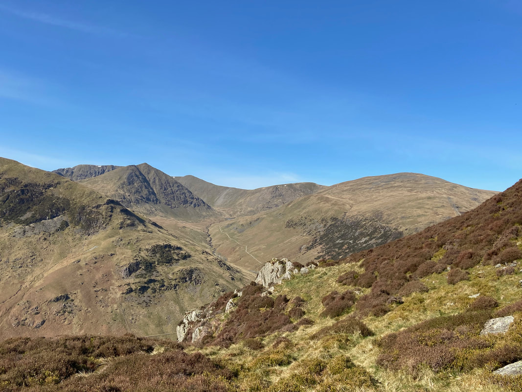
As height is gained the views really do open out as Helvellyn now comes into view on the left as well as Catstycam, Lower Man, White Side & Raise.
As usual, his Lordship had no time for resting or taking photographs
Another great view of the bulk of Birkhouse Moor
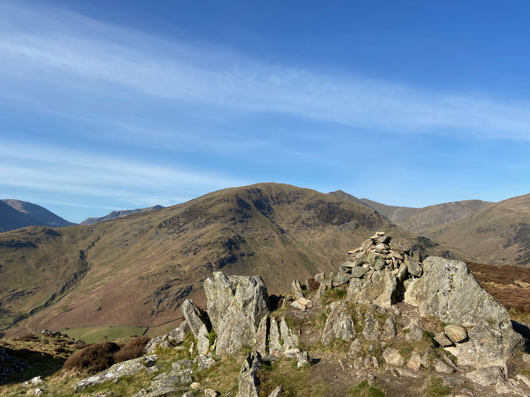
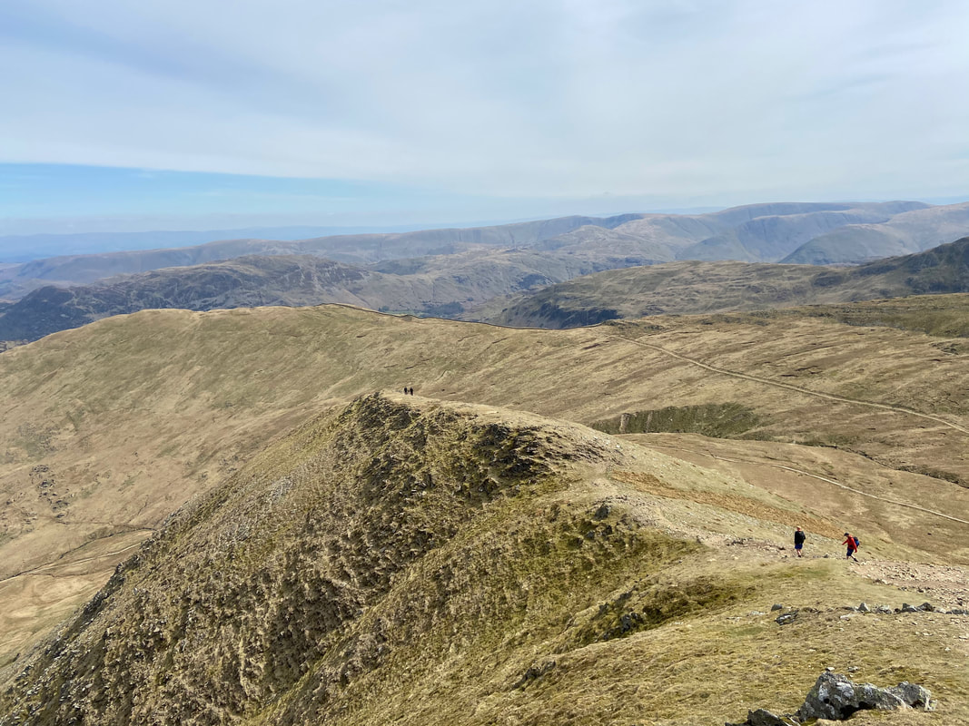
The final gentle scramble to the summit of Heron Pike
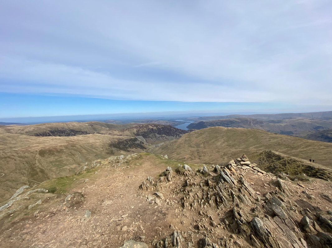
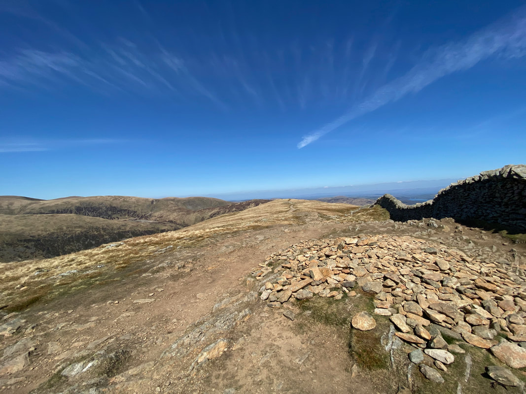
The summit of Heron Pike looking down Ullswater
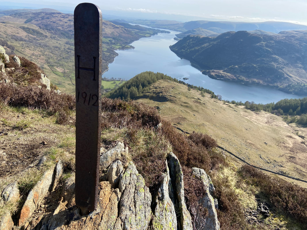
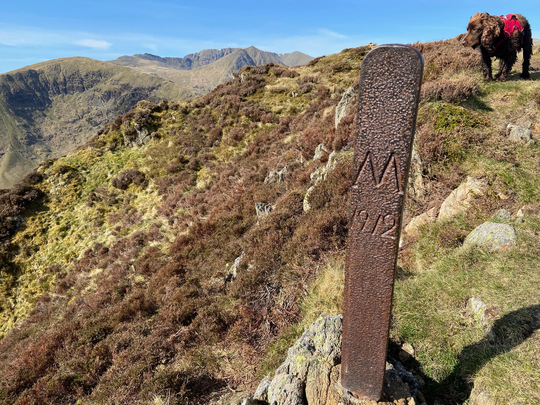
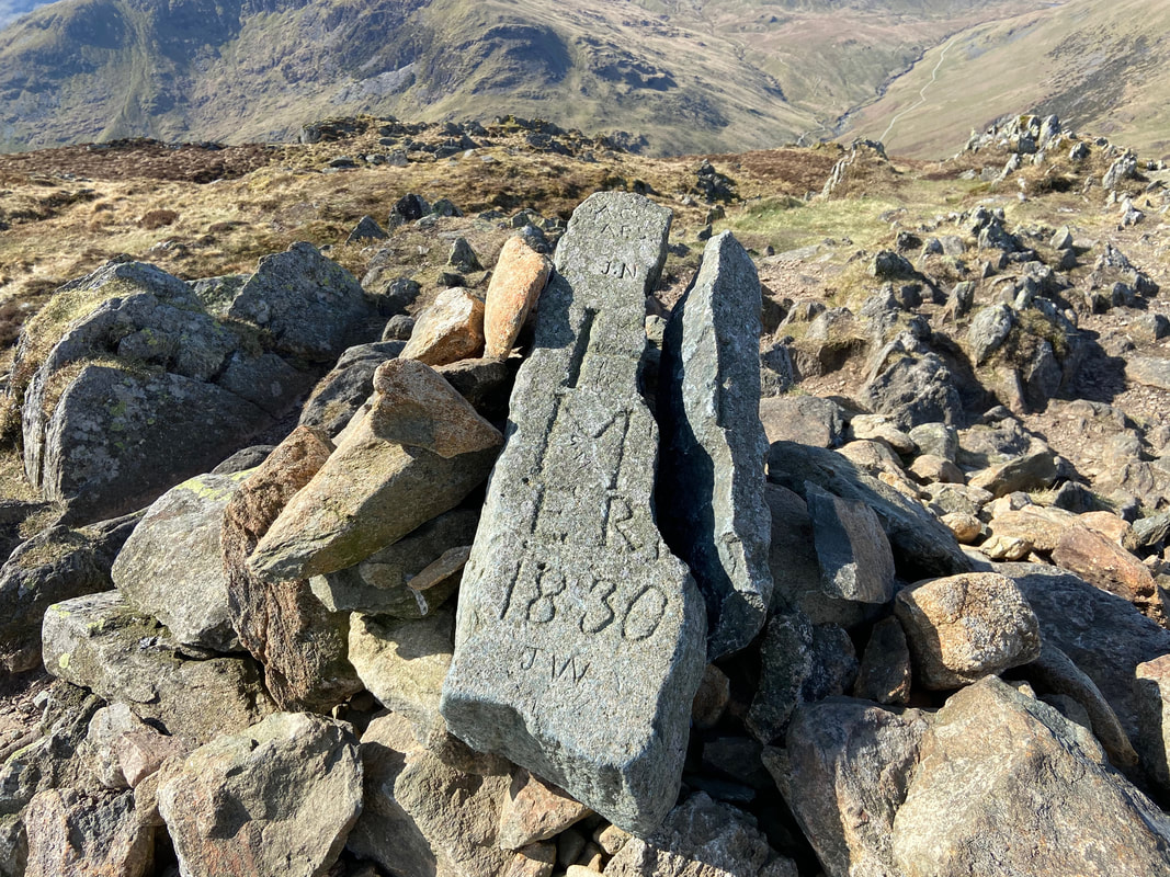
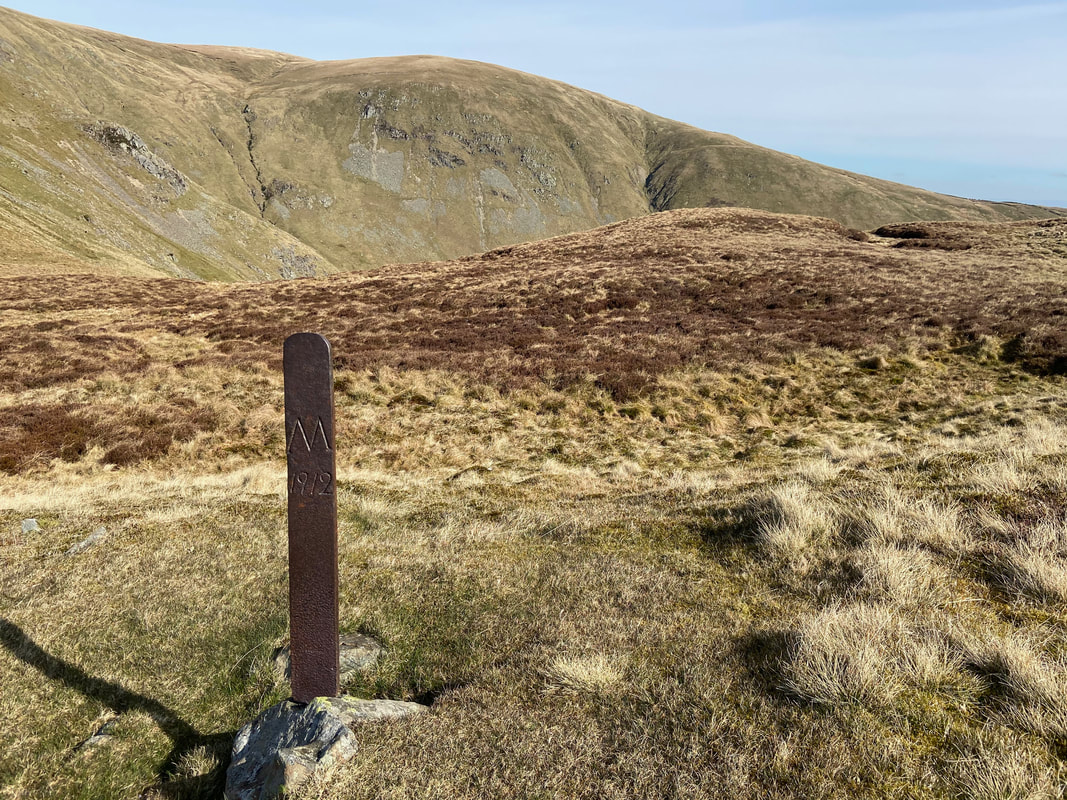
One of two iron boundary markers in the vicinity inscribed “H 1912” on one side and “M 1912” on the other. These mark the boundary between the Howard estate of Greystoke and the Marshall estate of Patterdale. The summit cairn on Sheffield Pike also carries an old stone boundary marker with the H and M initials as well as ER and the date 1830.
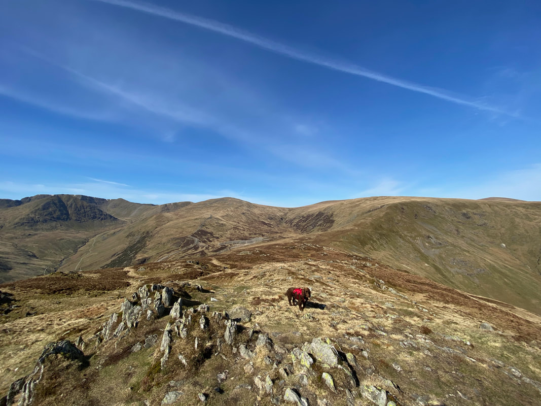
Looking back to Heron Pike as we make the short transit over to Sheffield Pike
A great view of the Helvellyn Range with Fairfield over to the left
The stone boundary marker on the summit of Sheffield Pike. This is the first time I have seen it broken in two and I just hope that the split was caused naturally and not by wanton vandalism that seems so prevalent amongst society these days.
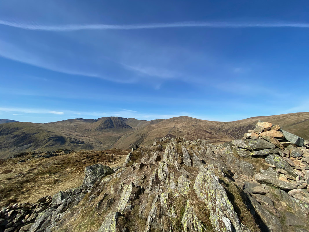
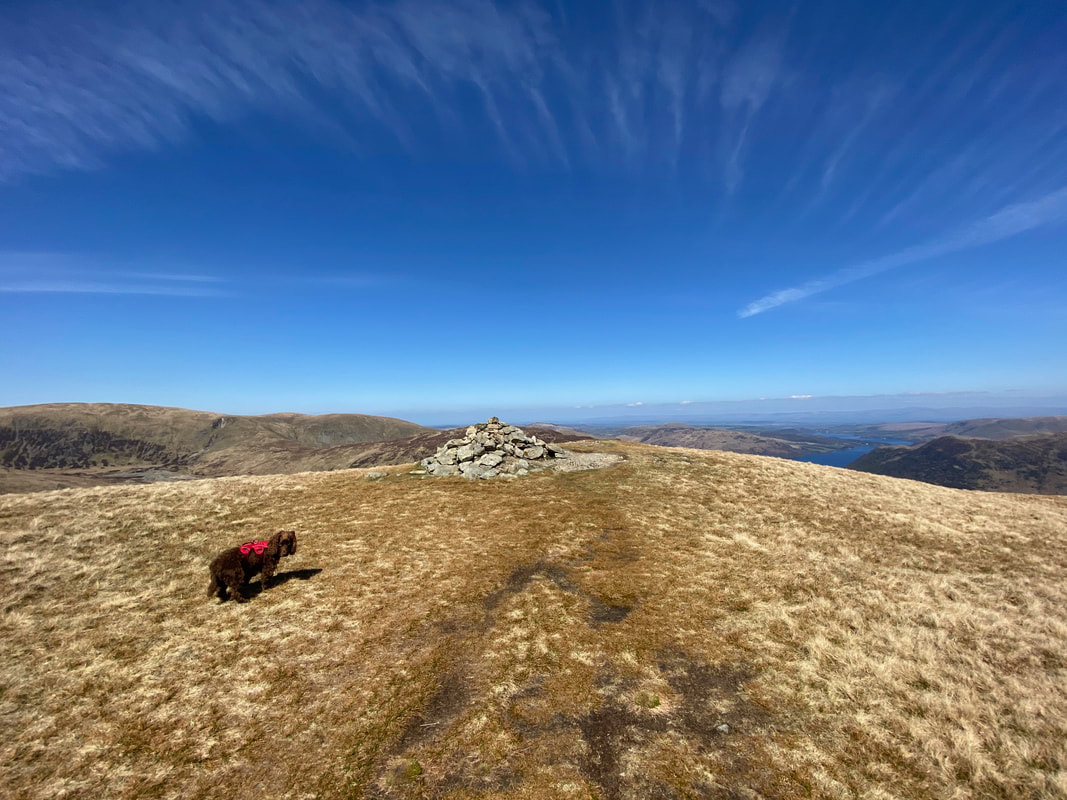
The summit of Sheffield Pike
From Sheffield Pike we would now drop down to Nick Head and the Greenside Mine workings to then head left and make our way to Catstycam
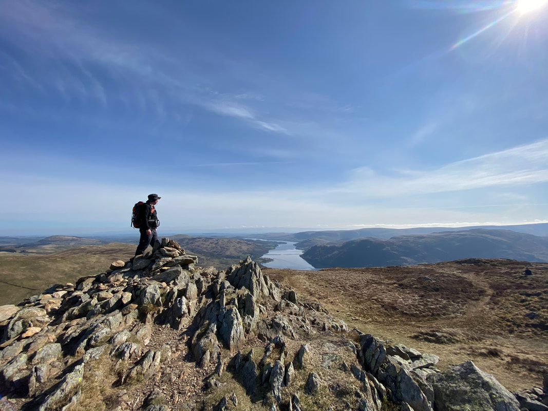
Rob on the summit of Sheffield Pike
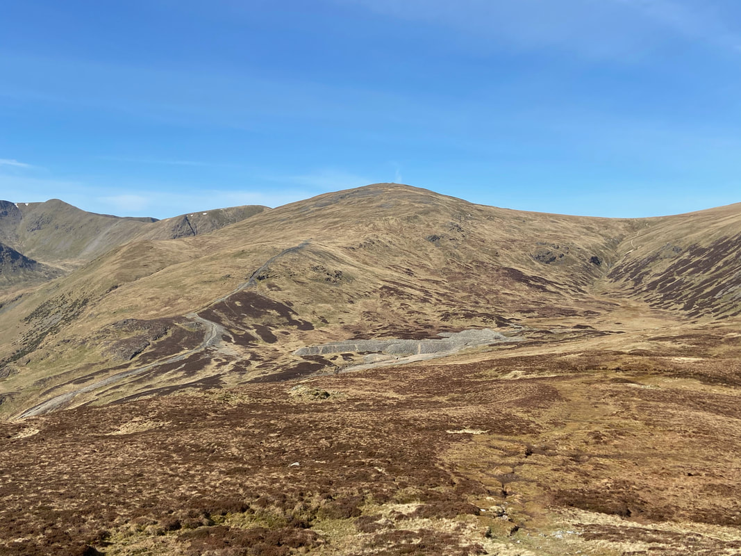
A closer look at the Greenside Mine workings with the Chimney path up to Raise on the left and the Sticks Pass to the right
The second iron boundary marker which is just above Nick Head
Looking over the mine workings to Green Side (White Stones)
The Chimney path that leads to just below Raise. The almost mile long Chimney is marked on the 1:25 OS Map and its course is followed all the way rising to the ruined chimney stack on Stang. It is actually a Smelter Flue having collapsed when it fell into disrepair when no longer used once the smelt mill closed in 1917. A deep section would have been cut out of the bedrock and the flue would have been built almost circular with bits of large stone and covered with soil & grass. The flue was designed to deposit the noxious fumes from the smelter a long way from the mine located in the valley.
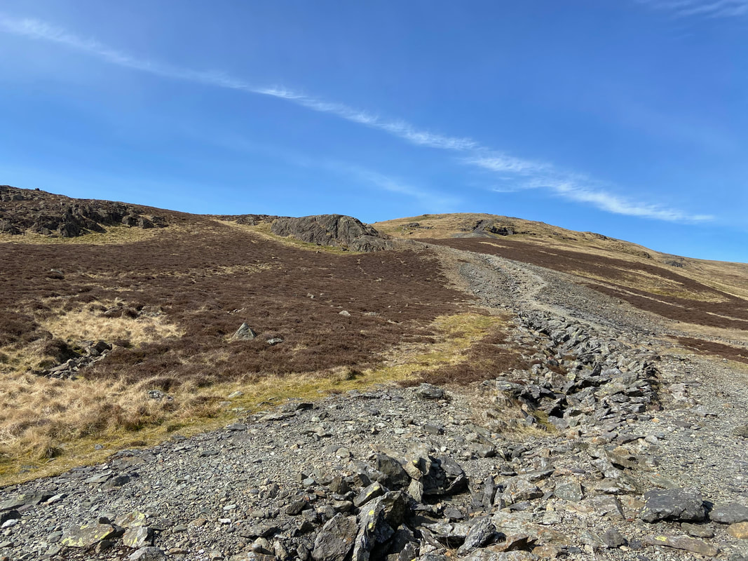
From below The Chimney path the route drops down to the valley floor via a zig zagging path below Stang End
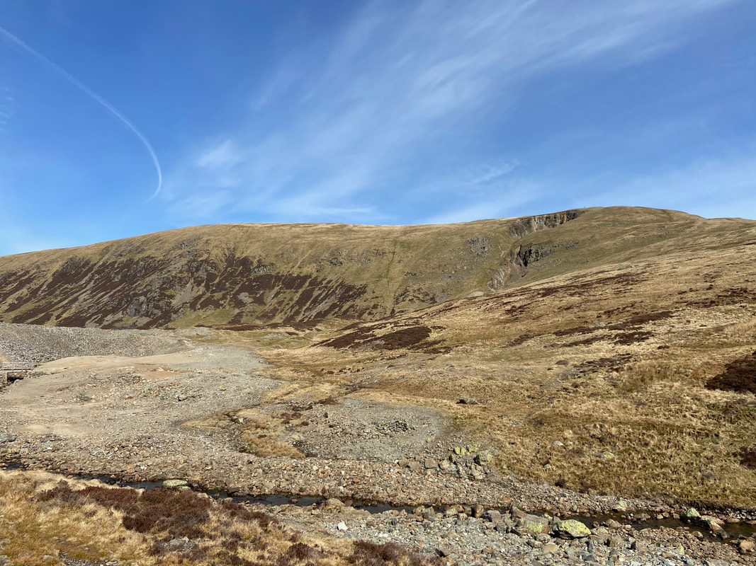
The Greenside Mine buildings with Glenridding beyond
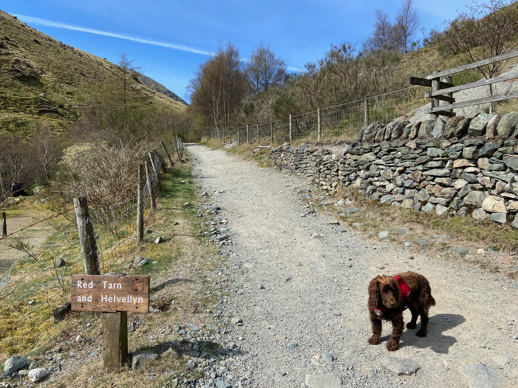
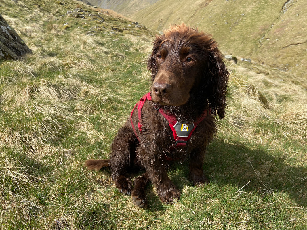
Fudge as usual had his built in GPS fully on and politely reminded us that we were to follow the Red Tarn & Helvellyn path for a bit
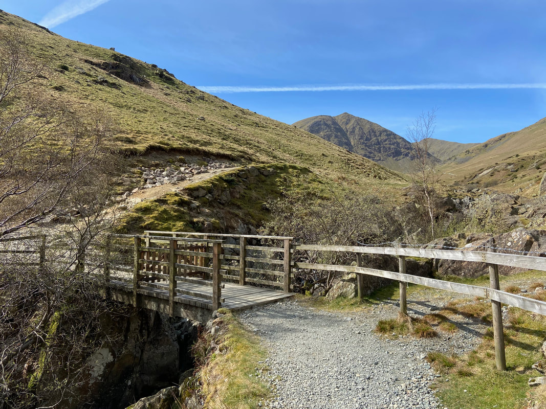
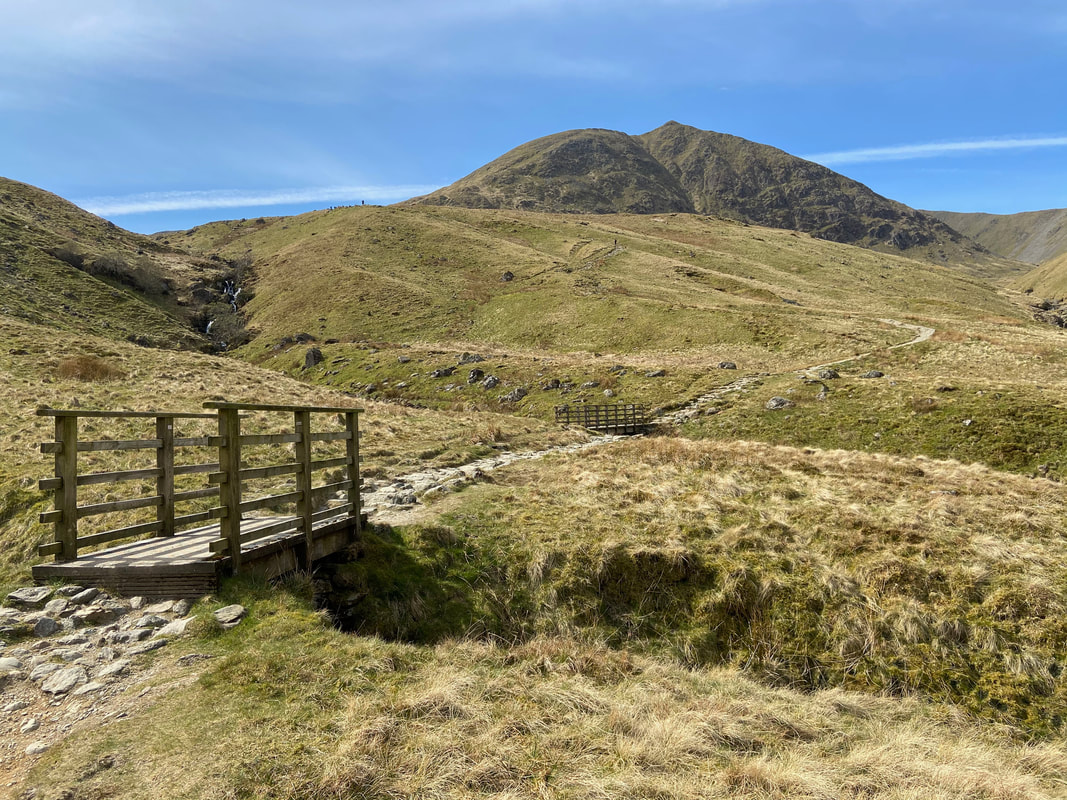
The Red Tarn path crosses Glenridding Beck via this footbridge - there is another path on the northern side of the beck that also leads to Keppel Cove
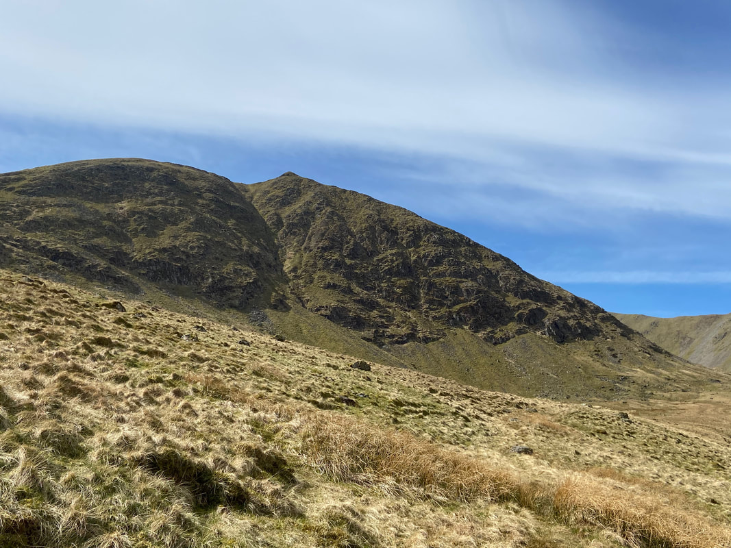
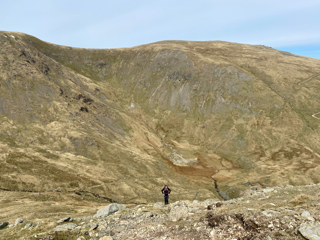
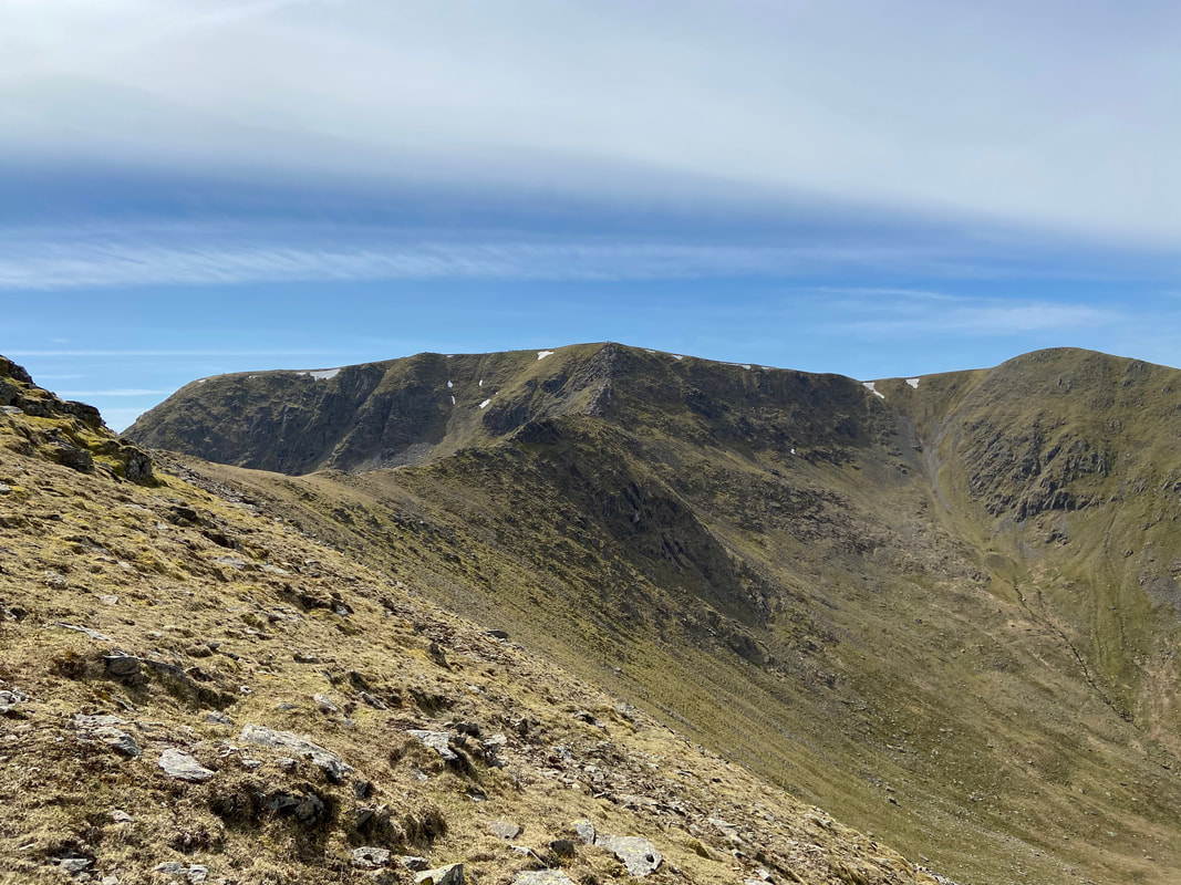
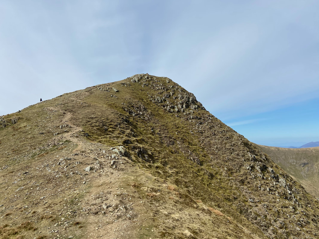
The steep north west ridge of Catstycam now in view on the right of the mountain. This would be our ascent today and is a fabulous way to climb it.
The Red Tarn path continues on to cross these two footbridges to then swing left. We would break off from this path on the bend ahead and head to Keppel Cove on an intermittent path to reach the dam. The route breaks off from this one at Grid Ref NY 35644 16707.
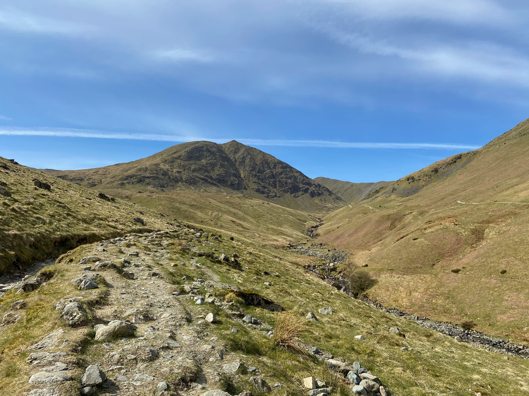
The terrain to Keppel Cove, whilst pathless is easy going with the odd section of surface water and improves as the dam is neared.
Someone has been arsing about in Glenridding Beck whilst my back was turned.
Continuing over the pathless terrain as Catstycam nears and the steepness of the ridge becomes more prominent.
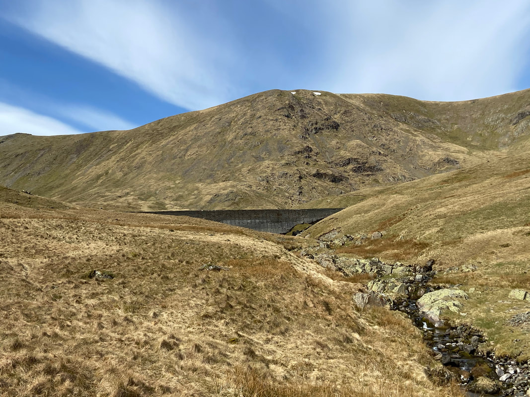
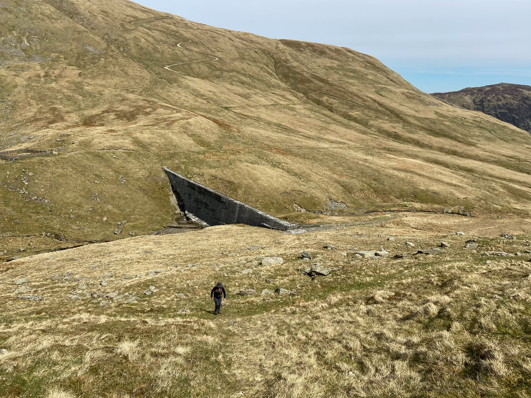
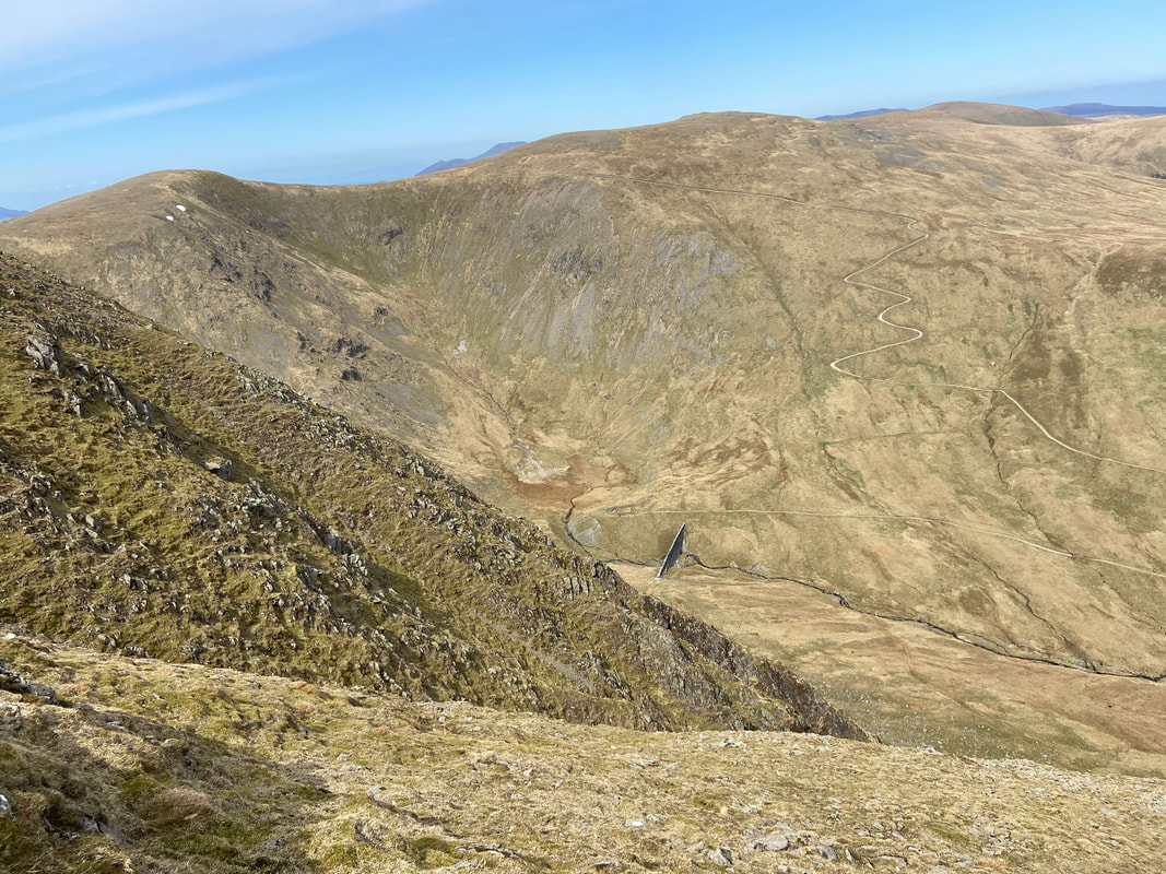
The breached dam at Keppel Cove.
Keppelcove Tarn is a few yards behind the dam and served as a reservoir for the Greenside Lead Mine down in the valley. In 1927 a fierce storm washed away part of the original embankment which in turn raised the waters of the tarn. Consequently a huge amount of water cascaded itself down the valley towards Ullswater causing severe damage to properties in Glenridding. The original dam was replaced with this concrete one in 1928 but once again the dam was breached due in the main to its extremely poor construction. The breach can be clearly seen here on the right hand side - it was never repaired and the tarn has since all dried up.
Keppelcove Tarn is a few yards behind the dam and served as a reservoir for the Greenside Lead Mine down in the valley. In 1927 a fierce storm washed away part of the original embankment which in turn raised the waters of the tarn. Consequently a huge amount of water cascaded itself down the valley towards Ullswater causing severe damage to properties in Glenridding. The original dam was replaced with this concrete one in 1928 but once again the dam was breached due in the main to its extremely poor construction. The breach can be clearly seen here on the right hand side - it was never repaired and the tarn has since all dried up.
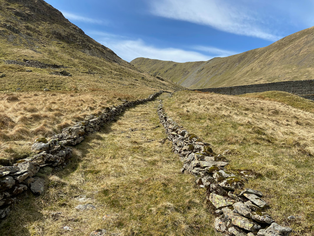
Once clear of the intermittent path an old track to the dam wall is reached
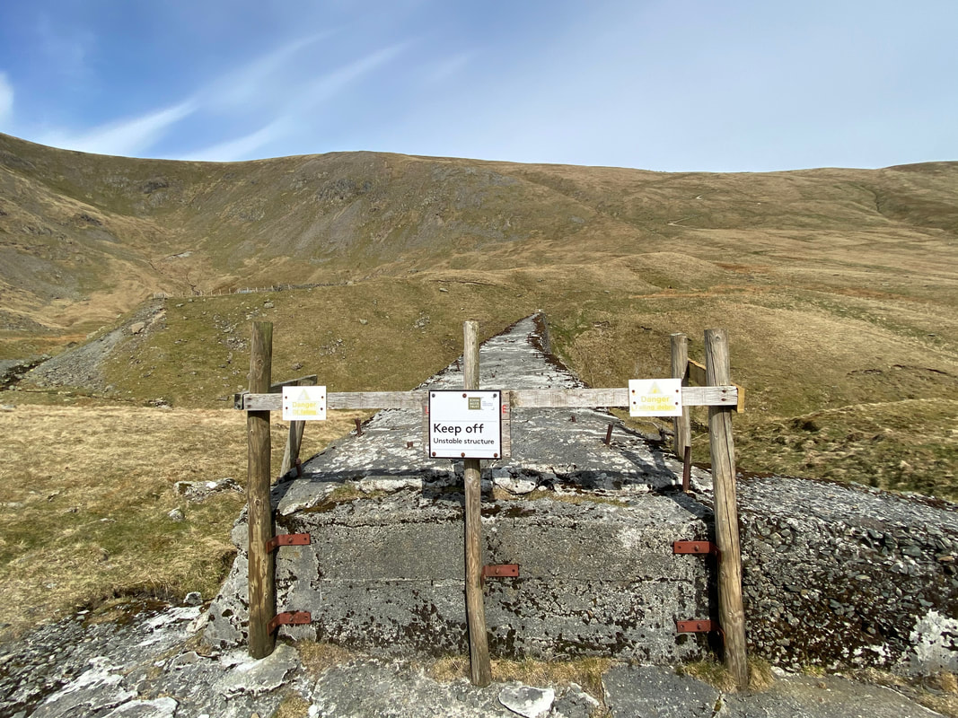
The top of the dam wall - on no account should an attempt be made to cross from one side of the beck to the other. As can be seen, it is in a pretty fragile state and anyway it is easy enough to cross over either side of the dam. The embankment of the original dam can be seen to the rear with the dried up tarn behind it.
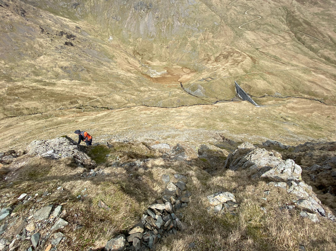
And so it begins - the steep ascent of Catstycam's north west ridge
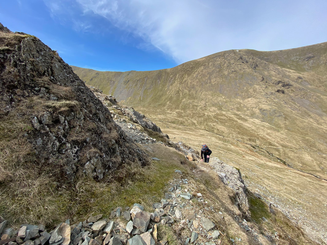
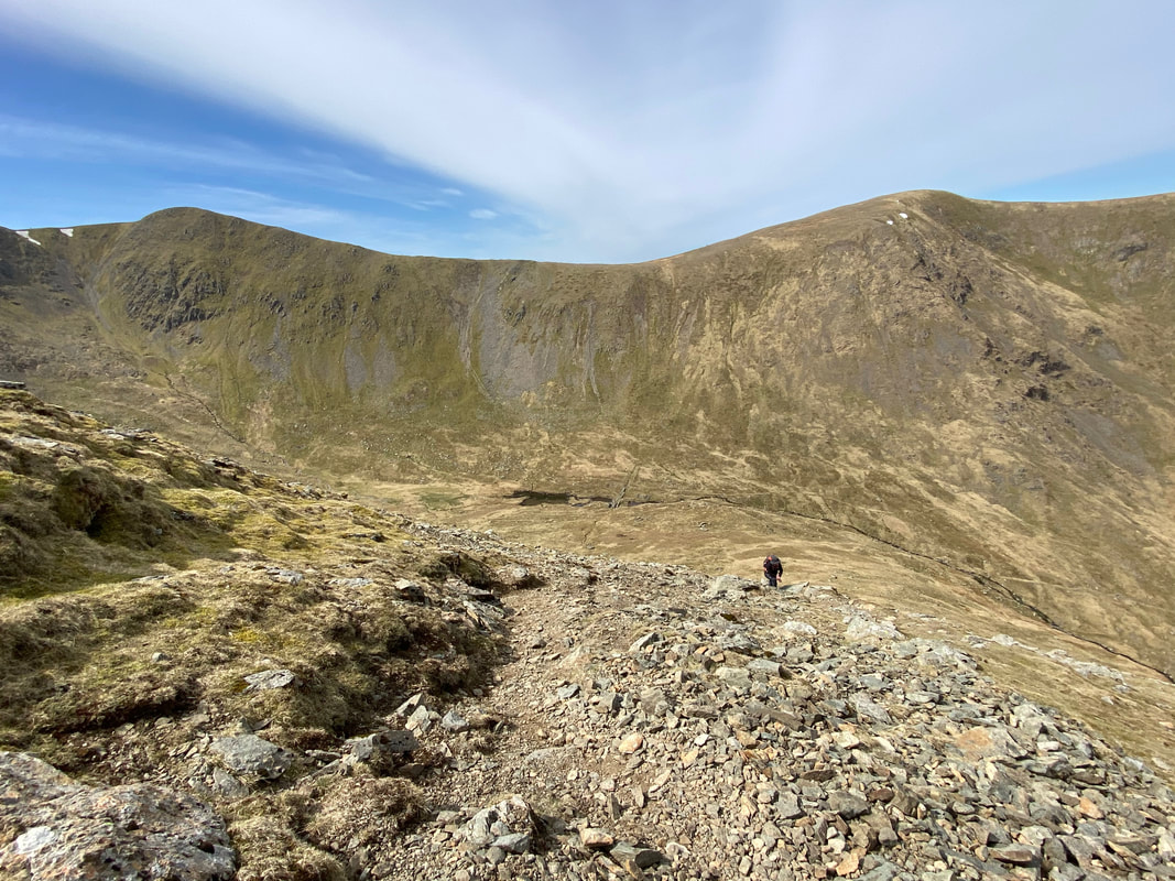
After a grassy start the route becomes stony and steep
Brown Cove to the rear as we continue our ascent - I could tell Rob was enjoying the ascent although that's not what he said at the time.
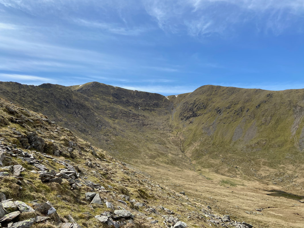
As we gain height there is a clearer view of Brown Cove and Helvellyn Lower Man
Raise provides the fantastic backdrop as we have one of many breathers on the steep ascent
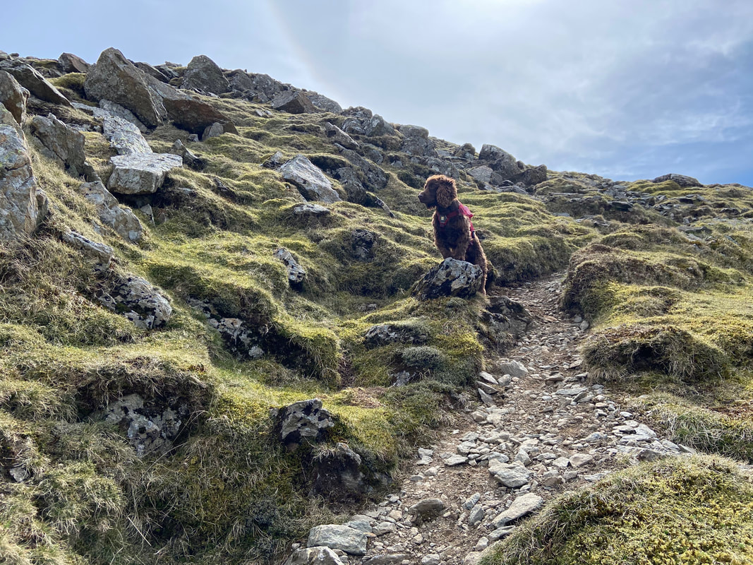
Meanwhile Fudge muses over when lunch time is as he hasn't had anything to eat for at least 15 minutes.
The steepness was unrelenting and seemingly never ending as we near the summit - Brown Cove sits below with Helvellyn Lower Man to the left and White Side to the right.
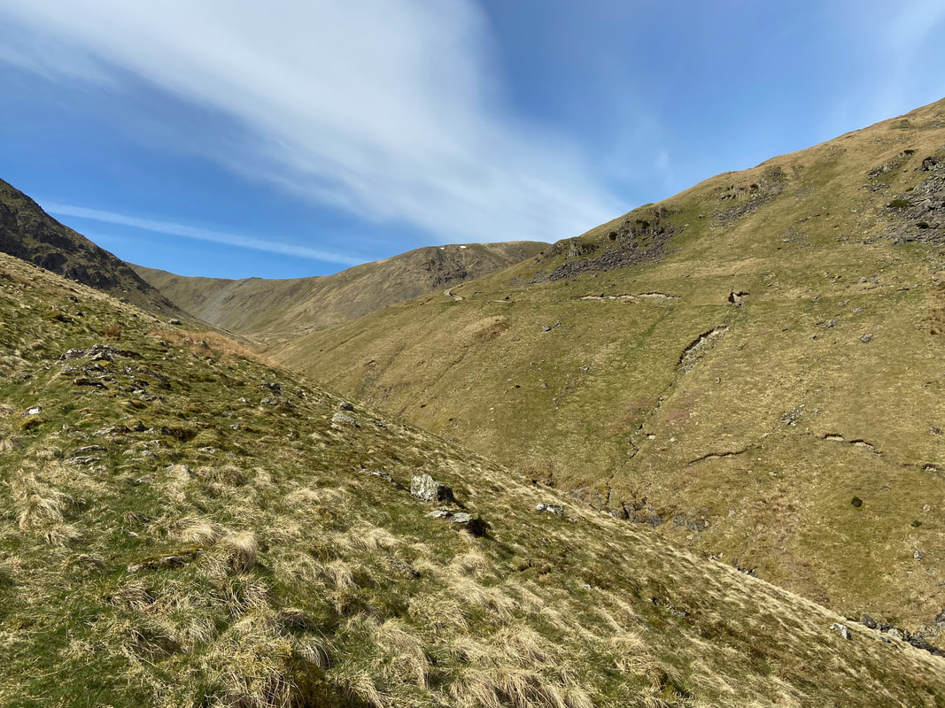
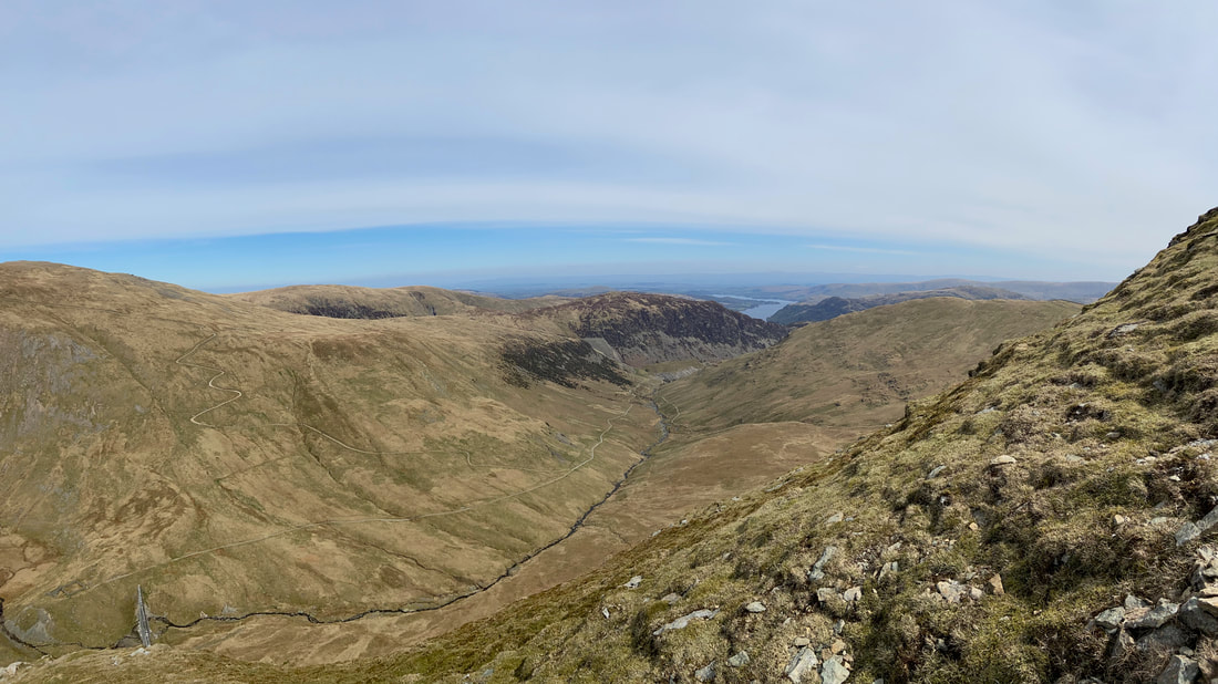
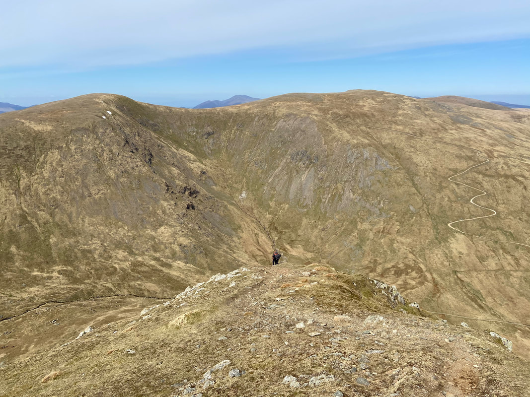
Looking back down Glenridding Beck. The path to the left is the Keppel Cove zig zags to Raise & White Side.
Our first view of Swirral Edge with Helvellyn beyond as the summit is neared.
The remaining few yards level out slightly as I look back down at Rob ascending from the summit of Catstycam. The point where Rob is ascending from is a false summit which is always good for morale!
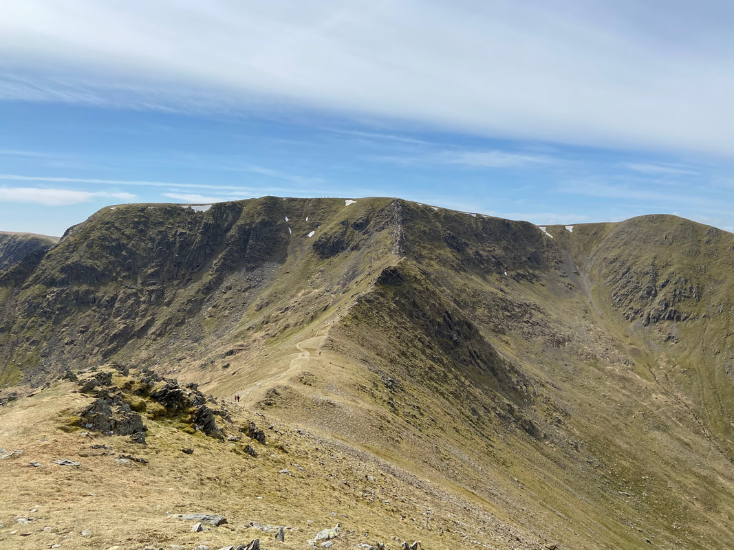
A full view of Swirral Edge from Catstycam's summit
The summit of Catstycam
Catstycam's east shoulder descent would be our way off the mountain today. The path sweeps left then sharply to the right - our path to Birkhouse Moor can be seen coming in from the right.
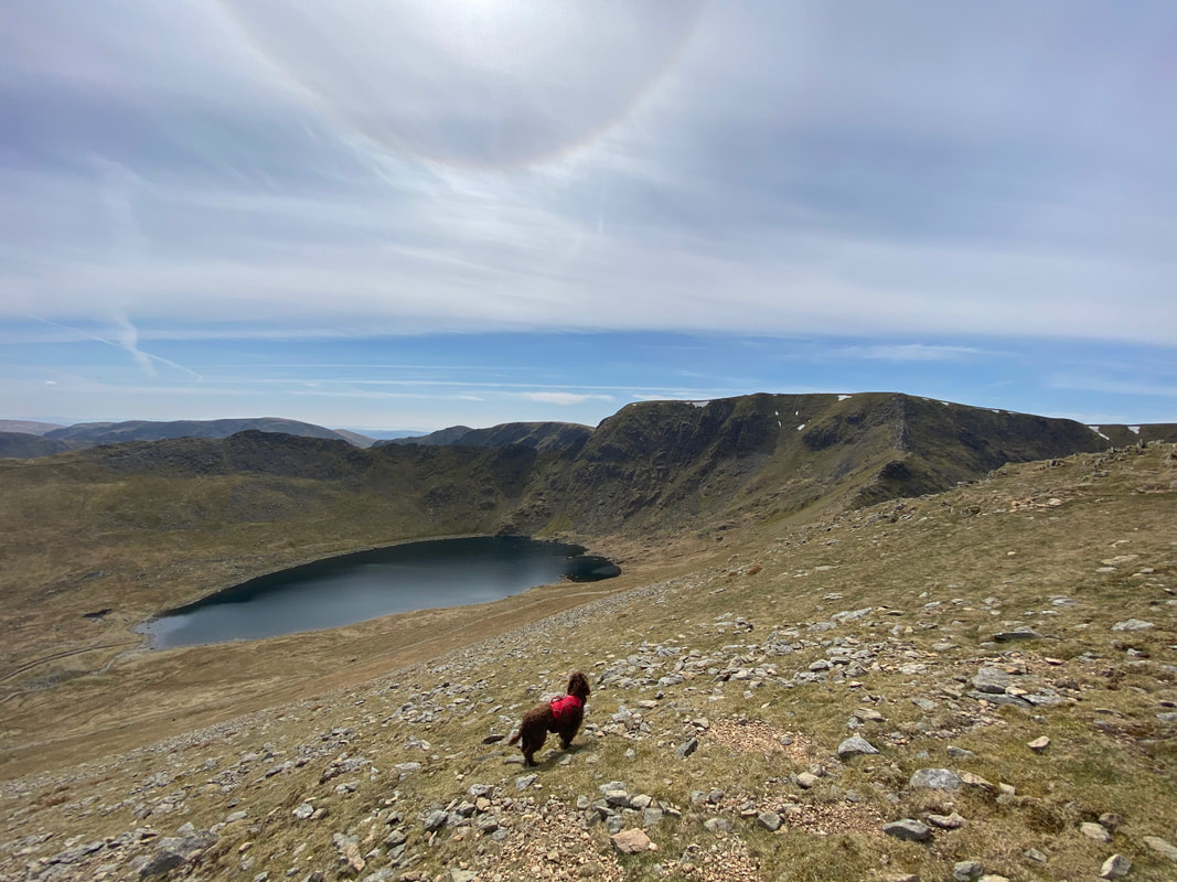
Fudge looks longingly over to Red Tarn - there was some serious doggy arsing about to be done over there later before we turned for Birkhouse Moor.
A look back up at our descent down Catstycam's east shoulder
White Side, Raise, the Keppel Cove Dam and Catstycam's north west ridge from the east shoulder
Helvellyn, Striding Edge & Swirral Edge from the Birkhouse Moor path
The famous access point for Striding Edge - the "Hole in the Wall"
The path to Birkhouse Moor's summit handrails a wall
Helvellyn, Catstycam & White Side from Birkhouse Moor
The summit of Birkhouse Moor
Further on from the summit of Birkhouse Moor is a second cairn which, whilst lower in height is by far a better view point
See what I mean?
Our descent from Birkhouse Moor back to Glenridding with Place Fell to the left and Birks to the right
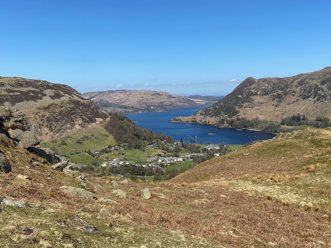
Glenridding & Ullswater
The Nab on Birkhouse Moor
The welcome sight of Glenridding after a fantastic days walking
