Kirk Fell, Pillar, Scoat Fell & Red Pike via the High Level & Shamrock Traverses - Friday 18 May 2018
Route
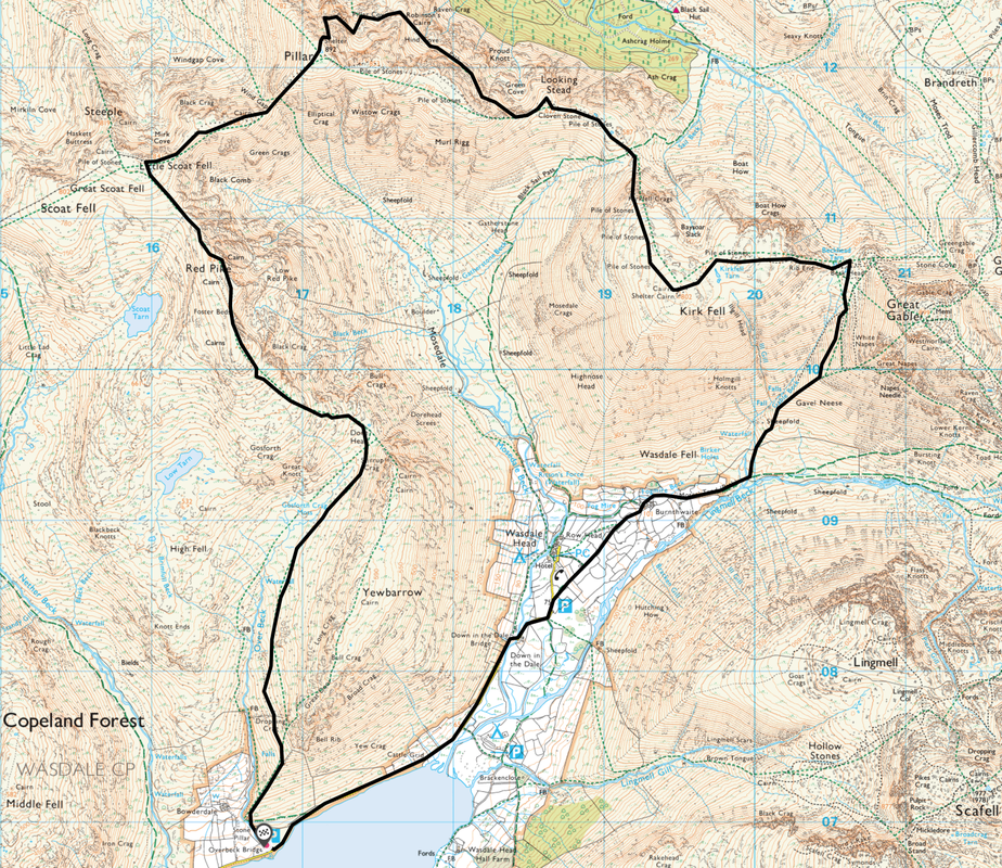
Overbeck Bridge - Wasdale Head - Burnthwaite - Gavel Neese - Beck Head - Kirk Fell East Top - Kirk Fell West Top - Black Sail Pass - Looking Stead - High Level Traverse - Robinson's Cairn - Shamrock Traverse - Pillar - Wind Gap - Black Crag - Scoat Fell - Red Pike - Dore Head - Overbeck Bridge
Parking
Overbeck Bridge (Donation) - Grid Ref NY168069
Mileage
12.6 miles
Terrain
Generally good mountain paths throughout. The path to Beck Head via Gavel Neese contains a loose scree section which requires care to be taken. The paths on the High Level & Shamrock Traverses also require care to be taken and are sometimes intermittent.
Whilst this route visits the foot of Pillar Rock, on no account should any attempt be made to climb it - the ascent is purely for rock climbers with the appropriate equipment.
Weather
Generally warm & sunny with short periods of overcast conditions. Light breezes on the summit tops. Whilst hazy at first, the visibility did improve.
Time Taken
9hrs
Total Ascent
5357ft (1633m)
Wainwrights
4
Maps
OL4 The English Lakes (North Western Area)
OL6 The English Lakes (South Western Area)
|
GPX File
|
| ||
If the above GPX file fails to download or presents itself as an XML file once downloaded then please feel free to contact me and I will send you the GPX file via e-mail.
Walk Description
Today’s visit to the Western Fells was twofold - firstly, we had always wanted to climb Pillar via the High Level & Shamrock Traverses and secondly we are in the process of completing The Wainwright Memorial Walk. The round we intended to complete today was the Wasdale Circular - or (most of) the Mosedale Horseshoe, as it is more commonly known. The forecast for the day looked promising as we arrived at Overbeck Bridge - even at this early hour, there were a few cars already here with their incumbents probably huffing & puffing up Yewbarrow as we readied our kit.
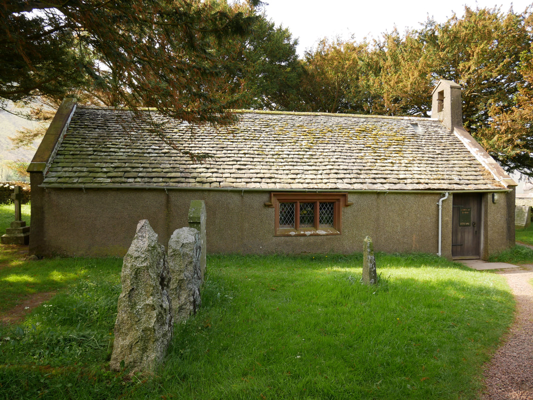
From the Car Park we headed out along the quiet and meandering road towards Wasdale Head. Starting early meant that the much-used single-track road was not that busy, therefore we were able to make good progress and were soon off road and on the path towards St Olaf's Church. The Church is one of England's smallest and earliest records date from 1550 although it is said that the beams used to build the Church were from a Viking Longship - it is well worth a visit. As we passed through the farm buildings at Burnthwaite, the overcast conditions were starting to improve and the gloom slowly lifted to move towards Sty Head. From Burnthwaite we carried on the path to Sty Head along Moses Trod. This path is a well-known route from Honister towards the coast at Ravenglass and was used to transport slate by packhorse from Honister quarry over the fells to export from the port. It is said that returning packhorses would be used for smuggling and one quarryman who used this route was Moses Rigg, after whom the route is named and who is said to have exported illicit whisky distilled at the Dubs.
After crossing a footbridge the path divides at a large cairn with the right hand fork heading off towards Sty Head. Today we took the left hand fork and straight away the steepness kicked in. The ascent follows the Gavel Neese path to pass below Moses Finger, firstly on a grassy section before steepening further when it becomes loose stone scree, shortly easing as height is gained. Whilst the scree moved beneath our feet, the transit up the path was not overly difficult. Nearing Beck Head, the scree eventually gave way to become a pitched path that levelled out to reach the col between Kirk Fell & Great Gable. Here there are excellent views down into Ennerdale and over to the High Stile Ridge and beyond and it is worth pausing here for a while to take in your surroundings and enjoy the vistas on offer.
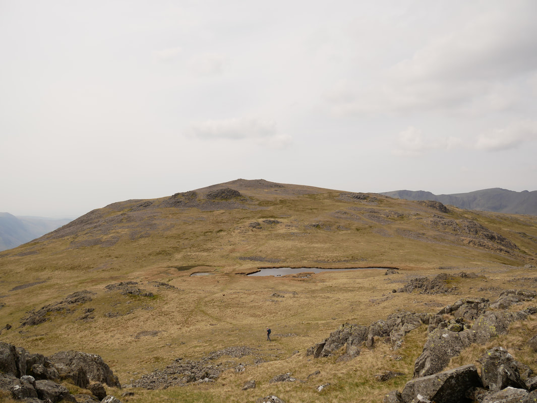
From Beck Head we started our ascent of Kirk Fell - a short climb over rocky sections that soon delivered us to the East Top of the fell. After crossing the summit plateau via Kirk Fell Tarn, the western summit was reached, marked by a large Cairn shelter. We pressed on to make our way along the fence line to arrive at the top of the steep descent down to the Black Sail Pass. Much is made of this descent off Kirk Fell - yes it is steep but in dry conditions it can be negotiated quite easily if taken steadily and carefully. At the pass Angie & Fudge returned to Wasdale via the Mosedale valley and I continued on, firstly up to Looking Stead and then to my rendezvous with the High Level Traverse, which starts at a cairn as the path rises to Pillar.
The path meandered its way across the eastern slopes of the mountain and whilst it is readily visible for the most part, it does fade on a couple of occasions - I had in my sights Proud Knott and I walked on, enjoying the solitude and gentle undulations of this fantastic transit. West of Proud Knott the path continued on to reach Robinson's Cairn - a fine viewpoint from which to look over Ennerdale to the High Stile ridge. From the cairn it is a short walk to the start of the Shamrock Traverse - a steep scree path that leads to a shelf from where Pillar Rock is reached. I took my time along the shelf - a couple of 'polished slabs" to negotiate but nothing too alarming. It was a great experience to be this close to Pillar Rock - I had only ever viewed it from below on the Ennerdale valley floor or from above from Pillar's summit - today I was right in its face. Leaving Pillar Rock, all that was left to negotiate was a lung busting 300 yards or so to reach Pillar's summit - nobody about therefore I had the plateau to myself.
From Pillar I headed south west down a rocky scramble to Wind Gap before climbing gently via Black Crag to reach the summit of Scoat Fell. Steeple is but an easy 10 minute walk away but I resisted the urge to wander over, instead turning south east to head over to Red Pike and on reaching the summit cairn, enjoyed the fantastic view back to Wind Gap & Pillar. Descending steeply to Dore Head the thought did cross my mind to scramble up Stirrup Crag & visit Yewbarrow but by now time was getting on and I was conscious that Angie & Fudge were waiting for me below at Overbeck Bridge. Nothing for it then but to enjoy a gentle descent along the base of Yewbarrow's western face to Dropping Crag from where the route descended steeply down to the Car Park at Overbeck.
Another superb day in the Lakeland Fells and only one thing for it really - off to The Bridge Inn at Santon Bridge for beer & food.
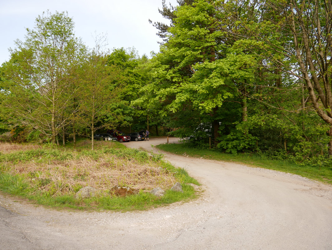
The Car Park at Overbeck Bridge
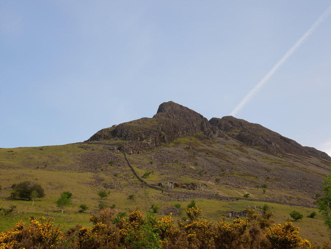
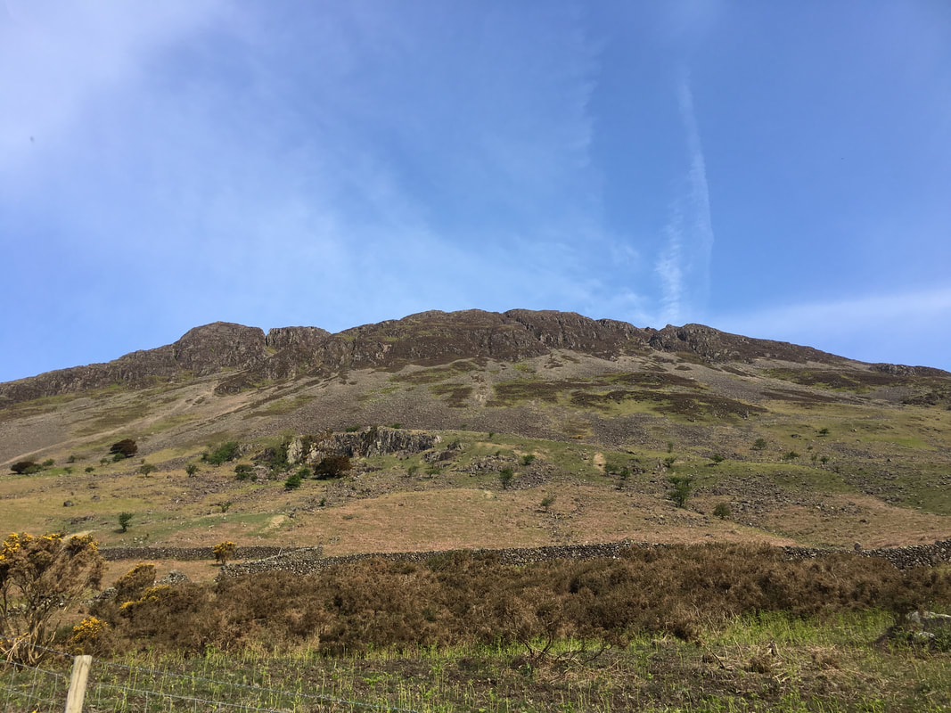
Bell Rib on Yewbarrow
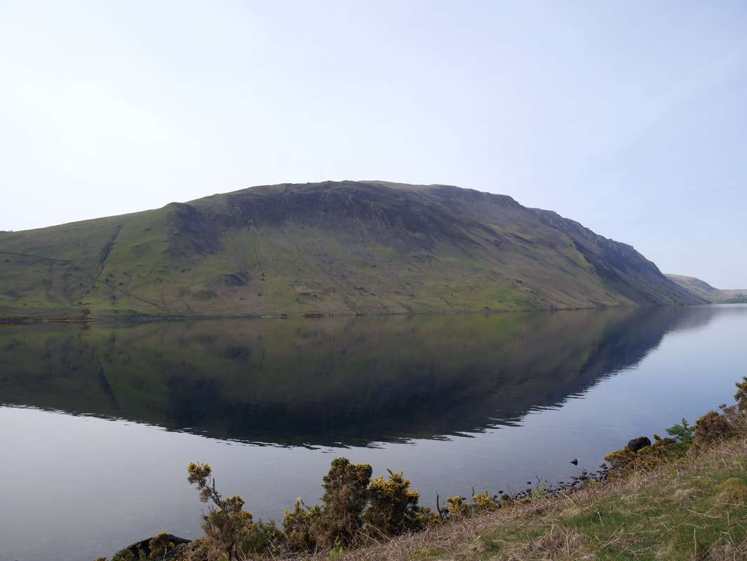
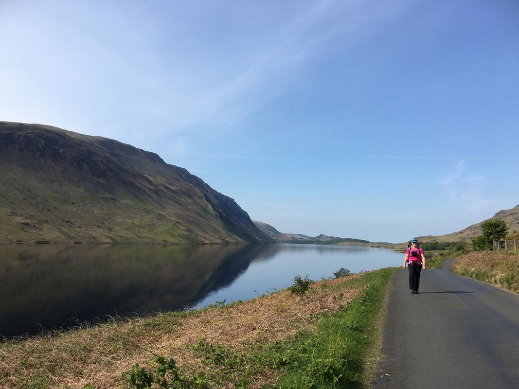
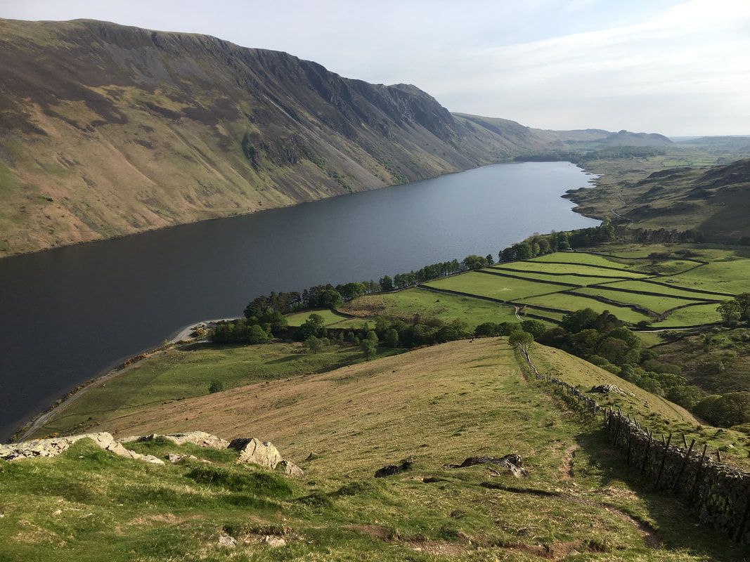
Illgill Head across an almost millpond like Wastwater
The eastern face of Yewbarrow
Great day to be out as Mrs W's grin clearly demonstrates!
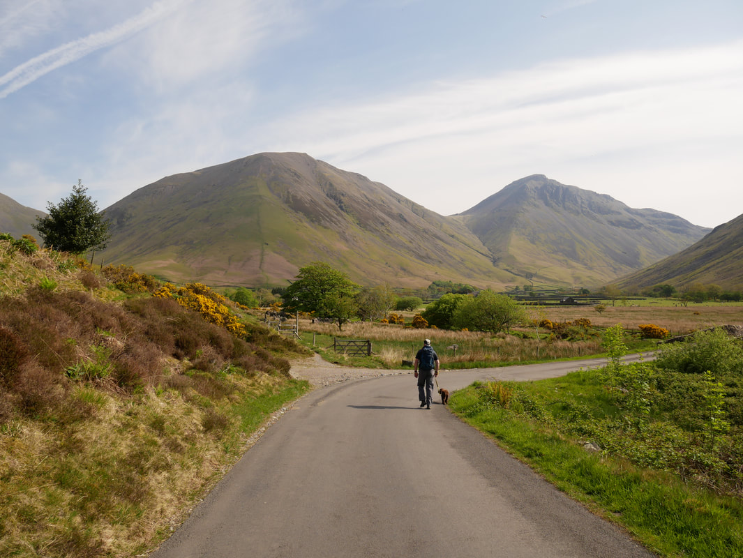
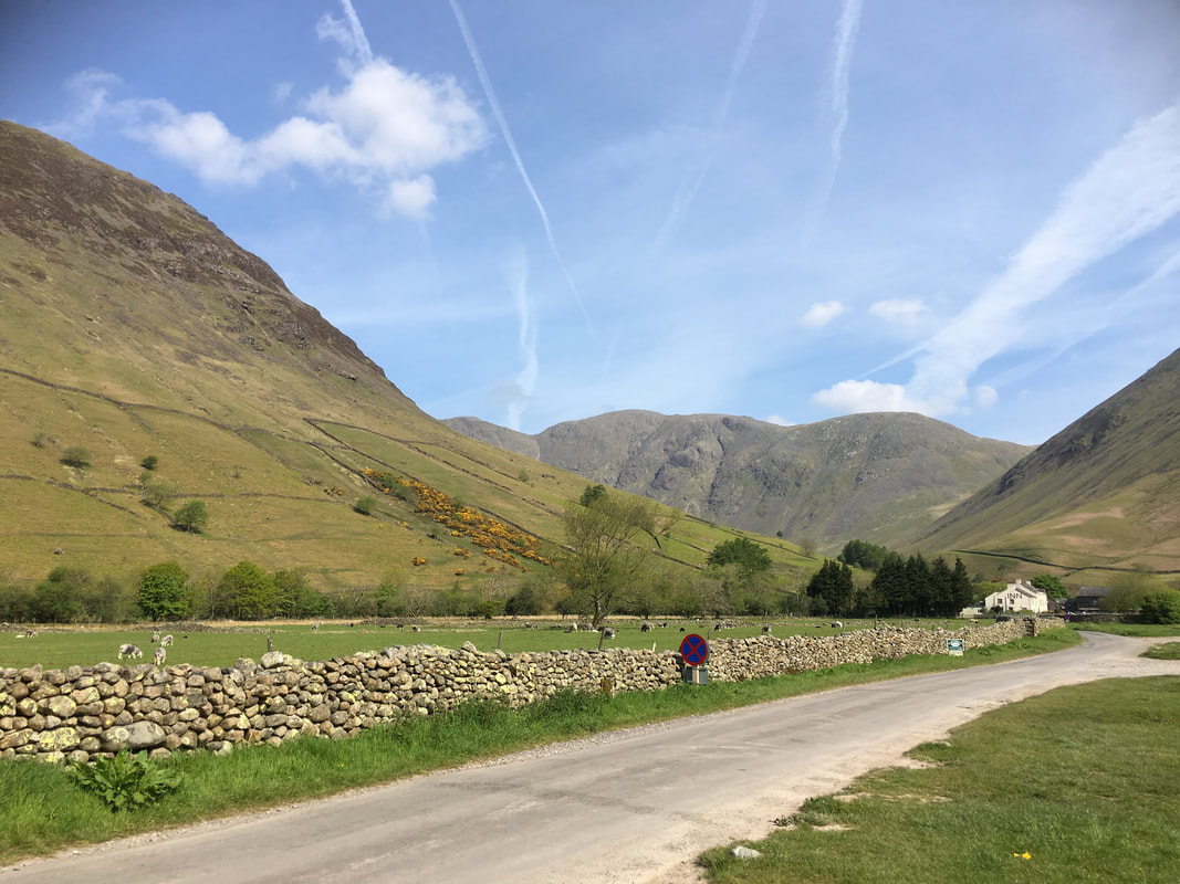
Approaching Wasdale Head with Kirk Fell to the left & Great Gable to the right
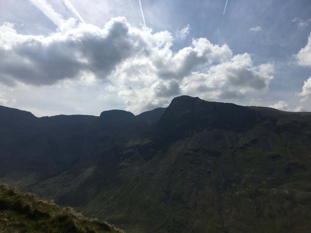
A close up of Great Gable - our route today can be seen sloping across Gavel Neese to Beck Head from right to left
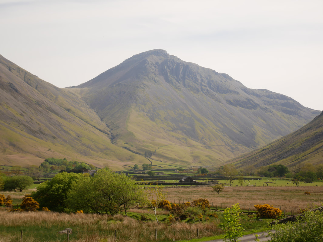
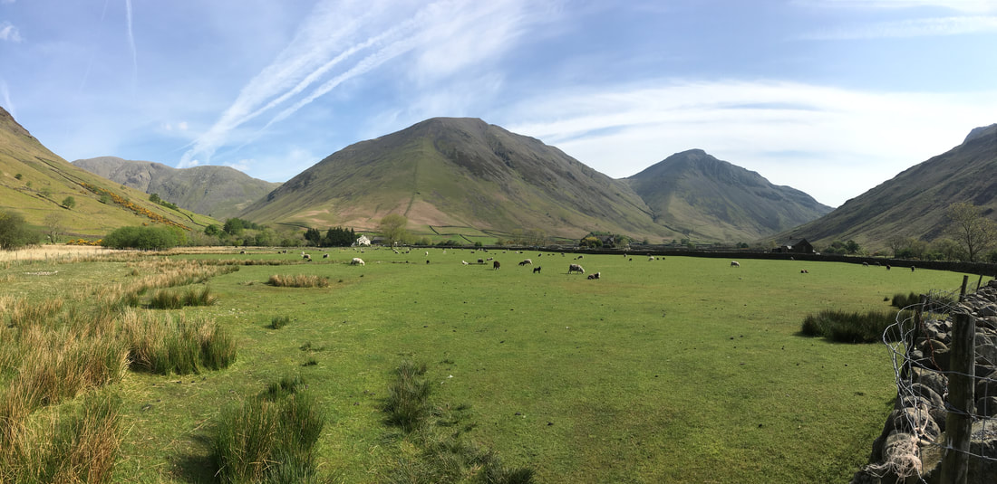
A Pillar, Kirk Fell & Great Gable panorama from Wasdale Head
The eastern slopes of Yewbarrow looking to Mosedale with Pillar central
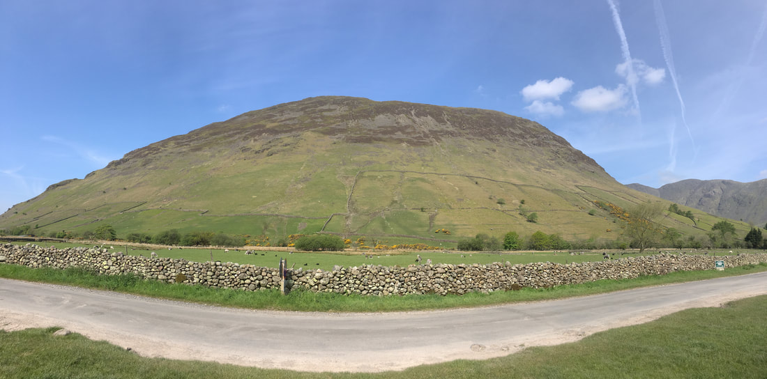
A panorama of Yewbarrow
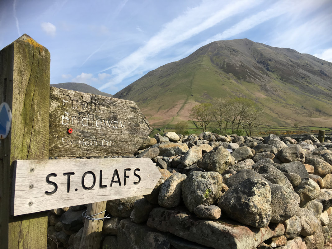
A walk in and around Wasdale Head would not be the same without visiting the idyllic church of St Olaf.......
.... and here it is
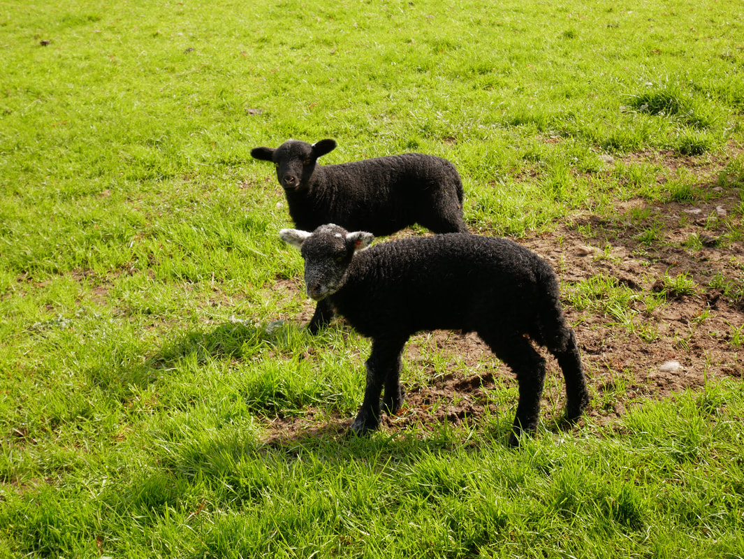
New members of the Wasdale Herdwick family
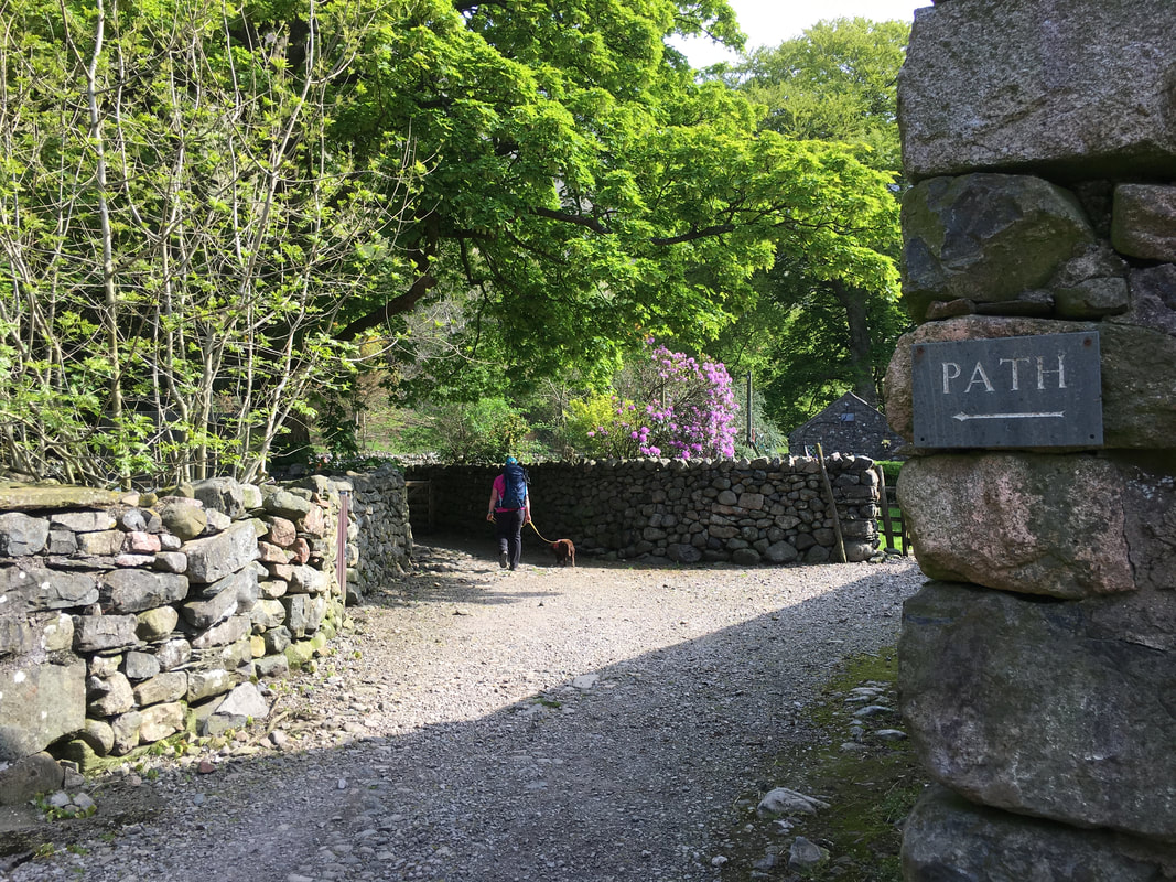
The route transits along the Sty Head path through Burnthwaite
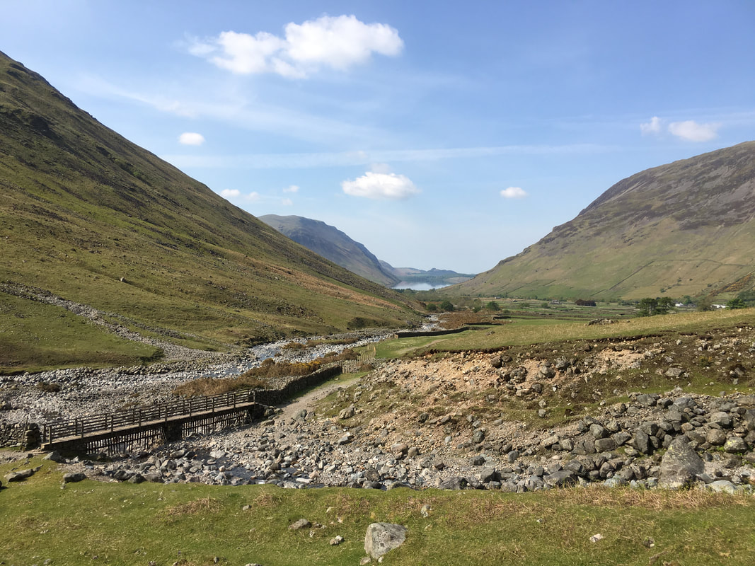
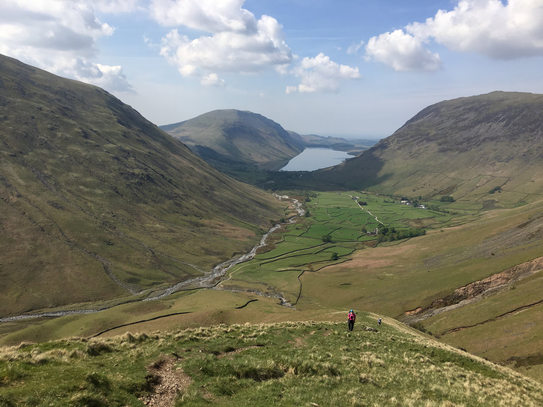
Looking back to Wasdale from the start of our ascent to Beck Head
We have been up this way to Great Gable & Kirk Fell a couple of times now - it has definitely got steeper!!!
Whilst the ascent is steep up Gavel Neese to Beck Head it grants ample opportunity to rest up & gaze back at views like this
The moody looking Scafells & Lingmell
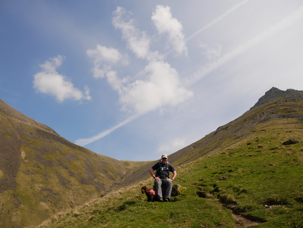
We were just waiting for you love - honest. Fudge & I just short of the point where the path turns to scree.
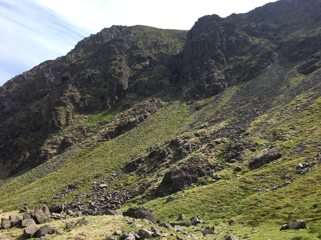
Looking up to Moses Finger
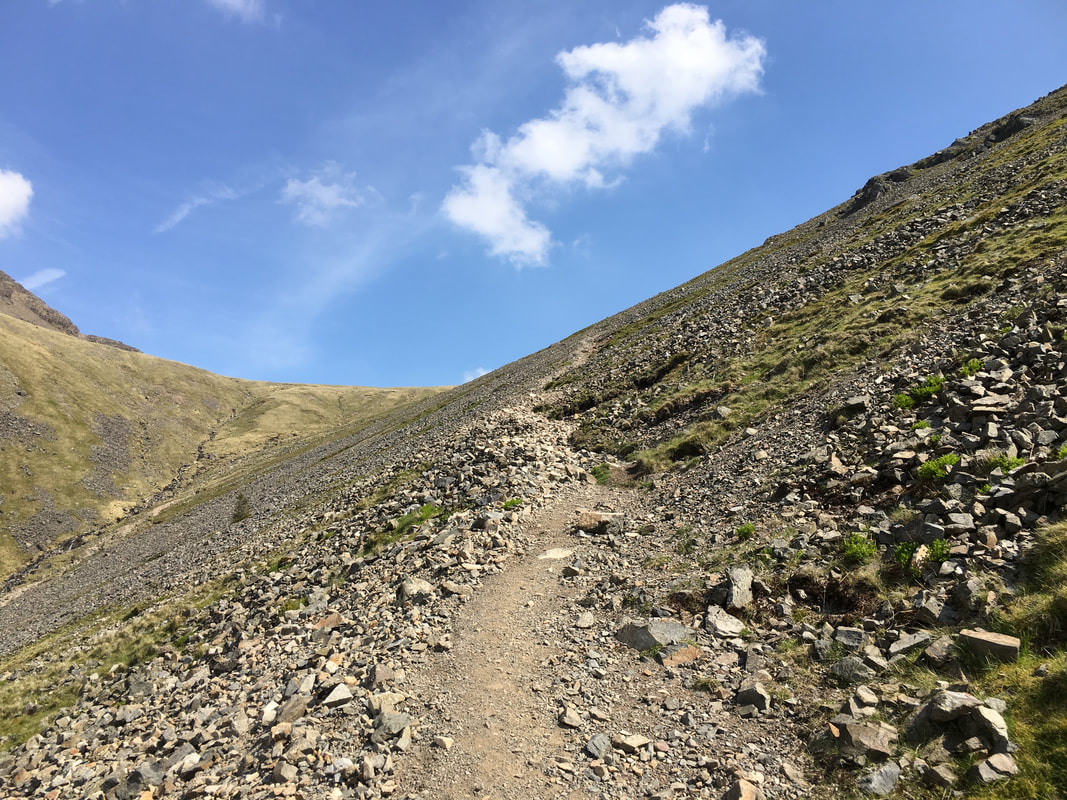
As always scree takes a little bit of care to negotiate - the loose stone lasts for about half a mile to just short of Beck Head
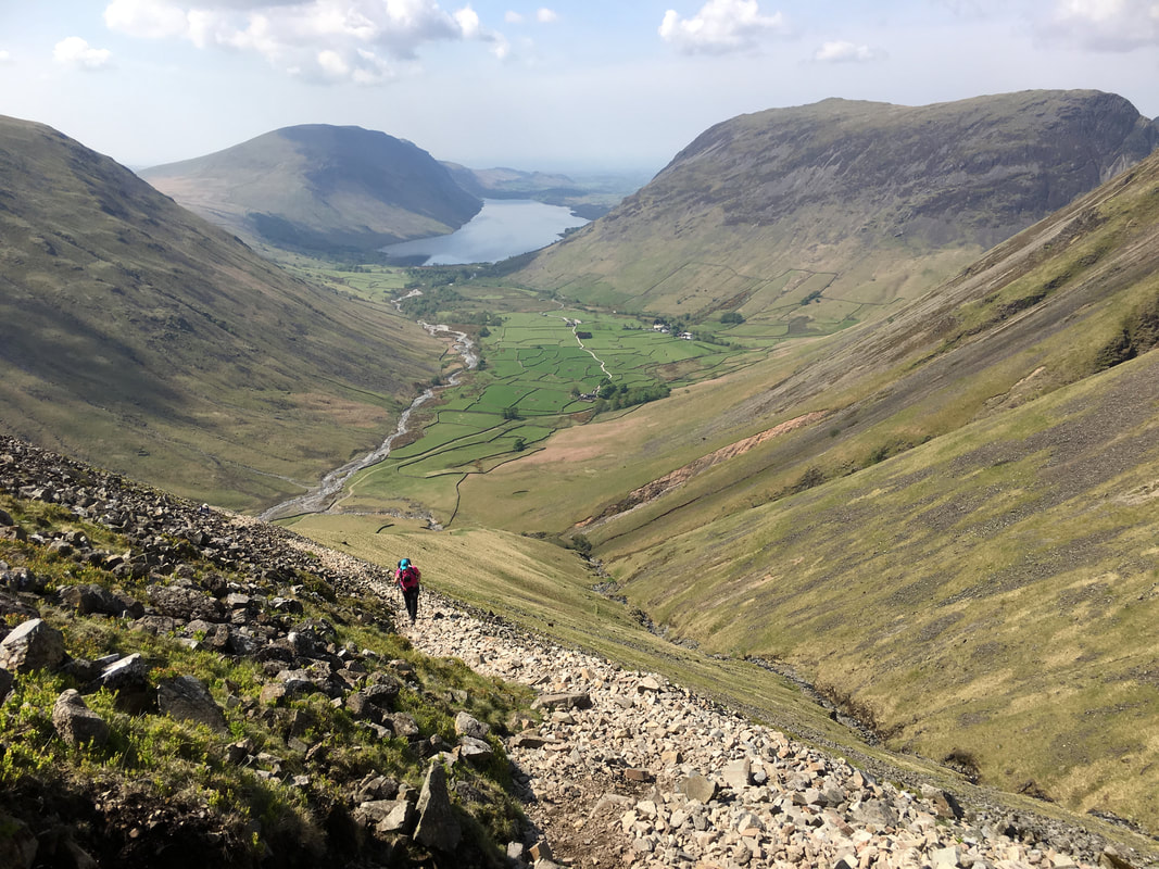
Another look back to Wasdale as Angie negotiates the scree path
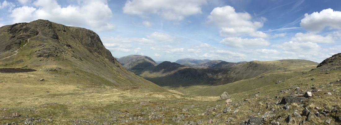
The reward for arriving at Beck Head is this wonderful panorama - Kirk Fell and our ascent is to the left
Ascending Kirk Fell from Beck Head looking to Great Gable
Glad you came Fudge?
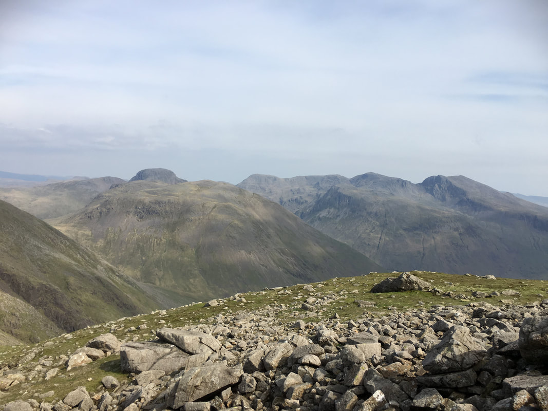
A panorama from the ascent of Kirk Fell - Brandreth is centre with the Gable brothers (Green & Great) to the right
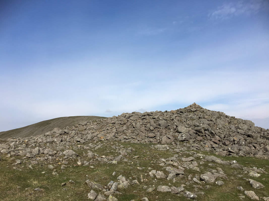
The summit of Kirk Fell East Top
The picture today just doesn't do this view justice - Great Gable & The Scafell Range
The transit from Kirk Fell East Top to the West Top summit
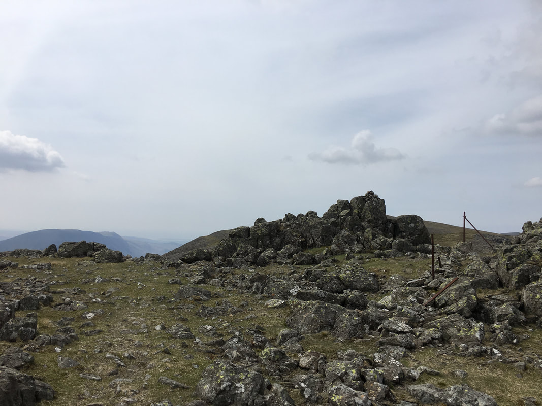
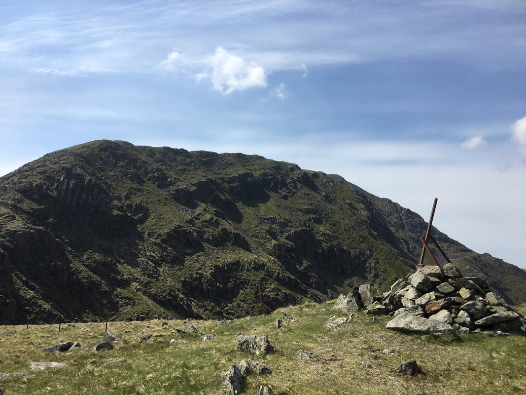
The summit of Kirk Fell
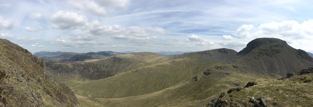
A panorama to Pillar
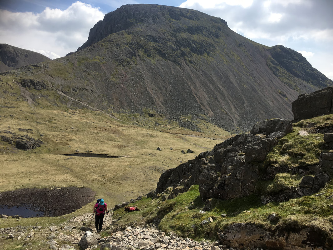
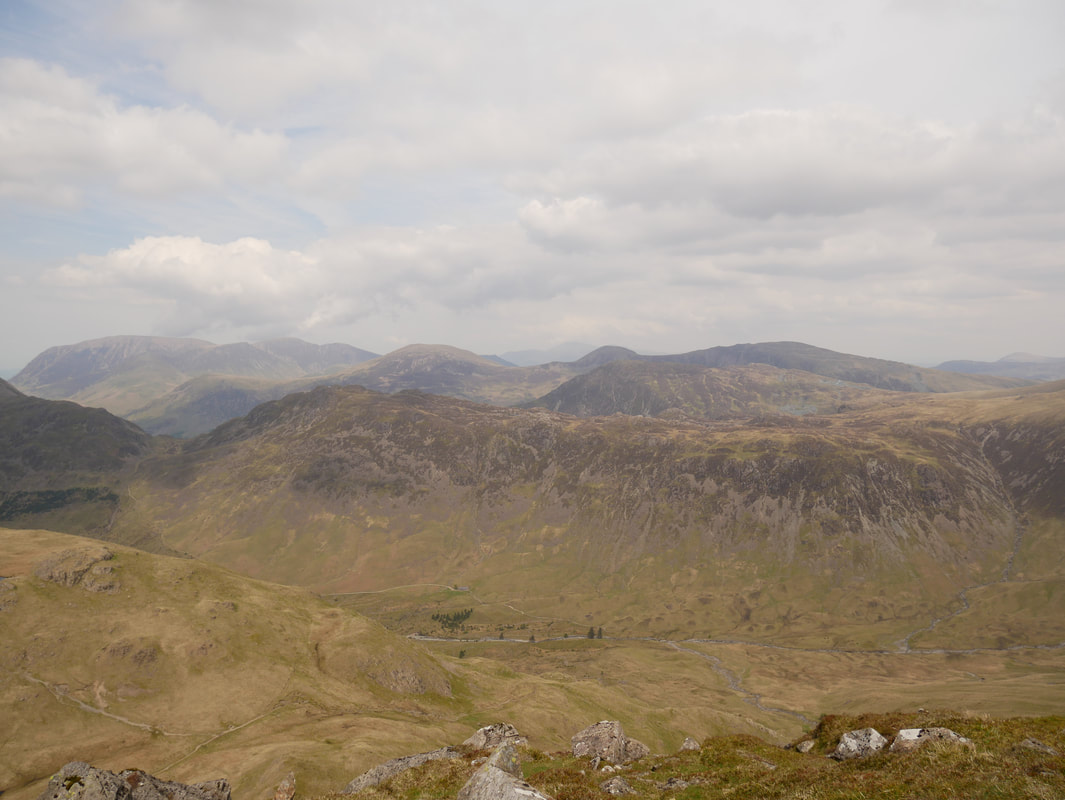
The view from near the descent of Kirk Fell down to the Black Sail Pass - L-R Black Crag, Pillar & Looking Stead
Red Pike with Seatallan rear left
At the top of the descent to the Black Sail Pass from Kirk Fell
Grasmoor is to the rear left with Haystacks & the Scarth Gap pass to the front
Grasmoor is to the rear left with Haystacks & the Scarth Gap pass to the front
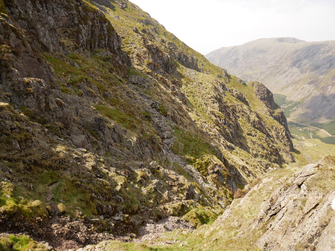
Angie negotiating the descent down to the Black Sail Pass. This section is extremely steep and just needs a bit of care taking as you descend. The route to Looking Stead can be seen - either of the two paths can be taken
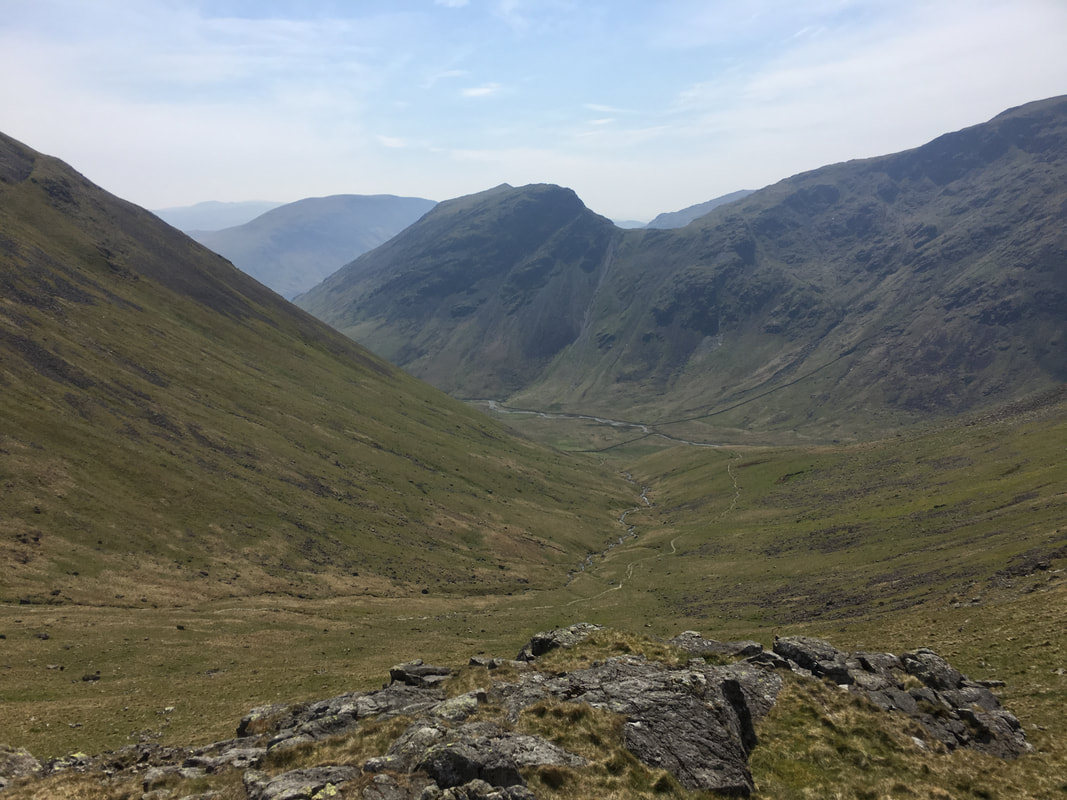
Looking into Mosedale with Yewbarrow centre.
Stirrup Crag is the slope leading down from Yewbarrow to Dore Head
Stirrup Crag is the slope leading down from Yewbarrow to Dore Head
Looking back from the ascent of Looking Stead to the descent from Kirk Fell - Great Gable peeps out from the left
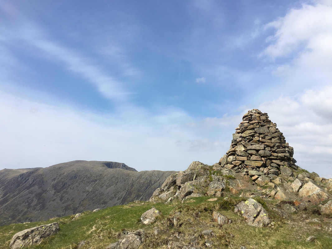
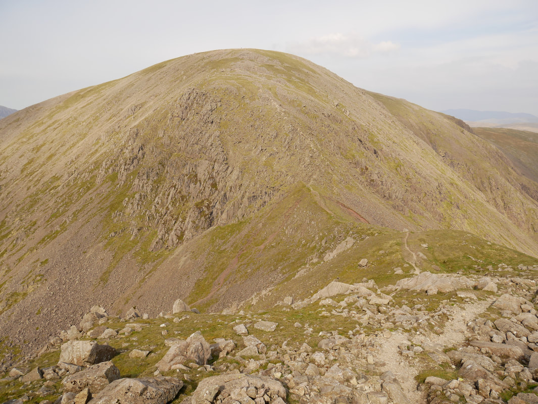
The summit of Looking Stead with Pillar as a perfect backdrop. Pillar Rock can be seen over the top of the ironmongery on the summit cairn.
This cairn marks the point where my transit of the High Level Traverse began.
The High Level Route was developed by rock climbers as an easy way to reach Pillar Rock from Wasdale Head.
The High Level Route was developed by rock climbers as an easy way to reach Pillar Rock from Wasdale Head.
The start of the High Level Traverse of Pillar - it does not look like it, but there is a path there!
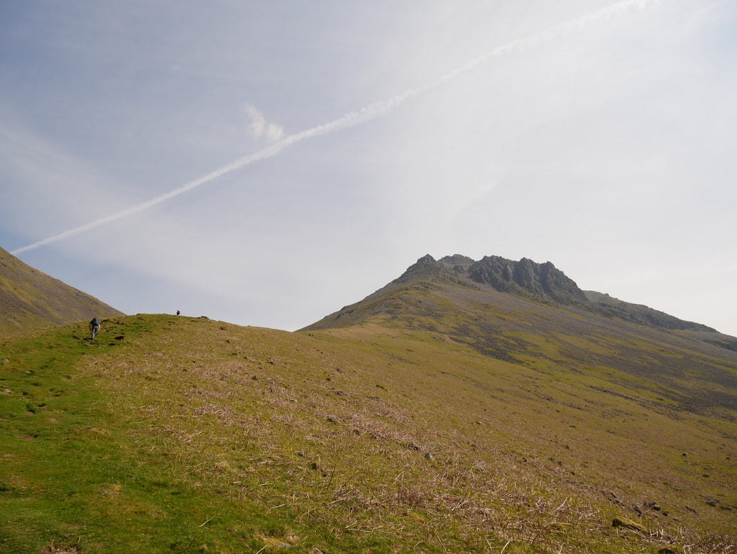
My next objective was Proud Knott which is to the right.
My next objective was Proud Knott which is to the right.
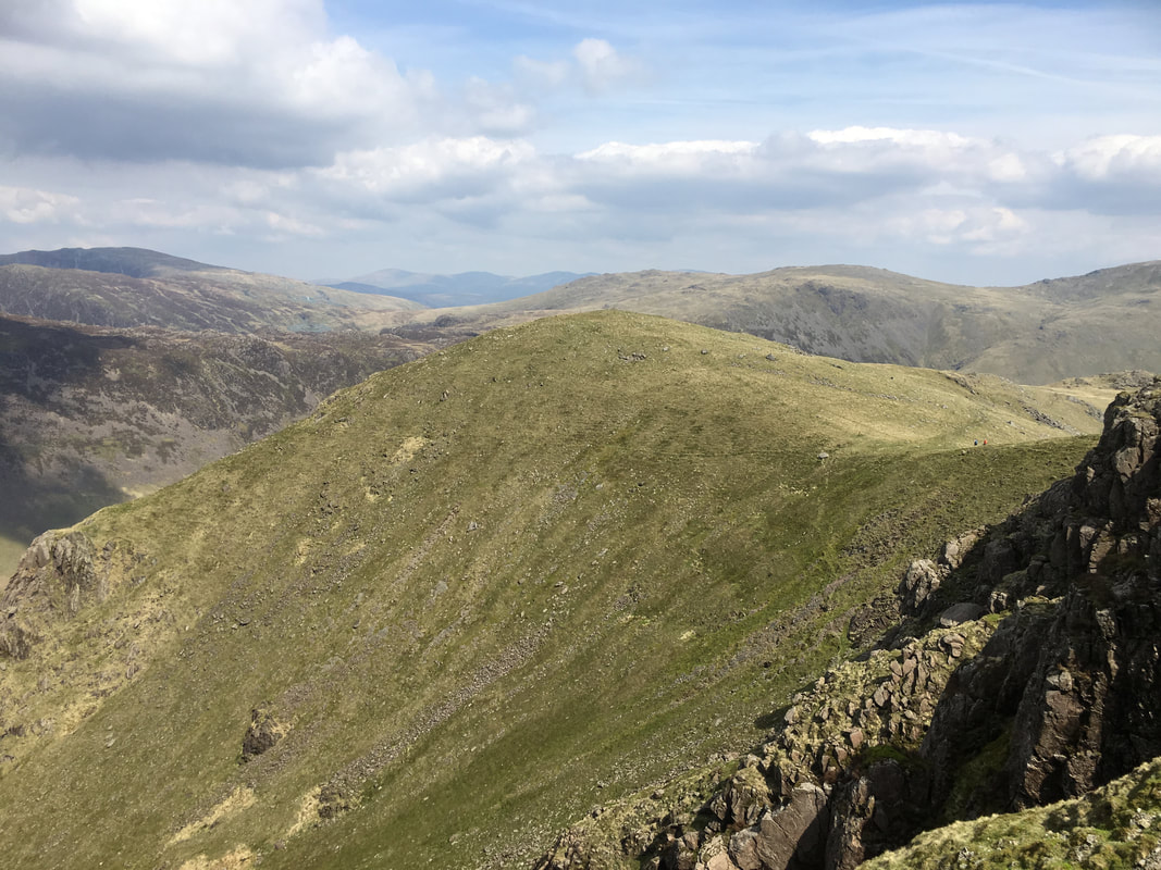
The High Stile Ridge - left to right are High Stile, High Crag, Gamlin End & Seat
Looking Stead - the fells in the far distance are Clough Head & The Dodds
The High Level Traverse gave me the opportunity to see Pillar from below - this view was as I made my way through Green Cove
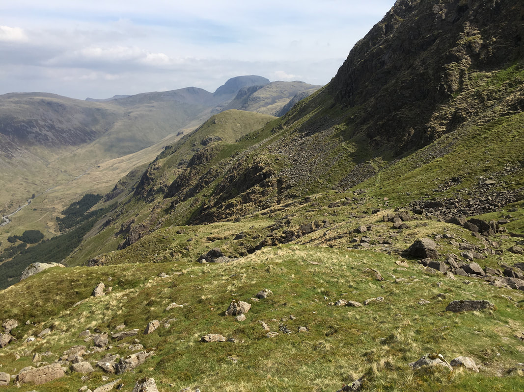
Looking back along my route of the High Level Traverse - the path was unclear for short sections but in good visibility was never in doubt
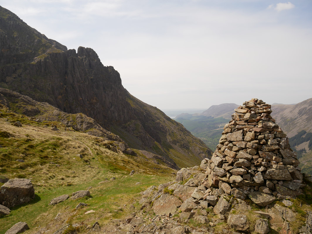
Robinson's Cairn - just a fantastic place to be with that view of High Stile.
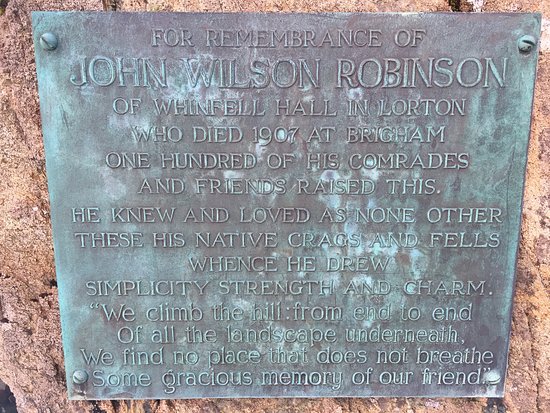
The cairn is a memorial to John Wilson Robinson, a pioneering rock climber and founder member of the Fell & Rock Climbing Club
The cairn is a memorial to John Wilson Robinson, a pioneering rock climber and founder member of the Fell & Rock Climbing Club
Robinson's Cairn & Pillar Rock
The Memorial Plaque on Robinson's Cairn
Just a bit further on from Robinson's Cairn at the start of the Shamrock Traverse.
The route from here headed left of shot and then cut back along a shelf across Shamrock Crag to reach Pillar Rock.
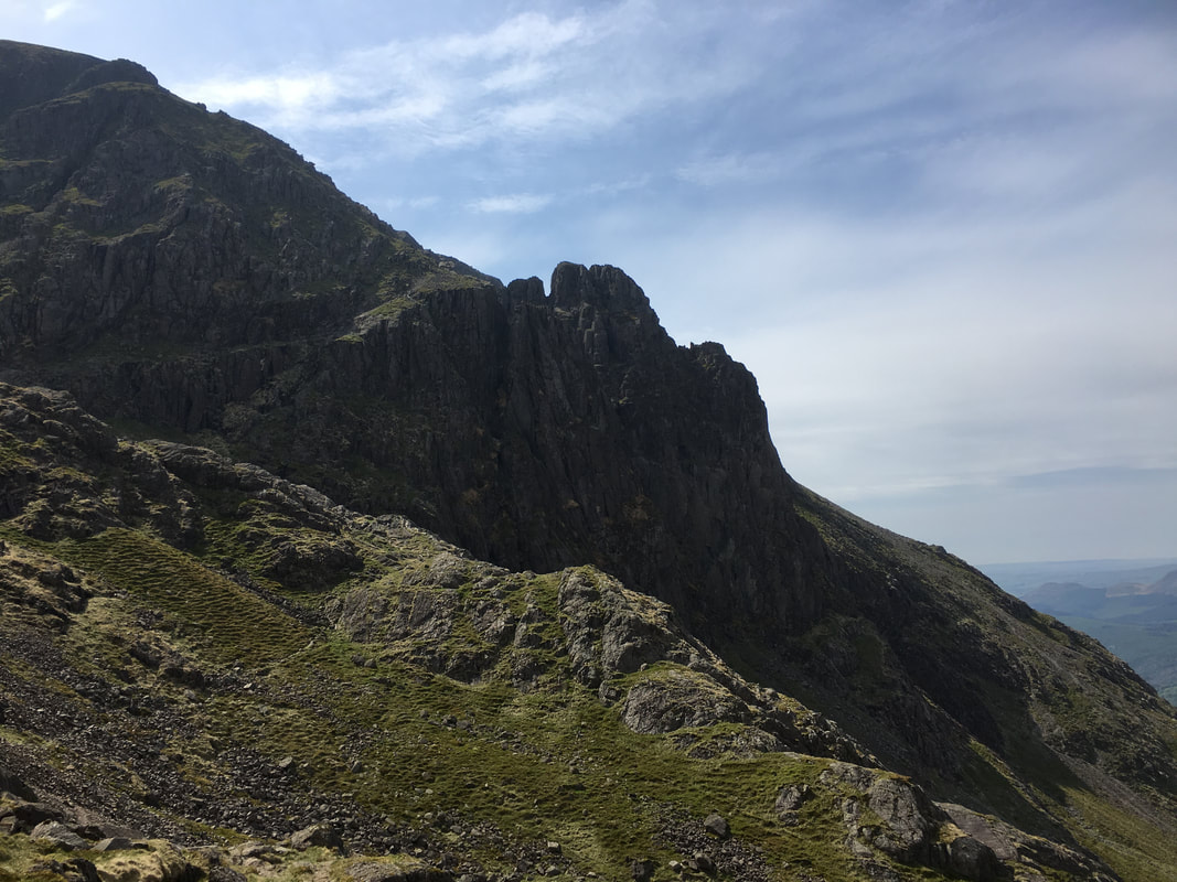
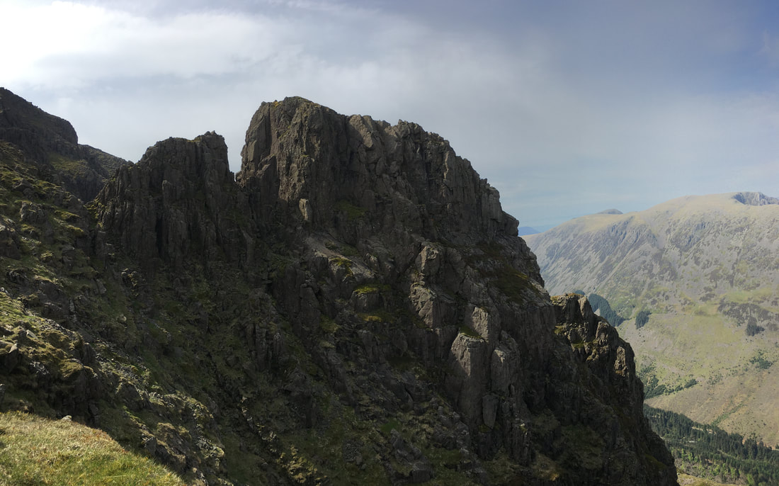
Looks can be deceiving - from here it looks very much like Shamrock Crag & Pillar Rock are part of each other. They are in fact separated by a deep chasm called Walker's Gully - so named after Mr Walker who tragically fell to his death while mistaking the gully as a safe descent route back to Ennerdale.
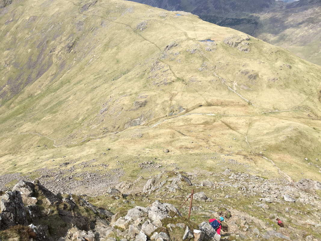
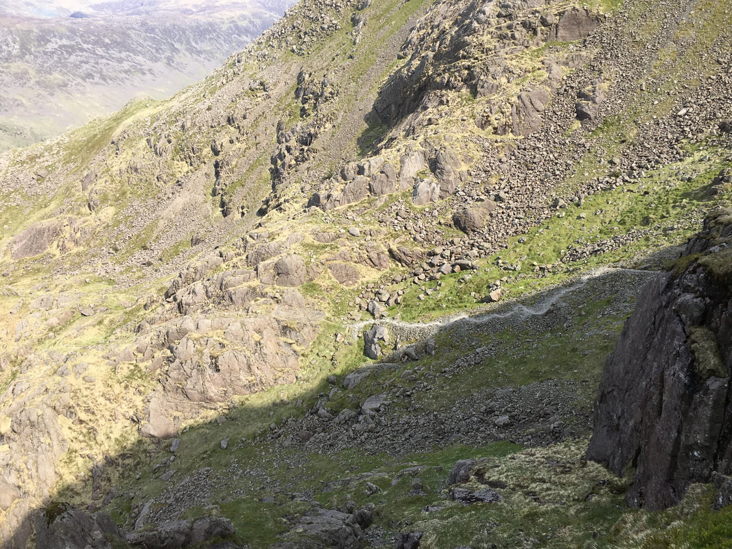
Looking back to my route from Robinson's Cairn which comes up along the scree path seen below.
I was now on the shelf not far from Pillar Rock
I was now on the shelf not far from Pillar Rock
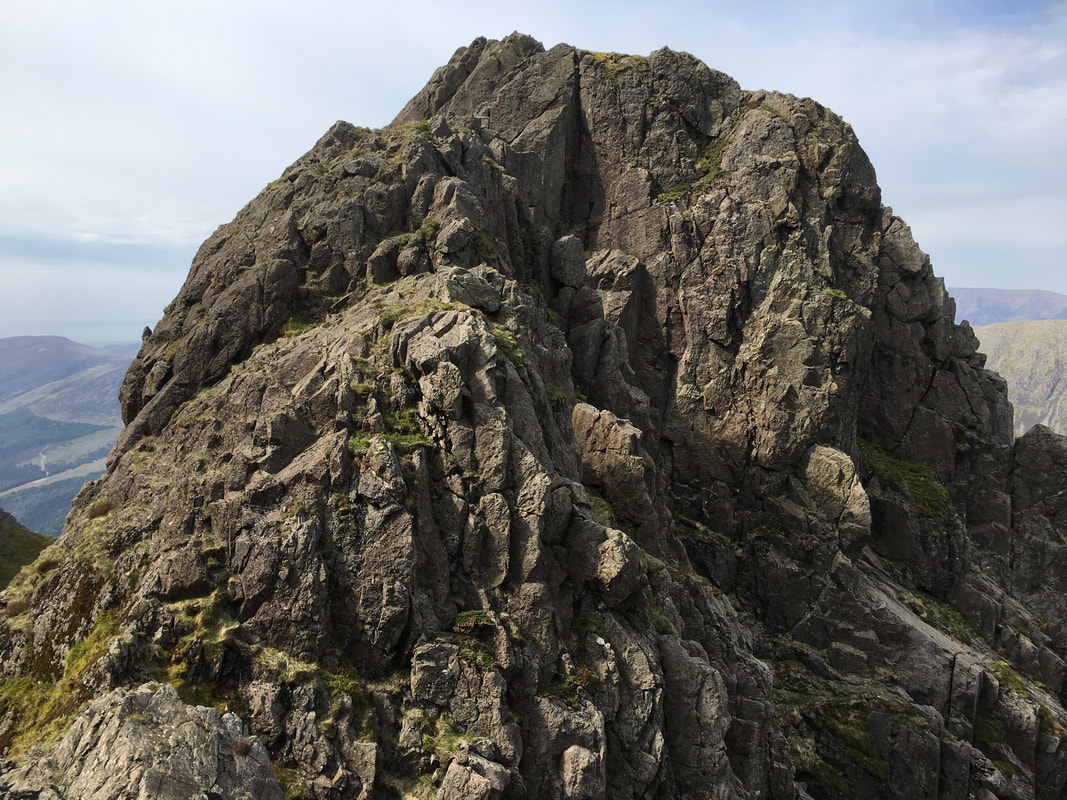
A closer view of Pillar Rock.
Pisgah is to the left and is separated from High Man by the Jordan Gap with the summit of Low Man to the right. The sloping slab in the centre of shot is the "slab" of the Slab and Notch, a famously difficult scrambling route to the top of High Man.
Pisgah is to the left and is separated from High Man by the Jordan Gap with the summit of Low Man to the right. The sloping slab in the centre of shot is the "slab" of the Slab and Notch, a famously difficult scrambling route to the top of High Man.
A close up view of Pillar Rock from the top of the Shamrock Traverse
Looks a doddle to climb from here doesn't it - it's not and is strictly for equipped climbers only
Looks a doddle to climb from here doesn't it - it's not and is strictly for equipped climbers only
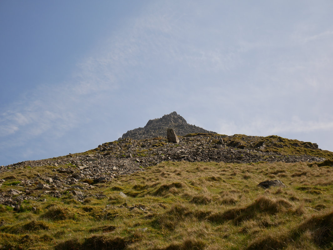
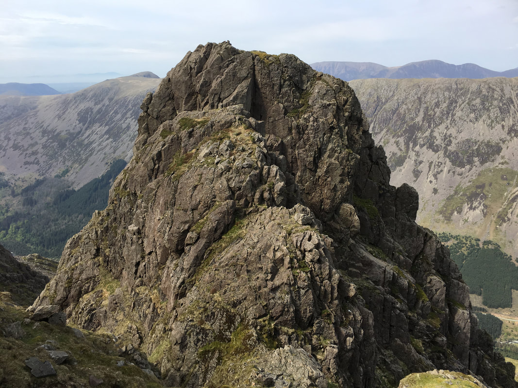
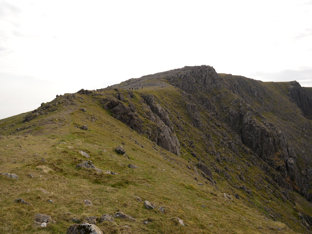
A view of Pillar Rock from a little further up as I ascend the last 300 yards to the summit of Pillar.
Pisgah is to the front with High Man behind. The sloping slab of the "Slab & Notch" can be seen a bit clearer on the right.
It is almost 200 years since Pillar Rock was first climbed by Ennerdale man John Atkinson in 1826. Prior to that it had been deemed inaccessible. In the early 19th century it became widely known as one of the wonders of the Lake District, chiefly due to it featuring in William Wordsworth's poem "The Brothers"
You see yon precipice, it almost looks
Like some vast building made of many crags
And in the midst is one particular rock
That rises like a column from the vale
Whence by our Shepherds it is call'd, the Pillar
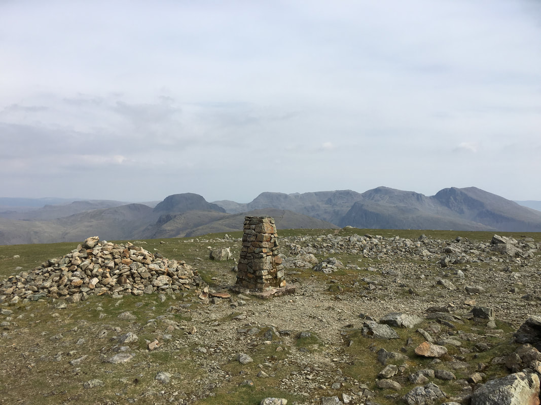
After climbing the final 300 yards, all of a sudden I popped out on the summit of Pillar and from there it is a short walk to the Trig Point.
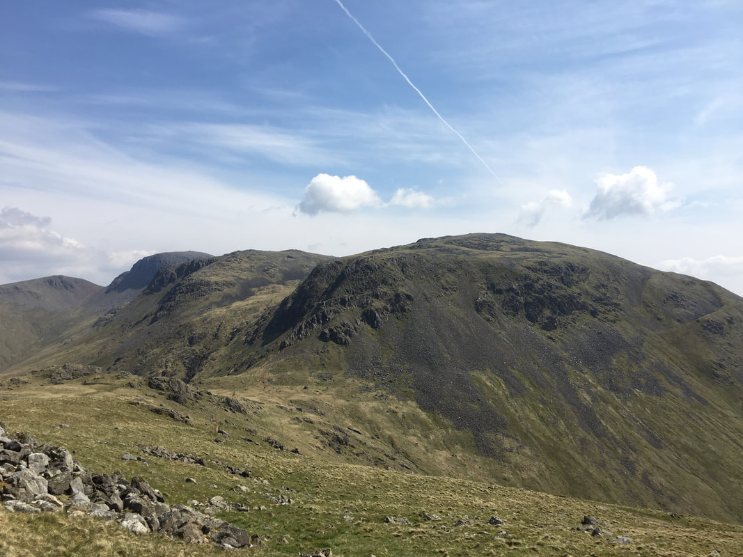
From the summit is a cracking view of Great Gable & The Scafell range.
From the summit is a cracking view of Great Gable & The Scafell range.
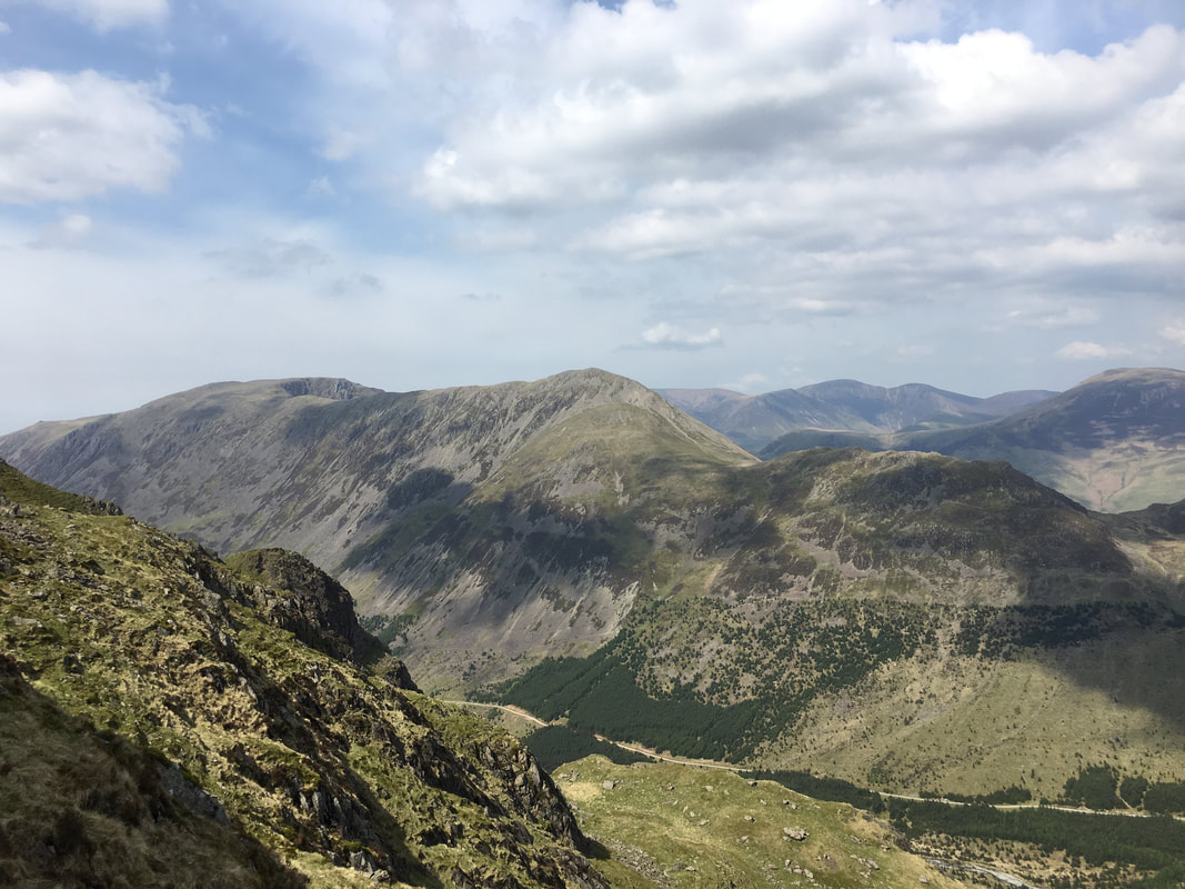
Another superb view of Great Gable, Kirk Fell & The Scafells - this time from the ascent to Black Crag
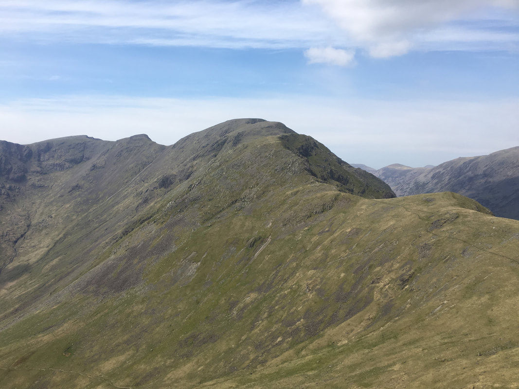
Looking back to my descent to Wind Gap from Pillar
The summit of Black Crag
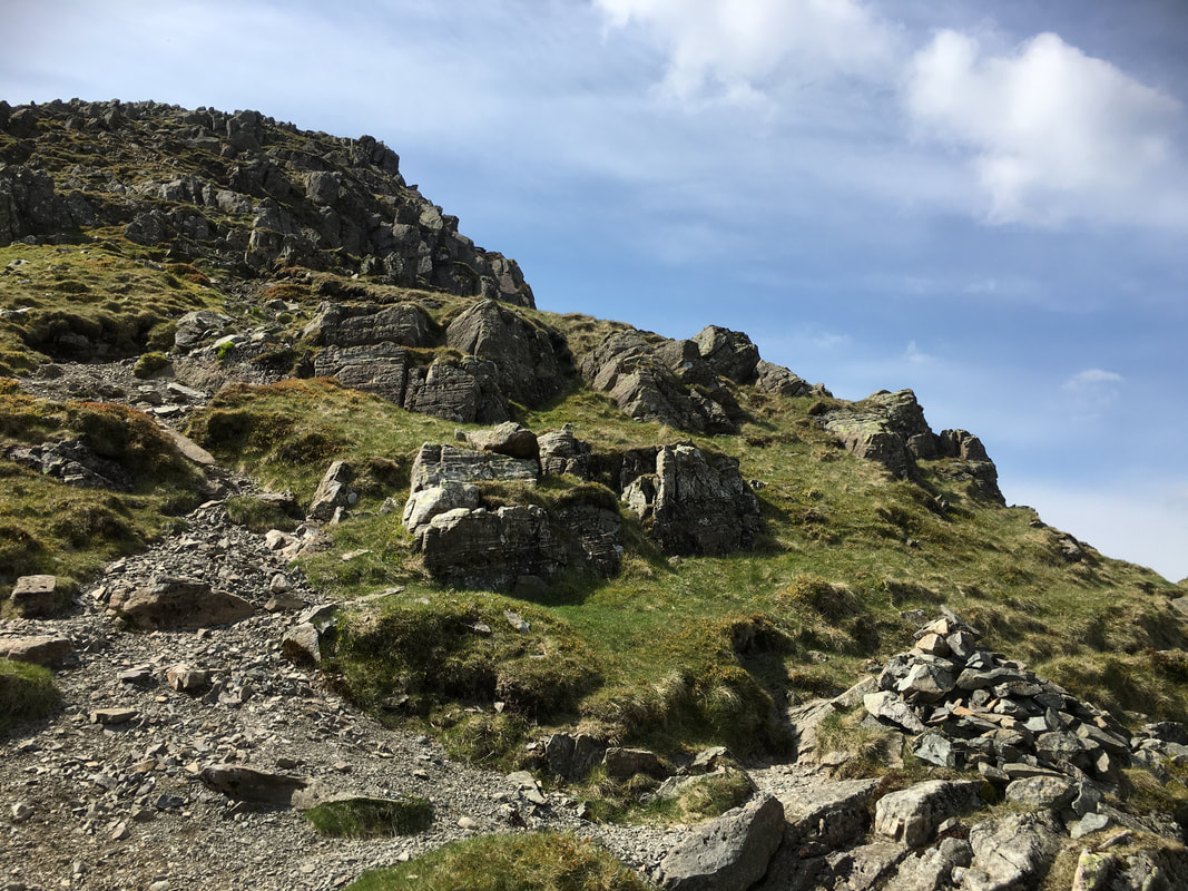
The short pull up to Scoat Fell from Black Crag
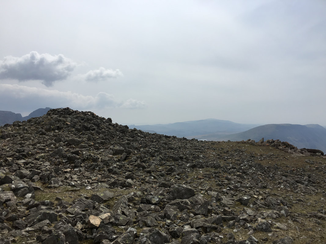
The summit of Scoat Fell
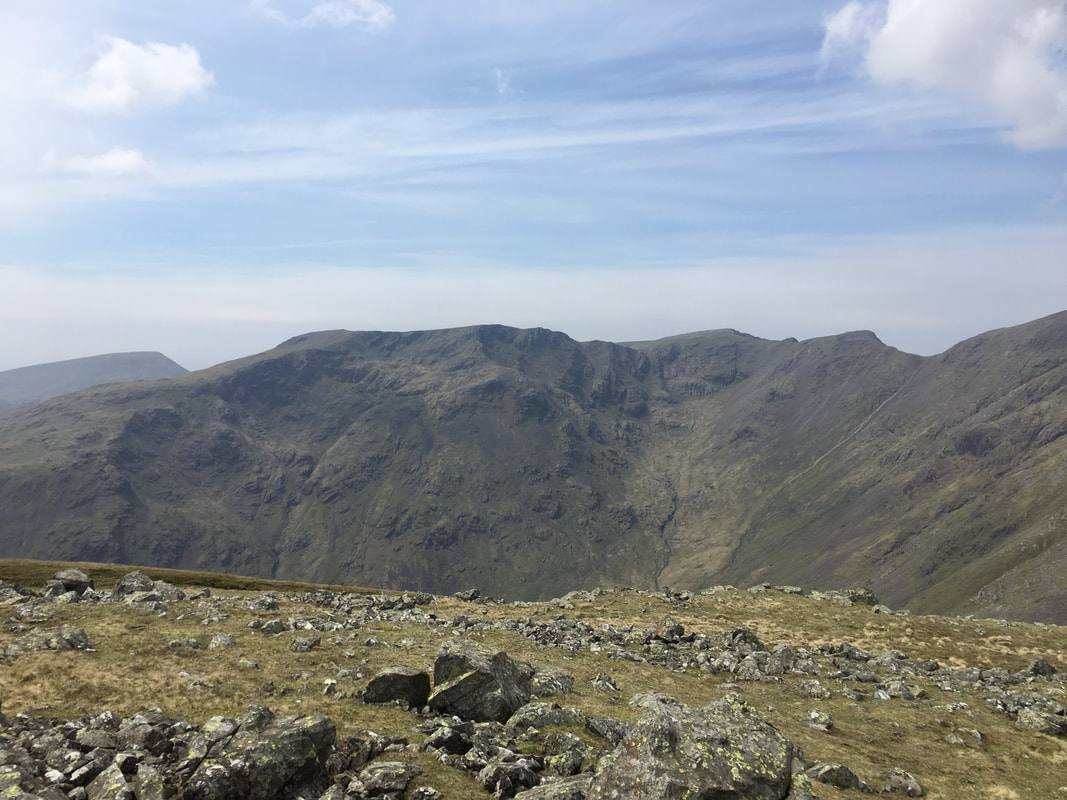
Steeple across Mirk Cove
Looking across to Black Crag, Wind Gap & Pillar from the summit of Red Pike
Dore Head, Stirrup Crag & Yewbarrow from the descent of Red Pike
Descending back to Overbeck Bridge after a stunning day out - time for a beer I think
