Keld, Gunnerside, Grinton & Reeth - Friday 23 July 2021
Route
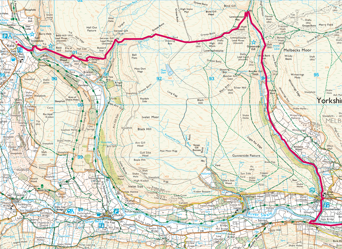
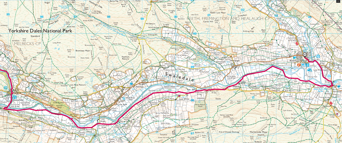
Keld - East Gill - Crackpot Hall - Swinner Gill - Lownathwaite Mine - Swina Bank Scar - Gunnerside Beck - Birkbeck Wood - Gunnerside - Gunnerside New Bridge - Dubbing Garth - Low Houses - Low Lane - Scabba Wath Bridge - Stubbin Farm - Reeth Suspension Bridge - Grinton - Grinton Bridge - Low Fremington - Reeth
Parking
The Green, Reeth (£2 all day) - postcode is DL11 6SZ. We caught the bus from Reeth to Keld and walked back - the bus timetable can be found here
Mileage
14.8 miles
Terrain
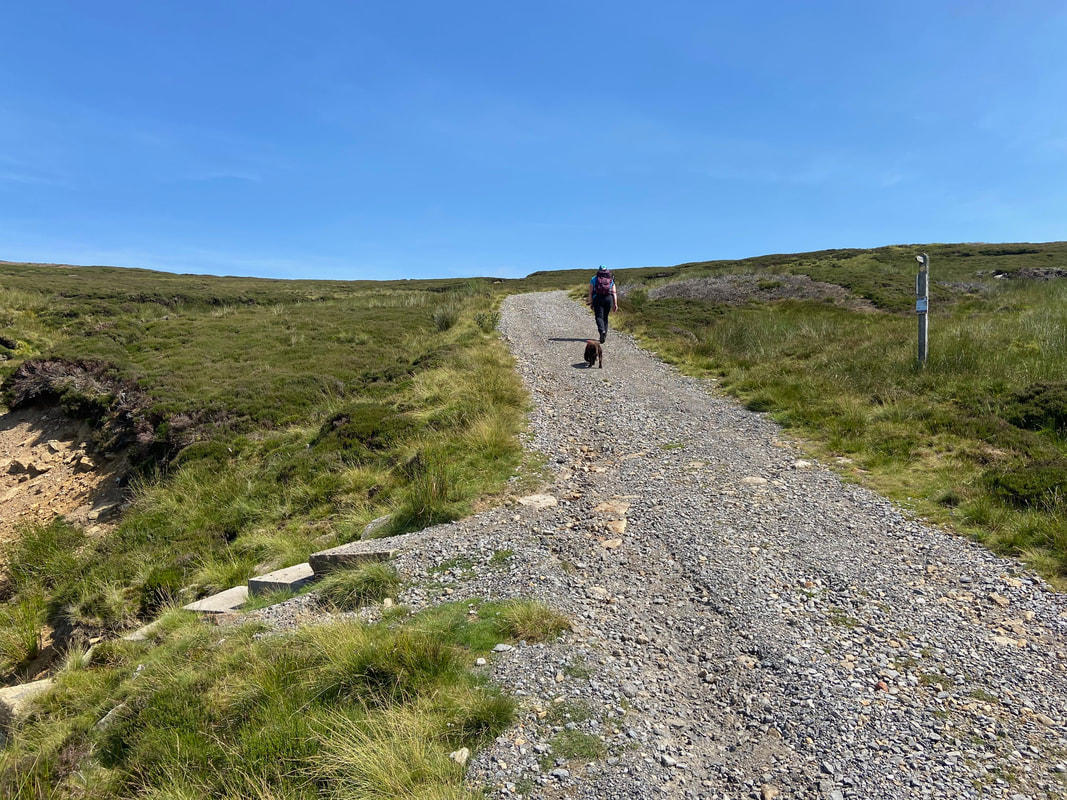
Stony paths and farm tracks over moorland. The descent into Lownathwaite is steep and the terrain is over loose stone for the most part therefore care needs to be taken. From Gunnerside to Reeth there is some road walking along very quiet lanes.
Weather
Glorious - sunshine and light breezes.
Time Taken
8hrs
Total Ascent
1696ft (517m)
Map
OL30 - Yorkshire Dales (Northern & Central Areas)
Walkers
Dave, Angie & Fudge
|
GPX File
|
| ||
If the above GPX file fails to download or presents itself as an XML file once downloaded then please feel free to contact me and I will send you the GPX file via e-mail.
Route Map
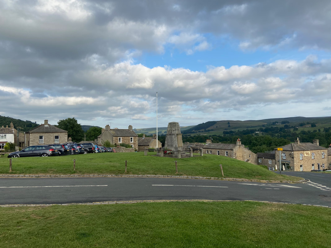
The War Memorial & Village Green in Reeth. Parking is available around (and on) the Village Green for £2 a day.
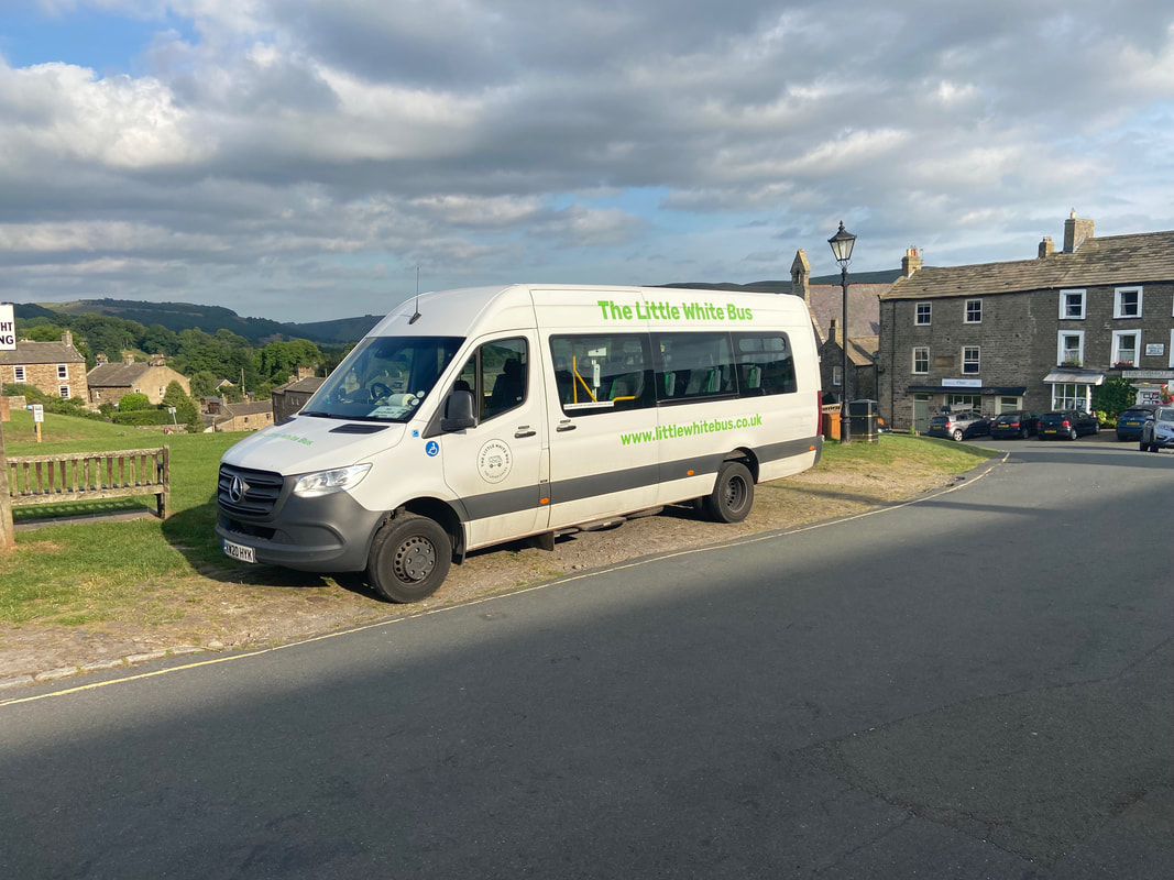
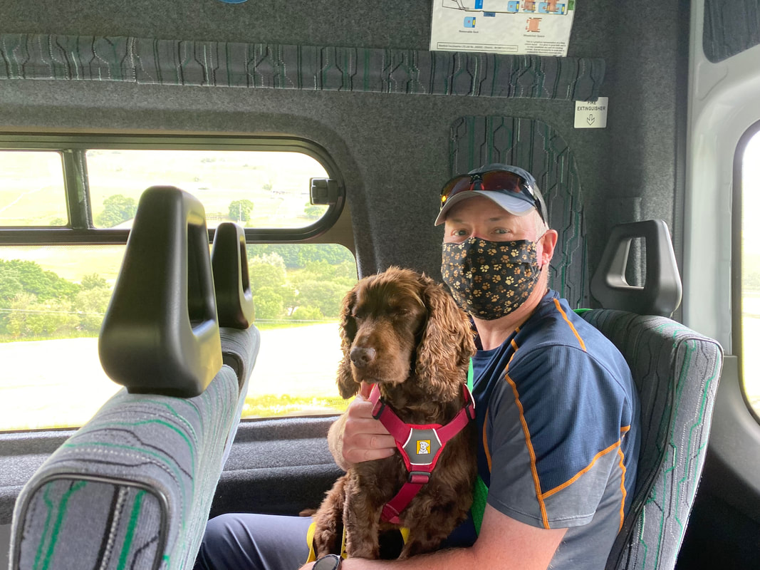
Our mode of transport to Keld from where we would walk back to Reeth
Fudge looks distinctly unimpressed with my doggy themed mask
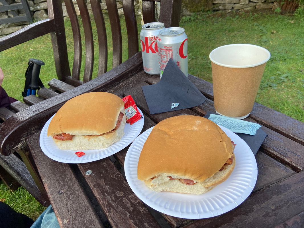
A walk from Keld would not be the same without one of Park Lodge's Bacon Rolls to start the day
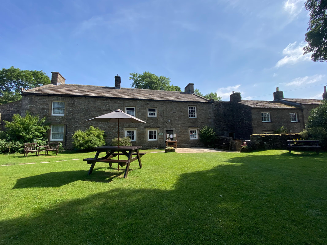
The Tearoom & Garden at Park Lodge
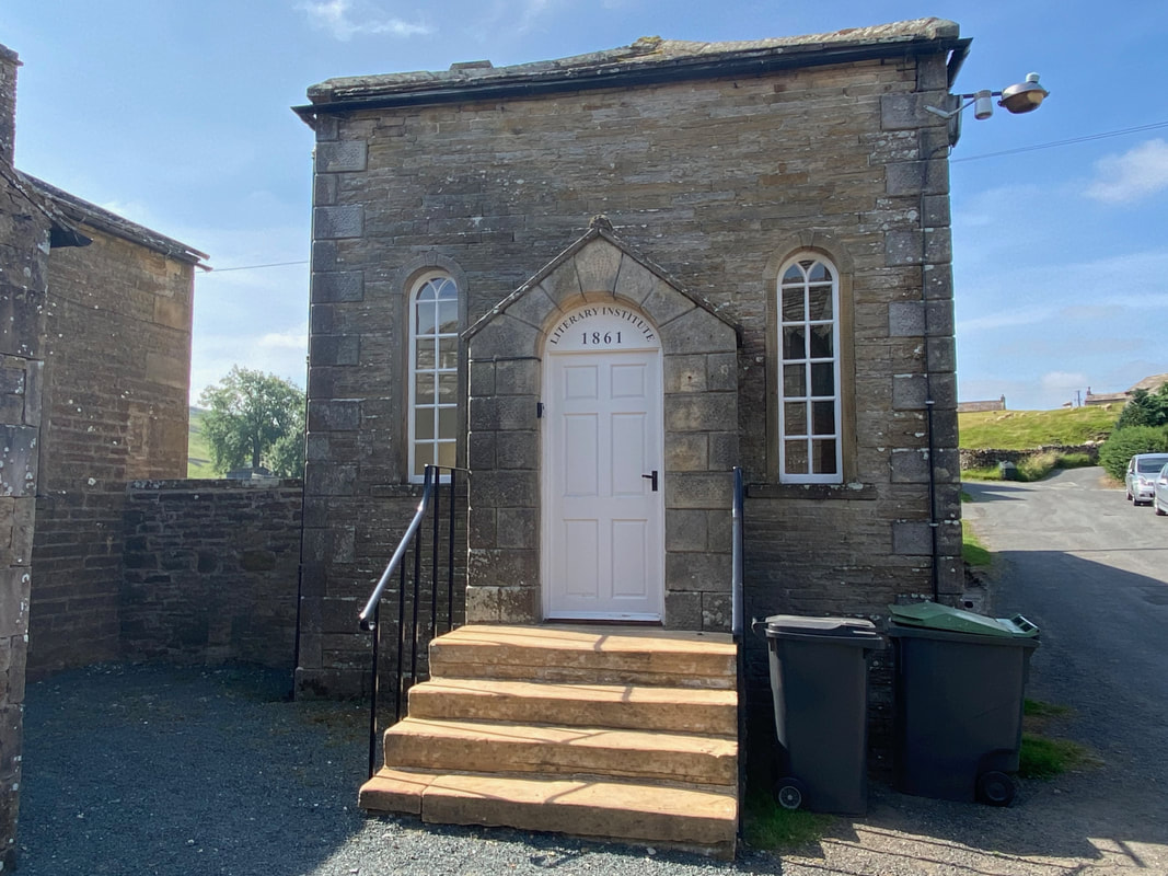
Keld Literary Institute
The Institute was the vision of the Reverend James Wilkinson, Vicar of the parish between 1838 - 1866 and provided a reading room and self-improvement educational facilities for the miners of Keld. The Institute finally closed in 1970 but has been resurrected by a local community charity in partnership with the church. The Keld Resource Centre aims to preserve and explain the unique heritage and environment of Upper Swaledale for the benefit of the local community, visitors and the rural economy.
The Institute was the vision of the Reverend James Wilkinson, Vicar of the parish between 1838 - 1866 and provided a reading room and self-improvement educational facilities for the miners of Keld. The Institute finally closed in 1970 but has been resurrected by a local community charity in partnership with the church. The Keld Resource Centre aims to preserve and explain the unique heritage and environment of Upper Swaledale for the benefit of the local community, visitors and the rural economy.
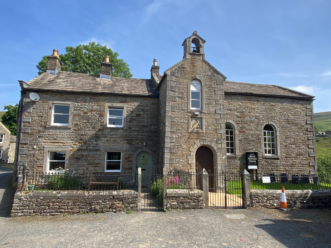
The United Reformed Church in Keld complete with a state of the art method of displaying the time. Wainwright said of Keld "a sundial records the hours but time is measured in centuries.”. The building to the left of the church entrance is the former Minister's Residence, Keld Manse and is now a holiday cottage.
The village of Keld is a junction for quite a few long distance walks including the Coast to Coast, Pennine Way, Pennine Journey & Heriot Way.
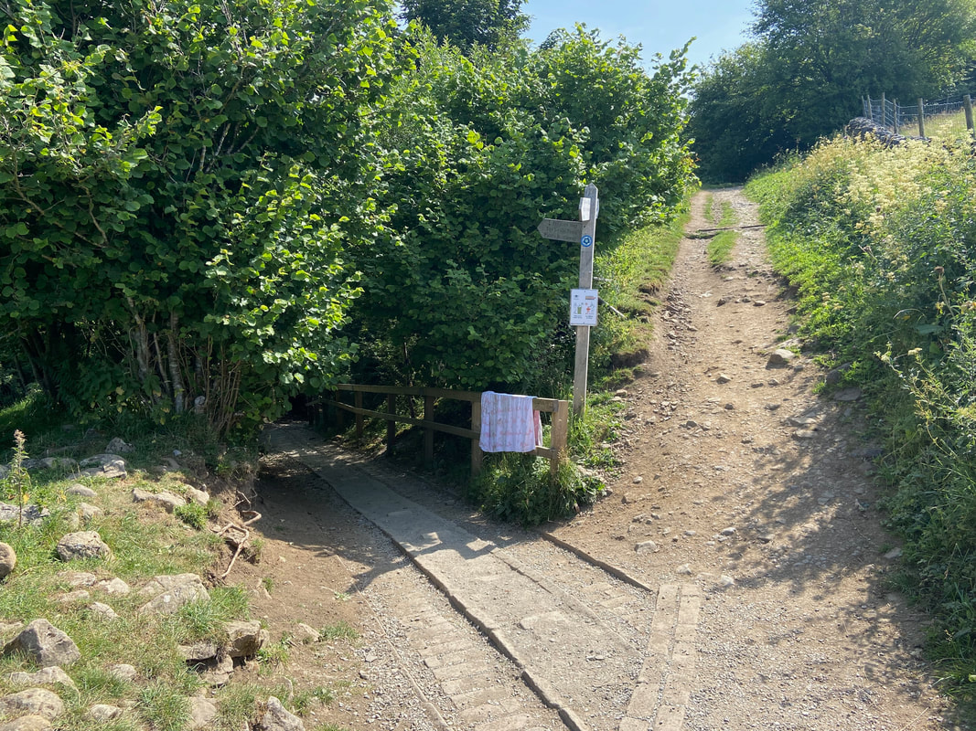
The Pennine Way junction near the River Swale. The path to the right passes across the lower flank of Kisdon and leads to Thwaite with the left hand path heading to Tan Hill via Stonesdale.
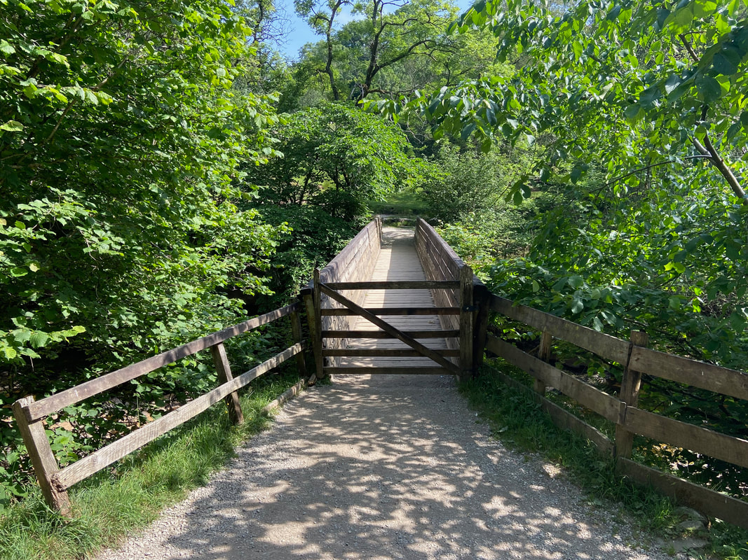
The bridge over the River Swale
The River Swale - the river is said to be the fastest flowing in England, but not today
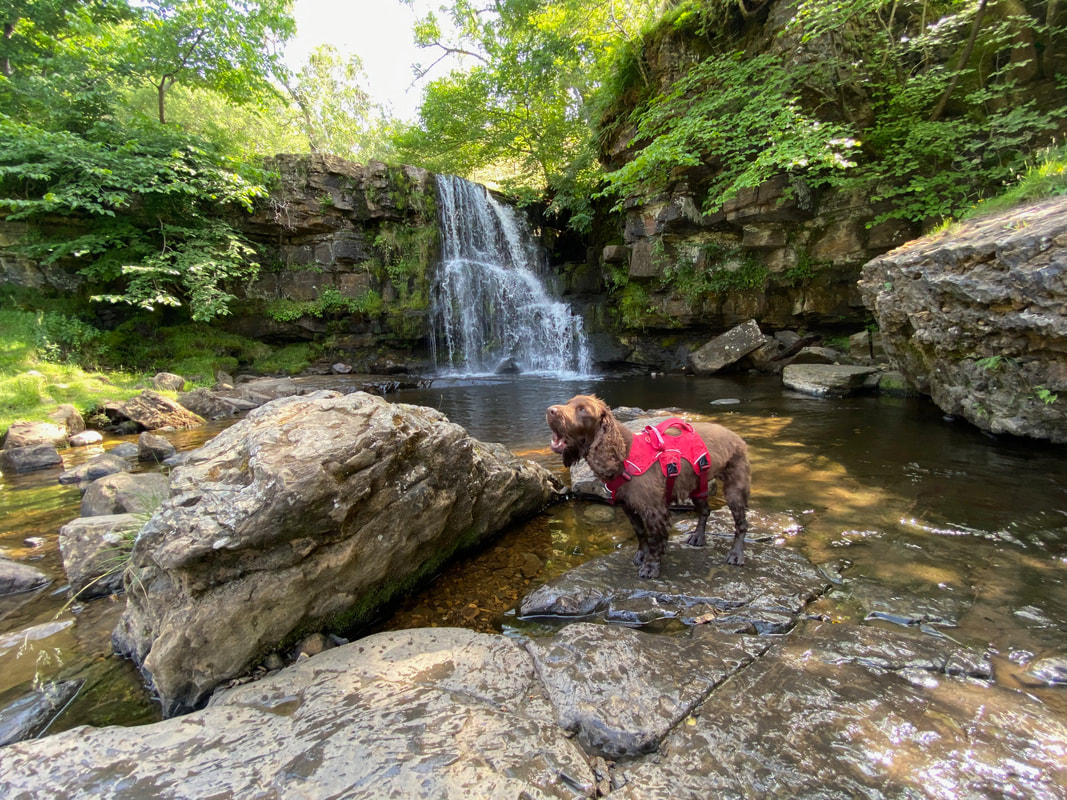
Fudge at East Gill Force - nothing like a bit of a yawn before a walk eh!
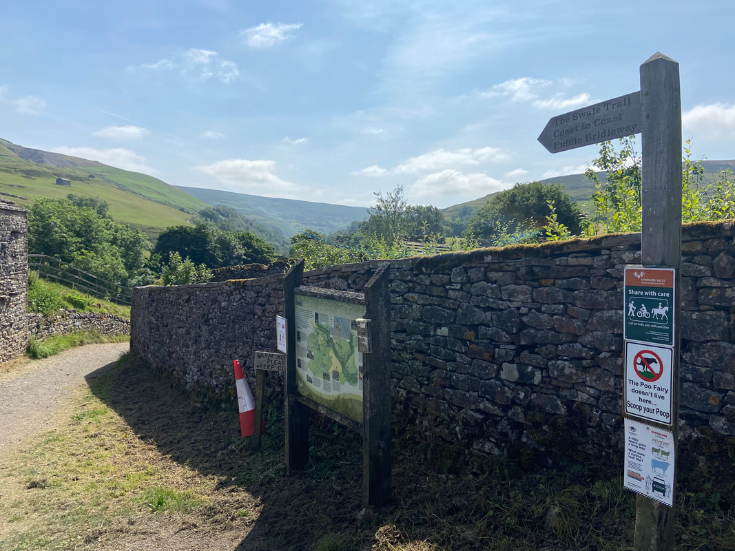
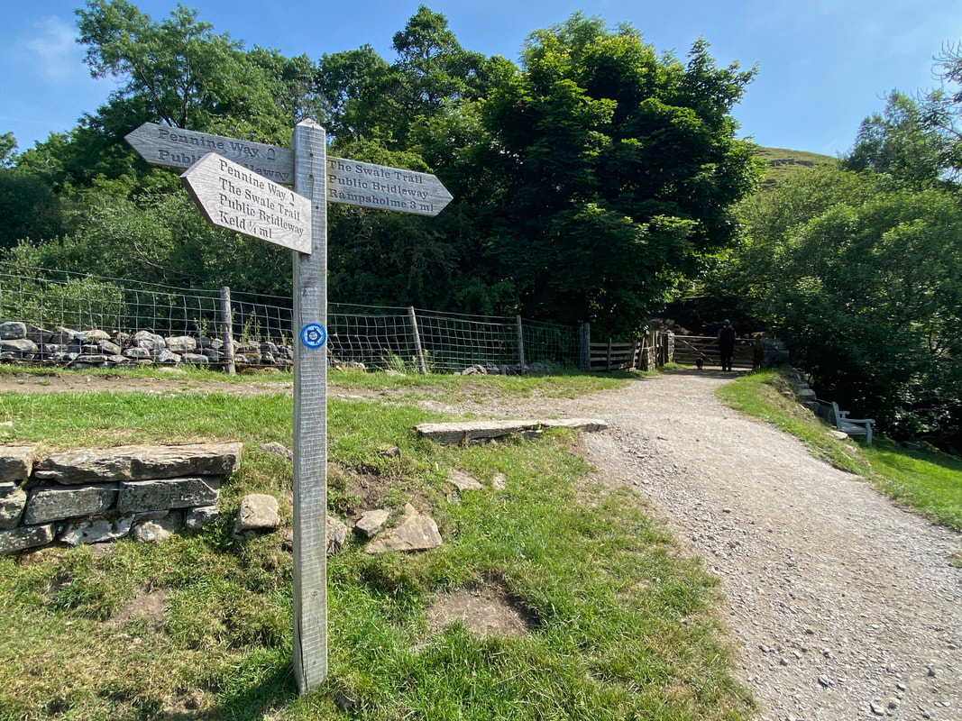
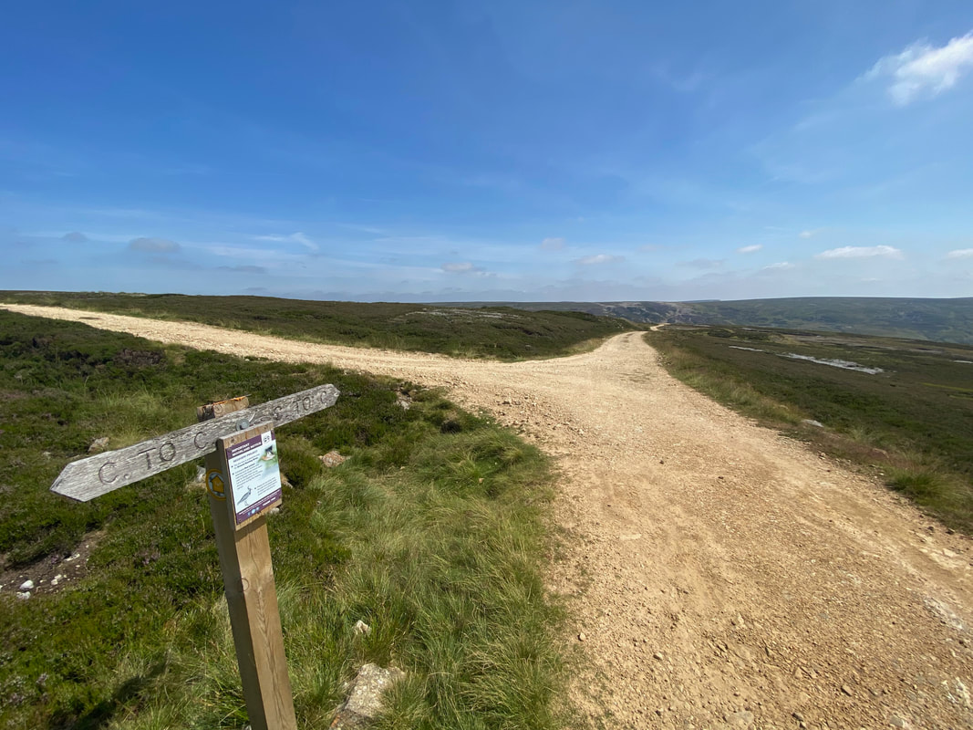
The way mark near East Gill Force. The Pennine Way heads to the left towards Tan Hill with the Coast to Coast path heading right towards Crackpot Hall & Reeth. The Swale Trail also starts/finishes in Keld and is a 12 mile mountain bike route to Reeth.
Kisdon
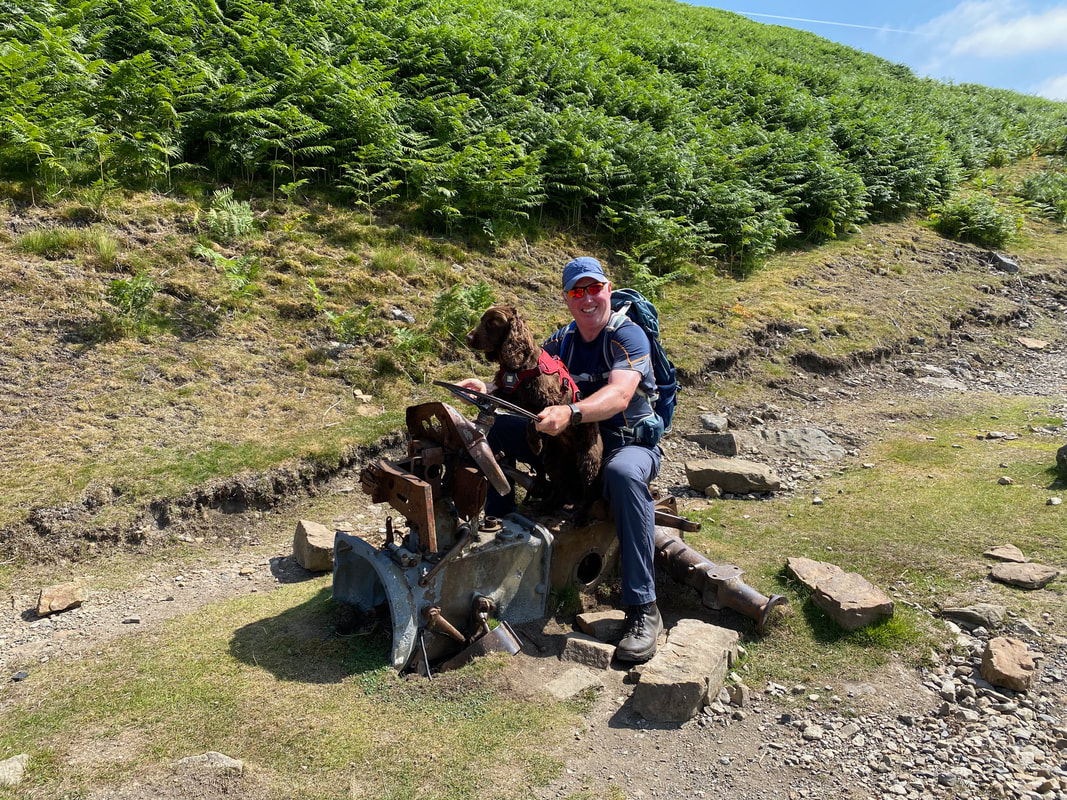
Bit more choke Fudge and I think we can get it started.
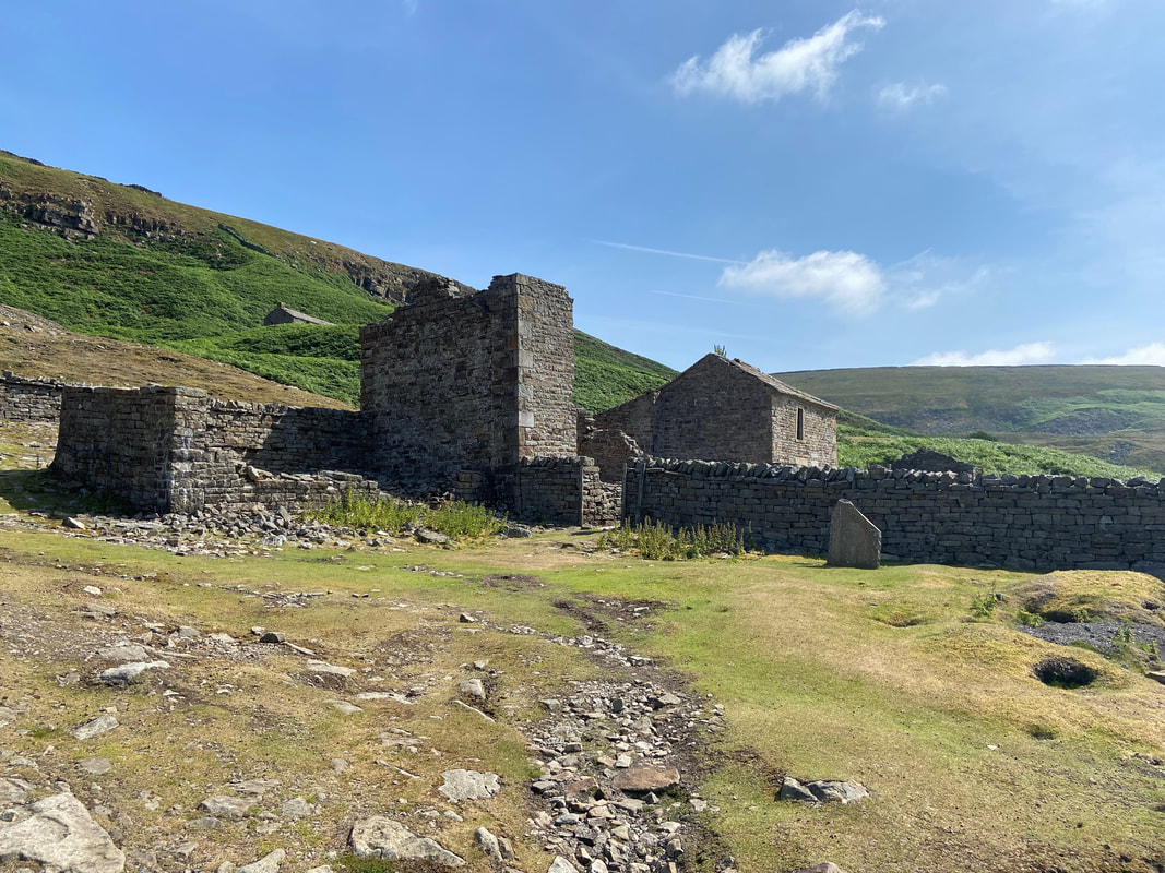
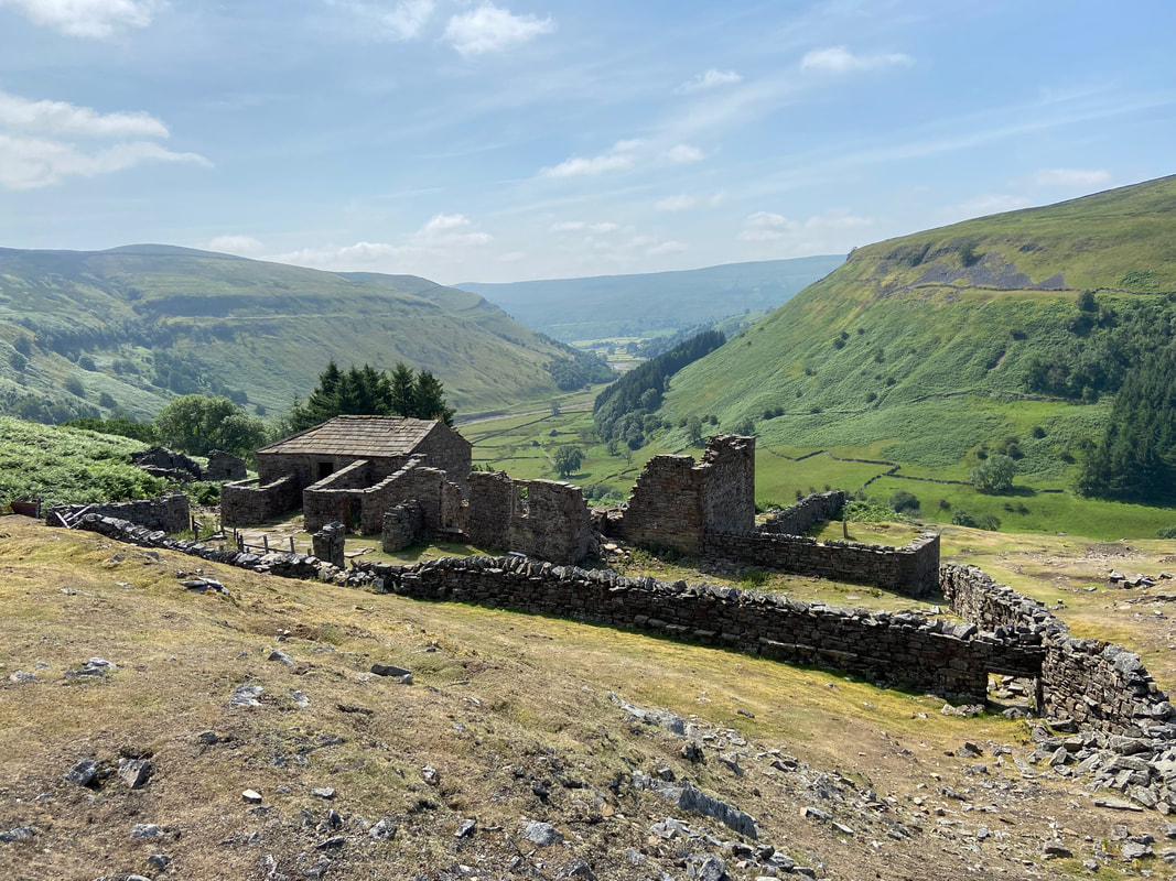
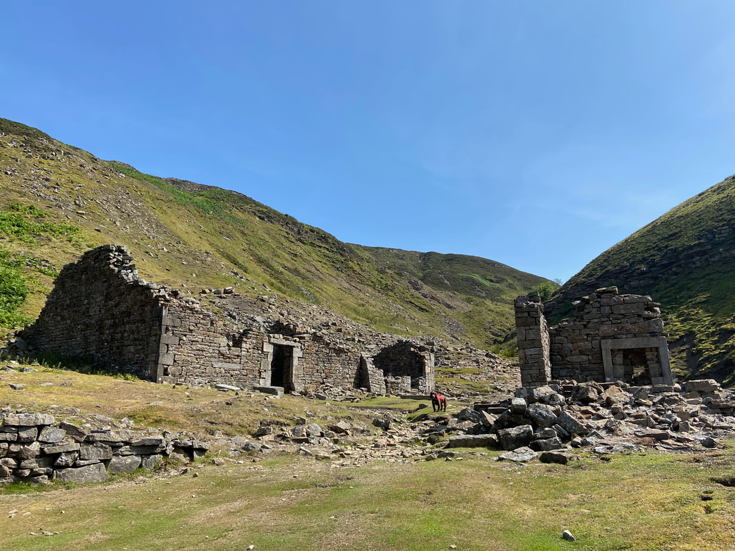
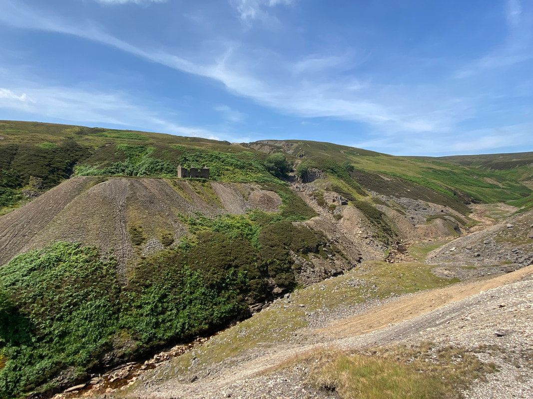
Crackpot Hall. The 18th-century smallholding was abandoned in 1953, when lead mining subsidence rendered it uninhabitable. It is thought that the building may also have been used as offices for the mining companies in the area.
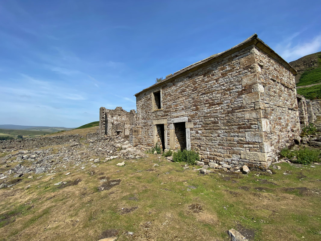
Another view of Crackpot Hall
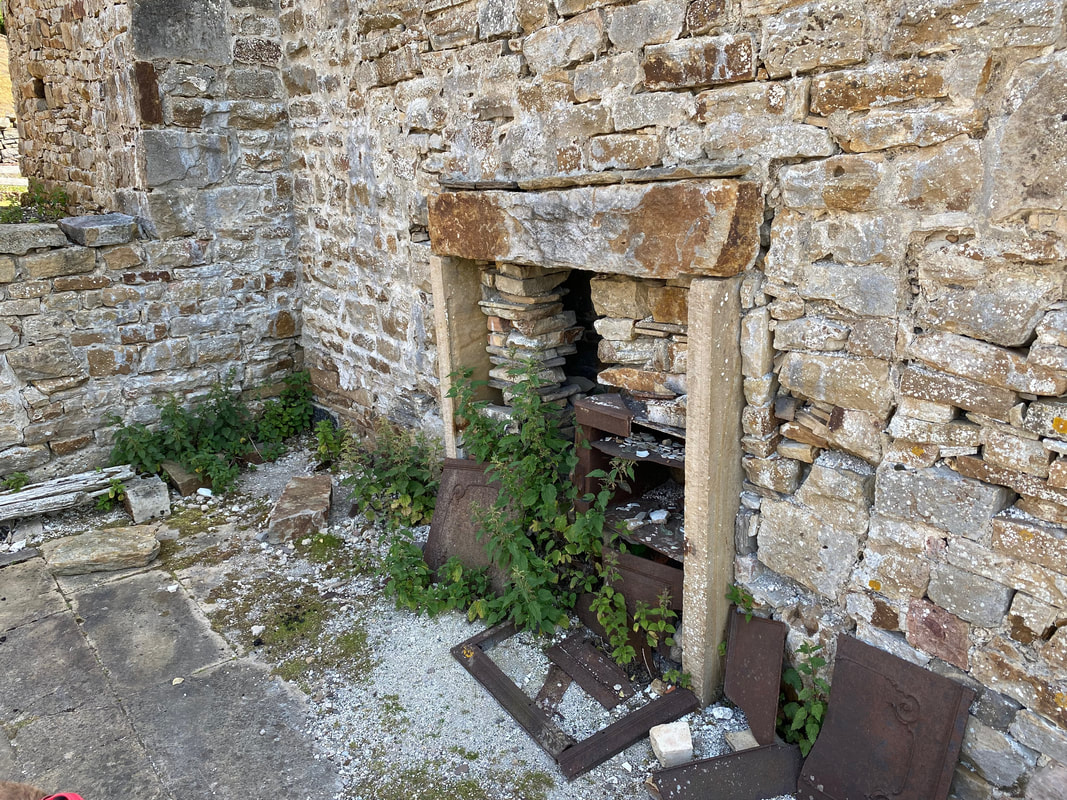
Without disturbing the ruins, it is safe to walk around the perimeter of the property to see features such as this fireplace.
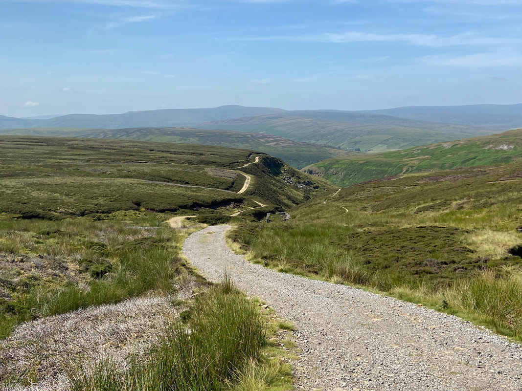
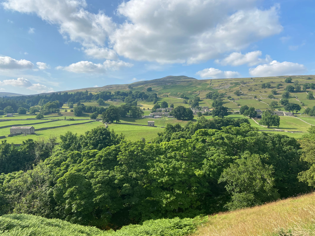
The view down Swaledale from the rear of Crackpot Hall - and what a view it is.
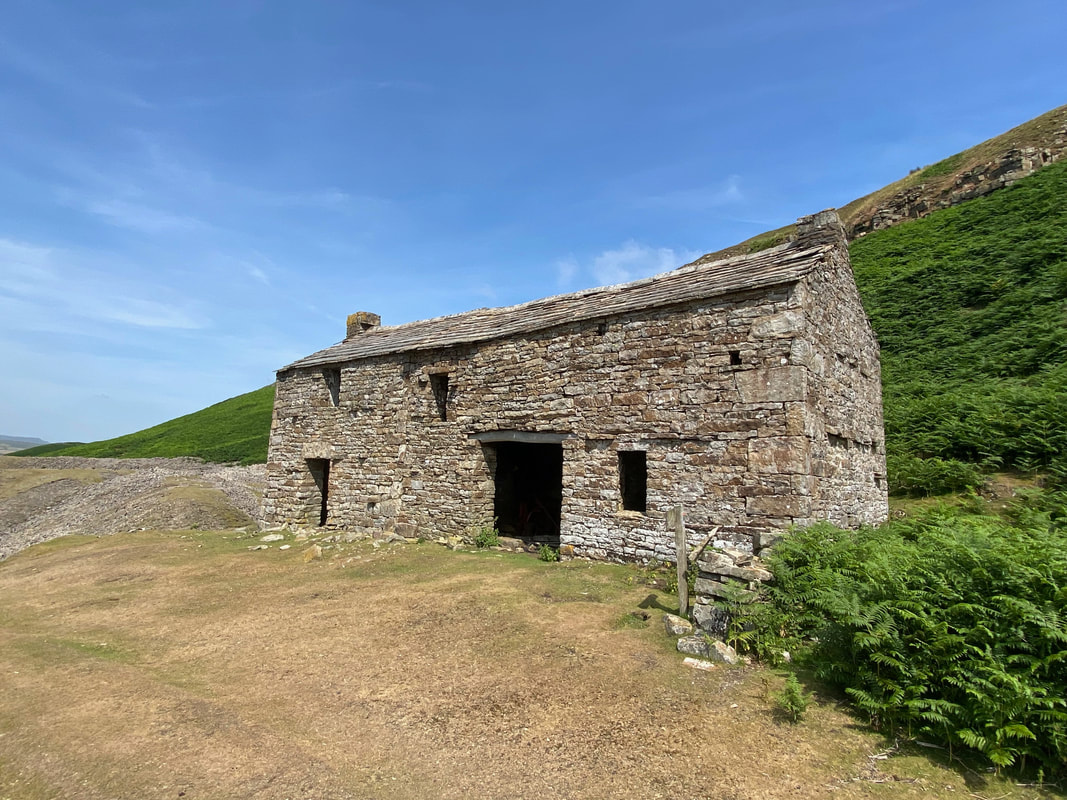
This building above Crackpot Hall is thought to be an old mine Smithy. When the mine closed the building became a storage barn for the owners of Crackpot Hall.
From Crackpot Hall the route heads above Swinner Gill which is to the right
The disused Beldi Hill Lead Mine, East Grain at Swinner Gill
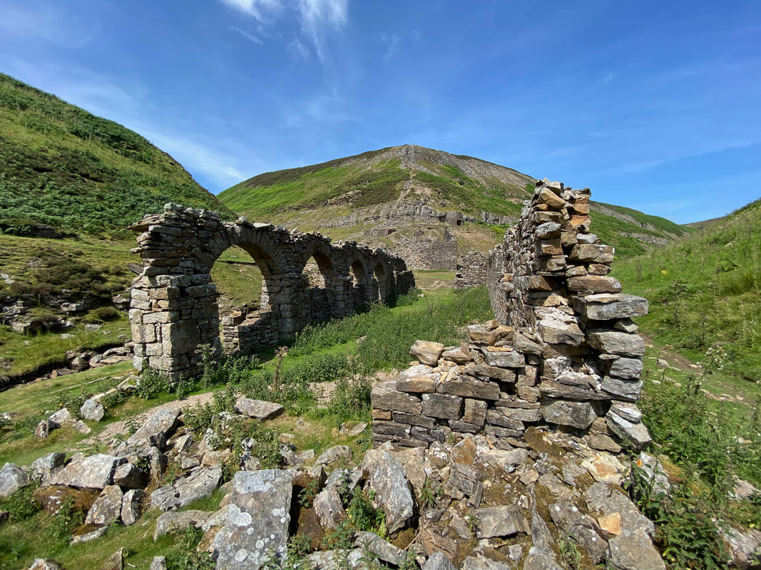
The ruins of Beldi Hill Smelt Mill at Swinner Gill. The smelt mill was operational between 1770 and 1883.
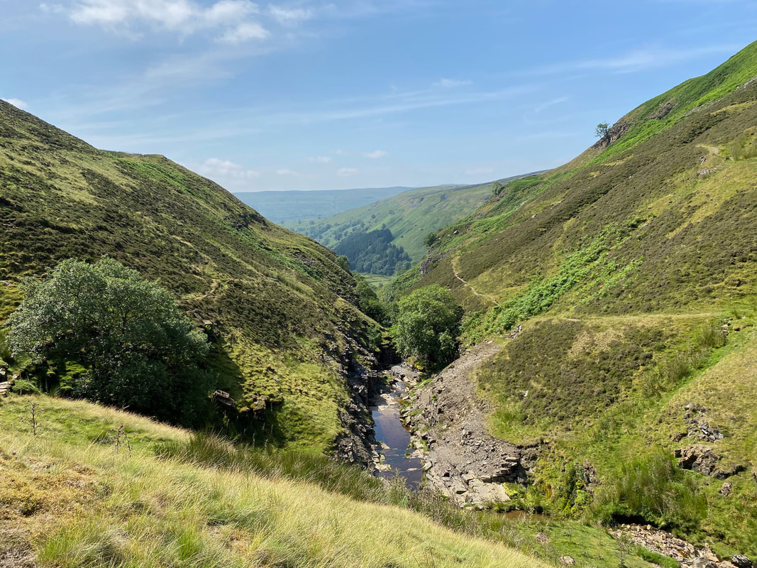
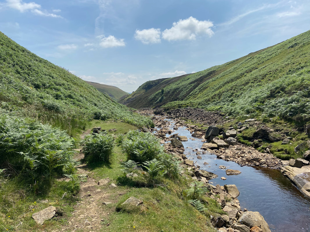
Looking down Swinner Gill from Fair Yew End - our path can be seen to the right of the gill
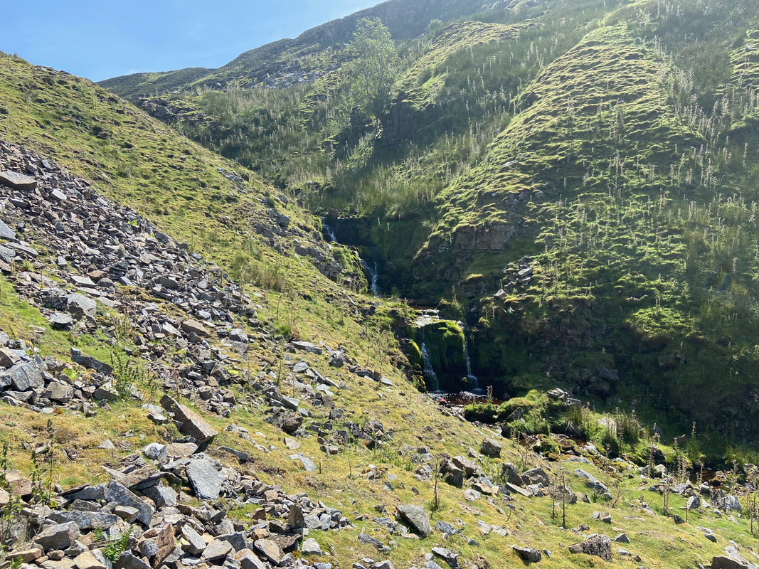
Lovely cascades at Swinner Gill
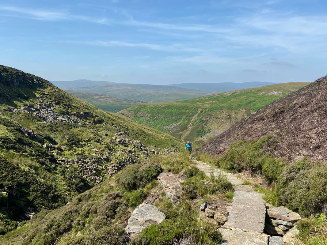
The climb up the gill is now on a very good flagstone path which replaced the rather treacherous ascent via the lower sides of the gill. The path had to be diverted due to the amount of footfall it received as this is the Coast to Coast route to Reeth.
The path reaches a high level moorland track
Looking back down to the top of Swinner Gill from the moorland track. Our route can clearly be seen to the right - the track heading to the left is for Ramps Holme & Muker.
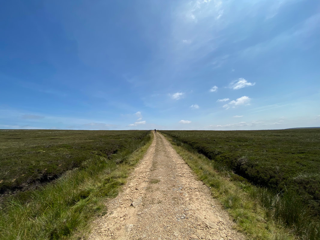
Nobody here as we head along the moorland track
Heading along the moorland track above Swinner Gill (click Play to view)
A path heads off to the left which leads to the Nuttall's of Rogan's Seat & Water Crag - we would be heading straight on
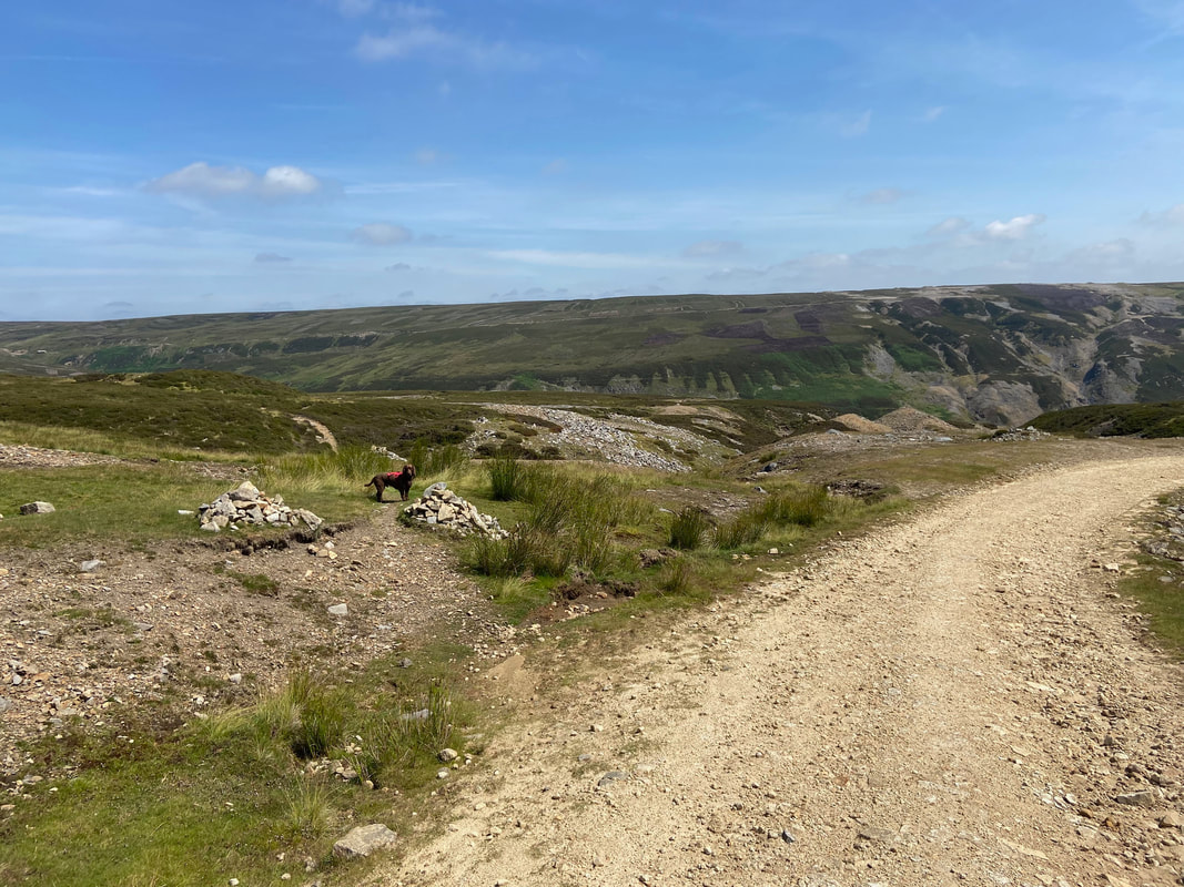
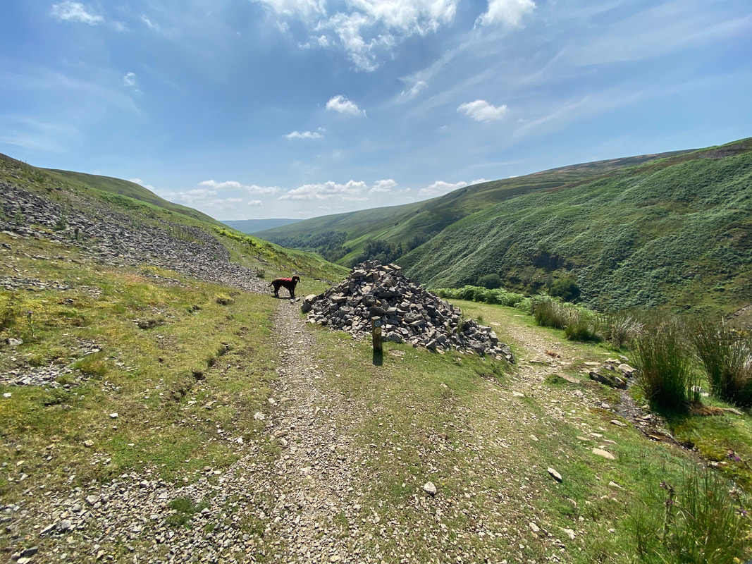
Despite there being two cairns marking the route down to Lownathwaite, this path is easily missed by people doing the Coast to Coast, particularly if you don't know it is there. It turns left off the main track at Grid Reference NY 93189 01310. The areas in the distance are Fairfold Moor to the left & Melbecks Moor to the right.
North Hush
"Hushing" is an ancient and historic mining method using a flood or torrent of water to reveal mineral veins. The method was applied in several ways, both in prospecting for ores and for their exploitation. Mineral veins are often hidden below soil and sub-soil, which must be stripped away to discover the ore veins. A flood of water is very effective in moving soil as well as working the ore deposits when combined with other methods.
"Hushing" is an ancient and historic mining method using a flood or torrent of water to reveal mineral veins. The method was applied in several ways, both in prospecting for ores and for their exploitation. Mineral veins are often hidden below soil and sub-soil, which must be stripped away to discover the ore veins. A flood of water is very effective in moving soil as well as working the ore deposits when combined with other methods.
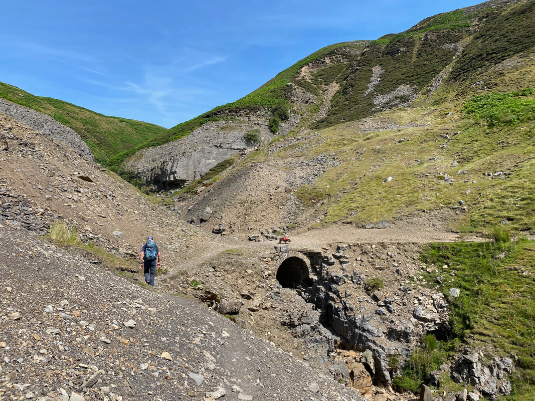
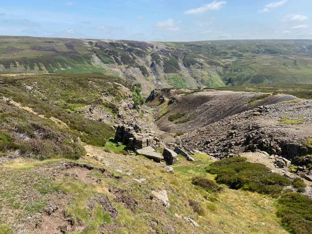
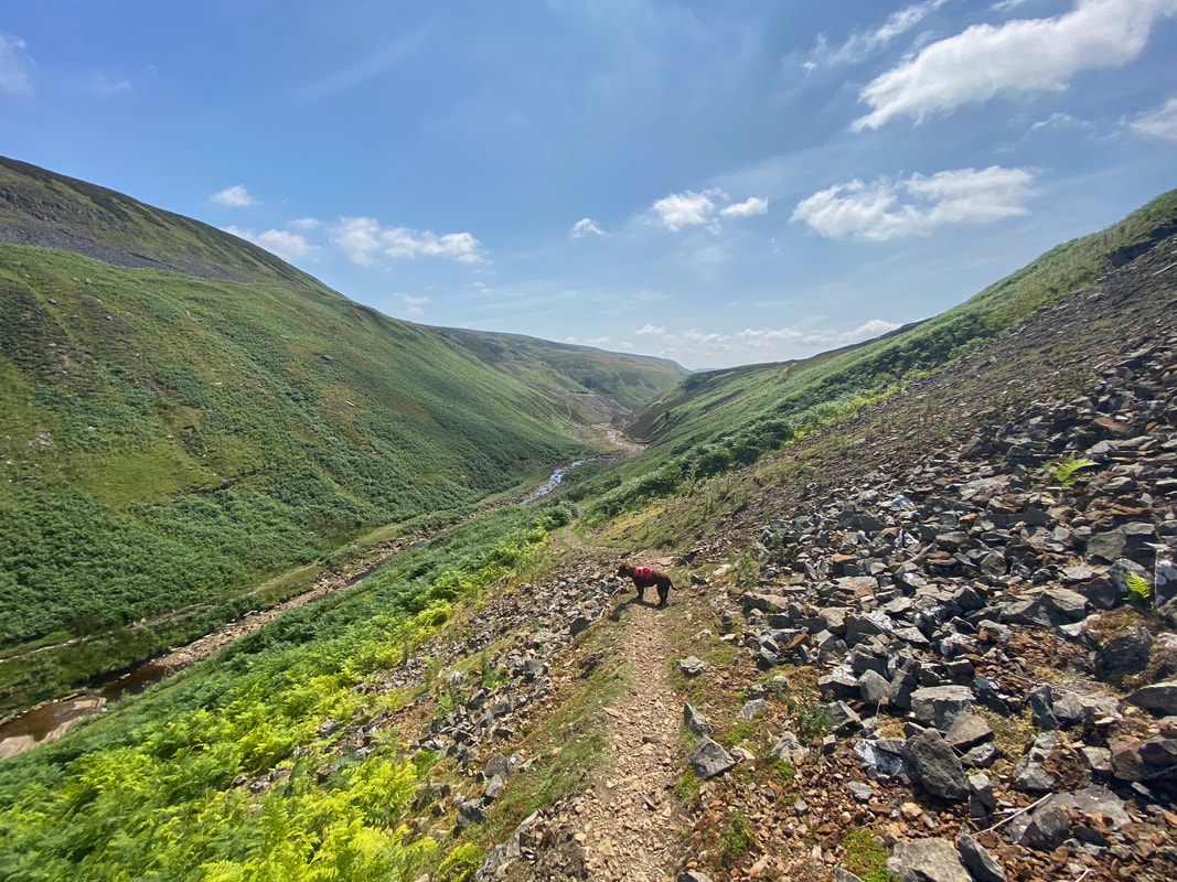
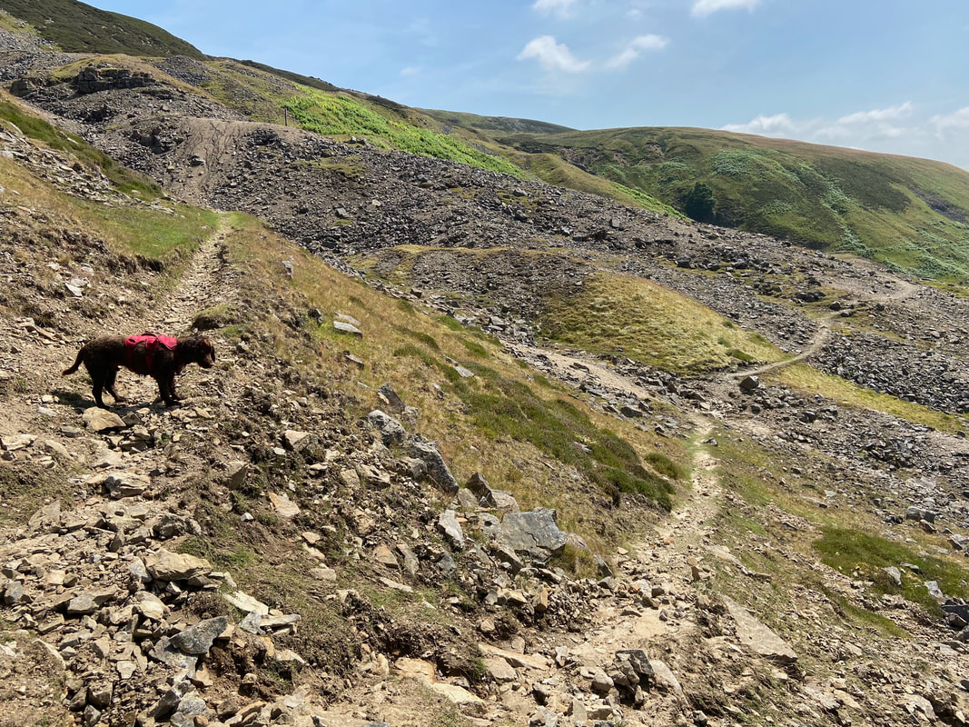
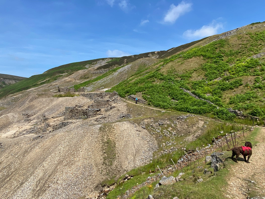
Heading down to Lownathwaite Lead Mine. Care needs to be taken on this path as it is over loose stone on a steep gradient. Near the valley bottom the path zig zags to reach the ruined mine buildings.
Another view of the path to Lownathwaite - take your time and there is little difficulty
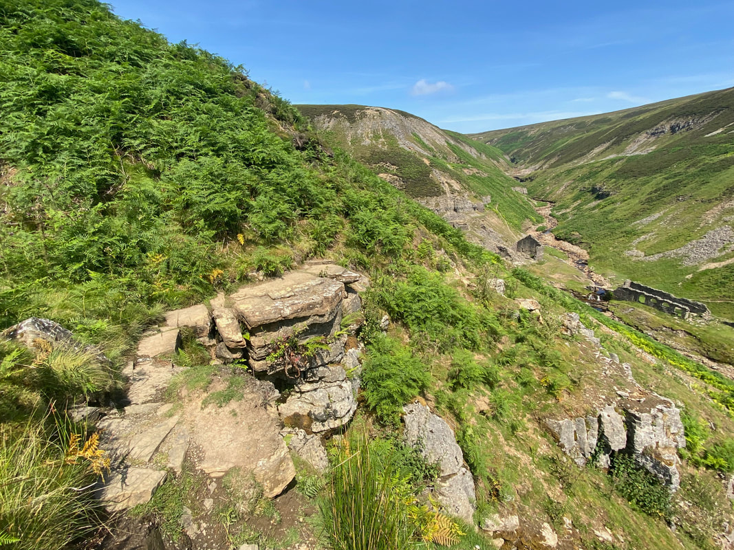
Once the loose stone is negotiated, the gradient eases as the path switches back on itself to reach the valley floor
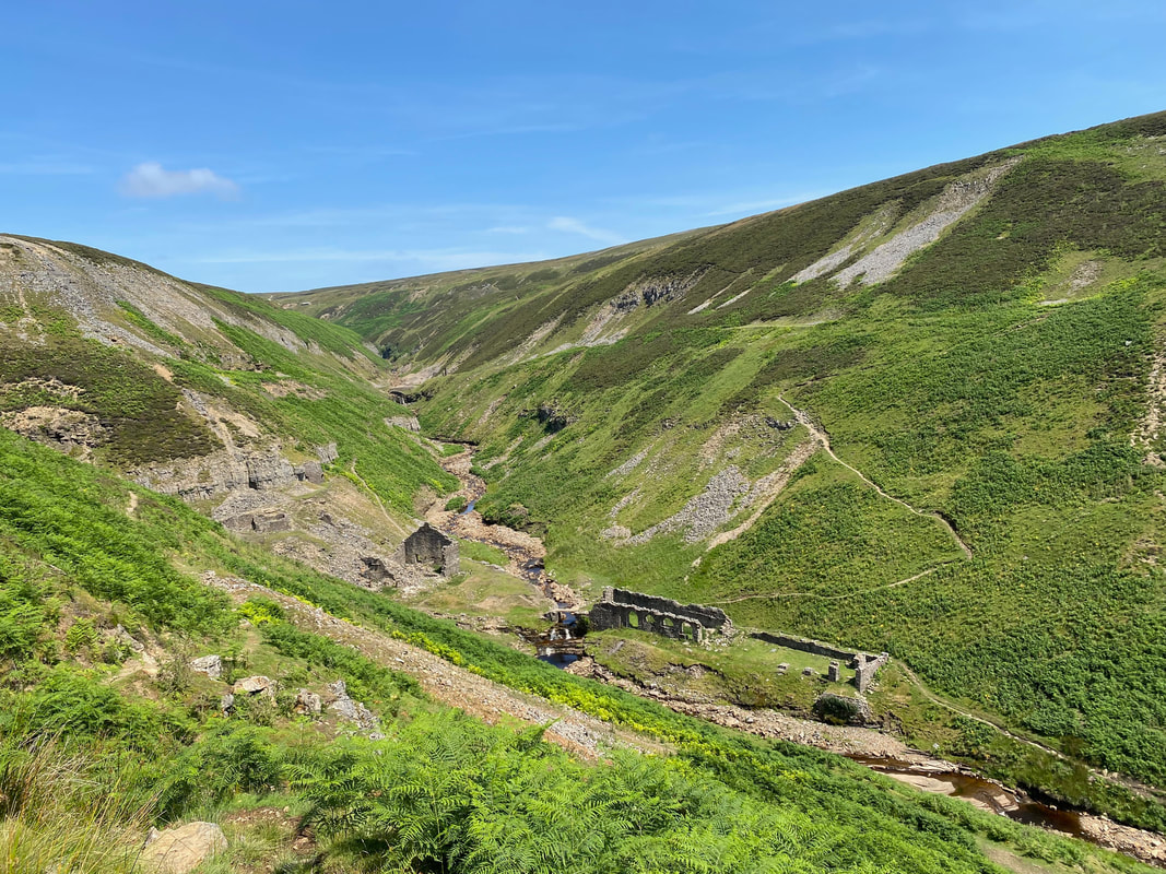
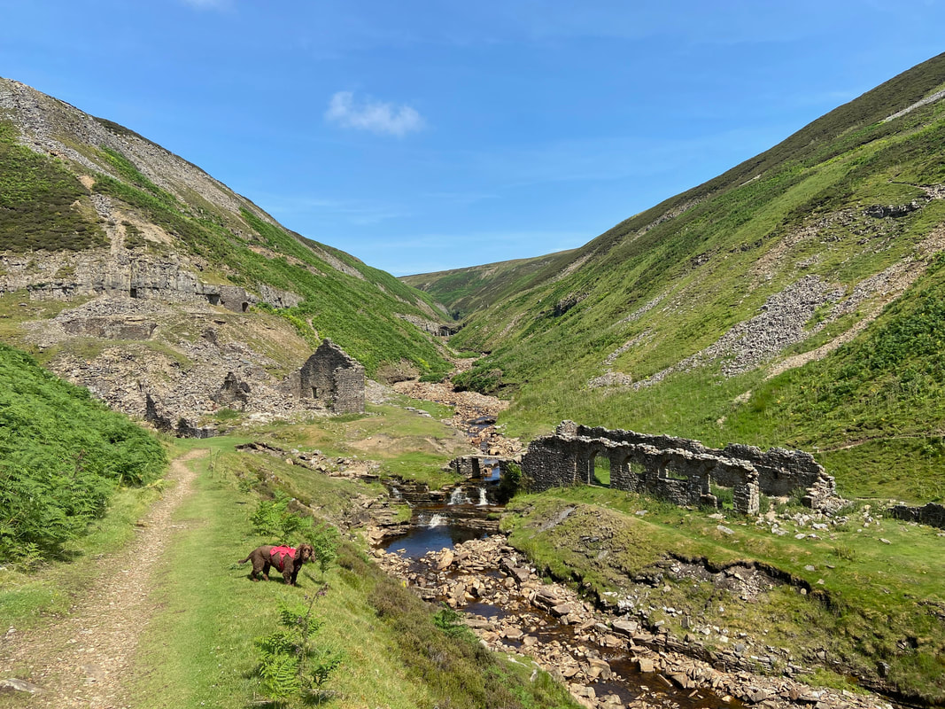
We have been here many times to Lownathwaite Mine Ruins and enjoyed a pleasant rest in and around the gill & buildings. Fudge knows very well there is an inviting doggy plunge pool down below and is waiting for me to tell him he can go in it.
Heading down to Lownathwaite Mine Ruins (click Play to view)
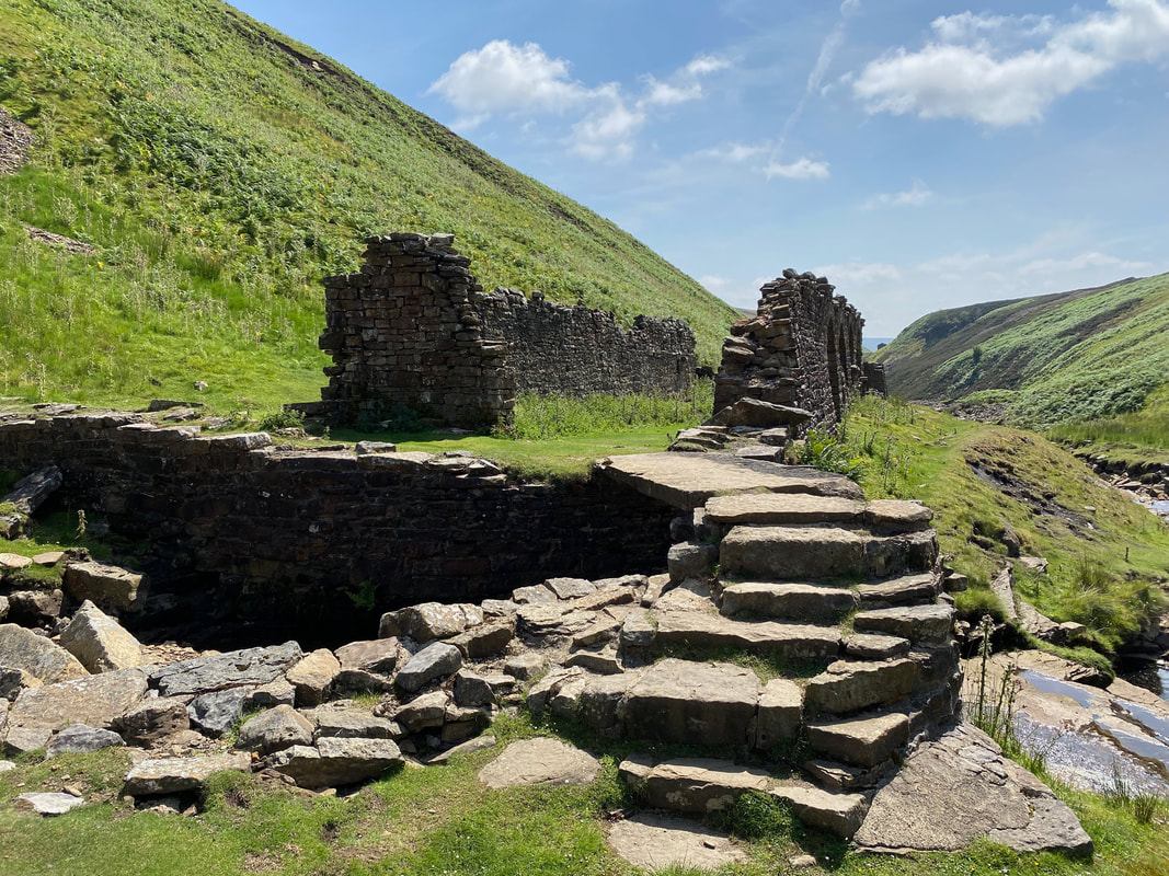
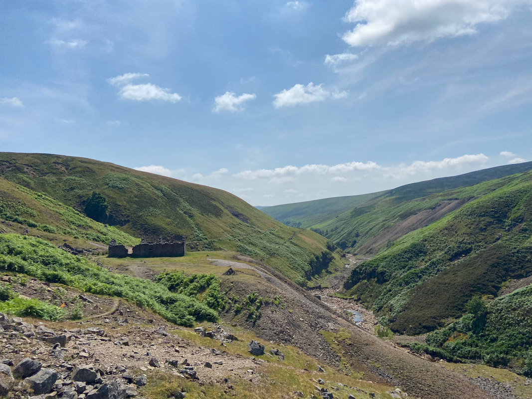
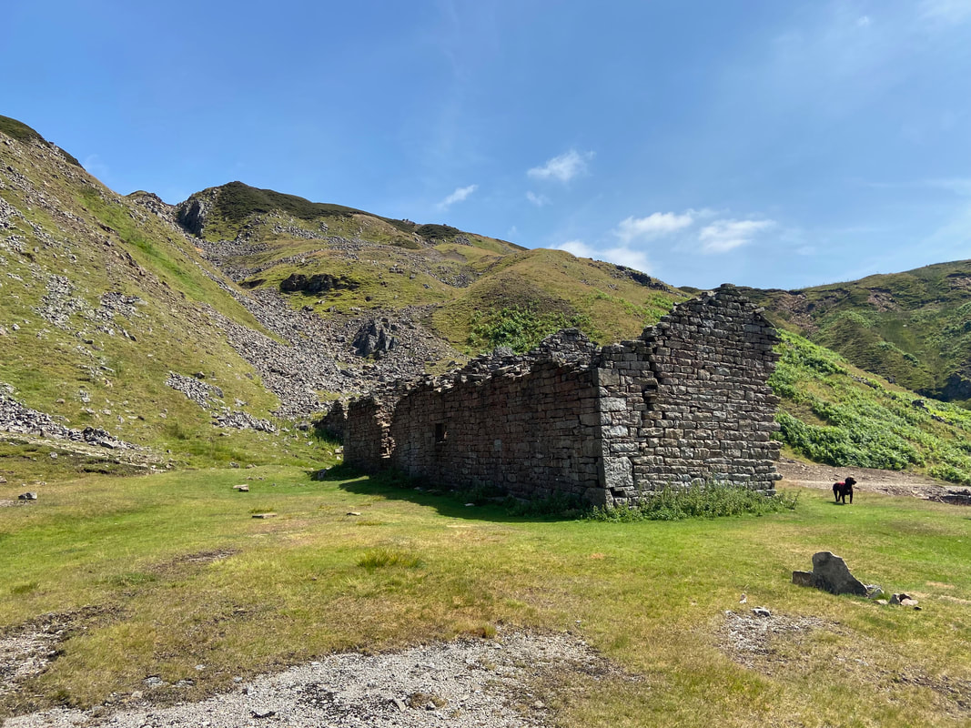
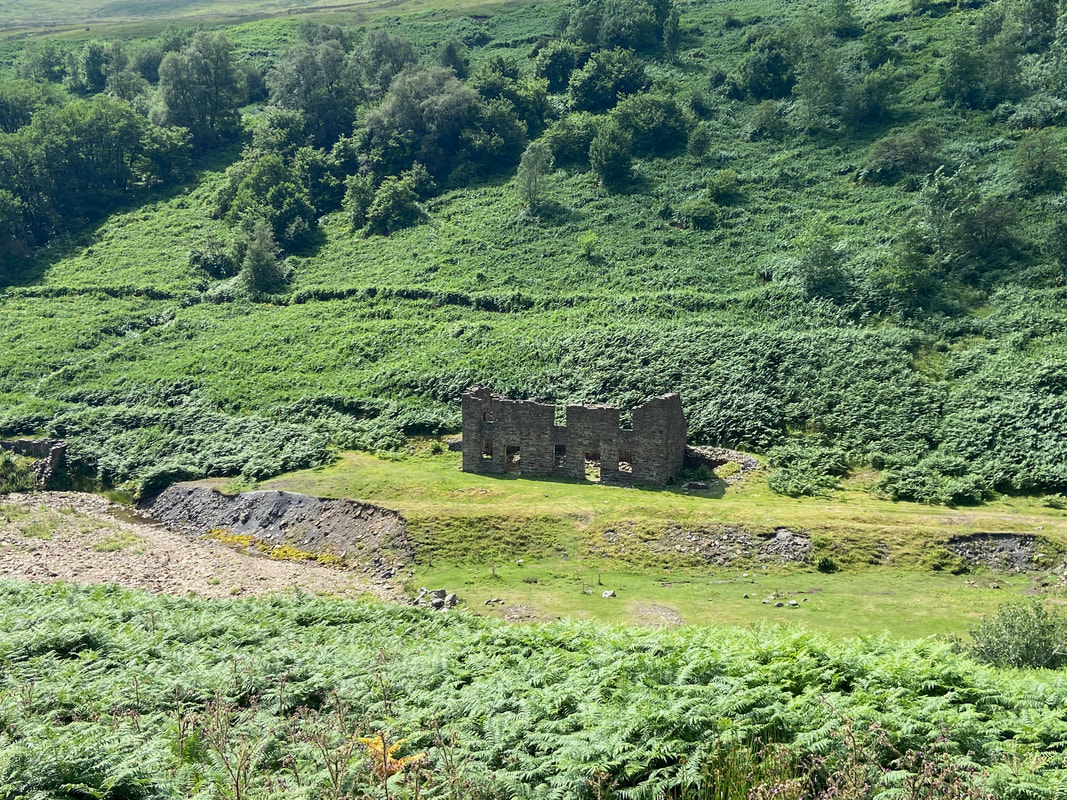
The ruined peat store at Lownathwaite Mill. It appears that the mill was used for smelting ore raised at Lownathwaite, Blakethwaite, Lane End and maybe Swinner Gill until at least 1824, when it was replaced by Blakethwaite Mill further up the valley.
Looking to the ruined mill buildings from the peat store.
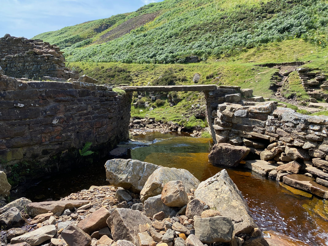
The bridge over Gunnerside Gill and Fudge's doggy plunge pool
A couple of videos of Fudge enjoying his doggy plunge pool (click Play to view)
Another view of the ruined peat store at Lownathwaite
Leaving Lownathwaite we would now head down the eastern side of Gunnerside Beck which would lead us all the way to Gunnerside. This was a route we had not done before therefore we were looking forward to it.
Bunton Hush - wrong path Fudge, we are taking the lower one
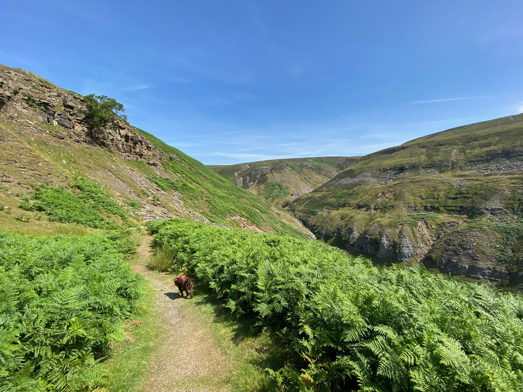
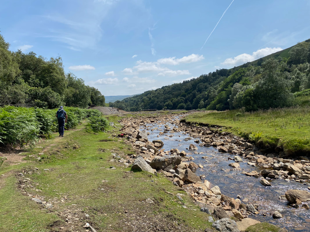
The path stays high above Gunnerside Beck as we continue south towards Gunnerside
Looking across Gunnerside Beck to the Dolly Lead Level
More ruined mine buildings - this would more than likely have been another peat store
Another disused building at Bunton Mine
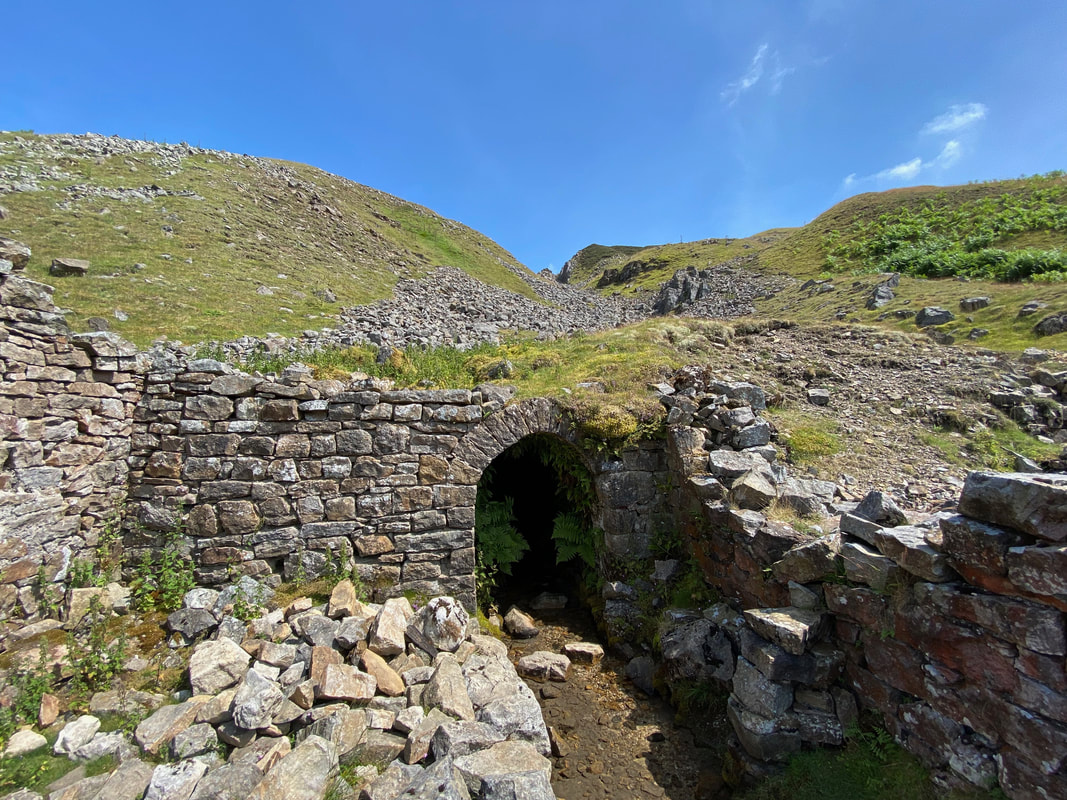
An entrance to one of the levels at Bunton Mine
Fudge watches his Mum with great interest as we pass through Bunton Mine
Wrong path again Fudge - lower one
The building known as the Bunton Mine Shop on the western side of Gunnerside Beck
Approaching the Sir Francis Mine Level
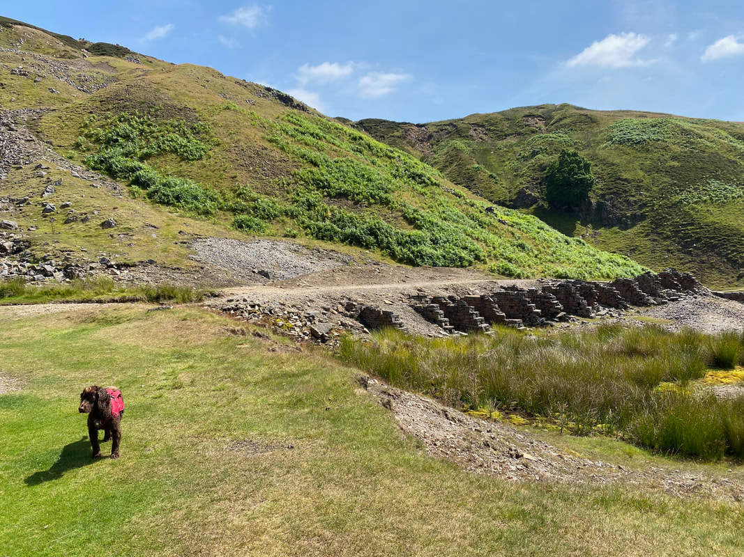
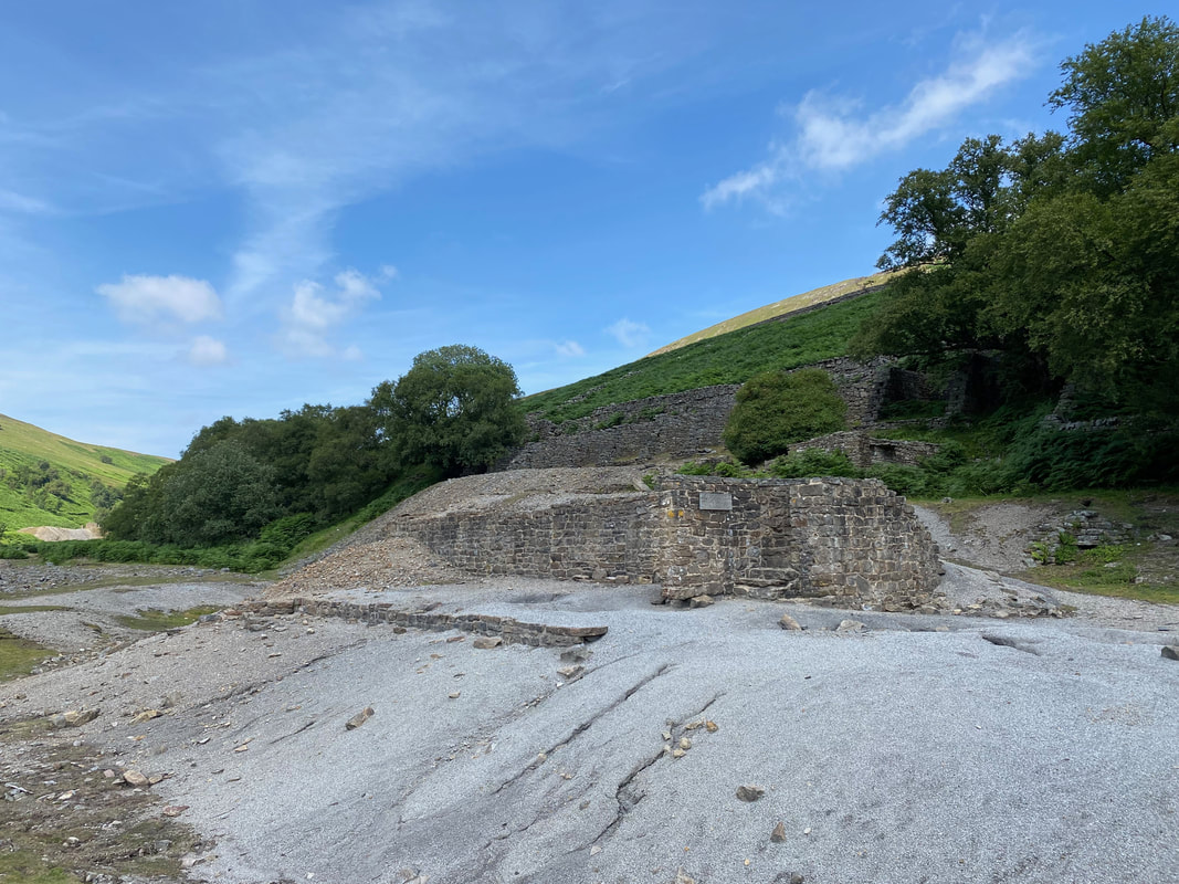
The "dressing floor" at the Sir Francis Mine Level. This level was a major venture started in 1864 with the encouragement of the mine owner, Sir George Denys. It was named after his son and was an attempt to tap deep lying deposits. Work went on until the early 1880s but the venture was never commercially successful.
The dressing floor was the area where lead ore was crushed and sorted before being sent to be smelted into lead. The stone chambers were used to store the ore-rich material before it was dressed.
The dressing floor was the area where lead ore was crushed and sorted before being sent to be smelted into lead. The stone chambers were used to store the ore-rich material before it was dressed.
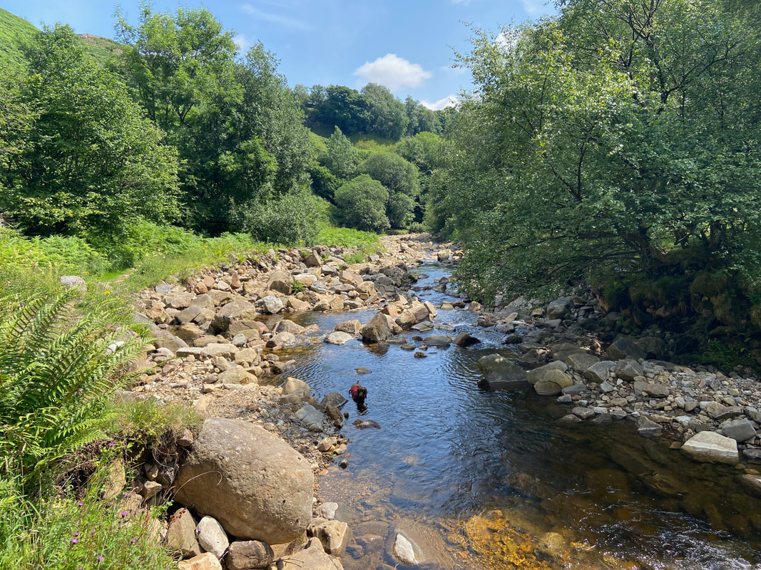
As is usual, Fudge took a nice cool dip in Gunnerside Beck when the opportunity presented itself
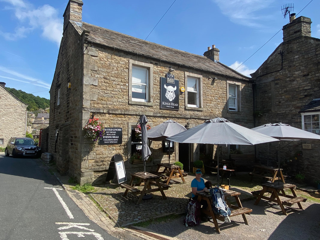
The Kings Head in Gunnerside and a welcome drink on a warm day
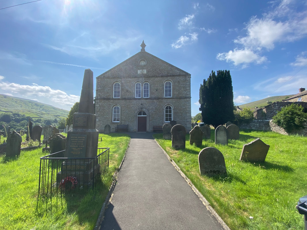
Gunnerside Literary Institute
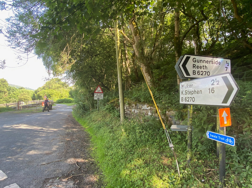
After crossing Gunnerside New Bridge the route heads along the Swale Trail
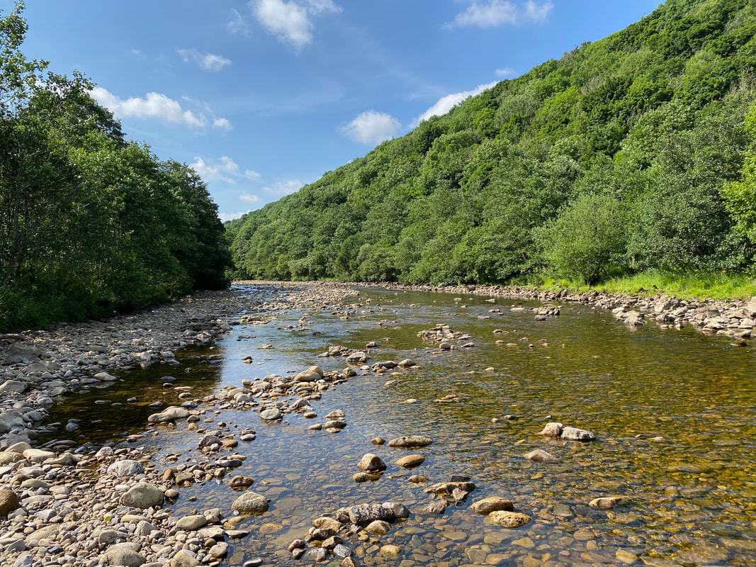
The glorious River Swale from Hag Wood
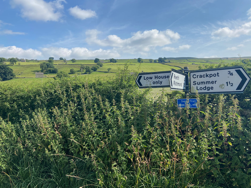
We were off in the direction of Low House - this section was along a quiet lane
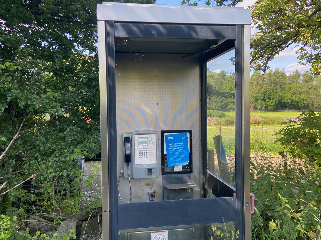
Yes - I bet you are BT
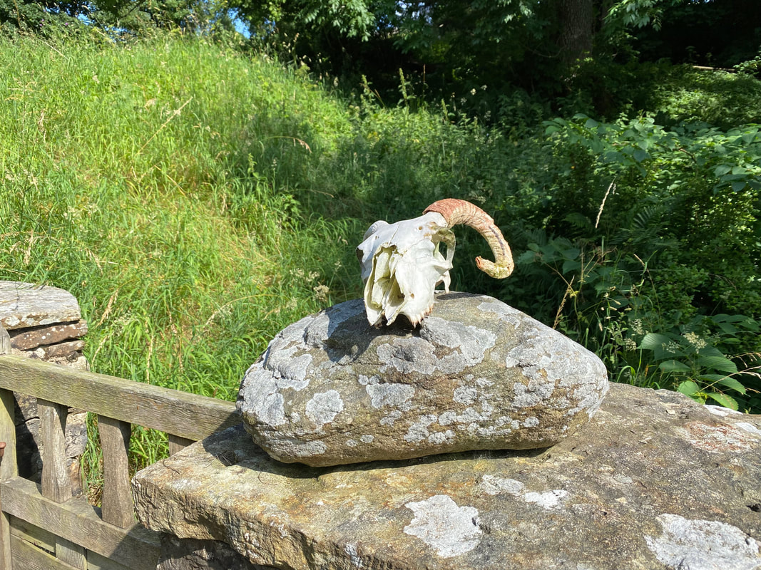
The skull of a Swaledale Sheep at Low House
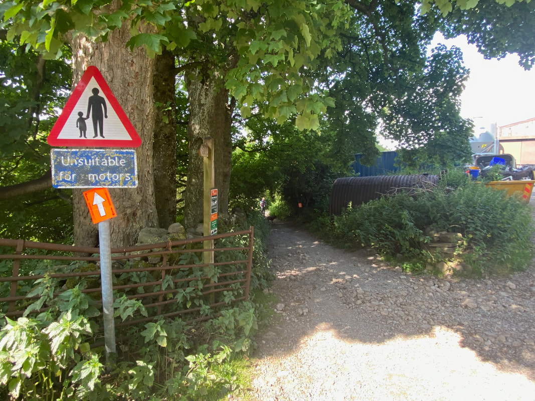
Just after Low House the tarmac lane ends and a rough track called Low Lane is followed to the left
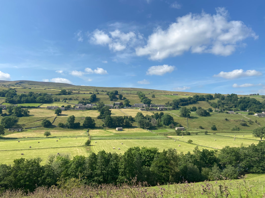
Looking across to the village of Low Row
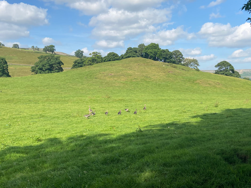
A family outing
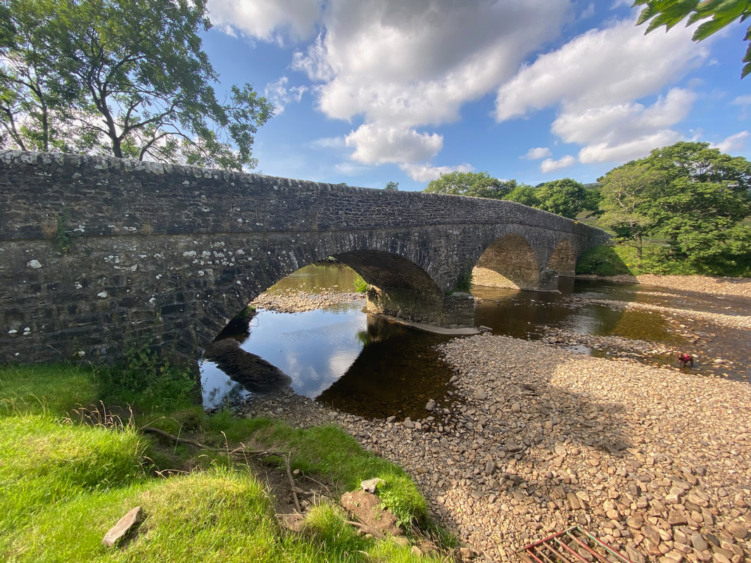
Scabba Wath Bridge over the River Swale
Approaching Stubbin Farm
Looking across to the village of Healaugh with Calver Hill beyond
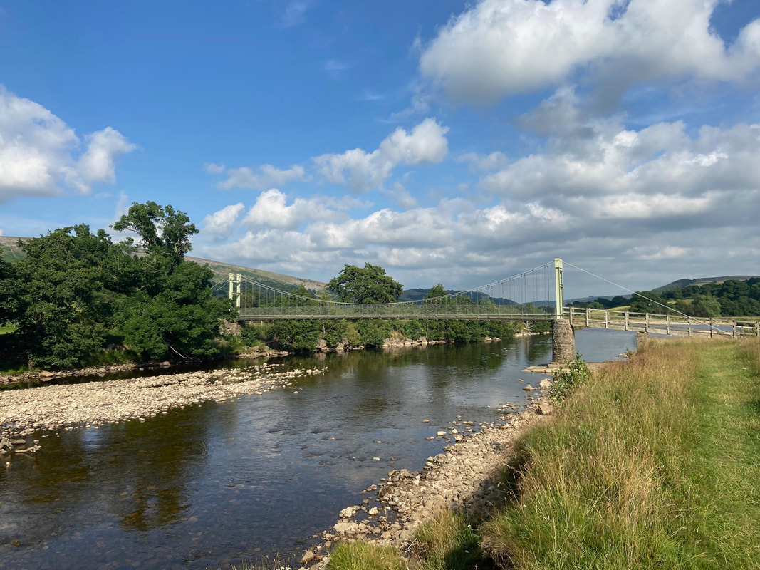
Reeth Suspension Bridge. Originally built in the 1920’s, it was rebuilt in 2002 after being washed away. We would not cross it today and instead stay on the south side of the river heading for Grinton.
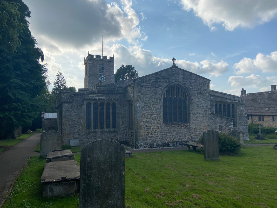
St Andrew's Church, Grinton
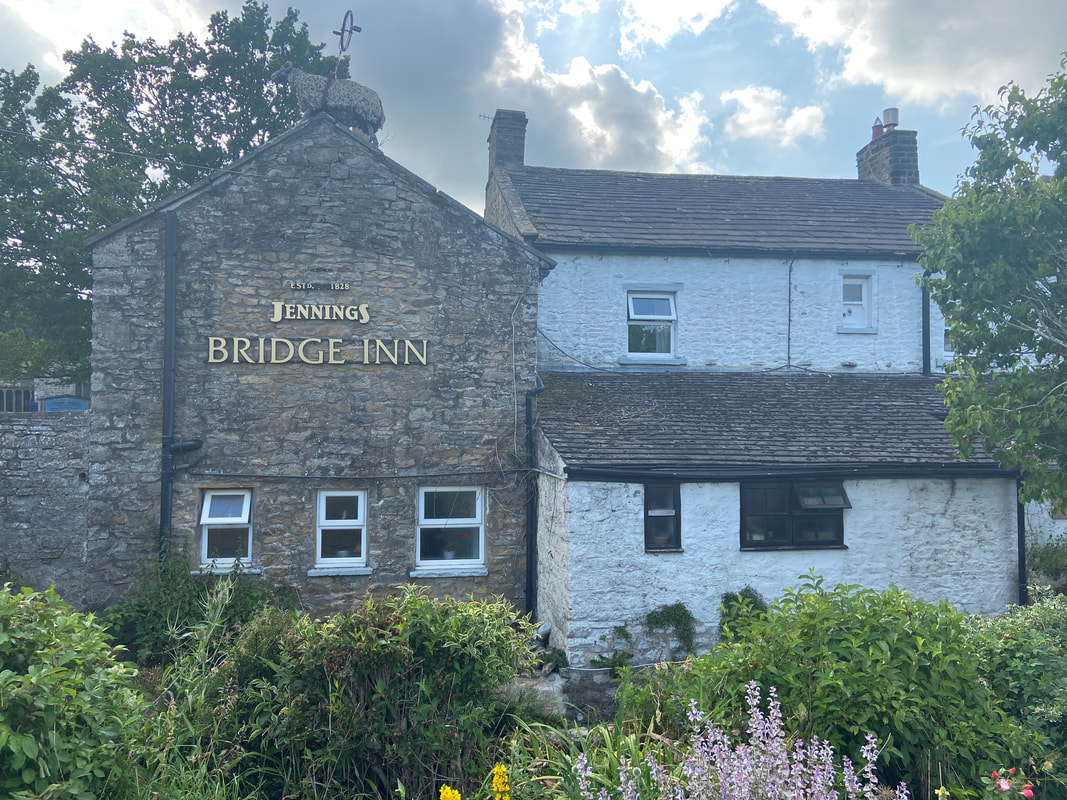
The Bridge Inn at Grinton - well, silly not to I suppose (and we did)
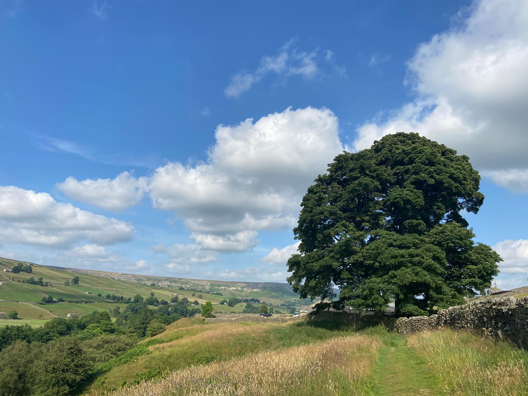
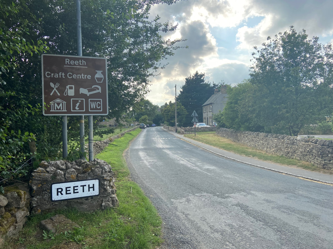
Arriving back in Reeth via Low Fremington - a superb days walking in beautiful Swaledale
