Grey Crag, Tarn Crag, Branstree & Selside Pike - Tuesday 11 May 2021
Route
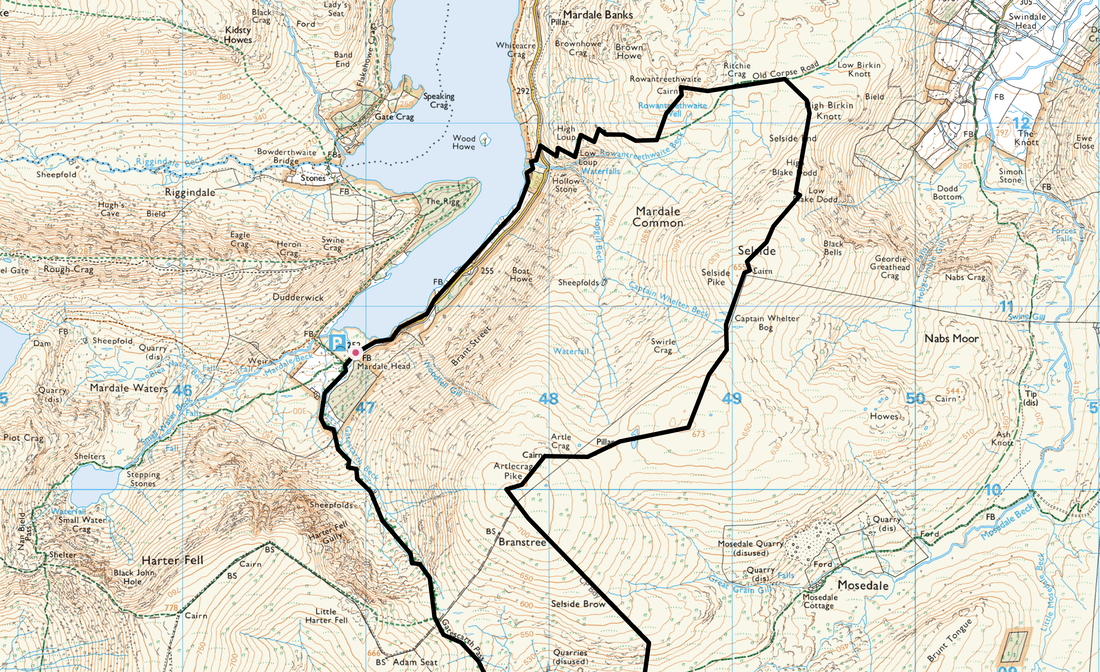
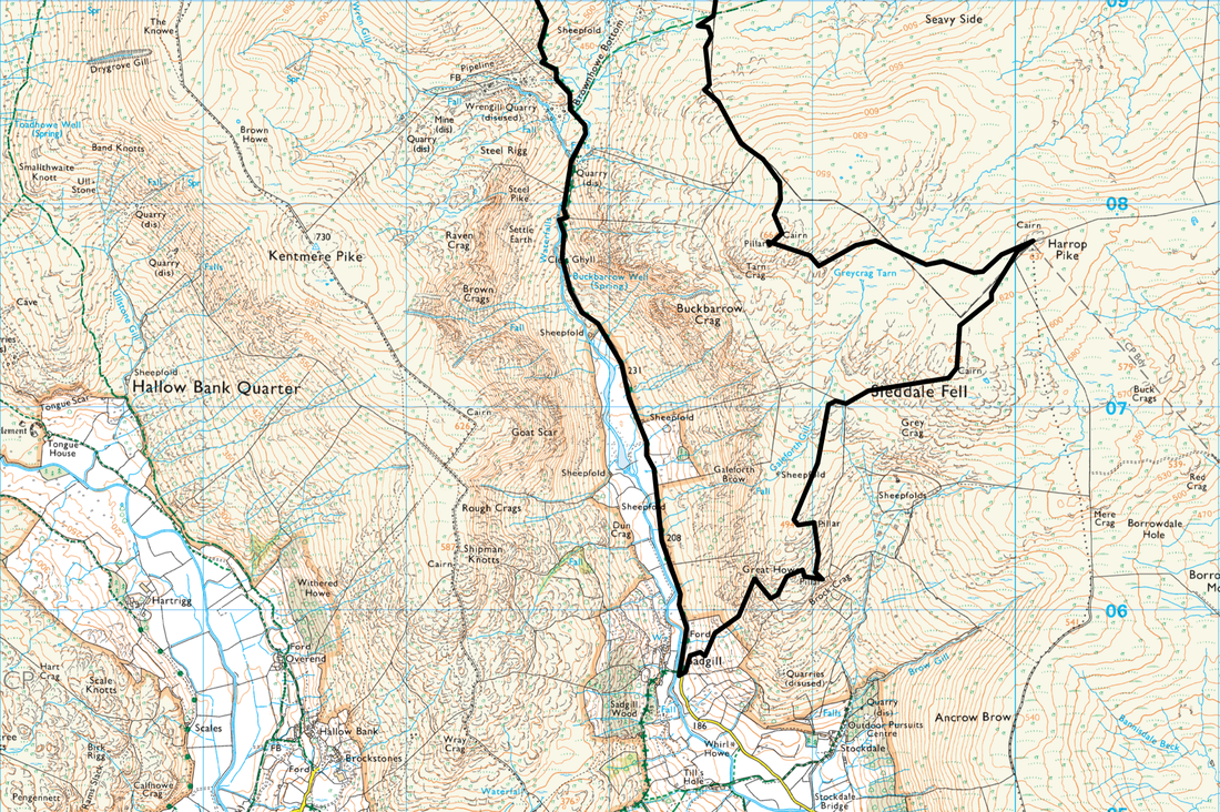
Mardale Head - Gatescarth Pass - Longsleddale - Sadgill - Great Howe - Grey Crag - Harrop Pike - Tarn Crag - Selside Brow - Branstree - Artlecrag Pike - High Howes (Branstree NE Top) - Captain Whelter Bog - Selside Pike - Old Corpse Road - Brown Howe - Haweswater Lakeshore - Mardale Head
Parking
Southern end of Haweswater Reservoir at Mardale Head (Free) - Grid Ref NY469107. Nearest postcode is CA10 2RP.
Mileage
13.7 miles
Terrain
Good mountain paths with some mildly boggy sections, notably between Great Howe & Grey Crag and Harrop Pike & Tarn Crag.
Weather
Sunny with light breezes turning overcast late afternoon.
Time Taken
8hrs 20mins
Total Ascent
3861ft (1177m)
Wainwrights
4
Map
OL5 - The English Lakes (North Eastern Area)
OL7 - The English Lakes (South Eastern Area)
Walkers
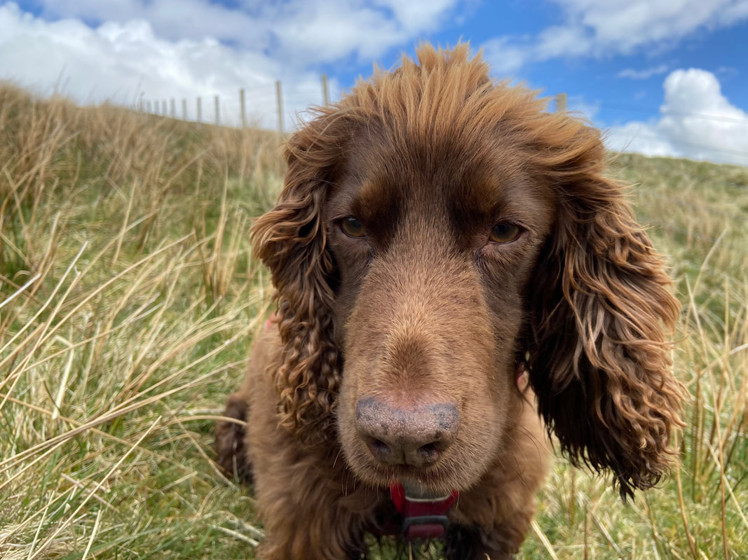
Dave, Angie & Fudge
Mardale Head - Gatescarth Pass - Longsleddale - Sadgill - Great Howe - Grey Crag - Harrop Pike - Tarn Crag - Selside Brow - Branstree - Artlecrag Pike - High Howes (Branstree NE Top) - Captain Whelter Bog - Selside Pike - Old Corpse Road - Brown Howe - Haweswater Lakeshore - Mardale Head
Parking
Southern end of Haweswater Reservoir at Mardale Head (Free) - Grid Ref NY469107. Nearest postcode is CA10 2RP.
Mileage
13.7 miles
Terrain
Good mountain paths with some mildly boggy sections, notably between Great Howe & Grey Crag and Harrop Pike & Tarn Crag.
Weather
Sunny with light breezes turning overcast late afternoon.
Time Taken
8hrs 20mins
Total Ascent
3861ft (1177m)
Wainwrights
4
Map
OL5 - The English Lakes (North Eastern Area)
OL7 - The English Lakes (South Eastern Area)
Walkers
Dave, Angie & Fudge
|
GPX File
|
| ||
If the above GPX file fails to download or presents itself as an XML file once downloaded then please feel free to contact me and I will send you the GPX file via e-mail.
Route Map
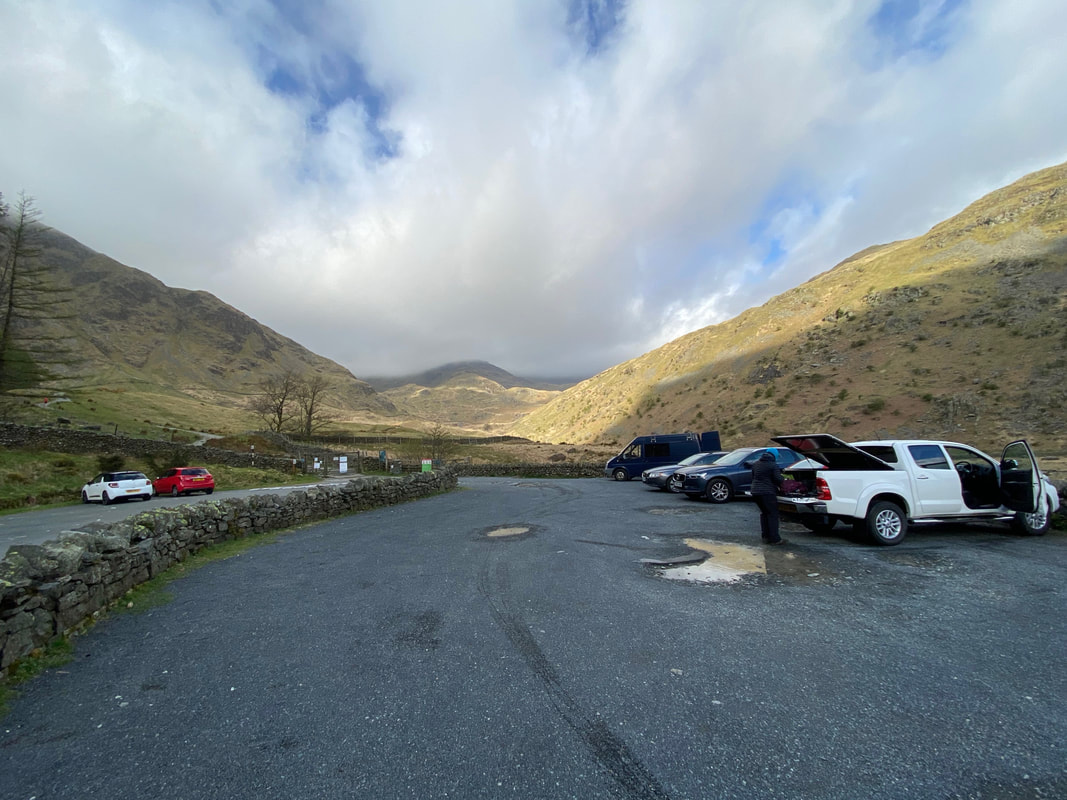
Angie readies her kit as we make to depart from the Car Park at Mardale Head. Meanwhile Fudge is still zonked in the back of the Car. There is plenty of room here normally but as with anywhere in the Lakes with free parking, you need to get here early.
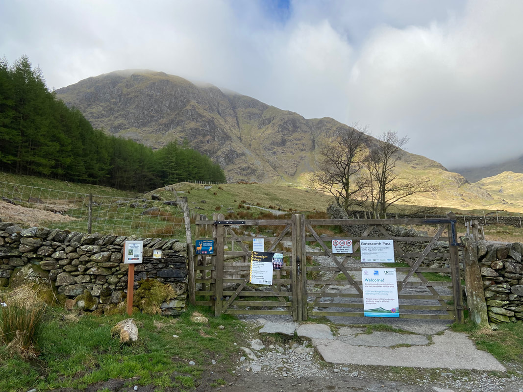
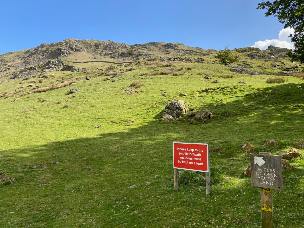
A gate with a myriad of instructions at the south western end of the Car Park gives access to the fell side. Harter Fell is the mountain in the background.
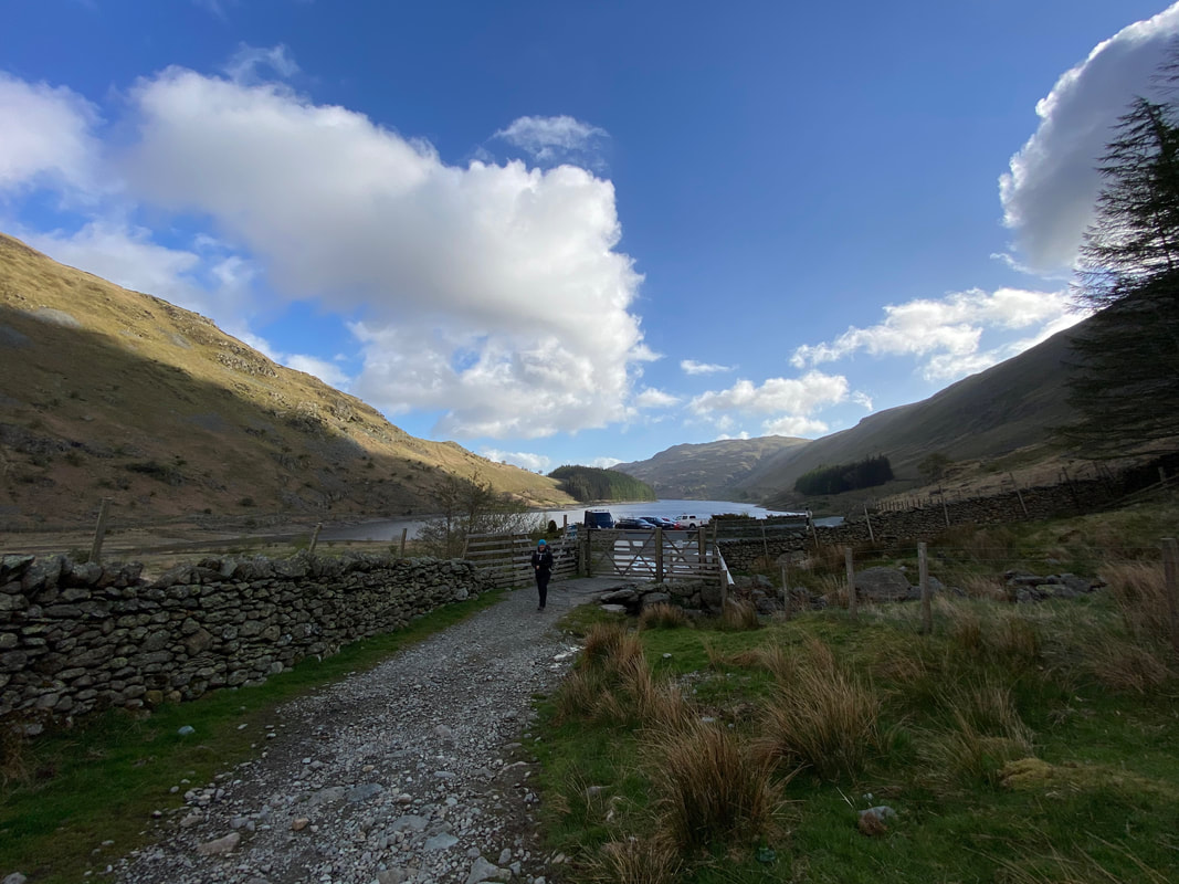
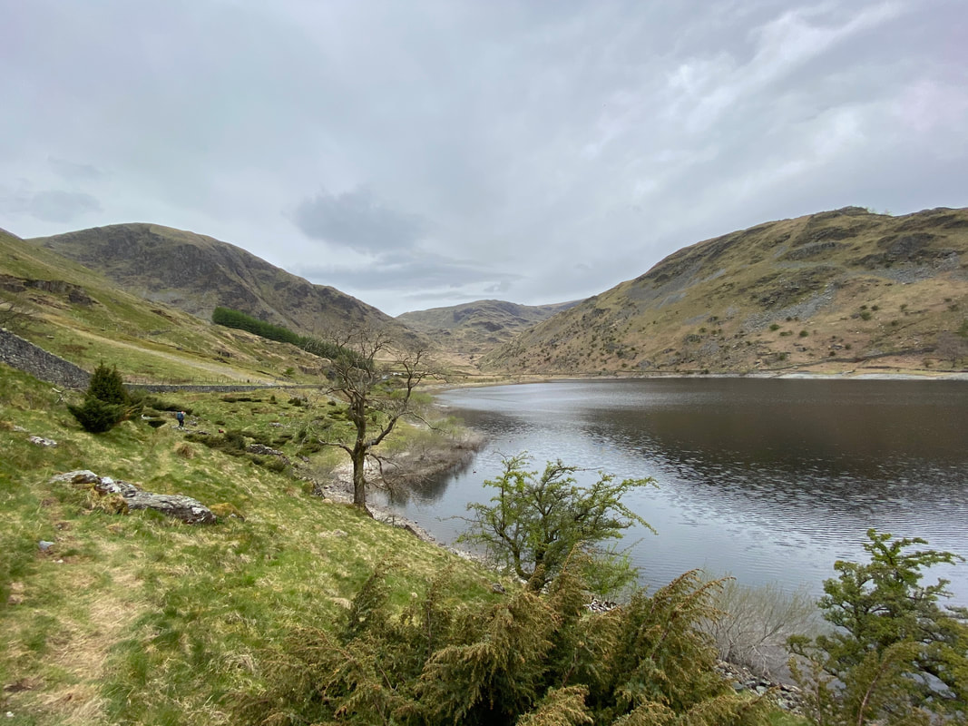
Haweswater from the gate out of the Car Park - Brown Howe, which would be our last climb for today is in the background.
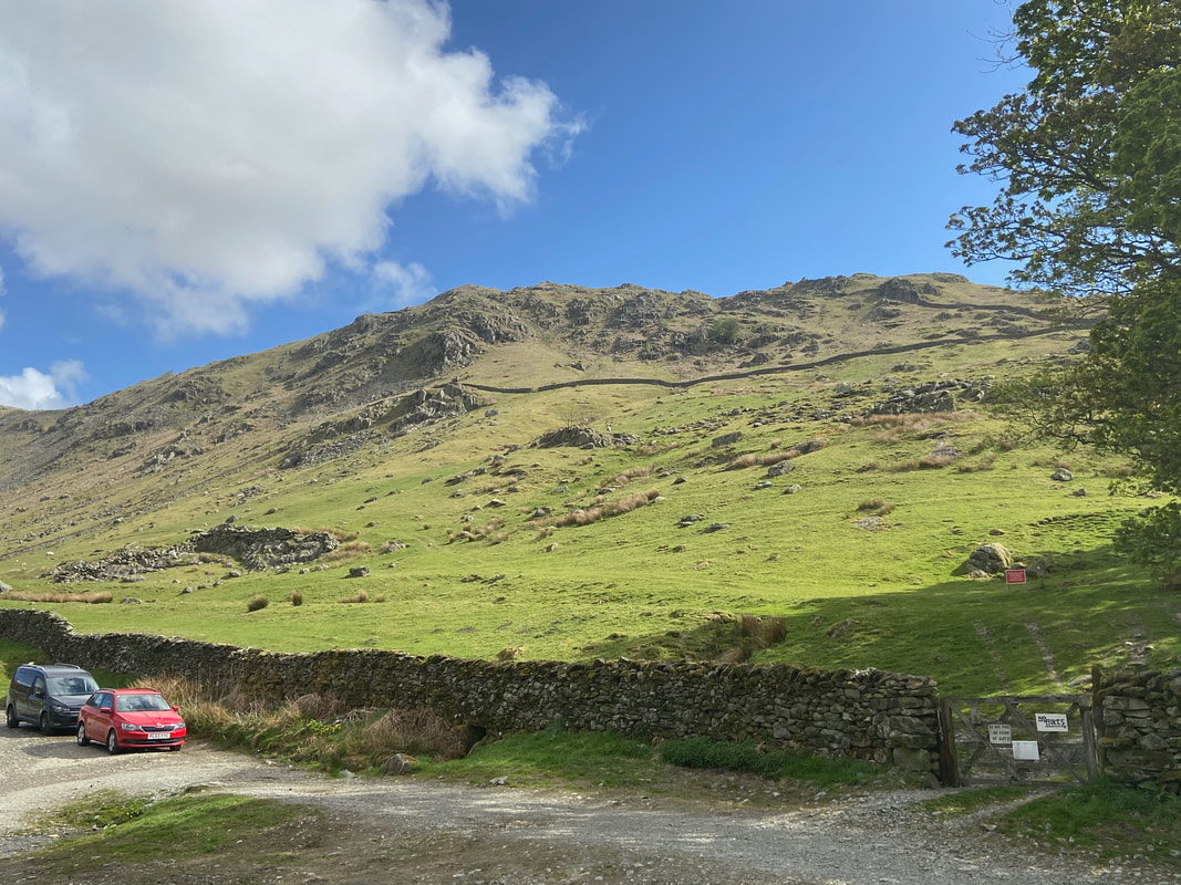
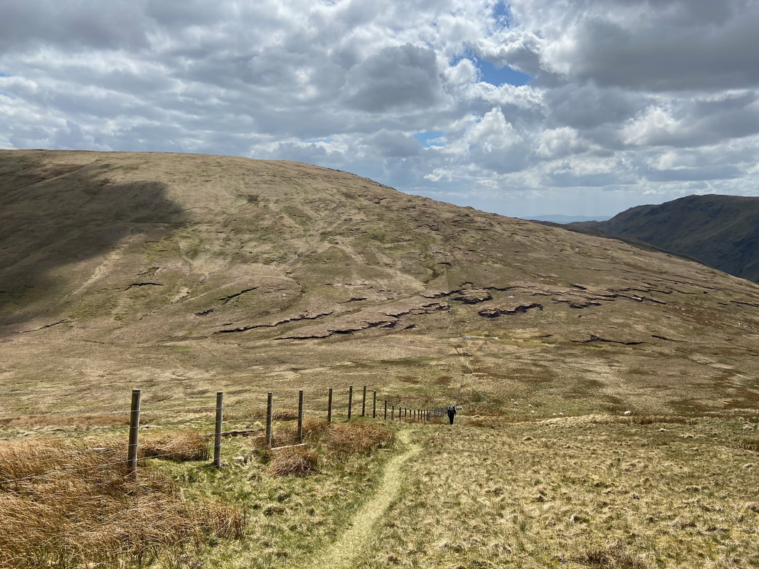
Three options from the Car Park - we were off up the Gatescarth Pass today. The pass runs from Mardale Head all the way to Sadgill and we would be making a transit of its full length today.
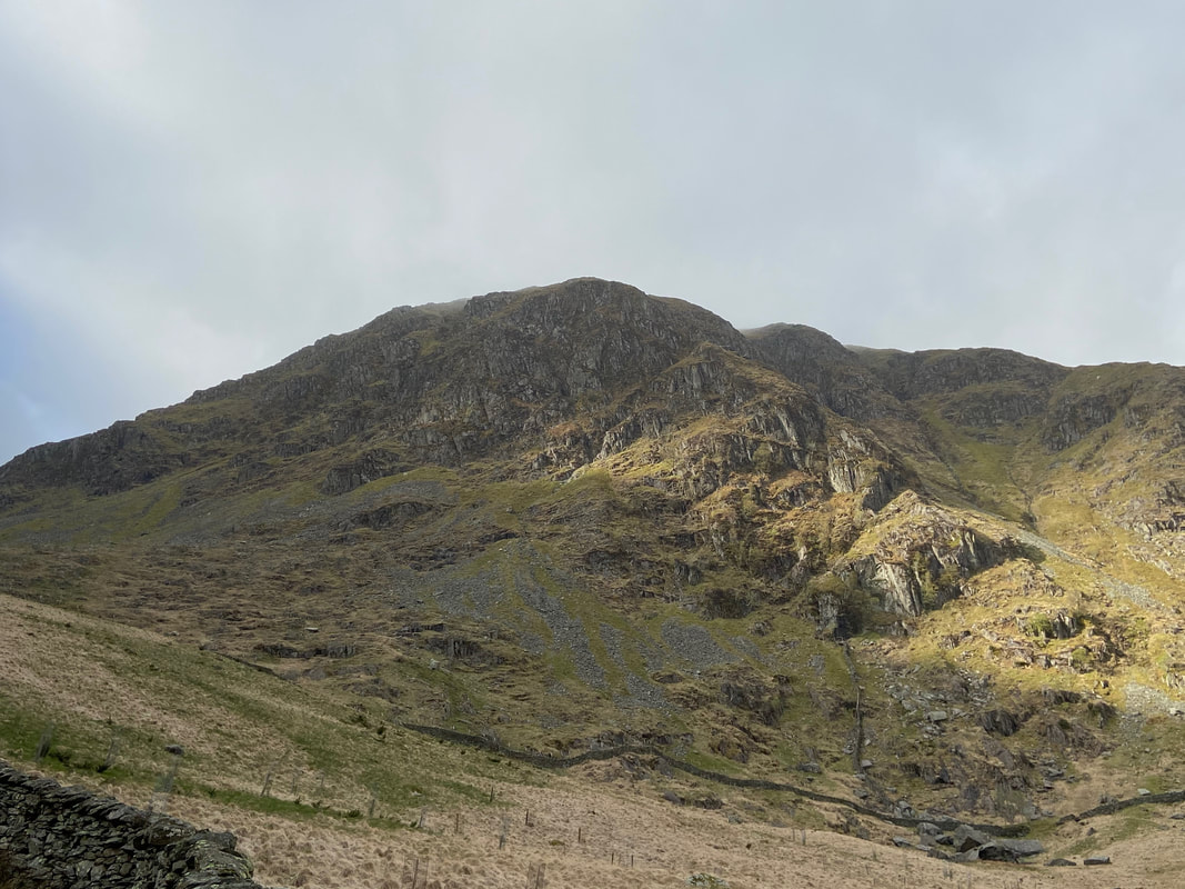
Harter Fell rises up to the right as we make our ascent up the Gatescarth Pass
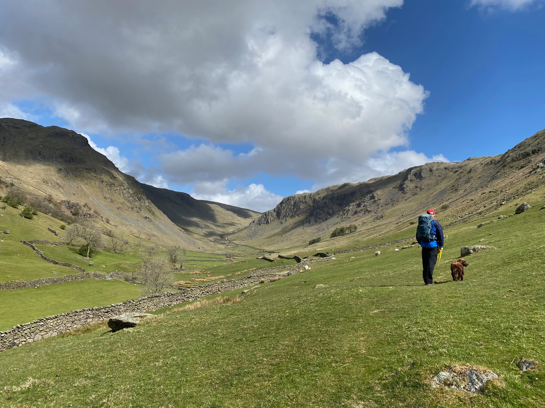
Heading up the Gatescarth Pass with the ridge of Rough Crag & Long Stile to the left. The ridge is an excellent route up onto High Street and is one we have done many times.
Yes Fudge it is that way - time to do some climbing.
Another view down the Gatescarth Pass to the Far Eastern Fells as we continue to climb
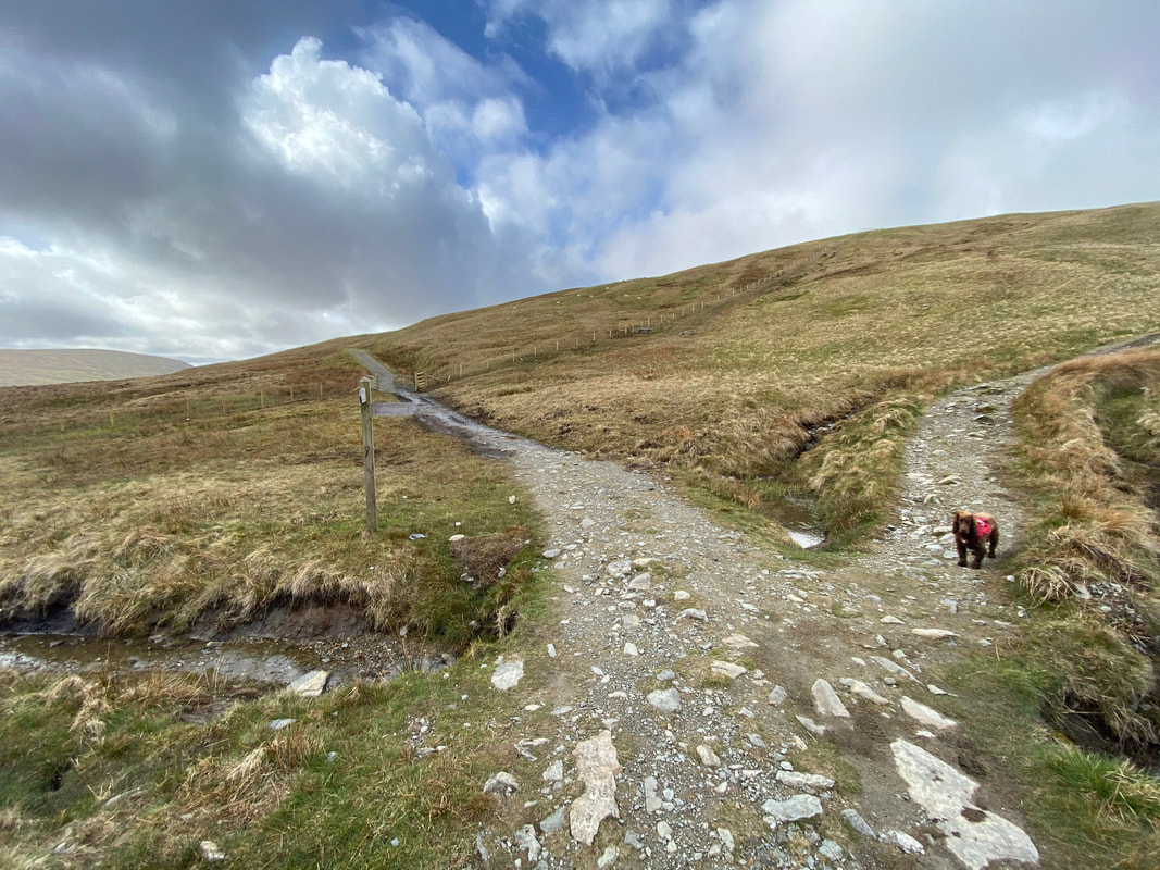
The top of the Gatescarth Pass. Every time we reach a path junction Fudge always stops to check which way we are going. I only have to point the way and he's off. Here he is hedging his bets thinking that maybe we are off to Adam Seat & Harter Fell - we were in fact going straight on.
The fence line that leads up to Branstree - we would be off up there later but via the ridge to the right.
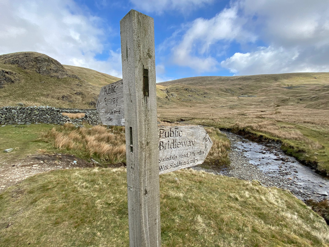
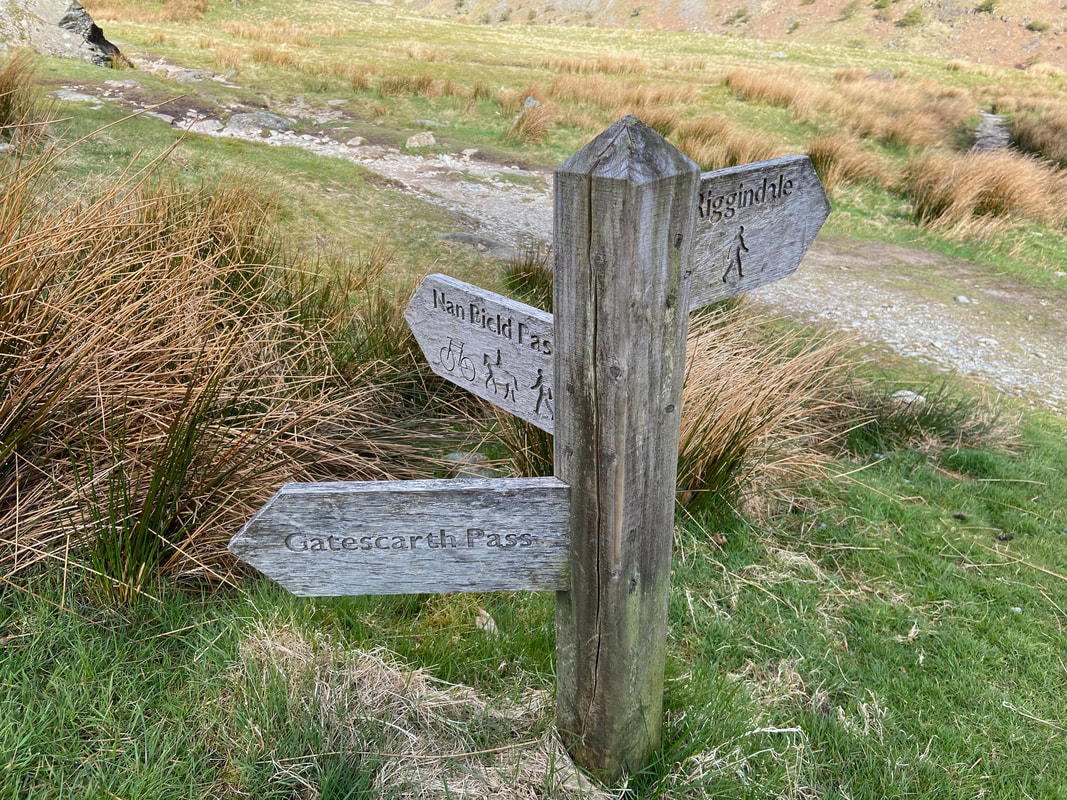
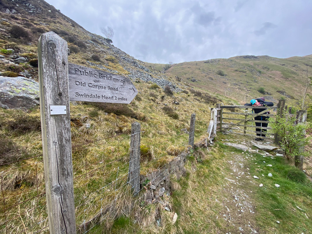
Two miles in and we reach another path junction - a left turn here leads to the delightful and rarely visited valley of Swindale Head.

The bridge over Wren Gill in Longsleddale
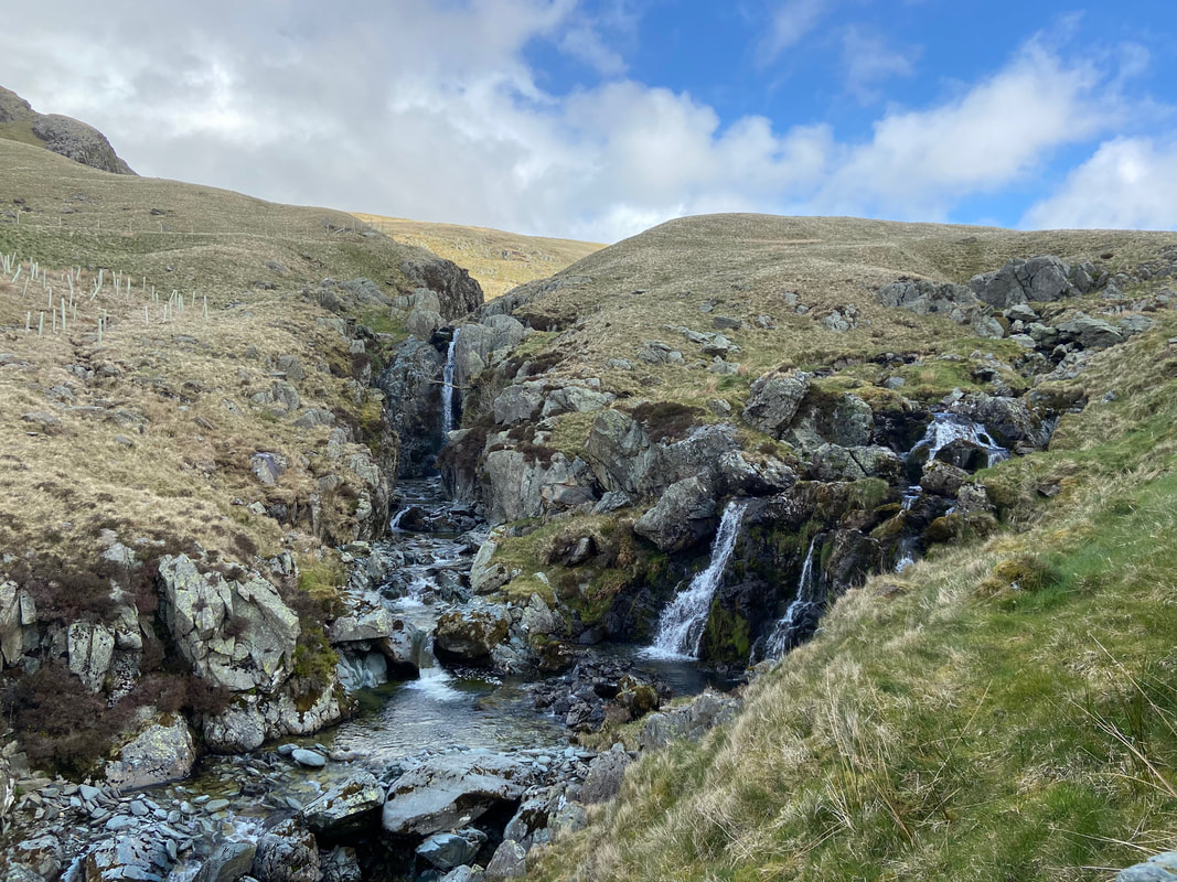
Waterfalls flowing into the River Sprint
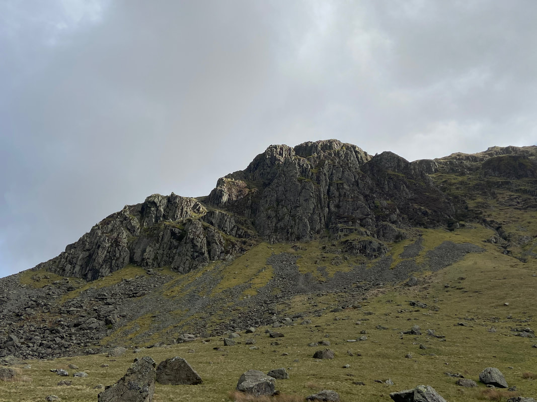
Buckbarrow Crag
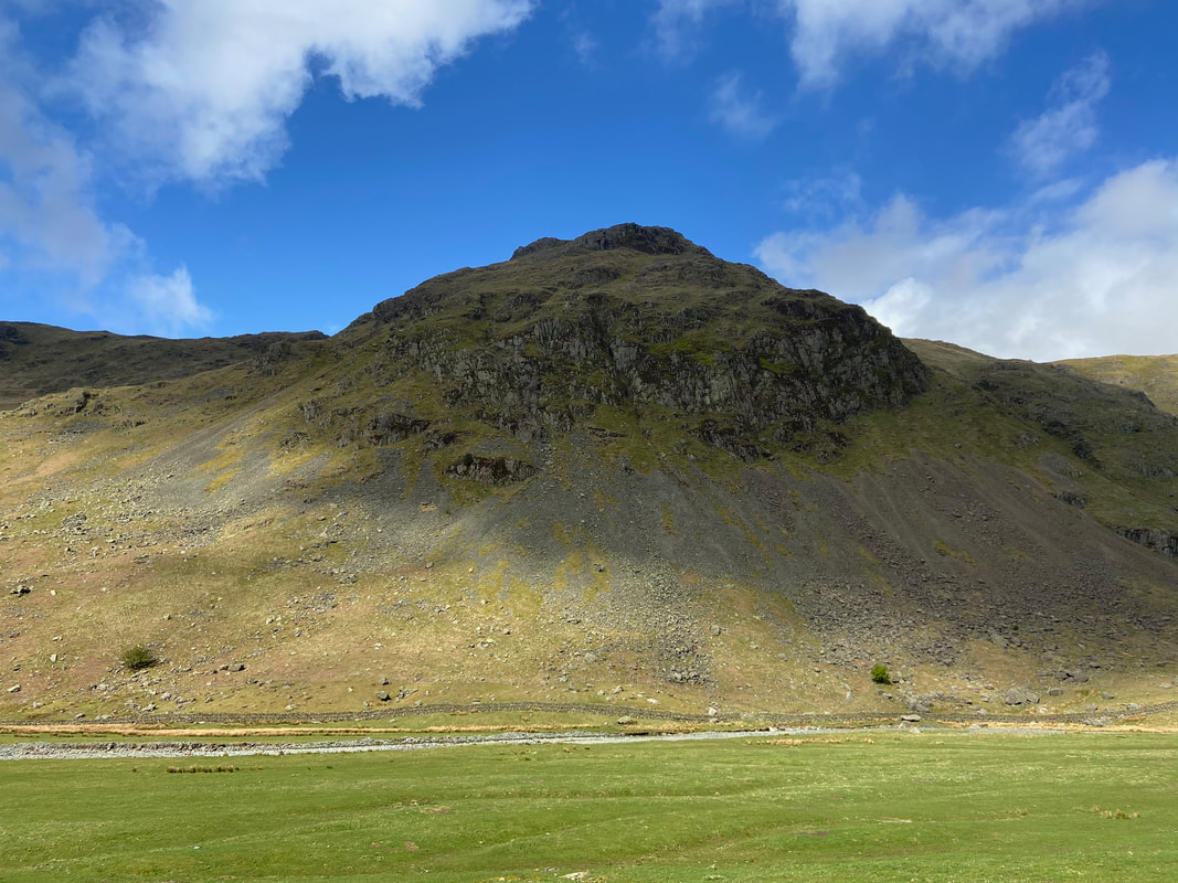
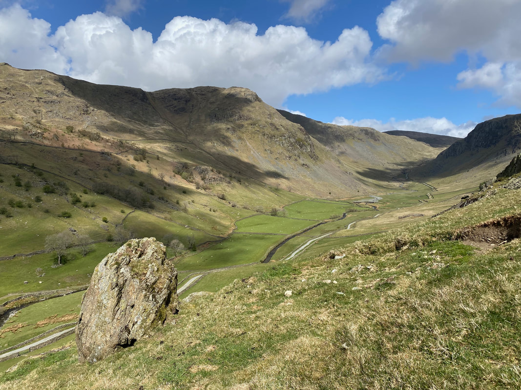
Goat Scar. Rarely visited unless one is walking the Kentmere Horseshoe and even then it's my guess people don't bother making the short detour to visit this lovely summit. It gives a superb view down Longsleddale and up the Gatescarth Pass.
Looking back up Longsleddale from near Sadgill
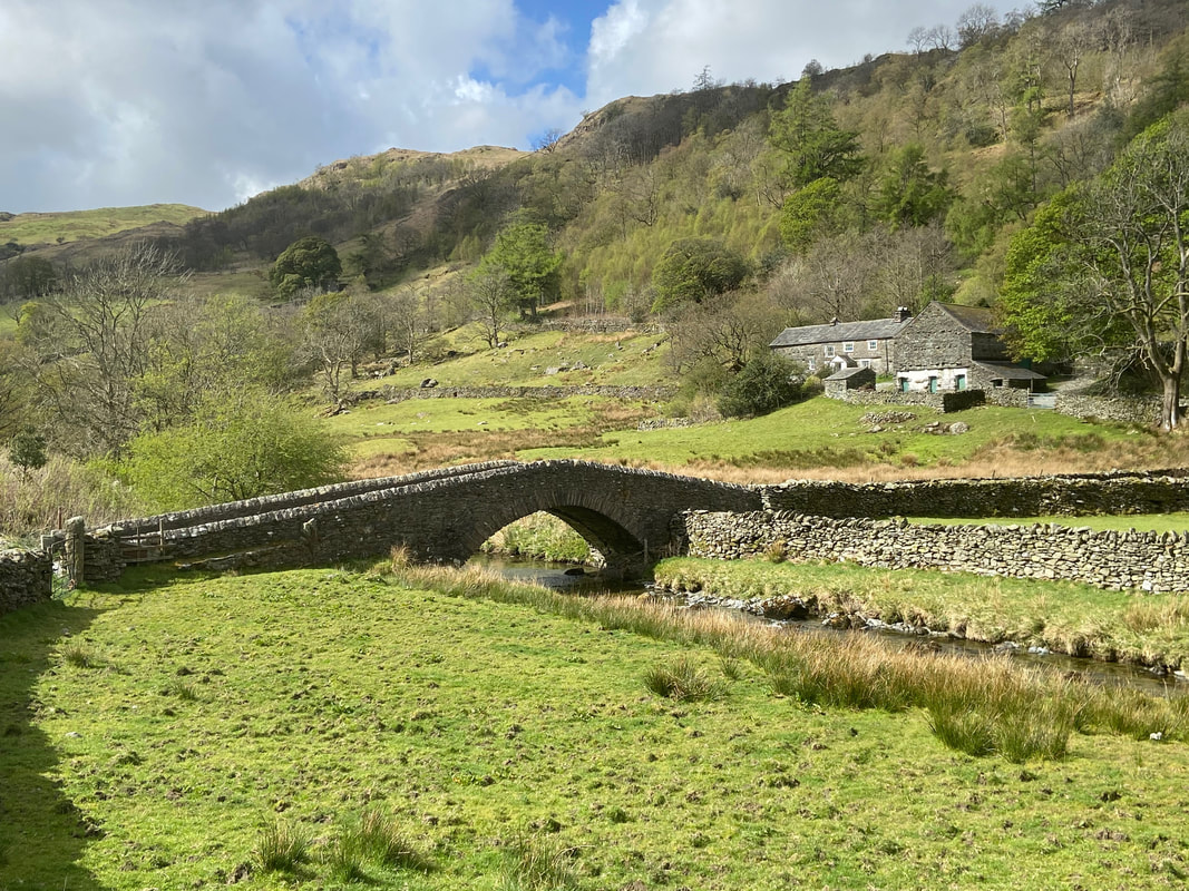
The bridge & farm at the tiny hamlet of Sadgill
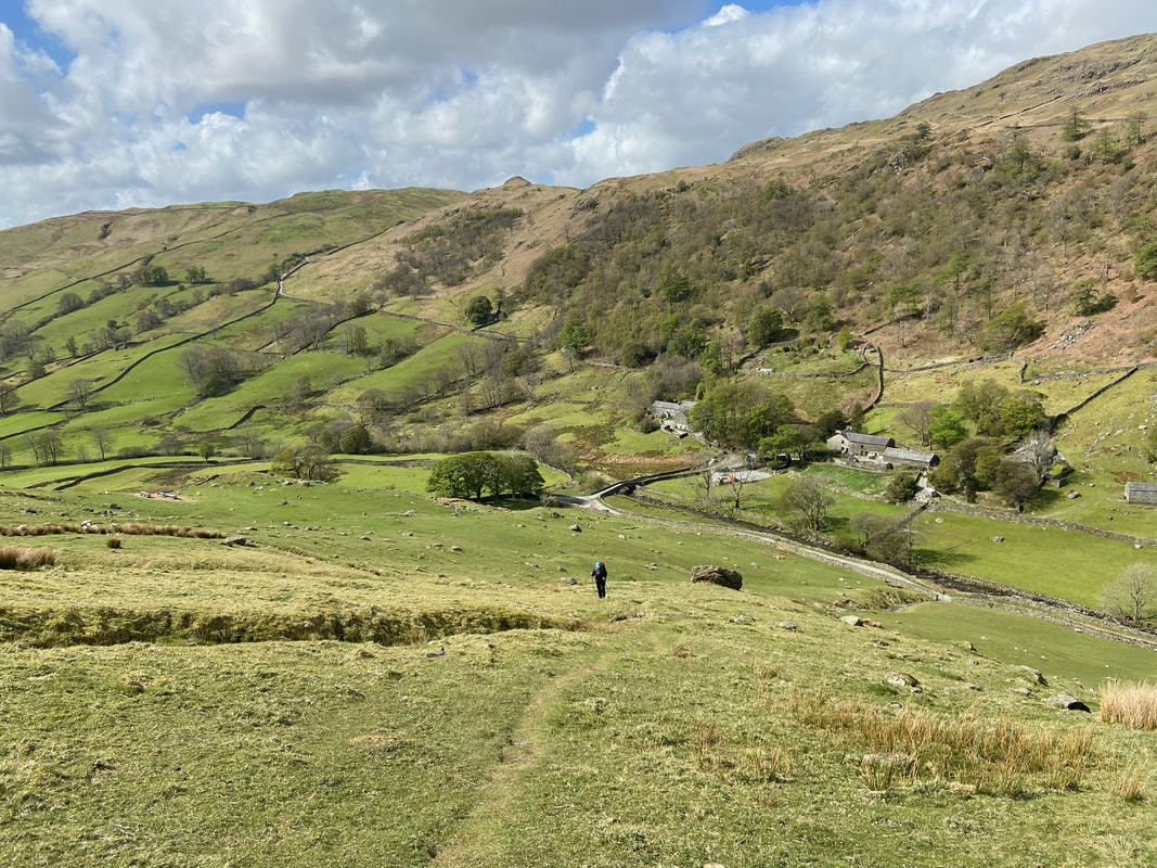
Sadgill and its extremely limited parking - this is the normal start point for an ascent of Grey Crag & Tarn Crag.
The start of our ascent to Great Howe Crag from Sadgill. The path makes its way up the fell side to join the wall which can be seen ahead.
Whilst he is not remotely interested in sheep and has excellent recall, Fudge goes on the lead as we start the climb from Sadgill.
Longsleddale with Goat Scar prominent on the left as we climb to Great Howe
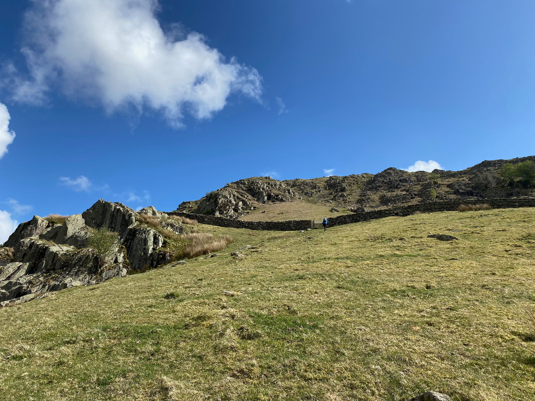
The path reaches a wall below the lower slopes of Great Howe & passes through a gate. From the gate the route heads up a stony rake.
The view from the gate back to Sadgill and our ascent.
Another cracking view down Longsleddale over to Goat Scar this time with Shipman Knotts in view to the centre left

The ascent up the stony rake leading to Great Howe
The lower of the two survey pillars on Great Howe. The survey pillars were built to aid the construction of the Longsleddale Tunnel conveying the Haweswater Aqueduct south. The lower pillar is not readily visible from the ascent of Great Howe however it can be found at Grid Ref NY 49054 06152.

Fudge and I heading over to Great Howe's summit from the lower survey pillar
The upper survey pillar on Great Howe. The pillar is only a few yards from the summit and can be found at Grid Ref NY49008 06423.
Heading for Grey Crag from Great Howe - a tad squelchy but nothing that can't easily be avoided.
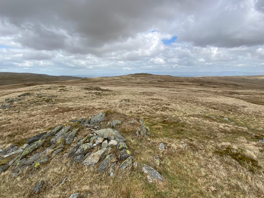
The summit of Grey Crag looking to Harrop Pike
The summit of Harrop Pike - certainly worth the short detour from the Grey Crag/Tarn Crag path
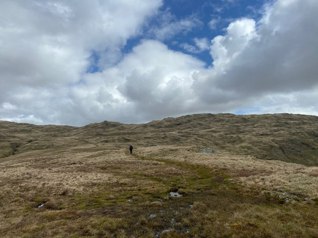
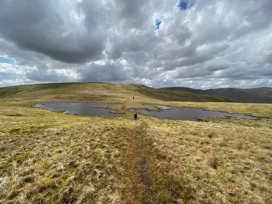
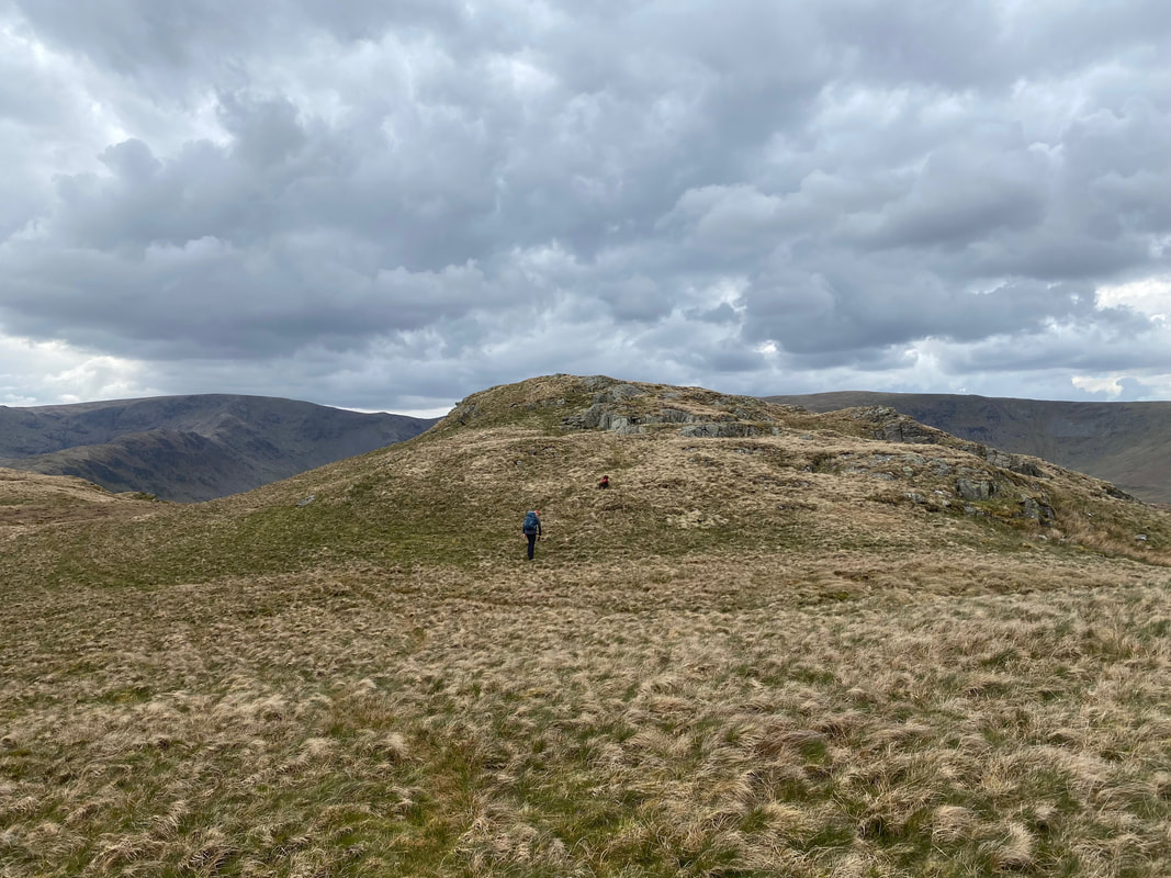
Heading to Tarn Crag from Harrop Pike. From the fence line ahead, there are several paths to the summit of Tarn Crag which is roughly centre of shot. We headed across the slope from right to left although as can be seen there is a path straight up the fence line to the ridge.
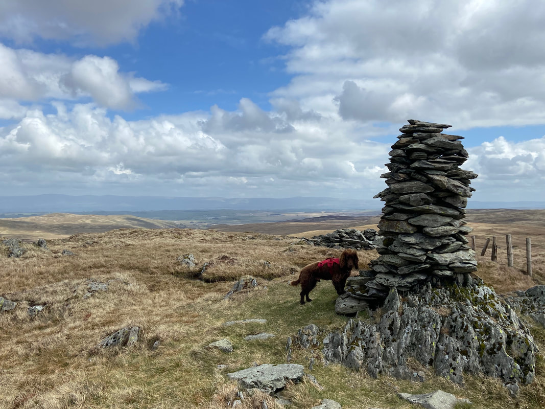
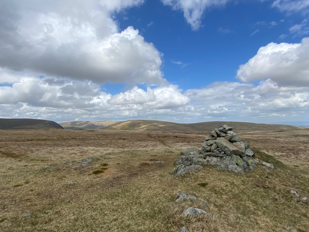
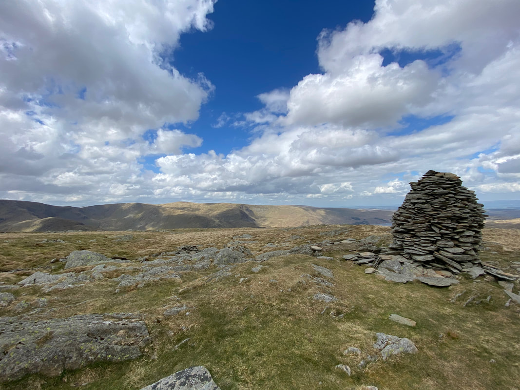
The survey pillar on the summit plateau of Tarn Crag complete with its very own tarn. The summit lies a 100 yards to the east.
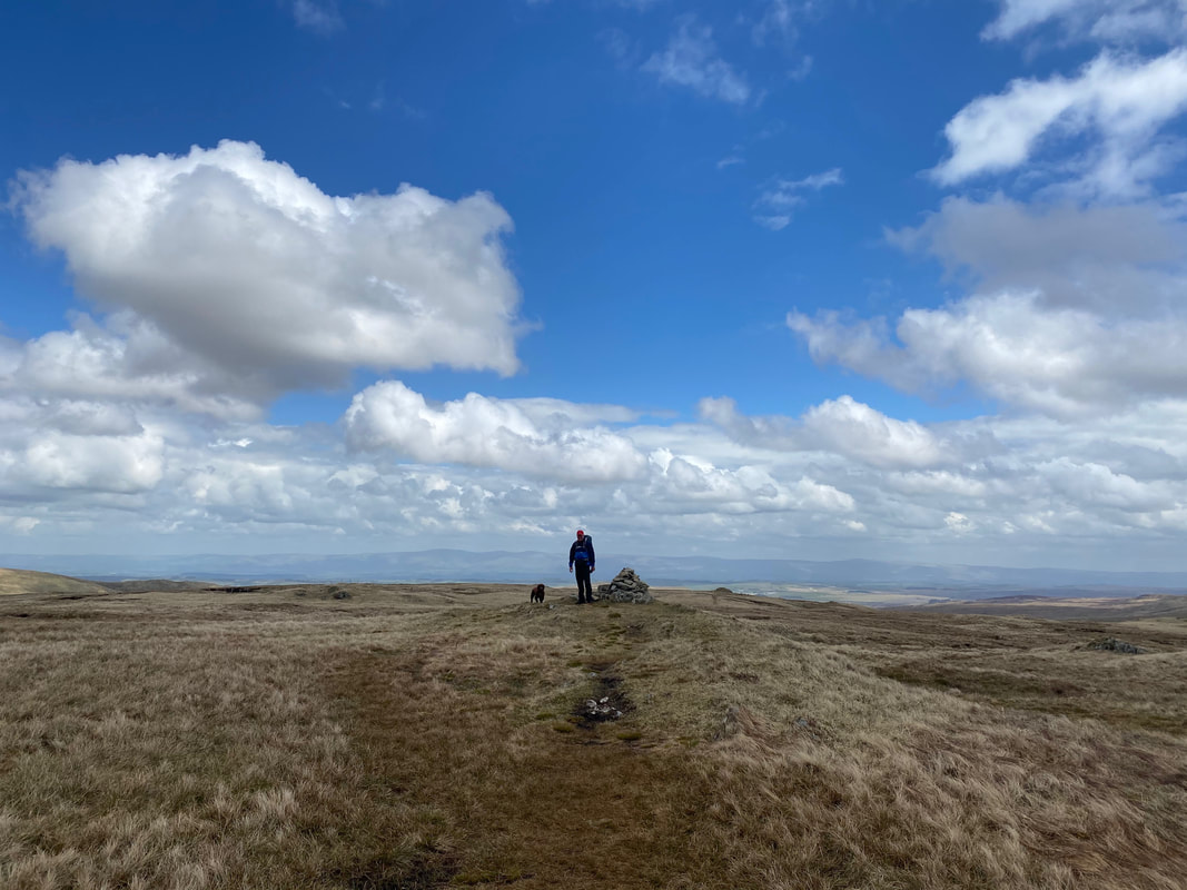
The summit of Tarn Crag
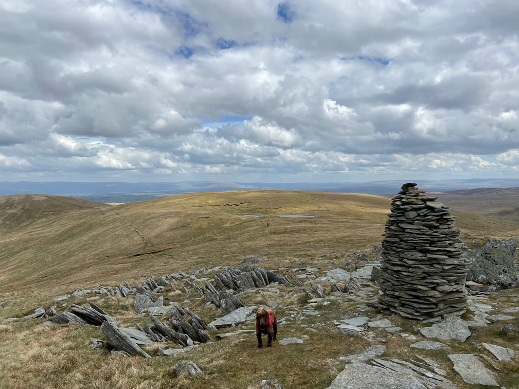
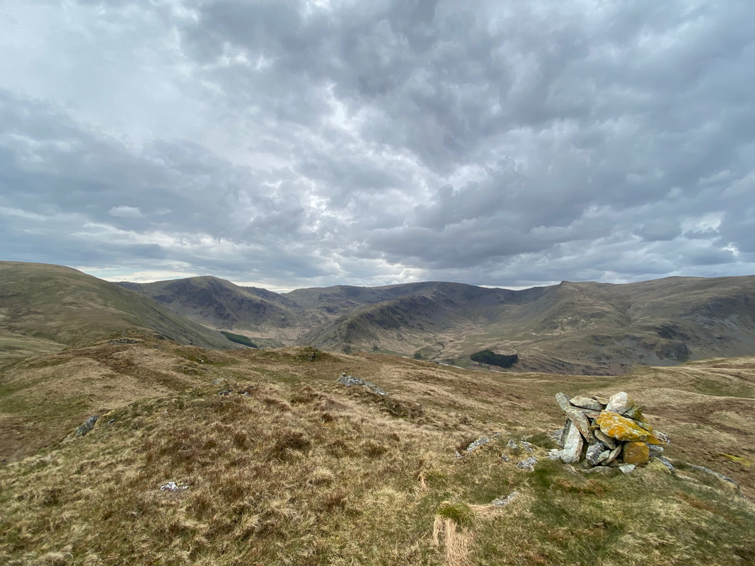
The summit of Tarn Crag and our onward route to Branstree
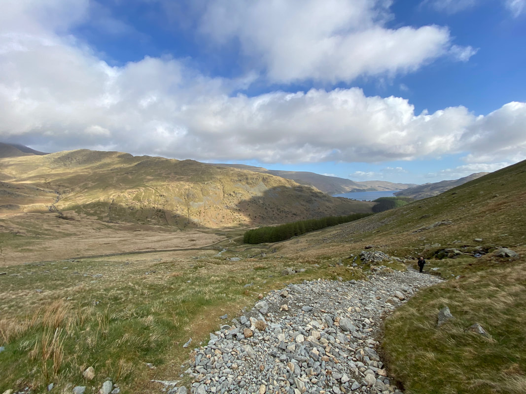
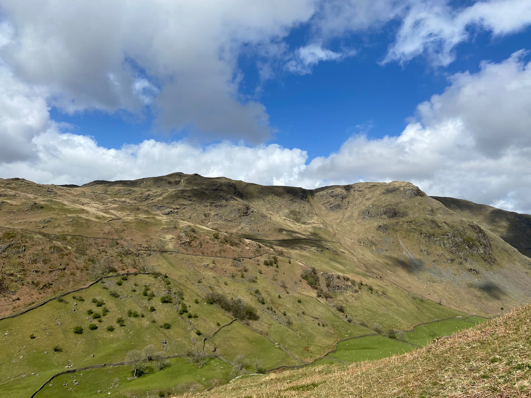
Crossing the fence line between Tarn Crag & Branstree with The Knowe & Harter Fell distant and Adam Seat & Little Harter Fell to the right. Our path into Longsleddale can be seen descending to the right with the disused Wrengill Quarry centre - these workings are part of the Westmorland Green Slate belt that stretches from the Duddon Valley in the south west to Mosedale in the north east.
Looking into Mosedale with Mosedale Cottage just about visible in the centre. The cottage is a bothy and is administered by the Mountain Bothies Association.
"Enough of this photography malarkey - are we climbing up Branstree or what?"
Yes we are Fudge - and here we are making the short, steep descent up to Branstree's summit plateau.
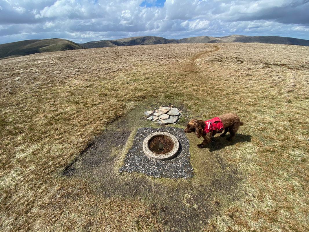
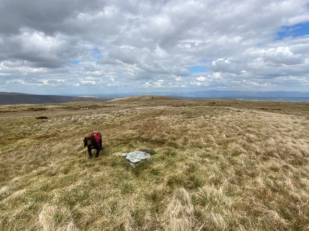
The small cairn and circular Trigonometrical Station Ring on the summit of Branstree. The true summit & watershed lie a few yards away but both that and the Trig are the same height at 2339ft. Fudge is contemplating whether this is an extra large dog water bowl.
Fudge sat on the unmarked true summit of Branstree which as Wainwright stated "lies 80 yards north of the end of the wall" (Branstree 6). Fudge just about tolerates our attempts to show the true summit on unmarked tops - he does get a reward for his trouble.
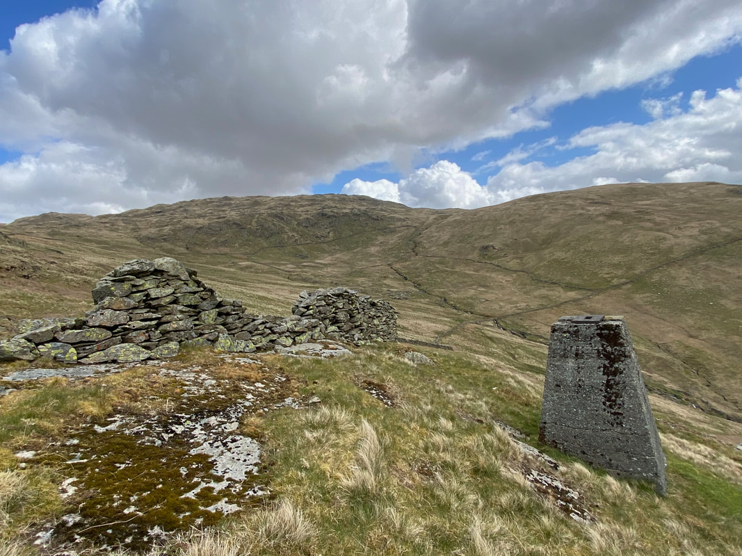
300 yards or so from Branstree is Artlecrag Pike which has two large cairns within 30 yards of each other - this is the upper cairn.........
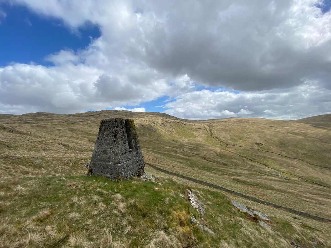
......... and here is the lower cairn. We were now off to High Howes (Branstree NE Top) which can be seen beyond the two tarns in the distance. The small structure in the centre of shot is another Survey Pillar.
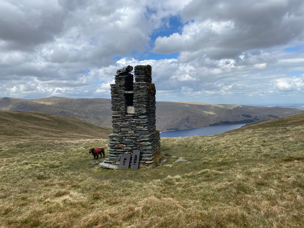
The survey pillar below High Howes complete with metal plates which have become detached from the main structure
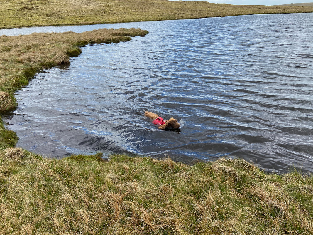
As always, a break in proceedings gives Fudge the opportunity for a few laps of the tarn
Heading for High Howes with Artlecrag Pike & Branstree to the rear
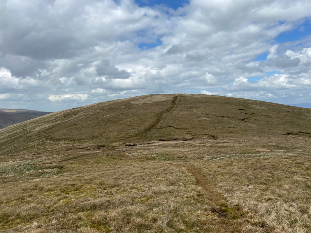
The summit of High Howes (Branstree NE Top). Our next summit of Selside Pike is in the distance.
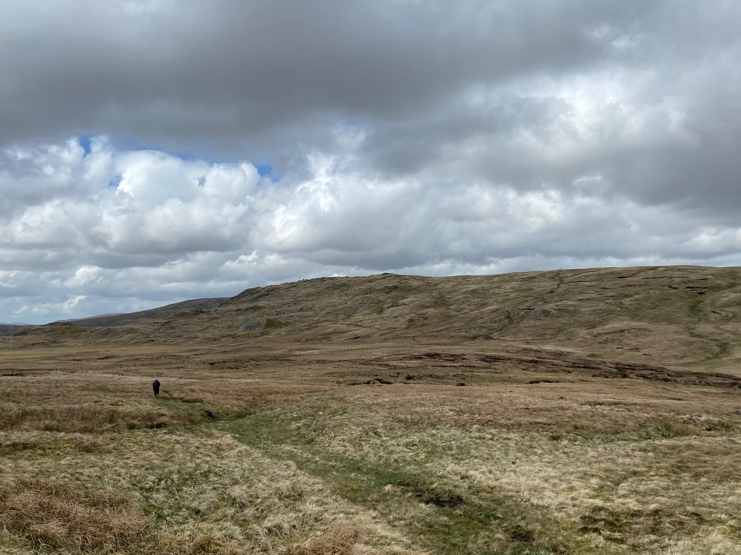
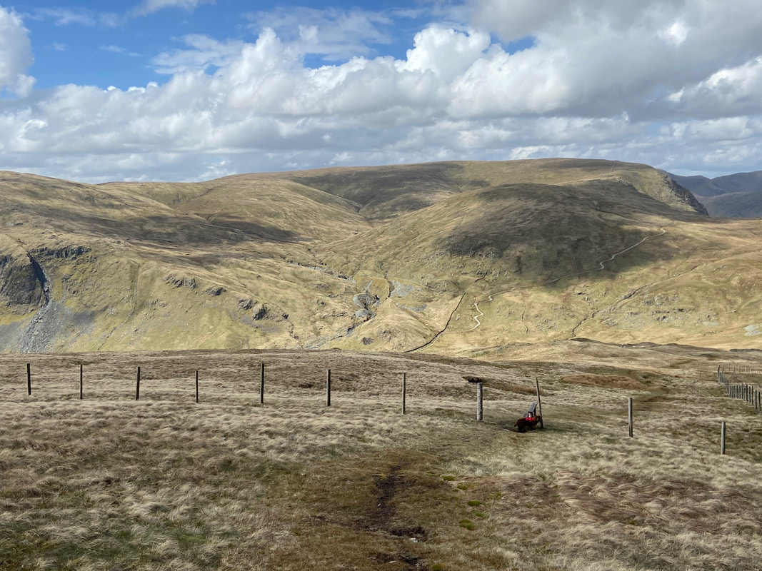
Crossing Captain Whelter Bog to then cross the fence and climb up to Selside Pike
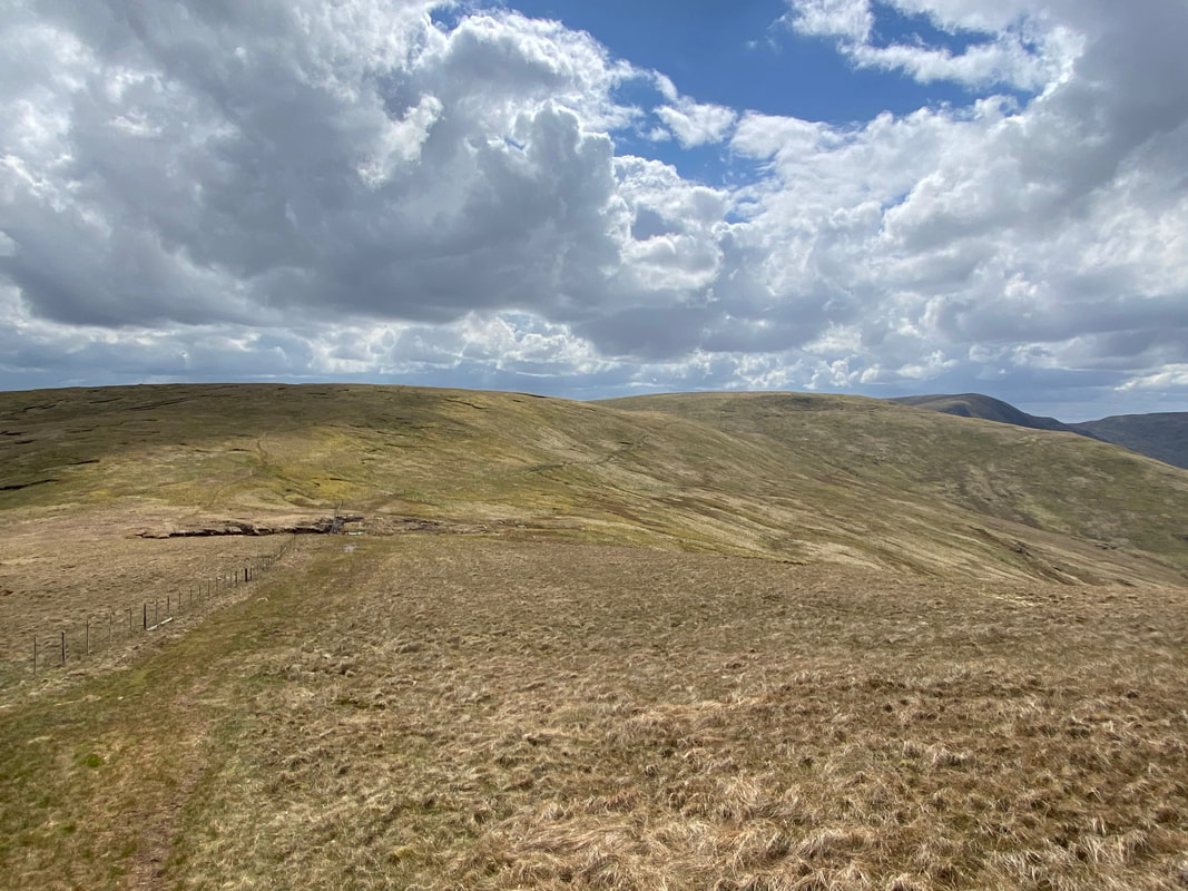
High Howes, Captain Whelter Bog & Branstree from the ascent to Selside Pike
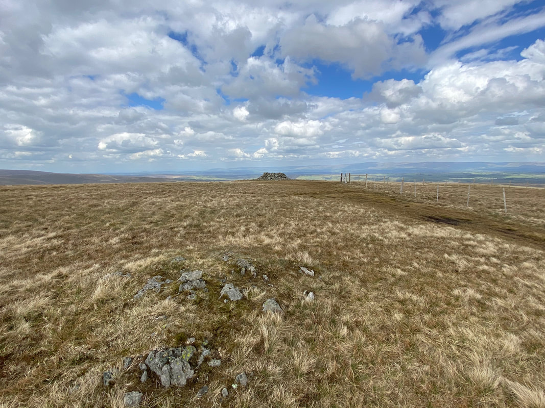
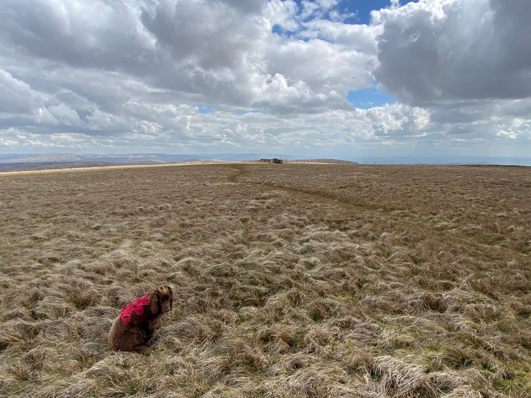
The summit of Selside Pike
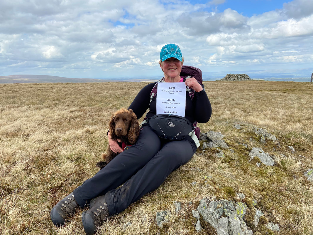
Time to celebrate on Selside Pike - our 30th Wedding Anniversary and for the 3 of us the completion of our 2nd Round of the 214 Wainwright Summits. Fudge as usual looks totally nonplussed and is clearly wondering when will it be time for his tea.
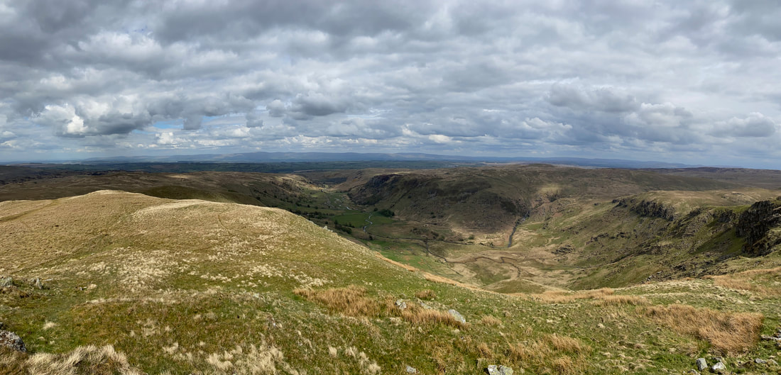
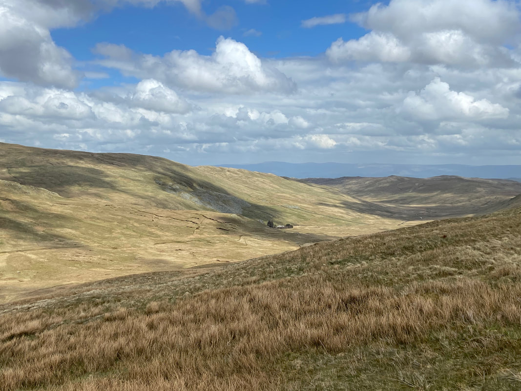
A panorama of the head of Swindale
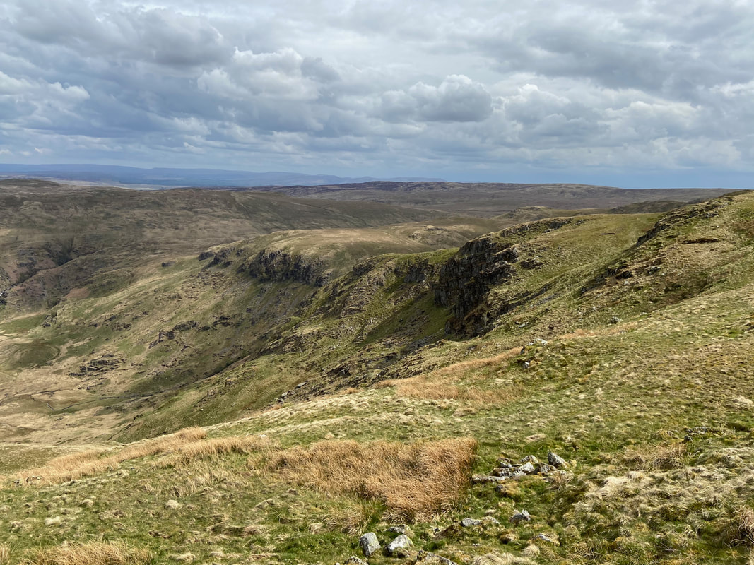
Looking to Black Bells, Geordie Greathead Crag & Nabs Crag
From Selside Pike we dropped down to the Old Corpse Road to then make a detour to climb Brown Howe. The Corpse Road is so named because for many years before the construction of Haweswater Reservoir the former village of Mardale Green buried its dead in the village of Shap. The route crossed from Mardale into Swindale and then onward to reach the village of Shap. Apparently the last such journey was made by John Holme of Brackenhow on 17 June 1736, by which time the right of burial had been granted to the Holy Trinity church in Mardale Green. When, by 1936, the plans to raise Haweswater and submerge Mardale Green were finalised, the 100 or so burials made at Holy Trinity were disinterred and reburied at Shap.
The summit of Brown Howe looking over to High Street & Riggindale
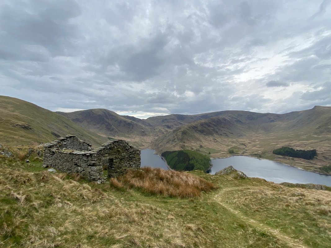
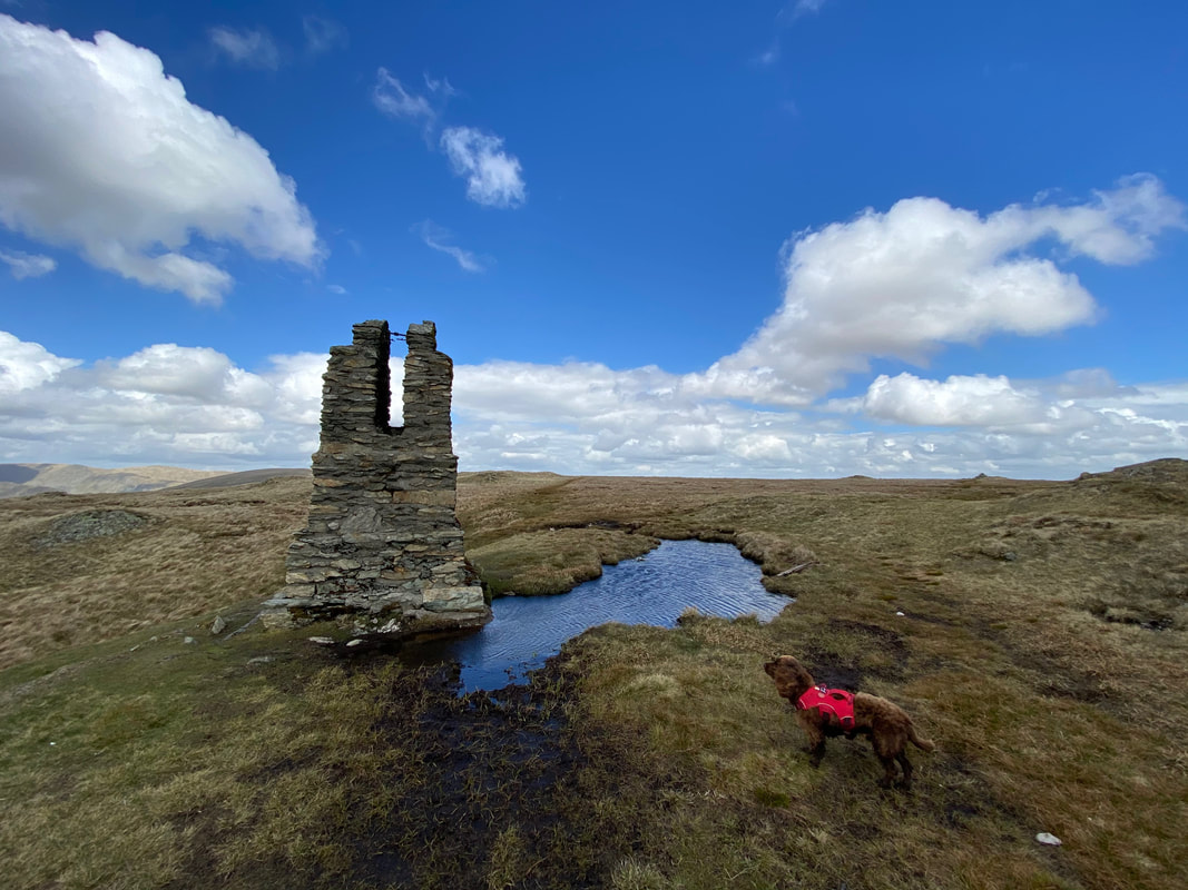
One of the two ruined peat huts that sit above Haweswater.........
.......... and here is the other. The small promontory jutting out into the reservoir on the left is Speaking Crag. The pointed peak to the left is Kidsty Pike.
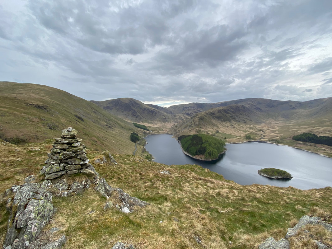
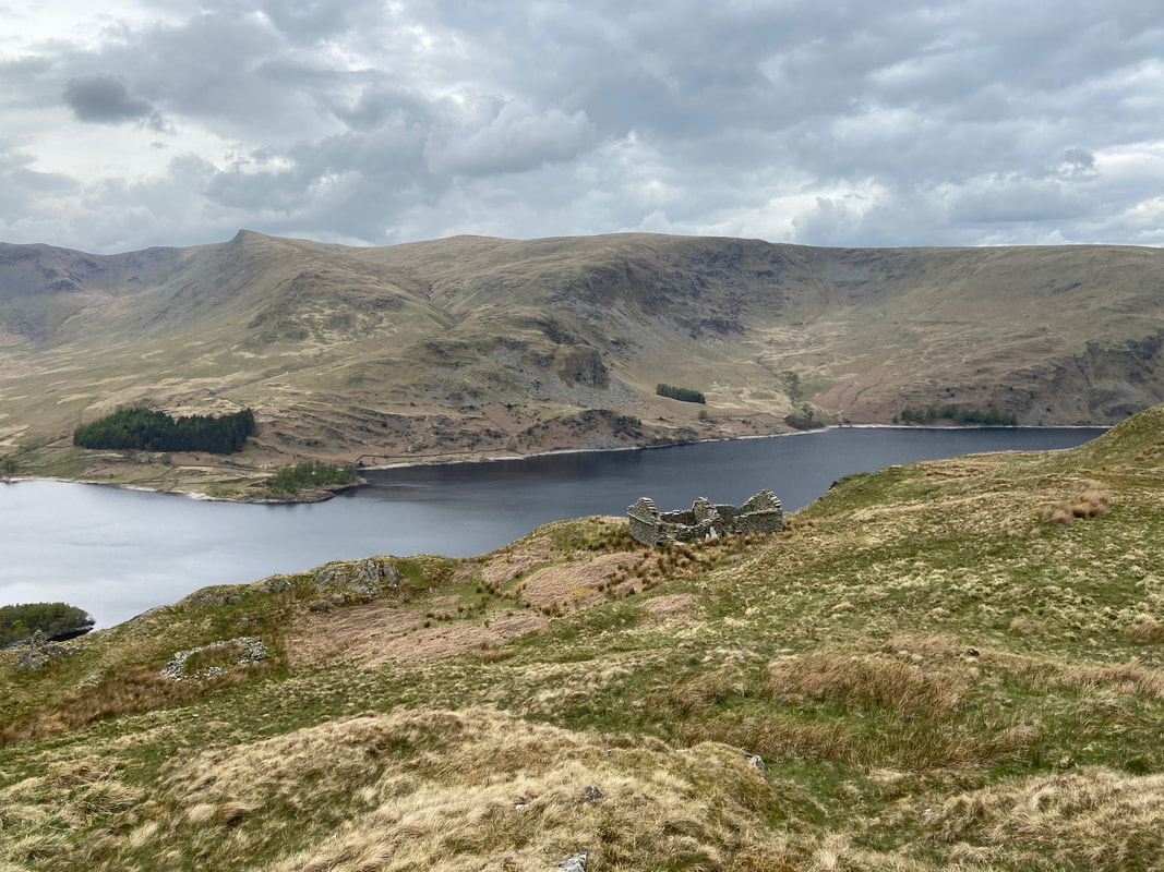
Just below the first peat hut is this cairn which gives a fantastic view to Haweswater although by now the conditions had become very overcast. The thick wooded peninsula is known as The Rigg with the island of Wood Howe to the right.
Hopefully Angie isn't going to expire as we reach the road at the bottom of the Old Corpse Road
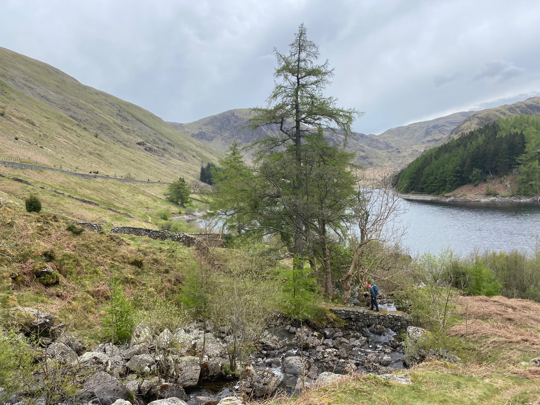
Crossing the confluence of Rowantreethwaite Beck & Hopgill Beck as we head along the lakeshore path back to Mardale Head
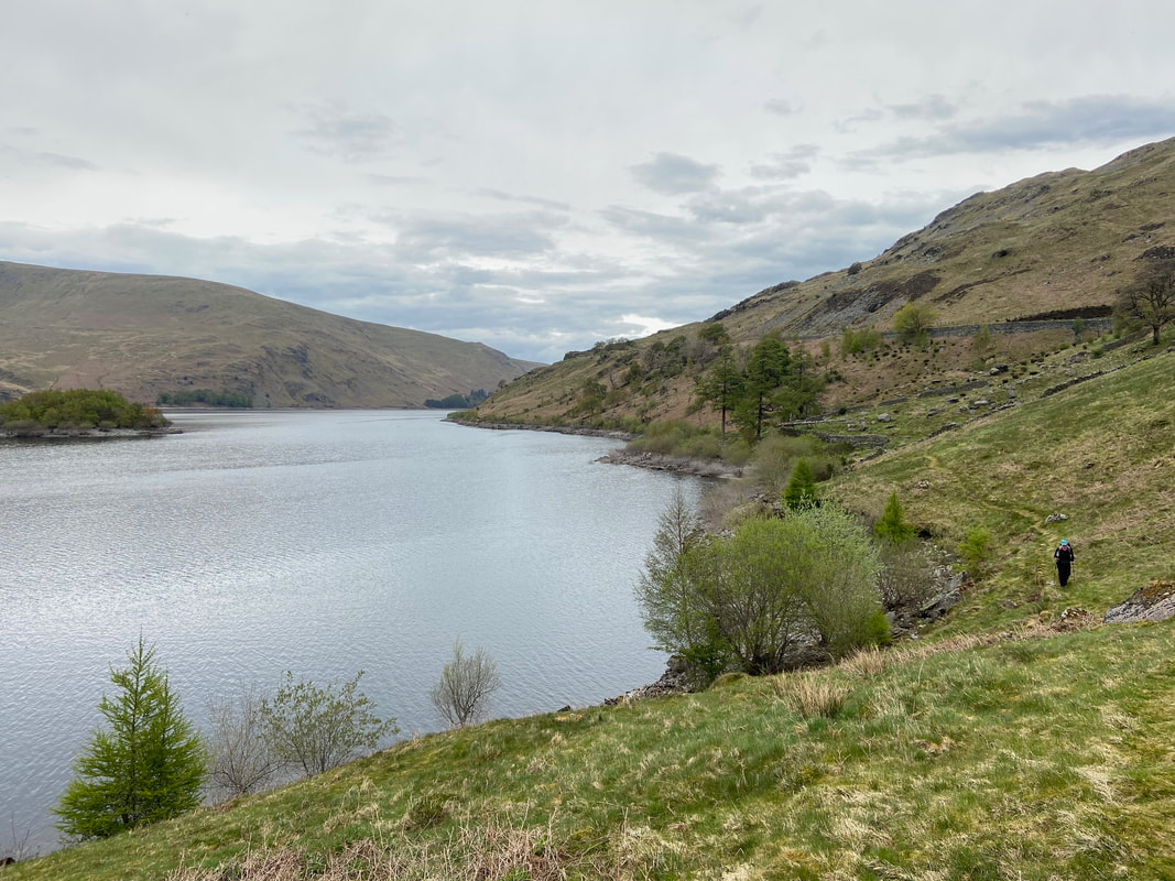
Haweswater & The Rigg from the lakeshore path
The culmination of a cracking walk as we near the finish. On completion we were off to the well renowned Shap Chippy for our tea. Little did we know but it is closed on a Tuesday - never mind, this was a fantastic walk all the same.