Ullscarf, Armboth Fell, High Tove, High Seat, Bleaberry Fell & Walla Crag - Friday 25 March 2022
Route
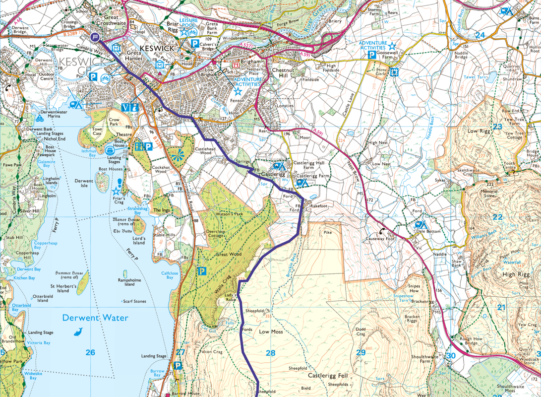
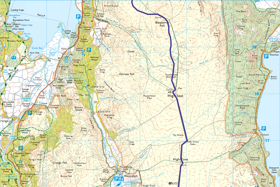
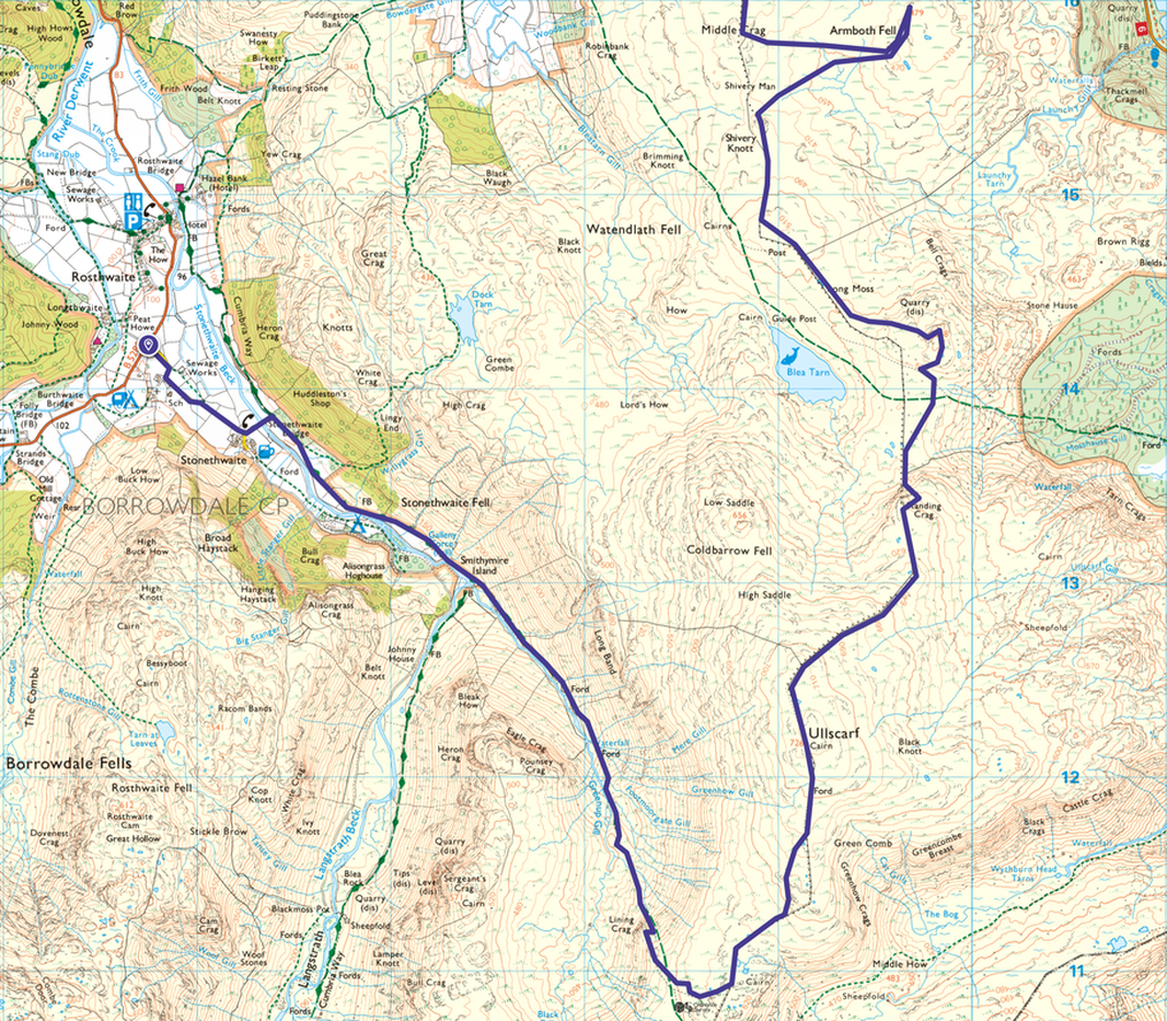
Stonethwaite - Stonethwaite Bridge - Smithymire Island - Lining Crag - Greenup Edge - Ullscarf - Standing Crag - Long Moss - Bell Crags - Shivery Knott - Armboth Fell - Middle Crag - High Tove - Eddy Grave Stake - High Seat - Threefooted Brandreth - Bleaberry Fell - Walla Crag - Rakefoot - Springs Wood - Springs Lane - Keswick
Parking
Plenty of parking in Keswick both free & Pay & Display. With this being a linear walk, we parked on High Hill in Keswick and caught the bus to Stonethwaite. To get to Stonethwaite catch the 77 or 78 from the Bus Station outside Booths in Keswick. The bus drops you off on the B5289 at the top of Stonethwaite Village.
Mileage
16 miles
Terrain
A mixture of valley tracks and mountain paths with some pathless terrain on the section between Ullscarf & Bleaberry Fell.
Weather
Gloriously sunny with light breezes.
Time Taken
9hrs
Total Ascent
3172ft (967m)
Wainwrights
6
Map
OL4 - The English Lakes (North Western Area)
Walkers
Dave, Angie & Fudge
|
GPX File
|
| ||
If the above GPX file fails to download or presents itself as an XML file once downloaded then please feel free to contact me and I will send you the GPX file via e-mail.
Route Map - route reads from the bottom map up
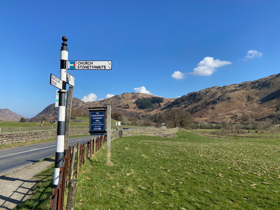
Today's walk was linear as we caught the Borrowdale Rambler bus from Keswick which dropped us off on the B5289 at the top of the road leading into Stonethwaite Village.
High Spy from the road into Stonethwaite
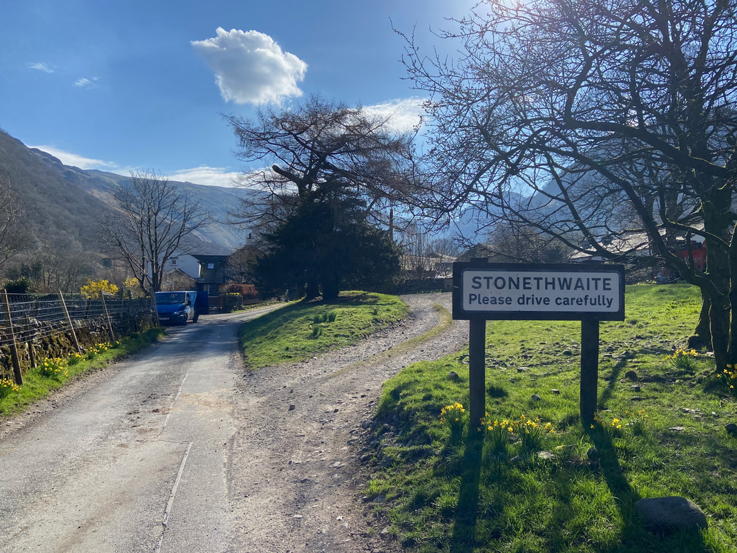
From the Bus Stop on the B5289 the route travels south east along a quiet lane to enter the village
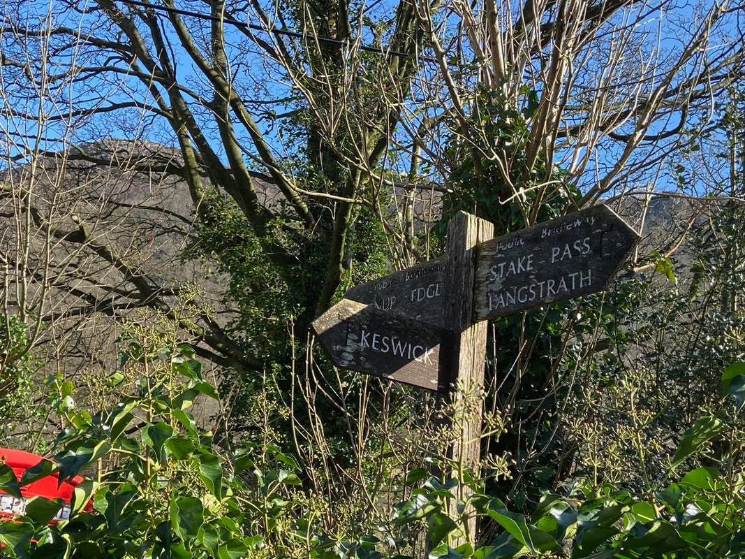
We would be heading on the path to Greenup Edge
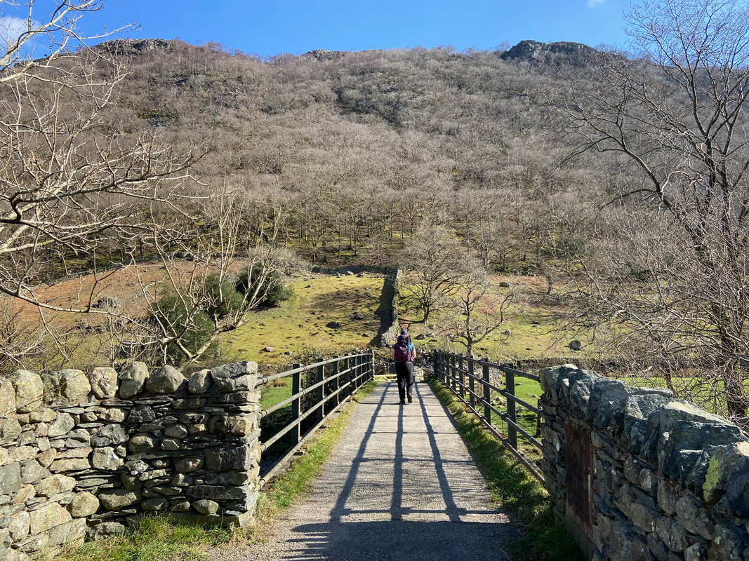
Crossing Stonethwaite Beck via the bridge of the same name
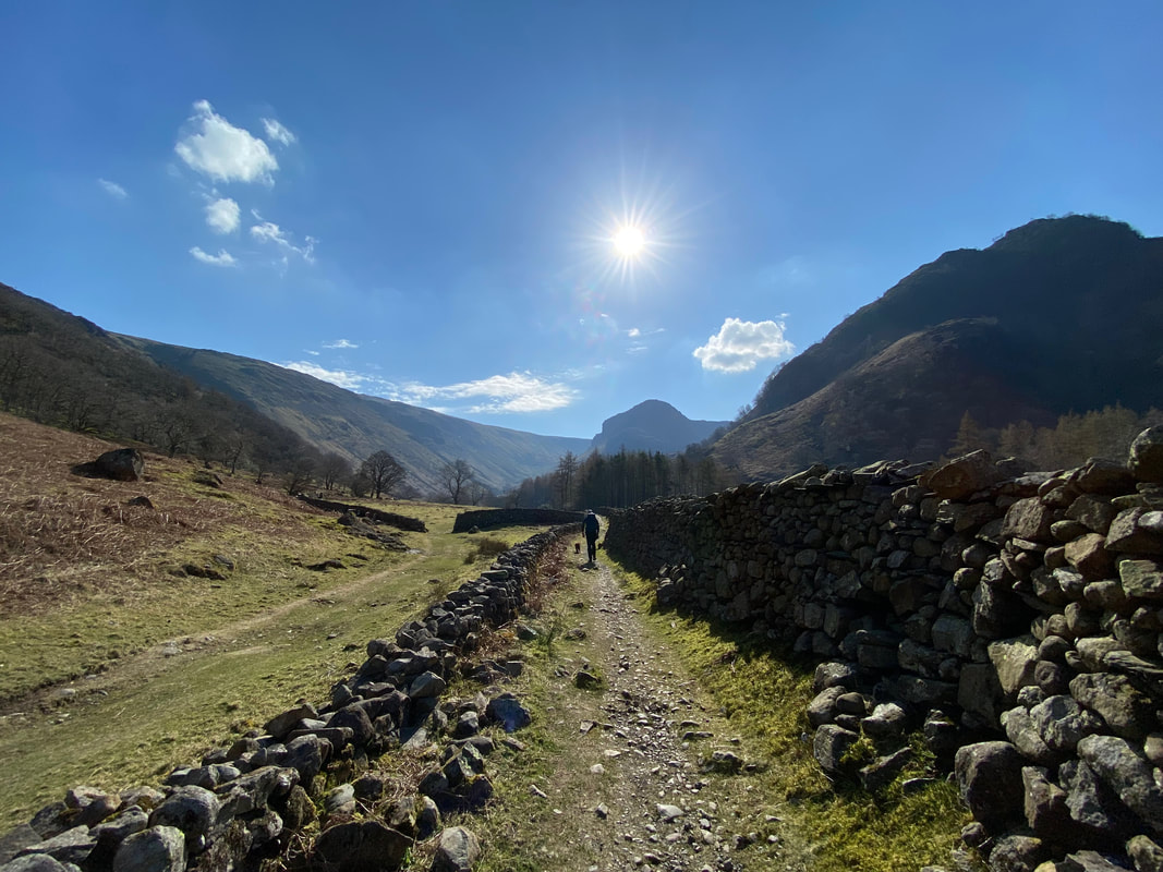
From the bridge the route turns right to follow the Coast to Coast path coming in from Rosthwaite. Alisongrass Crag is over to the right with Eagle Crag in the far distance.
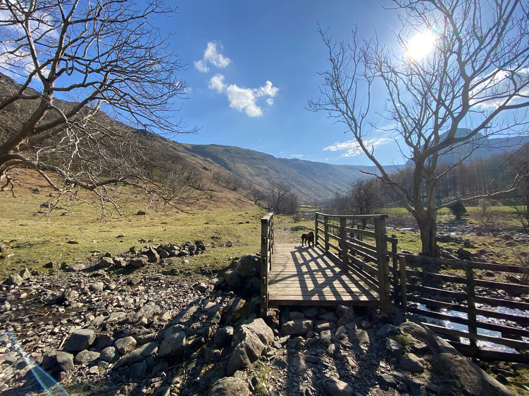
Crossing Willygrass Gill via the footbridge
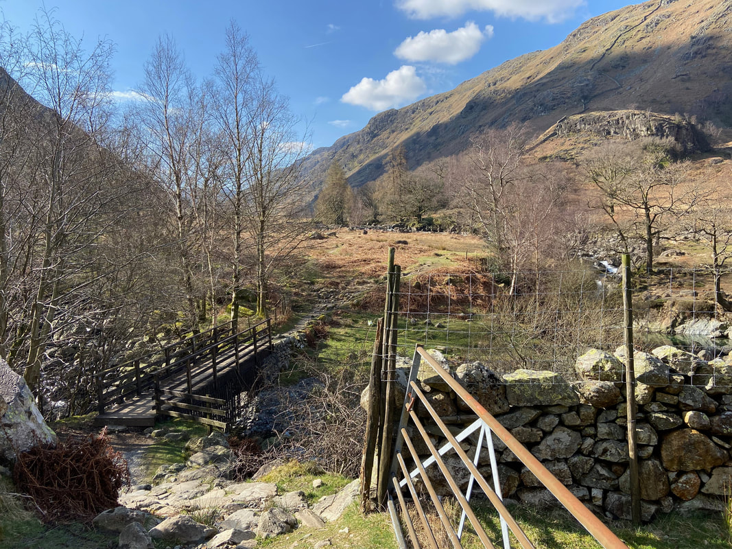
At Smithymire Island there is a footbridge to the right which crosses Greenup Gill heading for Langstrath. Do not cross the bridge but maintain the direction ahead continuing up the valley with Greenup Gill to your right.
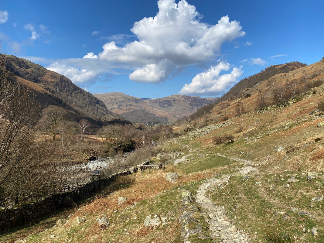
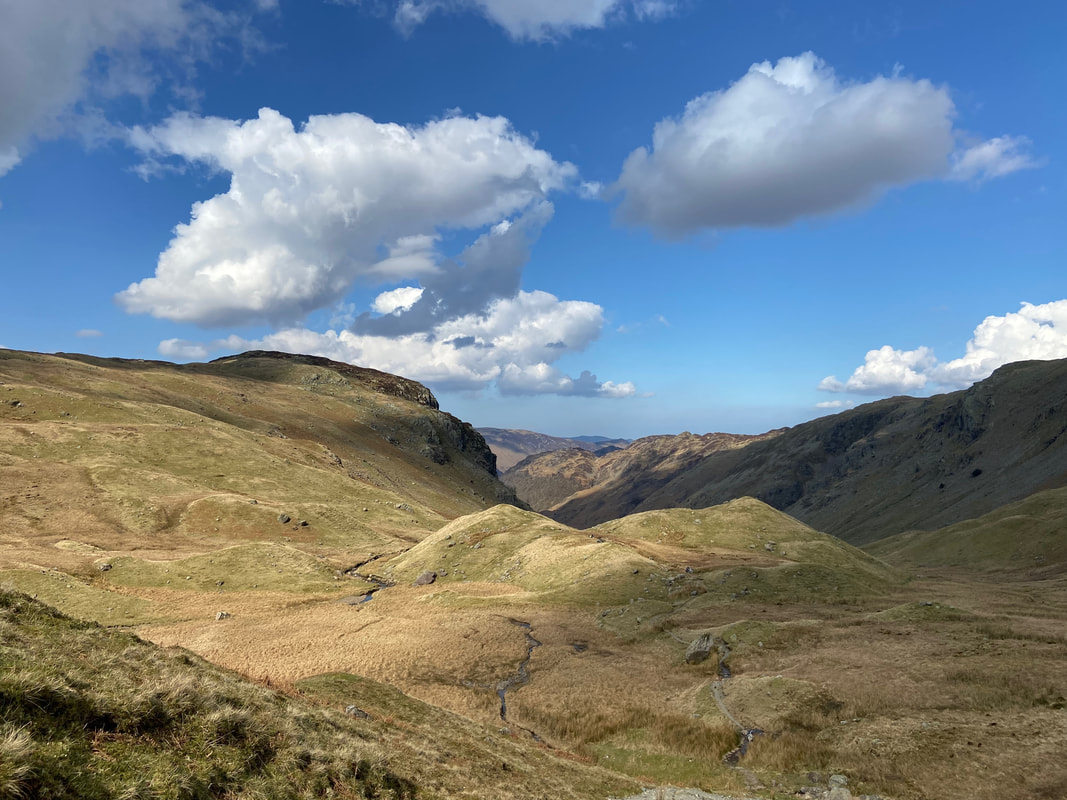
Looking back to Borrowdale
Looking up to Eagle Crag
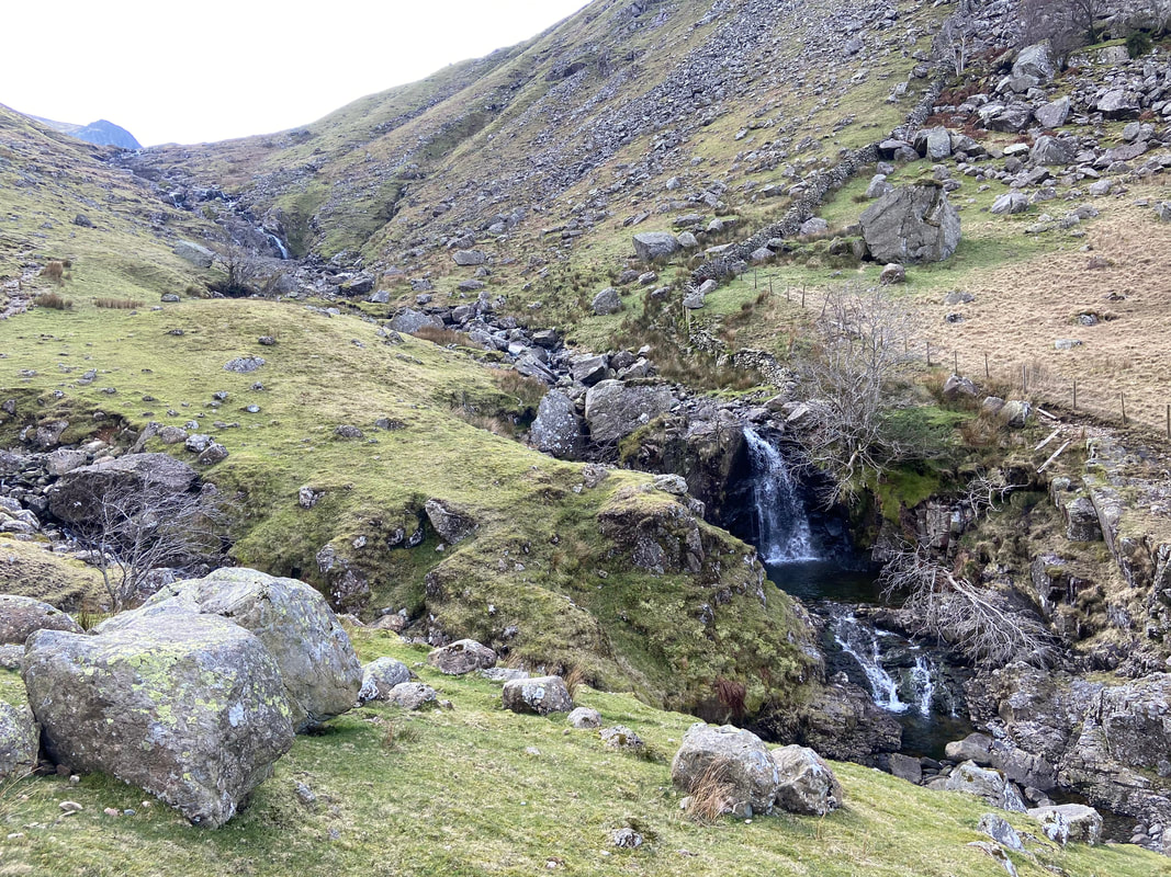
As height is gained, Greenup Gill provides a series of beautiful cascades
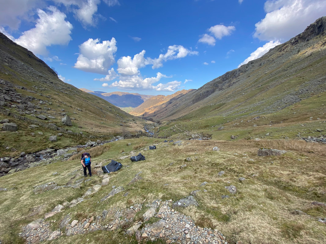
The black bags are full of large rocks and are used by members of Fix the Fells who maintain the paths on this and other popular routes. A link to their website is here
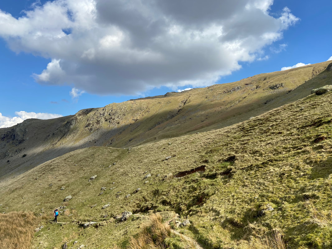
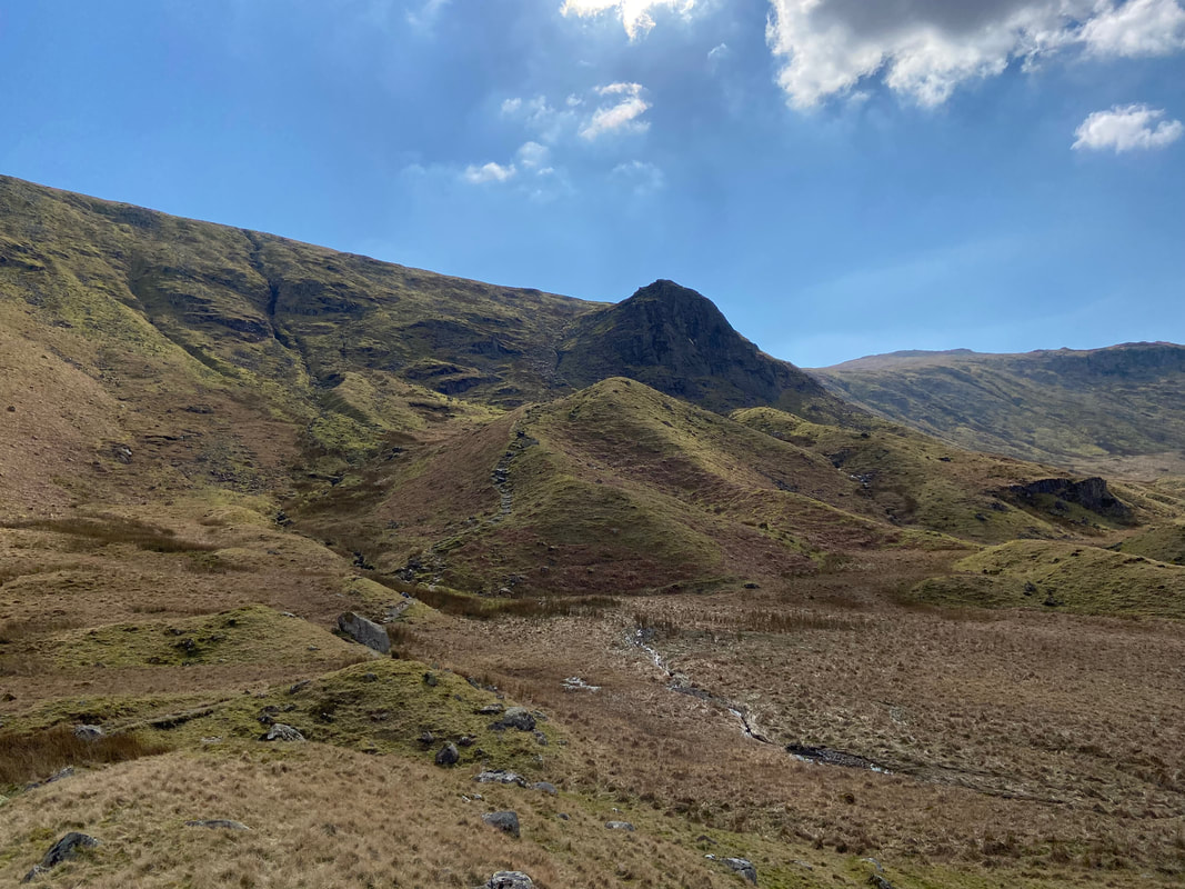
Long Band on Ullscarf towers above us as we continue up the valley
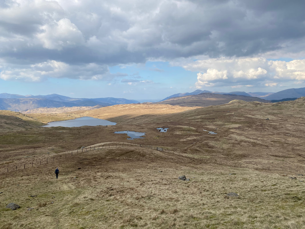
Lining Crag now in view up ahead. The area is teeming with Drumlins (also known as Moraines) which are oval-shaped hills, largely composed of glacial drift and were formed beneath a glacier or ice sheet and aligned in the direction of ice flow.
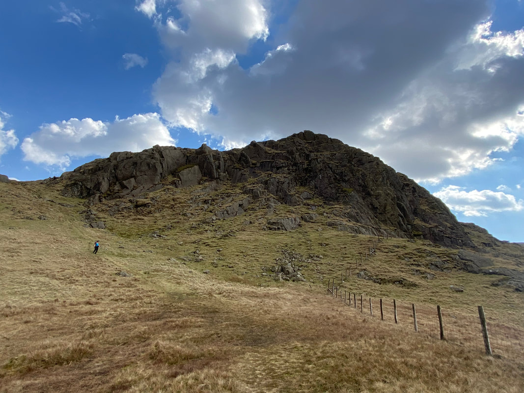
Eagle Crag over to the left as we look back towards Borrowdale from the start of the ascent of Lining Crag
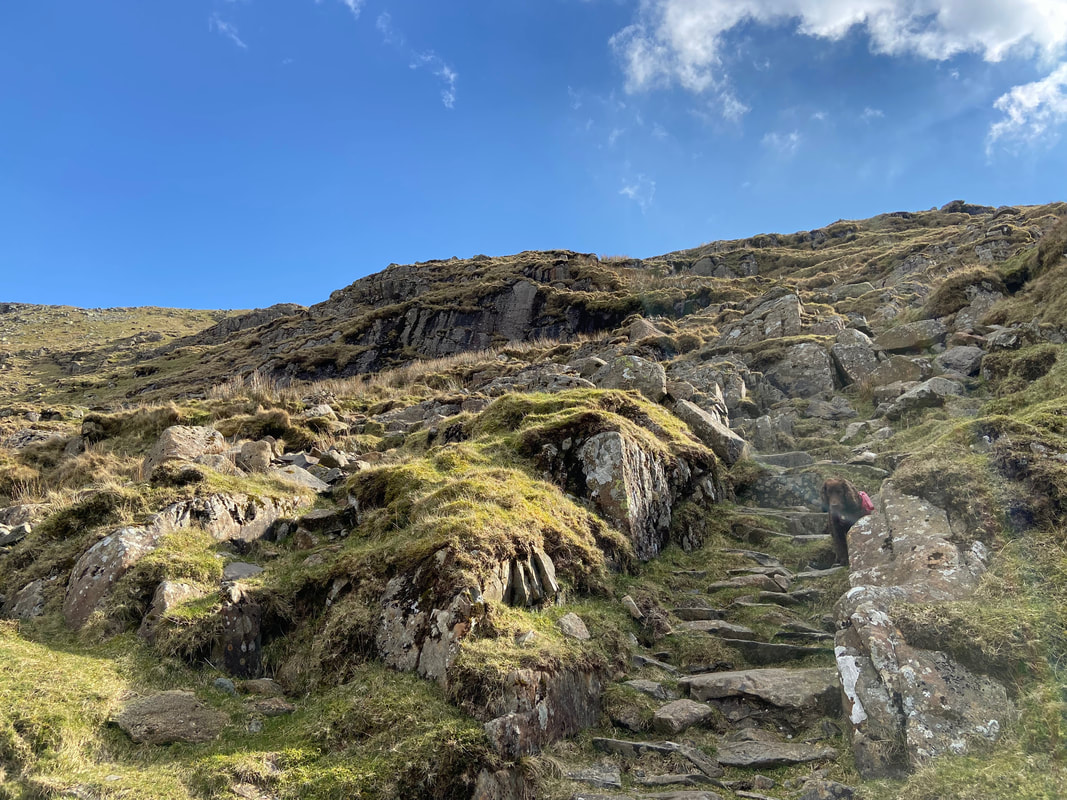
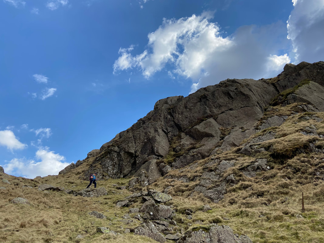
Innocuous at first, the route up the side of Lining Crag can be made as hard or as easy as you like. There are a series of small cairns to follow which ensures the walker keeps to a good route up. However after a lot of rain the path can turn into a water course therefore just take your time and enjoy the scramble.
The path makes a zig zag ascent of Lining Crag and it is just a question of heading up and picking a sensible route
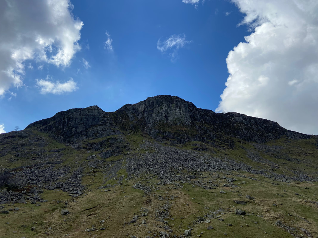
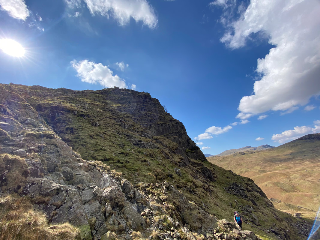
Ascending Lining Crag, height is gained very quickly. Sergeant's Crag is to the left with Eagle Crag to the right.
Looking across the Drumlins with Sergeant's Crag centre right and Glaramara beyond
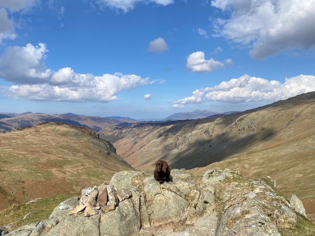
Fudge on the summit of Lining Crag - and what a view with Skiddaw in the far distance
Long Crag on the left and the path over from Sergeant's Crag sweeping in from the right. At Grid Reference NY 28434 10965 the route to Ullscarf leaves the main path to head east.
Low White Stones below High Raise from the Ullscarf path
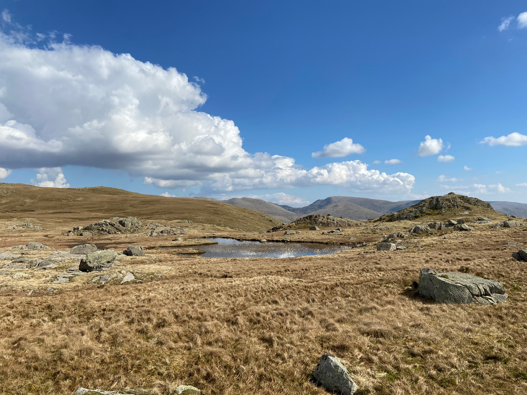
The path passes to the left of a small tarn below Middle How with Dollywaggon Pike & Fairfield to the rear
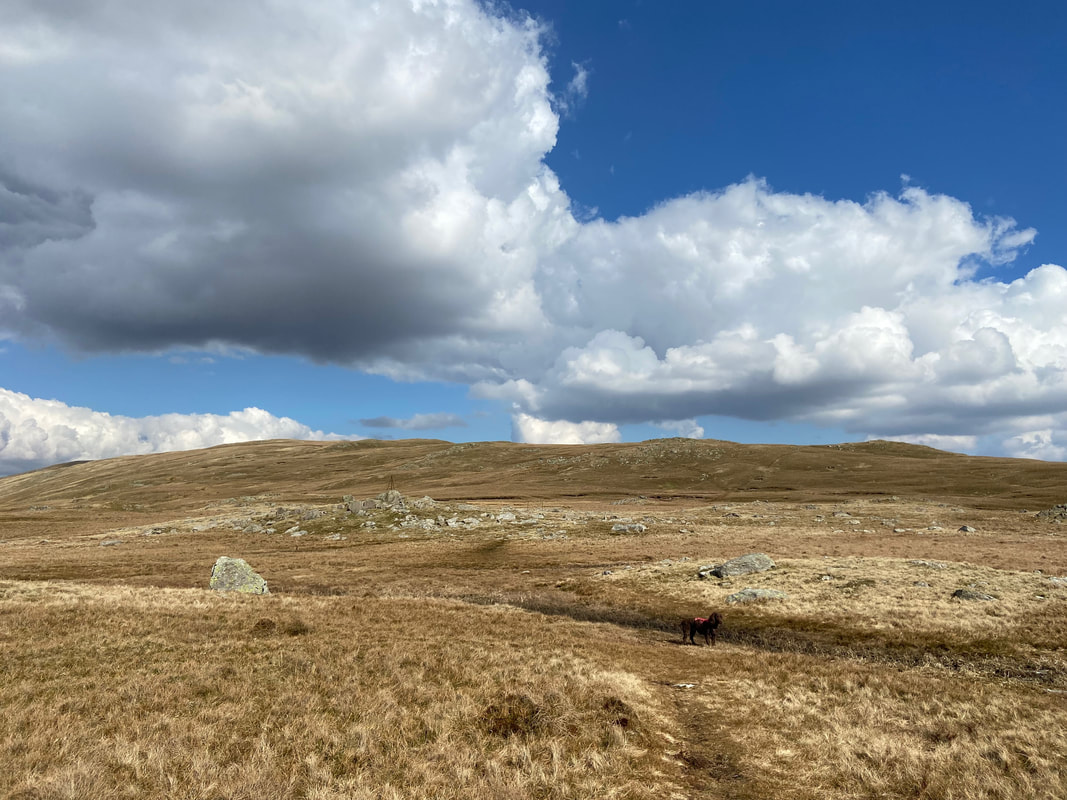
The going to Ullscarf from Greenup Edge is on a gently rising grassy path with the odd boggy section that can easily be avoided
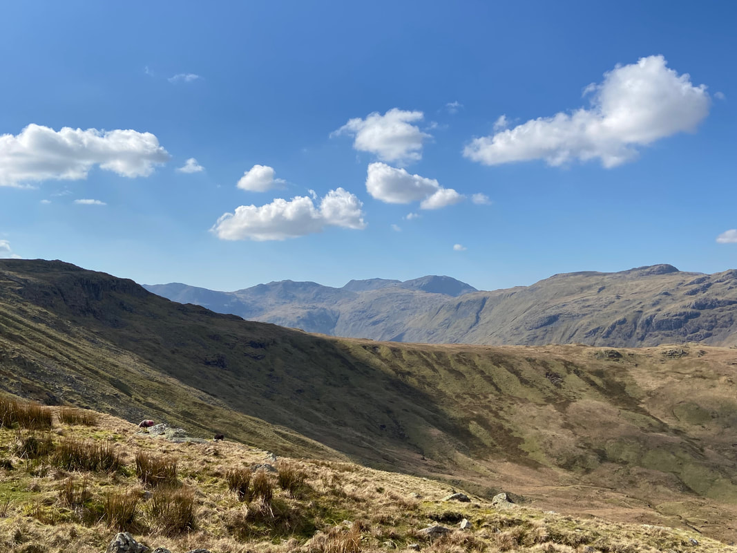
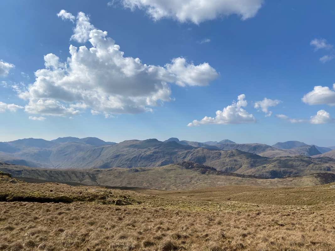
Ullscarf sometimes gets an unwarranted reputation as a featureless and boring trudge but clearly has fantastic views from its seven mile circumference. I mean, just look at that view over to the Scafells & Great Gable amongst others.
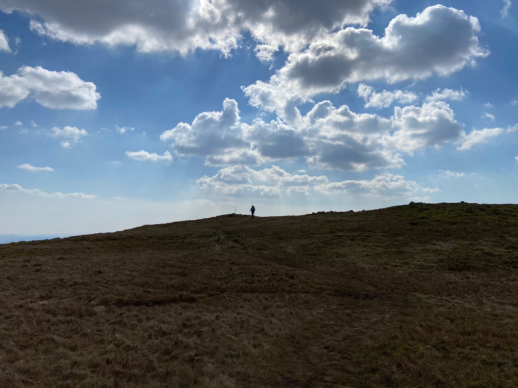
Approaching the summit of Ullscarf
An underwhelmed pooch on the summit of Ullscarf
At this old fencepost at Grid Reference NY 29066 12460, the route turns to the north east to head to a fence corner.
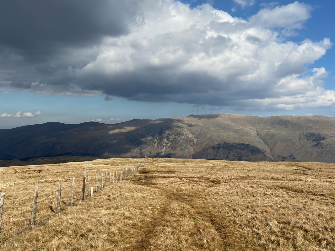
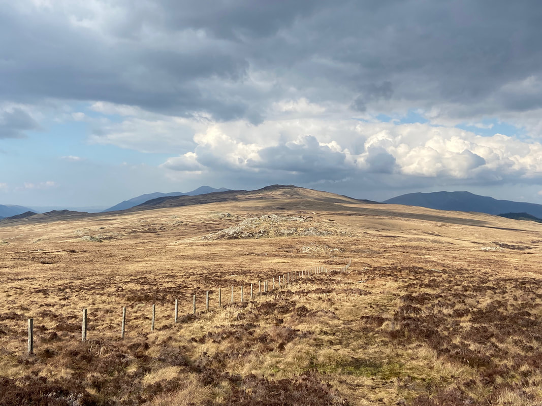
Heading to the fence corner from the old fencepost
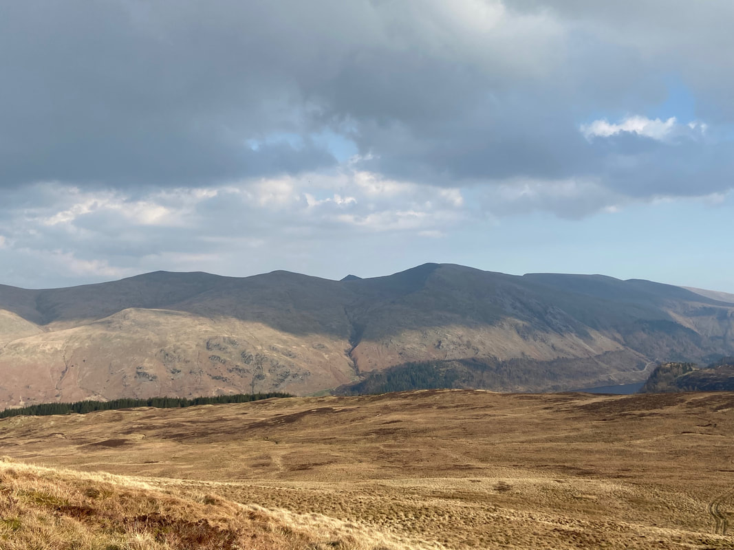
From the fence corner the path heads downhill with a fine view of the Helvellyn range over Thirlmere
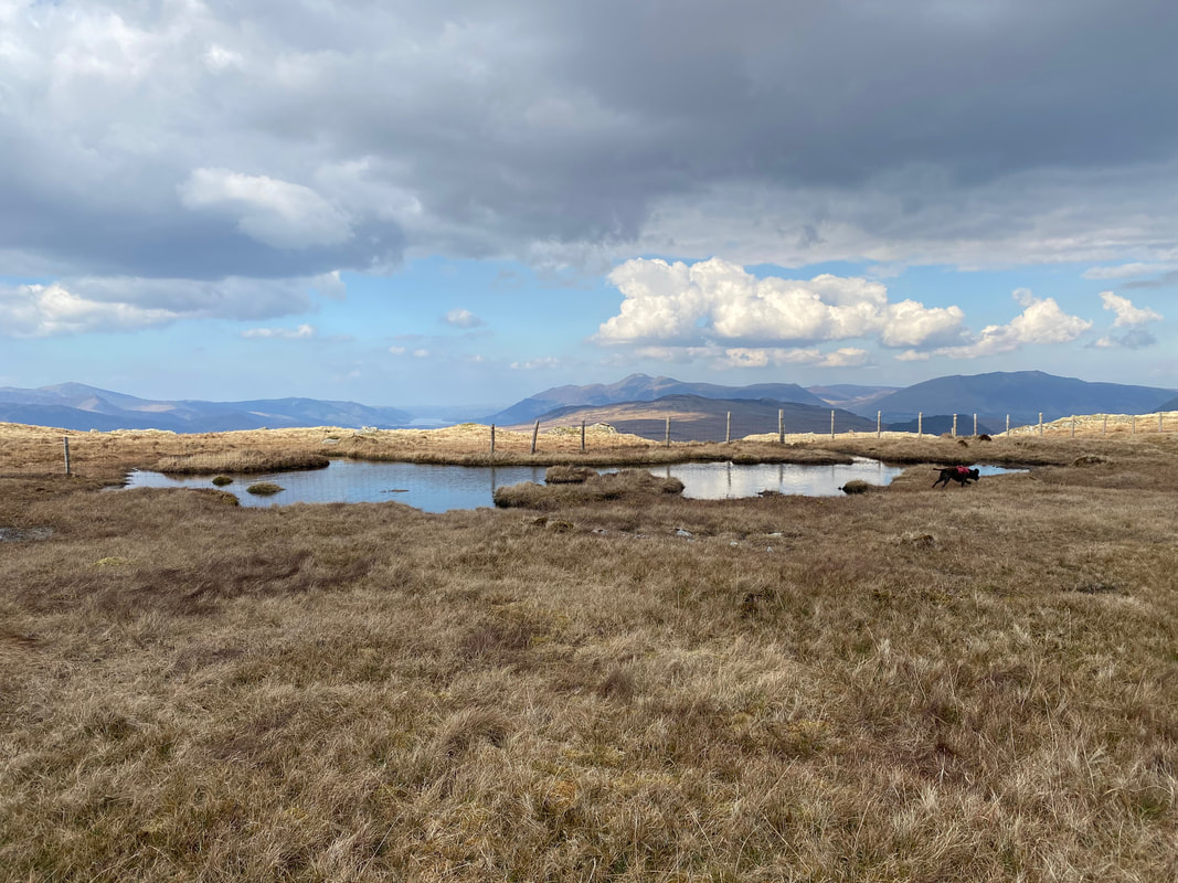
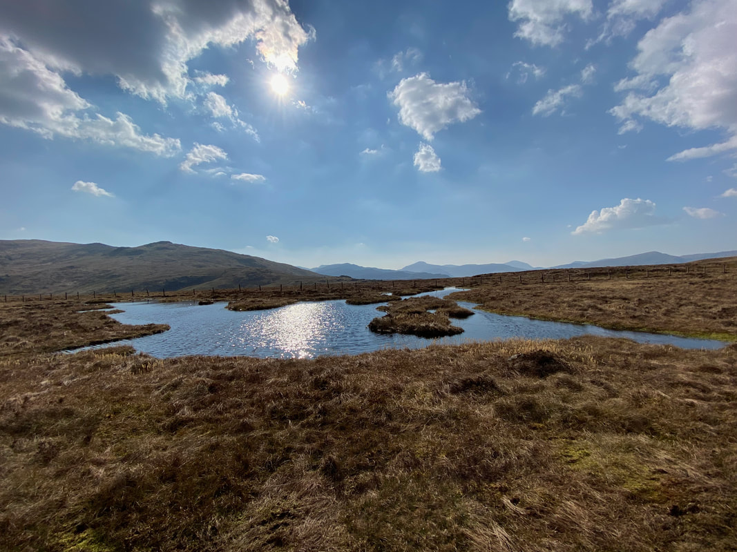
Still following the fence, the path passes a small tarn - as usual Fudge does his nut when there is water to arse about in.
The rock that marks the summit of Standing Crag
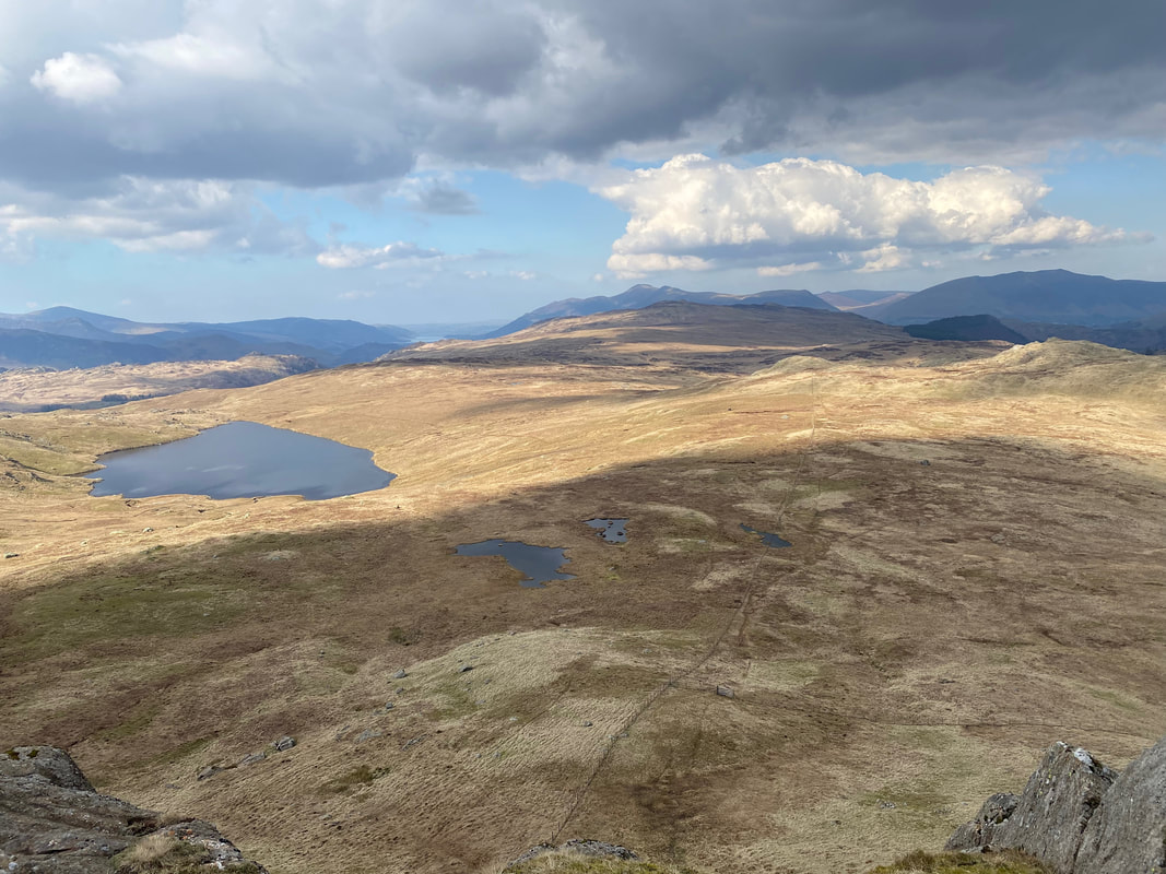
Looking to Blea Tarn from the summit of Standing Crag. Our onward path can be seen below alongside the fence therefore it was time to make the steep descent from Standing Crag.
Descending from Standing Crag which is up to the right
Having descended from Standing Crag we headed over to Bell Crags which is just out of shot to the right
Looking back to Standing Crag as Angie nears her descent
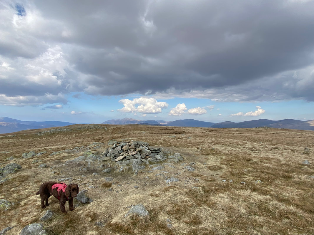
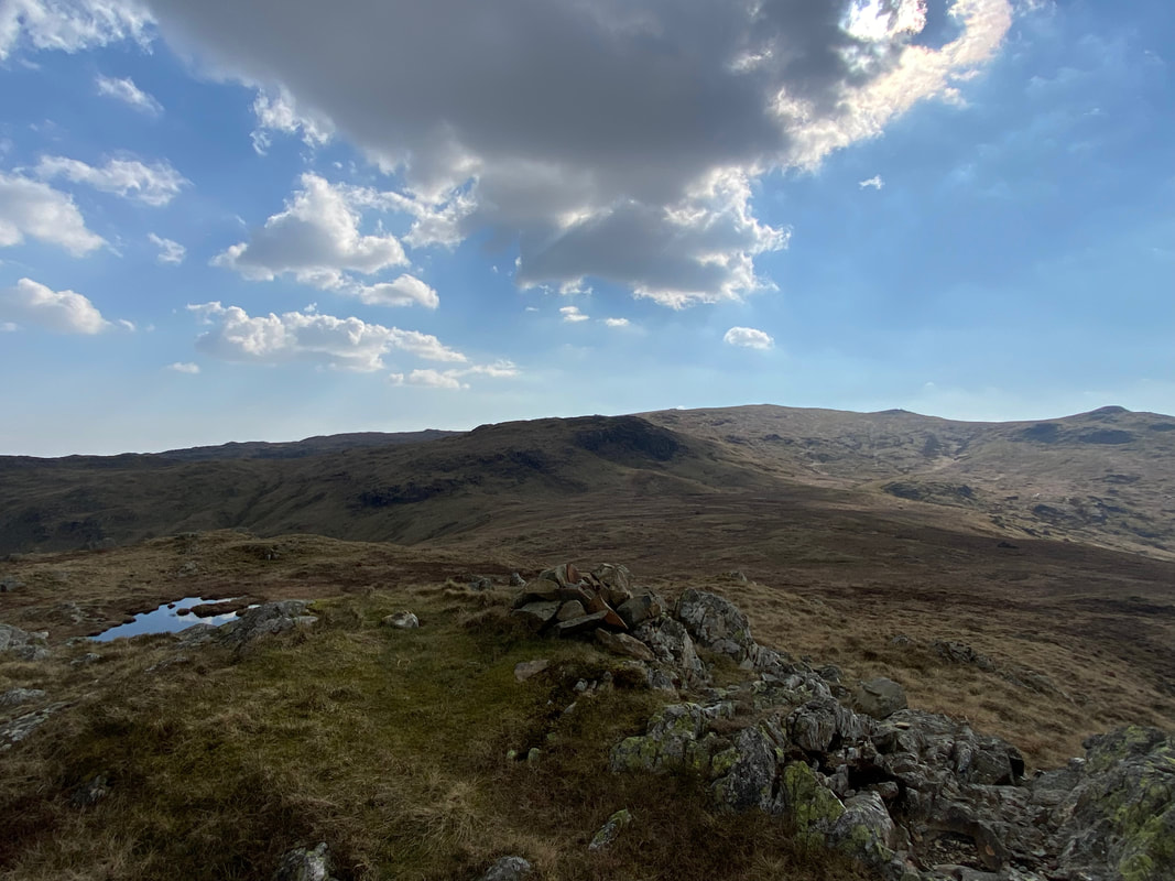
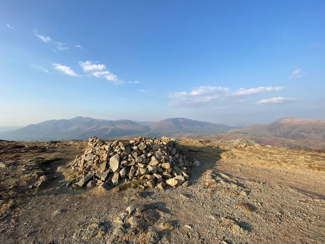
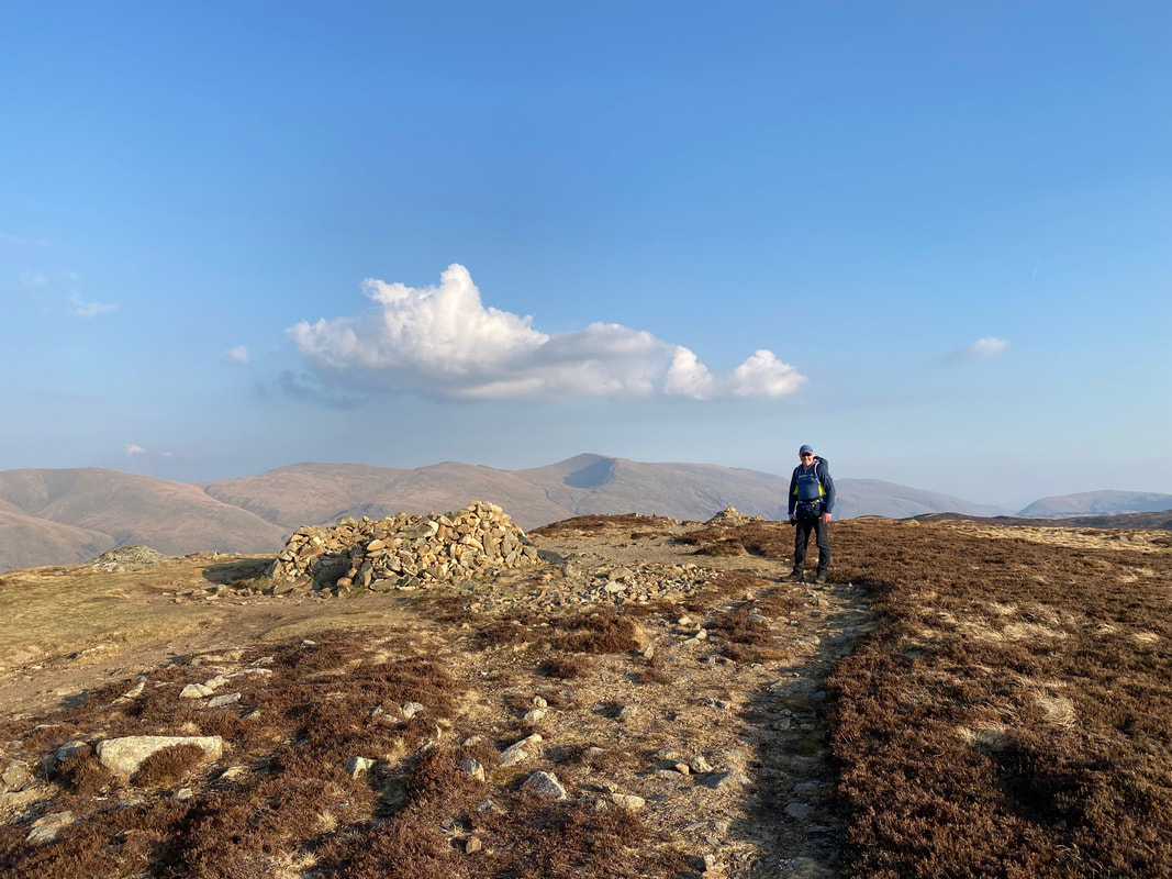
The cairn on the summit of Bell Crags
The rocky outcrop that marks the summit of Bell Crags
From Bell Crags we aimed for this small tarn which took us back onto the handrail of the fence line towards Shivery Knott
Looking back to Bell Crags from the path to Shivery Knott
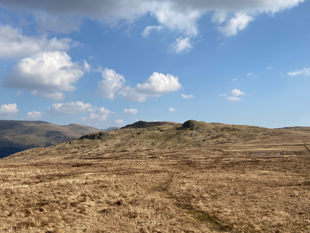
Shivery Knott ahead with High Tove beyond
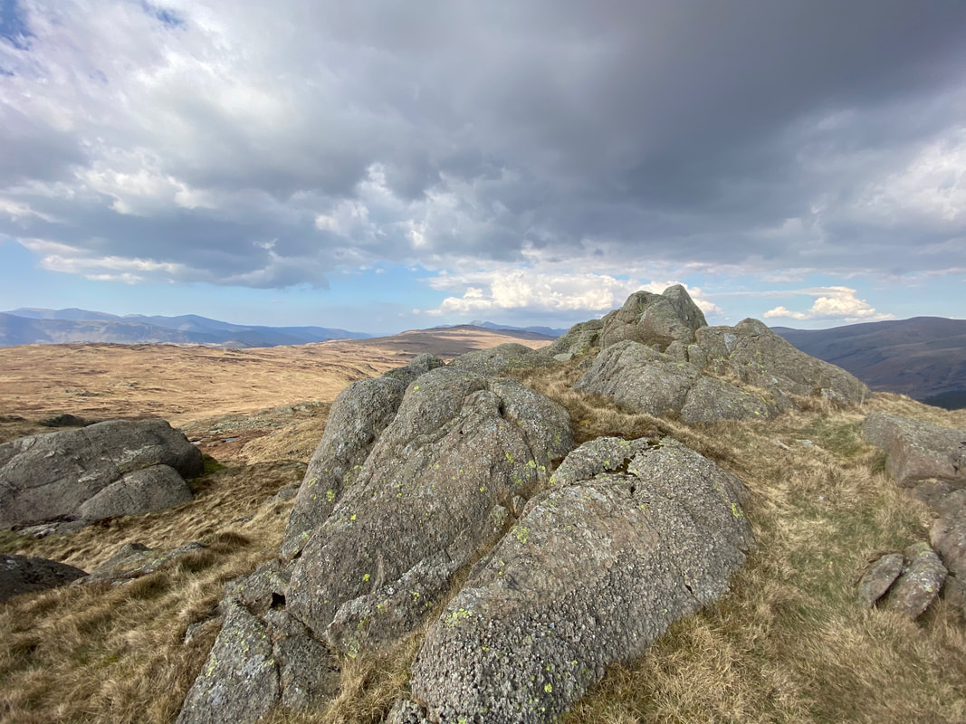
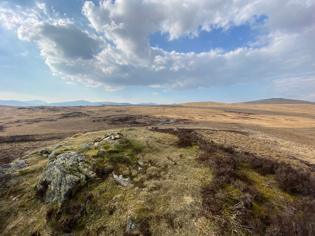
The rock outcrop that marks the summit of Shivery Knott
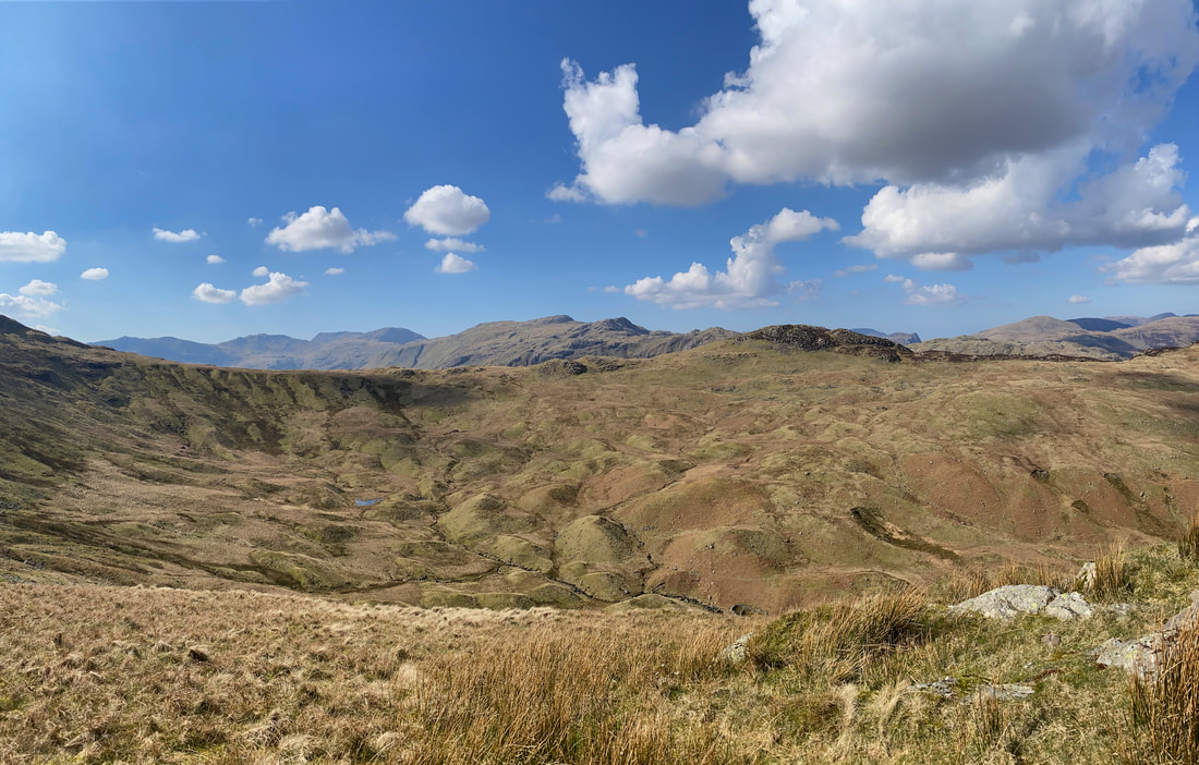
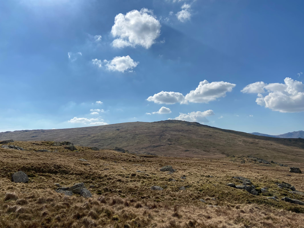
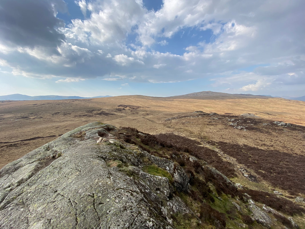
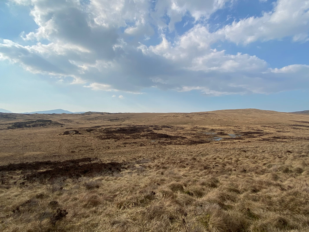
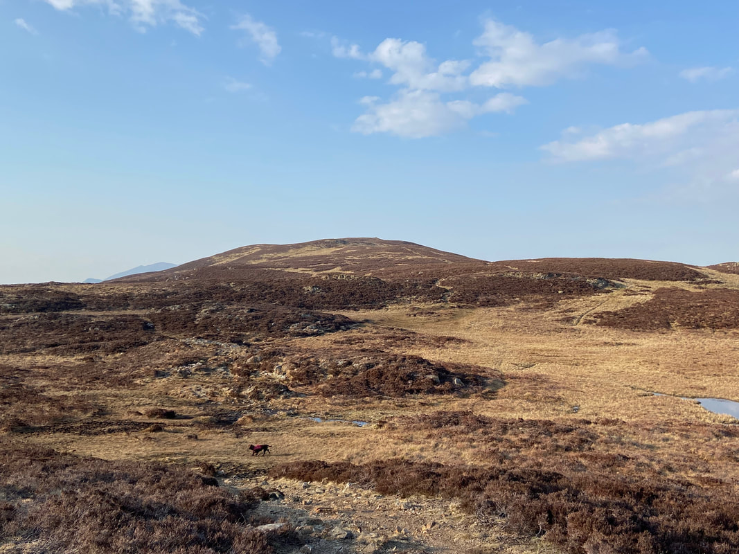
From Shivery Knott we were now off to the infamous Wainwright of Armboth Fell. Much is made of the terrain in and around Armboth - I personally think it gets a bad press and is slightly over stated as to its bogginess. Surface water - yes, knee deep bog - no.
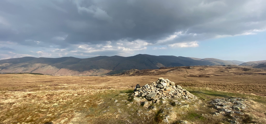
The Wainwright summit of Armboth Fell with High Tove to the right and High Seat beyond. At 1558ft (475m) it is 14ft (4.2m) lower than its neighbouring Birkett some 270 yards to the north east.
The Birkett of Armboth Fell - a leisurely couple of minute bimble therefore may as well pop over.
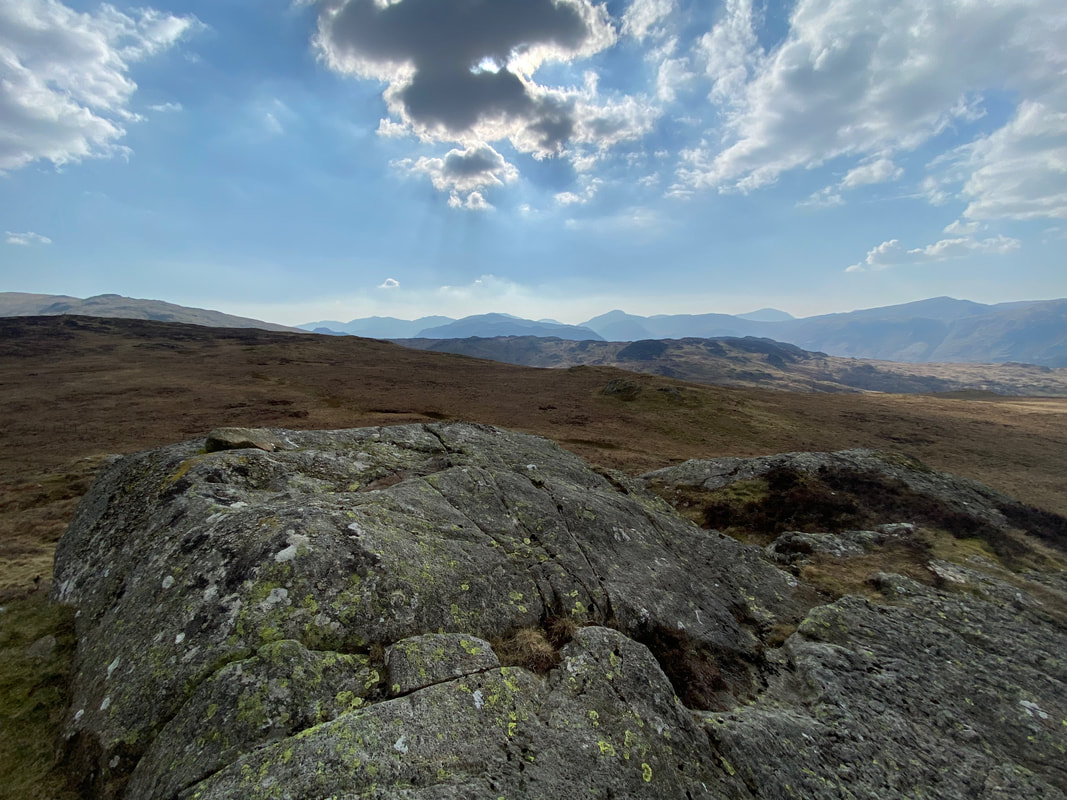
The large smooth outcrop that marks the summit of Armboth Fell (Birkett)
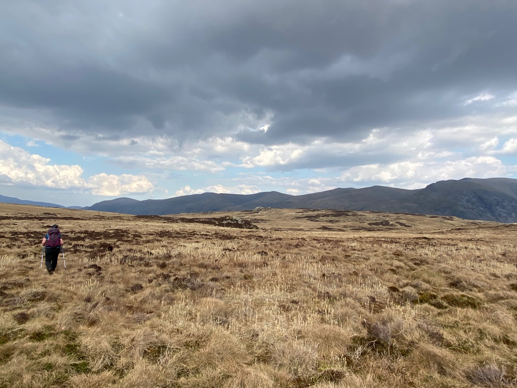
From Armboth Fell it was time to make our way as best we could over pathless terrain back to the fence line. The path is intermittent and passes over squelchy ground.
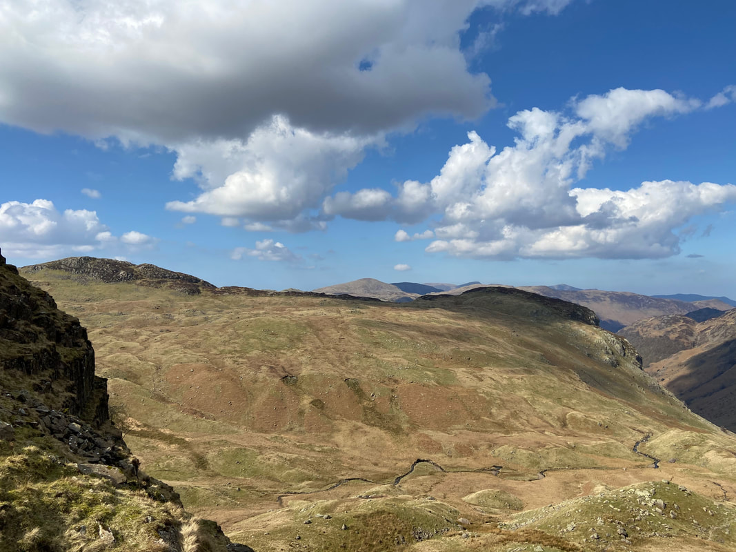
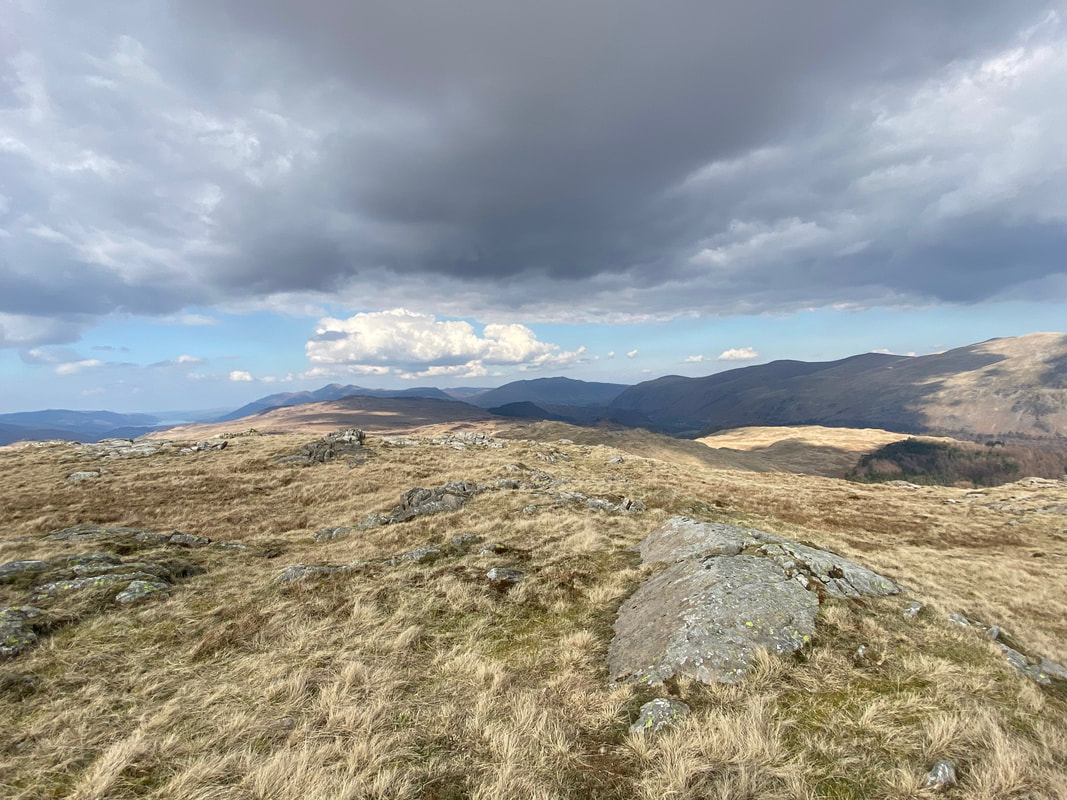
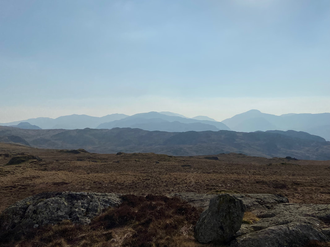
Layers and layers of fells as seen from Middle Crag
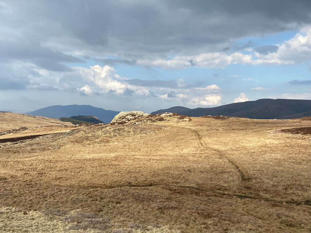
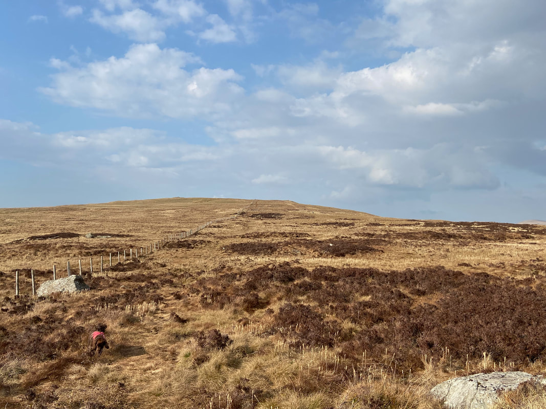
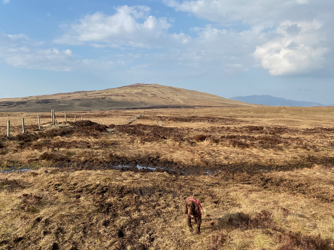
Fudge has a good old sniff as we arrive back at the fence line with High Tove up ahead
The summit of High Tove - there were two people up here who were the first humans we had seen all day
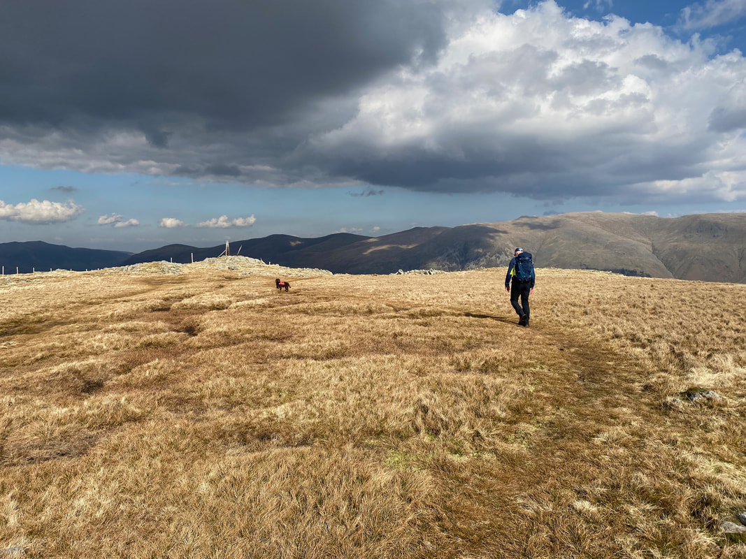
From High Tove we were now off to High Seat which is up ahead. Fudge gives me another one of his stares in order to remind me he hasn't eaten anything for at least 10 minutes.
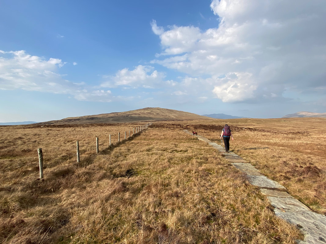
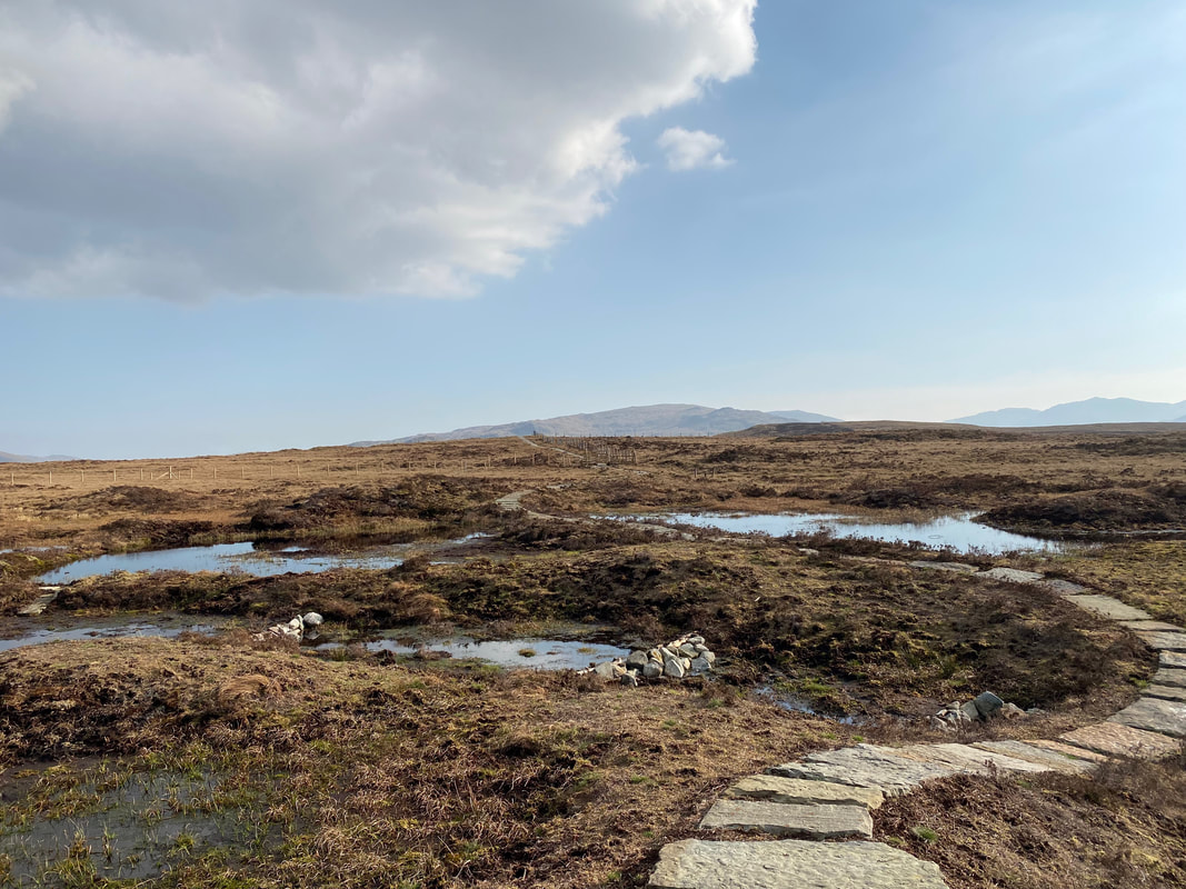
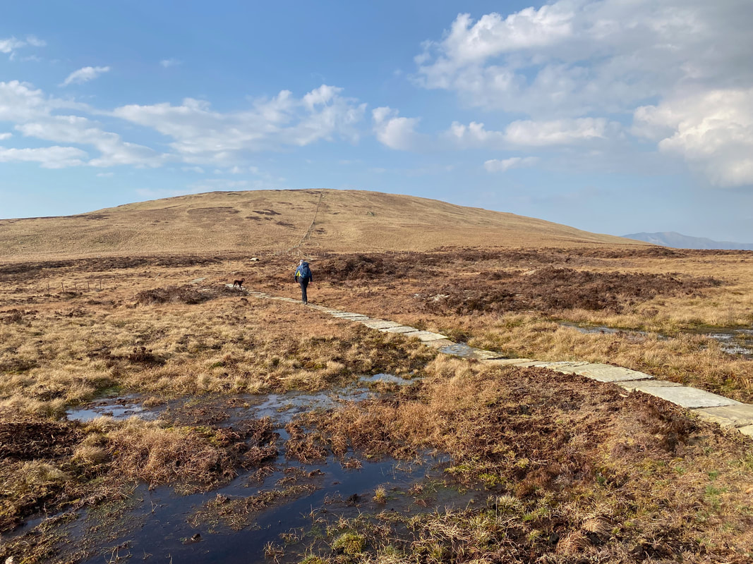
The stone slabs between High Tove & High Seat that now make the walk over the notorious "Pewits" much, much more bearable. The area suffers from a lot of erosion and the slabs provide an easier transit for the walker plus they help the area recover.
An example of the erosion on The Pewits as the slabs snake through the area
Approaching High Seat and the end of the slabs
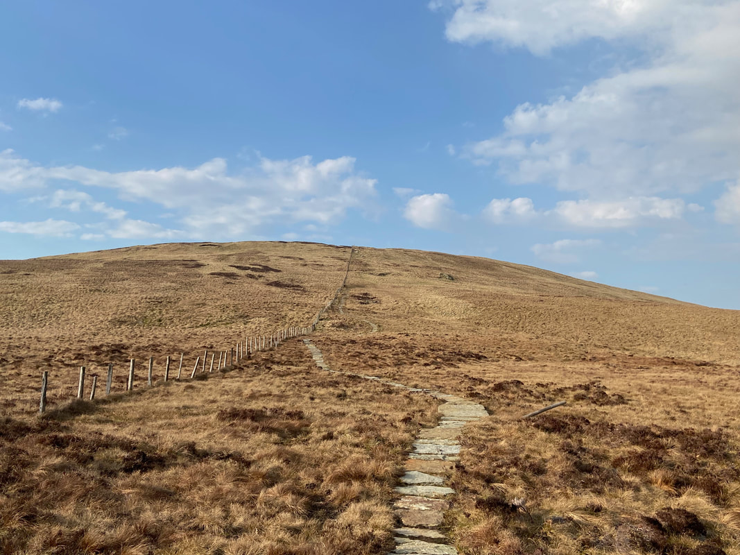
The slabs end as the gradient starts to rise
The unmistakable top of Catstycam pokes over the top of the Helvellyn range
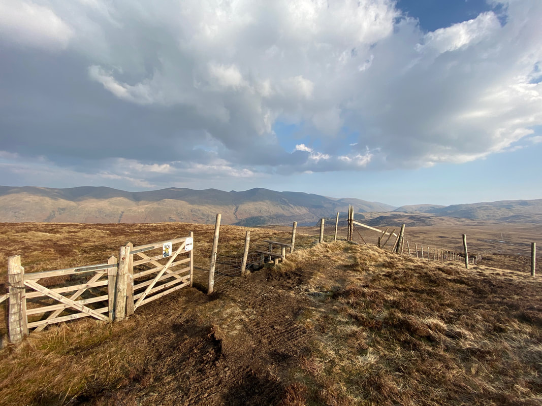
The fence is crossed via a stile just before the summit of High Seat
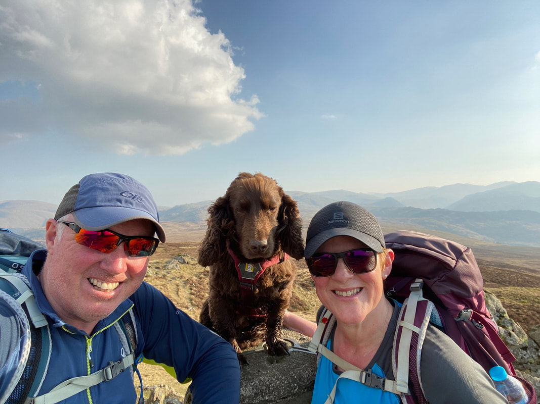
A summit selfie on High Seat - as usual Fudge hides his emotions and deploys his "mildly cheesed off" face
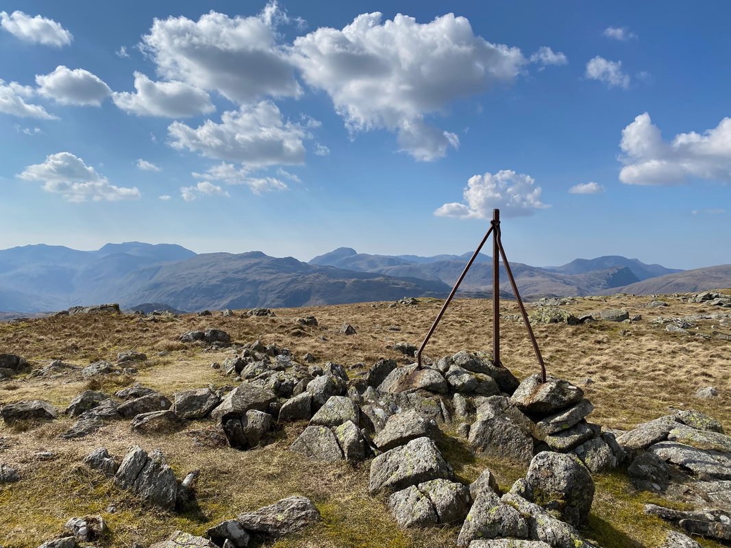
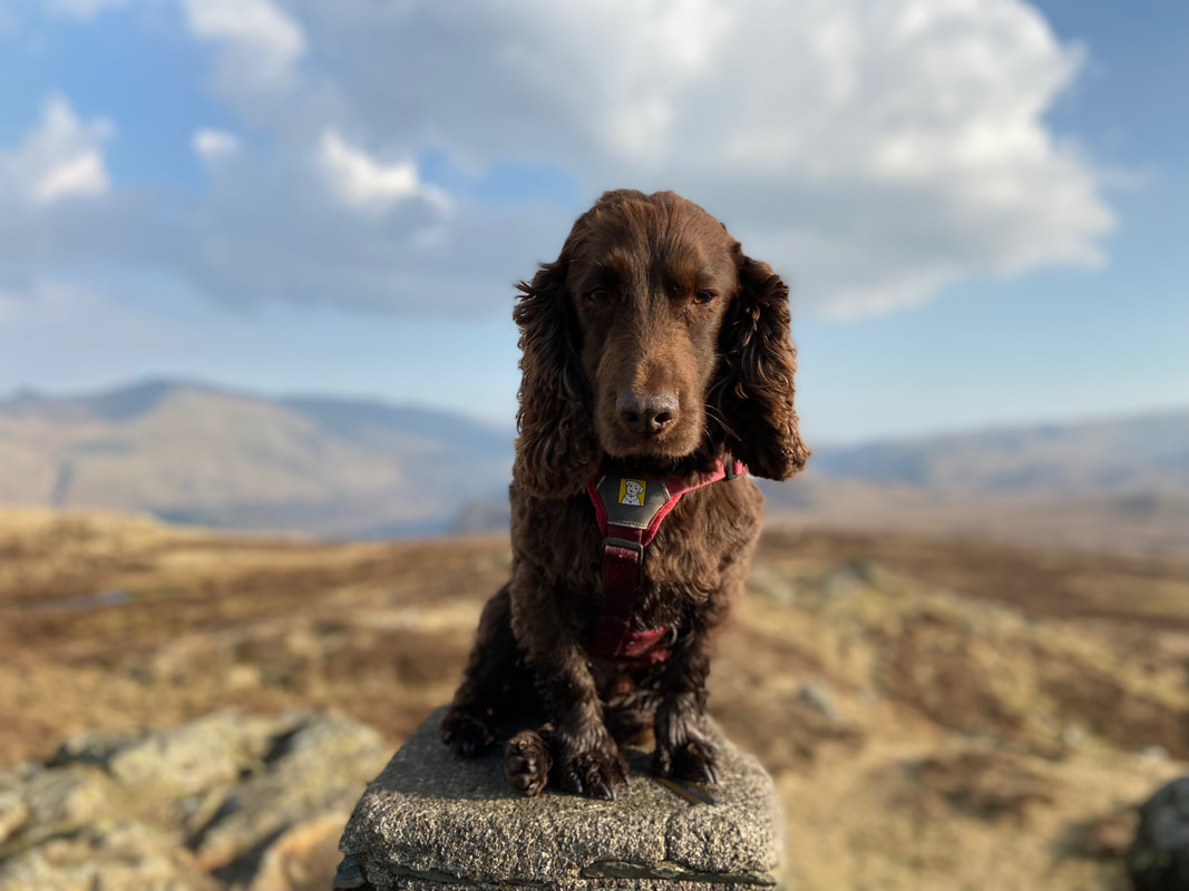
Fudge adorning High Seat's Trig Point
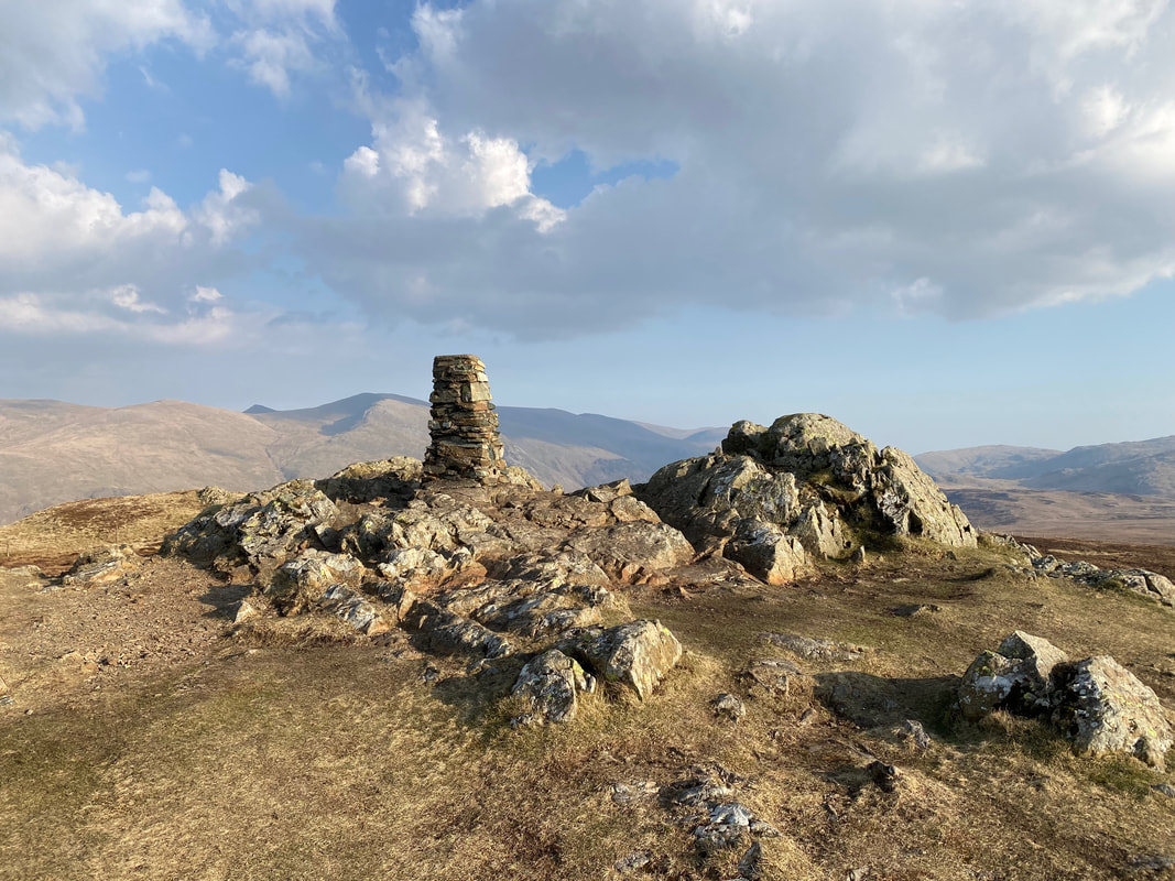
The summit of High Seat
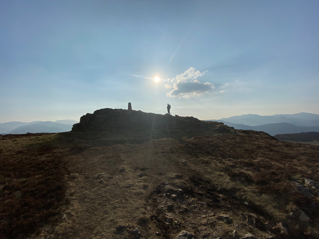
High Seat as the sun starts to set
Bleaberry Fell from Threefooted Brandreth
The summit of Bleaberry Fell
Up on the summit of Bleaberry Fell and what a time to be up here
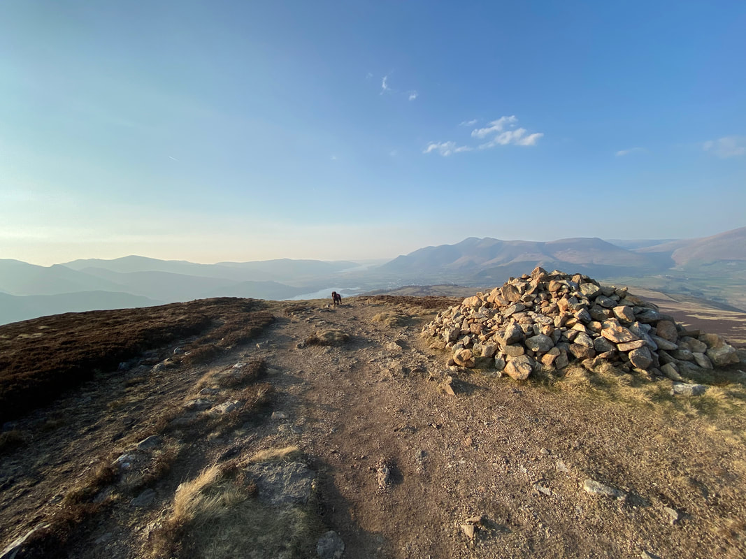
The large cairn at the northern end of Bleaberry Fell's summit - Fudge has found our descent path and awaits impatiently
The view from the descent of Bleaberry Fell (click Play to view)
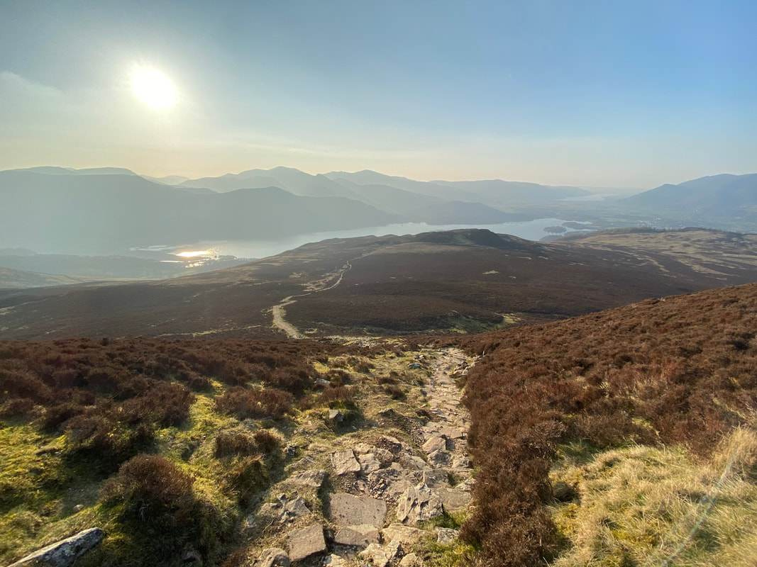
The rocky descent from Bleaberry Fell with Walla Crag ahead
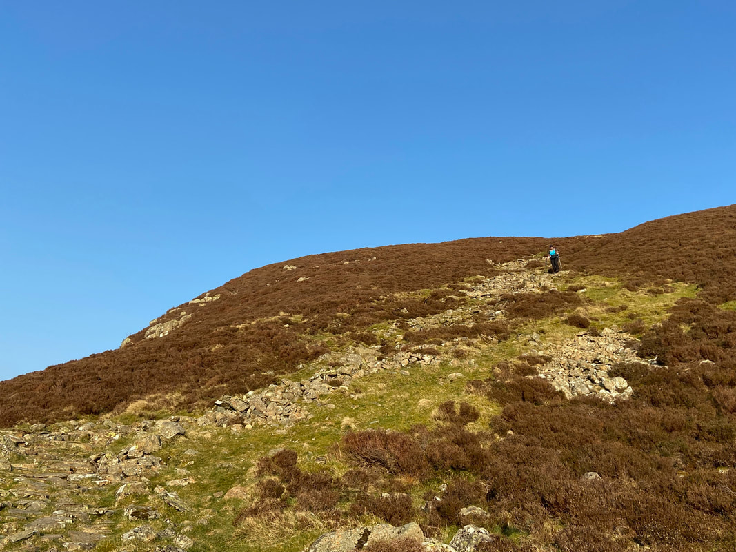
Angie making her way down off Bleaberry Fell
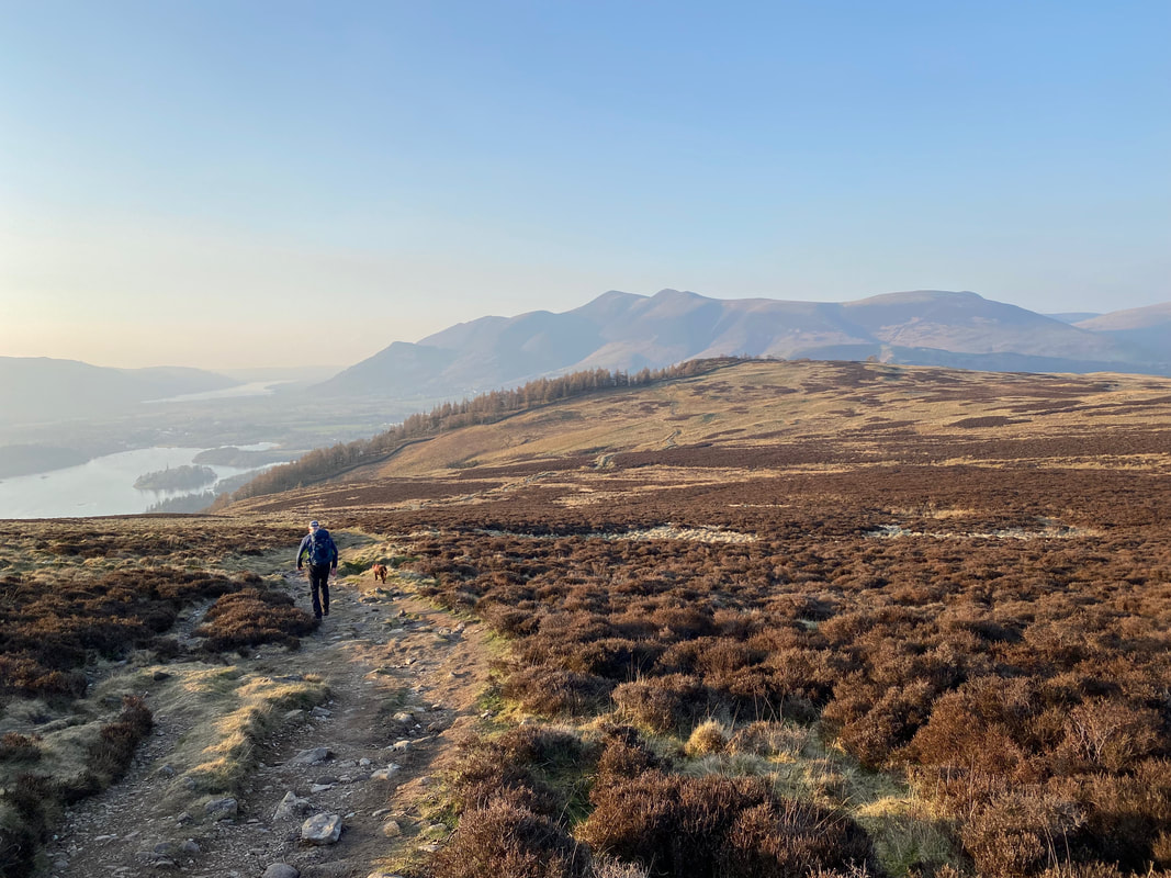
Nearing Walla Crag with Skiddaw providing the backdrop and Derwentwater to the left
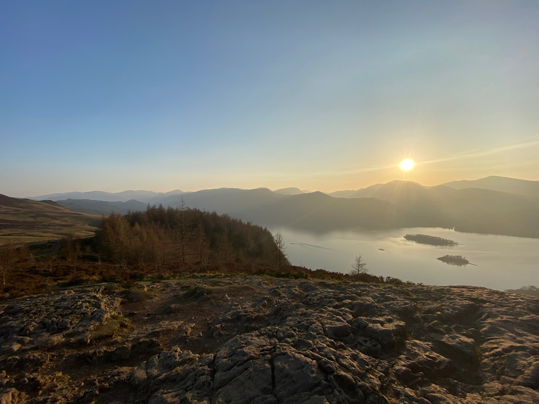
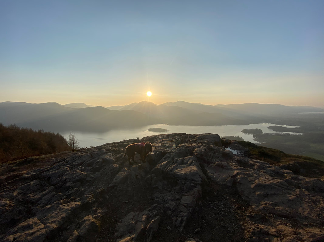
The summit of Walla Crag as the sun slowly sets
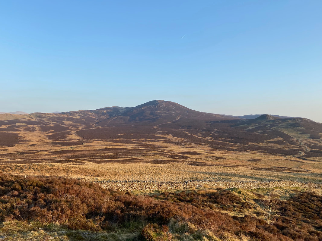
Bleaberry Fell from Walla Crag
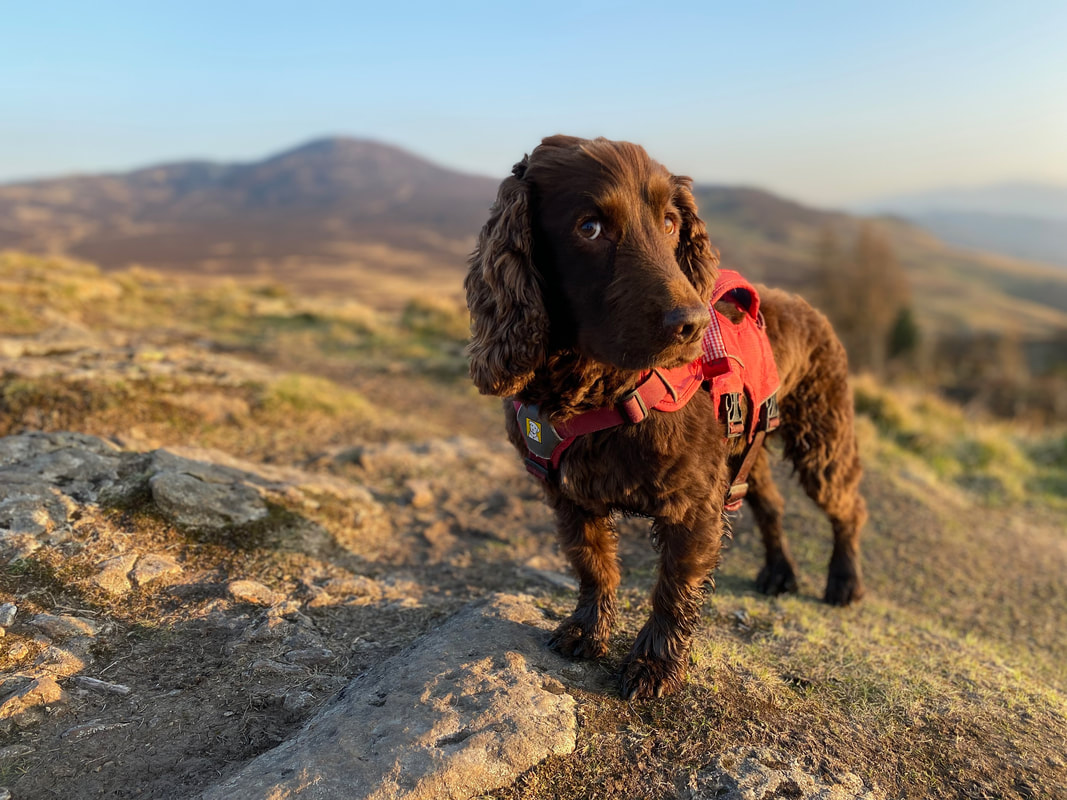
A posing Fudge on the summit of Walla Crag
The look we get when we are pushing our luck with "just another photograph Fudge"
Not far now as we near Rakefoot
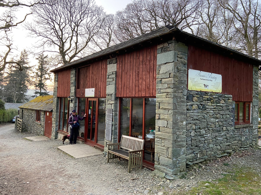
The cafe was long, long shut but Mrs W tries her luck anyway
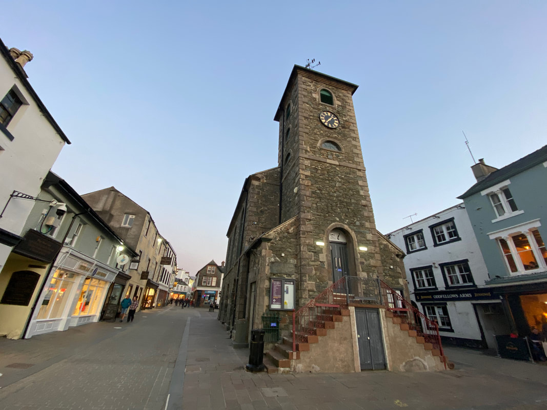
The Moot Hall in Keswick - quiet for a Friday night
