Long Meg & Lacy's Caves - Friday 14 May 2021
PLEASE NOTE: The footpath from Daleraven Bridge to Lacy's Caves is closed until 2022. The caves can however be reached from Little Salkeld via the disused Longmeg Mine
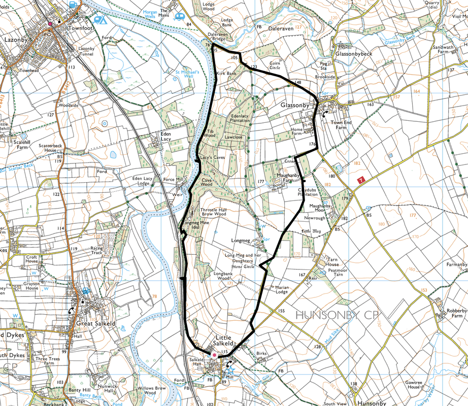
Route
Little Salkeld - Long Meg & Her Daughters - Addingham Church - Glassonby - Daleraven Bridge - Tib Wood - Lacy's Caves - Cave Wood - Longmeg Mine - Little Salkeld
Parking
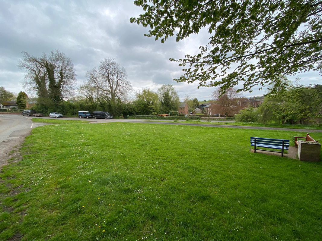
Plenty of roadside parking in Little Salkeld near the Village Green - Grid Ref NY 5659 3619, nearest postcode is CA10 1NL.
Mileage
6 miles
Terrain
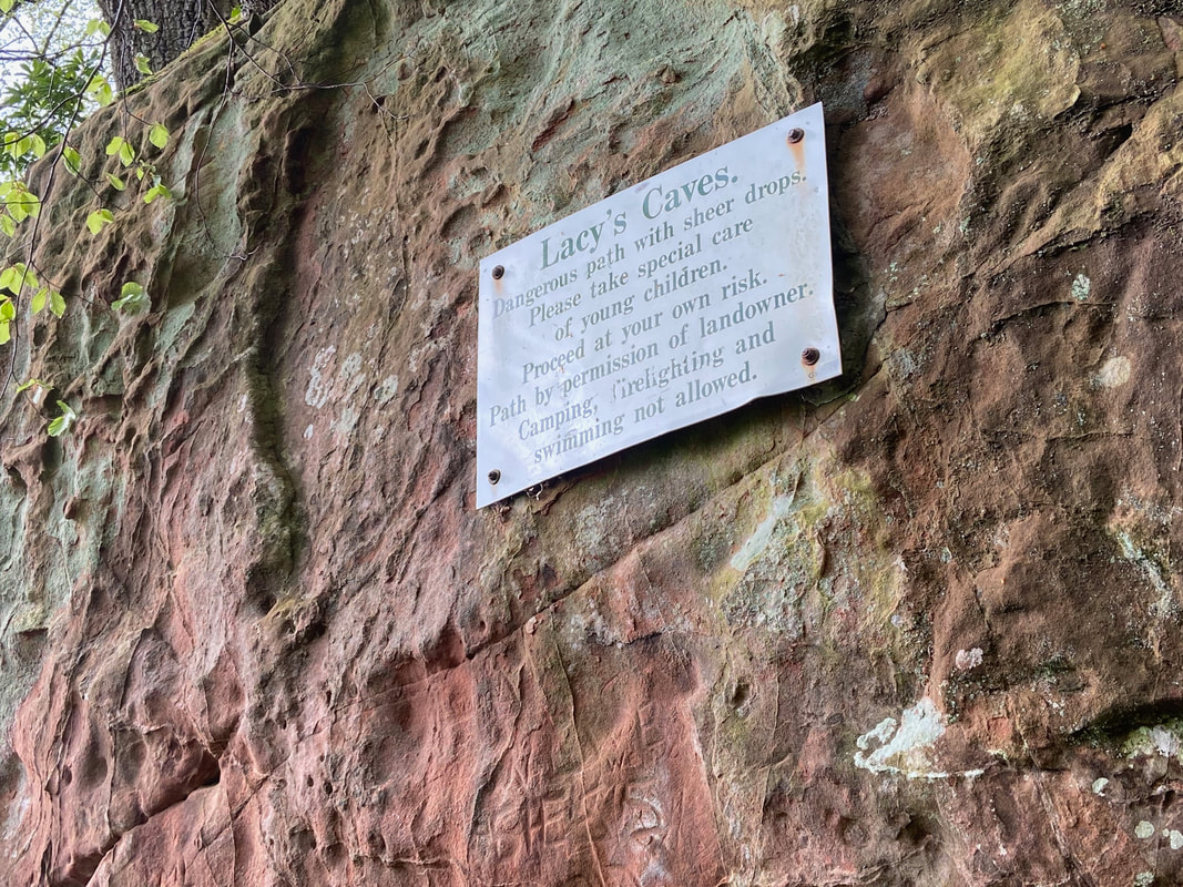
Quiet lanes and woodland paths. Care needs to be taken in and around Lacy's Caves due to the the sheer drops on one side.
Weather
Overcast with sunny spells.
Time Taken
3hrs
Total Ascent
731ft (223m)
Map
OL5 - The English Lakes (North Eastern Area)
Walkers
Dave, Angie & Fudge
|
GPX File
|
| ||
If the above GPX file fails to download or presents itself as an XML file once downloaded then please feel free to contact me and I will send you the GPX file via e-mail.
Route Map
The walk started from the Village Green in Little Salkeld where there is plenty of parking
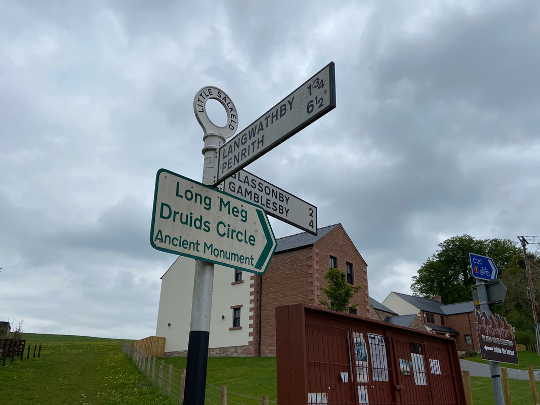
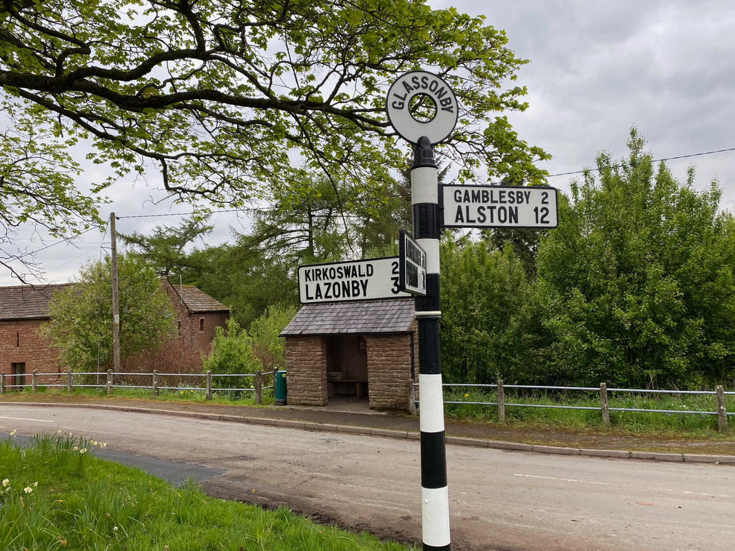
A sign points the way along a quiet lane in the direction of Glassonby towards Long Meg
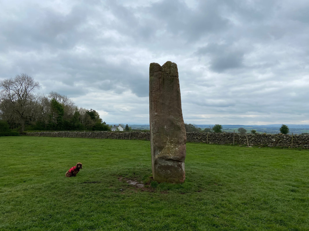
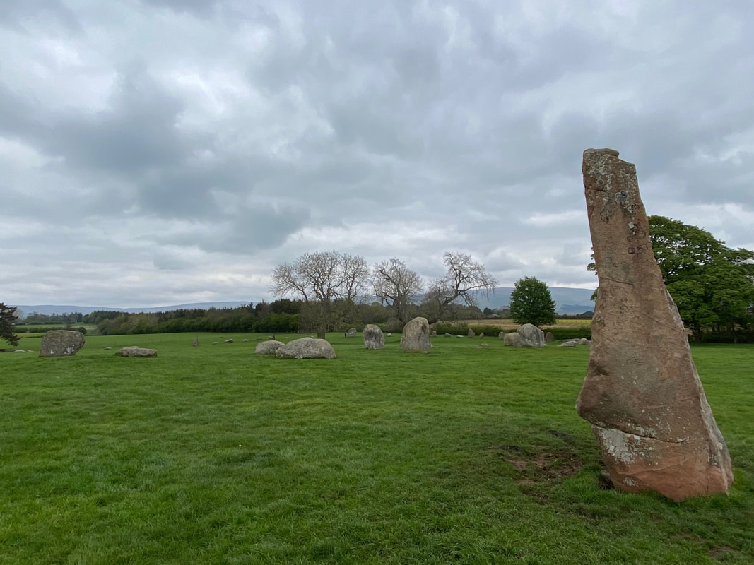
Long Meg with Fudge posing to add a sense of scale
Long Meg & Her Daughters
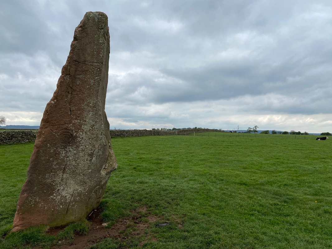
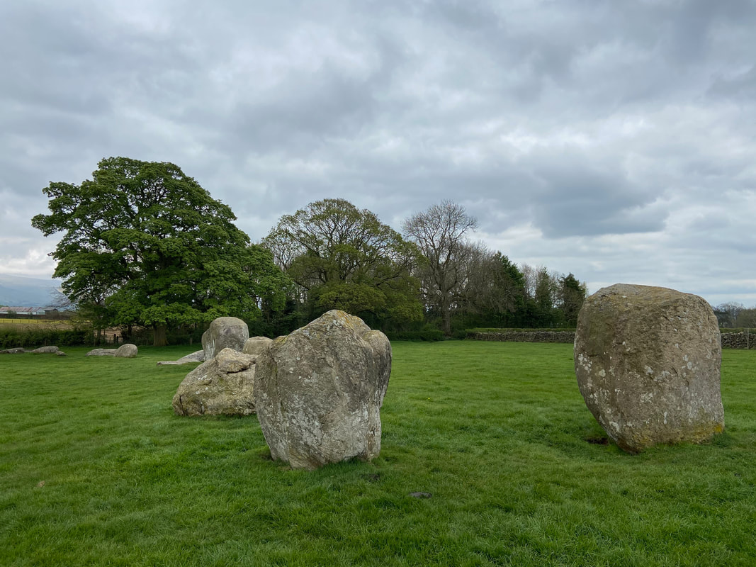
One of the finest stone circles in the north of England, Long Meg and Her Daughters has a diameter of about 350 feet. Long Meg is the tallest of the 69 stones and stands about 12 feet high and is adorned with three mysterious symbols (see pic below). Its four corners face the points of the compass and stand some 60 feet outside the circle. The stones probably date from about 1500 BC, and it was likely to have been used as a meeting place or for some form of religious ritual. Long Meg is made of local red sandstone, whereas the daughters are boulders of rhyolite, a form of rock known as "Shap Granite". Wordsworth wrote "Next to Stonehenge it is beyond dispute the most notable relic that this or probably any other country contains." Local legend claims that Long Meg was a witch who with her daughters, was turned to stone for profaning the Sabbath as they danced wildly on the moor. The circle is supposedly endowed with magic, so that it is impossible to count the same number of stones twice, but if you do then the magic is broken.
One of the finest stone circles in the north of England, Long Meg and Her Daughters has a diameter of about 350 feet. Long Meg is the tallest of the 69 stones and stands about 12 feet high and is adorned with three mysterious symbols (see pic below). Its four corners face the points of the compass and stand some 60 feet outside the circle. The stones probably date from about 1500 BC, and it was likely to have been used as a meeting place or for some form of religious ritual. Long Meg is made of local red sandstone, whereas the daughters are boulders of rhyolite, a form of rock known as "Shap Granite". Wordsworth wrote "Next to Stonehenge it is beyond dispute the most notable relic that this or probably any other country contains." Local legend claims that Long Meg was a witch who with her daughters, was turned to stone for profaning the Sabbath as they danced wildly on the moor. The circle is supposedly endowed with magic, so that it is impossible to count the same number of stones twice, but if you do then the magic is broken.
Another view of Long Meg, this time with the 3 mysterious symbols in view.
Stony faced silence amongst the offspring
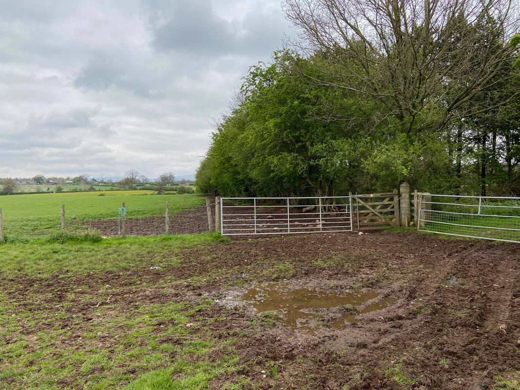
From Long Meg the route crossed this muddy mess to leave the field via the hand gate
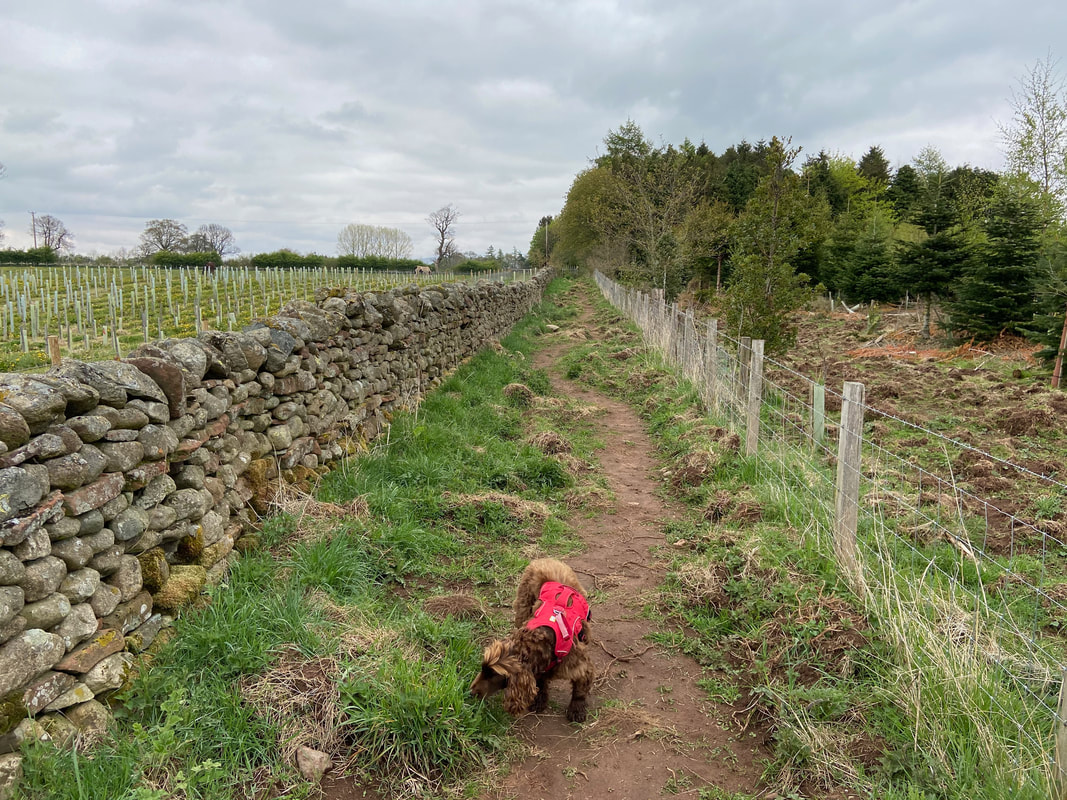
Thankfully the terrain improved once we passed through the gate as we headed along field & hedge lined paths towards Glassonby. Fudge has clearly found something very interesting to sniff at.
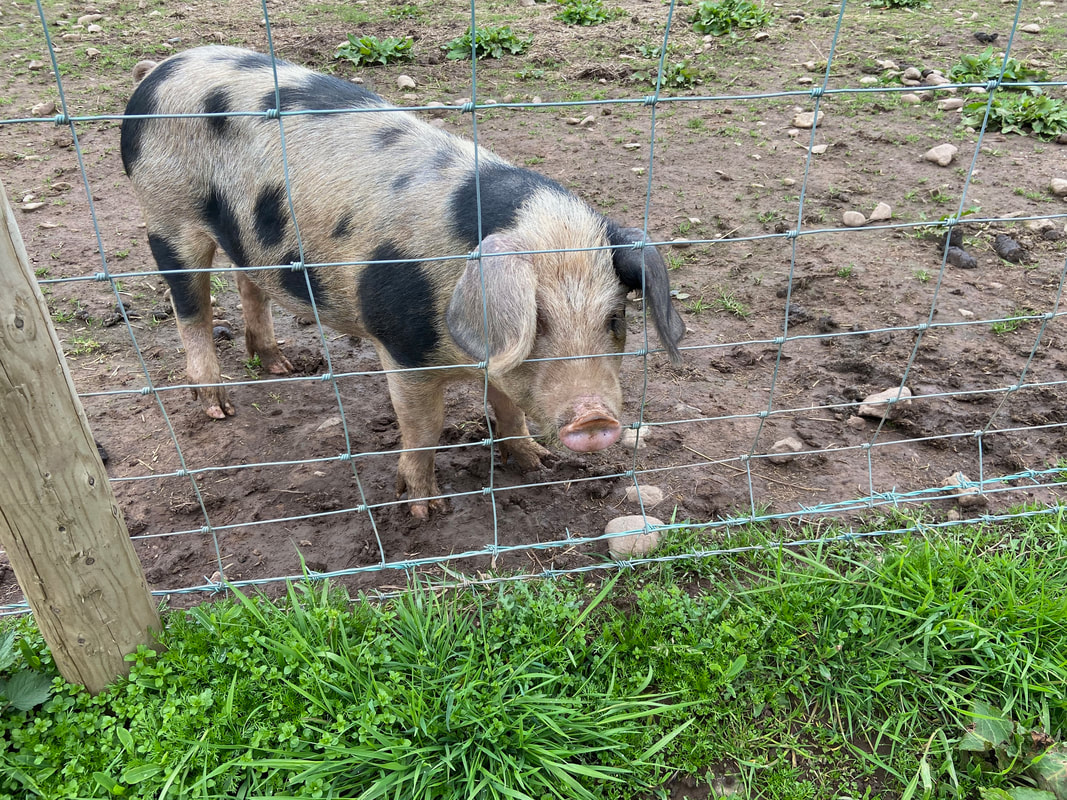
Either side of the hedge lined path were the pig pens of Maughanby Farm. This inquisitive swine is a Gloucester Old Spot and was very friendly.
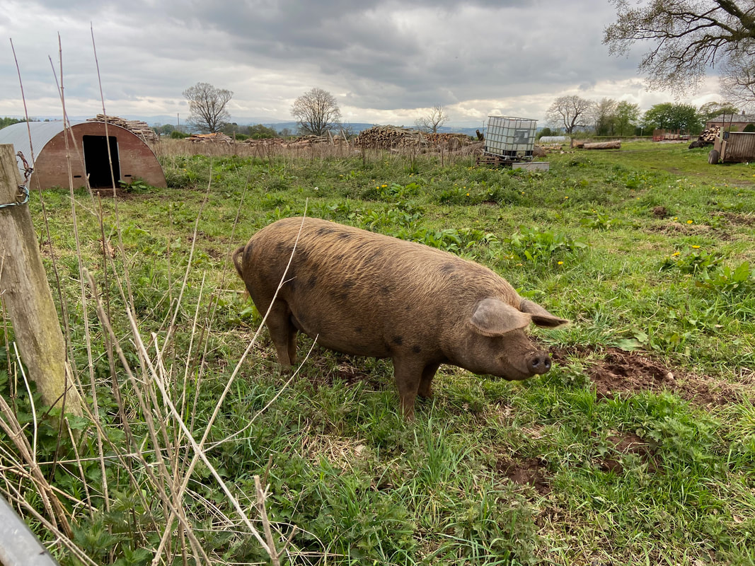
Over on the other side of the fence was this Oxford Sandy & Black. He appeared as happy as a pig in shit - which of course he was.
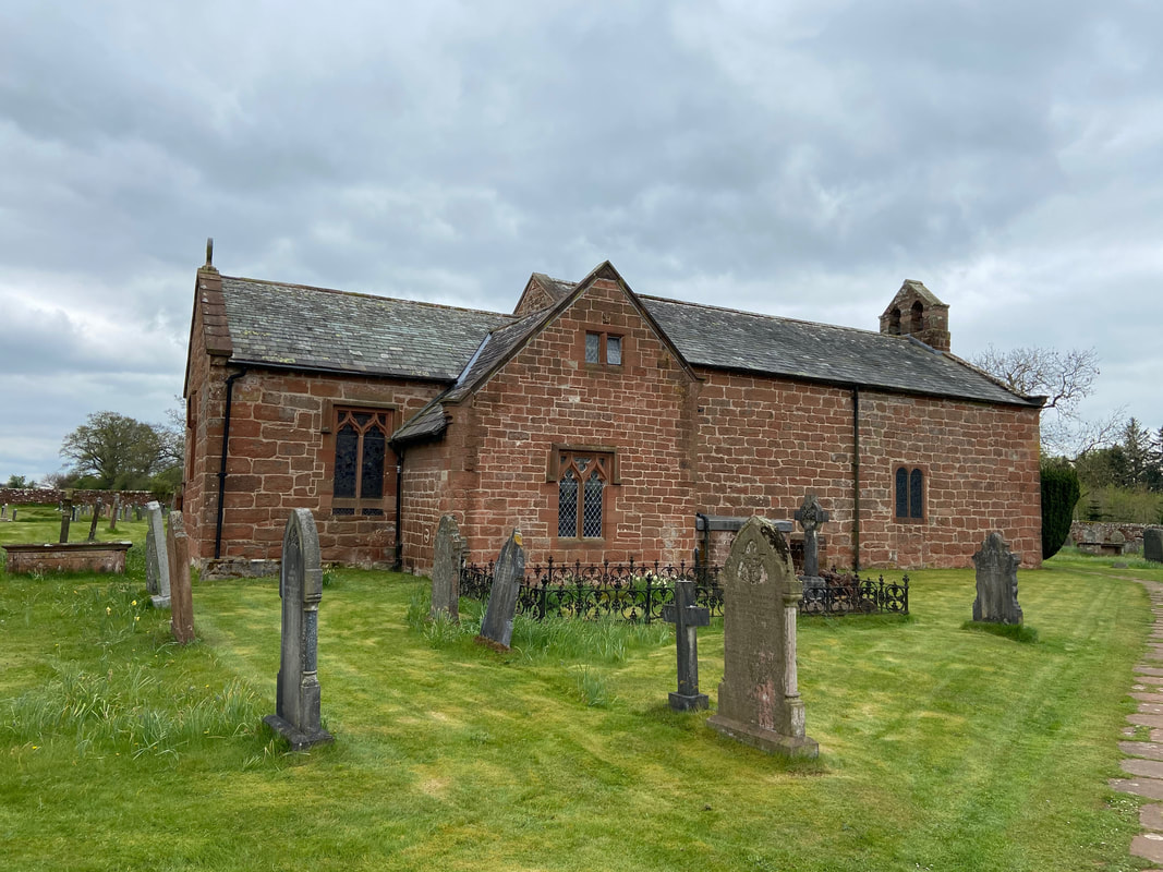
The Church of St Michael and All Angels at Addingham. The church is situated about a mile south of the village of Glassonby and although Addingham is an Anglo-Saxon settlement, there hasn’t been a village here since the 14th Century when the River Eden changed its course and washed the village away.
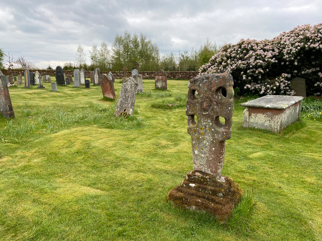
The 'Addingham Cross' is a late 10th or early 11th century Saxon stone cross and stands near the church door. The design is an Anglo-Saxon hammer-head with four holes and carved scrolls.
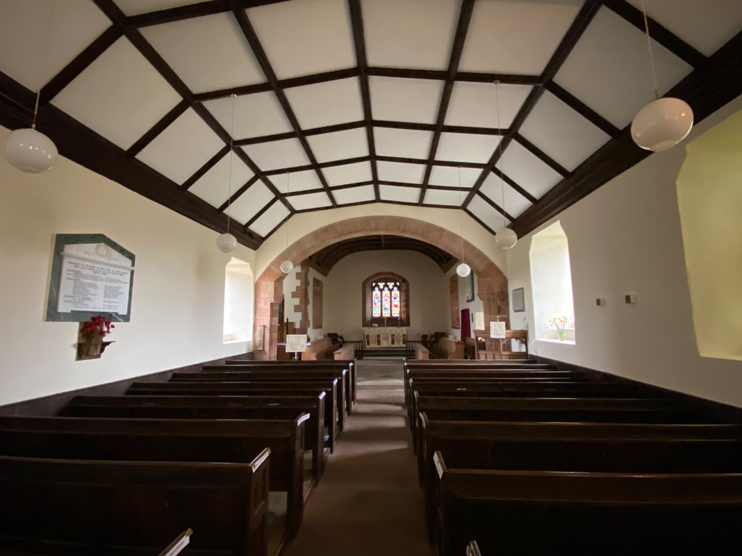
The interior of St Michael & All Angels Church. At the far end of the Church are several stained glass windows, including the modern one by S M Scott depicting St Michael and the Dragon, inserted in 1973.
The village of Glassonby - we would now follow a quiet lane to Daleraven Bridge in the direction of Lazonby
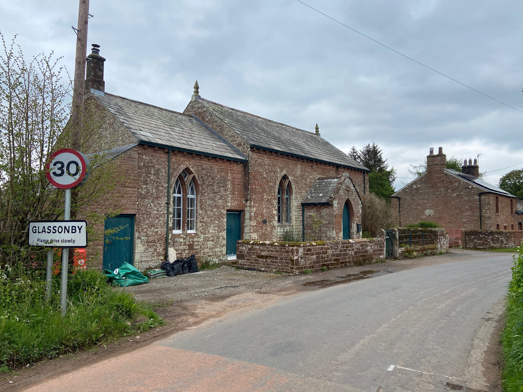
Glassonby Wesleyan Methodist Chapel - they have obviously had a bit of a clear out
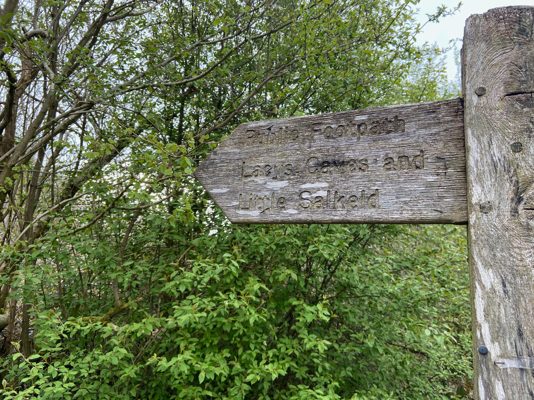
Just before Daleraven Bridge is a sign off to the left to Lacy's Caves
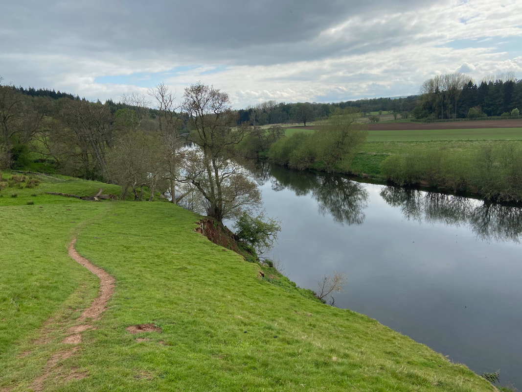
The path to Lacy's Caves handrails the River Eden
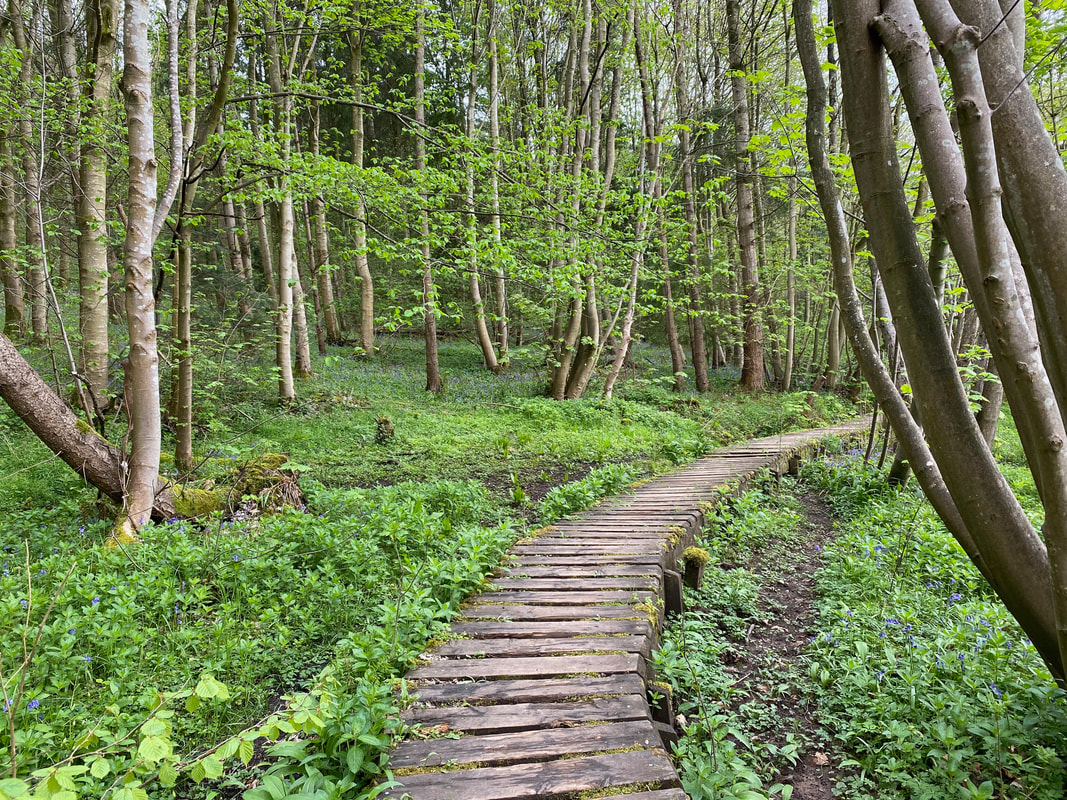
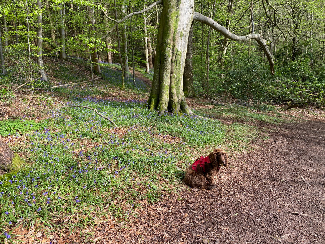
The Bluebells were out as we continued on through Tib Wood
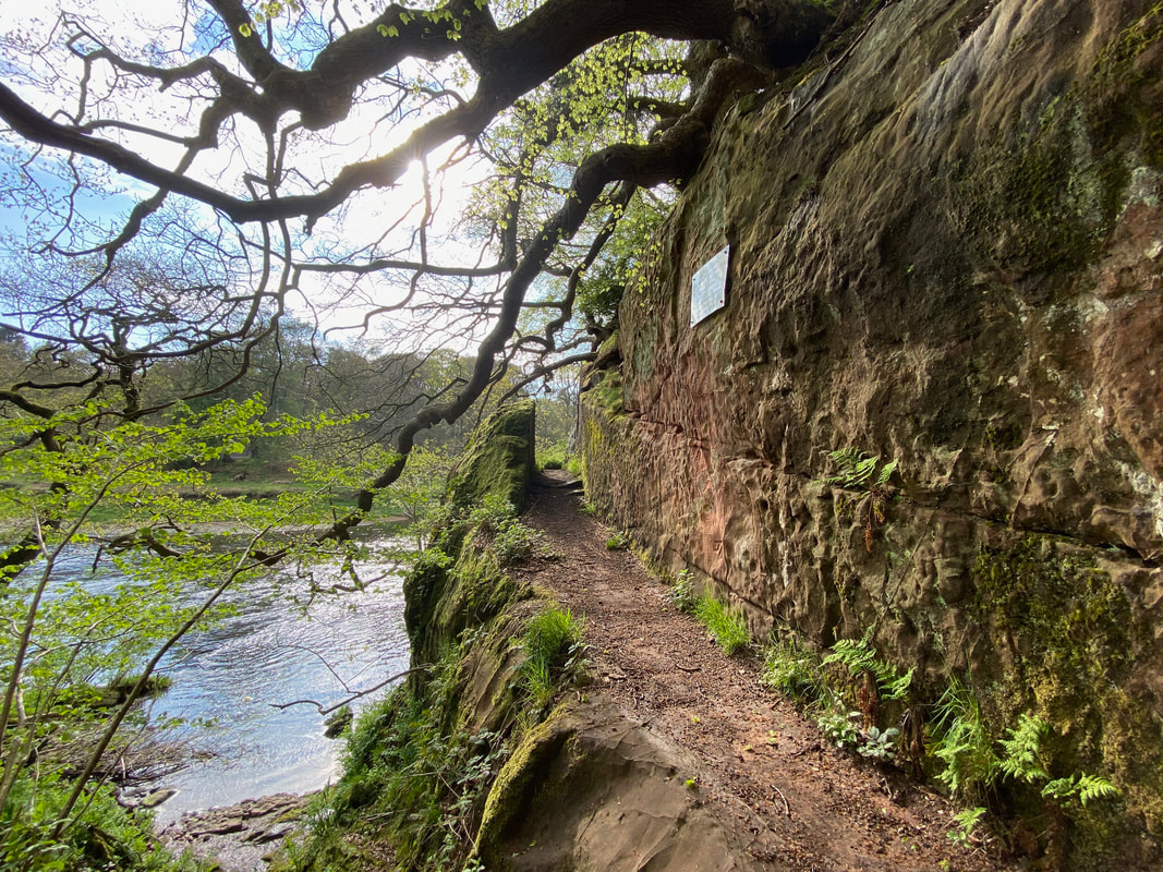
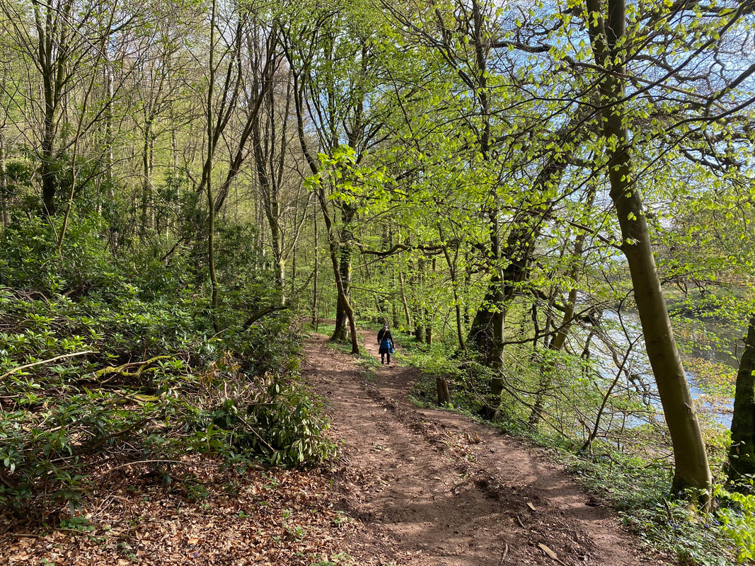
The path to Lacy's Caves is precipitous on one side therefore care needs to be taken, particularly if it is wet and muddy
And to emphasise that very point
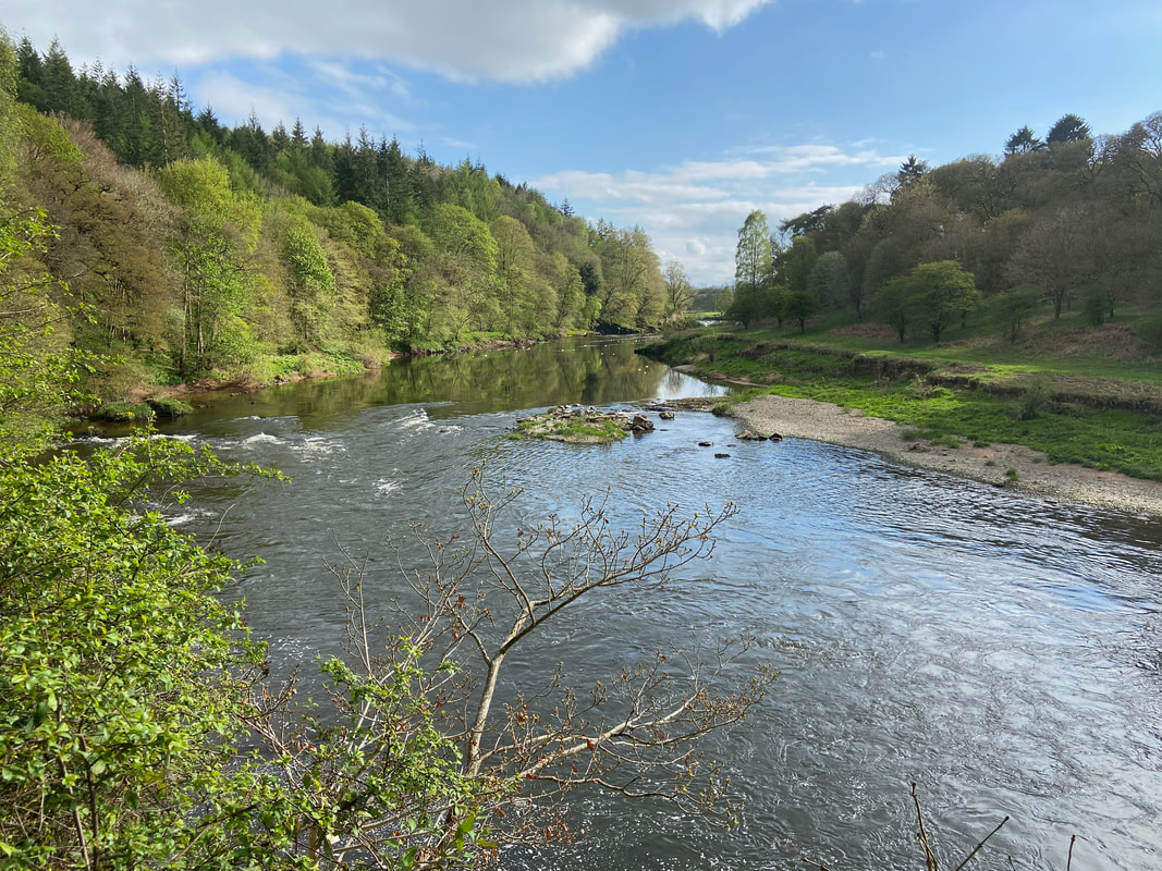
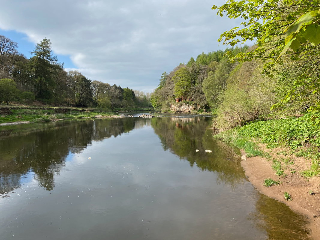
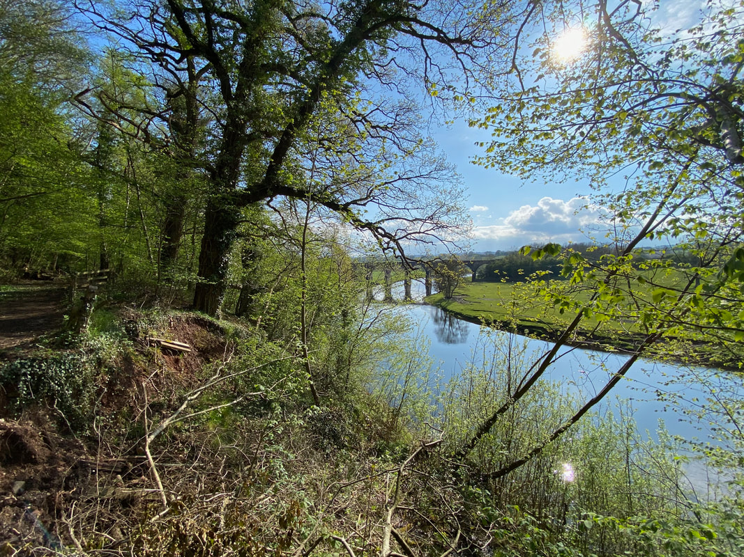
The River Eden from Lacy's Caves
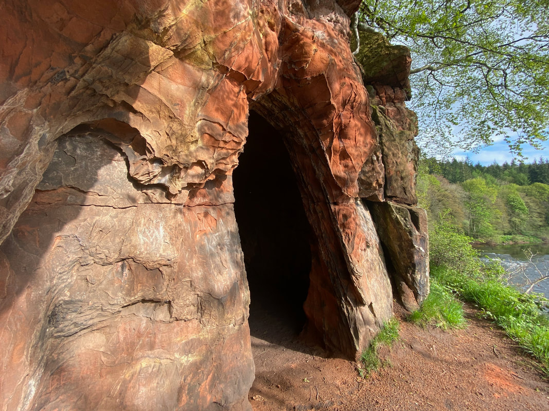
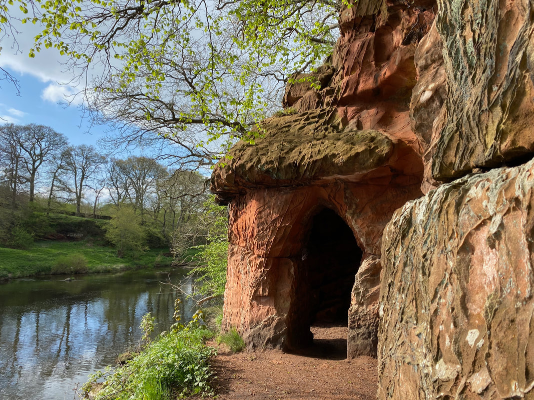
One of several entrances to Lacy's Caves. Colonel Lacy of nearby Salkeld Hall, famous for once trying to blow up the stones of Long Meg Stone Circle carved five chambers out of these sandstone cliffs. Legend has it is he was possibly trying to emulate the caves at nearby Wetherall, further up the River Eden. It was fashionable to have romantic ruins at that time, or they may have been built as a wine store. Colonel Lacy used to entertain guests here, and the area was planted with gardens. The rhododendrons and laburnams still flower every spring.
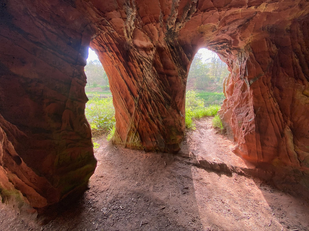
Nice view from the wine store!
Another of the ornate entrances to the chambers - what a spot to entertain one's friends.
Meanwhile my friend sat amongst the bluebells looking extremely impatient and clearly wanting to crack on
From Lacy's Caves the route continued along the Eden through the appropriately named Cave Wood
A last look at Lacy's Caves from the banks of the River Eden
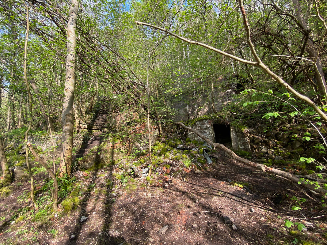
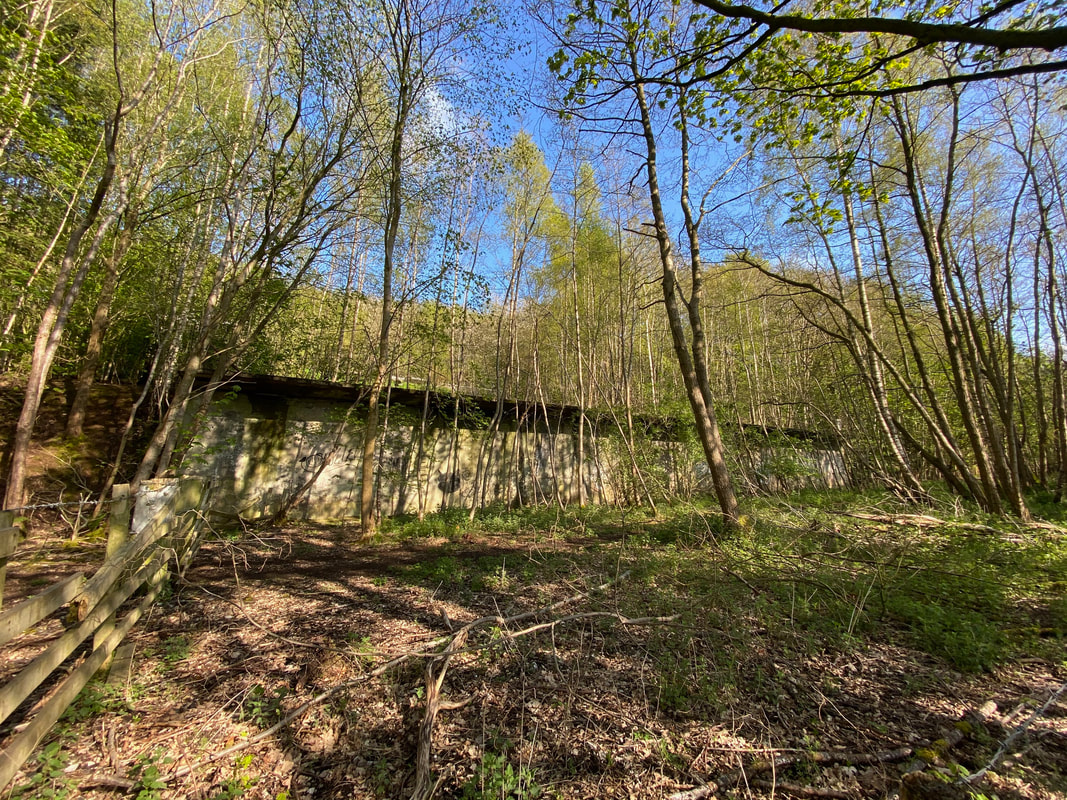
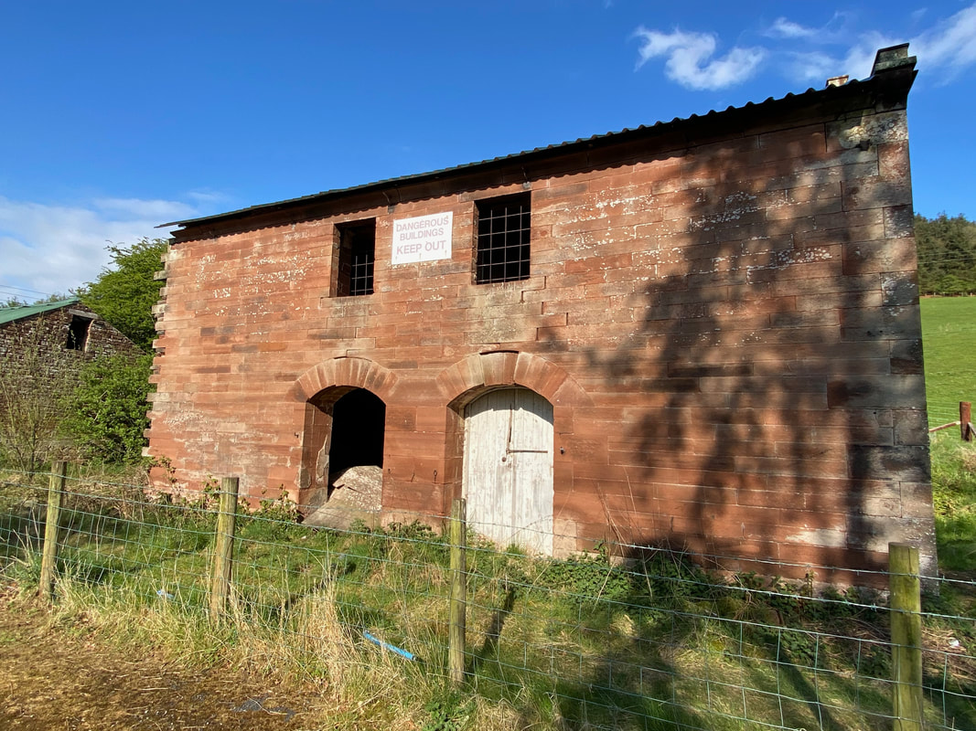
The abandoned and derelict buildings of the Longmeg Mine. Mining began around 1880 and closed in 1915 only be re-opened in 1922. In 1939 it was sold to a company which eventually became British Gypsum. The mine finally closed in 1979 having produced over five million tons of anhydrite during its operational life. Sadly the buildings and area have fallen into decline and will soon be overgrown judging by the state of them.
From the mine buildings a viaduct over the River Eden comes into view. The viaduct carries the line of the Settle to Carlisle Railway.
Longmeg Sidings as we head back to Little Salkeld
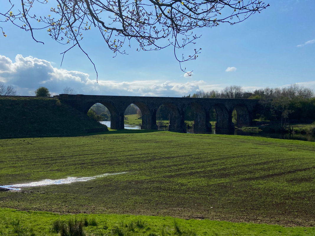
A clearer view of the viaduct carrying the Settle to Carlisle Railway
And we did!
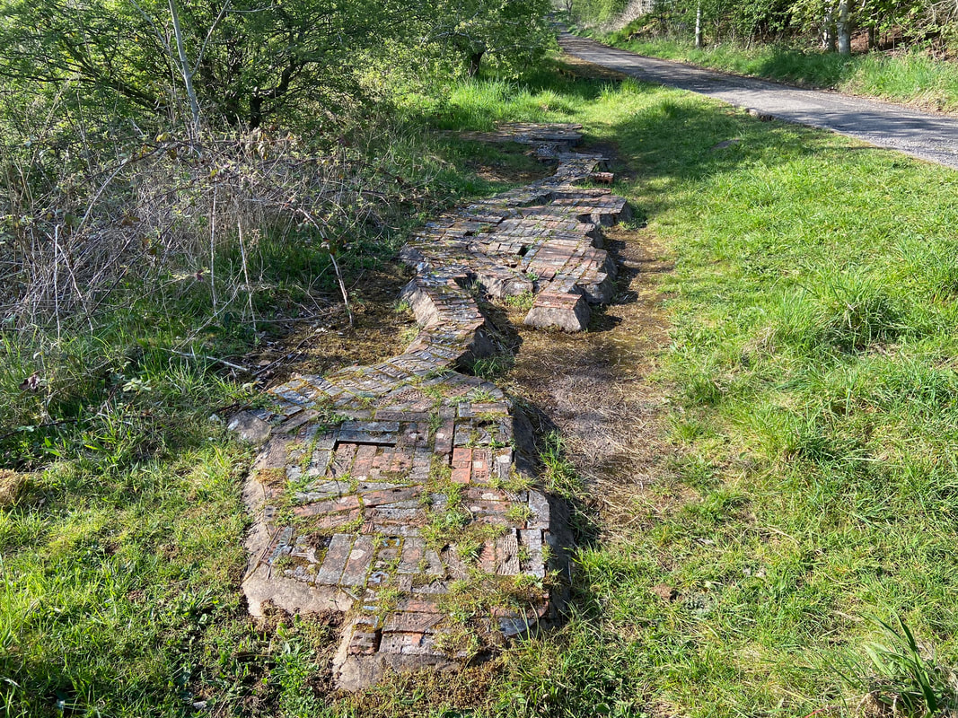
Just after Longmeg Sidings we came across this curious structure. On closer inspection it looks like it was constructed from old bricks which presumably came from the nearby Longmeg Mine. It is a representation in miniature of the course of the River Eden with the names of the towns & villages clearly marked (Culgaith, Langwathby etc).
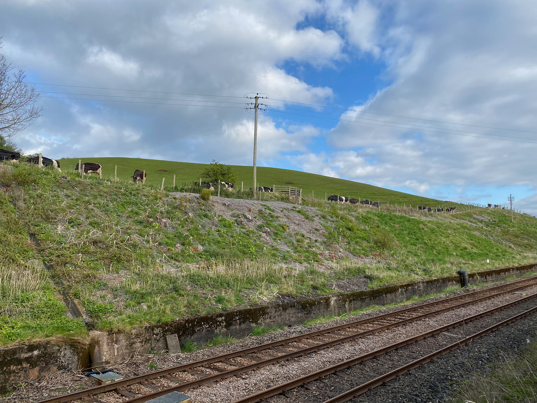
We are stood here on a bridge on the other side of the Settle to Carlisle Railway line near Little Salkeld. We are actually off route because the cows pictured here are on our path and we therefore thought it best to let them pass as it would have been pretty daft to try and dodge in and out of them on a lane. After about 15 minutes they all moved into an adjacent field and we proceeded on our way - therefore instead of dodging cows on the lane we spent a glorious 20 minutes or so dodging large dollops of cow shit.
