Seat Sandal, Fairfield, Great Rigg, Heron Pike & Nab Scar - Thursday 19 January 2023
Route
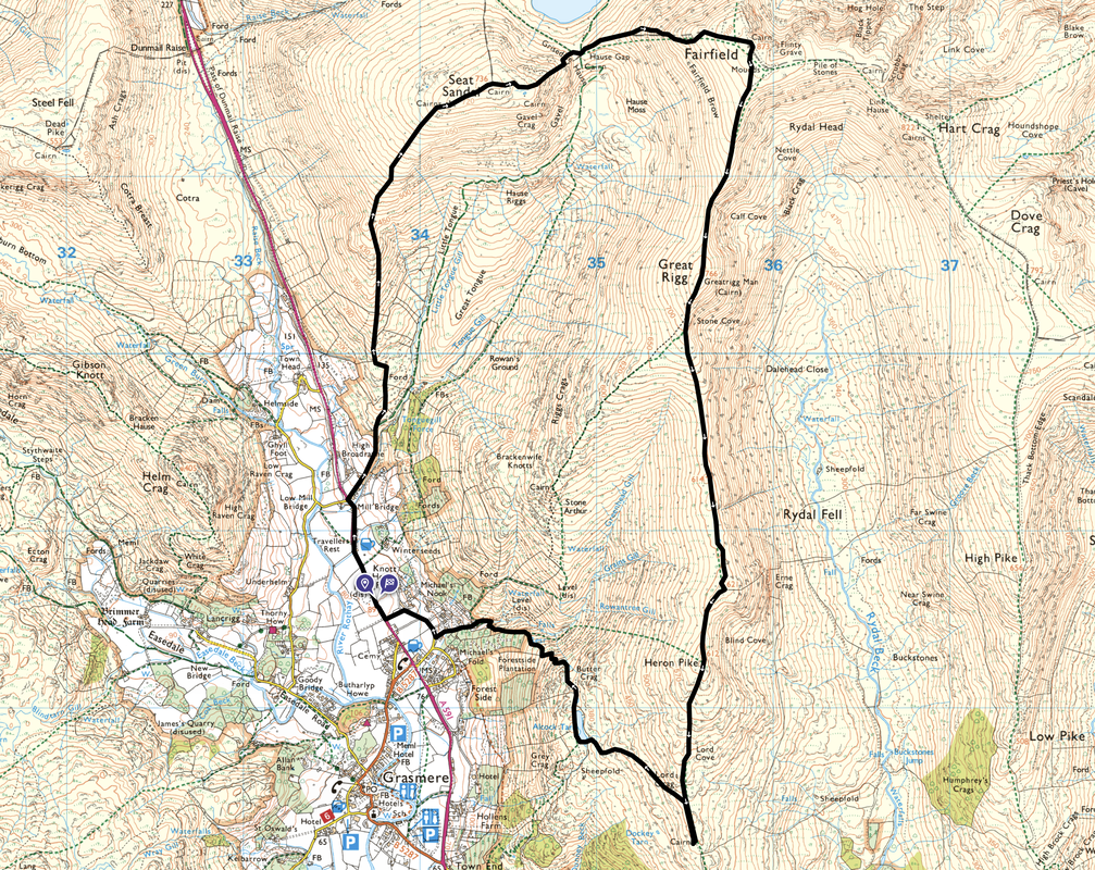
Grasmere - Mill Bridge - Tongue Gill - Seat Sandal - Grisedale Hause - Fairfield - Great Rigg - Heron Pike North Top - Heron Pike - Nab Scar - Alcock Tarn - Grasmere
Parking
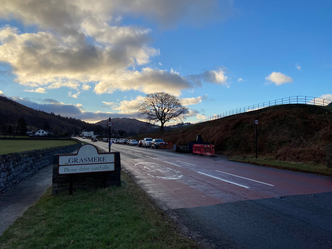
Verge parking on the right hand side of the A591 as the road enters Grasmere from the north. The Grid Reference is NY 33772 08543 and the nearest postcode is LA22 9RG.
Mileage
9 miles
Terrain
Good mountain paths throughout. The descent from Seat Sandal is steep therefore care needs to be taken, particularly in snow and ice. The ground for the most part was frozen throughout therefore micro spikes were worn for large sections of the walk.
Weather
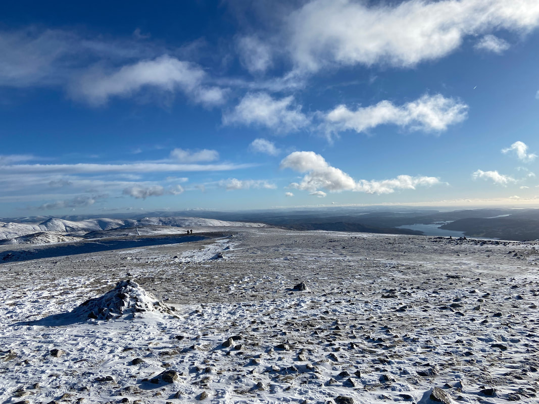
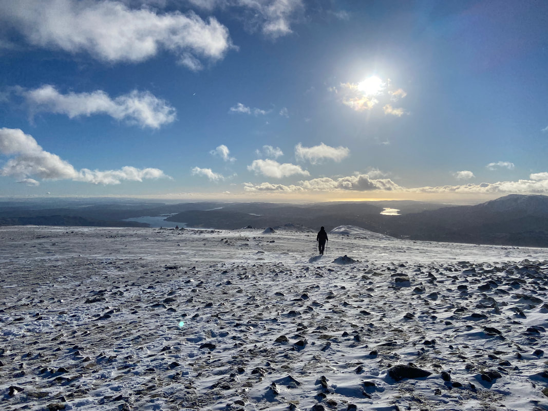
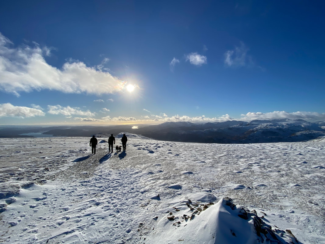
Gloriously sunny with excellent visibility however it was bitterly cold on the ridges. The summit of Fairfield is a confusing place in mist therefore ensure you are able to navigate in poor visibility.
Time Taken
7hrs
Total Ascent
3277ft (999m)
Wainwrights
5
Map
OL5 - The English Lakes - North Eastern Area
Walkers
Dave, Angie & Fudge with Malcolm Summers, Peter Moore & Poppy
|
GPX File
|
| ||
If the above GPX file fails to download or presents itself as an XML file once downloaded then please feel free to contact me and I will send you the GPX file via e-mail.
Route Map
The walk started from the free verge parking area on the A591 as the road enters Grasmere from the north. There is plenty of parking in Grasmere should no spots be available here. We would be joined today by friends Malcolm, Peter and Poppy the Labrador.
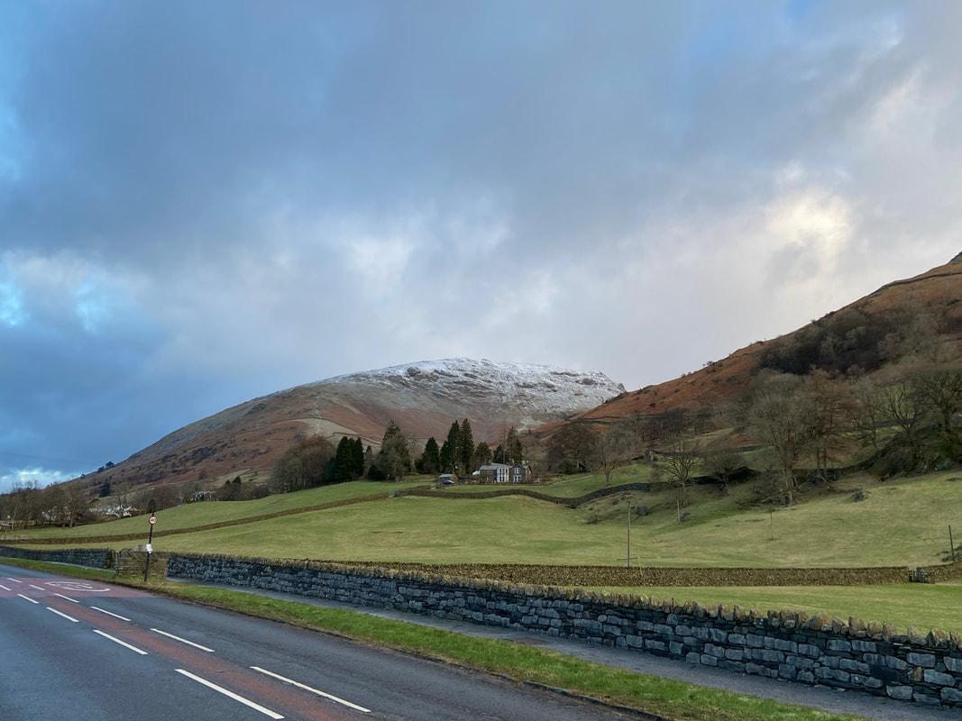
Seat Sandal from the A591 with our route of ascent clearly visible
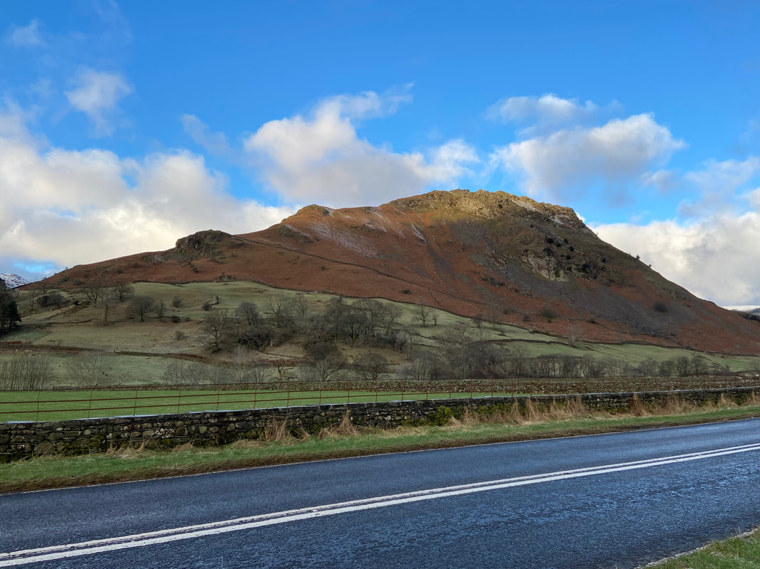
On the other side of the A591 sits Helm Crag
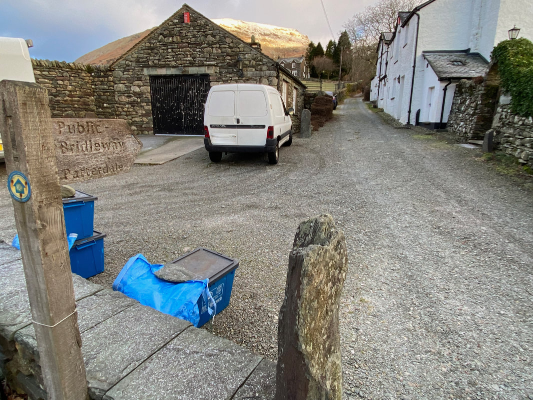
From Grasmere the route heads along the A591 towards Keswick and at Mill Bridge turns right to follow the Coast to Coast route in the direction of Patterdale
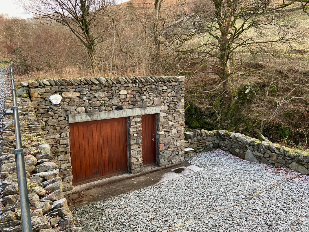
Tongue Gill Hydro which was completed in 2014 and has been sympathetically blended into the landscape. Due to the large catchment area for rainfall for the Tongue Gill Scheme, the generator is normally generating to its full capacity, with it switching off only in the driest periods.
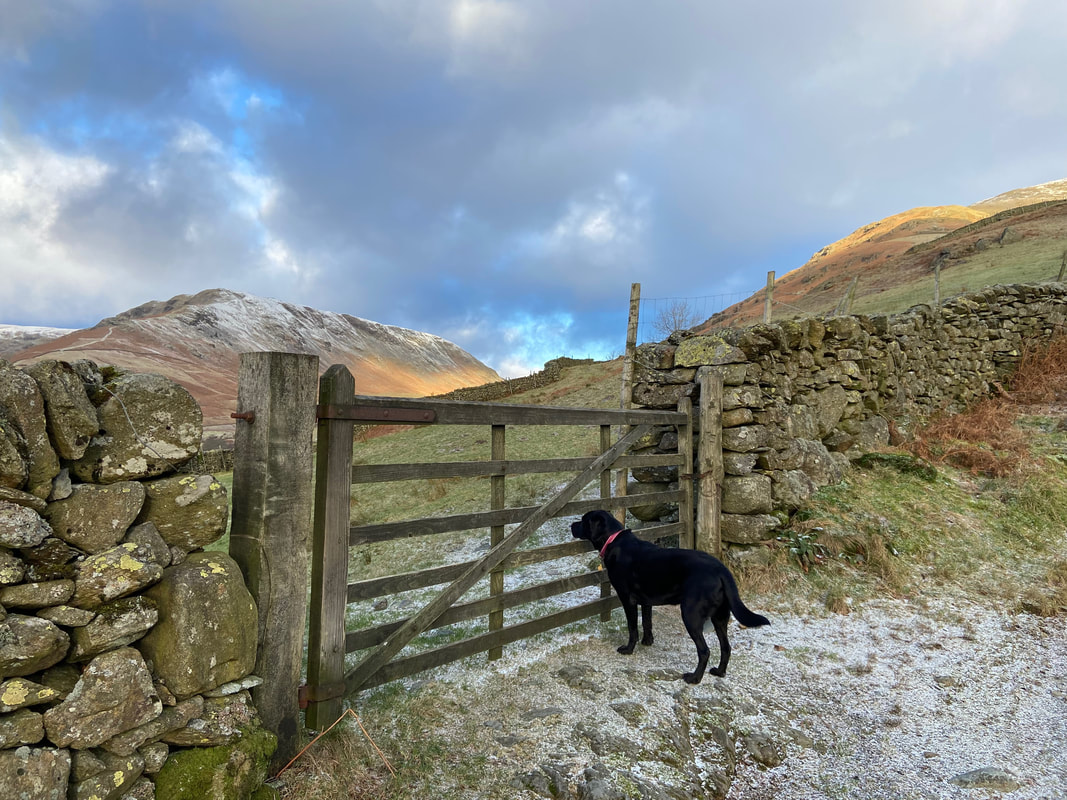
Approximately 1/4 a mile up the track from Tongue Gill Hydro a gate on the left near an old field barn gives access to the open fell side. It should be noted that the path on the other side of the gate is not detailed on the OS Map but is there on the ground.
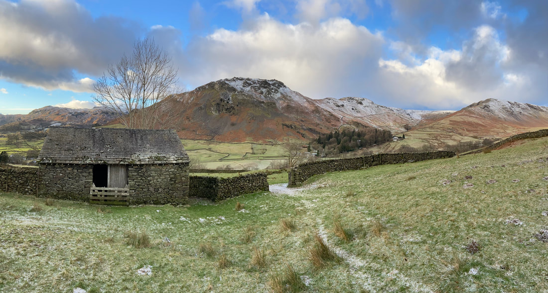
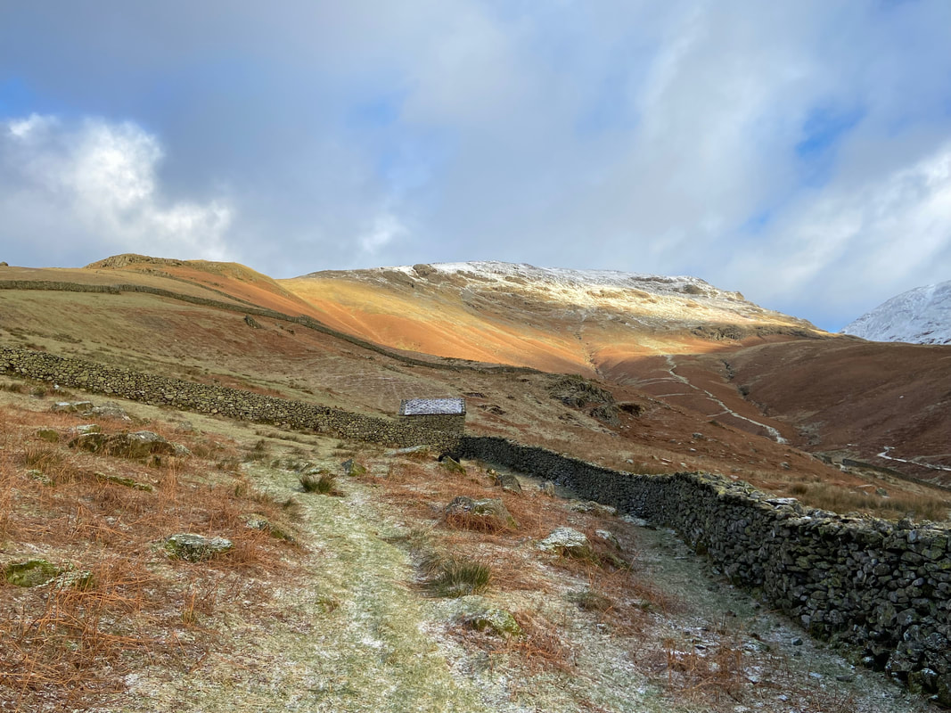
The old field barn looking to Helm Crag, Gibson Knott & Steel Fell
Seat Sandal's south ridge over to the left which would be our route today. The path on the right is the Little Tongue path which leads to Grisedale Hause.
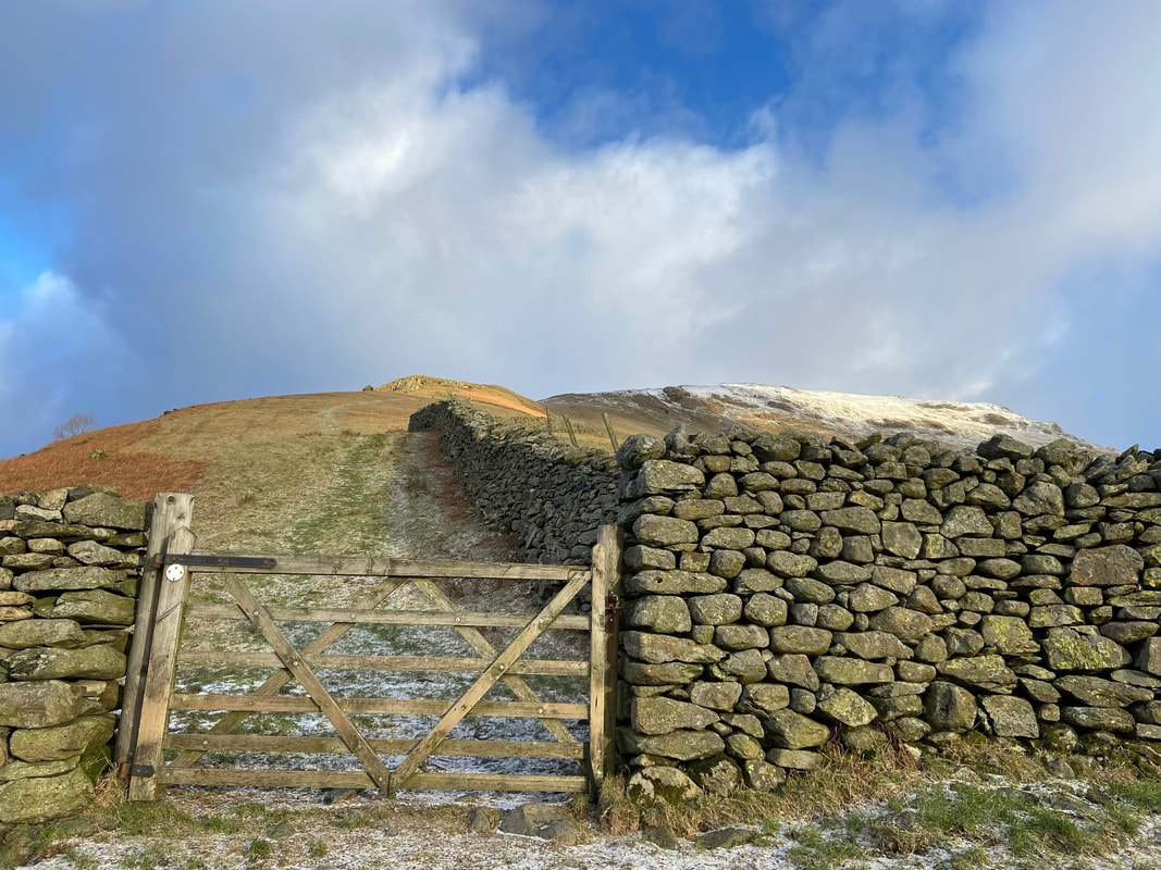
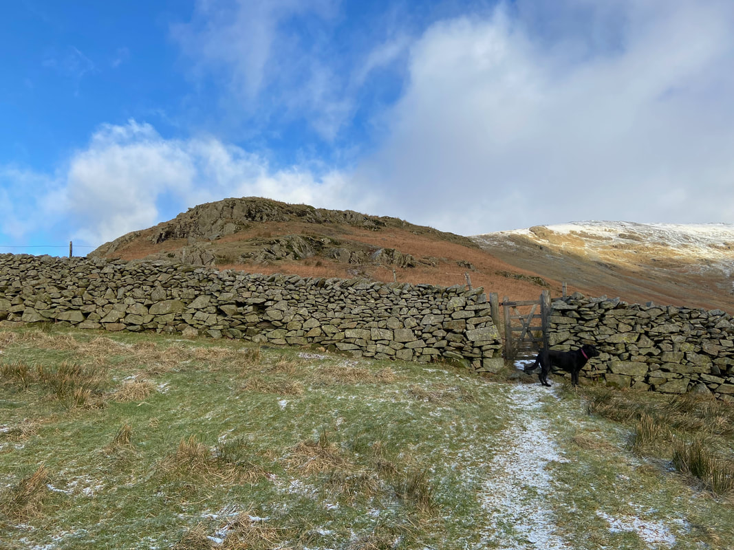
Another gate gives access to the lower slopes of the south ridge
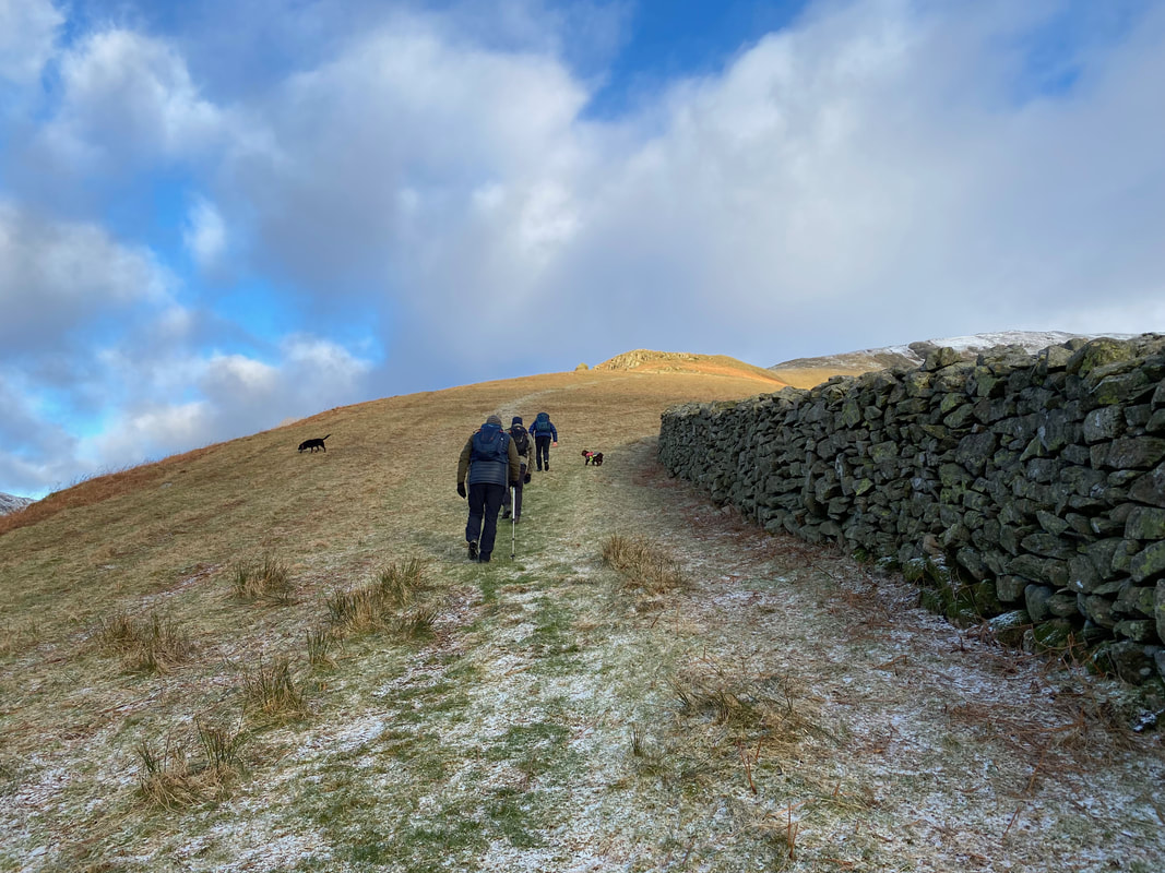
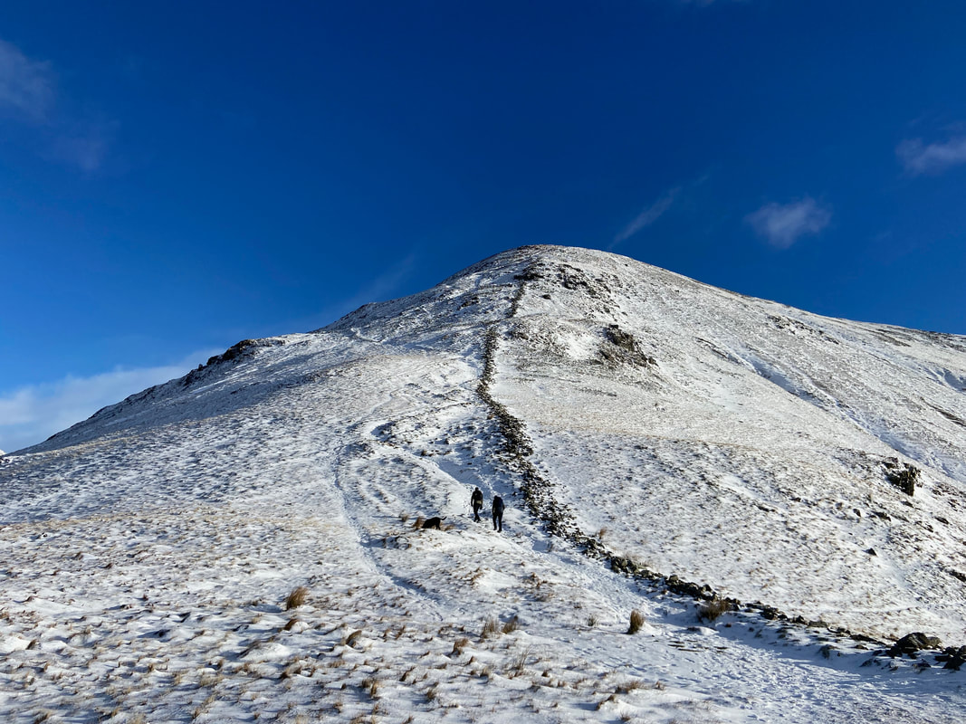
Heading up the south ridge of Seat Sandal
Peter, Angie & Malcolm take a break as we continue up the ridge
Helm Crag with a dusting of icing sugar
Near a couple of rocky outcrops a hand gate gives access to the upper part of the south ridge. The onward route passes to the right beneath the upper of the two outcrops.
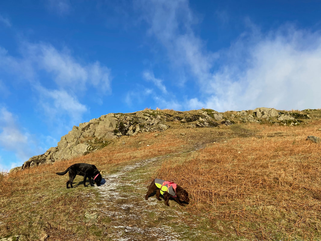
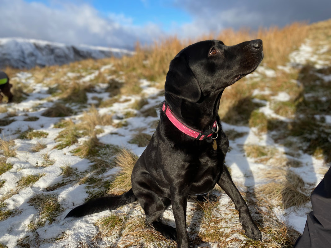
Poppy & Fudge enjoy one of the many "sniff offs"
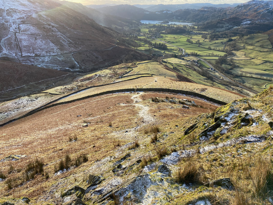
Looking back down to the hand gate and our route of ascent
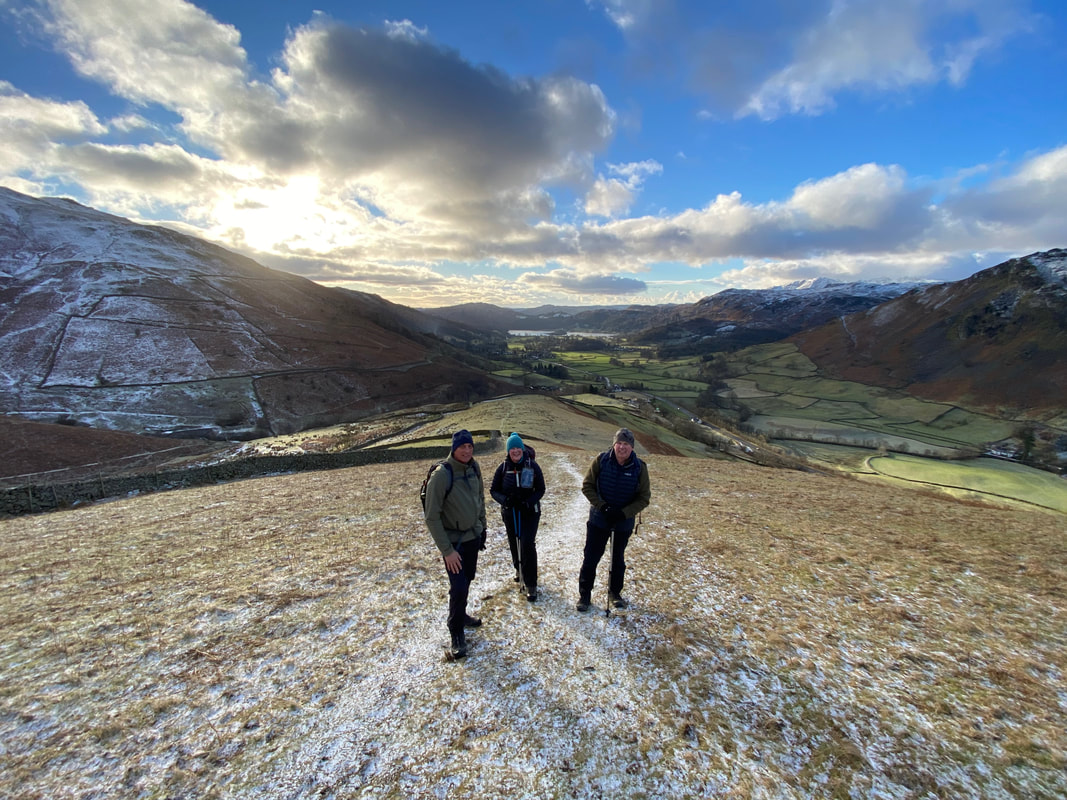
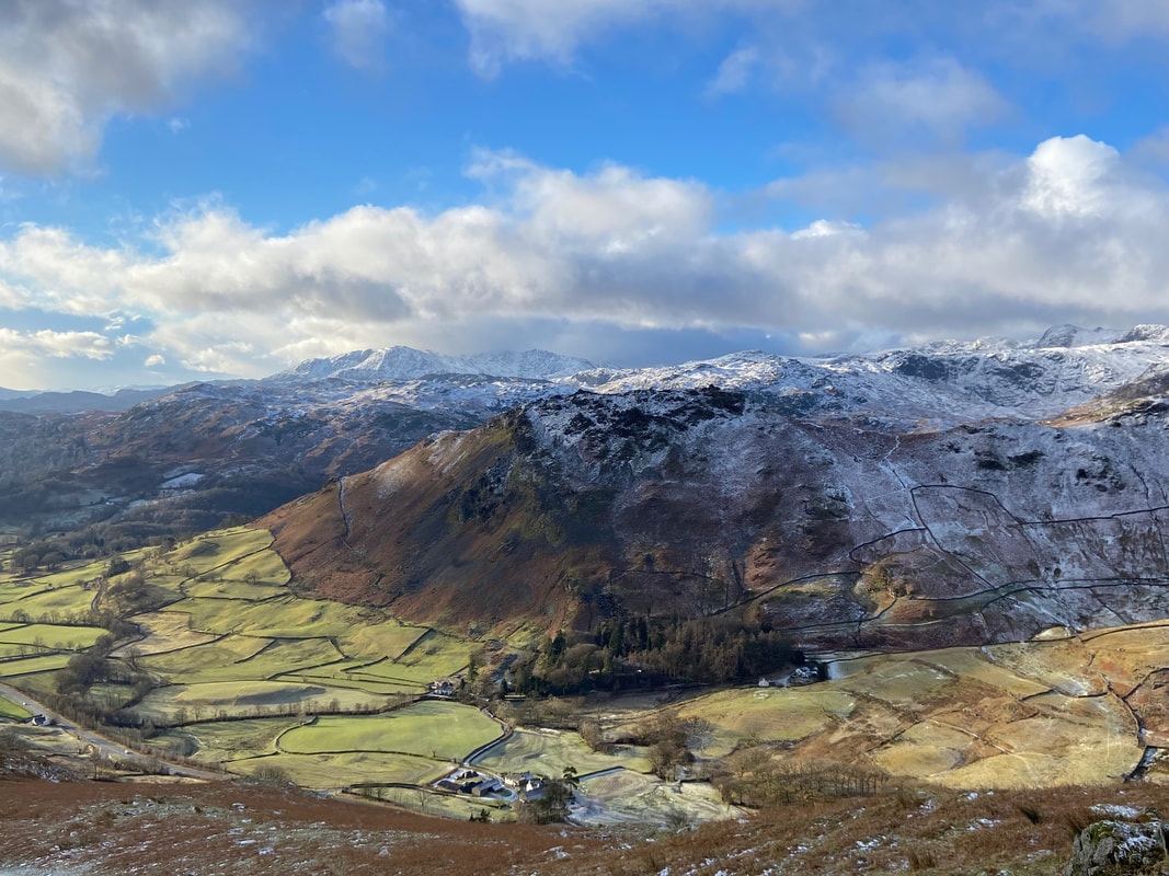
Gaining height, the views really do open out as we look over to Helm Crag & the Coniston Fells
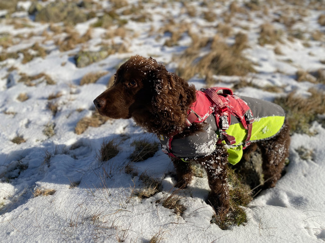
Two happy dogs who were really enjoying their day on the fells
More snow on the ground now as we continue to climb the south ridge of Seat Sandal
Steel Fell with Ullscarf to the right and High Raise over to the left
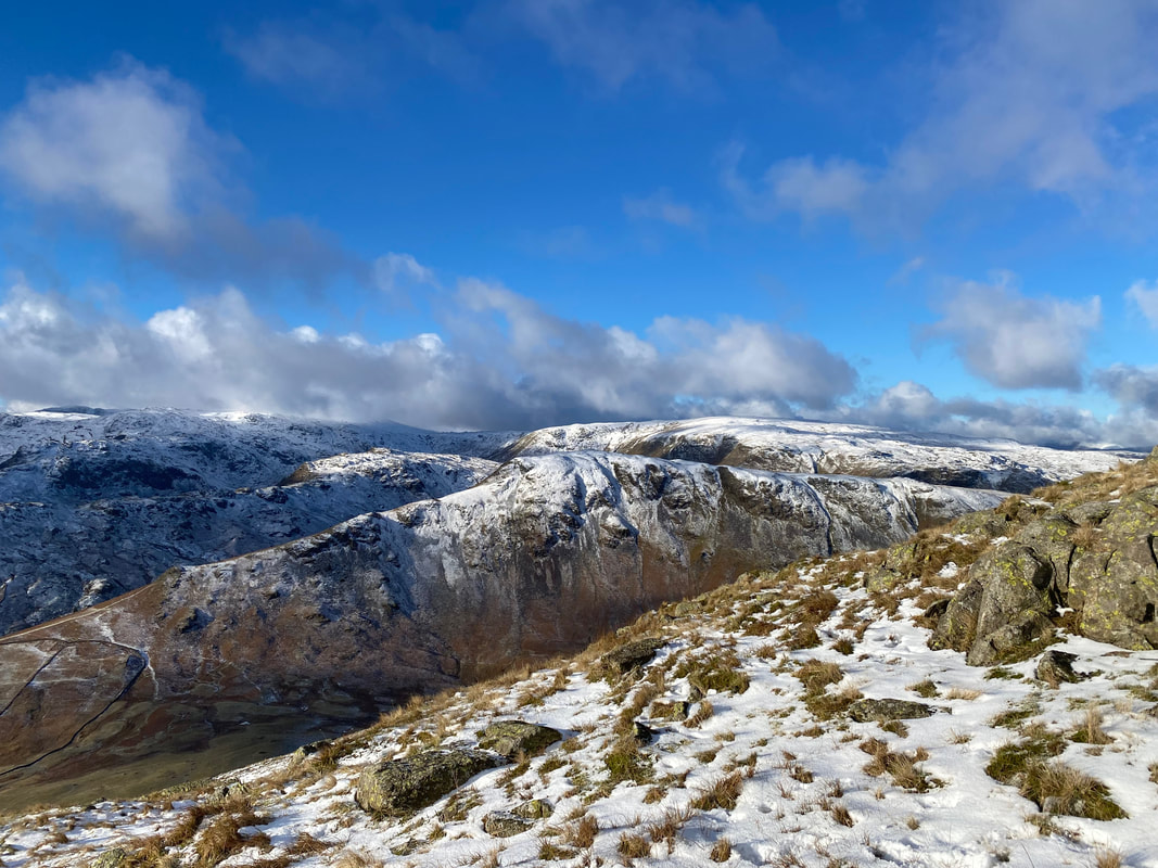
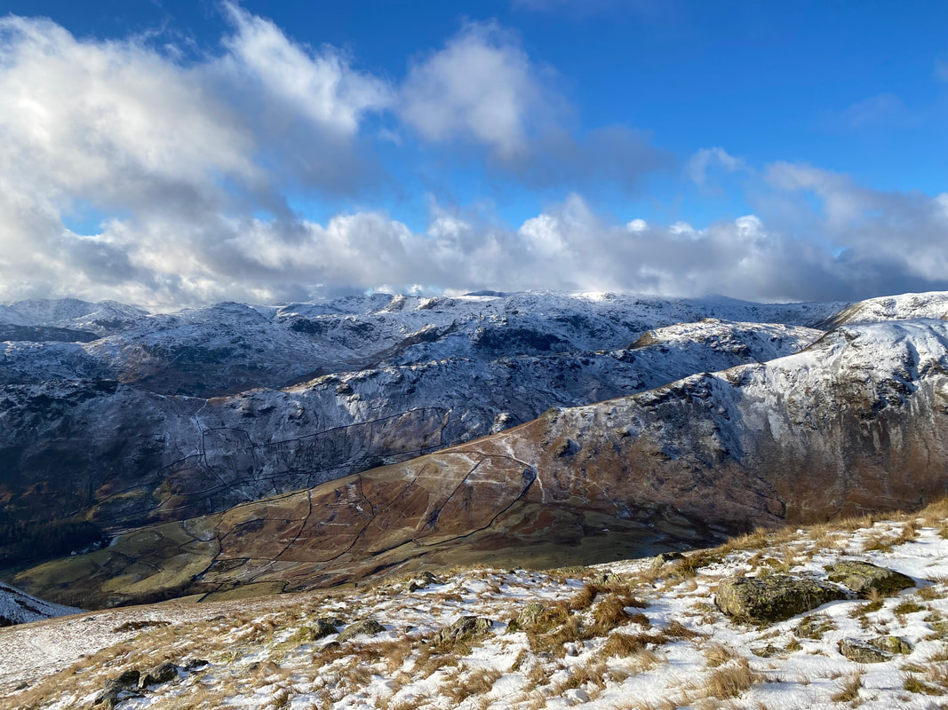
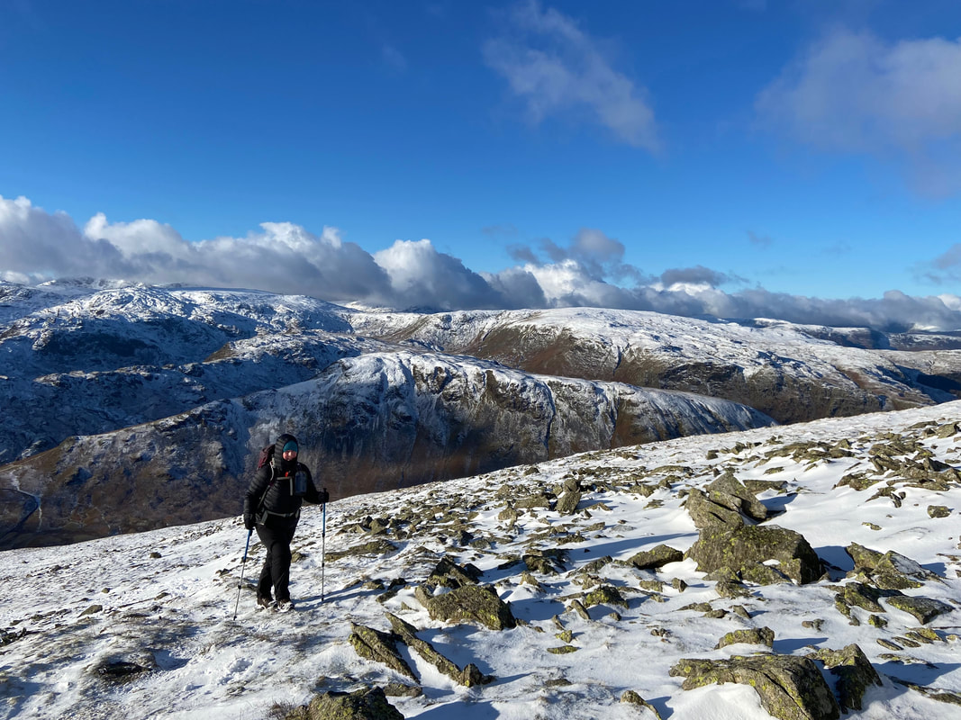
Layers & layers of snowy fells
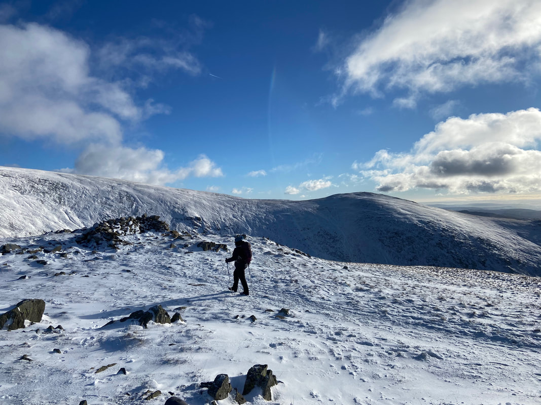
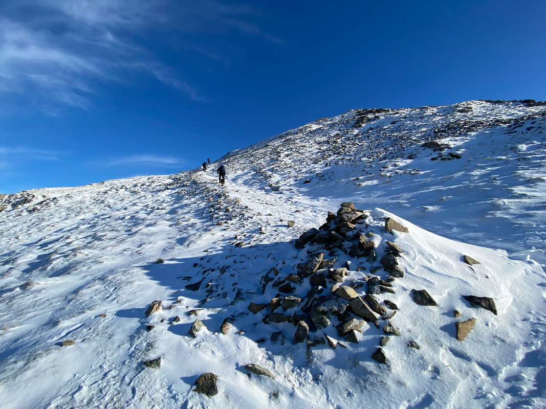
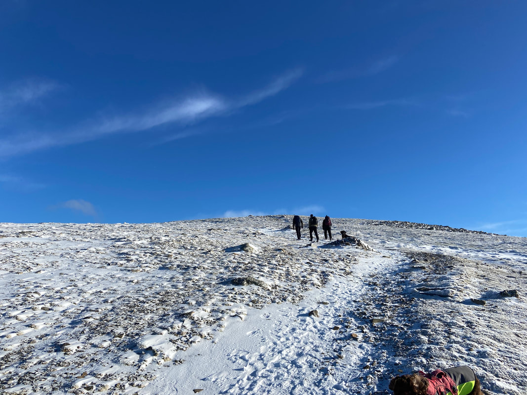
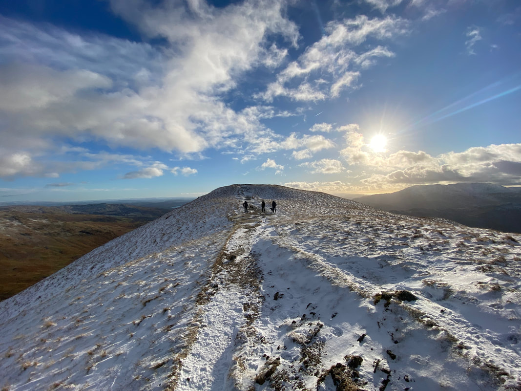
Approaching the summit ridge and it started to get a bit nippy
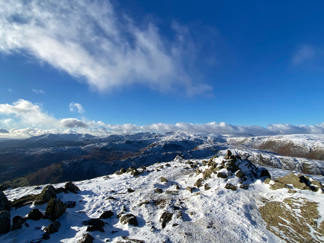
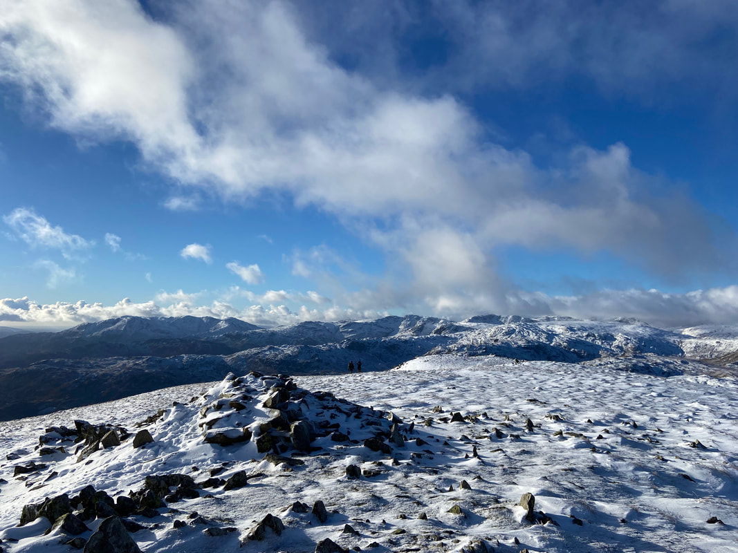
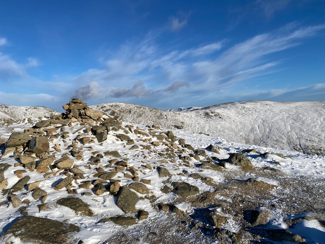
The western cairns on Seat Sandal's summit plateau
From the western cairn it is a leisurely amble of just over 300 yards to reach the summit. The huge bulk of Fairfield is to the rear.
The summit cairn on Seat Sandal. The highest point of the fell is 30 yards to the east.
Angie approaches the highest point of Seat Sandal near the wind shelter
Looking across to Dollywaggon Pike, High Crag & Nethermost Pike from the summit of Seat Sandal. Normally people ascend Dollywaggon Pike from the right via the zig zag path near Grisedale Tarn. Another way of climbing this fell is straight up the nose via the wall in the centre of shot - it is steep but good fun.
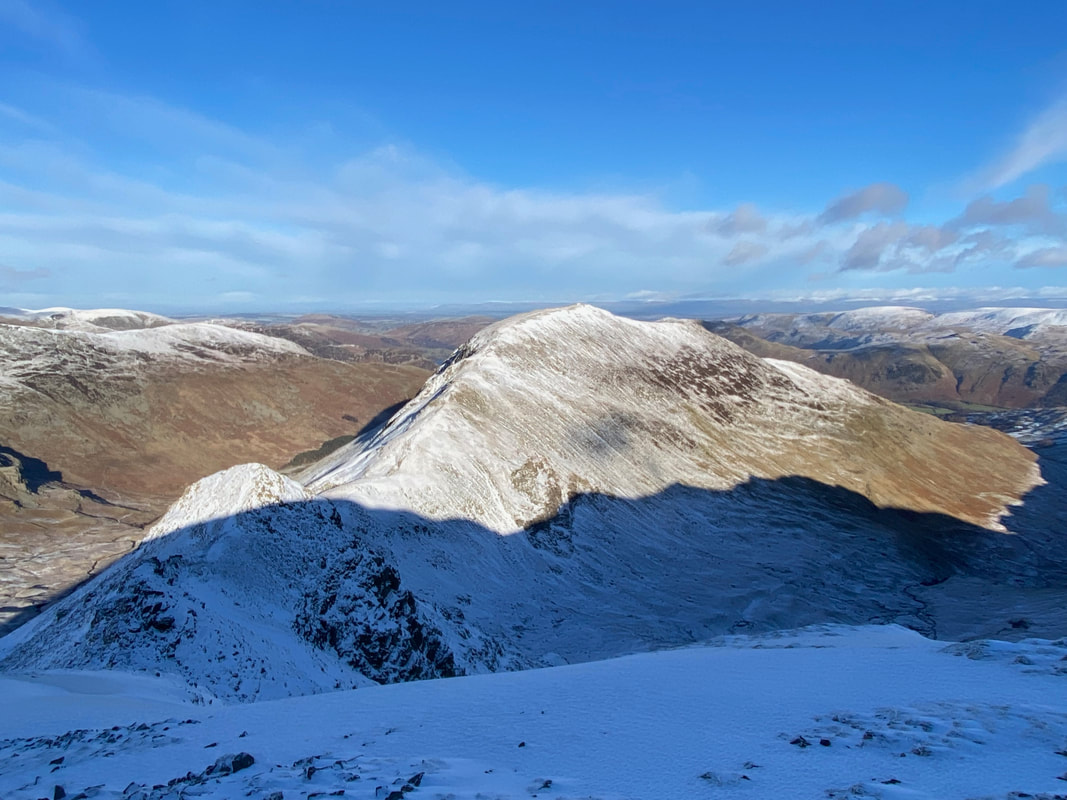
Fairfield from Seat Sandal with Cofa Pike and St Sunday Crag to the left
The summit of Seat Sandal - and what a day to be out
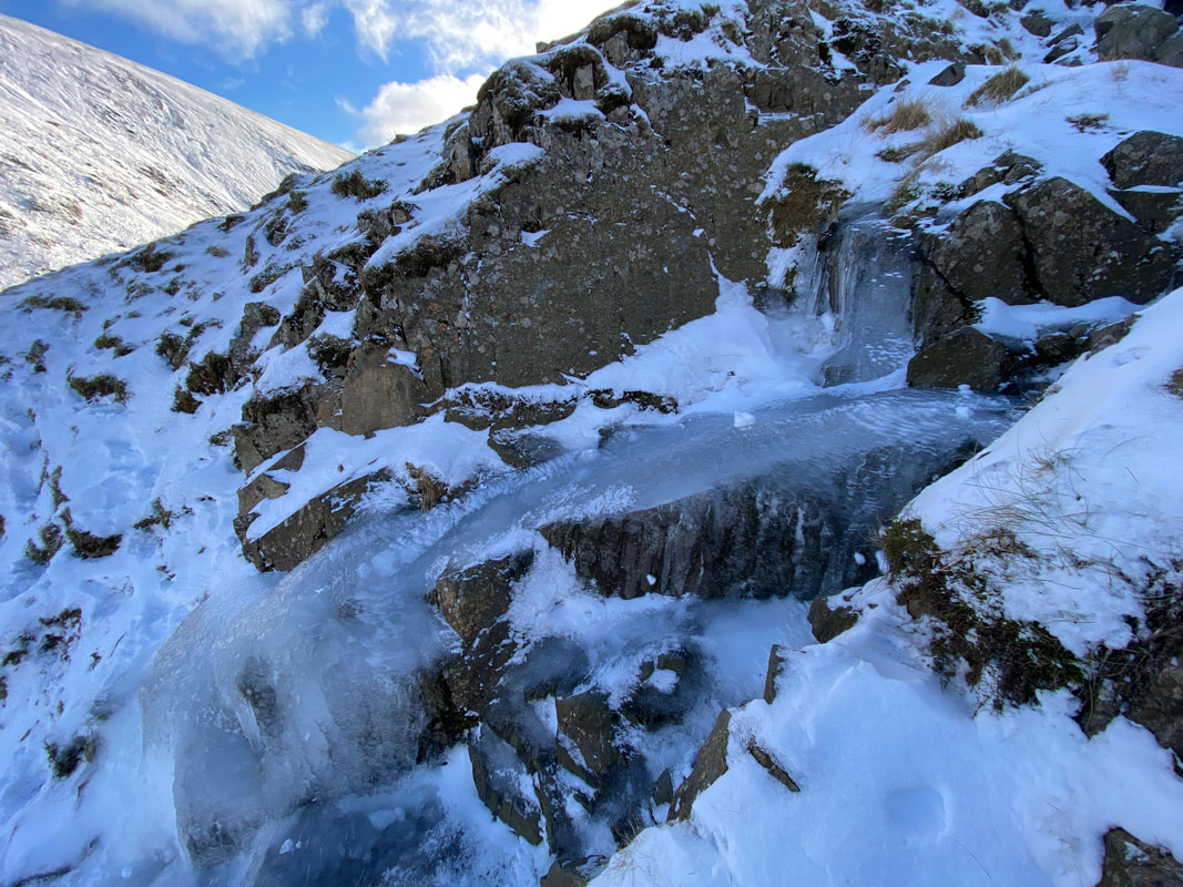
The broken wall that is followed in order to descend Seat Sandal via Grisedale Hause. It was at this point we donned our micro spikes as there was a fair bit of ice about.
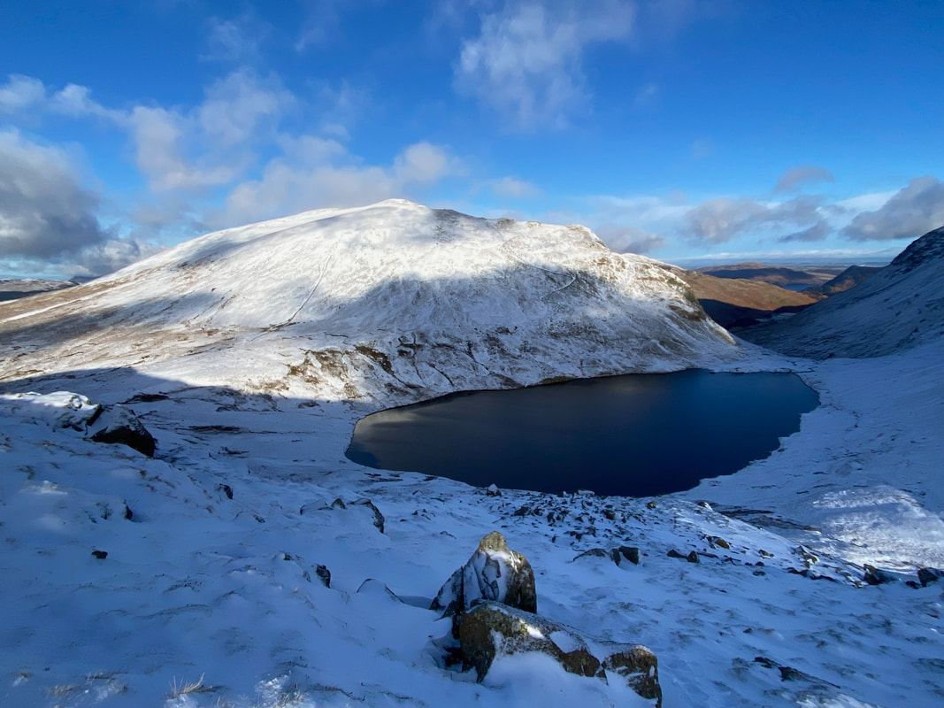
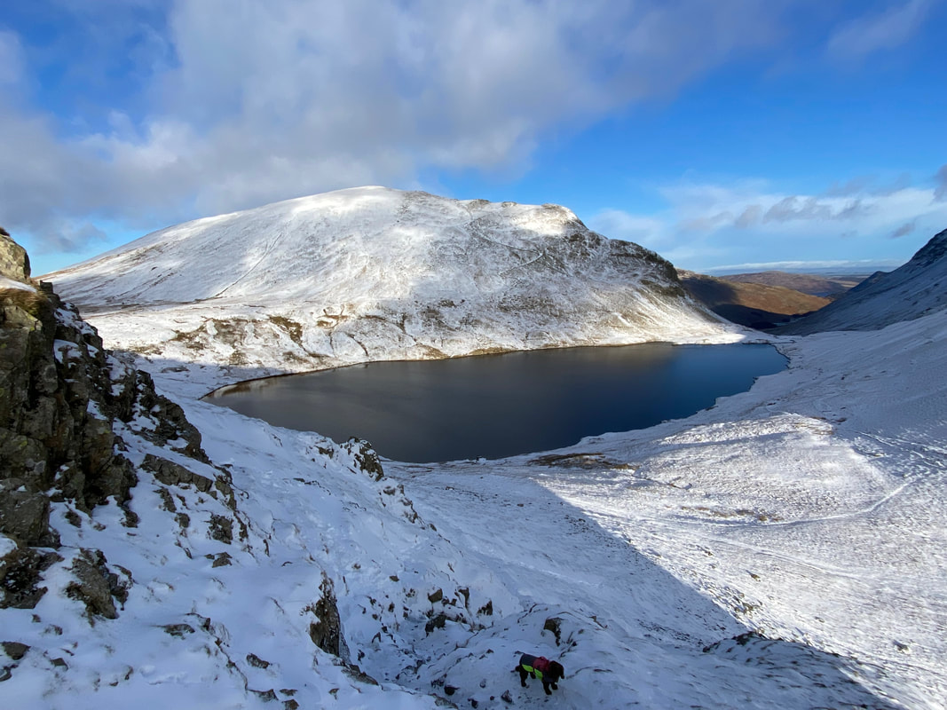
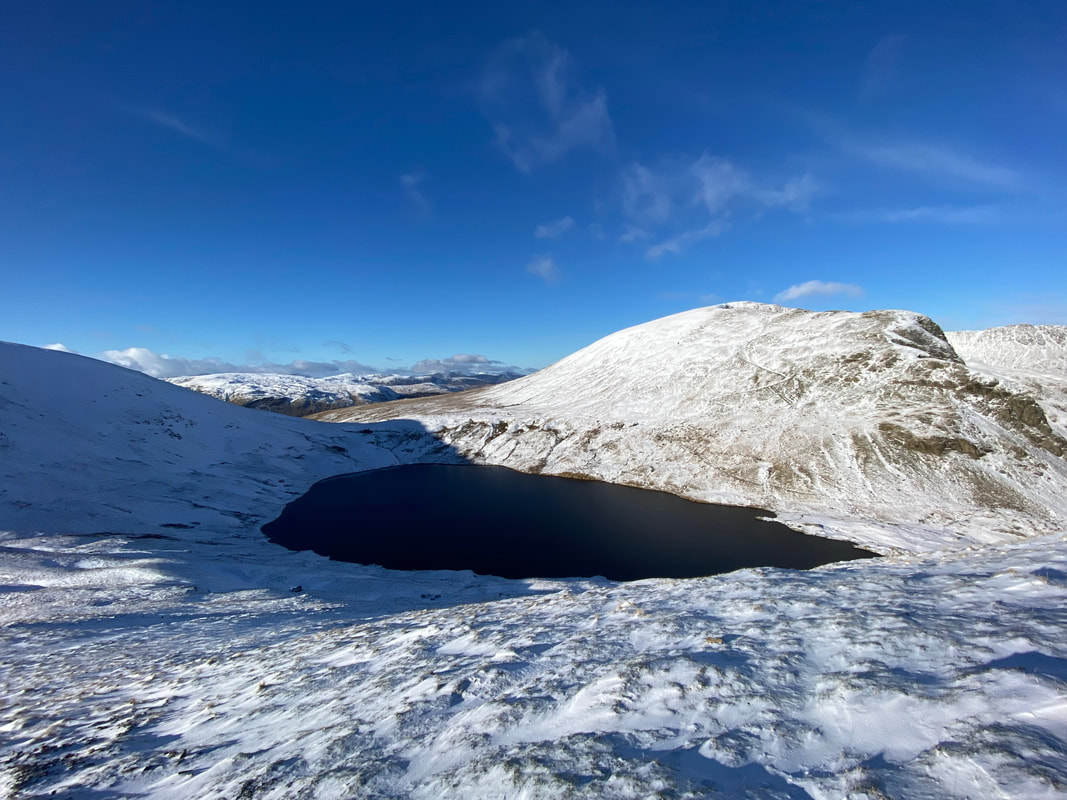
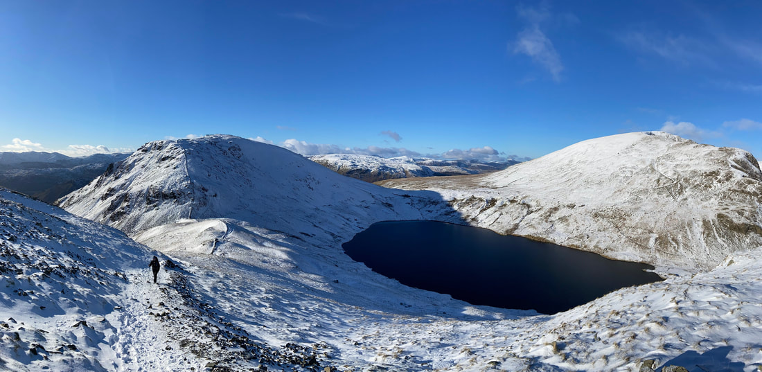
The inky blackness of Grisedale Tarn with Dollywaggon Pike beyond
We continued to follow the broken wall as we made our descent
With his four paw drive, Fudge made short work of the descent
The view from our descent of Seat Sandal plus a gobby pooch (Click Play to view)
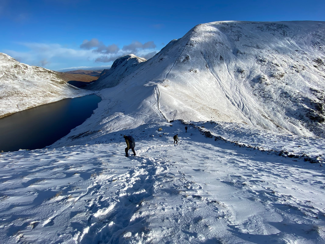
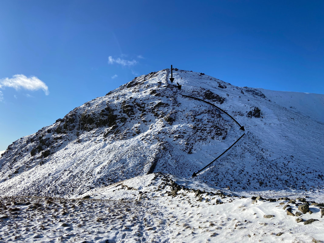
The steep descent of Seat Sandal looking to Fairfield
Descending Seat Sandal (Click Play to view)
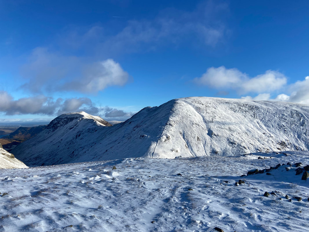
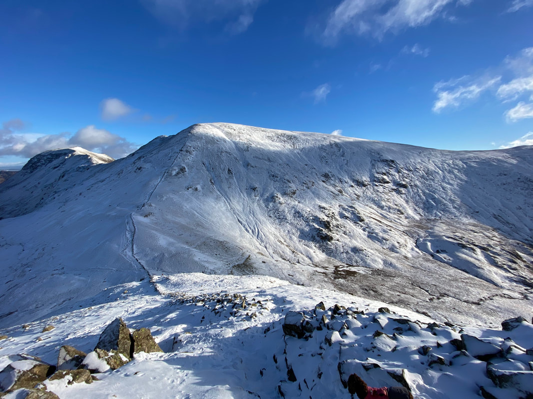
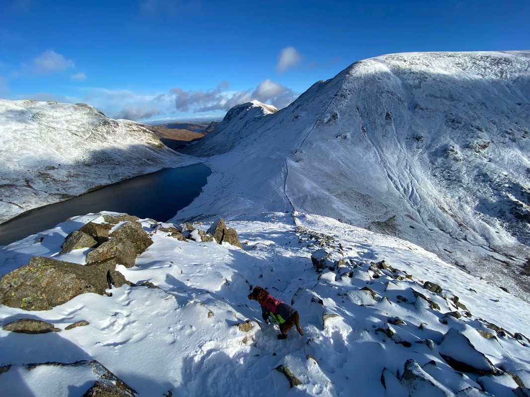
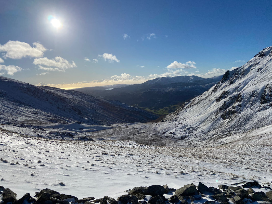
Grisedale Hause now in sight as we near the foot of the descent - our route to Fairfield can be seen heading steeply up its west ridge. The path coming in from the right is the Coast to Coast route from Grasmere.
Grisedale Tarn & Dollywaggon Pike
Imagine this covered in a light dusting of snow - very treacherous with the wrong gear on
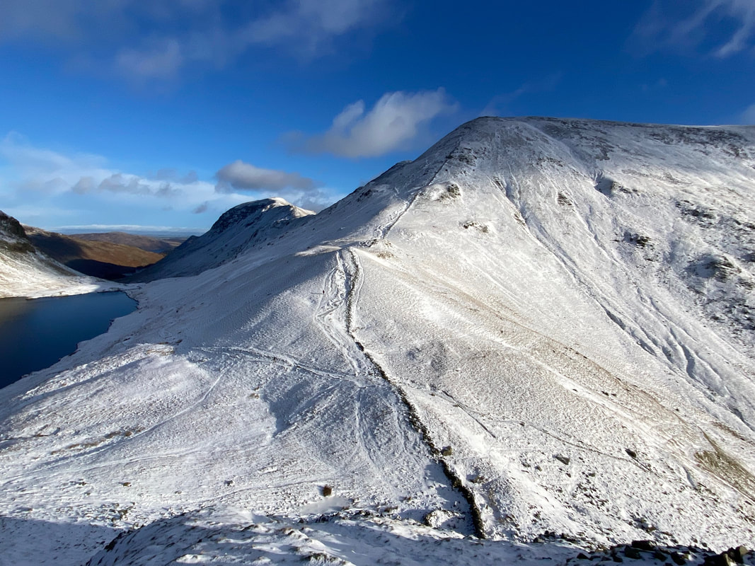
Looking back at our descent from Seat Sandal from near Grisedale Hause. The path is more clearer without snow on the ground.
Beginning our ascent of Fairfield
Looking down Hause Moss to Grasmere and the Coast to Coast path
Continuing the ascent of Fairfield - this is a lovely way up and whilst steep you simply need to stop often and look back..........................
.............. at views like this to Grisedale Tarn & Dollywaggon Pike
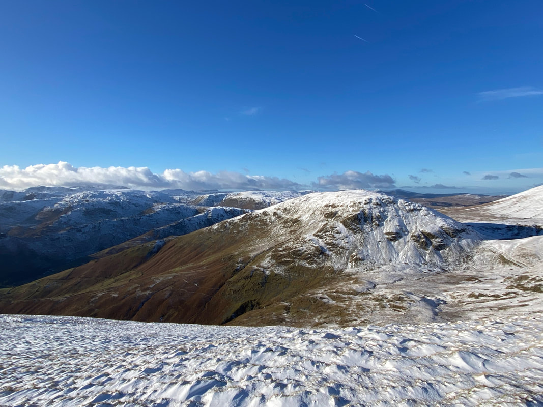
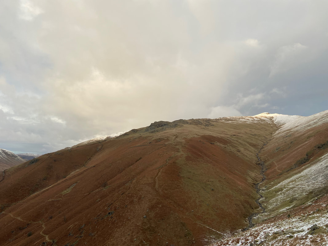
Seat Sandal from the ascent of Fairfield
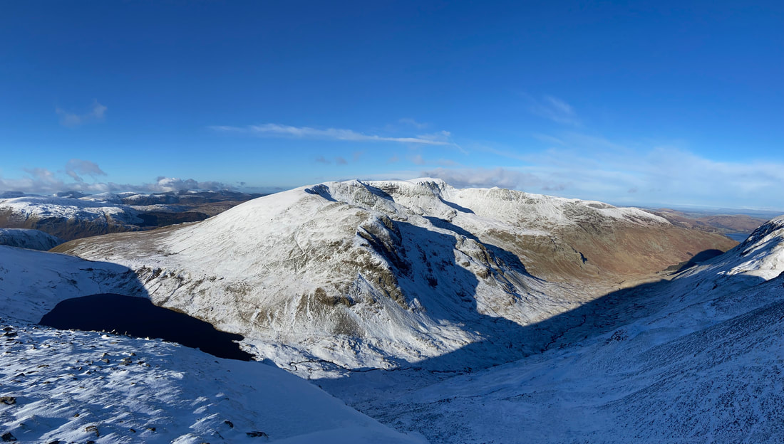
A wider panorama from the ascent of Fairfield
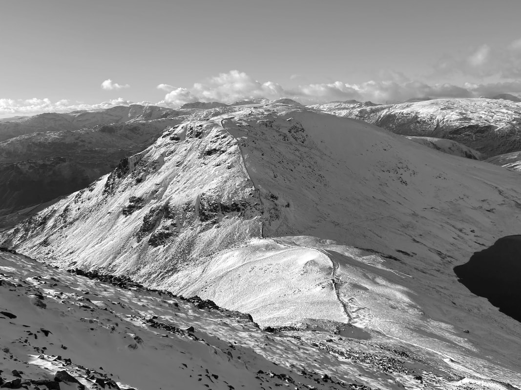
A mono view of Seat Sandal. As height is gained the North Western Fells come into view.
Great Rigg
The Helvellyn Range from the ascent of Fairfield
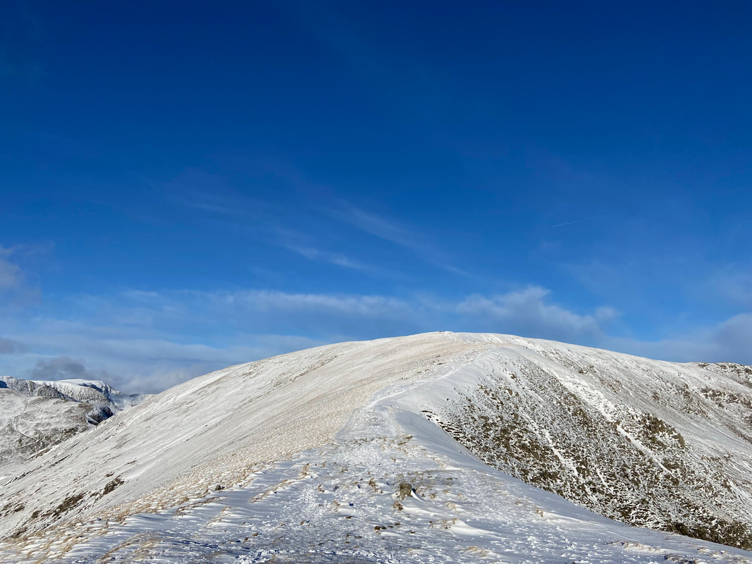
With the hard yards done the final few metres to Fairfield's summit start to level out
Cofa Pike & St Sunday Crag from Fairfield
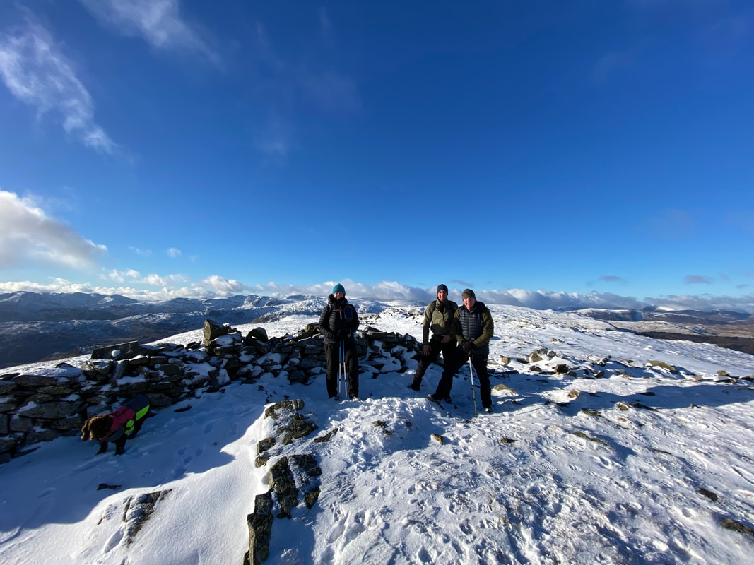
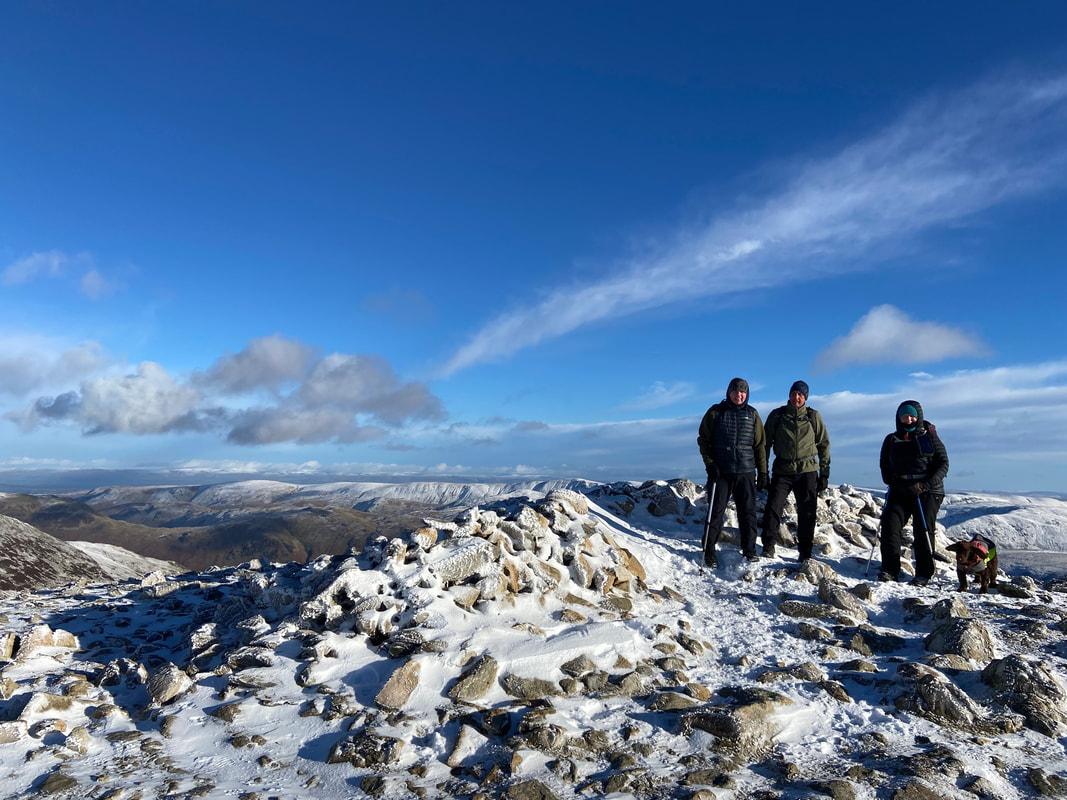
The summit of Fairfield - it was pretty baltic up here but what views we had
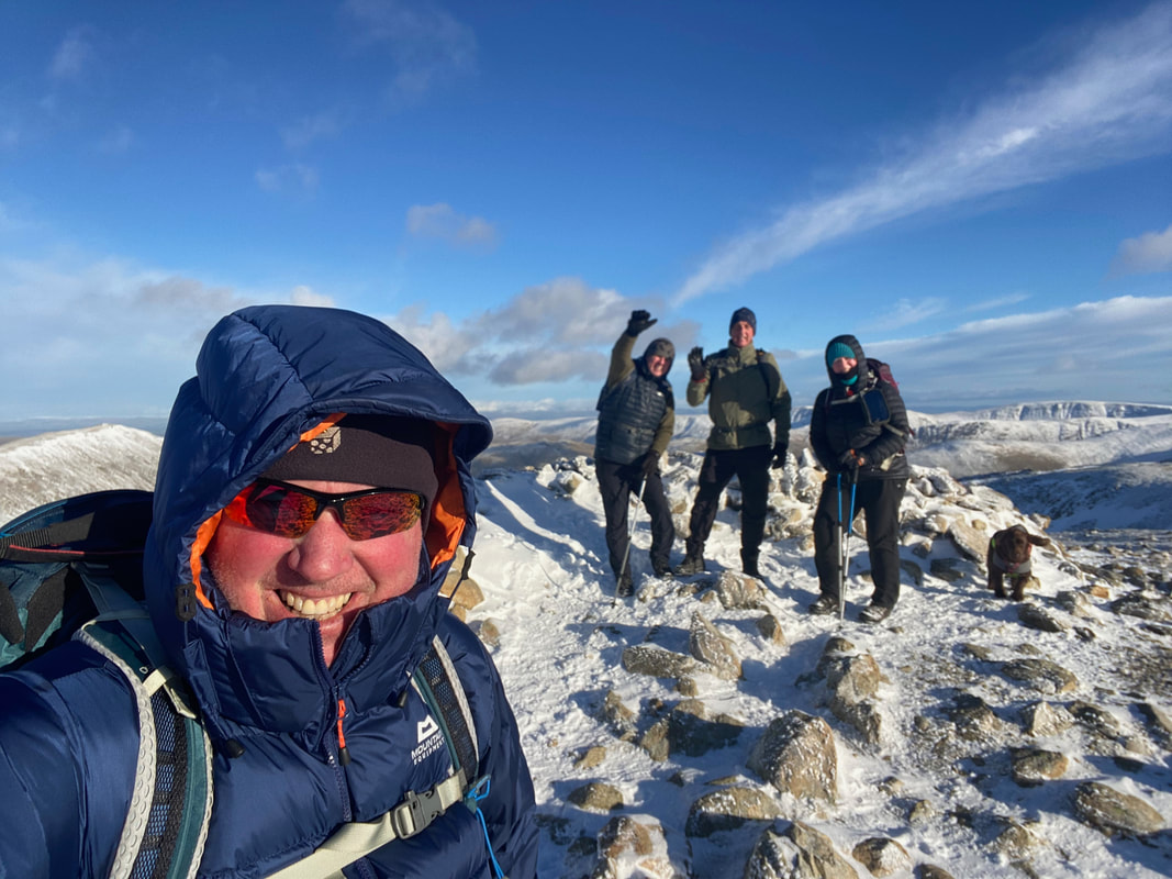
A summit selfie on Fairfield - even Fudge is waving
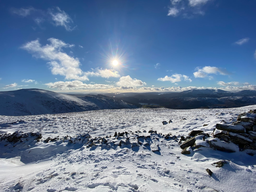
The view from Fairfield's summit (Click Play to view)
Fairfield's summit is well known as a very confusing place in mist/low cloud. The line of cairns shows the route off when completing the Fairfield Horseshoe (clockwise) and heading to Hart Crag. Whilst the cairns are great markers in good visibility, they are useless when enveloped in mist. We were heading to the right and descending via Great Rigg.
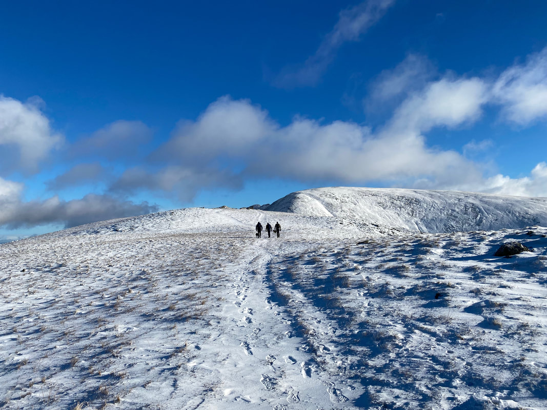
Angie out in front as we head to Great Rigg
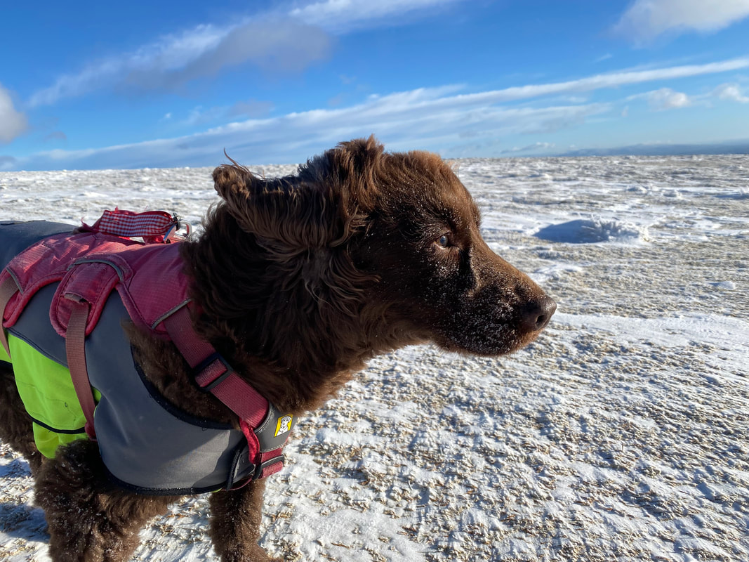
A snow covered, windswept & interesting Fudge
Heading for Great Rigg
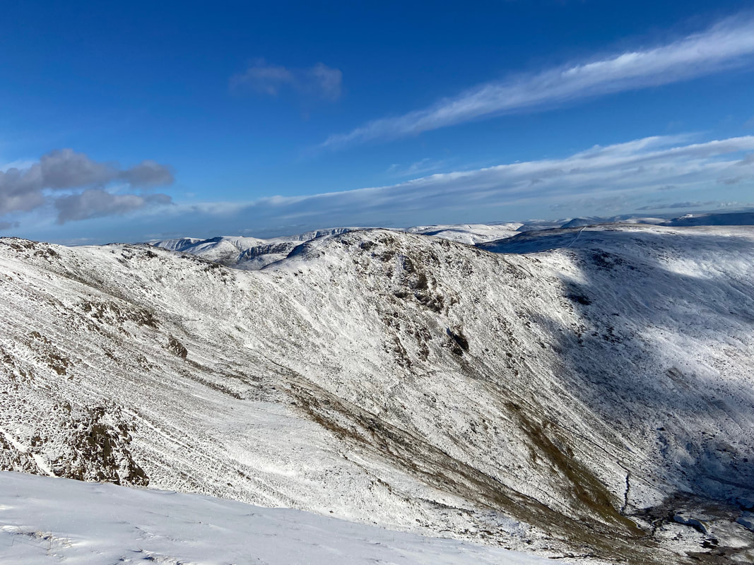
Looking over the head of Rydal to Hart Crag
Approaching Great Rigg
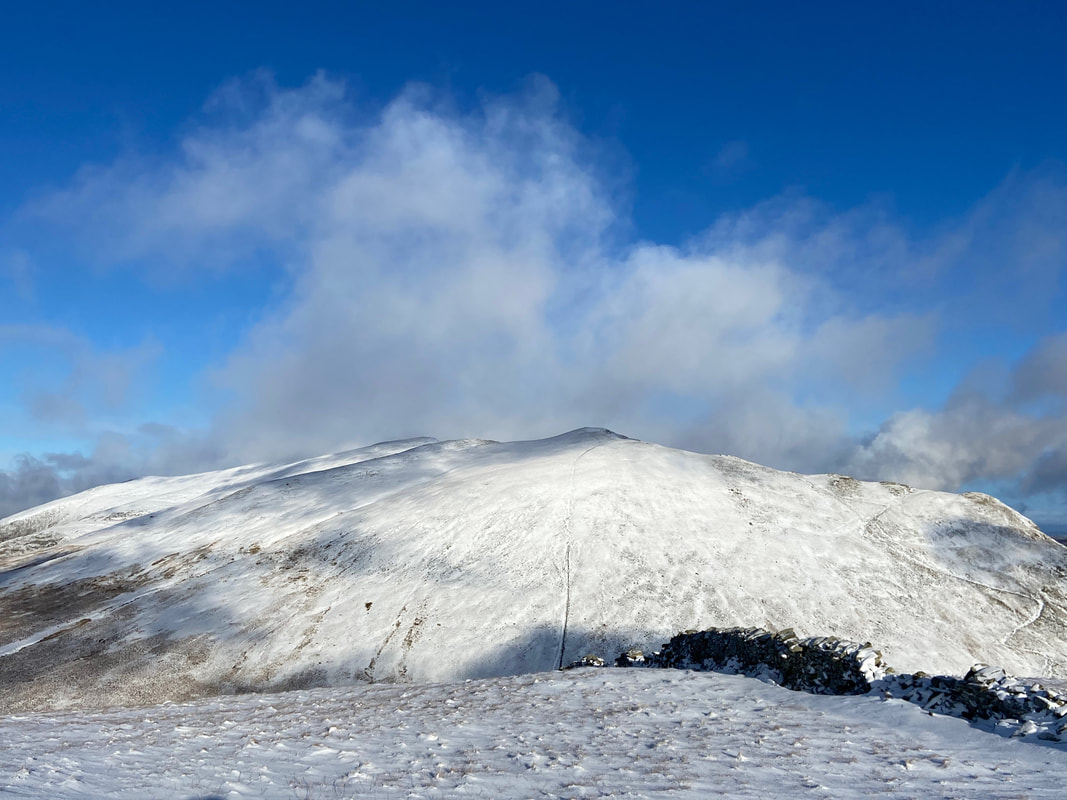
Seat Sandal from the approach to Great Rigg
Looking back to Fairfield
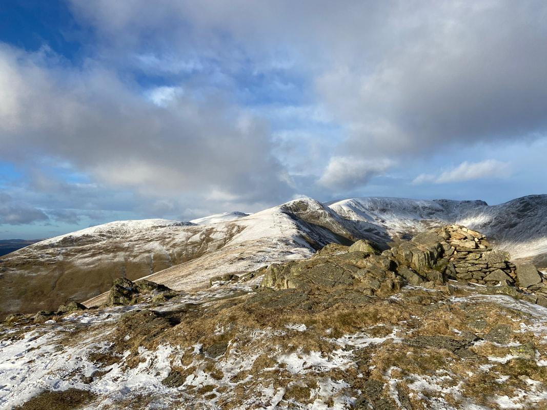
The summit of Great Rigg. The cairn is detailed on the 1:25 OS Map as "Greatrigg Man"
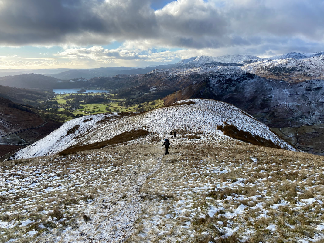
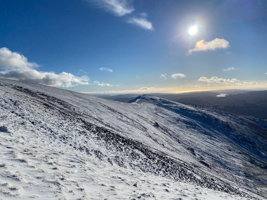
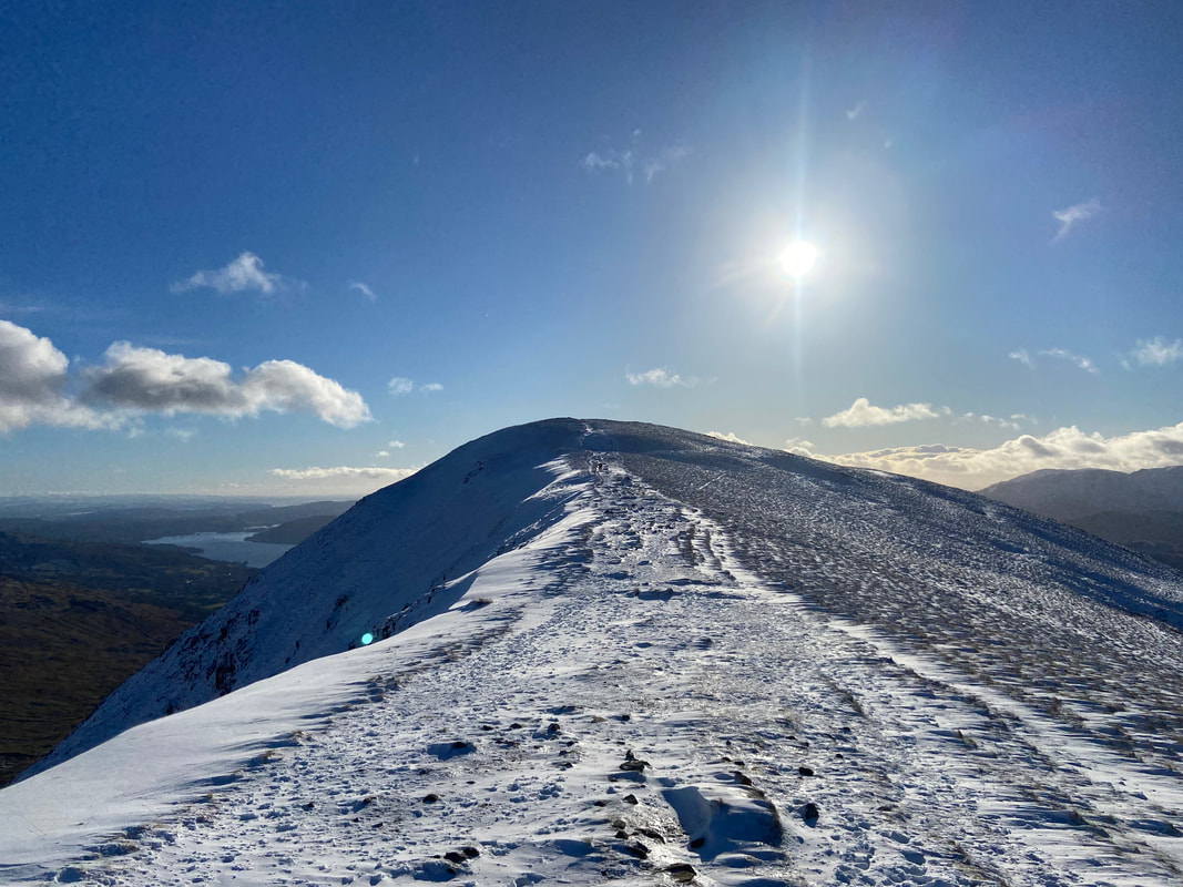
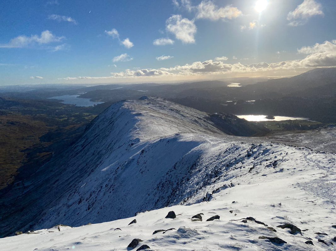
From Great Rigg we continued along the ridge towards Heron Pike with Windermere over to the left
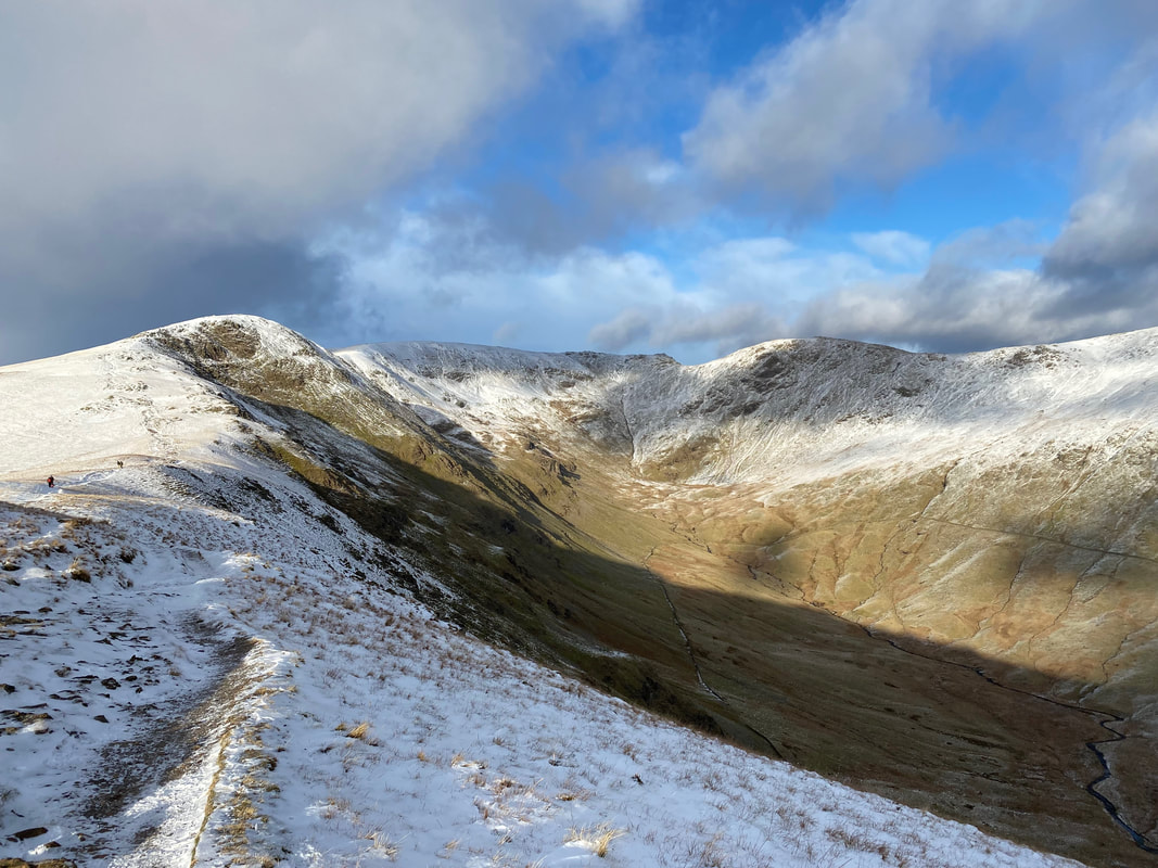
The classic U shaped glacial valley of Rydal with Fairfield at its head. Great Rigg is to the left with Hart Crag to the right.
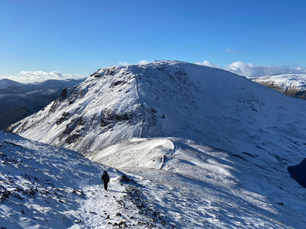
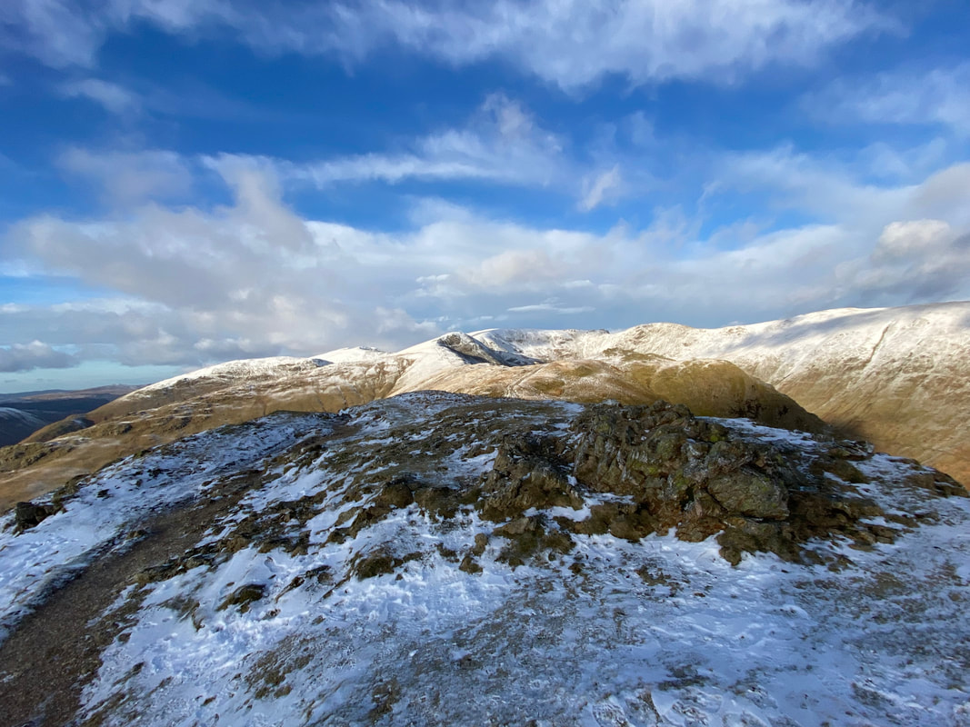
Approaching Heron Pike North Top
The rock at the end of the old wall that marks the summit of Heron Pike North Top
Approximately a quarter of a mile to the south from the North Top lies the outcrop summit of Heron Pike
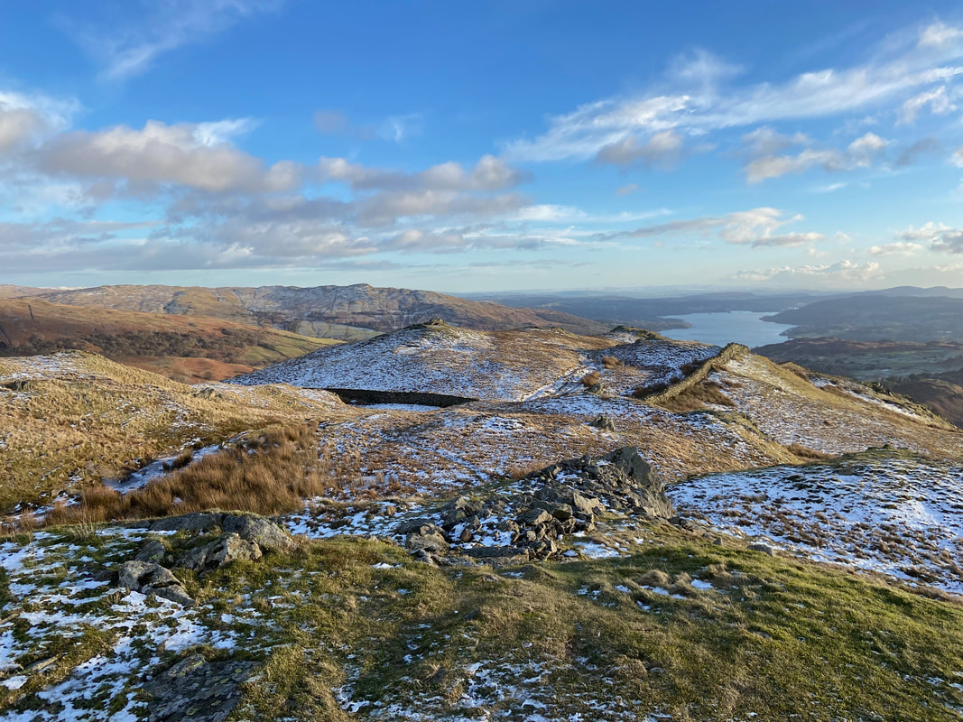
The approach to Nab Scar with Windermere stretching away to the south
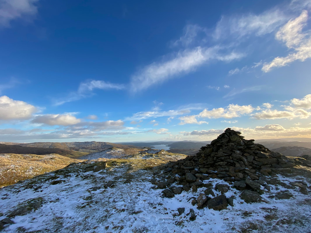
The summit of Nab Scar
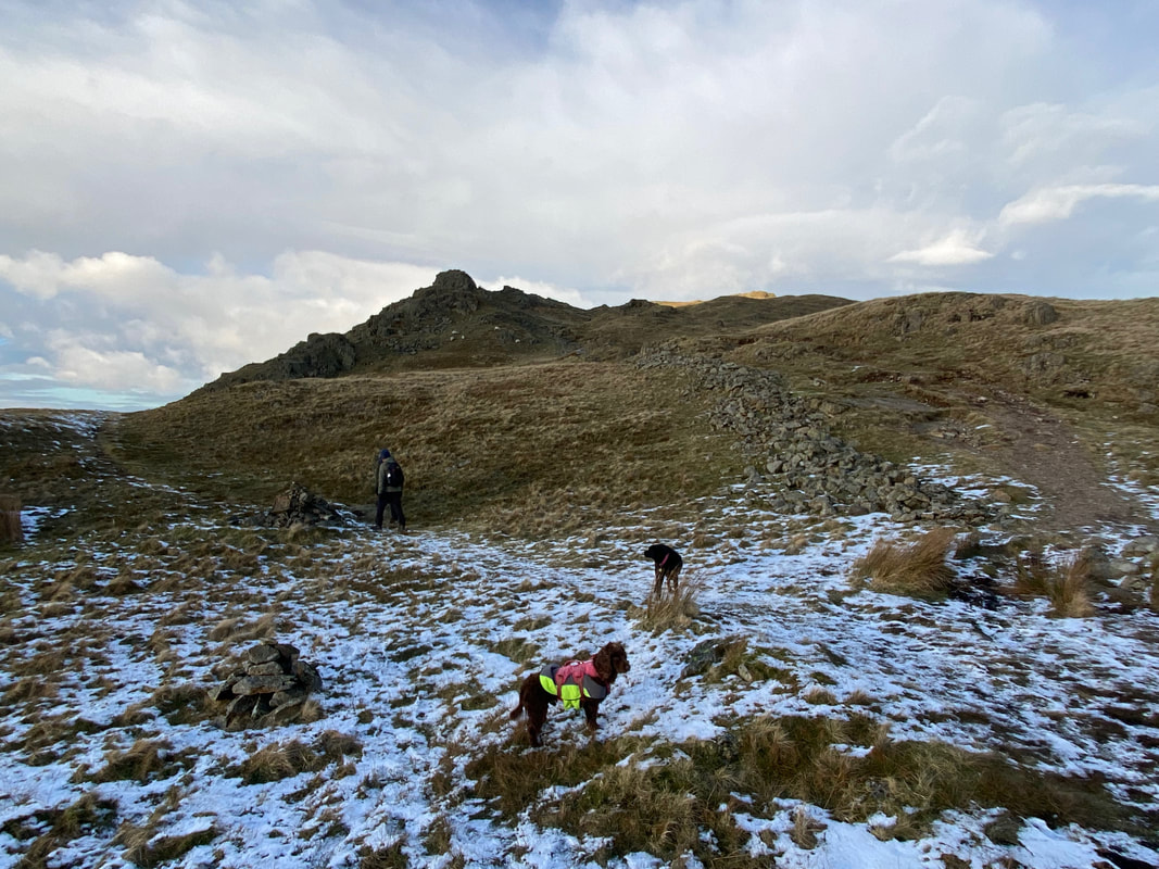
From Nab Scar we retraced our steps to the path junction where a cairn marks the start of the descent to Alcock Tarn. The cairn is located on the main Fairfield Horseshoe path at Grid Reference NY 355 075.
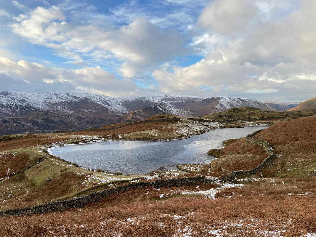
The beautiful Alcock Tarn - this is a lovely spot
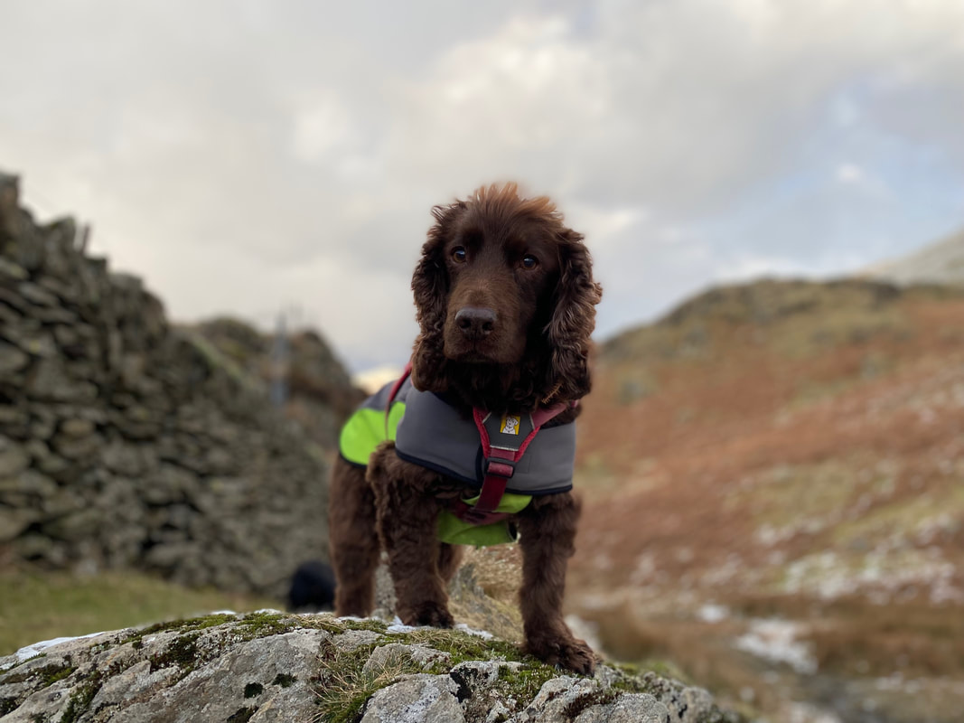
The "I'm really enjoying myself but I ain't half starving" look from the Fudgemeister
Looking across to Stone Arthur with Greenhead Gill over to the right
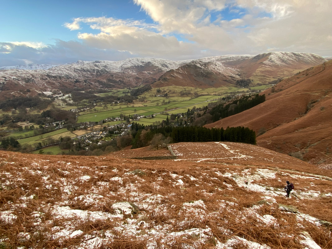
Grasmere sits below us now as we near the foot of the descent
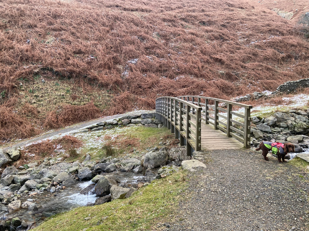
The footbridge over Greenhead Gill - turning left over the bridge leads to Grasmere
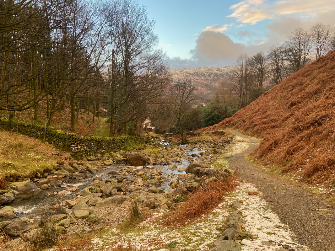
The path alongside Greenhead Gill leading to the A591 and Grasmere
