Blencathra - Thursday 31 January 2019
Route
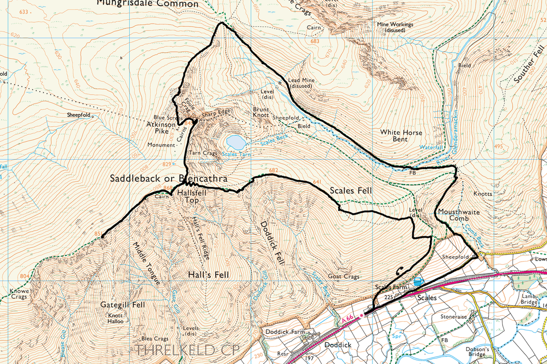
Scales - Scales Fell - Doddick Fell - Blencathra (Hallsfell Top) - Gategill Fell - Blencathra (Hallsfell Top) - Foule Crag - Atkinson Pike - Mousthwaite Comb - Scales
Parking
Lay by on the A66 near Scales Green (Free) - Grid Ref NY339267
Mileage
7.5 miles
Terrain
Icy paths & deep snow throughout. The ridge from Gategill Fell to Sharp Edge was intermittently corniced therefore care needed to be taken. Additionally, beneath the snow there were some patches of thick ice. The path descending Mousthwaite Comb was solid ice. Full winter kit carried.
Weather
Gloriously sunny with excellent visibility. Temperature was -5 degrees with a wind chill of -15. On the summit ridge there was intermittent minor spindrift.
Time Taken
6hrs 35mins
Total Ascent
2424ft (739m)
Wainwrights
1
Map
OL5 - The English Lakes (North Eastern Area)
|
GPX File
|
| ||
If the above GPX file fails to download or presents itself as an XML file once downloaded then please feel free to contact me and I will send you the GPX file via e-mail.
Walk Description
With another fantastic weather day on the cards where better to spend it other than the Northern Fells of the Lake District - and the captivating mountain of Blencathra. This beautiful landscape sits above the A66 and can be accessed from various points along the road - it is a fantastic sight as motorists make their way to & from Keswick & Penrith. The fell has two contrasting flanks with the north & west being mainly of grassy slopes falling away into Skiddaw Forest whilst the south and east huge scoops have been cut out of the mountain to leave a series of ridges of varying sharpness separated by steep sided valleys. The only grassy breach of the fell's defences on this side is Scales Fell, which splits the rocky front into two isolated parts. The most familiar is the southern face, with the grassy slopes of Blease Fell and Scales Fell at each end and the rocky ridges of Gategill Fell, Hall's Fell and Doddick Fell in between. Around the corner behind Scales Fell is Sharp Edge, a knife-edge of rock that leads to Foule Crag and eventually to Atkinson Pike.
Our route today would start from the A66 at Scales Green - there is plenty of verge parking either side of the A66 with additional parking at The White Horse Inn 200 yards up the road. Whilst the pub does not mind you using their Car Park, it would be nice to reciprocate their generosity by having a post walk drink in what is a very fine Lakeland Pub. We started off just before sunrise and headed across the south eastern flank of Scales Fell in the direction of Mousthwaite Comb where just as the gradient starts to increase the path forks with the right hand path continuing above Mousthwaite Comb to Sharp Edge whilst the left hand fork continues up Scales Fell - steeply at first however the gradient eases as the summit is gained. With the snow deep and soft in many places, even the slightest gradient was hard work today.
From Scales Fell's summit it is a short and undulating transit to Doddick Fell from where a final push then gains Blencathra's summit ridge - a short walk south west leads to Hallsfell Top, the summit of the mountain. The weather we had today ensured we could enjoy a full Lakeland panorama from the top, not only the entire summit ridge but far and wide over the National Park, the Pennines and The Howgills. There are several options of descent from the summit - today we decided to do a quick out & back over to Gategill Fill and then head along the summit ridge to have a look down Sharp Edge. All along the entire summit ridge were snow cornices and walkers really do need to be aware of the dangers of transiting across what appears to be a safe passage which does unfortunately catch people out - in these conditions just stay away from the edge and you will be fine.
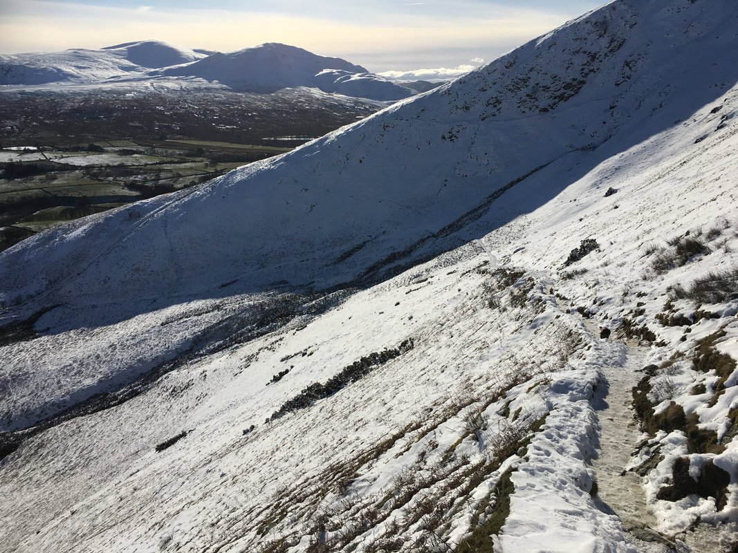
From above Sharp Edge we then climbed up on to Atkinson Pike to then drop down steeply over loose ground and deep snow to the path that leads over to Mungrisdale Common. Having decided to give Mungrisdale Common a miss today we made for the col below Bannerdale Crags to begin our descent back to Mousthwaite Comb alongside the River Glenderamackin. Ordinarily this is a pleasant stroll but the path was inconspicuous by its absence for much of the descent due to the deep snow and it was just a case of making our way down as best we could. Reaching the footbridge over the river it is a short climb up to the junction of paths above the comb below White Horse Bent & Souther Fell to join the steep path down into Mousthwaite Comb. The path was extremely icy and precarious - the microspikes did their job here.
The path continued to descend steeply to reach the road and it was now just a question of turning right and following the road down the hill to reach The White Horse where a short walk down alongside the A66 brought us back to the parking area. This was a superb day out on an iconic mountain in fantastic conditions but care still needed to be taken and whilst full winter kit was carried (Ice Axe, Crampons & Microspikes) only the latter were required today.
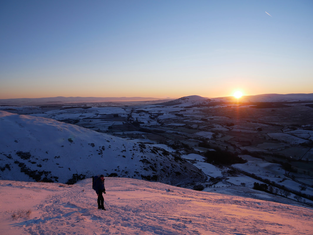
Sun is just about to come up and we are out on the fells - Blencathra today Fudgie my boy.
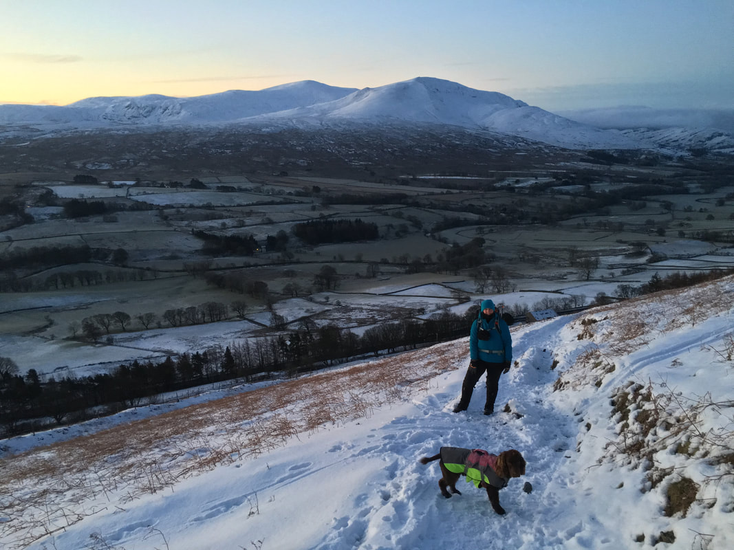
Making our way up the path from Scales Green with Clough Head and The Dodds providing a fantastic backdrop.
Making our way up the path from Scales Green with Clough Head and The Dodds providing a fantastic backdrop.
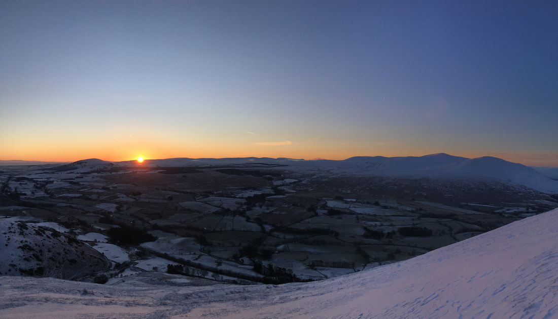
To quote firstly The Beatles and latterly Steve Harley & Cockney Rebel - Here comes the Sun (just to the right of Great Mell Fell)
Souther Fell - our dog Fudge's first Wainwright which he climbed in 2013
I've said it many times but it doesn't get much better than this.
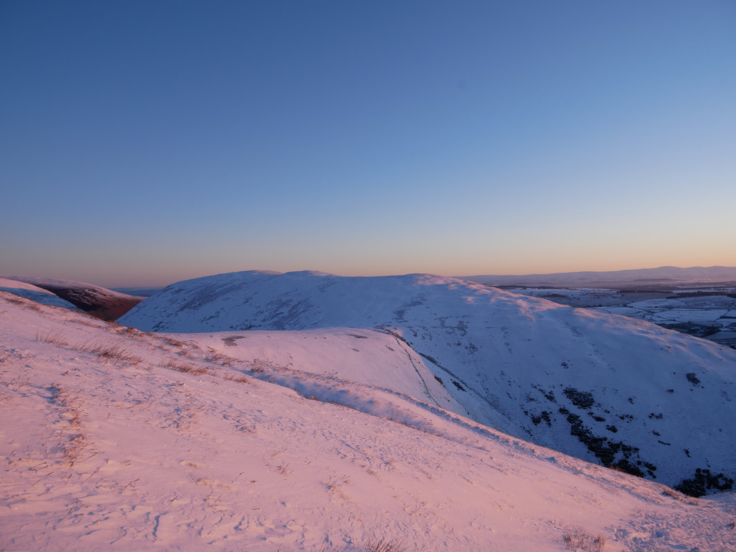
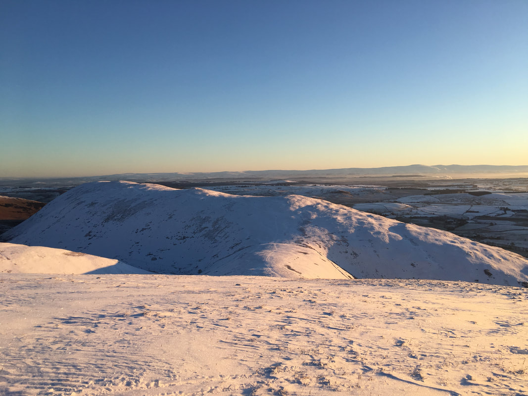
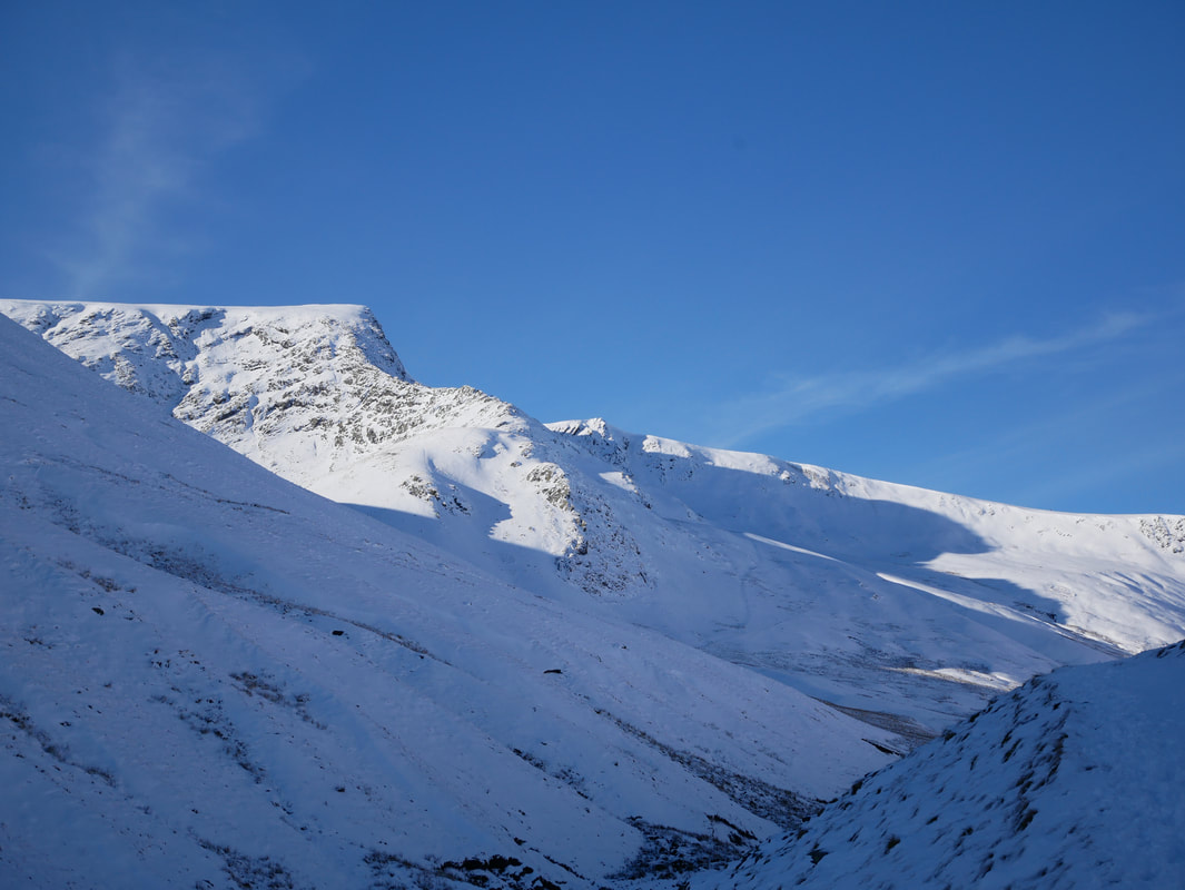
Bannerdale Crags & Souther Fell
Another view of Souther Fell - our path back to Mousthwaite Comb slopes away to the right from the centre of shot
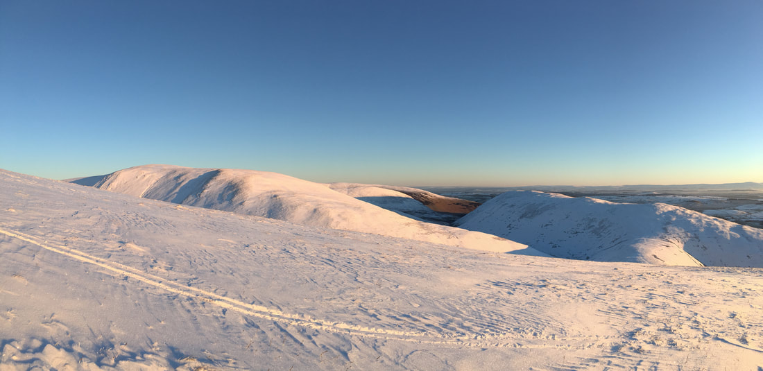
Lots of aspects of Blencathra all in a row.
Gategill Fell in the far distance, Halls Fell ridge leading to Hallsfell Top (Blencathra's summit), Doddick Fell & Scales Fell
Gategill Fell in the far distance, Halls Fell ridge leading to Hallsfell Top (Blencathra's summit), Doddick Fell & Scales Fell
Another view of Bannerdale Crags
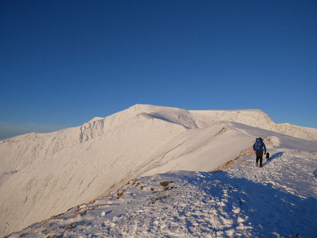
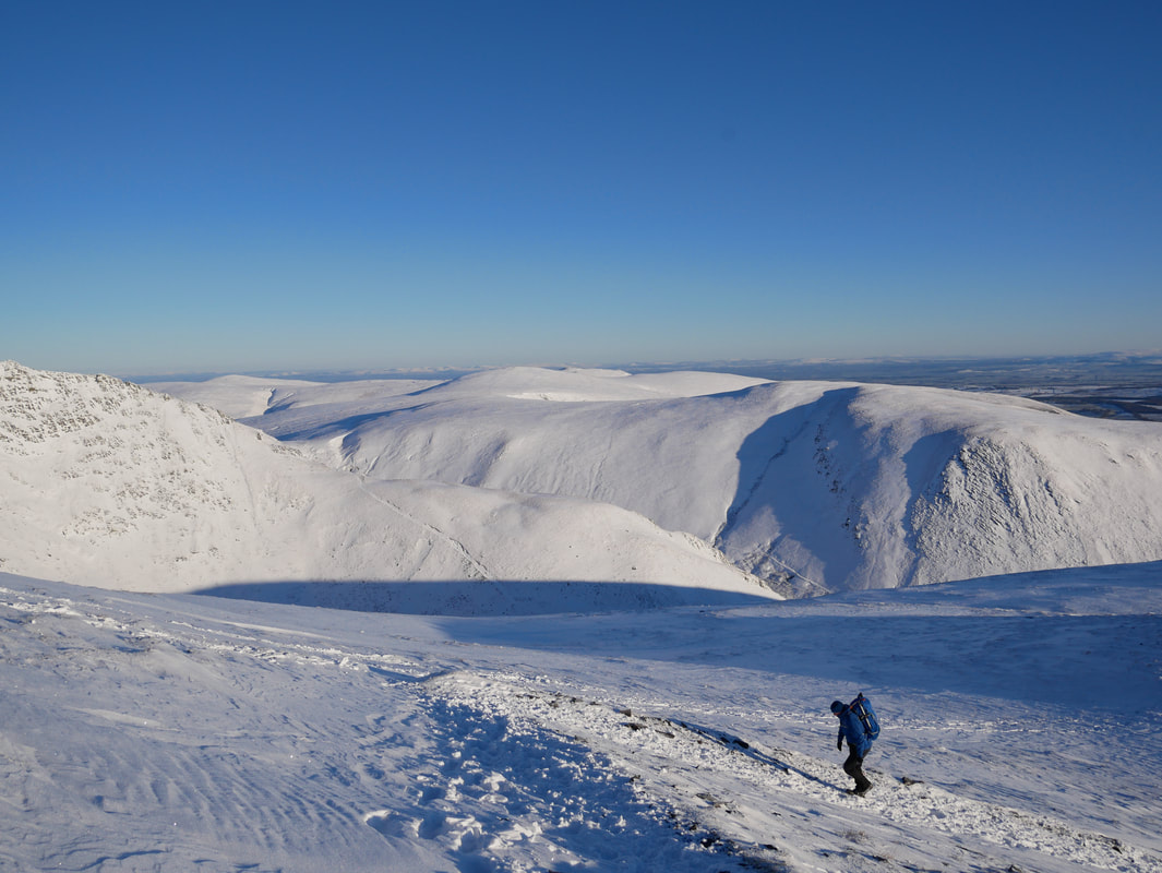
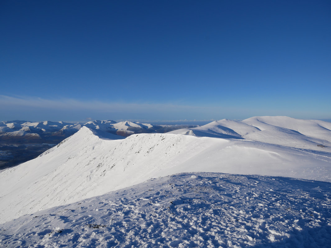
In today's conditions this was a fantastic ridge walk - Sharp Edge comes into view on the right as we approach the summit of Scales Fell
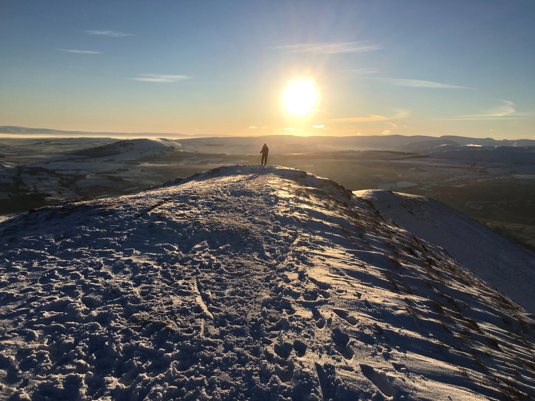
Angie silhouetted on the ridge of Scales Fell
The summit of Scales Fell - Doddick Fell is ahead.
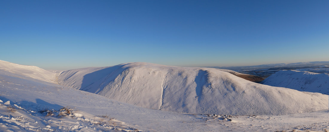
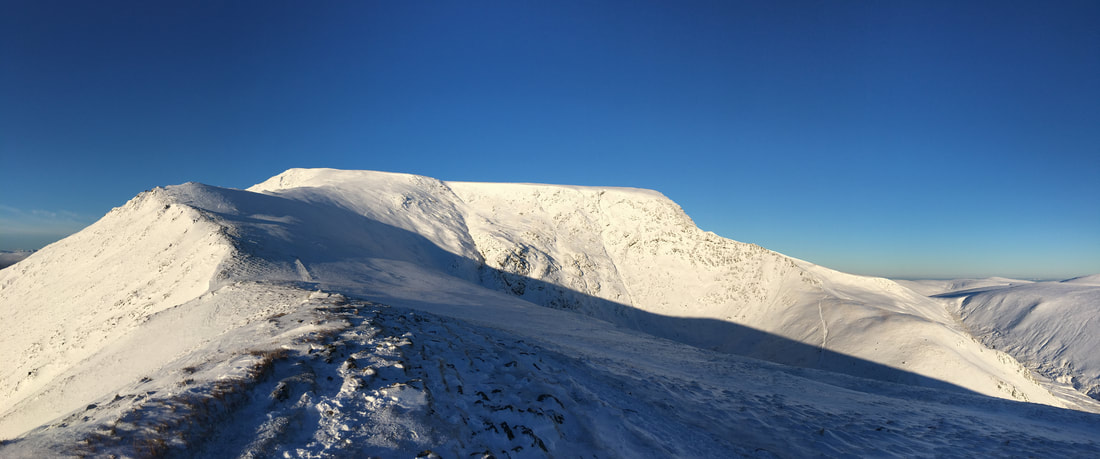
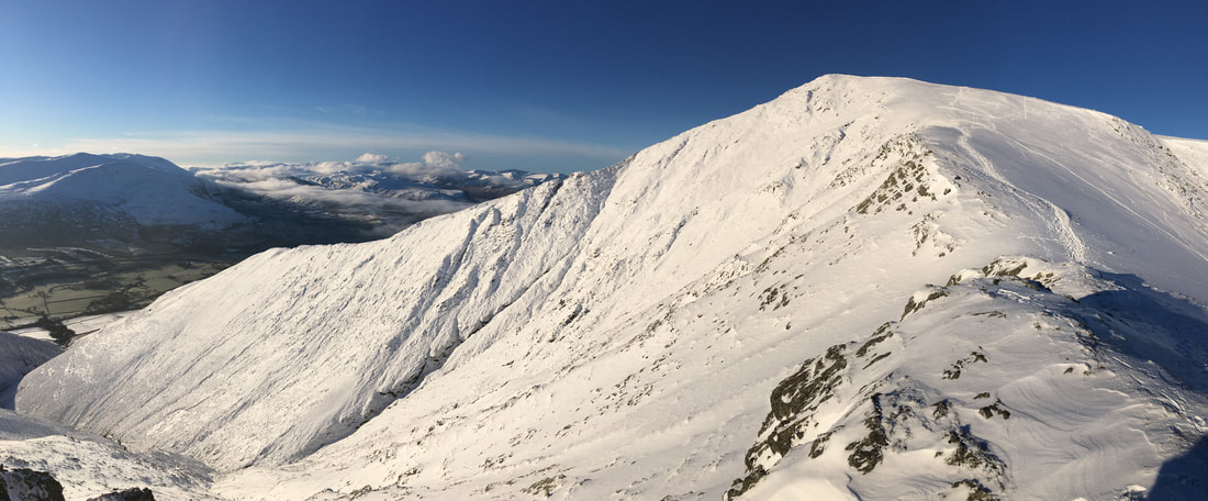
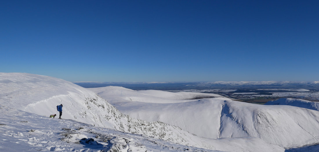
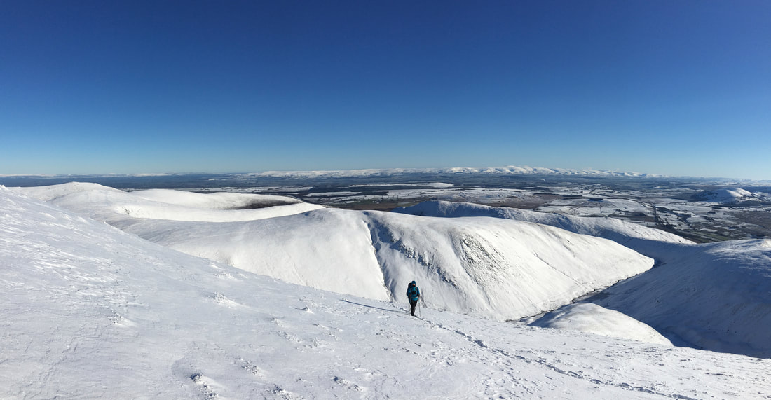
A Blencathra panorama from Scales Fell
The summit of Scales Fell
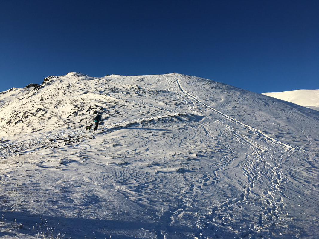
The zig zag path to Doddick Fell - as can be seen some hardy folk took the direct route.
Looking to Clough Head and The Dodds from near Doddick Fell
Almost up on Doddick Fell - Sharp Edge is to the left with Bowscale Fell & Bannerdale Crags centre & right
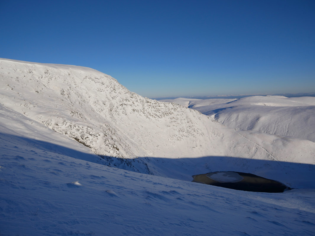
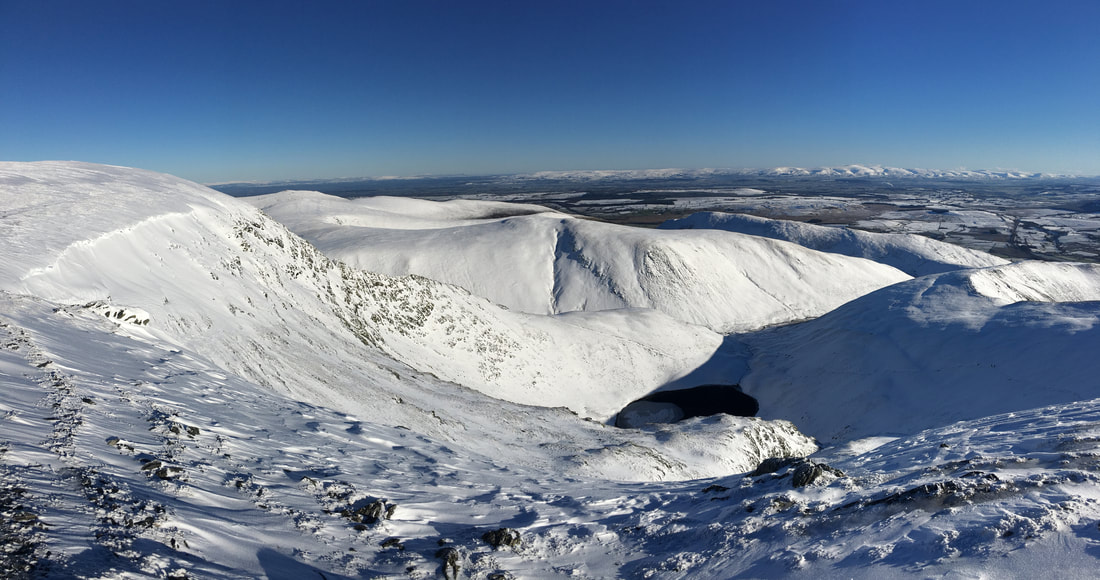
Sharp Edge and an inky black Scales Tarn
Approaching the summit of Doddick Fell
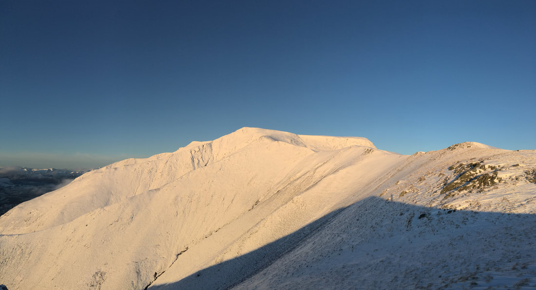
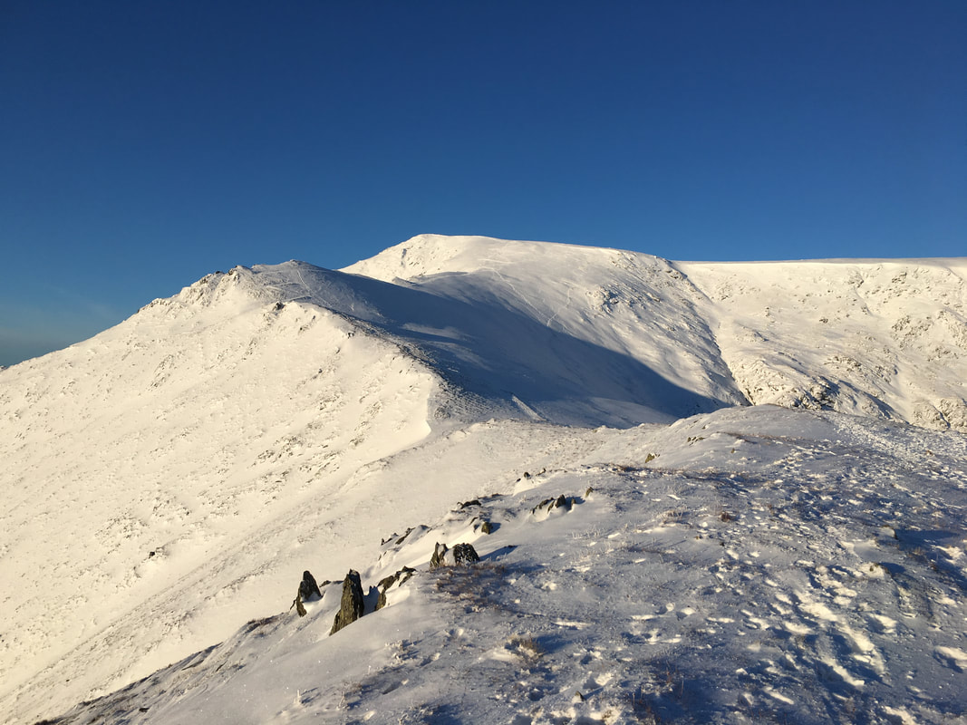
Blencathra from Doddick Fell
The summit of Doddick Fell
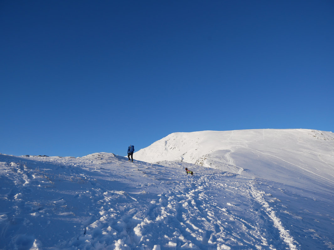
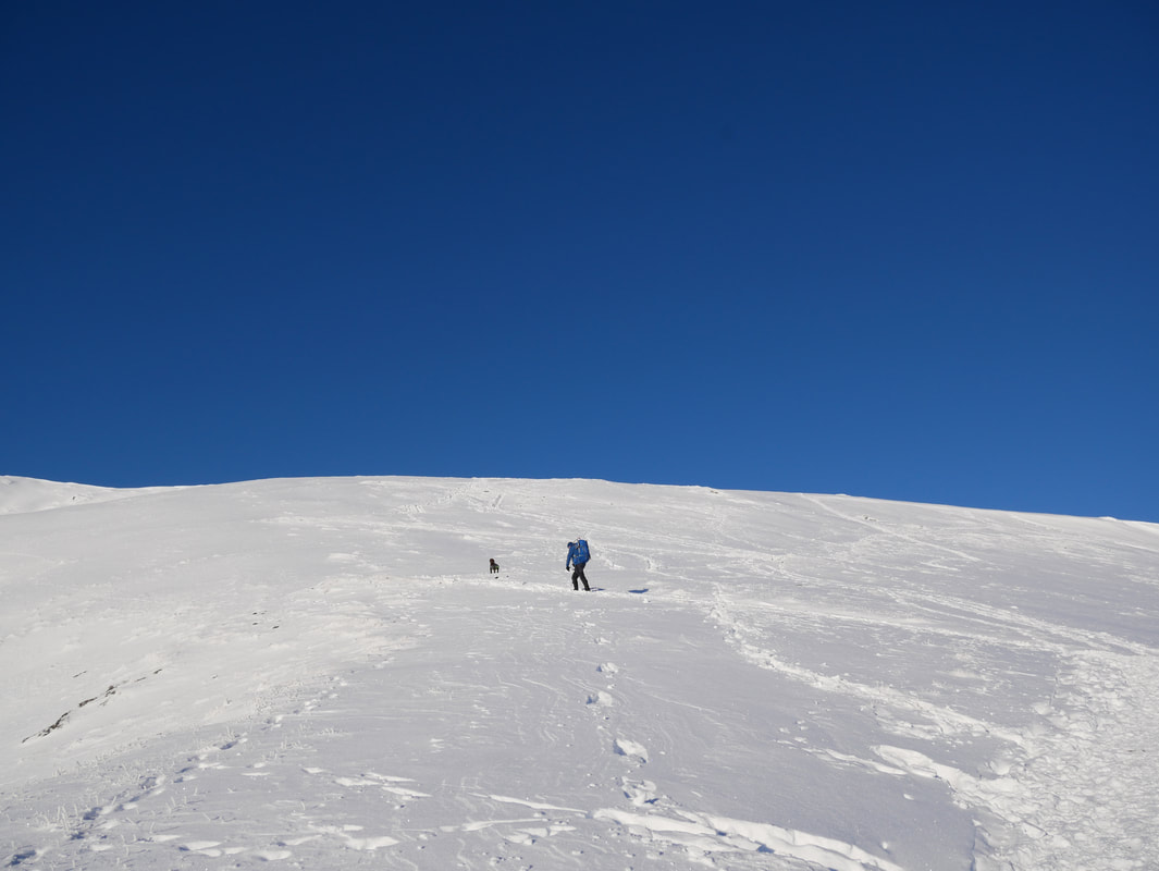
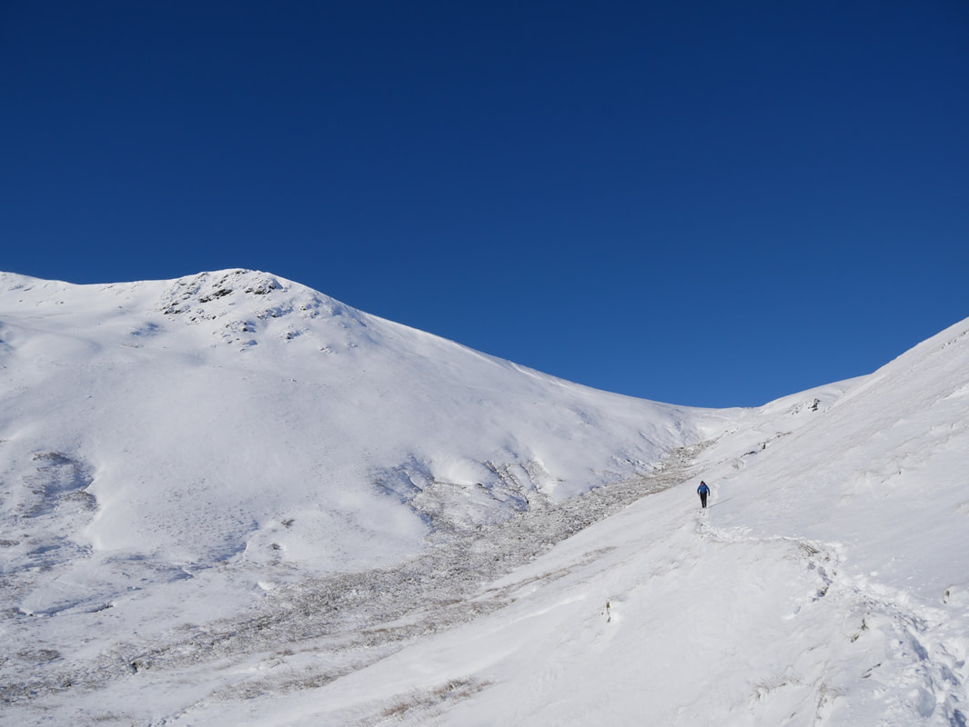
From Doddick Fell to Blencathra's summit ridge it was a walk in steep snow for the most part - good fun though.
Looking back down on our route of ascent
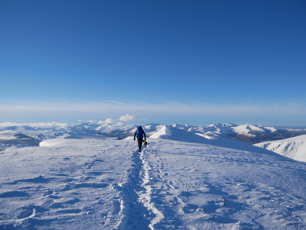
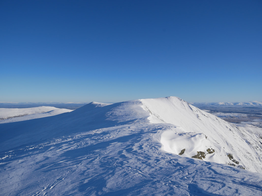
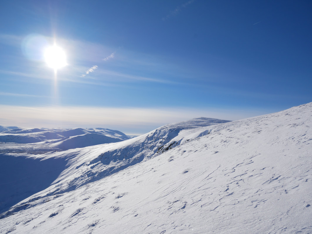
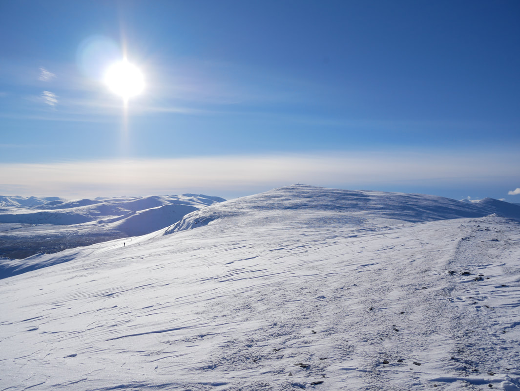
Up on Blencathra's summit ridge - just look at that view
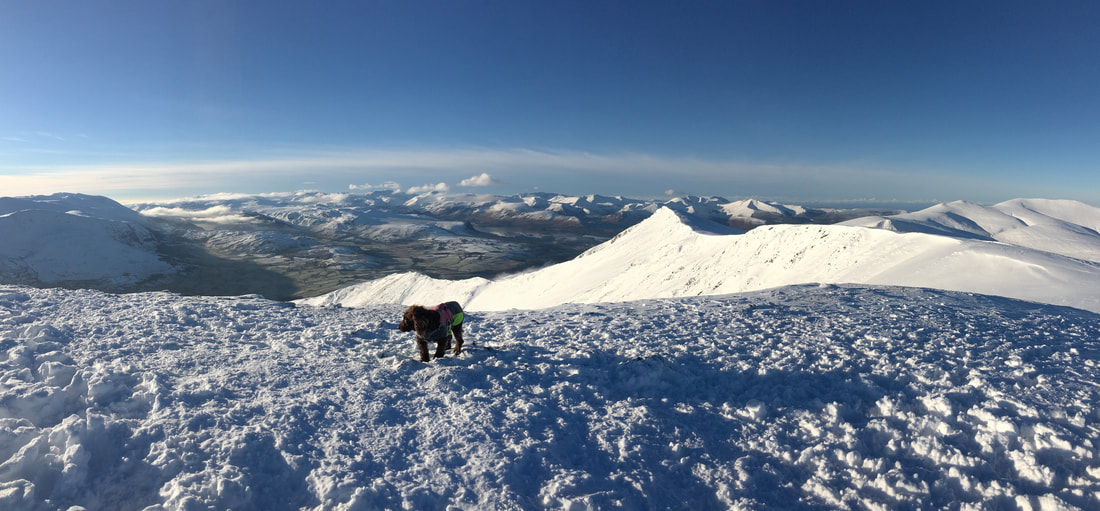
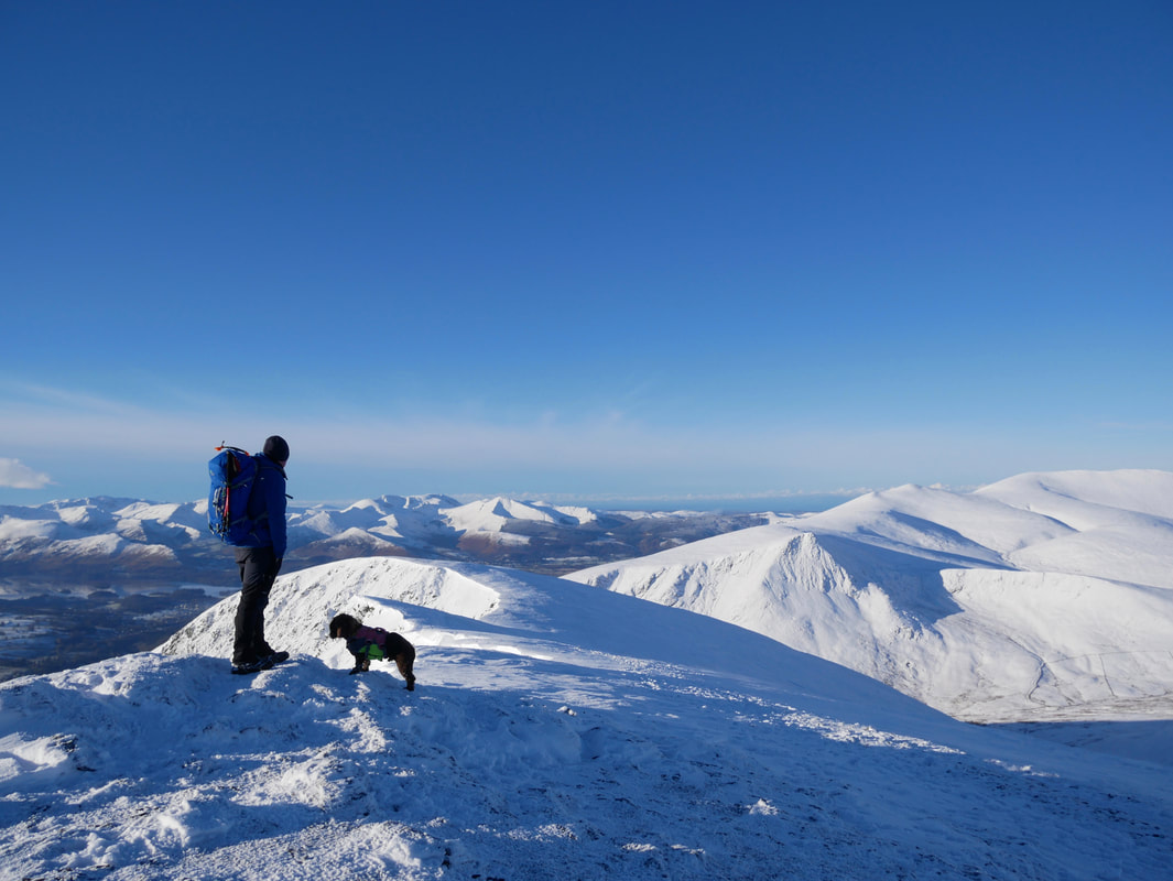
Fudge on the summit of Blencathra
The view to Gatefgill Fell from Blencathra's summit on Hallsfell Top.
The North Western Fells provide the backdrop to the left with the Skiddaw Range to the right.
The North Western Fells provide the backdrop to the left with the Skiddaw Range to the right.
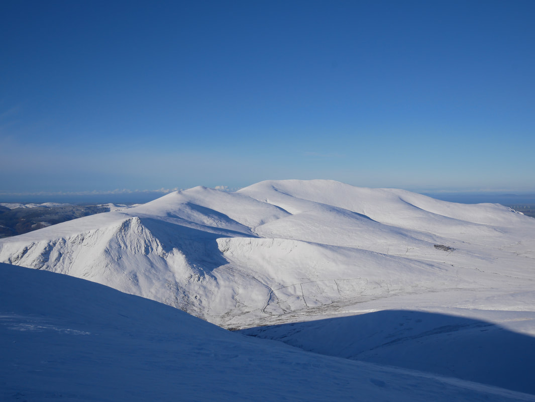
The Skiddaw Range.
To the left of the picture is Grisedale Pike with Lonscale Fell in the foreground left of centre.
Skiddaw Lesser Man, Little Man & Skiddaw are in the centre. Bakestall is rear right.
To the left of the picture is Grisedale Pike with Lonscale Fell in the foreground left of centre.
Skiddaw Lesser Man, Little Man & Skiddaw are in the centre. Bakestall is rear right.
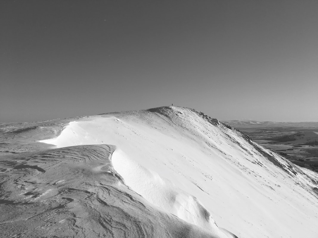
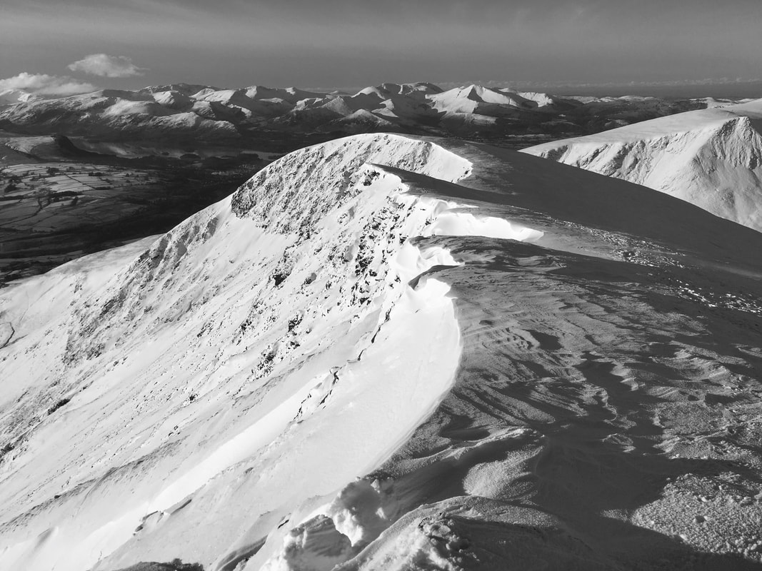
A mono shot looking back to Blencathra from the transit to Gategill Fell.
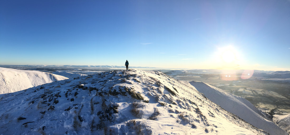
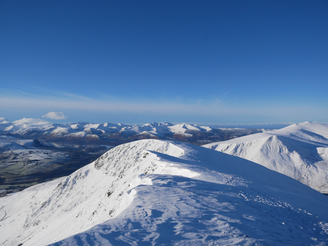
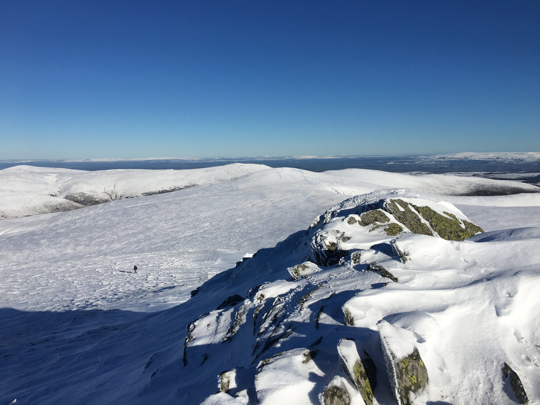
This was as near to the cornice as I could safely go in order to capture this solitary walker on the summit - any further was on extremely dangerous ground. Moral of the story is that if it doesn't look like solid ground then it probably isn't.
This was as near to the cornice as I could safely go in order to capture this solitary walker on the summit - any further was on extremely dangerous ground. Moral of the story is that if it doesn't look like solid ground then it probably isn't.
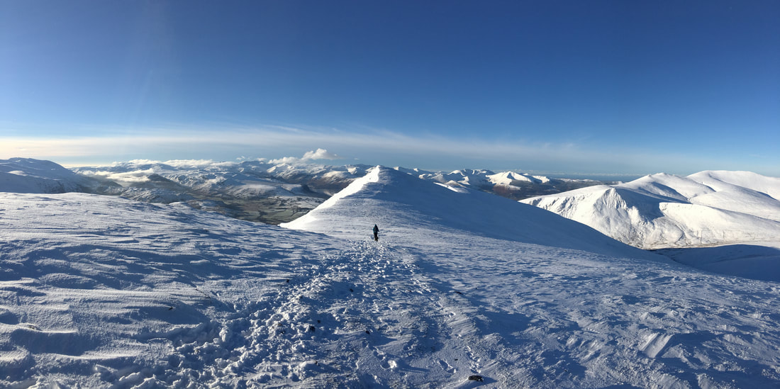
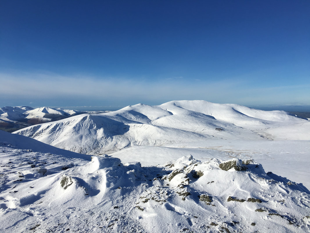
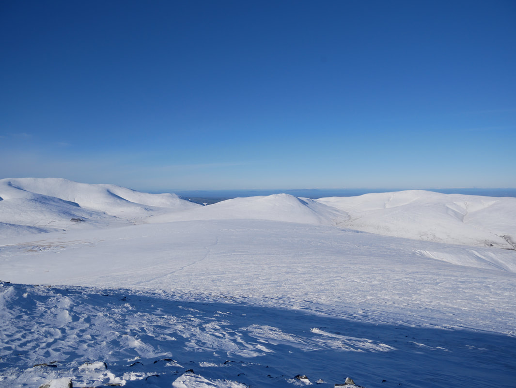
Heading for Gategill Fell - just look at all those fells.
Just a glorious day with hardly a soul about - sometimes it pays to drag yourself out of your scratcher nice & early!
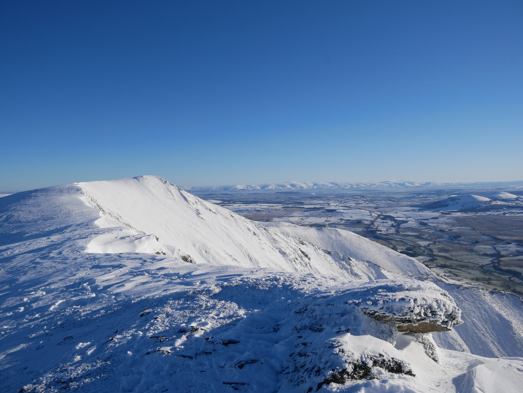
The view to Knowe Crags on Blease Fell from Gategill Fell's summit.
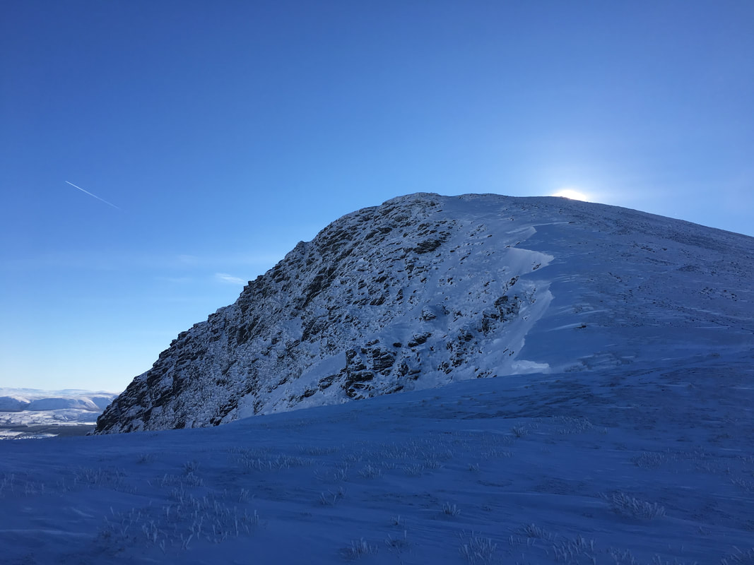
Looking back to Blencathra from the summit of Gategill Fell
Knowe Crags and the North Western Fells in mono. I was on solid ground here but a few yards further on was cornice.
With Fudge on the summit of Gategill Fell
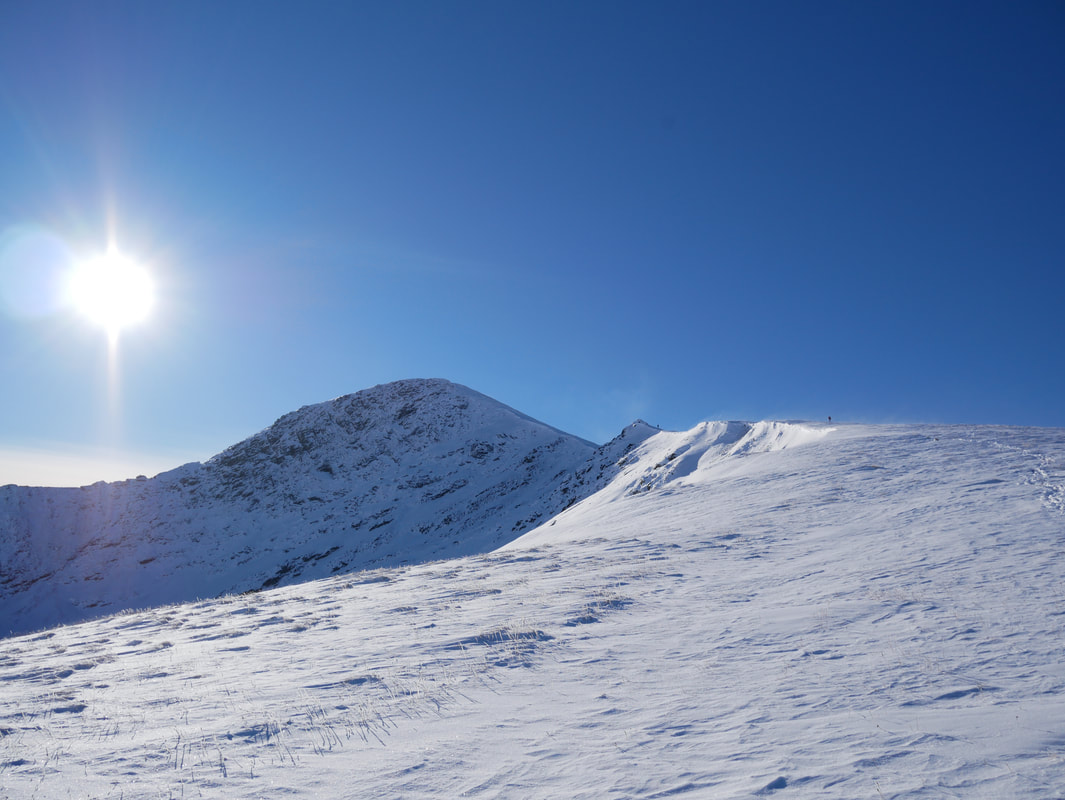
Heading back to Blencathra - Atkinson Pike comes into view on the left and was where we were off to next.
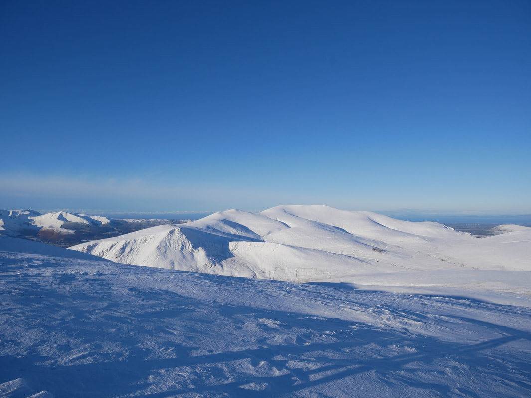
Another view of the Skiddaw Range - I could never get tired of looking at that.
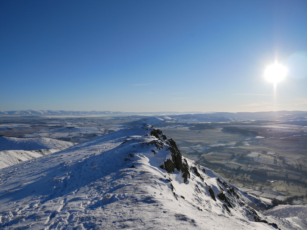
Above Sharp Edge
Sharp Edge, Scales Tarn & Bannerdale Crags
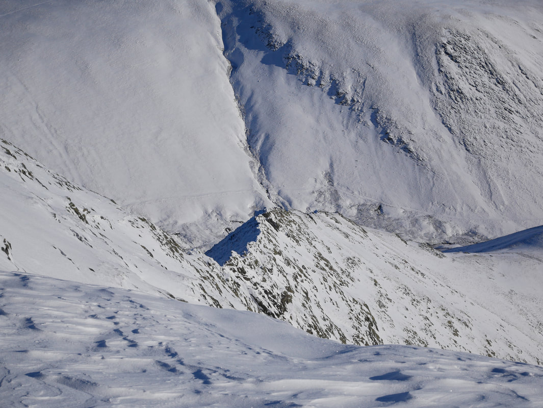
Sharp Edge - I'd have fancied this today but even in ideal conditions this is no place for a dog (in my opinion).
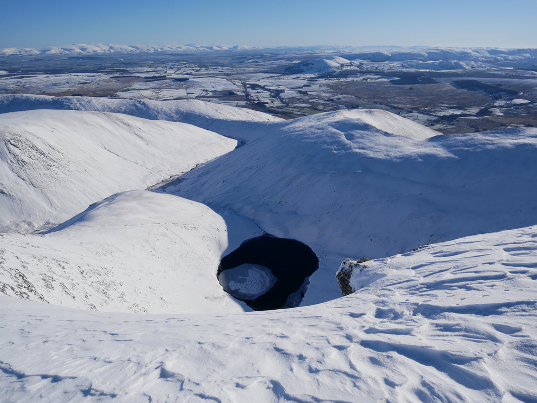
Scales Tarn
The superb view back to Blencathra with the Eastern Fells to the left
From above Sharp Edge we made our way to Atkinson Pike - fresh snow therefore no footprints to follow.
Blencathra from Atkinson Pike - the sort of day when you don't want to make a descent off the mountain.
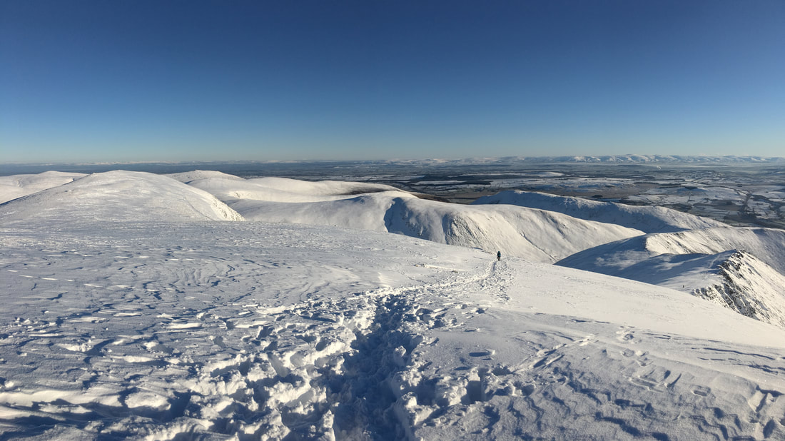
An Atkinson Pike panorama
The Skiddaw Range from the summit of Atkinson Pike
Foule Crag - as can be seen to the centre right the cornices are here also.
The path to Mungrisdale Common - we were originally planning to visit the summit today but gave it a miss.
Great Calva sits in the middle of shot with Knott to the right.
Great Calva sits in the middle of shot with Knott to the right.
Continuing our descent from Atkinson Pike - by now we were beginning to see a few more people.
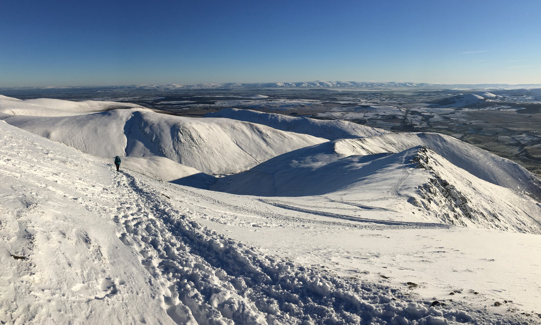
Looking back to our descent from Atkinson Pike.......
..and here it is in panorama.
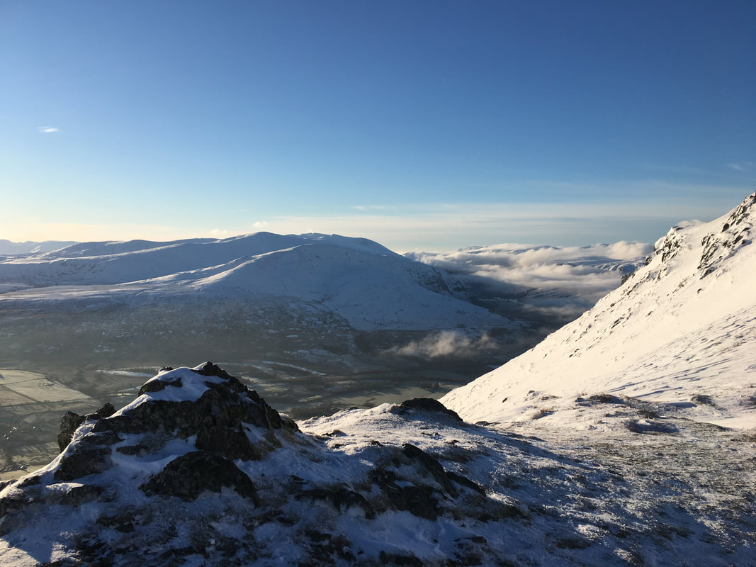
From the col between Atkinson Pike & Bannerdale Crags.
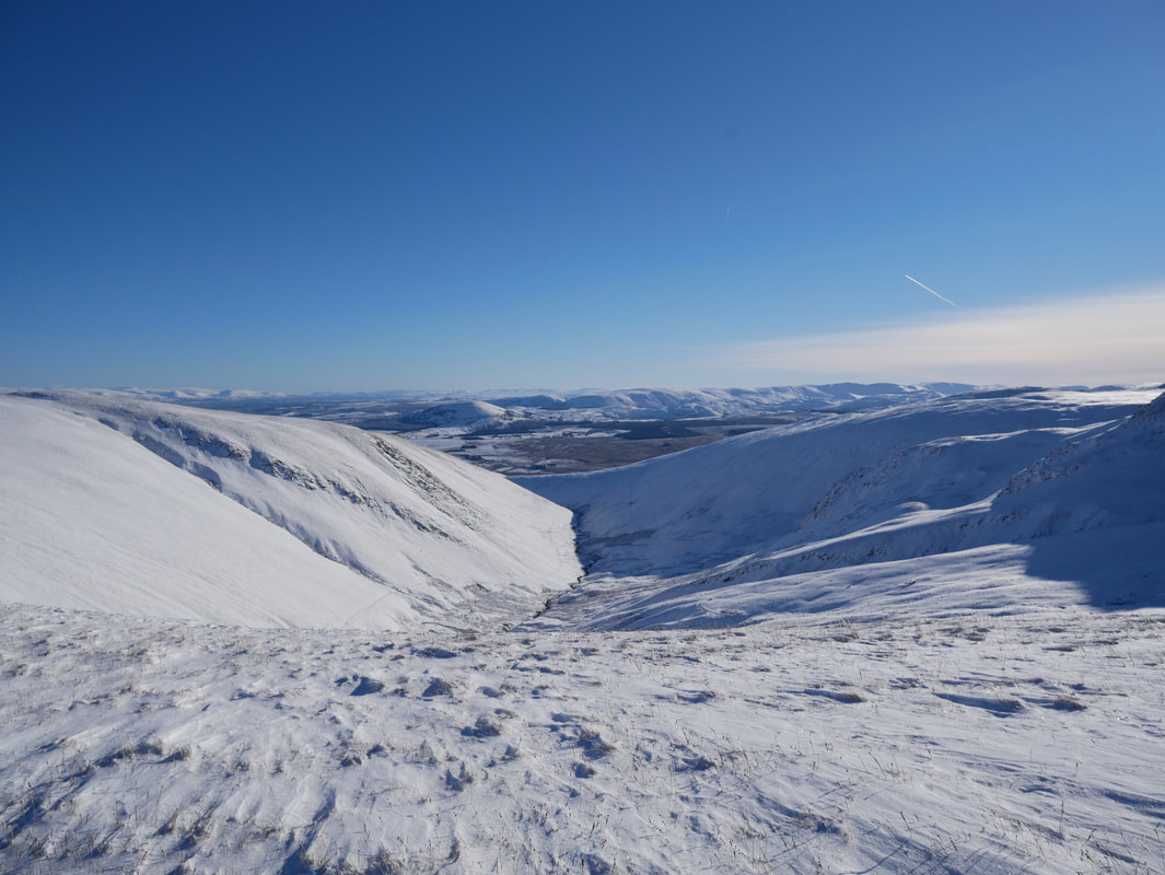
Our route down to Mousthwaite Comb would follow the left hand side of the River Glenderamackin which can be seen in the valley below.
Our route down to Mousthwaite Comb would follow the left hand side of the River Glenderamackin which can be seen in the valley below.
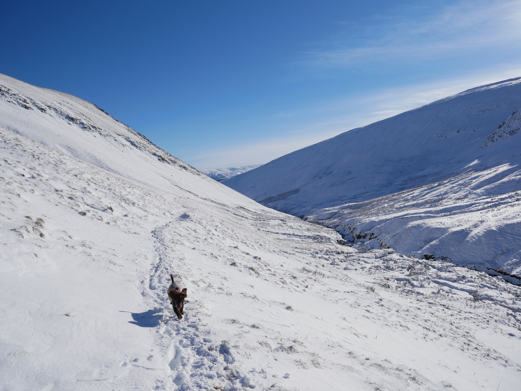
The descent from the col alongside the River Glenderamackin
Fudge as usual was in his element
A last look at Sharp Edge before we drop down to Mousthwaite Comb
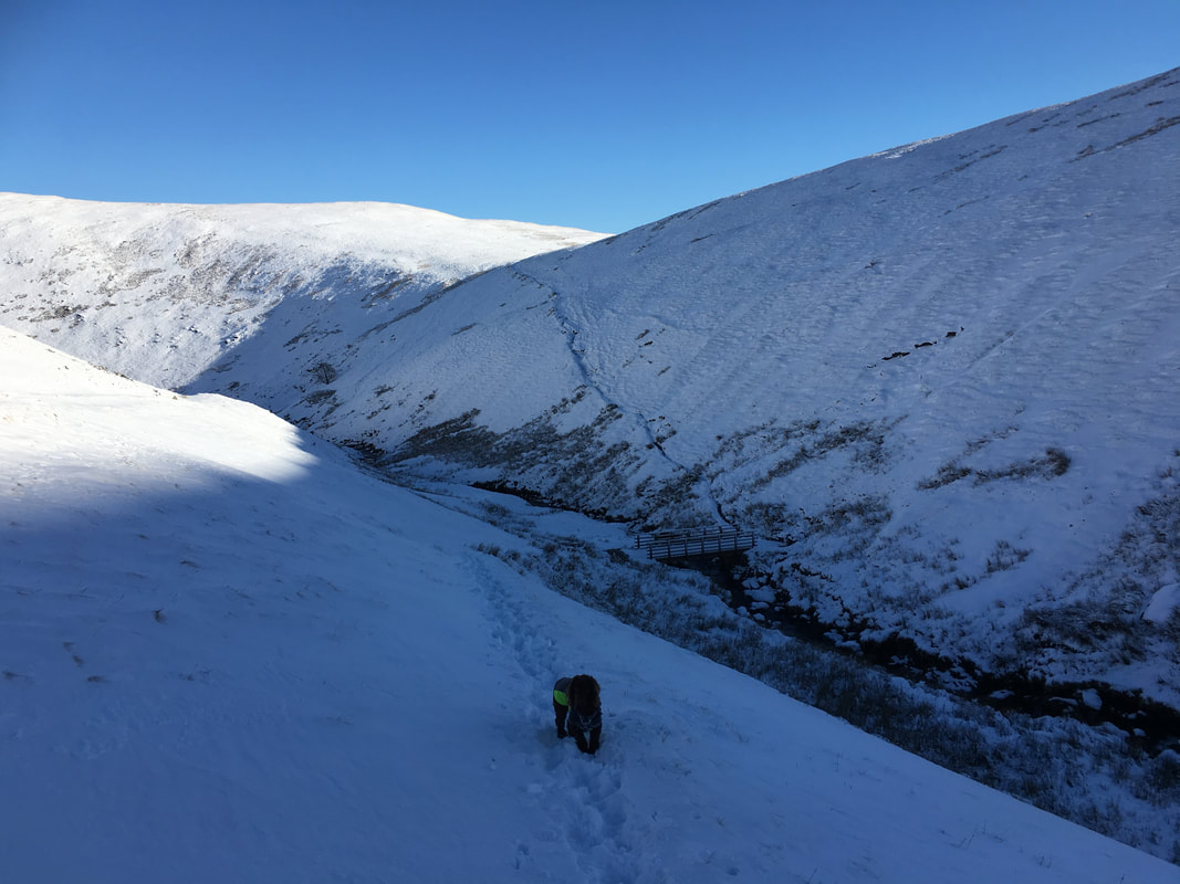
The footbridge over the River Glenderamackin.
We crossed the bridge and headed up to the col to gain the Mousthwaite Comb path.
We crossed the bridge and headed up to the col to gain the Mousthwaite Comb path.
The icy path descending Mousthwaite Comb
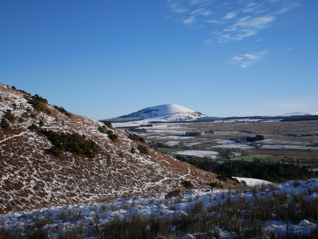
Great Mell Fell across Mousthwaite Comb - now that was a cracking day out
