Catstycam, Helvellyn, White Side & Raise - Wednesday 4 November 2020
Route
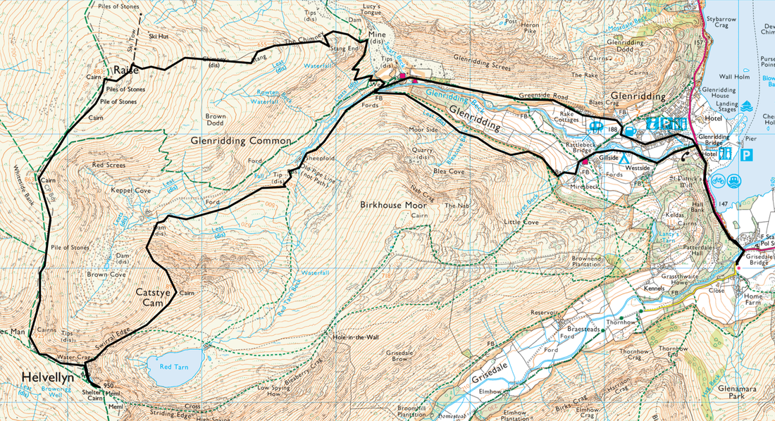
Patterdale - Glenridding - Greenside Road - Glenridding Beck - Keppel Cove Dam - Catstycam North West Ridge - Catstycam - Swirral Edge - Helvellyn - Helvellyn Lower Man - White Side - Raise - The Chimney - Stang - Stang End - Gillside - Glenridding - Patterdale
Parking
Lots of parking in Patterdale - £3 all day (as at 2020) at King George V Car Park (opposite Patterdale Hall) - Grid Ref NY 390160. The nearest postcode is CA11 0PX.
Mileage
11.6 miles
Terrain
Good mountain paths mainly. The ascent of the North Western ridge of Catstycam is steep and over loose stone for most of the transit from Keppel Cove dam.
Swirral Edge is an exposed Grade 1 scramble and in good conditions there is little in the way of technical difficulty however it is exposed in places and it is steeper but shorter than Striding Edge. In strong winds it is best left alone and if covered in ice & snow Crampons and an Ice Axe will be required, obviously with the knowledge in how to use the latter.
Weather
A mixed bag today ranging from low cloud, overcast & sunny spells. Thankfully we had no rain and very little wind.
Time Taken
7hrs 45mins
Total Ascent
3372ft (1028m)
Wainwrights
4
Map
OL5 - The English Lakes (North Eastern Area)
Walkers
Dave, Angie & Fudge
|
GPX File
|
| ||
If the above GPX file fails to download or presents itself as an XML file once downloaded then please feel free to contact me and I will send you the GPX file via e-mail.
Route Map
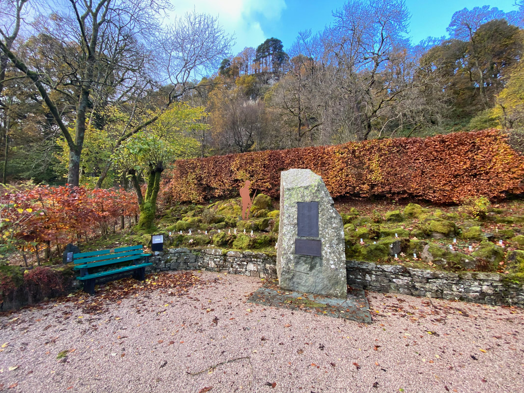
The War Memorial between Patterdale & Glenridding
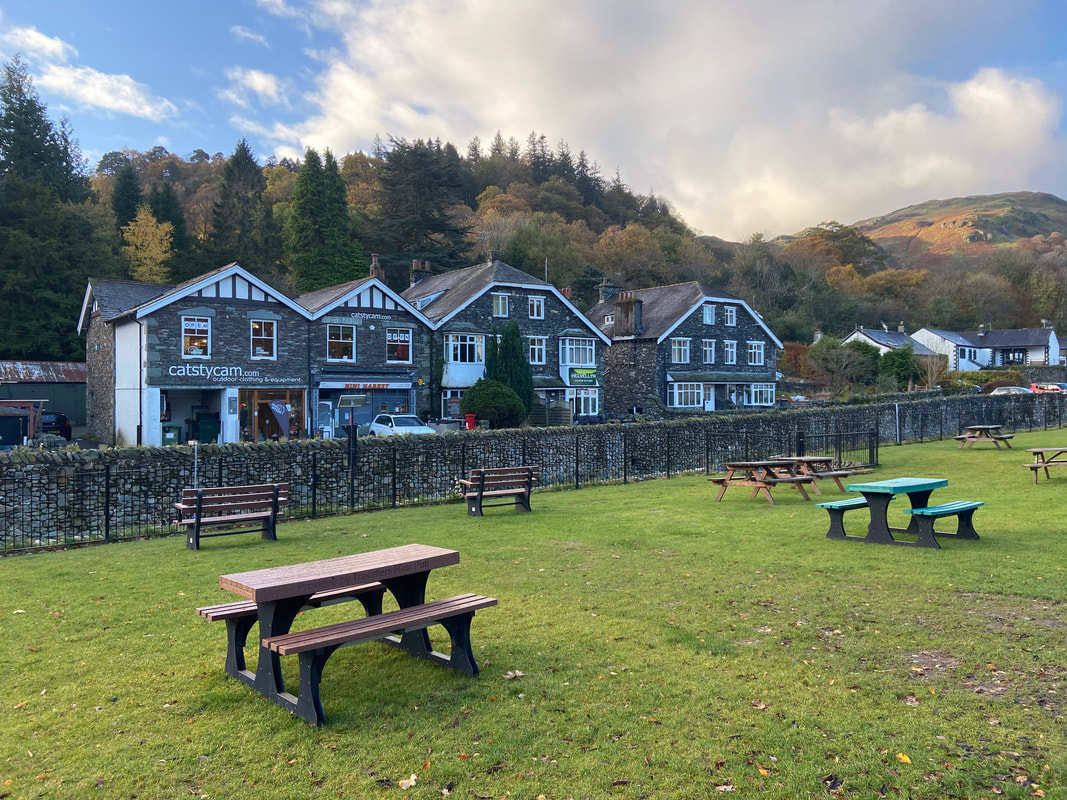
Glenridding - nice and quiet here today
The route follows the road on the northern side of Glenridding Beck towards Greenside. To the right are Glenridding Dodd & Heron Pike which are separated by a steep grassy slope called The Rake.
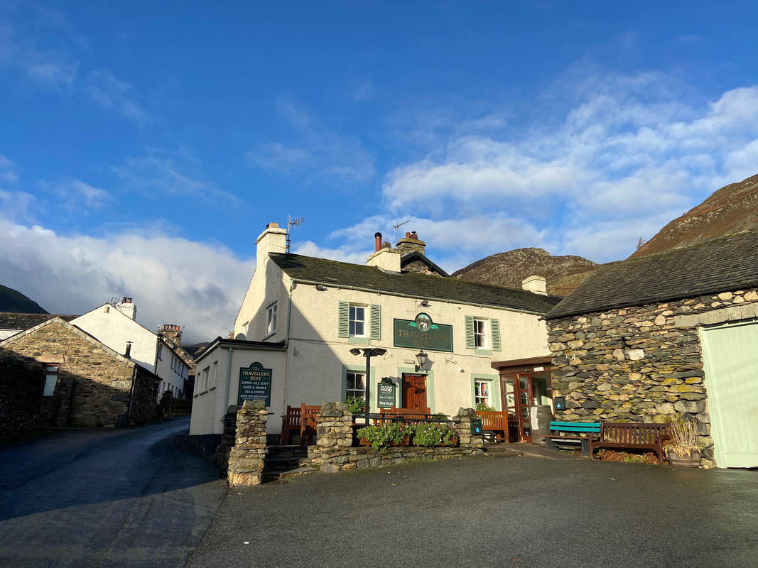
The route continues steeply out of Glenridding on Greenside Road and passes The Travellers Rest
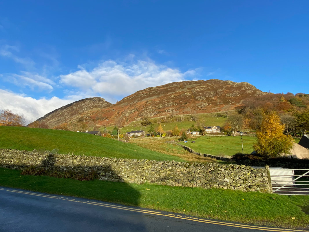
The Nab on Birkhouse Moor
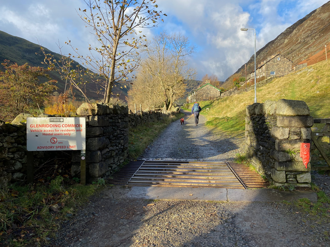
Crossing the Cattle Grid the road becomes a track and continues on towards the Youth Hostel and the disused Greenside Lead Mine
Looking over Glenridding Beck to Birkhouse Moor
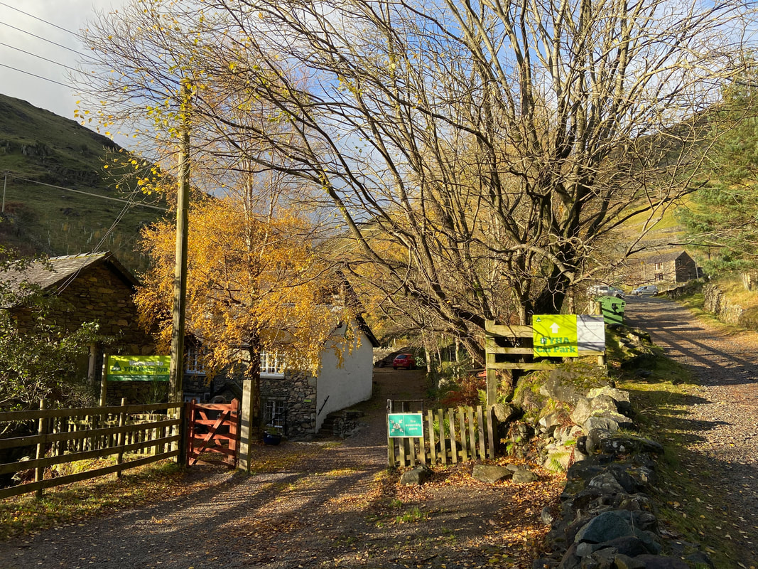
YHA Helvellyn with the old Greenside Mine Buildings ahead on the right
Swart Beck looking to Stang End. The Greenside Mine Buildings are to the left - some of the buildings are disused however most have been converted into private hostels.
Just above the Greenside Mine Buldings are a junction of paths. The left hand path was the one we took today which is not the recognised route to Keppel Cove - for those wanting an easier and more prominent path to Keppel Cove, turn right here then sharp left to head via the northern bank of Glenridding Beck.
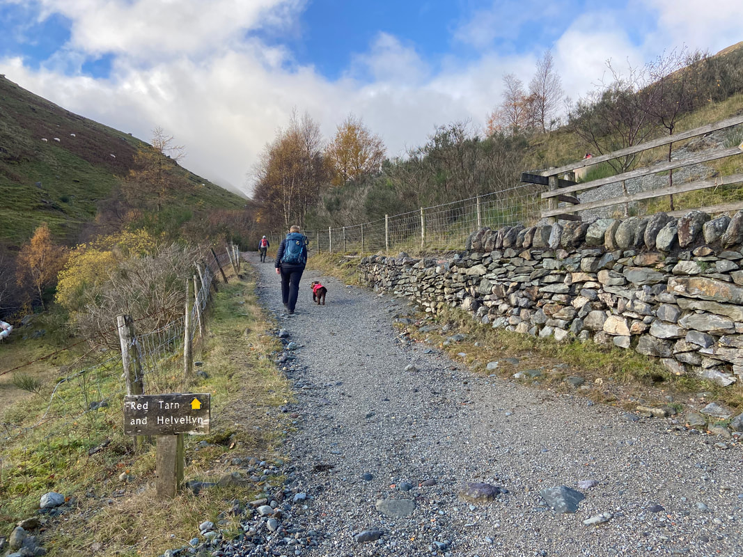
On the left hand path which is the normal route to Helvellyn via Red Tarn and crosses Glenridding Beck by way of a footbridge a little further up. Later on we would turn right off this path towards Keppel Cove.
Heading along the southern side of Glenridding Beck with the north west ridge of Catstycam now visible in the centre of shot.
It was here we were asked by a walker with very little in the way of kit whether Catstycam was Helvellyn and how long did we think it would take him to get back to Glenridding via Helvellyn and by what route. In these situations it is best to educate rather than mock and that is exactly what we did.
It was here we were asked by a walker with very little in the way of kit whether Catstycam was Helvellyn and how long did we think it would take him to get back to Glenridding via Helvellyn and by what route. In these situations it is best to educate rather than mock and that is exactly what we did.
Looking back to the Glenridding Screes & Heron Pike
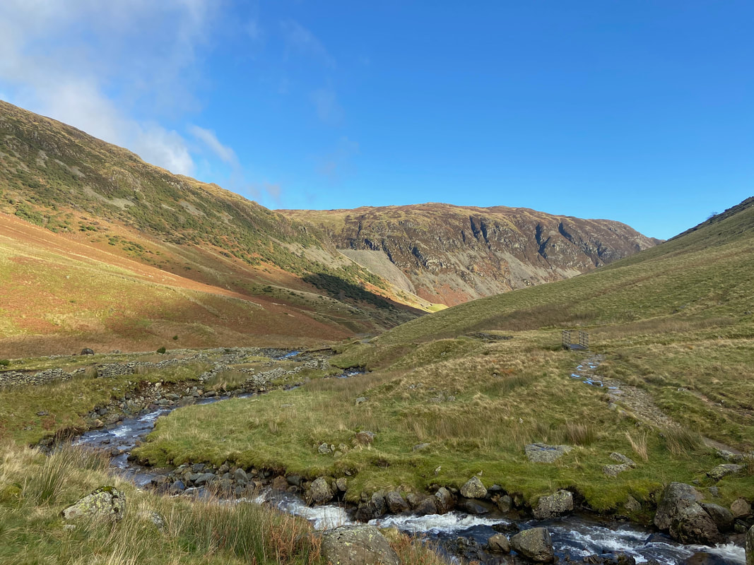
Shortly after leaving the main Red Tarn & Helvellyn path the Keppel Cove dam comes into view. From here the path is vague in parts however the terrain is pretty good all the way to the dam.
Just before reaching the dam wall the remnants of an old track appear
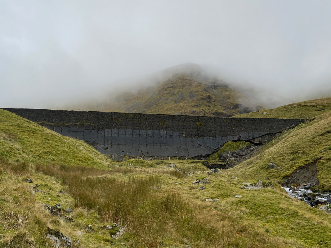
The dam at Keppel Cove
Keppelcove Tarn is a few yards behind the dam and served as a reservoir for the Greenside Lead Mine down in the valley. In 1927 a fierce storm washed away part of the original embankment which in turn raised the waters of the tarn. Consequently a huge amount of water cascaded itself down the valley towards Ullswater causing severe damage to properties in Glenridding. The original dam was replaced with this concrete one in 1928 but once again the dam was breached due in the main to its extremely poor construction. The breach can be clearly seen here on the right hand side - it was never repaired and the tarn has since all dried up.
Keppelcove Tarn is a few yards behind the dam and served as a reservoir for the Greenside Lead Mine down in the valley. In 1927 a fierce storm washed away part of the original embankment which in turn raised the waters of the tarn. Consequently a huge amount of water cascaded itself down the valley towards Ullswater causing severe damage to properties in Glenridding. The original dam was replaced with this concrete one in 1928 but once again the dam was breached due in the main to its extremely poor construction. The breach can be clearly seen here on the right hand side - it was never repaired and the tarn has since all dried up.
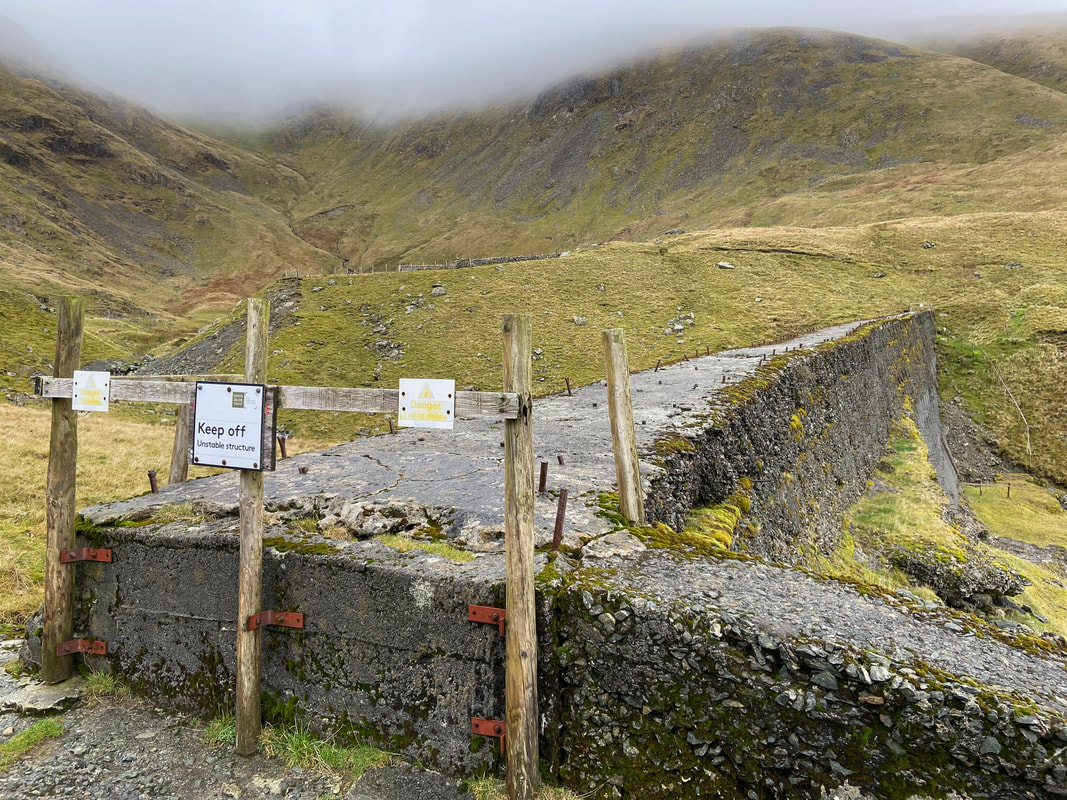
The top of the dam wall - on no account should an attempt be made to cross from one side of the beck to the other. As can be seen, it is in a pretty fragile state and anyway it is easy enough to cross over either side of the dam. The embankment of the original dam can be seen to the rear with the dried up tarn behind it.
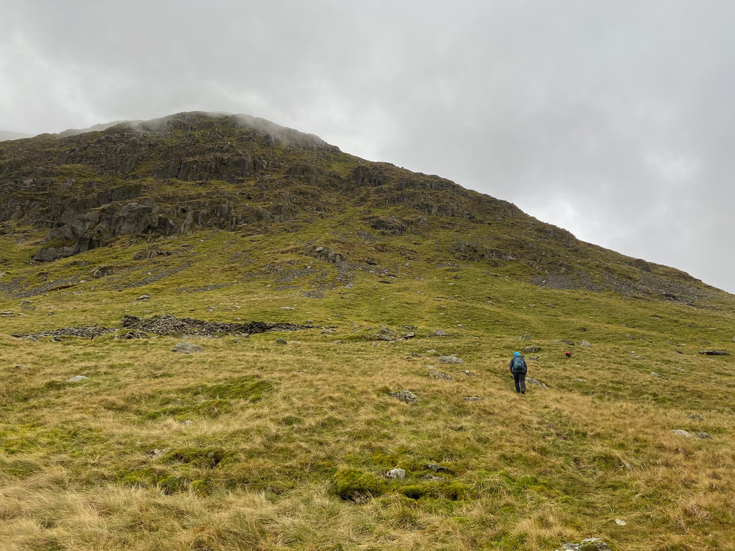
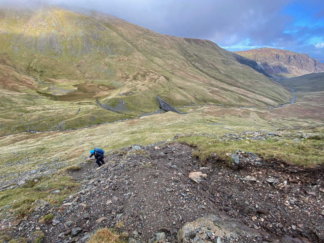
The start of the climb up Catstycam's north west ridge. A vague path of sorts makes its way up the fell side and it is just a question of heading to the ridge ahead as best you can.
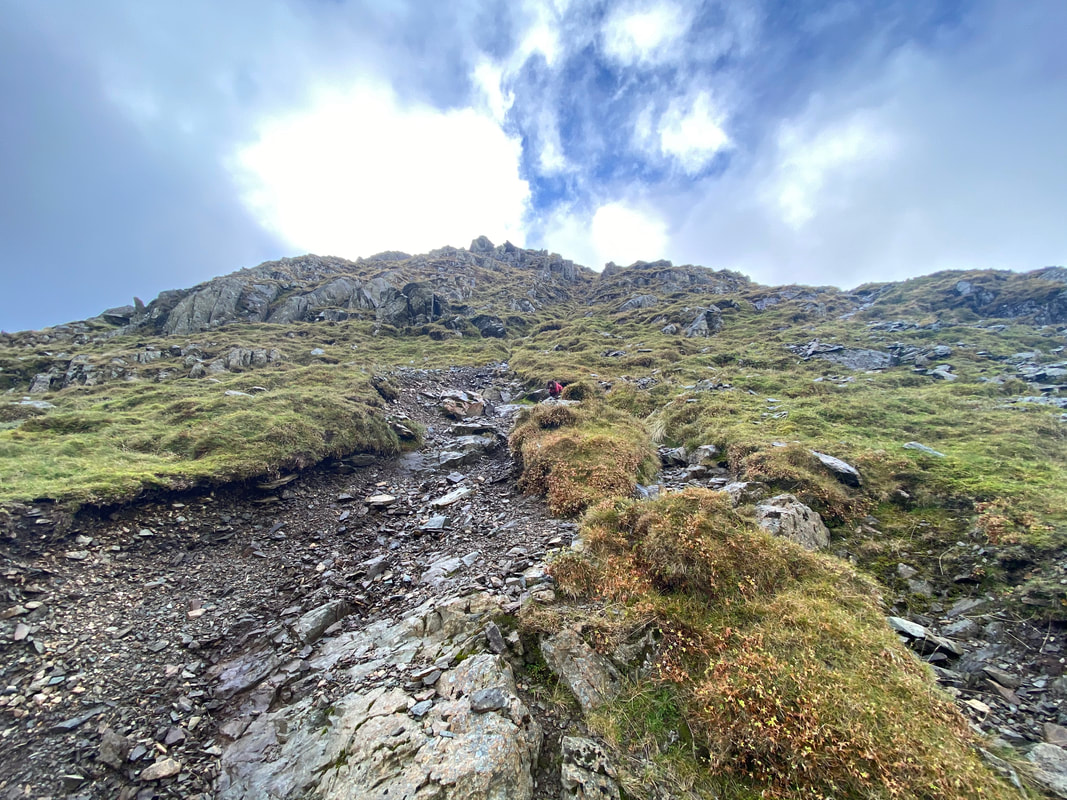
Reaching the ridge a path materialises which can be followed all the way to the summit. The going is steep and over rough stone & scree therefore care needs to be taken on the ascent.
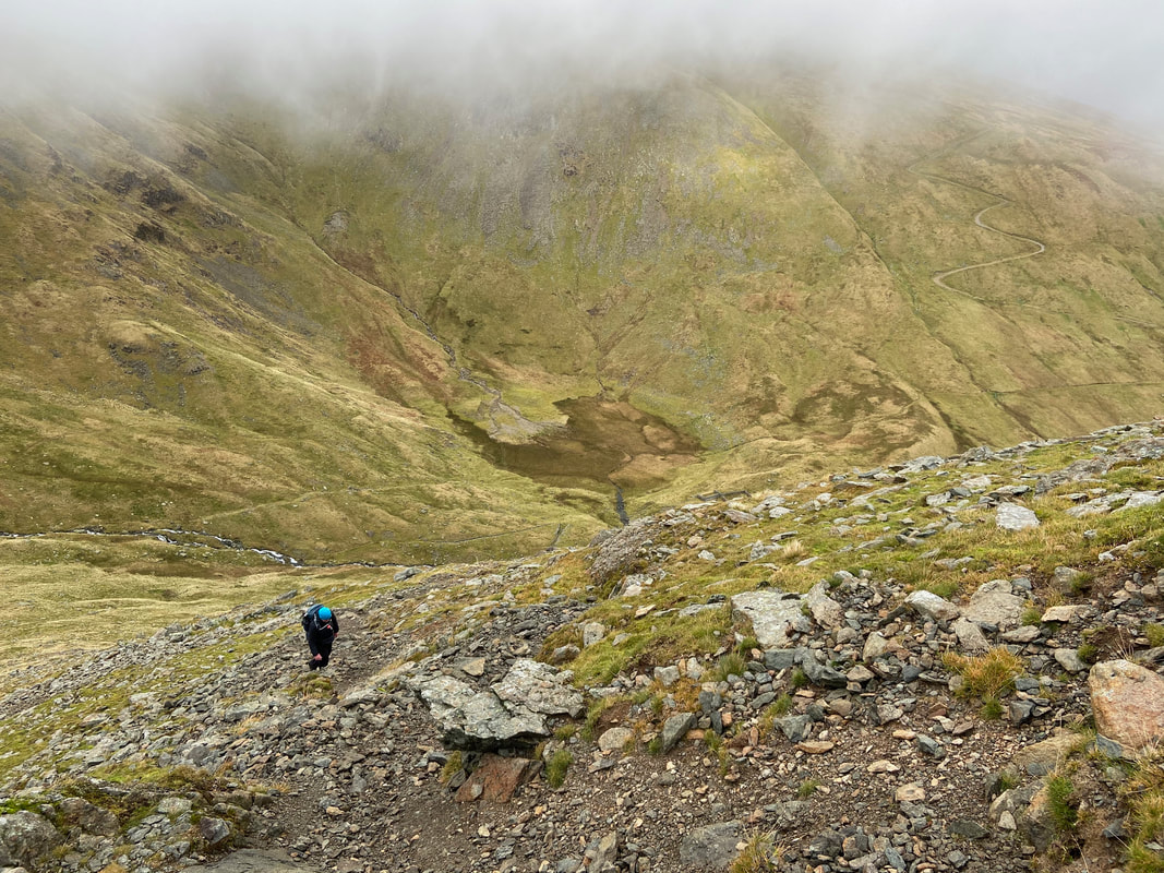
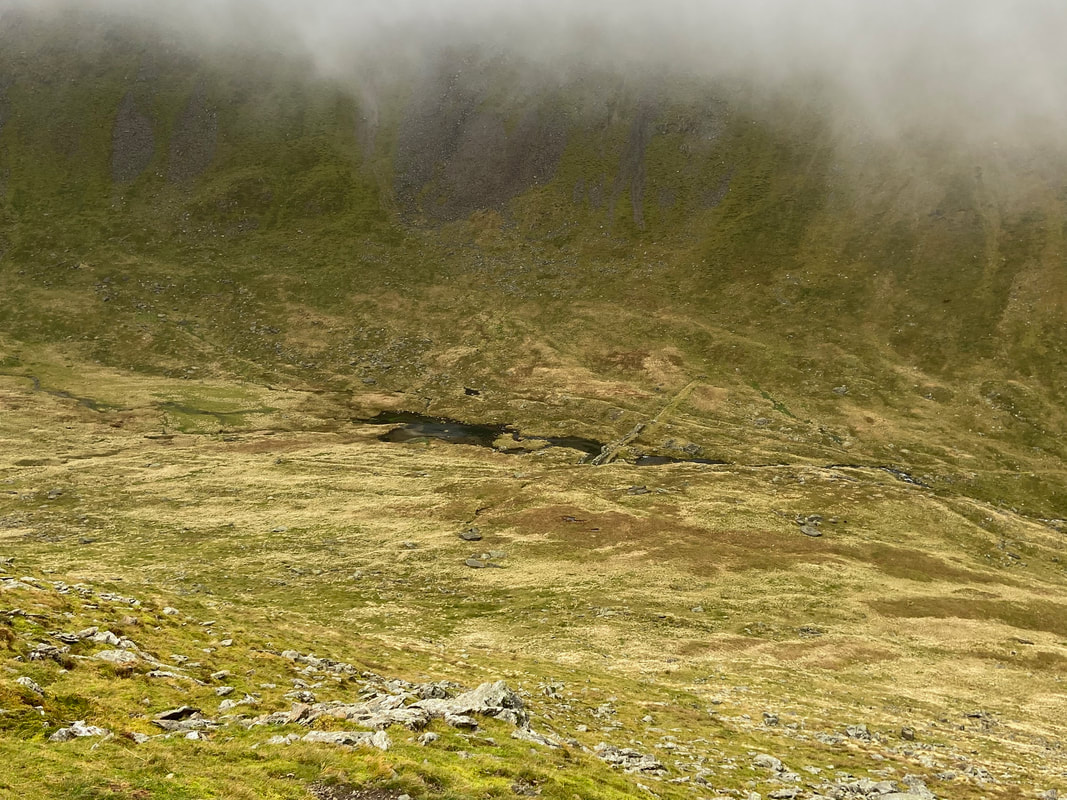
Looking back down into Keppel Cove from the ascent of Catstycam. The embankments of the original dam can now be seen more clearly as can the now dried up Keppelcove Tarn
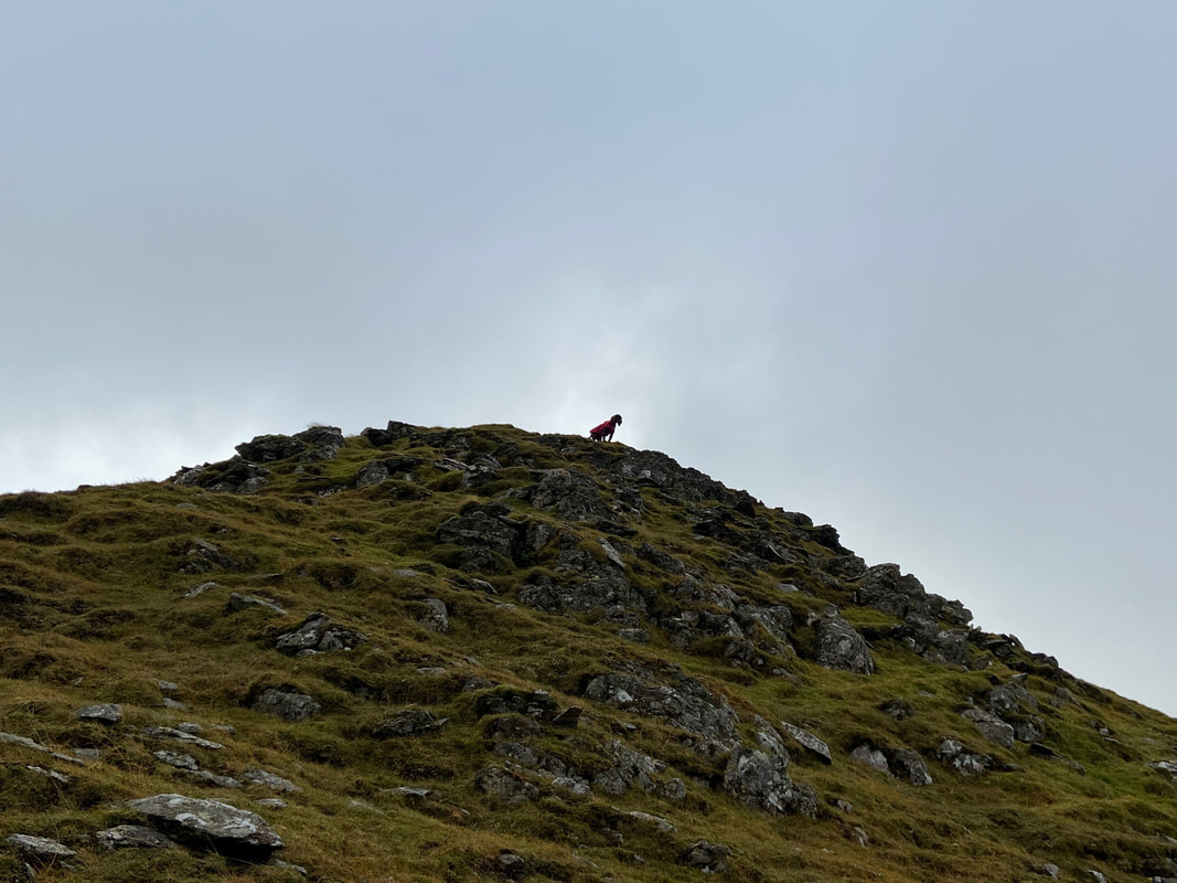
As usual "Heap Little Brown Cloud" was ahead of the game.
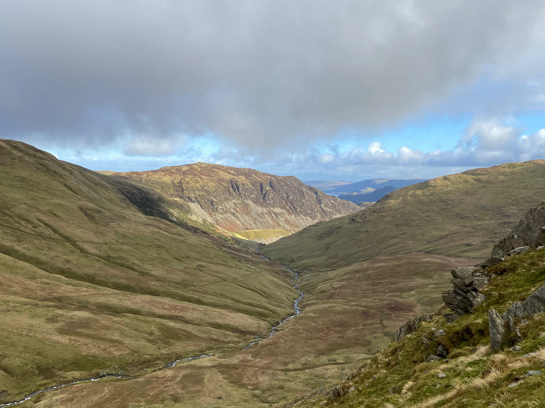
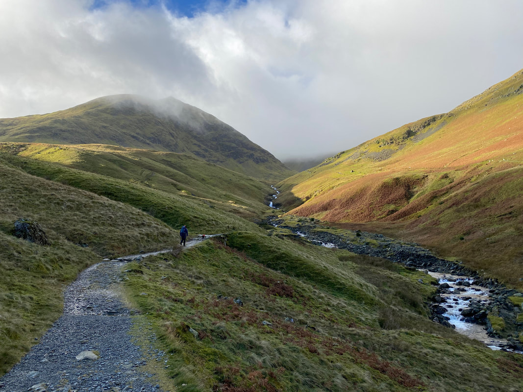
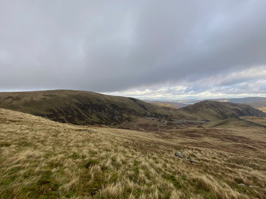
The superb view down the valley from the north west ridge of Catstycam.
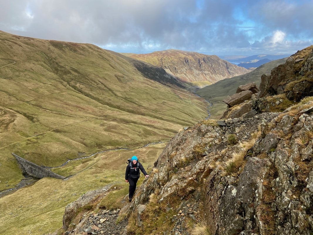
Angie on the north west ridge of Catstycam. Above Glenridding Beck the upper path alongside the beck can clearly be seen.
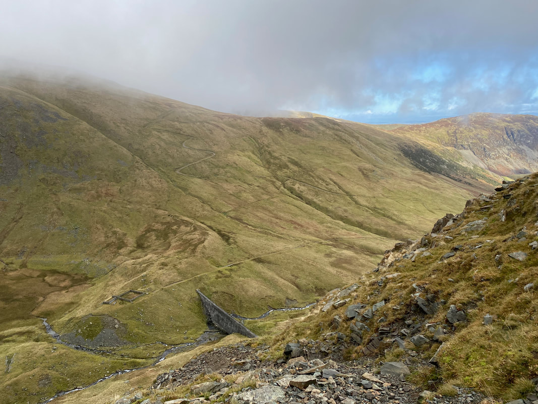
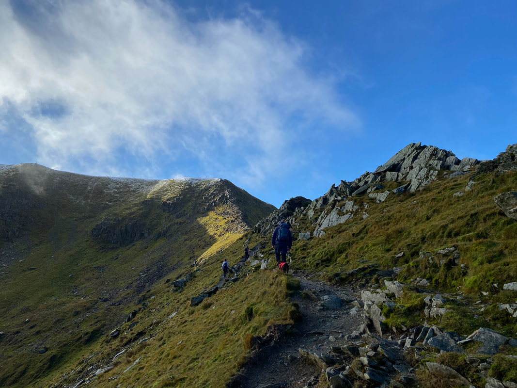
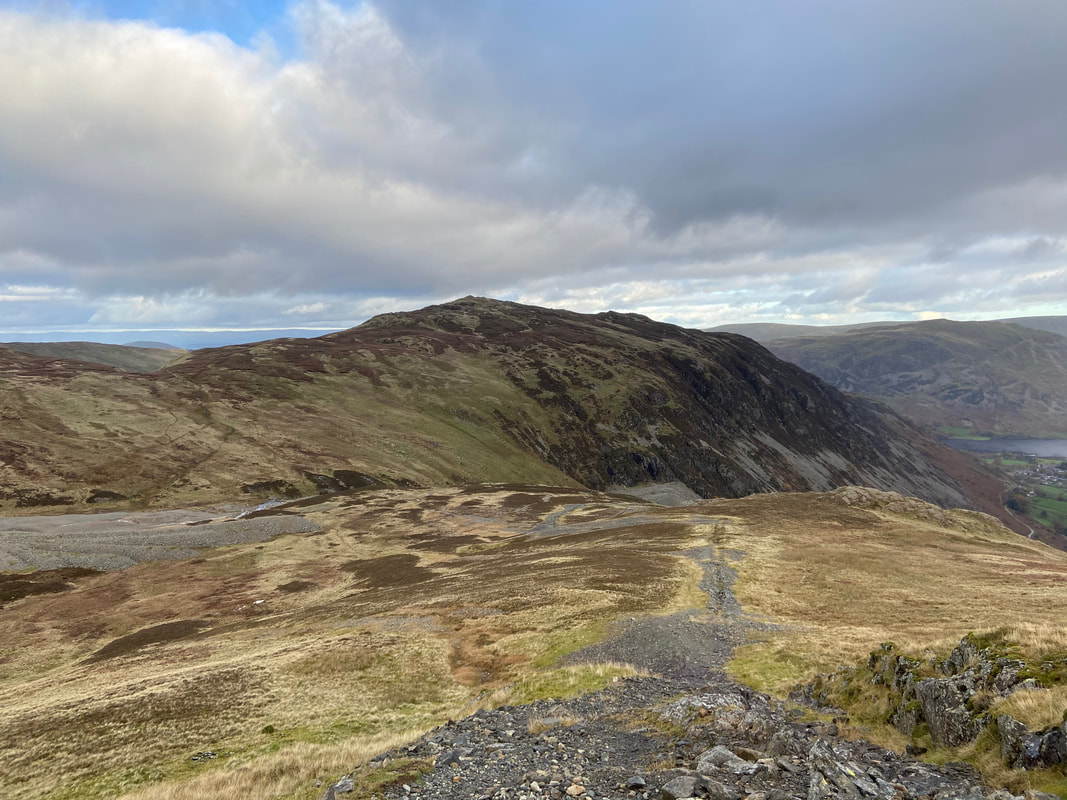
A little further round and the zig zagging Keppel Cove path that leads to the col between Raise & White Side can be seen snaking its way up the fell side.
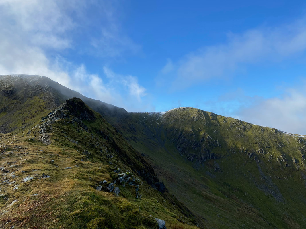
A good view of the terrain and steepness up the north west ridge of Catstycam - pick your way up and watch your footing.
Looking into Brown Cove
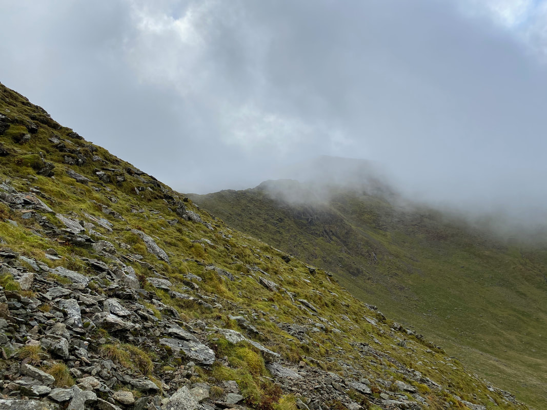
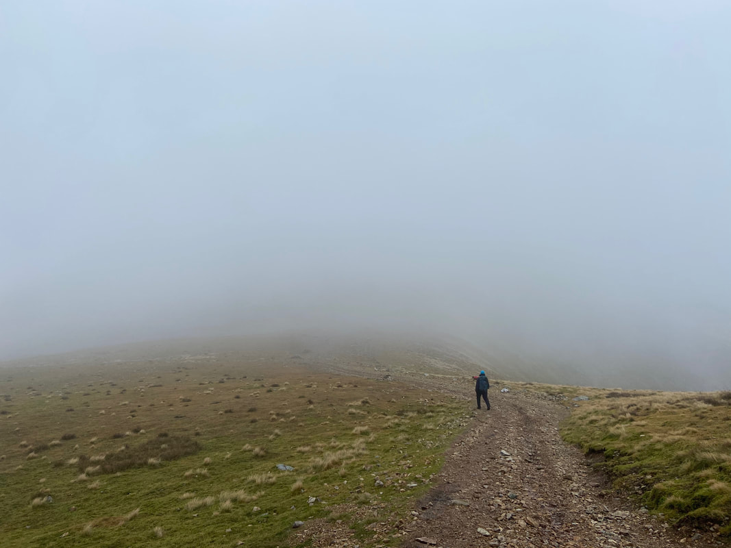
As height is gained Swirral Edge comes into view. At this point we thought we were going to be plagued by low cloud for the rest of the day - we would see!
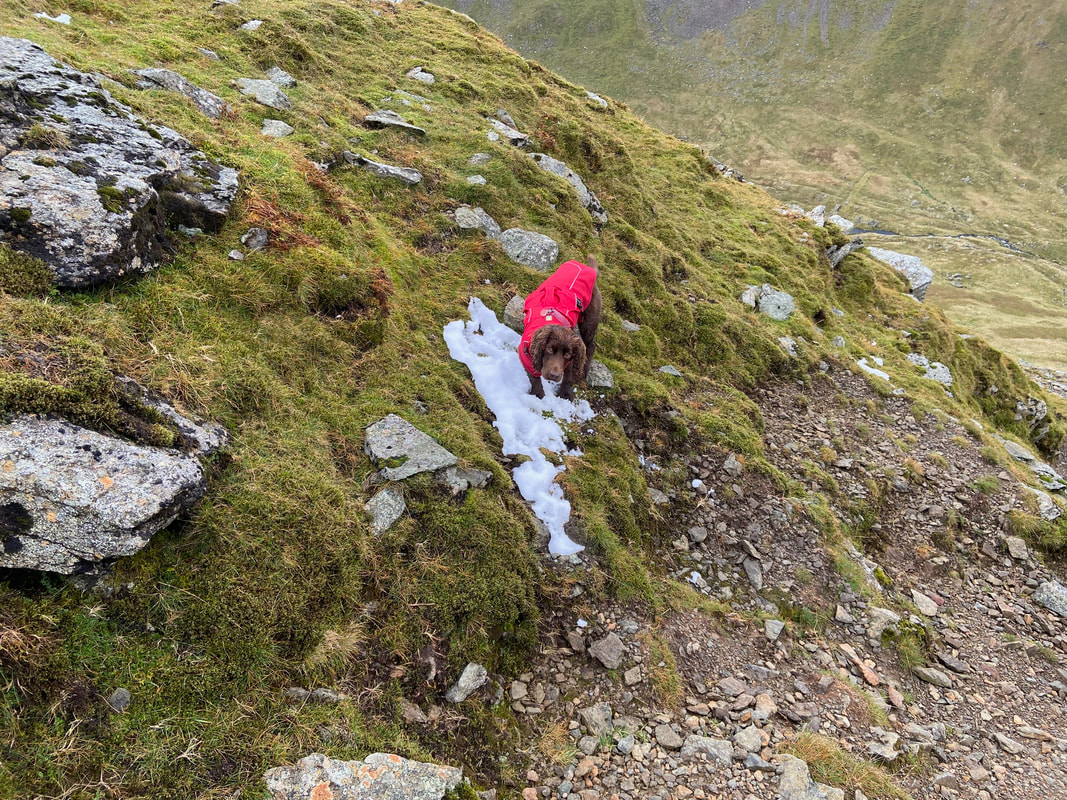
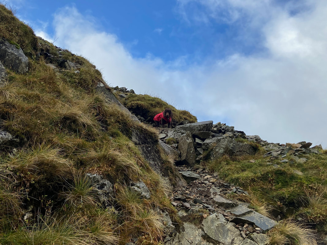
Fudge is obsessed with the white stuff therefore was overjoyed to find this small area to arse about in.
Nearing the summit you would be wrong in thinking that this is the top - there is a sting in the tail unfortunately...........
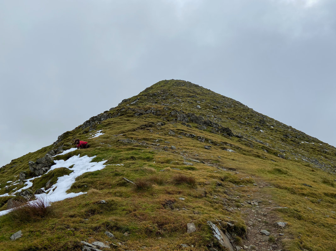
....... and here it is!
A final look into Keppel Cove from near the summit of Catstycam
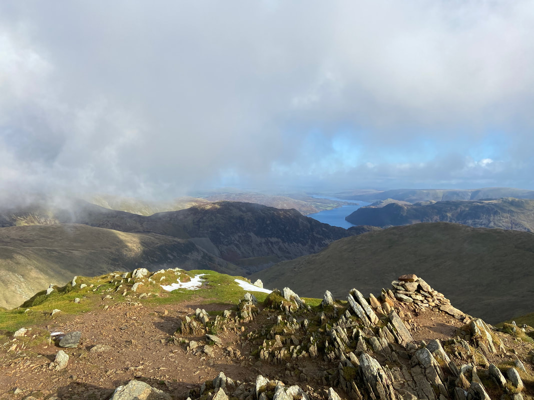
The glorious view from the summit of Catstycam - and we had it all to ourselves
Swirral Edge & Helvellyn from Catstycam. The low cloud was still hanging about unfortunately.
Approaching the junction with the path coming up from Red Tarn on the left hand side
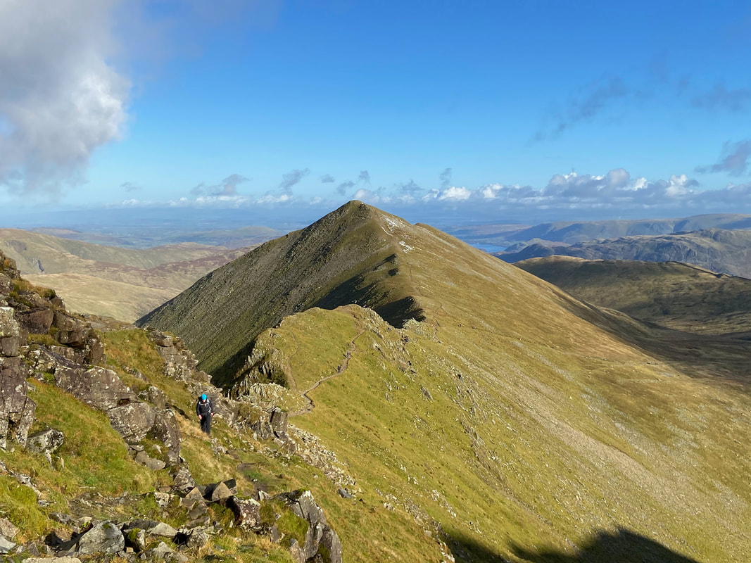
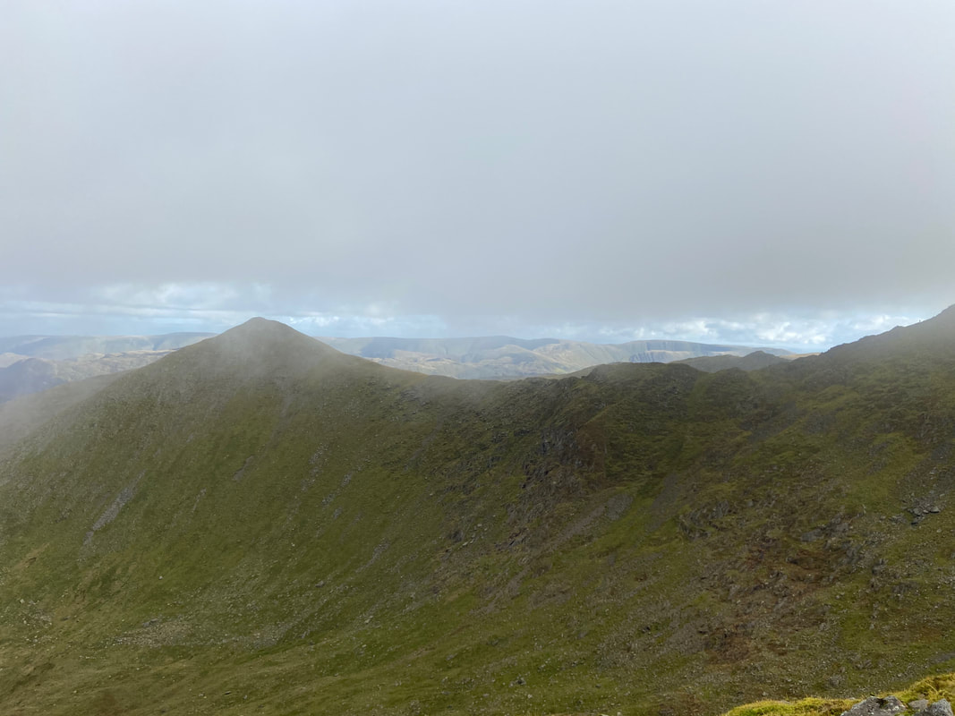
White Side & Raise across Brown Cove - we would be over that way soon
Swirral Edge & Helvellyn Lower Man
Looking back to Catstycam from the start of the ascent over Swirral Edge
Fudge and I near the path junction as we start the ascent of Swirral Edge. Depending on how you feel and your ability, it is up to you whether you take the route up to the right therefore transiting across the edge fully or follow this lower path up for a 100 yards or so joining the edge further up. Either way is enjoyable.
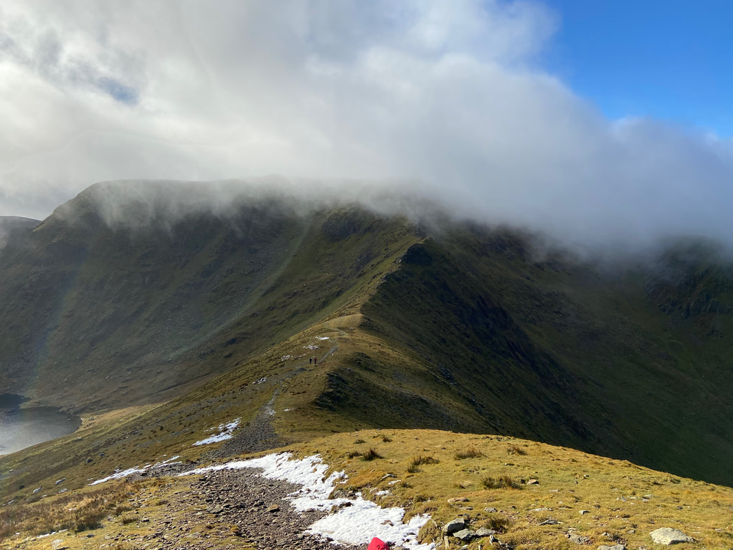
Angie on Swirral Edge looking back to Catstycam
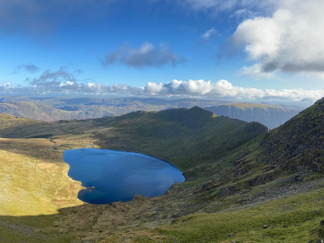
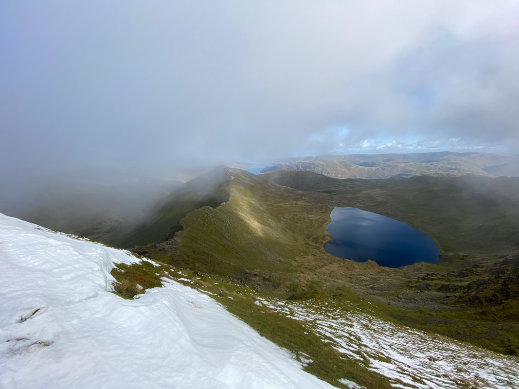
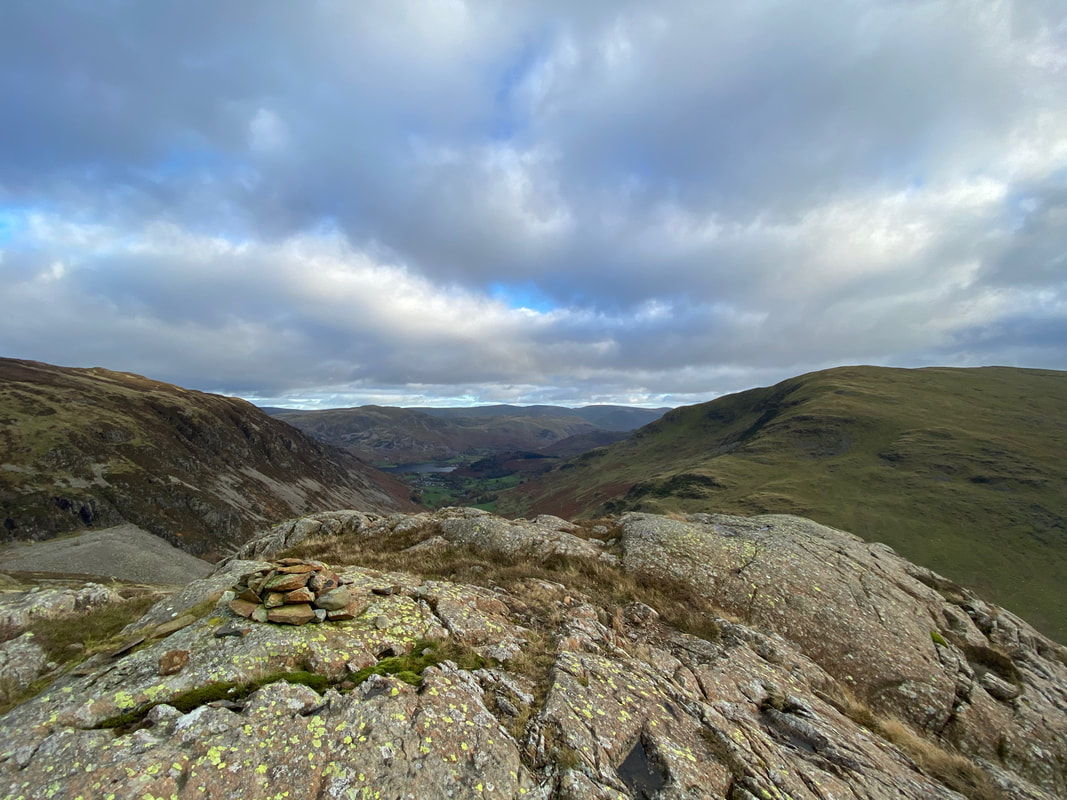
Red Tarn & Striding Edge
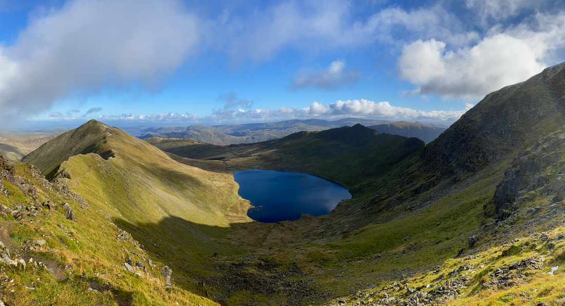
Catstycam, Swirral Edge, Red Tarn & Striding Edge. Got to be one of the best views in the Lake District in my opinion, especially on a day like today.
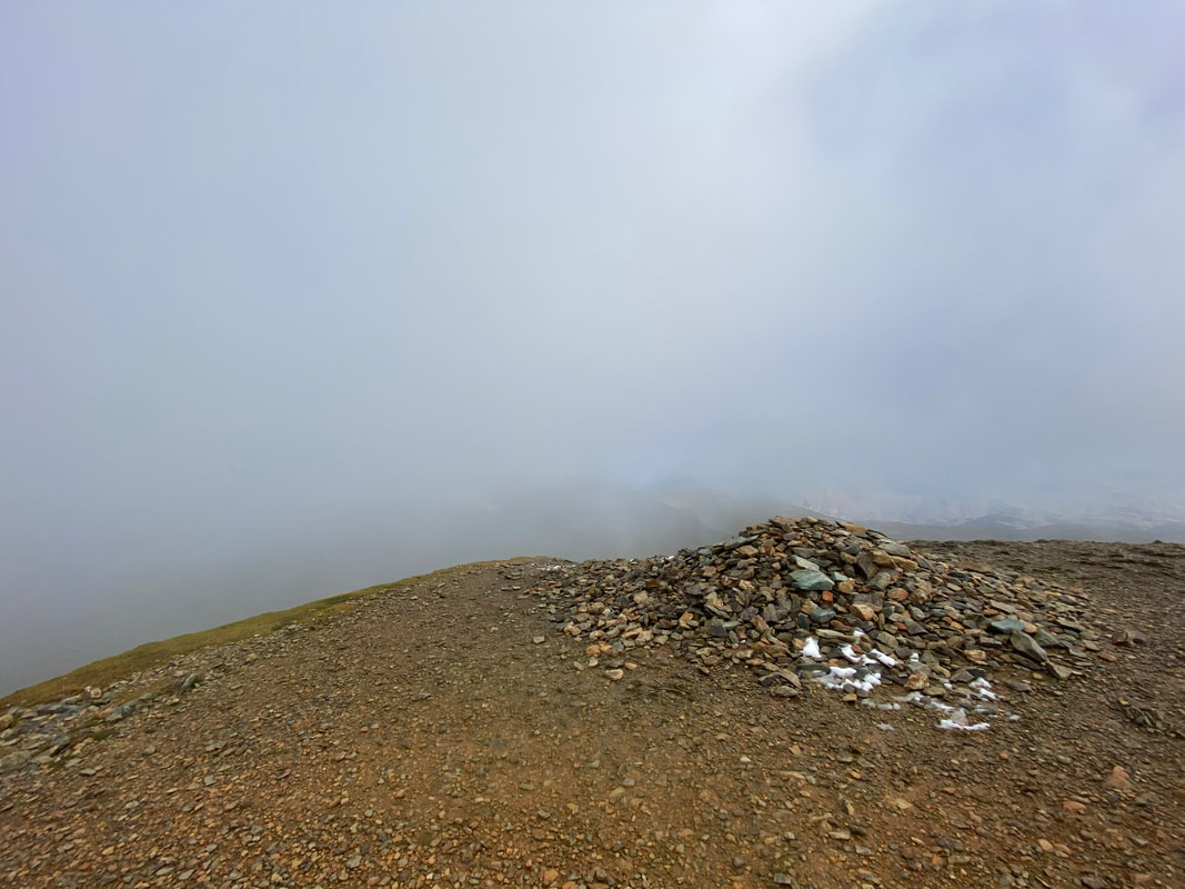
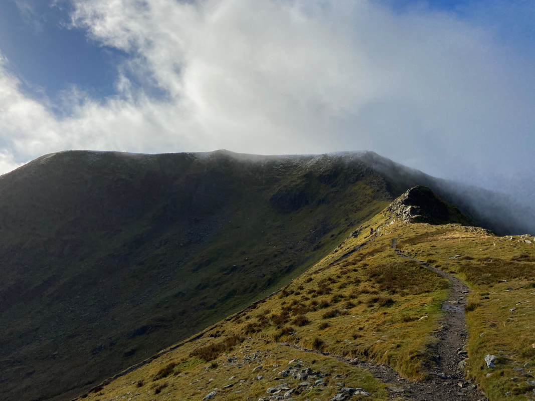
It was still a bit claggy on Helvellyn as we popped up from Swirral Edge to reach the cairn that marks the top of the edge.
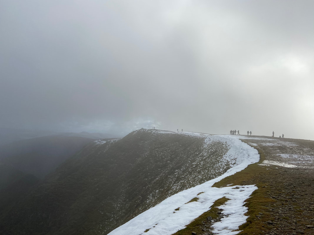
Looking along the Helvellyn summit plateau. Even though we had a little snow fall over the past couple of days, cornicing was already clearly in evidence on the edges.
Another look at Swirral Edge from Helvellyn's summit ridge
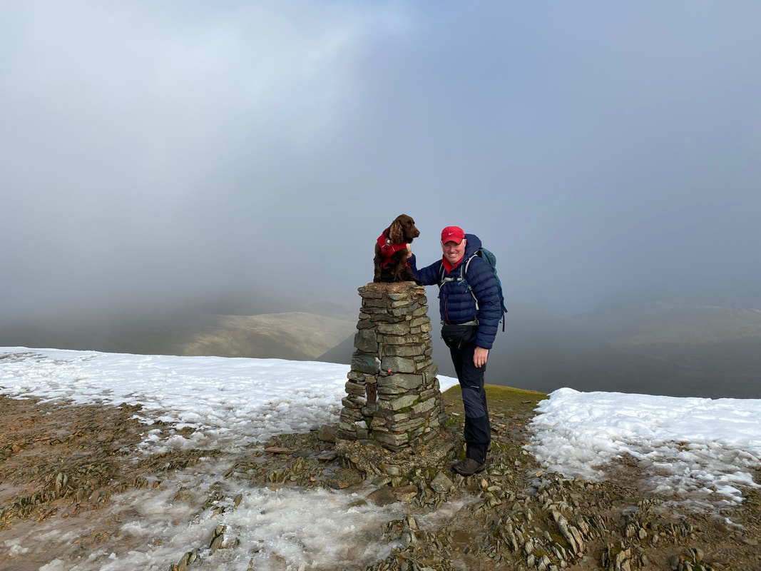
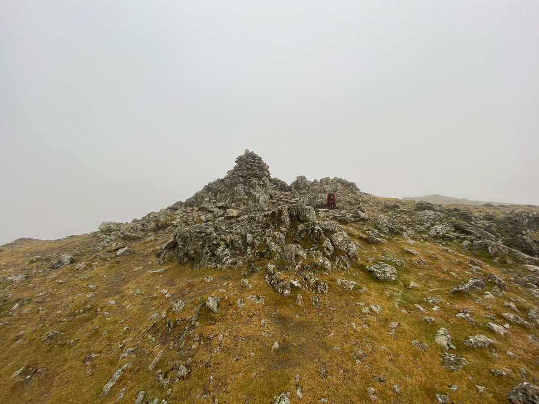
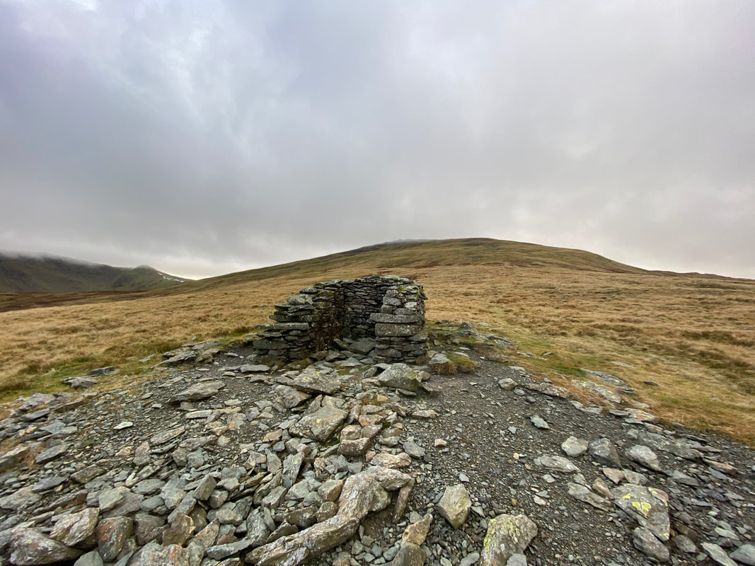
With Fudge at the Trig Point on Helvellyn's summit - the summit cairn lies a few yards to the east.................
............. and here it is
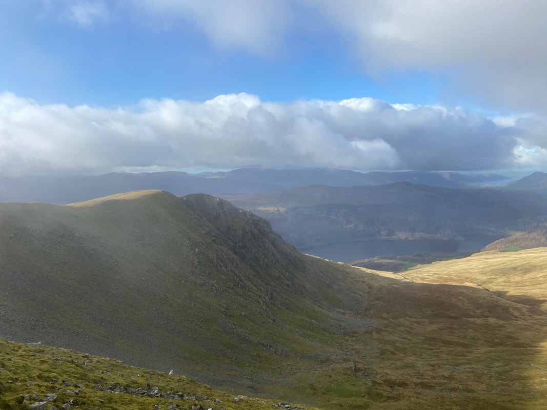
Browncove Crags & Thirlmere
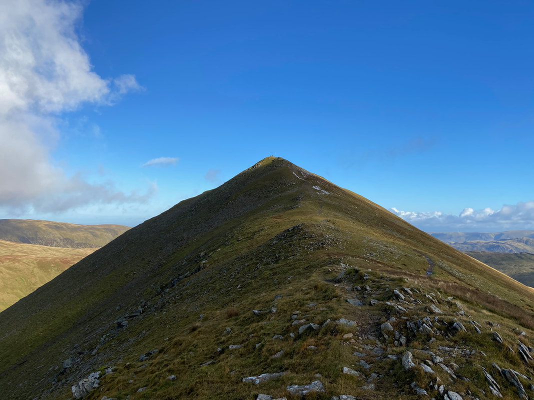
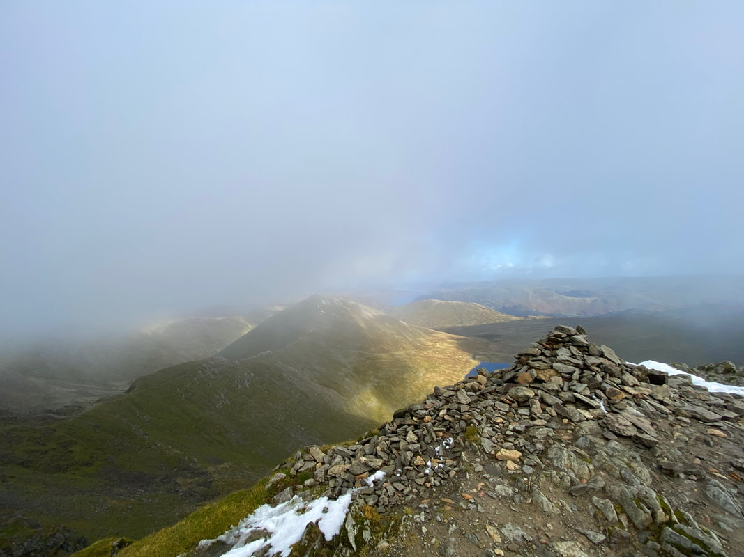
Catstycam & Swirral Edge from Helvellyn Lower Man
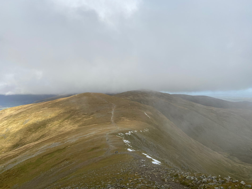
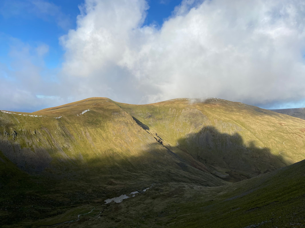
The steep descent from Helvellyn Lower Man to White Side
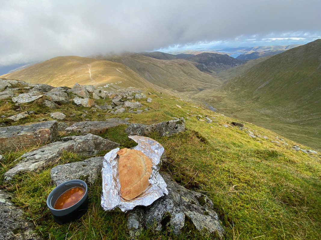
After all that climbing it was time to get out of the wind and crack open the scran. A lovely bit of soup and a Janner's Mouth Organ - superb.
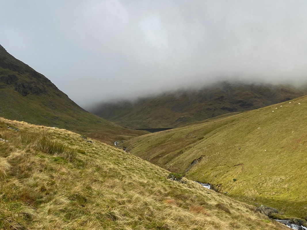
The wind shelter on the summit of White Side - as you can see the weather had closed in
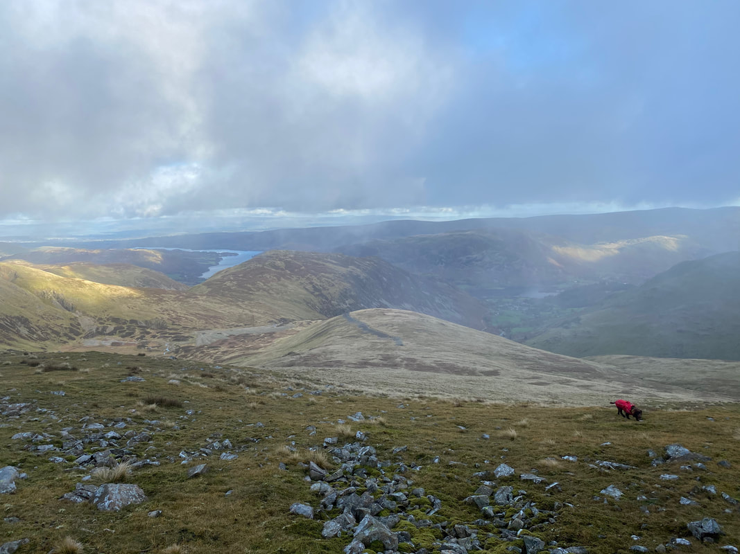
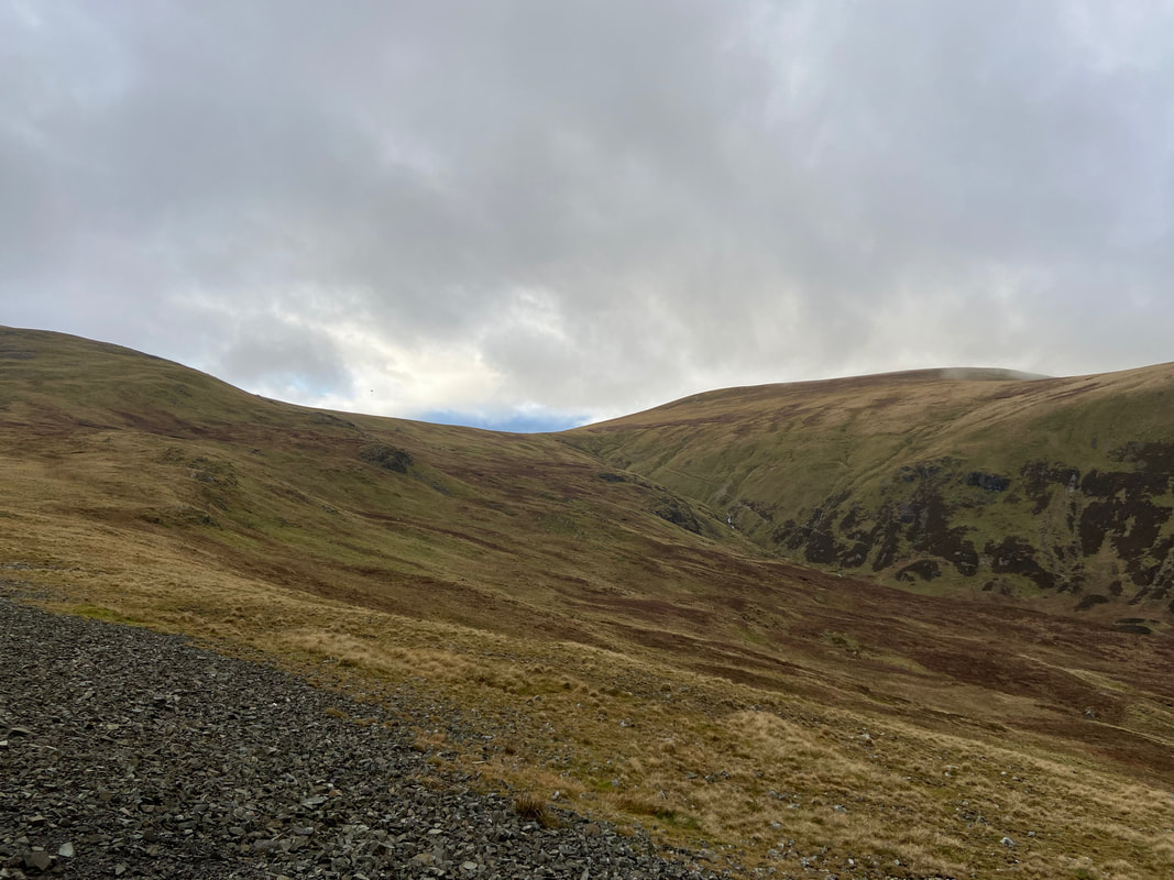
Heading from White Side to Raise - no views today
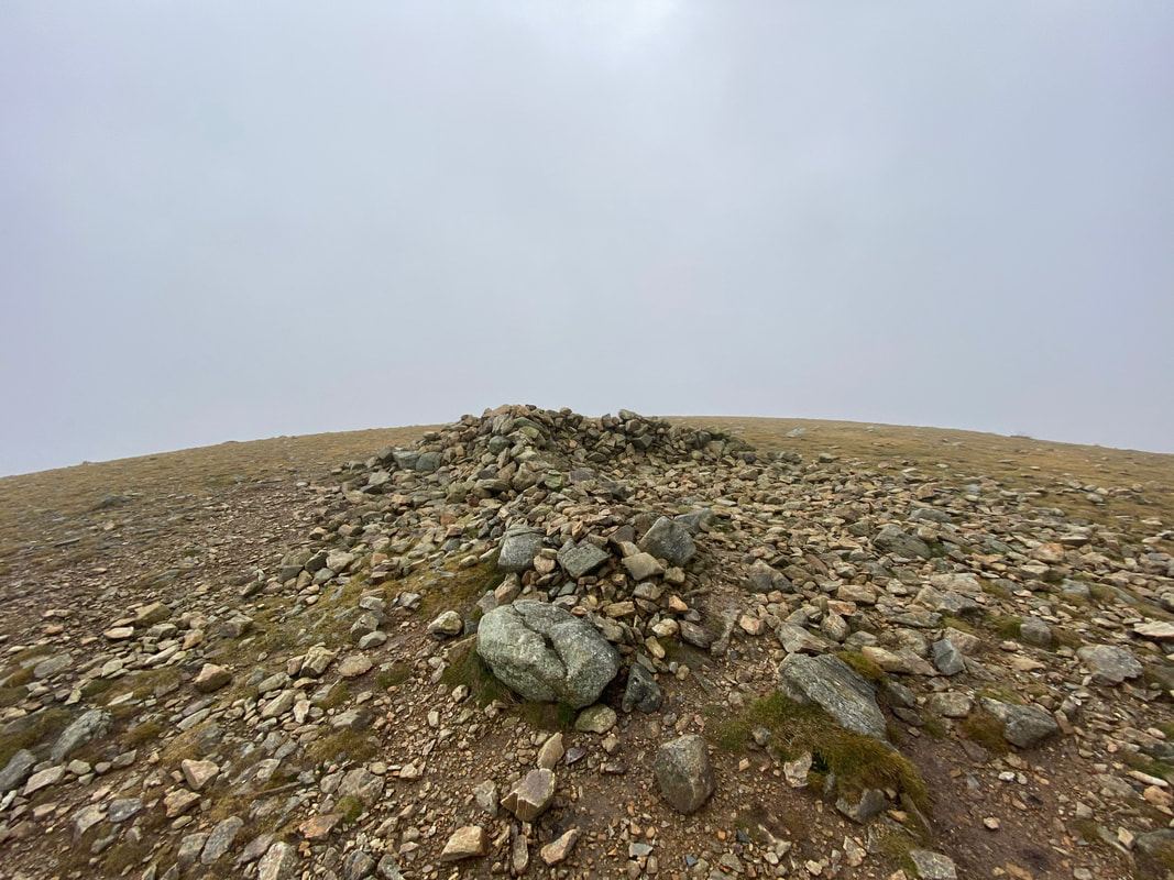
The summit of Raise. We have been here many times therefore know what the view is like therefore had to imagine it today.
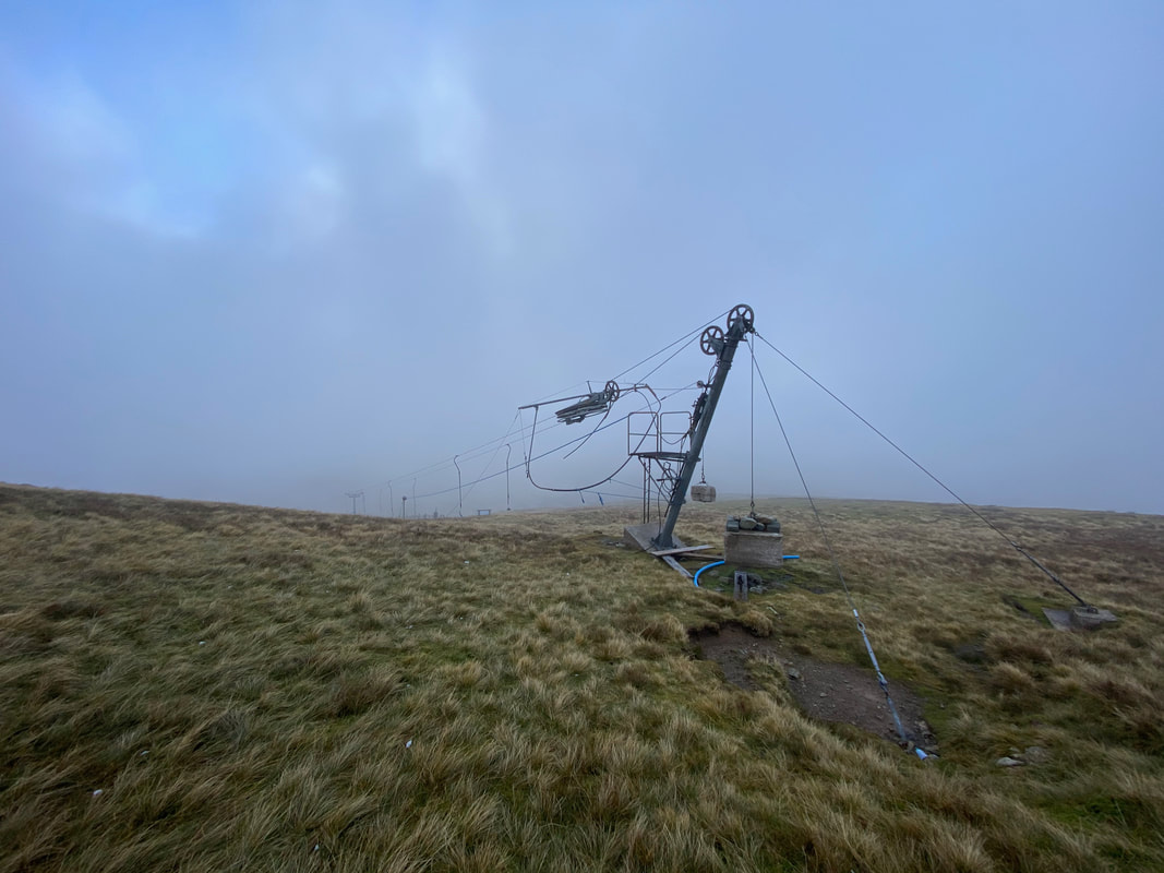
The ski tow below the summit of Raise. The tow is a 360 metre button tow and is managed by the Lake District Ski Club which was founded in 1936.
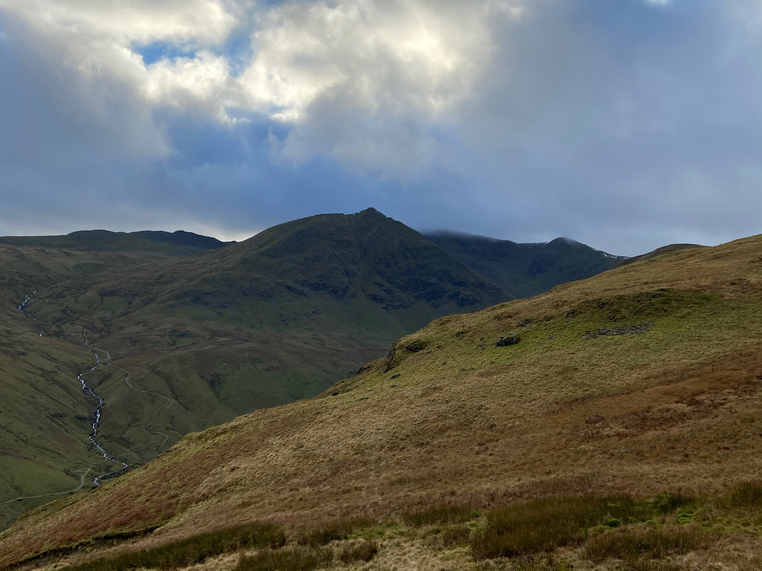
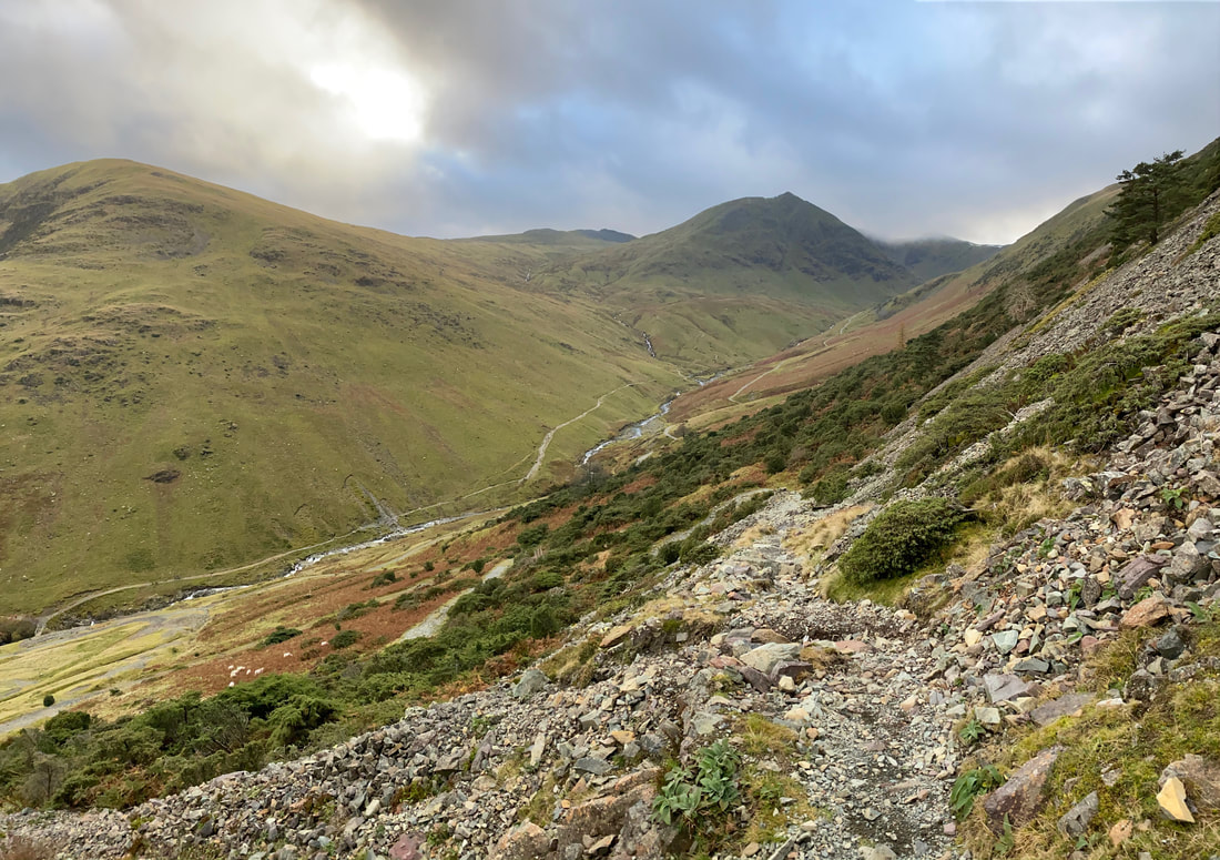
Descending from Raise to The Chimney which can be seen below to the left of Stang
Greenside Mine with Green Side (White Stones) to the left with Sheffield Pike to the right
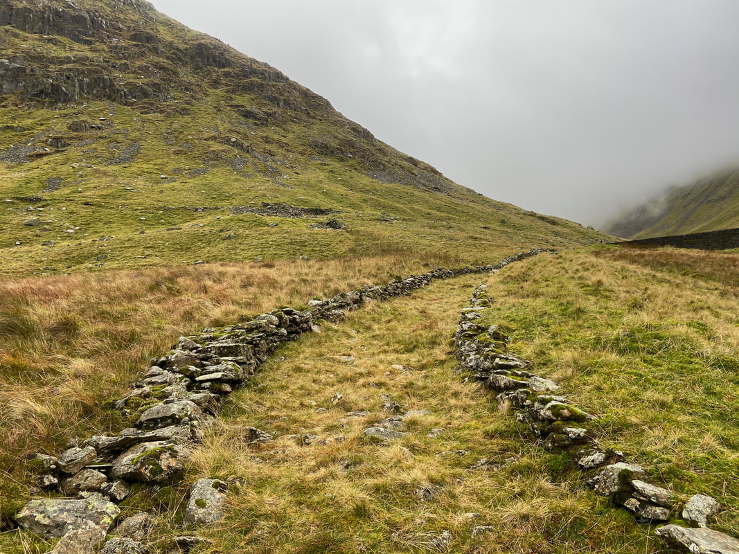
The almost mile long Chimney is marked on the 1:25 OS Map and its course is followed all the way rising to the ruined chimney stack on Stang (seen here). It is actually a Smelter Flue having collapsed when it fell into disrepair when no longer used once the smelt mill closed in 1917. A deep section would have been cut out of the bedrock and the flue would have been built almost circular with bits of large stone and covered with soil & grass. The flue was designed to deposit the noxious fumes from the smelter a long way from the mine located in the valley.

The summit of Stang
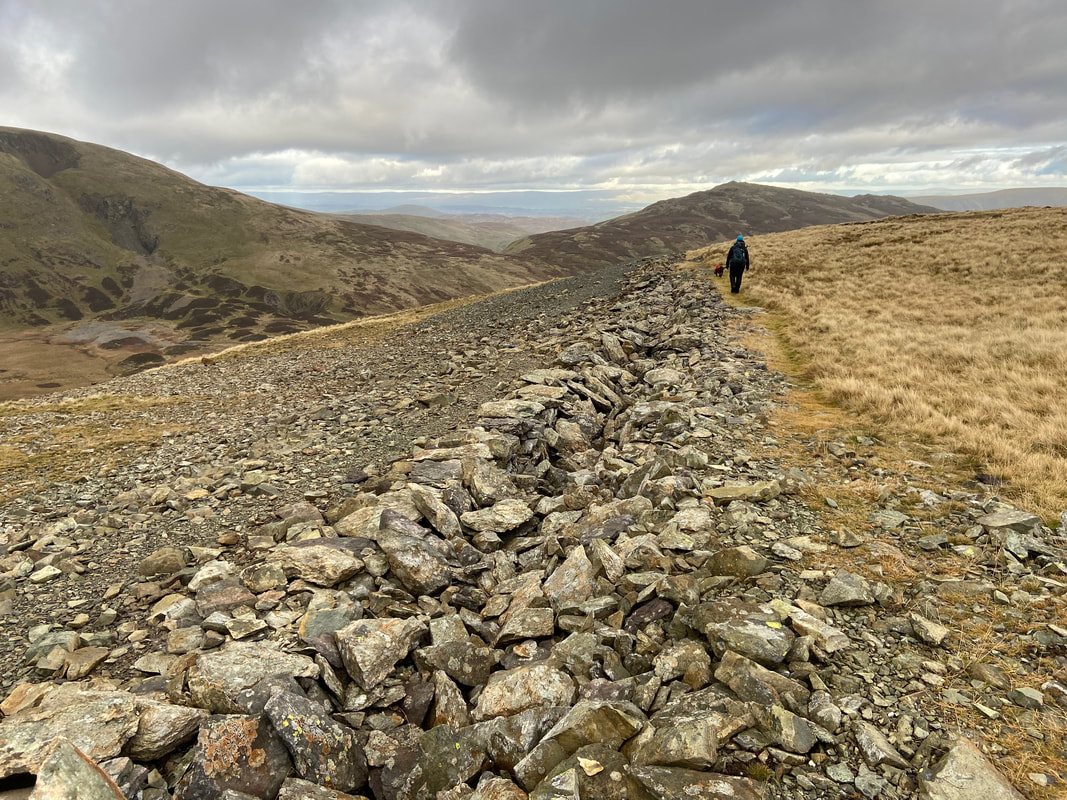
Heading along The Chimney
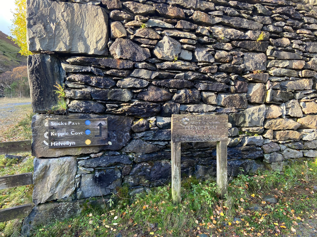
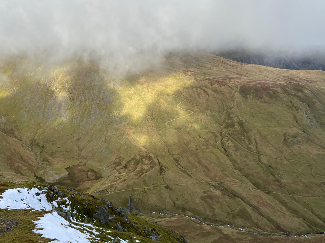
Looking up to the Sticks Pass with the slopes of Raise to the left and Stybarrow Dodd to the right. Years ago, the course of the pass was marked by a line of tall wooden stakes which have all gone now. The stakes (or sticks) would have acted as a handrail to travellers when the path was obscured by deep snow hence its name.
After a level section the Chimney starts to descend gradually with some remnants of the Greenside Mine clearly visible to the left
It is worth the slight detour to visit the rocky promontory of Stang End
A moody looking Catstycam from near the base of The Chimney
Care needs to be taken on the final section of The Chimney as it steepens to meet the path coming over from the Greenside Mine
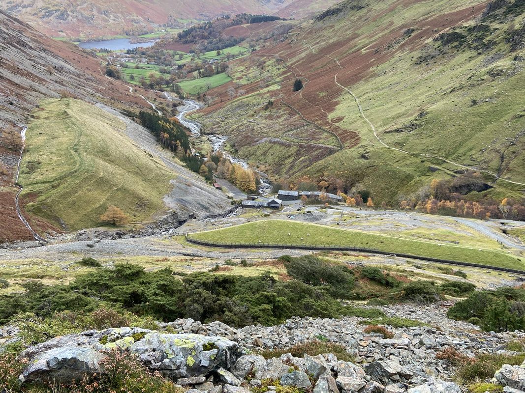
Looking down on the Greenside Mine Buildings from the descent path. Our route back to Glenridding and consequently Patterdale would be on the higher of the two paths on the right hand side of Glenridding Beck.
A view of the two paths to Catstycam either side of Glenridding Beck - as stated earlier we used the path on the left hand side to reach Keppel Cove.
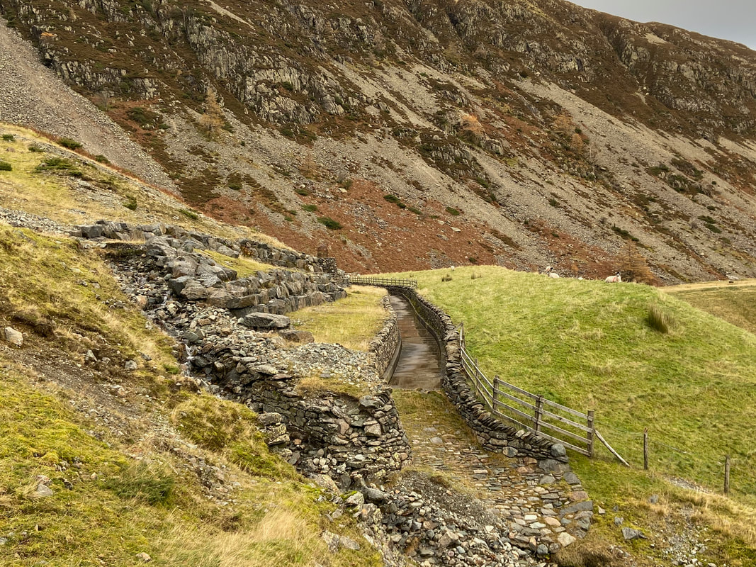
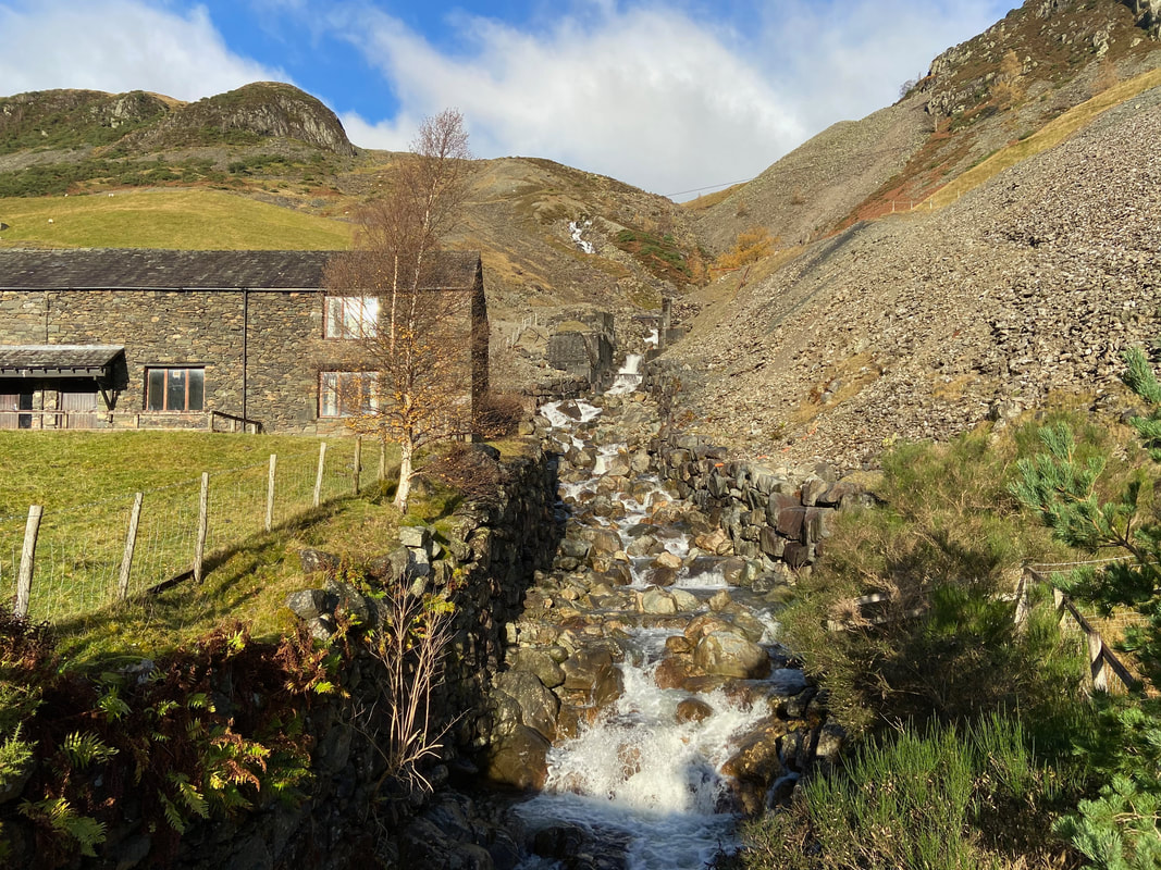
The disused leat at Greenside Mine. This leat appears to have collected water from Glenridding Screes and transferred it to Swart Beck in order to supplement the supply to the mill which was lower down.
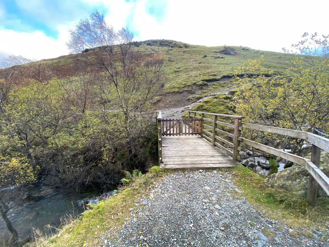
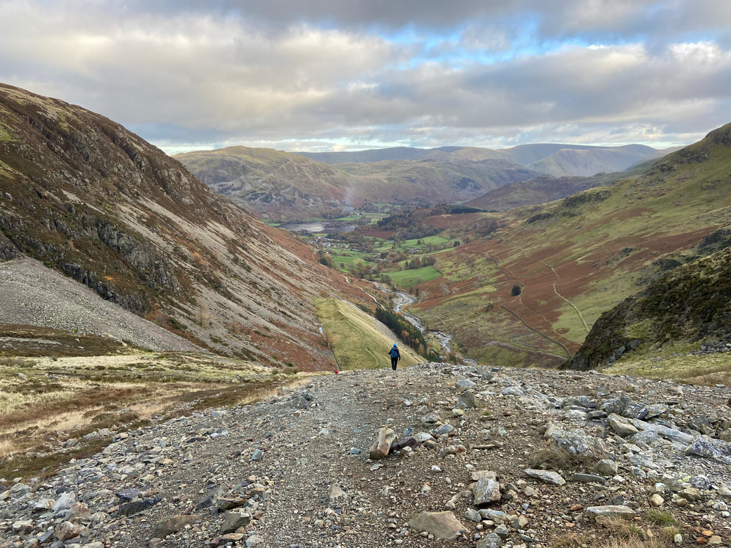
Crossing Glenridding Beck where we turned left for Glenridding - our outward route is to the right.
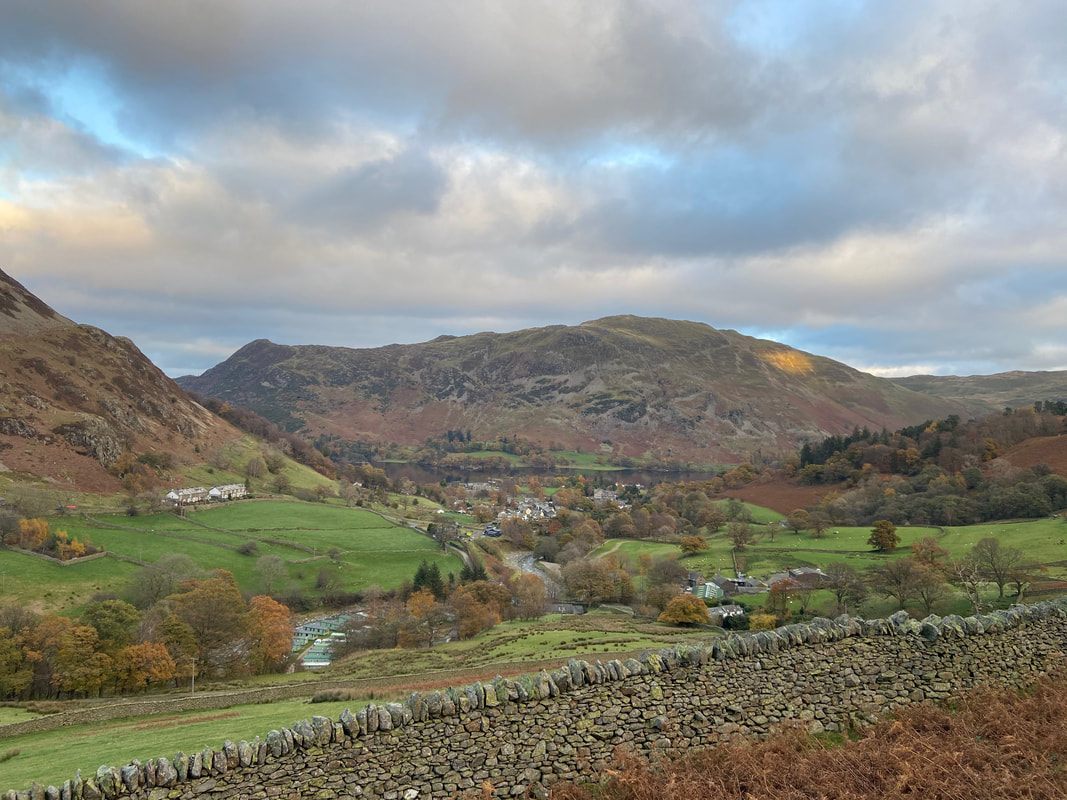
Looking to Glenridding with Ullswater & Place Fell to the rear

Back in Patterdale after another fantastic day on the fells