High Stile Ridge & Dodd - Wednesday 14 September 2016
Route
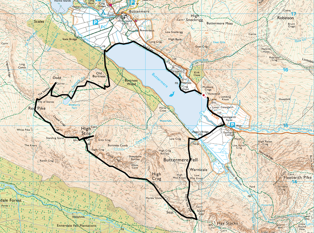
B5289 - Gatesgarth Farm - Peggy's Bridge - Scarth Gap Pass - Scarth Gap - Seat - Gamlin End - High Crag - High Stile - Red Pike - The Saddle - Dodd - Bleaberry Tarn - Burtness Wood - Buttermere North Shore - B5289
Parking
On the roadside of the B5289 below Muddock Crags at Grid Ref NY190155 about 1/2 mile to the west of Gatesgarth Farm. On quieter days there is adequate parking at the Farm (Charge) - Grid Ref NY194150.
Mileage
8.7 miles
Terrain
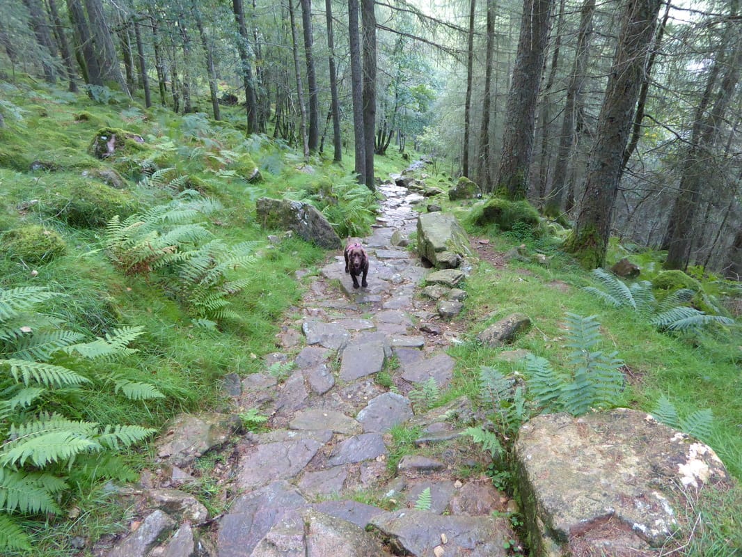
Generally good mountain paths. Exposed ridge walking with some steep ascents and descents. The descent from Red Pike down The Saddle is steep and on loose scree for the majority of the gradient. After rain and because the area does not get much sun, the transit through Burtness Wood is on steep, greasy and slippy rock - care needs to be taken until the lake shore is reached.
Weather
Humid yet sunny with very good visibility. We had a 10 minute rain shower near High Crag.
Time Taken
6hrs
Total Ascent
3405ft (1038m)
Wainwrights
3
Map
OL4 The English Lakes (North Western Area)
|
GPX File
|
| ||
If the above GPX file fails to download or presents itself as an XML file once downloaded then please feel free to contact me and I will send you the GPX file via e-mail.
Walk Description
There is no doubt that the High Stile Ridge is a fabulous walk. It is best saved for a day when the sun is shining and therefore the visibility is as good as it can be. The walk can be started from either end of the eastern shore of Buttermere - at the village itself or at Gatesgarth Farm to the east. We were a bit late getting out to Buttermere today and therefore could only park along the road - about half a mile north west of Gatesgarth Farm. The conditions today were almost perfect; therefore we headed along the road towards Gatesgarth full of anticipation for what is, in our opinion one of the finest ridge walks in Lakeland.
Gatesgarth was buzzing - there were cars & people everywhere. Most people appeared to be heading for a walk around the lakeshore as hardly anybody was heading up on to the path to Scarth Gap. Crossing Peggy's Bridge, the path climbs steeply to switch back on itself to head on an undulating but good path that gives superb views to Fleetwith Pike, Haystacks, Robinson and back to Buttermere. After passing High Wax Knott there is an option to follow a wall to the col up on Gamlin End, thus avoiding having to walk to Scarth Gap and on to Seat. This is purely personal preference and today we chose to carry on south up the steep & stony ascent to Scarth Gap which is a crossroads of sorts - straight on to Black Sail, left to Haystacks or right to climb Seat.
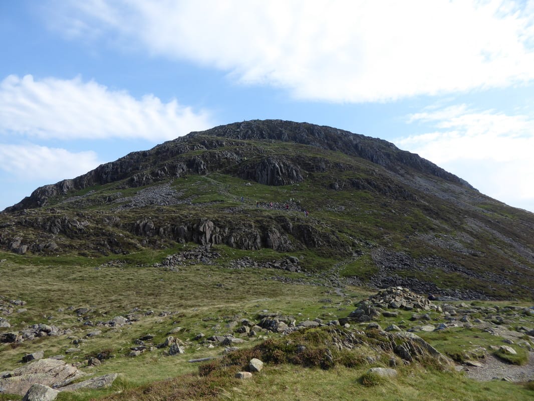
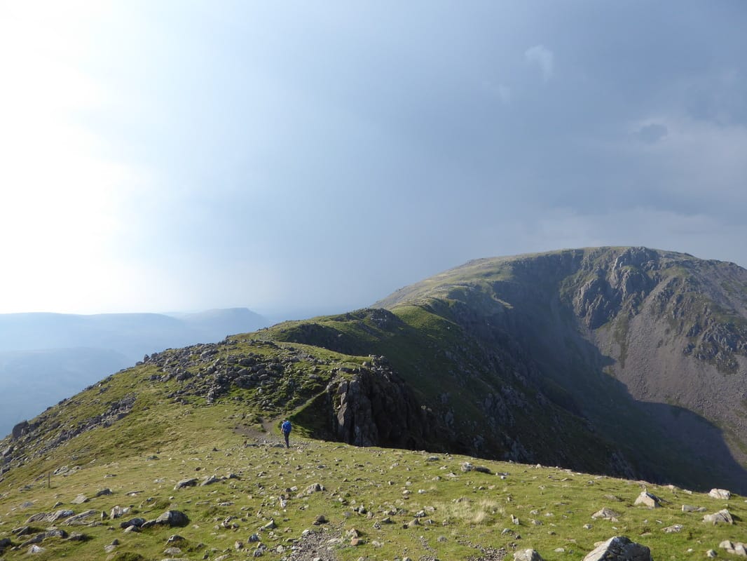
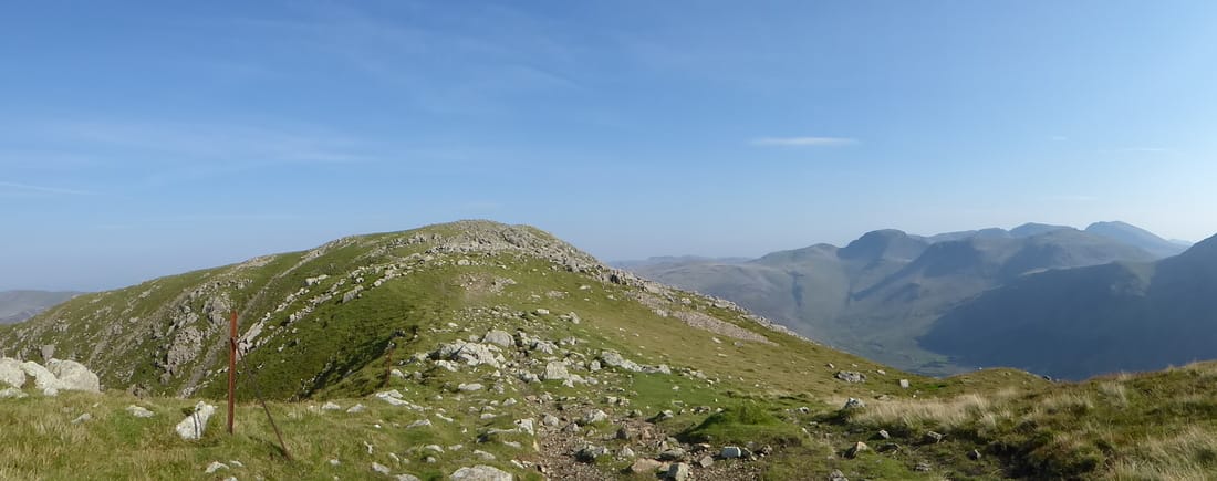
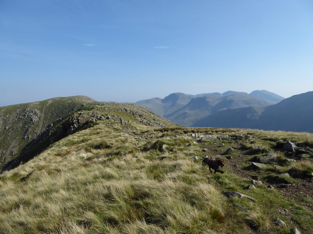
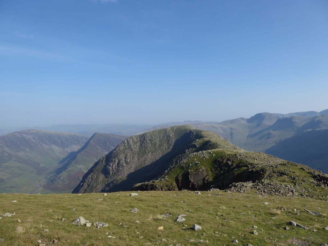
After a spot of lunch we made the ascent of Seat and dropped down to the col at Gamlin End. Halfway up the zig zagging scree path to High Crag it chucked it down - a 10 minute downpour that came in from the direction of The Scafells, passing over us to head off towards Grasmoor. The path to High Crag is very steep and unrelenting but eventually the flat, grassy summit was reached revealing a superb viewpoint, particularly to Pillar and High Stile. In good visibility the way to the next summit of High Stile is clear enough along a broad ridge with a precipitous drop to the right. All the time the views are quite exceptional and it is here the full view of the ridge can be seen as it spreads out invitingly before you with Kirk Fell and Pillar across to the left. The path then rises on a gently sloping gradient to reach the summit of High Stile - there are a myriad of cairns and promontories up on the top but the second cairn is the highest point although the more westerly cairn is recognised by most as the summit. We visited them all!
Leaving the summit there is now an easy walk along a flattish grassy section that rises gently through a stony pass to reach the aptly named summit of Red Pike, complete with a cairn & wind shelter. Again, the views were superb and we were able to look down the full length of Crummock Water and below to Lingcomb Edge. A small cairn marks the path down the steep and tricky descent of The Saddle towards Bleaberry Tarn. Much of this path is on loose scree until the col below is reached therefore care needed to be taken. At the col, a gentle grass slope leads to the summit of Dodd and this was a surprisingly lovely summit - superb views over to Buttermere and down Crummock therefore we spent a fair amount of time exploring the fell and viewing its panorama.
Making our way back to the col, we dropped down to the quiet & peaceful shores of Bleaberry Tarn to follow Sourmilk Gill, soon turning right on a zig zagging path to reach the edge of Burtness Wood. There now began a section of precarious walking on a slippy, steep and stony path - it just seemed to go on and on and we made slow progress until eventually reaching the lakeshore. At the shore there are 2 options - either turn right and follow the shore line, firstly through the woods to emerge on the open fell side leading back to Peggy's Bridge or turning left to follow the north western end of the lake reach the opposite shore line - we chose the latter as our parking spot was on that side of the lake. In the early evening sun, the walk along the shoreline was a delight and we took our time, reaching our car just as dusk arrived. Another great day out - and from High Crag onwards, completed in solitude.
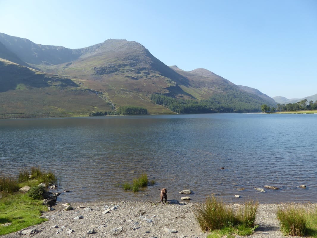
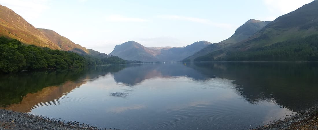
A glorious day on the shores of Buttermere looking to High Stile
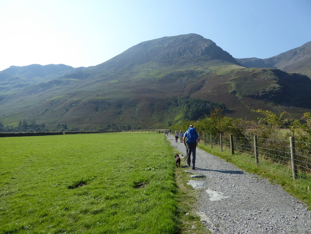
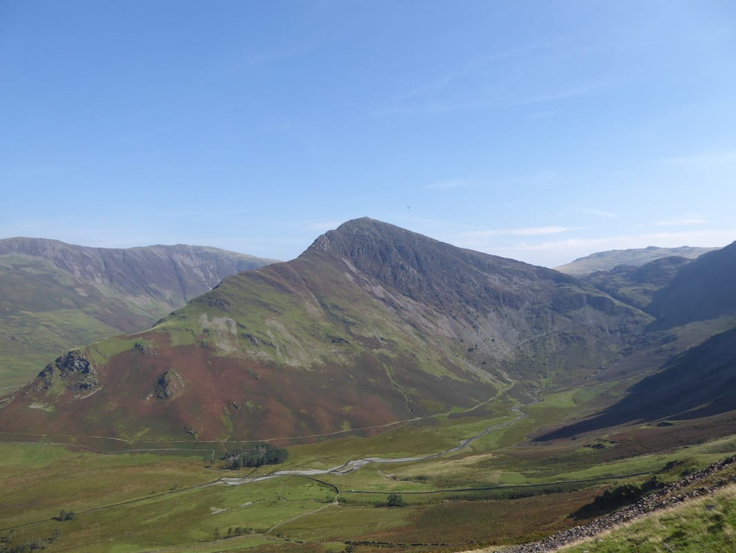
Heading along the track from Gatesgarth Farm to Peggy's Bridge - High Crag is up ahead
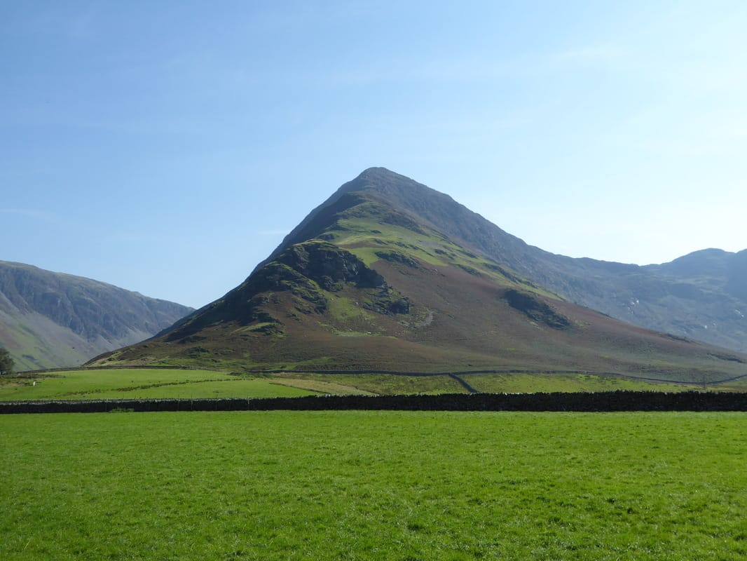
Fleetwith Pike
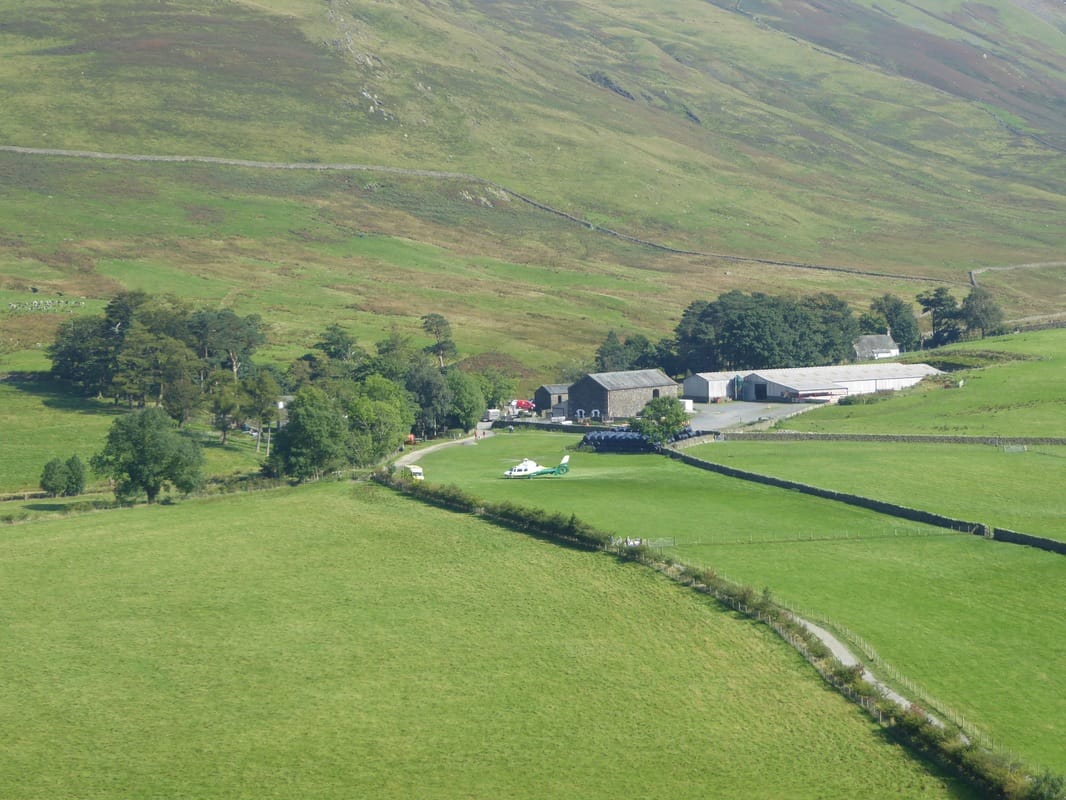
The Aeromed Ambulance parked up at Gatesgarth Farm.
When we were driving down the Honister Pass, a cyclist had fallen off his bike and we think the helo was for him.
When we were driving down the Honister Pass, a cyclist had fallen off his bike and we think the helo was for him.
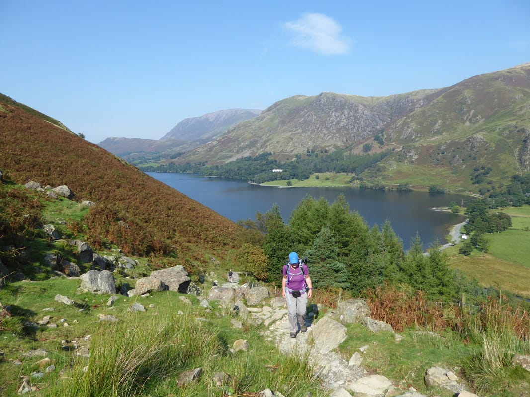
Above Buttermere heading up to the Scarth Gap Pass
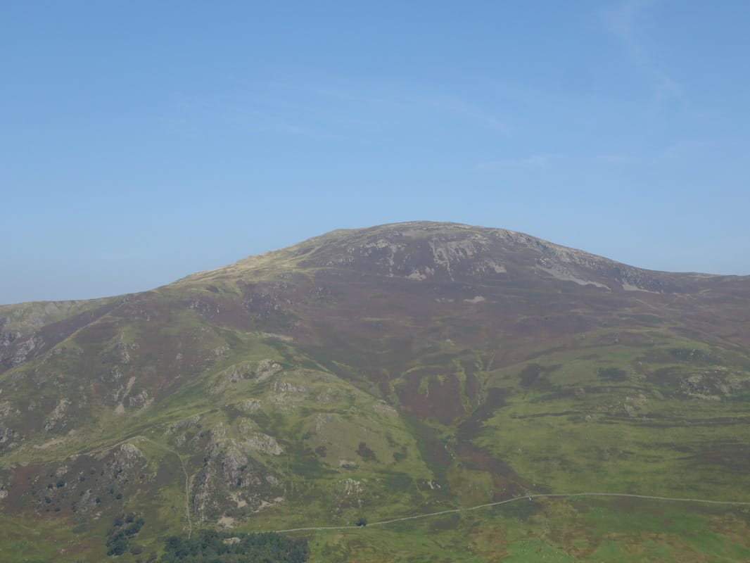
Robinson
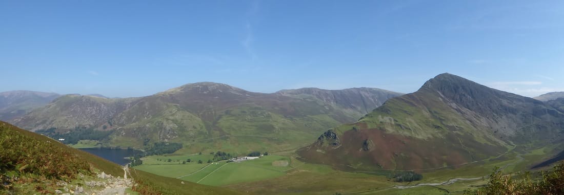
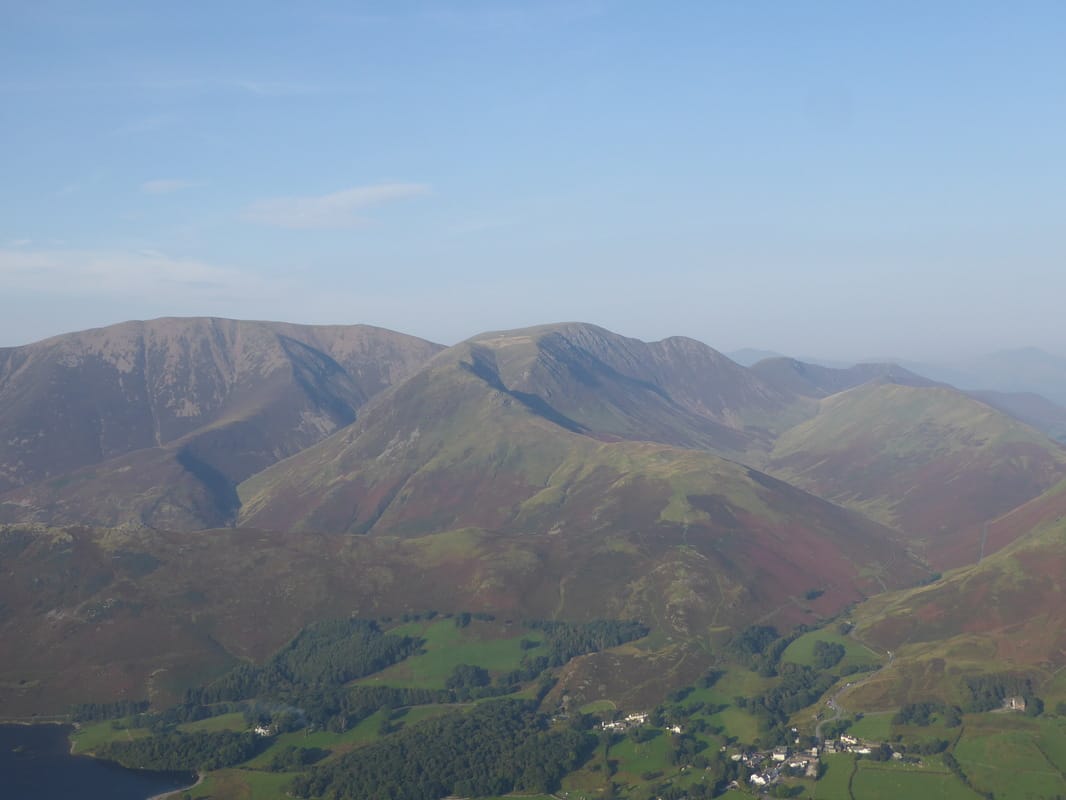
A Buttermere panorama of High Snockrigg, Robinson, Dale Head & Fleetwith Pike
Another great view of Fleetwith Pike above Warnscale Bottom
Continuing along the Scarth Gap Pass with Haystacks ahead
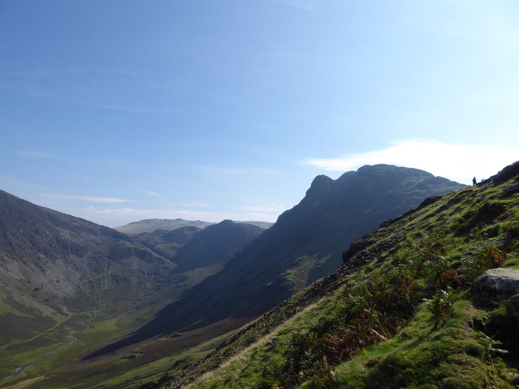
Looking back to the route up to Gamlin End & High Crag from near High Wax Knott. To avoid walking up to Scarth Gap, the ruined wall can be followed steeply up to the col on Gamlin End to meet the path coming in from Seat.
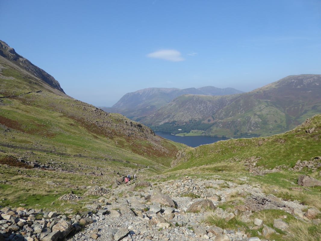
Looking back down our stony ascent up the Scarth Gap Pass
The route to Haystacks from Scarth Gap - not today
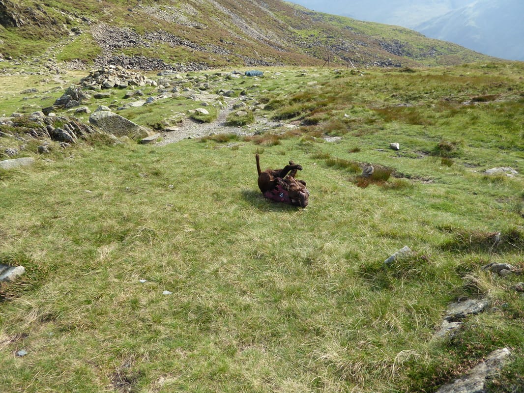
Fudge having a bit of a prat about before we head up to Seat
Looking to Haystacks from half way up the ascent of Seat
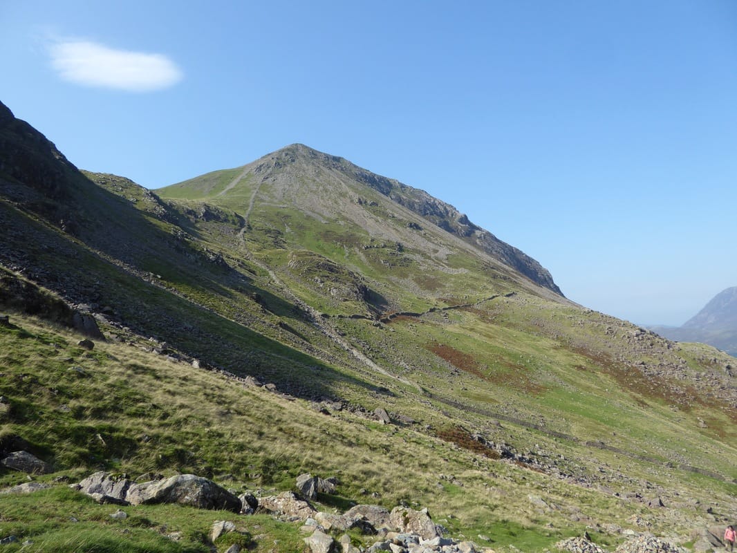
Gamlin End & High Crag from Seat. It is difficult to see a path once you reach half way up but believe me there is one
Looking down Gamlin End to Seat & Haystacks - little did we know it but in about 5 minutes we were about to get wet
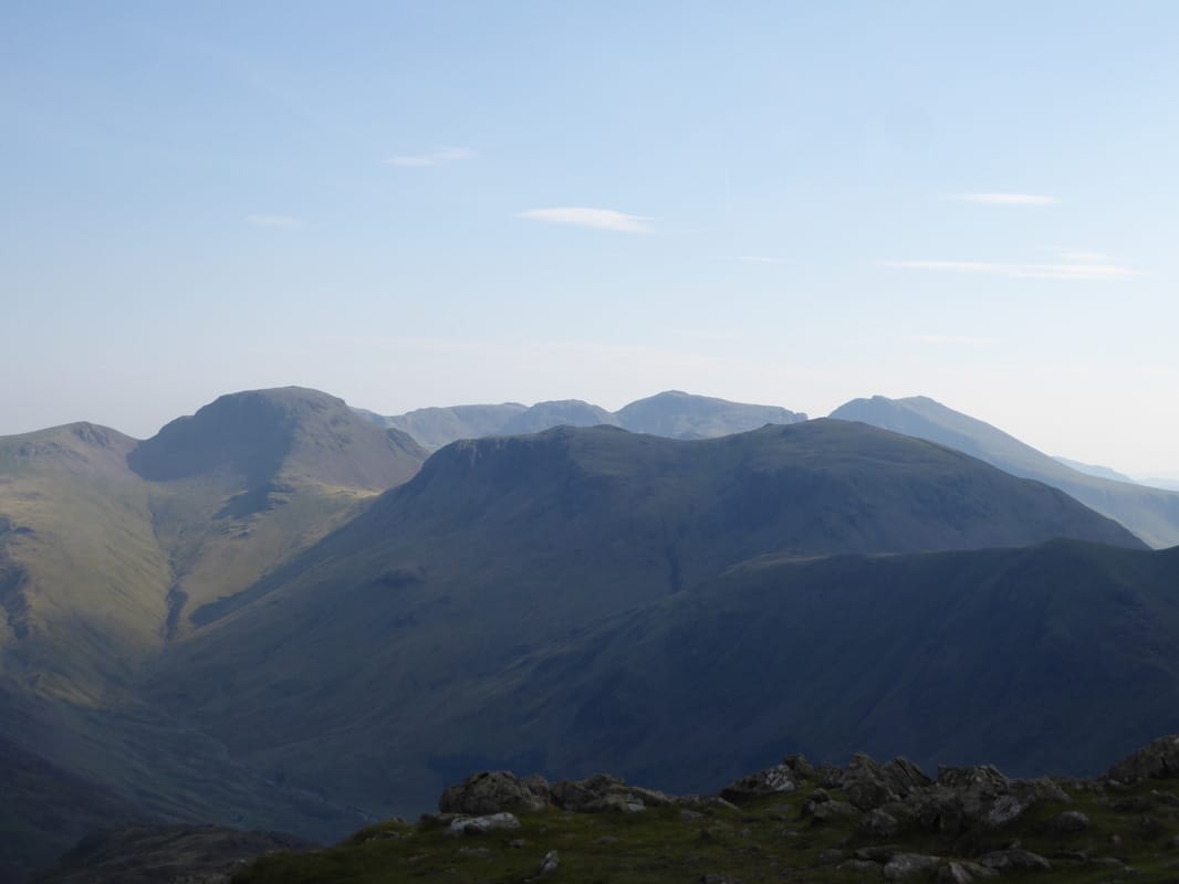
Great Gable & Kirk Fell with The Scafells to the rear
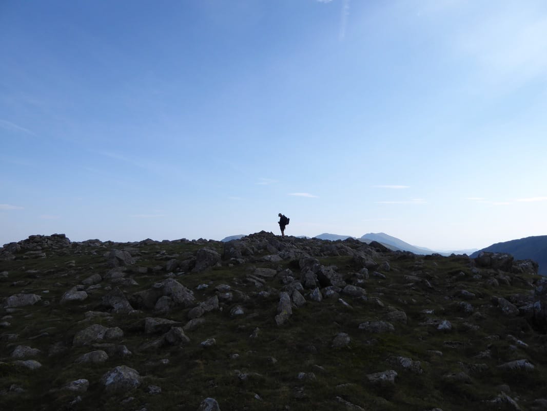
The summit of High Crag
Leaving High Crag for High Stile
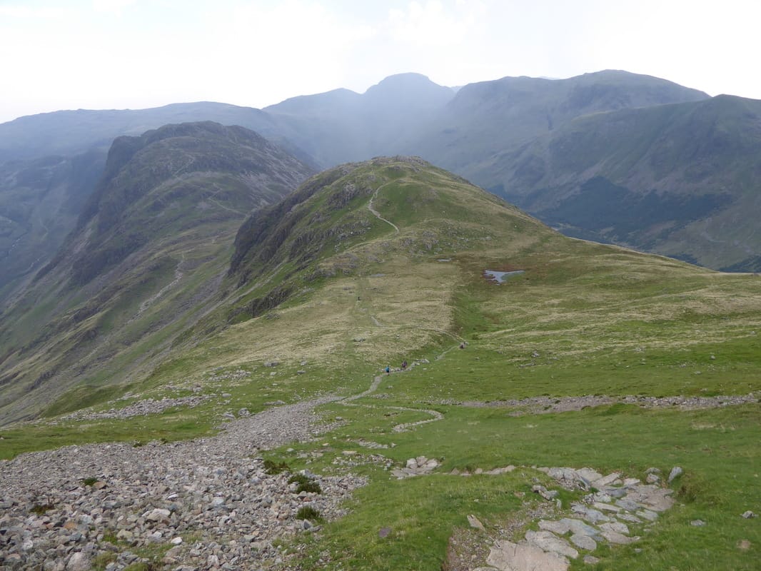
This transit to High Stile and on to Red Pike is an absolutely delightful ridge walk
Looking back to High Crag
Fudge in 'bimble mode' as we head to High Stile
From the ascent of High Stile looking back to Dale Head, Fleetwith Pike, High Crag, Green Gable, Great Gable & Kirk Fell
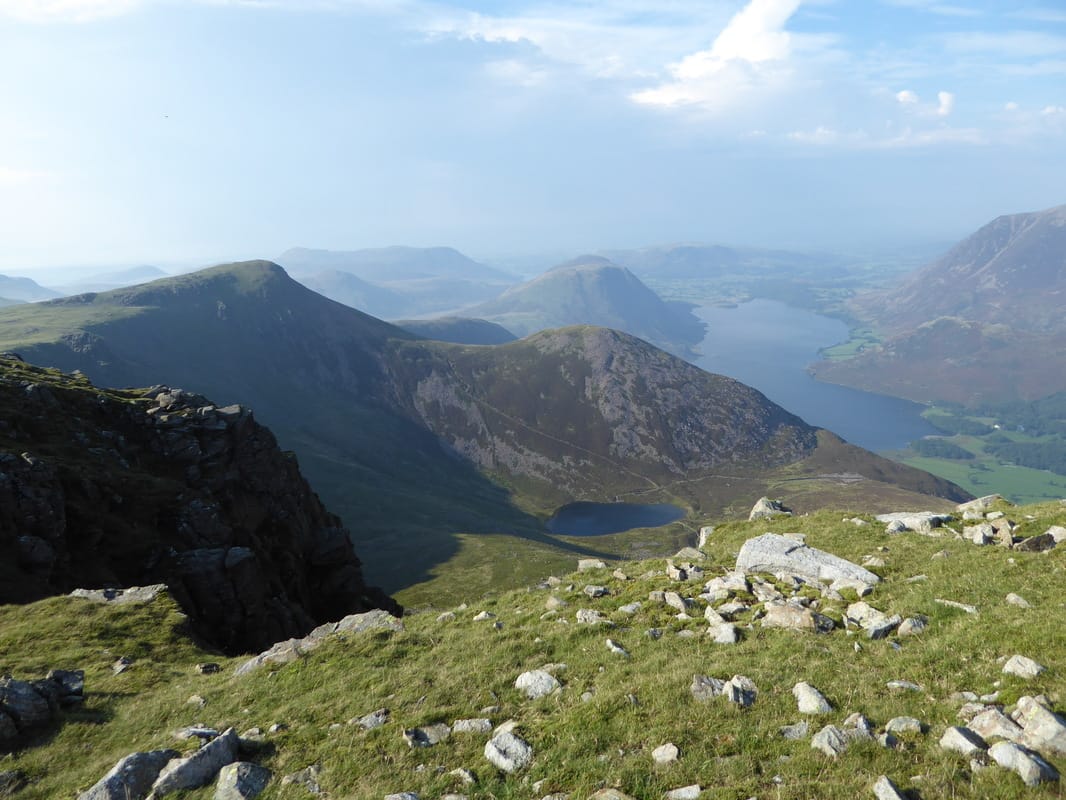
Red Pike, Dodd & Mellbreak. Bleaberry Tarn sits below Dodd - the large body of water is Crummock
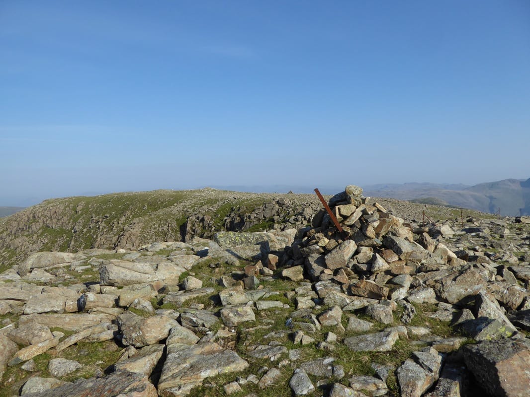
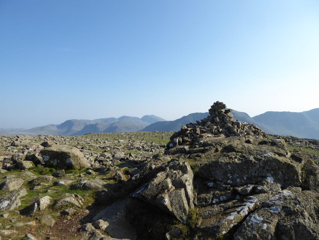
One of the 2 summits on High Stile....
... here is the other
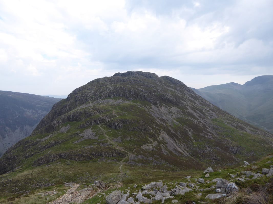
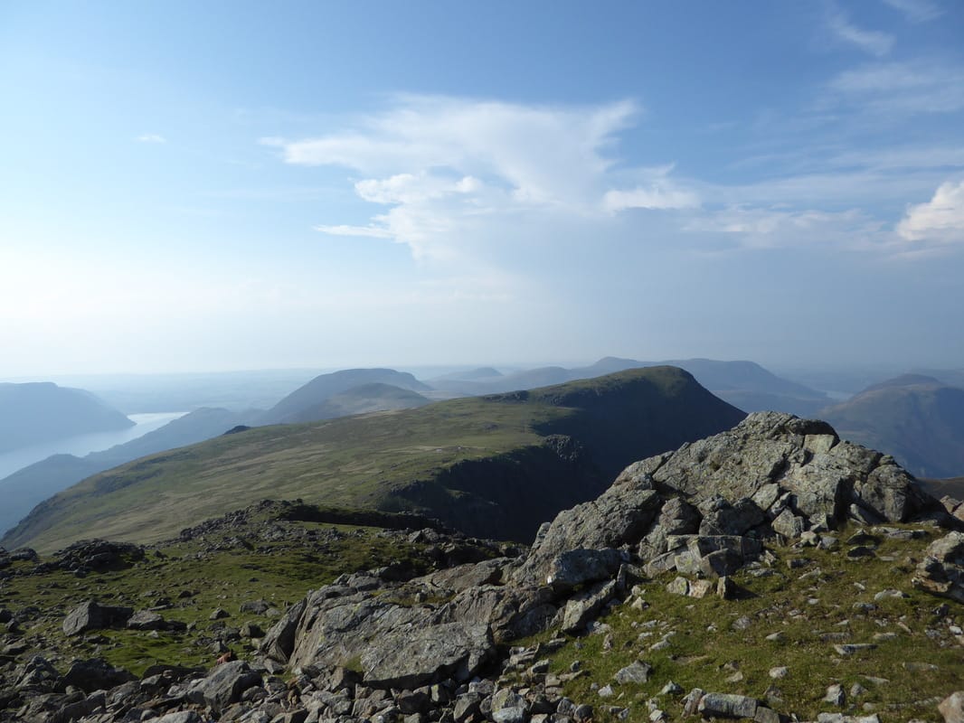
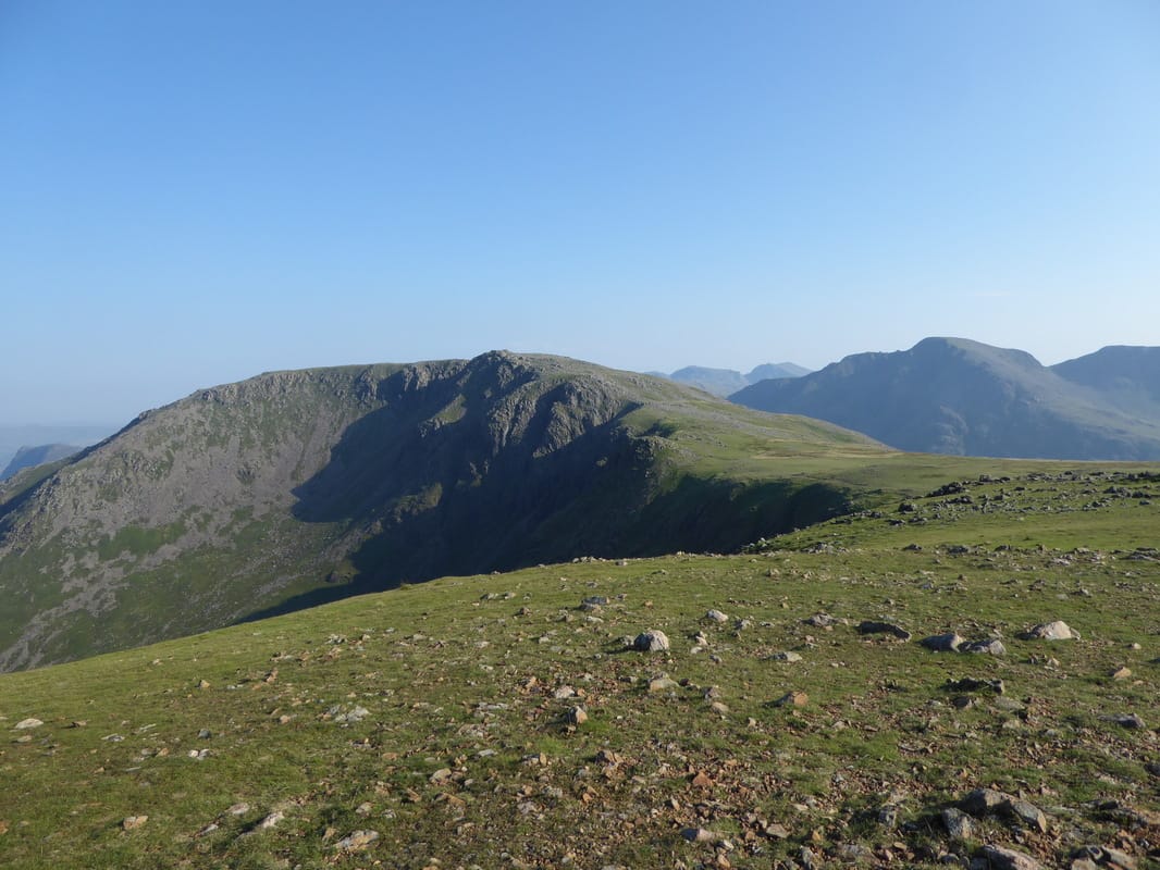
The route over to Red Pike from High Stile. Ennerdale Water is to the left with Starling Dodd & Great Borne to the left of centre
Mellbreak & Dodd to the left with the huge bulk of Grasmoor to the rear
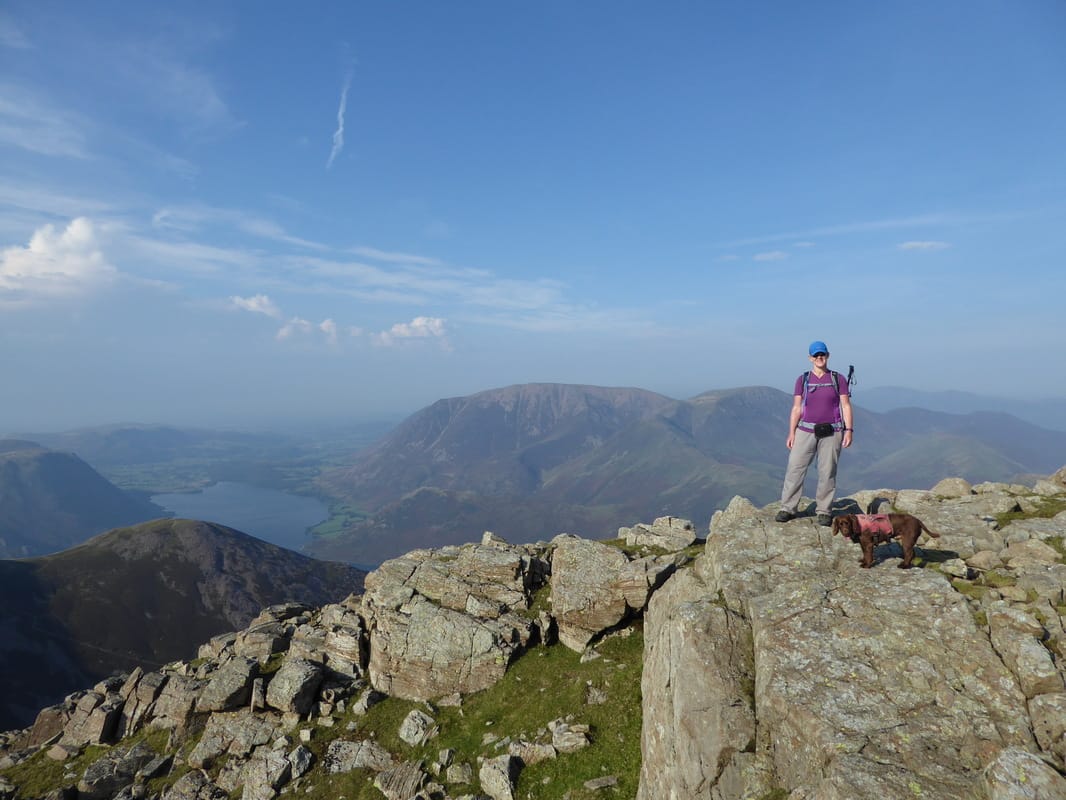
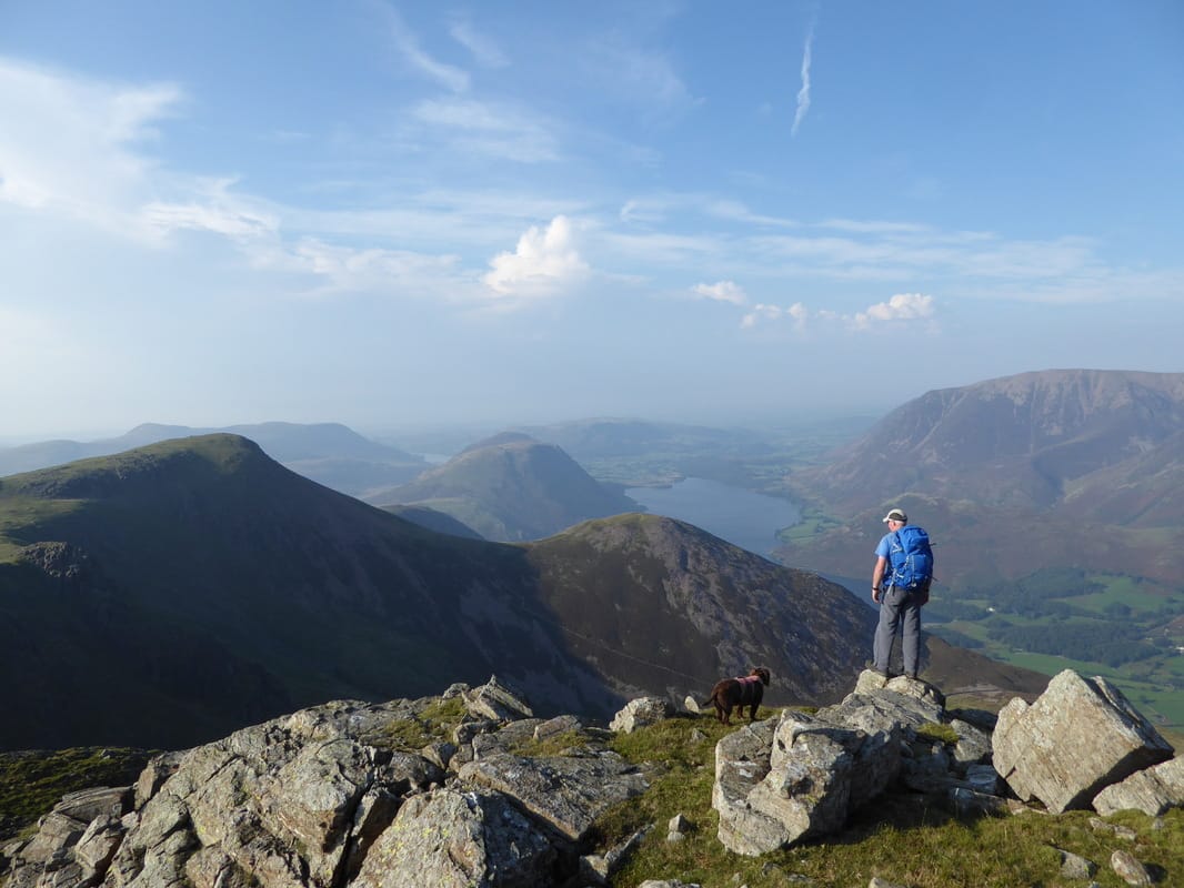
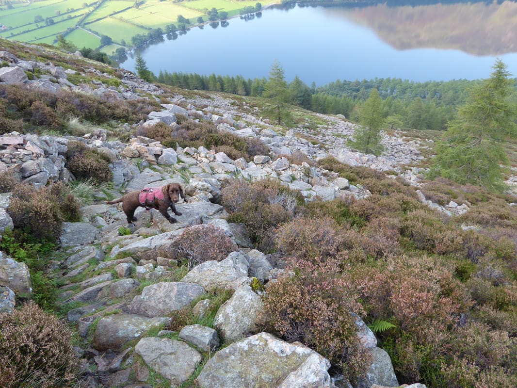
Nobody else up here now - it was about 1630 and it looked like everyone had gone home. Fudge has spotted Bleaberry Tarn below.
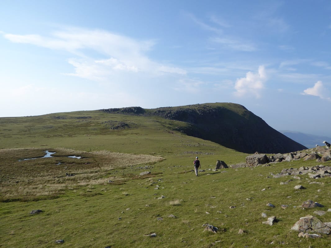
Heading to Red Pike
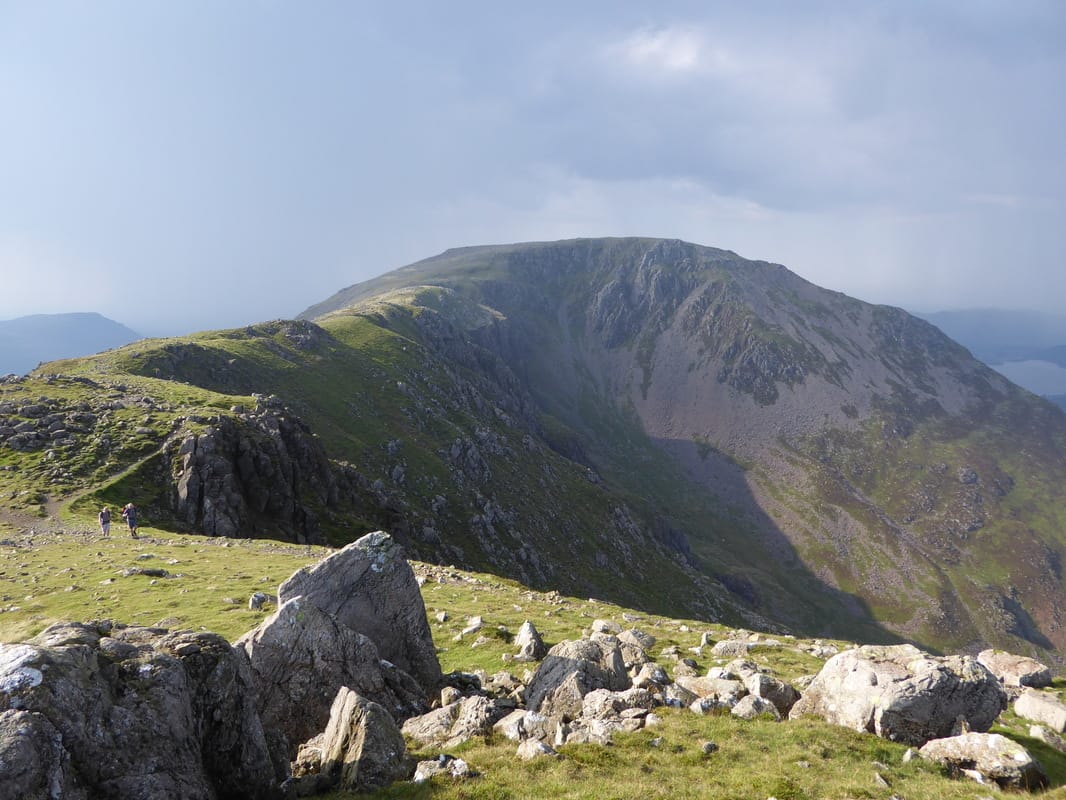
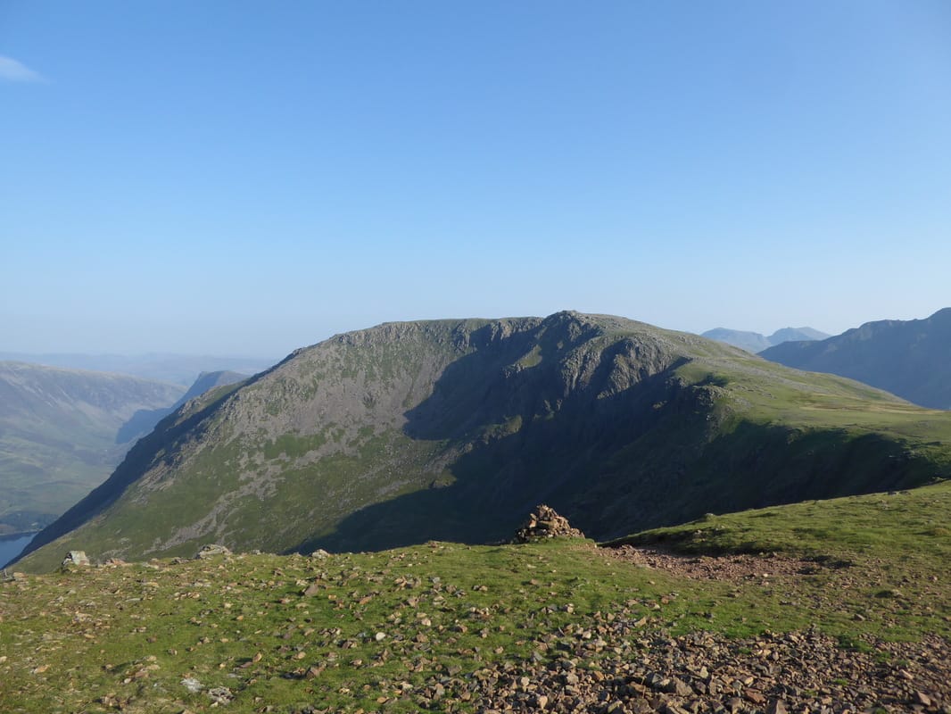
Looking back to High Stile
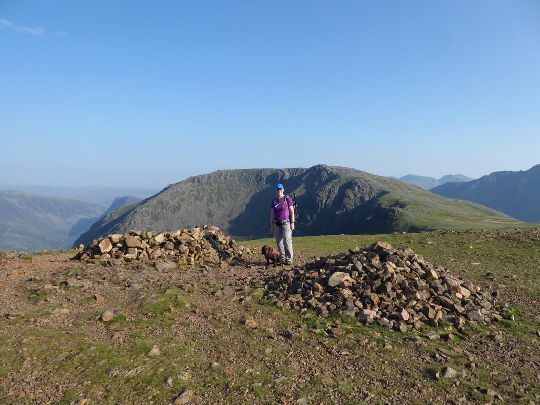
The summit of Red Pike
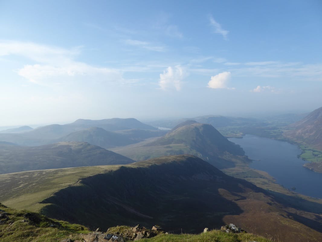
View from Red Pike down to Lingcomb Edge, Mellbreak & Crummock Water - a small bit of Loweswater can also be seen
A small cairn close to the summit marks the route down to Bleaberry Tarn from Red Pike
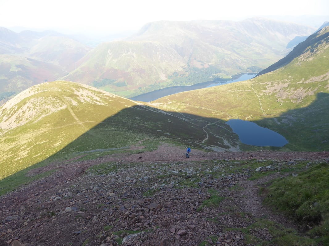
Descending The Saddle leading from Red Pike to Dodd - much of it was on a steep scree path which required care to be taken.
Bleaberry Tarn sits in the early evening shadows below.
Bleaberry Tarn sits in the early evening shadows below.
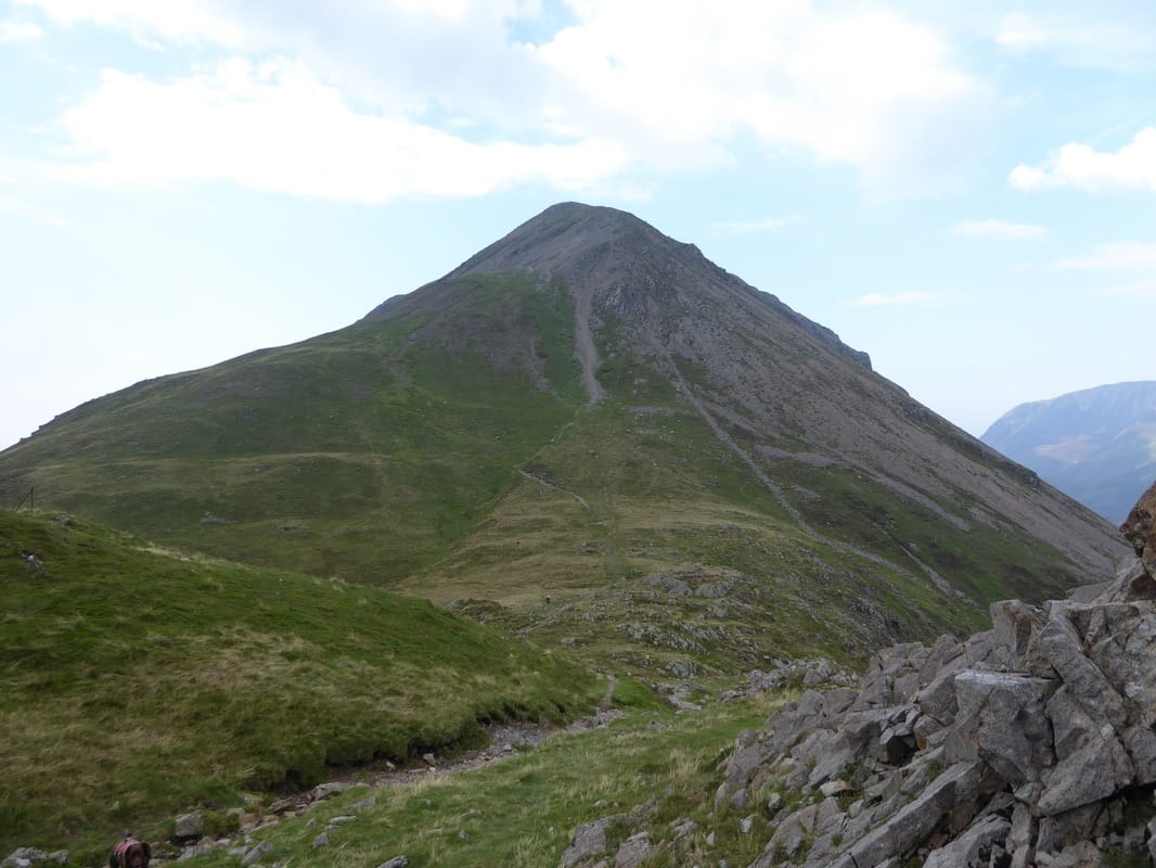
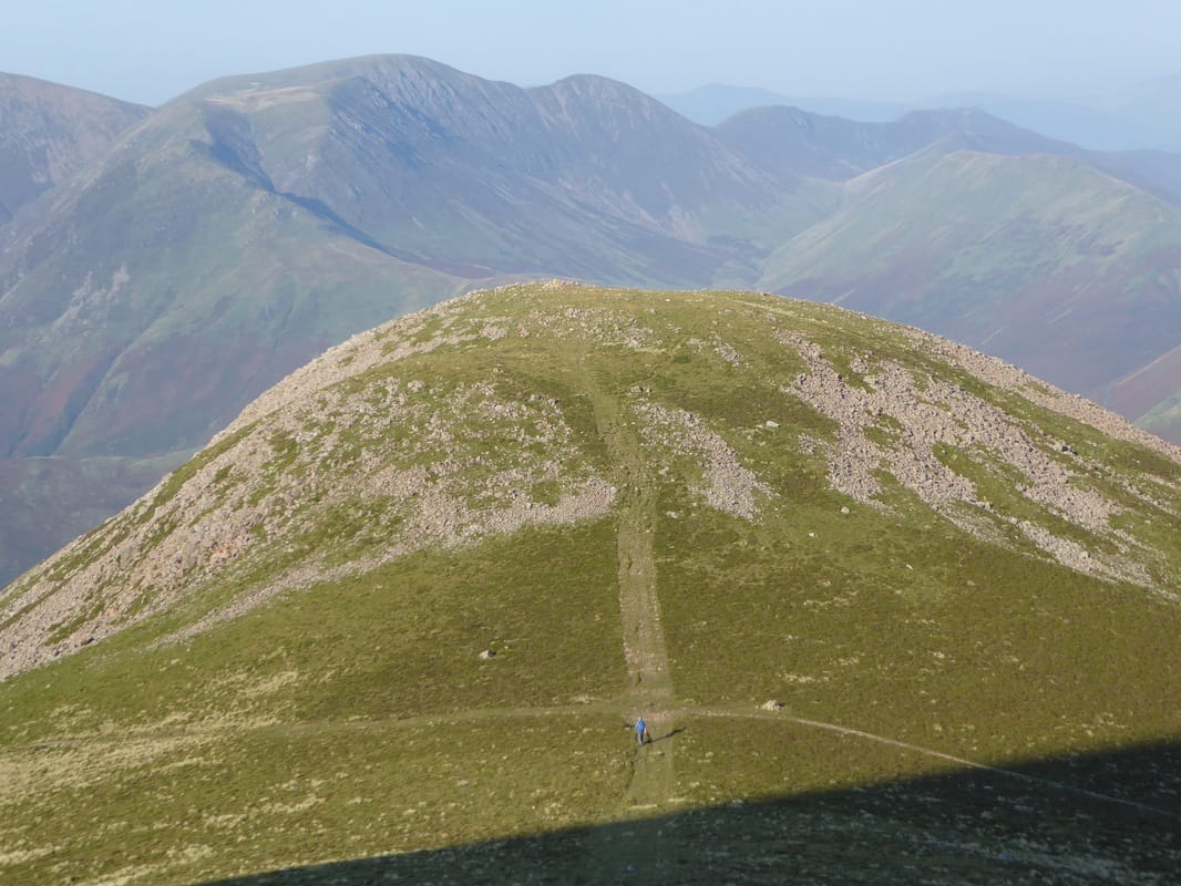
Dodd ahead
The summit of Dodd from The Saddle
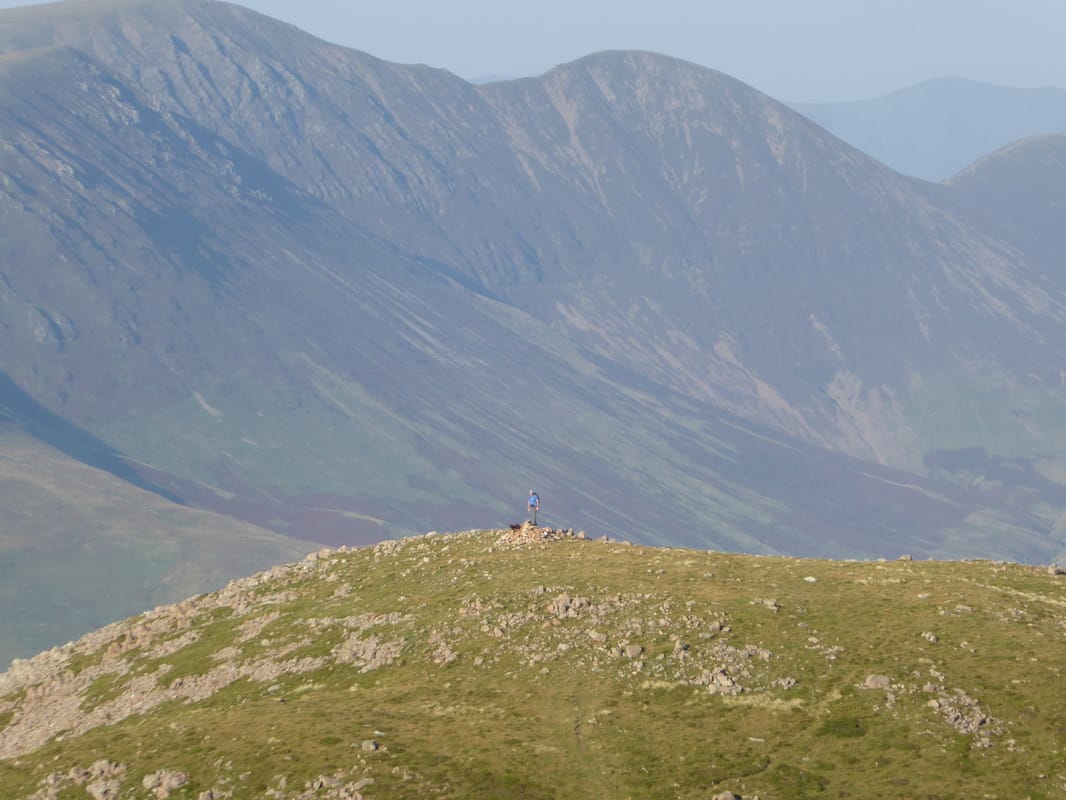
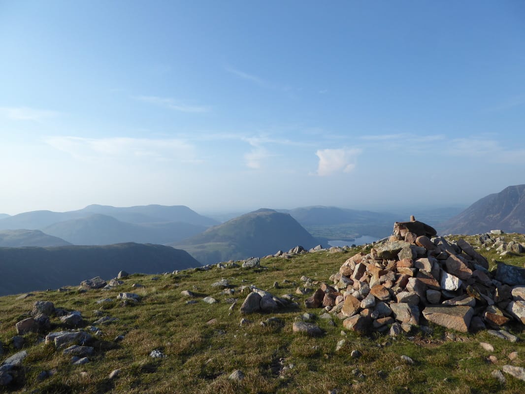
Dodd summit
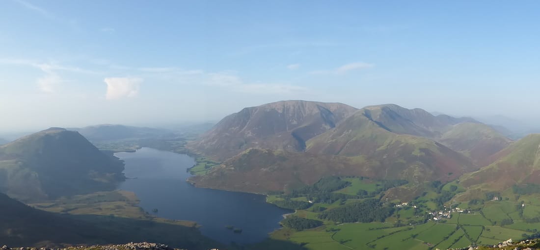
Mellbreak, Crummock Water and Grasmoor amongst others
Zooming in on Grasmoor, Lad Hows & Whiteless Pike
Descending from Bleaberry Tarn on the lumpy and zig zagging path to Burtness Wood
Heading through Burtness Wood - this path to the lakeshore was very slippery.
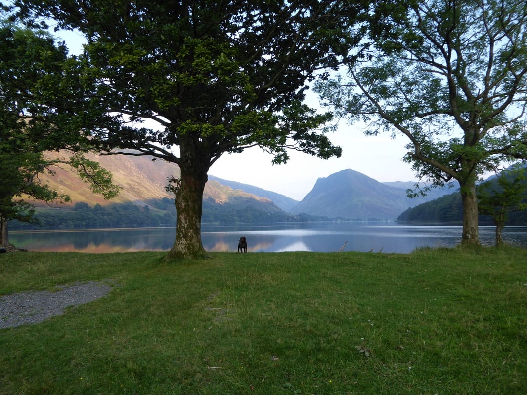
The north western shore of Buttermere looking to Fleetwith Pike
A Buttermere panorama
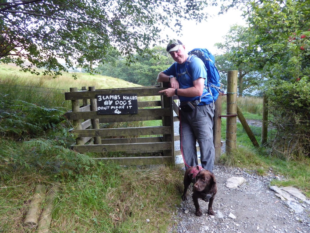
This sign has been here a long time but the message is still very relevant
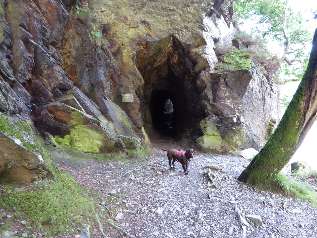
The Bear Cave on Buttermere's North Shore - Fudge does not look too keen
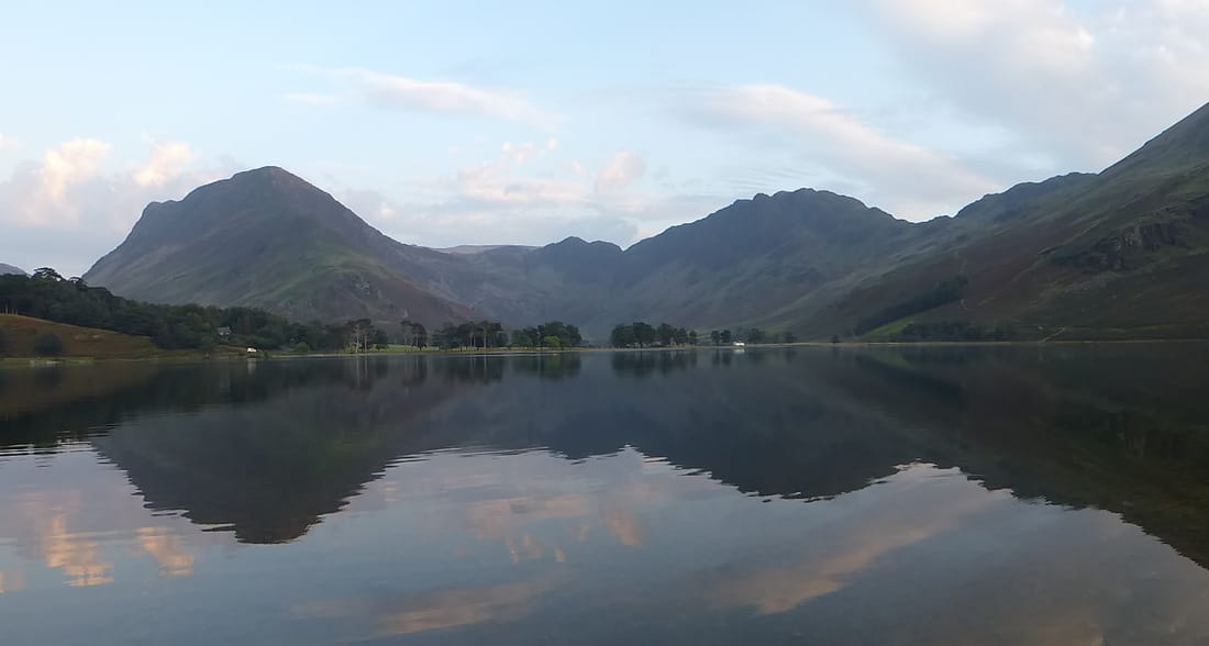
Buttermere, Fleetwith Pike & Haystacks at dusk
