Patterdale to Burnbanks - Wednesday 3 July 2019
Route
Patterdale - Rooking - Boredale Hause - Angle Tarn - Satura Crag - The Knott - Rampsgill Head - Kidsty Pike - High Raise - Low Raise - Long Grain - Measand End - Measand Beck - Haweswater - Burnbanks
Parking
Plenty of parking in Patterdale Village (Postcode is CA11 0NW)
Mileage
10.1 miles
Terrain
Good mountain and shoreline paths. The path on the descent from Low Raise to Measand Beck is not well used but is easy enough to follow although is not as prominent on the ground as the remainder of the walk.
Weather
Gloriously sunny with excellent visibility
Time Taken
4hrs 35mins
Total Ascent
2785ft (849m)
Wainwrights
4
Map
OL5 - The English Lakes - North Eastern Area
Walkers
Dave
|
GPX File
|
| ||
If the above GPX file fails to download or presents itself as an XML file once downloaded then please feel free to contact me and I will send you the GPX file via e-mail.
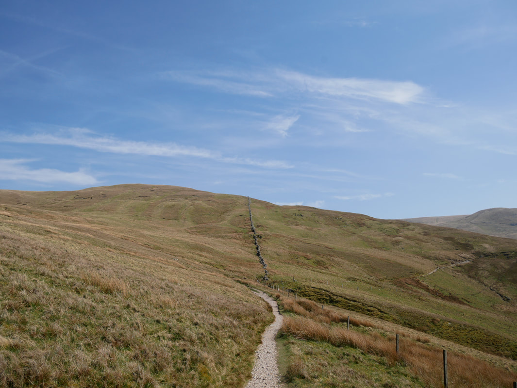
Route Map
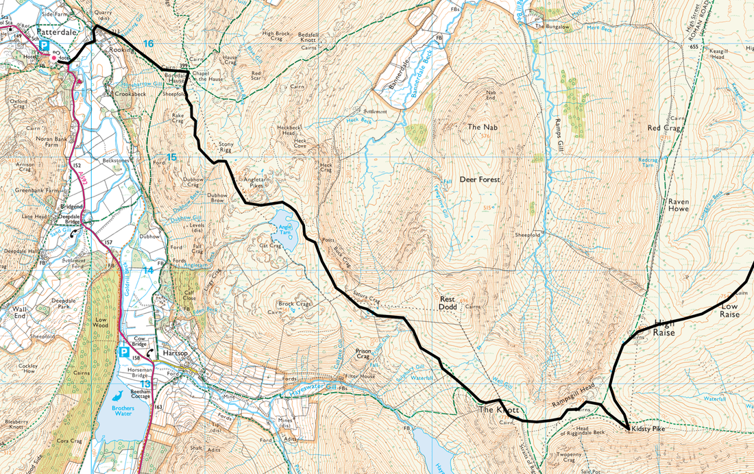
Patterdale to Low Raise
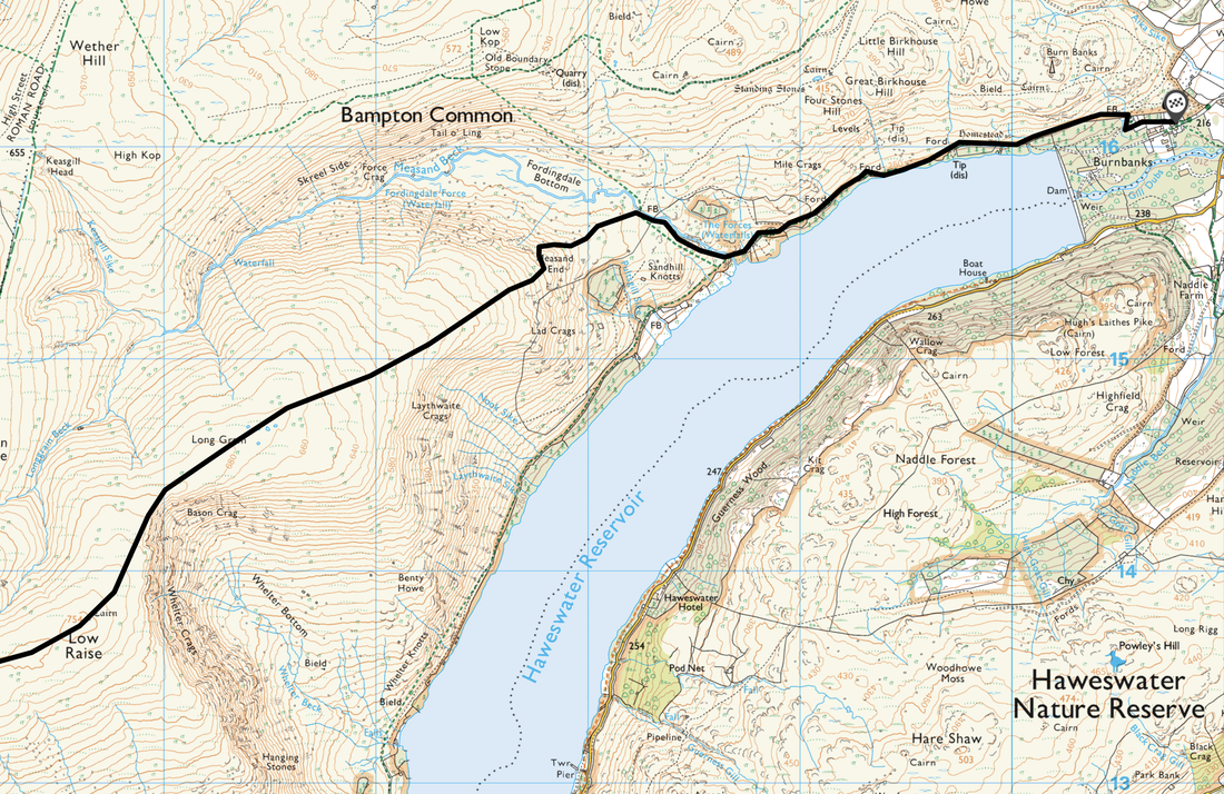
Low Raise to Burnbanks
In the Summer I guide on the Coast to Coast walk. Therefore I did this walk to recce an alternative route down from Kidsty Pike to Haweswater. The original Coast to Coast route descent to Haweswater via Kidsty Howes is quite steep - this route offers an alternative and gentler descent to the lakeshore and knocks a mile off an already long leg to either Bampton or Shap. For purists who wish to stick to the original route then that is fine - however if you wish to reduce your mileage and descent then this route may be of use to you.
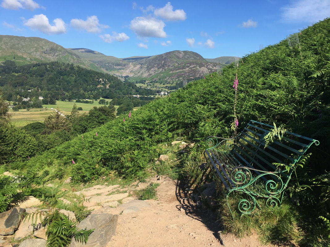
The path leaving Patterdale looking back towards Glenridding Dodd & Sheffield Pike
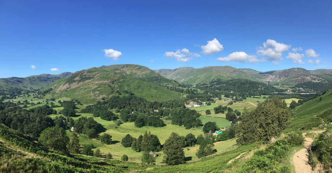
A wider panoramic view from the path to Boredale Hause
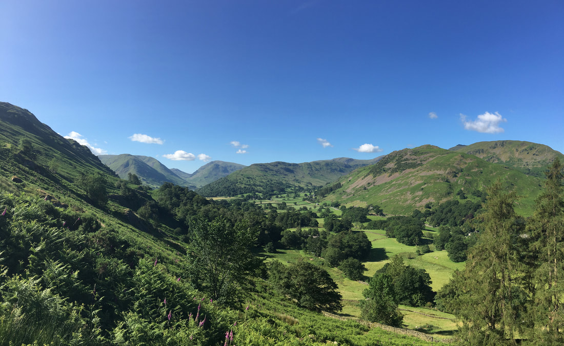
The ascent of Boredale Hause is one I have done many, many times but this jaw dropping view never ceases to make me catch my breath - particularly on such a lovely day as this was. Left to right are Hartsop Dodd, Caudale Moor, Red Screes, Middle Dodd, Hartsop Above How, Dove Crag, Hart Crag & St Sunday Crag
Moving a little further around to the right - Fairfield, Arnison Crag, Birks, St Sunday Crag & Helvellyn
Boredale Hause
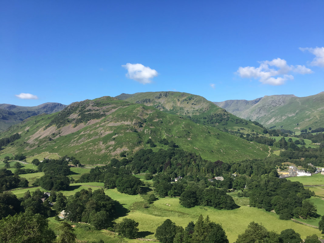
Place Fell from the path to Angle Tarn
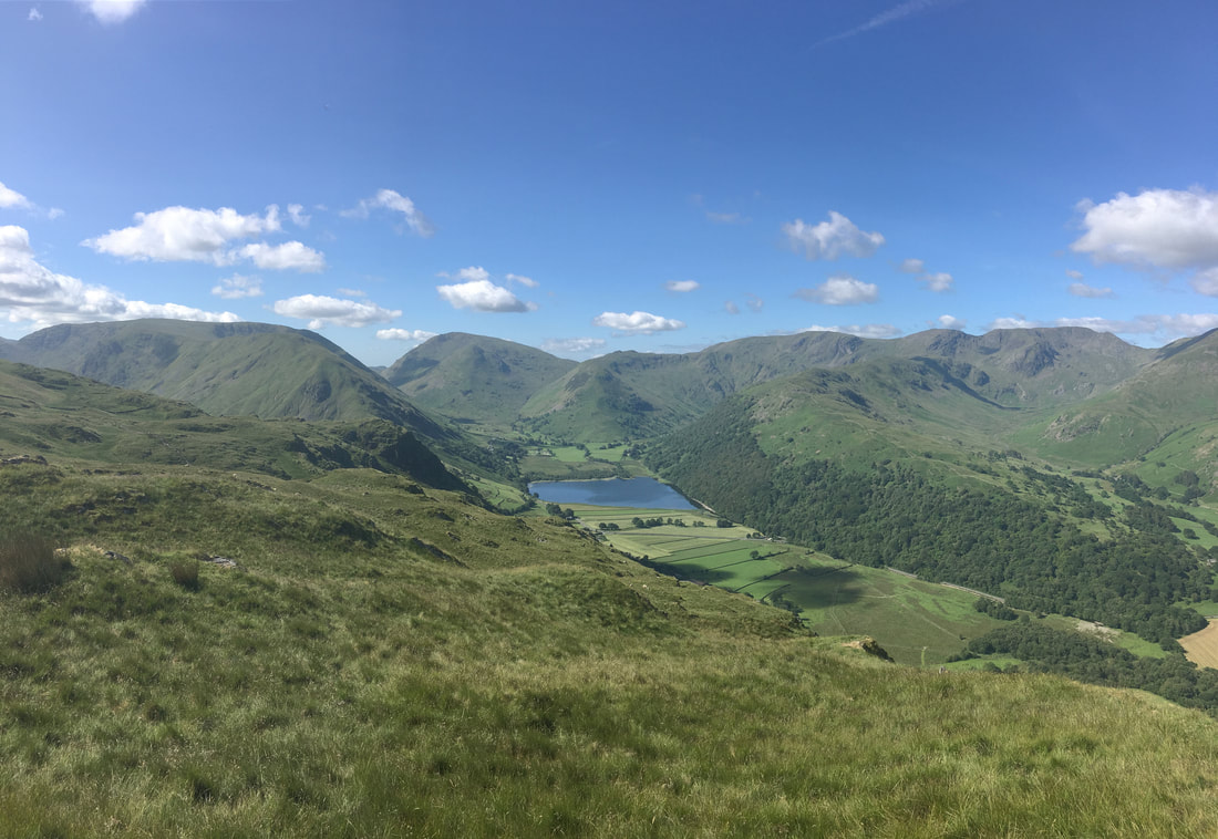
Looking to Brothers Water with Hartsop Dodd, Caudale Moor, Red Screes & the Fairfield Range providing the backdrop
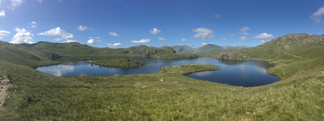
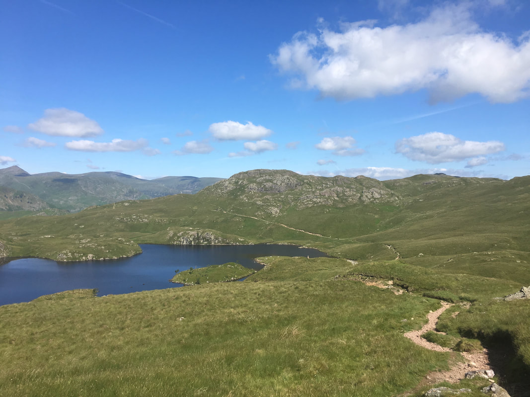
Angle Tarn
Looking back to Angletarn Pikes from above Angle Tarn. The Coast to Coast Path can be seen traversing below Angletarn Pikes.
Bannerdale from near Satura Crag
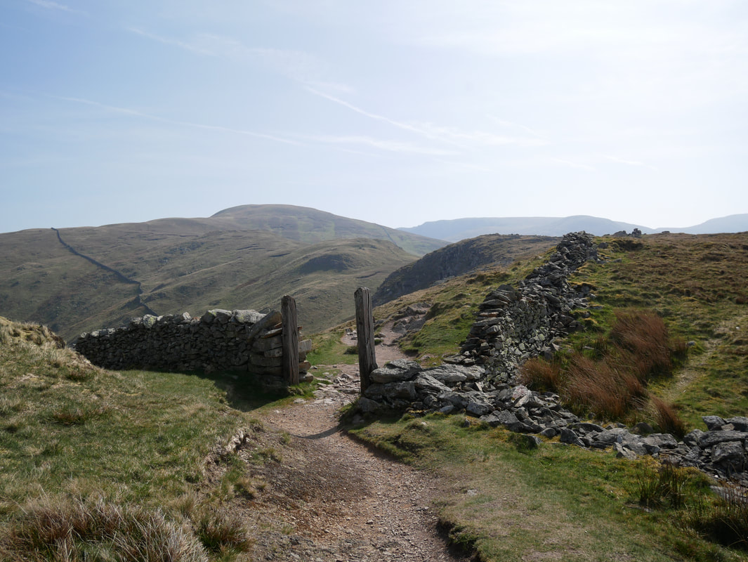
Passing through the wooden gateway
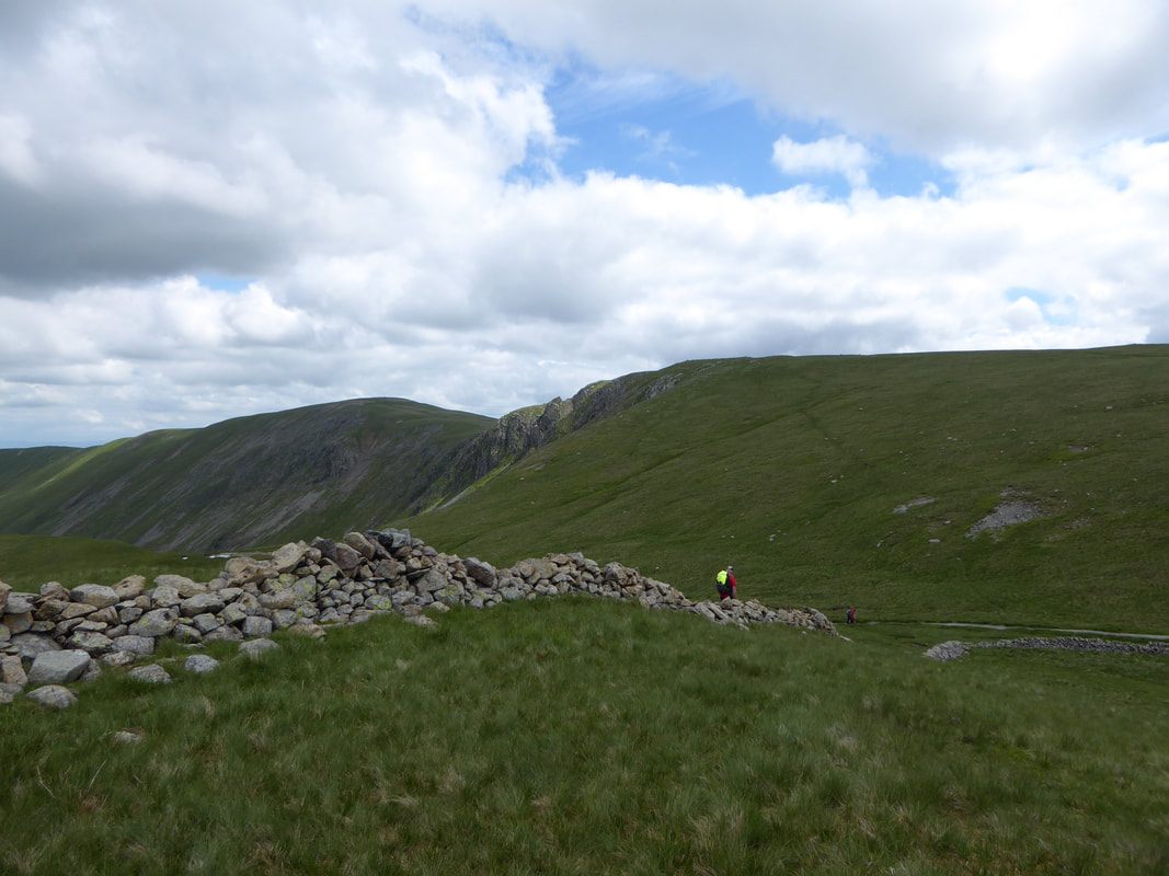
It is here that I have seen quite a few people make navigational errors thereby adding mileage onto an already long day on the Coast to Coast. Walkers need to pass through the gateway and keep to the left hand side of the broken wall on the right. A little further on from the gateway are several paths heading left and the temptation for walkers is to take one of these paths which heads off route towards Rest Dodd (the fell in the centre of shot). It is simple - handrail the wall (which later becomes a fence) as closely as possible and you will remain on the Coast to Coast path.
It is here that I have seen quite a few people make navigational errors thereby adding mileage onto an already long day on the Coast to Coast. Walkers need to pass through the gateway and keep to the left hand side of the broken wall on the right. A little further on from the gateway are several paths heading left and the temptation for walkers is to take one of these paths which heads off route towards Rest Dodd (the fell in the centre of shot). It is simple - handrail the wall (which later becomes a fence) as closely as possible and you will remain on the Coast to Coast path.
Handrailing the fence on the Coast to Coast Path. Rest Dodd is ahead and the C2C route can be seen heading to the right.
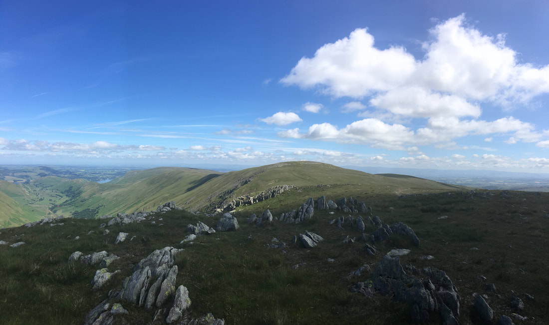
Ascending towards The Knott looking back to Satura Crag - fells everywhere
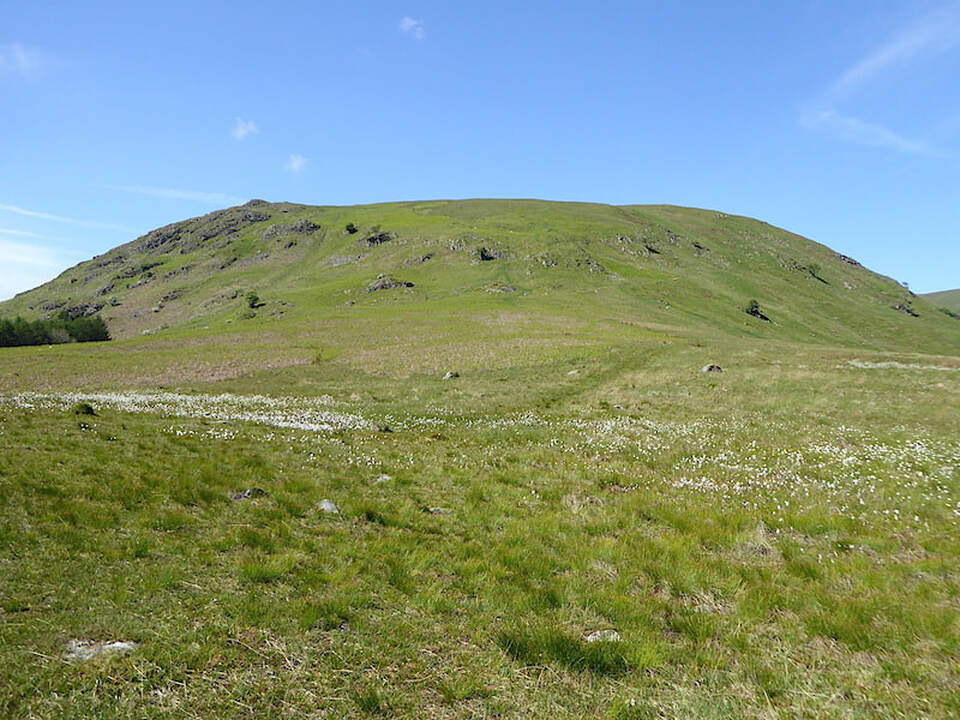
Breaking off route to climb The Knott which for very little effort is well worth it. The Coast to Coast path can be seen below and heads around the base of The Knott. In the background is Rest Dodd - a long, steep & pathless descent to regain the route should a mistake in navigation be made at the wooden gateway.
The summit of The Knott - for very little effort it affords a fantastic view of the Eastern Fells & beyond
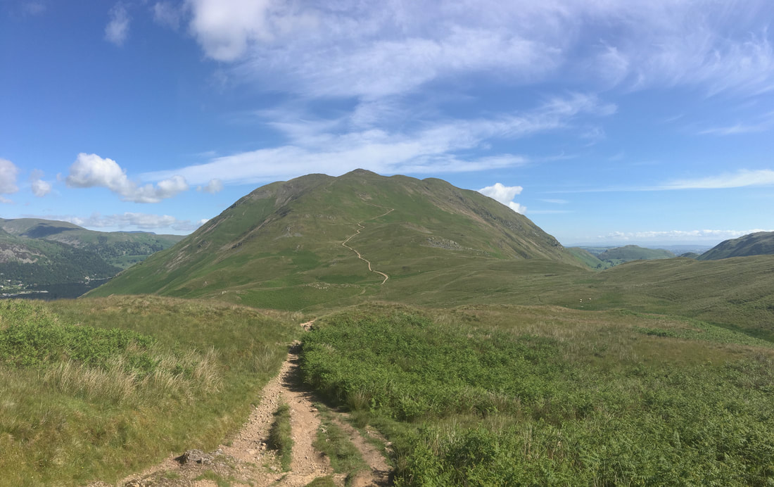
Heading down from The Knott - the Coast to Coast path is below and continues to the right. If the weather is set fair or you are able to navigate in low cloud then Kidsty Pike can be gained via Rampsgill Head. The path I took can be seen at the base of the wall and slopes up the fell side from right to left
Looking back to The Knott from the path to Rampsgill Head
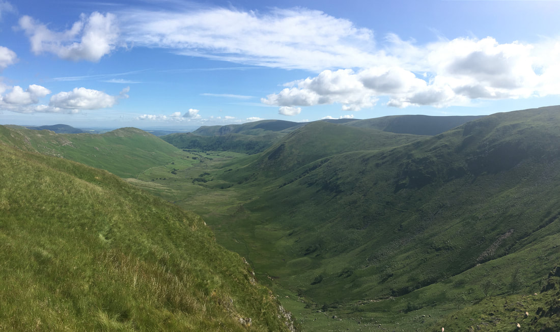
The valley of Ramps Gill
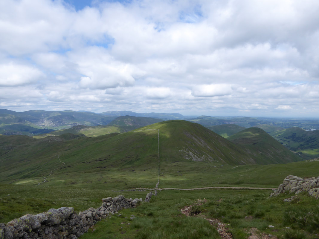
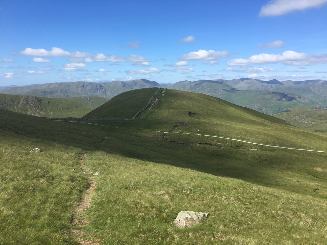
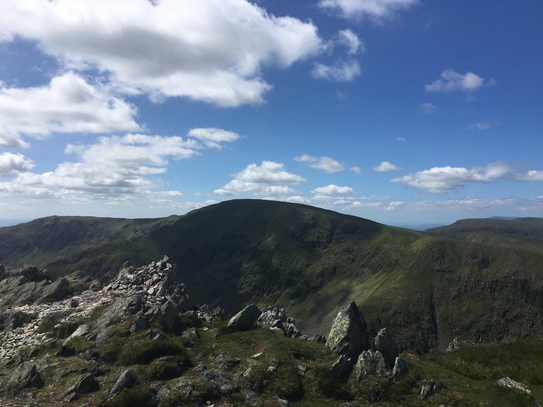
The summit of Rampsgill Head looking to High Raise with Low Raise to the right
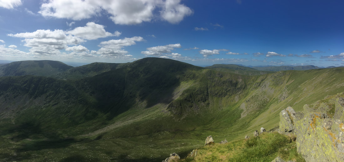
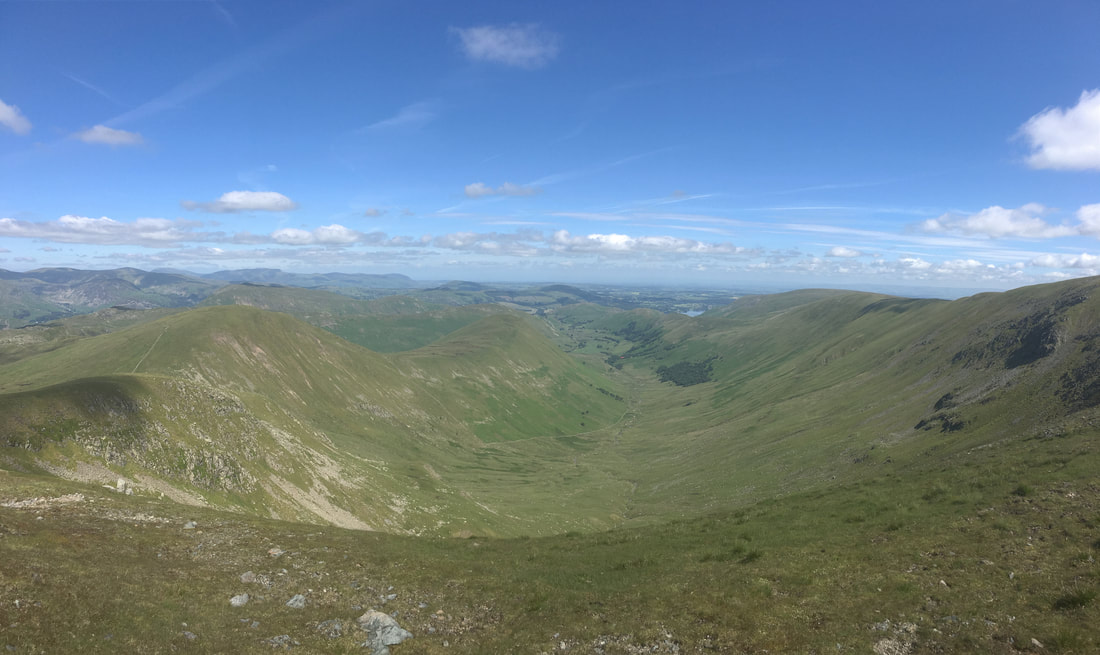
A panorama from near Kidsty Pike looking over Riggindale to Long Stile & High Street
The summit of Kidsty Pike looking to High Street
The summit of High Raise
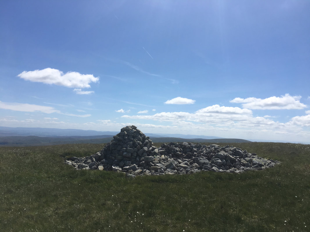
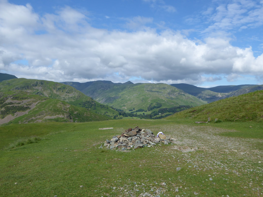
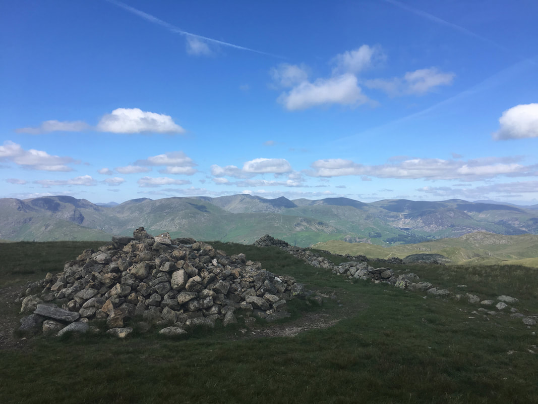
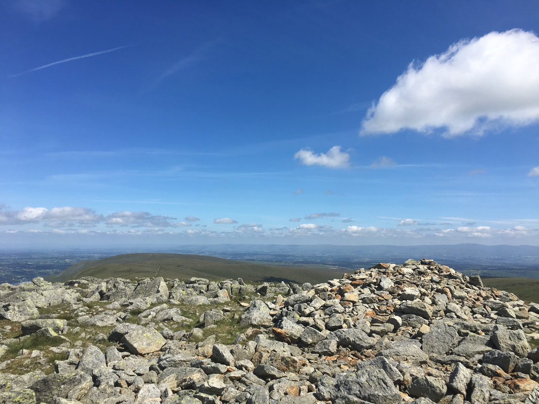
The cairn & wind shelter on the summit of Low Raise
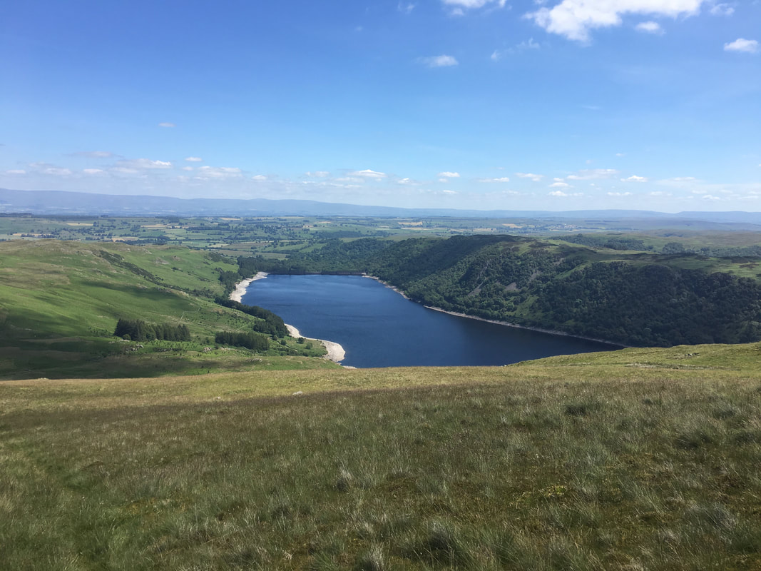
The northern end of Haweswater from Long Grain
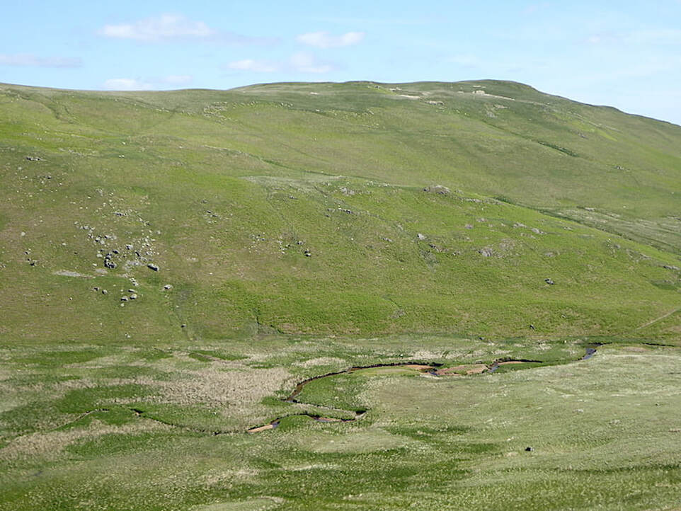
Descending to Measand Beck & Fordingdale Bottom with the bulk of Low Kop providing the backdrop
Looking back up to my descent from Measand End
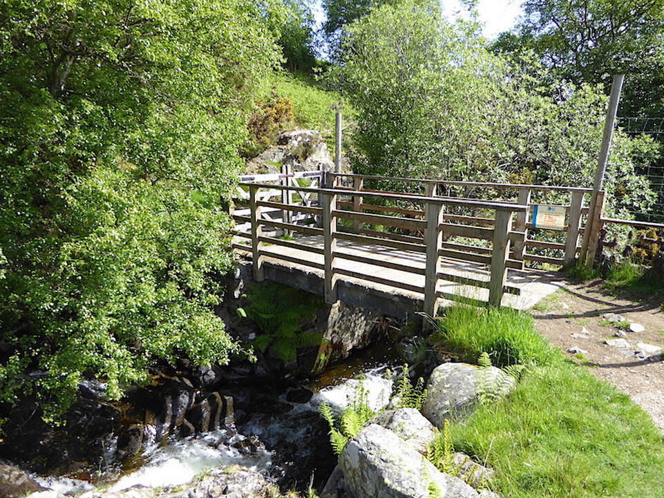
The route rejoins the main Coast to Coast Path at this footbridge over Measand Beck
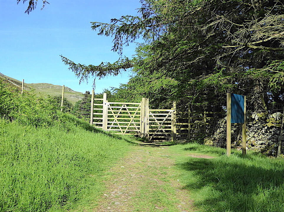
The route heads through a large Deer Gate just before the village of Burnbanks
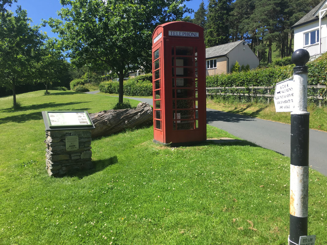
Journeys end for today in the lovely village of Burnbanks
Burnbanks is a small settlement one and a half miles south-west of the main village of Bampton. It comprises eighteen houses. Some of these have been built on the original footprints of houses occupied in the 1930's by the men and their families who were employed in building the dam at the end of Haweswater. Close by, at Naddlegate are half a dozen bungalows which were built for more senior staff, engineers and managers who came to work on the dam project.
Burnbanks is a small settlement one and a half miles south-west of the main village of Bampton. It comprises eighteen houses. Some of these have been built on the original footprints of houses occupied in the 1930's by the men and their families who were employed in building the dam at the end of Haweswater. Close by, at Naddlegate are half a dozen bungalows which were built for more senior staff, engineers and managers who came to work on the dam project.
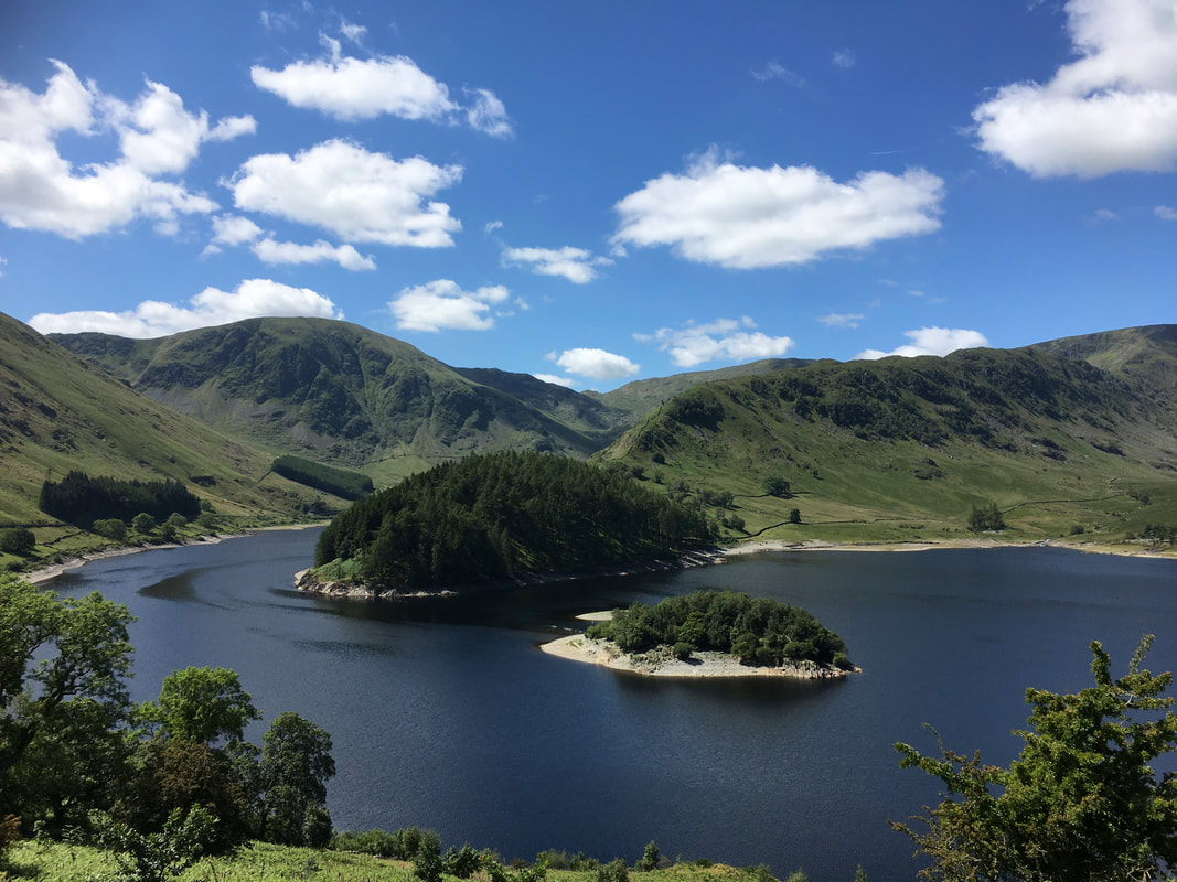
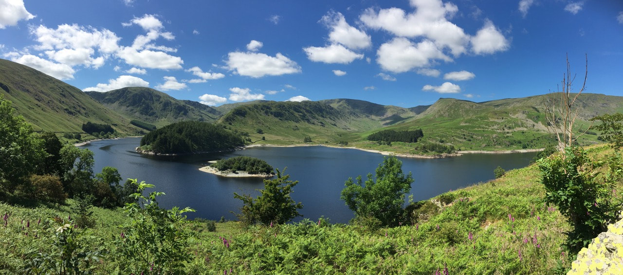
I was met at Burnbanks by Angie & Fudge who, whilst I was hot footing it over from Patterdale took the opportunity to drive along the eastern side of Haweswater and capture these lovely images of this man made but still beautiful spot. The wooded spit of land jutting out is known as The Rigg and the island is called Wood Howe. Harter Fell is to the left with the superb ridge encompassing Rough Crag & Long Stile to the right
A wider panoramic of the southern end of Haweswater