Lingmoor Fell & Side Pike - Saturday 21 March 2020
Route
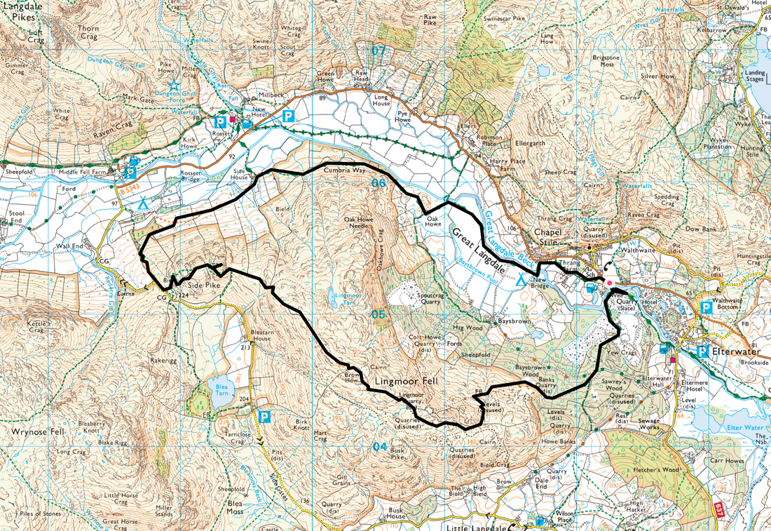
Chapel Stile - Banks Quarry - Lingmoor Fell - The Squeeze - Side Pike - Cumbria Way - Oak Howe - Great Langdale - New Bridge - Chapel Stile
Parking
Various off road parking near Wainwrights' Inn at Chapel Stile (Free) - Grid Ref NY 3226 0524 (nearest postcode is LA22 9JD). Alternatively this walk can be started from the village of Elterwater which is half a mile to the east.
Mileage
7.2 miles
Terrain
Mountain paths & tracks. The descent to the Wrynose Pass road from Side Pike is steep in part therefore care needs to taken on some sections, particularly if the terrain is wet or icy.
Weather
Overcast mainly with some sunny spells in the morning. Temperature cool with light breezes.
Time Taken
4hrs 30mins
Total Ascent
1637ft (499m)
Wainwrights
1
Map
OL6 - The English Lakes (South Western Area)
Walkers
Dave, Angie & Fudge
|
GPX File
|
| ||
If the above GPX file fails to download or presents itself as an XML file once downloaded then please feel free to contact me and I will send you the GPX file via e-mail.
Route Map
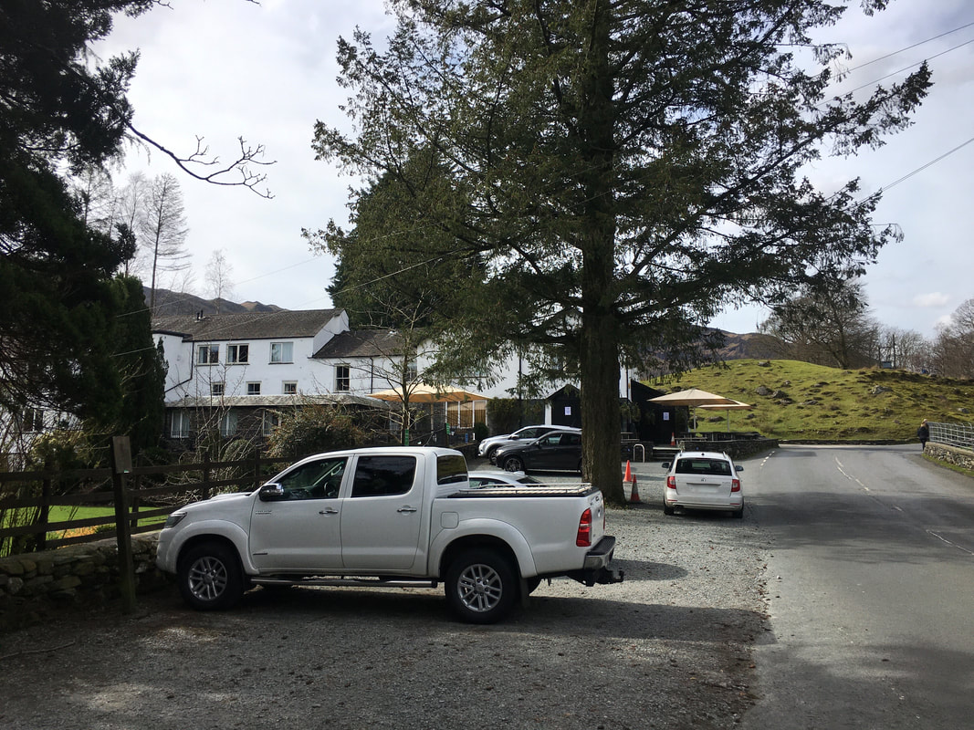
The parking area near Wainwrights' Inn near Chapel Stile.
If you are going to park here then ask permission and also let the pub know you intend to use their facilities after the walk. Due to this being two days before official Covid-19 lockdown the pub was closed. The walk can also be started from Elterwater and there is verge parking nearby also.
If you are going to park here then ask permission and also let the pub know you intend to use their facilities after the walk. Due to this being two days before official Covid-19 lockdown the pub was closed. The walk can also be started from Elterwater and there is verge parking nearby also.
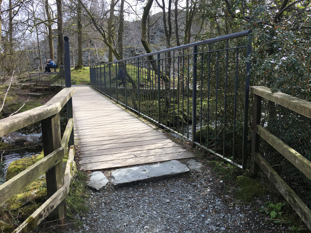
The bridge over Great Langdale Beck.
Once the bridge is crossed the route heads to the right however we headed left in order to give Fudge some swim time before retracing our steps.
Once the bridge is crossed the route heads to the right however we headed left in order to give Fudge some swim time before retracing our steps.
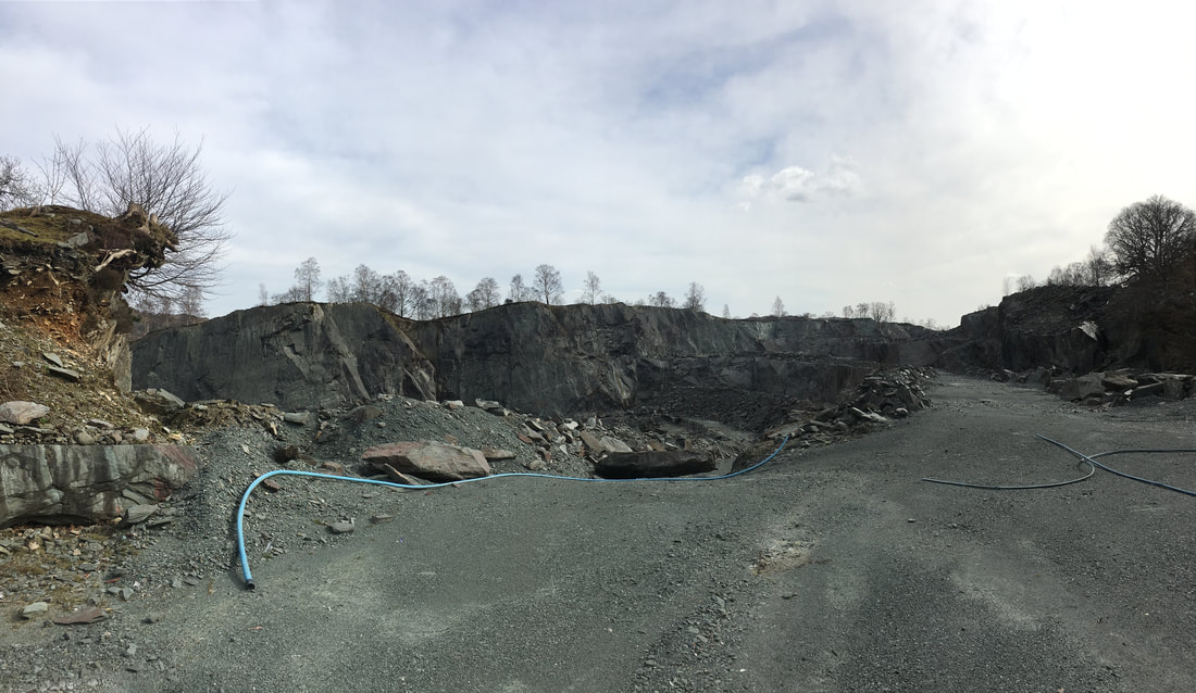
Burlington Slate Quarry
The high quality Westmorland green slate is quarried at 3 sites - one here near Elterwater with the other 2 sites at Barrow & Kirkby in Furness.
The high quality Westmorland green slate is quarried at 3 sites - one here near Elterwater with the other 2 sites at Barrow & Kirkby in Furness.
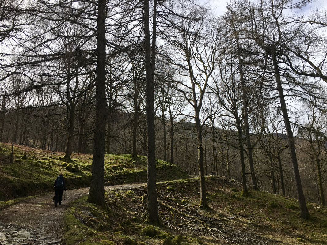
The path rises gently through Baysbrown Wood
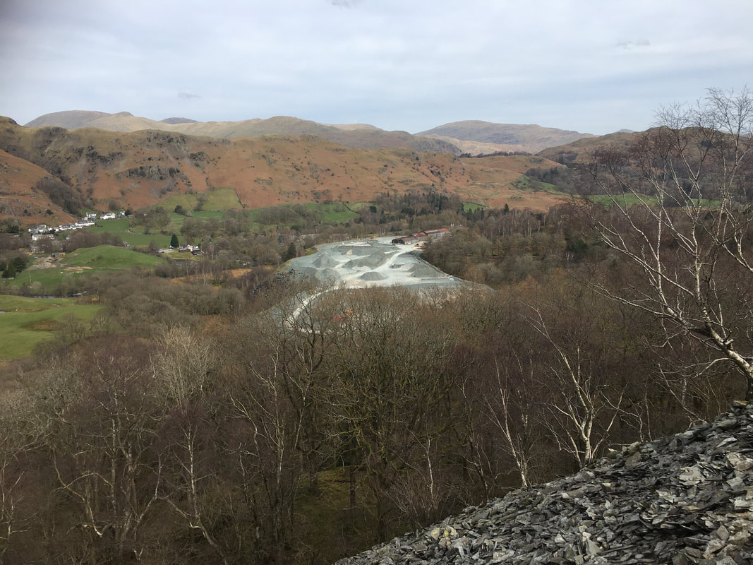
The view back to Burlington Quarry & Chapel Stile
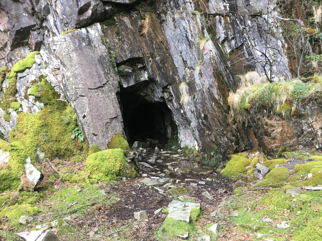
Passing one of the old quarry levels
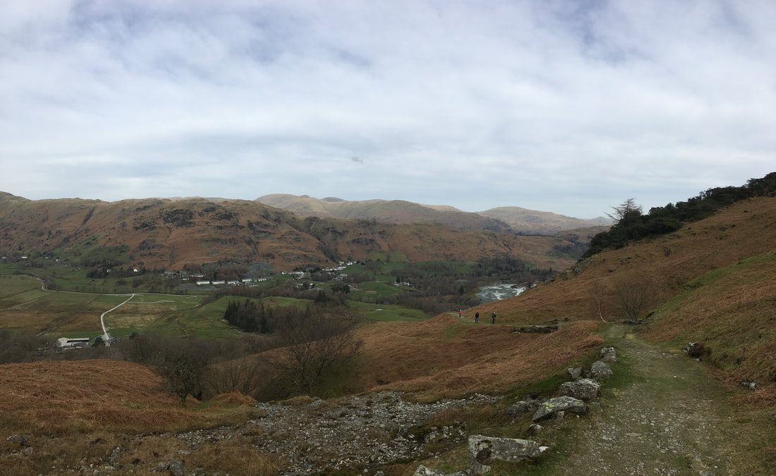
The route continues up the fell side on an old quarry track
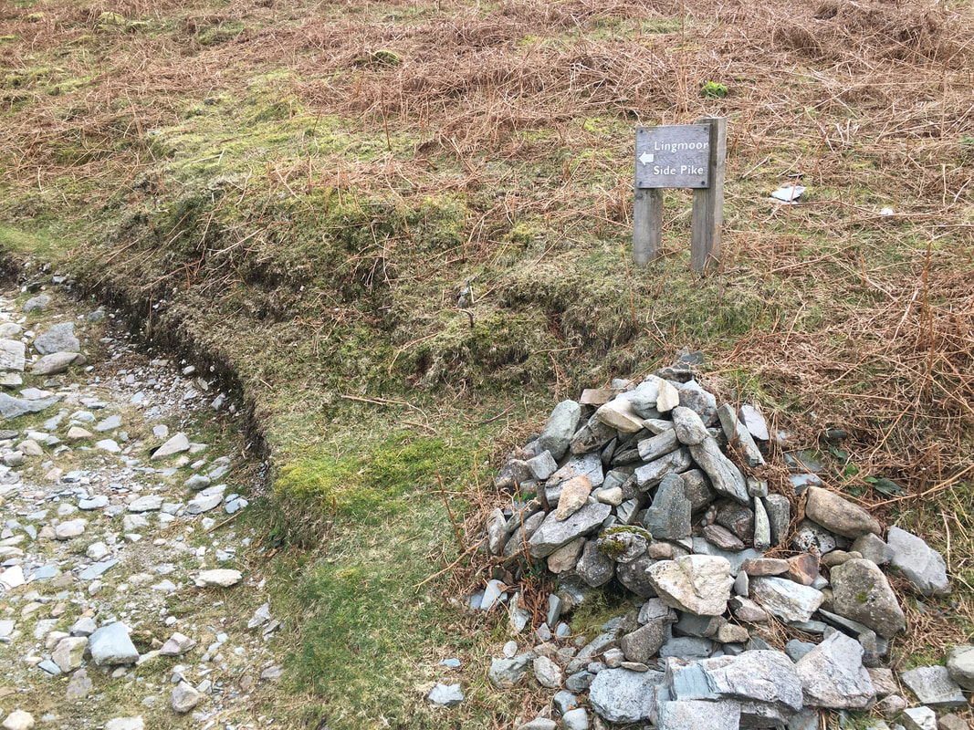
A cairn and a sign on the quarry track points the way to join the main summit ridge
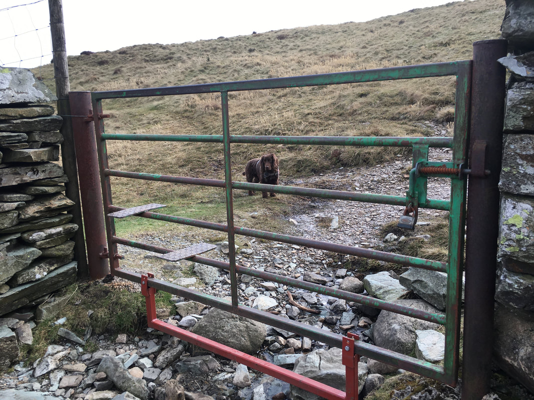
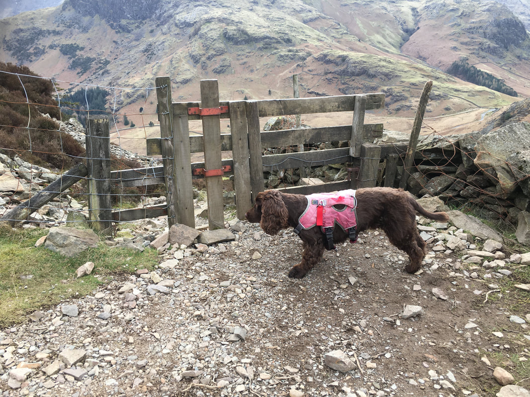
I don't normally make a habit of taking pictures of gates but I have never seen one quite like this where the steps are incorporated within the rails.
Fudge can't understand what all the fuss is about - he just limbo'd under it as usual.
Fudge can't understand what all the fuss is about - he just limbo'd under it as usual.
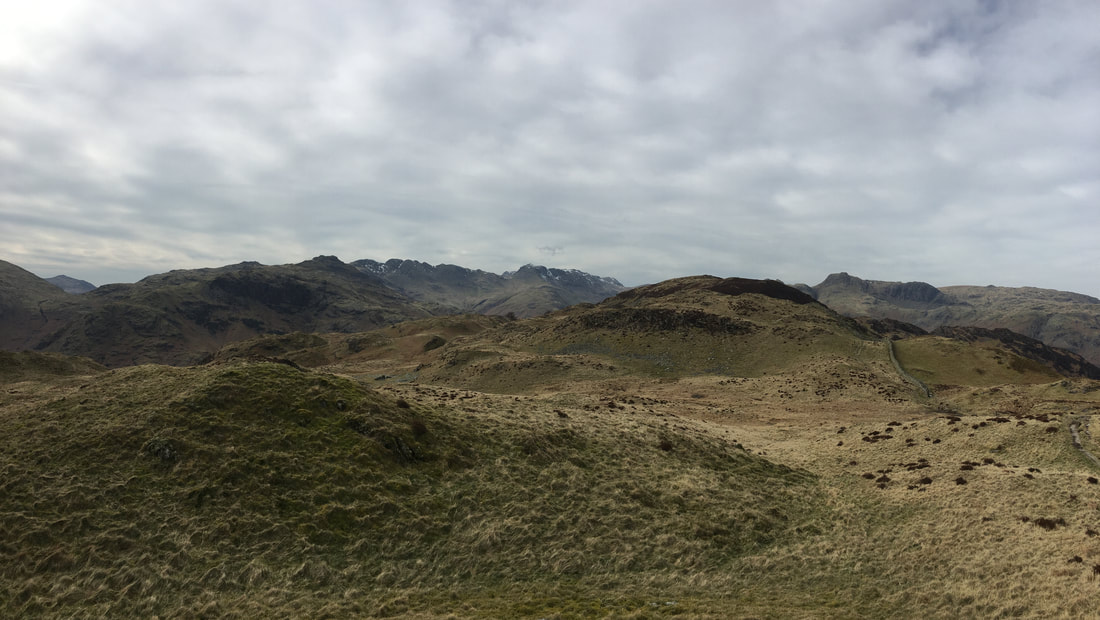
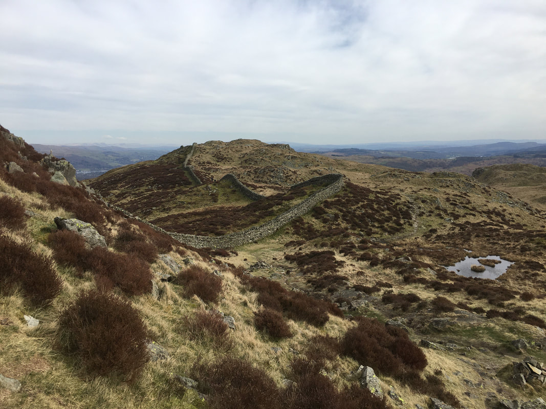
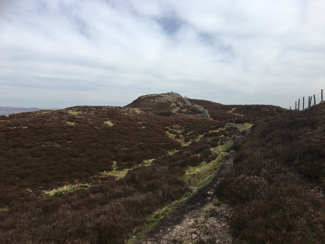
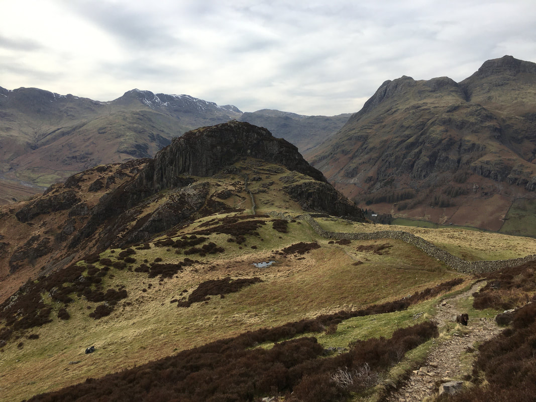
Atop the eastern ridge on Lingmoor Fell. The summit is centre right and it is a simple case of following the wall most of the way.
As can be seen, the light was rubbish for decent photography but hey at least we were out and it wasn't raining.
As can be seen, the light was rubbish for decent photography but hey at least we were out and it wasn't raining.
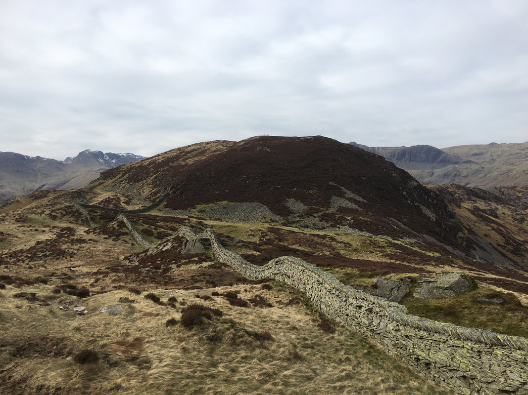
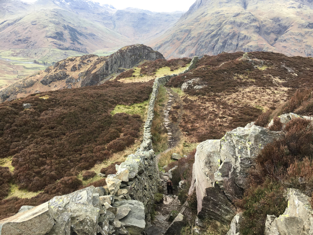
Heading along the left hand side of the wall towards Lingmoor Fell along the east ridge. In the left of the picture the wall can be seen heading to the right towards the summit. The wall is not followed directly to the top - the path continues to the left and turns to the right to eventually reach the summit.
Looking back along the summit ridge from the path
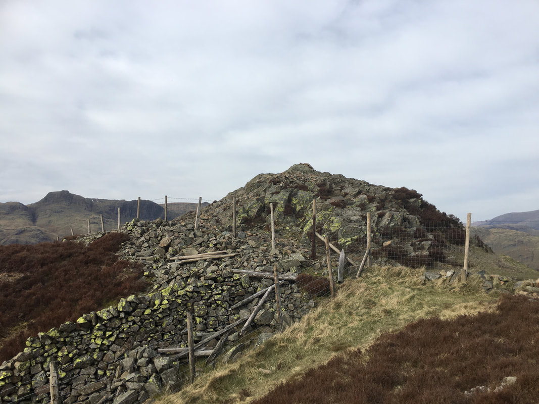
The summit of Lingmoor Fell - Brown How.
The summit is accessed by crossing the fence to the right via a rickety stile (just out of shot).
The summit is accessed by crossing the fence to the right via a rickety stile (just out of shot).
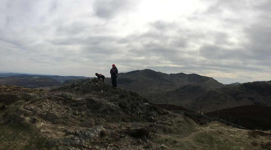
The summit of Lingmoor Fell looking to Wetherlam
Our onward route from Lingmoor Fell follows the wall to the left.
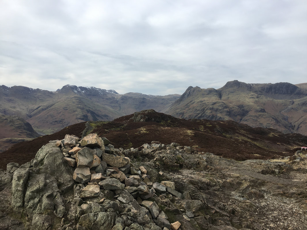
In the distance to the left are Crinkle Crags, Bowfell, Great End, Allen Crags and The Langdale Pikes
In the distance to the left are Crinkle Crags, Bowfell, Great End, Allen Crags and The Langdale Pikes
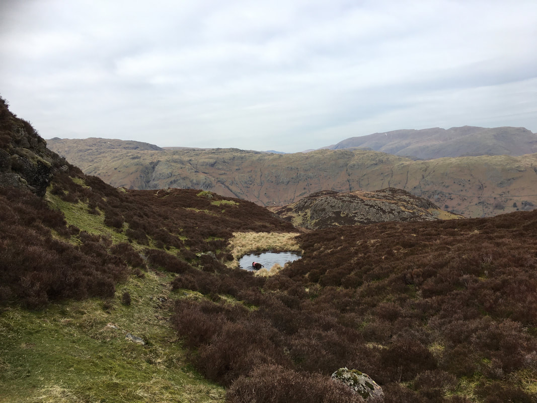
If there is water about he will find it
Looking back to Lingmoor Fell
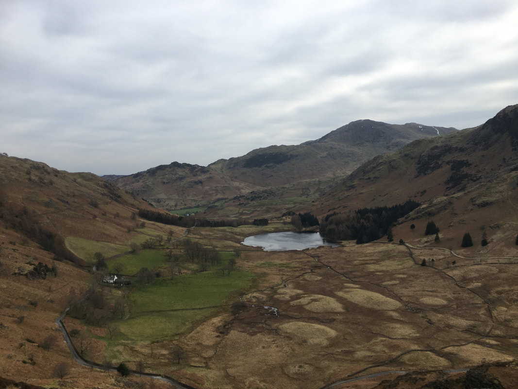
Looking down on Blea Tarn to Wrynose Fell & Pike O'Blisco with Crinkle Crags to the right
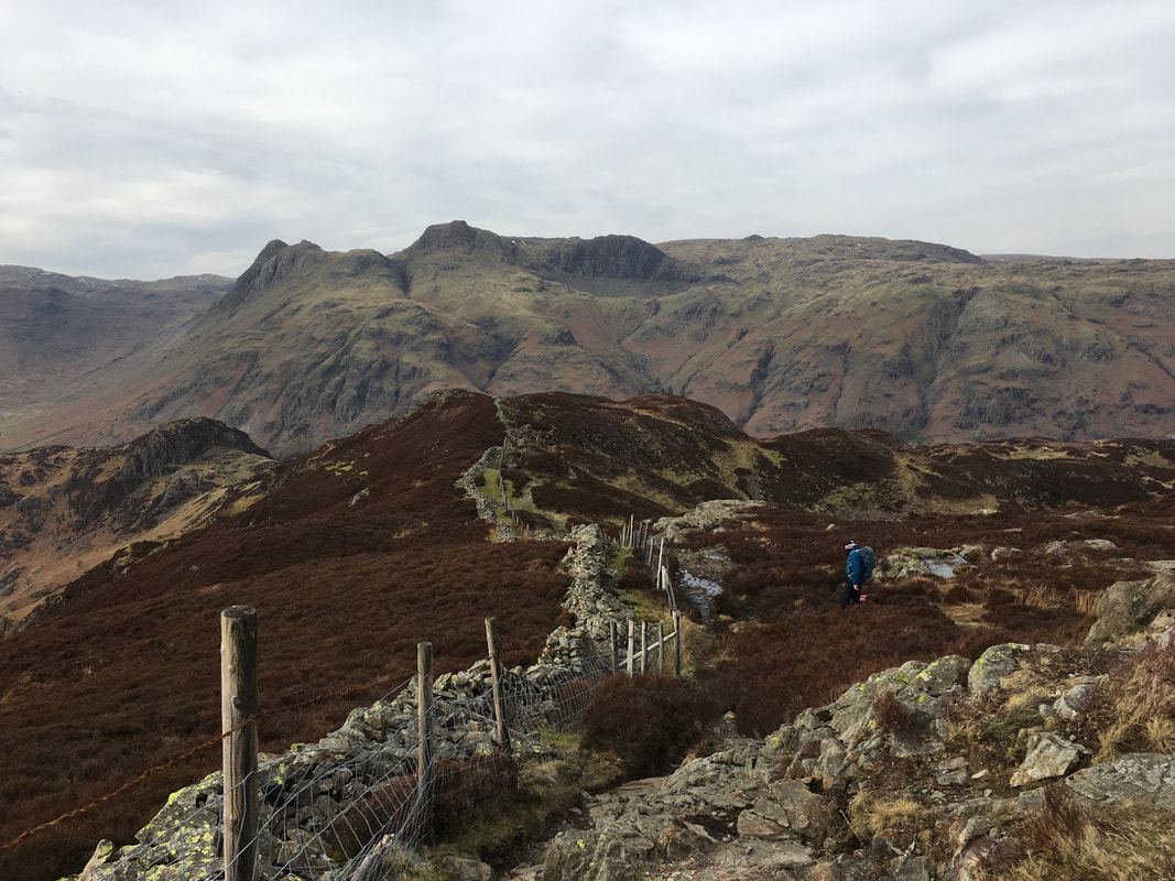
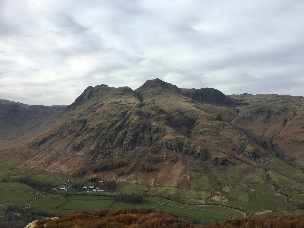
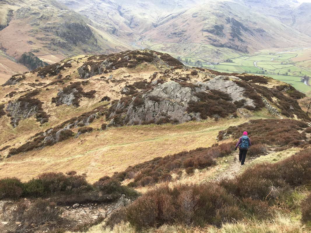
The path weaves in and out of the heather. Keep an eye on your feet through here, particularly as your eyes will be drawn to the superb view of The Langdale Pikes every so often. Our next objective of Side Pike can be seen to the left.
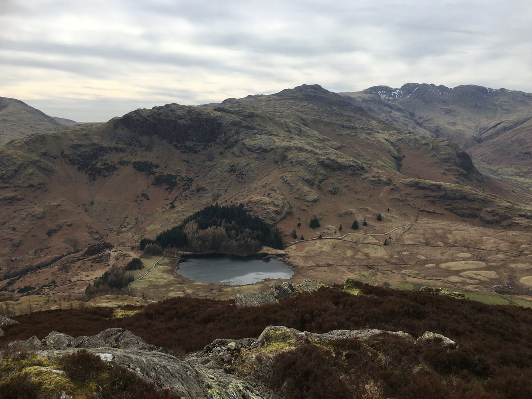
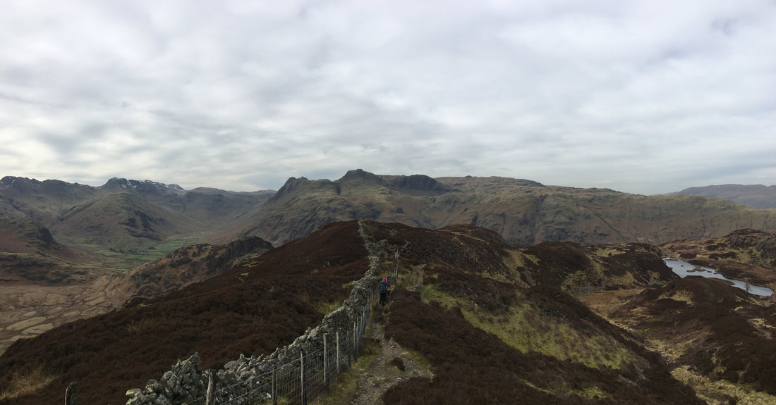
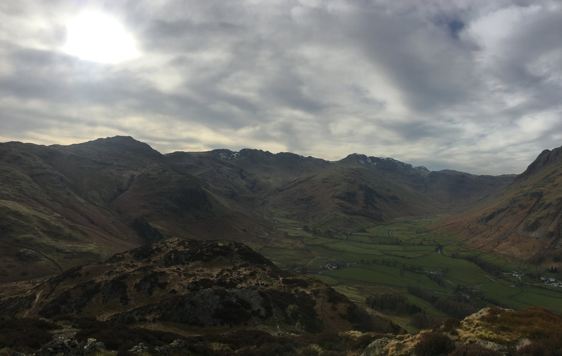
Panorama of the view as we made our way to Side Pike - just wish we had a better weather day but no matter. Lingmoor Tarn can be seen to the right.
Fudge sporting his 'impatient mutt" look as we continue along the western ridge of Lingmoor Fell
Poised & ready for one of us to let him through
Side Pike ahead - can you see the two walkers on the summit?
Below Side Pike.
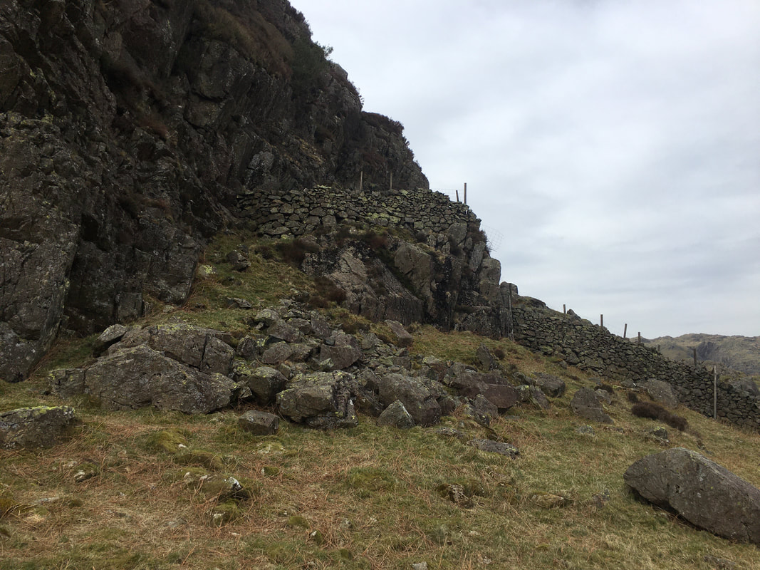
The route turns to the left here and approaches the summit safely via a path along the west ridge. On no account should the wall pictured here be scaled in order to climb to the summit as the north, east & south sides of Side Pike are extremely precipitous.
The route turns to the left here and approaches the summit safely via a path along the west ridge. On no account should the wall pictured here be scaled in order to climb to the summit as the north, east & south sides of Side Pike are extremely precipitous.
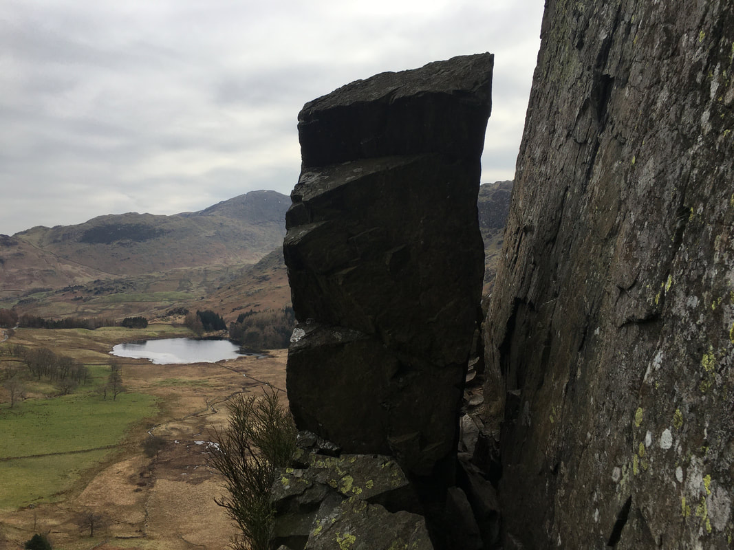
"The Squeeze" on Side Pike looking to Blea Tarn.
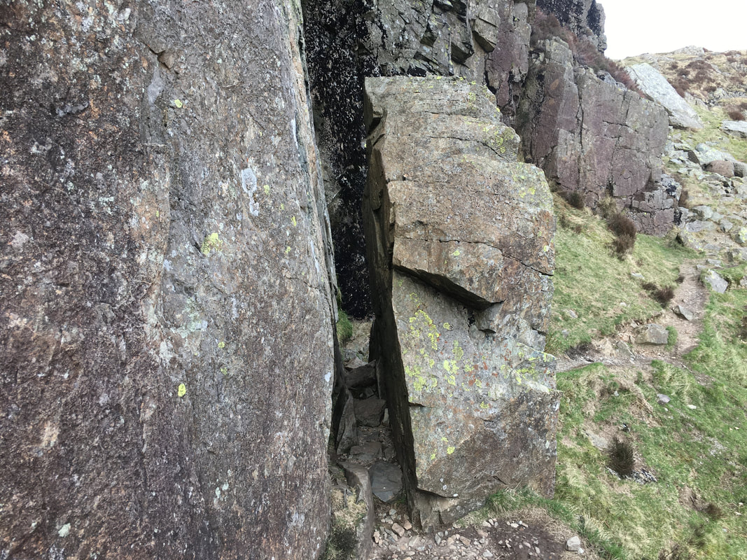
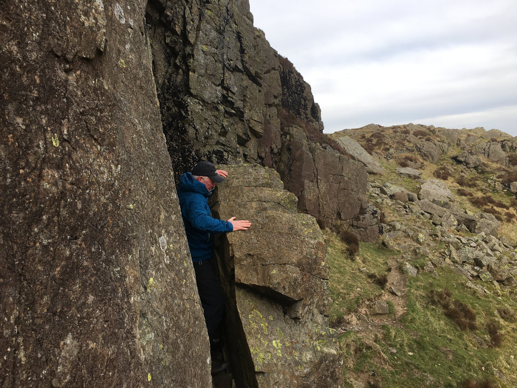
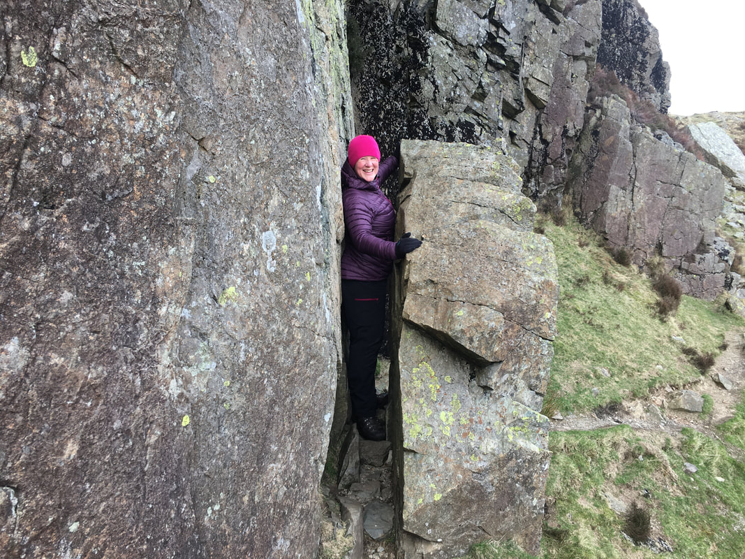
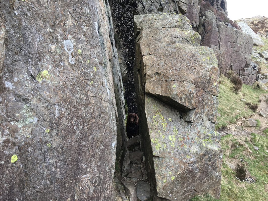
This gap has several names but is generally known as "The Squeeze" for obvious reasons. Unless you are built like a racing snake it is definitely rucksacks off in order to get through here.
This gap has several names but is generally known as "The Squeeze" for obvious reasons. Unless you are built like a racing snake it is definitely rucksacks off in order to get through here.
The other side of The Squeeze
Doddle
The "sylph like" Mrs W made it look very easy too.
Looks like Fudge wasn't too sure he could fit through
If you don't fancy trying to fit through The Squeeze a rough path drops down one side and heads up the other
Blea Tarn looking to Wetherlam
Pike O'Stickle, Loft Crag, Harrison Stickle & Pavey Ark from Side Pike
The valleys of Oxendale & Mickleden from Side Pike
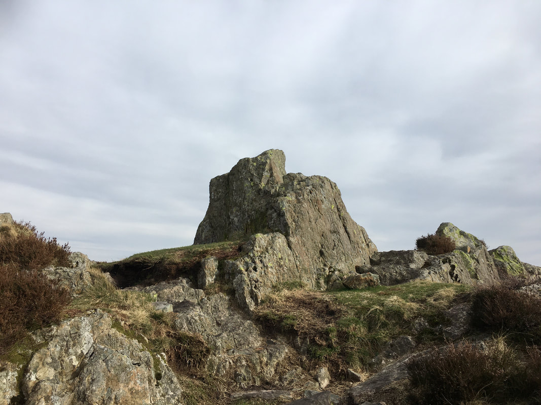
The rocky outcrop that marks the summit of Side Pike
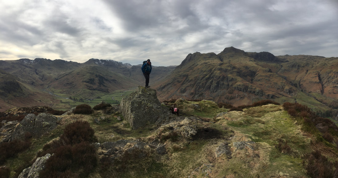
Not a bad view from Side Pike's summit
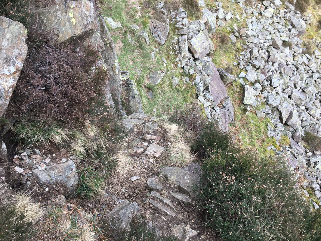
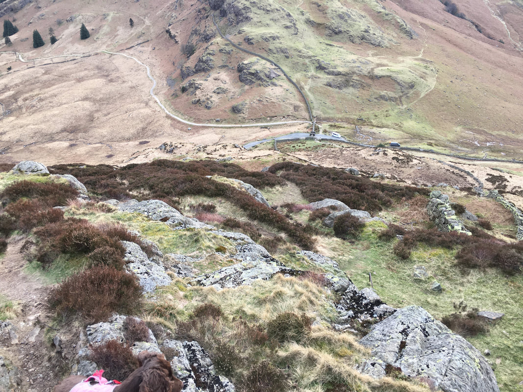
The descent to the Wrynose Pass road from Side Pike - this was also our route of ascent
Whilst the descent is steep in parts it is not overly difficult - just take care if it is wet or icy.
Once down at the road the path heads alongside it for a few yards. When the road turns sharp left the path carries on ahead to zig zag down towards the NT campsite in Langdale before turning right to head towards Side House Farm which can be seen ahead. At the farm the path joins the Cumbrian Way.
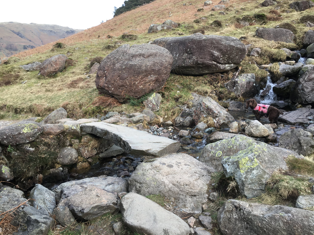
A single slab stone footbridge - the gill over which gave Fudge another excuse to arse about in the water
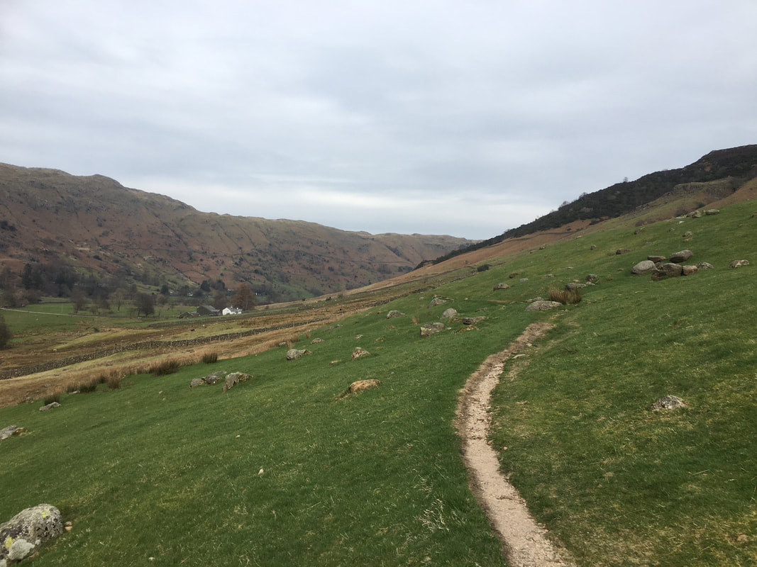
Not far to go now back to Chapel Stile on what was, despite the poor light a fantastic day out
