Pepperpot, Hoy's Monument & St Catherine's Point -
Tuesday 6 February 2018
Route
Blackgang - St Catherine's Oratory (The Pepperpot) - Hoy's Monument - Wydcombe - Head Down - Bury Lane - Niton - St Catherine's Point - Gore Cliff - Blackgang
Parking
Blackgang Viewpoint Car Park (Free) - Grid Reference is SZ491767 (Post Code is PO38 2JB)
Mileage
8.2 miles
Terrain
Excellent paths throughout with some road walking on quiet lanes & roads
Weather
Cold yet sunny with very good visibility.
Time Taken
5hrs
Total Ascent
1807ft (551m)
Map
OL29 Isle of Wight
Walkers
Dave, Angie & Fudge
|
GPX File
|
| ||
If the above GPX file fails to download or presents itself as an XML file once downloaded then please feel free to contact me and I will send you the GPX file via e-mail.
Route Map
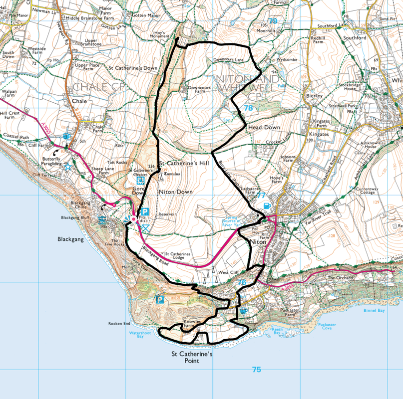
The Car Park at Blackgang - the sign can be seen pointing the way to St Catherine's Oratory.
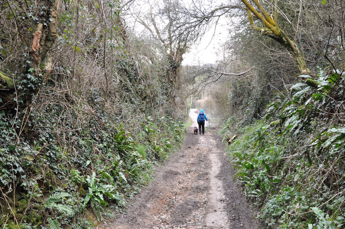
The Car Park is situated near Blackgang Chine - a "Chine" is a steep sided coastal gorge.
The Car Park is situated near Blackgang Chine - a "Chine" is a steep sided coastal gorge.
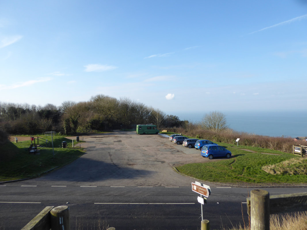
Looking to the Highdown Cliffs & Tennyson Down from the ascent of the Oratory
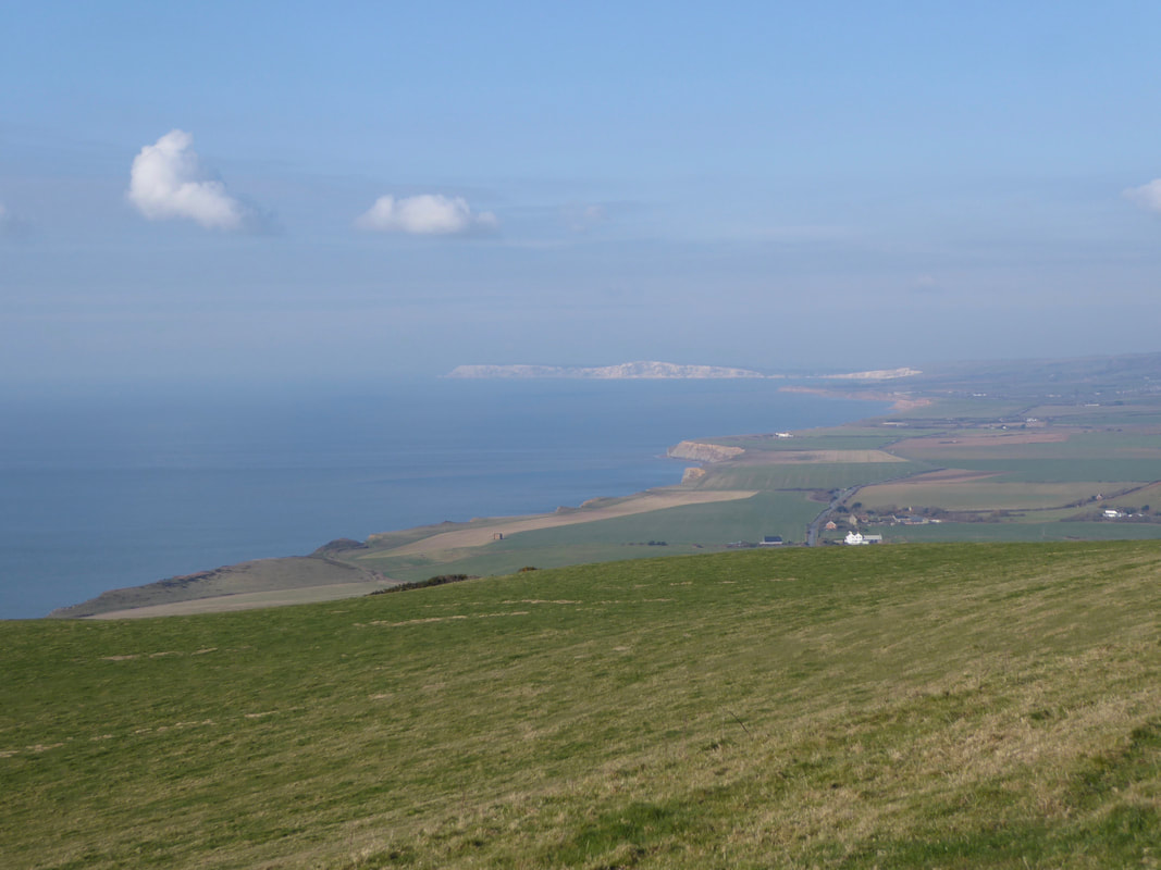
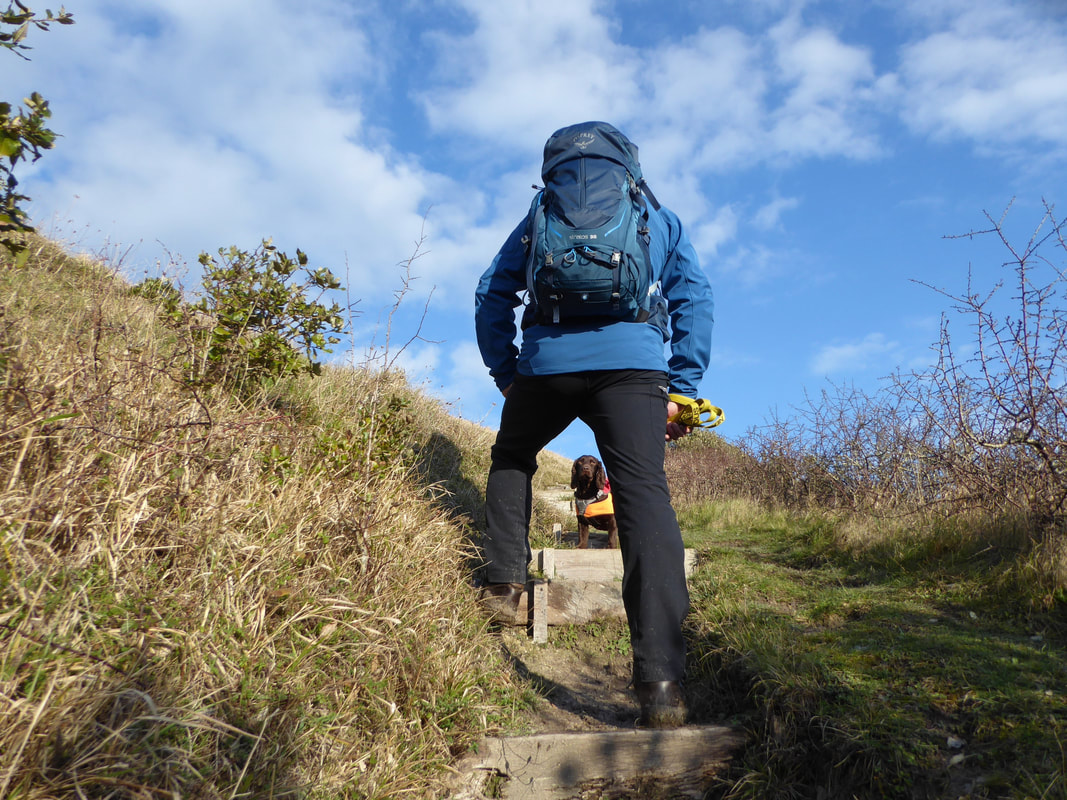
The lovely grassy ascent to the Oratory was right up Fudge's street - it is his favourite type of terrain
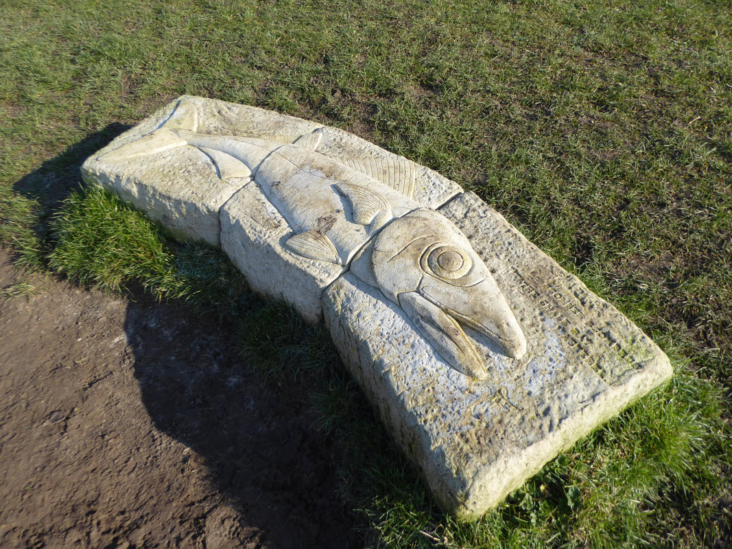
Halfway up the rise is a sculptured seat depicting the Chale Bay Mackerel "Scomber Scombrus"
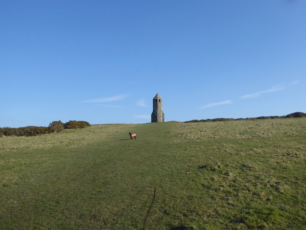
The last part of the rise up Gore Down and St Catherine's Oratory comes into view
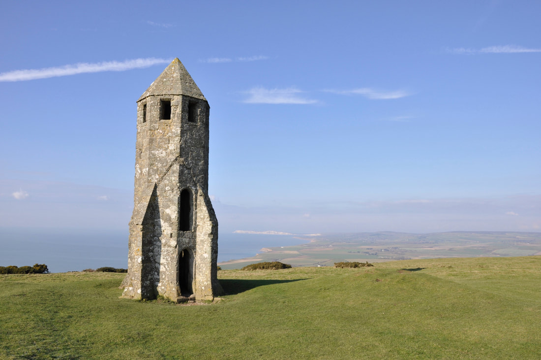
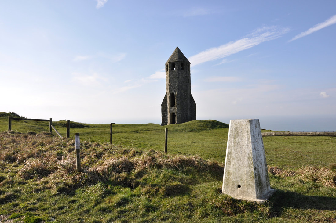
St Catherine's Oratory
What is left is known affectionately by locals as "The Pepperpot". Completed in 1328, it is likely that the Oratory was erected by Walter de Godeton, a local landowner who was condemned by the Church for stealing casks of wine from a shipwreck which had occurred in 1314 off Chale Bay. The ship was one of a fleet carrying a cargo of white wine for the monastery of Livers in Picardy. The Church threatened de Godeton with excommunication unless he built a lighthouse above the scene of the shipwreck, together with an adjoining oratory. The oratory was to be endowed to maintain a priest to tend the light and to say masses for souls lost at sea. The duties were apparently carried out until the Reformation in the 16th century.
What is left is known affectionately by locals as "The Pepperpot". Completed in 1328, it is likely that the Oratory was erected by Walter de Godeton, a local landowner who was condemned by the Church for stealing casks of wine from a shipwreck which had occurred in 1314 off Chale Bay. The ship was one of a fleet carrying a cargo of white wine for the monastery of Livers in Picardy. The Church threatened de Godeton with excommunication unless he built a lighthouse above the scene of the shipwreck, together with an adjoining oratory. The oratory was to be endowed to maintain a priest to tend the light and to say masses for souls lost at sea. The duties were apparently carried out until the Reformation in the 16th century.
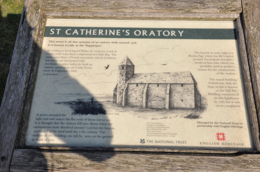
How the Oratory would have looked - the Pepperpot Tower is all that remains although as it states on the information board, the outline of the adjoining building can clearly be seen on the ground next to the tower.
The Trig Point on the summit of St Catherine's Hill (formerly called Chale Down)
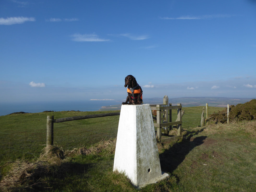
As is tradition - and what a view eh Fudge?
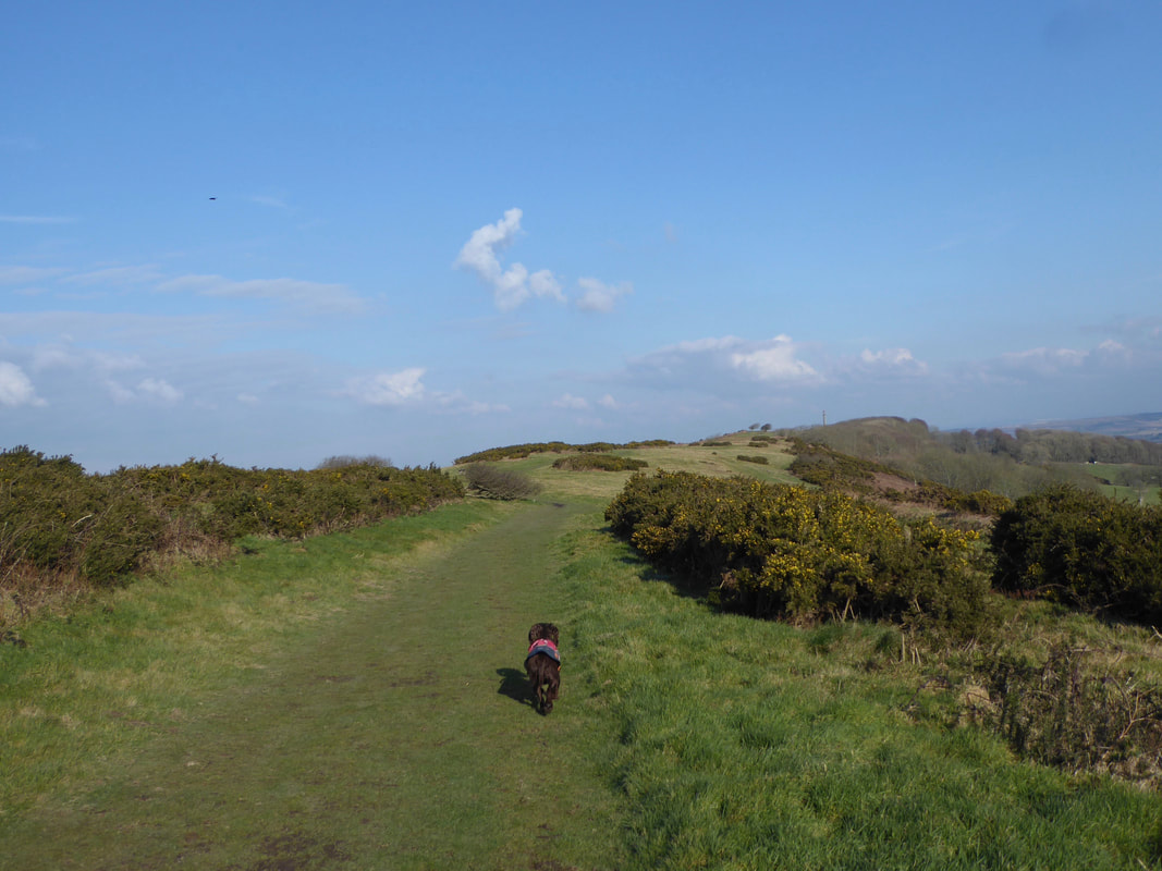
From The Pepperpot the route heads over St Catherine's Down towards Hoy's Monument

It clearly gets a bit blowy up here

The lovely amble along St Catherine's Down. Hoy's Monument is at the end of the ridge in the centre of shot
Continuing along St Catherine's Down with Hoy's Monument now in view - Fudge is in "trundle mode"
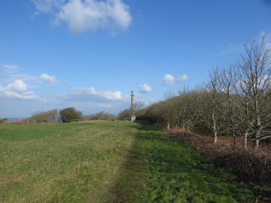
Approaching Hoy's Monument
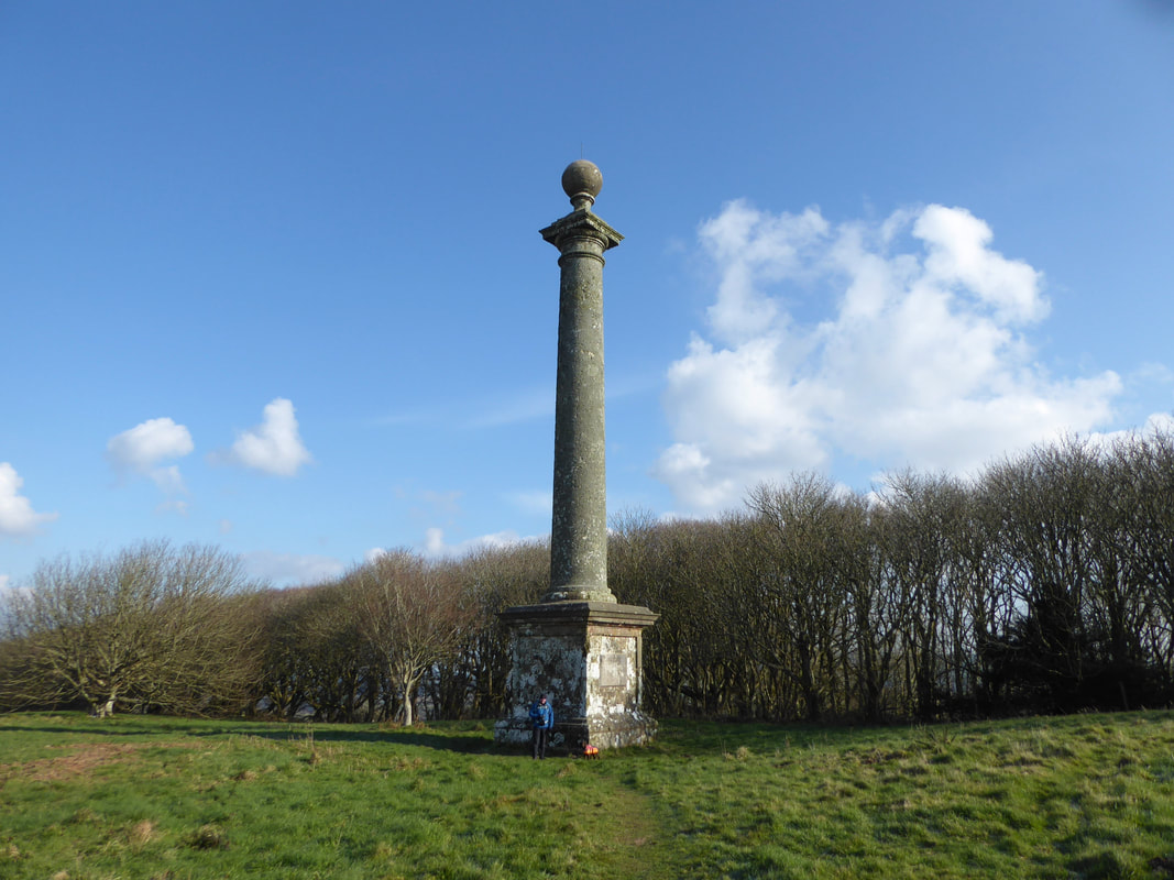
Myself & Fudge at Hoy's Monument
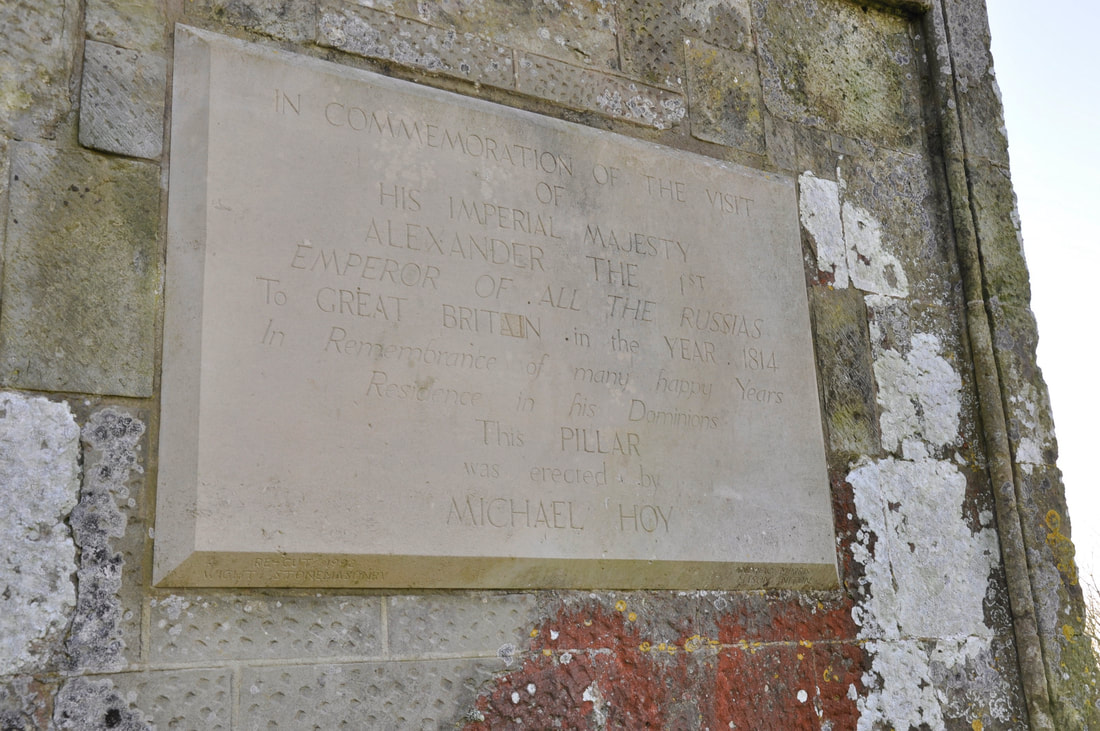
Michael Hoy, a successful Russian merchant who had a home on the Isle of Wight had the monument erected to commemorate the visit to Britain in 1814 of ‘His Imperial Majesty Alexander the 1st, Emperor of all the Russias’. Tsar Alexander the First was held in high esteem by the British because he had dealt a serious blow to Napoleon's ambitions to dominate Europe by repelling the French invasion of Russia in 1812. Although he visited Portsmouth, the Tsar did not make the short crossing to the Isle of Wight. Nevertheless, Michael Hoy wished to mark the event ‘In Remembrance of many happy Years Residence in his Dominions’ as the inscription on the pillar proclaims.
Michael Hoy, a successful Russian merchant who had a home on the Isle of Wight had the monument erected to commemorate the visit to Britain in 1814 of ‘His Imperial Majesty Alexander the 1st, Emperor of all the Russias’. Tsar Alexander the First was held in high esteem by the British because he had dealt a serious blow to Napoleon's ambitions to dominate Europe by repelling the French invasion of Russia in 1812. Although he visited Portsmouth, the Tsar did not make the short crossing to the Isle of Wight. Nevertheless, Michael Hoy wished to mark the event ‘In Remembrance of many happy Years Residence in his Dominions’ as the inscription on the pillar proclaims.
The stone pillar adorning one side of Hoy's Monument
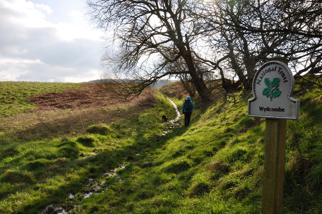
Leaving Hoy's Monument the route now heads for Wydcombe
Heading down Bury Lane towards the village of Niton
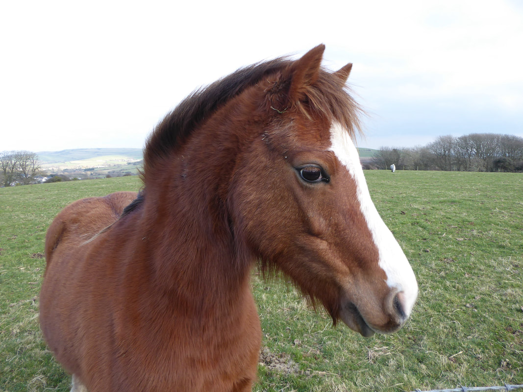
This chap was extremely placid and interested in us - sorry pal, got no carrots today
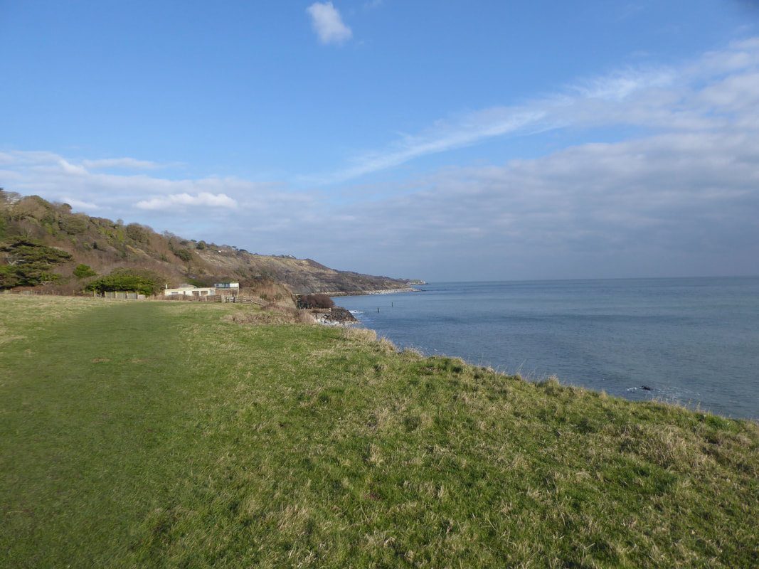
After passing through the village of Niton the route reaches the sea near Reeth Bay
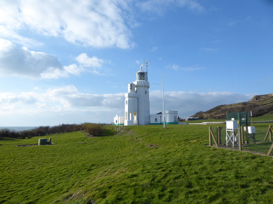
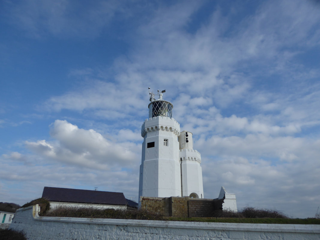
St Catherine's Lighthouse
Built in 1838, the lighthouse began operation in 1840. When the cows on the Downs first saw its light, they're said to have stampeded in fear. In 1875, the height of the elegant 3-tier octagonal tower was reduced substantially as, like its predecessors its light was often shrouded in mist. It was one of the first lighthouses in the world to be powered by electricity when arc lamps were installed in 1888. They could be seen for an incredible 18 miles. The original fog signal house was on a cliff nearer the sea but was at risk of collapse due to erosion. In 1932, it was replaced by a shorter tower next to the main lighthouse. Being similar in style, they're known locally as the Cow and Calf. St. Catherine’s Lighthouse was automated in 1997 with the keepers leaving the lighthouse on 30 July that year.
Built in 1838, the lighthouse began operation in 1840. When the cows on the Downs first saw its light, they're said to have stampeded in fear. In 1875, the height of the elegant 3-tier octagonal tower was reduced substantially as, like its predecessors its light was often shrouded in mist. It was one of the first lighthouses in the world to be powered by electricity when arc lamps were installed in 1888. They could be seen for an incredible 18 miles. The original fog signal house was on a cliff nearer the sea but was at risk of collapse due to erosion. In 1932, it was replaced by a shorter tower next to the main lighthouse. Being similar in style, they're known locally as the Cow and Calf. St. Catherine’s Lighthouse was automated in 1997 with the keepers leaving the lighthouse on 30 July that year.
Another view of "The Cow & Calf"
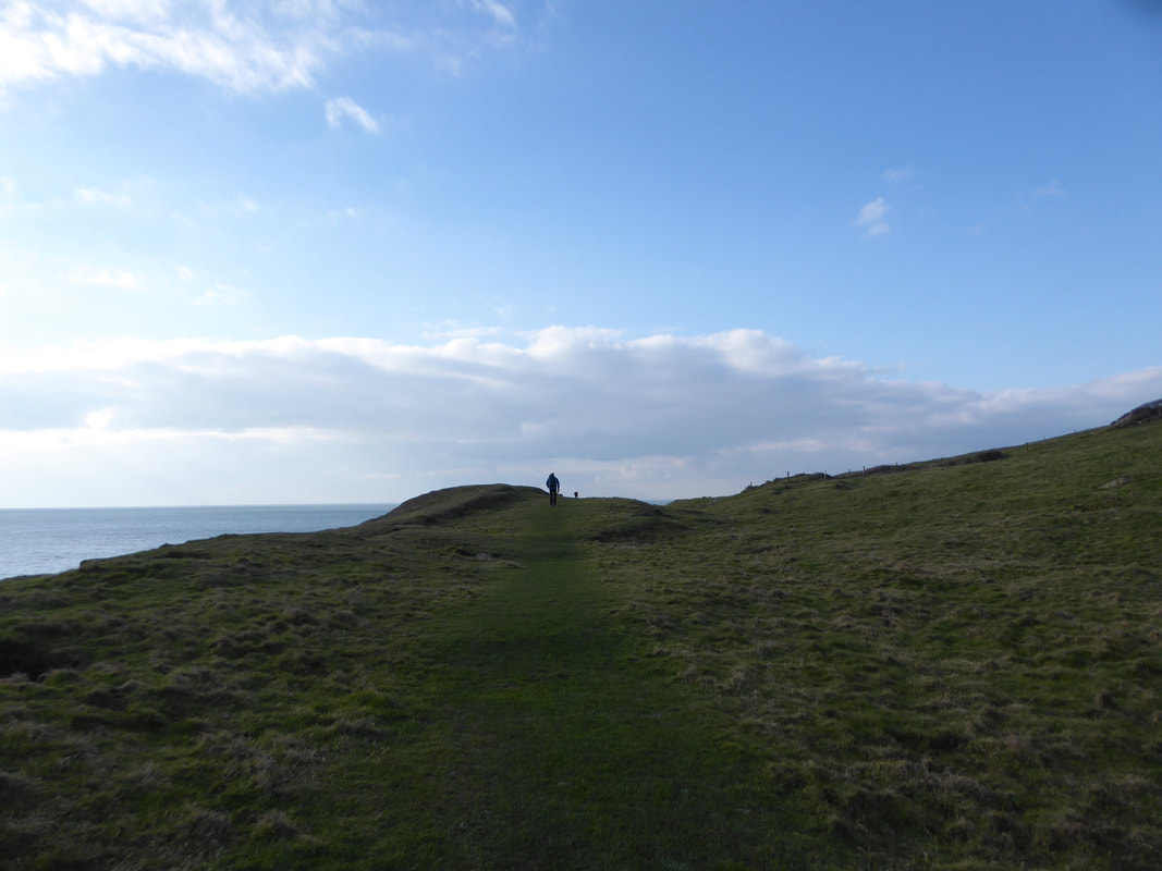
The route continues along the Niton Undercliff
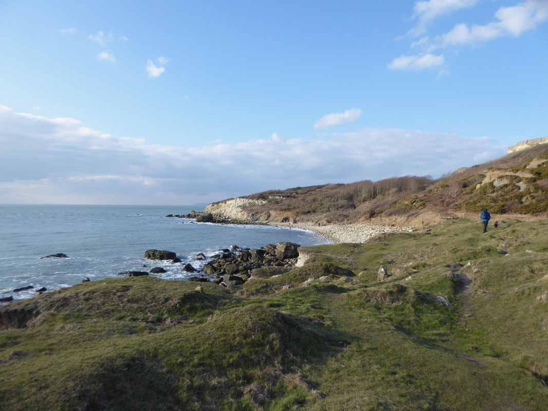
Reaching Watershoot Bay the route turns inland
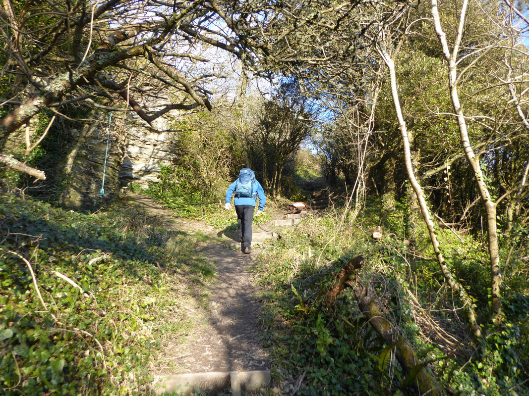
The ascent back up to the top of the cliffs is via a section of steep steps
Captions anyone??
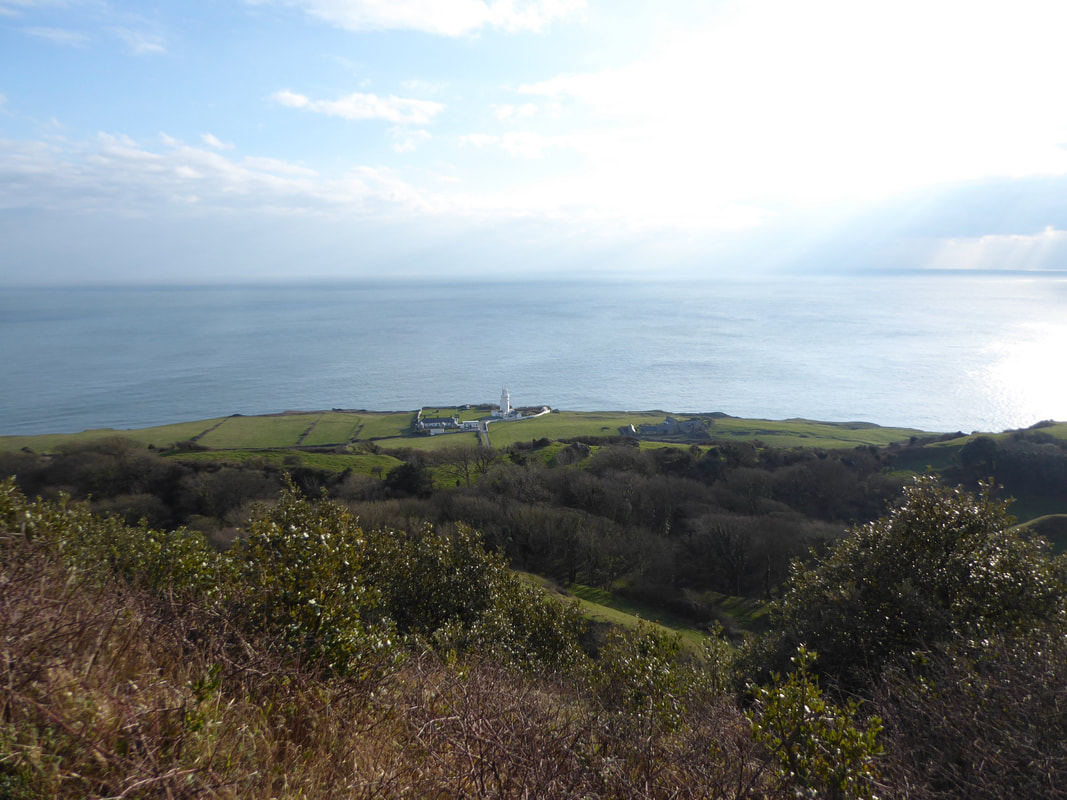
St Catherine's Point & the Lighthouse from the top of the cliffs
Fudge in contemplative mood as we head back to Blackgang