Grike, Crag Fell & Lank Rigg - Thursday 11 September 2014
Route
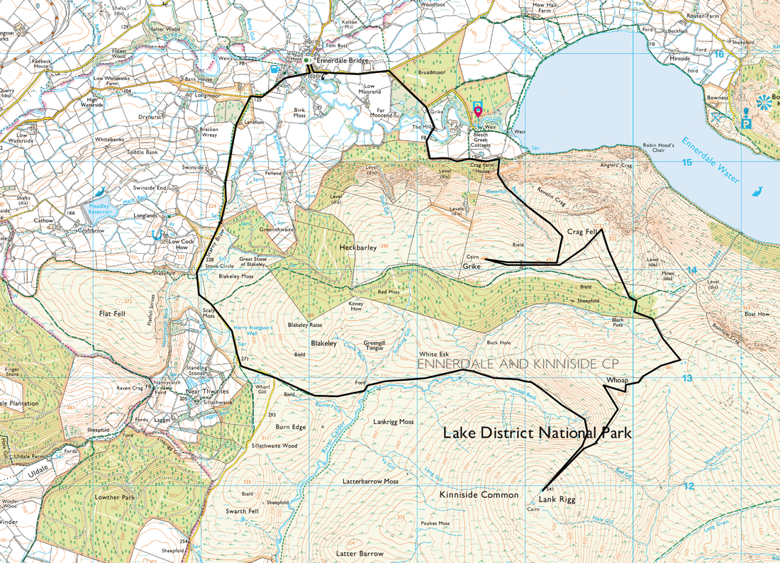
Ennerdale Bridge - Crag House Farm - Grike - Crag Fell - Whoap - Lank Rigg - Cold Fell Road - Scarny Brow -
Ennerdale Bridge
Parking
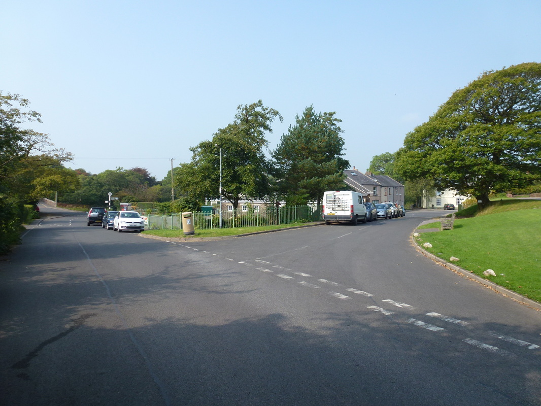
Plenty of roadside parking in Ennerdale Bridge
Mileage
11.3 miles
Terrain
Good mountain paths mainly. The section between Crag Fell and Whoap passes through felled forest and the path to the summit of Whoap is intermittent. There is a long but pleasant section of road walking along the Cold Fell Road to the finish.
Weather
Mainly overcast and hazy with some sunny spells.
Time Taken
5hrs 20mins
Total Ascent
3061ft (933m)
Map
OL4 - The English Lakes (North Western Area)
|
GPX File
|
| ||
If the above GPX file fails to download or presents itself as an XML file once downloaded then please feel free to contact me and I will send you the GPX file via e-mail.
Walk Description
Whilst Ennerdale is always a fair old drive out, it is such a beautiful and less frequented part of the Lake District. Todays walk took in three of the less visited fells, mainly because of their inaccessibility and fantastic remoteness. They are certainly worth a visit and give a wonderful sense of solitude when you are in their midst. As it happens we saw only 2 other walkers all day.
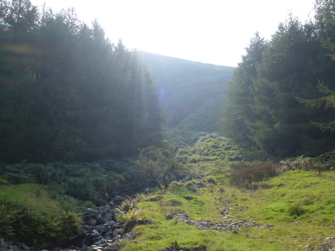
There is plenty of parking to be had in Ennerdale Bridge - we had last visited here in 2012 when we stopped in Rowrah on our Coast-to-Coast Walk. From the village the route heads out towards the lakeshore but turns right on a track up to Crag House Farm. Crossing a stile, the path heads through a plantation before turning up on a path alongside Ben Gill, slanting across the fell side in the direction of Crag Fell. Eventually Grike comes into view to the right and it is simply a question of following the fence to a stile and then walking along the ridge to Grike's summit.
Retracing steps back to the fence corner and stile, there is now an easy slope up to the summit of Crag Fell, which gives good views out over Ennerdale Water. Descending Crag Fell towards Whoap, the forest has recently been felled however the path through is still visible and leads to a stile where access is gained to the open fell. The path to Whoap is indistinct and it is best just to take a bearing on the summit and follow it.
From Whoap the path to Lank Rigg descends steeply to a col and then rises sharply to reach the trig point on the summit. Returning to the col, the route now sweeps left on a good path which curves below Whoap and heads west down to the River Calder and in a further half mile joins the Cold Fell Road which is followed for roughly 3 miles all the way back to Ennerdale Bridge.
Ennerdale Bridge - loads of parking here
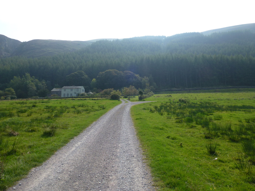
Crag House Farm
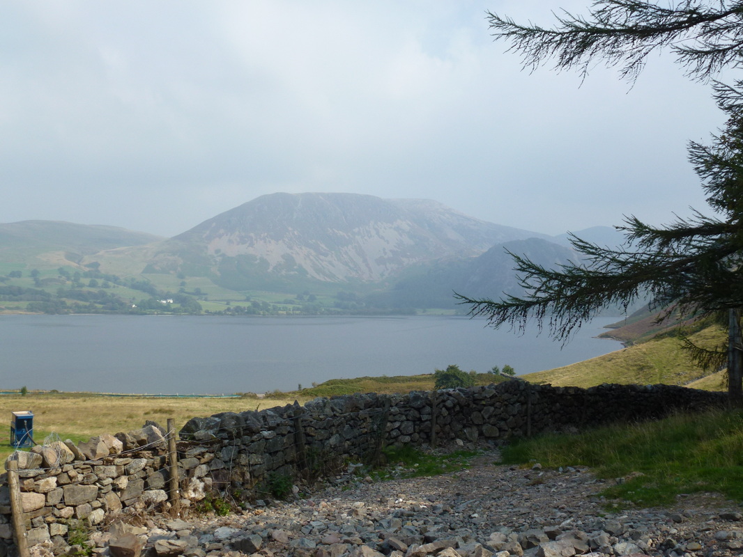
Great Borne across Ennerdale
The path heads up alongside Ben Gill
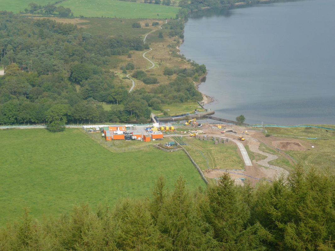
Looking down on the work being done to Ennerdale - it looks a mess and we hope they put it back properly
Crag Fell
Grike
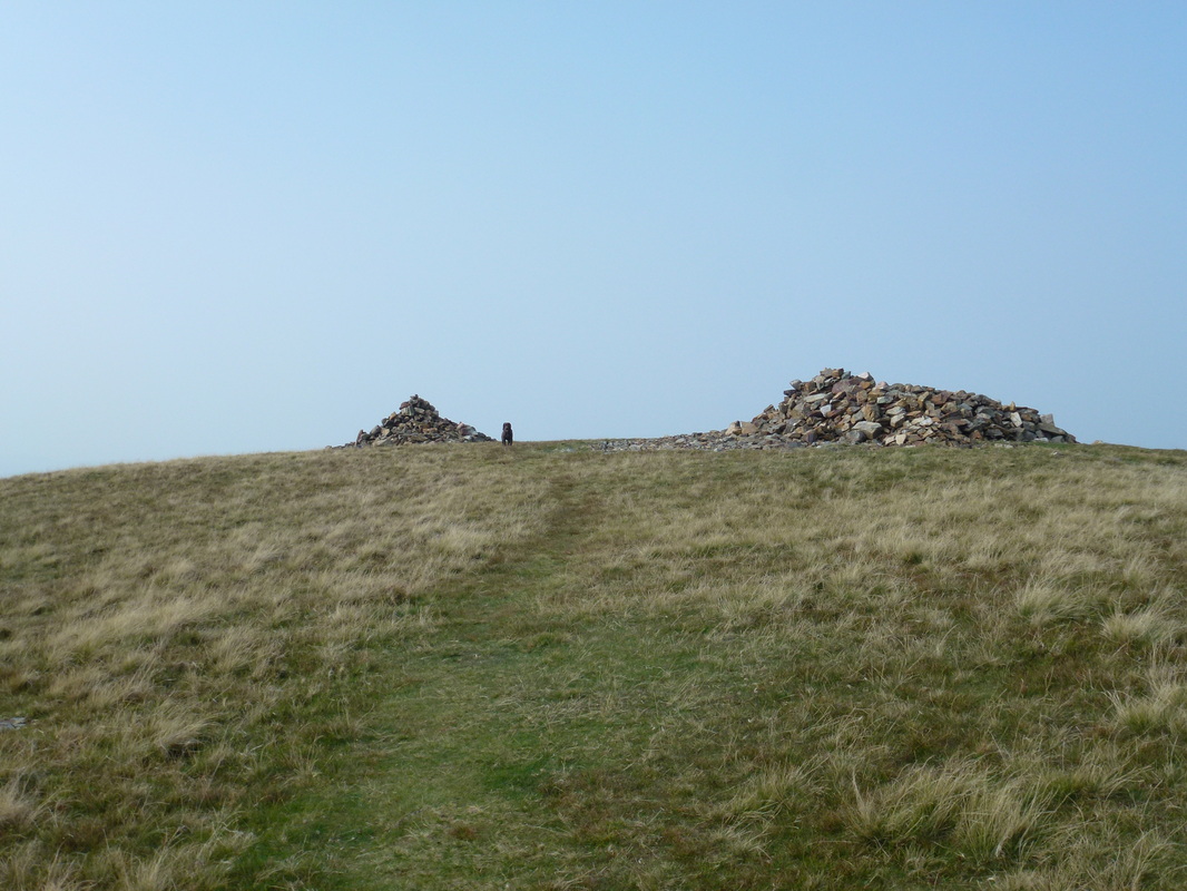
The summit of Grike
The summit shelter on Grike looking over to Crag Fell
Crag Fell
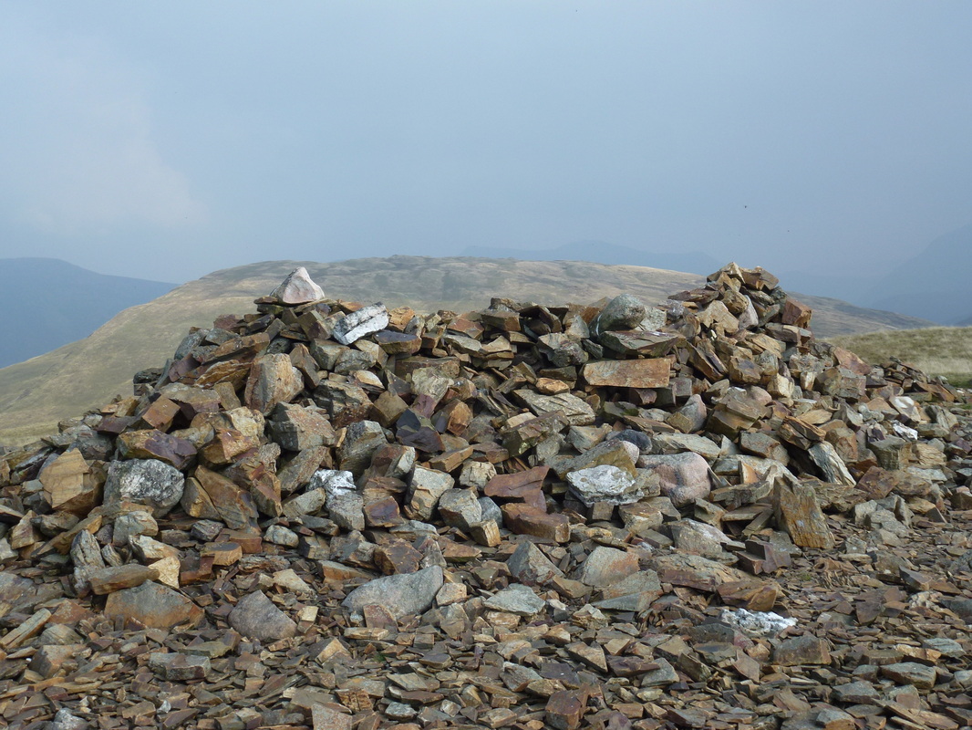
Summit Cairn on Crag Fell
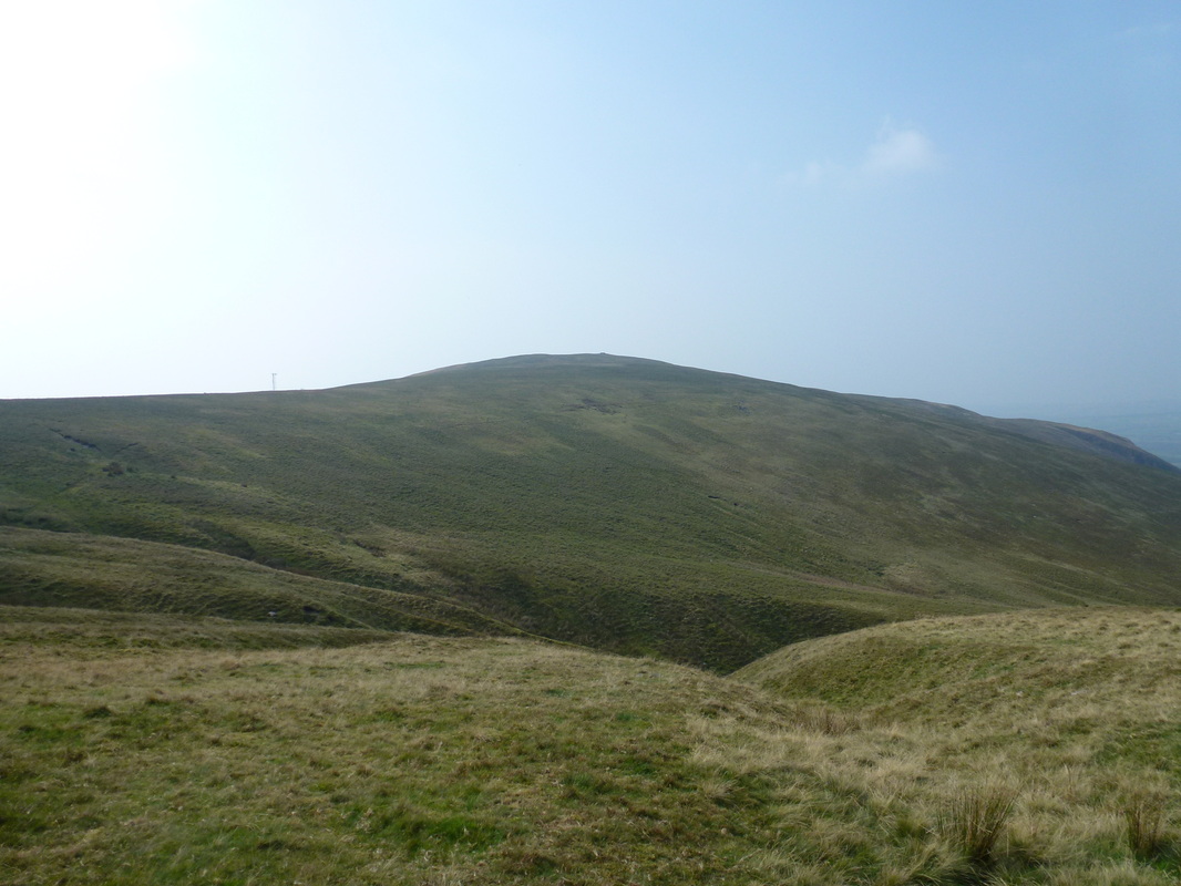
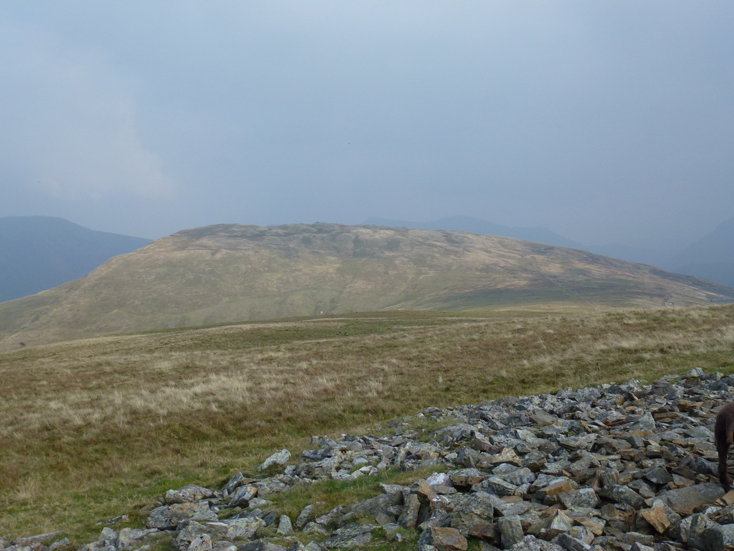
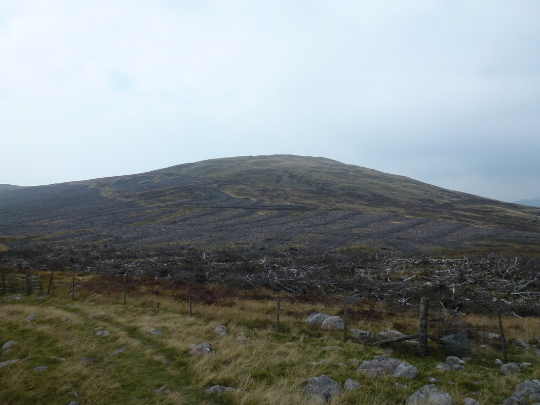
Crag Fell from the slopes of Whoap - there has been a fair bit of tree felling going on
Whoap summit with Great Borne to the rear
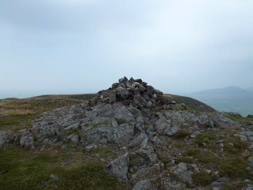
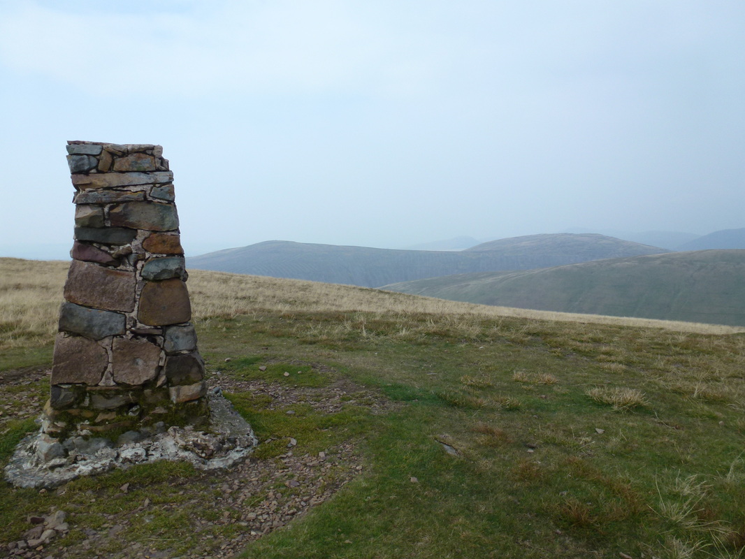
The summit of Lank Rigg
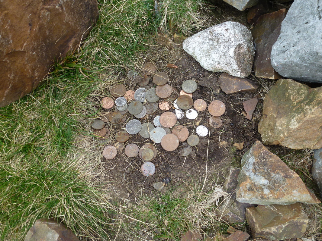
Wainwright left some money here many years ago -
people still do the same and we found this lot hidden under a large stone near the cairn
people still do the same and we found this lot hidden under a large stone near the cairn
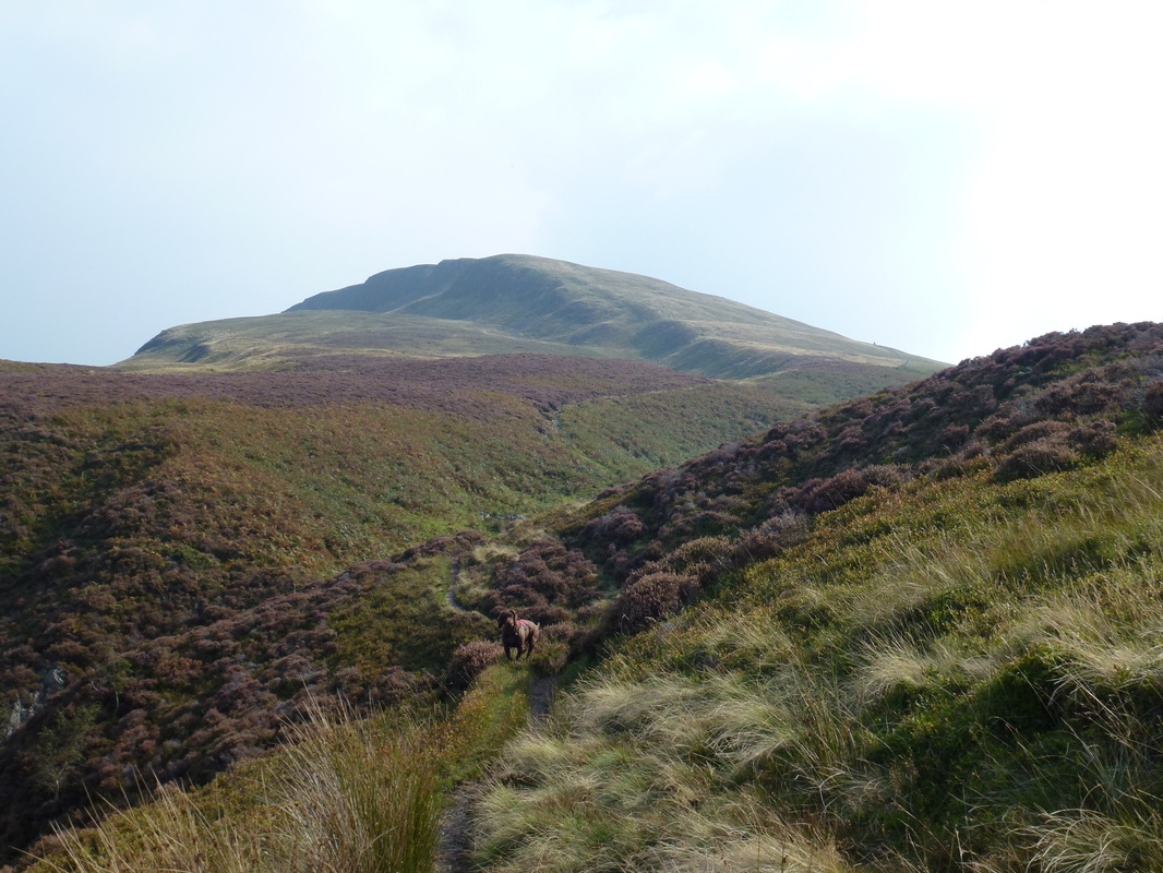
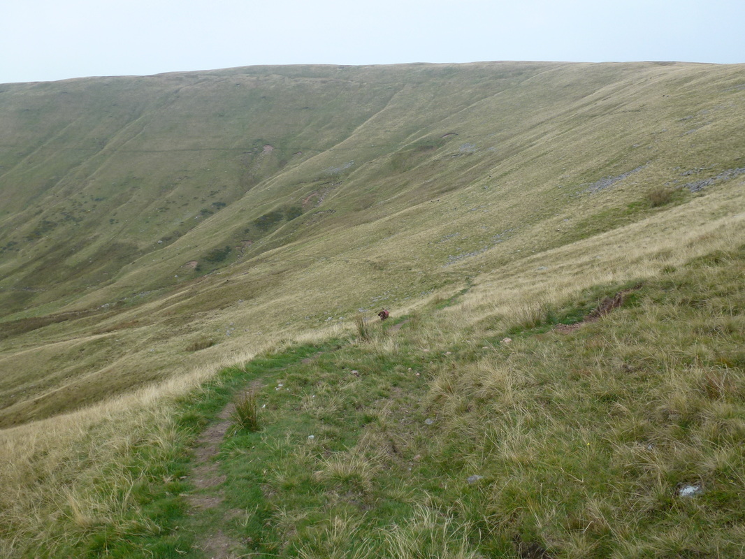
The path off Lank Rigg with Whoap ahead
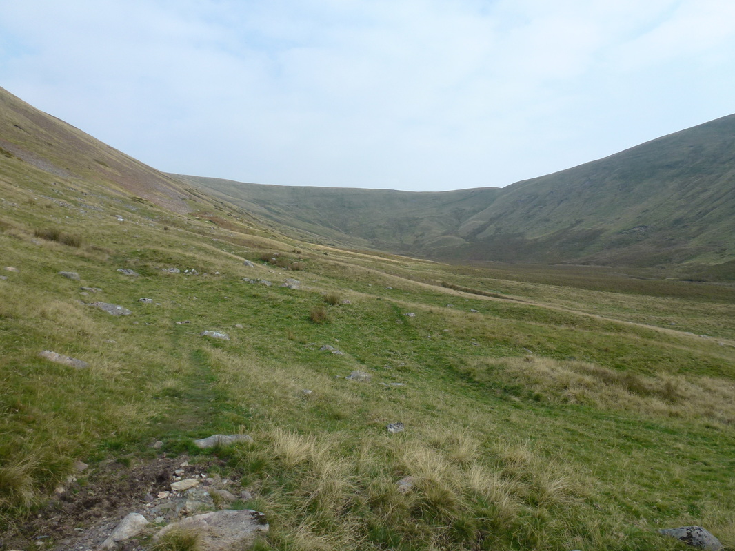
Looking back to the col near Lank Rigg
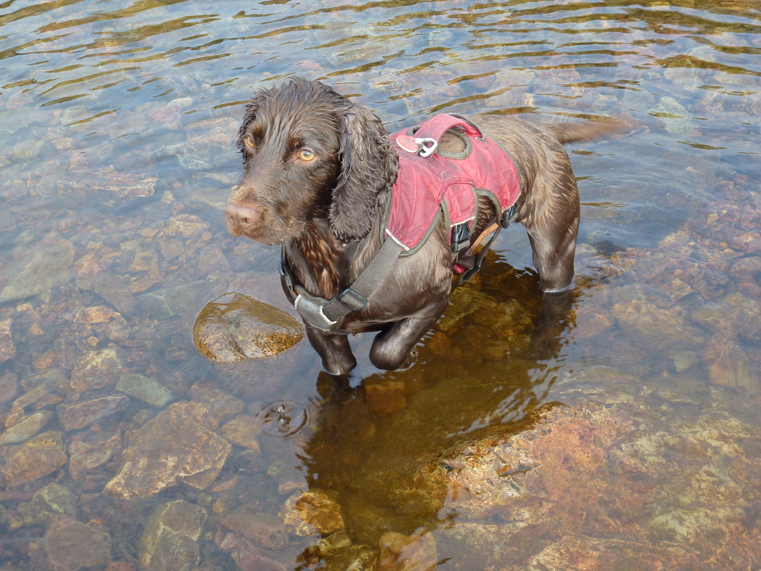
Fudge in the River Calder
"The Shepherds Arms? No mate - the Shepherds Arms is back that way"
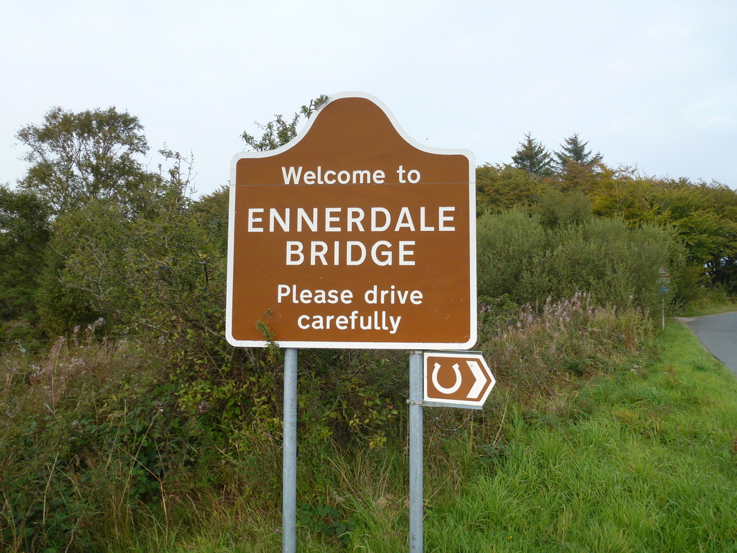
After a long road walk from the Cold Fell Road we were glad to see the sign for Ennerdale Bridge.
We were last at this sign on our Coast to Coast walk in June 2012
We were last at this sign on our Coast to Coast walk in June 2012
