Gray Crag, Thornthwaite Crag, Froswick & Ill Bell - Friday 21 January 2011
Route
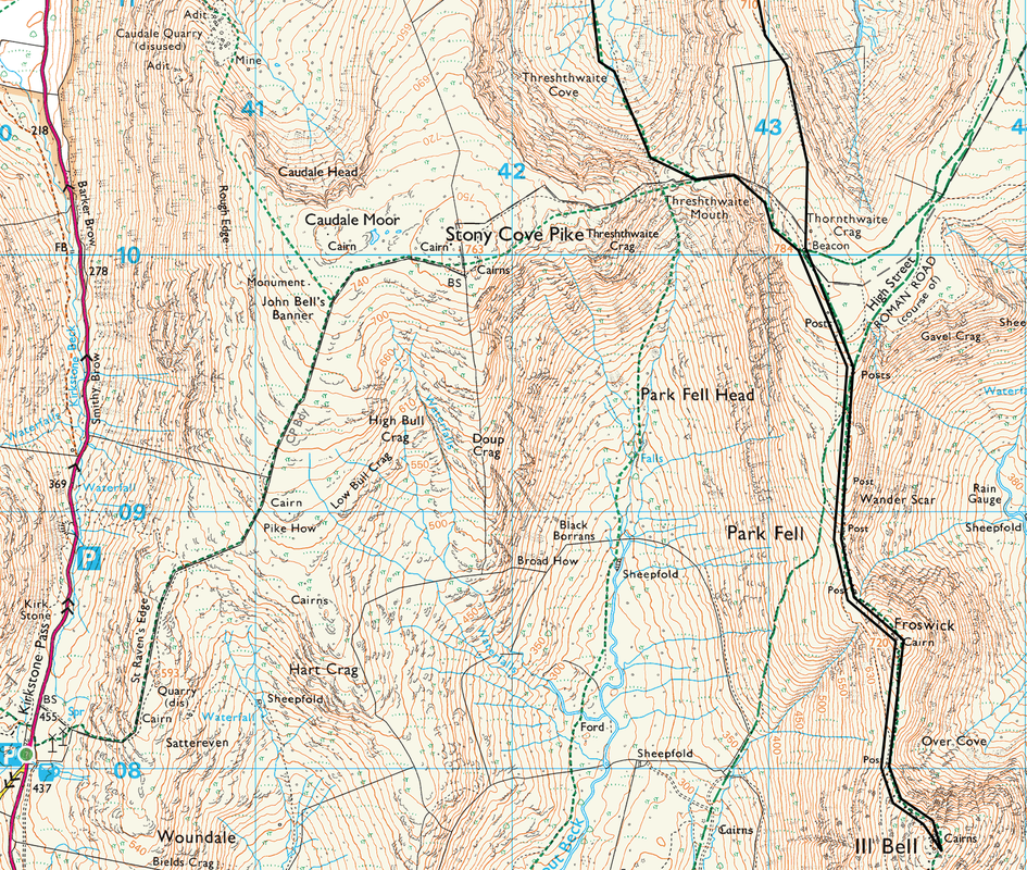
Hartsop - Gray Crag - Thornthwaite Crag - Froswick - Ill Bell - Froswick - Thornthwaite Crag - Threshthwaite Mouth - Pasture Bottom - Hartsop
Parking
Hartsop (Donation) - Grid Ref NY410131
Mileage
8.5 miles
Terrain
Good paths for the majority of the walk apart from the ascent of Gray Crag
Weather
Sunny, excellent visibility but extremely cold.
Time Taken
6hrs 45mins
Total Ascent
3379ft (1030m)
Wainwrights
4
Maps
OL5 - The English Lakes - North Eastern Area
OL7 - The English Lakes - South Eastern Area
|
GPX File
|
| ||
If the above GPX file fails to download or presents itself as an XML file once downloaded then please feel free to contact me and I will send you the GPX file via e-mail.
Walk Description
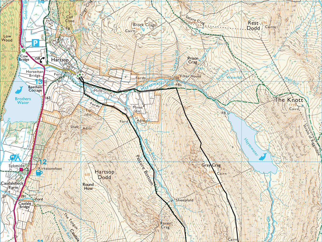
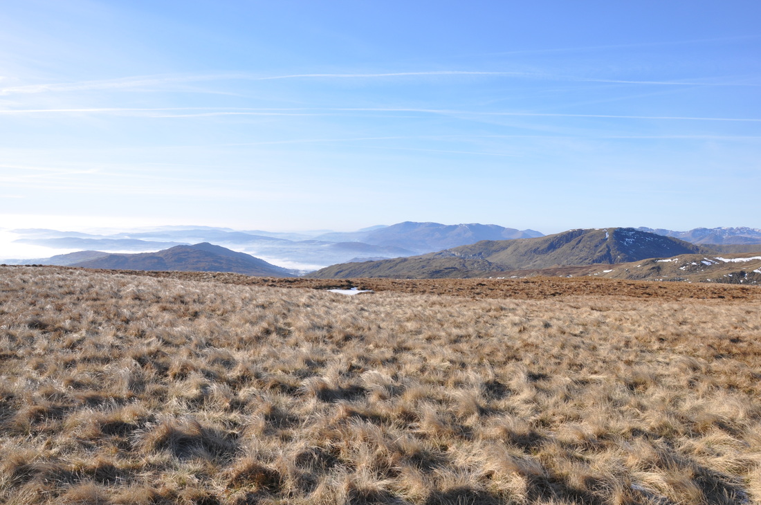
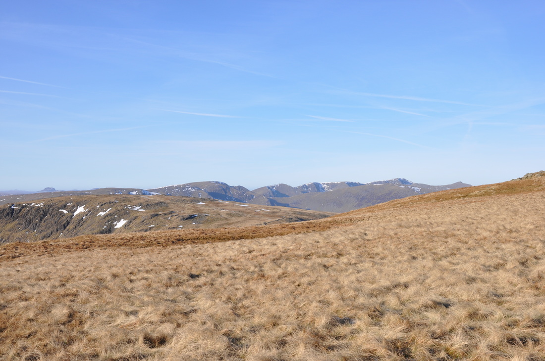
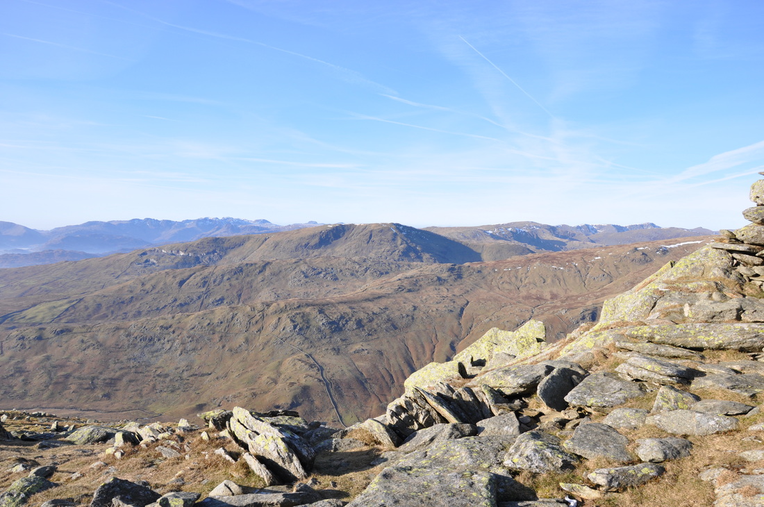
After a hideous few days with the weather we were blessed today with a dry cold day and good visibility for this walk. The walk begins in Hartsop where there is parking either in the village (voluntary charge) or at Cow Bridge just along the road to Patterdale. Leaving Hartsop we made our way along the old mine road and crossed Hayeswater Gill before turning right opposite the filter house to make the steep ascent up onto Gray Crag. The route up looks daunting and there is no getting away from it - it is steep but we rested often and were soon up on the flat, grassy expense of the fell and ultimately the Summit itself.
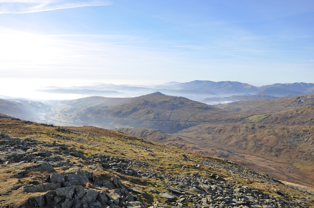
From Gray Grag there are superb views all around and we could already see the Beacon on Thornthwaite Crag and were soon on our second summit of the day. The ridge continues to Froswick and Ill Bell, the summits of which were in view throughout the walk over from Thornthwaite Crag. The intention was to try and get over to Yoke also but we would have run out of light therefore turned back at Ill Bell. Once back at Thornthwaite Crag we saw the only person we bumped into all day who was on his way over to High Street. From Thornthwaite, the path down to Threshthwaite Mouth is steep and loose but we were soon down at the bottom and then made the long but scenic trudge in down Pasture Bottom back to Hartsop.
From Gray Grag there are superb views all around and we could already see the Beacon on Thornthwaite Crag and were soon on our second summit of the day. The ridge continues to Froswick and Ill Bell, the summits of which were in view throughout the walk over from Thornthwaite Crag. The intention was to try and get over to Yoke also but we would have run out of light therefore turned back at Ill Bell. Once back at Thornthwaite Crag we saw the only person we bumped into all day who was on his way over to High Street. From Thornthwaite, the path down to Threshthwaite Mouth is steep and loose but we were soon down at the bottom and then made the long but scenic trudge in down Pasture Bottom back to Hartsop.
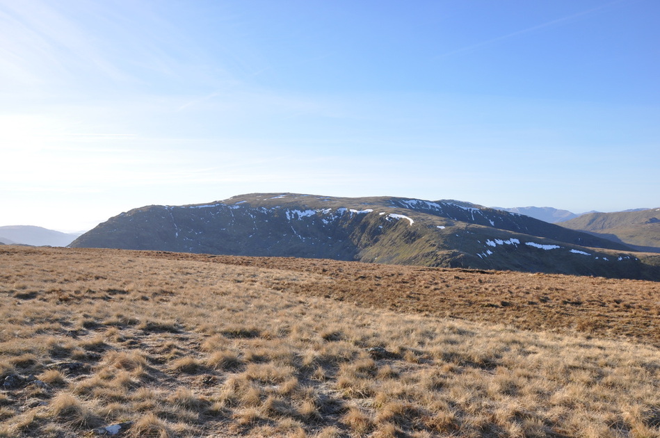
Caudale Moor from Gray Crag
The Helvellyn Range with Helvellyn in the centre
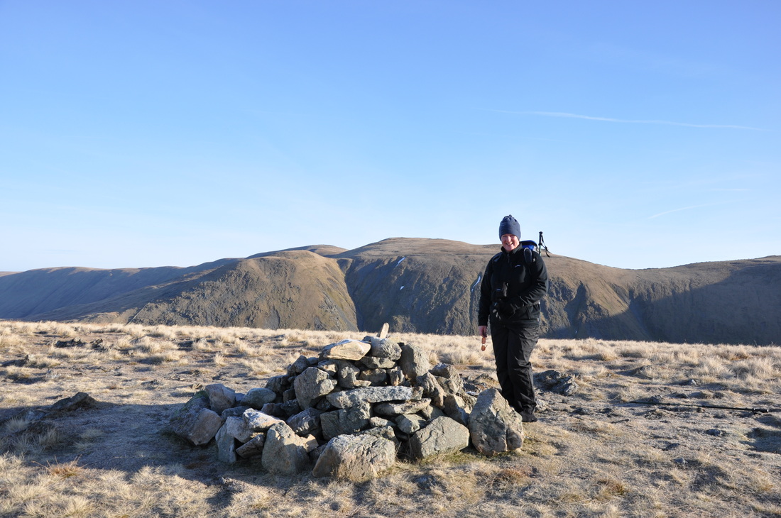
The Summit of Gray Crag with The Knott and Rampsgill Head behind
Wansfell and Red Screes
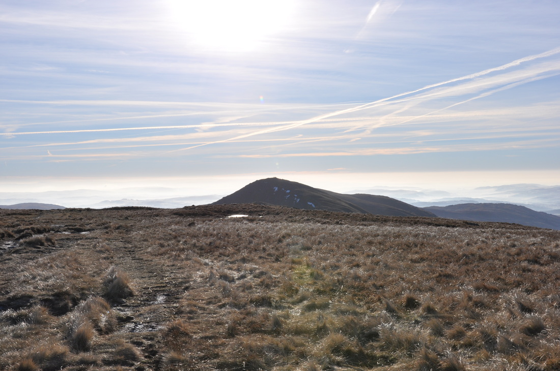
Ill Bell and Yoke
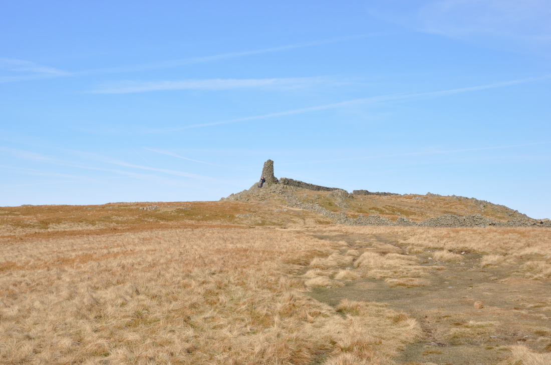
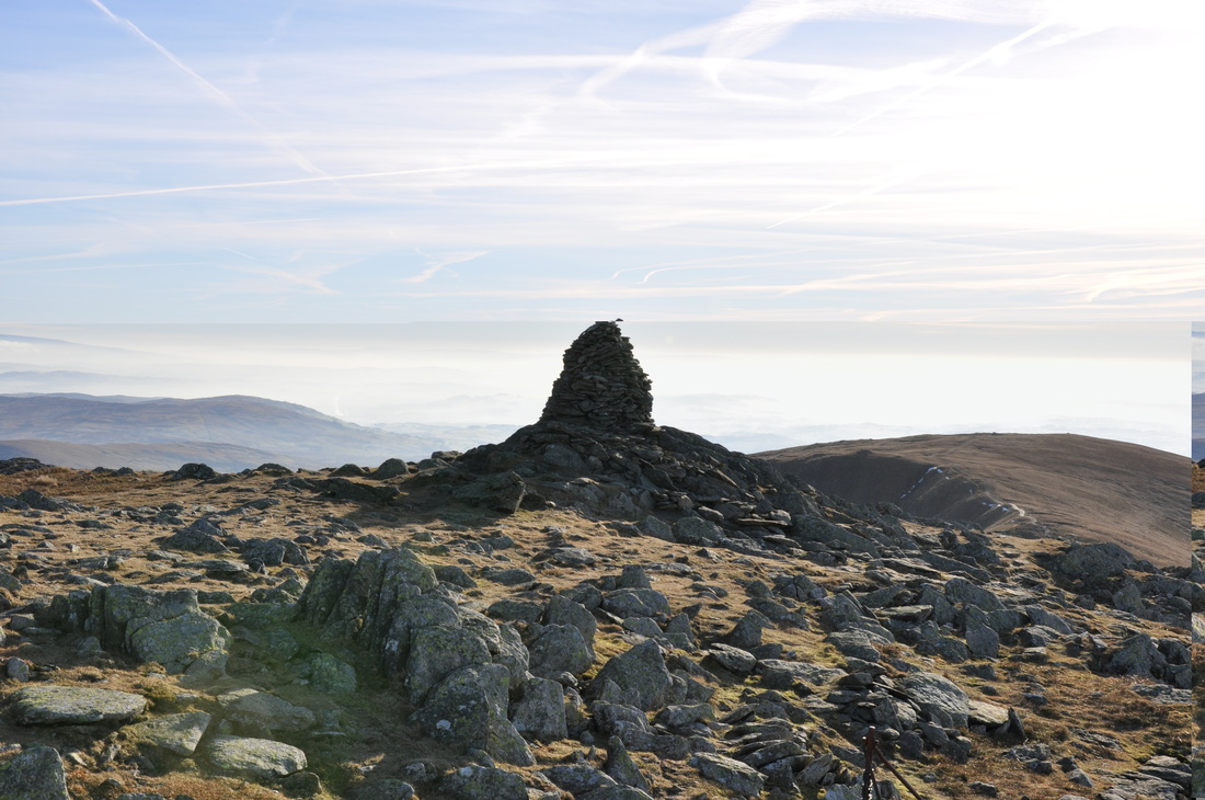
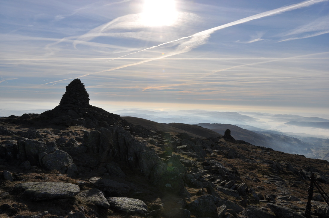
Thornthwaite Crag complete with solitary walker
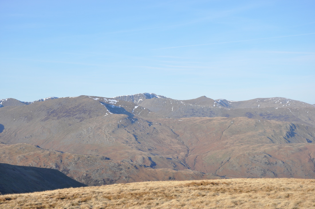
Helvellyn Range and Fairfield
Wansfell Pike
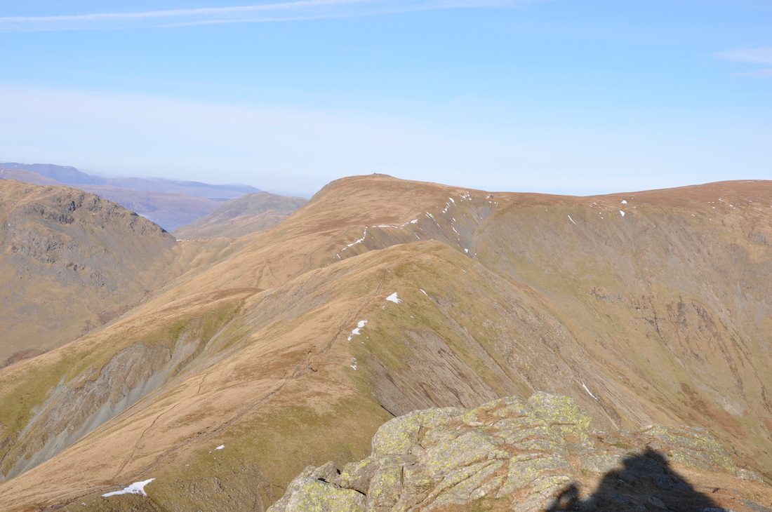
Froswick in the foreground and Thornthwaite Crag behind
Summit of Ill Bell
Red Screes and Caudale Moor
Summit of Ill Bell