Pennine Way Day 1 - Tuesday 9 June 2015
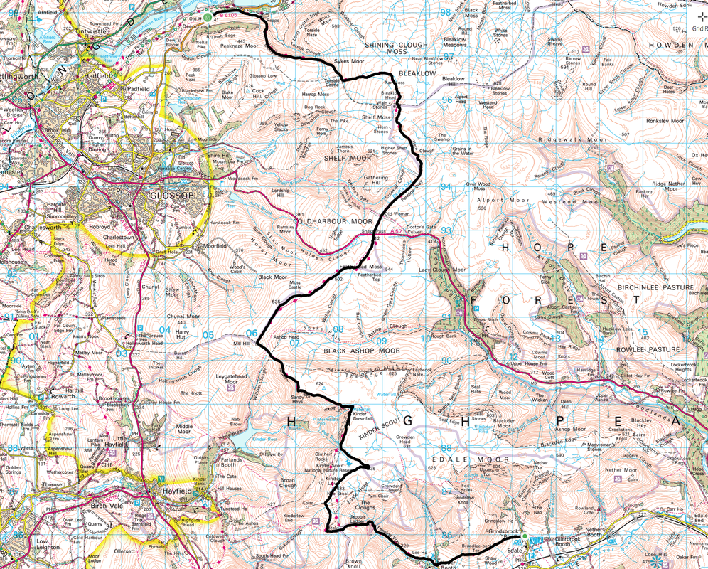
Edale to Torside (16.4 miles)
|
GPX File
|
| ||
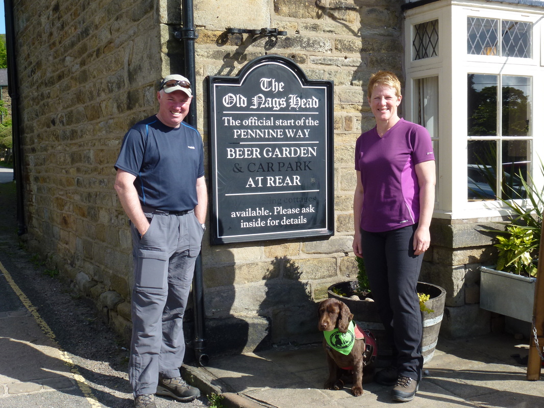
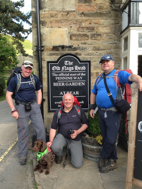
The day dawned sunny & bright which was a good omen for us. We were staying in Torside which is normally a stop off at the end of Day 1 but as we could find no dog friendly accommodation in Edale we arranged a two-night stay at The Old House. Therefore after a hearty full English, Jim at Torside kindly drove us out to Edale in order to start the walk. We would not be alone today. We had arranged to meet two friends, one of which (Howie) would walk with us as far as Kinder Downfall and another (Chips) who would accompany us for the first two days. It was really good of these guys to start off with us and we thoroughly enjoyed their company. On completion of the usual pre start photographs it was time to get on our way and begin what we hoped would be an enjoyable and incident free 3 week walk up the backbone of England - in this the 50th year since the trail opened in 1965.
It had been a year in the planning and we were all ready to go
Dave, Fudge, Howie & Chips at the start in Edale
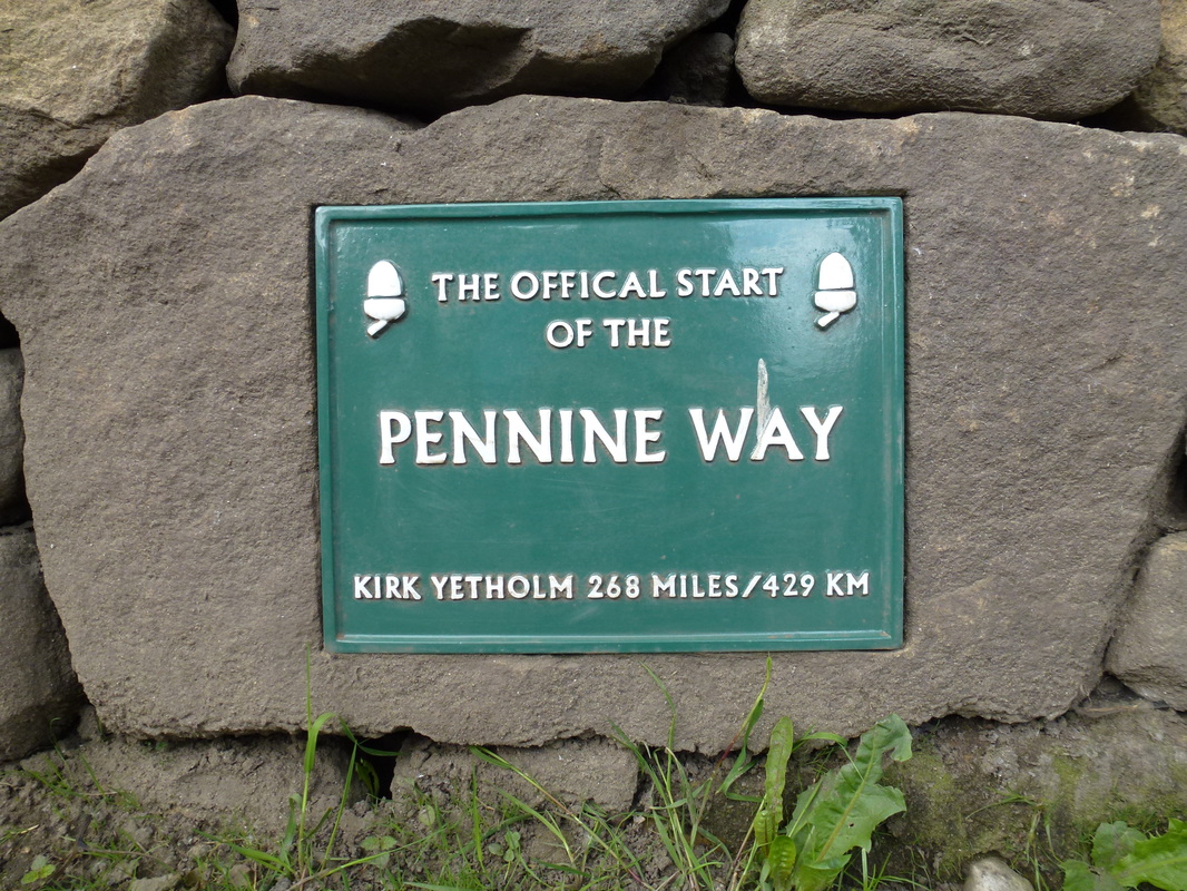
Ours was more like 286 due to having to go off route at various times to find dog friendly accommodation
Can you spot the spelling error? Who on earth proof-read the sign before it was cast??
Can you spot the spelling error? Who on earth proof-read the sign before it was cast??
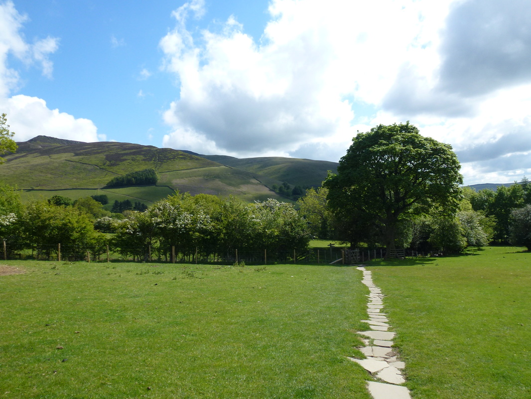
A nice gentle start across the field from Edale to Upper Booth
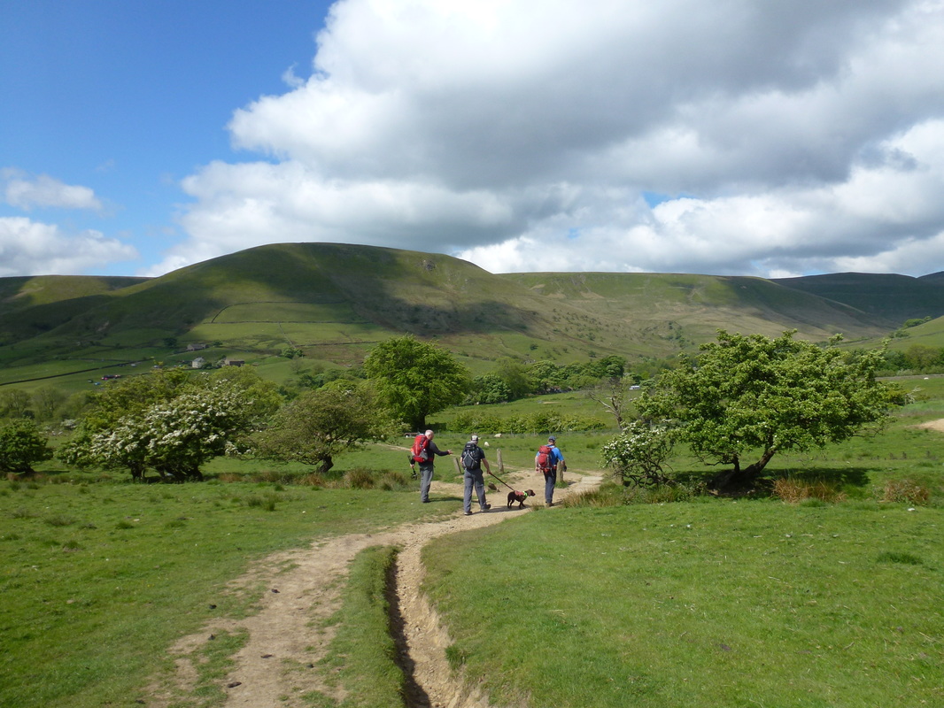
Starting any long distance walk is always better when the weather is set fair and we were blessed today - sunny spells mixed in with some overcast periods. Leaving Edale the walk headed through fields to reach the tiny hamlet of Upper Booth. From here there was a gentle walk along a level track to reach the foot of Jacob's Ladder.
The weather was looking good as we headed for Upper Booth
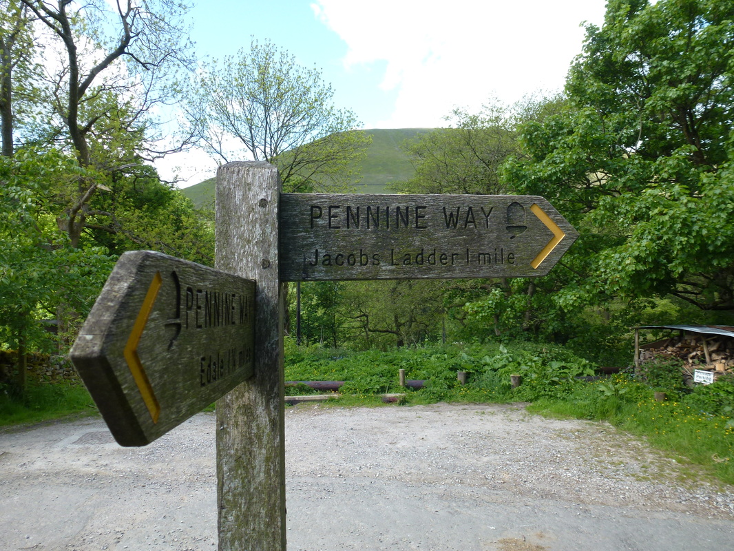
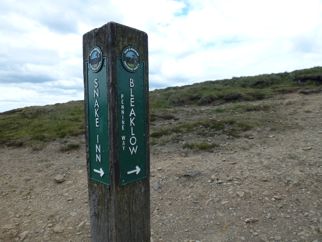
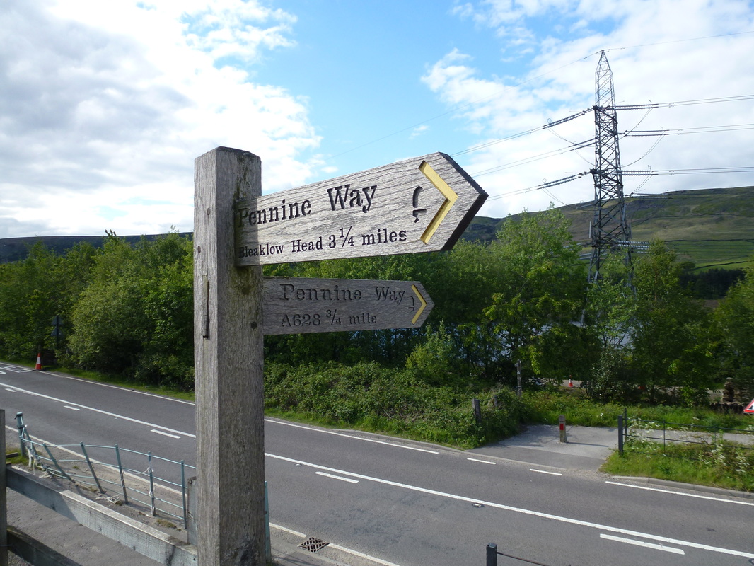
The Pennine Way signposting on the entire walk was excellent
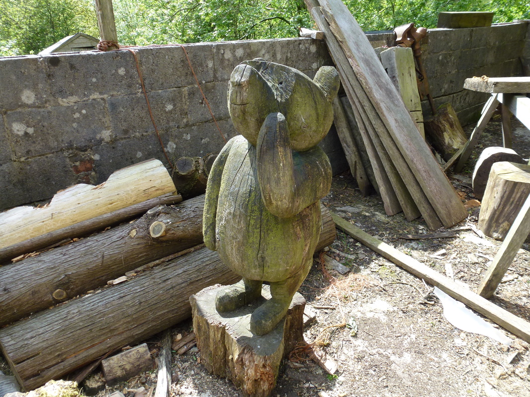
Winnie the Pooh was not looking well
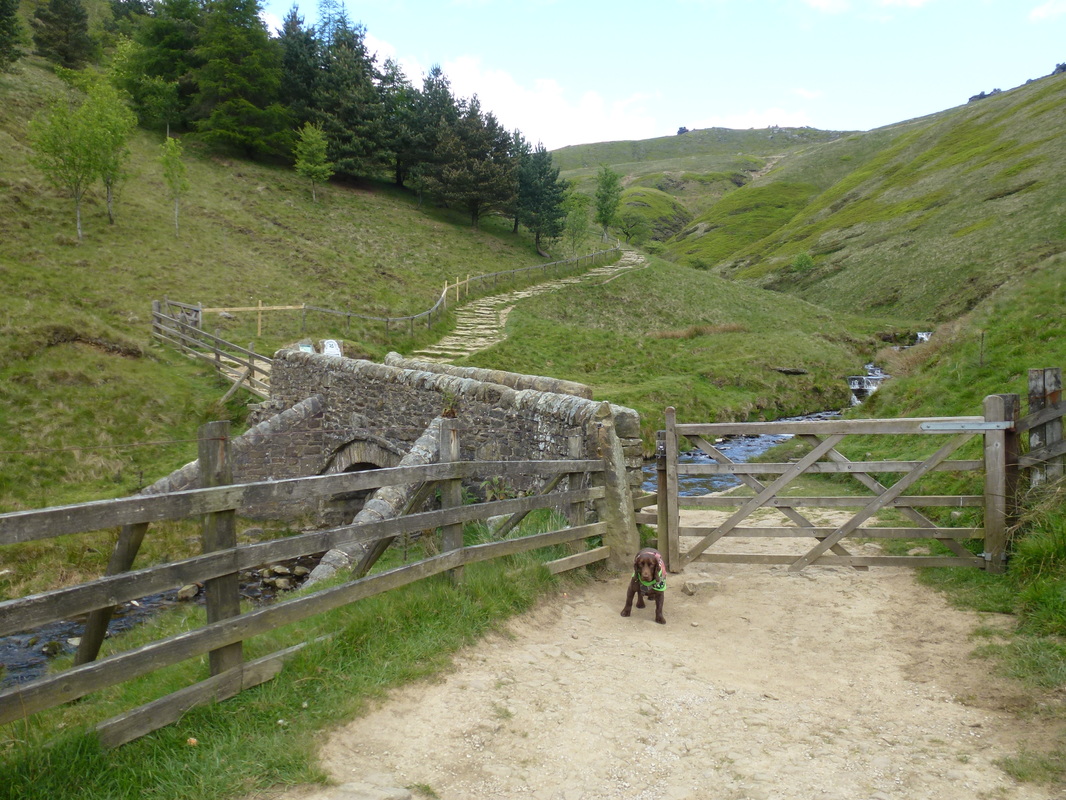
Fudge in his "have it" pose at the bottom of Jacob's Ladder
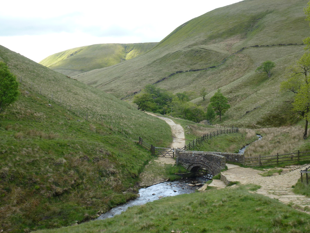
Looking back to the bridge over the River Now at the start of Jacob's Ladder
The Pennine Way crossed the packhorse bridge and headed uphill steeply along Jacob's Ladder. In the late 18th century a man called Jacob Marshall occupied Edale Head Farm, the ruins of which are just up from the bridge along a track heading west. He kept a small enclosure for packhorses to graze in and is credited with constructing the steep direct path up the hillside to give the Jaggers a respite while their horses took the longer zigzag route – hence the Jacob's Ladder name.
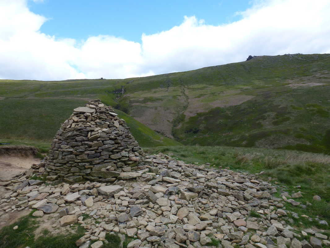
The massive Cairn at the top of Jacob's Ladder with Pym Chair to the right
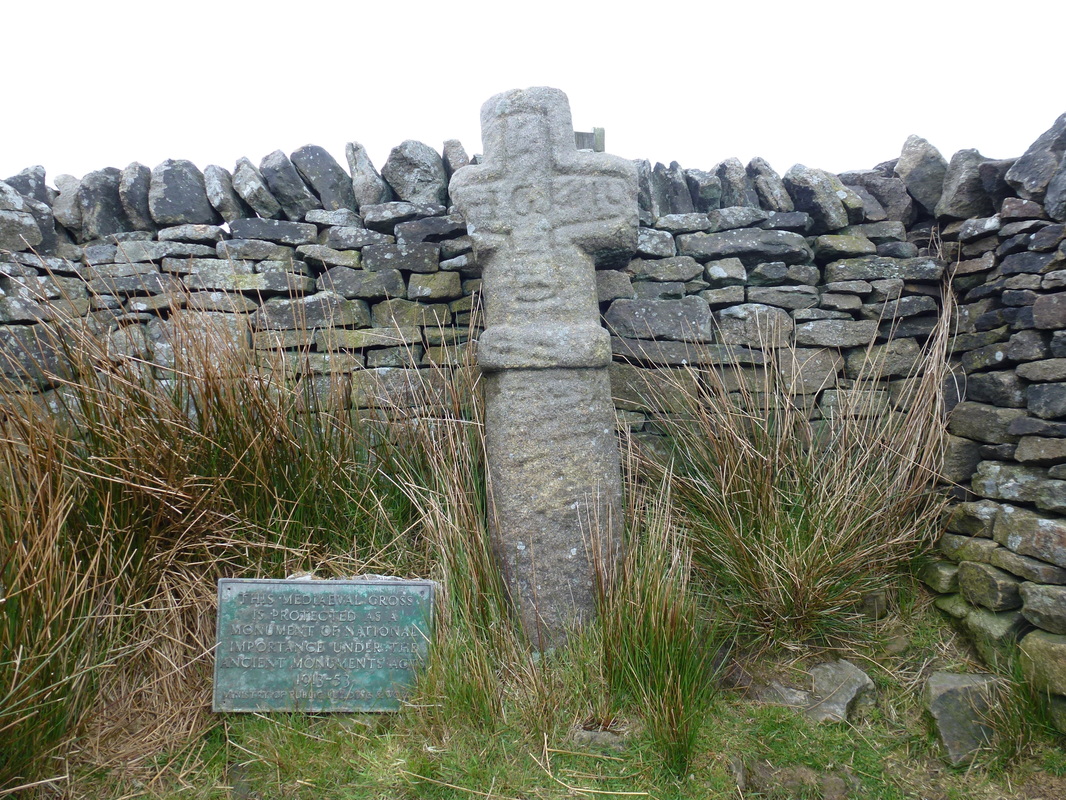
Edale Cross just below Kinder Low
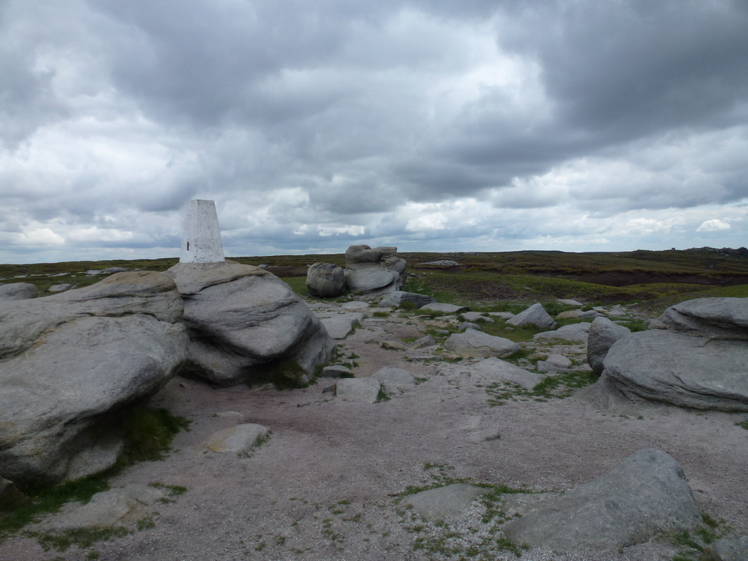
At the top of Jacob's Ladder we made a slight detour to visit Edale Cross. The cross is made from local gritstone and is believed to be medieval in date and was probably erected by the Cistercian monks of Basingwerk Abbey at the southern boundary of land which they received from Henry II in 1157. The cross was thrown down from its original position and its base and part of the shaft are missing. It was found buried in peat by local farmers who re-erected it and carved their initials onto the front with the date 1810. From the cross there was a short uphill transit to Kinder Low and its Trig Point sat atop a gritstone rock. Leaving the Trig Point we then made our second detour of the day over peaty ground to visit the highest point on Kinder Scout (636m). Like most people, we thought that the summit of Kinder Scout was the Trig Point on Kinder Low but this is not the case - it is a tuft of tussocky grass near a cairn at a spot height of 636m.
The summit of Kinder Low
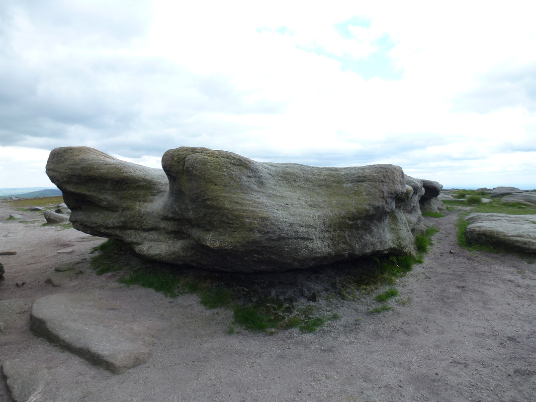
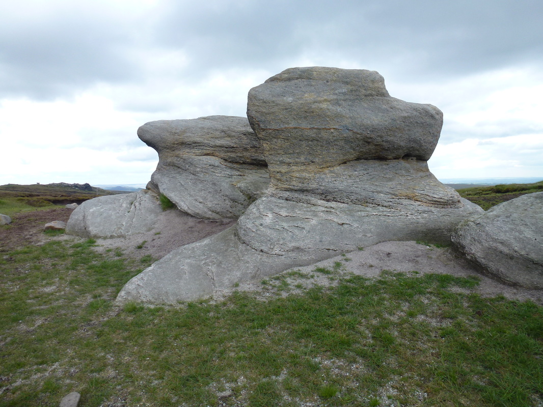
Weathered Gritstone rocks on Kinder Low
Beautiful
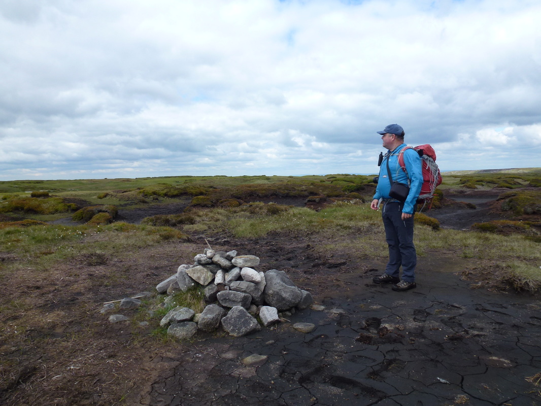
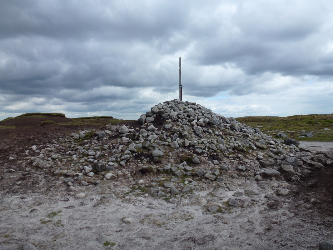
Chips at the Cairn on the summit plateau of Kinder Scout - the official summit is one of the many tufts of grass on the plateau.
Our GPS read 636 metres therefore we were happy we were at the summit
Our GPS read 636 metres therefore we were happy we were at the summit
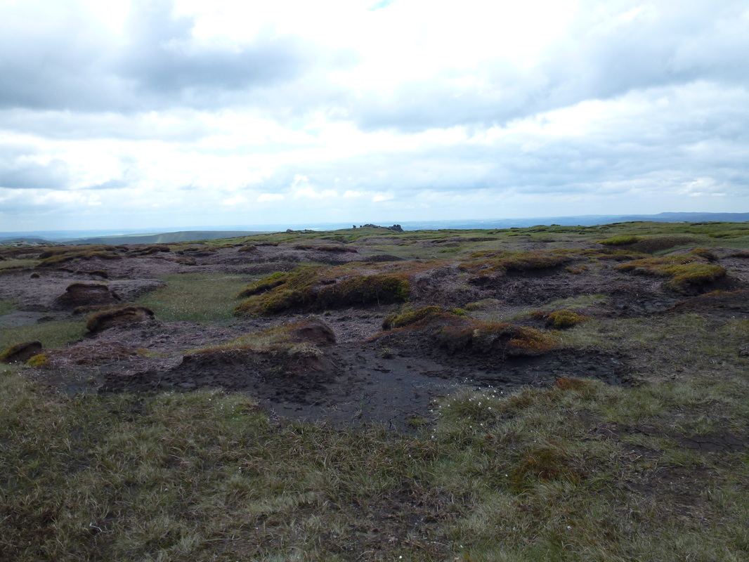
The summit plateau of Kinder Scout - not much to look at but it is such a synonymous place for hill walkers
The Kinder Scout Mass Trespass
In April 1932 a mass trespass by ramblers took place here to highlight the fact that walkers in England and Wales were denied access to areas of open country. The trespass began at Bowden Bridge quarry near Hayfield and proceeded via William Clough to the plateau of Kinder Scout where there were violent scuffles with gamekeepers. The ramblers were able to reach their destination and meet with another group. On the return, five ramblers were arrested, with another detained earlier. This act of civil disobedience was one of the most successful in British history and arguably led to the passing of the National Parks legislation in 1949 and subsequently allowing Long Distance Trails such as The Pennine Way to be established. Walkers' rights to travel through common land and open country were protected by the Countryside Rights of Way Act being passed in 2000. Though controversial when it occurred, the 1932 Trespass has been interpreted as the embodiment of "the working class struggle for the right to roam versus the rights of the wealthy to have exclusive use of moorlands to shoot grouse". We have a lot to be thankful for.
In April 1932 a mass trespass by ramblers took place here to highlight the fact that walkers in England and Wales were denied access to areas of open country. The trespass began at Bowden Bridge quarry near Hayfield and proceeded via William Clough to the plateau of Kinder Scout where there were violent scuffles with gamekeepers. The ramblers were able to reach their destination and meet with another group. On the return, five ramblers were arrested, with another detained earlier. This act of civil disobedience was one of the most successful in British history and arguably led to the passing of the National Parks legislation in 1949 and subsequently allowing Long Distance Trails such as The Pennine Way to be established. Walkers' rights to travel through common land and open country were protected by the Countryside Rights of Way Act being passed in 2000. Though controversial when it occurred, the 1932 Trespass has been interpreted as the embodiment of "the working class struggle for the right to roam versus the rights of the wealthy to have exclusive use of moorlands to shoot grouse". We have a lot to be thankful for.
Back a bit dear
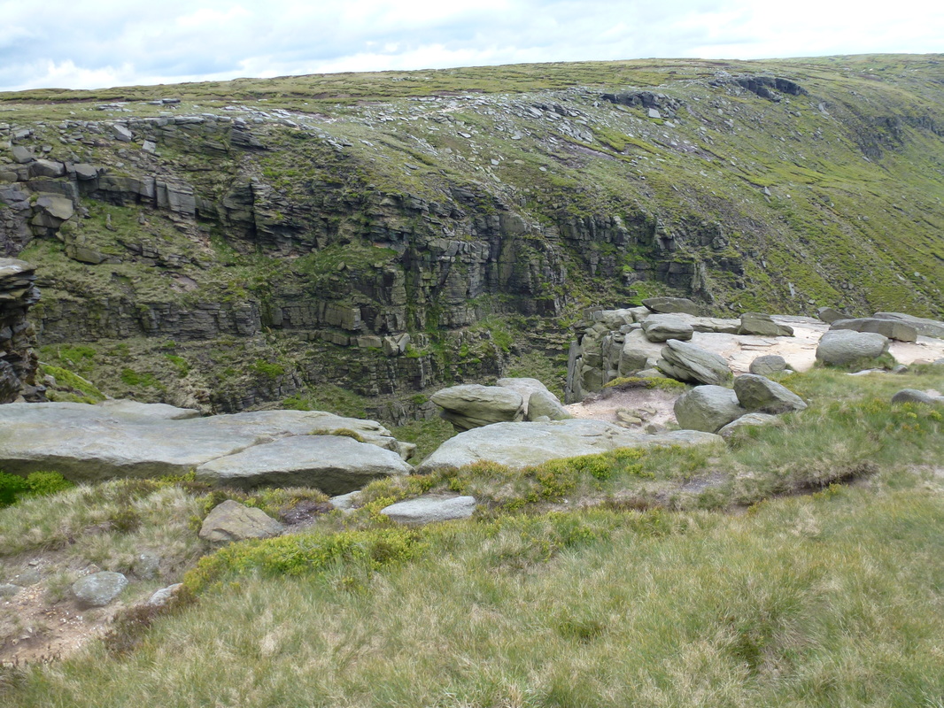
Leaving Kinder Scout we rejoined the Pennine Way to transit along a superb high level path to reach Kinder Downfall before saying goodbye to Howie who was heading back to Edale. From the Downfall we were now going over new ground for us as we made the drop down to a col before an ascent to the summit of Mill Hill. It is worthy of note that throughout the Pennine Way, the waymarking was spot on. Whilst we carried the relevant OS Mapping for the day plus a compass, we were relying on both the excellent waymarking and the Stedman Guide (link here) for navigation and this proved to be sufficient for virtually the entire walk. In addition to the Stedman, we carried a GPS as a back up just in case and to record our data.
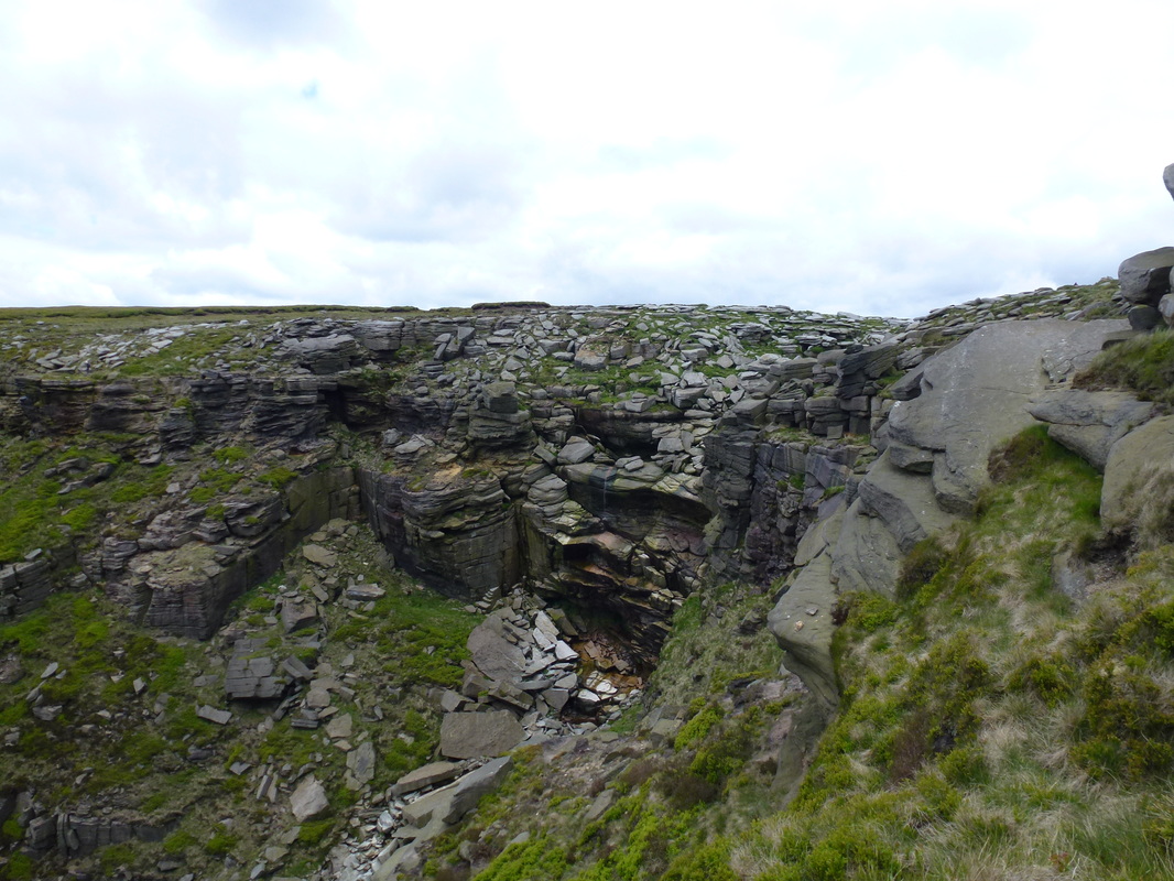
Kinder Downfall - not much water pouring out today, just a trickle
Looking back to our route from Kinder Scout - Howie is over there somewhere making his way back to Edale
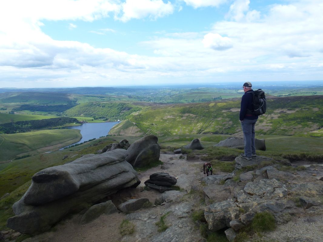
Looking over to Kinder Reservoir - well someone is
3 miles to The Snake Inn - we weren't that thirsty!
The summit of Mill Hill
From Mill Hill there was now an easy and fairly level route over Featherbed Moss on a much welcomed slabbed path - thankfully the slabs were in place or the transit over would have been very different. Apparently the slabs were purloined from demolished cotton mills and put to good use over this notoriously boggy mass. It is fair to say that despite the slabs this was a bit of a trudge over seemingly endless moorland but we had good weather and were therefore not complaining. We finally reached the A57 which was very quiet as luckily it was closed for roadworks. We crossed over to reach Doctor's Gate and the sunken lane of the Devil's Dyke which rose gently to reach Alport Low and subsequently arrived at the large expanse of rock, peat and grassy hummocks that is Bleaklow Head.
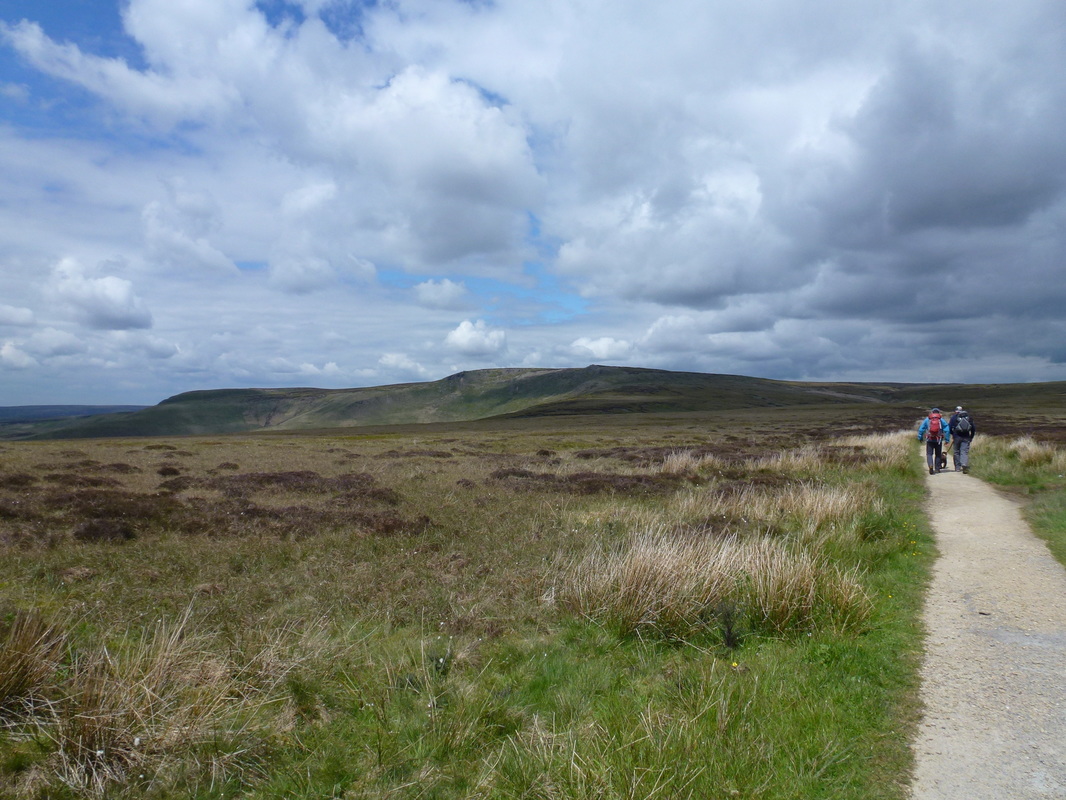
The long path to Bleaklow Head
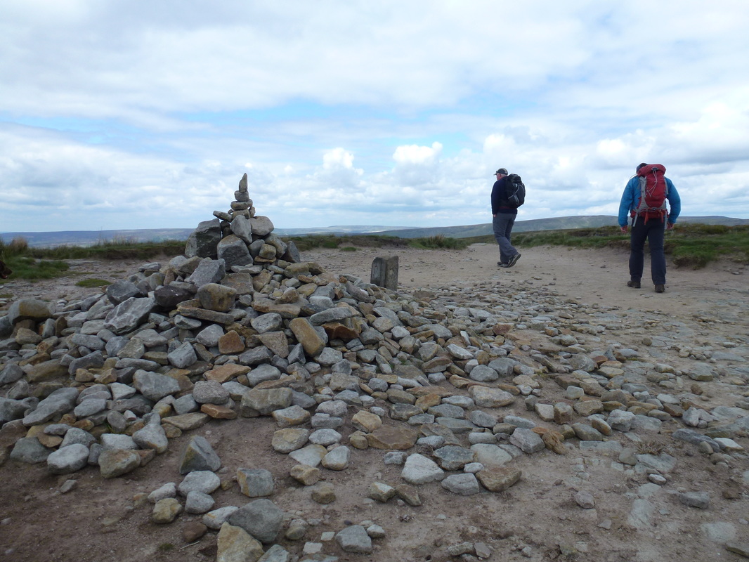
The summit of Bleaklow Head
On a day of poor visibility Bleaklow can be a confusing place however today was clear and therefore the way off the hill was readily apparent - we simply followed the stone way marker which is beside the cairn near the summit. From here there are several paths and fences that could confuse walkers in mist therefore it would be best to be right on the nav at all times if the clag was down - no such issues for us today thankfully and we were able to enjoy the superb 3 mile walk, firstly alongside Wildboar Grain and then the high level escarpment trek along Clough Edge. The latter gave us superb views down to Longendale and the Reservoirs beneath and we then descended gradually to Reaps Farm to join the track taking us to the B6105. From here we headed about half a mile left to reach The Old House and our digs for the night.
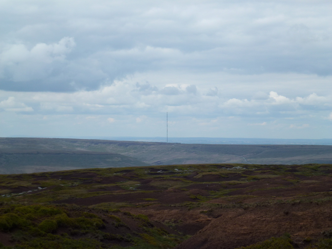
Holme Moss TV Mast - we would pass quite close to this on Day 2
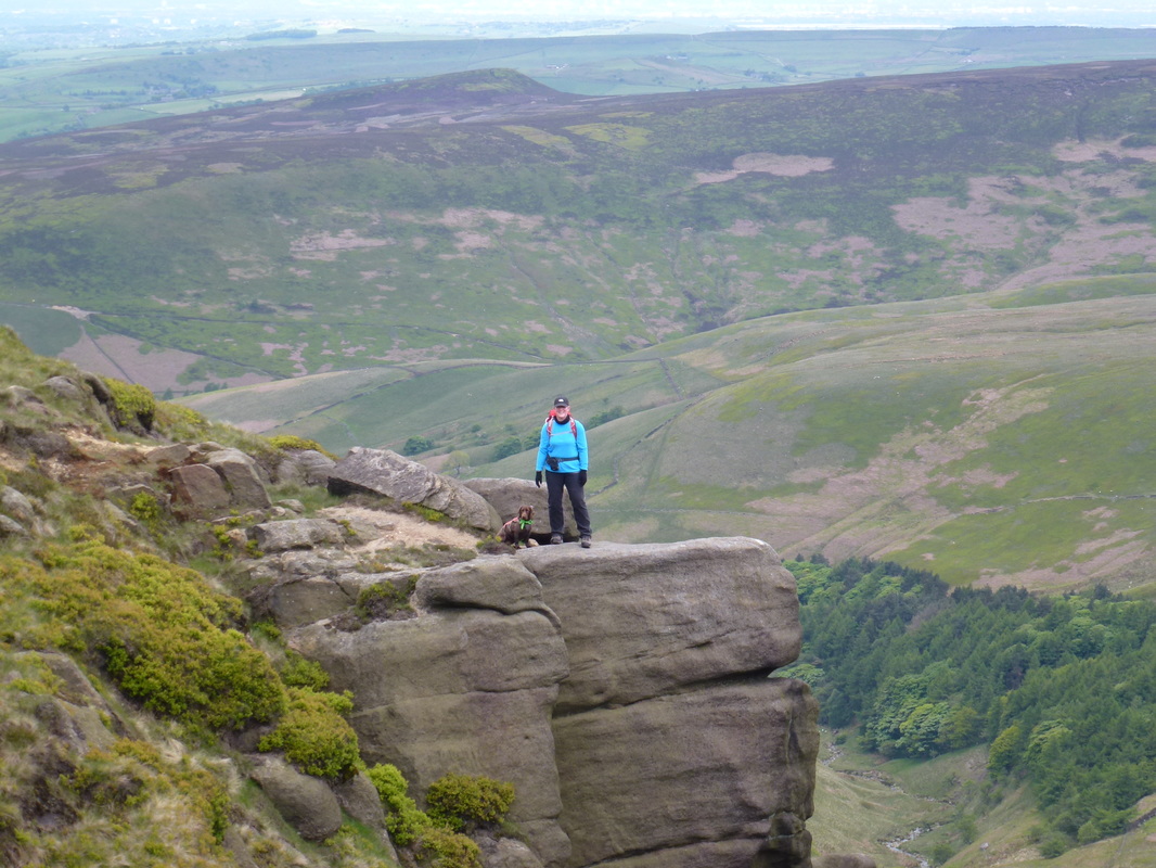
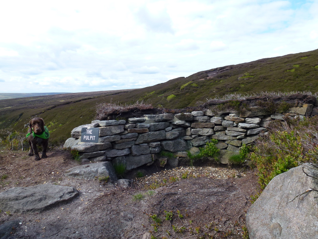
The Pulpit overlooking Torside Clough
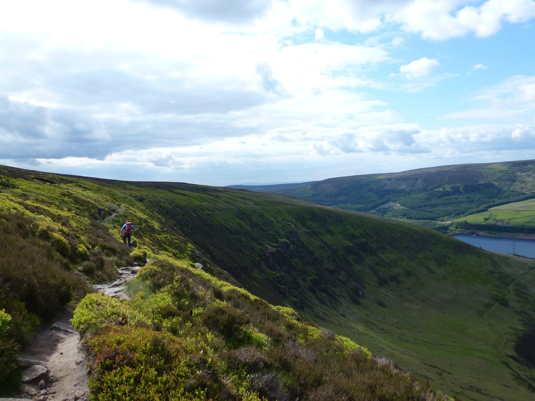
Torside Clough and Reservoir
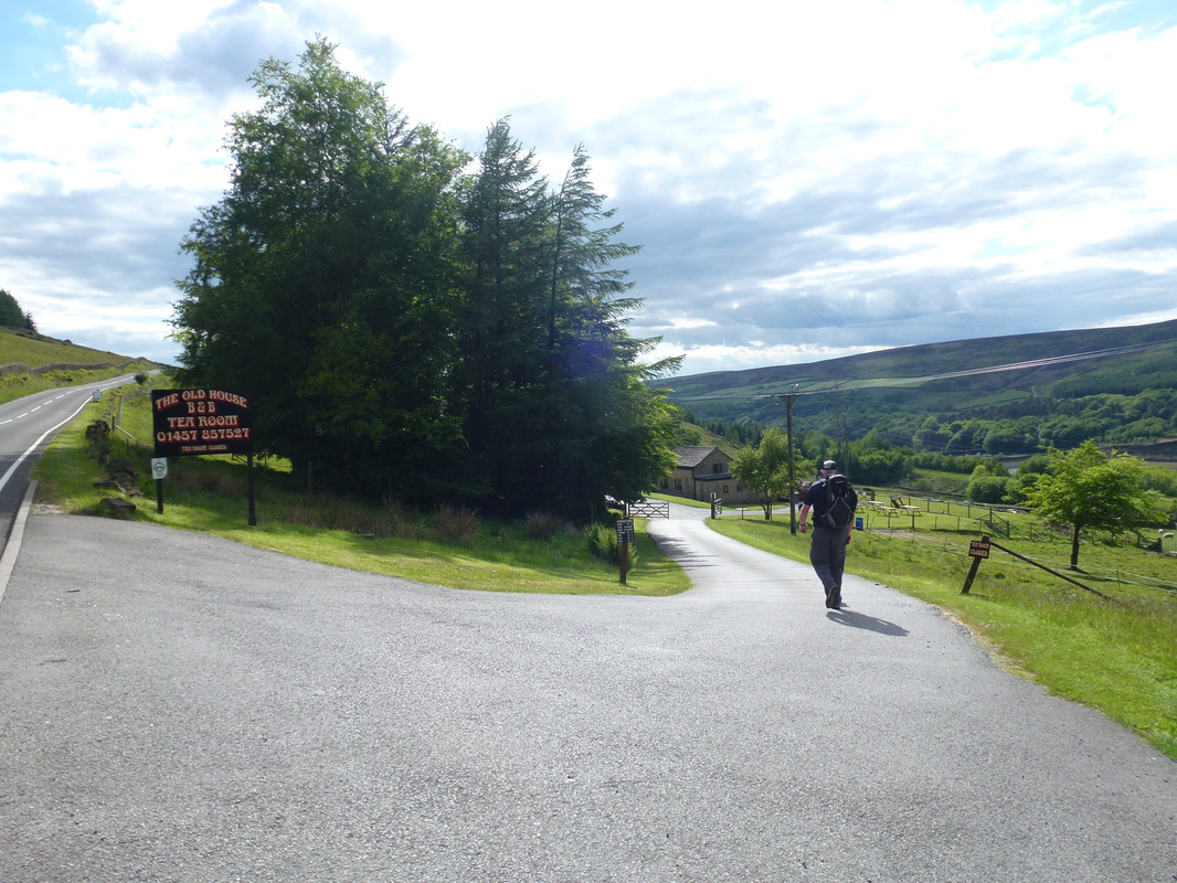
The route reaches the B6105 - we headed left about half a mile to our B&B but would walk back here tomorrow
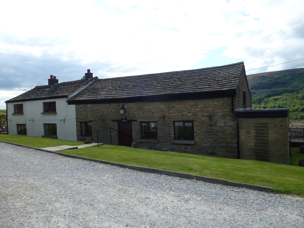
Back at The Old House after a great first day
Following a spruce up we adjourned the mile or so into Padfield to dine at The Peels Arms - good beer and food to be had here. This had been a great start to the walk - we had good weather, the forecast for the next few days was looking good and our feet were in good nick. If today was the sign of things to come then we were in for a fantastic 3 weeks.
Overnight Accommodation
The Old House, Torside - http://www.oldhouse.torside.co.uk
We took advantage of a two night stay here. They provide an early breakfast and a drop off service to Edale. The B&B is about half a mile off route and was a very pleasant place to stay. Both nights we ate very well at The Peels Arms in Padfield, a 5 minute drive away.
We took advantage of a two night stay here. They provide an early breakfast and a drop off service to Edale. The B&B is about half a mile off route and was a very pleasant place to stay. Both nights we ate very well at The Peels Arms in Padfield, a 5 minute drive away.
Day 1 Data - taken from SATMAP Active 10 Plus
|
Mileage
Cumulative Mileage Time Cumulative Time Maximum Ascent Total Ascent Cumulative Ascent |
16.4 miles
16.4 miles 7 hrs 43 min 7 hrs 43 min 2099 feet 2913 feet 2913 feet |
