Great Mell Fell, Little Mell Fell & Gowbarrow Fell - Tuesday 3 December 2019
Route
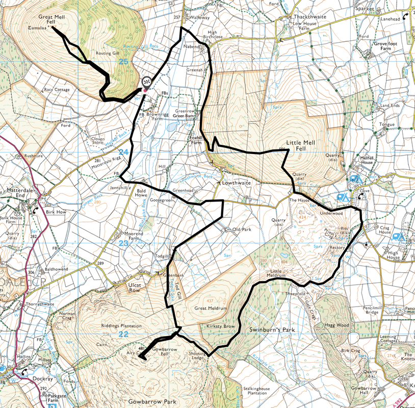
Brownrigg Farm - Great Mell Fell - Brownrigg Farm - Nabend - Green Barn - Little Mell Fell - The Hause - Swinburns Park - Gowbarrow Fell - Ulcat Row - Brownrigg Farm
Parking
Verge parking a short distance north of Brownrigg Farm (Free) where there is room for about 6 cars - Grid Ref NY 4073 2469. The nearest postcode is CA11 0SB. The walk can also be started from two other points - either below Little Mell Fell at The Hause or near Watermillock Church.
Mileage
11 miles
Terrain
Grassy farm tracks & low level stony paths. In order to link these 3 fells up there is a fair amount of road walking but this is along very quiet lanes and we saw little traffic.
Weather
Sunny yet cold.
Time Taken
6hrs 30mins
Total Ascent
3031ft (924m)
Wainwrights
3
Map
OL5 - The English Lakes (North Eastern Area)
Walkers
Dave, Angie & Fudge
|
GPX File
|
| ||
If the above GPX file fails to download or presents itself as an XML file once downloaded then please feel free to contact me and I will send you the GPX file via e-mail.
Route Map
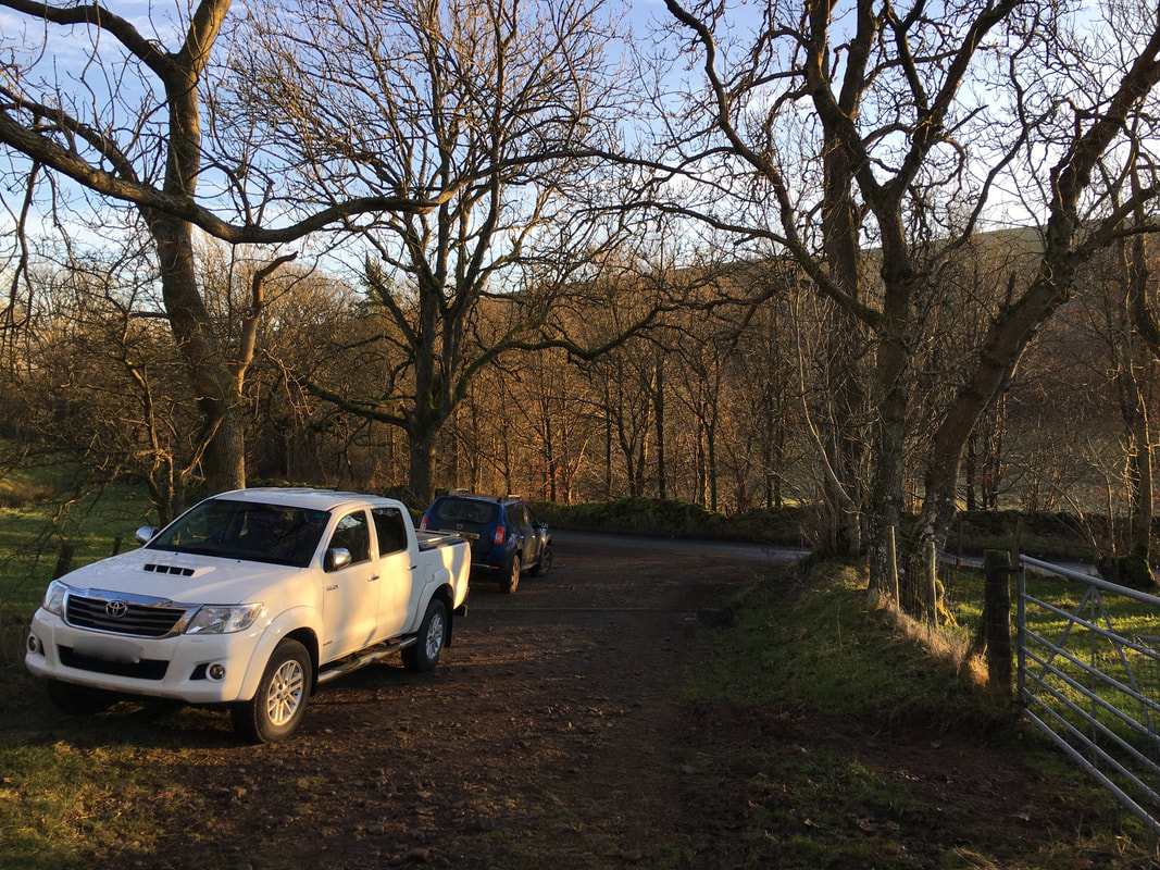
The parking area a few yards north of Brownrigg Farm.
There is verge parking on the main road or up this side lane - all in all there is room for about 6 cars.
There is verge parking on the main road or up this side lane - all in all there is room for about 6 cars.
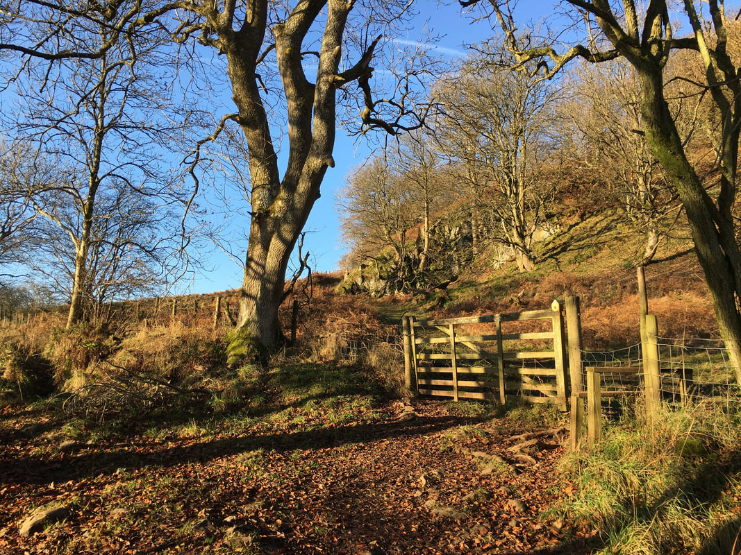
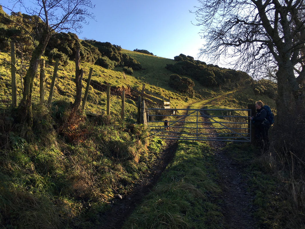
About 400 yards up the lane from the parking area is a gate on the right which eventually gives access to the open fell side
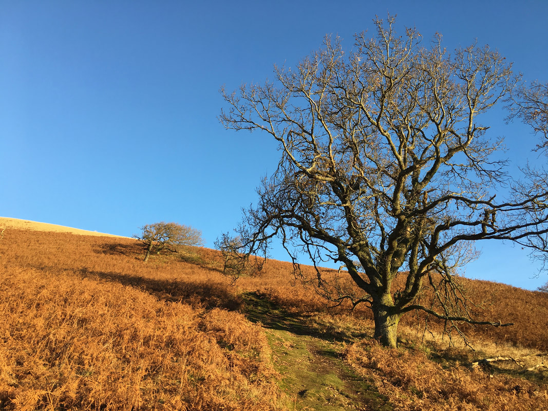
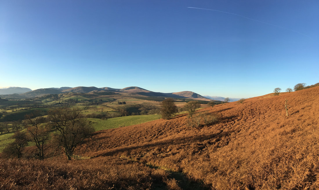
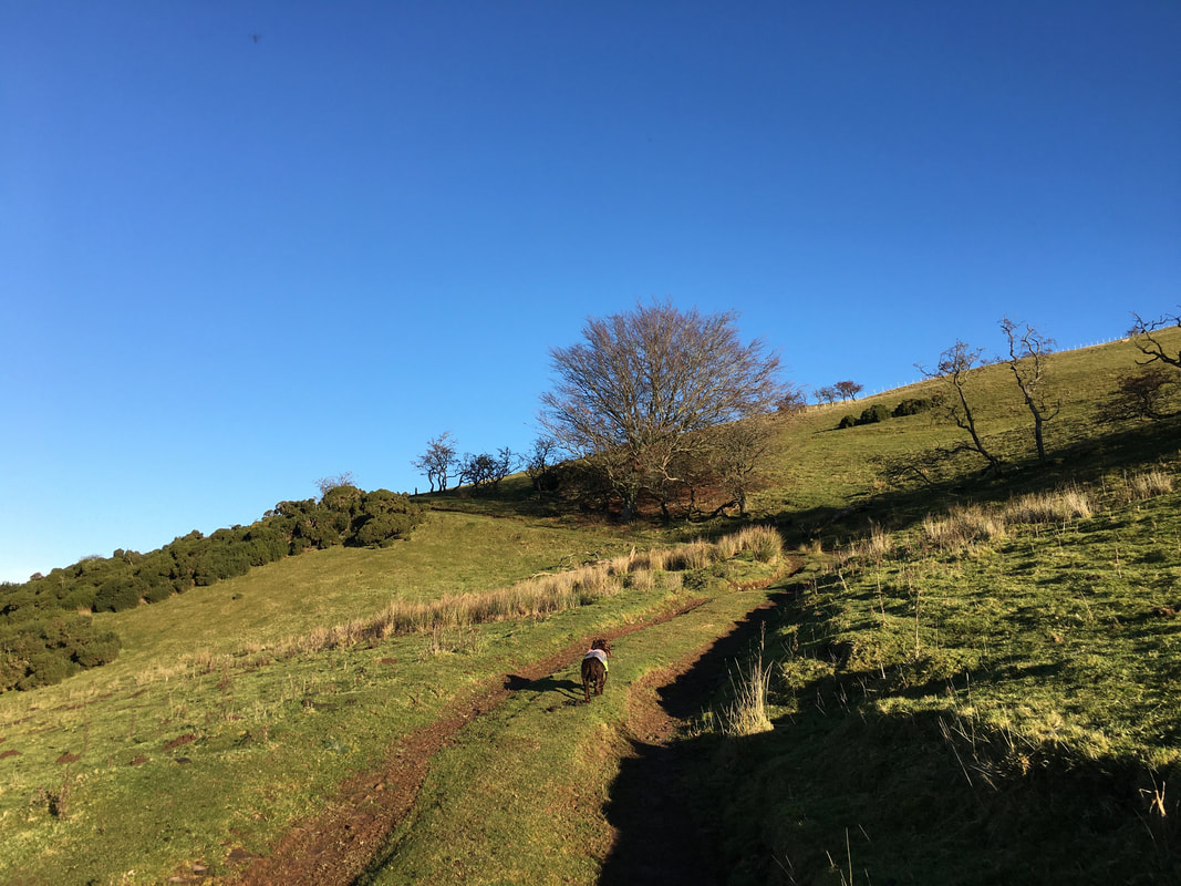
The route heads gently up the fell side on a very pleasant path
Looking to The Dodds with Helvellyn to the left and Clough Head to the right
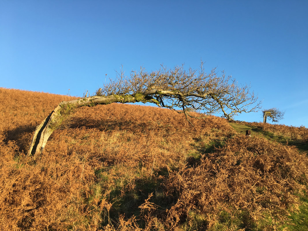
It clearly gets a bit blowy up here as Fudge takes an opportunity to do a bit of photobombing
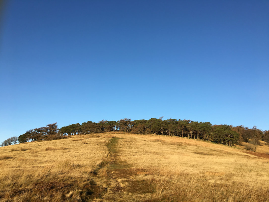
The open fell side leads to a plantation of Scots Pine from where the path heads straight through the middle of it
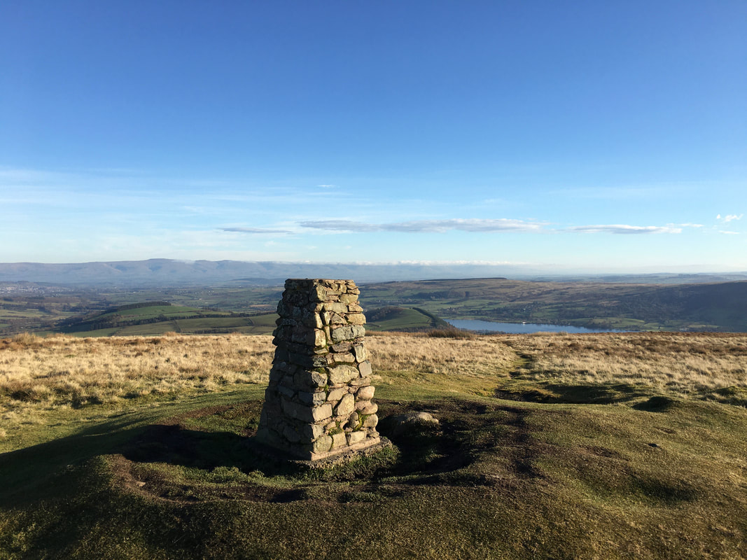
A short distance after the Scots Pine plantation the summit is reached.
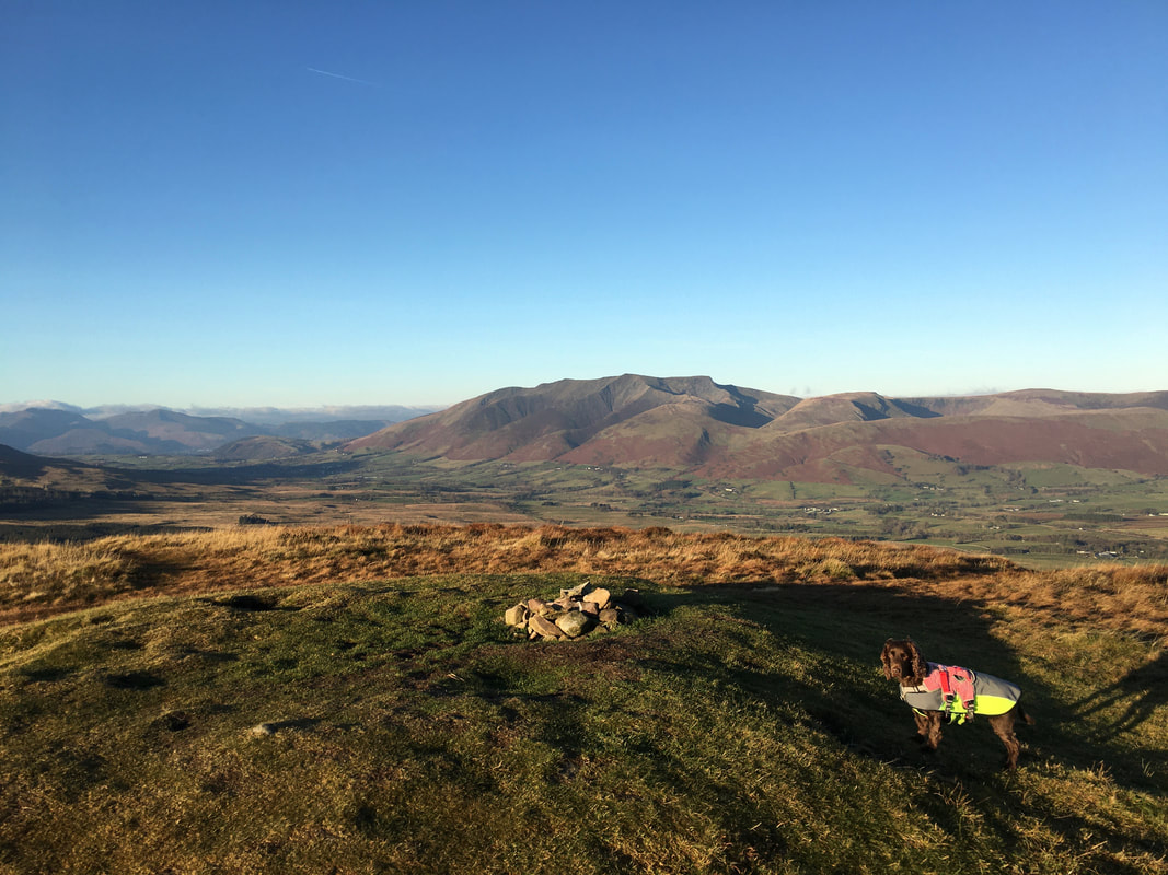
For such a modest climb, the summit affords fantastic views as can be demonstrated here with a superb vista over to Blencathra.
For such a modest climb, the summit affords fantastic views as can be demonstrated here with a superb vista over to Blencathra.
Heading down off Great Mell Fell with our next climb in view from the descent - Little Mell Fell
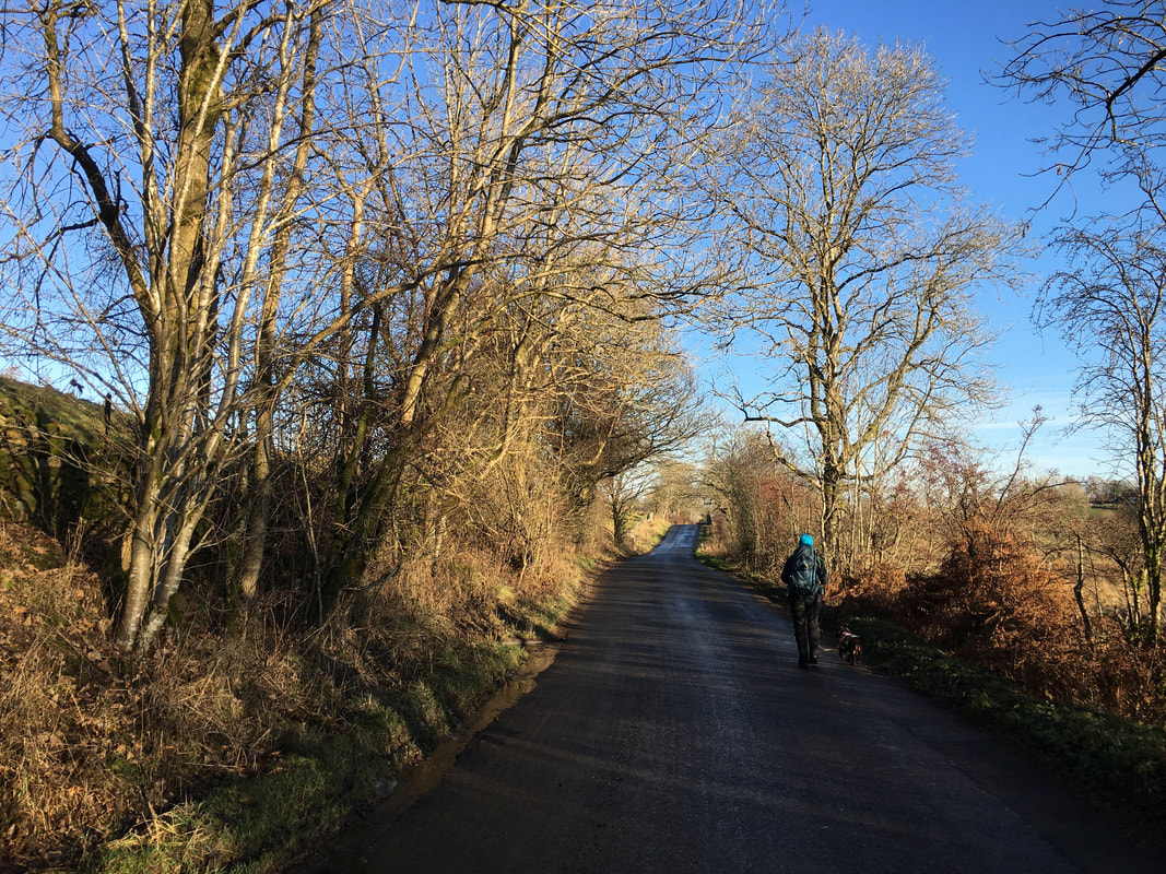
All quiet regarding traffic as we head along the road north east from Brownrigg Farm
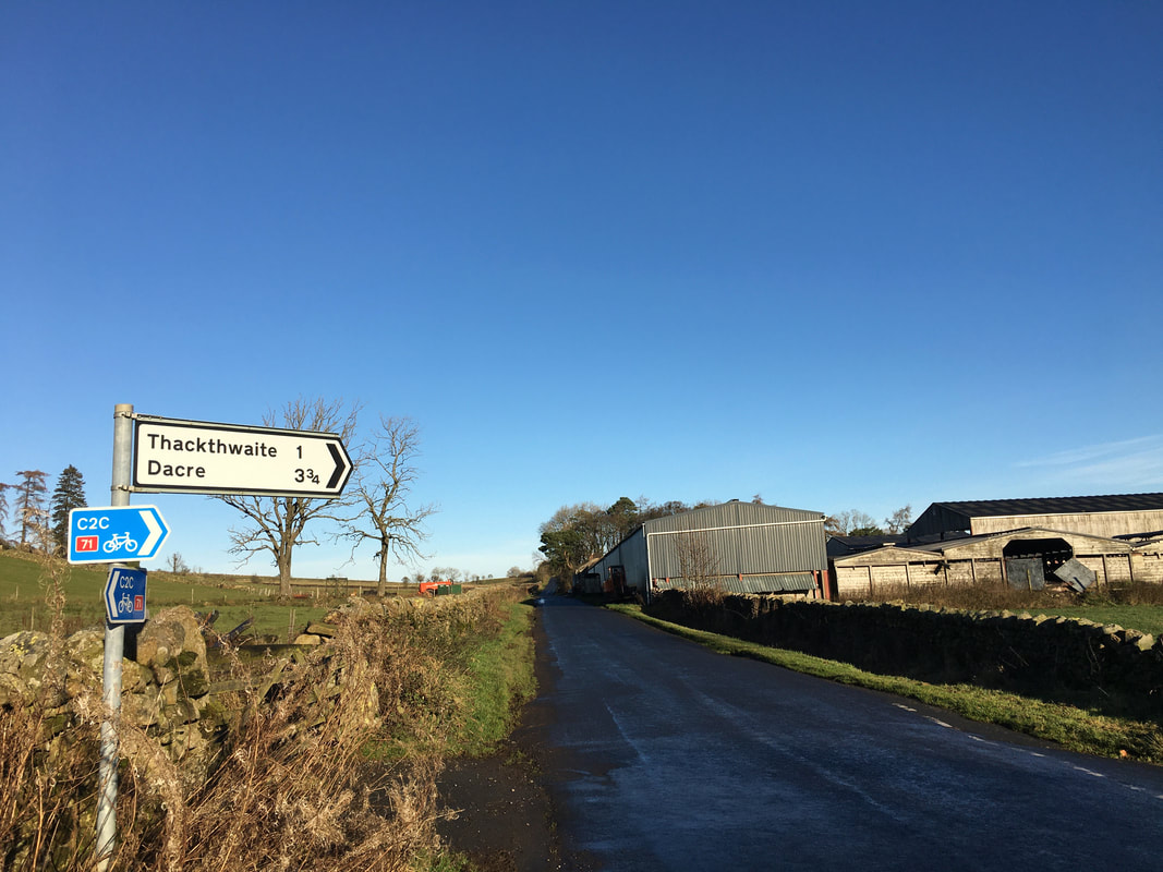
Just before Walloway Farm the route turns right on the road towards Thackthwaite
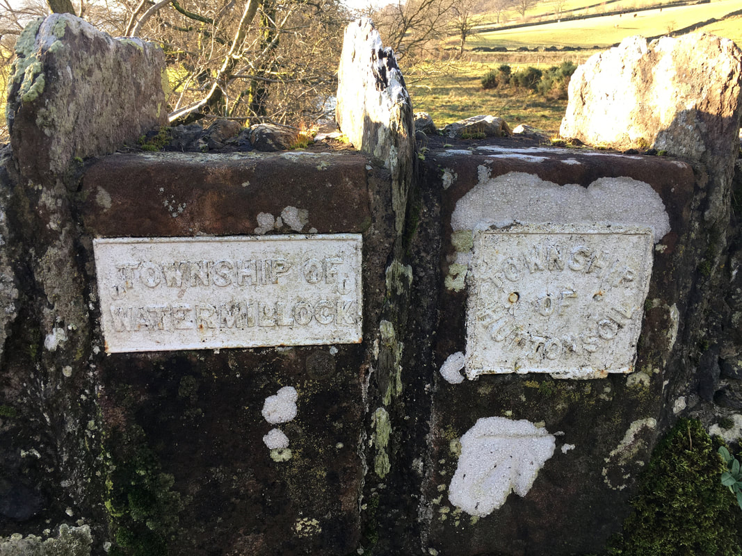
Crossing the border - no passport required
Just after the farm at Green Barn a track on the left leads to a gate which gives access to the lower slopes of Little Mell Fell. The fell side can also be accessed a few hundred yards further on at Lowthwaite where a path leads to the southern slopes of Little Mell Fell just above The Hause.
The farm track switches back on itself and heads to the east a little further up the fell
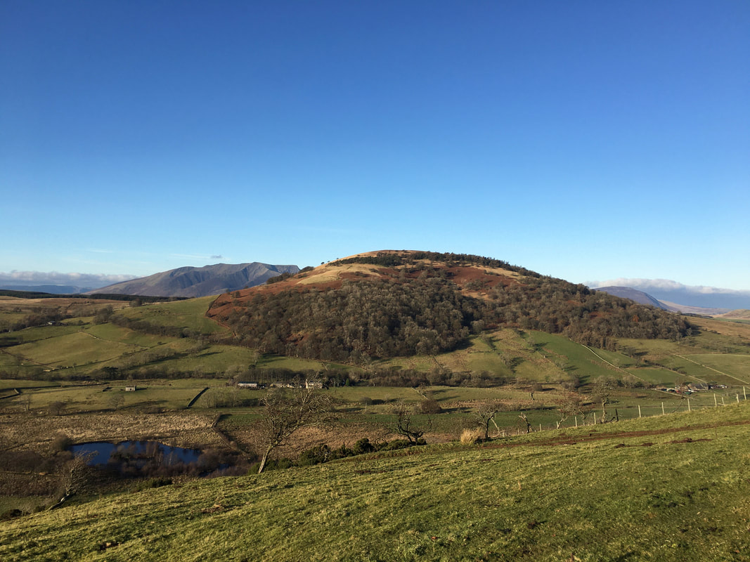
Great Mell Fell & Blencathra from the lower slopes of Little Mell Fell
Whilst cold, this really was a stunning day to be out on the fells
The summit of Little Mell Fell looking to Ullswater & The Pennines
Whilst Angie took more photos, Fudge and I discussed what we might be getting for Christmas
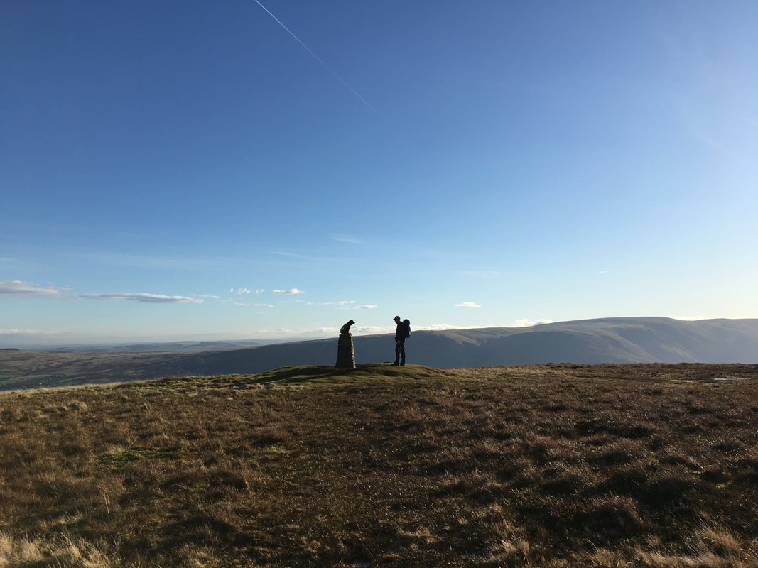
Top dog on the summit of Little Mell Fell
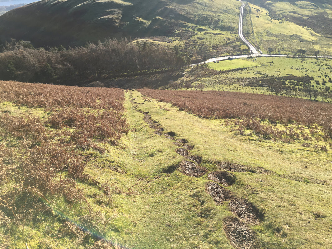
The steep descent from Little Mell Fell to The Hause
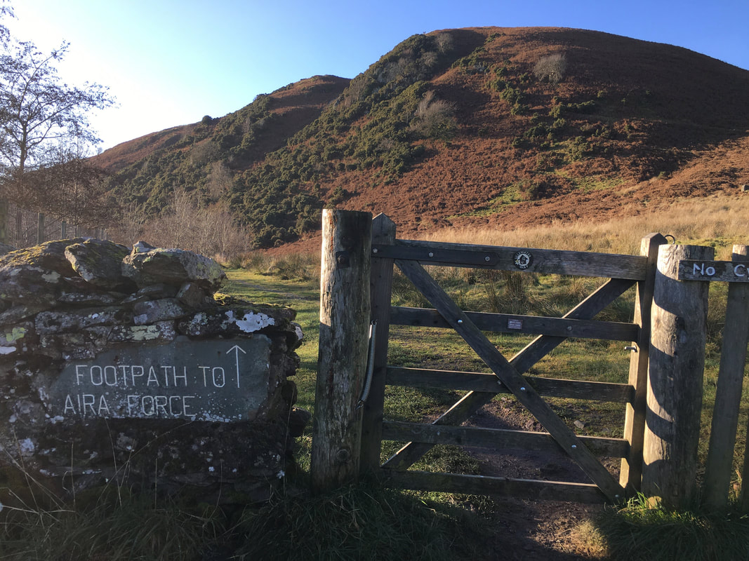
Near Crag House and before Watermillock Church a gate gives access to the Aira Force Path below Priest's Crag
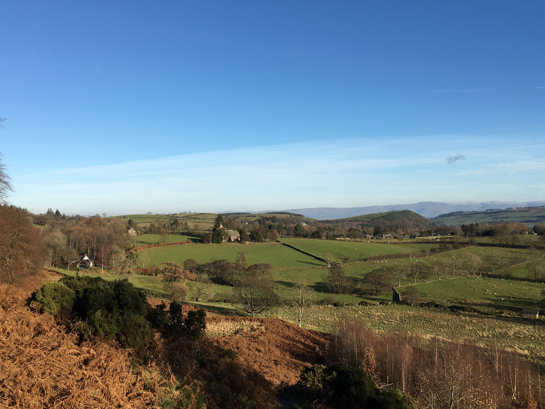
The path to Aira Force climbs gently as we look back to Watermillock Church
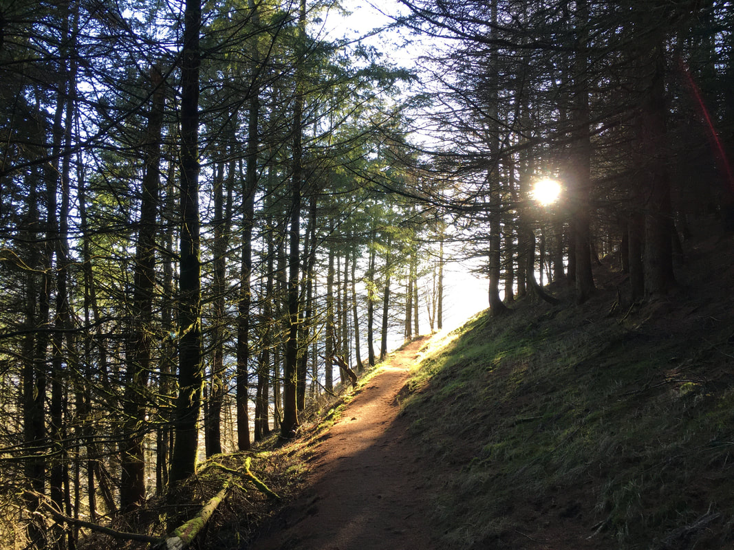
The sun shines trough the trees as we head through Swinburns Park
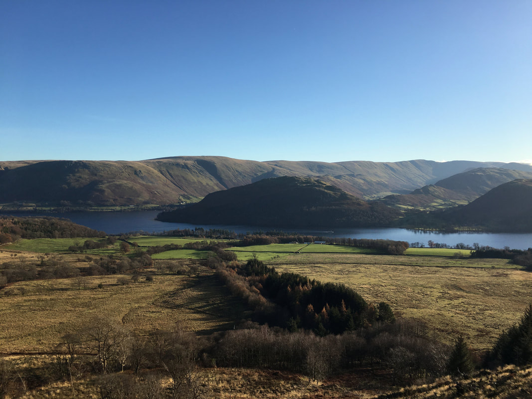
Looking across Ullswater to Hallin Fell in the centre with Bonscale Pike, Loadpot Hill, Wether Hill, Steel Knotts & Beda Fell to the rear
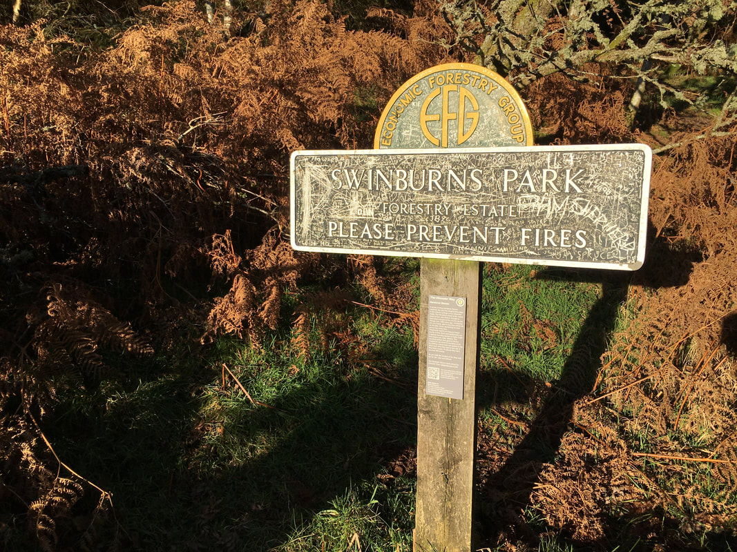
Leaving Swinburns Park.
I guess that if somebody painted the sign the idiots would still deface it as they have done here.
I guess that if somebody painted the sign the idiots would still deface it as they have done here.
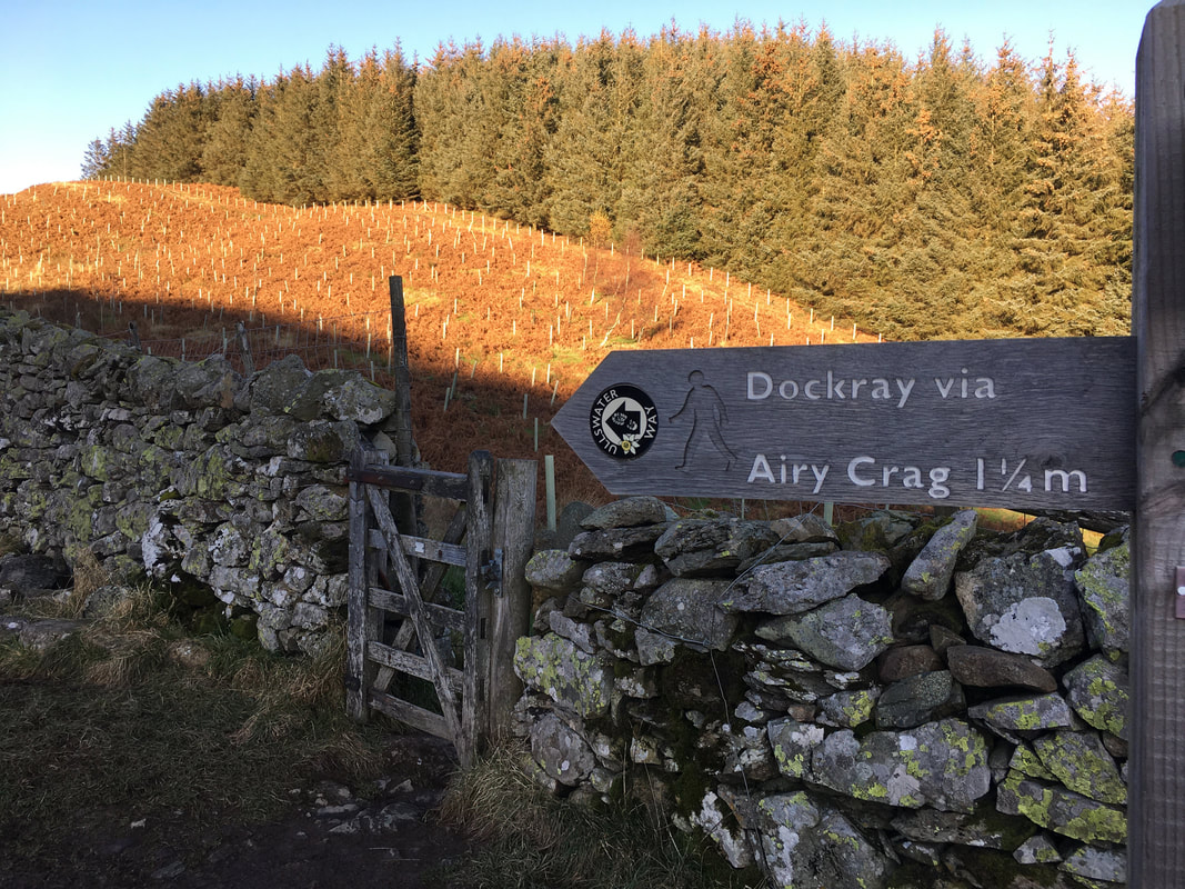
Exiting Swinburns Park, a sign points the way to Airy Crag which is an another name for the summit of Gowbarrow Fell
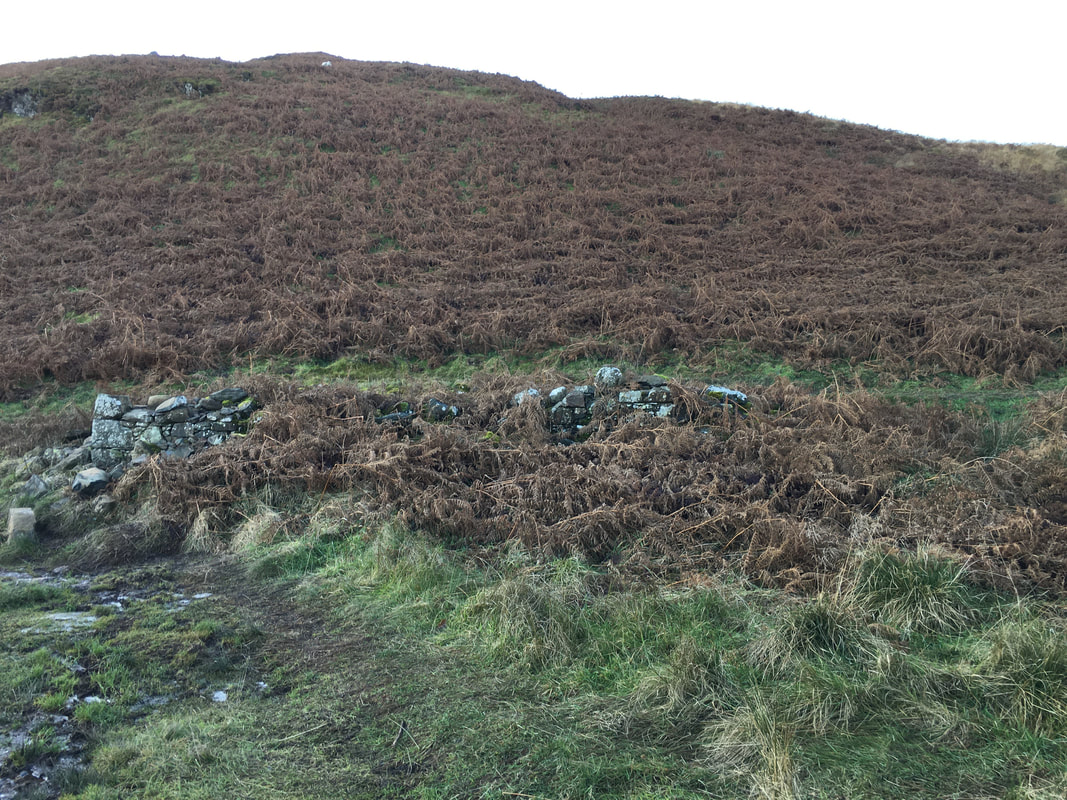
The remnants of the old Shooting Lodge
In previous centuries the fell was part of a medieval hunting-park, Gowbarrow Park, which belonged to the lords of Greystoke.
In previous centuries the fell was part of a medieval hunting-park, Gowbarrow Park, which belonged to the lords of Greystoke.
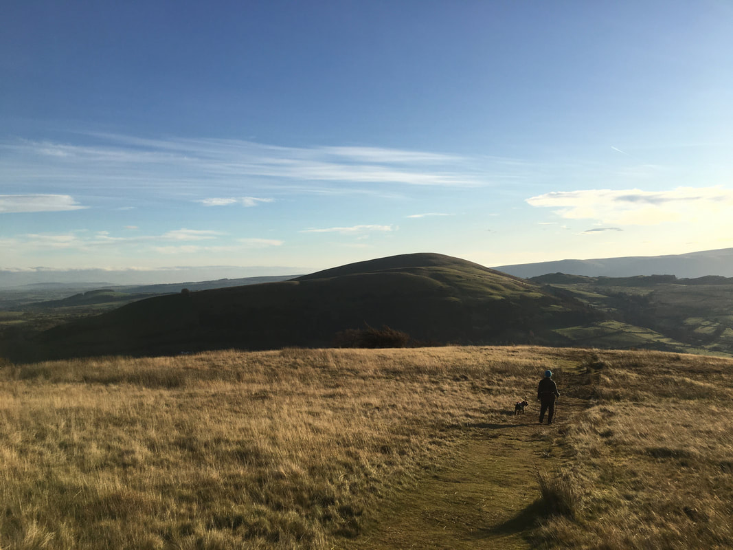
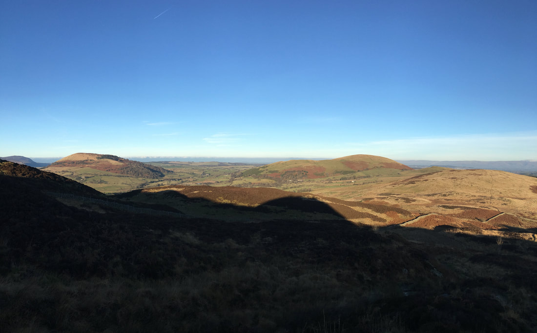
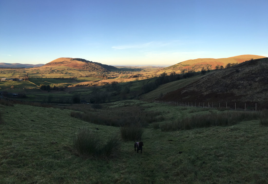
Shadows fall as we head along the path towards Gowbarrow Fell looking over to the Mell Fells
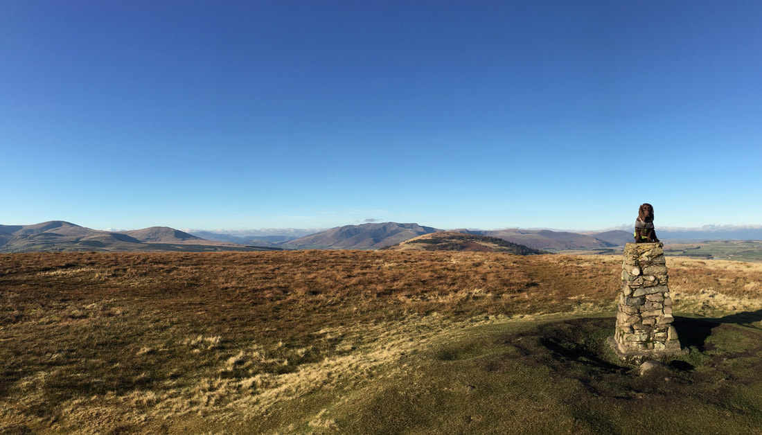
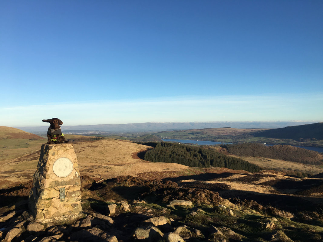
Fudge has one engine running as he prepares to take off from the summit of Gowbarrow Fell. The fells name is believed to come from the Old Norse for "windy hill" - Golbery or Golebergh therefore it is no wonder he cannot control his lugholes.
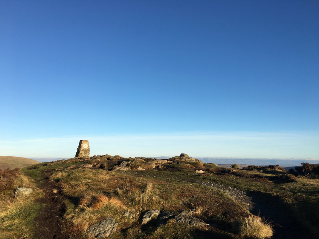
The Wainwright summit of Gowbarrow Fell
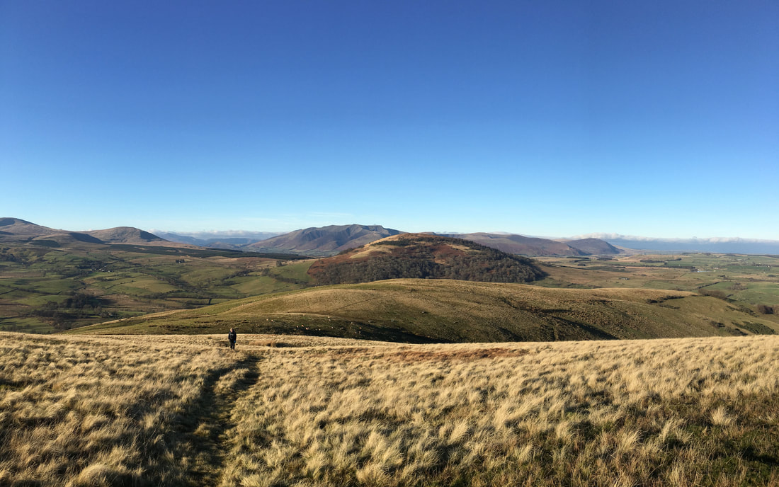
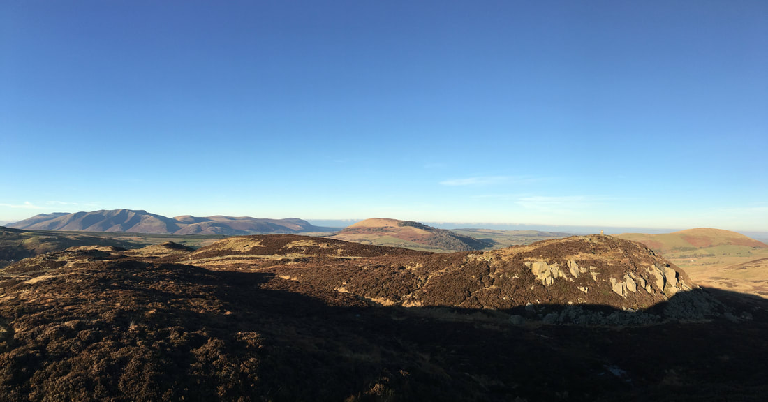
A panorama of Gowbarrow Fell looking to Blencathra and the Mell Fells
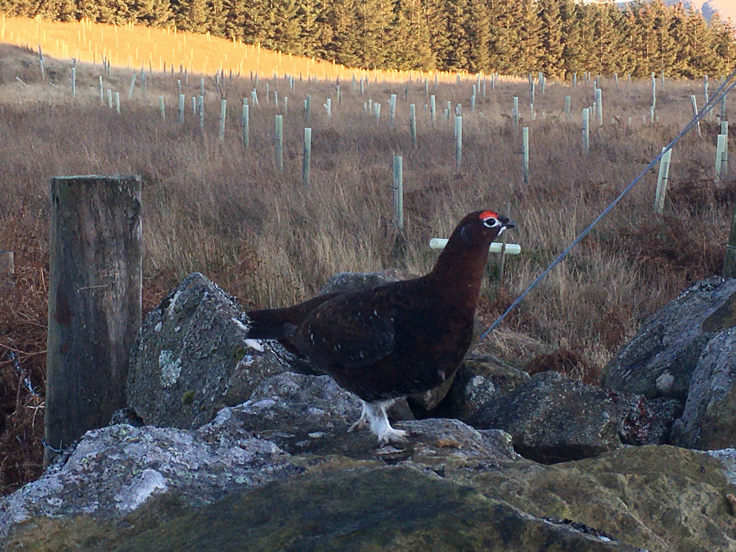
The grumpy Red Grouse of Gowbarrow. This little chap was not too happy we were on his manor and told us in no uncertain terms to 'do one'. He didn't stop squawking until we had.
Dropping down to Ulcat Row from Gowbarrow Fell. Once down at the road it is a 2 mile walk along a very quiet lane back to the start at Brownrigg Farm.
