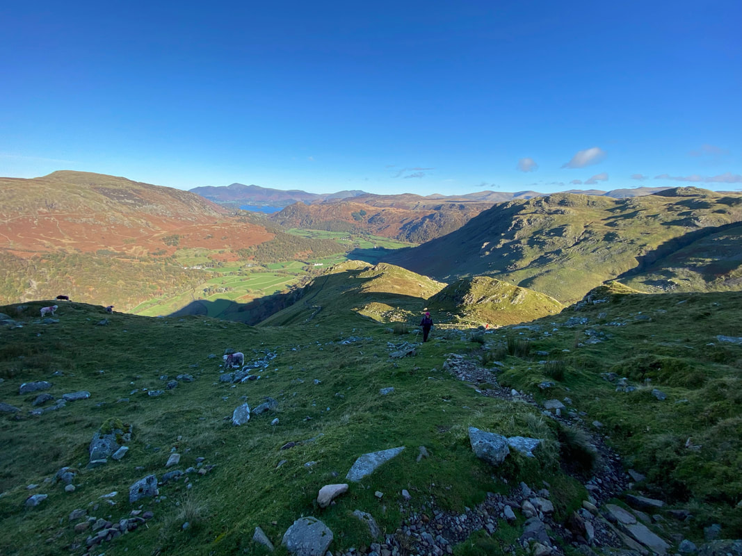
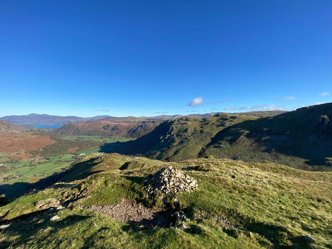
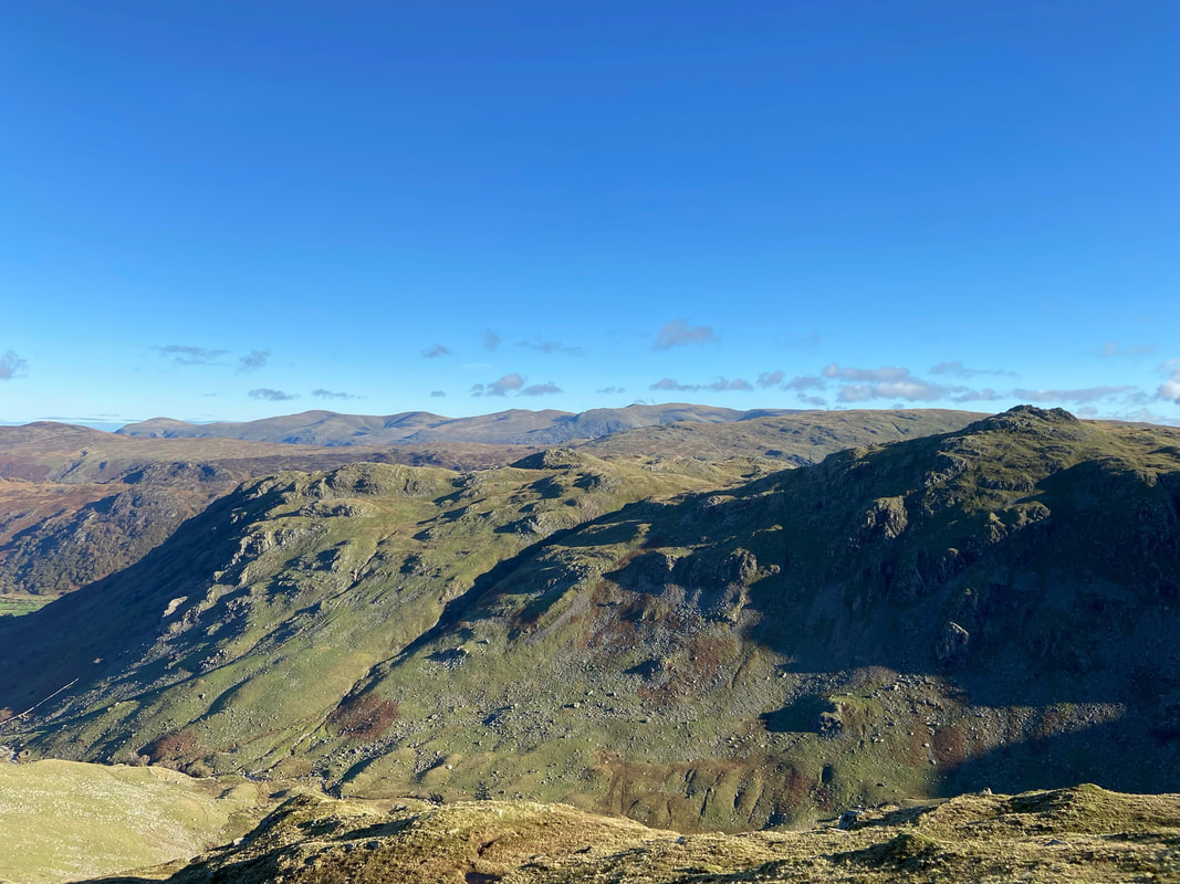
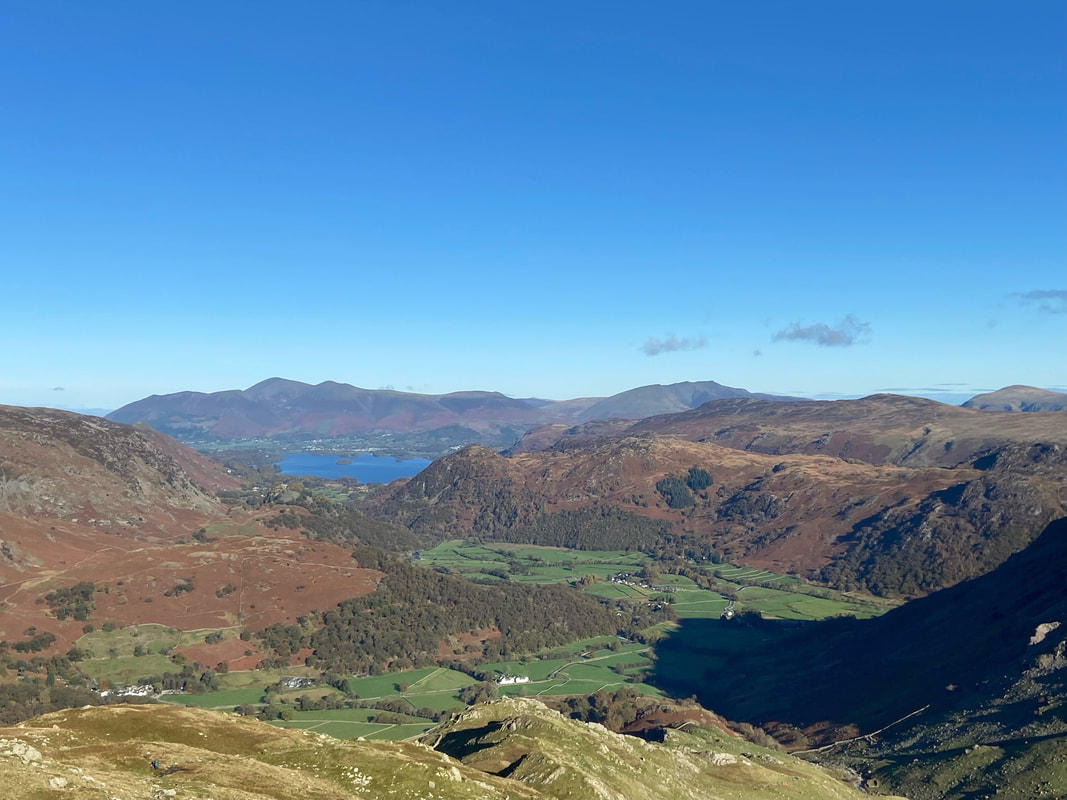
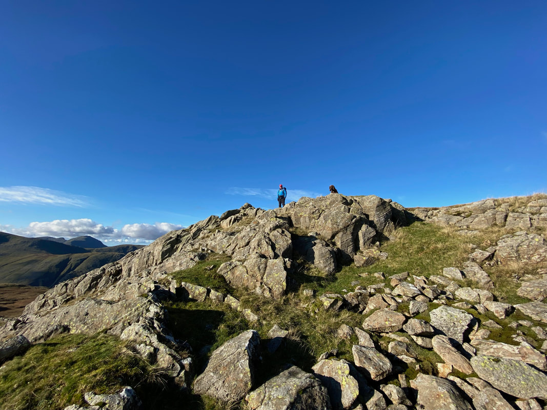
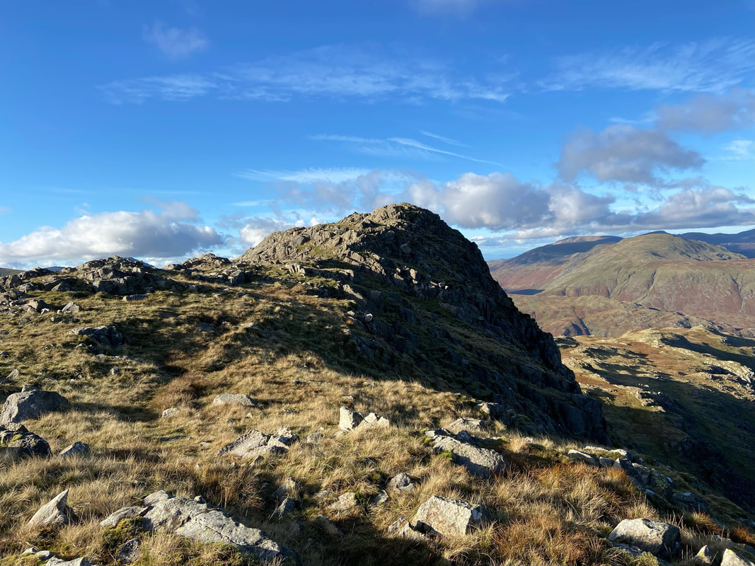
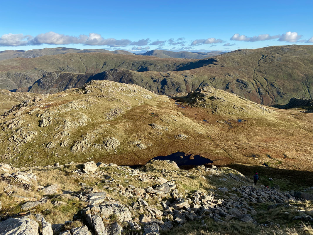
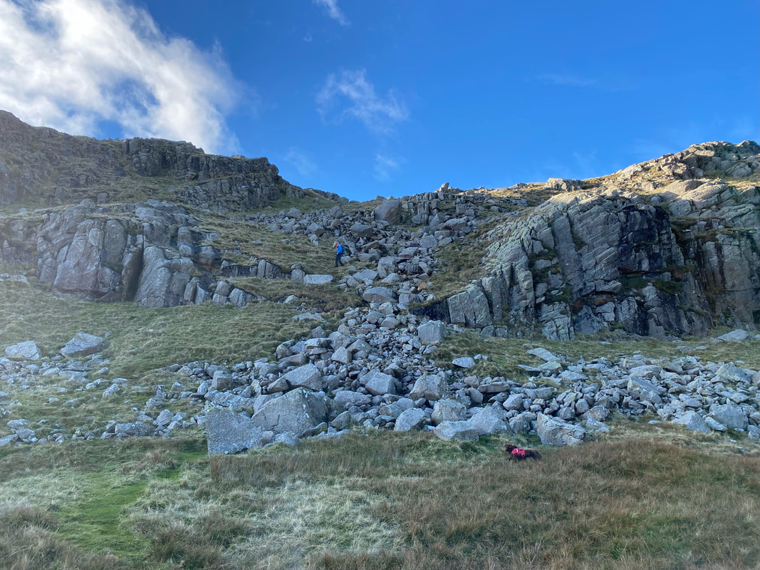
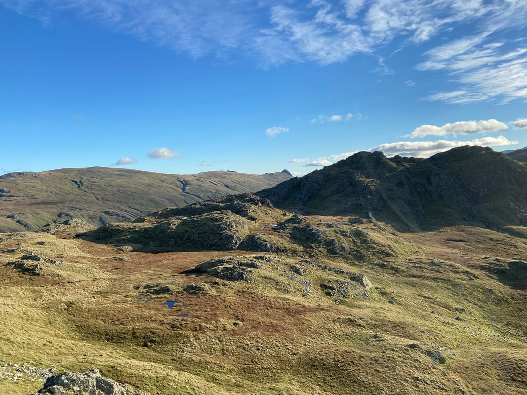
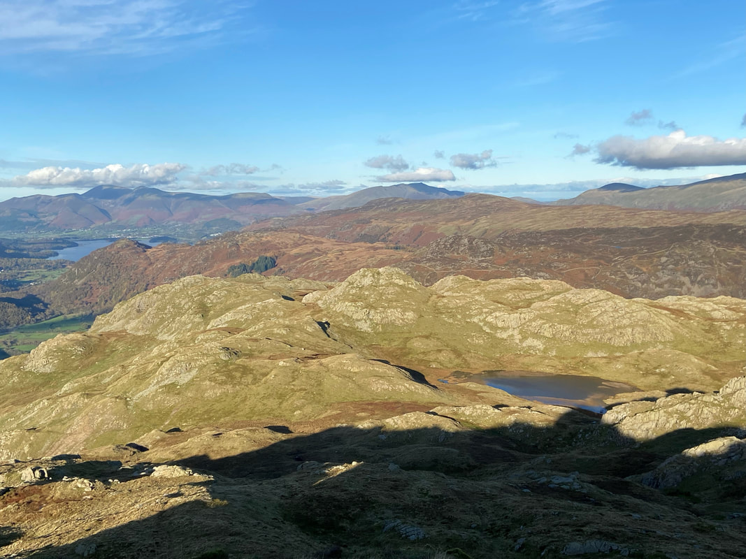
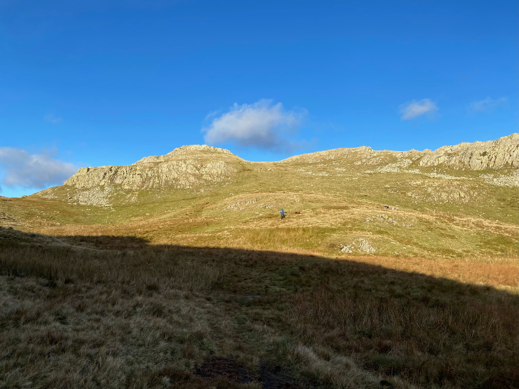
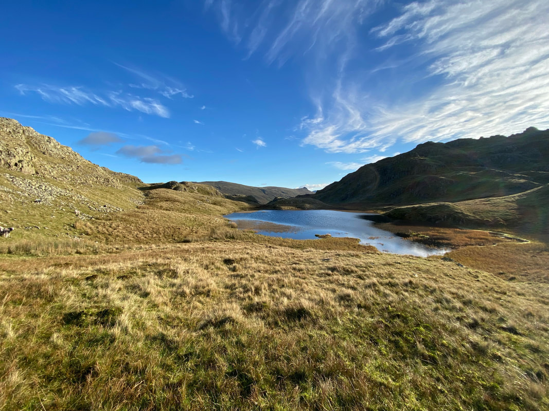
Glaramara & Rosthwaite Fell (Bessyboot) - Thursday 4 November 2021
Route
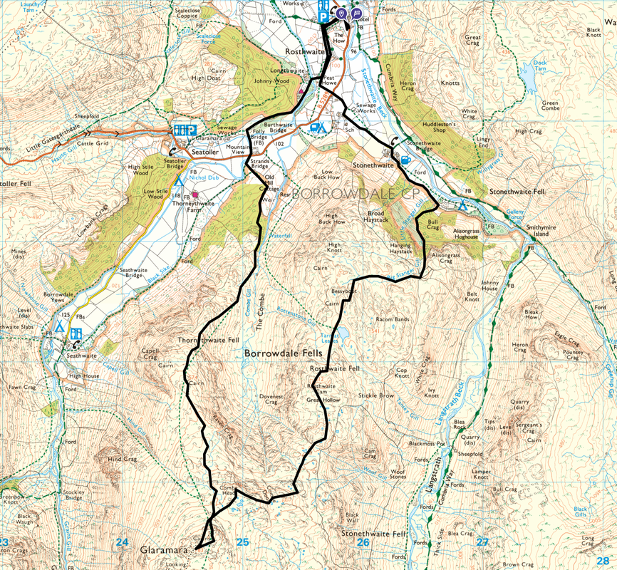
Rosthwaite - Peat Howe - Borrowdale Youth Hostel - Johnny Wood - Folly Bridge - Strands Bridge - Thornythwaite Fell - Glaramara - Combe Head - Combe Door Top - Dovenest Top - Rosthwaite Cam - Tarn at Leaves - Rosthwaite Fell (Bessyboot) - Big Stanger Gill - Stonethwaite - Peat Howe - Rosthwaite
Parking
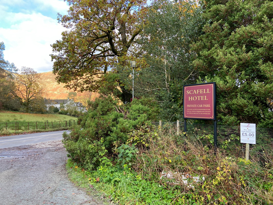
Scafell Hotel Overflow Car Park (Charge, Pay at Reception in the Hotel before starting your walk). The Grid Reference is NY 2590 1478 and the nearest postcode CA12 5XB. As of 2023 the price for the day was £5.
Mileage
10.1 miles
Terrain
Good mountain paths for the most part with some road walking on quiet lanes. The paths on the section between Combe Head & Bessyboot are intermittent therefore an ability to navigate is required, particularly in poor visibility. The descent via Big Stanger Gill to the valley floor near Stonethwaite is extremely steep in places therefore care needs to be taken.
Weather
A crisp and glorious sunny autumn day with no wind. The visibility was excellent.
Time Taken
7hrs
Total Ascent
2916ft (889m)
Wainwrights
2
Map
OL6 - The English Lakes (South Western Area)
Walkers
Dave, Angie & Fudge
|
GPX File
|
| ||
If the above GPX file fails to download or presents itself as an XML file once downloaded then please feel free to contact me and I will send you the GPX file via e-mail.
Route Map
The parking used by non residents of The Scafell Hotel is next door to the Main Car Park and as of 2023 was £5 for the day. Please pop in to Reception and hand over your shekels in return for a ticket which you then place in your car.
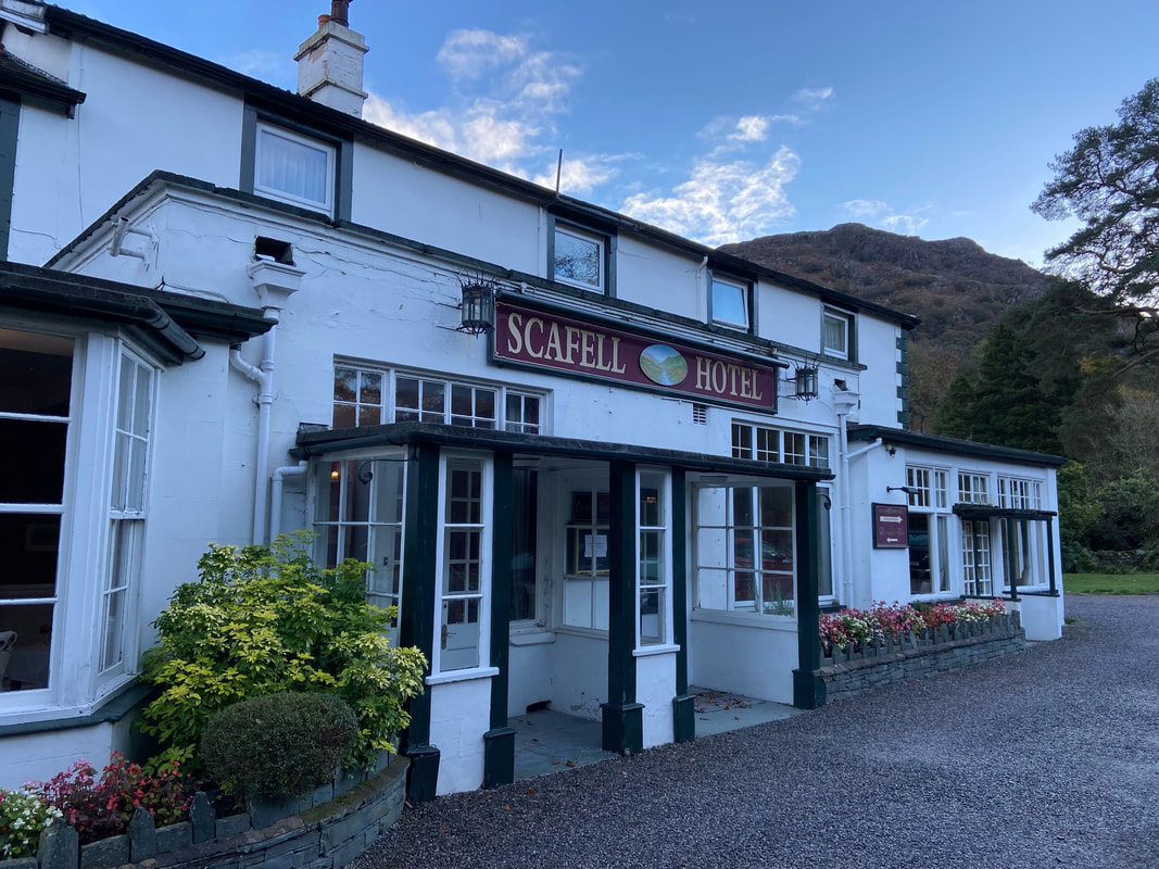
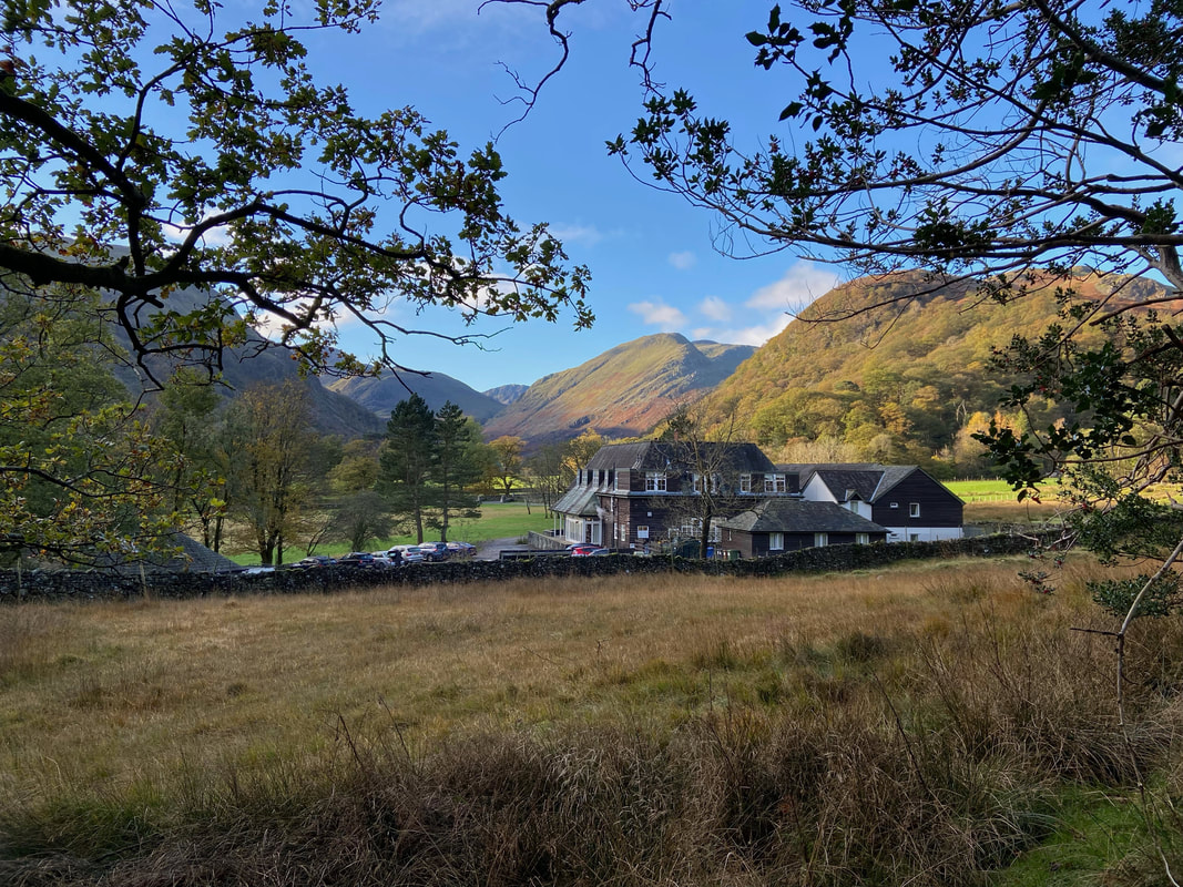
The route passes in front of the hotel in the direction of Rosthwaite
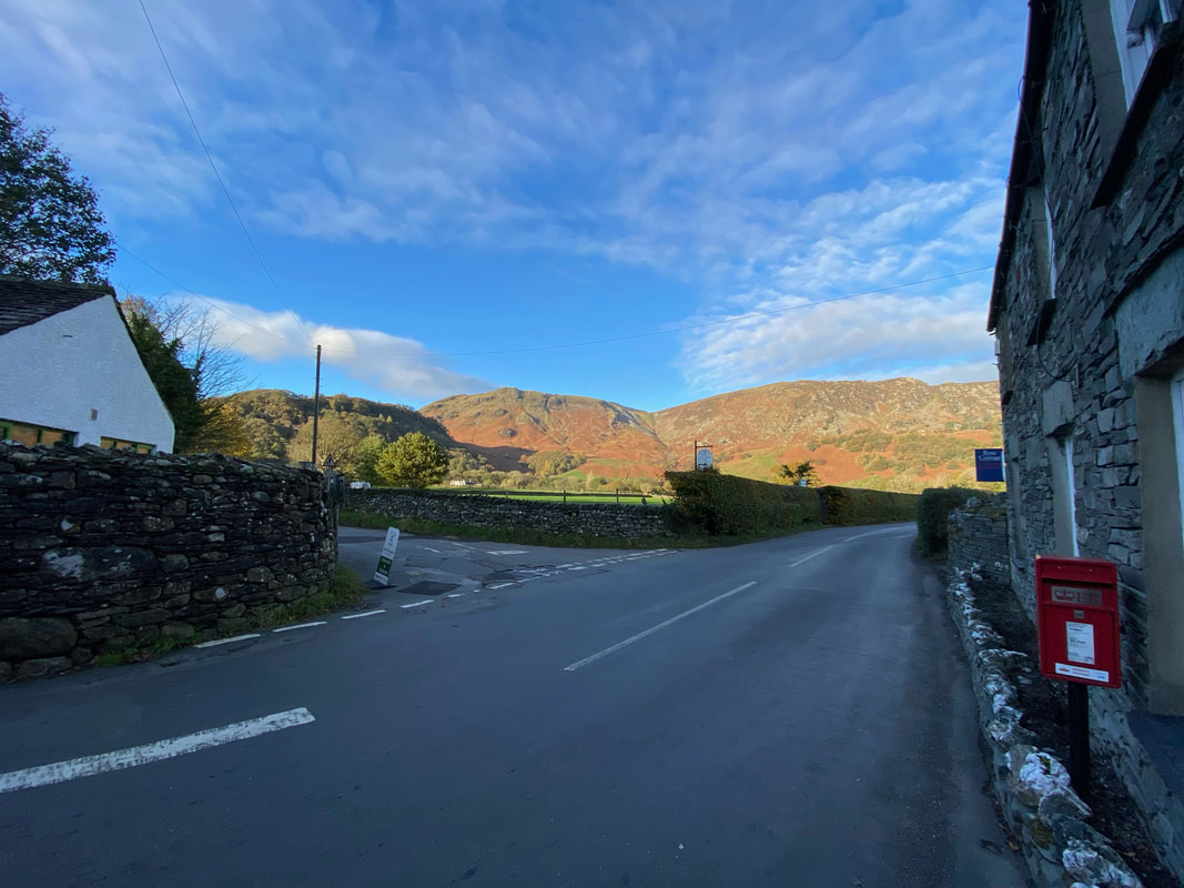
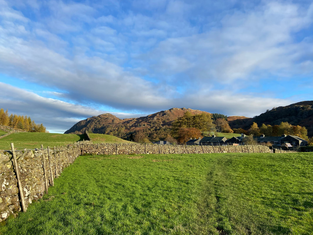
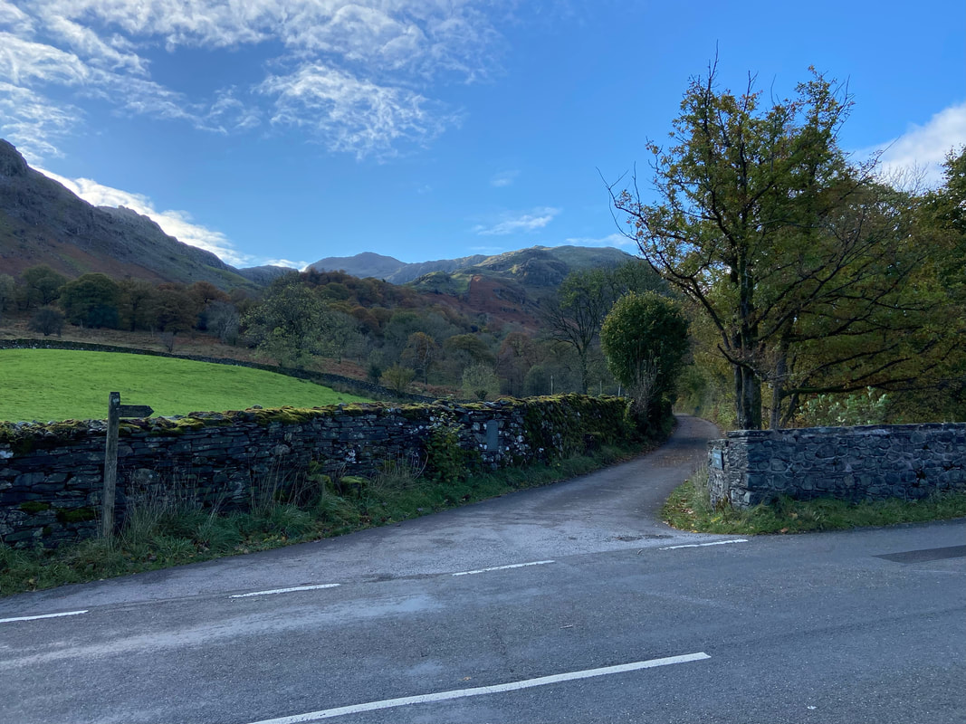
After a short walk to the north along the B5289, the route leaves the main road via a lane on the left opposite Rose Cottage
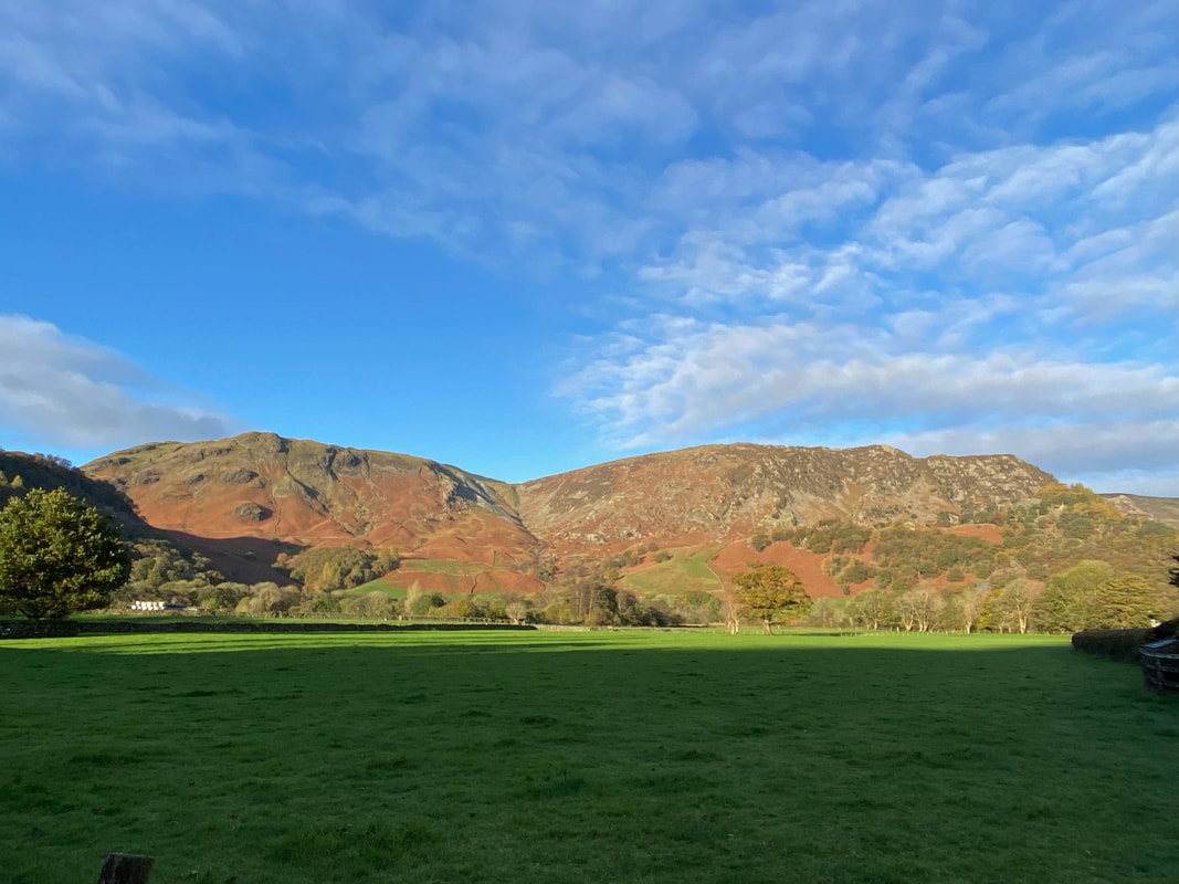
Looking left to High Scawdel with High Spy to the right and Rigghead Quarries centre
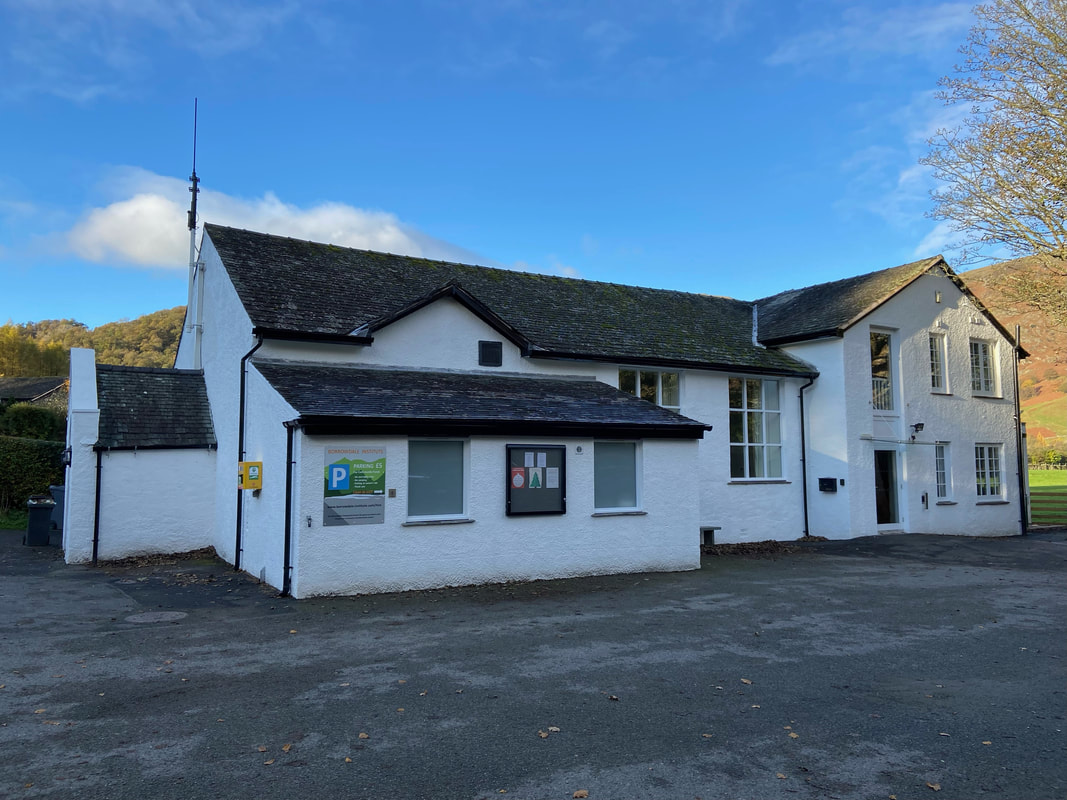
Alternative parking spaces can be found here at The Borrowdale Institute or the National Trust Car Park right next door.
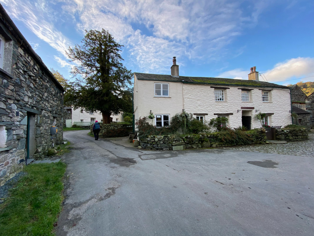
At a fork next to Yew Tree Farm the road through the village turns to the left towards Peat Howe. The cobbled path to the right heads to Grange & Castle Crag.
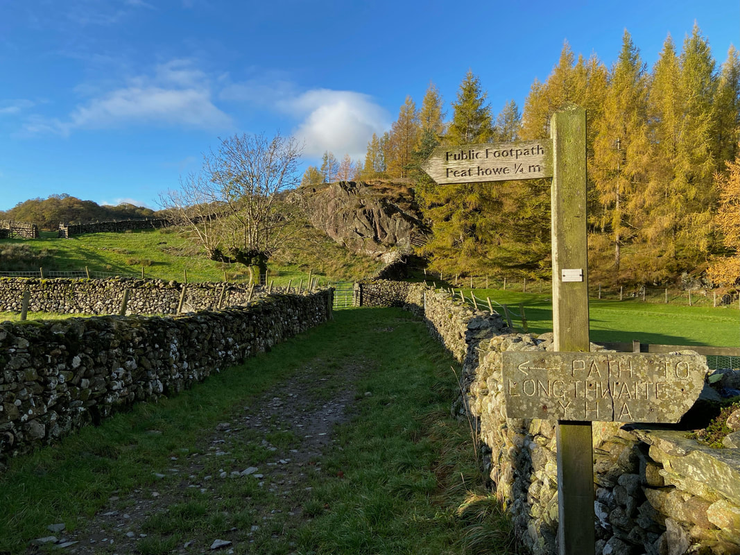
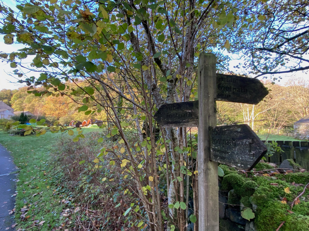
Once clear of the village a sign points the way to Peat Howe and Longthwaite Youth Hostel now known as YHA Borrowdale
Looking back to King's How & Brund Fell the two summits on Grange Fell
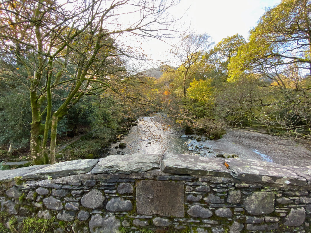
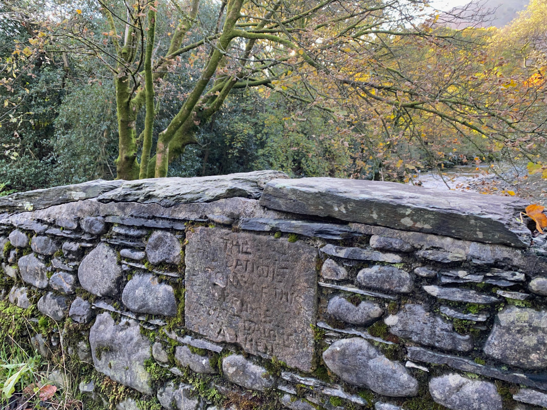
Crossing the River Derwent at Peat Howe via Longthwaite Bridge - more about the stone inscription on the pic below
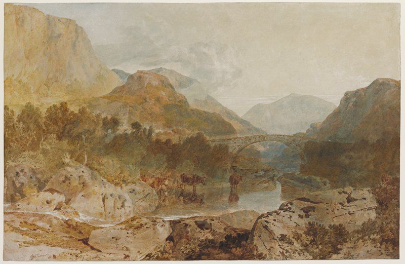
Each time we pass this stone tablet the inscription gets harder to read. The first few words can just about be made out as "The Foundation Stone of this Bridge" followed by a few illegible words then "Amen". The bridge featured in a painting by the renowned artist J M W Turner.
Borrowdale, with Longthwaite Bridge and Castle Crag, c. 1799-1802 - J M W Turner RA
Turner gives us a northward view of the River Derwent in the Borrowdale Valley. Beyond Longthwaite Bridge, the two low but prominent hills are Castle Crag to the left and Grange Fell to the right. The hills narrow the valley creating “The Jaws of Borrowdale.” Turner’s sketch of the bridge survives at Tate Britain museum in London, and its battered condition attests to his repeated reference to it for the production of watercolours.
Turner gives us a northward view of the River Derwent in the Borrowdale Valley. Beyond Longthwaite Bridge, the two low but prominent hills are Castle Crag to the left and Grange Fell to the right. The hills narrow the valley creating “The Jaws of Borrowdale.” Turner’s sketch of the bridge survives at Tate Britain museum in London, and its battered condition attests to his repeated reference to it for the production of watercolours.
A junction of paths near YHA Borrowdale - we would be heading left whilst the path to the right leads to Grange
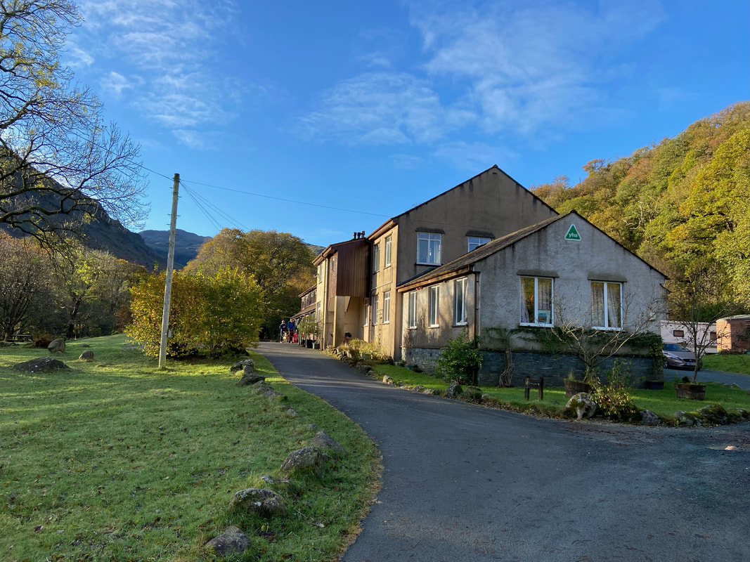
YHA Borrowdale - our route passes the main entrance ahead and out the other side into Johnny Wood
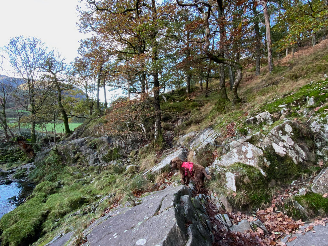
Passing through Johnny Wood alongside the River Derwent. The keen eyed amongst you will notice the chains bolted to the rocks just above where Fudge is. These are to aid ones transit over what is a bit of a precarious path when the rock is wet - as it usually is.
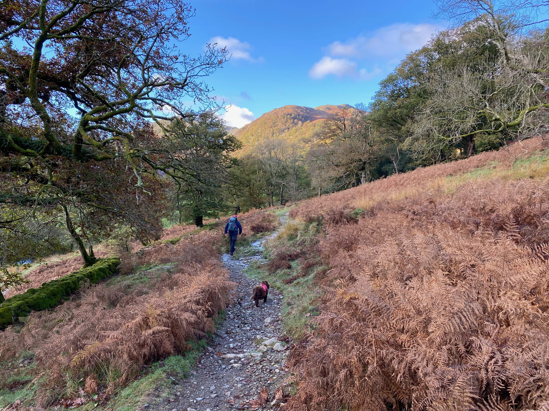
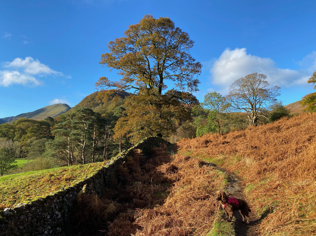
Fudge trundles behind me as we continue through Johnny Wood with Seatoller Fell ahead
The Glaramara Hotel - we were off to the fell of the same name
Base Brown now in view as we near the turn off for Folly Bridge
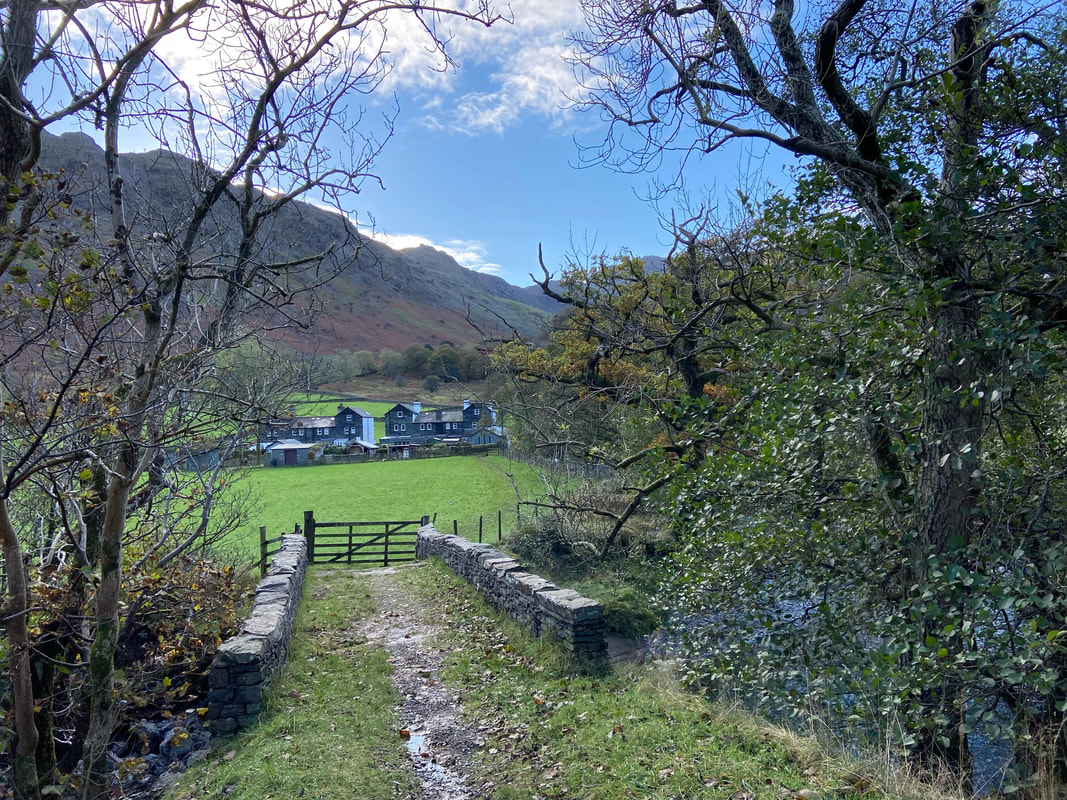
Folly Bridge with the cottages of Mountain View ahead. The bridge dates from 1781 and was built by John Braithwaite of Seatoller.
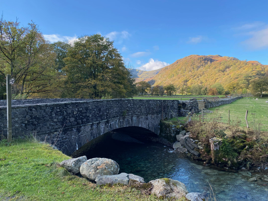
Just down from Folly Bridge is Strands Bridge which carries the B5289 - left leads to Rosthwaite with right heading for Honister
At Strands Bridge the B5289 is crossed to head up the access lane for Thorneythwaite Farm
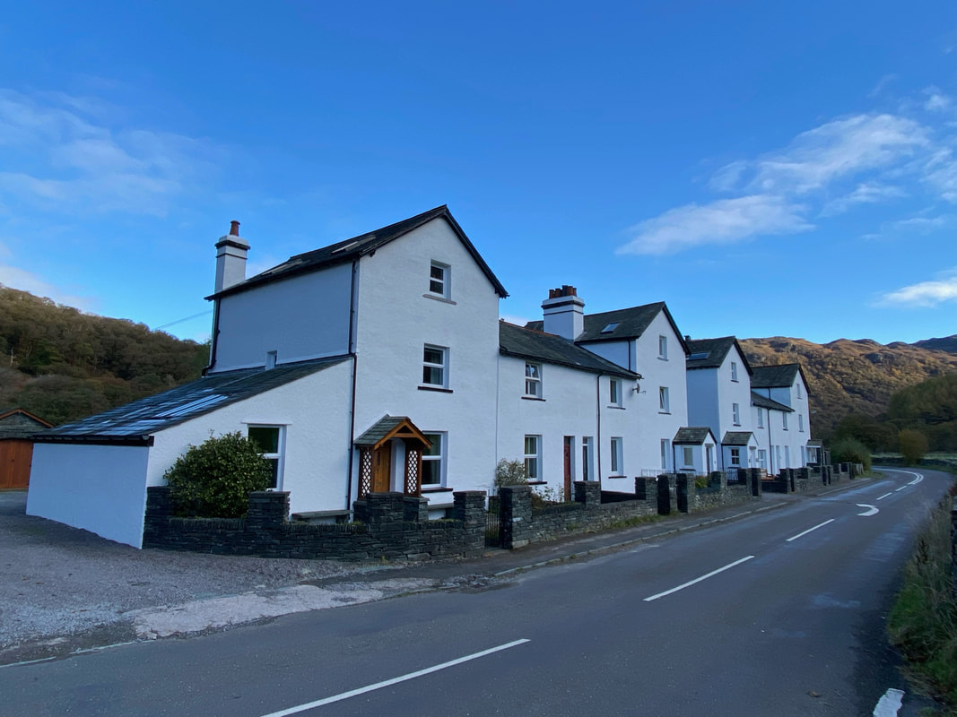
The refurbished miners cottages at Mountain View
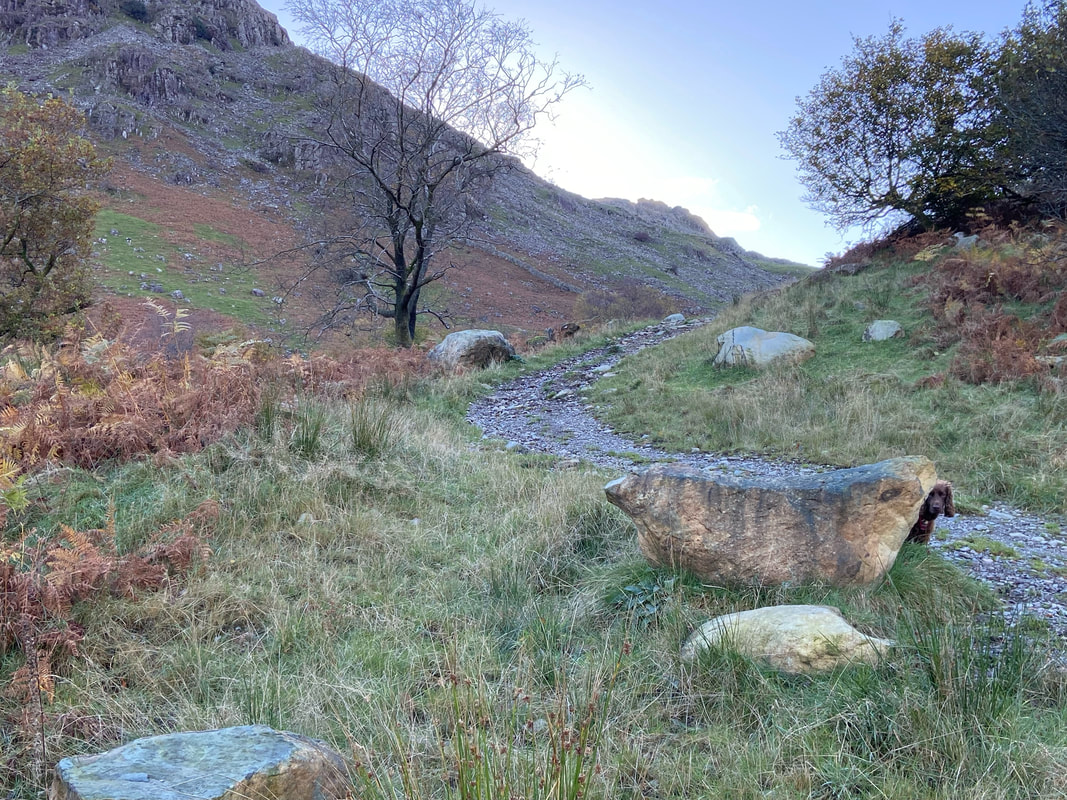
Fudge's hide and seek was coming along as we leave the farm access track and head for Thorneythwaite Fell
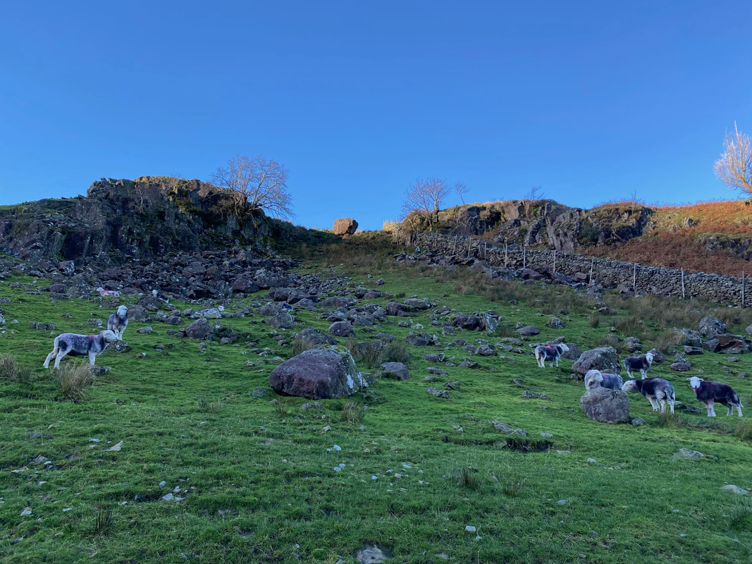
Herdy's galore as we approach the lower slopes of Thorneythwaite Fell
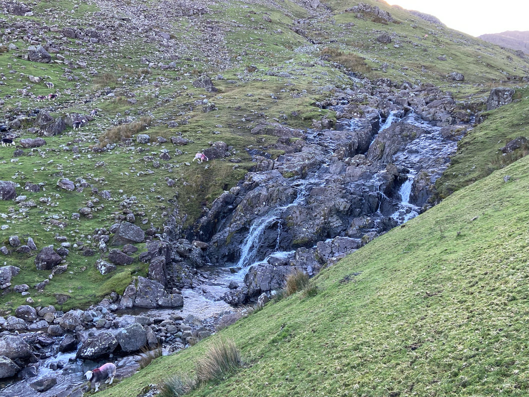
The lower waterfall of Combe Gill
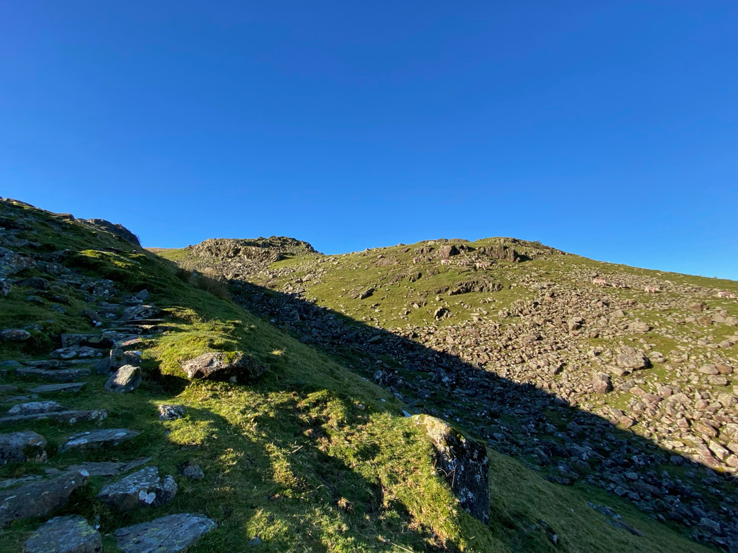
Ascending Thorneythwaite Fell
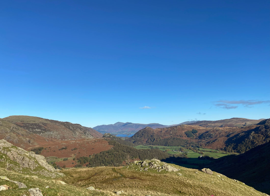
The Jaws of Borrowdale and Skiddaw dominate the view to the rear with Blencathra a distant right as we continue the climb
Looking across to Grey Knotts, Honister Crag (Black Star) & Dale Head
As height is gained on the ascent the views really do open out as we look back to Borrowdale
After what seemed an eternity we reached the summit of Thorneythwaite Fell
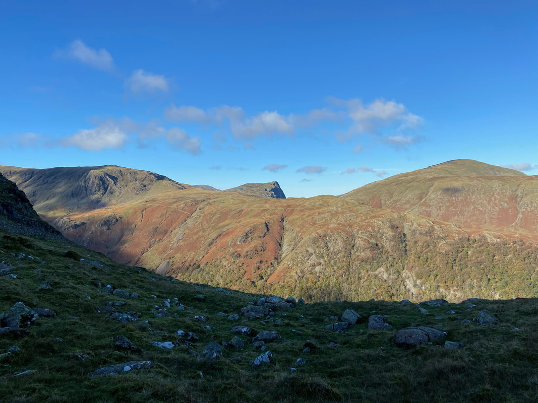
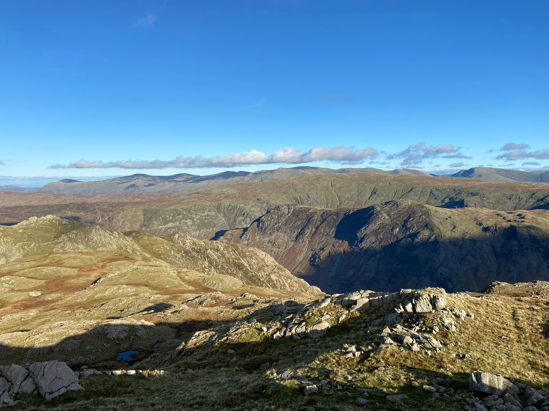
Looking across The Combe to what would be our return route via Rosthwaite Cam & Bessyboot
The ascent of Thorneythwaite Fell is at the bottom of shot with Skiddaw & Blencathra now in full view
From Thorneythwaite Fell the route continues to climb but on a less steep gradient and arrives in a grassy depression with Combe Head to the right.
Looking back to Combe Head from below Glaramara
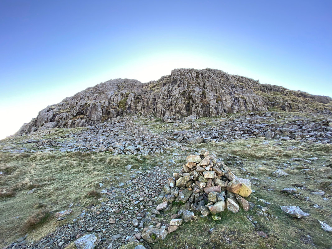
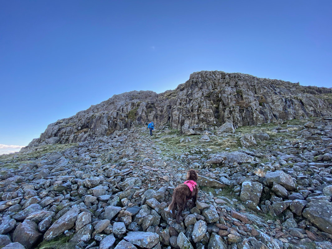
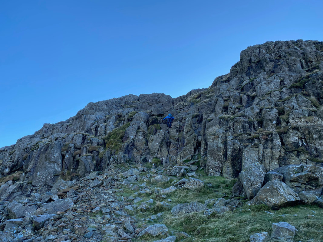
A large cairn marks the spot at which a decision has to be made by the walker as to which way to access Glaramara. Ahead is a steep 25ft scramble which leads to the summit of Glaramara. It is a relatively easy climb but like any vertical scramble, polished and wet rock wait to catch the unwary. It can be avoided via a route to the right and this is the path Angie & Fudge followed whilst I undertook the scramble.
Fudge watches me with due concern as I make my way over to commence the scramble up the rock. He is not concerned as to my welfare - far from it. He is worried whether or not my rucksack contains his lunch and that he will not eat should I perish.
Making my way up the rocky scramble - great fun. We have come down this way once or twice and it is much easier going up than down.
A short video of me making my way up - click Play to view
Videoing duties over, Angie and Fudge make their way around to the left to access Glaramara's summit plateau via an easier grassy rake
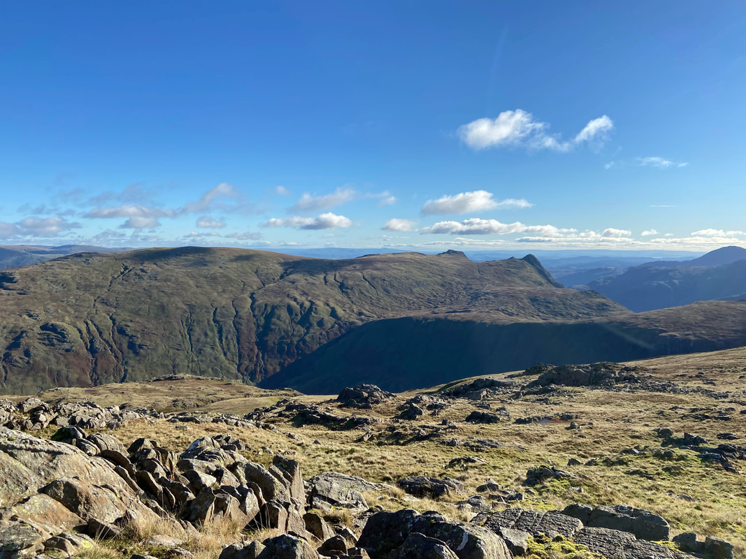
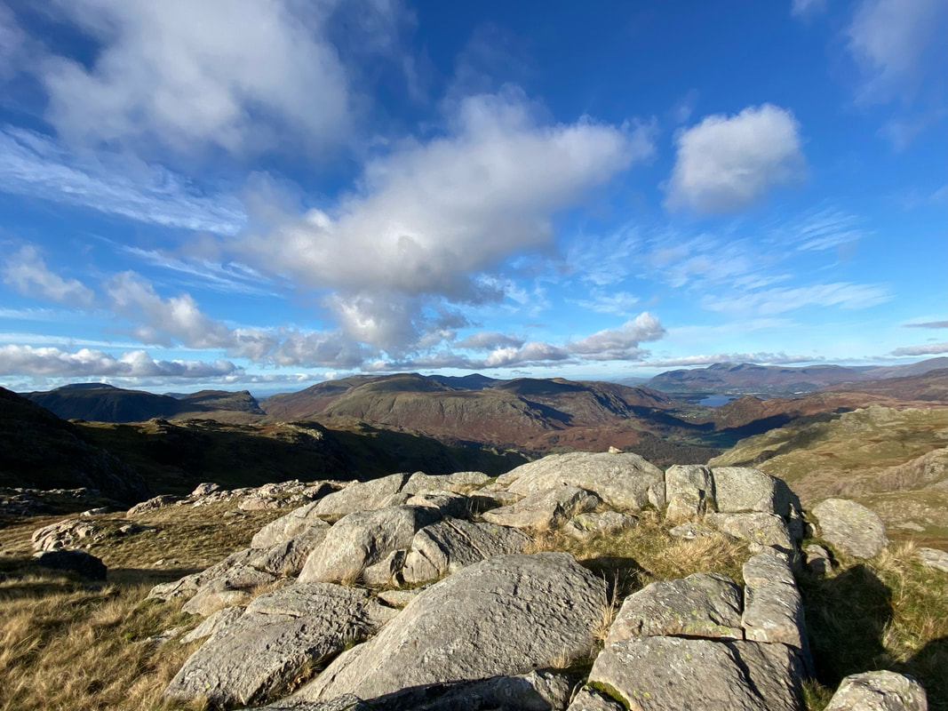
High Raise & The Langdale Pikes over Langstrath from Glaramara
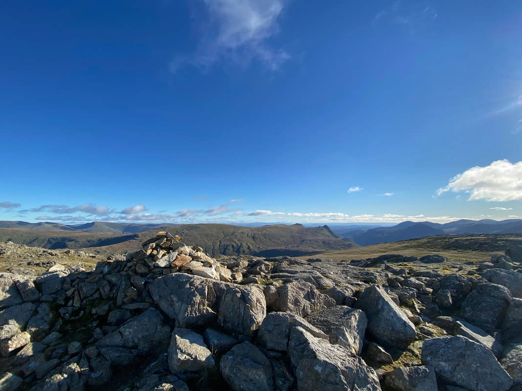
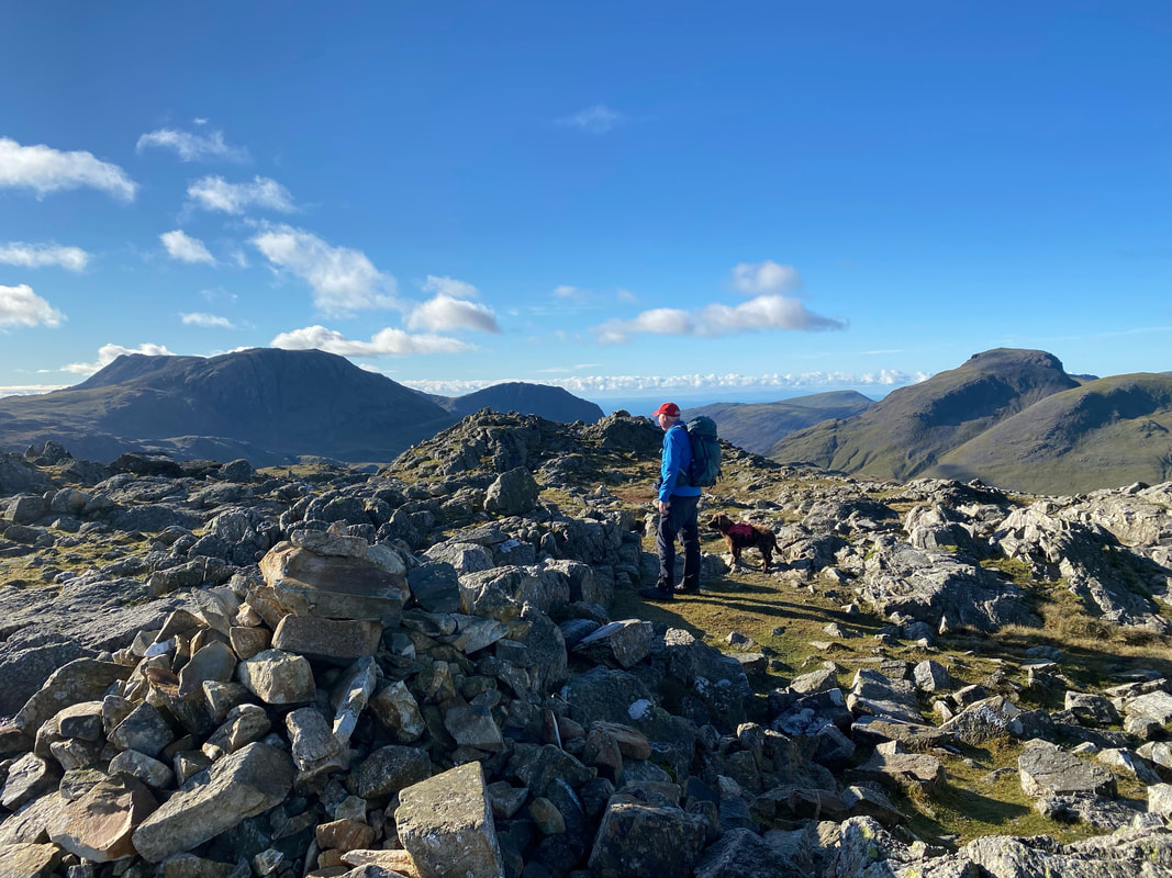
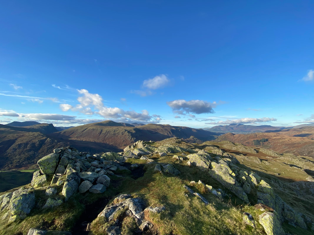
Looking to Glaramara's summit and what a wonderful place to be today. There are a few rocky outcrops on Glaramara that are adorned with cairns and each more than likely could lay claim to being the top. I find it just as easy to simply visit them all.
Up on Glaramara's summit plateau looking to the Langdale Pikes. Wainwright said of Glaramara "that the ancient and beautiful name really applies only to the grey turret of rock at the summit but happily has been commonly adopted for the fell as a whole" (Glaramara 2)
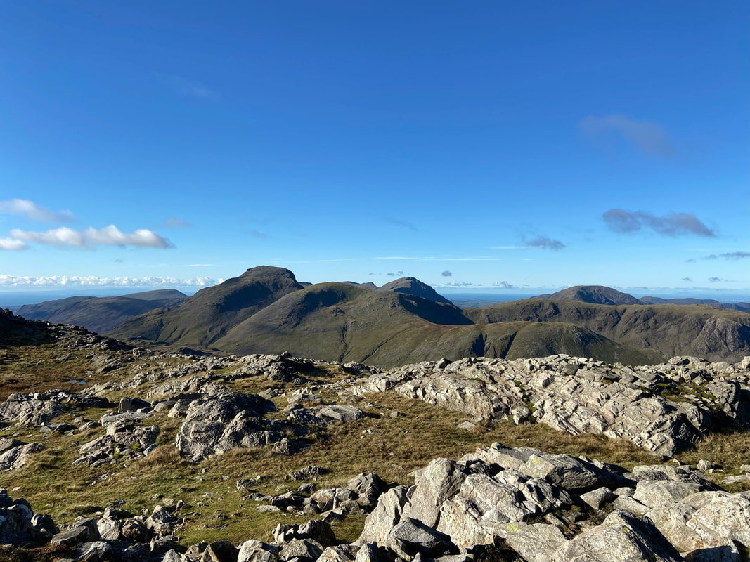
Seatallan, Great Gable, Green Gable, Pillar, Base Brown, Brandreth & High Stile from Glaramara's summit
Bowfell, Esk Pike, Allen Crags, Ill Crag, Great End & Lingmell from Glaramara
What a great day to be out - and absolutely nobody else here
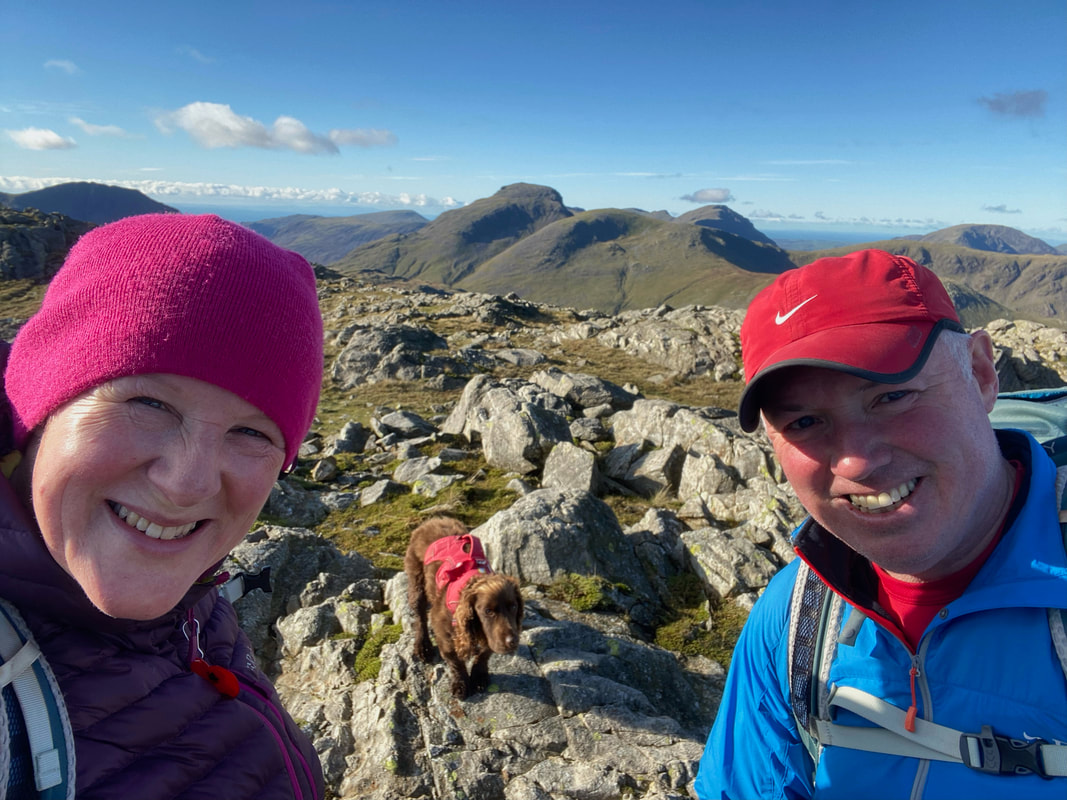
A Glaramara summit selfie with Fudge looking his usual happy self when the camera comes out
The glorious view from Glaramara's summit - click Play to view
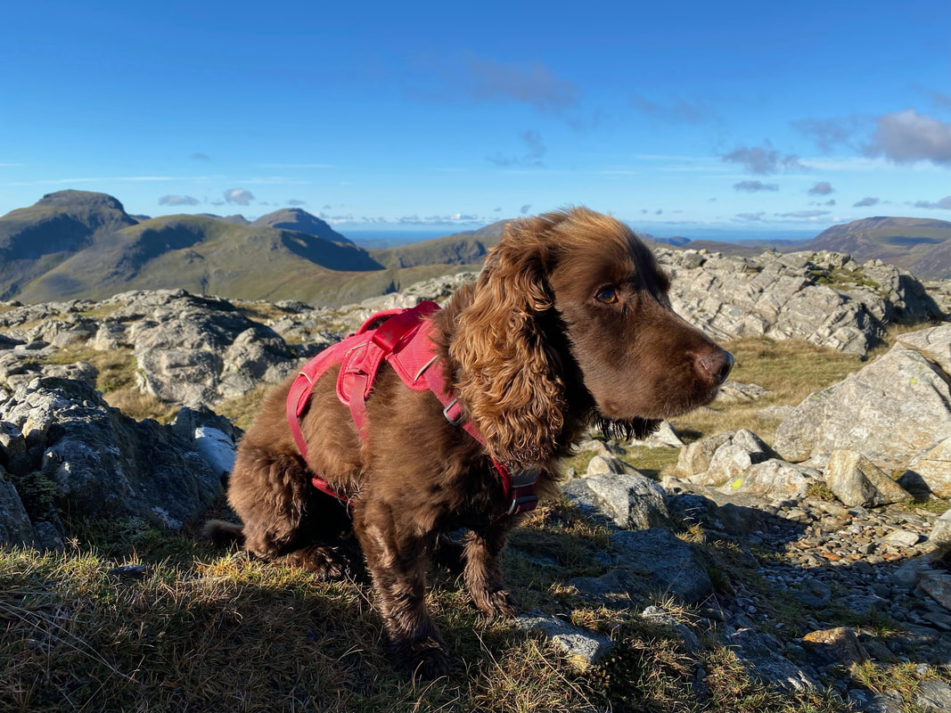
Our gorgeous boy who despite his gob was having a fantastic day on his beloved fells
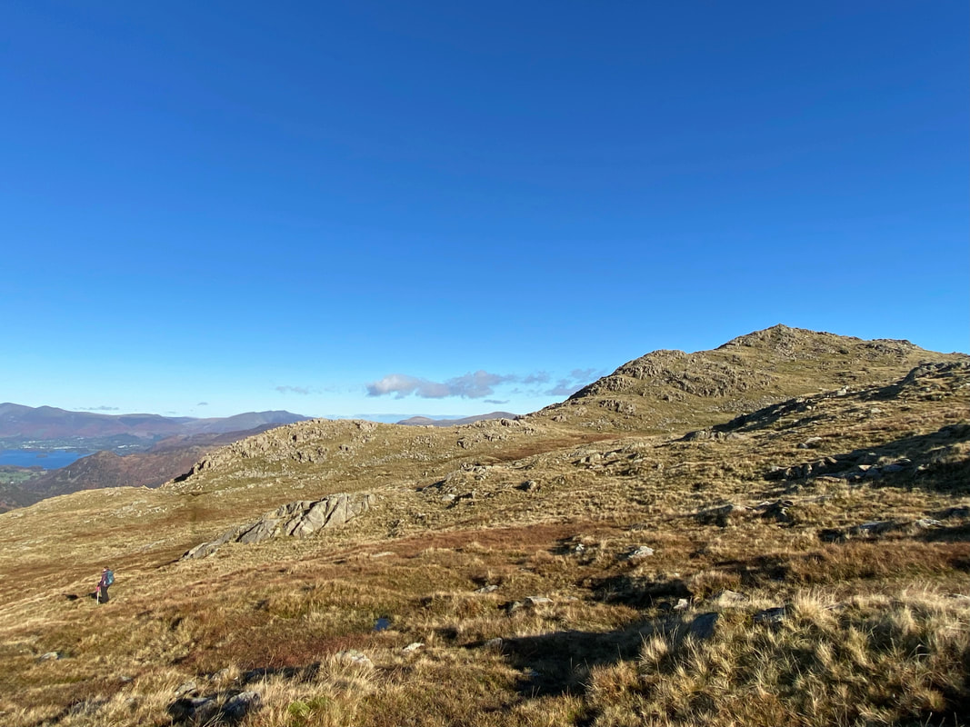
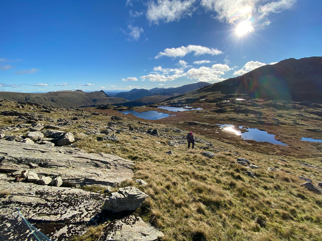
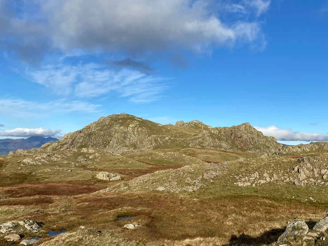
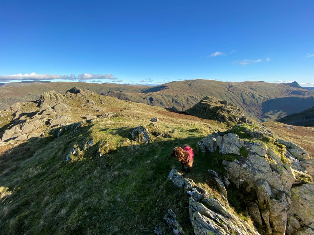
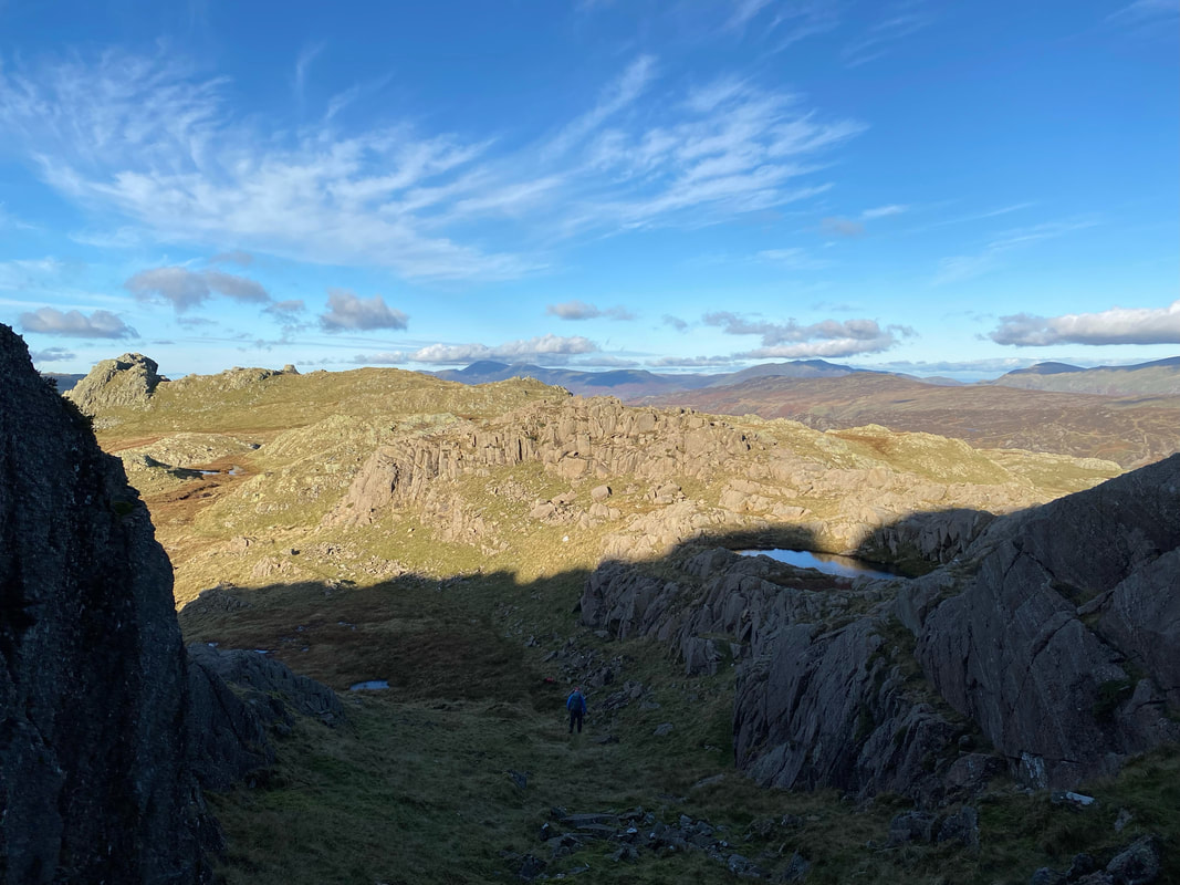
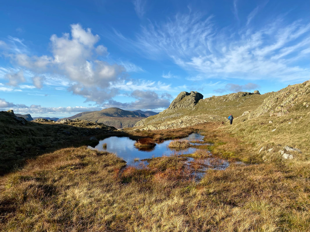
From Glaramara we descended back to the col between Combe Head and the summit via the rake that Angie used to gain the top of the fell. The col contains lots of lovely little tarns to explore. As will be seen from the remainder of the photographs, from Combe Head all the way to Bessyboot is a fantastic walk.
The summit of Combe Head
With Fudge on the summit of Combe Head
Looking back to Combe Head from the path to Combe Door
Combe Door Top from Combe Door
The descent into Combe Door from Combe Head
Combe Head & Combe Door
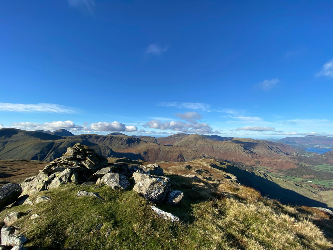
The summit of Combe Door Top and what a view
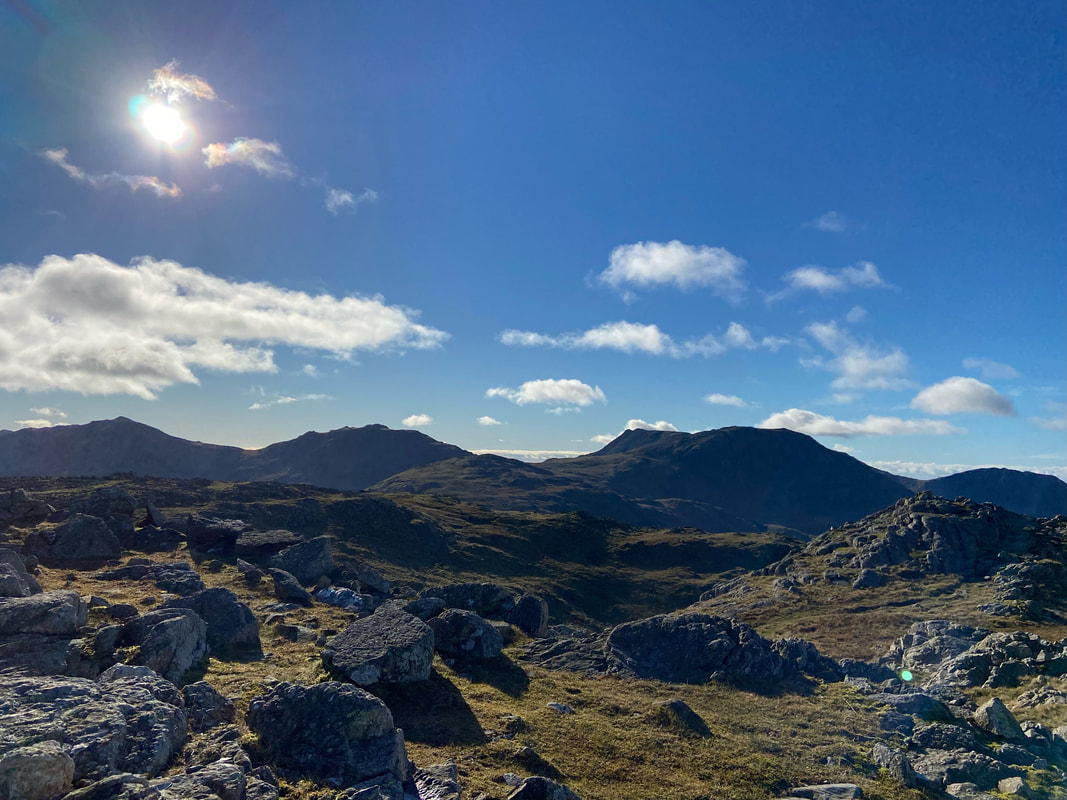
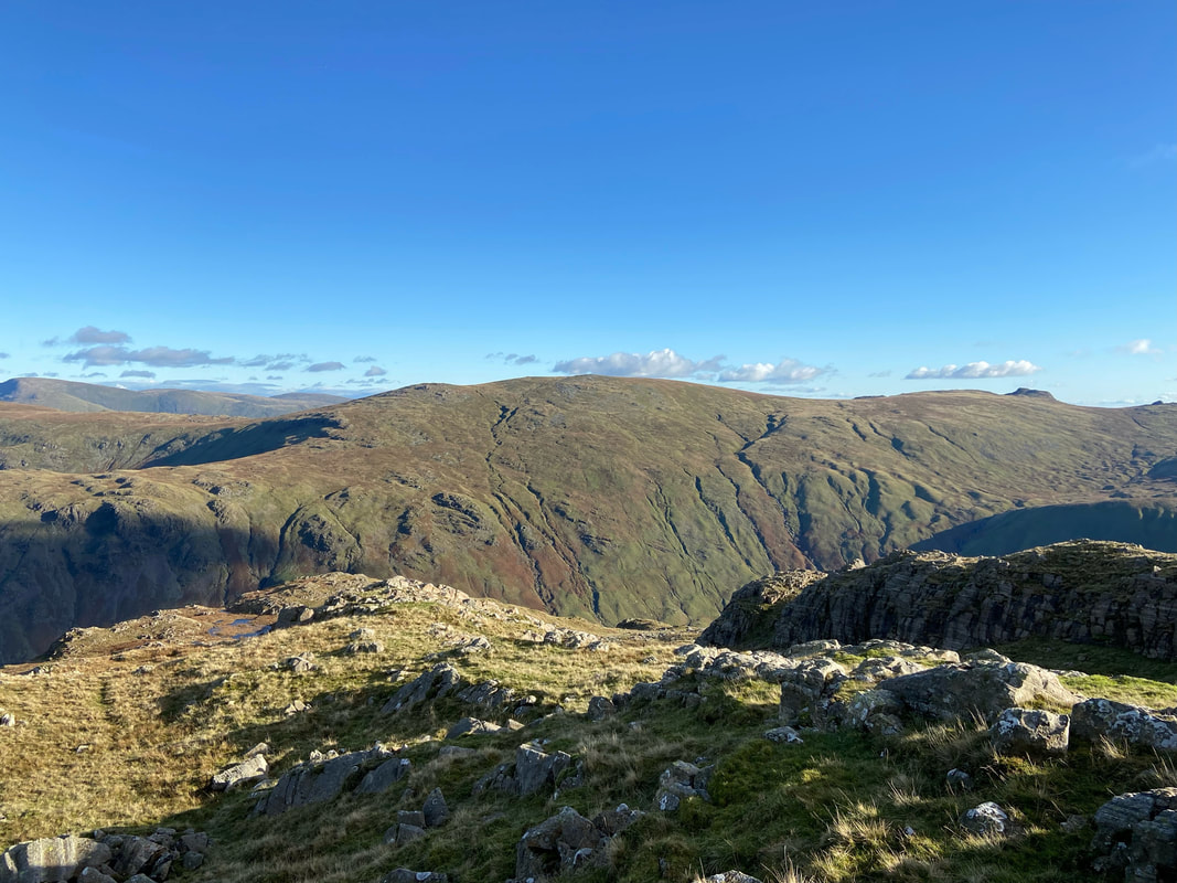
High Raise over the Langstrath valley
The Dodds & Helvellyn Range in the far distance with Fairfield to the right. The fells in the right foreground are Eagle Crag & Sergeant's Crag with Ullscarf behind them.
The route to Dovenest Top - our next summit
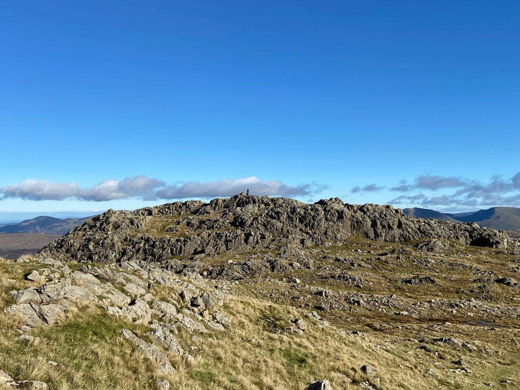
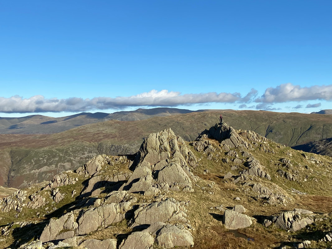
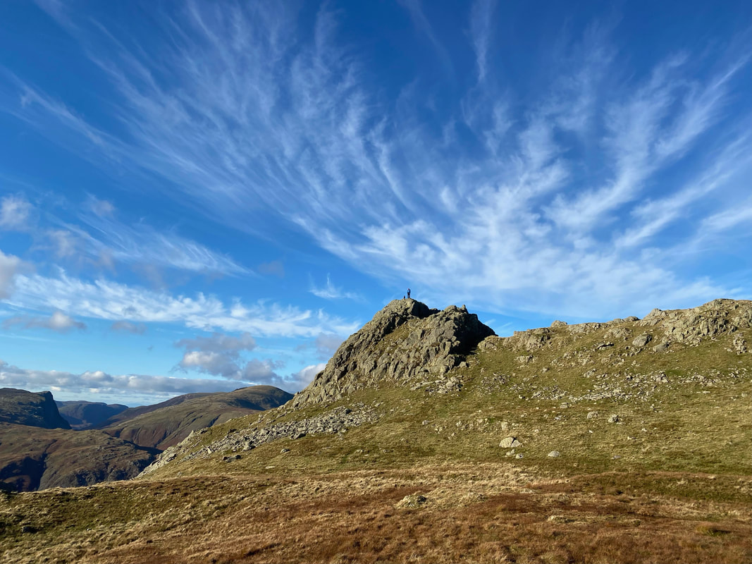
The rock outcrop that marks the summit of Dovenest Top
Dovenest Top - considering the views and the quality of the walk, it is very rare we ever see anybody else up here
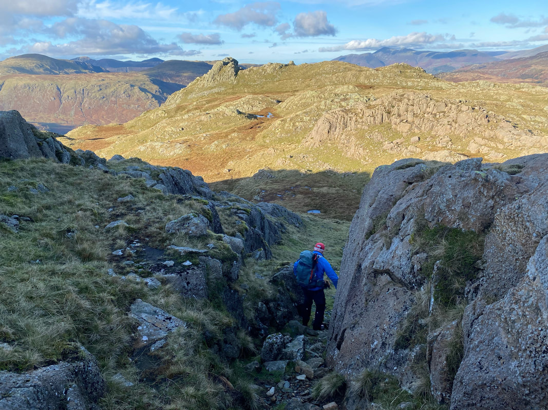
Next stop is Rosthwaite Cam which is ahead and the initial drop down from Dovenest Top is via a rocky chute
Once through the rocky chute the path widens and from here it is a fairly straightforward transit to Rosthwaite Cam
Approaching Rosthwaite Cam
With Fudge on the summit of Rosthwaite Cam
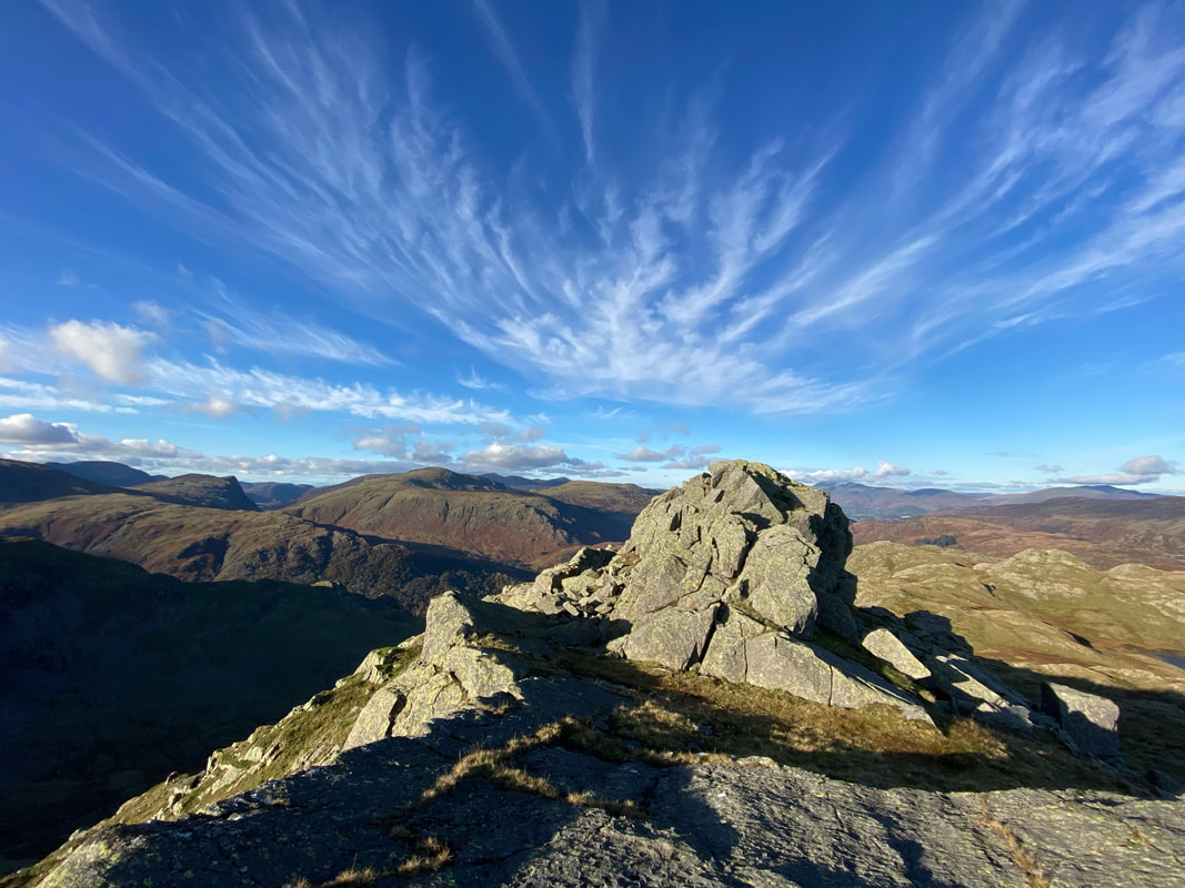
The rock tor that marks the summit of Rosthwaite Cam
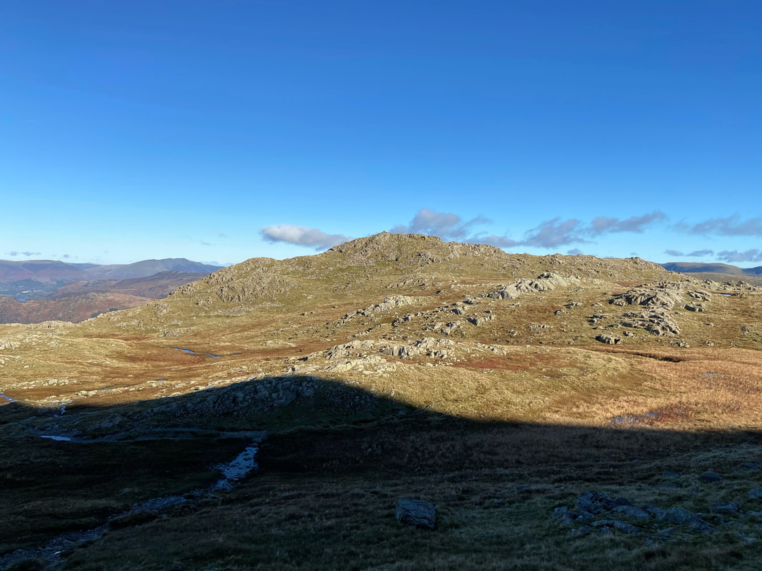
Looking back over at our route from Dovenest Top
The view to Bessyboot from Rosthwaite Cam with the very beautiful Tarn at Leaves below right
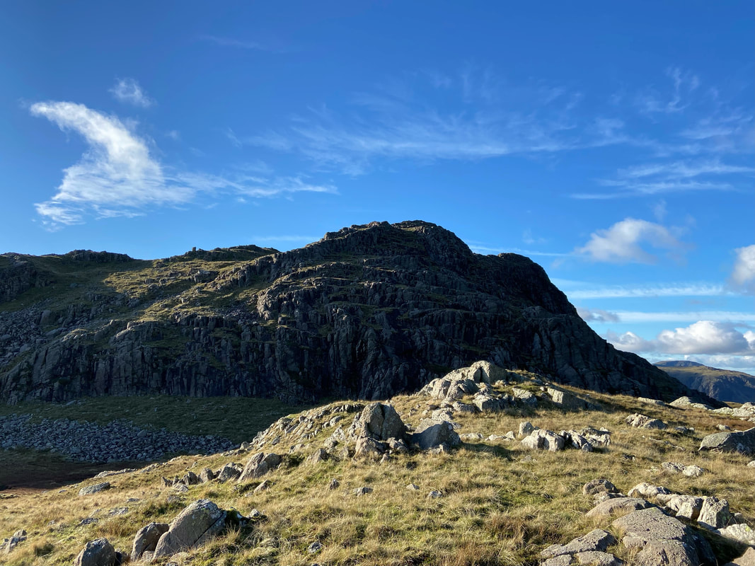
The approach to the summit of Bessyboot
Tarn at Leaves from the final climb to Bessyboot
The summit of Bessyboot (Rosthwaite Fell). Wainwright said that Rosthwaite Fell "is rather a dreary place when compared with more worth-while objectives all around" (Rosthwaite Fell 1). I am afraid I would have to disagree with the great man on this occasion.
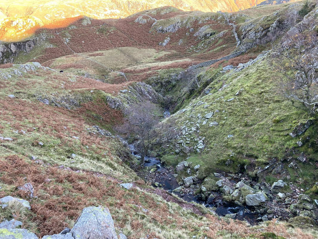
From Bessyboot the route handrails Big Stanger Gill virtually all the way back down to the valley floor
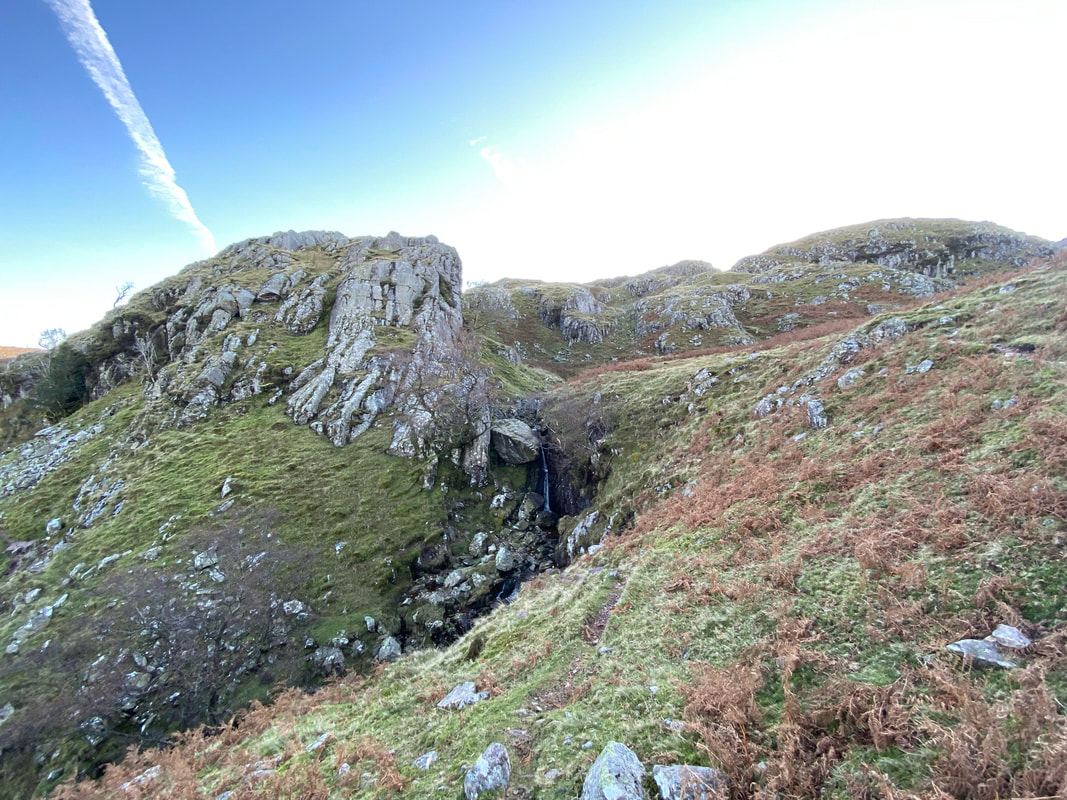
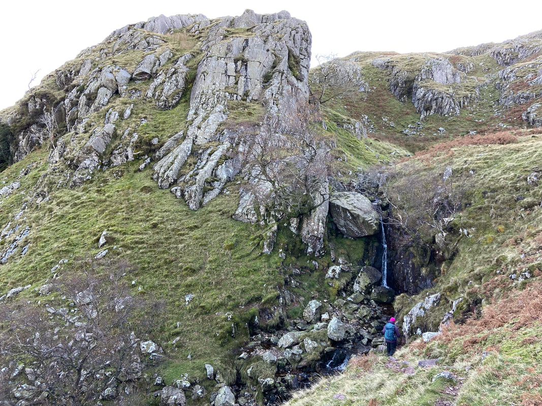
The route swings back on itself to head to the base of a small waterfall which is at Grid Reference NY 26401 12744
The path crosses the gill out of shot just below the waterfall and to the left of where Angie is
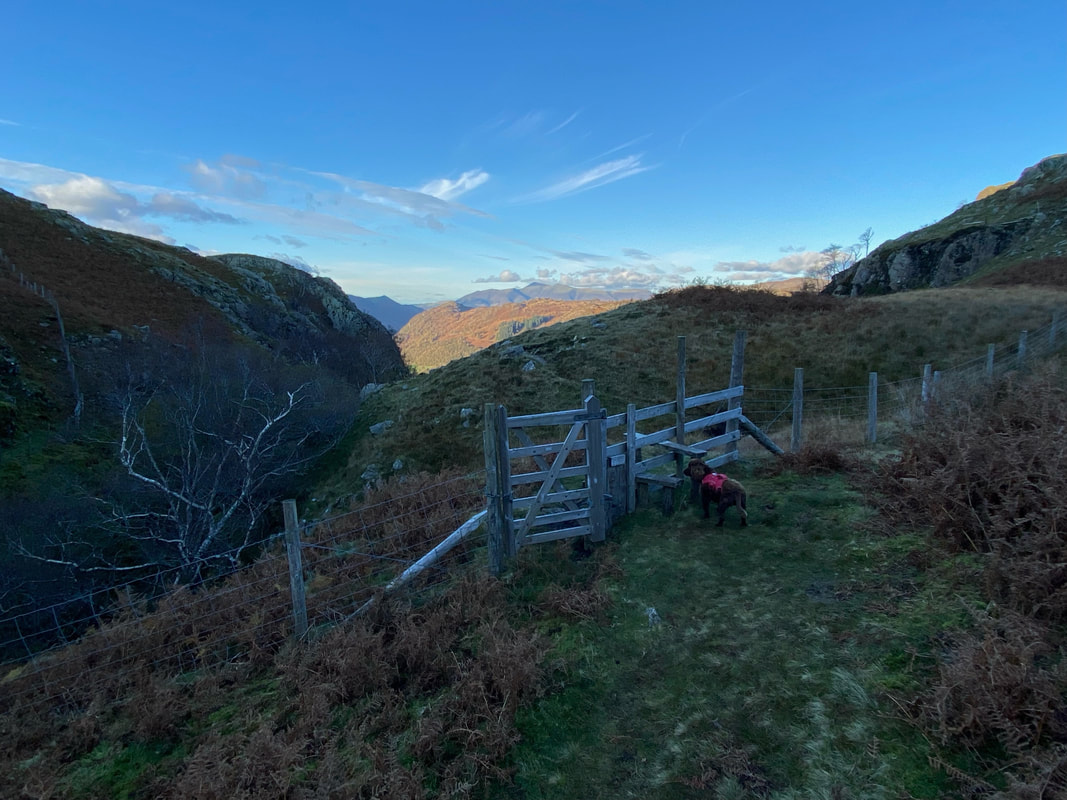
From the waterfall a hand gate and stile are reached at the top of the ravine of Big Stanger Gill
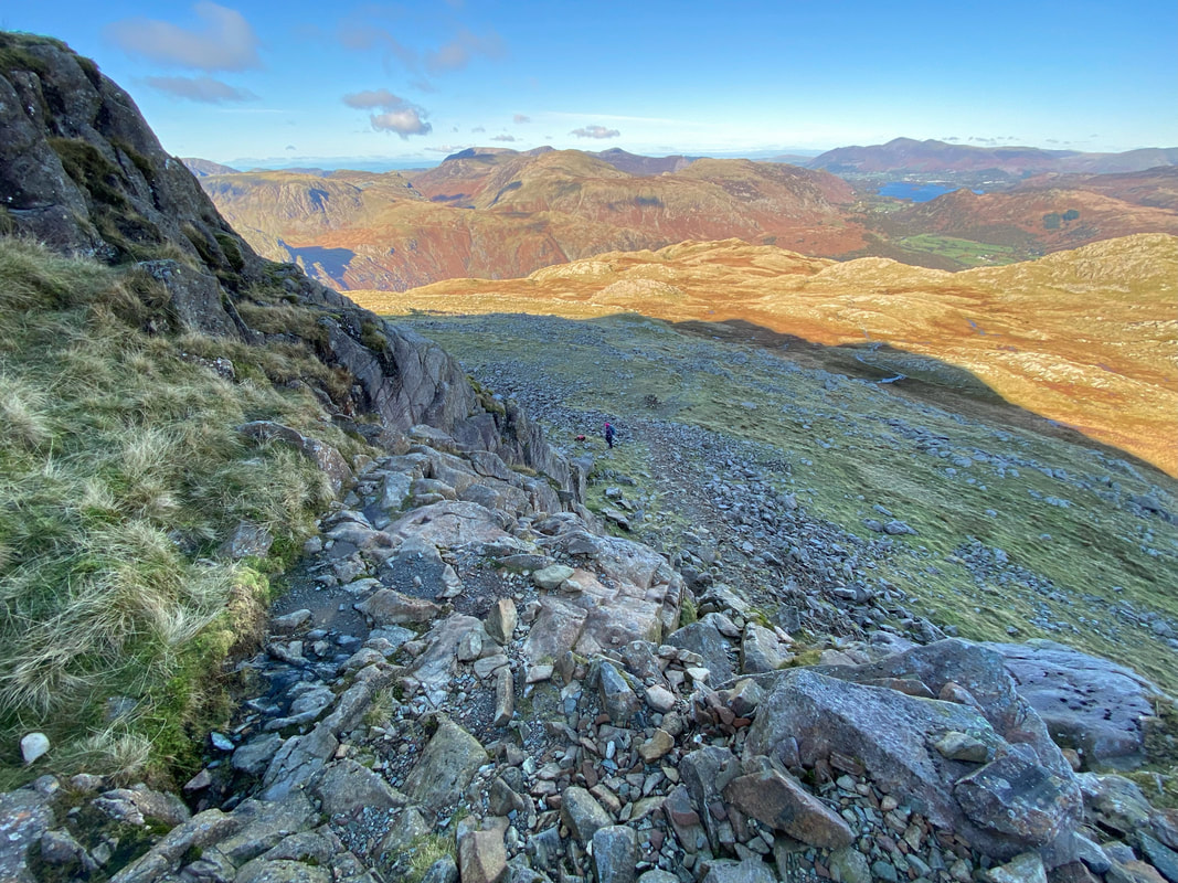
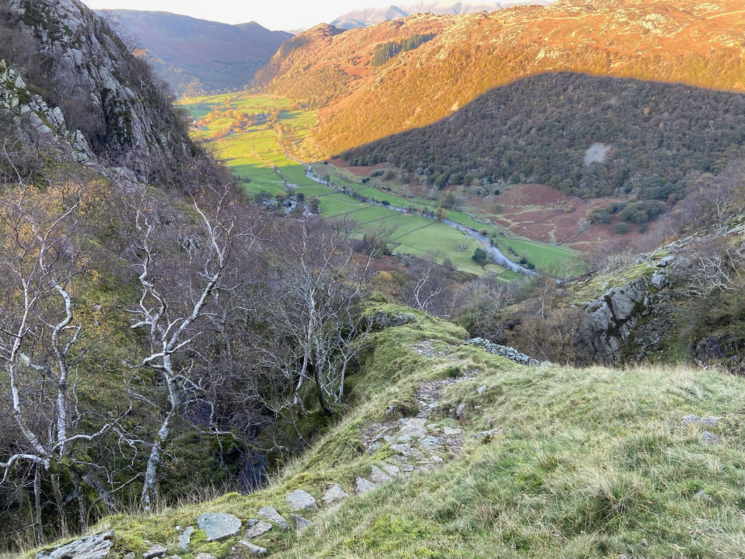
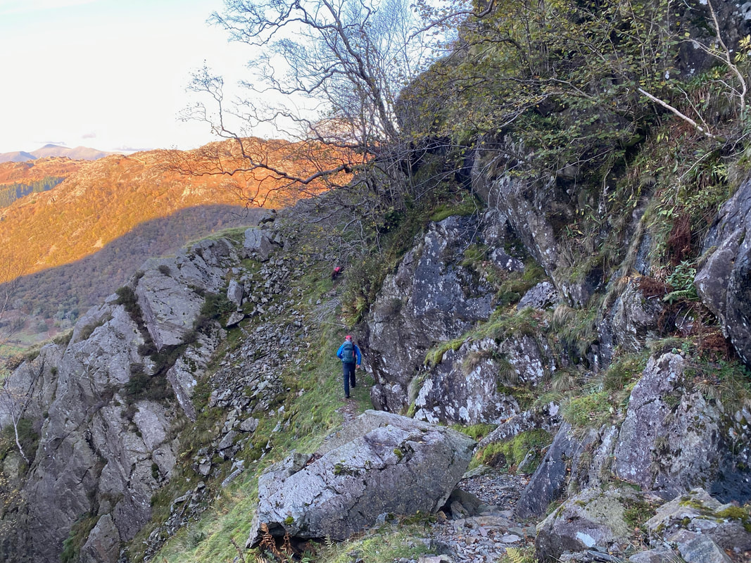
With the ravine below to the left the descent becomes extremely steep but on a good path. Care needs to be taken, however it is just a question of taking ones time on this section.
A little respite from the steepness as the path continues through a rocky col
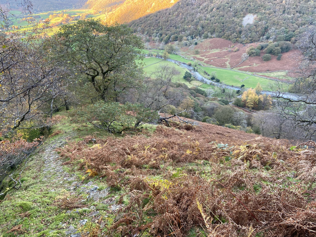
Almost down now with the valley floor now in sight
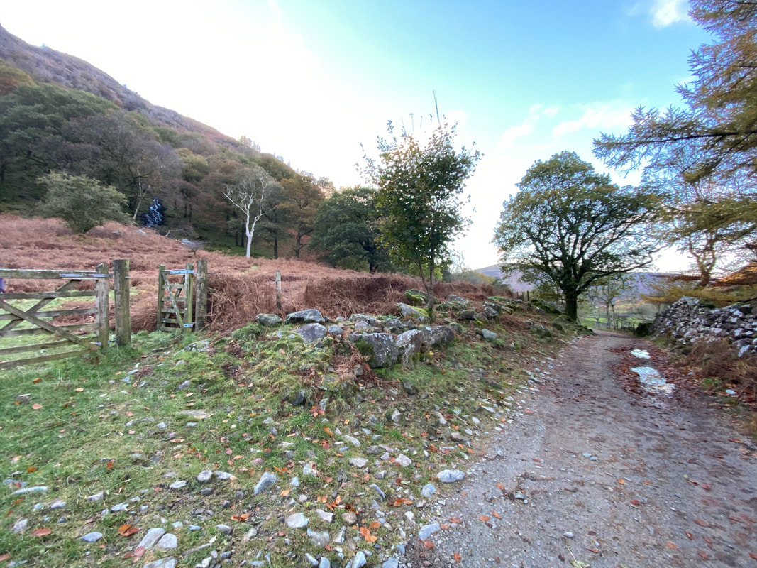
The route finally reaches the valley floor and the rough access lane to Stonethwaite Campsite which is behind me
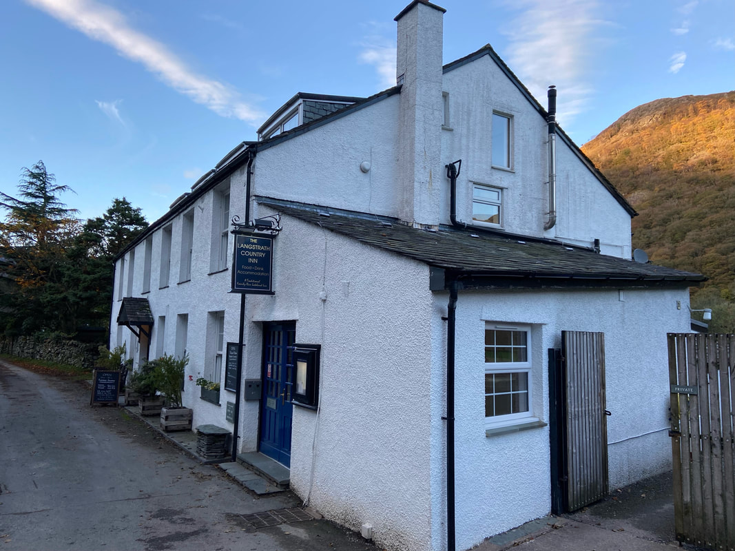
At the end of the rough lane a tarmac road is joined by The Langstrath Country Inn. We didn't stop at the pub having had a bad experience here last time we passed through.
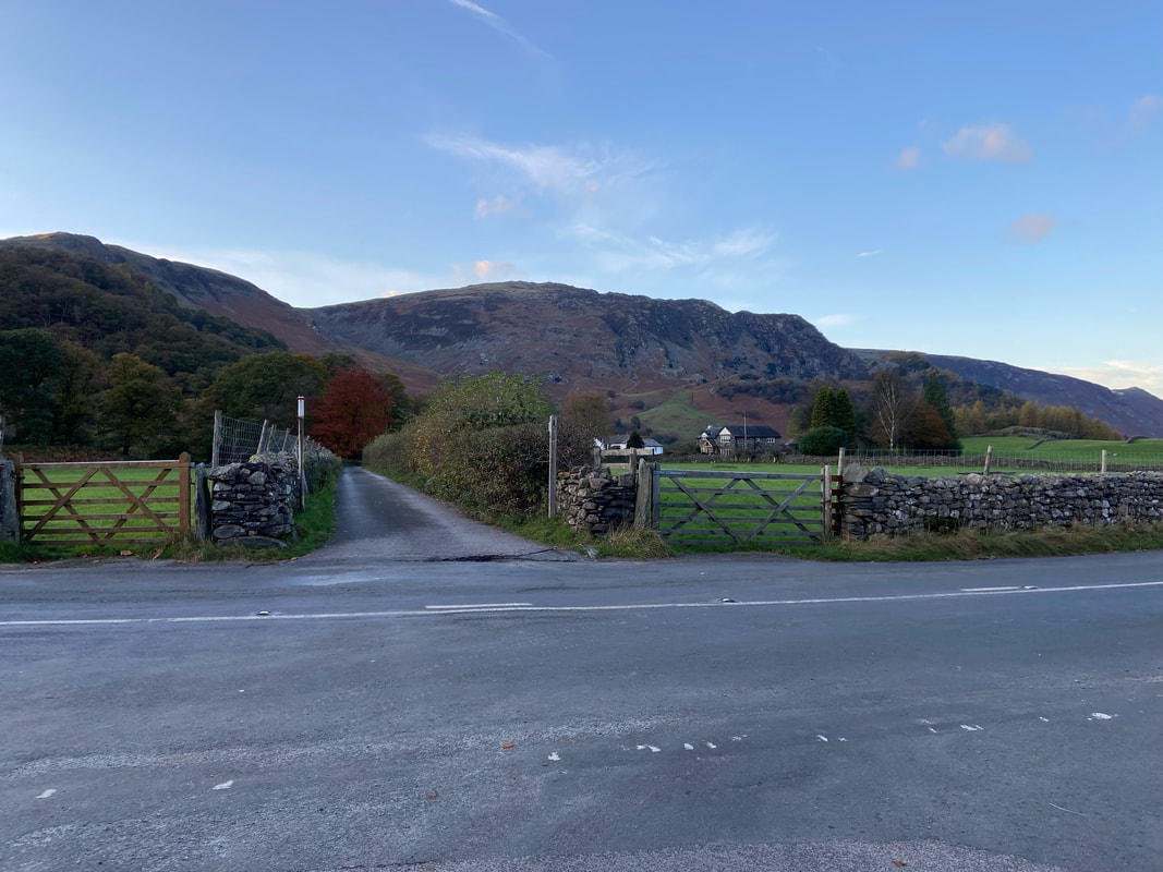
Once we had walked through the village of Stonethwaite we arrived at the B5289. We crossed the road and headed down the lane opposite which leads to Peat Howe. From there it was a simple case of retracing our outward route.
