Blencathra & Mungrisdale Common - 17 January 2023
Route
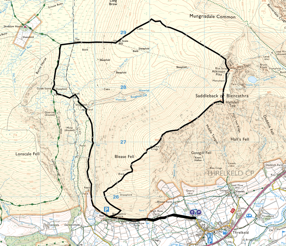
Threlkeld - Blencathra Centre - Blease Fell (Knowe Crags) - Gategill Fell - Blencathra - Cross - Atkinson Pike - Mungrisdale Common - Cloven Stone - The Stake - Cumbria Way - Sinen Gill - Roughten Gill - Blencathra Centre - Threlkeld
Parking
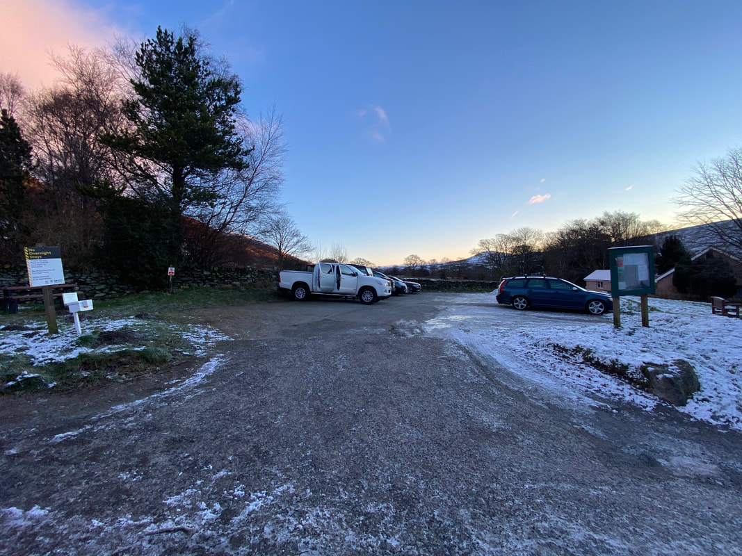
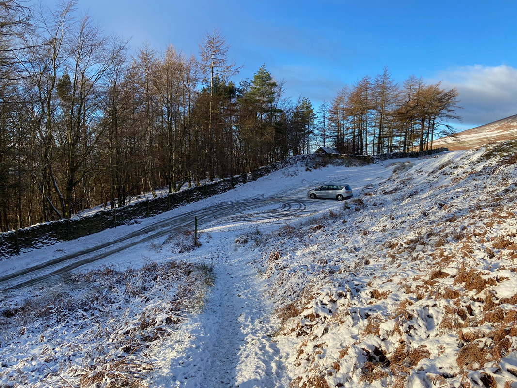
There are many options for parking in Threlkeld however due to the icy road conditions we parked on Blease Road in a small Car Park (Donation) 200 yards north of the school - Grid Reference NY 31853 25599 and the nearest postcode is CA12 4SD. Normally for an ascent of Blencathra via Blease Fell we would park above the Blencathra Centre (free) at Grid Reference NY 30267 25643, nearest postcode is CA12 4SG.
Mileage
9.8 miles
Terrain
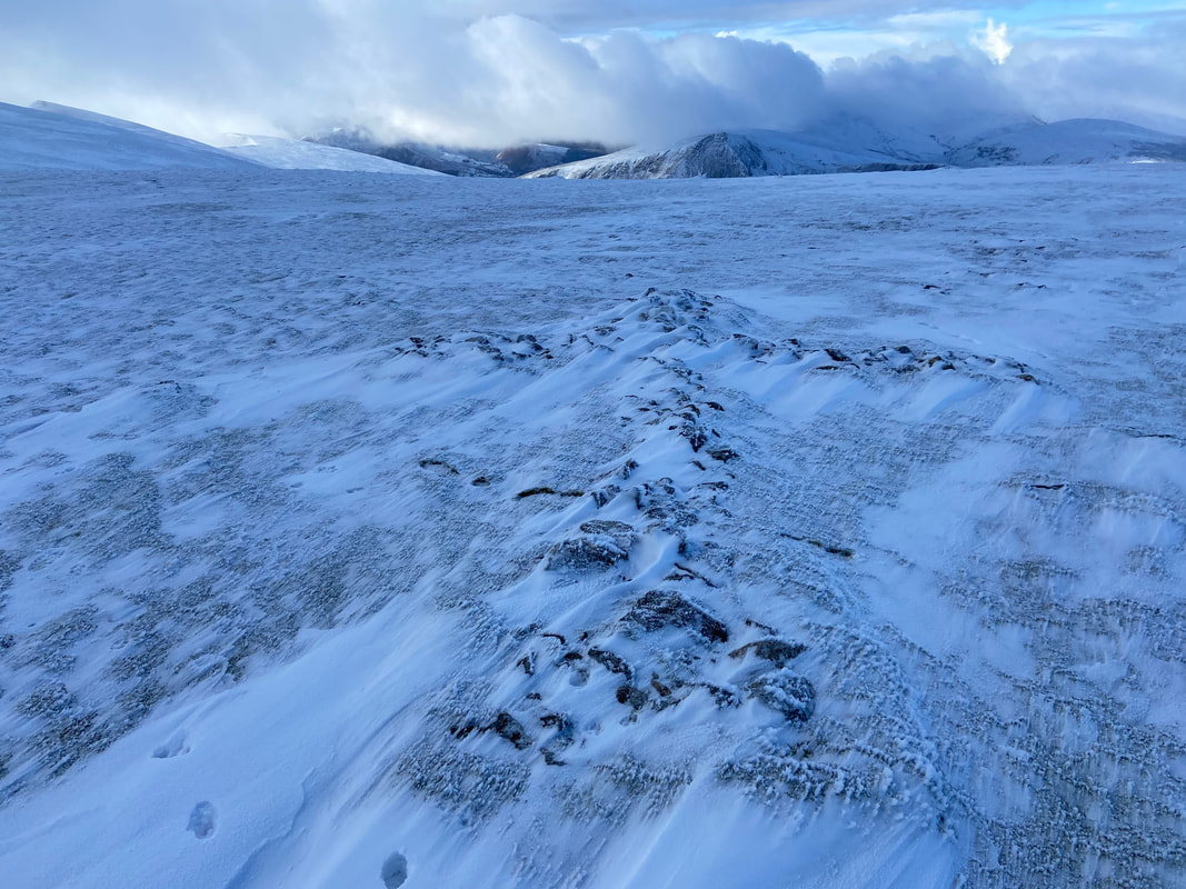
Good mountain paths throughout although some parts were covered in snow. Whilst the conditions were tricky underfoot, our micro spikes stayed in the rucksack today.
Weather
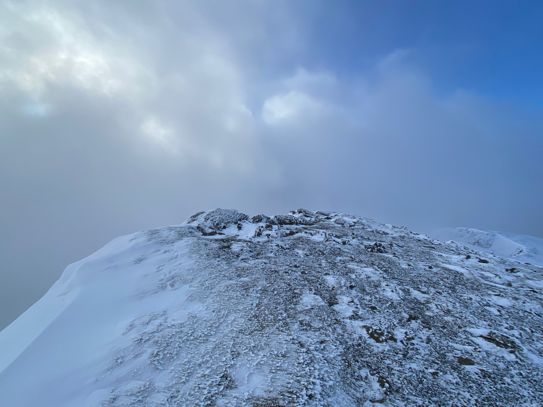
Extremely cold but gloriously sunny for most of the day. There was some low cloud on Blencathra's summit but this soon cleared.
Time Taken
6hrs 20mins
Total Ascent
2411ft (735m)
Wainwrights
2
Map
OL5 - The English Lakes (North Eastern Area)
Walkers
Dave, Angie & Fudge with Nicky Oliver. By chance, our friend Richard Jennings also made a guest appearance on the summit of Blencathra.
|
GPX File
|
| ||
If the above GPX file fails to download or presents itself as an XML file once downloaded then please feel free to contact me and I will send you the GPX file via e-mail.
Route Map
As explained in the walk details we would not normally start an ascent of Blencathra via Blease Fell from here. The roads were extremely icy beyond this point therefore we decided to err on the side of caution and not risk sliding all over the road. The Car Park fee is paid for via a donation, the details of which are located on the white box to the left.
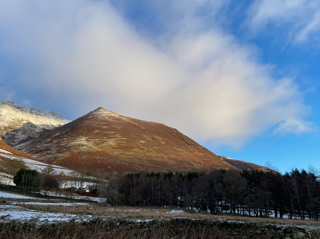
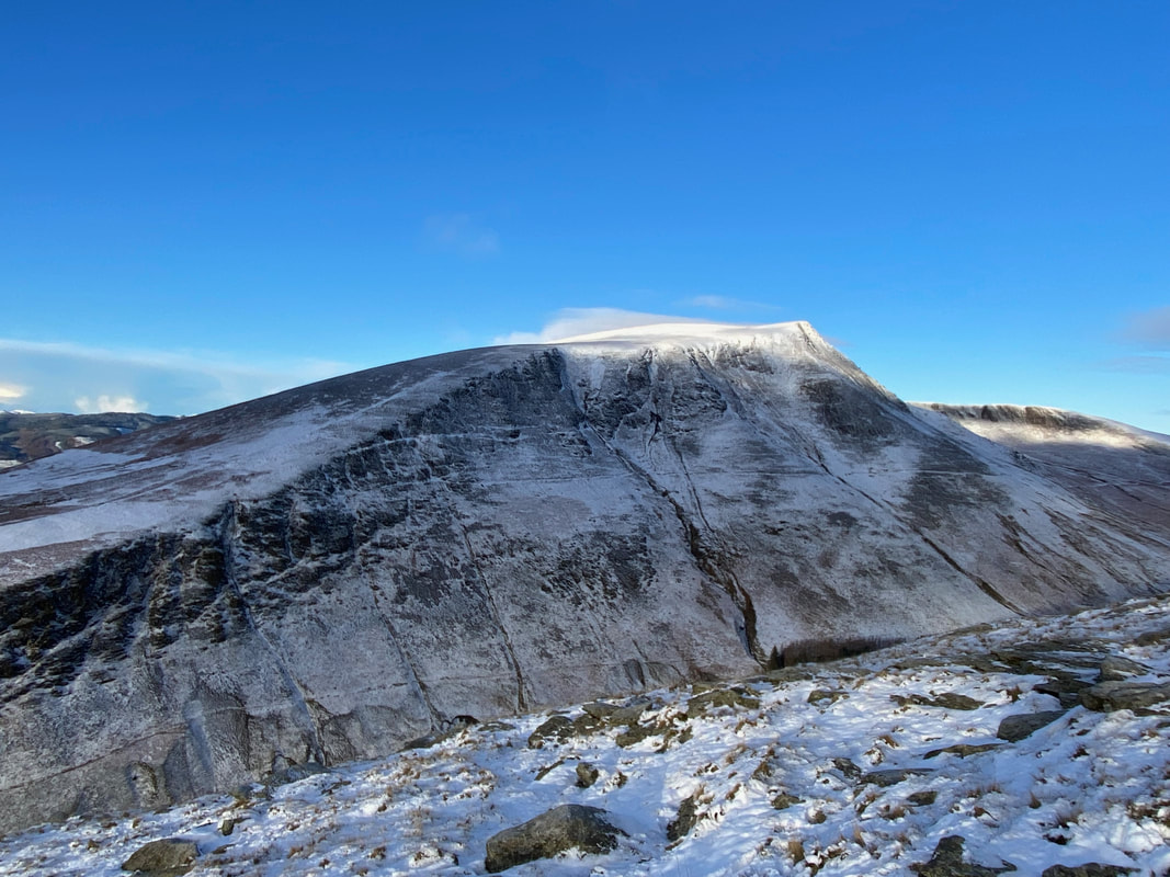
The route to Knott Halloo on Gategill Fell. We have been meaning to climb Blencathra via this route for a long time and must rectify that soon.
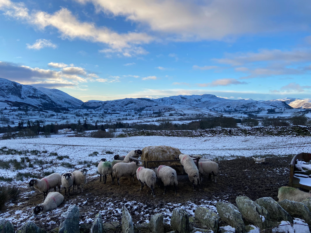
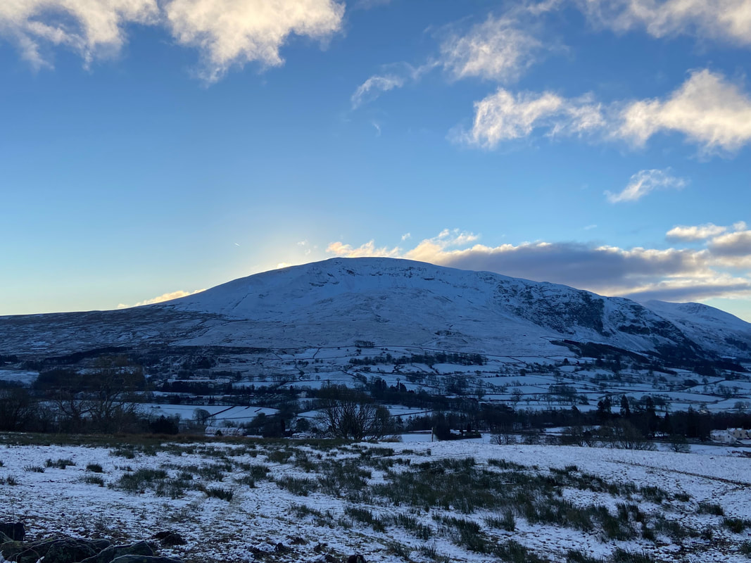
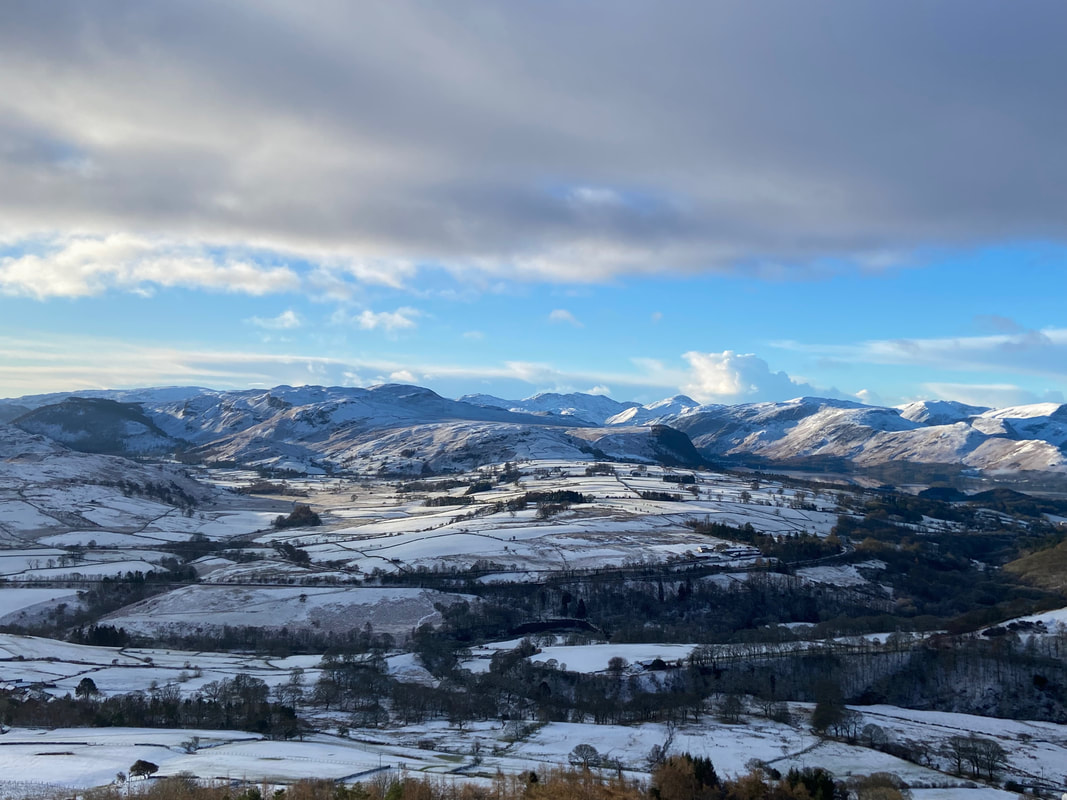
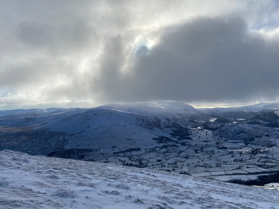
Feeding time for the locals as we look over to St John's in the Vale
Clough Head
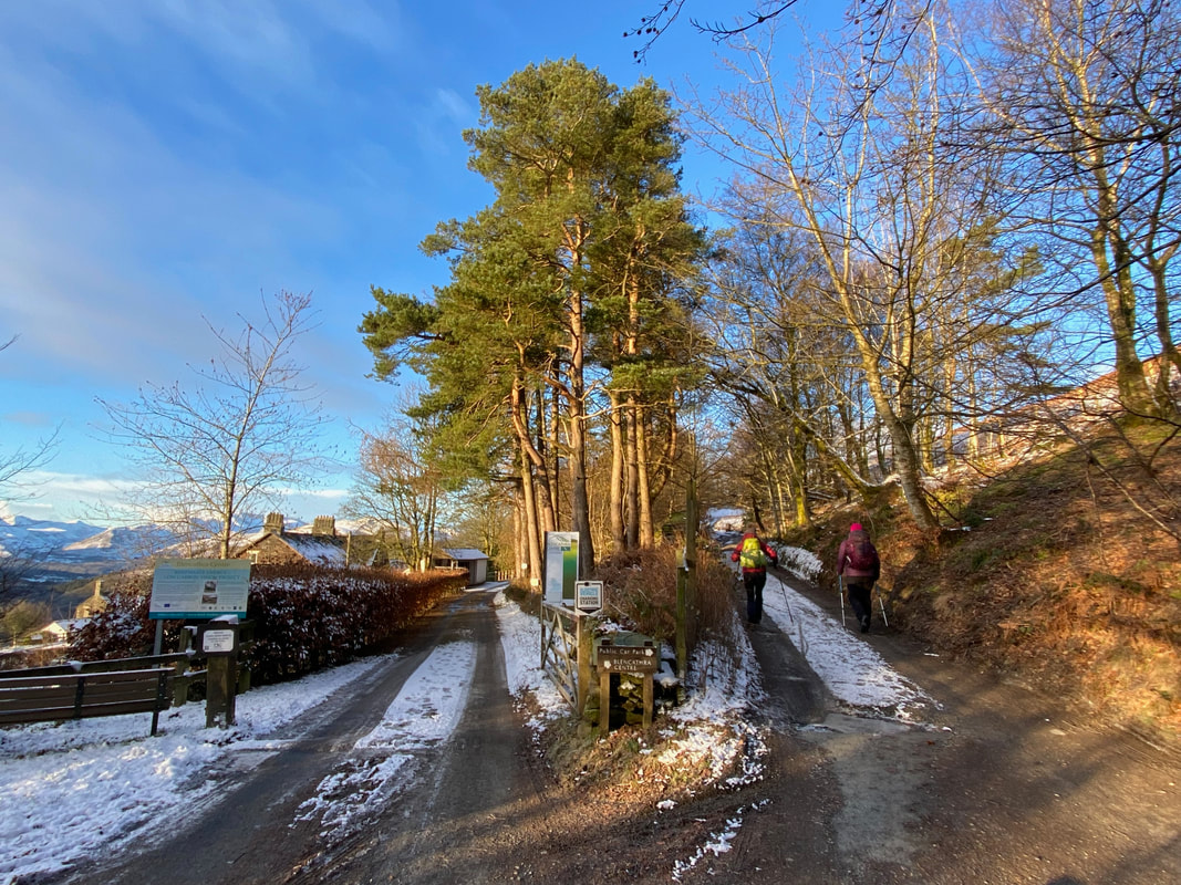
At the top of Blease Road the Blencathra Field Centre is reached whereby we took the right hand fork up towards the small parking area
The facility has not always been a Field Studies Centre. In 1904 the Blencathra Sanitorium was opened by the Countess of Lonsdale as a facility for the Prevention of Consumption and Tuberculosis (TB). By the 1940s with TB in decline, it became a long stay home for the elderly. By 1975 the hospital was empty and was therefore offered up for sale to the Lake District National Park who converted it into a hostel for visitors. In 1994 it was transformed into its present day use as a Field Studies Centre.
The facility has not always been a Field Studies Centre. In 1904 the Blencathra Sanitorium was opened by the Countess of Lonsdale as a facility for the Prevention of Consumption and Tuberculosis (TB). By the 1940s with TB in decline, it became a long stay home for the elderly. By 1975 the hospital was empty and was therefore offered up for sale to the Lake District National Park who converted it into a hostel for visitors. In 1994 it was transformed into its present day use as a Field Studies Centre.
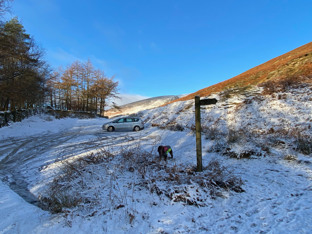
The Car Park above The Blencathra Centre which on any other day would be the start point for this walk. I think our decision to start lower down in the village was justified - the parking area was like an Ice Rink. A way marked sign points the way up the lower slopes of Blease Fell.
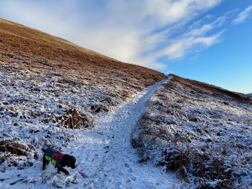
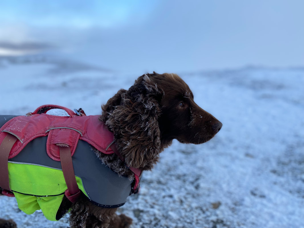
Fudge pokes the snow with his paw as we start our ascent of Blease Fell
Looking back down to the Car Park from the initial part of the ascent
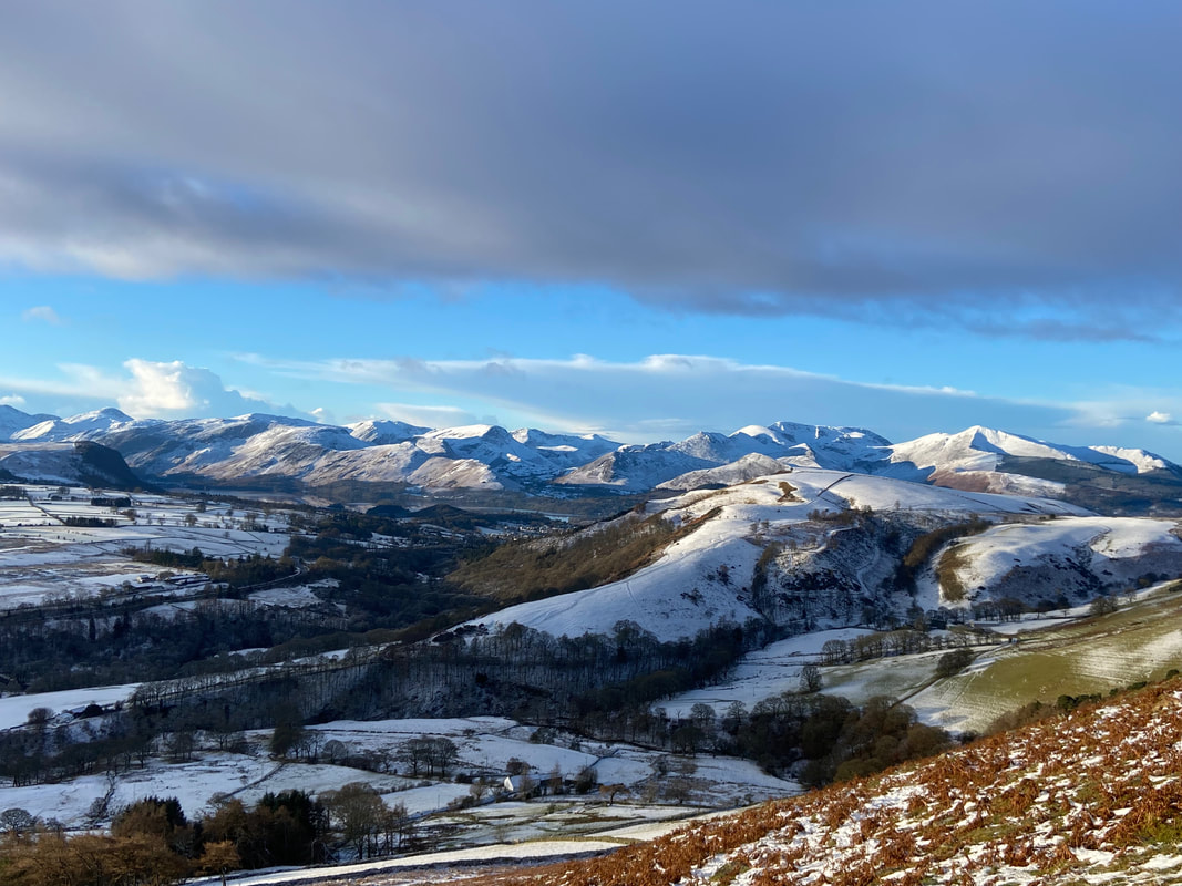
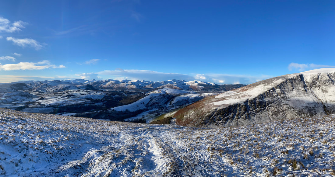
It didn't take much climbing until the North Western Fells revealed themselves - what a view that is
The glorious view to the west from the ascent of Blease Fell
Lonscale Fell over the Glenderaterra Valley with the ridge of Burnt Horse to the right
Continuing up the ascent of Blease Fell looking to the North Western Fells
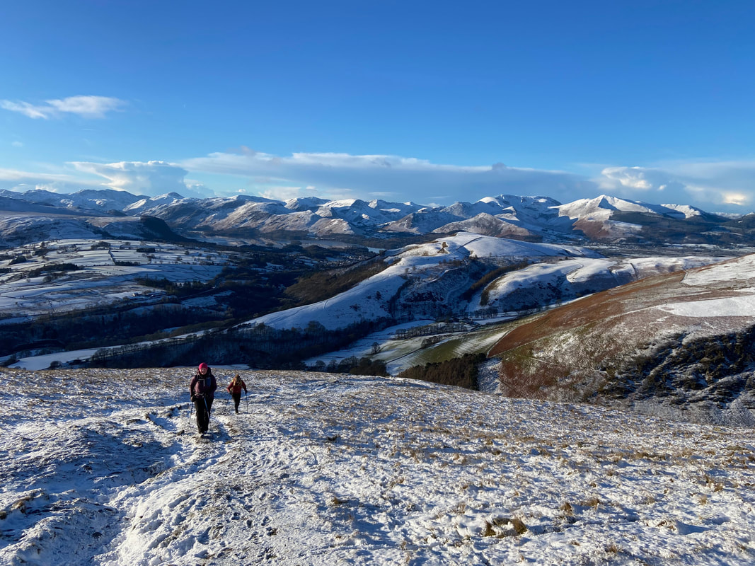
Angie & Nicky on the ascent of Blease Fell - and what a backdrop
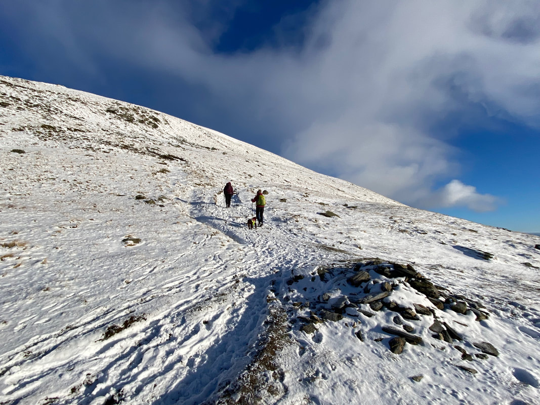
Shortly after the large cairn the path continues in the same direction for a short distance and then turns left to zig zag up the fell side
From the zig zags Skiddaw now comes into view over the top of Lonscale Fell with Grisedale Pike to the left
Looking to the Far Eastern Fells over to the left with Clough Head, The Dodds and Helvellyn in the centre
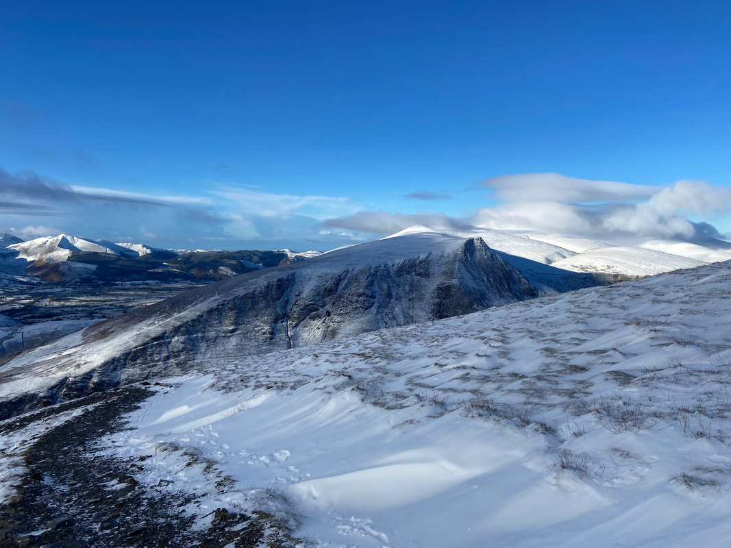
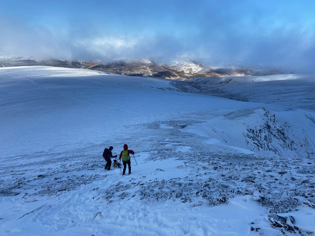
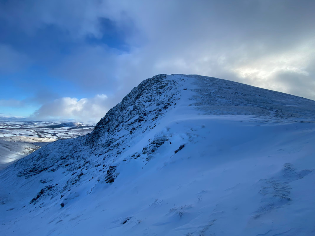
Knowe Crags, the summit of Blease Fell looking to Gategill Fell, Blencathra & Atkinson Pike
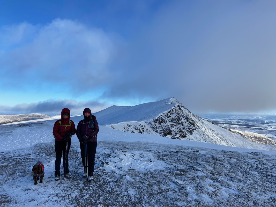
Fudge, Nicky & Angie snug as bugs in rugs on the summit of Blease Fell
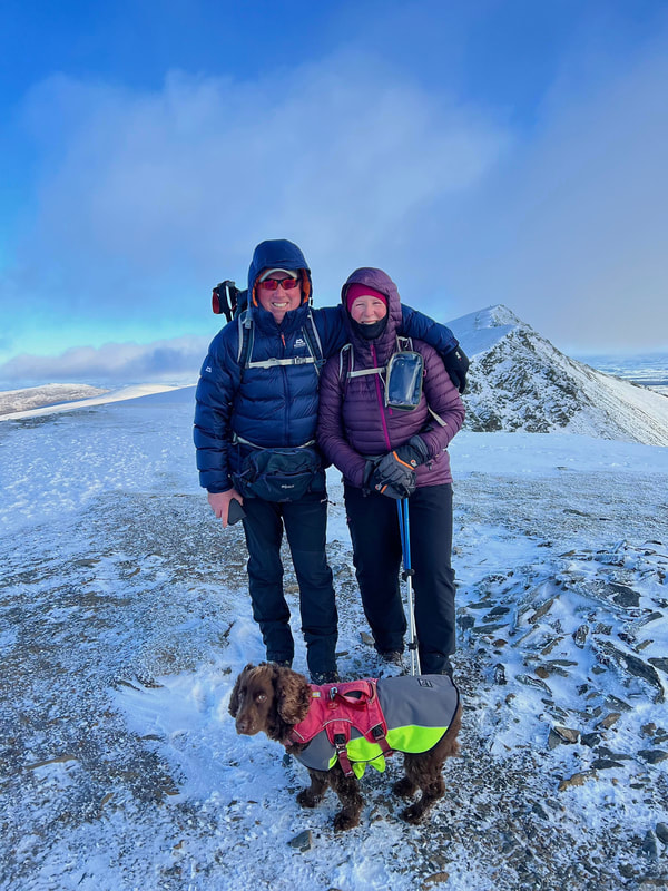
A rare family pic - even Fudge can't believe we are all in the same photo
(photograph courtesy of Nicky Oliver)
(photograph courtesy of Nicky Oliver)
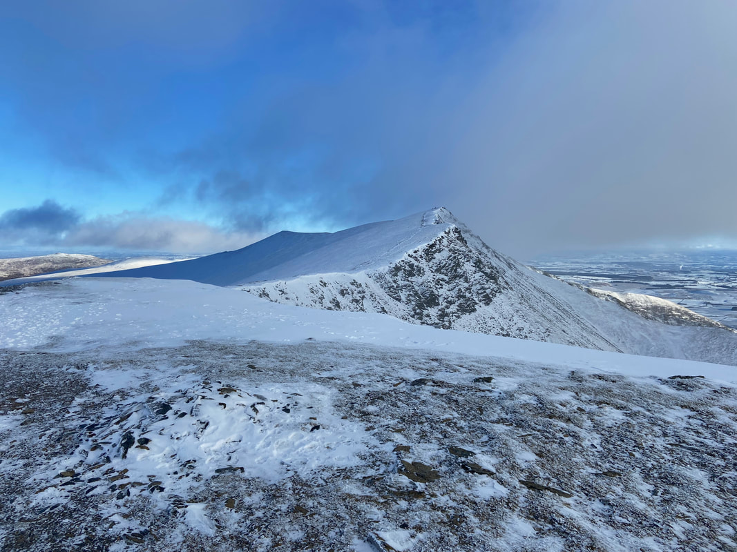
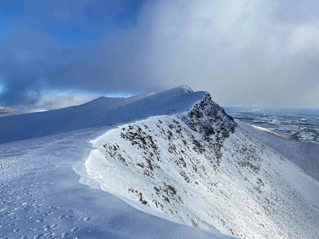
I have been up on this ridge more times than I care to mention and it is always a delight to walk along it. As can be seen, there are snow cornices on the edges therefore as always, care needs to be taken around this terrain.
Looking back to Knowe Crags - at this point wispy cloud threatened to spoil our fun however it came and went thankfully
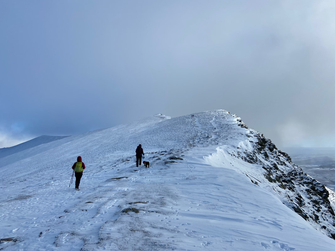
Heading for Gategill Fell and then on to Blencathra
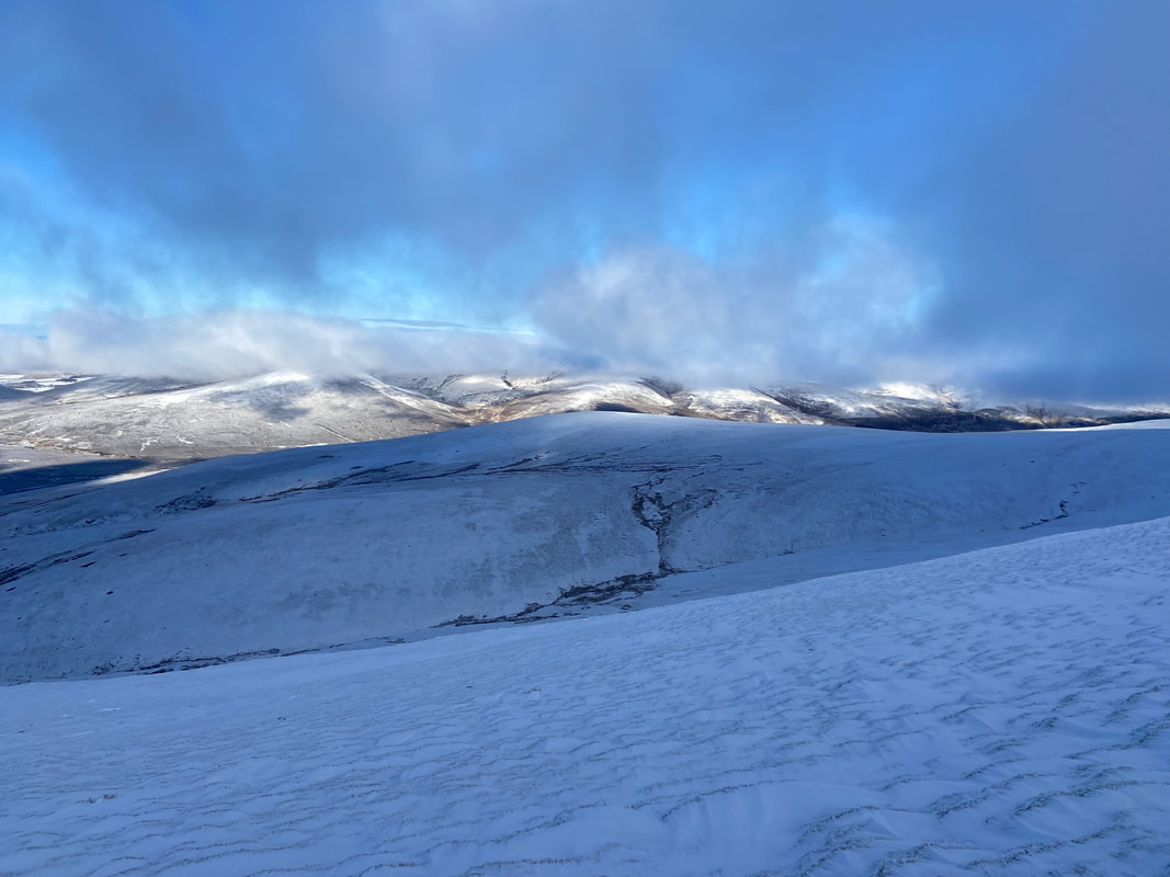
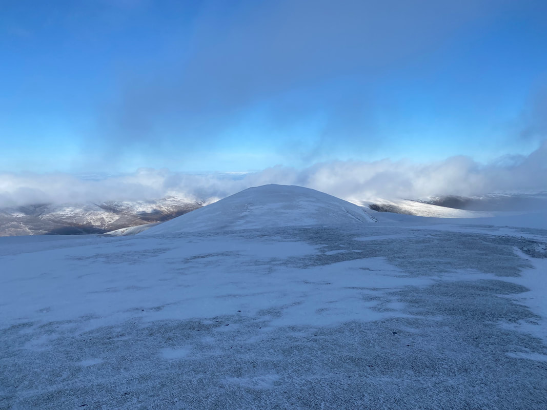
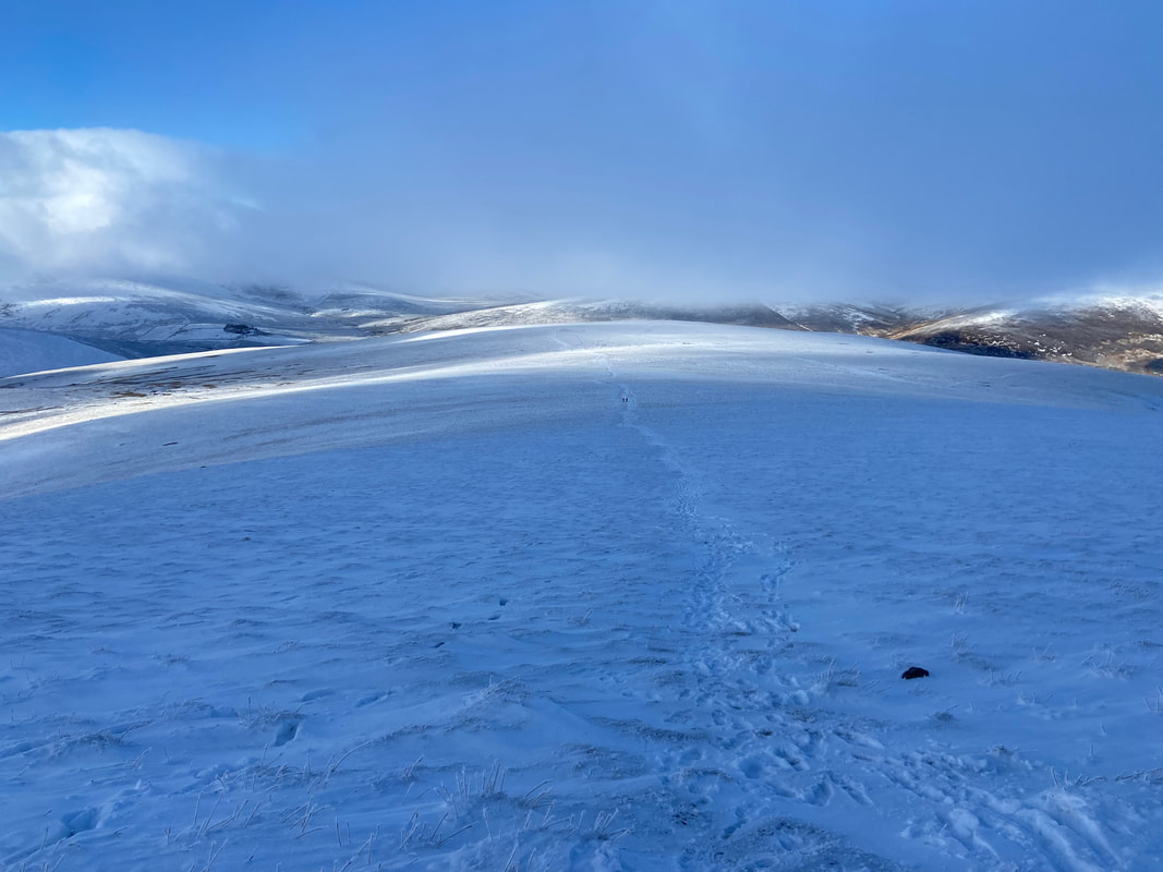
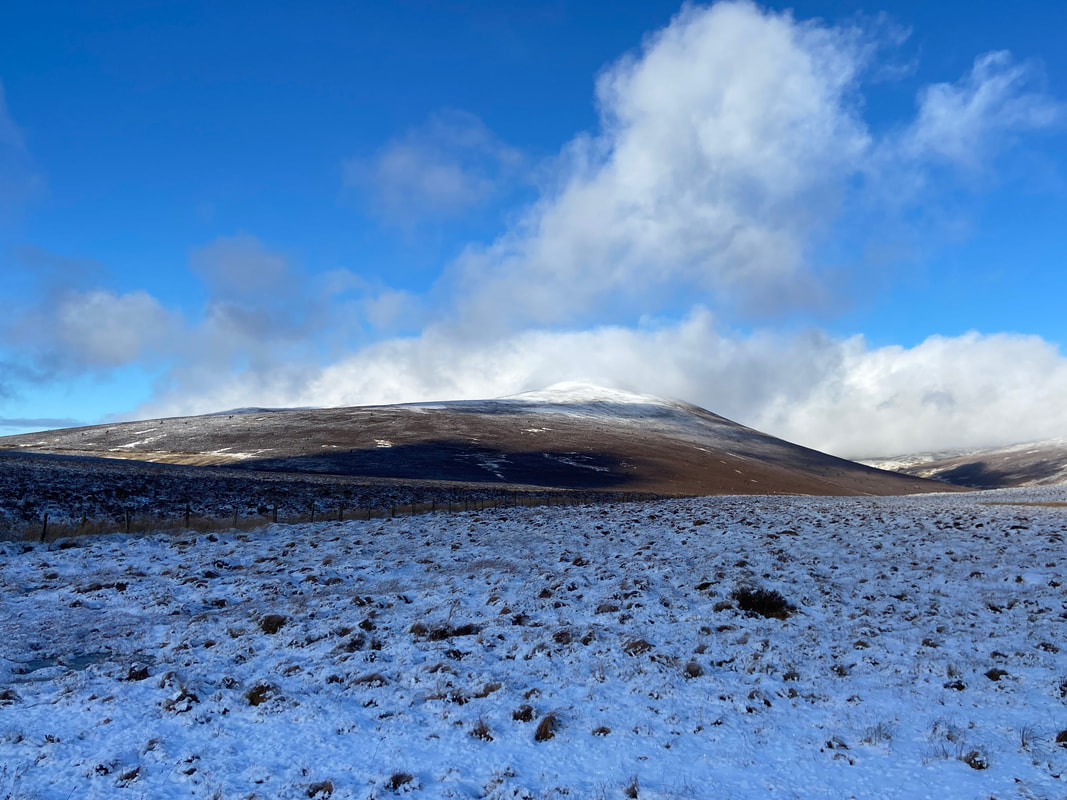
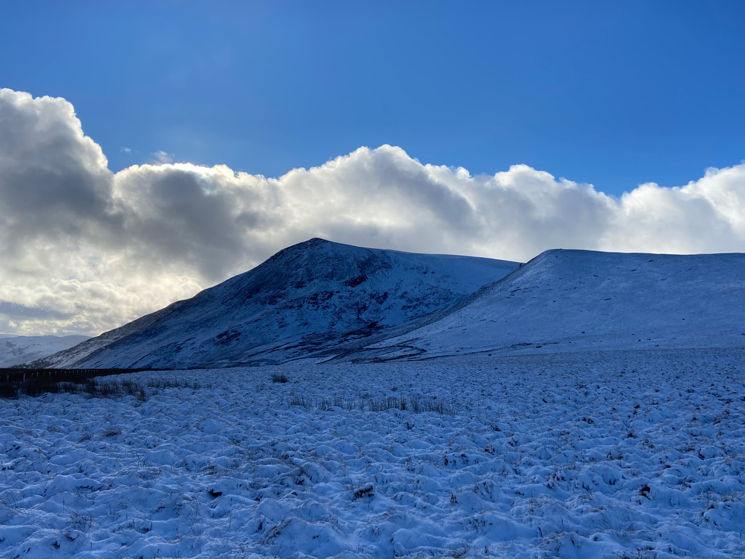
The much maligned Mungrisdale Common from the approach to Gategill Fell. Slightly in cloud are Great Calva, Knott, High Pike & Carrock Fell.
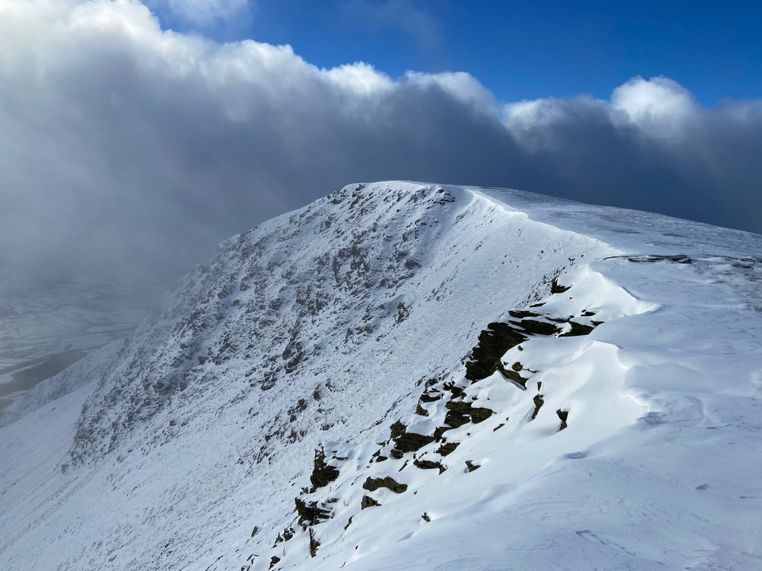
The summit of Gategill Fell. If ascending via Knott Halloo this would be the point at which you would reach the ridgeline.
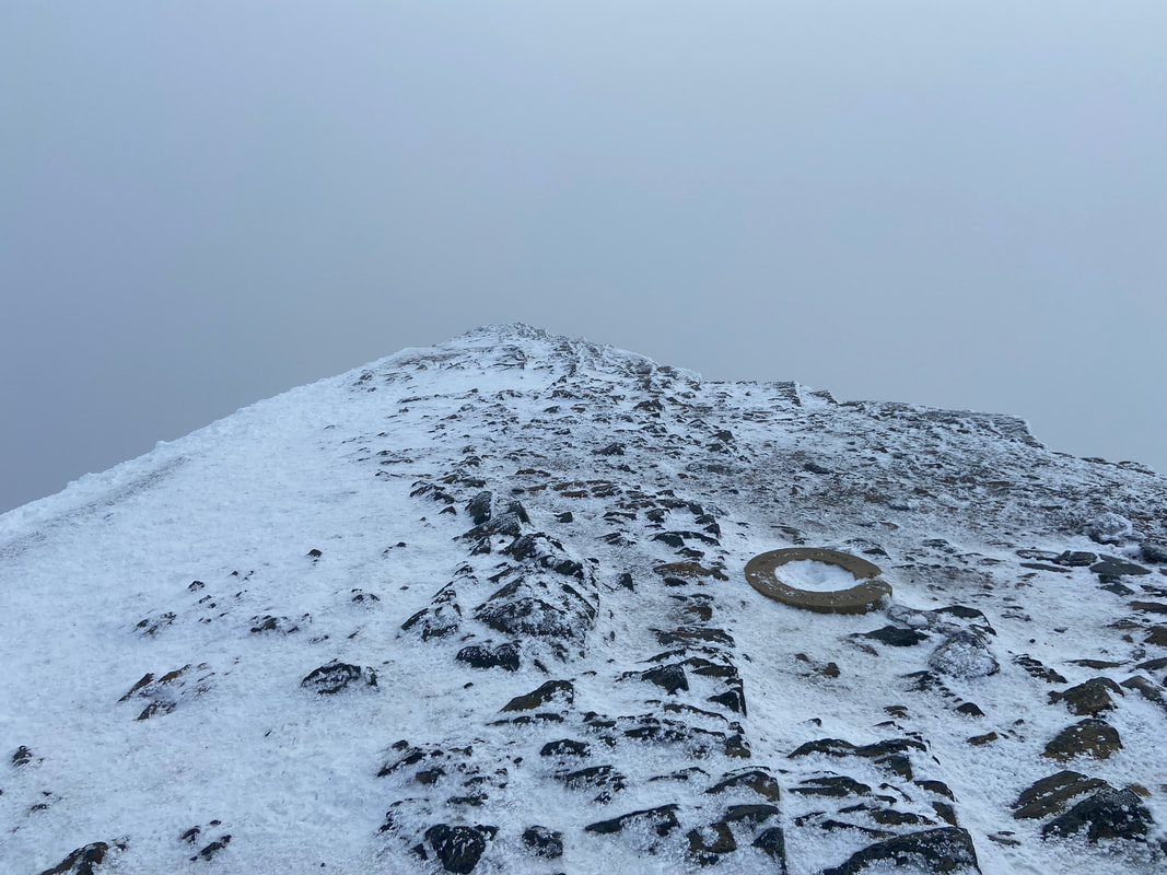
Hallsfell Top, the summit of Blencathra marked by the replacement Trigonometric Station Ring which is sadly starting to break up. The original ring was vandalised and stolen a few years ago - why oh why can't people just leave things alone.
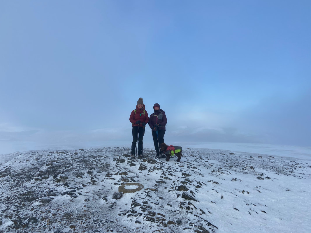
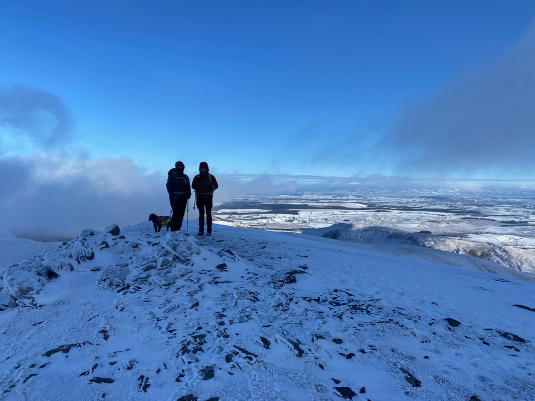
Nicky, Angie & Fudge on the summit of Blencathra - we had the summit to ourselves for a while but someone was about to spoil that!!
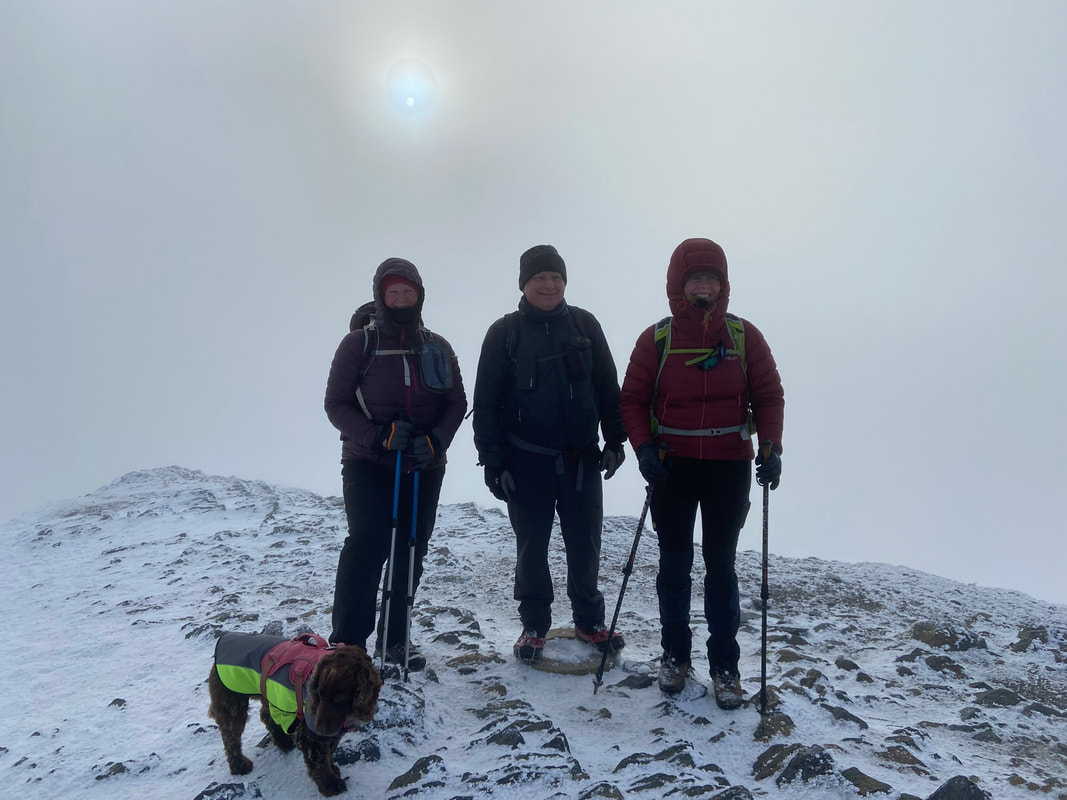
And here he is - a friend of ours Richard had come up via Sharp Edge and met us on the summit totally by chance
We were off next to Atkinson Pike via the Quartz Stone Cross
As usual, he is probably thinking about our lunch stop
The quartz stone cross located in the Saddle between Blencathra & Atkinson Pike
Wainwright wrote about the cross in Book 5 of his Pictorial Guide (Blencathra 33)
"In view from the summit is a landmark that has aroused the curiosity of visitors for a great many years: a collection of white crystallised stones of high quartz content, laid on the grass in the form of a cross on the easy rise to the top of Foule Crag, north of the Saddle. This cross owes its existence to the industry of Harold Robinson of Threlkeld. Formerly there was a very small cross of stones here (locally ascribed as a memorial to a walker who lost his life on a rough slope adjacent) and Mr Robinson, an enthusiastic lone hill wanderer who has climbed his favourite Blencathra hundreds of times, collected more stones (veins of quartzite occur in the native slate nearby) and extended the cross to its present size of 16' by 10' during a succession of visits from 1945 onwards"
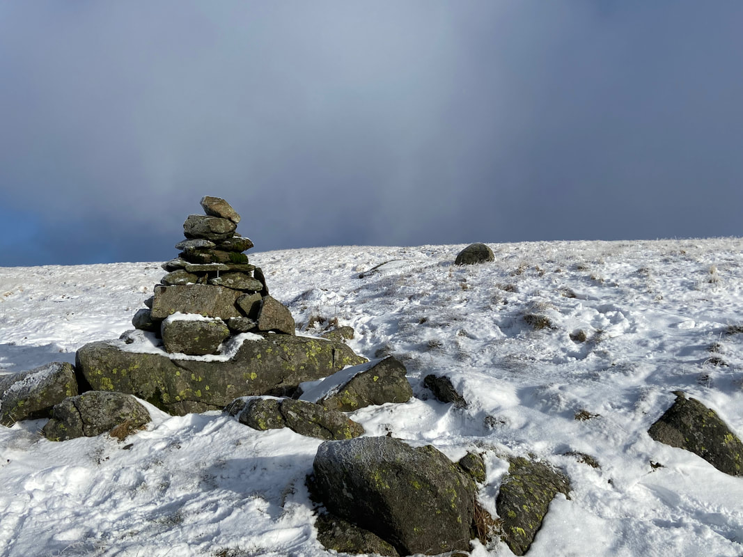
The small cairn that marks the summit of Atkinson Pike. A few yards on from this point is a smaller cairn which denotes the point at which the path leaves for Mungrisdale Common.
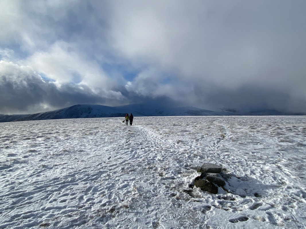
Descending Atkinson Pike for Mungrisdale Common - ahead can be seen a lone walker making his way over
Foule Crag at the top of Sharp Edge which is over to the left
The path to Mungrisdale Common
Looking down to Roughten Gill with Lonscale Fell beyond
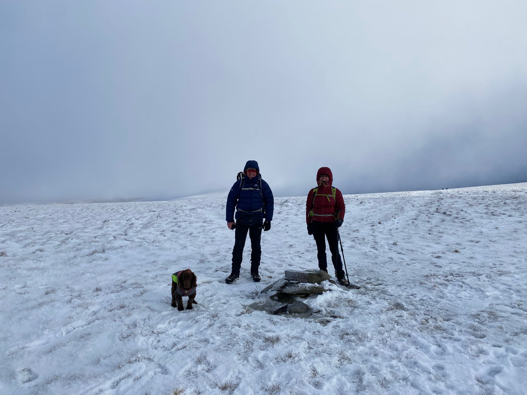
With Nicky & Fudge at the cairn near the summit of Mungrisdale Common. The highest point of the fell is a few yards to the east amongst a tussocky and boggy mess. For the purists amongst you then it must be visited but to be honest there is very little height (if any) between both points.
From the summit cairn a path heads to the south west in the direction of the Cloven Stone
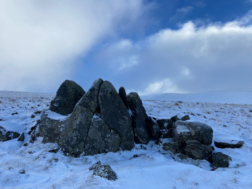
One of Wainwright's two "stone men" (Mungrisdale Common 4)
Blease Fell to the left with Lonscale Fell to the right as we head for the Cloven Stone
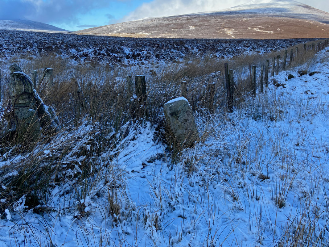
The Cloven Stone - I won't insult your intelligence by stating how it got its name. As with "The Stake" which is a bit further on in this walk, in the past it has served as a Boundary Stone.
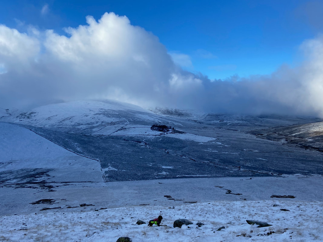
Skiddaw House in amongst a circle of trees. The area Skiddaw House is located in is called "Skiddaw Forest" - the word "Forest" is used here in its original sense, meaning land used for hunting, rather than a woodland.
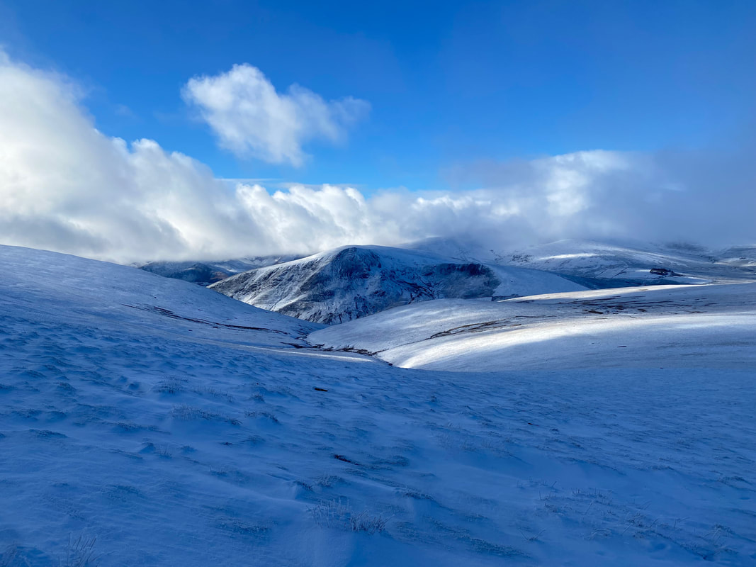
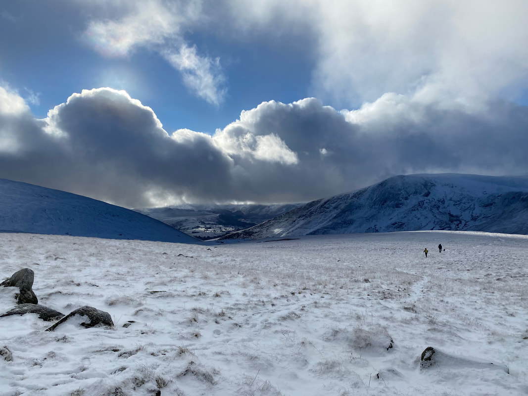
Descending from Mungrisdale Common towards The Stake and the Cumbria Way
A snow topped Great Calva
The Stake (Mungrisdale Common 5)
Lonscale Fell with Burnt Horse over to the right
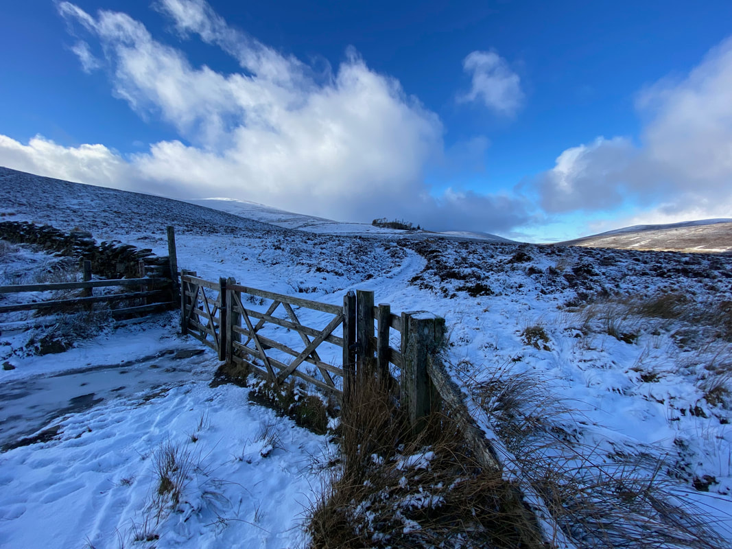
From The Stake it is a short walk via a fence to reach The Cumbria Way
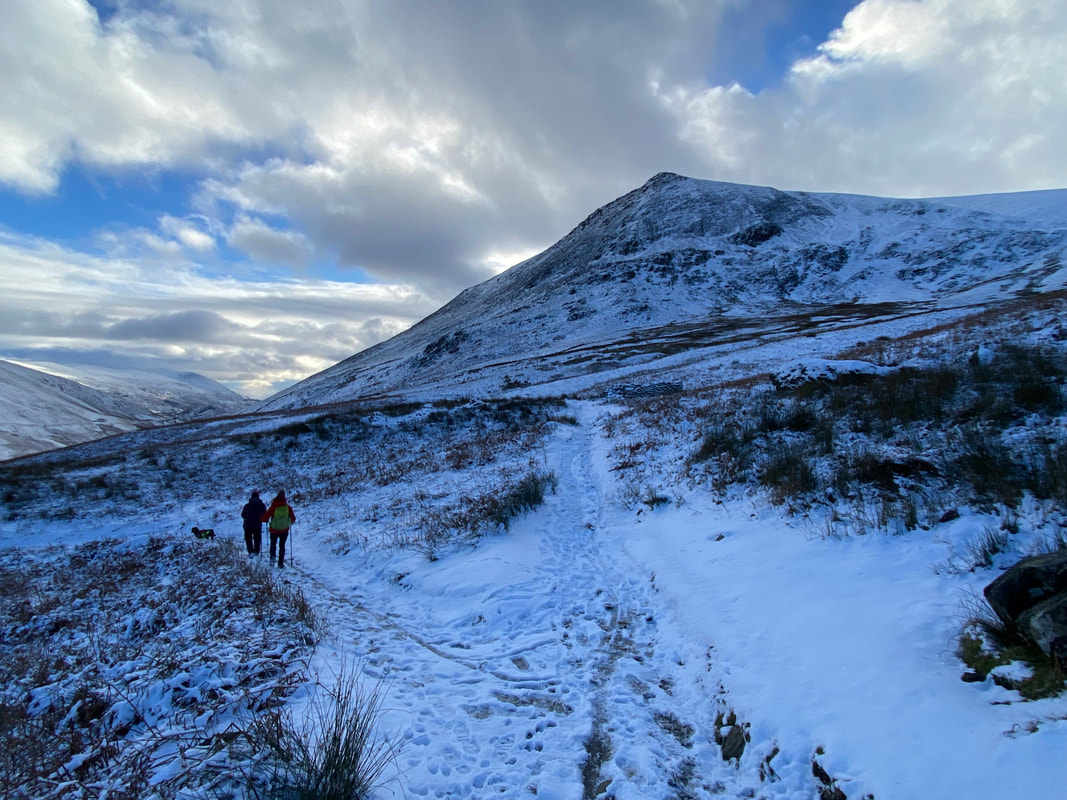
At Grid Reference NY 29217 27982 the path splits. The route to the right is the Cumbria Way which eventually leads back to Keswick via the lower slopes of Lonscale Fell and Latrigg whilst our path goes left to head through the Glenderaterra Valley.
Bit nippy today!!
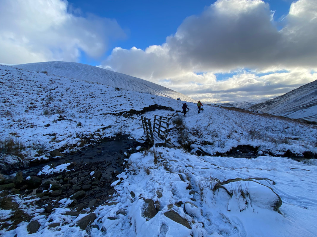
The footbridge over Sinen Gill
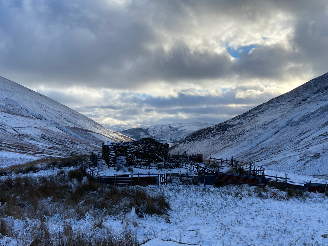
Just before Roughten Gill we pass a prominent sheepfold and a ruined building
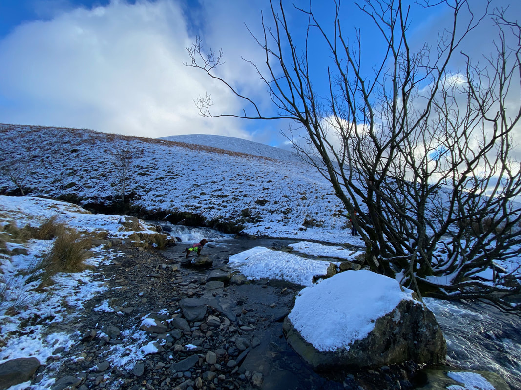
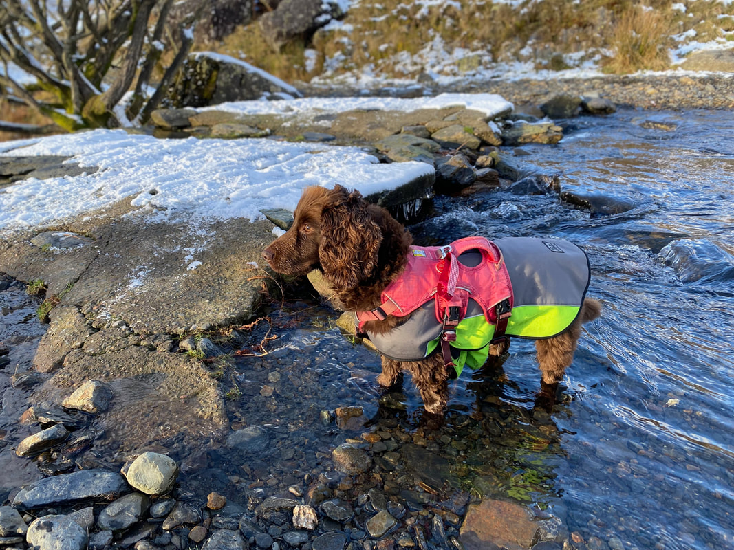
Another "I'm listening intently" pose from Fudge, this time at the slate bridge over Roughten Gill
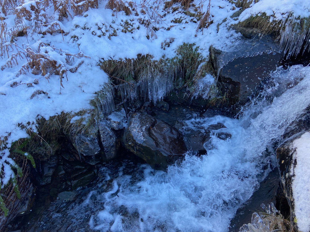
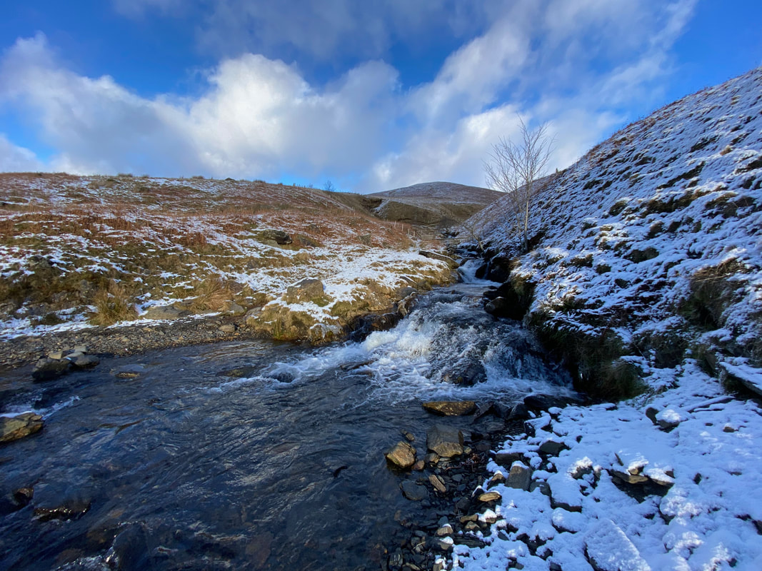
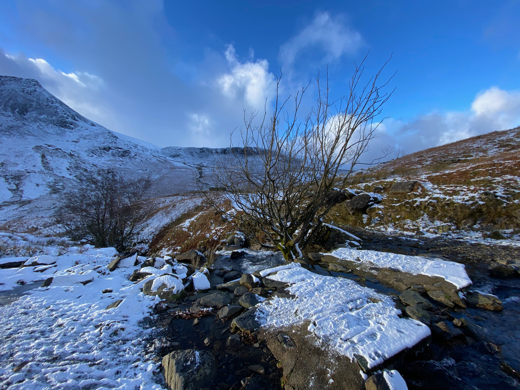
Roughten Gill - this is a really lovely spot
Roughten Gill in full flow (Click Play to view)
The slate bridge over Roughten Gill looking to Burnt Horse
Another one of those "is that a packet of biscuits I can hear being opened in the Cafe in Threlkeld" moments from Fudge
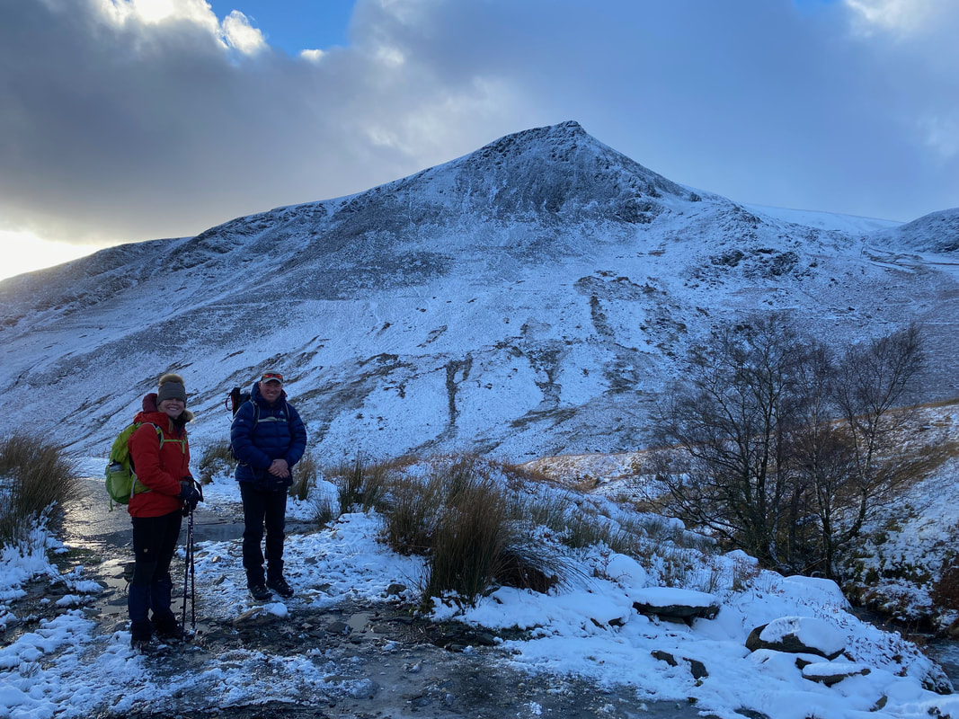
With Nicky at Roughten Gill looking to the Pike on Lonscale Fell
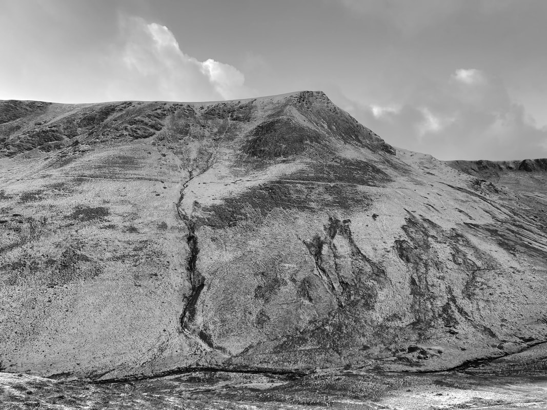
A mono Lonscale Fell across the Glenderaterra Valley
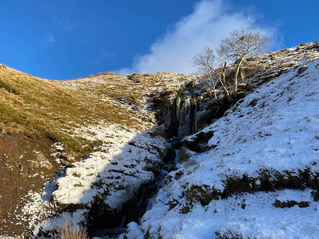
An unnamed waterfall coming down from the lower slopes of Blease Fell
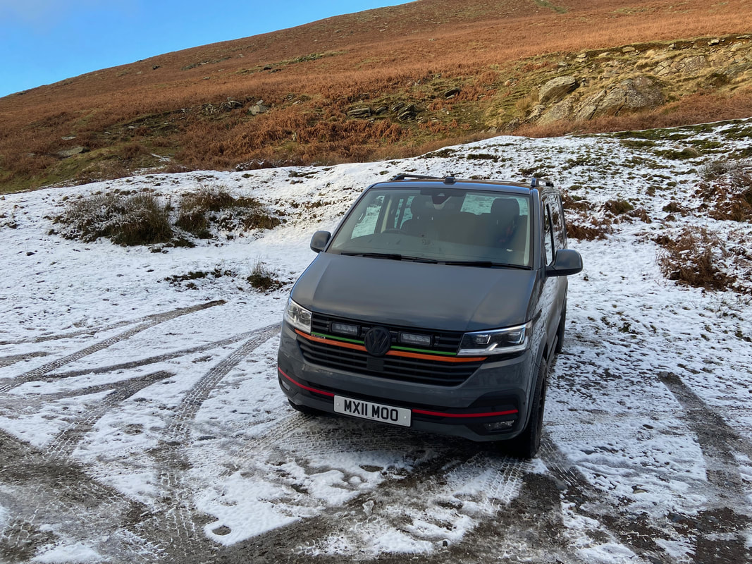
Near the Blencathra Centre we said hello briefly to Kerry Irving who was out filming with his pooches. His vehicle number plate is in memory of his first dog Max who was affectionately known as "Maxi Moo". Sadly Max passed away in April 2022.
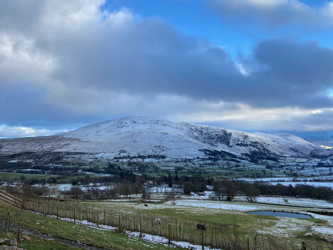
Clough Head as sunset approaches - what a cracking day out that was
