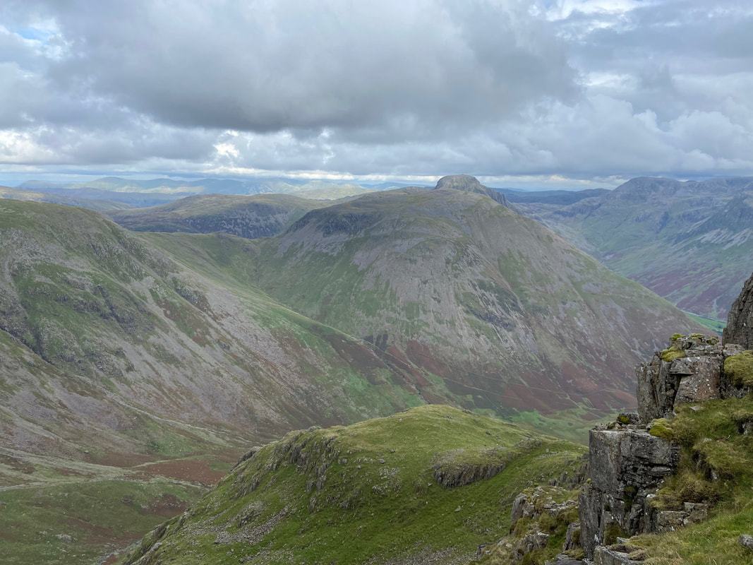
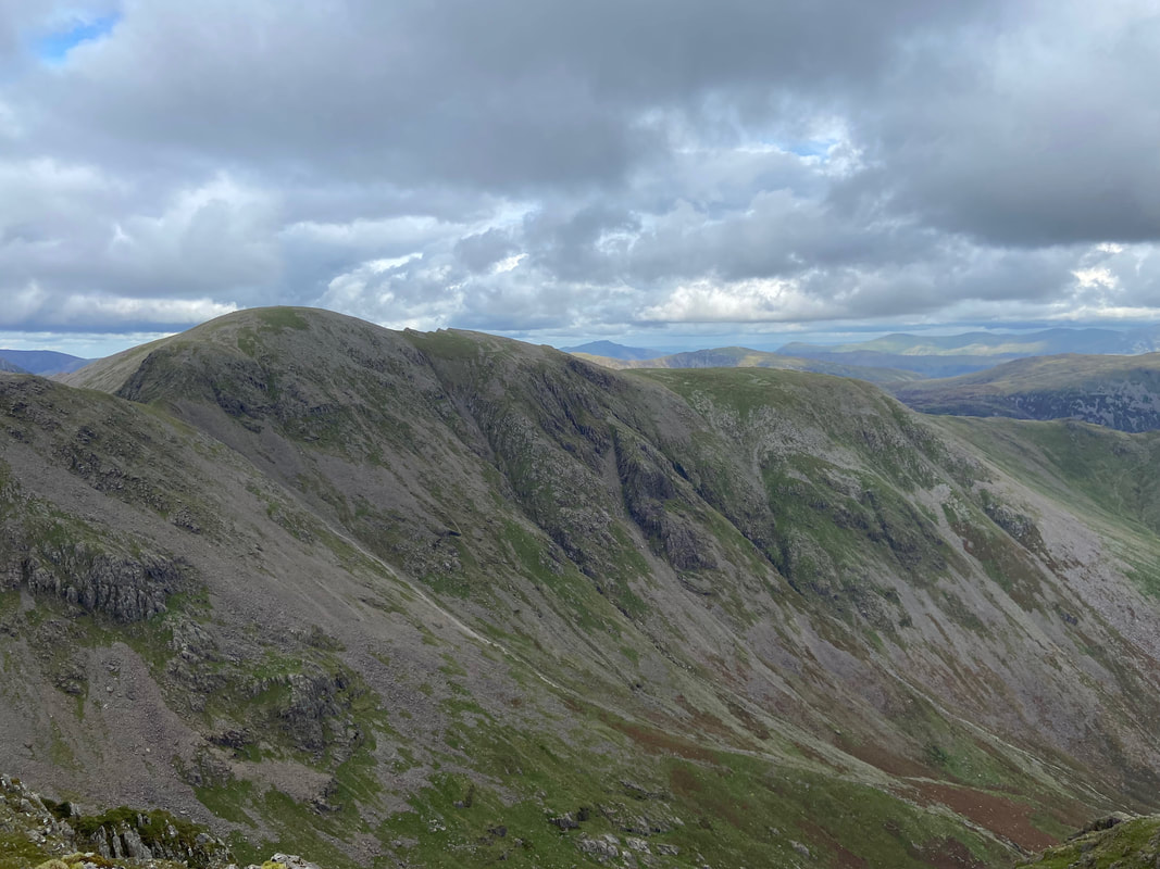
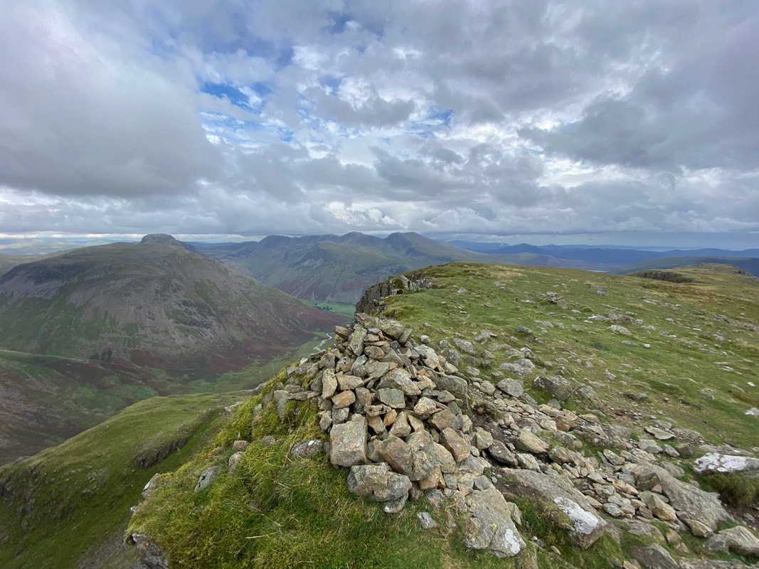
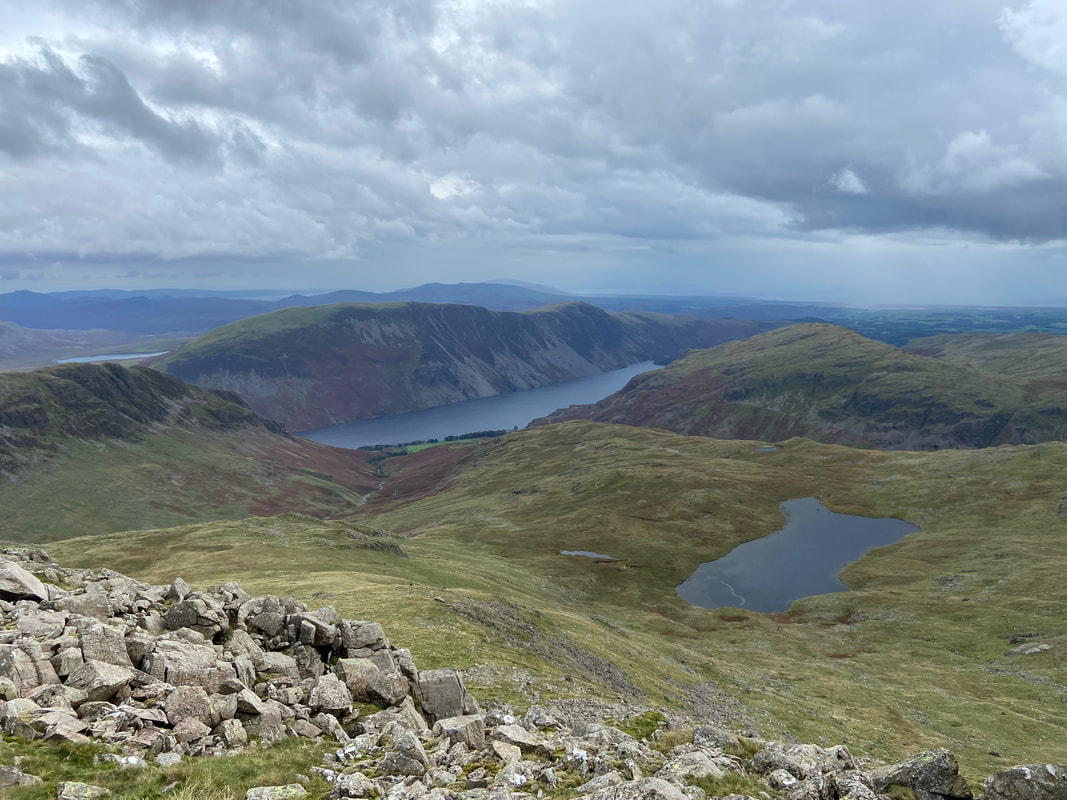
Greater Mosedale Horseshoe - Tuesday 12 September 2023
Route
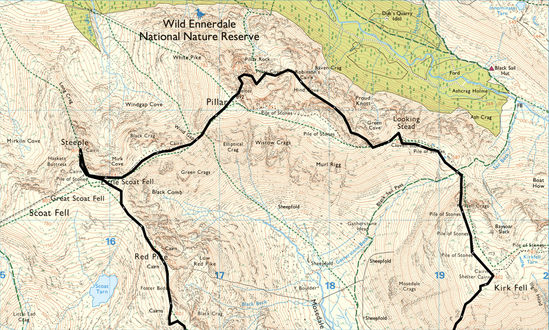
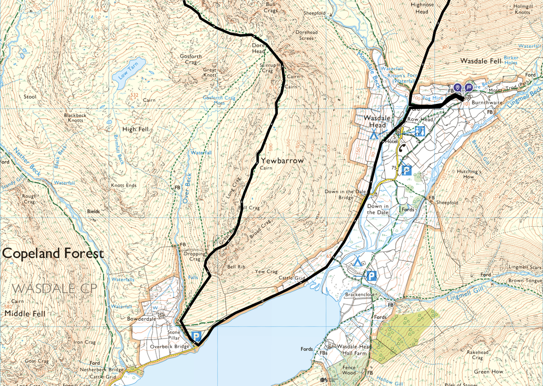
Wasdale Head - Highnose Head - Kirk Fell - Kirkfell Crags - Black Sail Pass - Looking Stead - High Level Traverse - Hind Cove - Robinson's Cairn - Pillar Cove - Shamrock Traverse - Pillar - Wind Gap - Black Crag - Scoat Fell - Steeple - Red Pike - Chair Cairn - Dore Head - Stirrup Crag - Yewbarrow North Top - Yewbarrow - Great Door - Overbeck Bridge - Down in the Dale - Wasdale Head
Parking
I started directly from our accommodation at Burnthwaite Farm, however the walk can commence from Wasdale Head where there is plenty of parking on the green. The Grid Reference is NY 18670 08490 and the nearest postcode is CA20 1EX. Please park sensibly in Wasdale, allowing access for local traffic and the emergency services.
Mileage
12.3 miles
Terrain
Good mountain paths with the following exceptions:
1. The ascent of Kirk Fell is extremely steep with a scree section to negotiate near the summit.
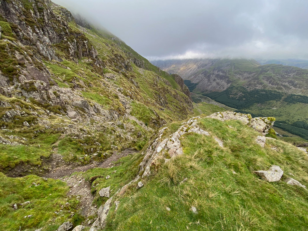
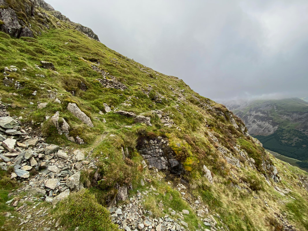
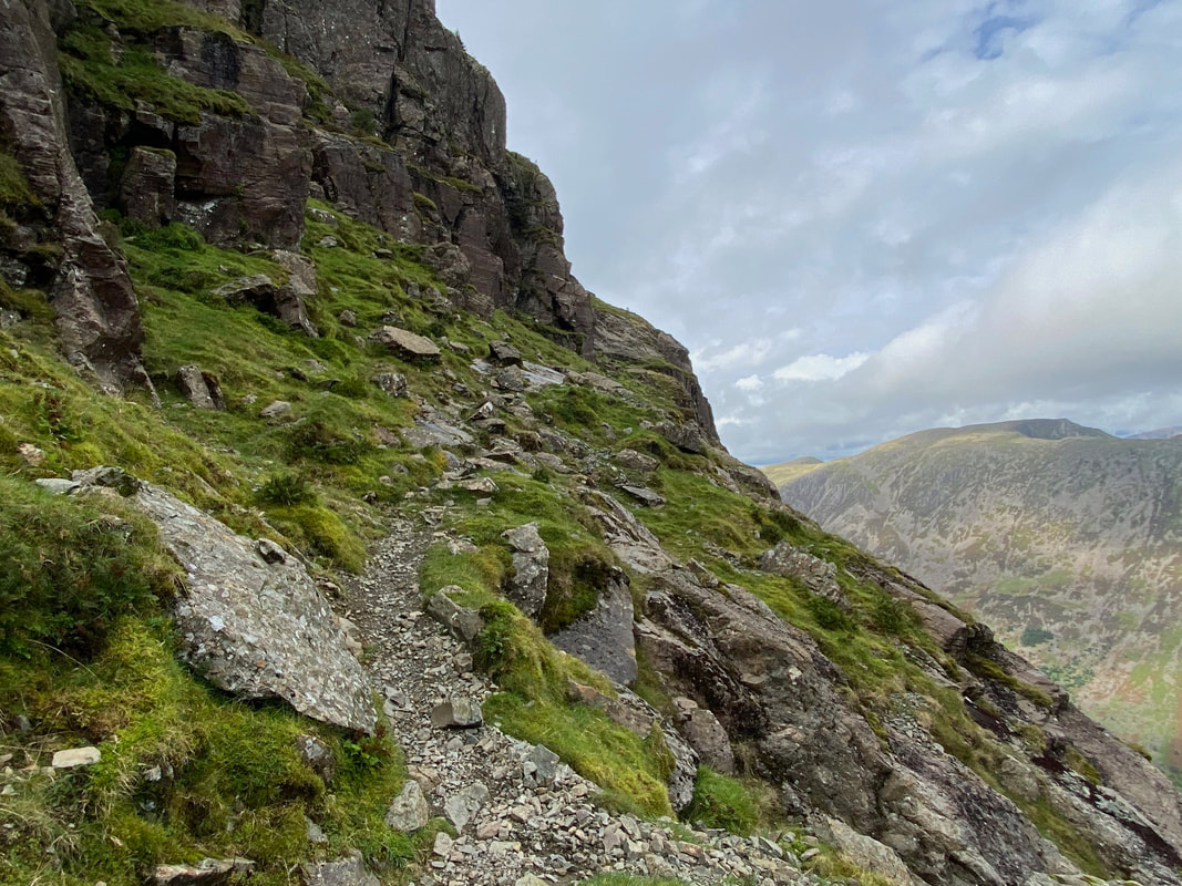
2. The ascent of Pillar via the High Level & Shamrock Traverses, whilst an exhilarating route requires care to be taken following rain, snow & ice. Additionally, the transit across the High Level Traverse from Robinson's Cairn to the foot of Pillar Rock via the Shamrock Traverse is over boulders, a scree slope and an exposed path along a narrow shelf. Don't let this put you off as this is a cracking walk but be prepared to get your hands on rock.
3. The ascent & descent of Yewbarrow via Stirrup Crag & Great Door are steep and require some scrambling over loose stone.
The walk from Overbeck Bridge to Down in the Dale near Wasdale Head is along the access road therefore during busy times (morning & late afternoons) care needs to be taken.
Weather
Overcast for the most part. However the visibility was pretty good all day apart from the summit and descent of Kirk Fell.
Time Taken
9hrs 35mins
Total Ascent
5219ft (1591m)
Wainwrights
6
Map
OL4 The English Lakes (North Western Area)
Walkers
Dave
|
GPX File
|
| ||
If the above GPX file fails to download or presents itself as an XML file once downloaded then please feel free to contact me and I will send you the GPX file via e-mail.
Route Map
I started today's walk from near Wasdale Head at Burnthwaite Farm where we were staying. This is one of the best rounds in the Lake District in my humble opinion. It is challenging because of the amount of ascent/descent making the 12 plus miles seem a lot longer than they actually are.
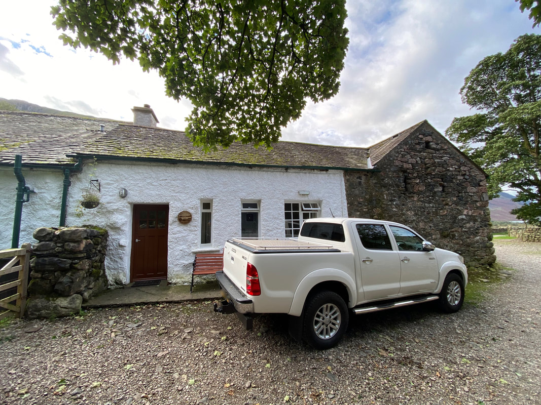
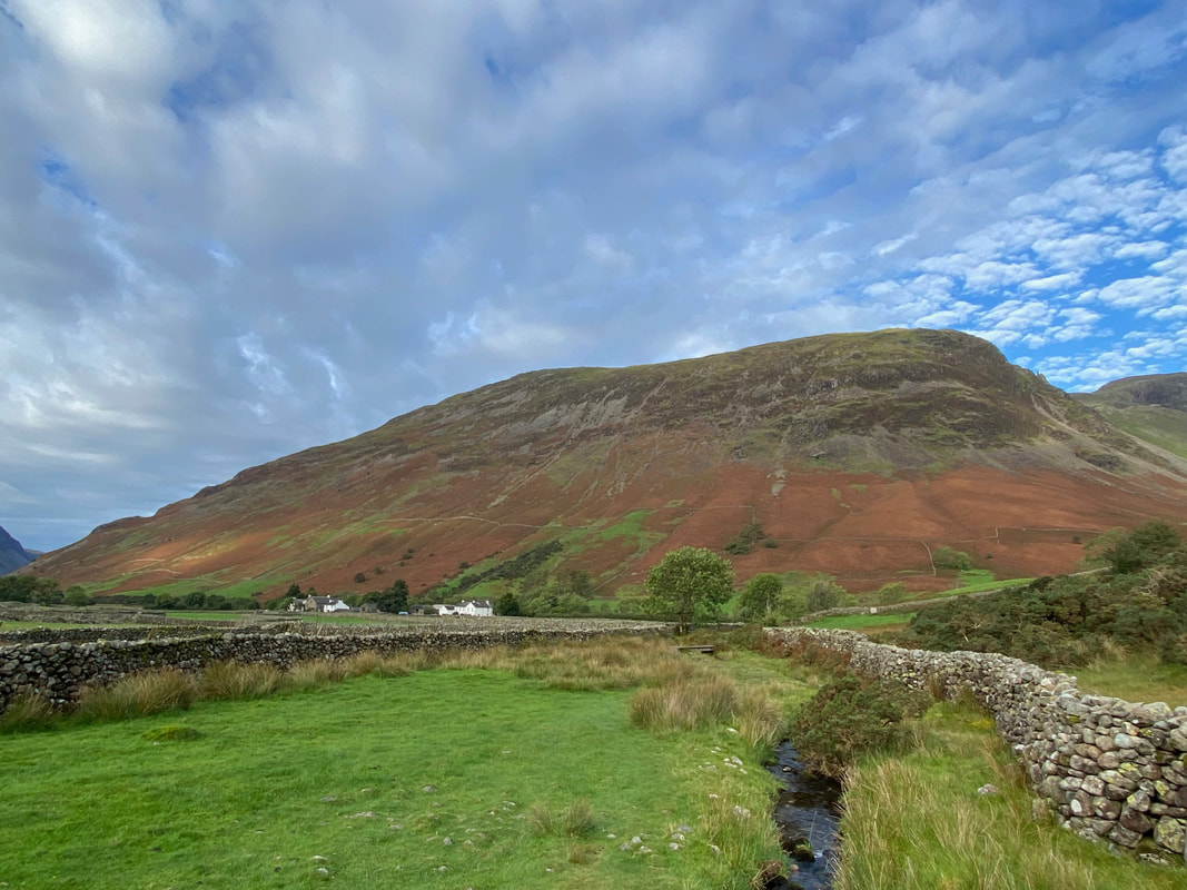
Burnthwaite Farm nestles in the trees below Great Gable with the slopes of Kirk Fell to the left
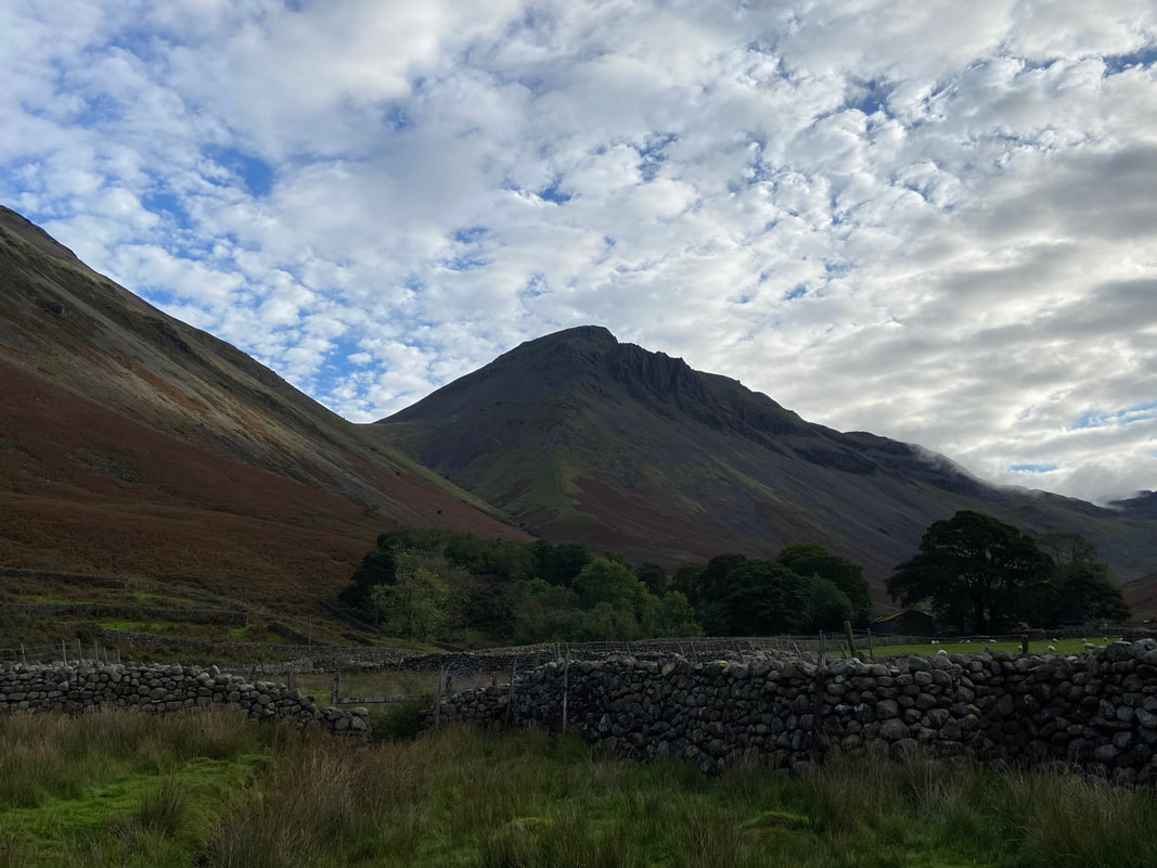
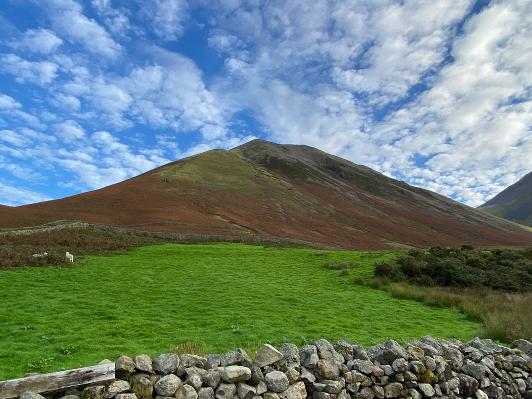
Yewbarrow dominates the view as I make my way towards Wasdale Head which is over to the left
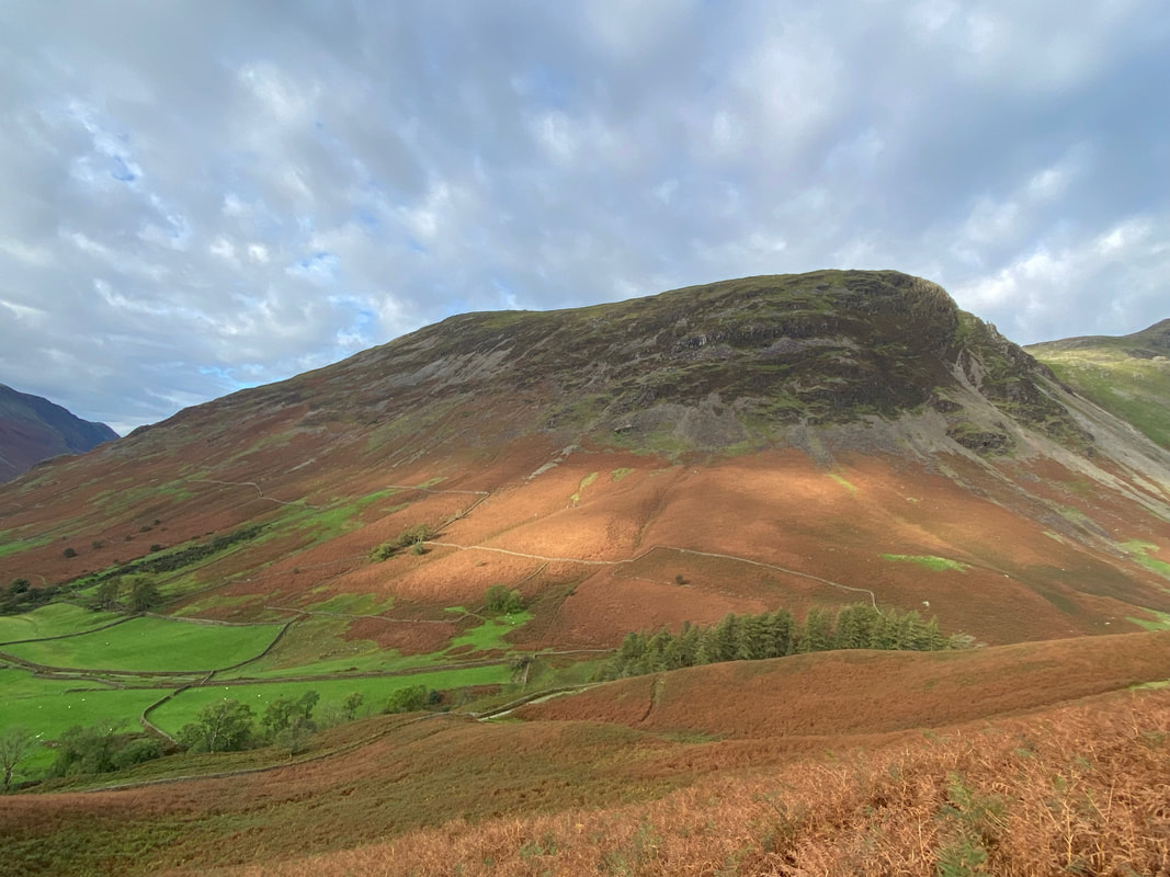
Kirk Fell over to the right and my route of ascent
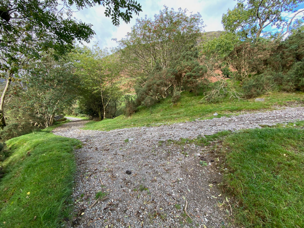
Nearing Wasdale Head the route reaches a path junction - to the left leads to Wasdale Head whilst I would be heading to the right in the direction of Mosedale & Kirk Fell
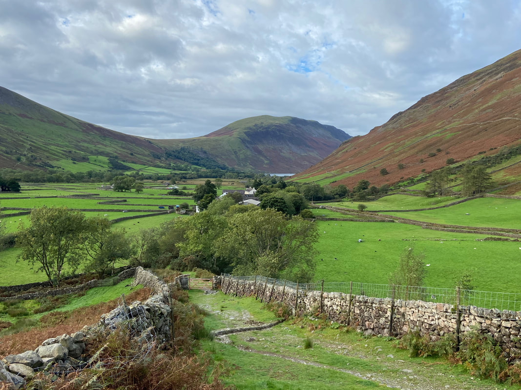
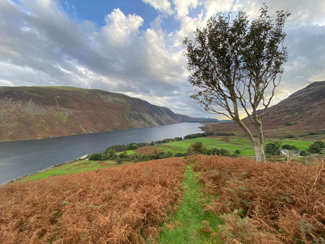
Wasdale Head below with Wastwater just about visible below Illgill Head
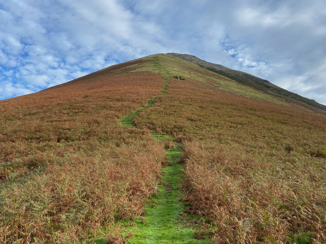
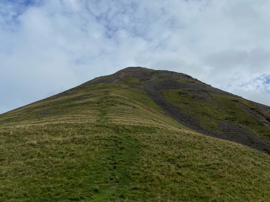
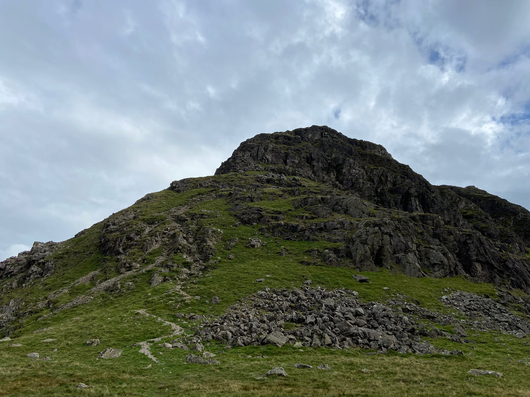
And up I go - the thigh busting ascent up the nose of Kirk Fell. Whilst it is a steep pull, I would rather go up this way than down it!
Yewbarrow from the lower slopes of Kirk Fell
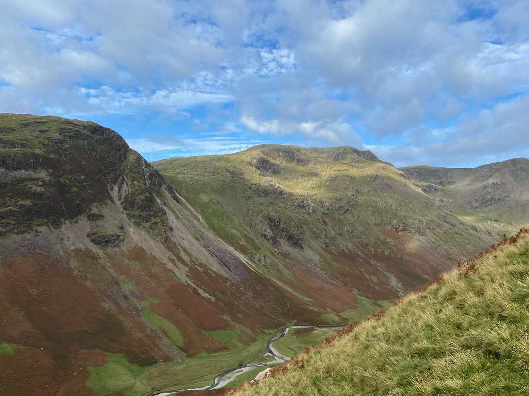
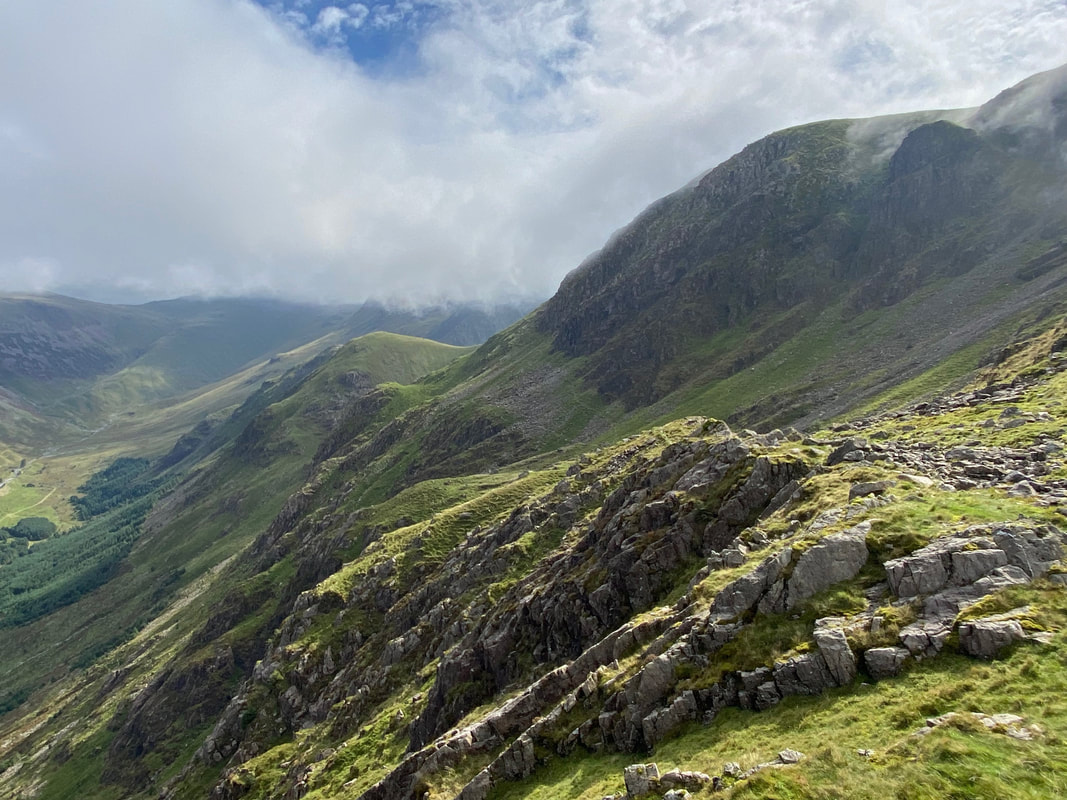
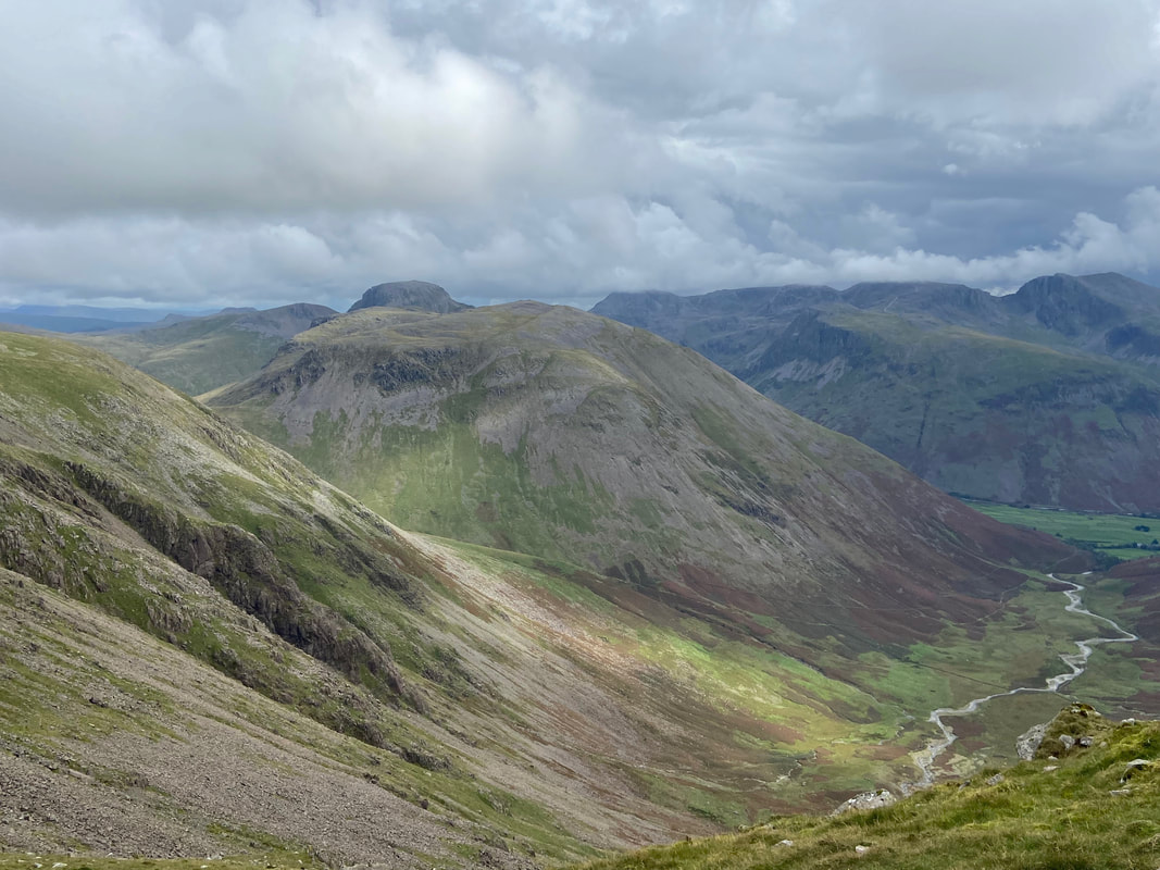
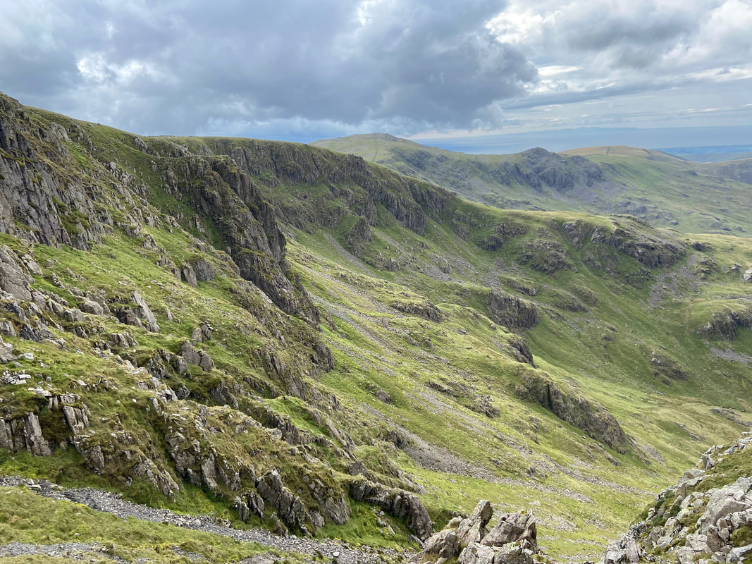
As I gain height the view over to my left into Mosedale really opens out - Dore Head Screes, Red Pike & Black Crag
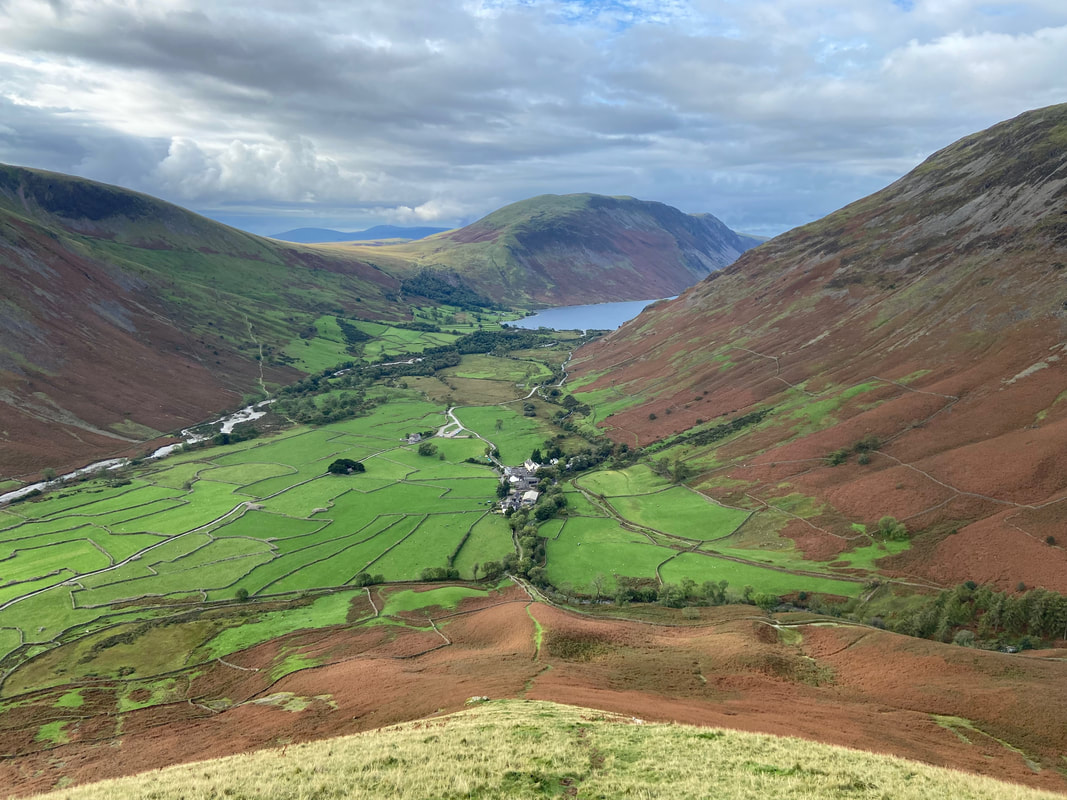
Pausing for breath (as I did many times), I look back down the steep slope to Wasdale Head again
Approaching the start of the scree. It would be easy to say I was nearing the top but there is still a fair bit of ascent to go from here
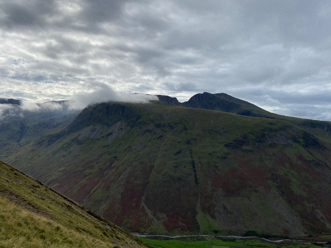
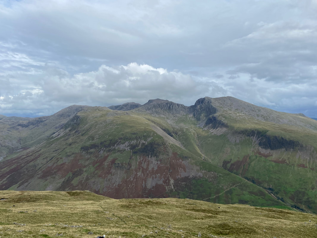
An atmospheric shot over to Lingmell with the mouth of Mickledore to the rear - Scafell Pike is to the left with Scafell over to the right
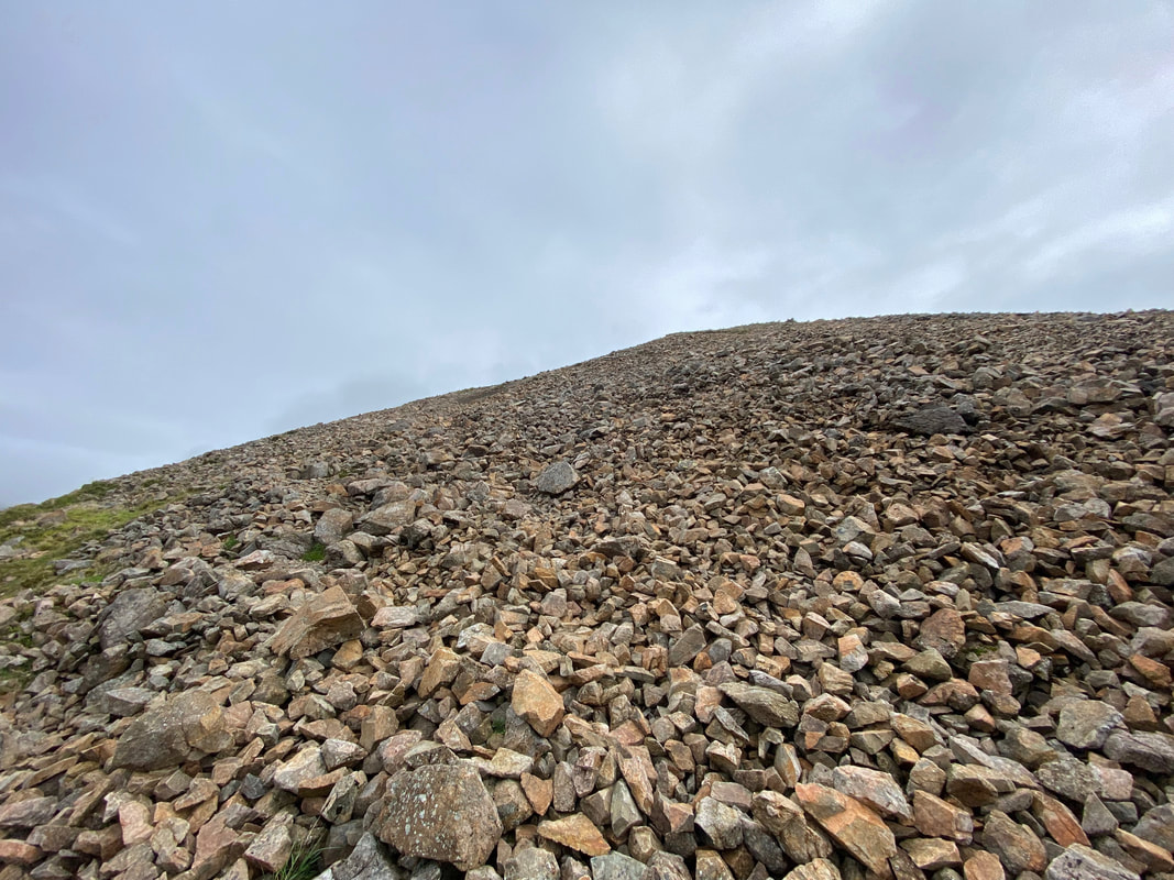
For first timers walking this route up Kirk Fell the scree can come as a bit of a shock - there is a path through it (of sorts) although it is just a question of taking your time and picking a route over the loose stone
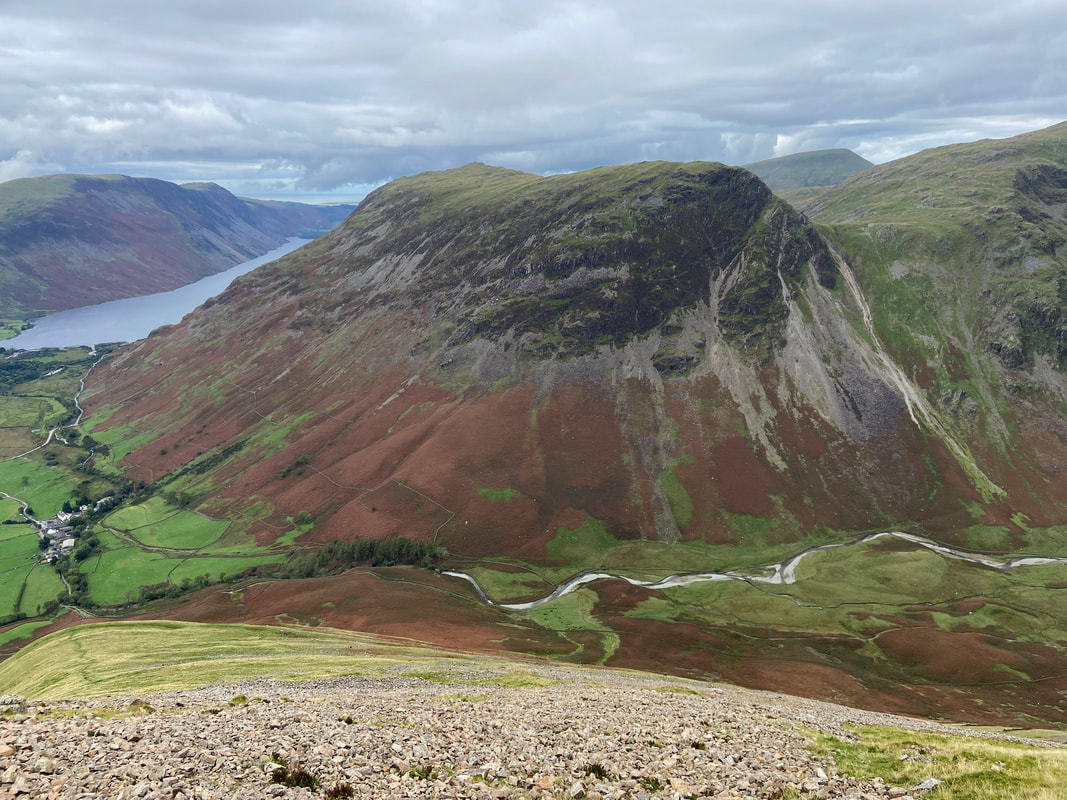
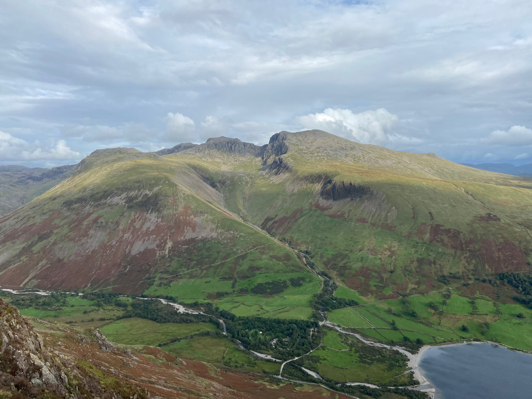
Another fantastic view over to one of my favourite fells - Yewbarrow. Dore Head Screes are now in full view.
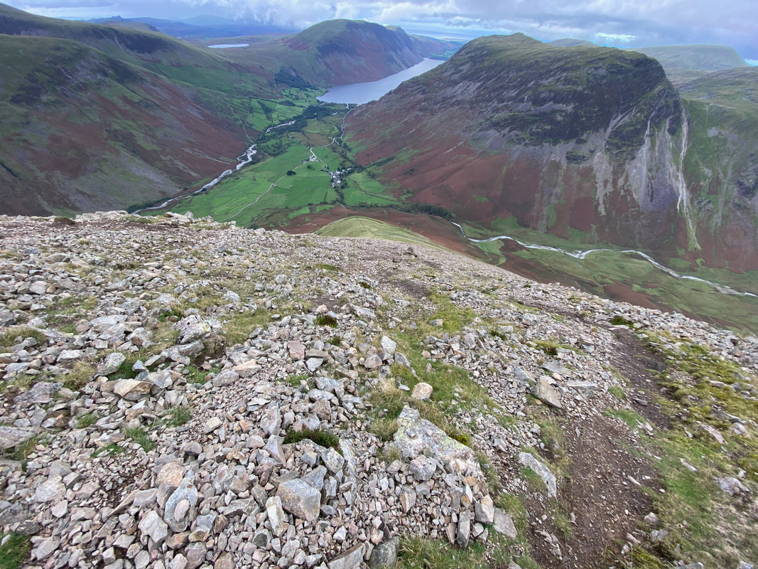
Looking back down the scree as I near the summit - it was at this point I had a feeling the cloud would soon be engulfing me
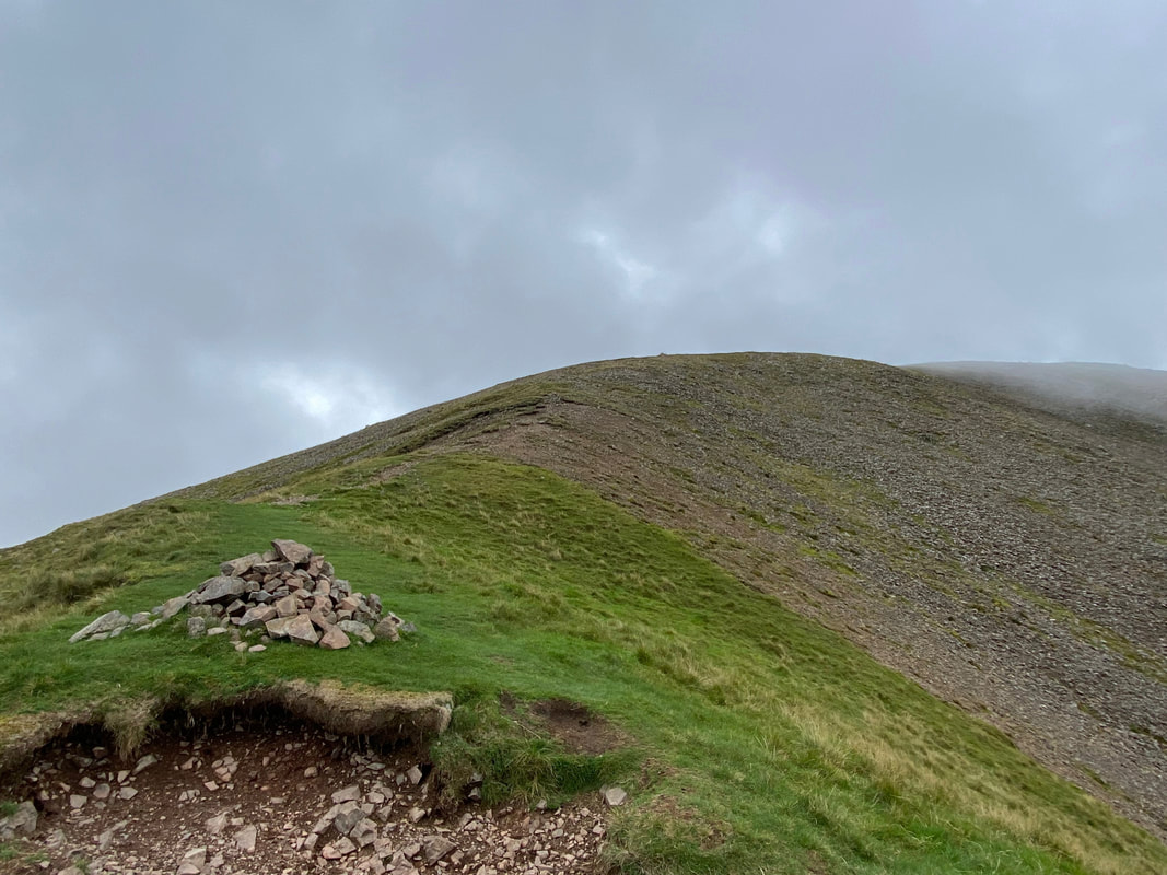
At the top of the scree is a cairn from where the gradient relented leaving a short section of easy walking to reach the summit
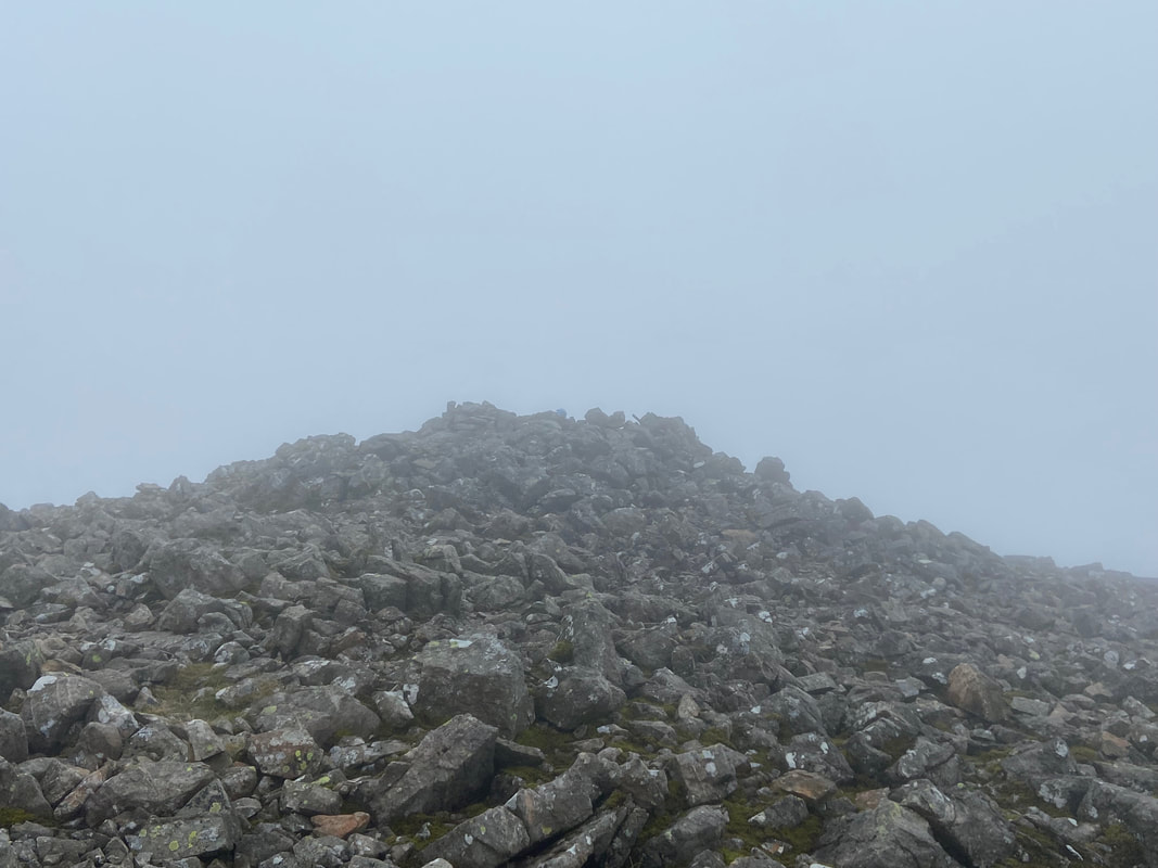
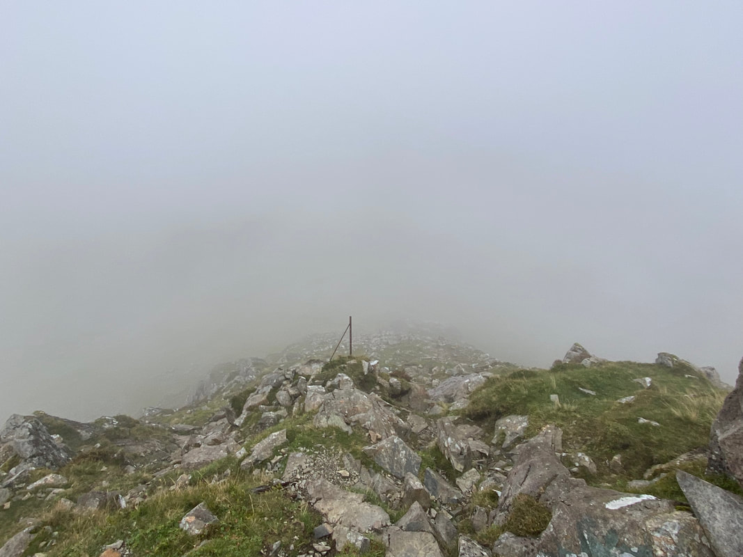
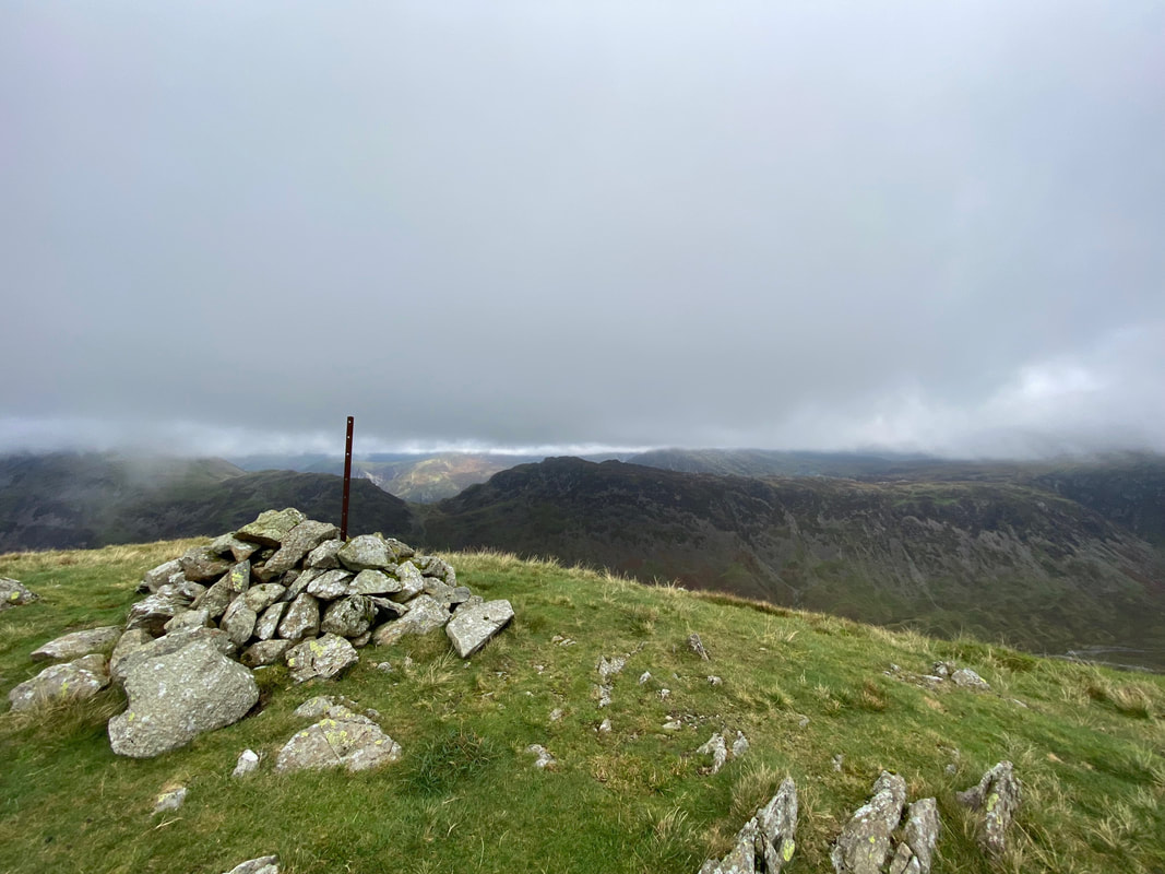
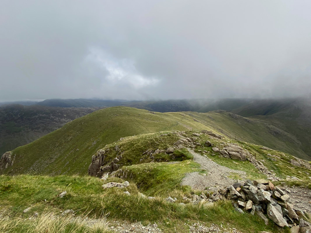
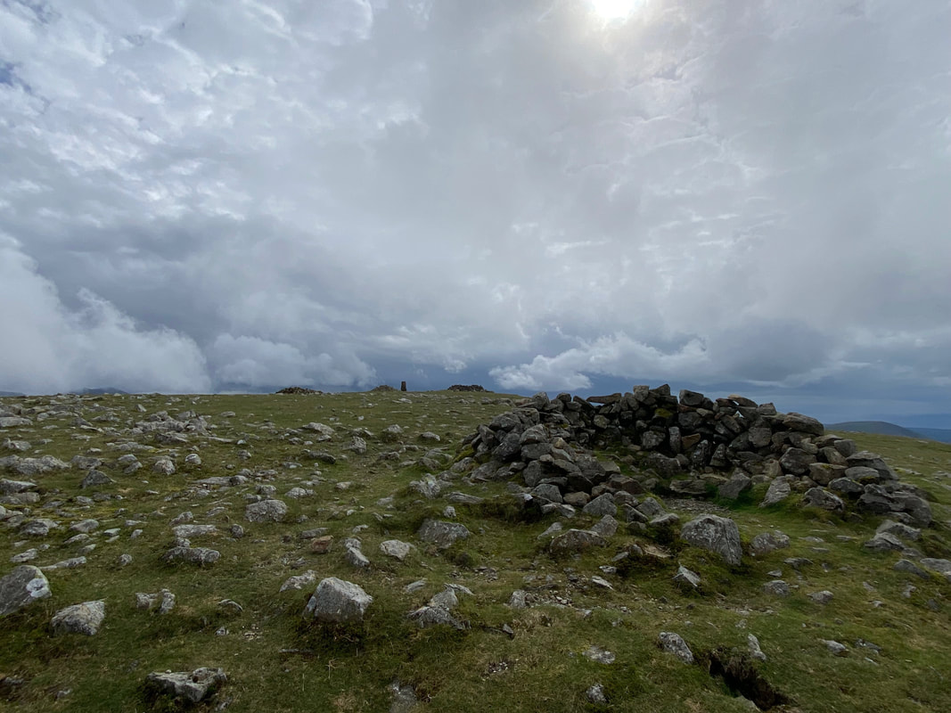
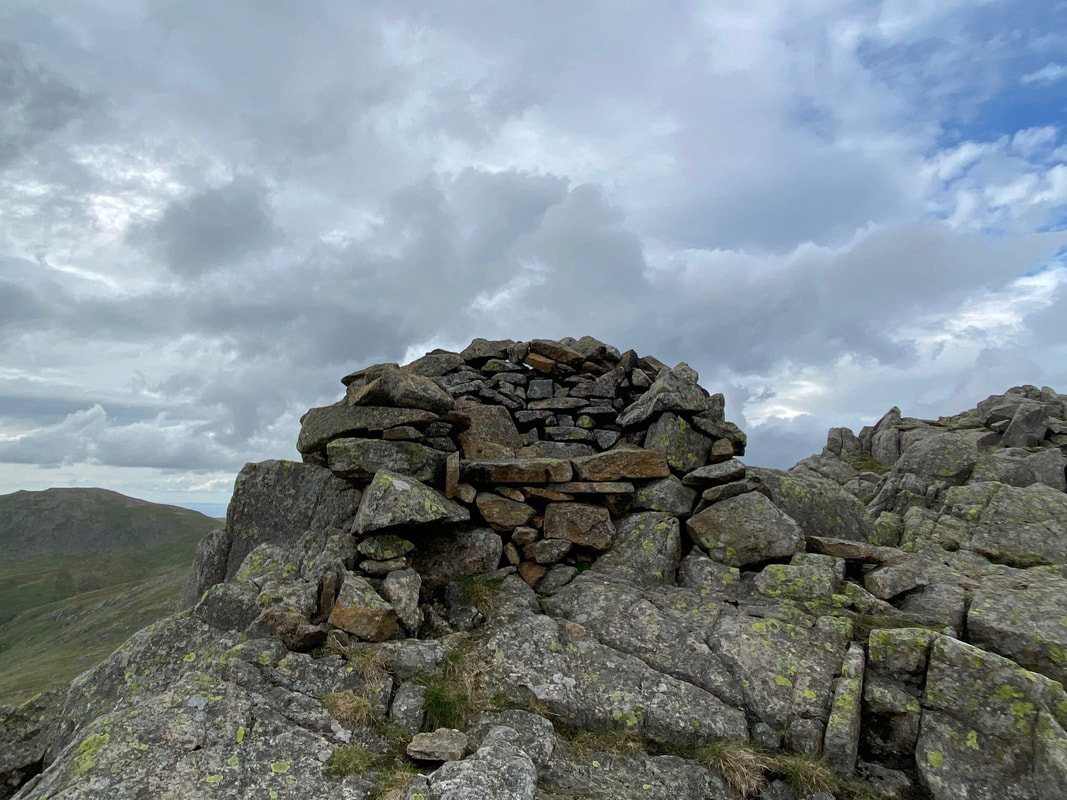
As predicted, the cloud came in as I reached Kirk Fell's summit. I stopped for 10 minutes or so in the summit shelter and had a chat to a couple of walkers who I had spotted ahead of me as I made my ascent. They asked me which was the best way off Kirk Fell in this weather and I pointed them the way I was going - down to the Black Sail Pass via the redundant fence posts.
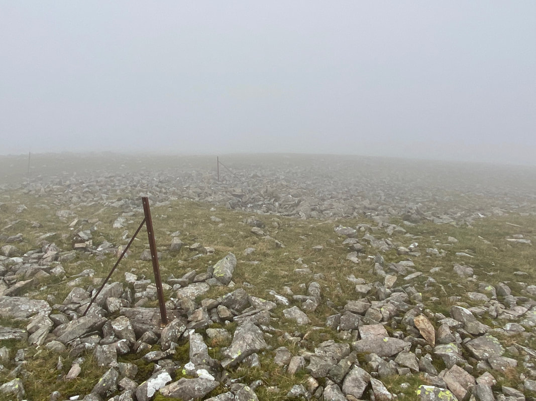
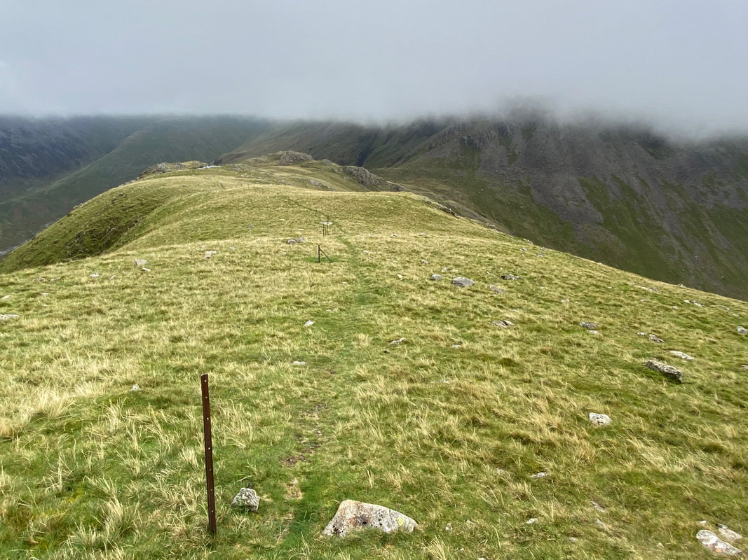
And here they are - the posts are the remnants of the Lonsdale Estate boundary fence which once enclosed much of Ennerdale. It goes without saying that even though you are following a line of old fence posts, you have to know which direction they are taking you in!
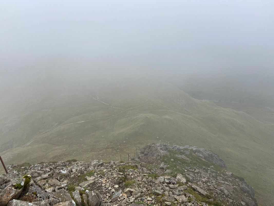
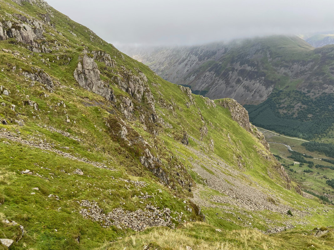
After a gentle gradient the path starts to descend quite steeply still following the fence posts down the western buttress of Kirkfell Crags
As I made my descent the visibility started to improve and the top of the Black Sail Pass came into view
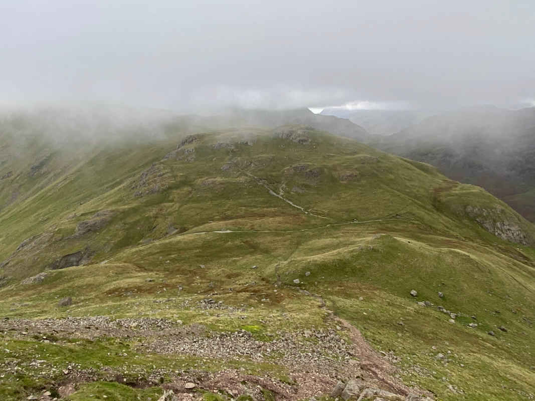
A little further down and the visibility got even better - at this point I was hoping that this was the last I would see of the low cloud. My path to Looking Stead can be seen over the other side of the pass.
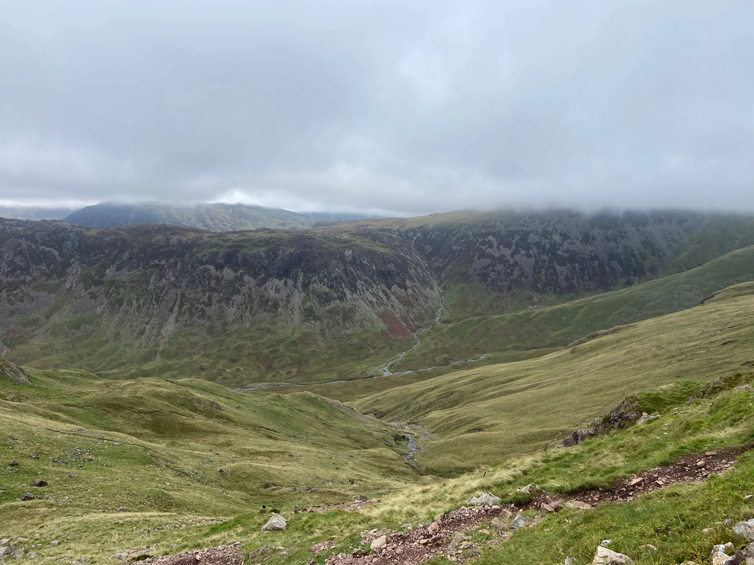
The top of the Black Sail Pass looking into Ennerdale. To the right of centre is the Coast to Coast path heading up the right hand side of Loft Beck - the climb is normally completed on Day 2 which is Ennerdale Bridge to Rosthwaite.
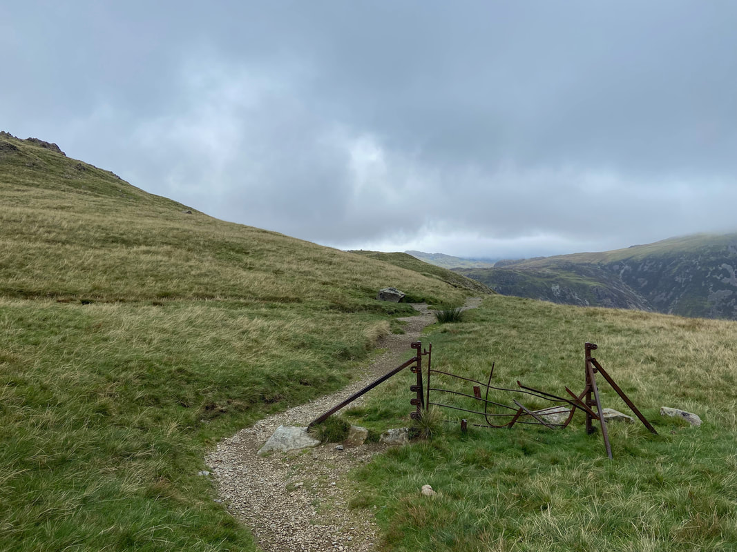
The redundant gate and straining post at the top of the Black Sail Pass. This gate is always a welcome sight when climbing steeply up from Ennerdale.
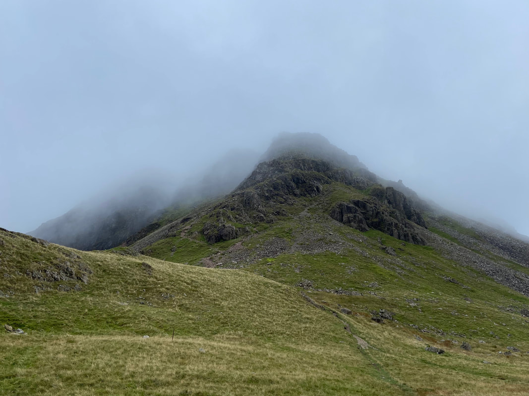
Looking back to my route of descent from Kirk Fell which was still engulfed by low cloud
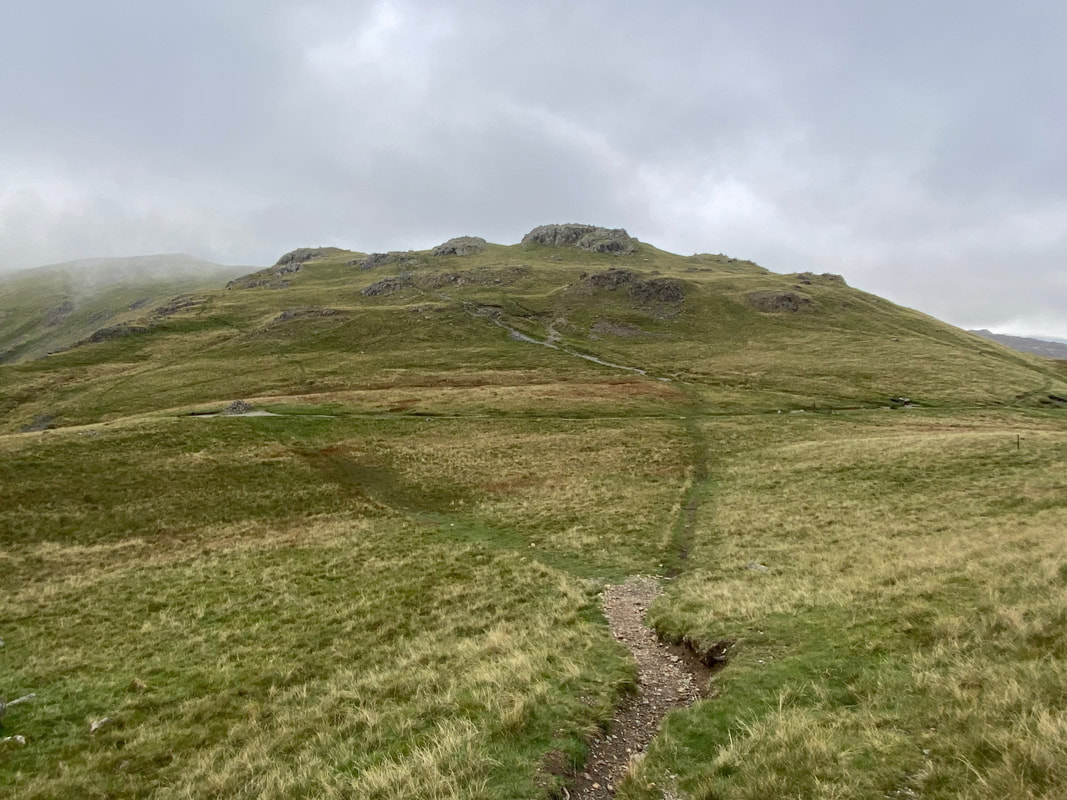
My route over to Looking Stead from the top of the Black Sail Pass. There are two paths of sorts - on lower down and one higher up which converge on the ridge just before Looking Stead's summit.
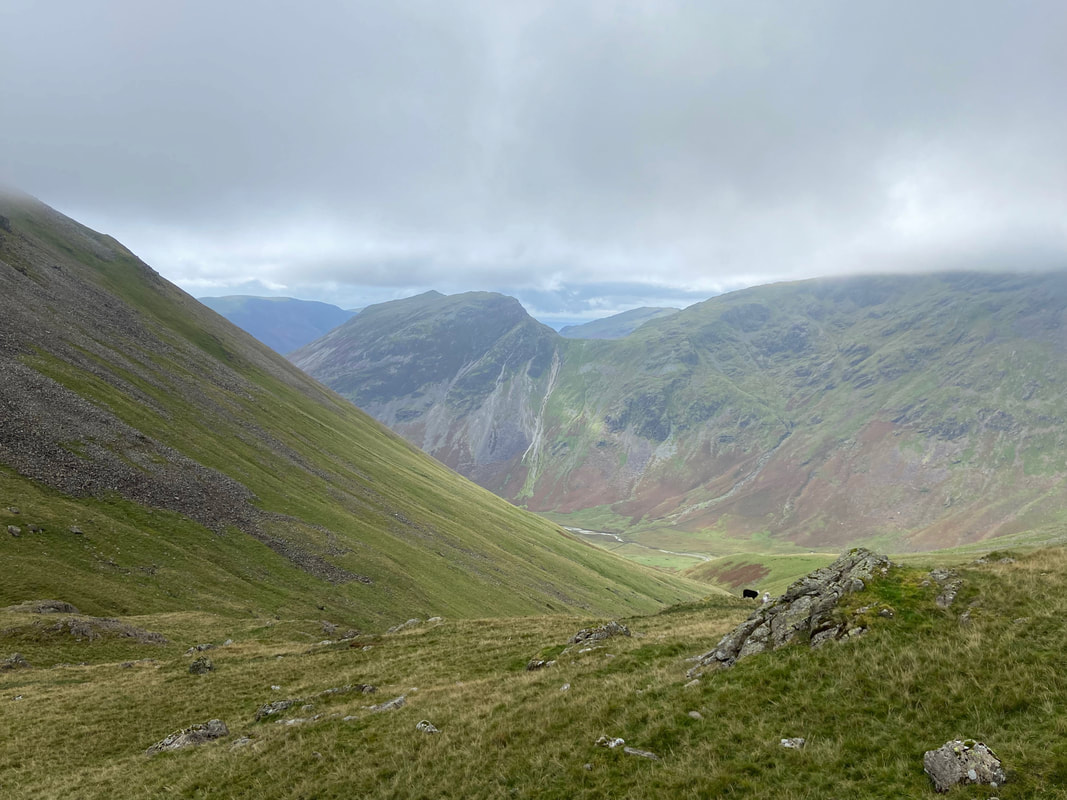
Looking into Mosedale to Yewbarrow & Dore Head Screes
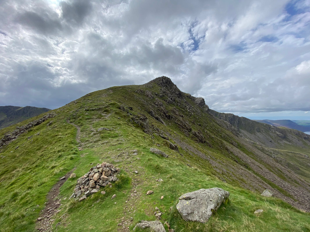
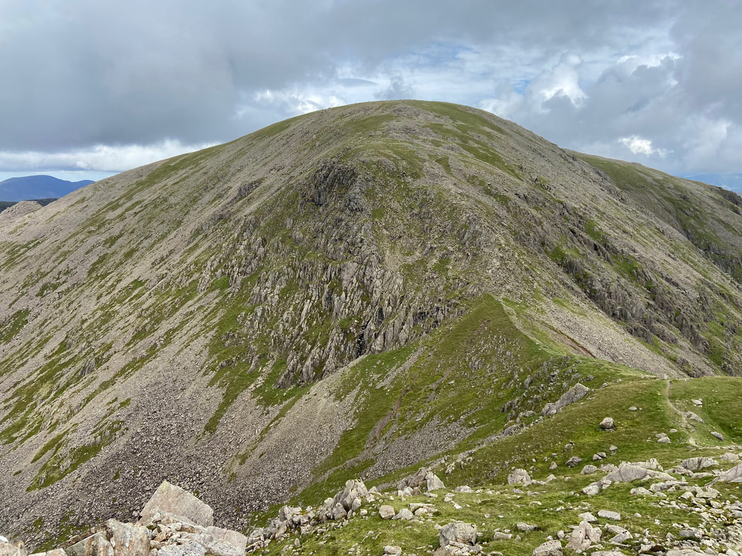
Looking back down the ridge on Looking Stead with Kirk Fell over to the right
The summit of Looking Stead
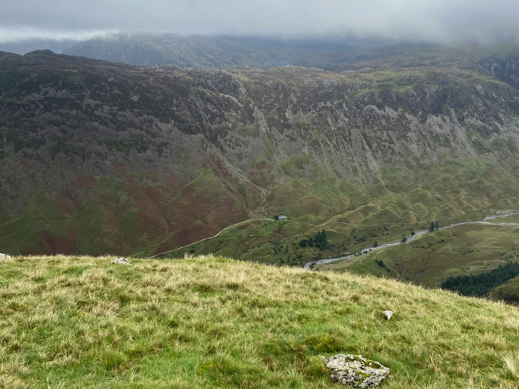
Ennerdale from Looking Stead with Black Sail Hut sitting below
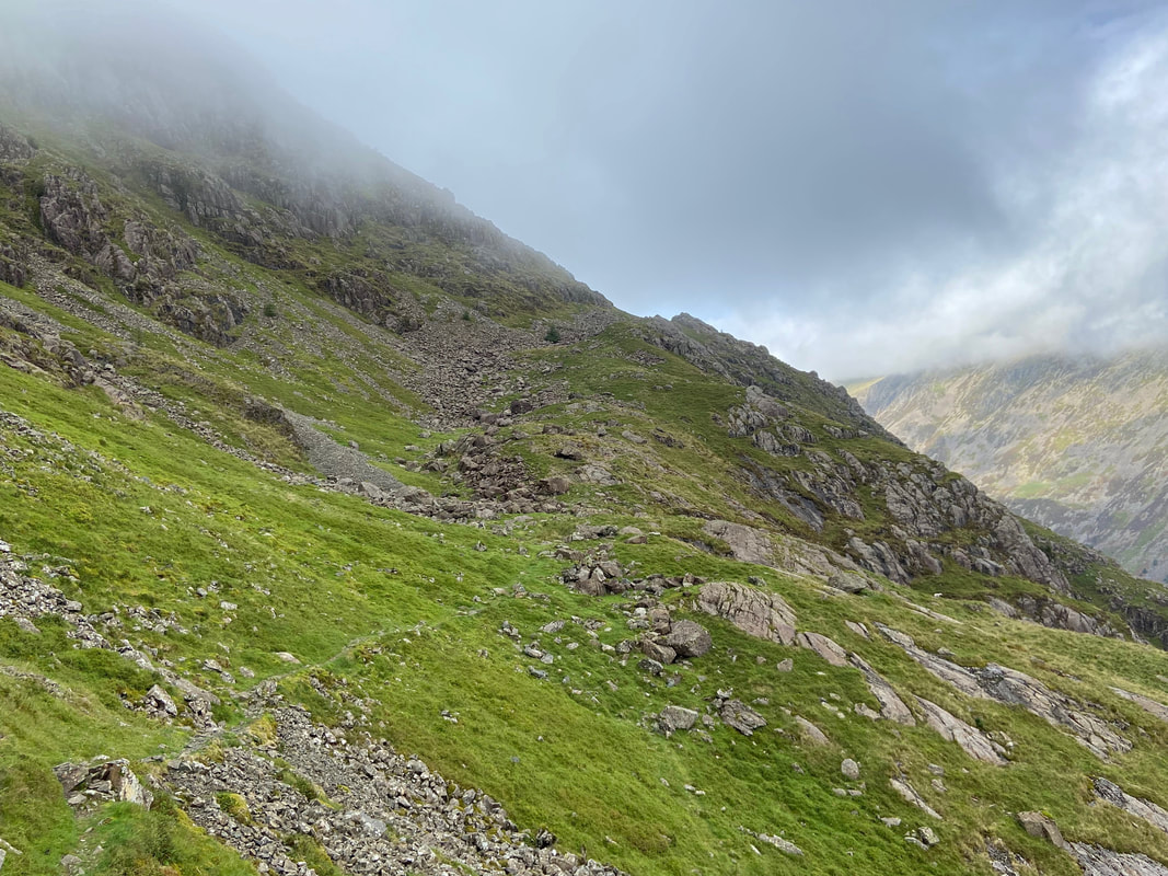
From Looking Stead's summit a path heads to the west which is the usual route to Pillar. After approximately 280 yards at Grid Reference NY 18407 11674 is a cairn which denotes the start of the High Level Traverse to Pillar. The Traverse was created by rock climbers in order to provide a quick way to Pillar Rock and associated climbs direct from Wasdale Head.
Looking Stead from the start of the High Level Traverse
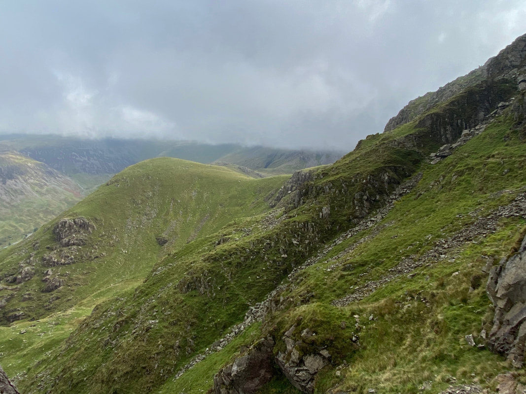
From the cairn the path is clear enough on the ground and drops steeply into Green Cove at first to begin its traverse across the northern slopes and coves of Pillar
Ennerdale from the High Level Traverse with Seat to the left & Haystacks over to the centre right. The path heading from right to left in the centre of shot leads to Scarth Gap from near Black Sail Hut.
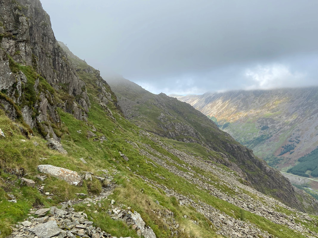
Whilst the path is there on the ground, I still needed to have my wits about me in order to follow it correctly.
Continuing my transit through Green Cove - the rocky knoll over to the right is Proud Knott
Looking Stead from the High Level Traverse. On most of the High Traverse photographs there doesn't seem to be any evidence of a path but I assure you there is one!
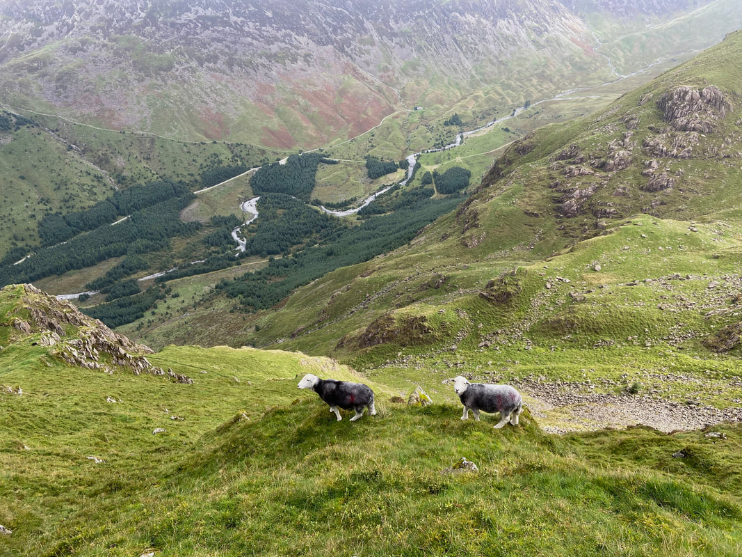
A couple of young Herdwicks eye my progress as I head way up above Ennerdale
Heading towards High Cove now as Robinson's Cairn comes into view way into the distance
Heading towards Robinson's Cairn. The path I am on can be seen coming in from the left and it continues on towards the cairn thorough the scree in the centre of shot
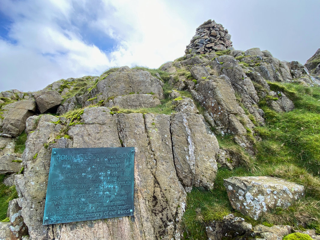
The memorial plaque sited below Robinson's Cairn. The cairn is a memorial to John Wilson Robinson, a pioneering rock climber and founder member of the Fell & Rock Climbing Club. The lower part of the inscription reads:
"We climb the hill from end to end
Of all the landscape underneath
We find no place that does not breathe
Some gracious memory of our friend"
"We climb the hill from end to end
Of all the landscape underneath
We find no place that does not breathe
Some gracious memory of our friend"
Wispy cloud on Pillar Rock - I sat here and had a spot of lunch in the hope that during my break the cloud would do one
Looking back to the High Level Traverse from Robinson's Cairn - a peach of a route and one I never tire of
Robinson's Cairn with High Stile & High Crag above Ennerdale to the rear with Great Borne over to the left
Time to crack on as the cloud does its best to accede to my wishes and go somewhere else
Starling Dodd, Red Pike, High Stile & High Crag from Robinson's Cairn
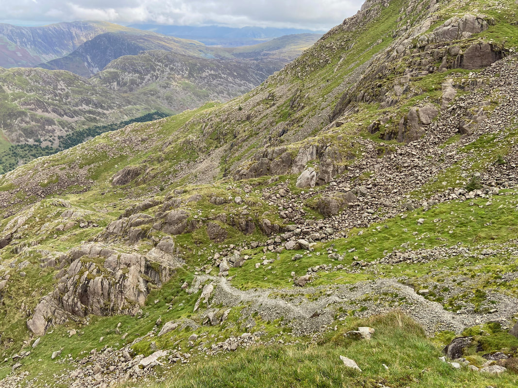
From Robinson's Cairn the route heads over a rough scree path towards the start of the Shamrock Traverse
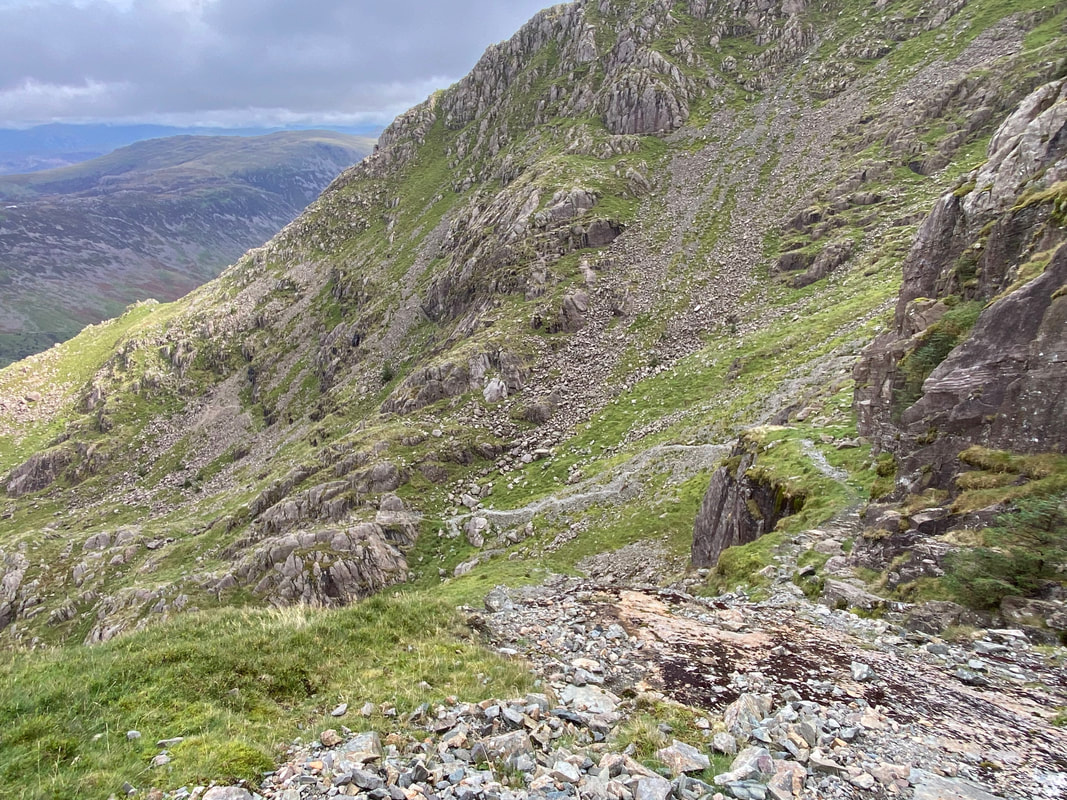
Looking back to Robinson's Cairn from below the Shamrock Traverse
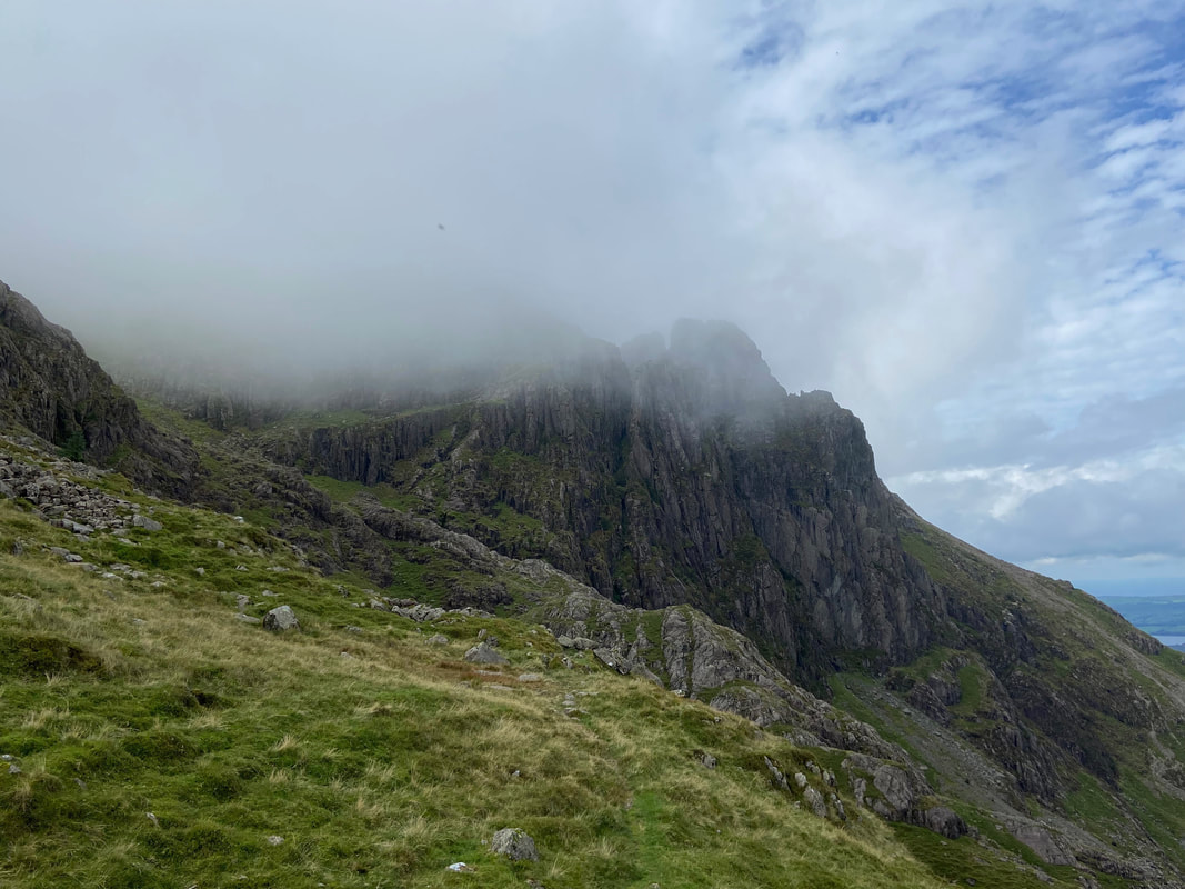
Pillar Rock from beneath the Shamrock Traverse
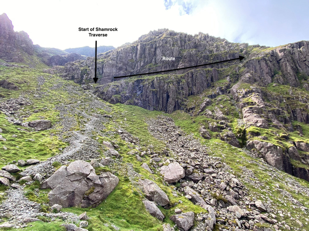
The route reaches a zig zag path below the Shamrock Traverse which can be seen on the left of shot - this is Great Doup. The path reaches a shelf which slopes gently up to the right across Shamrock Crag - this is the Shamrock Traverse. The name originates from the fact that from some angles the crag appears to be part of Pillar Rock but is separated from the rock by the chasm of Walker's Gully hence the name 'sham rock'.
The start of the Shamrock Traverse
Looking down to the zig zag path from the Shamrock Traverse
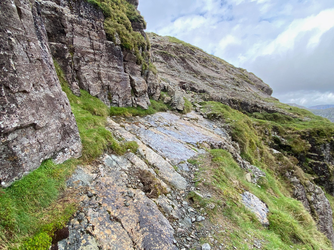
About half way along the traverse is a section of tilting slabs. Extreme care needs to be taken here as more often than not the slabs are covered in water making the transit over them slippy. Once clear of the slabs the route turns to the left to climb up a rock groove.
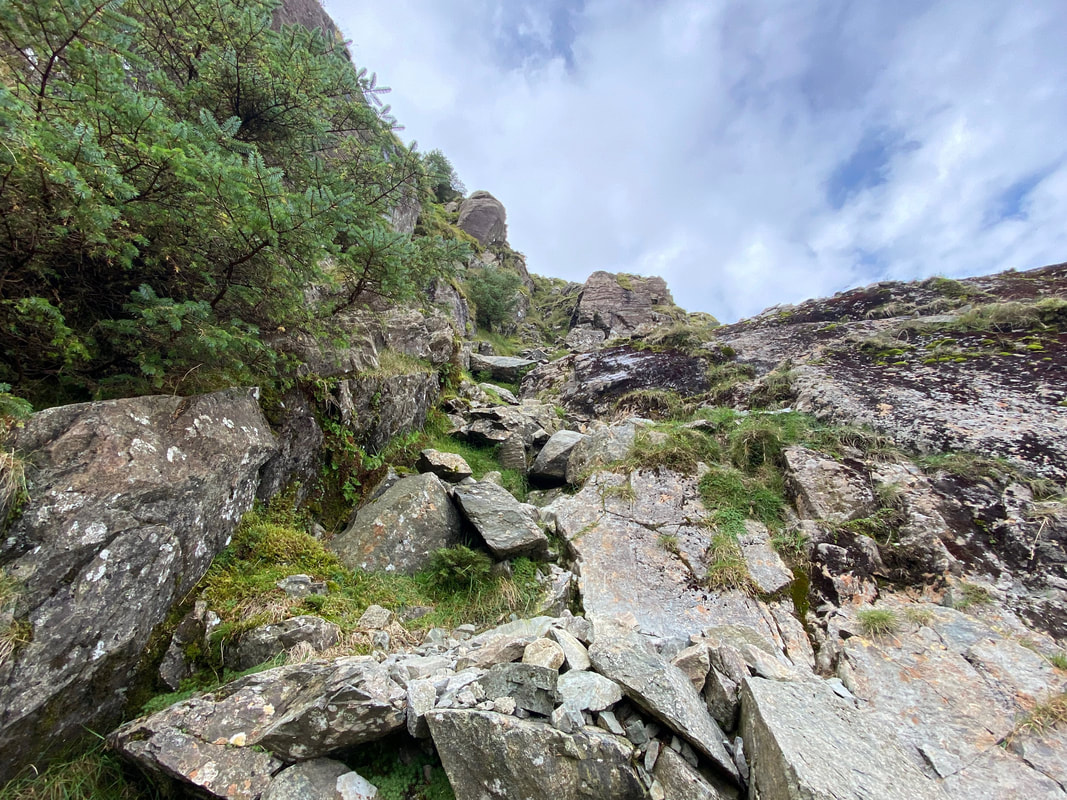
The rock groove - nothing difficult about it
Looking back down the Shamrock Traverse from half way up the rock groove
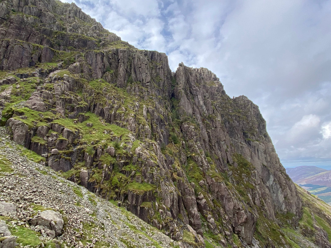
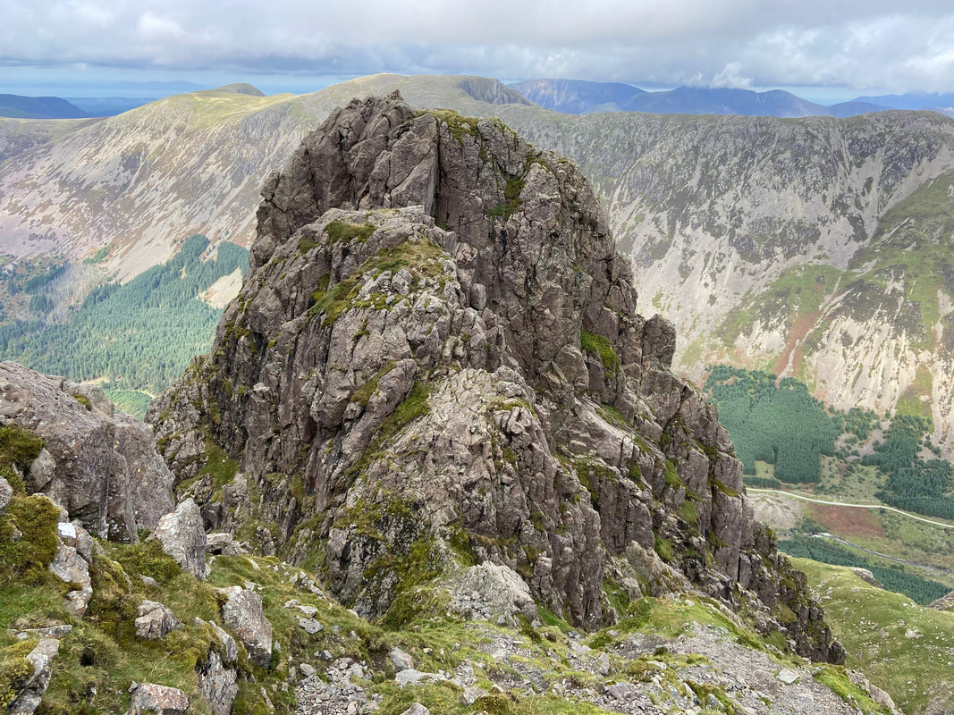
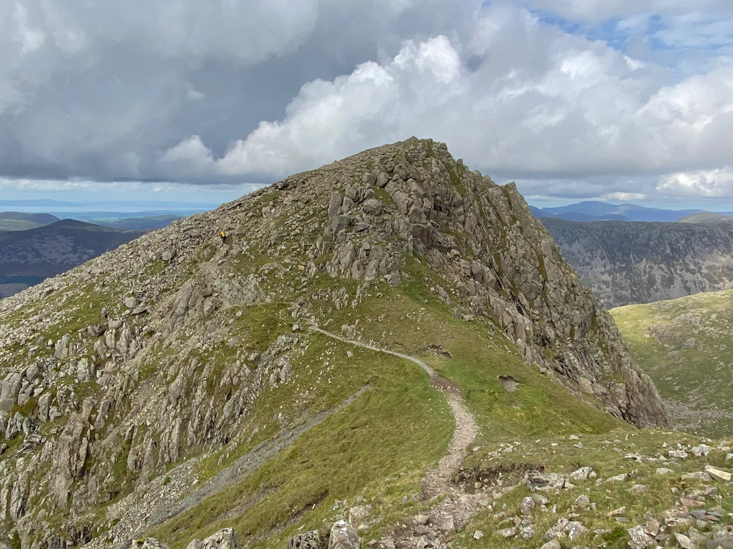
The end of the Shamrock Traverse at Pillar Rock. This really is an amazing sight when you are stood right by it. As Wainwright stated in Book 7, Pillar Rock is "a conspicuous feature on the north face directly below the top, the most handsome crag in Lakeland" (Pillar 2). The sloping slab in the centre of shot is the start point for the popular "slab & notch" route that climbers use to reach the summit of Pillar Rock.
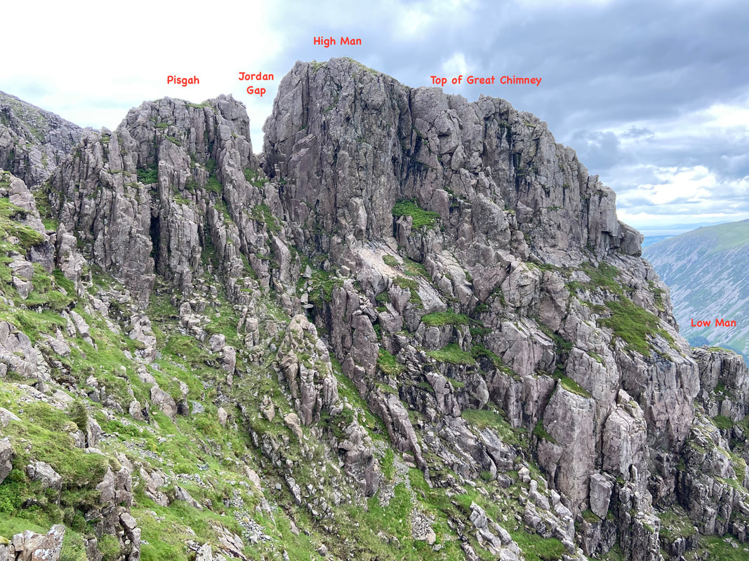
A view of Pillar Rock from a little further up as I ascended the last 300 yards to the summit of Pillar. Pisgah is to the front with High Man behind. The sloping slab of the climbers popular "Slab & Notch" route can be seen a bit clearer on the right. The picture makes the route over to the summit on High Man look an absolute doddle. However, Pillar Rock is strictly off limits to walkers and should only be attempted by experienced climbers with the correct equipment.
It is almost 200 years since Pillar Rock was first climbed by Ennerdale man John Atkinson in 1826. Prior to that it had been deemed inaccessible. In the early 19th century it became widely known as one of the wonders of the Lake District, chiefly due to it featuring in William Wordsworth's poem "The Brothers"
You see yon precipice, it almost looks
Like some vast building made of many crags
And in the midst is one particular rock
That rises like a column from the vale
Whence by our Shepherds it is call'd, the Pillar
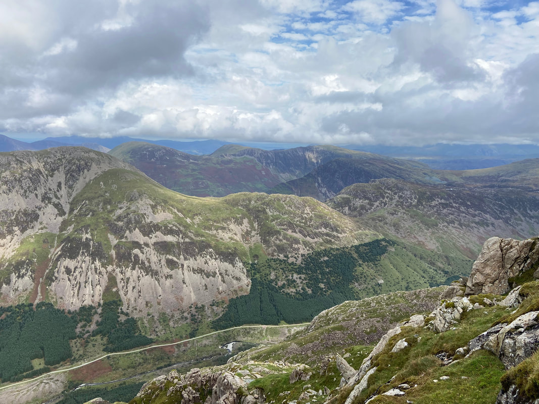
The superb view over Ennerdale to High Crag, Gamlin End, Seat & Haystacks with Dale Head, High Spy, Fleetwith Pike & Maiden Moor beyond
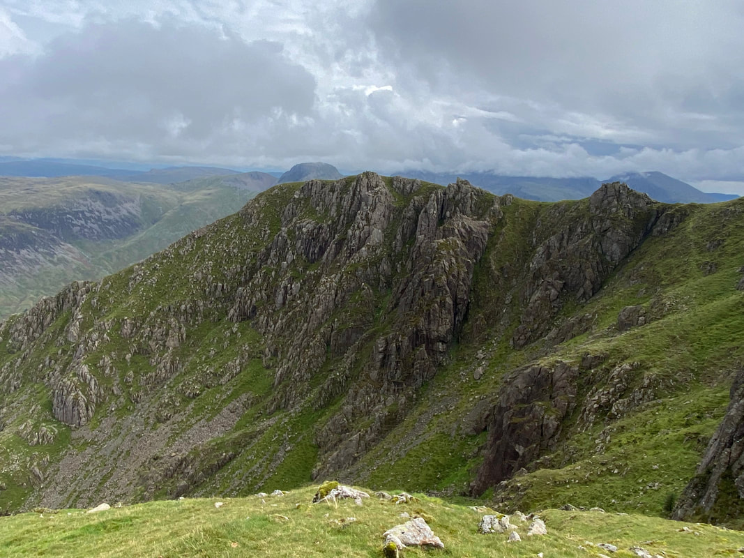
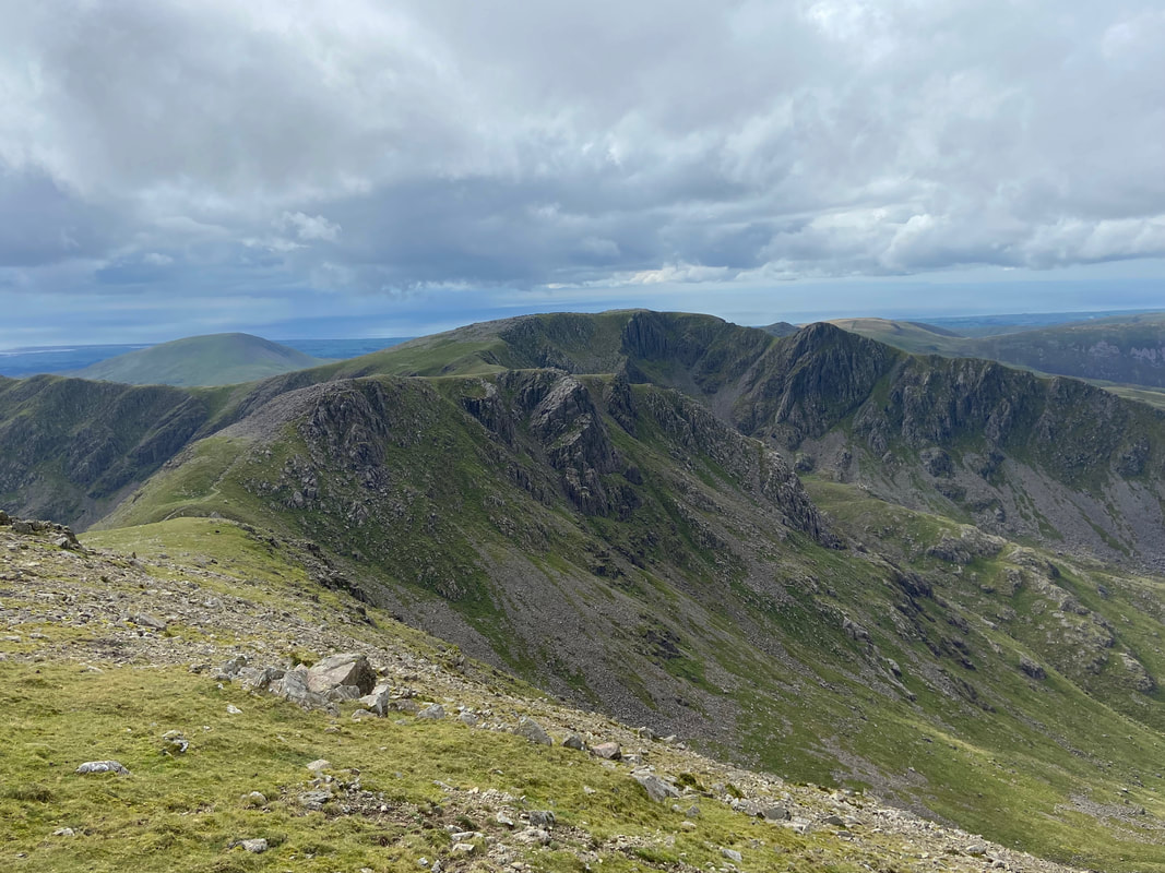
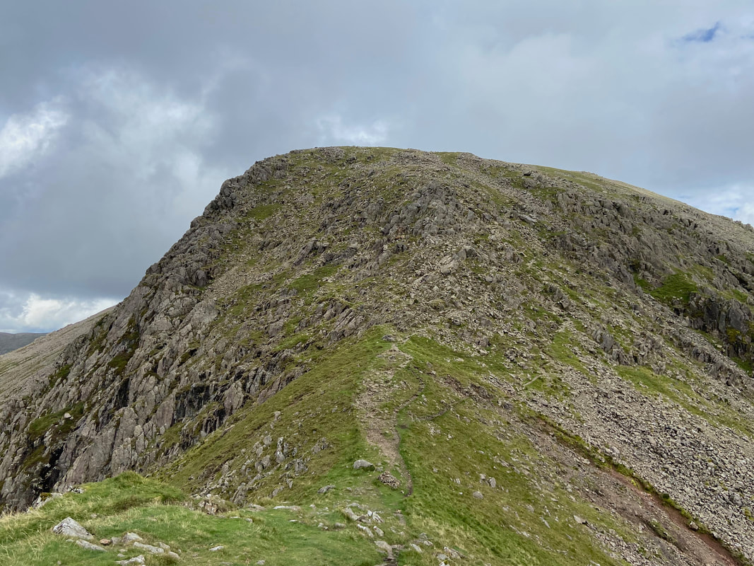
Looking across to Pillar's summit ridge above Great Doup
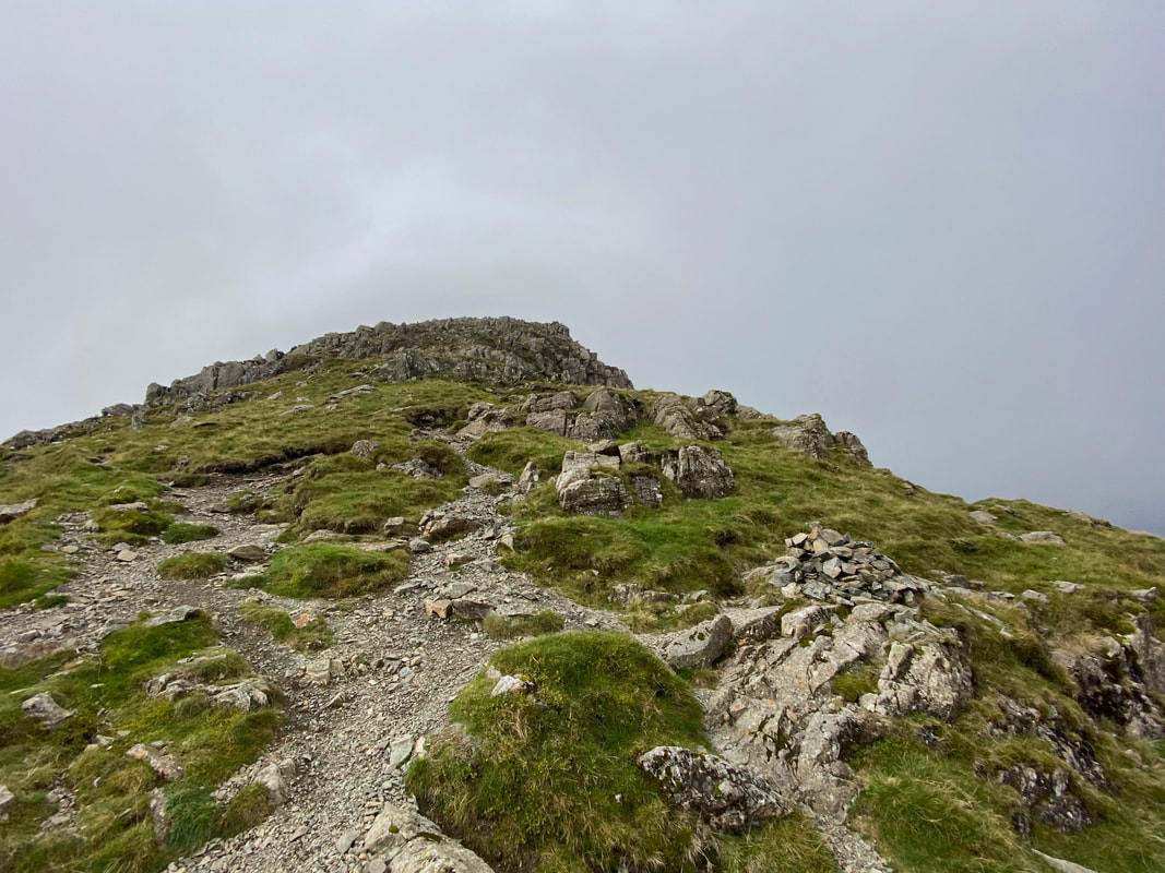
After a steep climb the route eventually levels out at a wind shelter leaving a short wander over to the summit
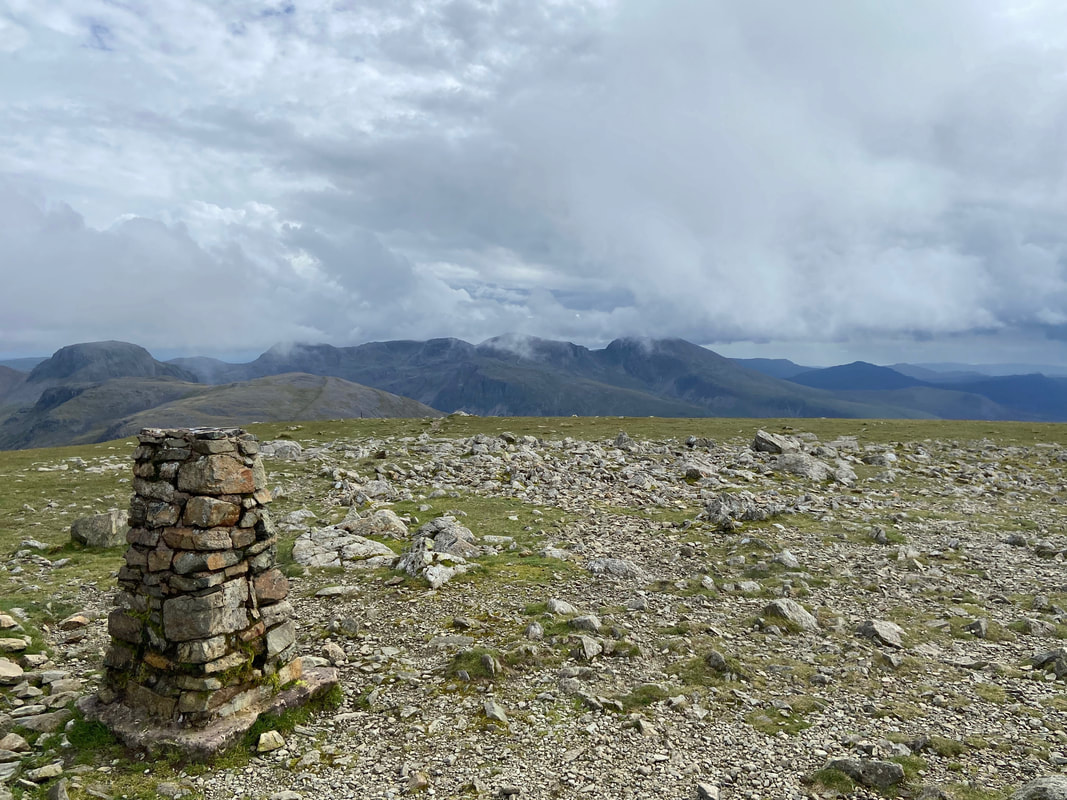
The summit of Pillar looking over to The Scafells with Great Gable to the left
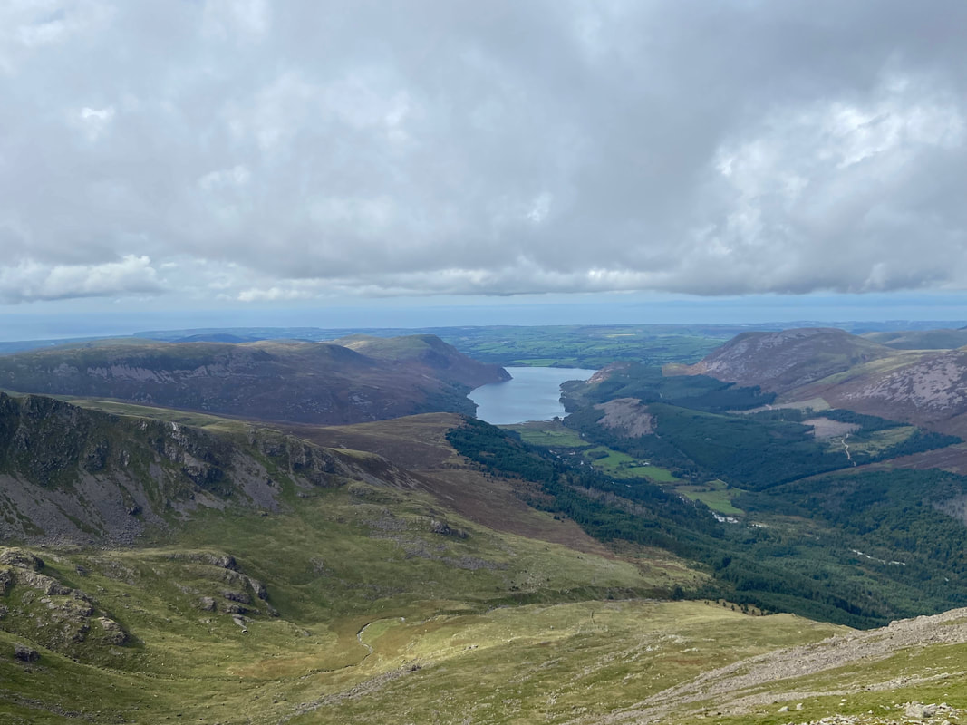
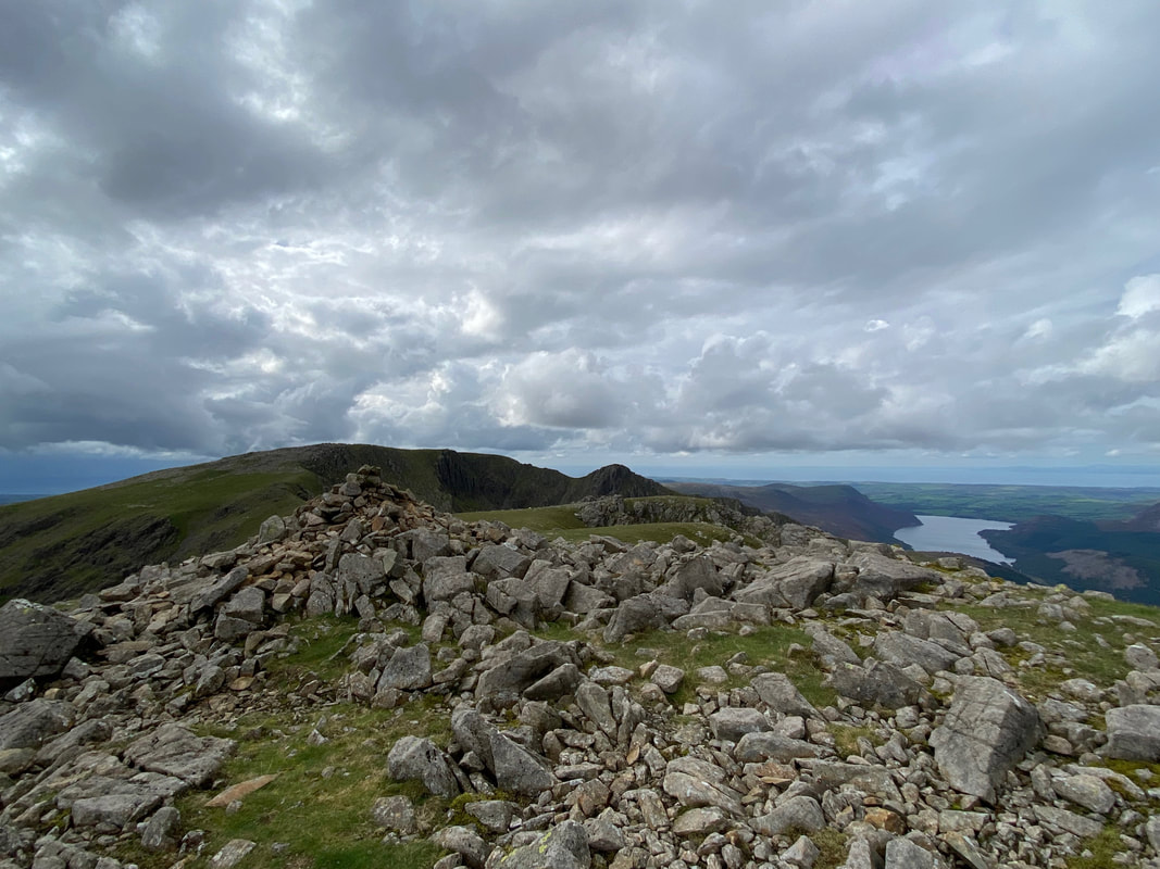
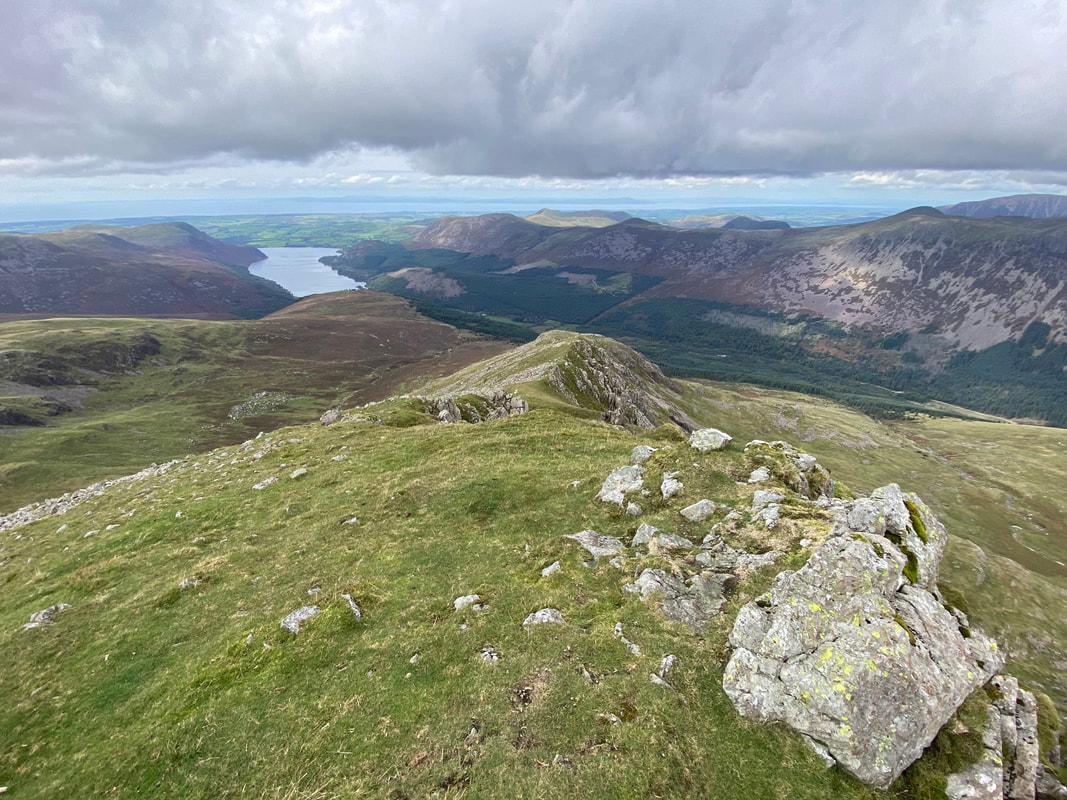
Ennerdale Water from Pillar
From Pillar my route stretched out before me. The lower slopes of Red Pike are to the left with Wind Gap below. From left to right are Seatallan, Black Crag Scoat Fell, the tip of Haycock, Little Gowder Crag, Steeple & Caw Fell.
The descent from Pillar to Wind Gap with Red Pike to the left & Black Crag to the right
The cairn at Wind Gap
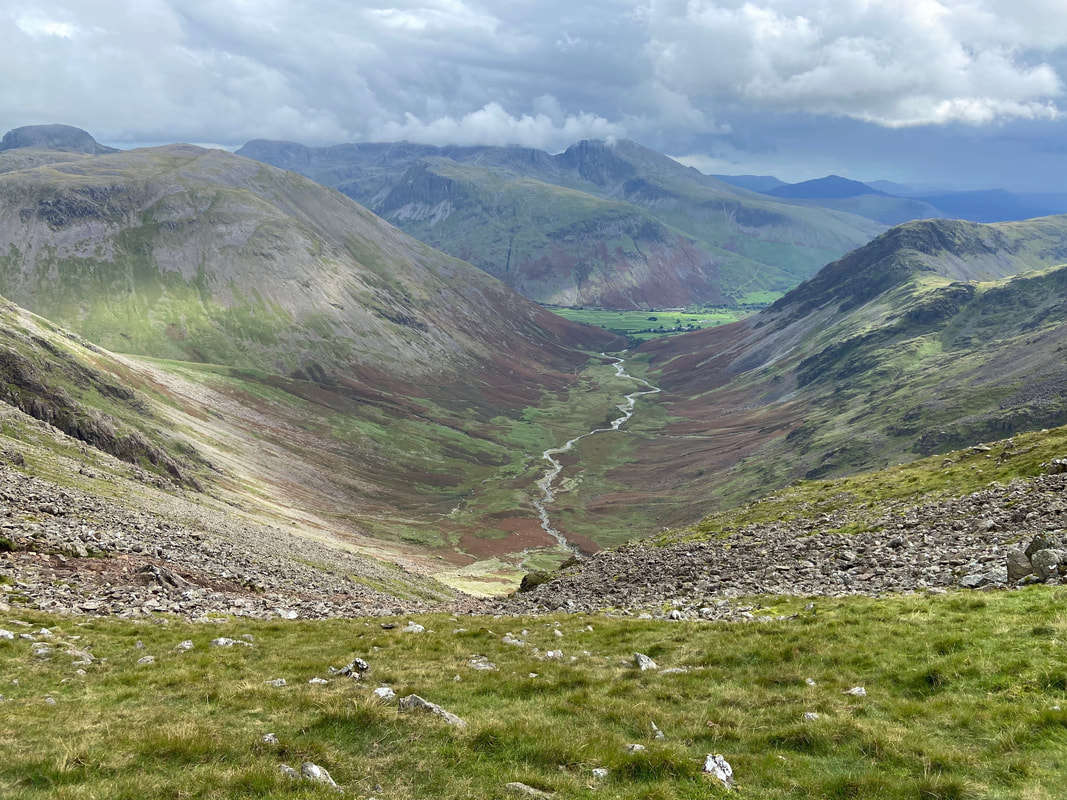
Mosedale with Wasdale Head beyond from Wind Gap
Looking back to Wind Gap and my descent from Pillar
Kirk Fell across Mosedale with Great Gable beyond - The Scafells are over to the right across Lingmell
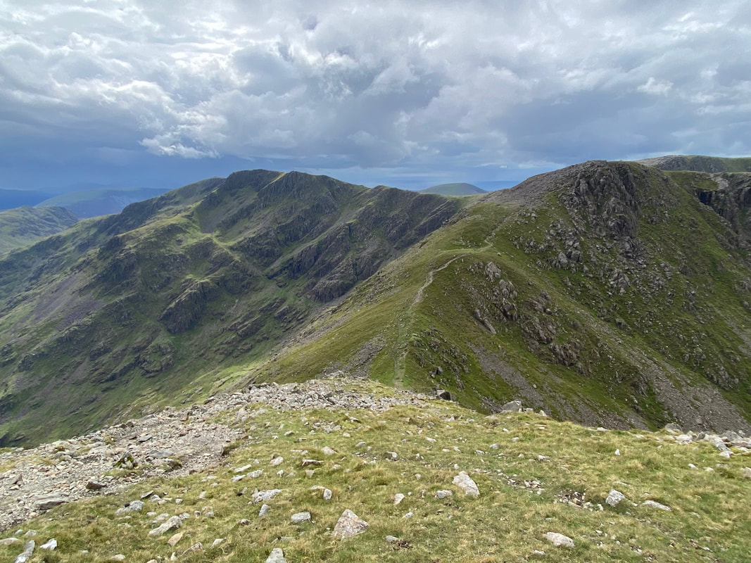
Pillar & Wind Gap from Black Crag
The summit of Black Crag
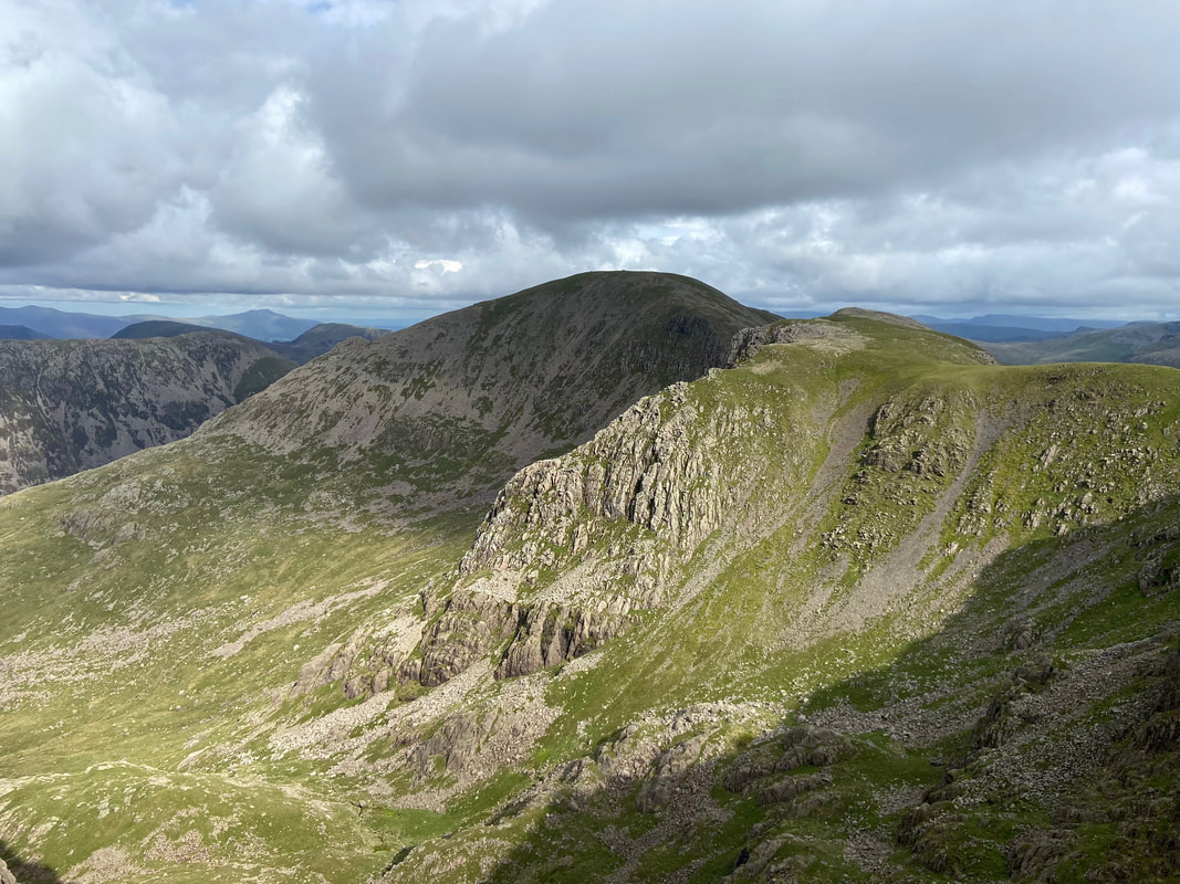
Red Pike from Black Crag
Steeple across Mirk Cove
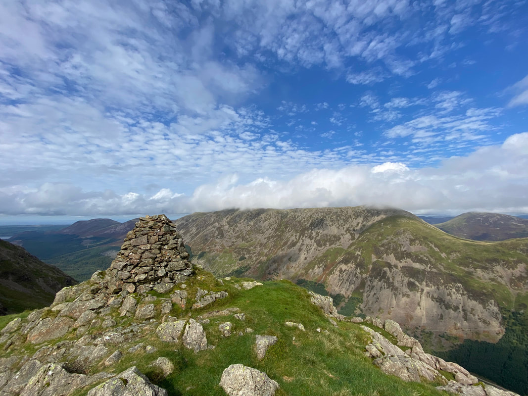
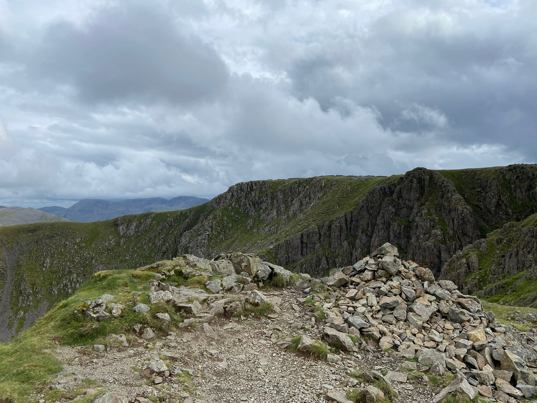
The small cairn on the wall near the summit of Scoat Fell
Haycock, Little Gowder Crag & Caw Fell from Scoat Fell - the path to Steeple is over to the right
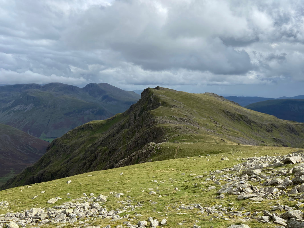
The path to Steeple - this route scares the life out of some people but looks a lot worse than it actually is
Approaching the col before the final climb to Steeple
Looking into Mirkiln Cove to Great Scoat Fell & Haskett Buttress
Steeple's north ridge looking down to Long Crag. We have climbed Steeple this way quite a few times and it is a lovely route.
A panorama from the summit of Steeple
The cairn that marks the summit of Steeple looking across Mirk Cove to Scoat Fell
Pillar, Wind Gap & Black Crag from Steeple
The route to Red Pike from Scoat Fell with the Scafells over to the left
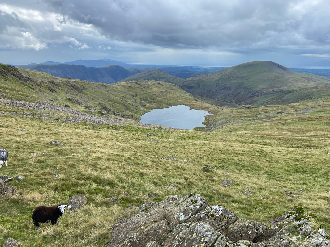
A young Herdwick watches me closely as we look down to Scoat Tarn with Seatallan & Middle Fell beyond
Looking into Mosedale with the southern slopes of Pillar to the left, Black Sail Pass left of centre and Kirk Fell & Great Gable to the right
Pillar
The summit of Red Pike - one of only a few summits you can't actually walk around as it sits on a precipice
Low Tarn below Red Pike with Wastwater to the rear
A few yards off the main path between Red Pike & Dore Head is the Chair Cairn. I always make the effort to wander over - the chair can be located at Grid Reference NY 16548 10049.
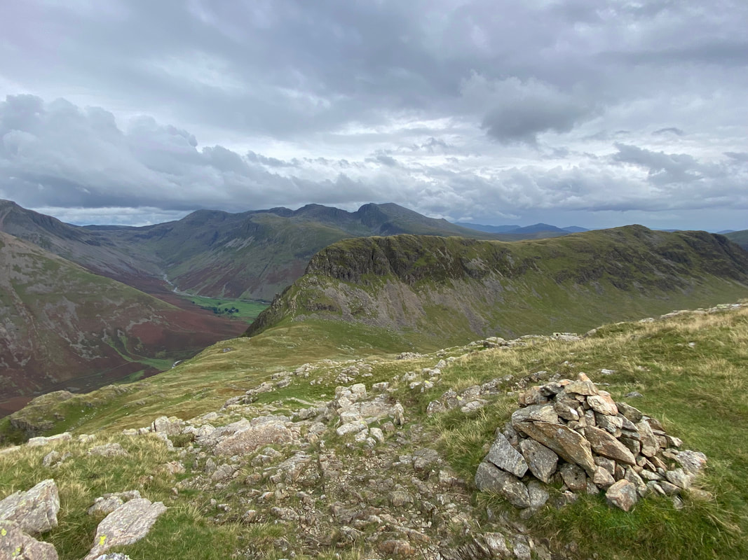
The cairn at the top of the steep descent down to Dore Head with my next objective of Stirrup Crag & Yewbarrow beyond
Nearing the base of the descent and the sun decides to pop out for a bit
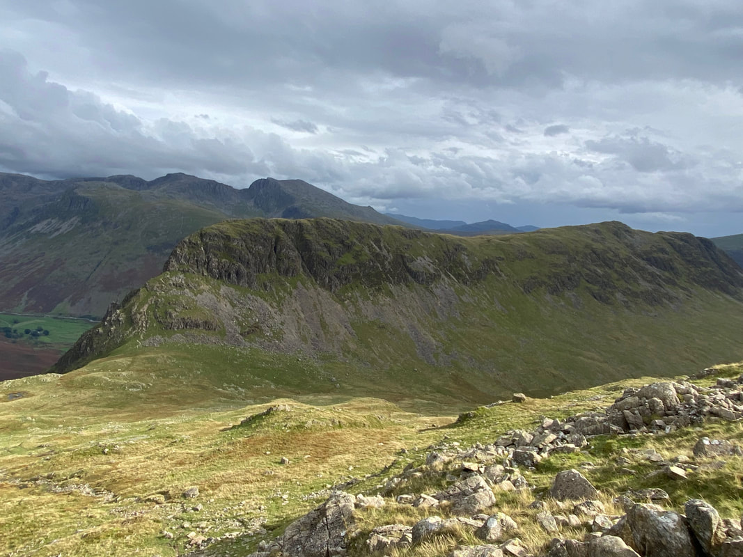
Approaching Dore Head and the daunting climb up Stirrup Crag awaits
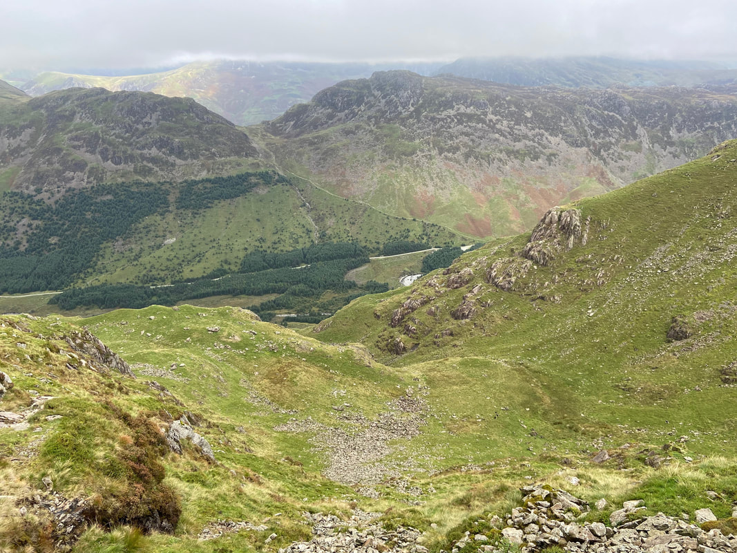
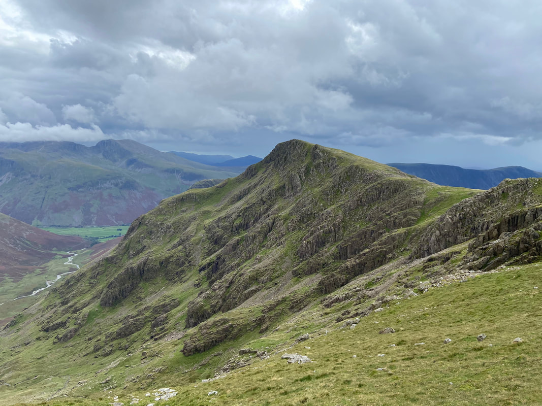
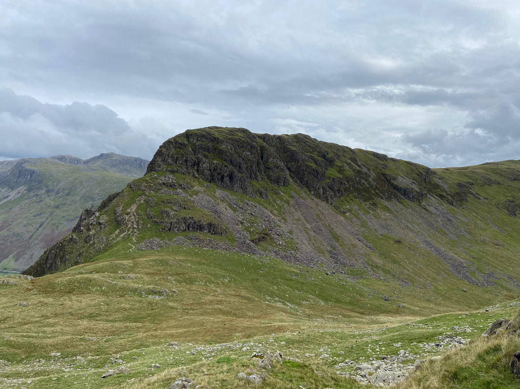
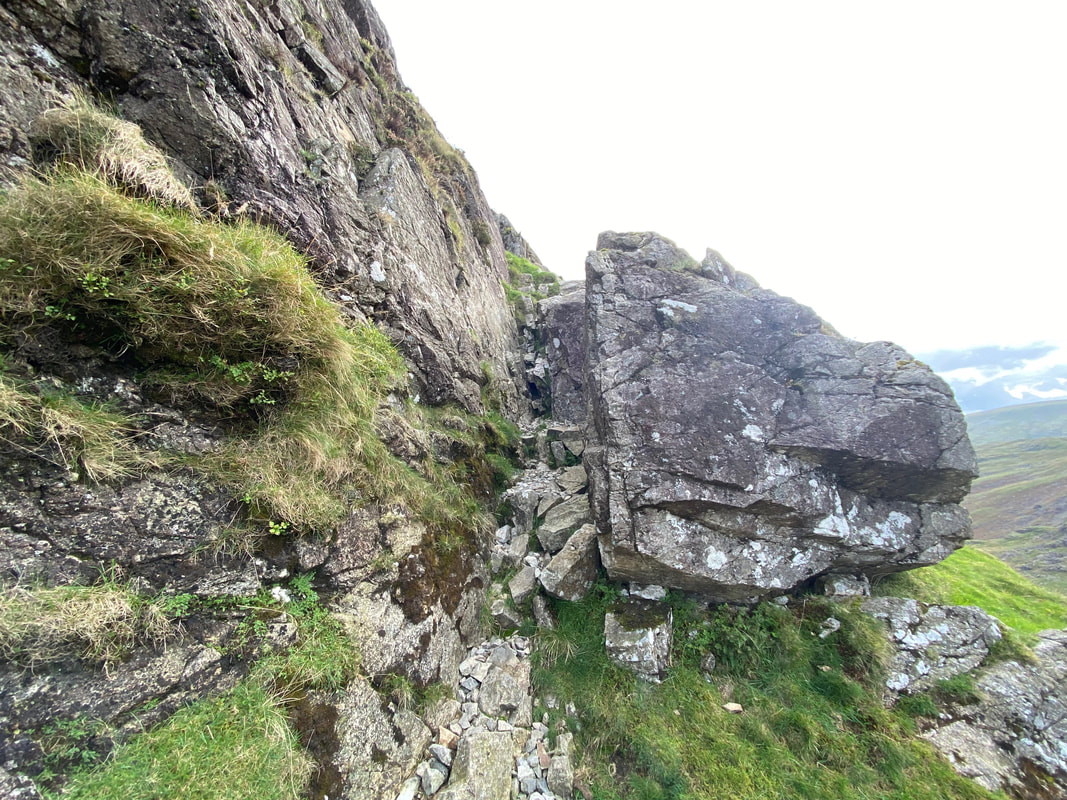
The base of Stirrup Crag - going up or down this route is always a cracking scramble and one which you just have to take your time over, particularly on the ascent. For those people who do not fancy it, heading to the right will take you to the slanting path that ascends Yewbarrow via the western slopes.
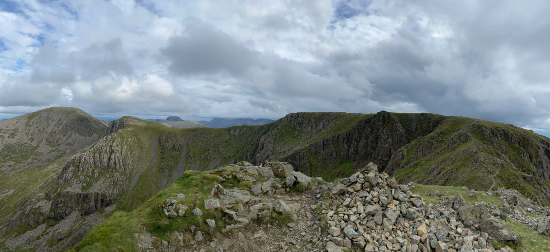
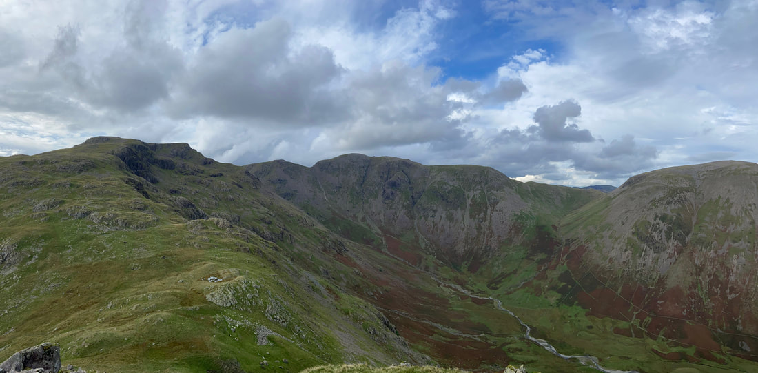
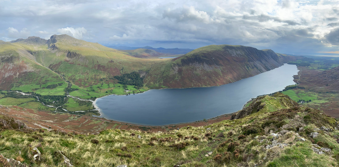
A panorama of most of today's route taken from the ascent of Stirrup Crag
The final part of the scramble up Stirrup Crag is via a rock groove
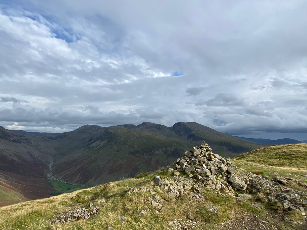
The cairn on the summit of Yewbarrow North Top
Whilst I did not have the light today, the view from Yewbarrow to the Scafells is still superb
The summit of Yewbarrow looking to Red Pike - by this time I was starting to feel a tad weary but took comfort from the fact that all I had left to do was the knee jarring descent from Yewbarrow down to Overbeck Bridge
Meanwhile waiting back in Wasdale, Fudge was wondering where on earth I had been all day
The Scafells, Wastwater, Illgill Head & Whin Rigg from Yewbarrow
Brackenclose below Yewbarrow with The Scafells beyond and Lingmell to the left
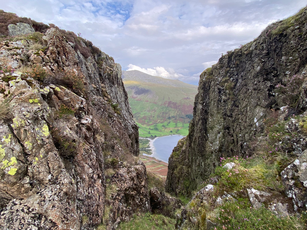
Great Door - even though I have been here many times this view always takes my breath away
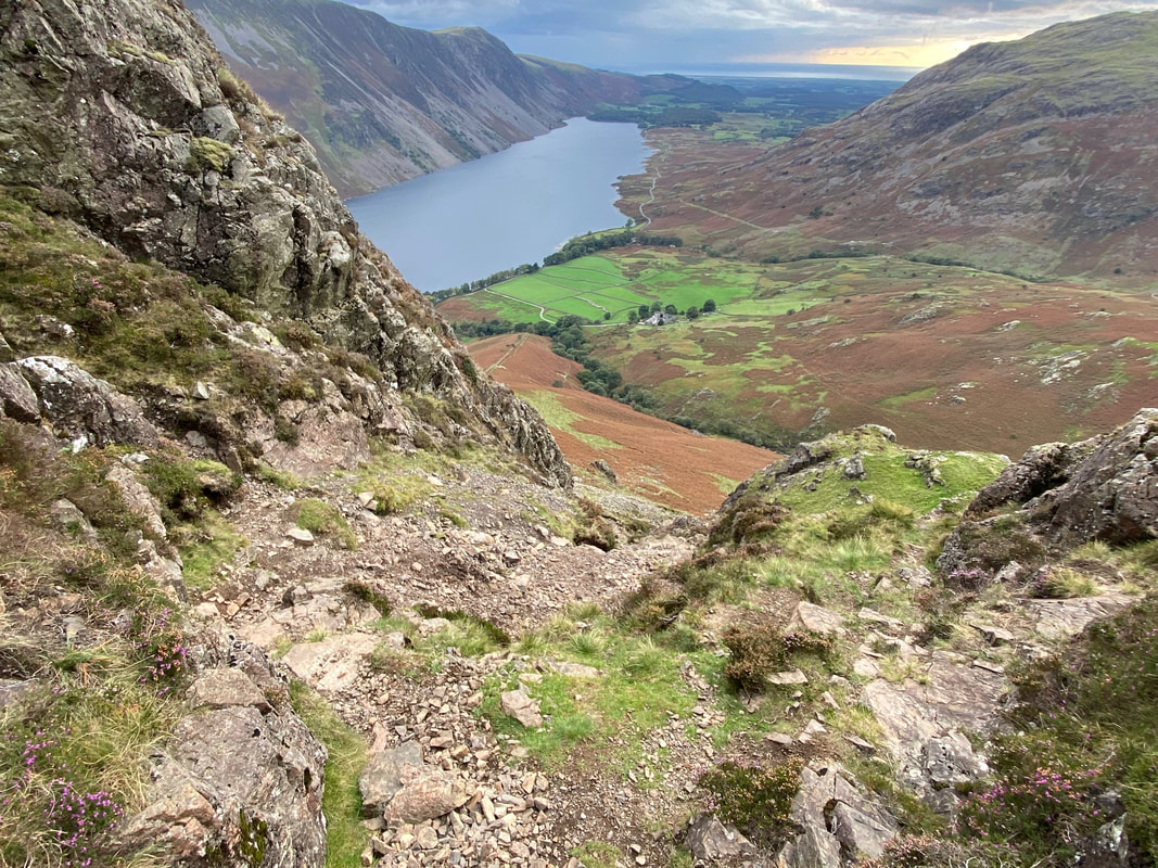
The steep and stony descent from Yewbarrow - again, I just took my time and in places deployed my arse crampon
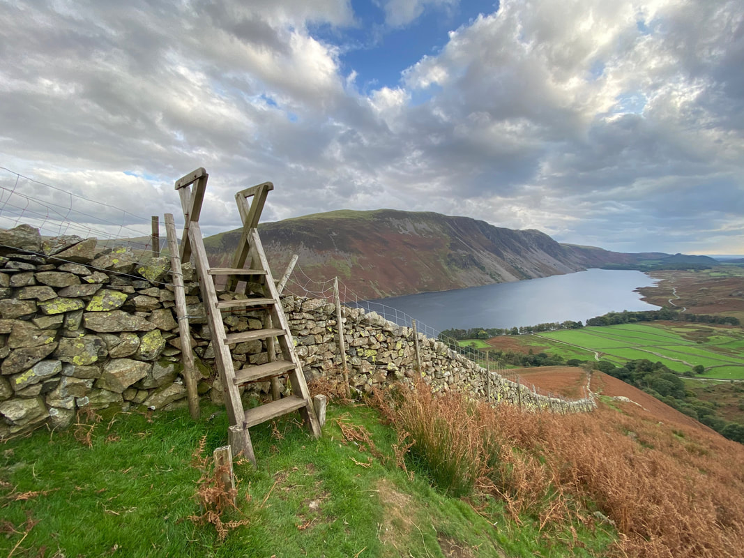
With the steep descent accomplished, a large ladder stile crosses the wall to descend steeply once more down to Overbeck Bridge
Approaching Overbeck Bridge
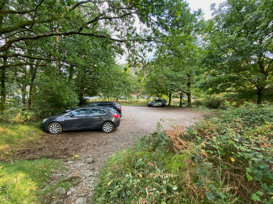
The Car Park at Overbeck Bridge - at the entrance I turned left to make my way to Wasdale Head via the access road
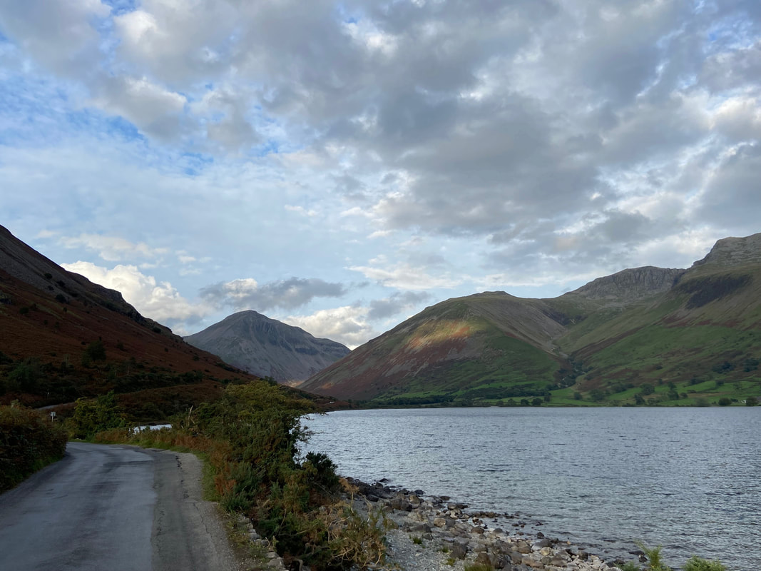
From Overbeck Bridge it is a transit of about a mile and a half to Wasdale Head. By now it was early evening and the road was very quiet
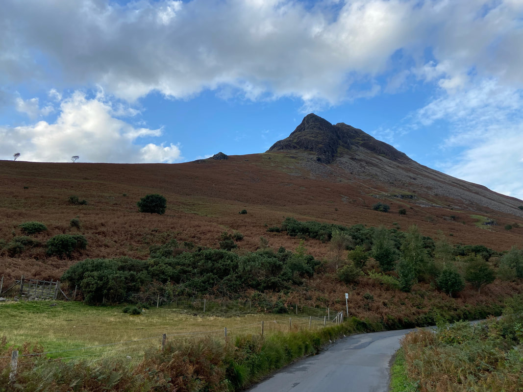
Yewbarrow from the road to Wasdale Head
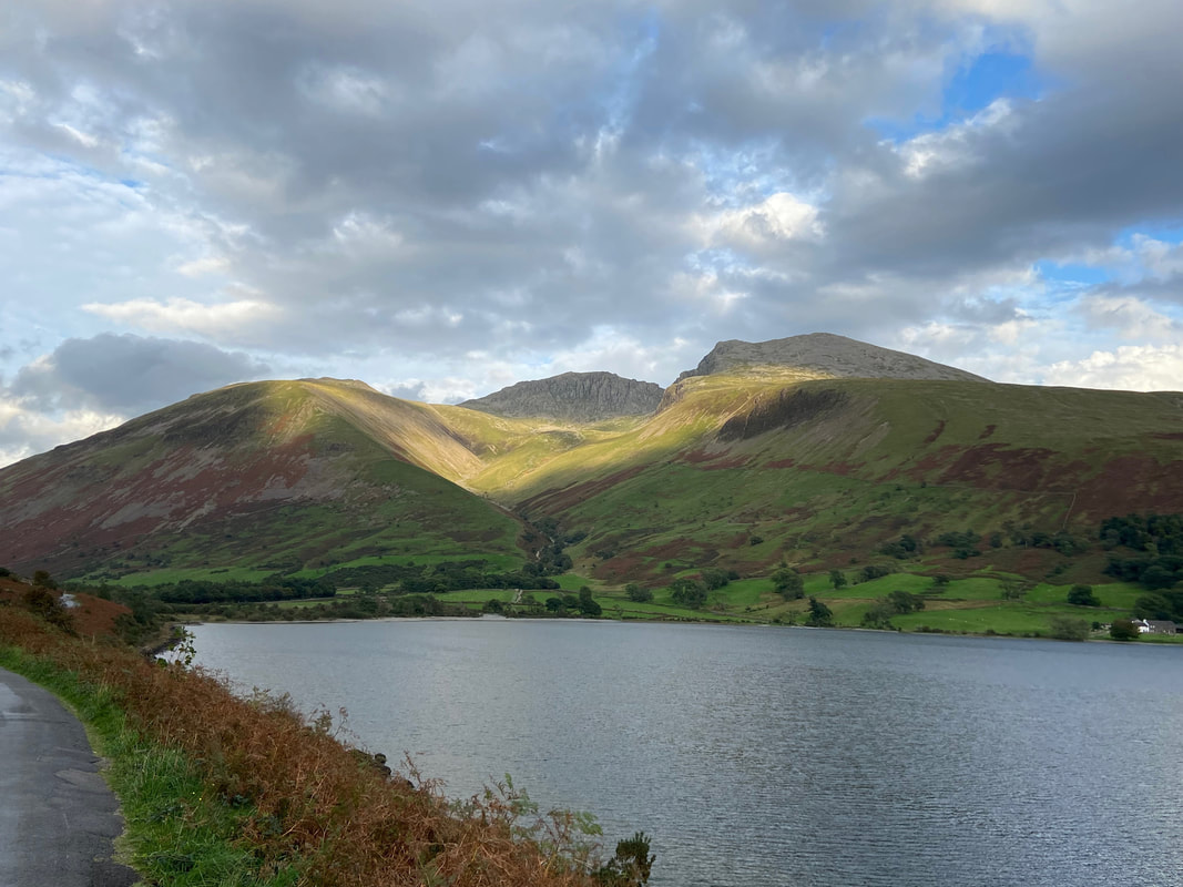
Sunshine on the Scafells
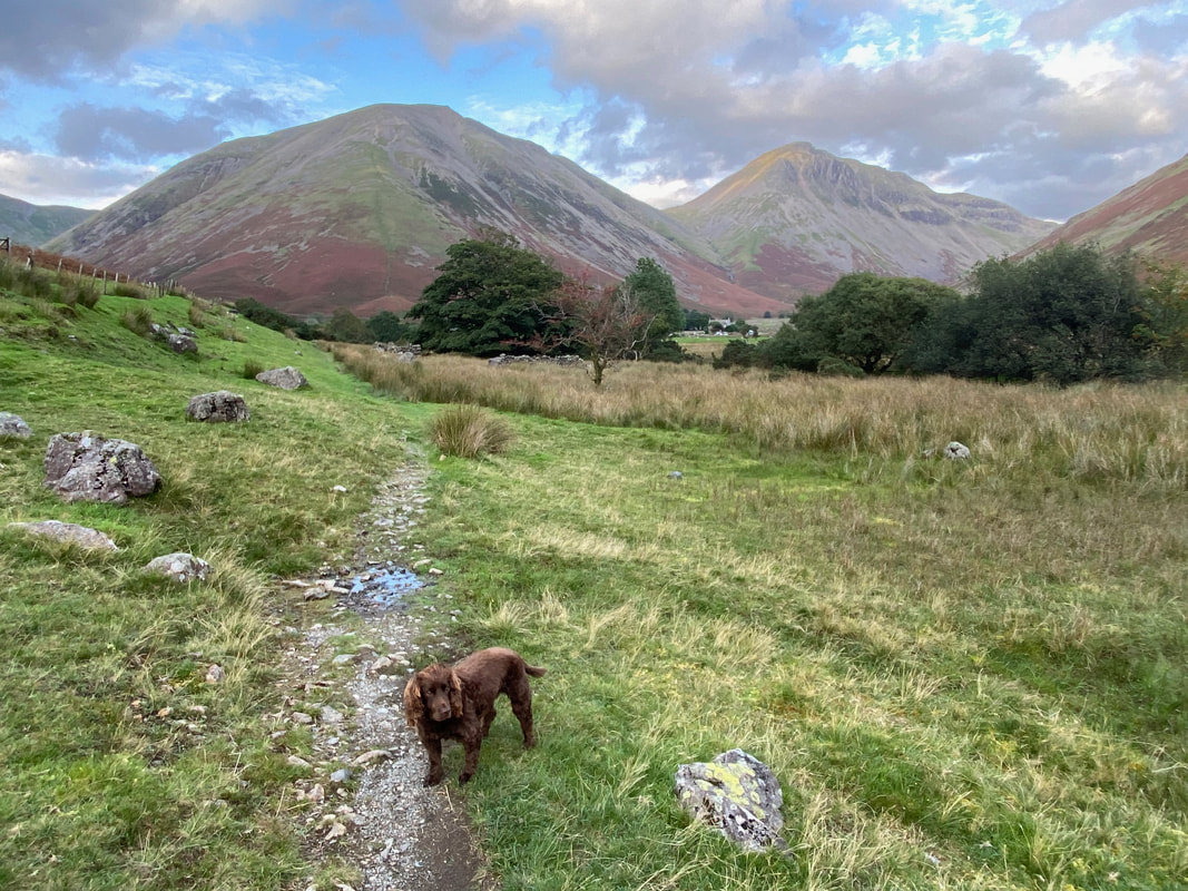
Meeting Fudge & Angie at Down in the Dale - he had bit of a sulk on as I had gone walking without him but soon cheered up
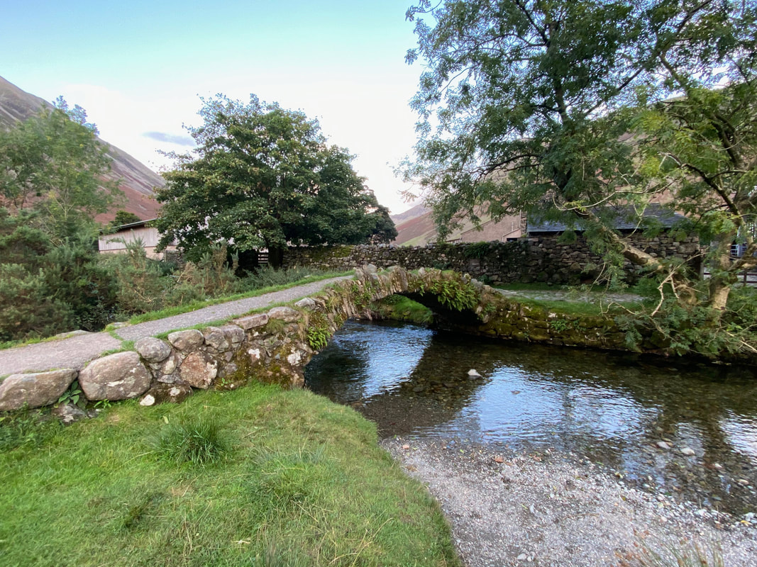
The packhorse bridge at Wasdale Head - after such a long day it was time for a nice cold beer in the Wasdale Head Inn
