Invermoriston & The Great Glen Way - Friday 22 April 2022
Route
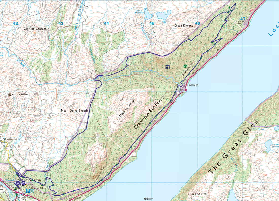
Invermoriston - Great Glen Way (High Route) - Alltsigh - Creag-nan-Eun Forest - Great Glen Way (Low Route) - Invermoriston
Parking
We started the walk from our B&B in Invermoriston, however there is parking at the Invermoriston Falls Car Park on the A82 (Free). The Grid Reference is NH 42060 16722 and the nearest postcode is IV63 7YA.
Mileage
11.7 miles
Terrain
Good forest tracks and paths throughout.
Weather
Overcast during the morning turning to warm sunshine in the afternoon.
Time Taken
4hrs 40mins
Total Ascent
3005ft (916m)
Map
OS Explorer 416 - Inverness, Loch Ness & Culloden
Walkers
Dave, Angie & Fudge
|
GPX File
|
| ||
If the above GPX file fails to download or presents itself as an XML file once downloaded then please feel free to contact me and I will send you the GPX file via e-mail.
Route Map
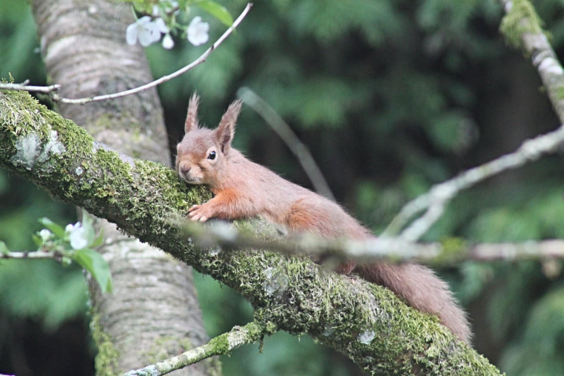
An extremely photogenic Red Squirrel in the garden of our B&B (photo courtesy of Lindsey & Manda at Craik Na Dav)
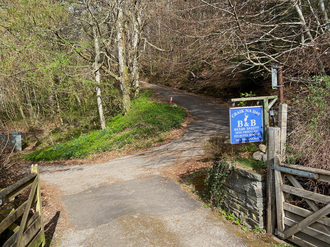
We were staying in Invermoriston at the lovely Craik Na Dav which is run by sisters Lindsey & Manda. Today's route runs right past the front door of the B&B therefore was just perfect. We were staying here as part of our 2022 Scotland trip. A link to the B&B website is here
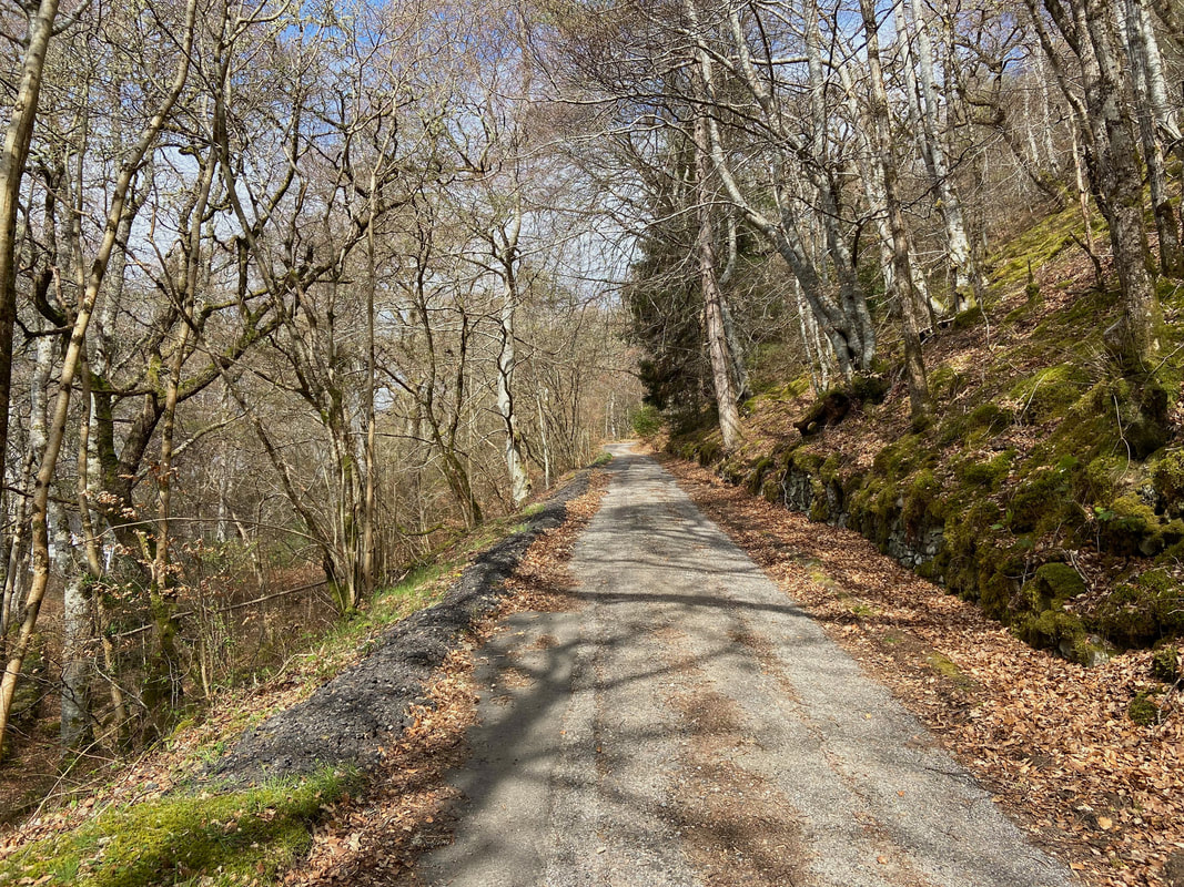
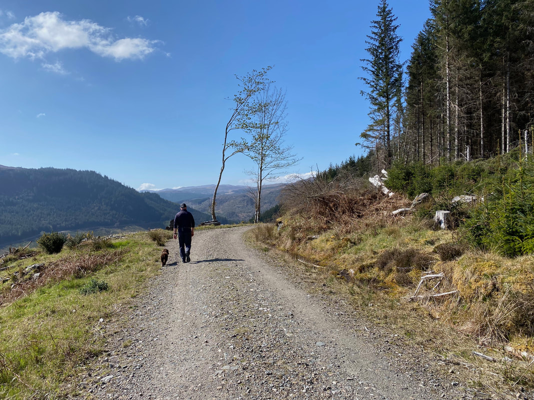
From Craik Na Dav the Great Glen Way heads gently up a rising track which is the access road for the crofting settlement at Achnaconeran.
Opened in 2002, The Great Glen Way is a 78 mile (125km) walk that follows the Great Glen from Fort William in the South West to Inverness in the North East. The trail is generally walked from South to North in order to follow the direction of the prevailing wind. The trail is maintained and improved by the Great Glen Ways partnership.
Opened in 2002, The Great Glen Way is a 78 mile (125km) walk that follows the Great Glen from Fort William in the South West to Inverness in the North East. The trail is generally walked from South to North in order to follow the direction of the prevailing wind. The trail is maintained and improved by the Great Glen Ways partnership.
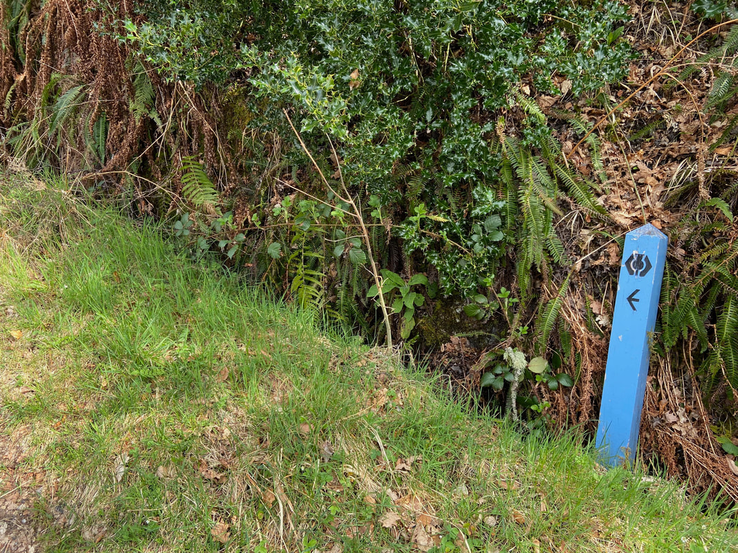
The route today was extremely well way marked with blue posts emblazoned with a thistle
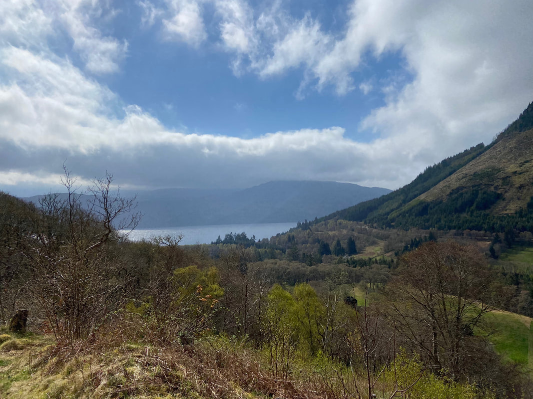
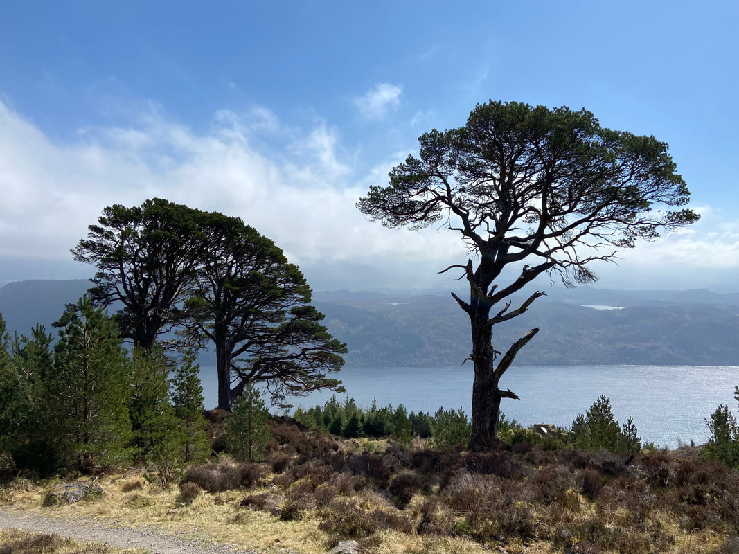
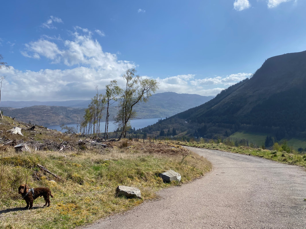
Looking down the Great Glen in the direction of Fort Augustus - the body of water is of course Loch Ness
......... and I'll be in Scotland afore ye
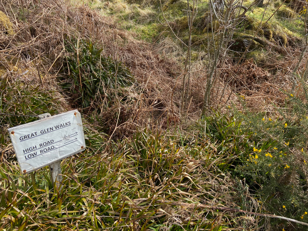
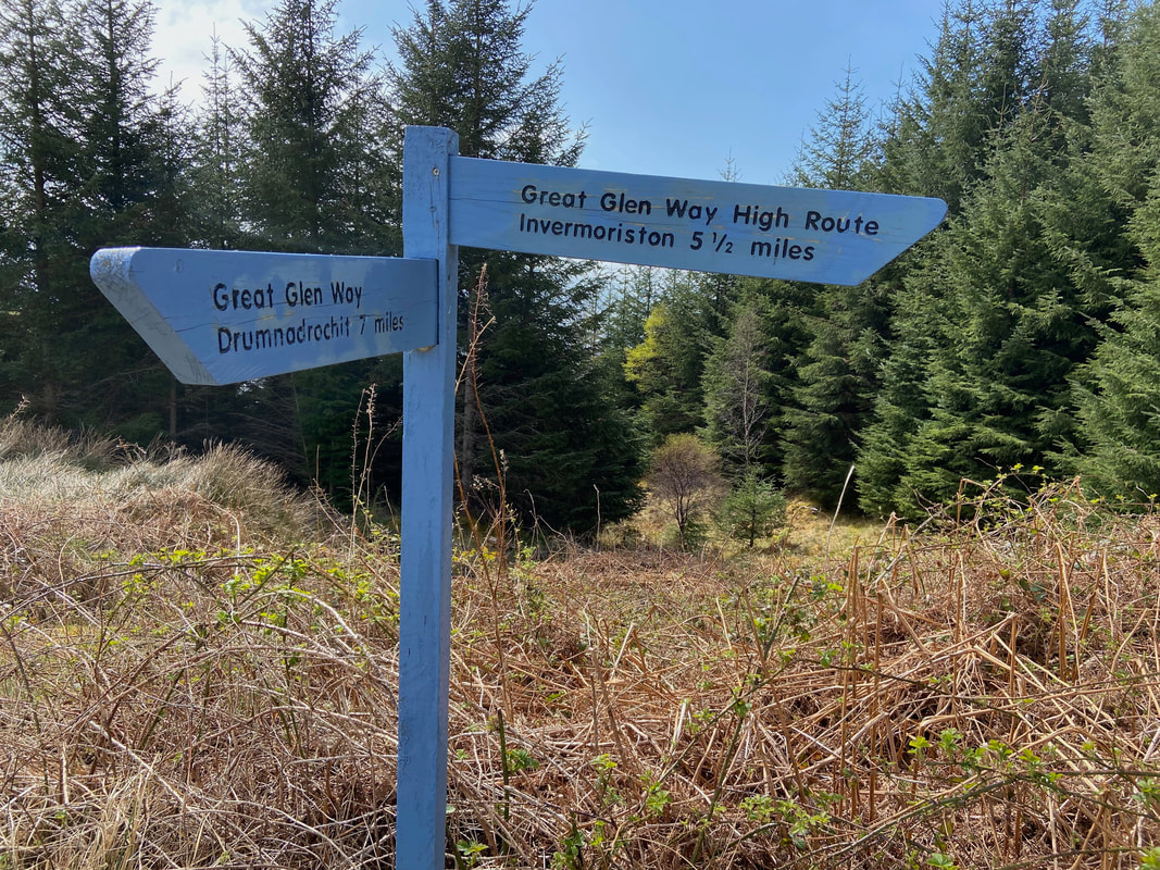
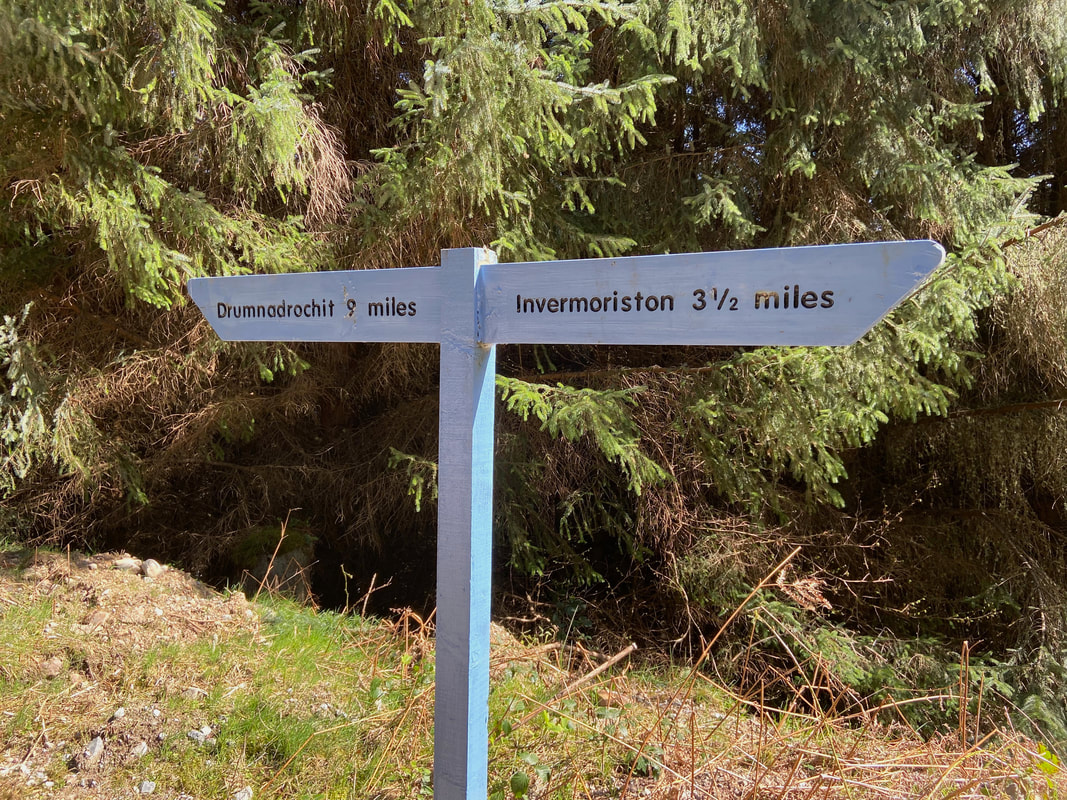
The point at which the Great Glen Way splits into the High & Low Route. We would be taking the High Route which heads off to the left. The High Route was devised in order to increase the views along the way and also help avoid forestry operations.
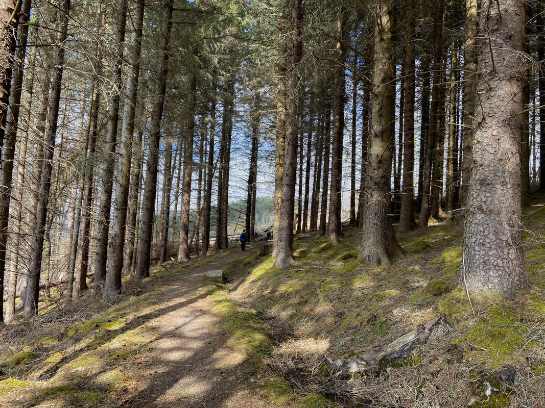
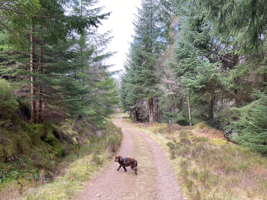
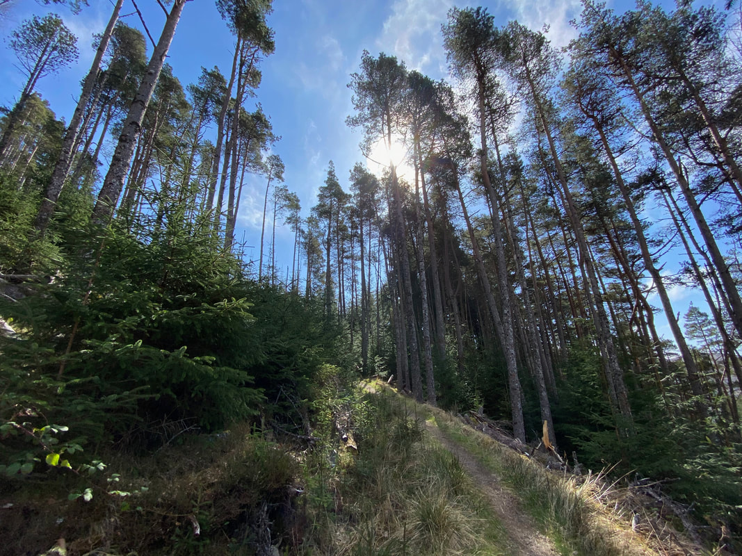
The route heads gently uphill through the forest
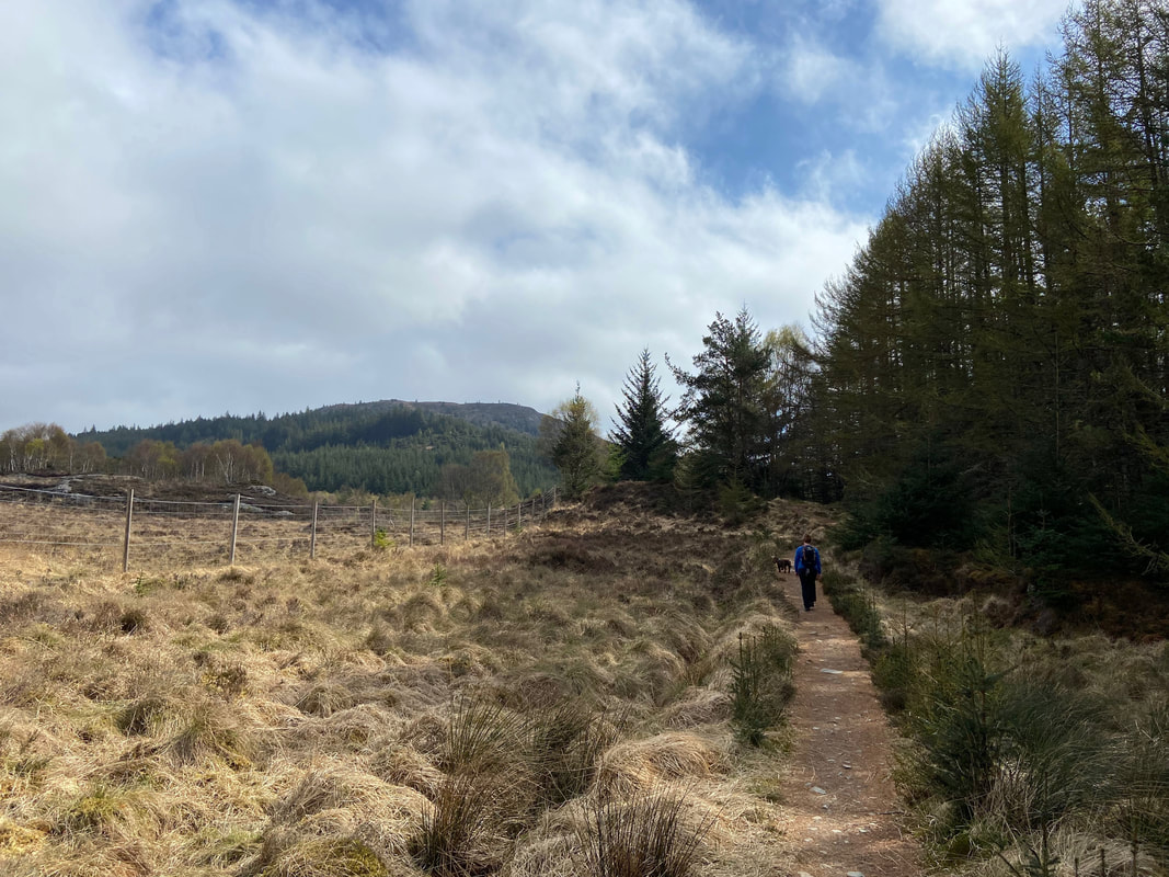
Meall Doire Bhrath now in view as we handrail the deer fence on the edge of the forest
Fudge listens intently as someone opens a packet of Crisps in Glasgow
Fudge looks back at me as if to query whether his Mum is going the right way or not. The way marker is behind you soft lad.
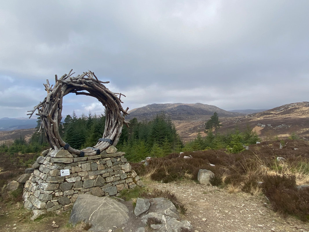
The Caledonian Pine Sculpture known as "The Viewcatcher" - designed to highlight the stunning view from here
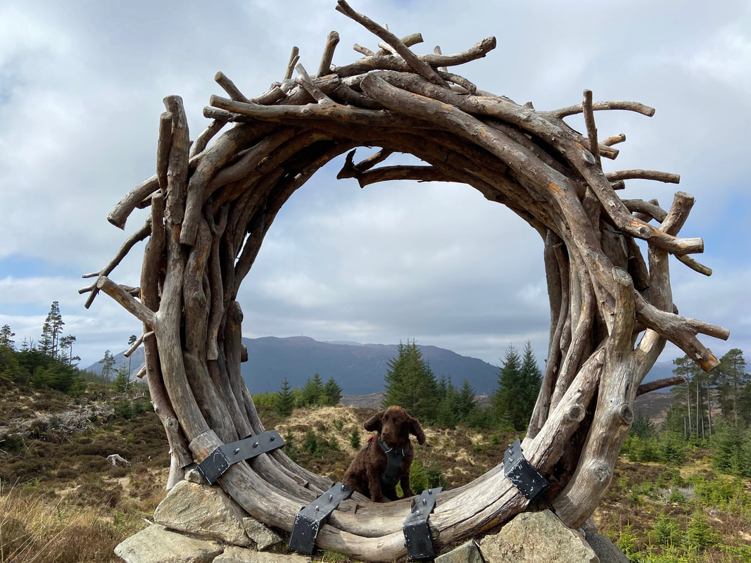
As if to make a point of highlighting the fantastic view, Fudge steps into shot
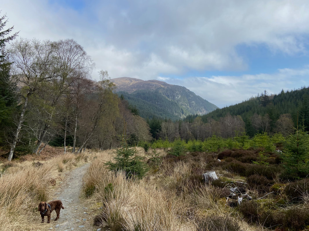
Meall Fuar-mhonaidh & Creag Dhearg ahead as we continue along the path
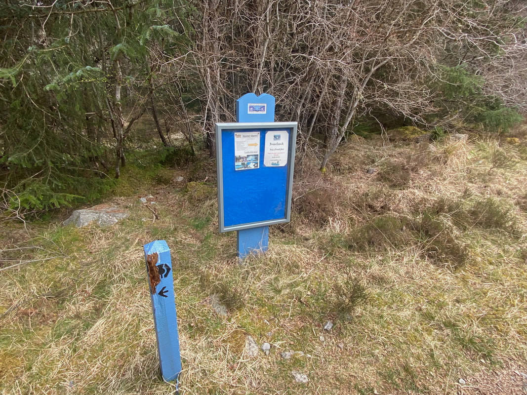
A noticeboard with a sign on it points the way towards Alltsigh and the Lochside Hostel - we would be carrying on to the north east and would pass the hostel on our way back on the Low route.
Fudge takes the opportunity to practice his Dressage moves as we continue along the track
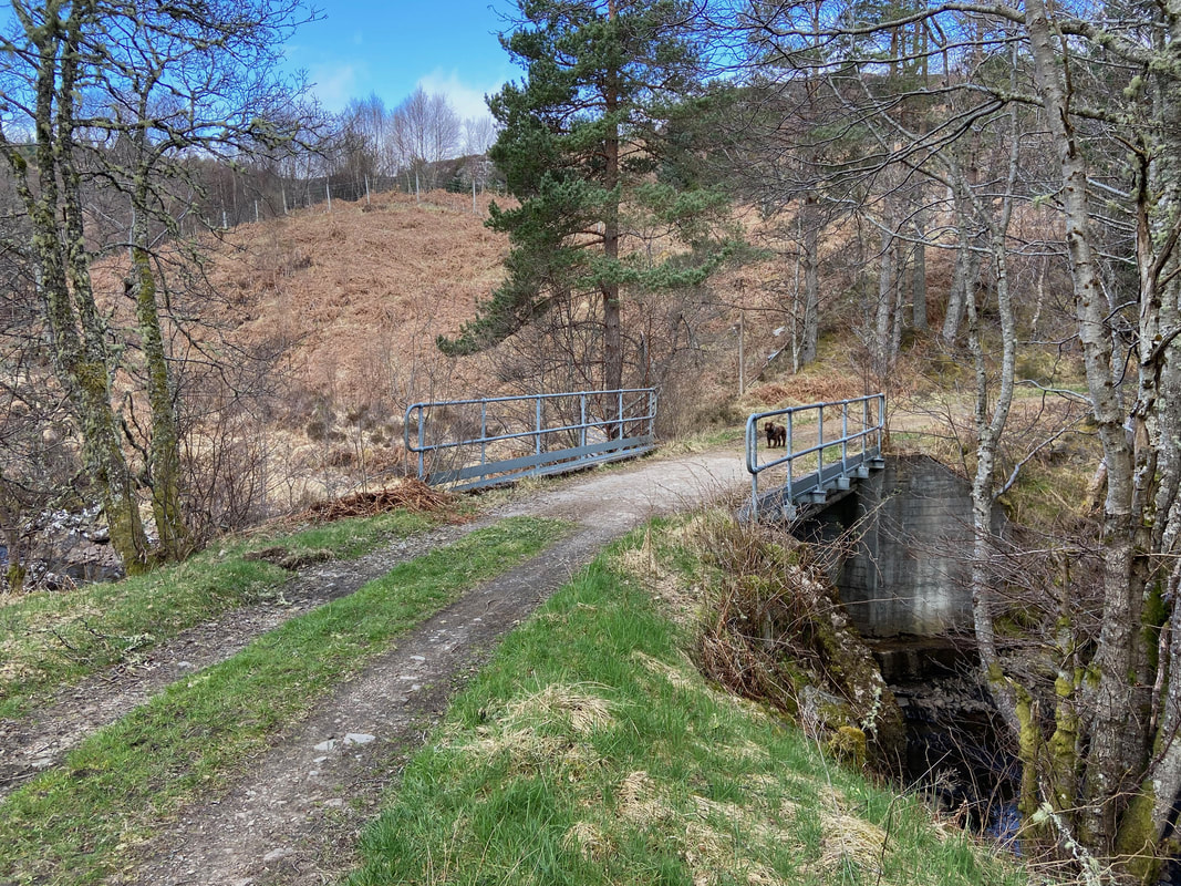
Crossing the footbridge over the Allt Saigh
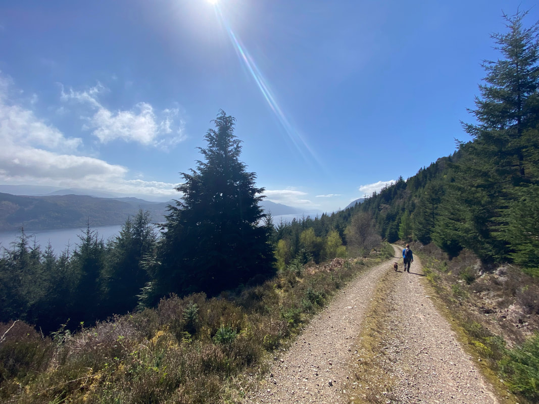
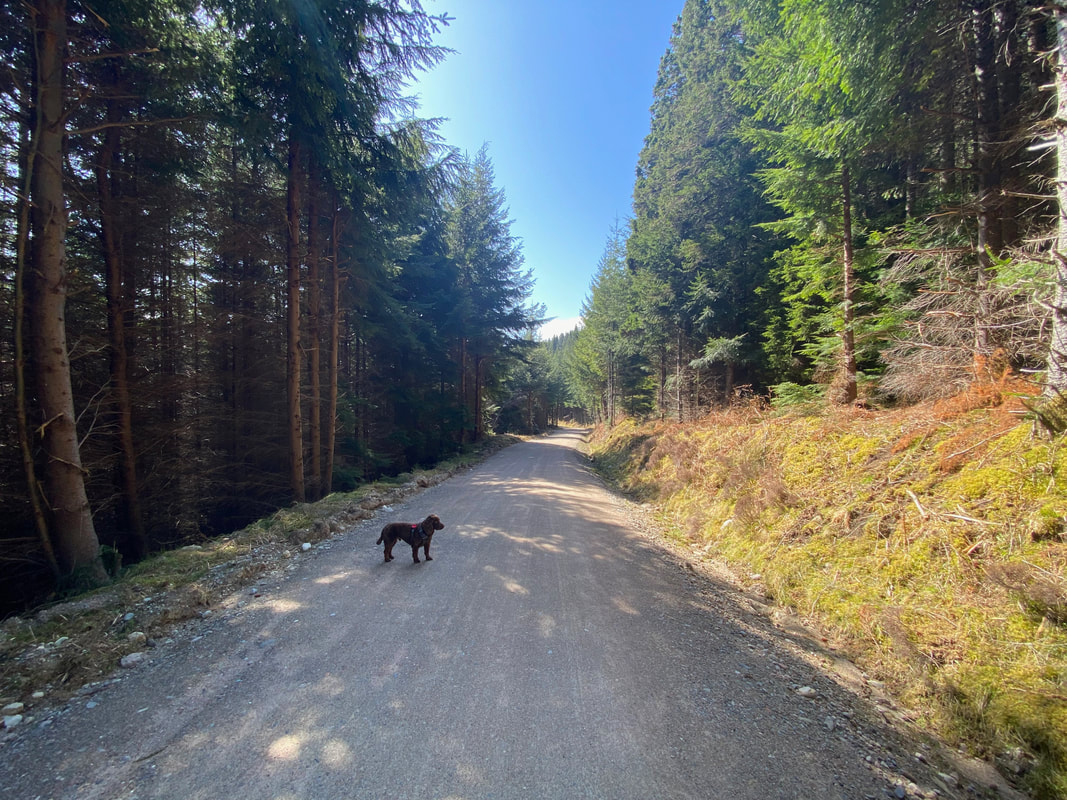
The forest path was an absolute delight especially on a day like today
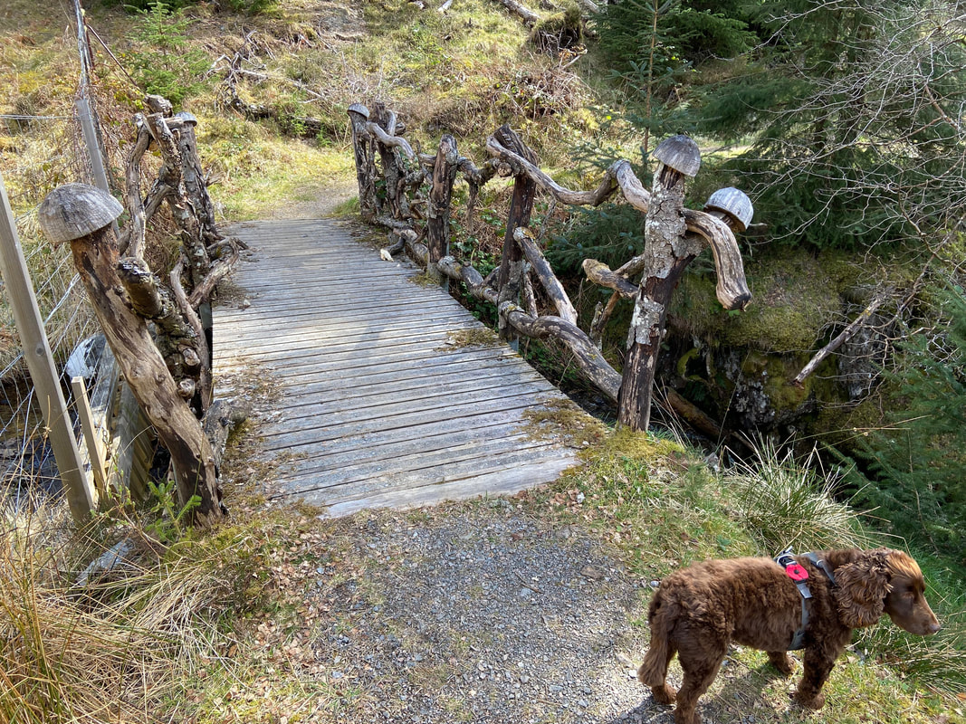
The Troll Bridge over the Allt Rhuighe Bhachain
A Troll Bridge in an enchanted forest - what could possibly go wrong? The bridge dates back to 2014 and the schoolchildren of Glenurquhart Primary School heap spells and curses on all who cross the bridge with their poetry and drawings (see below). As can be seen, Fudge didn't care too much for crossing the bridge and therefore incurring the wrath of the trolls.
A Troll Bridge in an enchanted forest - what could possibly go wrong? The bridge dates back to 2014 and the schoolchildren of Glenurquhart Primary School heap spells and curses on all who cross the bridge with their poetry and drawings (see below). As can be seen, Fudge didn't care too much for crossing the bridge and therefore incurring the wrath of the trolls.
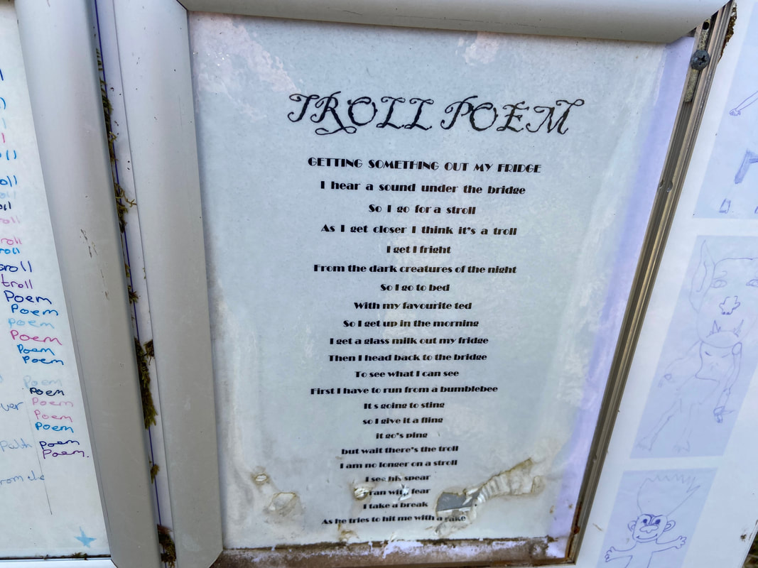
One of several poems on the notice board near the bridge
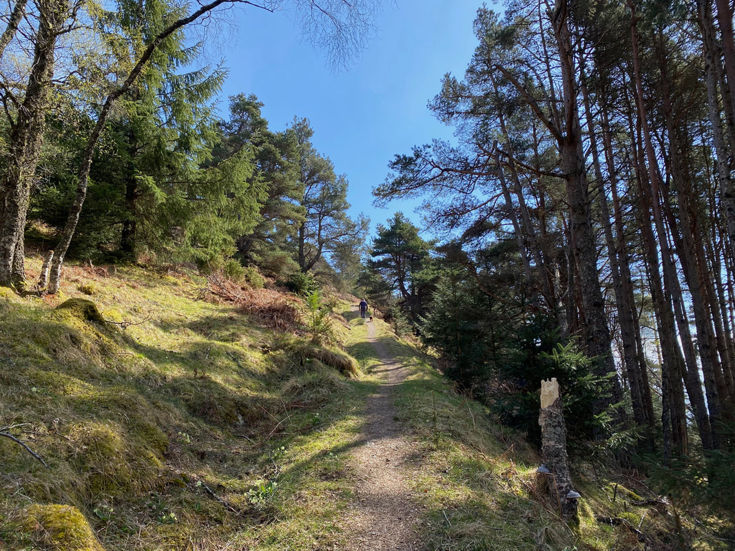
This really is a delightful transit and a fantastic alternative to the lower route
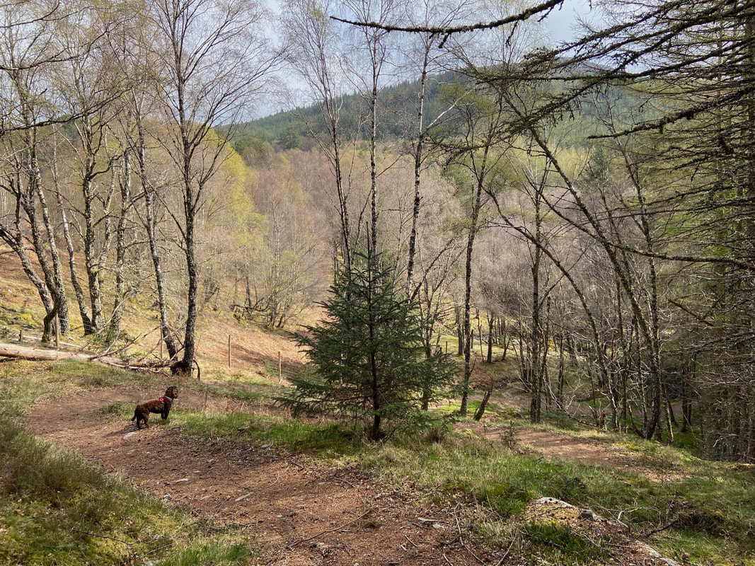
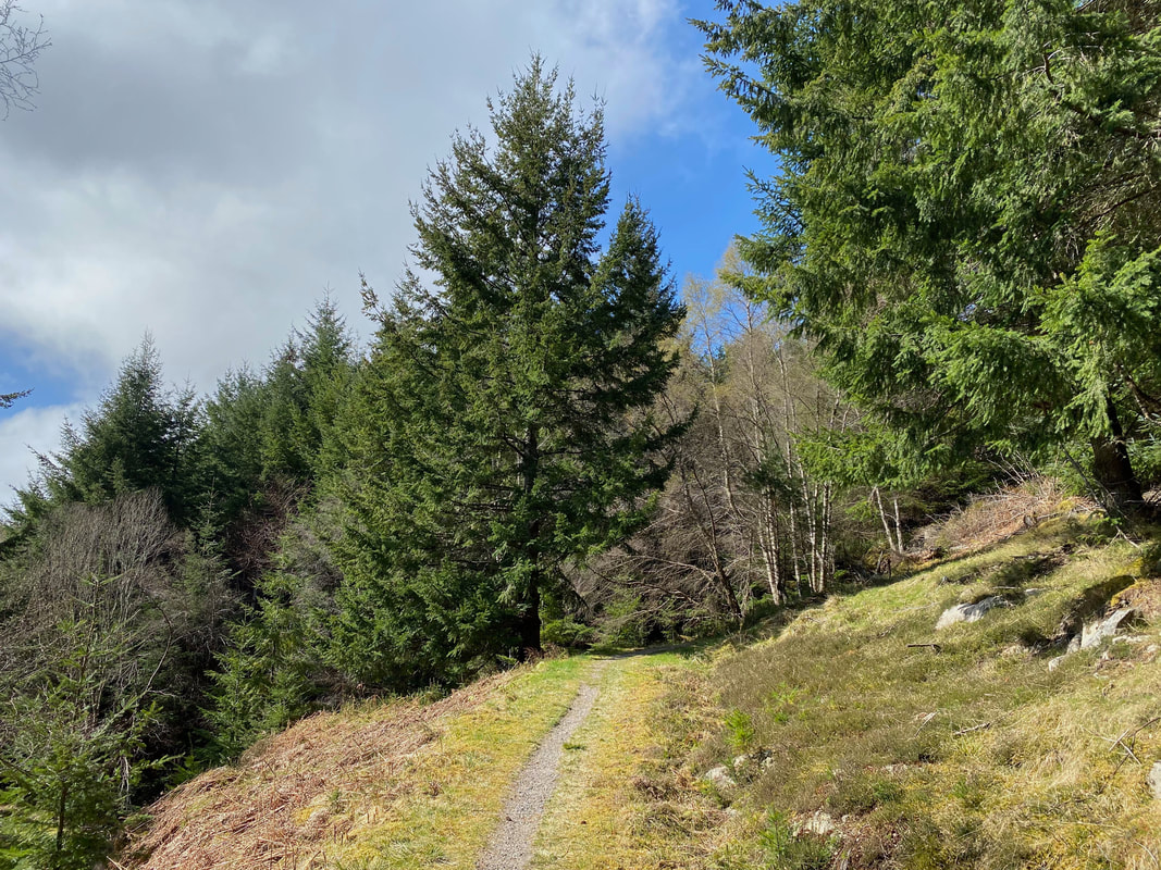
We continue to climb through Creag-nan-Eun Forest
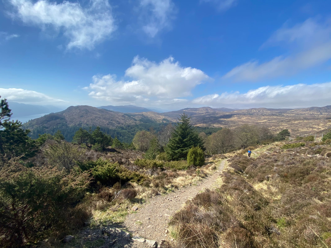
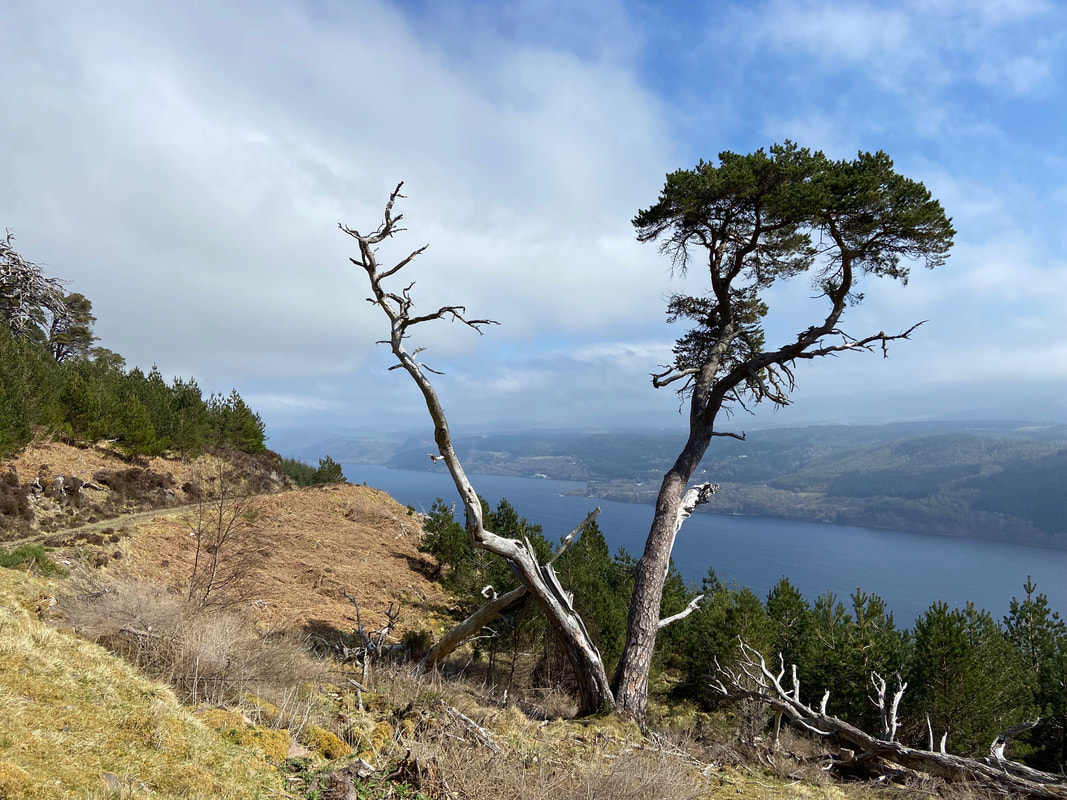
The glorious vista back towards Invermoriston
Loch Ness looking as flat as a millpond
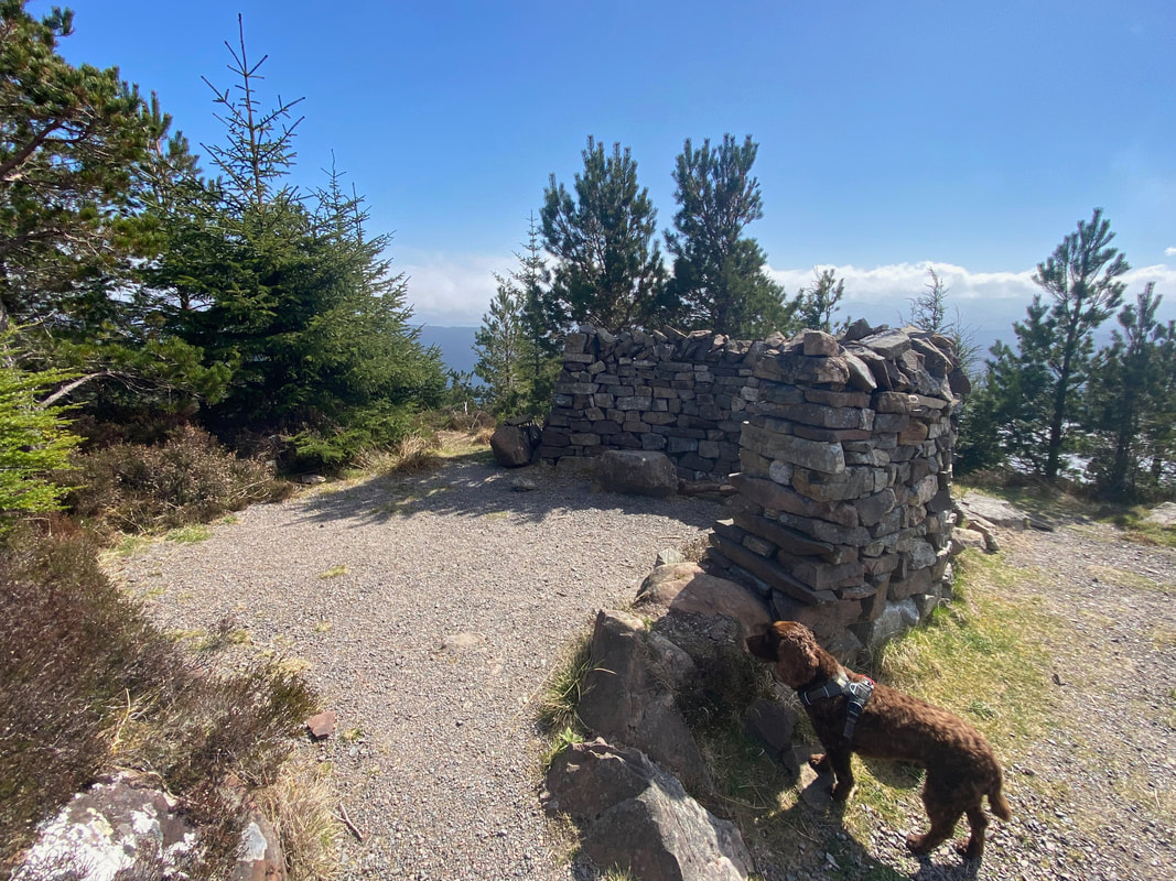
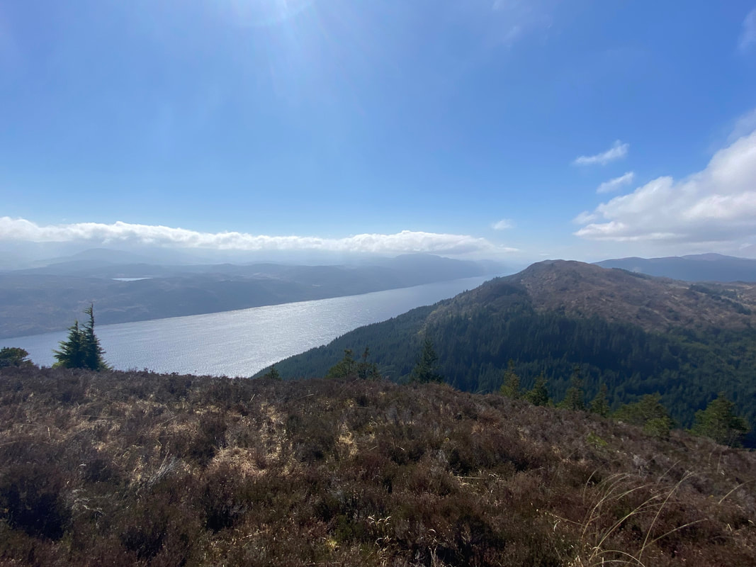
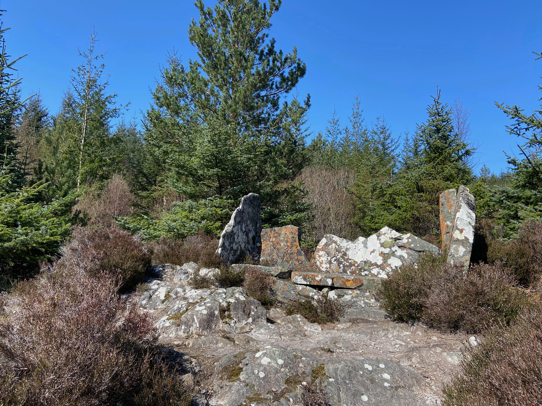
The highest point of today's route at 1385ft (422m) which is marked by a splendid horseshoe shaped stone shelter
Another glorious view across Loch Ness
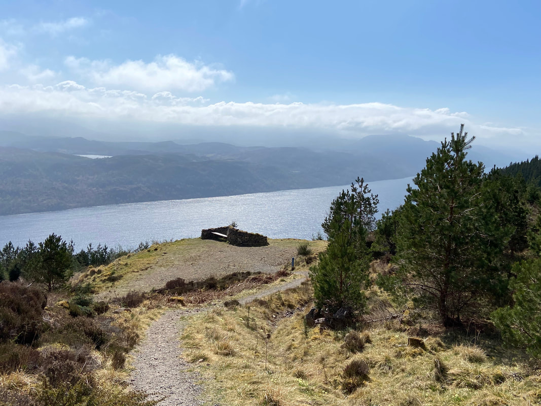
Beginning our descent to the valley floor we reach a splendid "S" shaped stone shelter with back to back benches
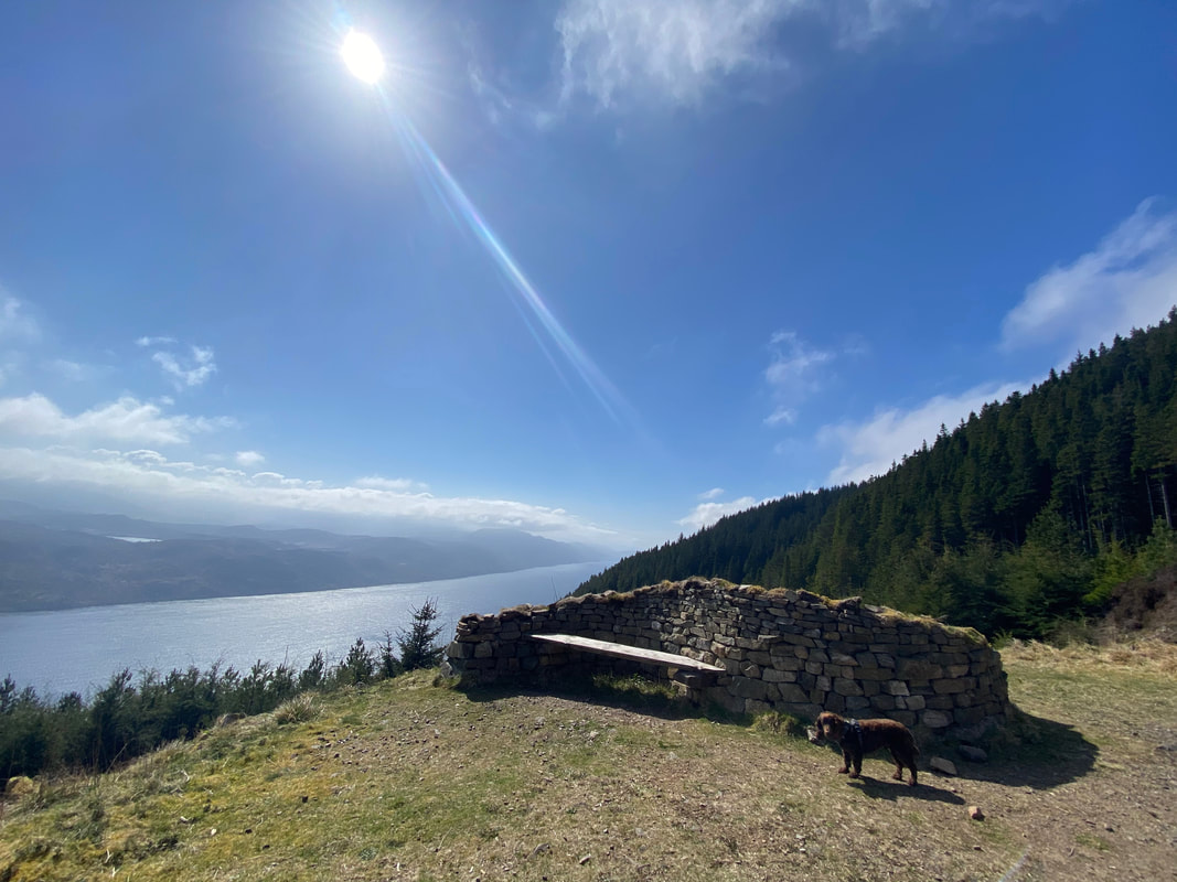
Fudge at the stone shelter and what a view
Looking across Loch Ness to Foyers
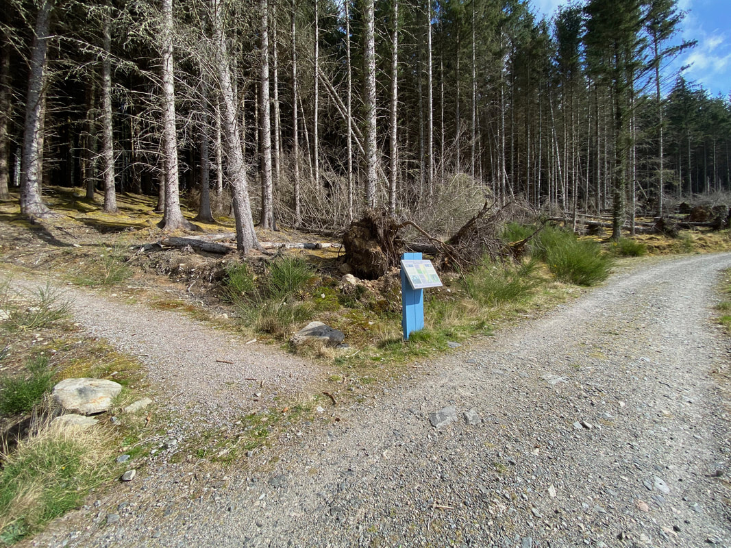
The junction of the Low & High Routes - it was now time to turn right and head back to Invermoriston
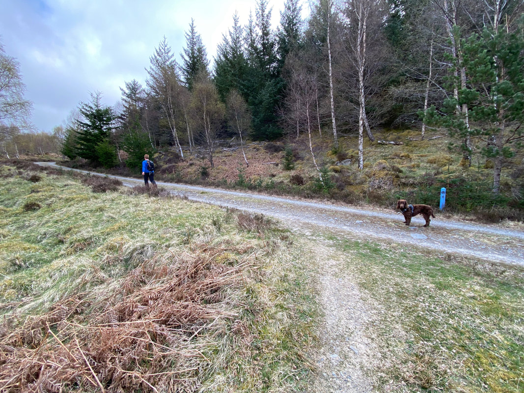
Heading along the Low Route with Loch Ness for company
The route turns from a rough track into a forest road as it approaches Alltsigh
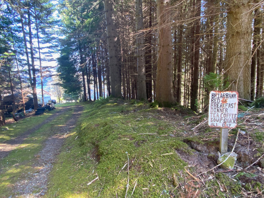
Above the hamlet of Alltsigh. Despite the sign, Briarbank closed for business in April 2022.
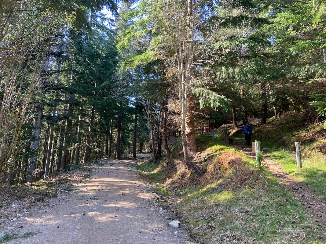
Not far now - the walking was really pleasant along this stretch
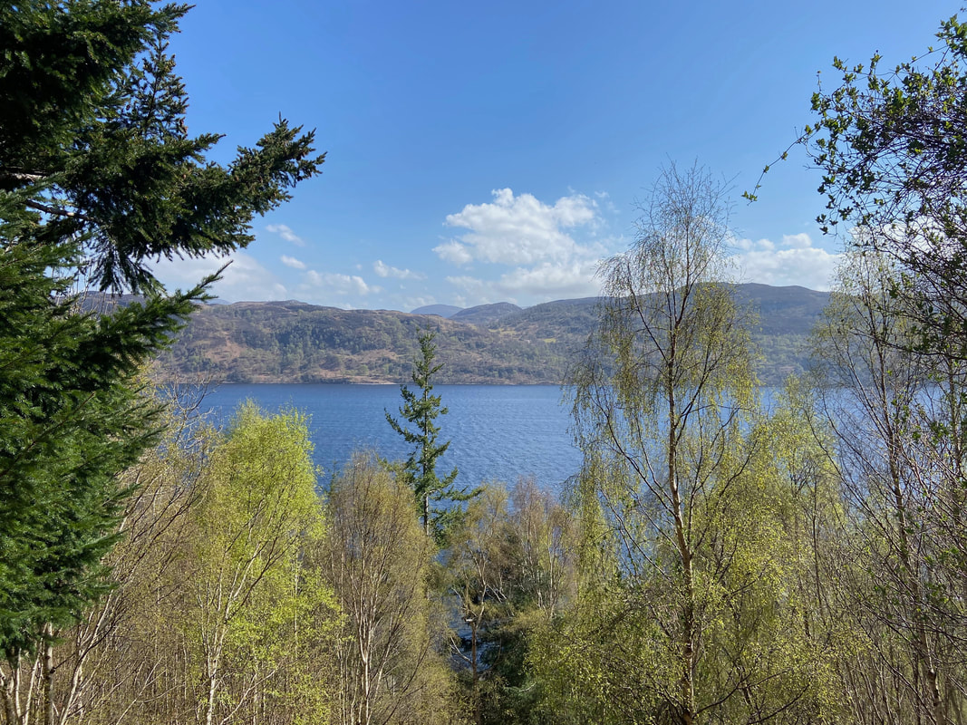
Another glorious view across Loch Ness
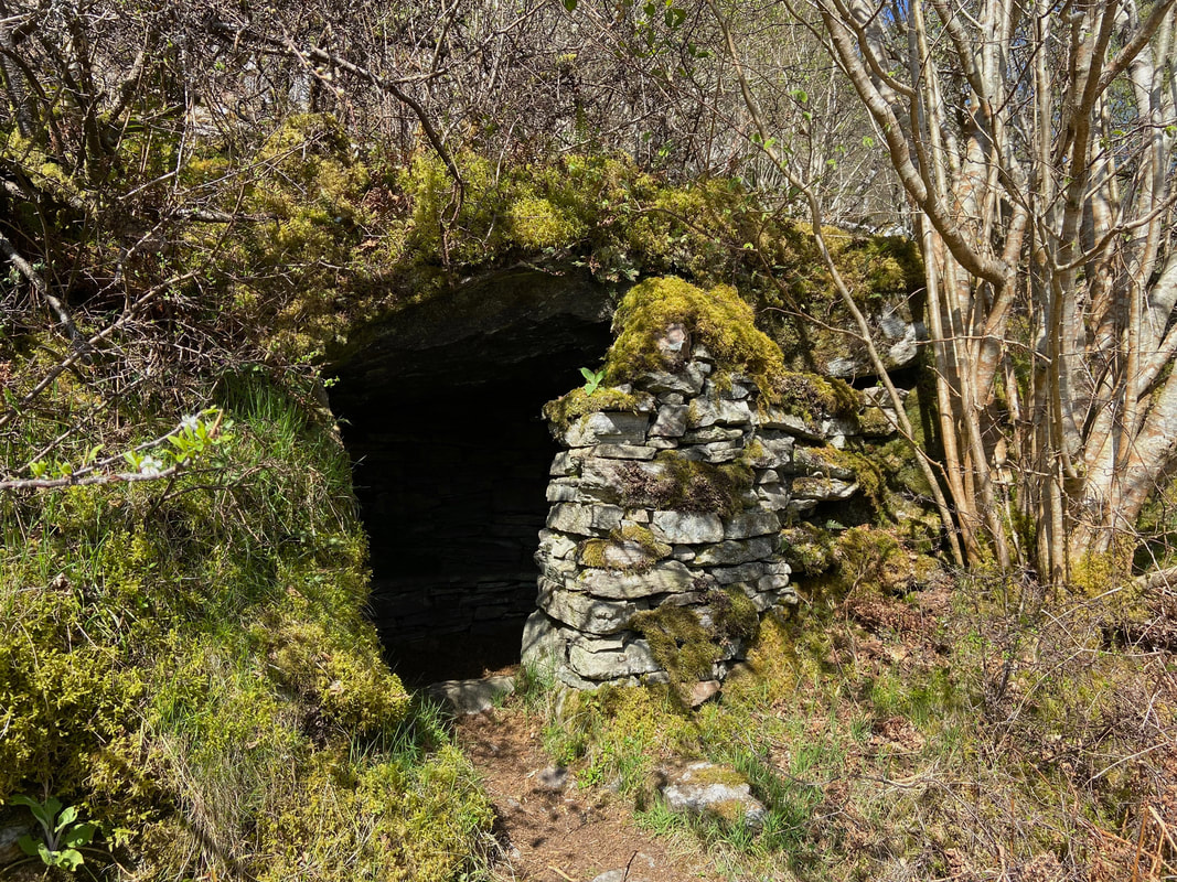
On the right hand side of the path we passed the Stone Cave. This was a small refuge built in the 19th Century as shelter for a local washerwoman who used to walk this route to her work in Invermoriston.
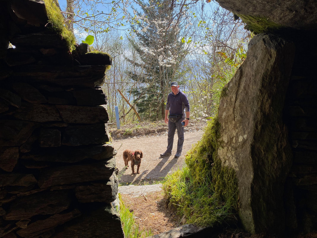
The view out from inside the Stone Cave
At Grid Reference NH 429 167 a path leads off to the right which zig zags uphill
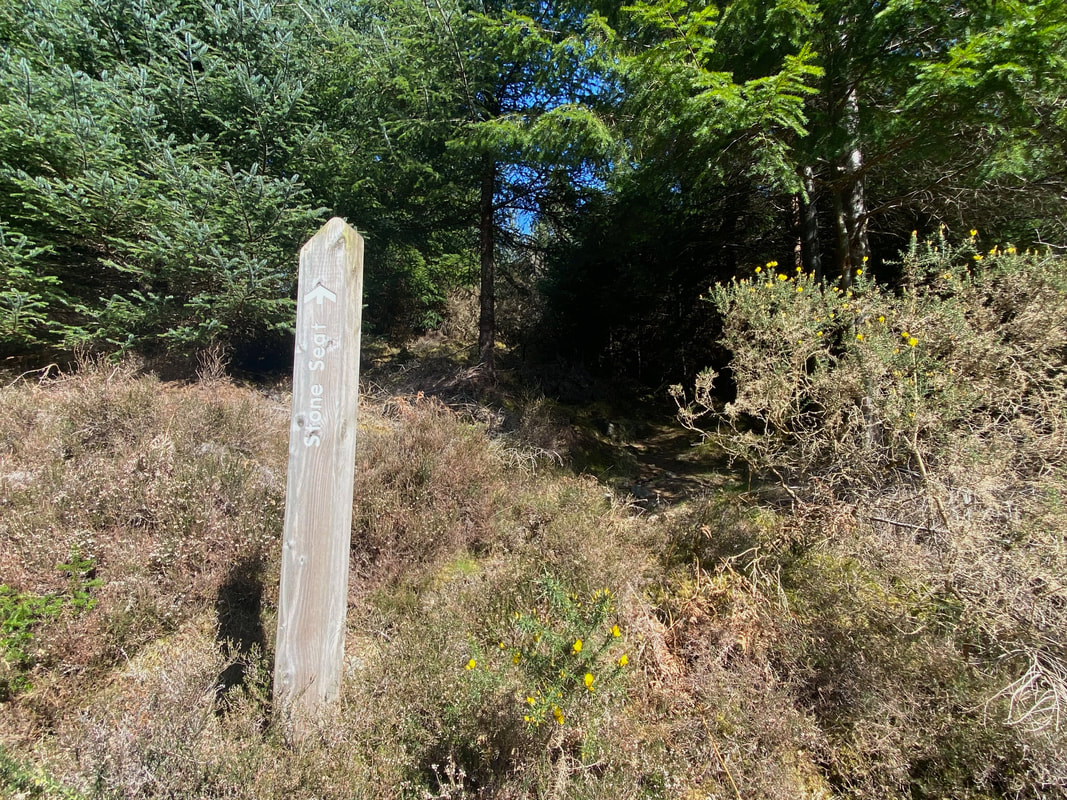
As we neared the junction with the High Route we spotted a sign on the right hand side indicating a "Stone Seat"
And here it is
Starting our descent back down to Invermoriston
Continuing our descent - hopefully the Cafe will still be open??

Of course it was!! Cake and a cool drink after a stunning walk.