Conistone & Kettlewell - Sunday 27 February 2022
Route
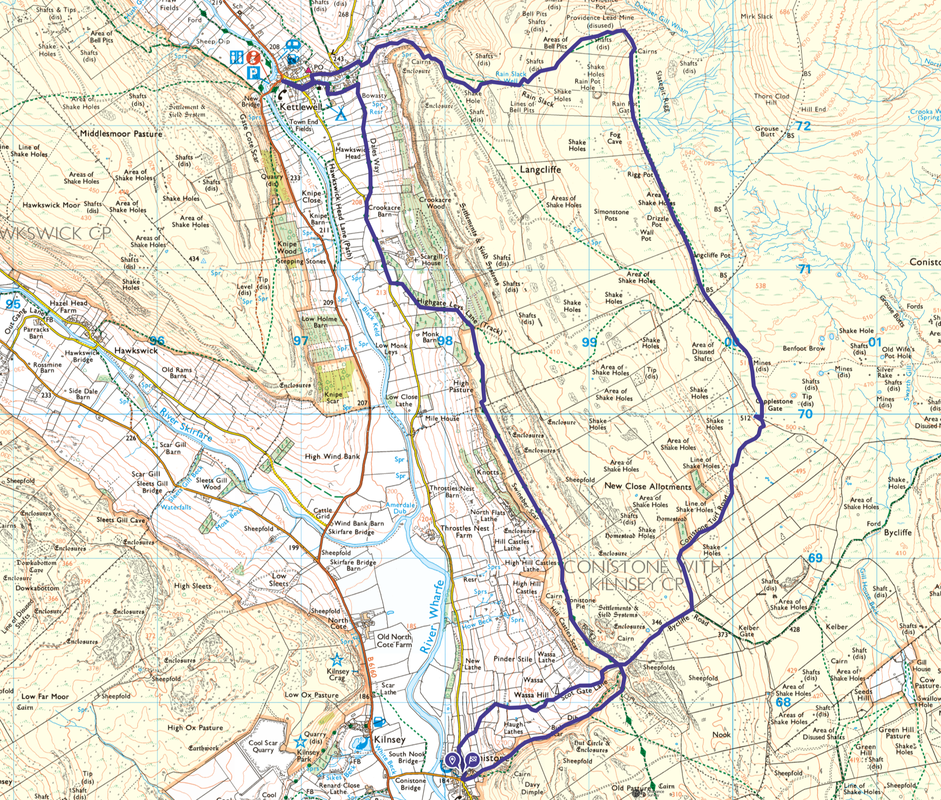
Conistone - Scot Gate Lane - Bycliffe Road - Conistone Turf Road - Capplestone Gate - Slatepit Rigg - Kettlewell - Dales Way - Highgate Leys Lane - Swineber Scar - Conistone Pie - Conistone Dib - Conistone
Parking
Verge parking at Conistone Bridge - please park sensibly. The Grid Reference is SD 97796 67508 and the nearest postcode is BD23 5HS.
Mileage
11.4 miles
Terrain
Good paths & tracks throughout
Weather
Sunshine with strong breezes along the ridges
Time Taken
5hrs 20mins
Total Ascent
1584ft (483m)
Map
OL2 - Yorkshire Dales (Southern & Western Areas)
Walkers
Dave, Angie & Fudge
|
GPX File
|
| ||
If the above GPX file fails to download or presents itself as an XML file once downloaded then please feel free to contact me and I will send you the GPX file via e-mail.
Route Map
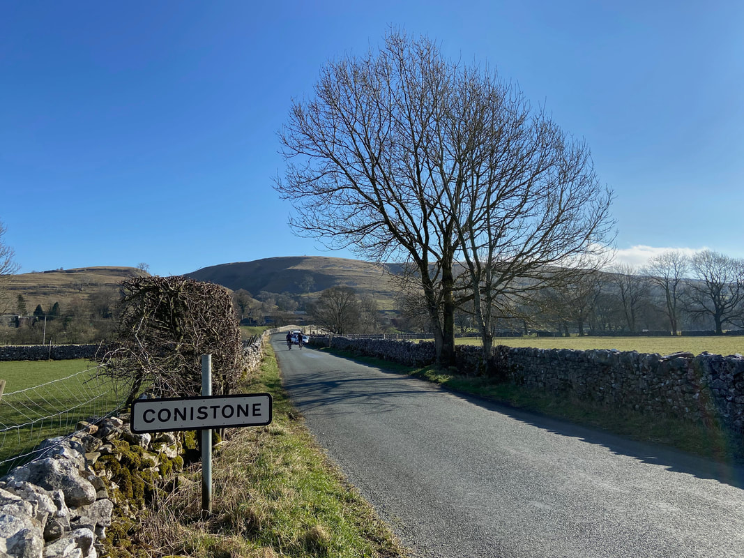
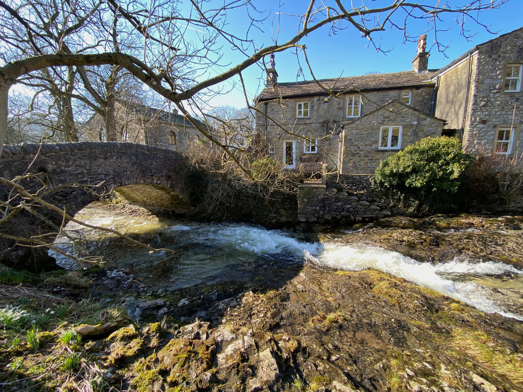
Today's walk started from the village of Conistone, Wharfedale in the Yorkshire Dales. The village sits alongside the River Wharfe between Grassington to the south & Kettlewell to the north. Conistone Bridge is up ahead where there is verge parking to be had as long as people park sensibly and do so with due consideration for farm vehicles.
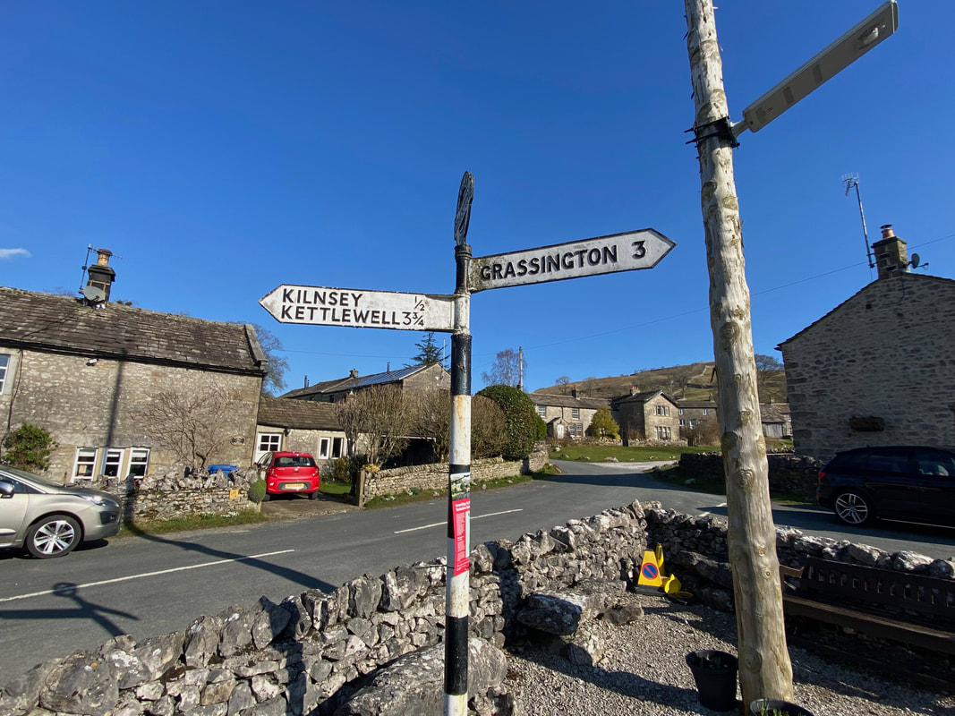
Conistone Village. The route passes this seating area and follows the Kettlewell road around to the left.
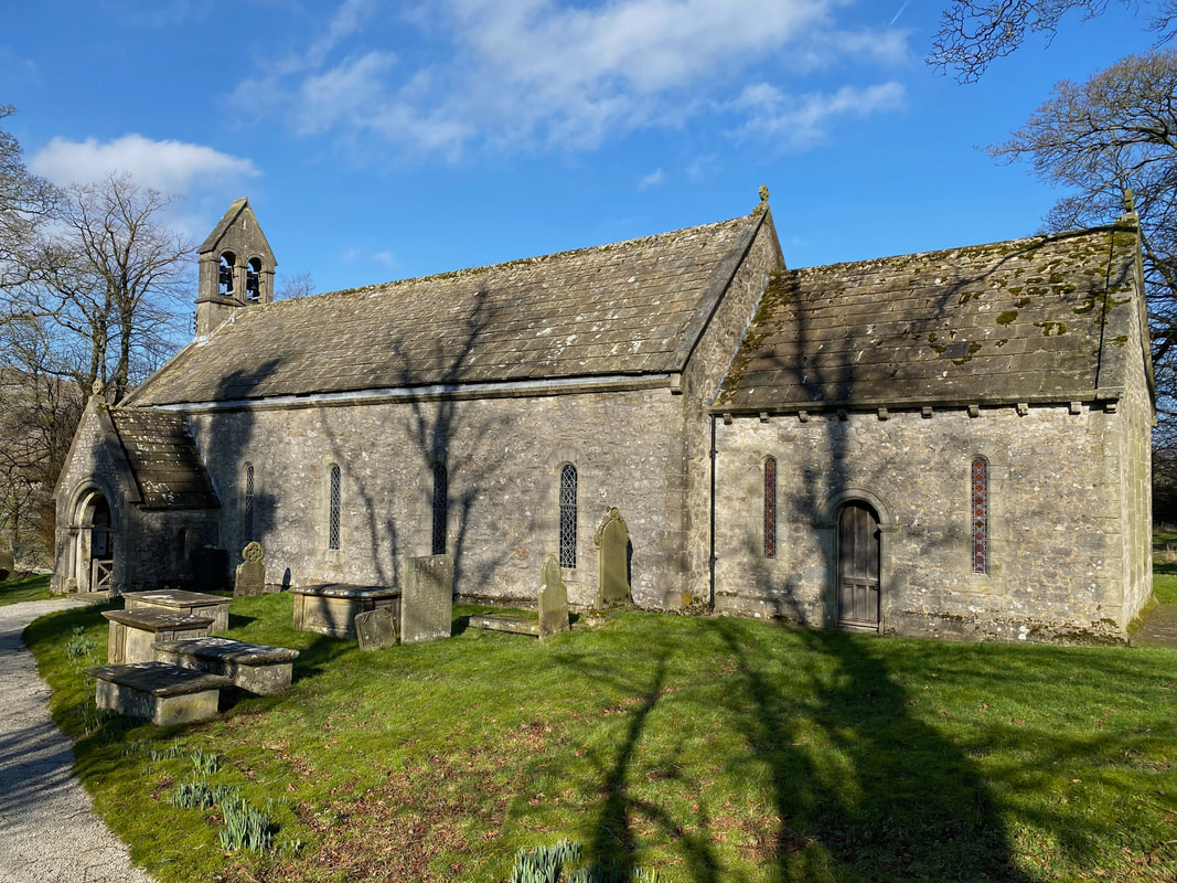
St Mary's Church in Conistone which was built in the 11th or 12th Century
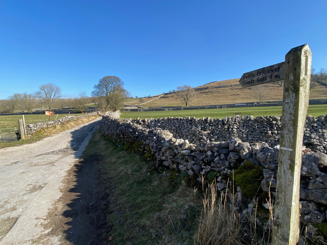
After 200 yards a rough track heads off to the right - this is Scot Gate Lane
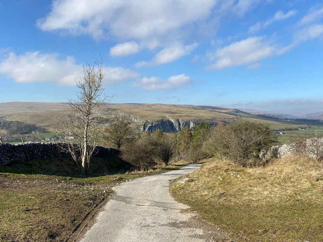
Looking back to Kilnsey Crag from Scot Gate Lane
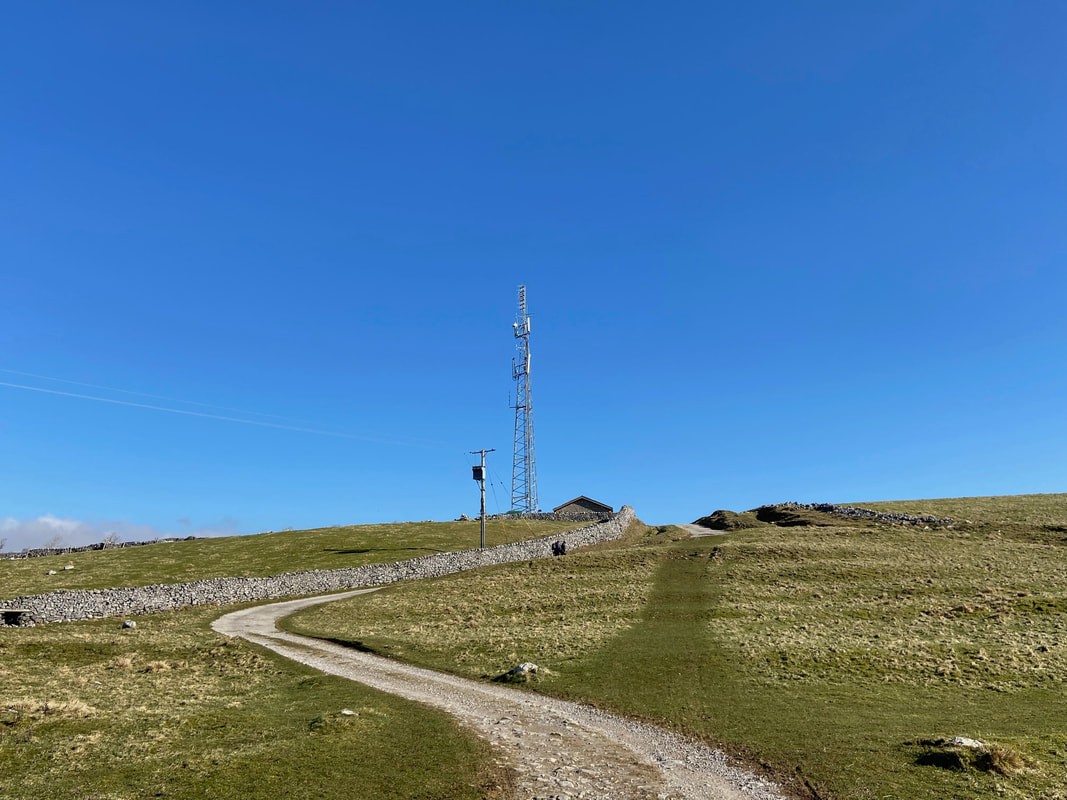
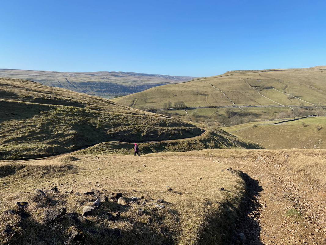
With Wassa Hill to the left, the track meanders up the hillside to pass a communications mast
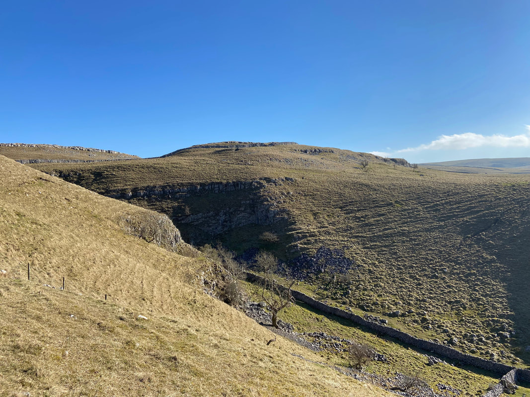
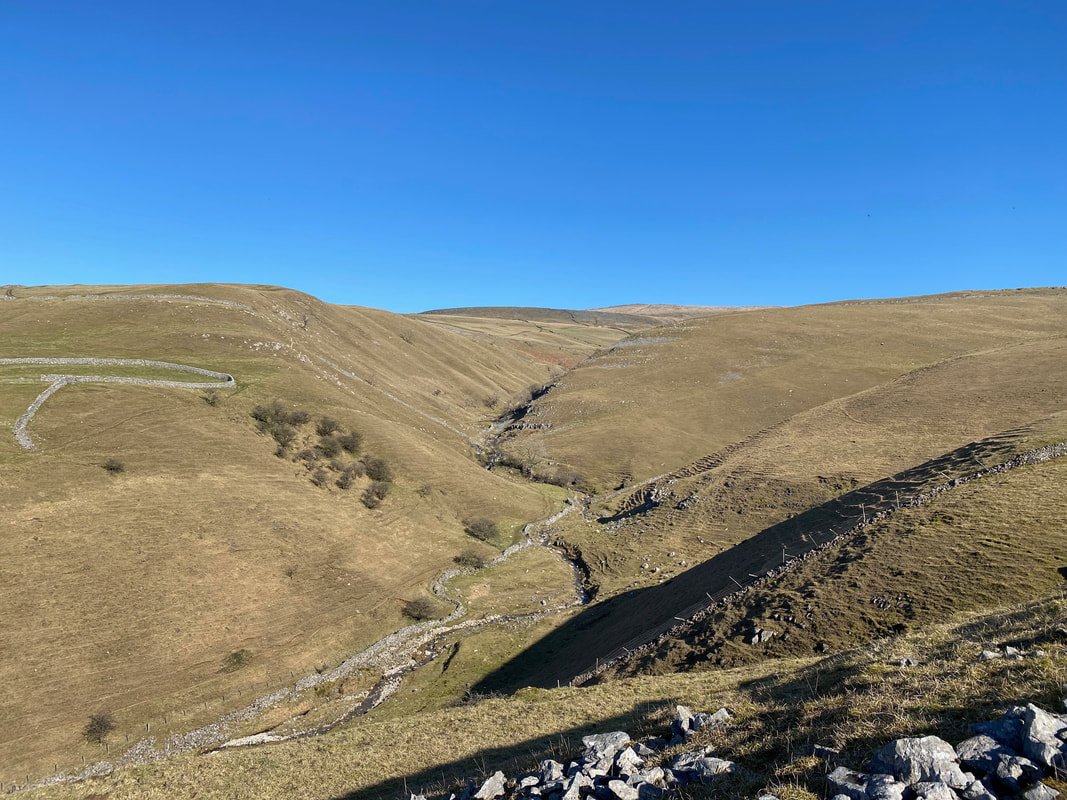
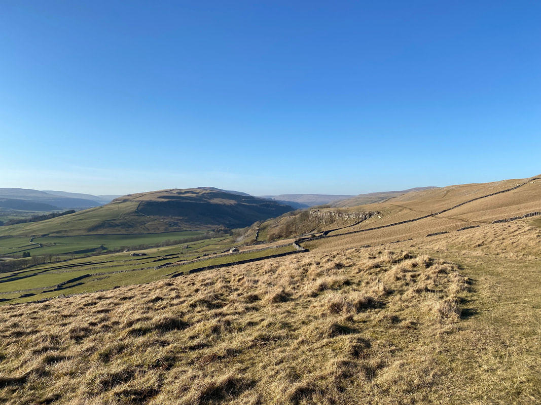
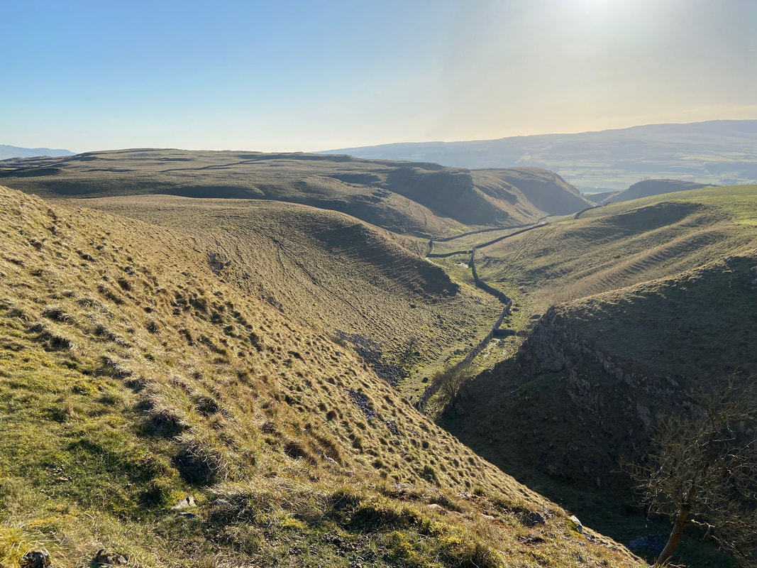
Looking down into Conistone Dib with Old Pasture beyond
Level walking now as we head along the Bycliffe Road - we would eventually pass to the right of the plantation over to the left
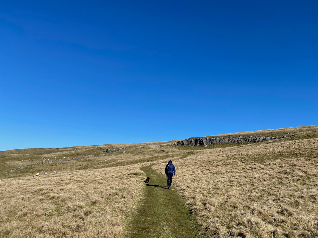
Leaving the Bycliffe Road on to the Conistone Turf Road towards Capplestone Gate. Peat was once cut and dried on the moorland and used as fuel in people’s homes and therefore transported back to Conistone via this "peat road".
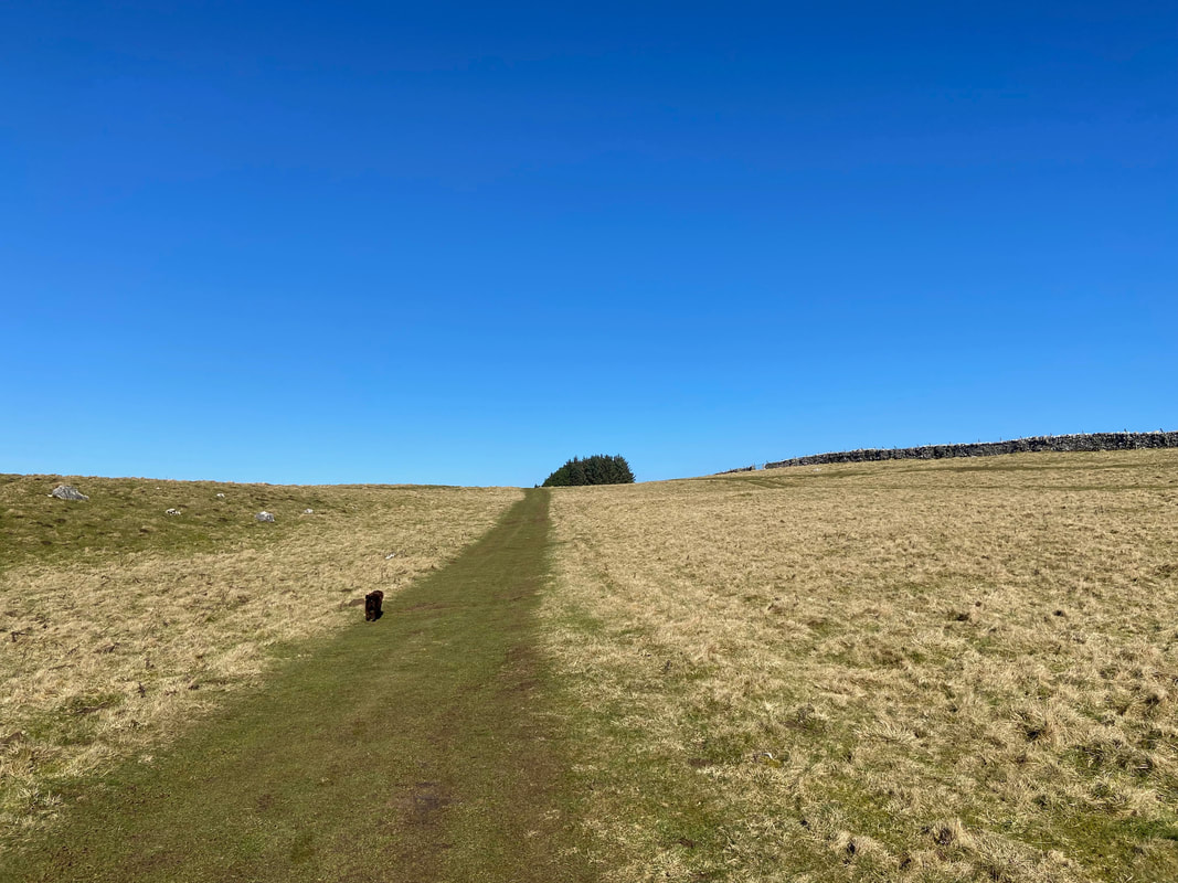
Continuing along the Conistone Turf Road towards the small plantation seen earlier
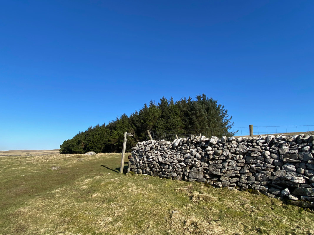
Reaching the first of two small plantations, a sign points the way to the right alongside a wall
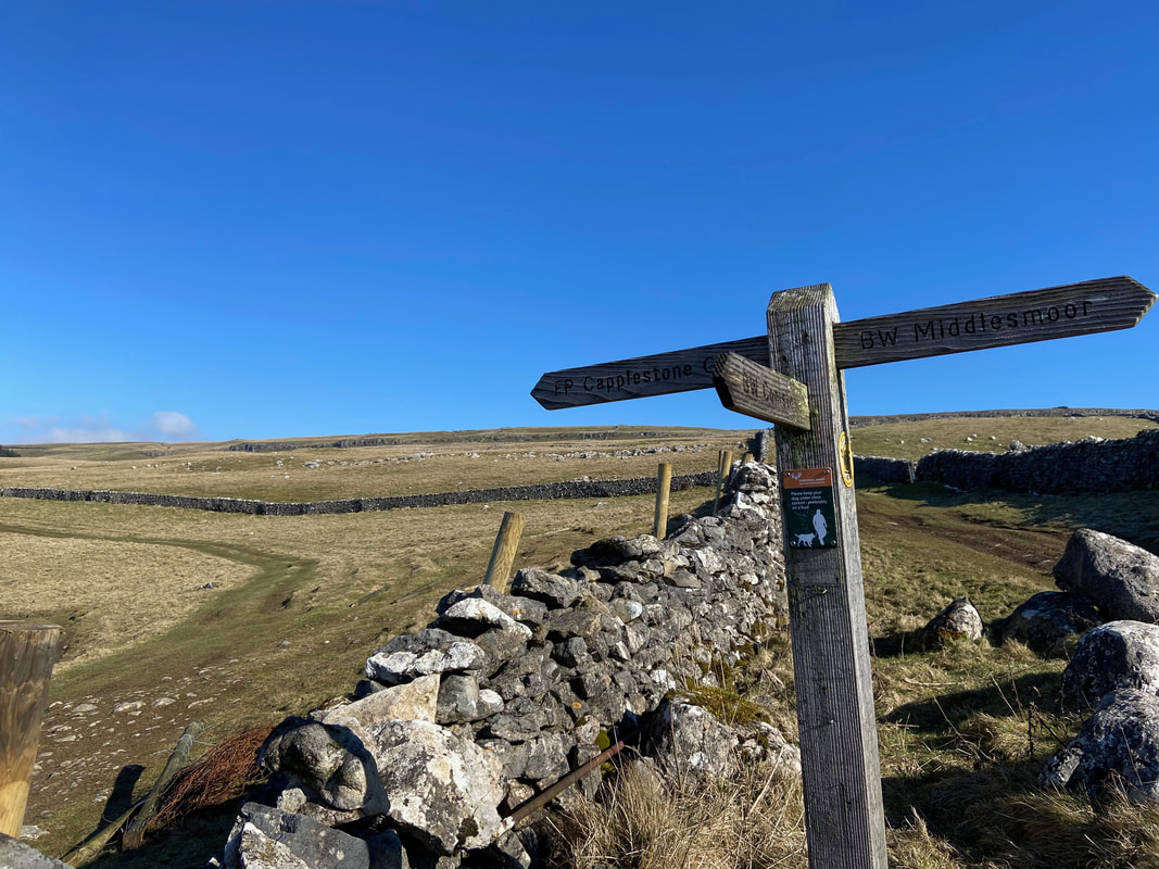
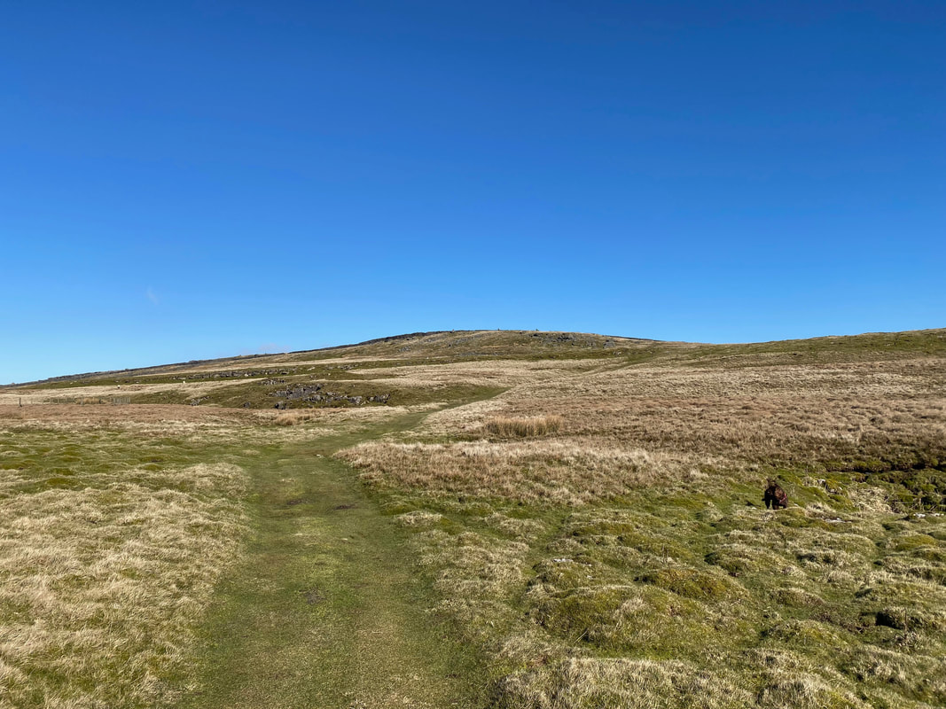
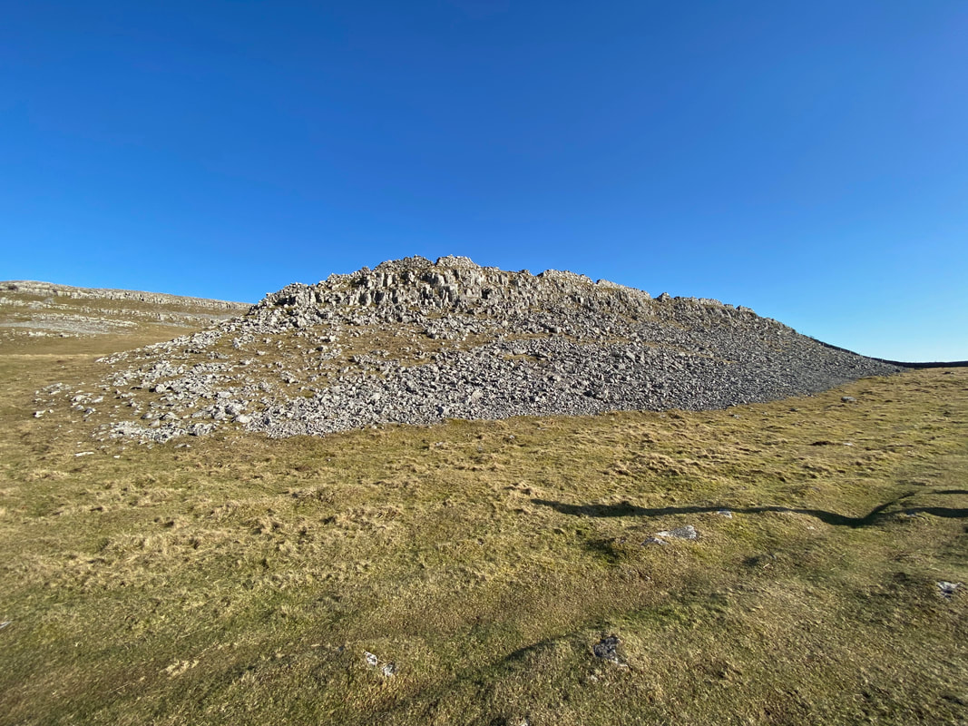
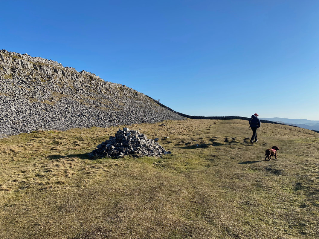
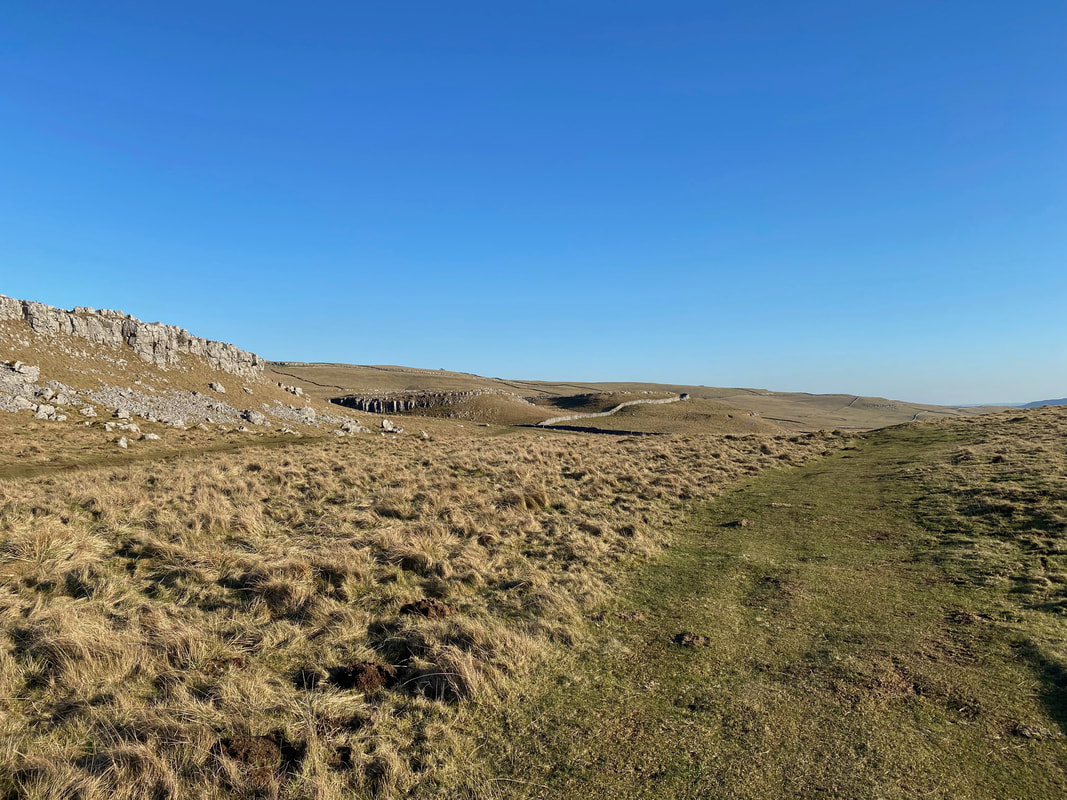
With Capplestone Gate up ahead the route passes below a small rock scar
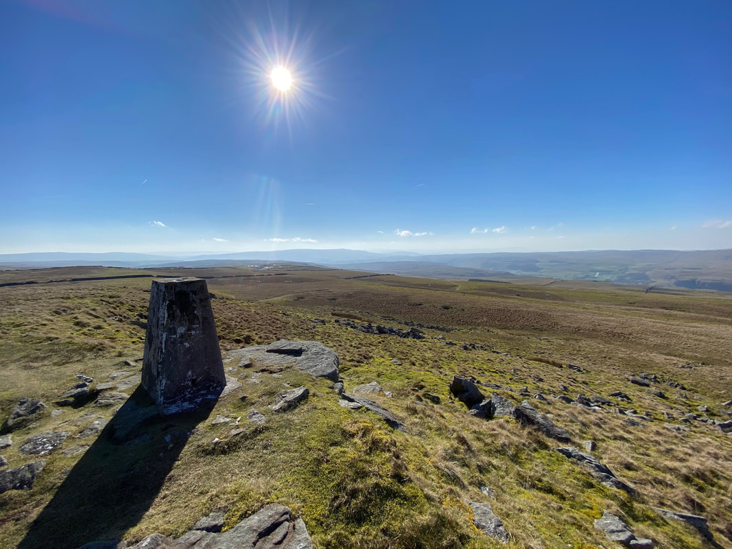
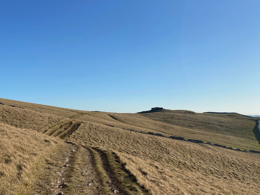
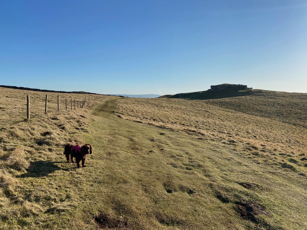
Approaching Capplestone Gate with the Trig Point just about in view
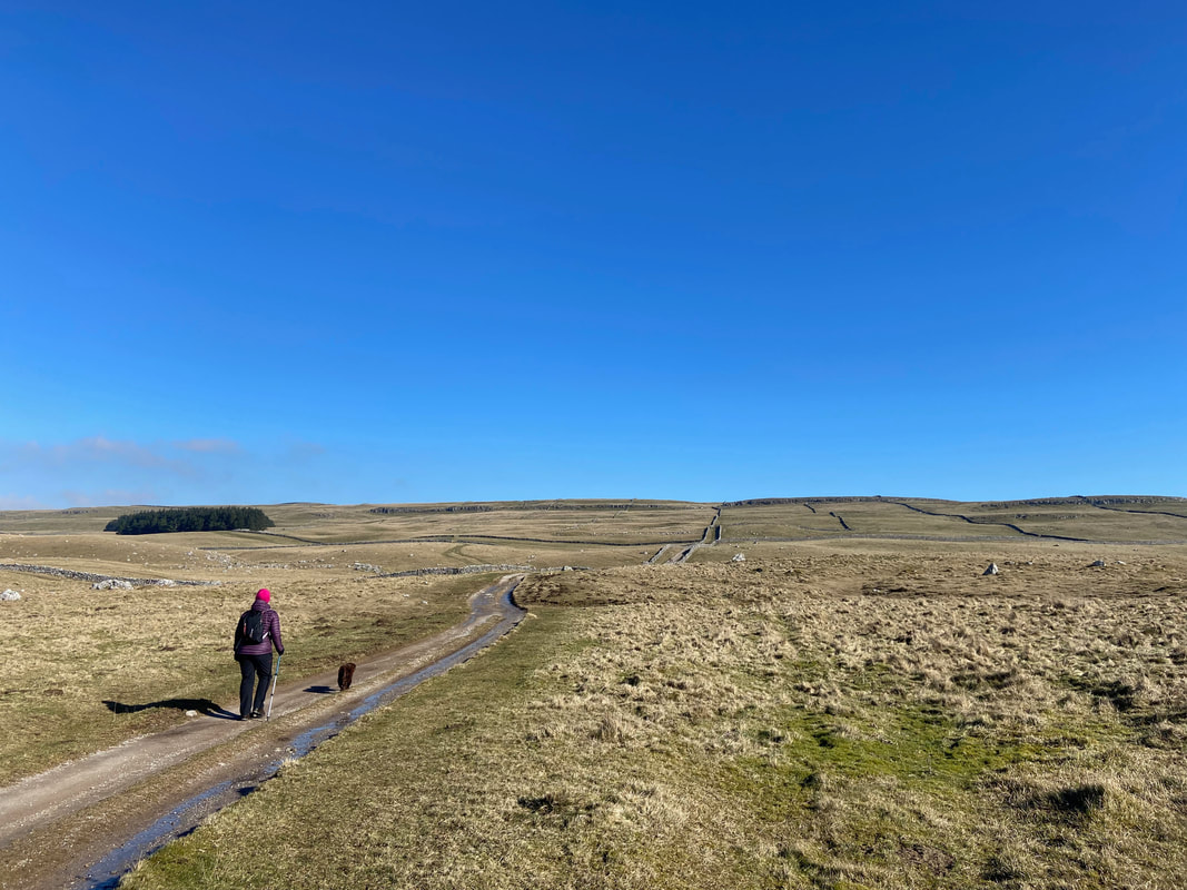
Looking back down the Turf Road - this was glorious walking
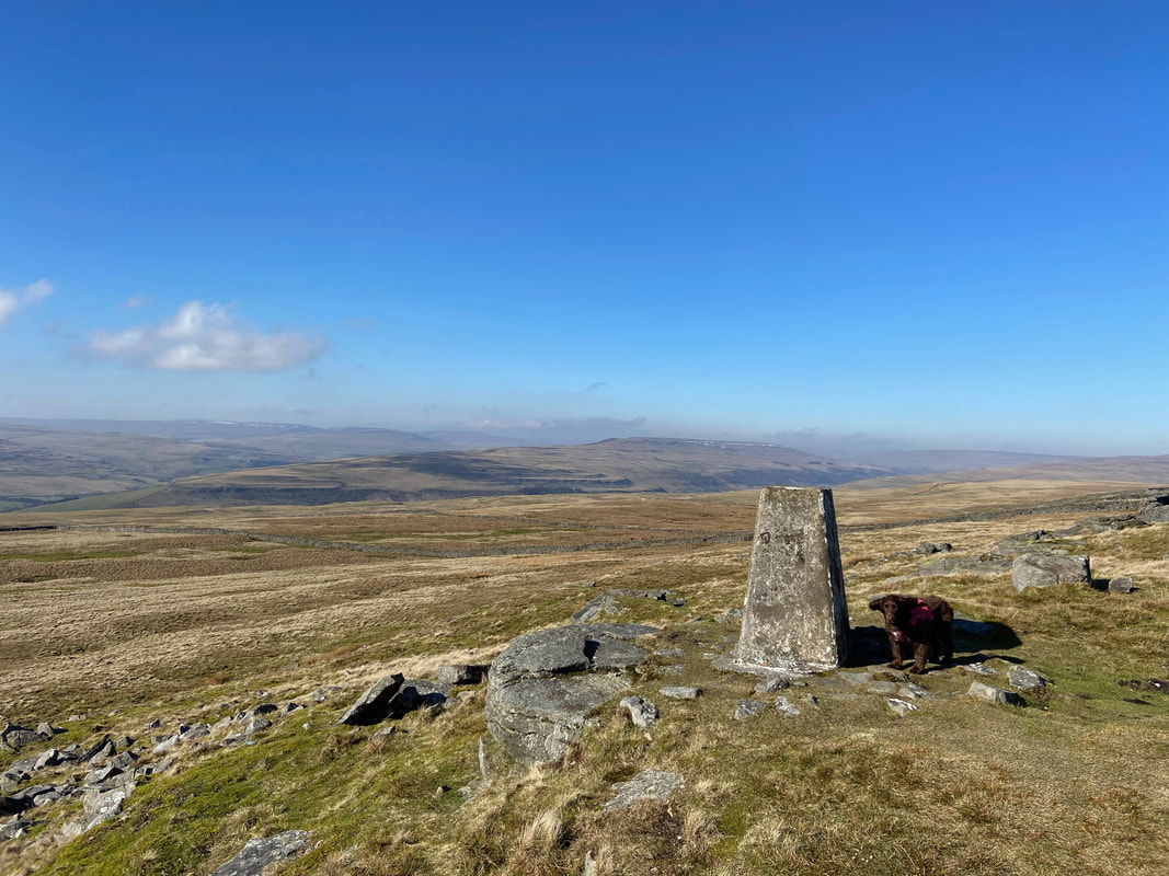
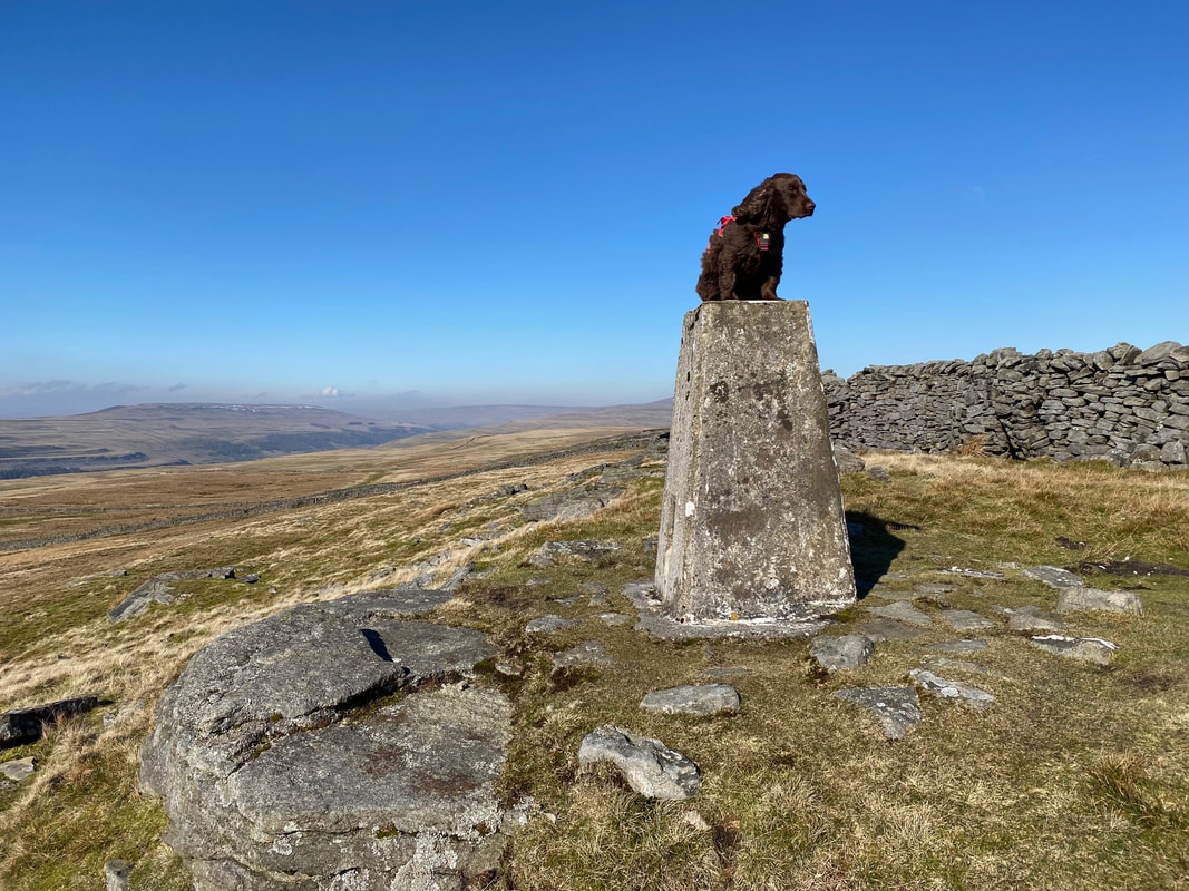
Fudge looks extremely proud of himself as we reach the Trig Point on Capplestone Gate
As is tradition
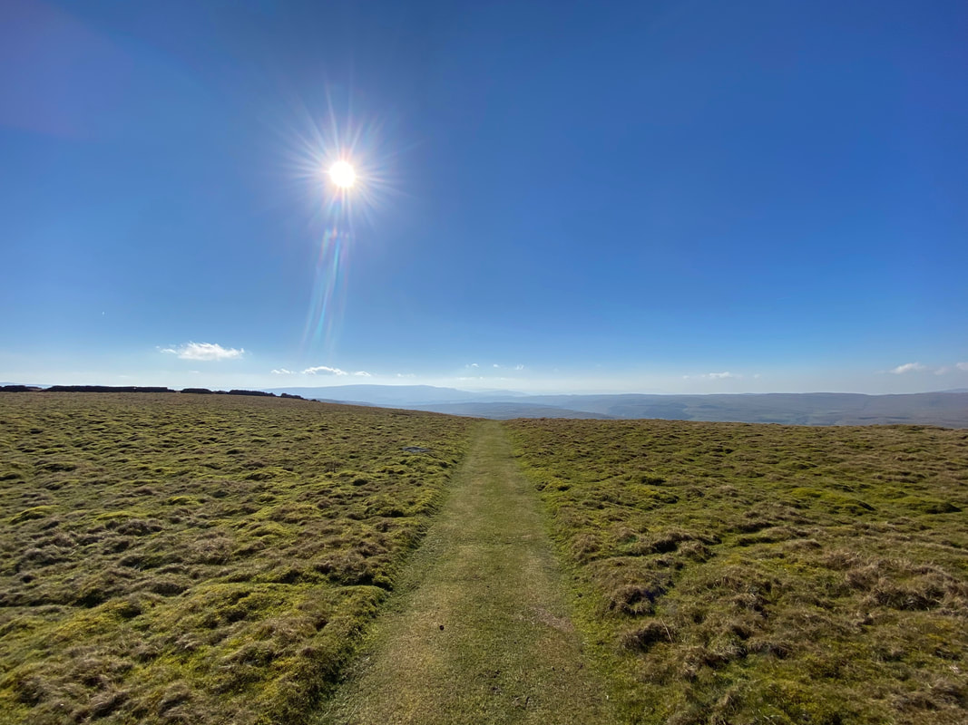
Looking back along our route of approach to Capplestone Gate
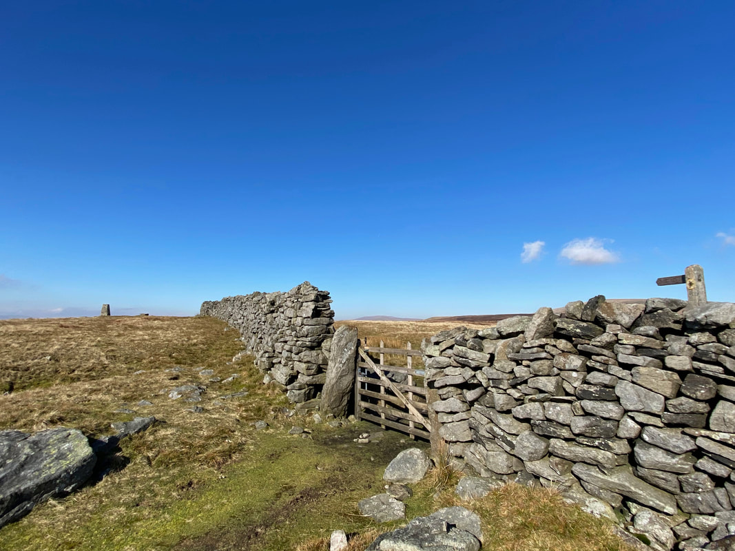
From the Trig Point it is necessary to back track slightly to cross over the wall via this gate
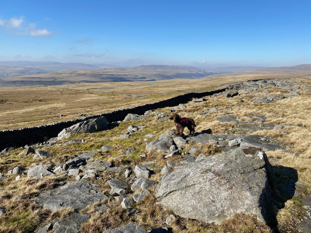
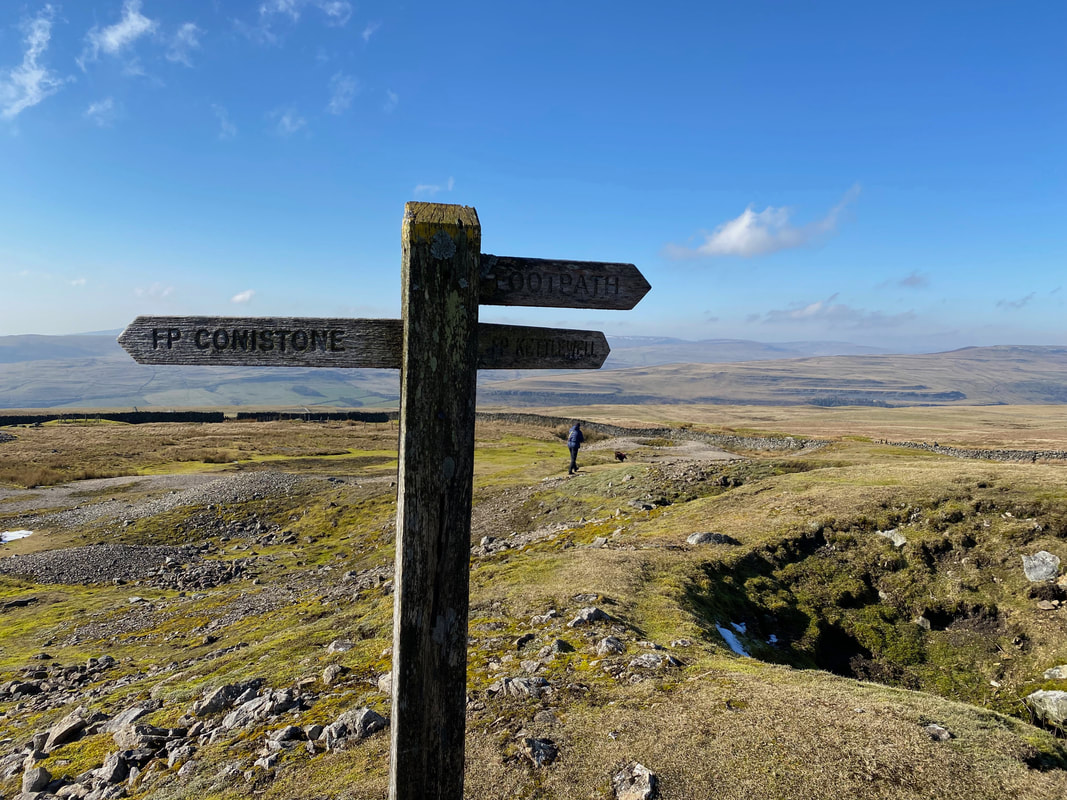
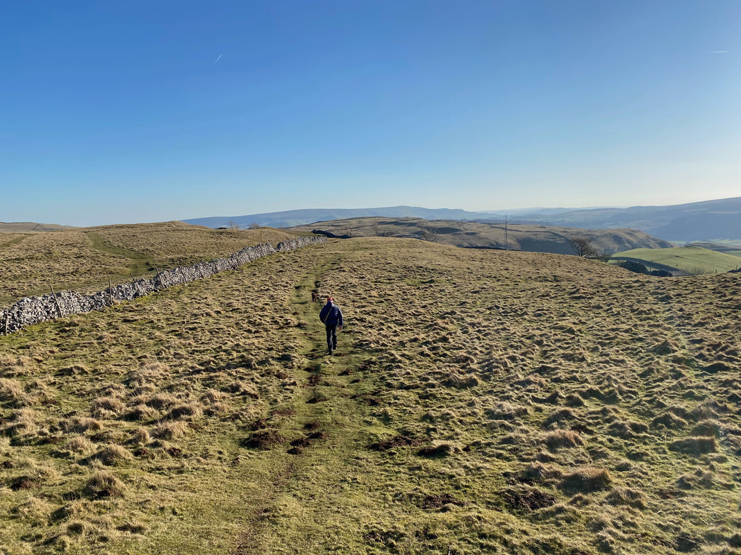
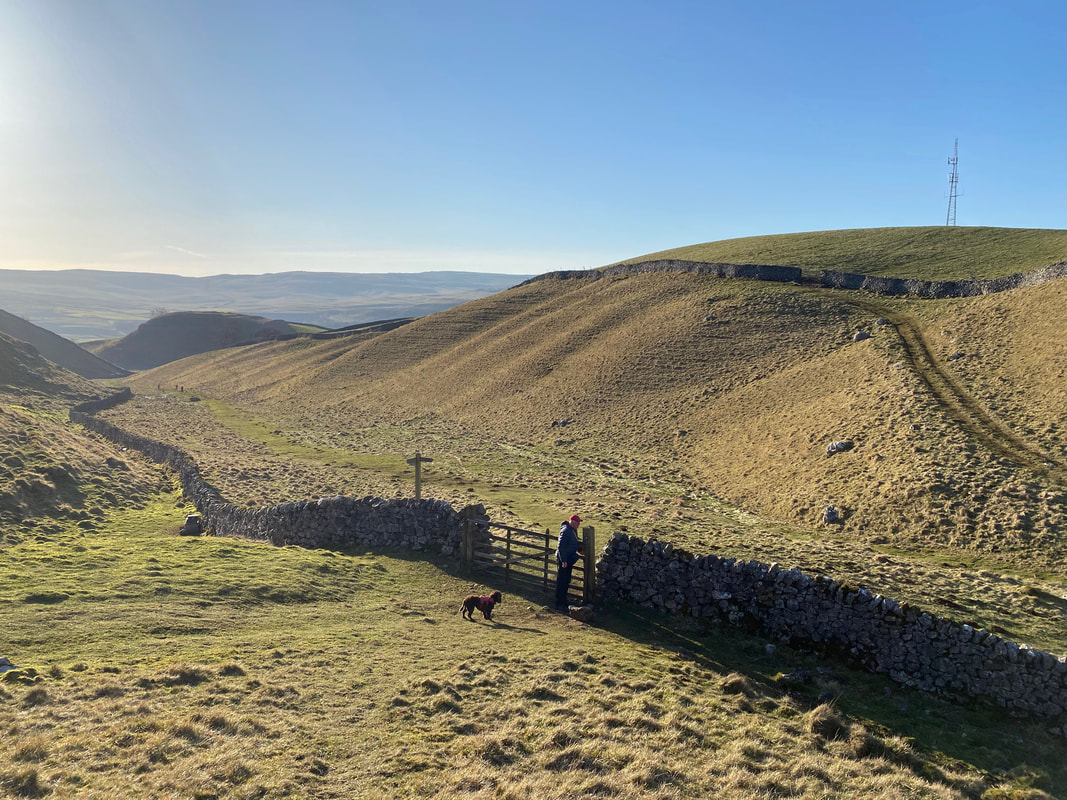
Fudge poses as we continue on towards Kettlewell with Old Cote Moor beyond. We would now be using the wall below as a handrail for the next 2 miles.
A little further on the path splits - we continued to handrail the wall in the direction of Kettlewell
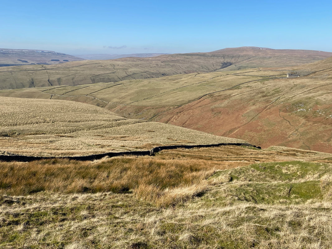
After 2 miles with the wall for company and just short of Providence Lead Mine, we dropped down to a gate and stile which can be seen below. The building to the right over Dowber Gill Wham is Hag Dyke with Great Whernside beyond. Originally a farmhouse, the building is now a Scout Hostel administered by the Ben Rhydding Scout and Guide Group in Ben Rhydding, Ilkley. The Hostel was bequeathed to the group in 1947 and has been run by a group of volunteer wardens for the benefit of Scouts and other Youth Groups ever since.
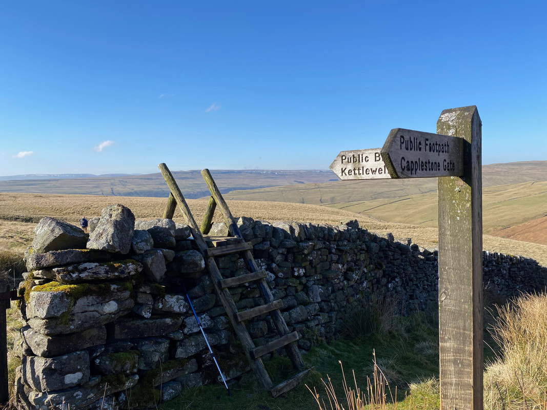
With the gate locked, the crossing point over the wall was via this ladder stile
Our route to Kettlewell descended via this old mine access track
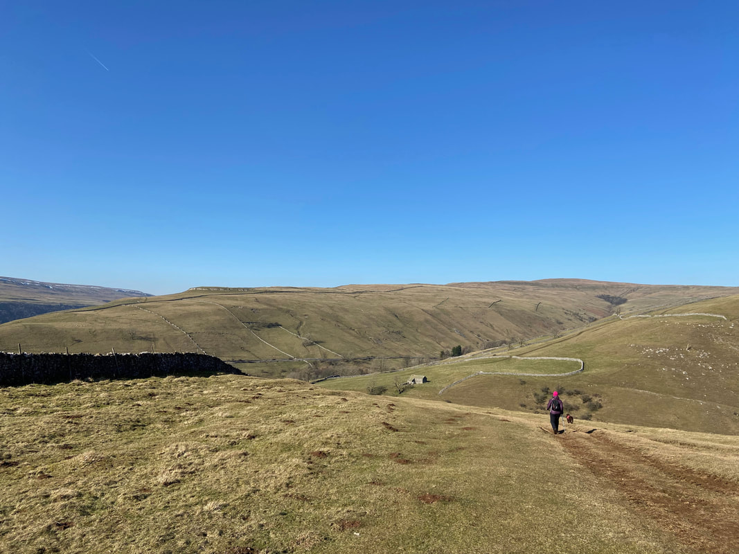
The access track continues down towards Kettlewell - we would be swinging around to the right
Dowber Gill Beck with Great Whernside beyond
Above Kettlewell
Set in the magnificent glaciated U-shaped valley of Upper Wharfedale and cradled by moorland heights and rolling fells, Kettlewell is regarded as one of the finest villages in the Yorkshire Dales. With its history stretching back to the Saxons (this was ‘Ketel’s spring’), Kettlewell prospered in the 18th & 19th Centuries with the development of lead mining on the surrounding hills as well as regular markets and fairs, not to mention the many traders and travellers who came this way on the numerous packhorse routes that still criss-cross the hills. Today the village is well known for its annual Scarecrow Festival and was used as the location for ‘Knapely’ in the 2003 film Calendar Girls.
Set in the magnificent glaciated U-shaped valley of Upper Wharfedale and cradled by moorland heights and rolling fells, Kettlewell is regarded as one of the finest villages in the Yorkshire Dales. With its history stretching back to the Saxons (this was ‘Ketel’s spring’), Kettlewell prospered in the 18th & 19th Centuries with the development of lead mining on the surrounding hills as well as regular markets and fairs, not to mention the many traders and travellers who came this way on the numerous packhorse routes that still criss-cross the hills. Today the village is well known for its annual Scarecrow Festival and was used as the location for ‘Knapely’ in the 2003 film Calendar Girls.
Crossing the bridge over Dowber Gill Beck
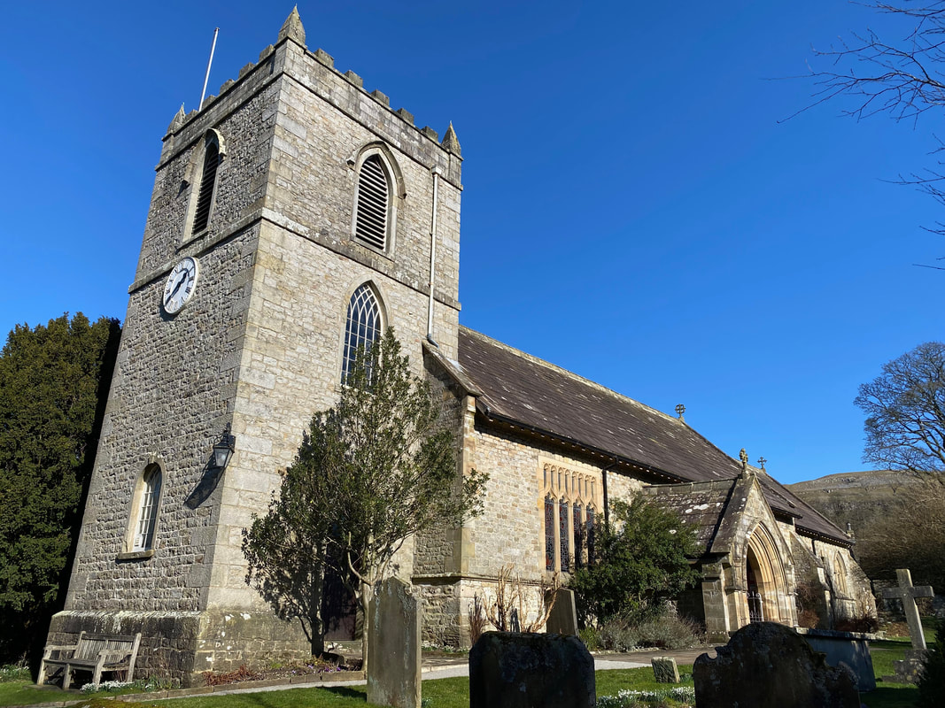
The second of today's church called St Mary's - this time in Kettlewell
The original Norman church was founded in 1120. Of that church only the magnificent Font remains. Rebuilt by the Georgians, the church was again found to be unsafe and was demolished in 1882. The Georgian tower remains to crown the Victorian church consecrated on St Mary's day 1885.
The original Norman church was founded in 1120. Of that church only the magnificent Font remains. Rebuilt by the Georgians, the church was again found to be unsafe and was demolished in 1882. The Georgian tower remains to crown the Victorian church consecrated on St Mary's day 1885.
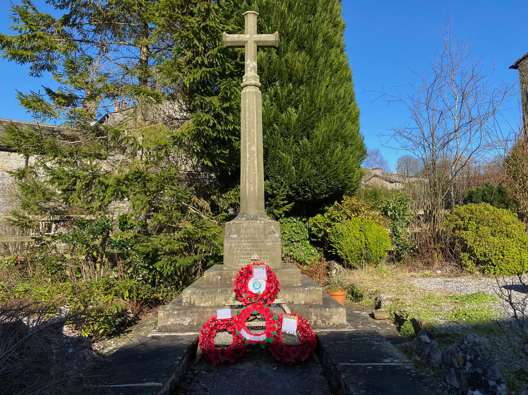
The War Memorial in Kettlewell
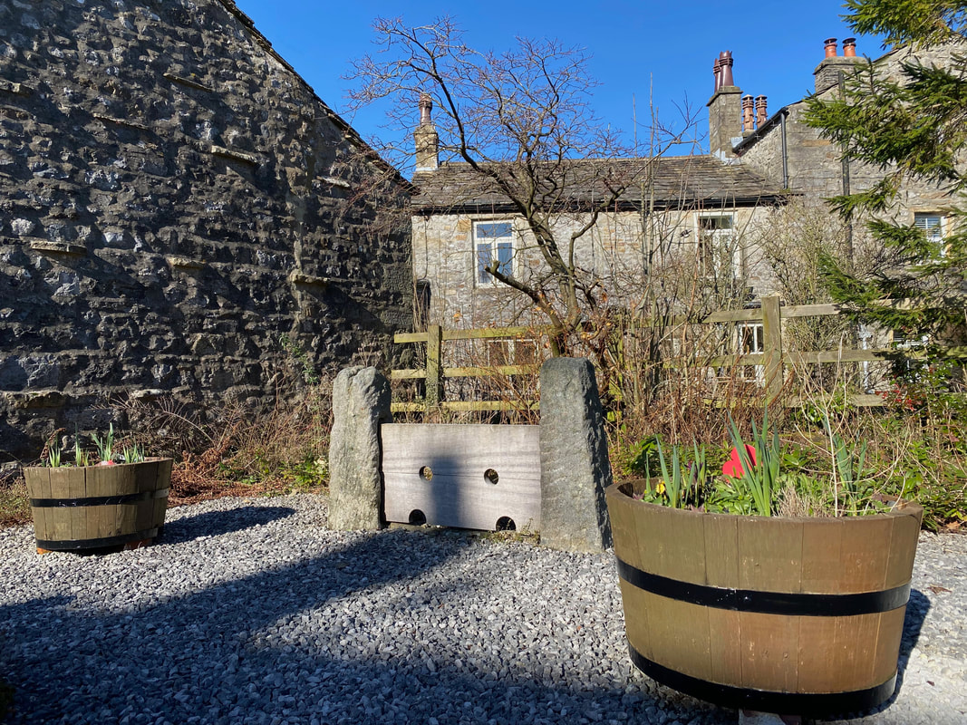
The village stocks in Kettlewell. During the annual Scarecrow Festival the stocks have been known to imprison scarecrows depicting people such as Gordon Brown & Mr Bean to name a few.
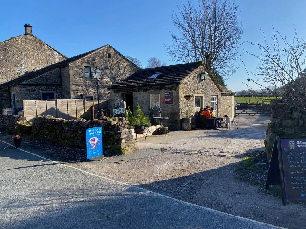
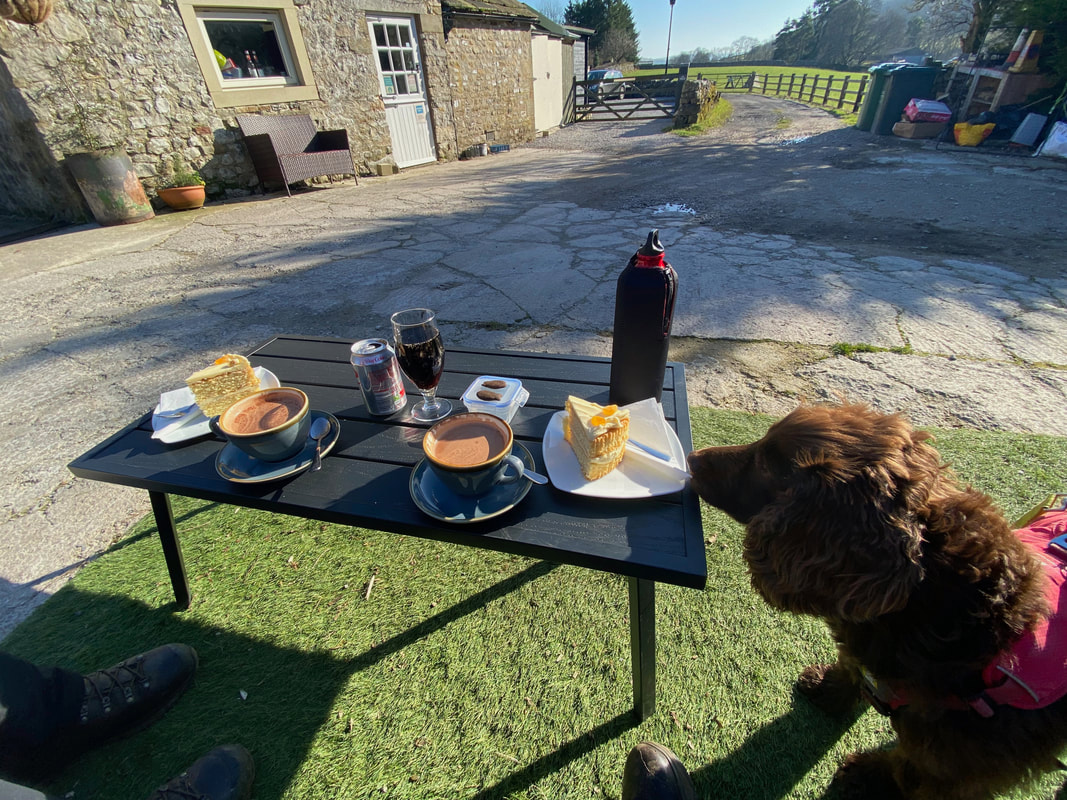
Once of several cafes in and around Kettlewell - silly not to stop I suppose. I wonder if they have any salad, something light like that..........
Really disappointed in their fare to be honest - no salad therefore we had to put up with a slab of Orange Marmalade Cake. They didn't have any Diet Hot Chocolate either - they had Diet Coke though!
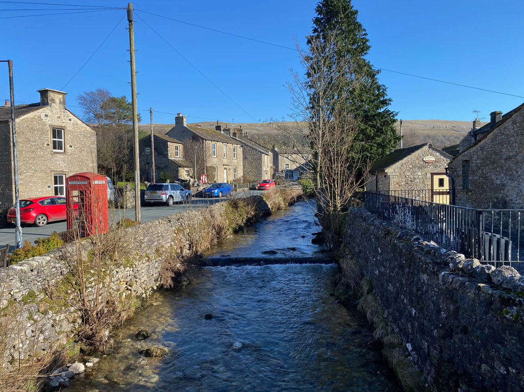
Kettlewell Beck
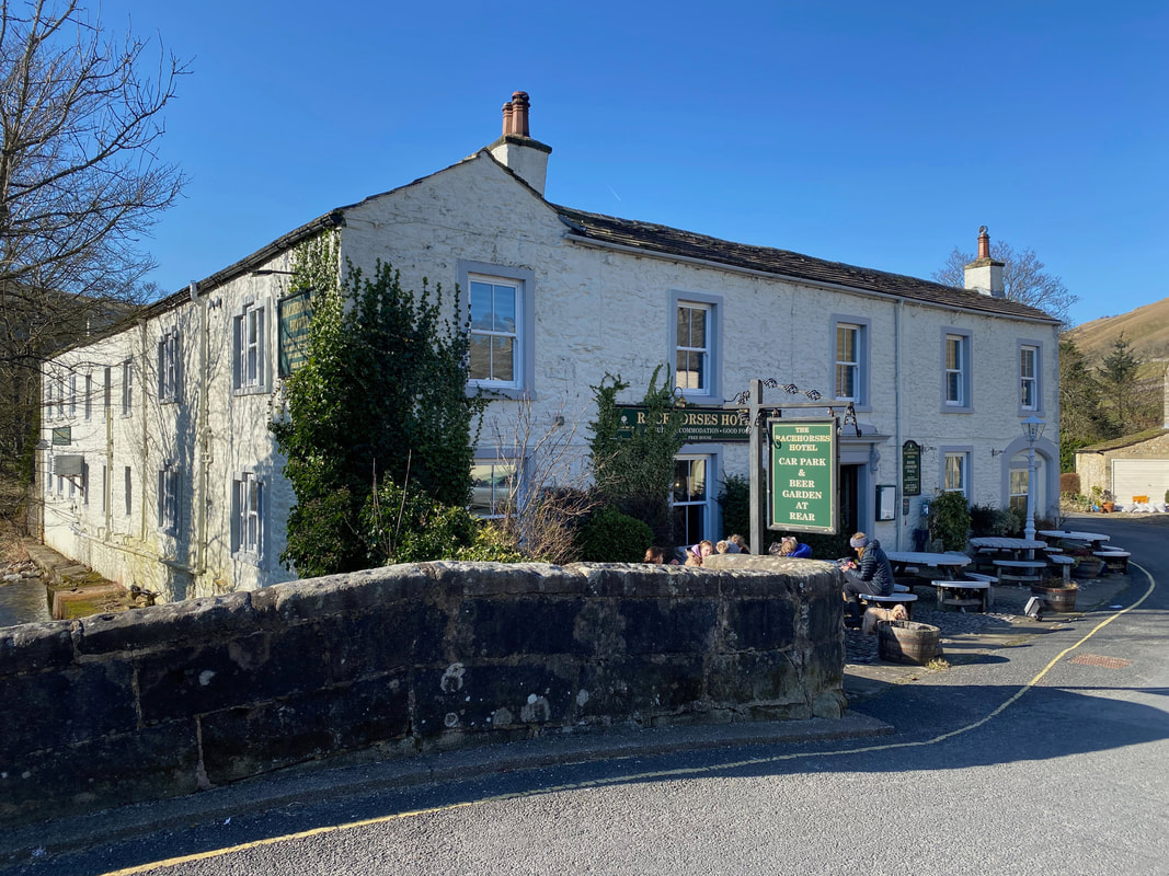
The bridge over Kettlewell beck and The Racehorses Pub. Another of Kettlewell's pubs (The Blue Bell) is staggering distance out of shot to the right.
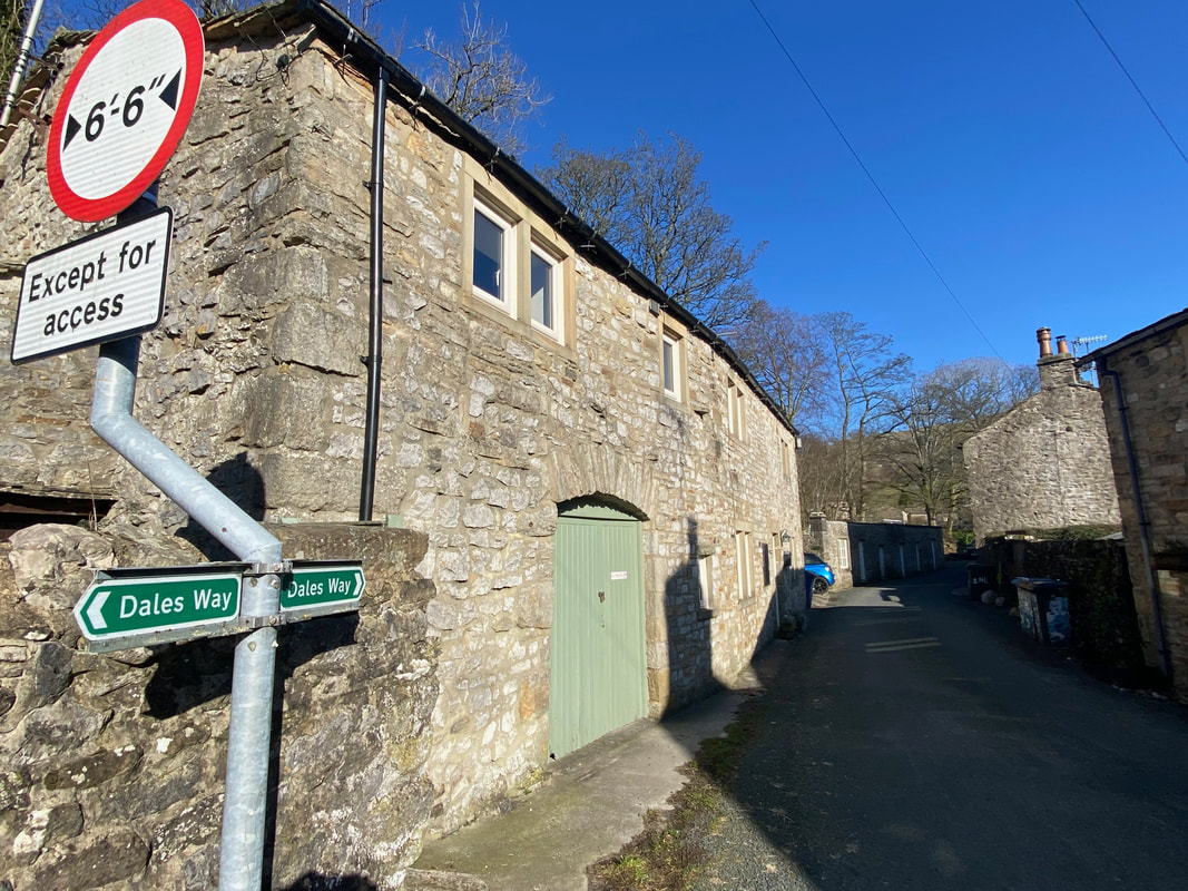
Retracing our steps back to the church we now joined the route of The Dales Way. We would follow this National Trail for the next 3 miles leaving it near Conistone Dib. We walked The Dales Way in 2014 and a journal of that walk can be found here
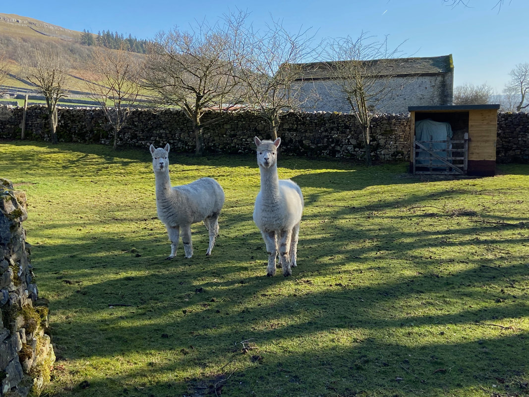
Alpacas or Llamas - Llamas or Alpacas?? They both look very much alike however these are Alpacas.
Leaving Kettlewell, The Dales Way firstly heads over lush green fields
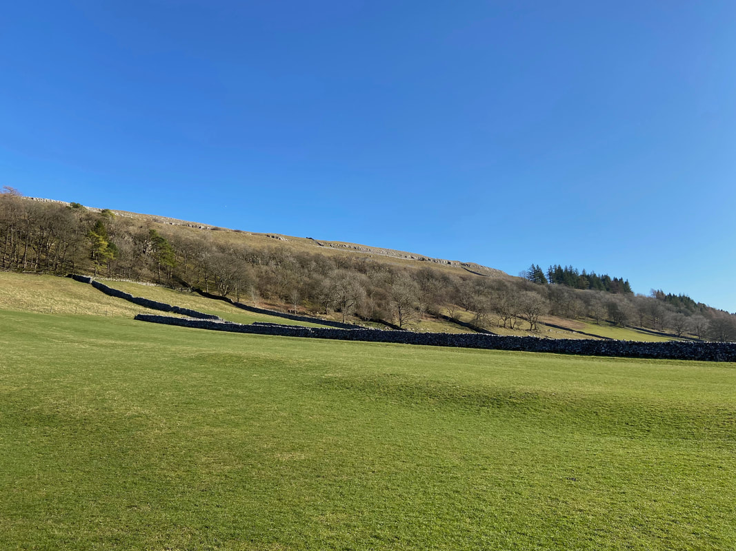
After crossing several fields the route meets the road between Conistone & Kettlewell. After approximately 1/4 of a mile along the road a turning is reached on the left signposted Dales Way & Grassington - this is Highgate Leys Lane.
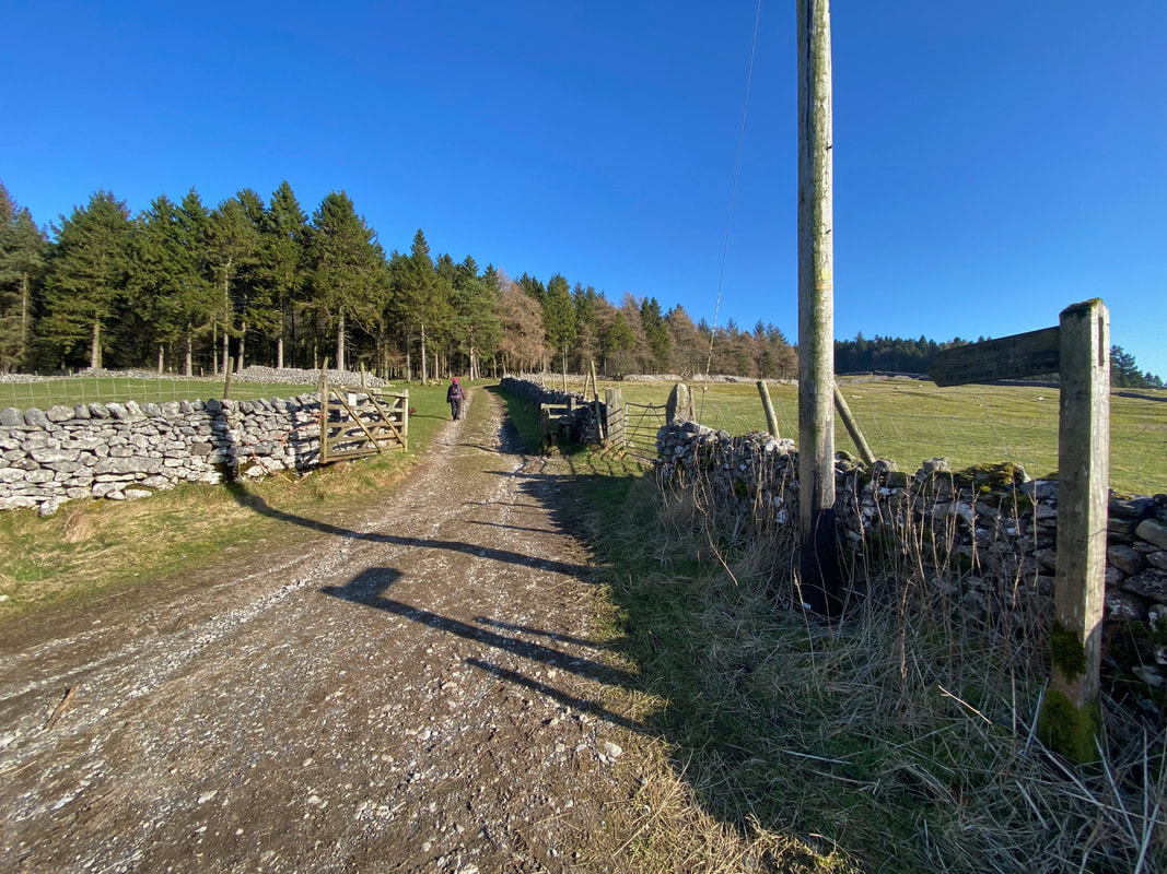
About half a mile up Highgate Leys Lane, a hand gate gives access to the open fell side. The main track heads straight on however we would be turning to the right continuing to follow The Dales Way.
We now enjoyed a lovely escarpment walk along Swineber Scar
Fudge trots merrily along, me less so as we continue along Swineber Scar
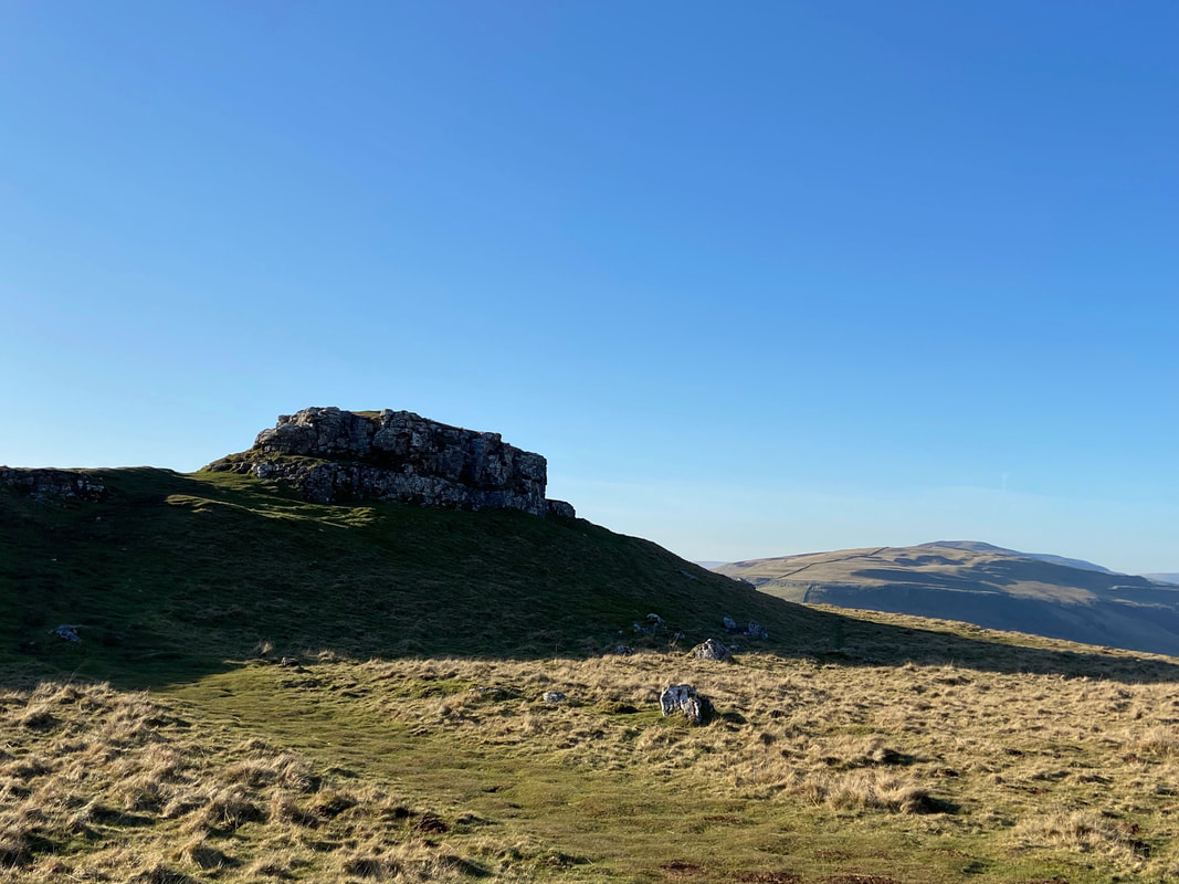
Approaching the prominent limestone outcrop of Conistone Pie
Nearing Conistone Pie - no prizes for guessing why it is called that
Looking back along our route over Swineber Scar from Conistone Pie
Conistone Pie - and yes we did bother to climb it
Heading along Hill Castles Scar towards Conistone Dib
Approaching Conistone Dib
Looking into Conistone Dib from The Dales Way. Having climbed in and out of Conistone Dib several times over the past few days we decided to stay high and drop into the Dib from the left hand side.
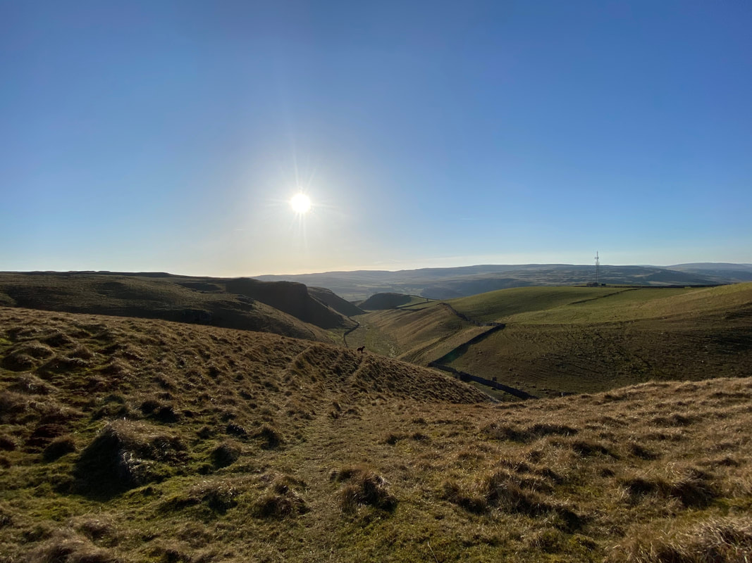
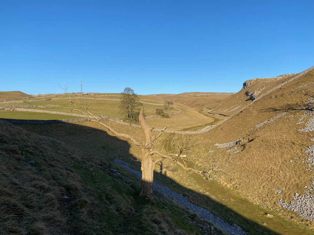
Fudge in the distance as we head along the upper left hand side of Conistone Dib - over to the right is the communication transmitter on Wassa Hill which we passed at the start of the walk
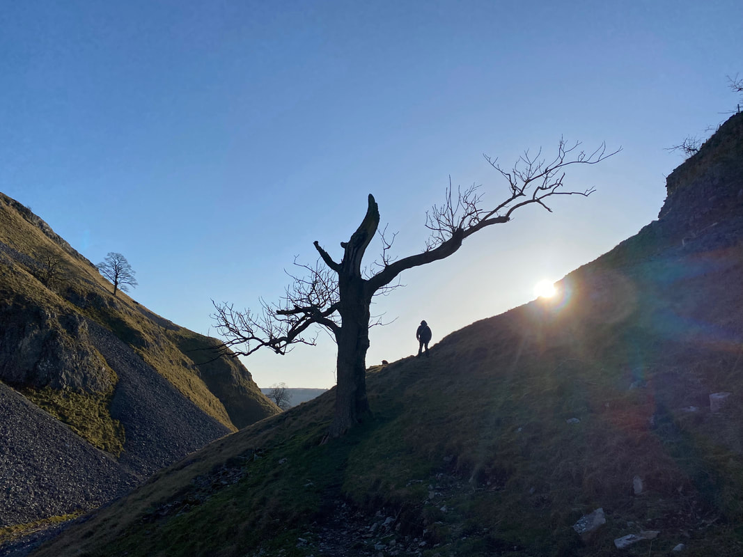
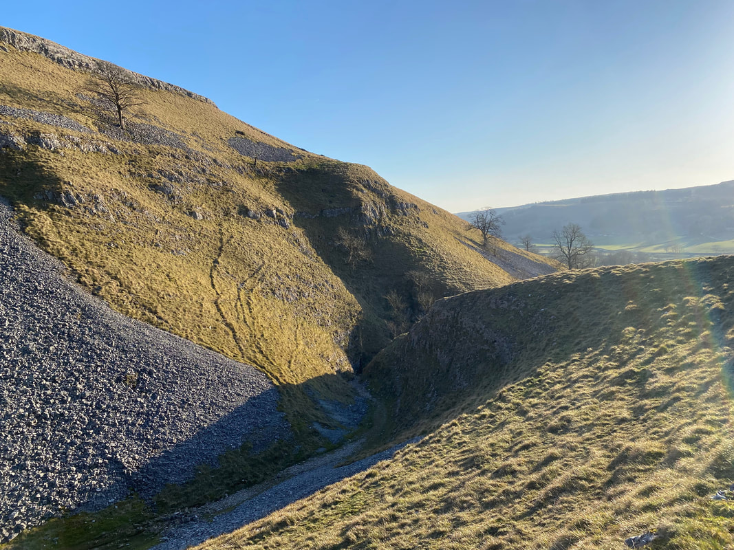
Dropping down into Conistone Dib - the Dib is a dry valley & limestone gorge
From the path a gate gives access into Conistone Dib - we would turn left here to return to the start of the walk
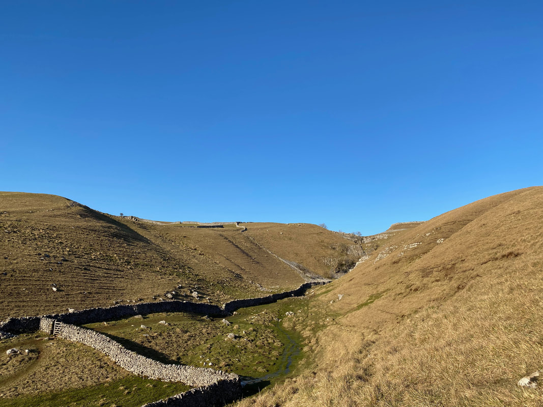
Conistone can be reached via the narrow dry melt-water channel of Gurling Trough however we walked above this on a good path. The route rejoins the main path on the other side of the trough.
Looking back into Conistone Dib from above Gurling Trough
The entrance to Gurling Trough
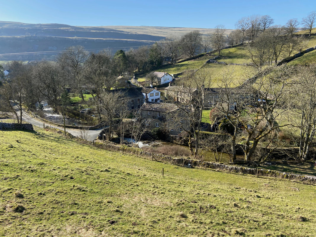
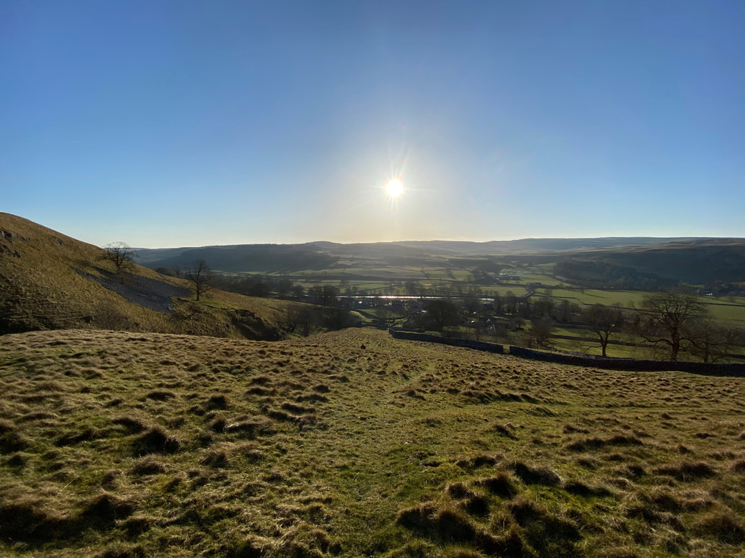
Approaching Conistone following another superb walk in beautiful Wharfedale
