Parkhouse Hill & Chrome Hill - Tuesday 21 April 2015
Route
Longnor - Top o'th Edge - Green Lane - Hitter Hill - Parkhouse Hill - Chrome Hill - Stoop Farm - Hollinsclough - Longnor
Parking
Plenty of free parking in Longnor
Mileage
8 miles
Terrain
Well used paths with some road walking along a quiet lane near the end. The descent from Parkhouse Hill is steep and therefore care needs to be taken.
Weather
Mild and sunny.
Time Taken
4hrs 15mins
Total Ascent
2135ft (650m)
Map
OL24 - The Peak District (White Peak Area)
|
GPX File
|
| ||
If the above GPX file fails to download or presents itself as an XML file once downloaded then please feel free to contact me and I will send you the GPX file via e-mail.
Walk Description
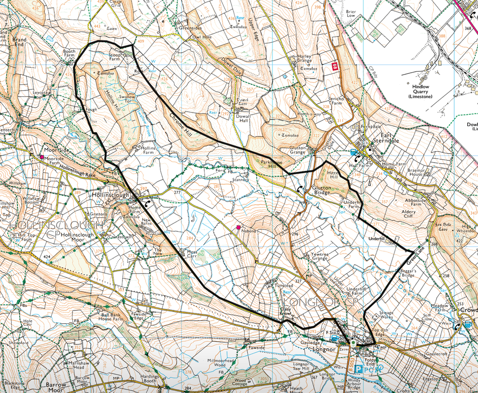
The two Peak District hills of Parkhouse & Chrome are situated in the White Peak near the lovely village of Longnor which is to the south of Buxton. Longnor is a busy place with lots of walkers and cyclists about and has a lovely Tea Shop and a few pubs. Both hills are two impressive fins of rock and whilst diminutive compared to other parts of the District, they provide good climbing, fine views and are exposed in areas giving an airy and steep feel to them. These are no pushover, particularly the descent from Parkhouse to Chrome and provide an exhilarating day out.
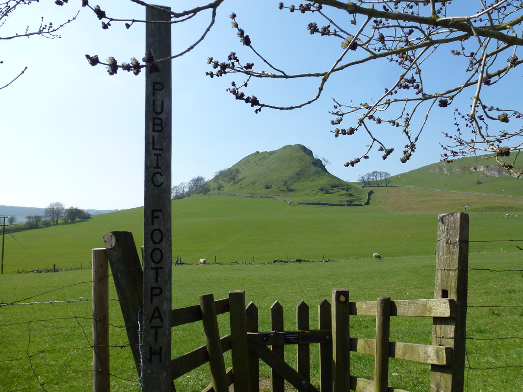
Leaving Longnor to the east, the route heads over fields and pasture to reach the lower slope of Hitter Hill to meet a path coming in from the village of Earl Sterndale. From the summit of Hitter Hill there is a steep descent on grass to reach a path (see photo below) and subsequently a road. The route then heads over a field to reach the foot of Parkhouse Hill from where there is a short, sharp pathless pull up to the rocky summit.
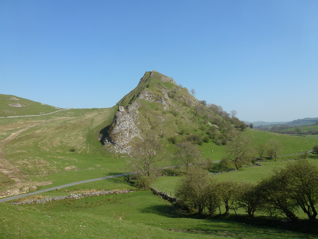
It is at the summit of Parkhouse where the fun starts. There now begins a delightful walk along the summit which weaves between the rocky outcrops to reach the top of a steep descent. The path down is not difficult but is steep in places and winds down to the right to eventually arrive at the foot of the slope. Take the opportunity a little further on to have a look back at the imposing frontage of the hill. Crossing another road leads to the foot of Chrome Hill.
The ascent of Chrome Hill is gradual and again there is a roller coaster walk over the summit ridge to reach the descent which is gentler and much easier. The route then passes the lovely Tor Rock before heading around Stoop Farm to reach a track which loops around the base of Hollins Hill to arrive at the small village of Hollinsclough. There is a choice of route here - you can either head slightly north east from the village towards Parkhouse Hill and return via Glutton Bridge or remain on the quiet road for a couple of miles to eventually reach Longnor - we chose the latter.
Leaving Longnor to the east, the route heads over fields and pasture to reach the lower slope of Hitter Hill to meet a path coming in from the village of Earl Sterndale. From the summit of Hitter Hill there is a steep descent on grass to reach a path (see photo below) and subsequently a road. The route then heads over a field to reach the foot of Parkhouse Hill from where there is a short, sharp pathless pull up to the rocky summit.
It is at the summit of Parkhouse where the fun starts. There now begins a delightful walk along the summit which weaves between the rocky outcrops to reach the top of a steep descent. The path down is not difficult but is steep in places and winds down to the right to eventually arrive at the foot of the slope. Take the opportunity a little further on to have a look back at the imposing frontage of the hill. Crossing another road leads to the foot of Chrome Hill.
The ascent of Chrome Hill is gradual and again there is a roller coaster walk over the summit ridge to reach the descent which is gentler and much easier. The route then passes the lovely Tor Rock before heading around Stoop Farm to reach a track which loops around the base of Hollins Hill to arrive at the small village of Hollinsclough. There is a choice of route here - you can either head slightly north east from the village towards Parkhouse Hill and return via Glutton Bridge or remain on the quiet road for a couple of miles to eventually reach Longnor - we chose the latter.
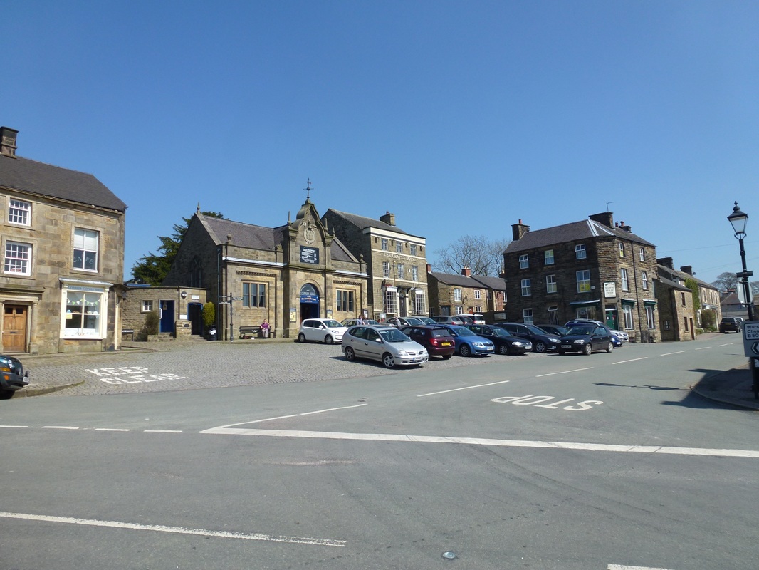
The village of Longnor
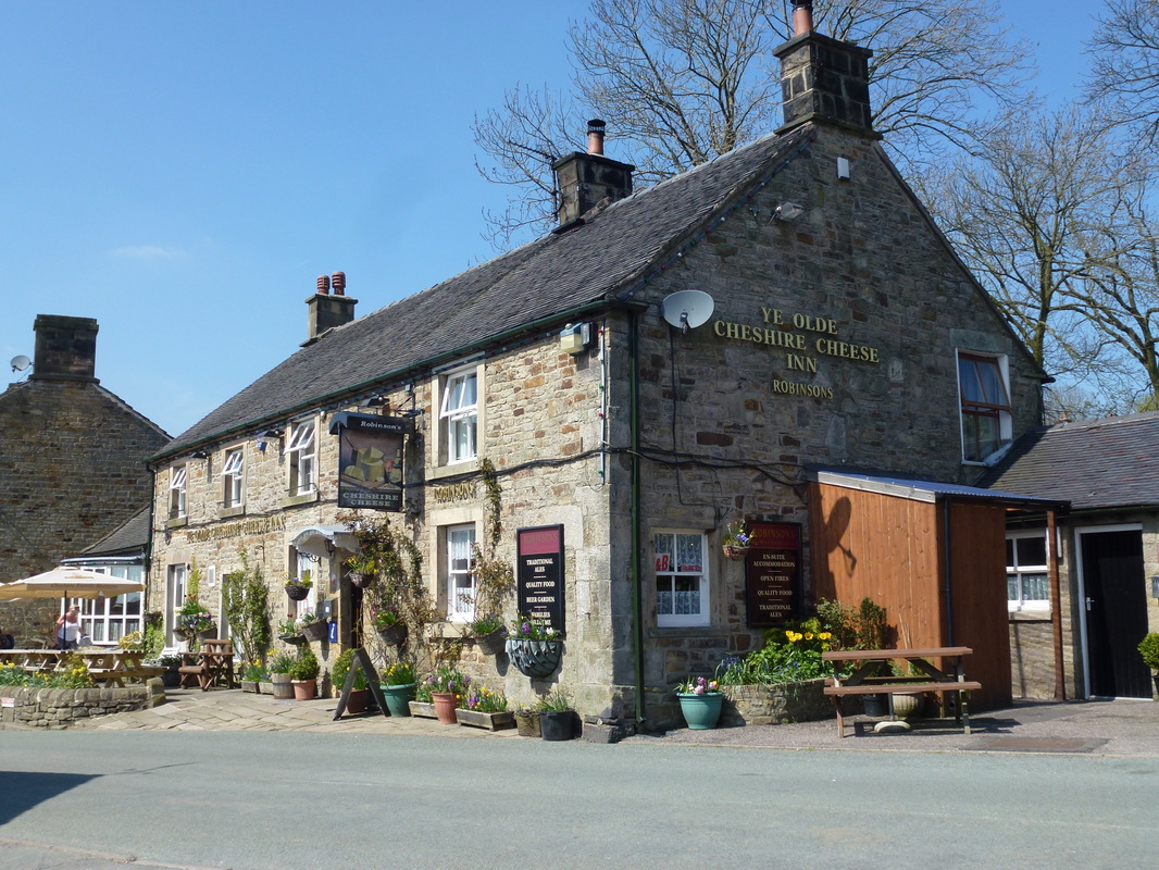
Did not stop here but I have it on good authority that it is a very good pub
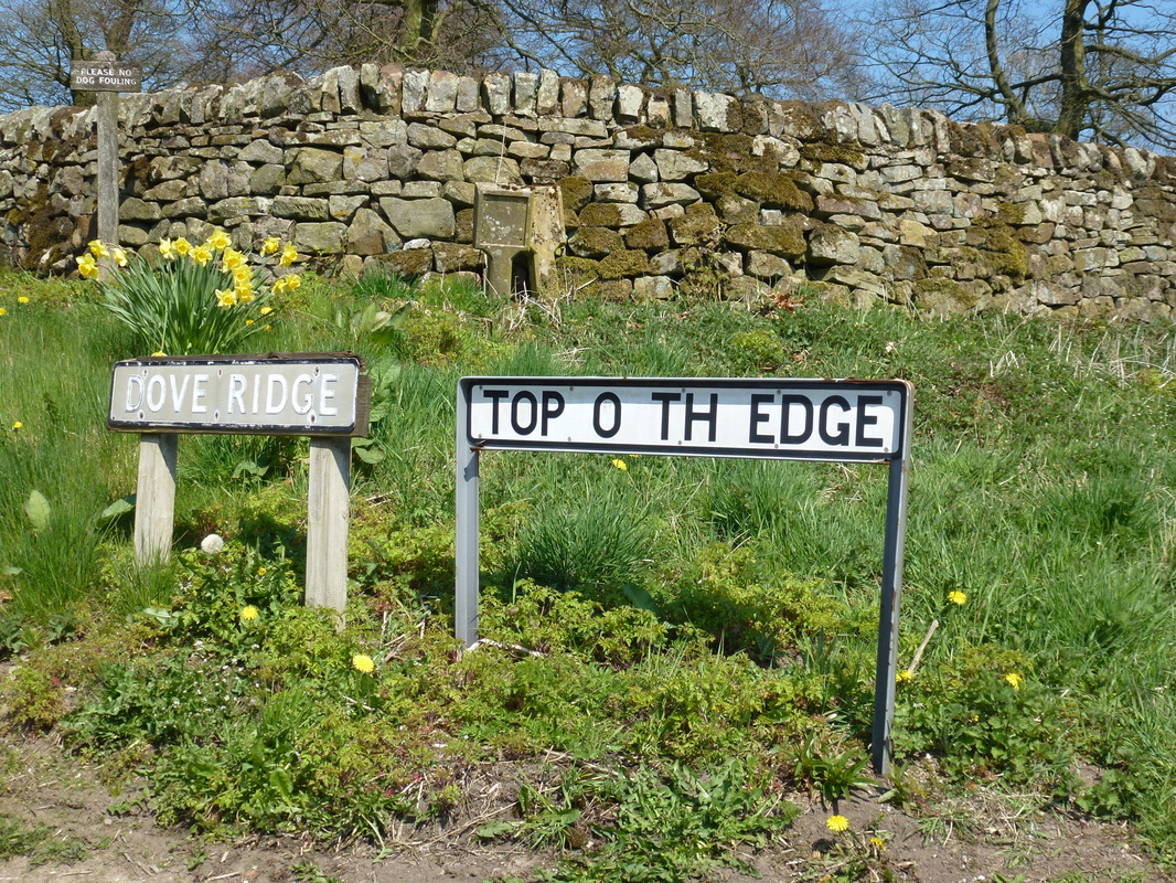
Love the sign on the right
Heading for Beggar's Bridge
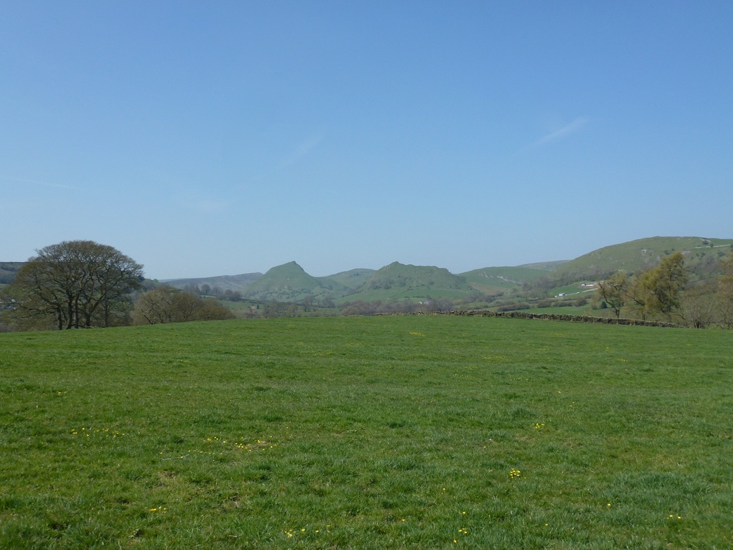
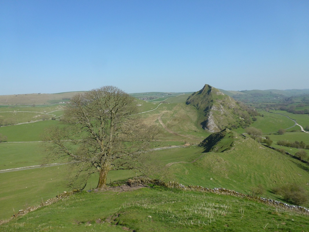
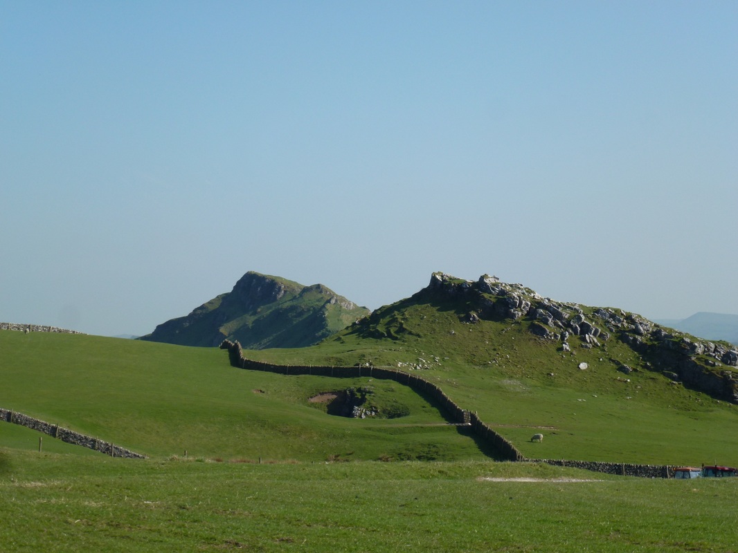
Chrome Hill & Parkhouse Hill come into view to the North West
Heading up to Hitter Hill
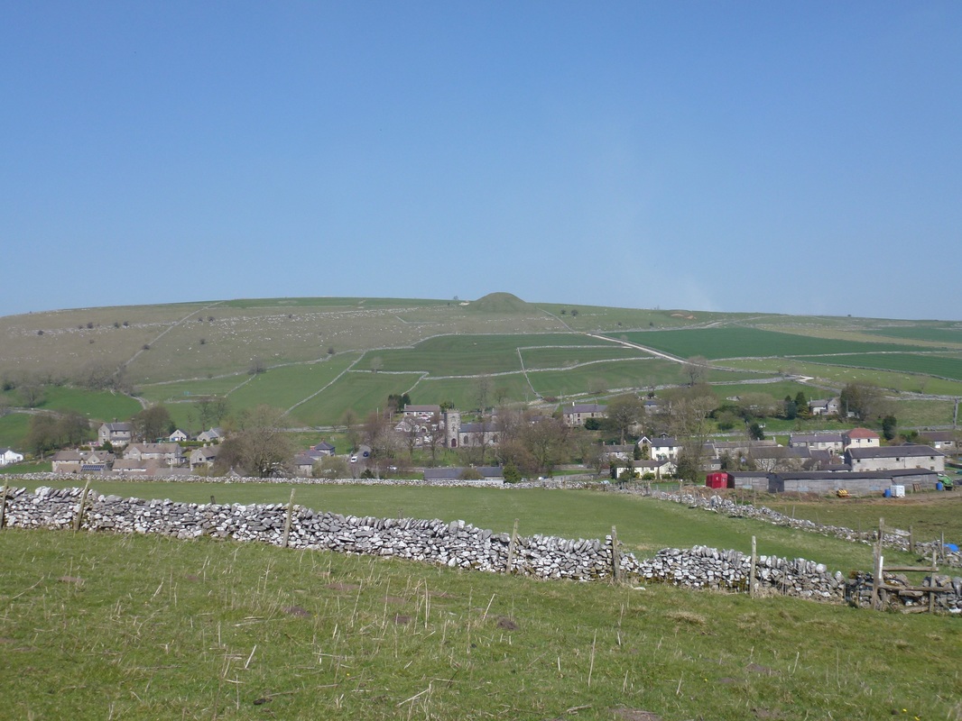
The village of Earl Sterndale
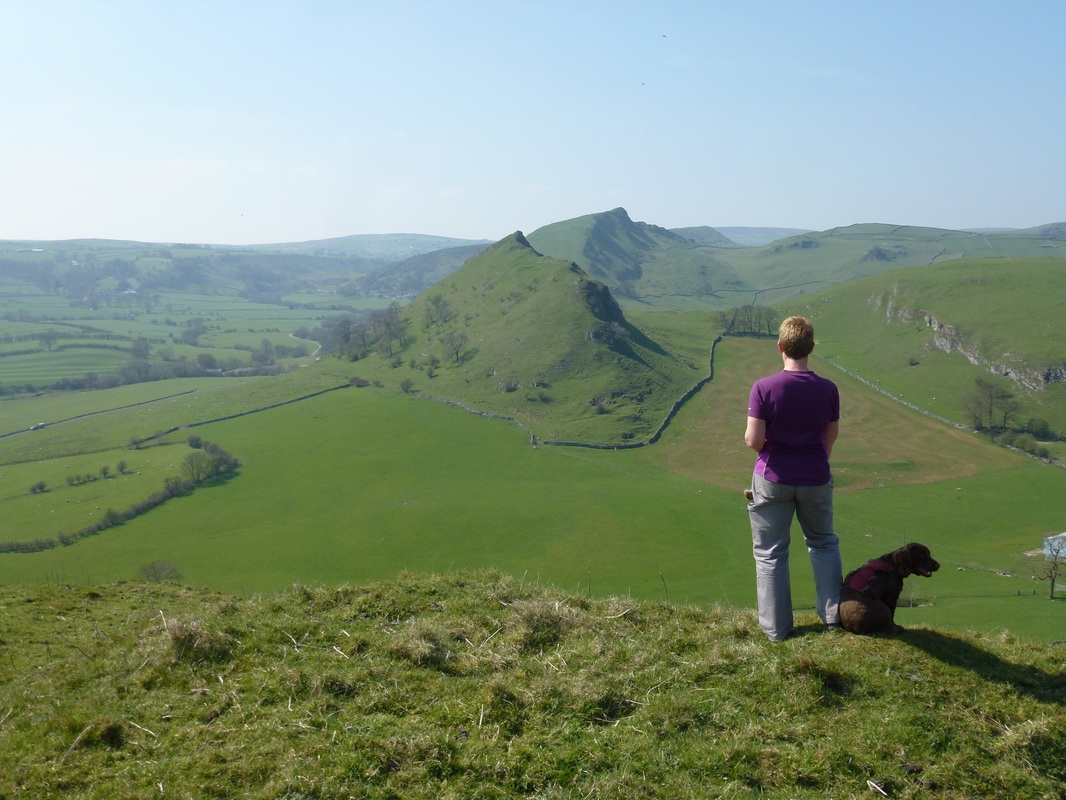
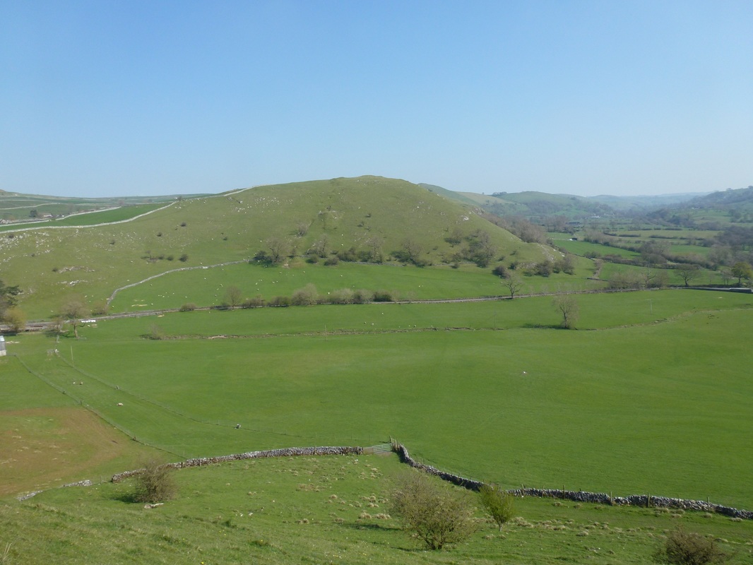
Parkhouse Hill & Chrome Hill from Hitter Hill
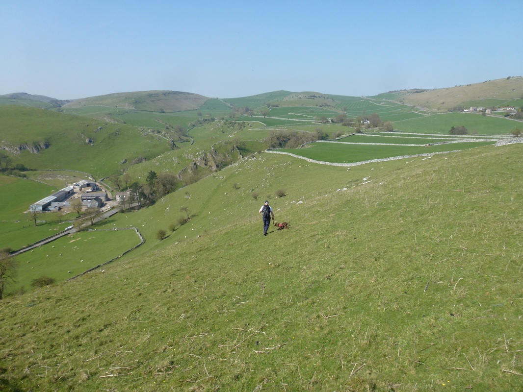
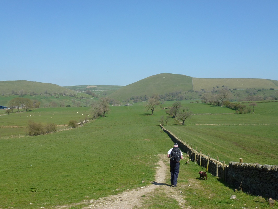
Heading down the slope from Hitter Hill.
The drop to the left is steep therefore it is best to head for the wall on the right and then drop down to the lower wall on the left via the path.
The drop to the left is steep therefore it is best to head for the wall on the right and then drop down to the lower wall on the left via the path.
The climb to Parkhouse Hill
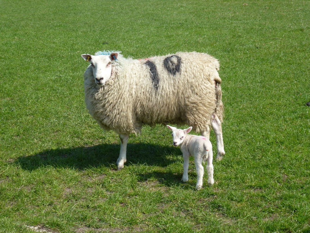
Come in Number 10
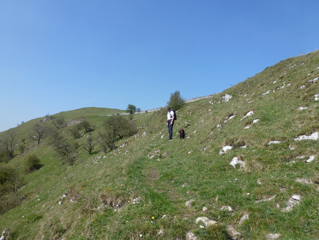
Hitter Hill
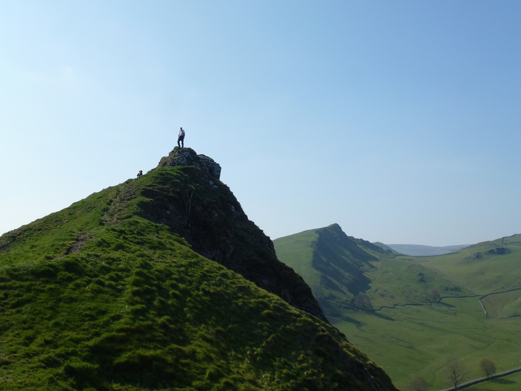
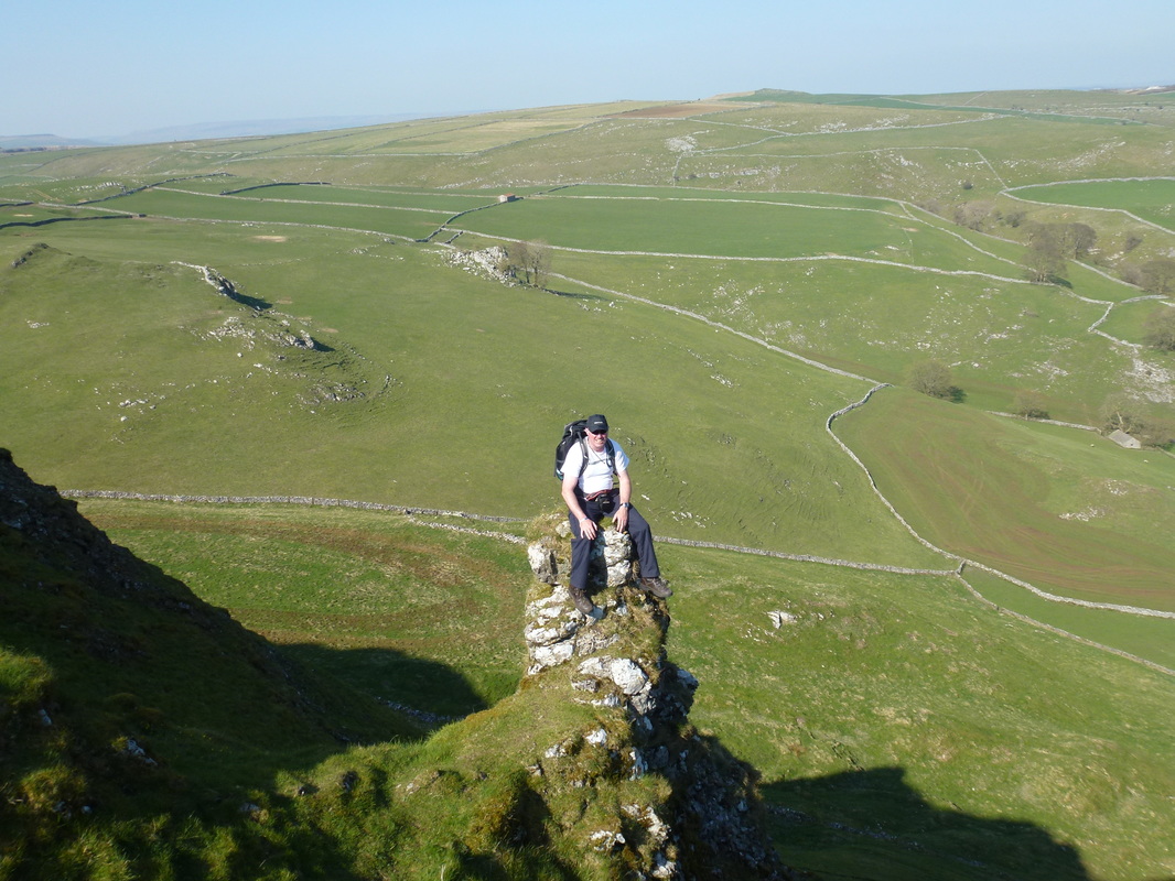
The summit of Parkhouse Hill
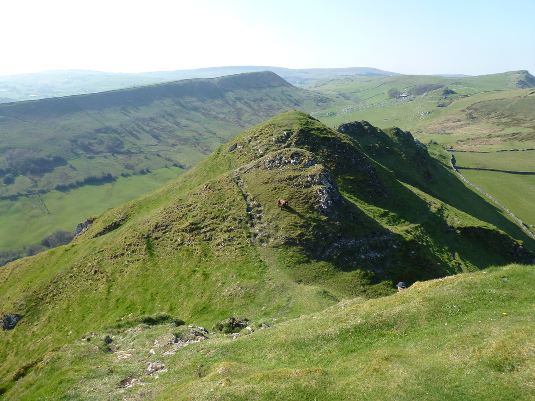
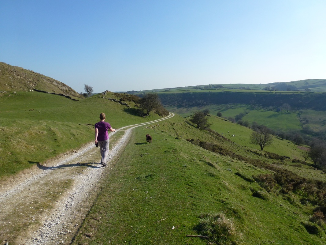
The descent off Parkhouse Hill is steep but there is a good path down which meanders around the rocky edges
The path steepens even more on rounding the summit - we just took our time down this stretch - apart from Fudge that is!
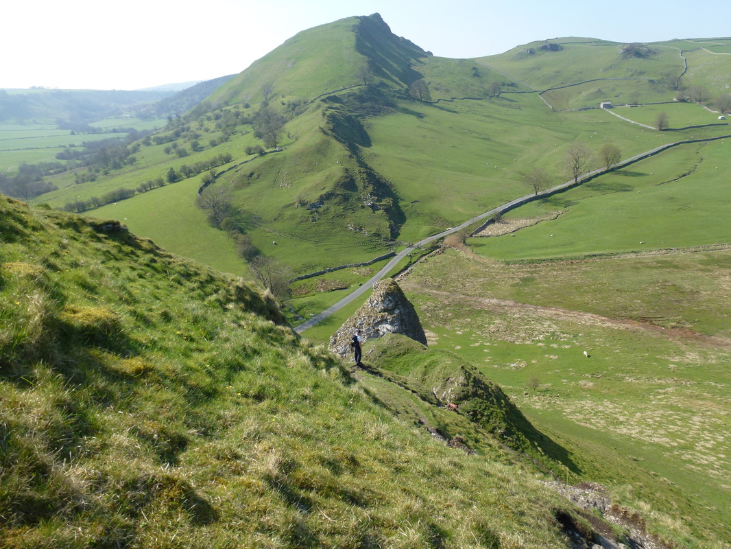
The path reaches a mini col and then heads right to pass beneath the lump of rock in the centre of shot
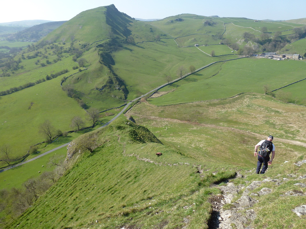
Looking back at the descent of Parkhouse Hill
Ascending Chrome Hill
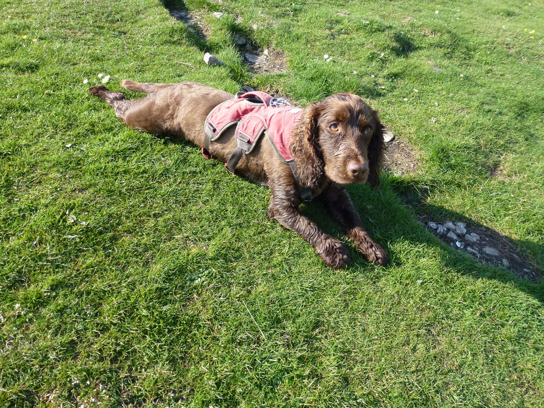
Fudge was loving all this up and down today
Near the top of Chrome Hill was this finger of rock - never one to refuse a photo opportunity!
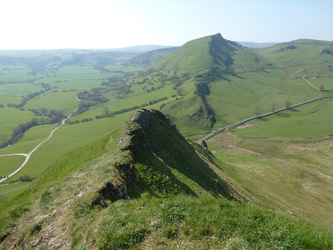
From the summit of Chrome Hill - a roller coaster of ups and downs before the gentle descent down off the hill
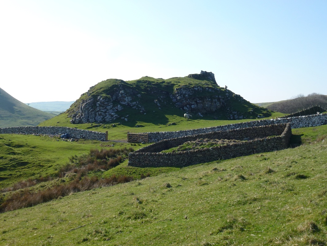
Tor Rock and an impressive sheepfold
Looking back to Tor Rock and Chrome Hill
Quick march and off we go on the path back to Longnor via Hollinsclough. Hollins Hill is to the left.
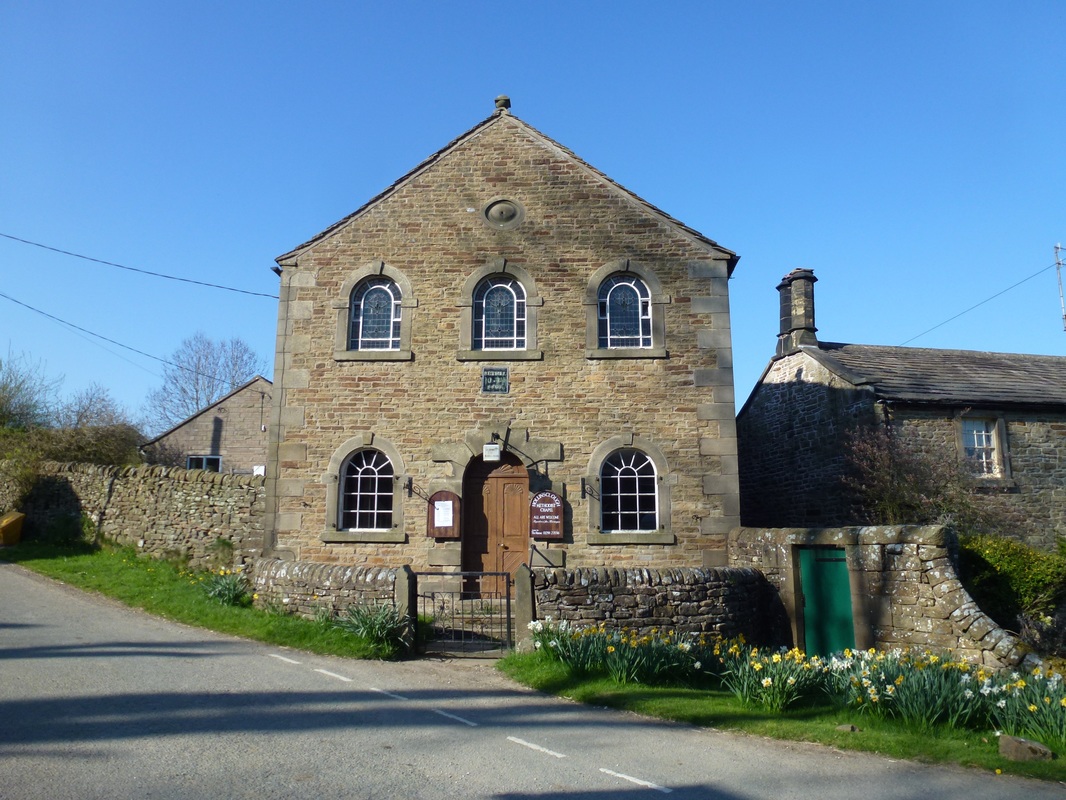
The Methodist Chapel in Hollinsclough
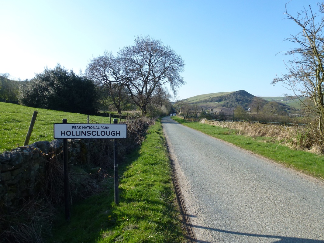
The last part of the walk from Hollinsclough to Longnor was by road - a quiet one at that.
Back in Longnor - time for a beer.