Brown Clee Hill - Tuesday 17 February 2015
Route
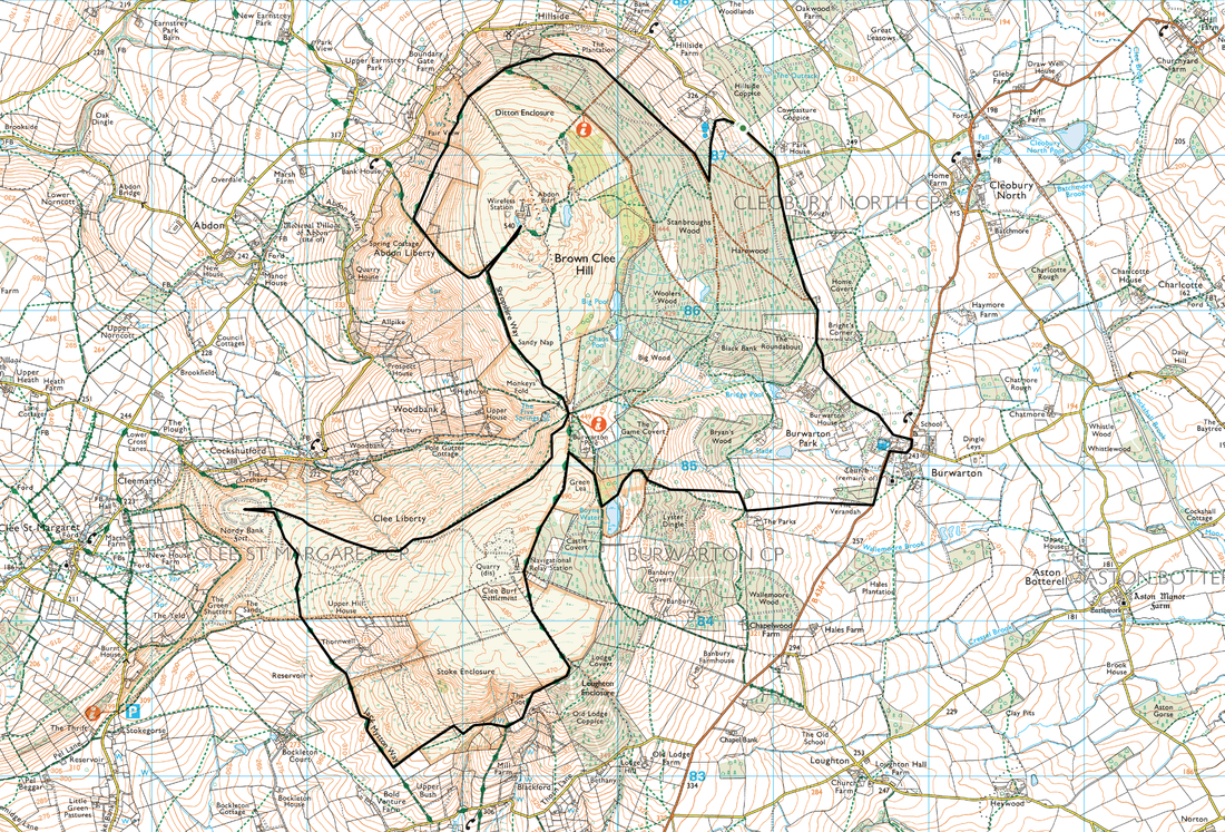
Cleobury North (Hillside Coppice) - Brown Clee Hill - Nordy Bank Fort - Clee Burf - Burwarton - Cleobury North (Hillside Coppice)
Parking
Parking Area to the West of Hillside Coppice near Cleobury North (Free) - Grid Ref SO 608872
Mileage
12.7 miles
Terrain
Clear grassy paths with some muddy sections.
Weather
Sunny and clear, becoming cloudy later.
Time Taken
6hrs 30mins
Total Ascent
1840ft (561m)
Map
OS Explorer 217 - The Long Mynd & Wenlock Edge
|
GPX File
|
| ||
If the above GPX file fails to download or presents itself as an XML file once downloaded then please feel free to contact me and I will send you the GPX file via e-mail.
Walk Description
The weather looked promising today therefore we joined up with Nick Goodwin who we met via the WFP FB group. Nick was going to lead us on a figure of eight walk that would include Brown Clee Hill (Abdon Burf), Nordy Bank Fort and Clee Burf. Brown Clee Hill is a County Top, being the highest point in Shropshire.
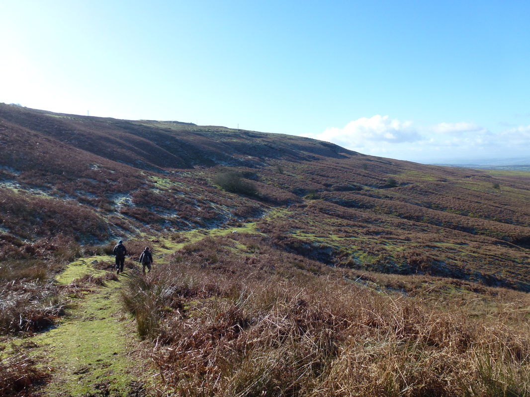
The walk started from the roadside verge near Hillside Coppice, west of the village of Cleobury North where there is room for quite a few cars. Leaving the car park we headed up to Stanbroughs Wood and hand railed the bottom of the plantation before heading south west around the bottom of Ditton Enclosure. The summit of Brown Clee Hill soon came into view and we made our way to the top via a muddy path to reach the Toposcope and the unpleasant sight of the two large masts. The summit gives out glorious views over to The Long Mynd, The Wrekin and Titterstone Clee.
From the summit we retraced our steps before heading south, joining the Shropshire Way, soon travelling west again to reach the Iron Age Hill Fort at Nordy Bank. From the Fort there was now a long section to the south on the Jack Mytton Way before we turned east again to head up to the summit of Clee Burf. From the summit, the remainder of the walk is through the picturesque Burwarton Estate, passing Boyne Water and arriving at the road just south of Burwarton village. We then walked up into the village to The Boyne Arms, a delightful pub serving good food and even better beer www.boyne-arms.co.uk/home
Suitably refreshed we then made the short journey up through fields, passing Burwarton House to arrive back at the start. This was a delightful walk in clear visibility, varied and full of interest. Many thanks to Nick for leading this one - we will be back.
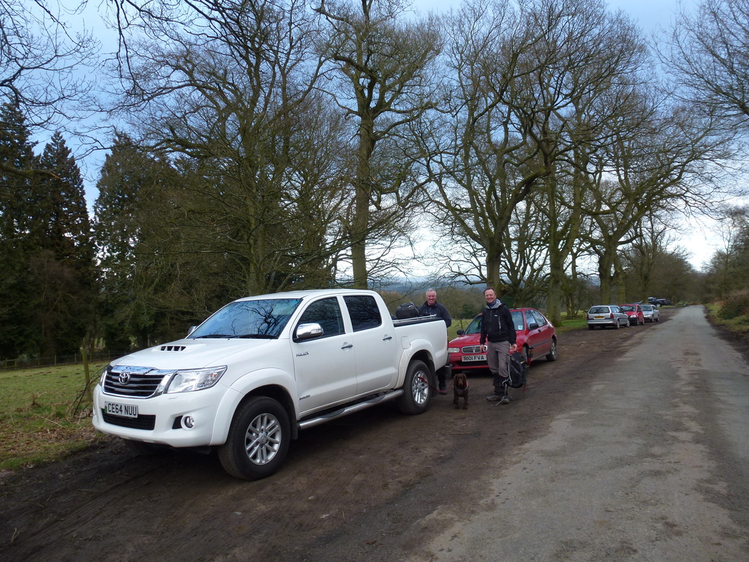
The walk starts from the parking area west of Cleobury North by Hillside Coppice
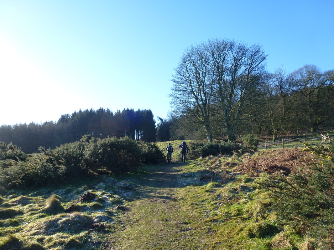
Nick & Dave head up to Stanbroughs Wood
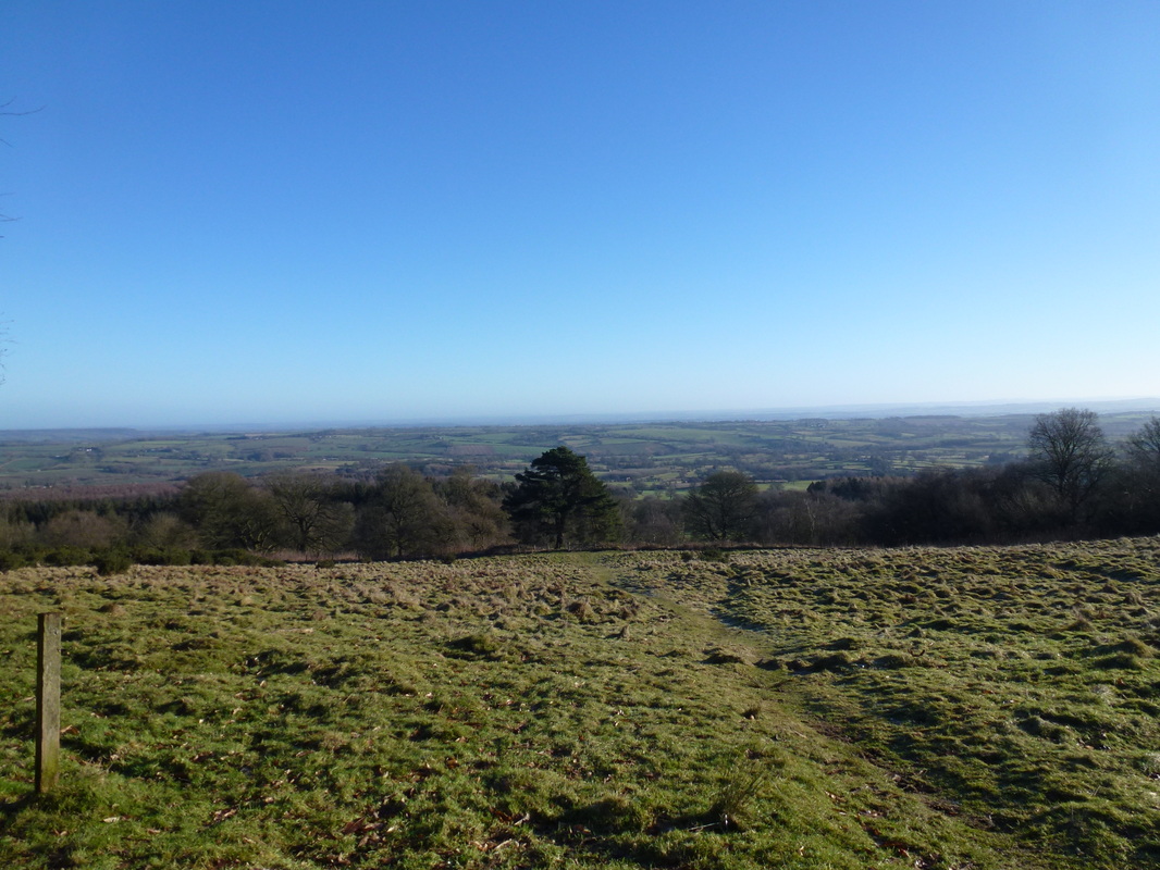
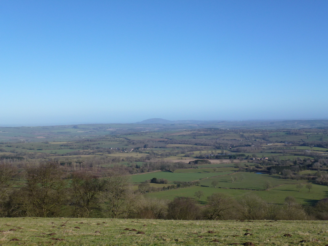
Early doors but we were already afforded superb views
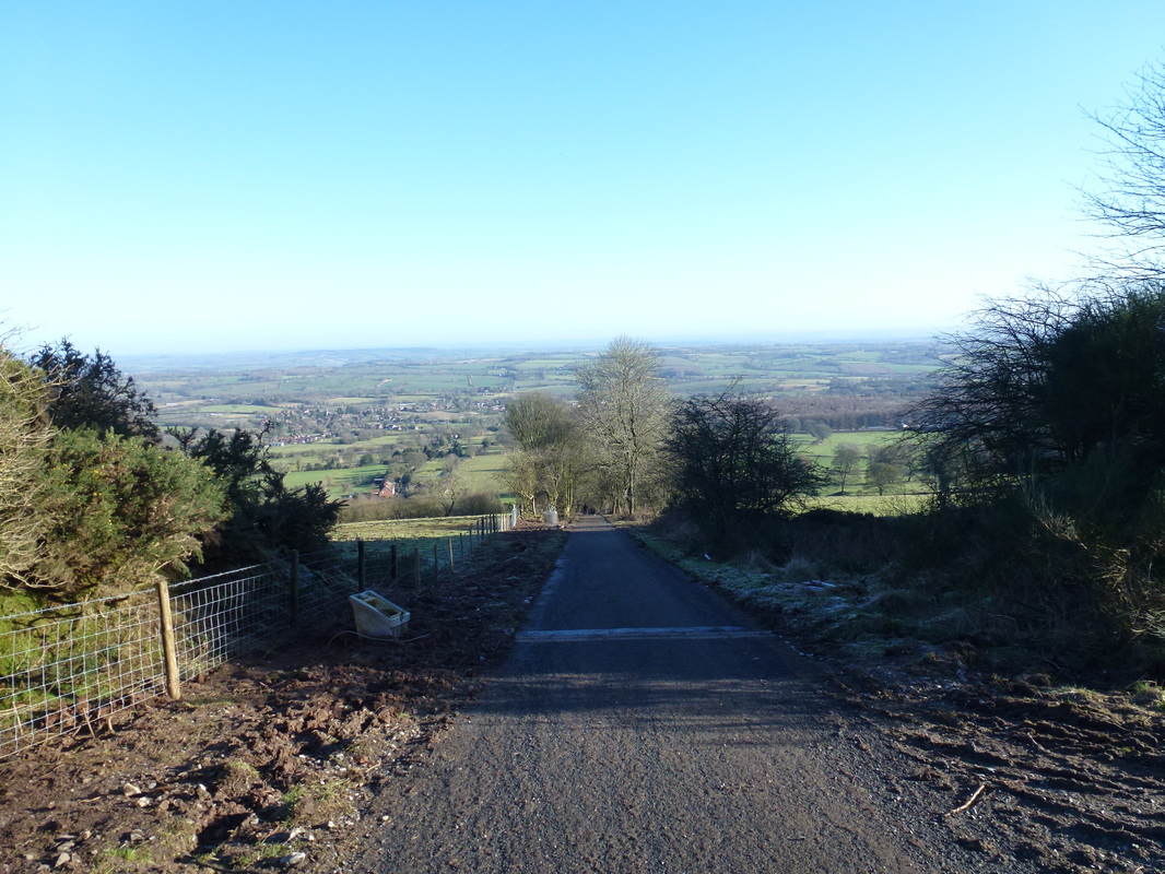
This track is an alternative way up from further along the road near Hillside Farm - steep though!
Looking over to The Wrekin
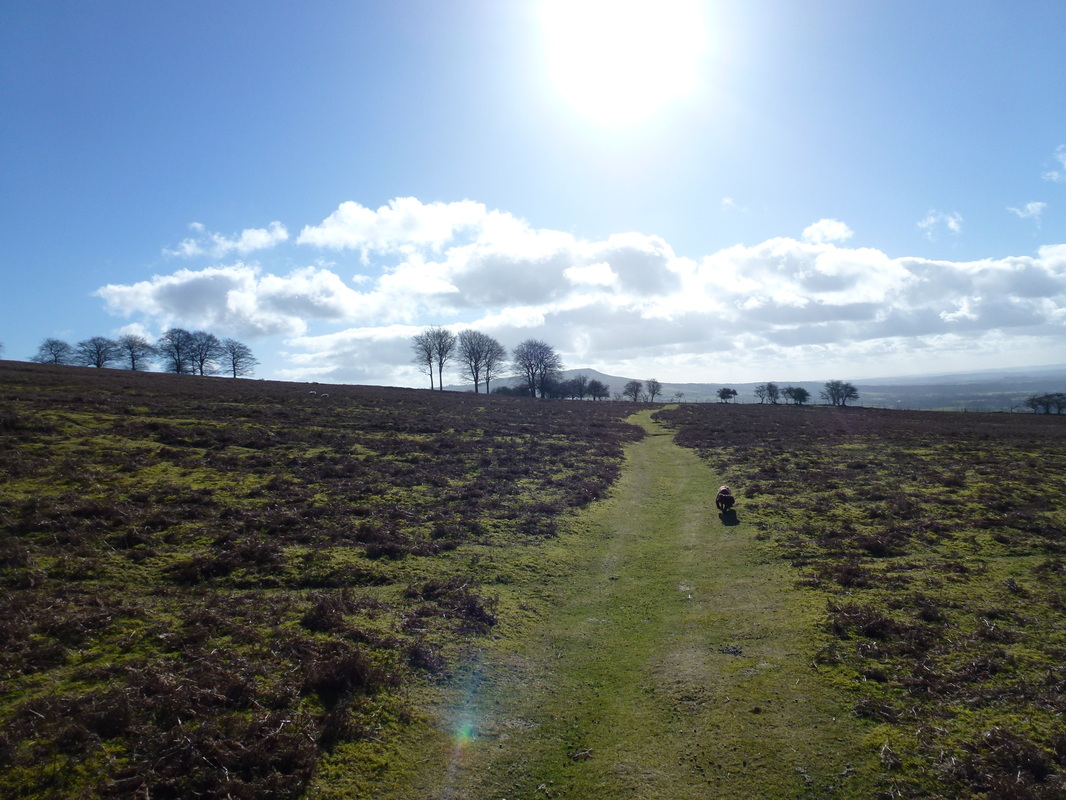
Fudge is off as we head around Ditton Enclosure
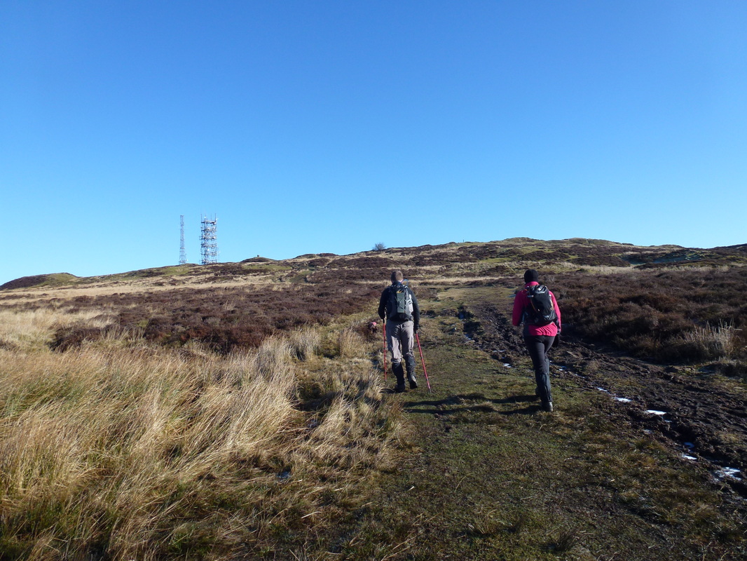
The summit toposcope on Brown Clee Hill can just be made out - the two masts unfortunately are visible for all to see
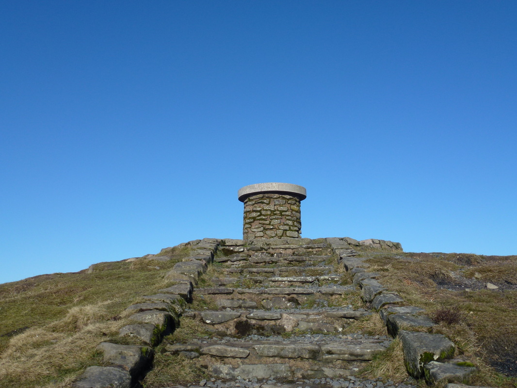
The stairway up to the Toposcope on the summit of Brown Clee Hill
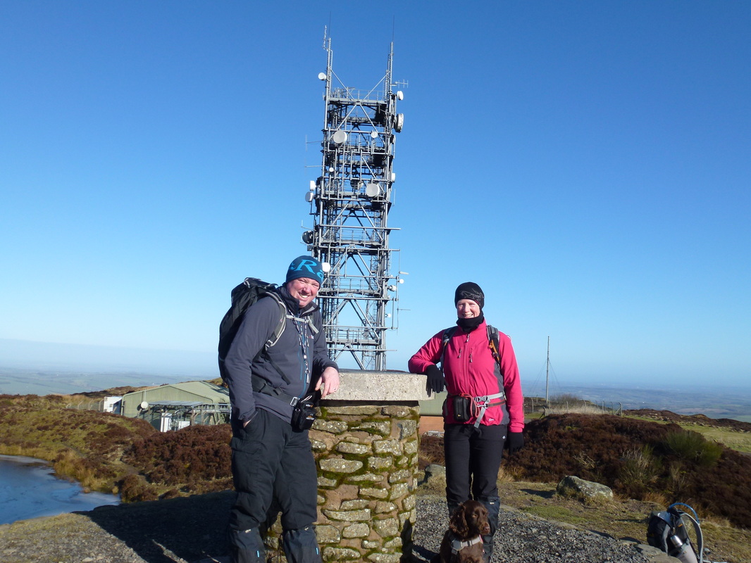
Dave, Angie & an uninterested Fudge on the summit of Brown Clee Hill. Fudge, as usual is probably thinking of his stomach.
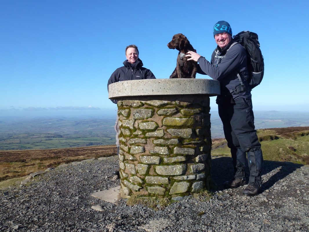
Nick, Fudge & Dave on the summit
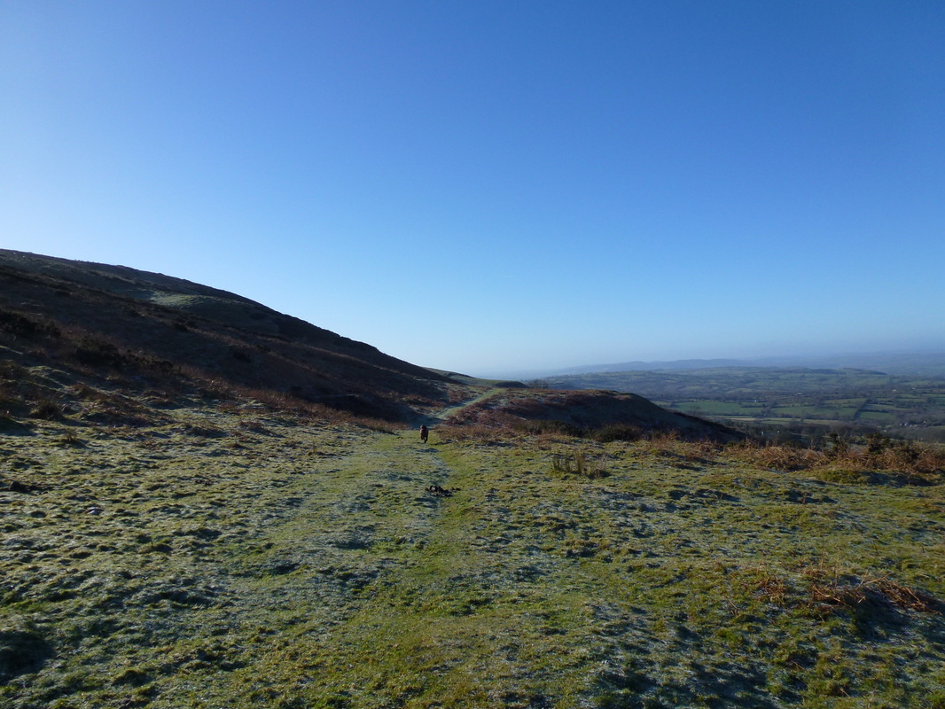
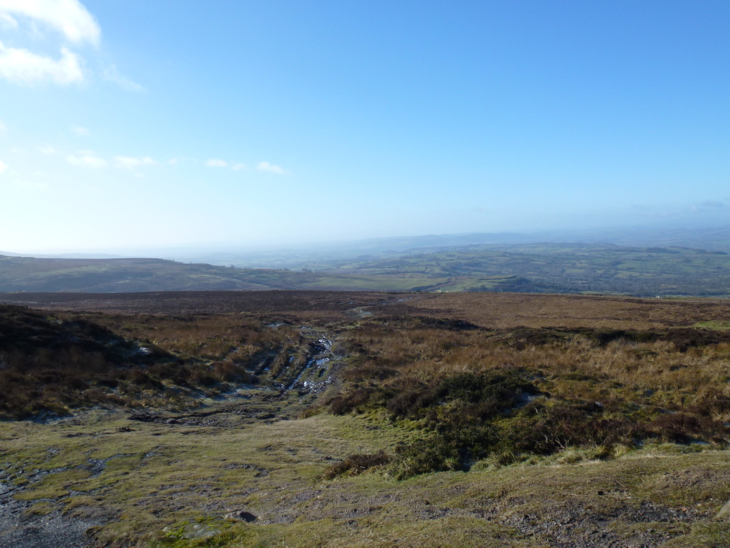
Looking back down our route of ascent
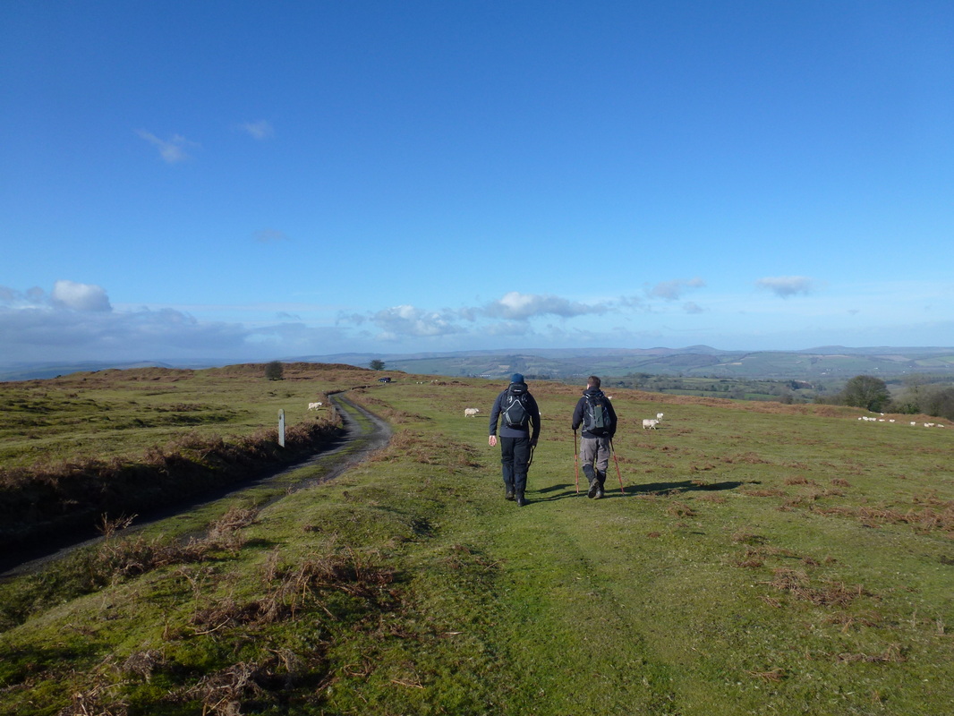
Heading across Clee Liberty on the way to Nordy Bank Fort. The mast on top of Clee Burf can just about be seen in the centre
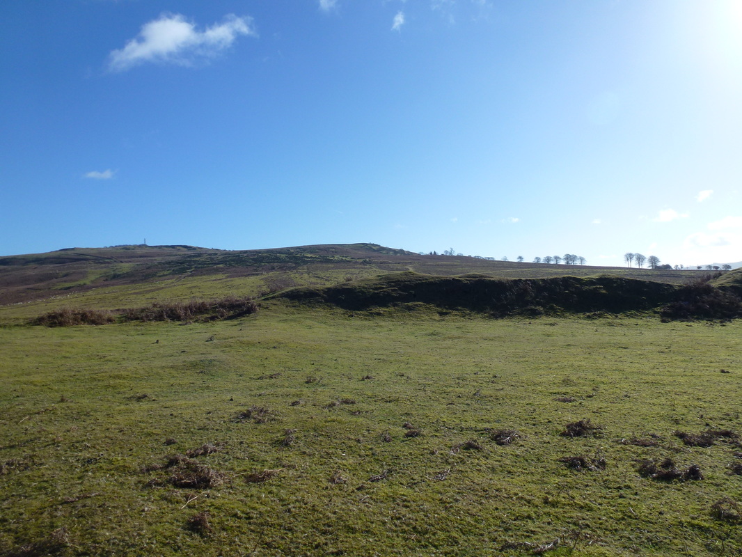
Nordy Bank Fort ahead
At Nordy Bank looking to Clee Burf
The route then headed south on the Jack Mytton Way - Titterstone Clee is through the trees
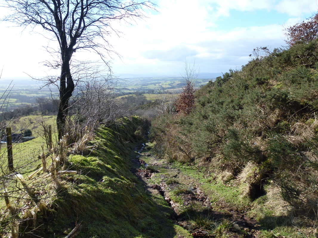
The sunken (and very muddy) lane near Loughton Enclosure
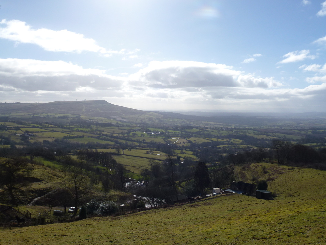
From the top of the sunken lane we had a great view over to Titterstone Clee
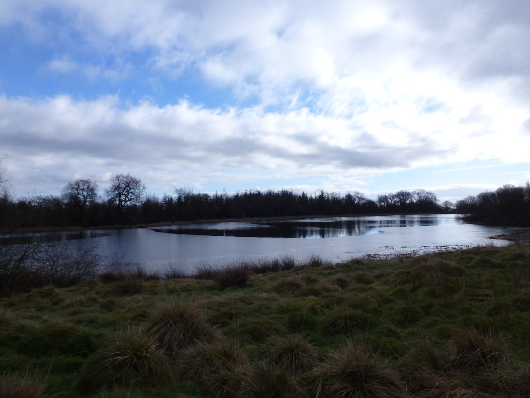
Boyne Water
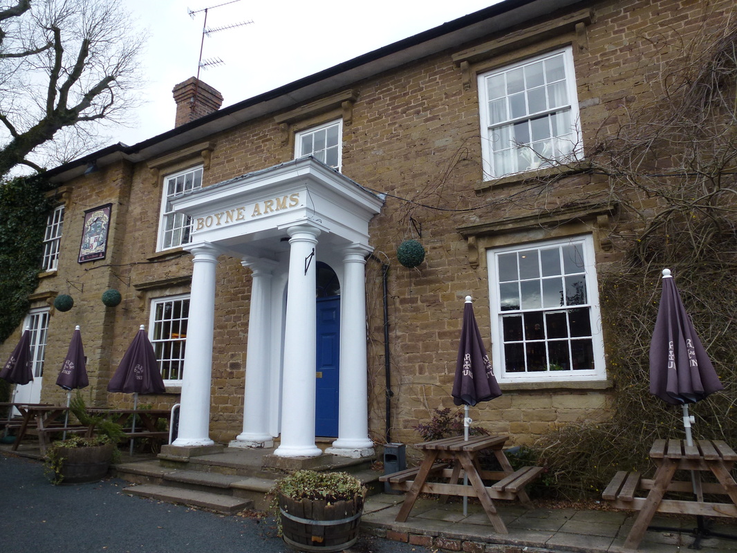
We were just in time for lunch here - a very nice pub with good food
