Wasdale Head to Rosthwaite - Wednesday 27 July 2022
Route
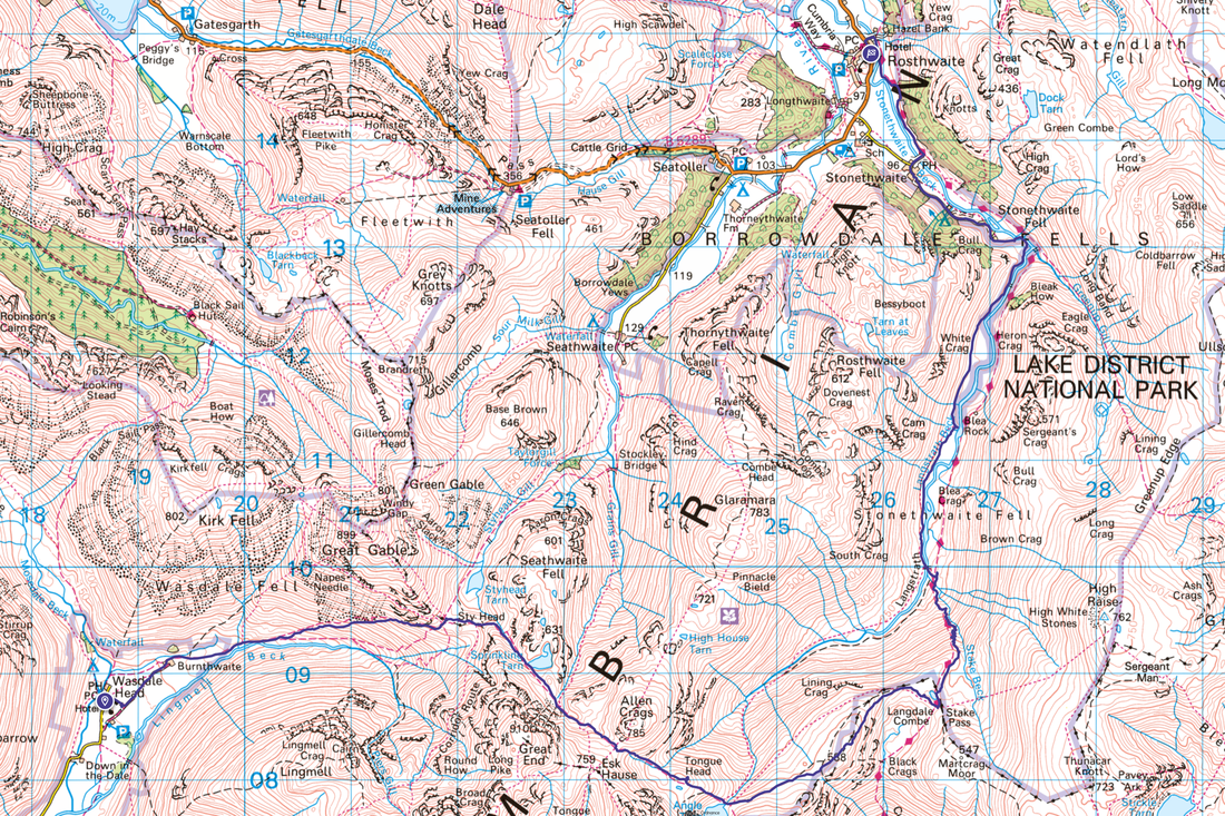
Wasdale Head - Burnthwaite - Sty Head - Sprinkling Tarn - Tongue Head - Stake Pass - Langstrath - Tray Dub - Blackmoss Pot - Stonethwaite - Rosthwaite
Parking
Wasdale Head at the Village Green (free) - Grid Reference NY 18682 08508 and the nearest postcode is CA20 1EX. We finished at The Scafell Hotel (Charge) in Rosthwaite - the Grid Reference is NY 25907 14766 and the nearest postcode is CA12 5XB.
Mileage
12 miles
Terrain
Good mountain paths throughout
Weather
Sunny with light breezes
Time Taken
7hrs 10mins
Total Ascent
2486ft ft (758m)
Maps
OL4 - The English Lakes (North Western Area)
OL6 - The English Lakes (South Western Area)
Walkers
Dave & Fudge with Richard Jennings
|
GPX File
|
| ||
If the above GPX file fails to download or presents itself as an XML file once downloaded then please feel free to contact me and I will send you the GPX file via e-mail.
Route Map
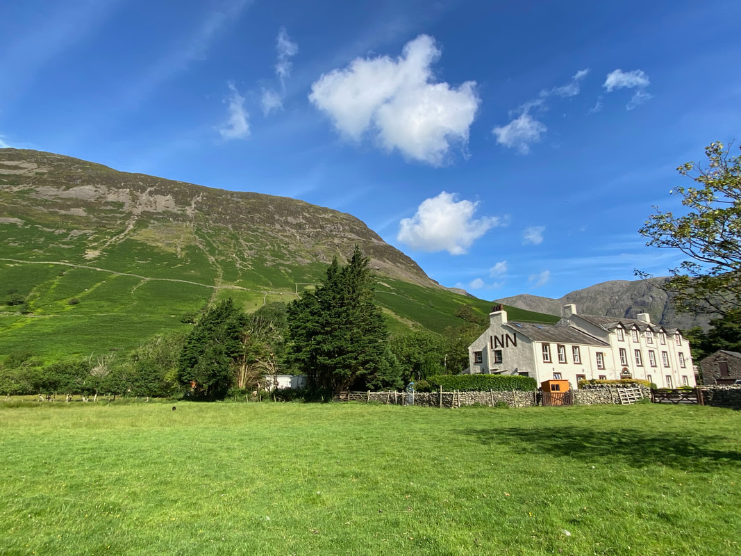
A lovely linear walk today from Wasdale Head starting at the Village Green Car Park near the Inn. Just Fudge and I out however we were joined by Richard who was doing some research for a route he is developing called The Lakeland Way. Richard's wife Jaclyn dropped us off at Wasdale Head in the morning and Angie met me at Rosthwaite following the debrief. The route today follows an ancient packhorse route used by traders to travel between the valleys many, many years ago.
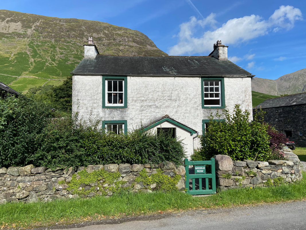
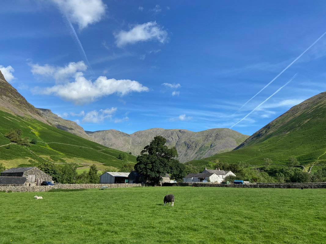
Middle Row Farm, the birthplace of farmer and legendary fell runner Joss Naylor. The house is now a holiday cottage and we stayed here for 2 weeks in 2012.
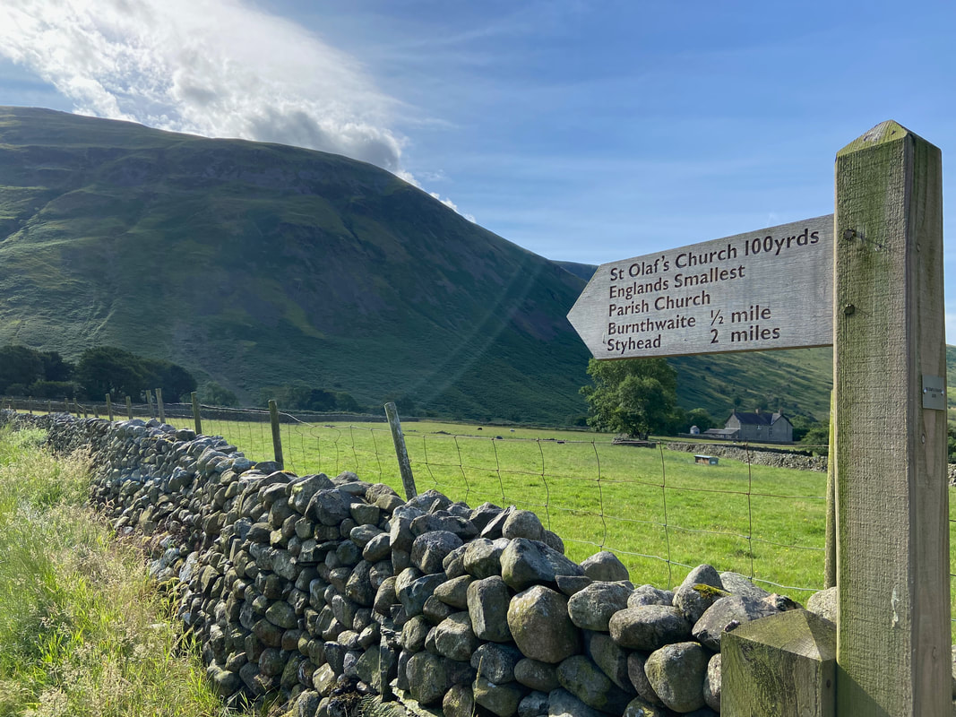
At Middle Row the route heads towards St Olaf's Church
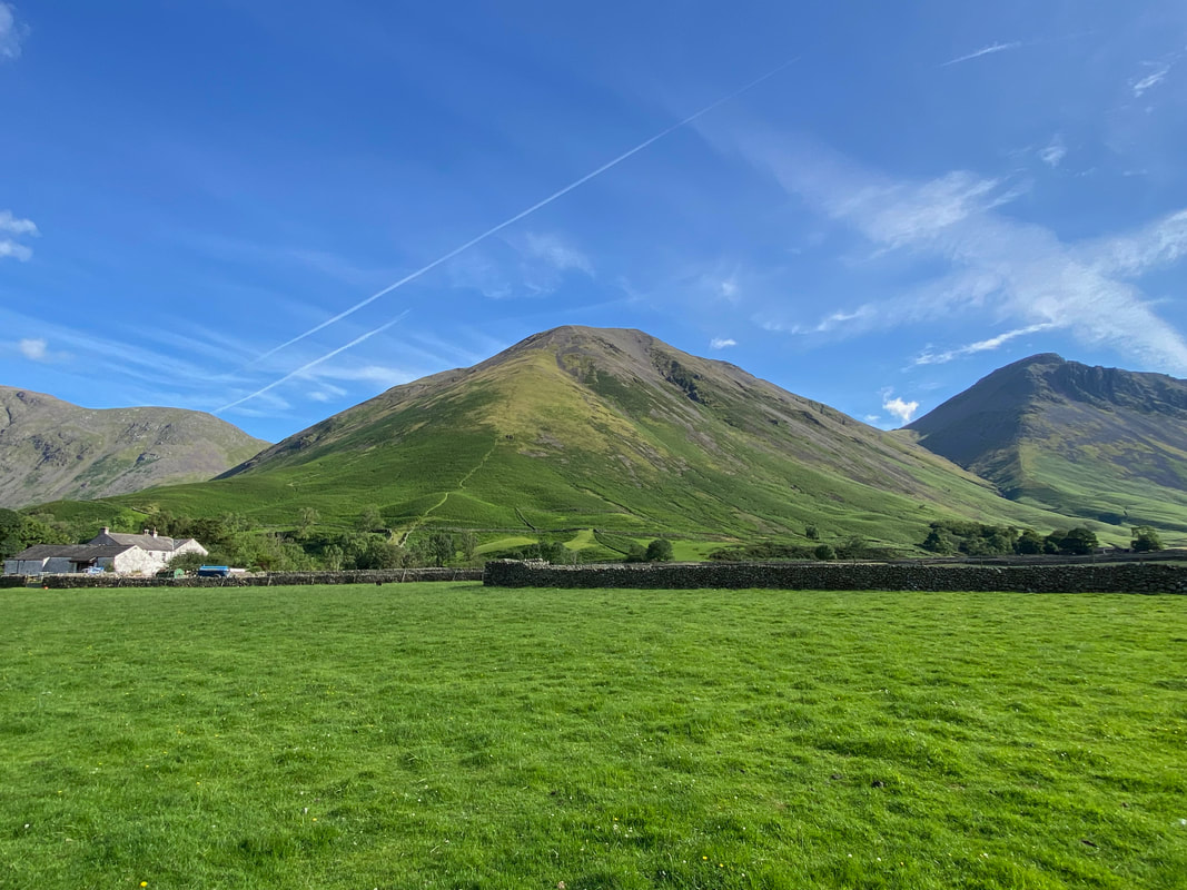
Kirk Fell the hard way - straight up the nose. We have only completed that route once and the walk report can be found here.
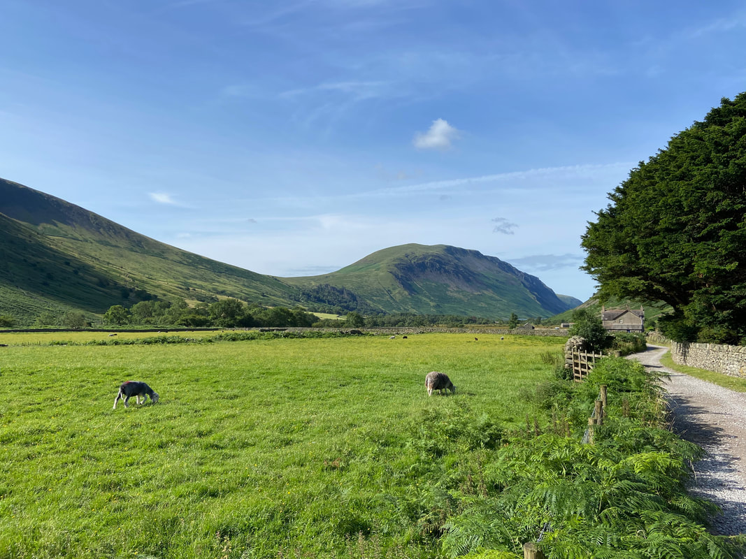
Looking to Row Head and Mosedale with Pillar & Wind Gap beyond
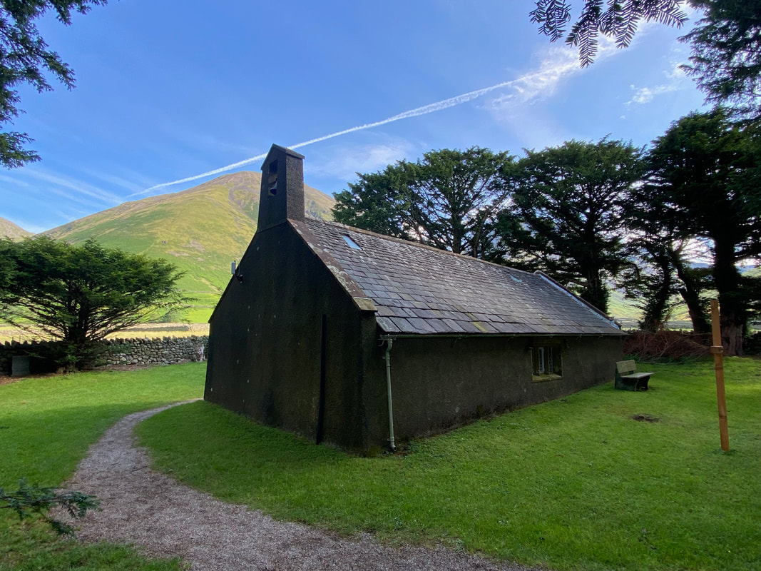
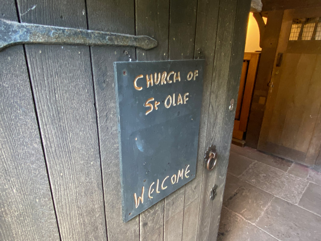
St Olaf's in Wasdale Head which is England's smallest parish church. It sits just 35 people.
The church is always worth a visit and we have wandered inside many, many times. Wasdale Head was originally a Norse settlement, its first settlers being 2nd and 3rd generation Norse explorers who became farmers after landing on the west coast from Ireland and the Isle of Man around 1000 AD, bringing Christianity with them.
St Olaf (995 - 1030) was King of Norway and is widely credited with uniting his country with a widespread adoption of Christianity. Before inheriting the throne he took part in a raid on London in 1014 and helped depose King Canute and restore Ethelred the Unready back to the English throne. However in 1028, Olaf himself was overturned by Canute and was killed at the Battle of Stiklestaad in 1030 as he attempted to regain his throne. He was eventually canonised by Pope Alexander III in 1164.
St Olaf (995 - 1030) was King of Norway and is widely credited with uniting his country with a widespread adoption of Christianity. Before inheriting the throne he took part in a raid on London in 1014 and helped depose King Canute and restore Ethelred the Unready back to the English throne. However in 1028, Olaf himself was overturned by Canute and was killed at the Battle of Stiklestaad in 1030 as he attempted to regain his throne. He was eventually canonised by Pope Alexander III in 1164.
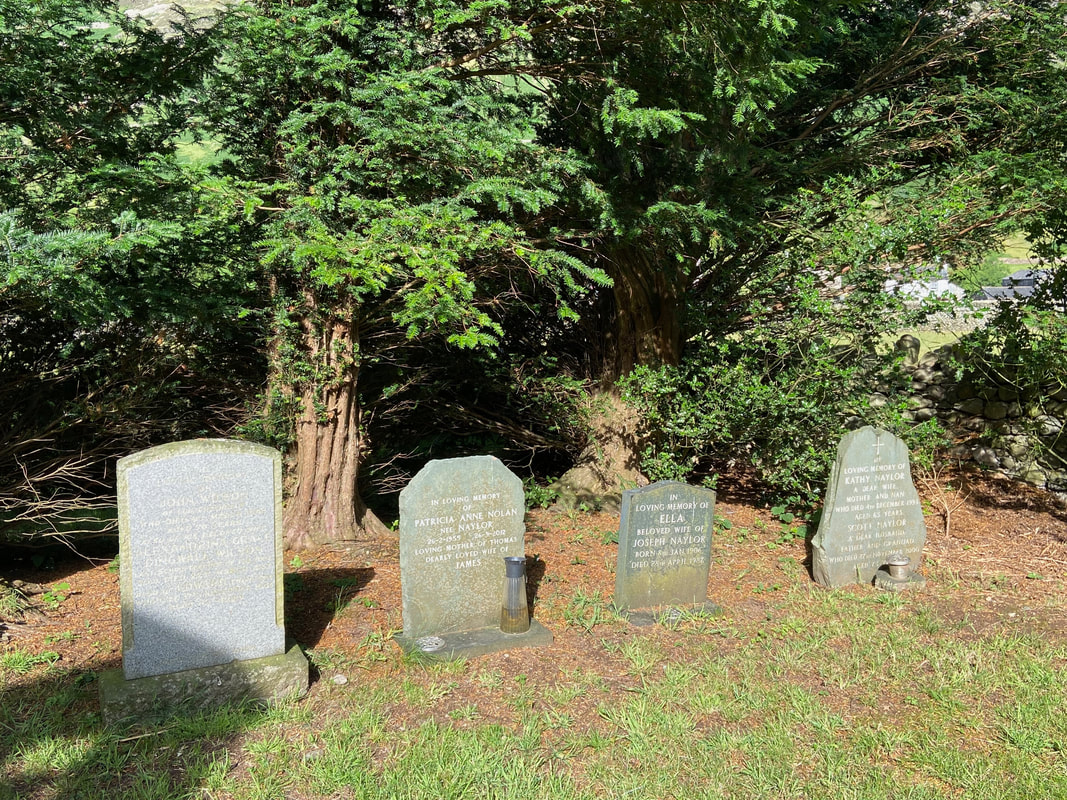
The resting places of Joss Naylor's family who once farmed at Middle Row
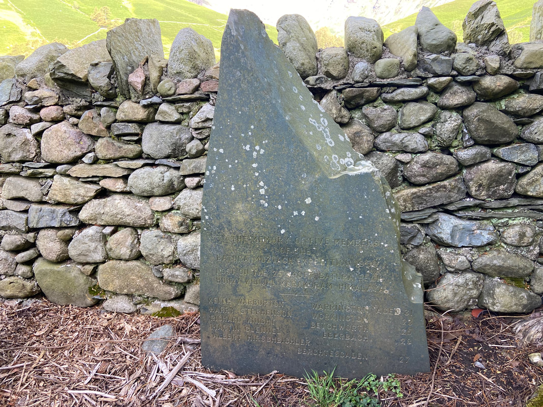
The churchyard is also the home of the memorial to the 1959 expedition to Batura Muztagh
Batura I is the highest mountain in the Batura Muztagh, the westernmost sub-range of the Karakoram in Himalaya. The Hunza Valley forms the eastern boundary of the range which extends west as far as the Hindu Kush and Hindu Raj. The range is relatively accessible as the Karakoram Highway runs up the Hunza Valley. Some of the highest peaks in the Karakoram outside of the Baltoro region are found here and the 56km long Batura Glacier is the fourth longest in the Karakoram.
An Anglo-German expedition was the first to attempt Batura I from the Batura Valley in 1959, when five climbers died high on the northern slopes of the mountain. All subsequent attempts were from the south. The memorial above remembers the 5 climbers, one of which was a local man called Harry Stephenson from Workington.
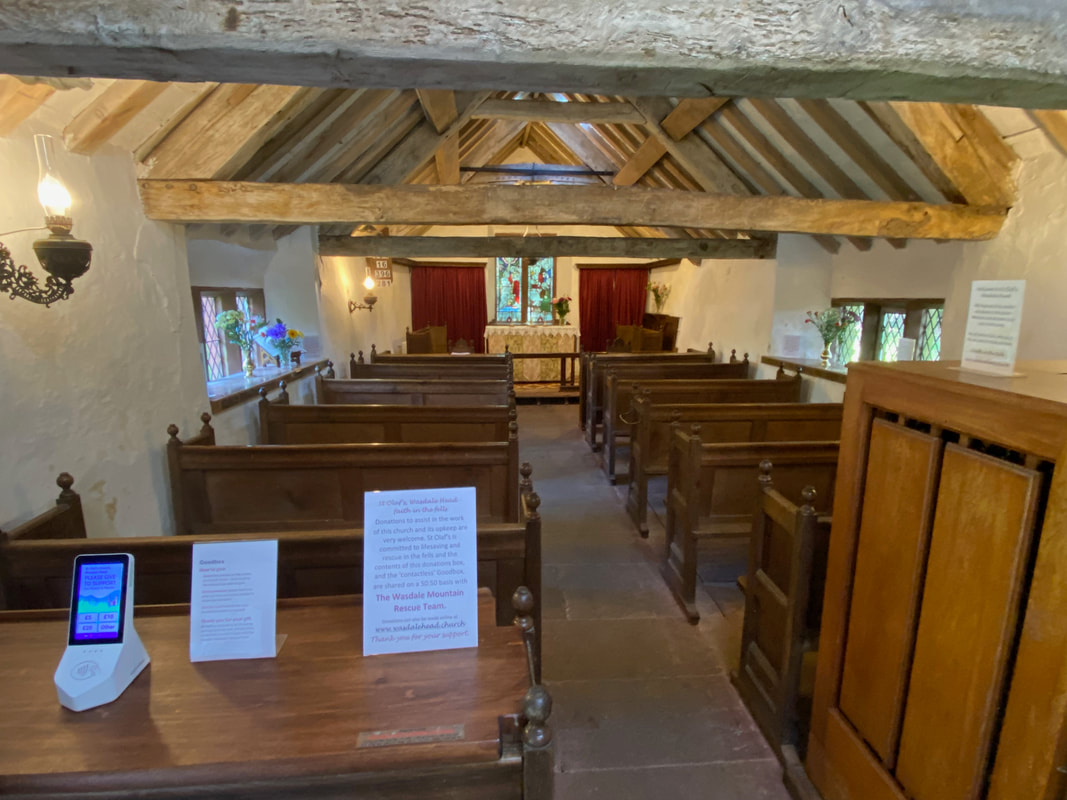
The interior of St Olaf's Church
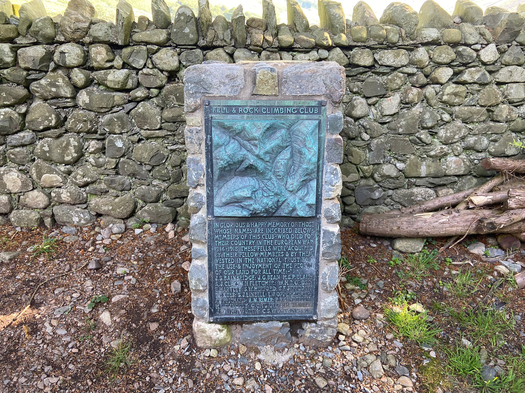
The churchyard also contains a memorial to those members of the Fell & Rock Climbing Club who made the ultimate sacrifice during the First World War. There is a similar memorial up on the summit of Great Gable.
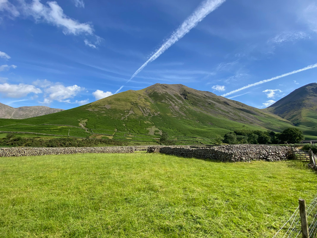
Looking towards Burnthwaite Farm with Great Gable beyond
Illgill Head from near St Olaf's Church
Looking up Mosedale to Yewbarrow, Red Pike, Black Crag, Wind Gap & Pillar with the slope of Kirk Fell to the right
Yewbarrow towering above Wasdale Head
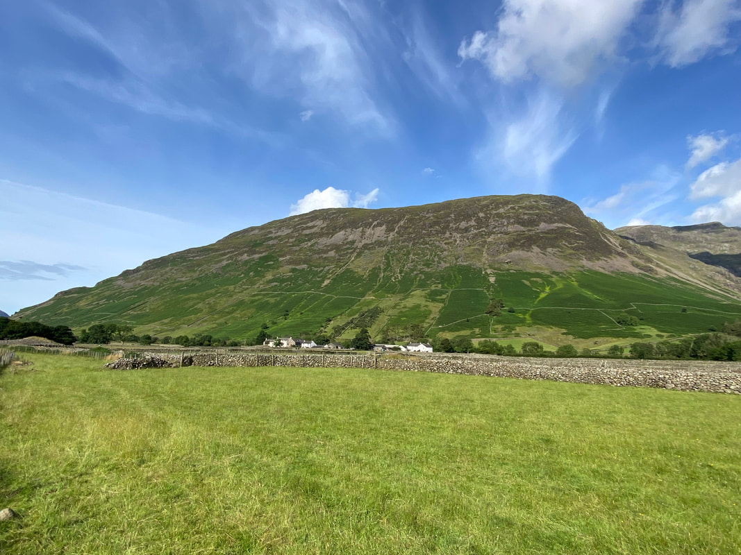
Kirk Fell
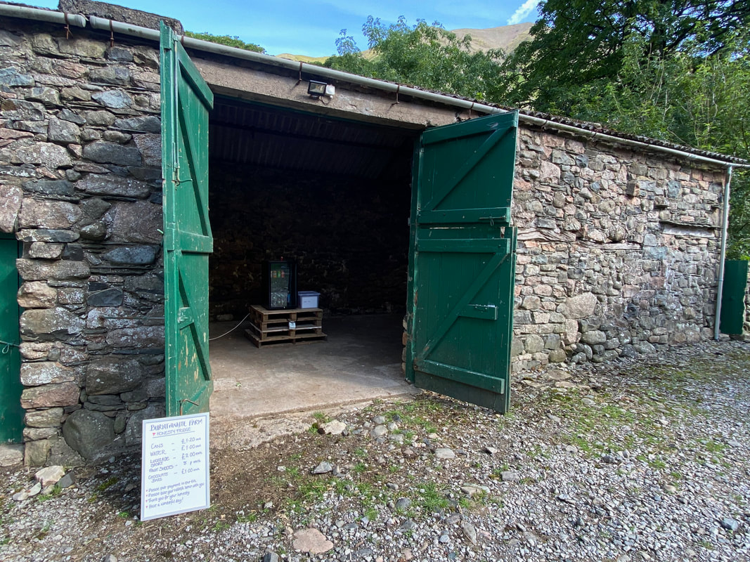
The honesty box at Burnthwaite Farm. The box has now been moved to a purpose built shed just around the corner. For those of you wishing to enjoy proper Lakeland hospitality then I can highly recommend staying with Georgina & Andrew at Burnthwaite Farm. They have a holiday cottage and B&B accommodation and their prices are very competitive. A link to their website is here
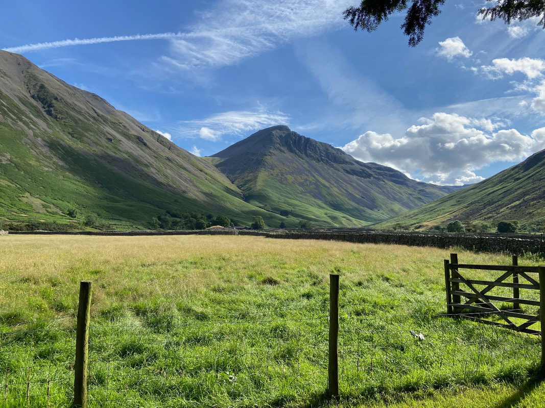
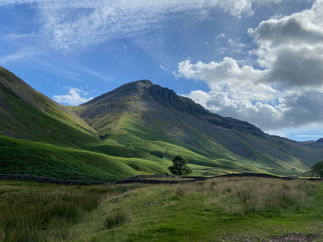
Great Gable looking magnificent in the early morning sunshine. Left of centre, the Gavel Neese path can be seen sloping away to the col at Beck Head with the craggy rocks of Great Napes to the right just below the summit. Our path to Sty Head can just about be seen heading up the flank of Great Gable to the right.
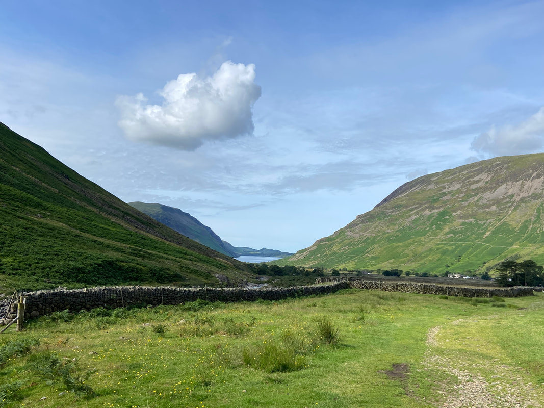
Looking back to Wastwater & Wasdale Head - the fell to the left is Illgill Head with Yewbarrow to the right.
Fudge has a bit of a scratch as we head to the left as the path splits at Grid Ref NY 20394 09344. The left hand path climbs above Lingmell Beck & Spouthead Gill whilst the right hand path heads alongside them. Both paths can be used to reach Sty Head with the lower path crossing Spouthead Gill via a ford half a mile further up the valley at Grid Ref NY 21249 09167.
Looking to Sty Head with Great End dominating the view
Across the valley Lingmell's imposing northern face towers above with Scafell Pike to the left
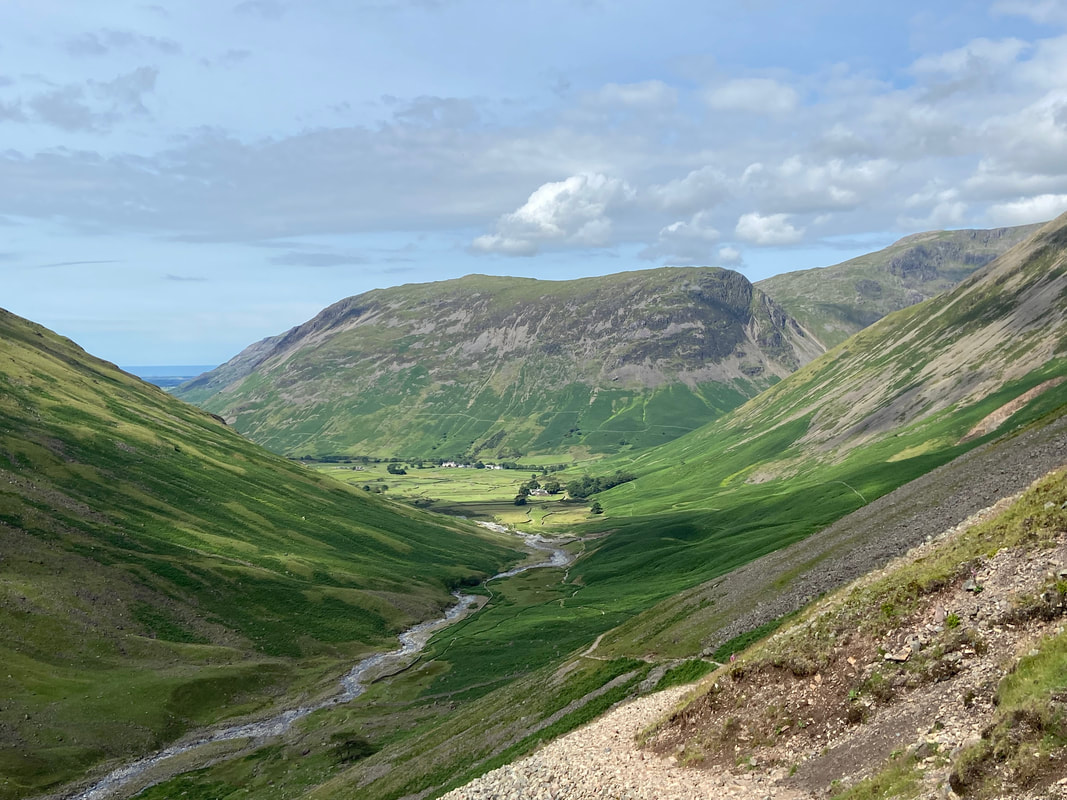
Another view back to Wasdale Head from the upper Sty Head path with the impressive bulk of Yewbarrow beyond
Kern Knotts on Great Gable
Looking back to Great Hell Gate on Great Gable
The huge cleft of Piers Gill now in full view. Middleboot Knotts is to the left with Lingmell Col left of centre and Lingmell to the right.
Looking across to the Corridor Route and Great End
Reaching Sty Head with Seathwaite Fell beyond. The body of water on the left is Styhead Tarn.
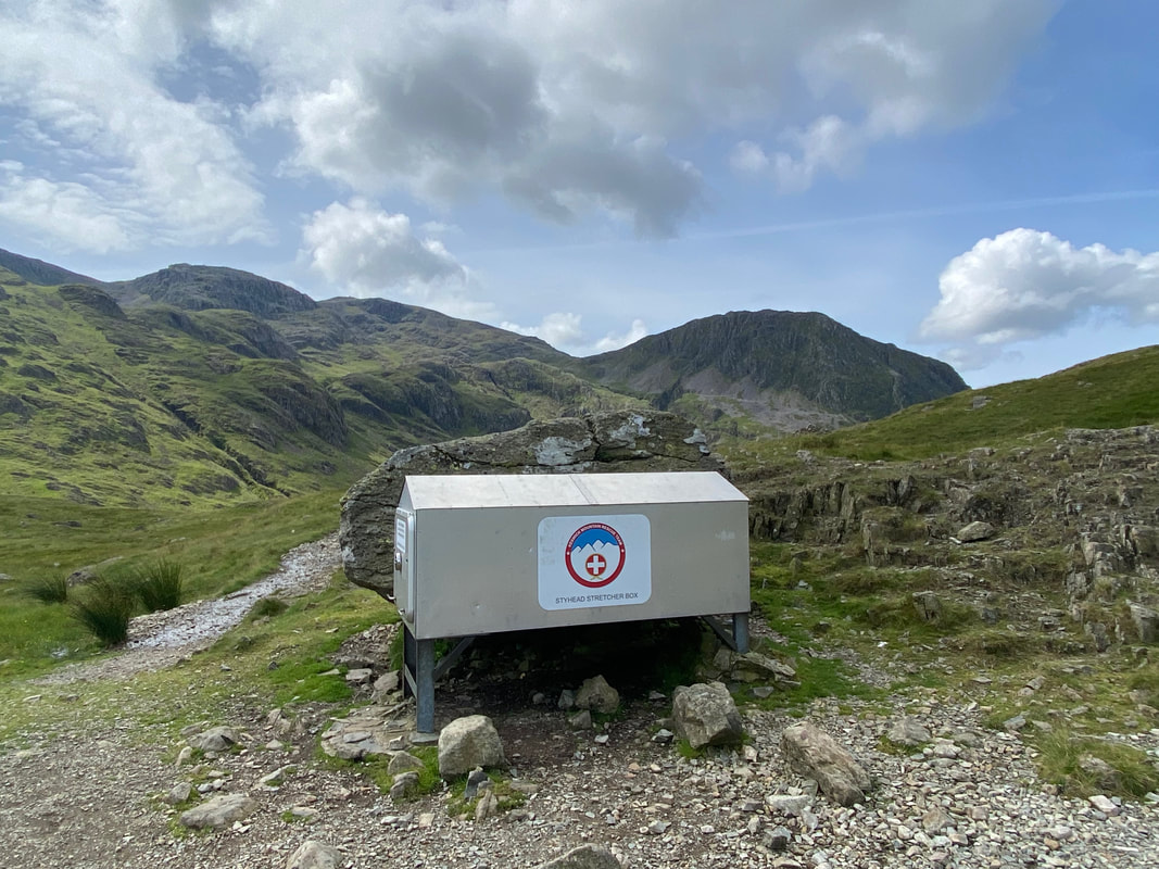
The Mountain Rescue Stretcher Box at Sty Head
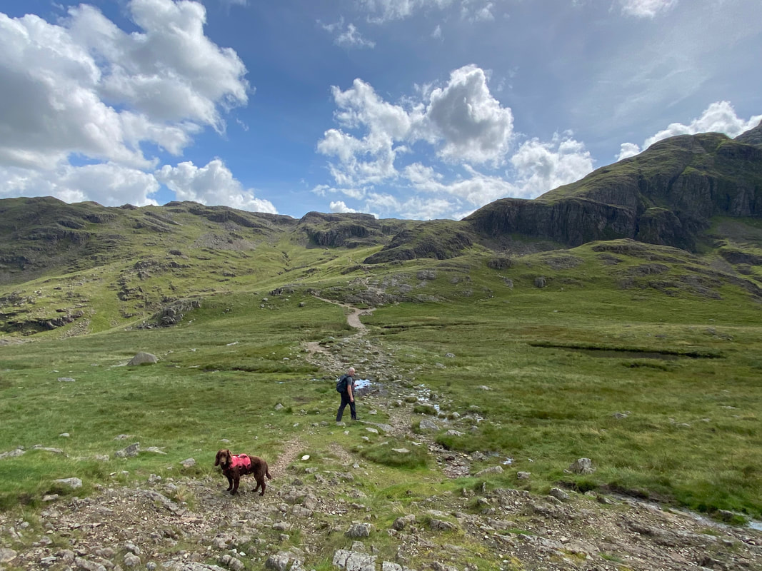
We were now heading on the Sprinkling Tarn path from Sty Head towards Esk Hause
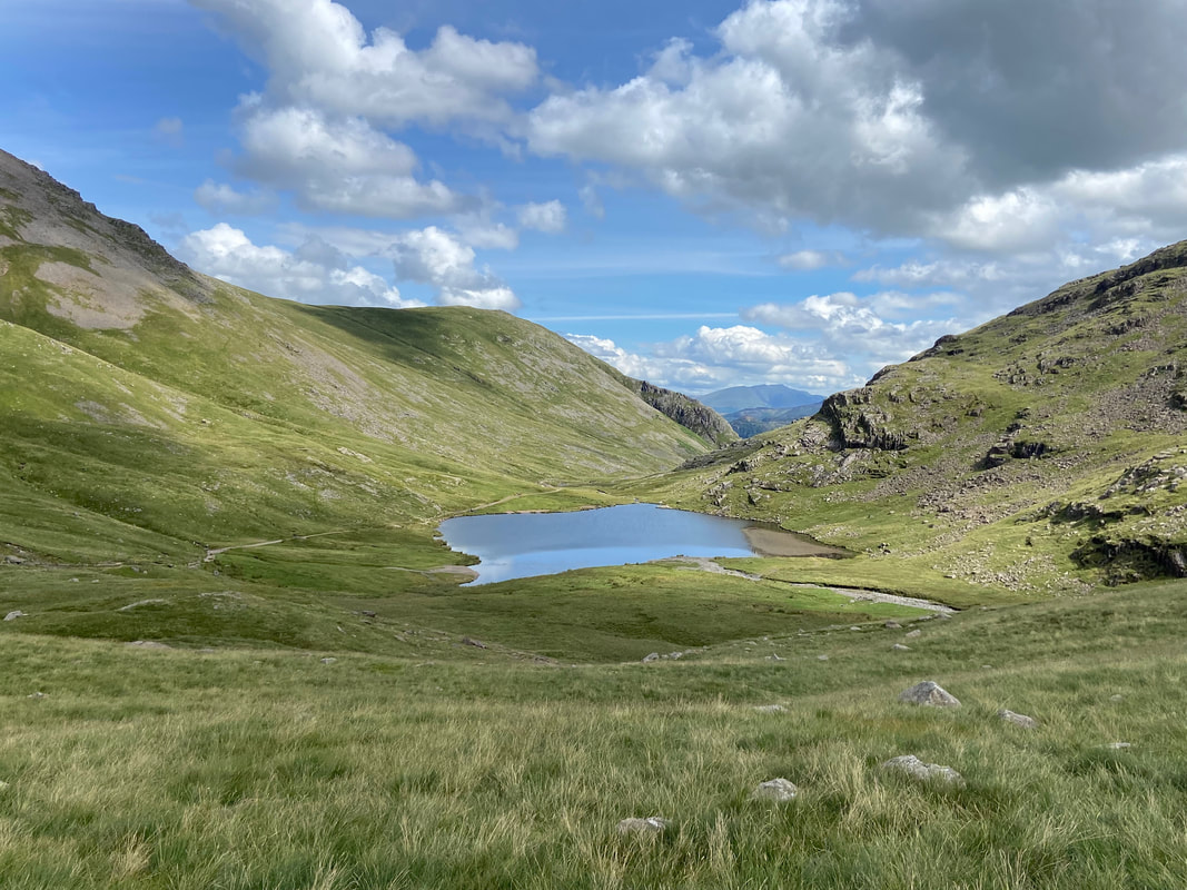
Styhead Tarn with the path heading back to Seathwaite via Stockley Bridge to the left
The furthest cairn ahead marks the beginning (or end) of the Corridor Route to Lingmell Col and on to Scafell Pike. The Corridor Route path can be seen leaving to the right however we were heading straight on towards Sprinkling Tarn.
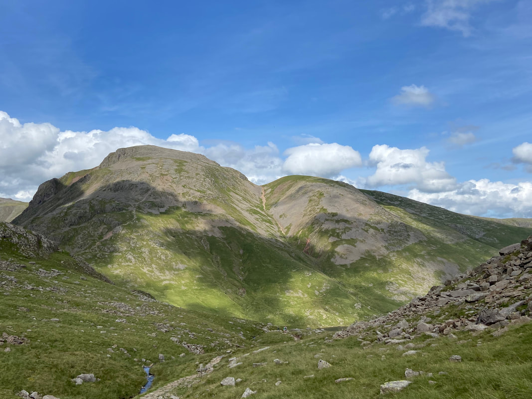
Great Gable, Windy Gap & Green Gable with the stony scree descent of Aaron Slack in the centre
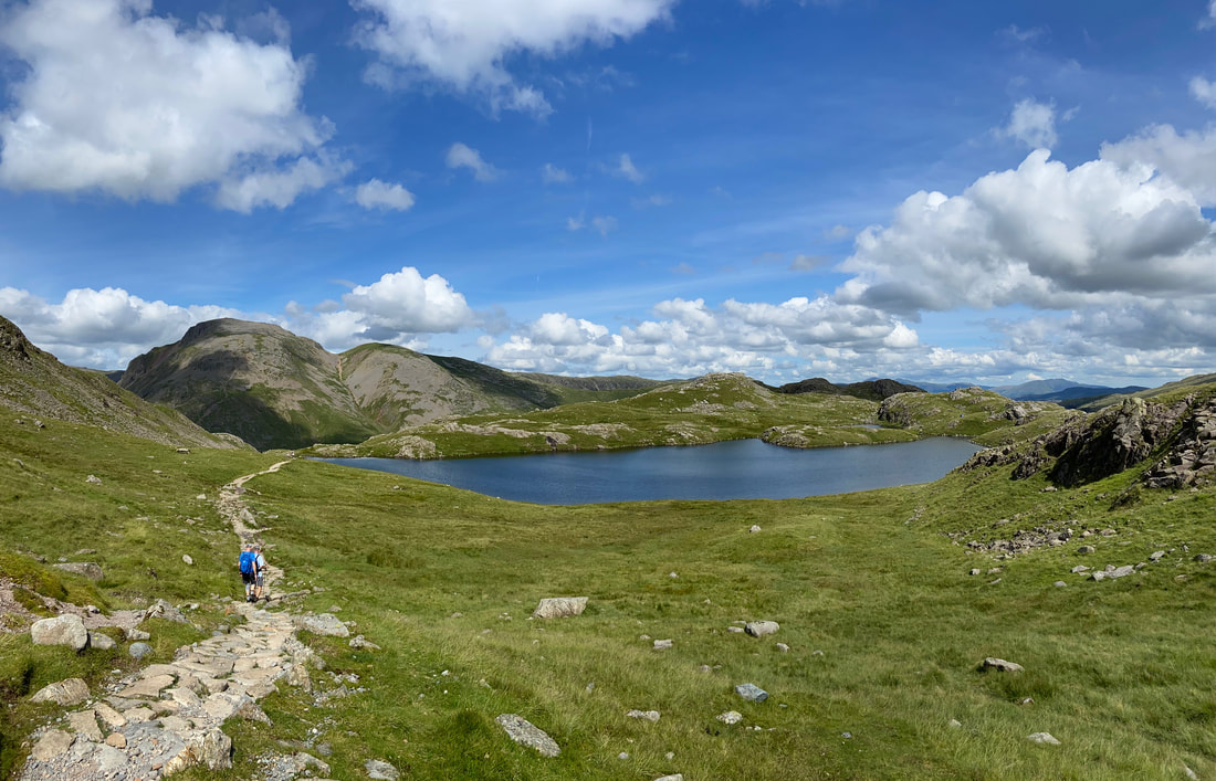
Looking to Great Gable & Sprinkling Tarn
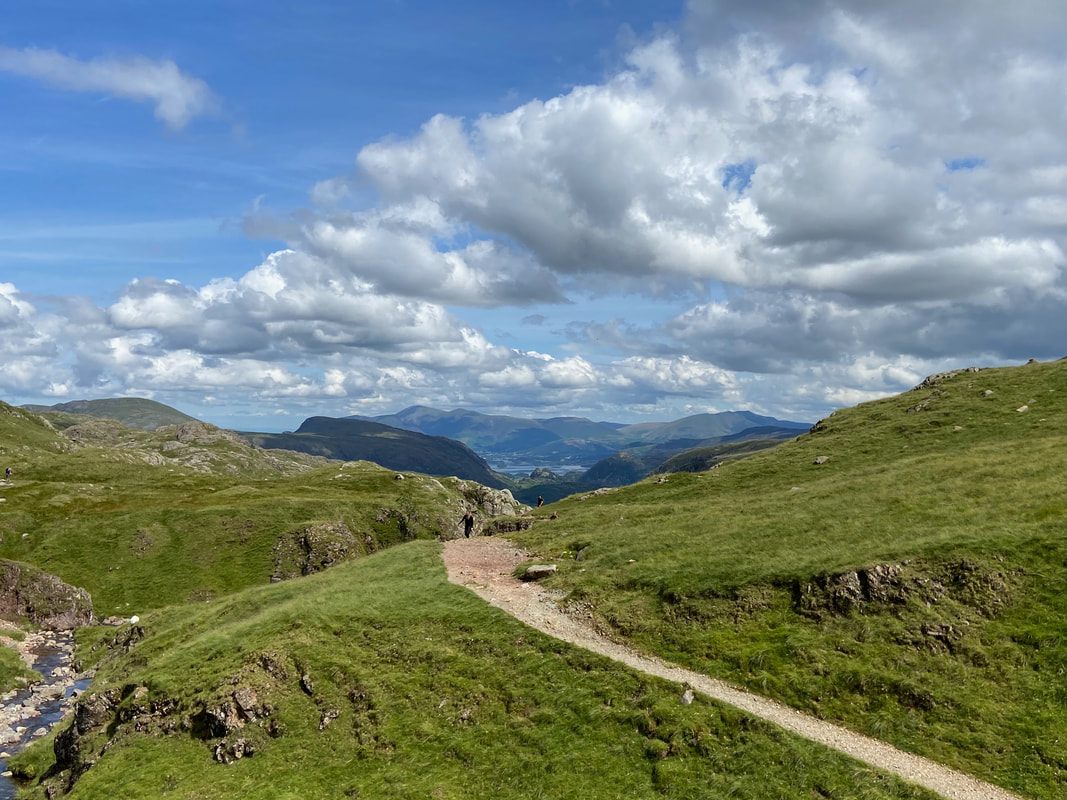
Skiddaw, Blencathra & Derwentwater now in view as we approach the col below Esk Hause
Allen Crags from below Esk Hause
Bowfell & Esk Pike from below Esk Hause
The cross shelter that sits below Esk Hause
From the cairn below Esk Hause we would now head towards Langdale. Rossett Pike is right of centre with the Langdale Pikes to the left
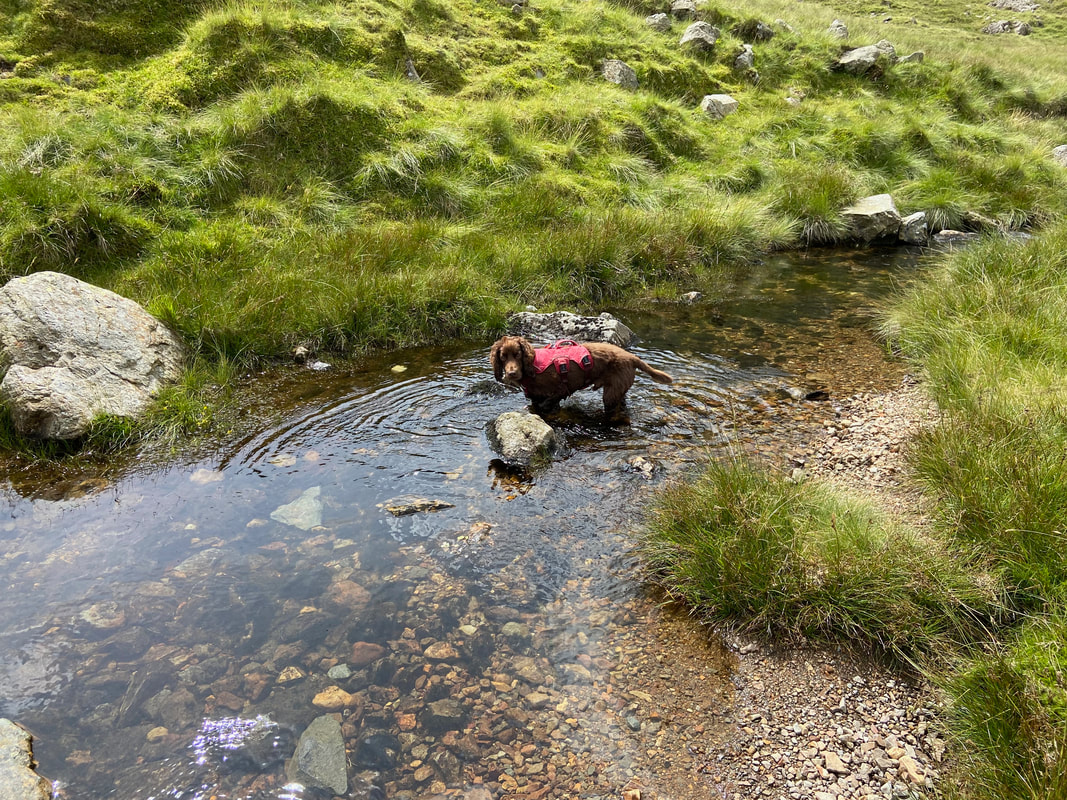
Cool those paws off there's a good lad
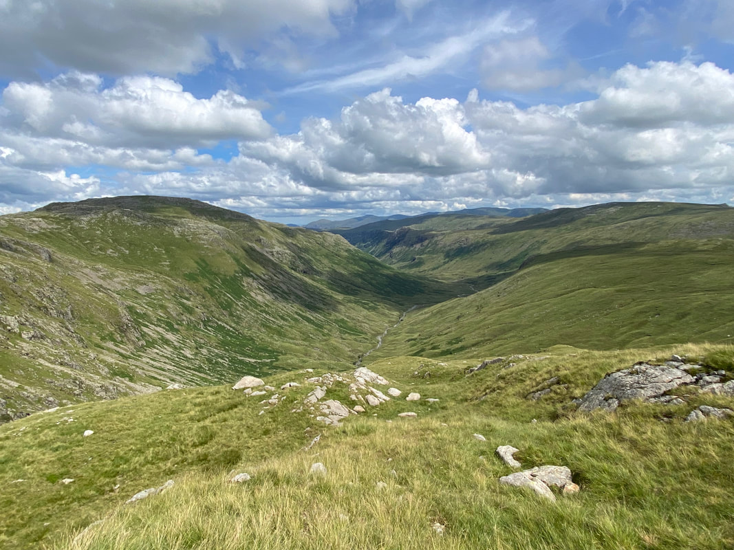
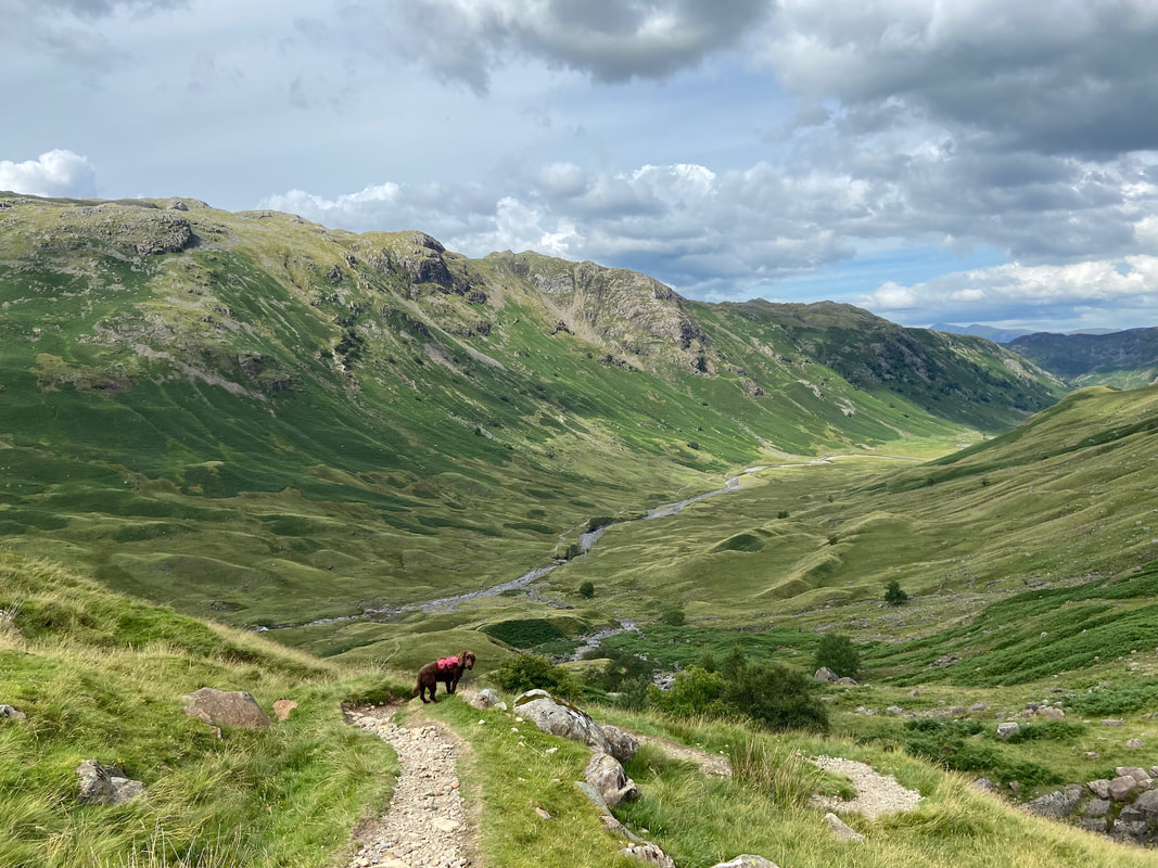
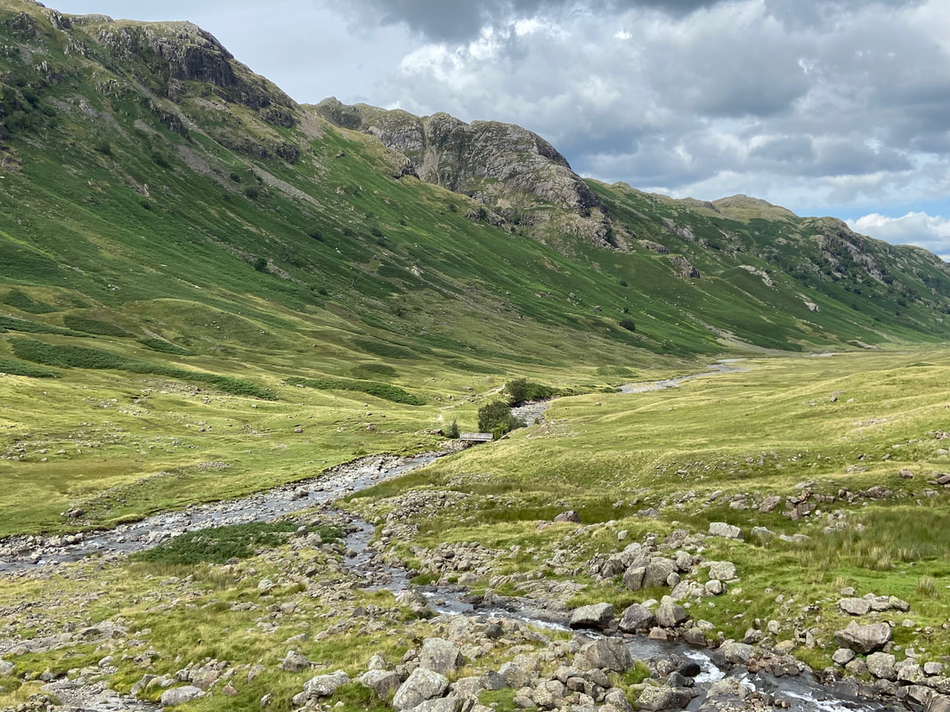
The beautiful valley of Langstrath with Glaramara to the left
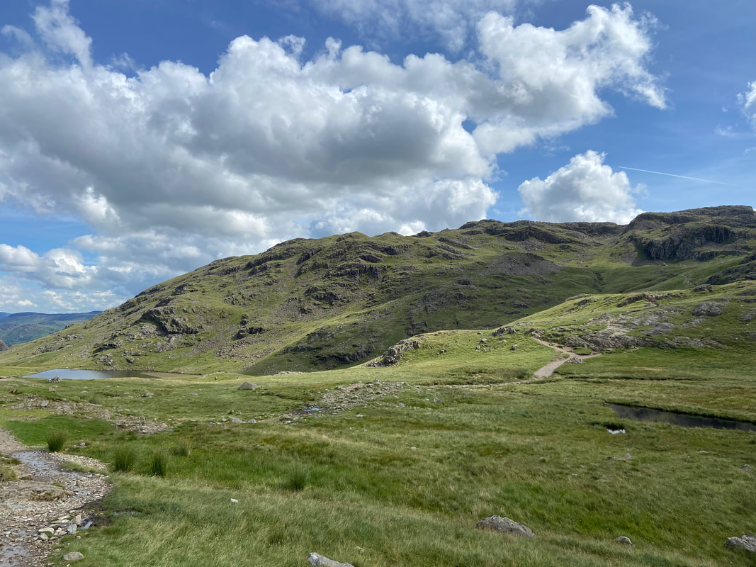
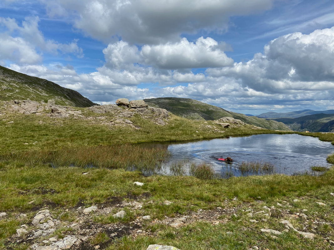
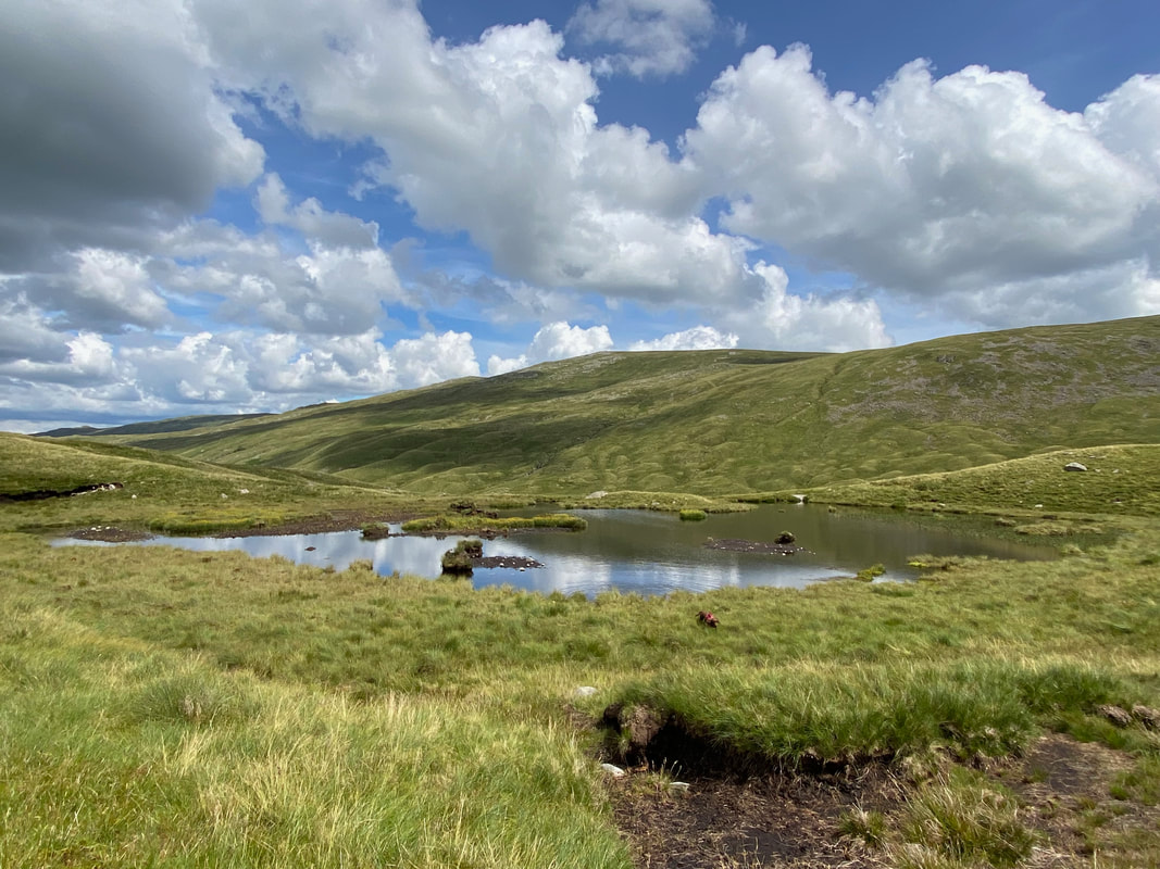
The small tarn at Tongue Head - an ideal doggy swimming pool
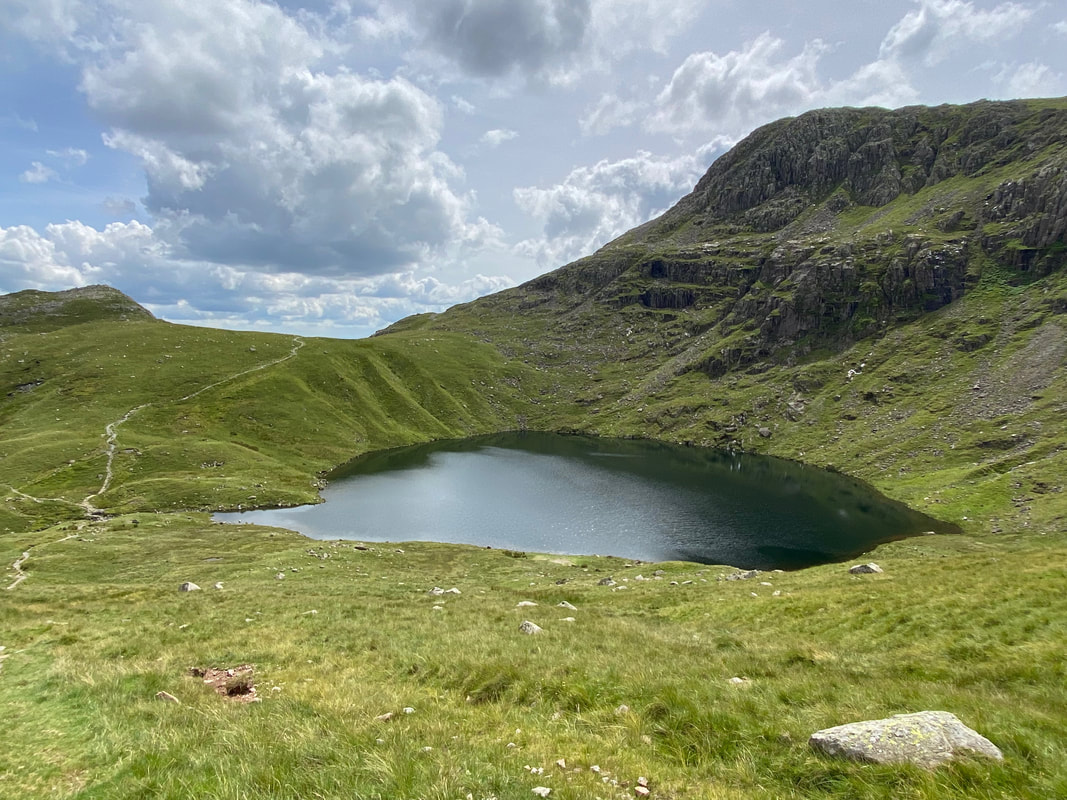
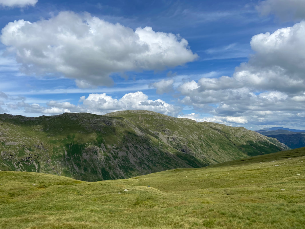
Rossett Pike to the left with Angle Tarn ahead and Hanging Knotts over to the right
Glaramara across Langstrath
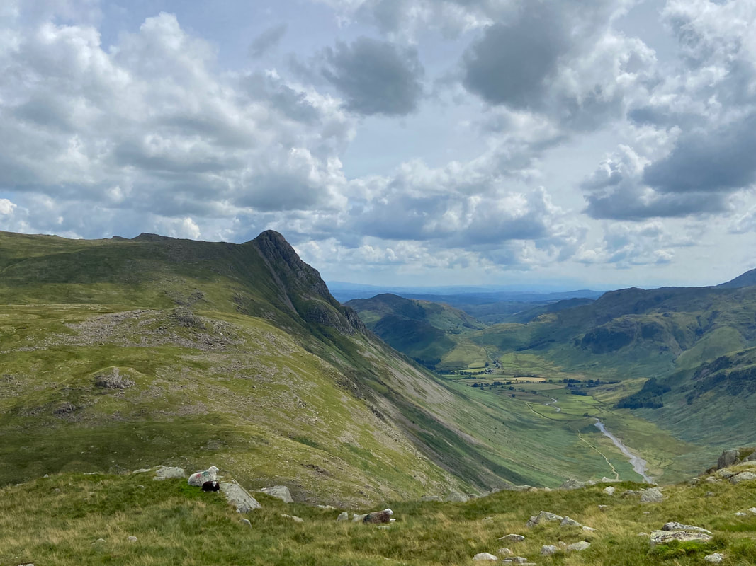
Looking down Mickleden towards Langdale with Pike O'Stickle to the left
More swimming for Fudge as we pass the tarn at the top of the Stake Pass
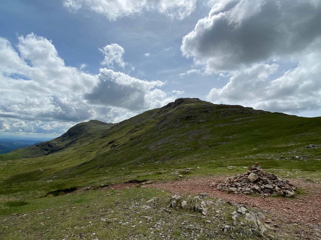
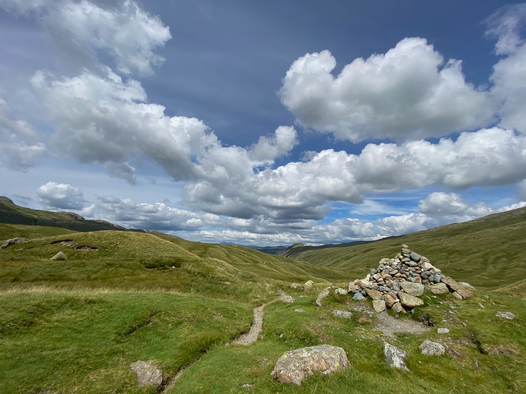
The cairn which marks the top of the Stake Pass - we were now on the route of The Cumbria Way
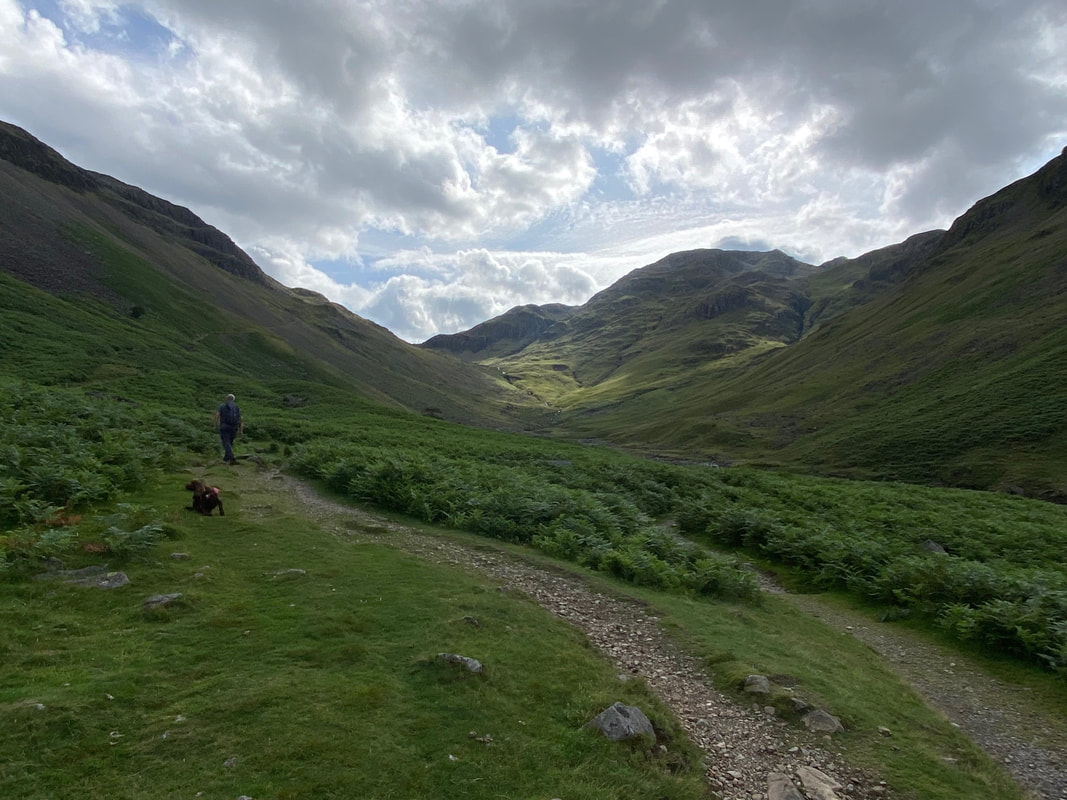
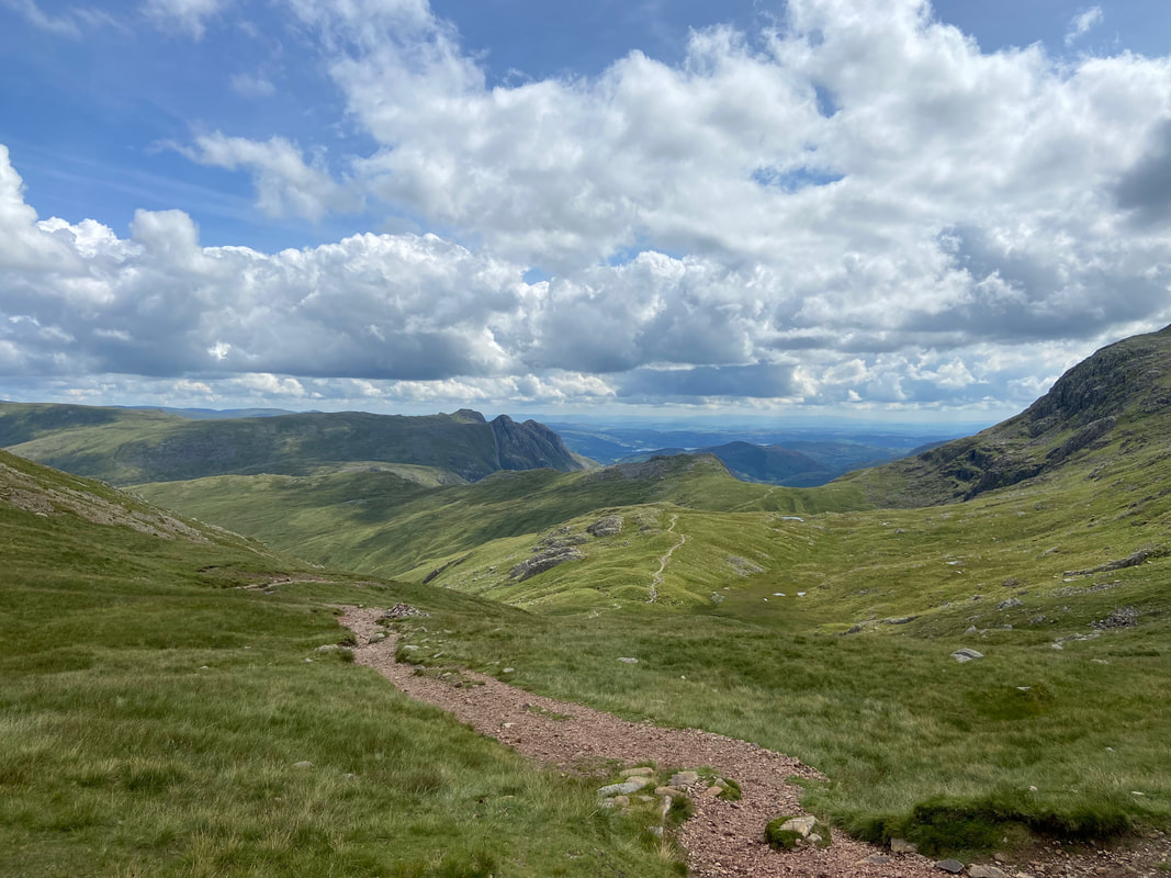
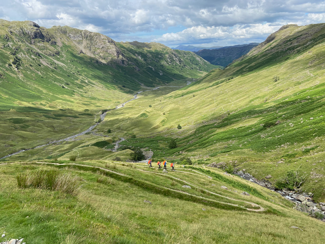
The descent into Langstrath is via a zig zag path alongside Stake Beck leading to Tray Dub & Langstrath Beck
Fudge mocks our progress as we continue our descent into Langstrath - Glaramara is above us to the left
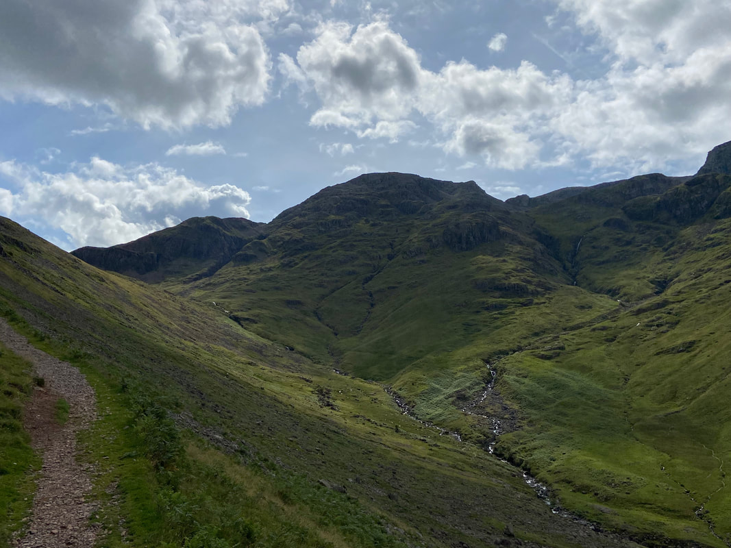
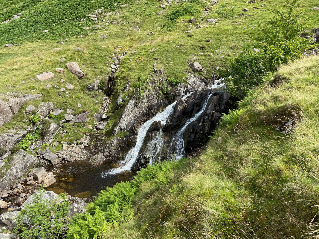
The descent is accompanied by the many cascades of Stake Beck
The bridge over Tray Dub is now in sight as we reach the valley floor
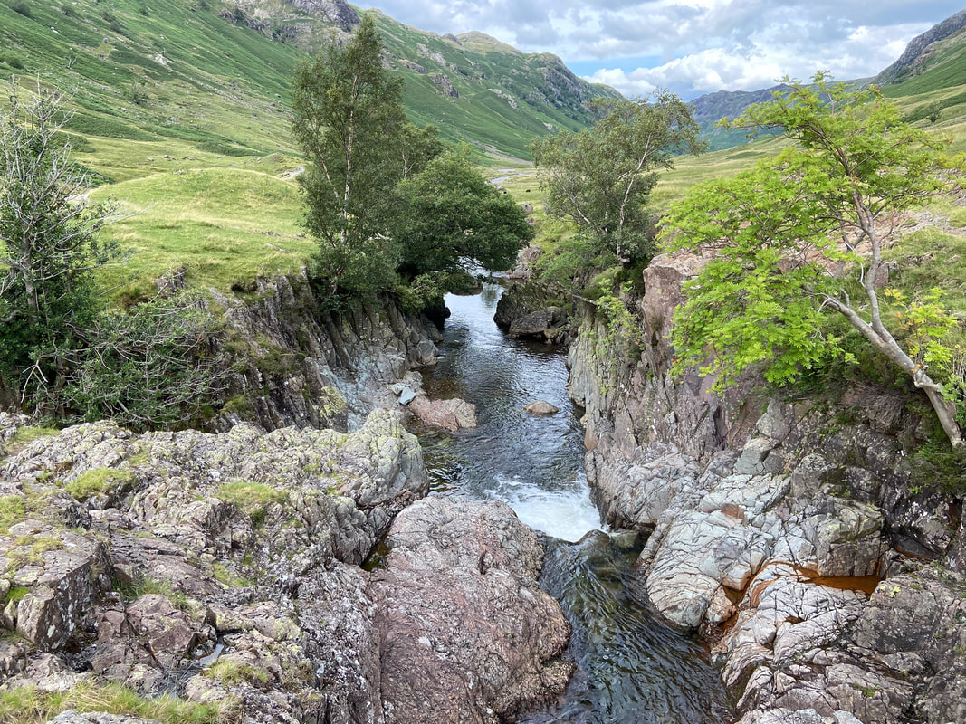
Looking into Tray Dub from the footbridge
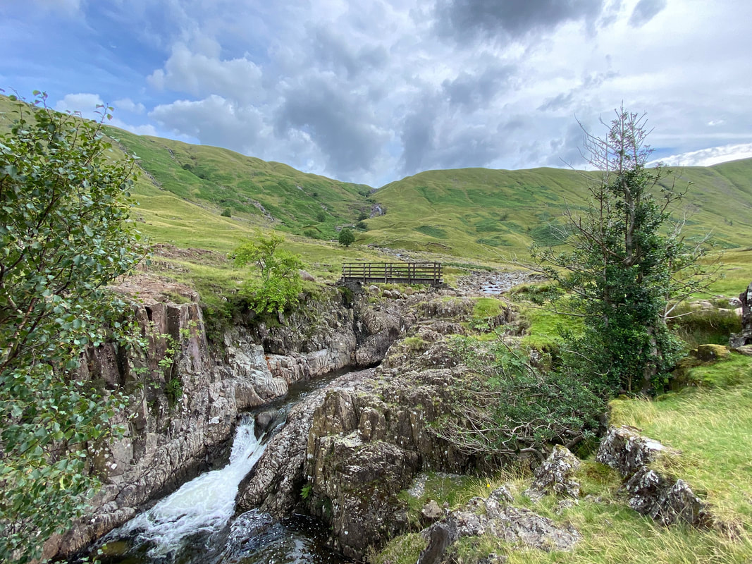
Looking back to the footbridge over Tray Dub
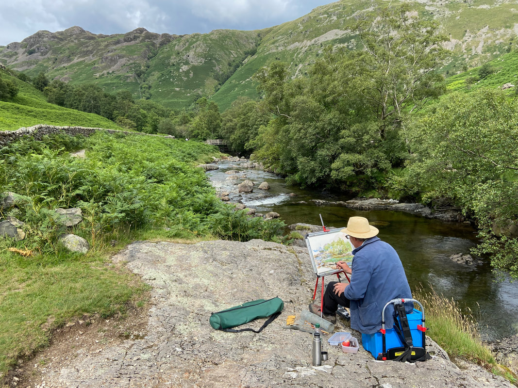
Just before arriving in Stonethwaite we came upon a chap painting in watercolours at the side of Langstrath Beck. He broke off from his painting to have a chat with Richard and I and we discovered he was Ben Haslam, an artist from Hexham. Examples of Ben's work can be found on his Art Gallery website page here
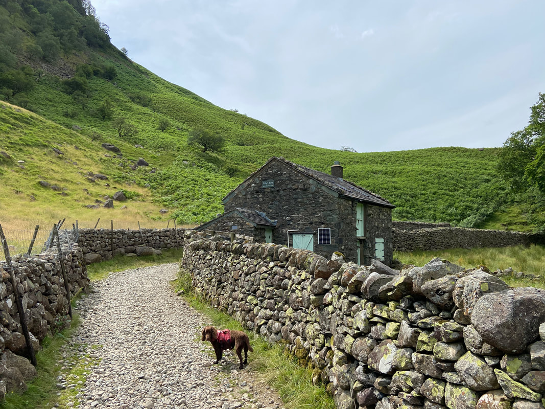
Passing Tilly's Barn as we near Stonethwaite - the property is now a holiday let
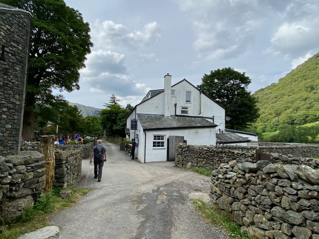
Passing the Langstrath Country Inn as we head through Stonethwaite
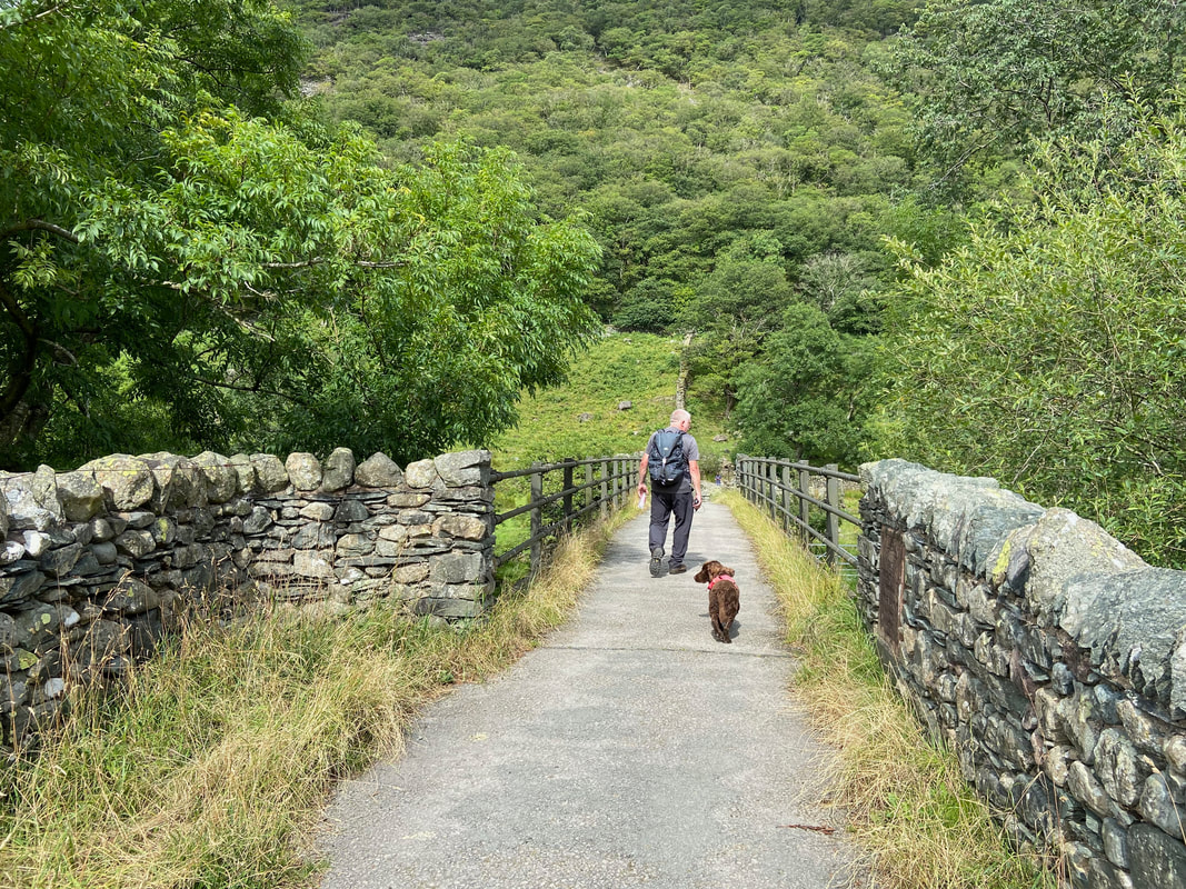
Crossing Stonethwaite Bridge.........
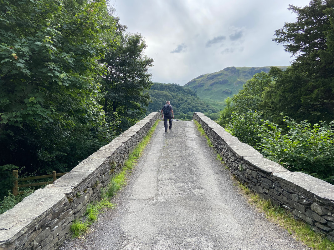
........ and finally Rosthwaite Bridge
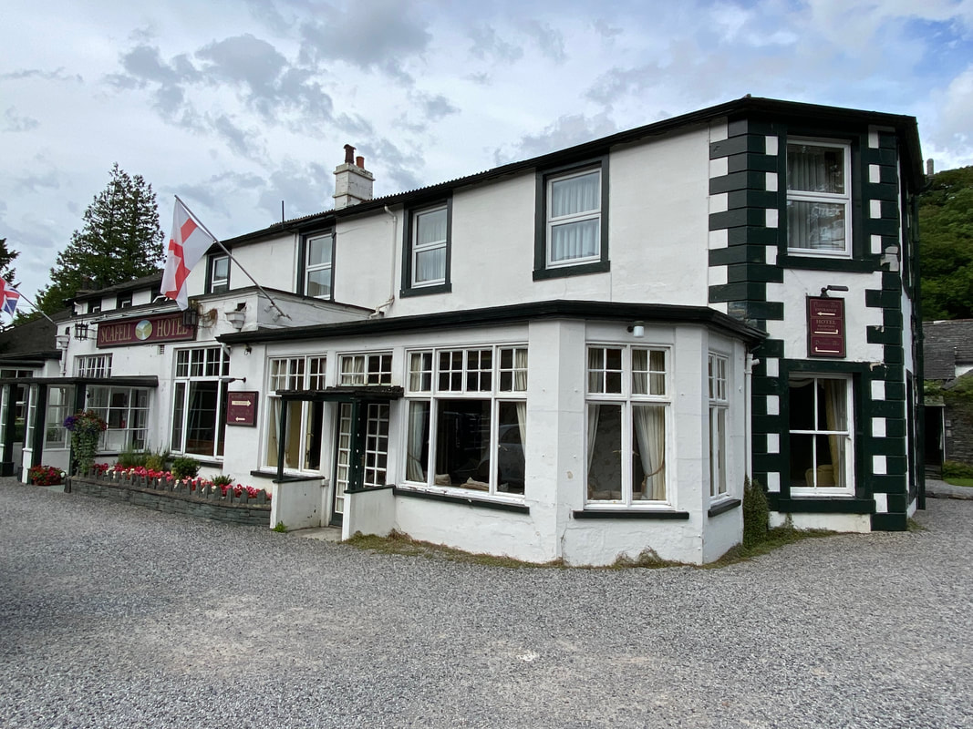
Journey's End at The Scafell Hotel in Rosthwaite - after a lovely walk it was now time for a beer
