Bowscale Fell & Bannerdale Crags - Friday 20 September 2013
Route
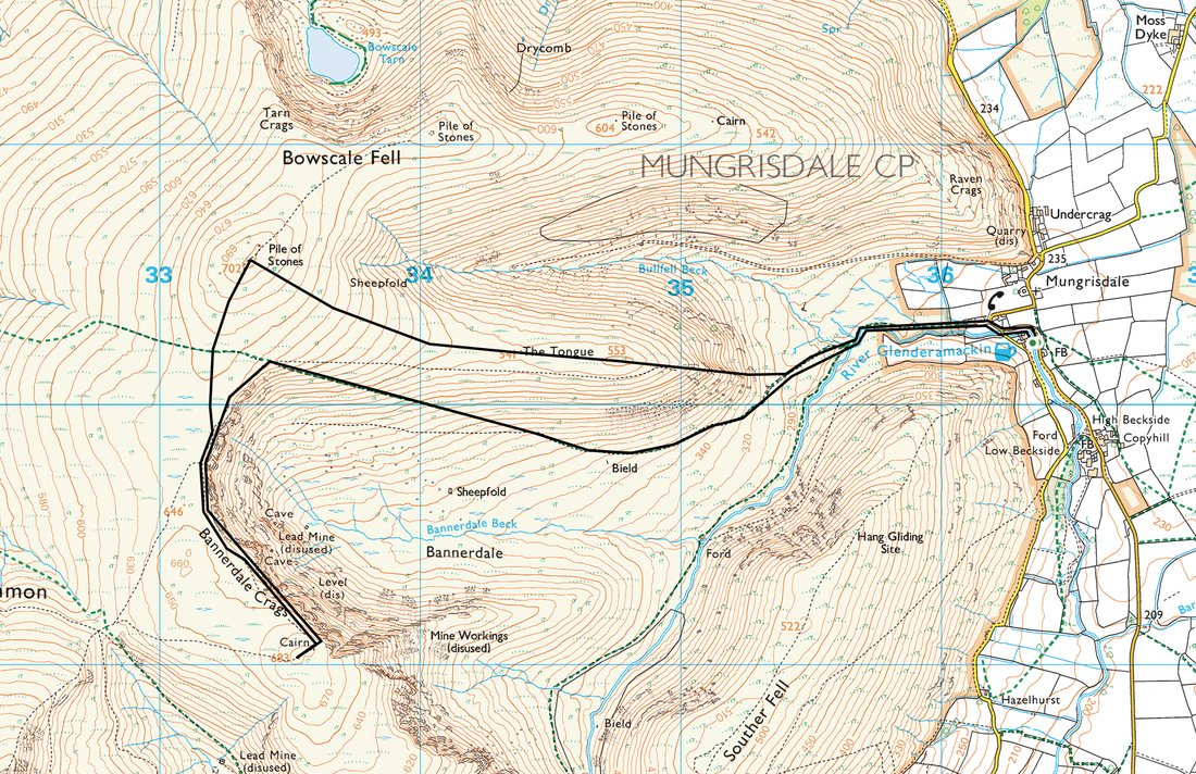
Mungrisdale - The Tongue - Bowscale Fell - Bannerdale Crags - Mungrisdale
Parking
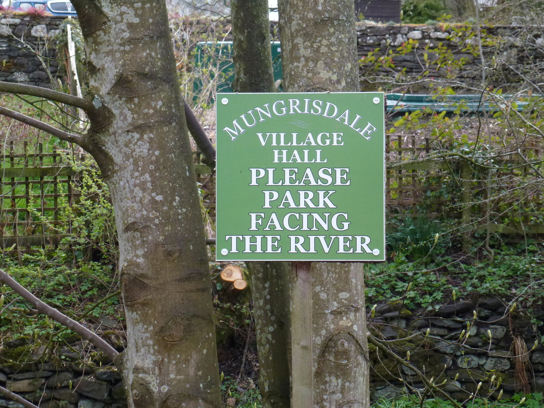
Opposite the Village Hall in Mungrisdale (Donation) - Grid Ref NY364302 (Nearest Postcode is CA11 0XQ)
Mileage
6.7 miles
Terrain
Good mountain paths throughout.
Weather
Drizzle at the start and overcast for the remainder of the walk.
Time Taken
3hrs 20mins
Total Ascent
1961ft (598m)
Wainwrights
2
Map
OL5 - The English Lakes (North Eastern Area)
Walkers
Dave, Angie & Fudge
|
GPX File
|
| ||
If the above GPX file fails to download or presents itself as an XML file once downloaded then please feel free to contact me and I will send you the GPX file via e-mail.
Walk Description
The start of the walk is from the verge parking in the lovely village of Mungrisdale - as always, please park sensibly.
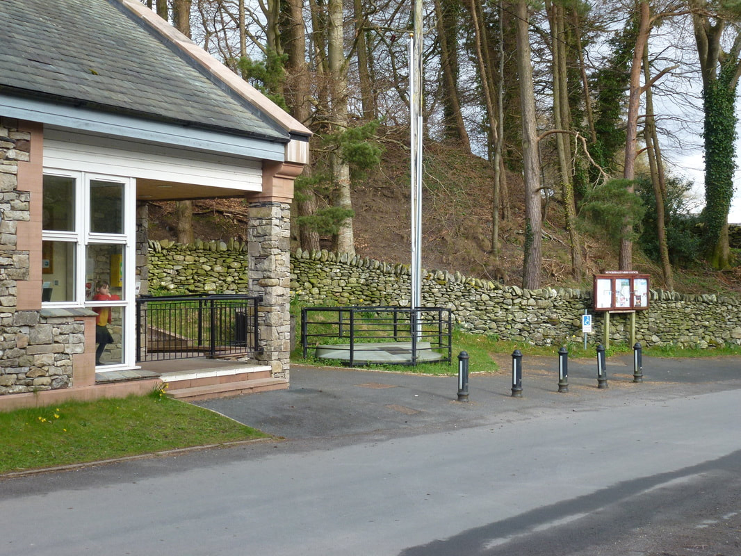
The Village Hall in Mungrisdale. The Car Parking area is directly opposite.
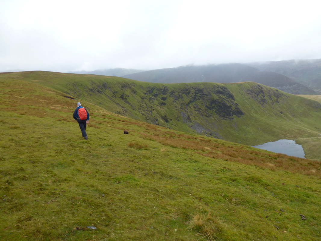
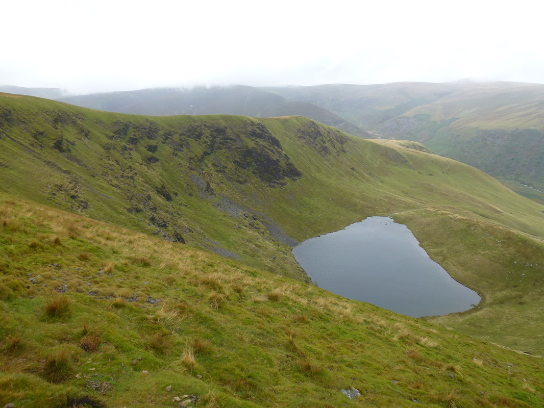
Bowscale Tarn comes into view as we reach the top of The Tongue
Bowscale Tarn is known as a "Corrie Tarn" which means it sits in a circular bowl eroded by a glacier - it is about 17 metres deep. According to local lad William Wordsworth, there are two immortal fish in Bowscale Tarn and one of them can speak apparently!! Wainwright noted that Bowscale Tarn was a popular tourist attraction in Victorian times, with visitors brought in by pony - the pony track from Bowscale still exists today as a bridleway (Bowscale Fell 7).
Bowscale Tarn is known as a "Corrie Tarn" which means it sits in a circular bowl eroded by a glacier - it is about 17 metres deep. According to local lad William Wordsworth, there are two immortal fish in Bowscale Tarn and one of them can speak apparently!! Wainwright noted that Bowscale Tarn was a popular tourist attraction in Victorian times, with visitors brought in by pony - the pony track from Bowscale still exists today as a bridleway (Bowscale Fell 7).
A short diversion off the path gives a better view of Bowscale Tarn. The tarn is held in by the whale-backed moraine to the right.
A moraine is a glacially formed accumulation of unconsolidated glacial debris (regolith and rock) that occurs in both currently and formerly glaciated regions.
A moraine is a glacially formed accumulation of unconsolidated glacial debris (regolith and rock) that occurs in both currently and formerly glaciated regions.
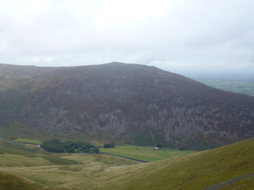
Carrock Fell
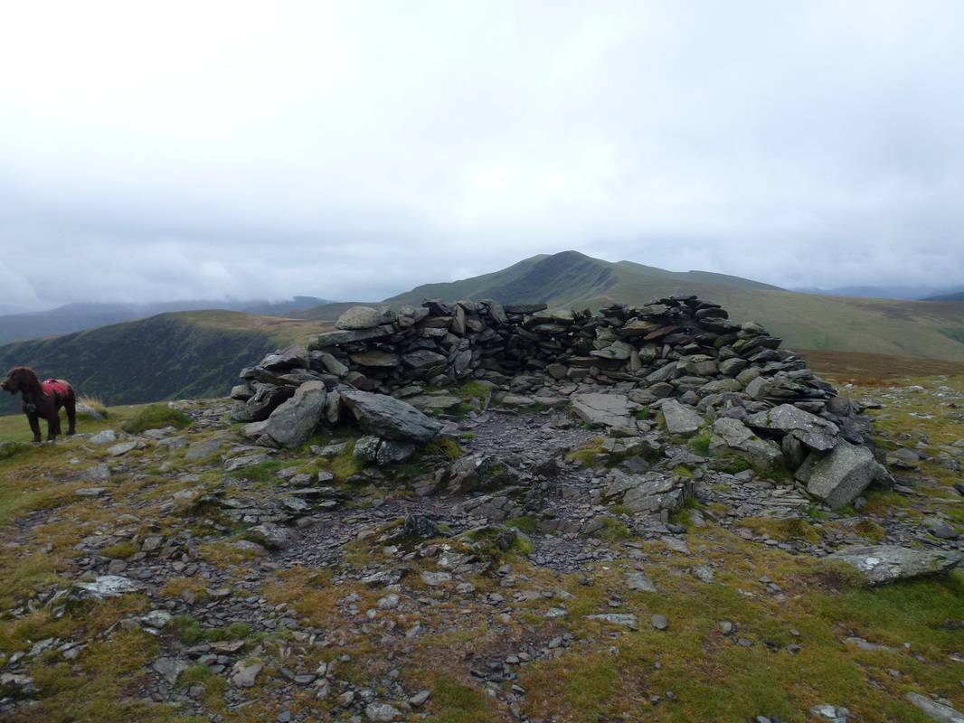
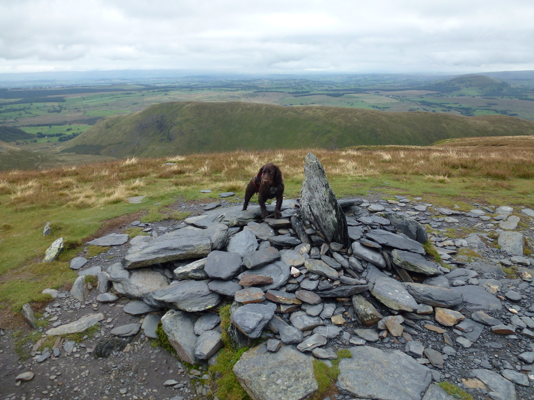
A roughly built shelter marks the summit of Bowscale Fell
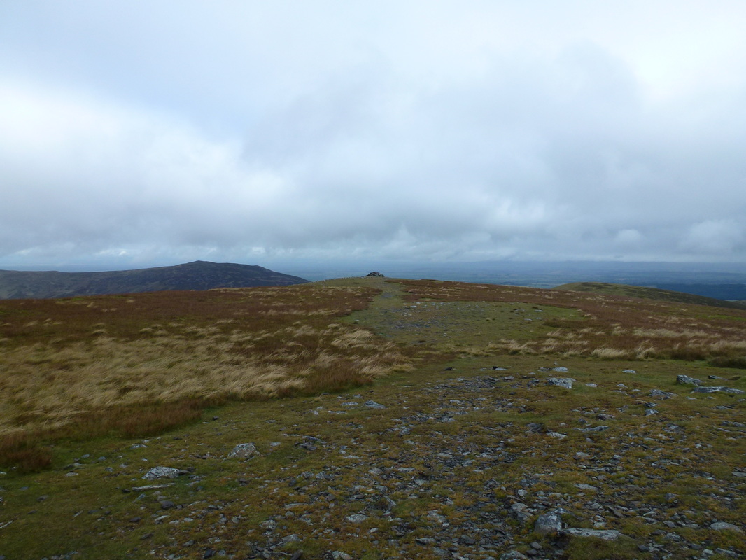
Another cairn lies approximately 100 yards to the north east and should be followed if you wish to visit Bowscale Tarn and return to Mungrisdale via the hamlet of Bowscale. To get back to the start from Bowscale is a walk of 3/4 of a mile along a quiet road.
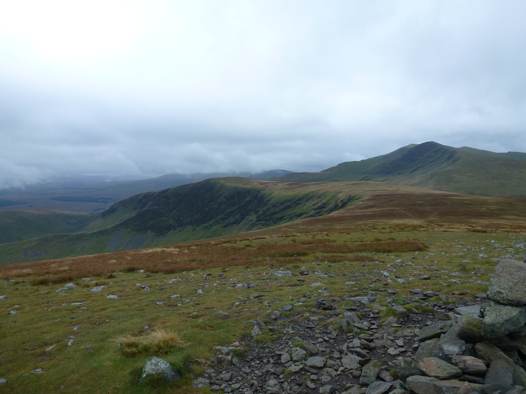
Bannerdale Crags & Blencathra.
This image was taken from the cairn which is sited at the top of a junction of paths approximately 1/4 mile south of Bowscale Fell. To the left is another route up from Mungrisdale which is south of the path we used to ascend the fell. The lower path would be our return route.
This image was taken from the cairn which is sited at the top of a junction of paths approximately 1/4 mile south of Bowscale Fell. To the left is another route up from Mungrisdale which is south of the path we used to ascend the fell. The lower path would be our return route.
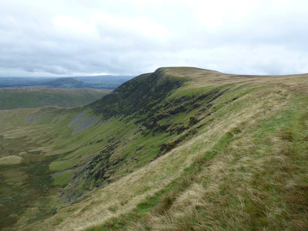
The summit of Bannerdale Crags
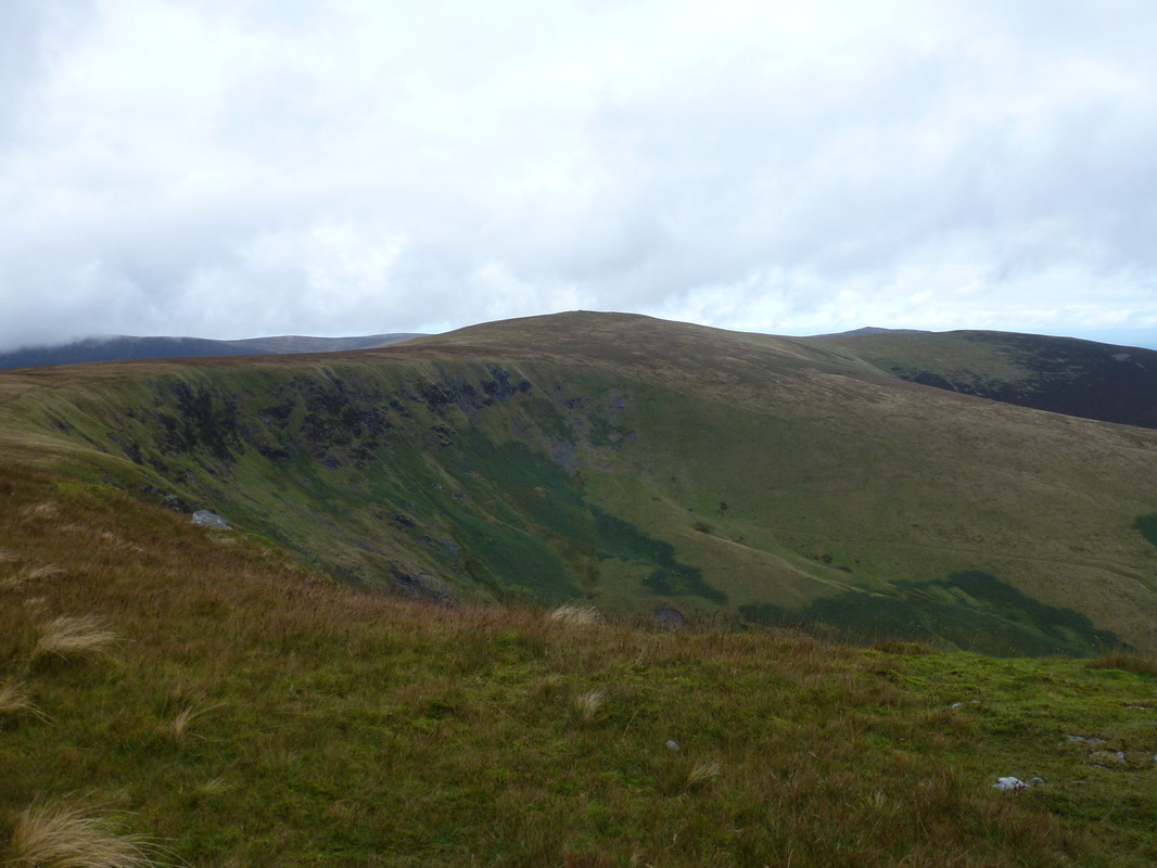
Bowscale Fell & the valley of Bannerdale from the summit
Blencathra from the summit (no, not today Fudge)
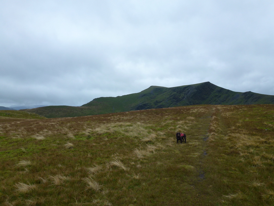
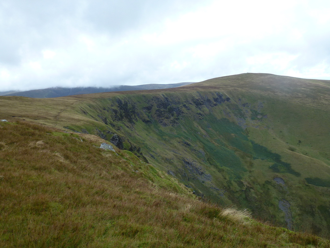
Our outward route from Bowscale Fell to Bannerdale Crags. Our return route to Mungrisdale is to the right.
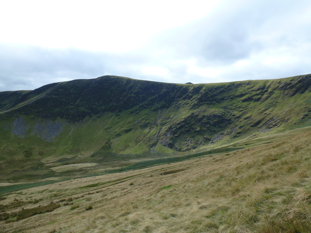
Looking back to Bannerdale Crags from the start of the lower path
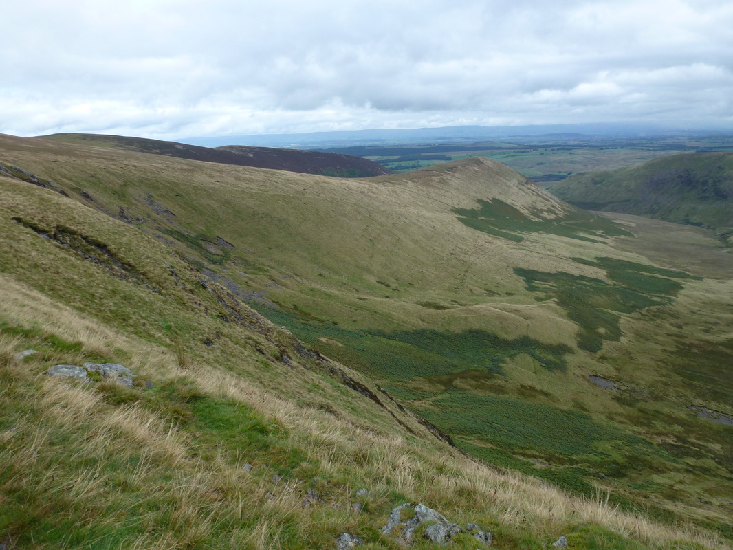
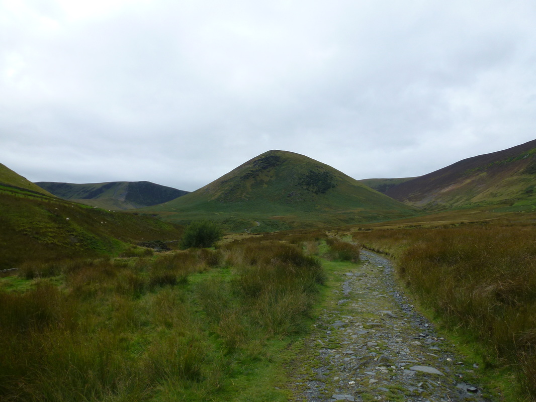
Looking to our route of ascent & descent - our ascent route is the higher of the two along The Tongue
Bannerdale Crags with Blencathra peeping out
The Tongue
Safely back down in Mungrisdale
