Pistyll Rhaeadr & Post Gwyn - Friday 2 September 2016
Route
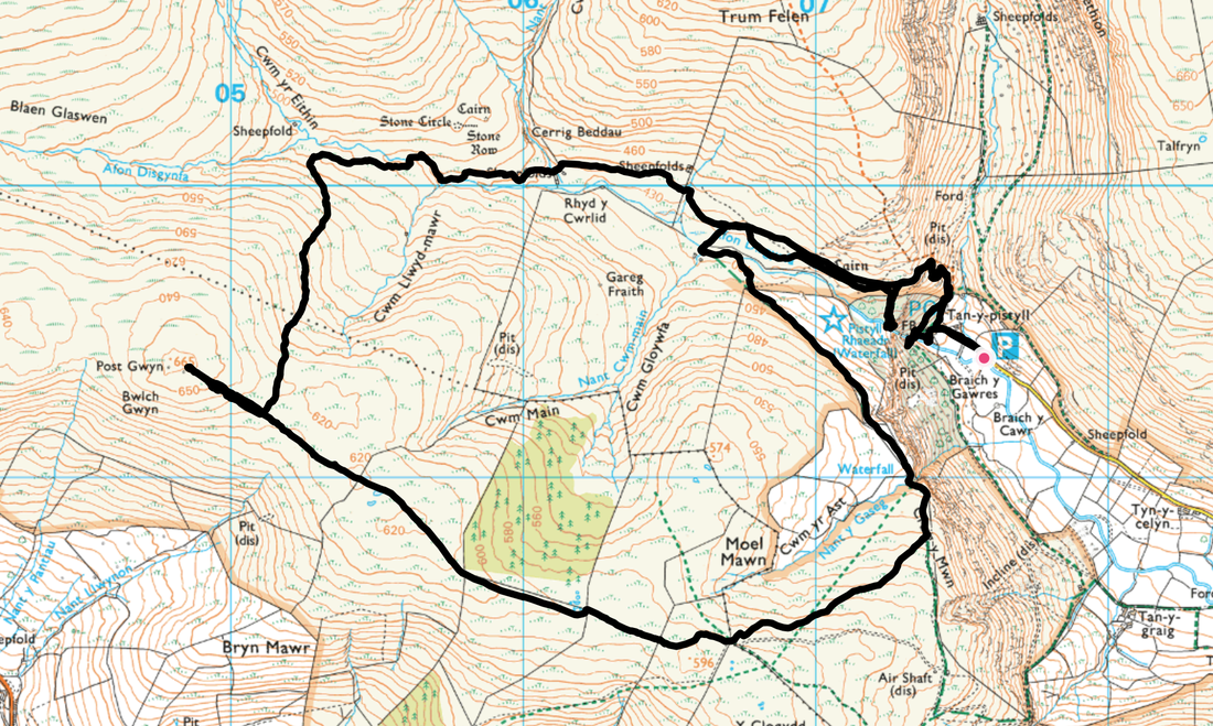
Tan-y-pistyll - Pistyll Rhaeadr - Afon Disgynfa - Blaen Gaswyn - Post Gwyn - Cwm yr Ast - Craig yr Mwn - Afon Disgynfa - Tan-y- pistyll
Parking
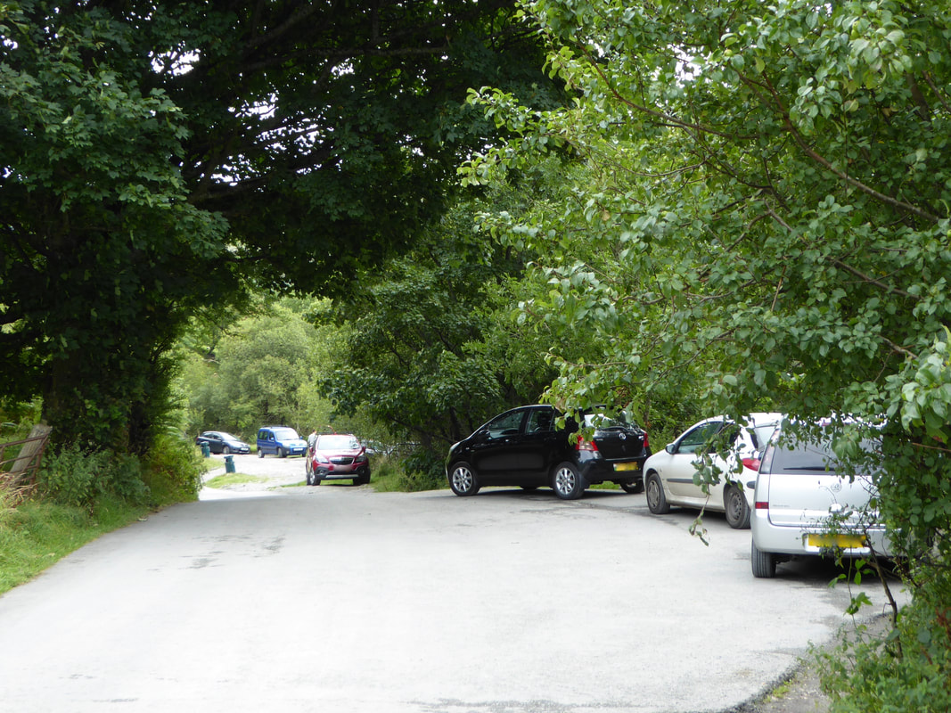
Verge parking (Free) near Tan-y-Pistyll Tea Room approximately 4 miles north west of Llanrhaeadr-ym-Mochnant. The nearest postcode is SY10 0BZ - please park sensibly in this area. The Tea Room also has a Car Park which can be used for a nominal charge.
Mileage
7 miles
Terrain
Grassy paths & tracks. The route from Post Gwyn to Cwm yr Ast is on an intermittent path. It should be noted that the majority of this route is not marked as a path on the OS Map.
Weather
Overcast with some sunny spells.
Time Taken
4hrs
Total Ascent
2070ft (631m)
Map
OS255 Llangollen & Berwyn
Walkers
Dave, Angie & Fudge
|
GPX File
|
| ||
If the above GPX file fails to download or presents itself as an XML file once downloaded then please feel free to contact me and I will send you the GPX file via e-mail.
Route Map
There are a few small lay-bys near to the start of the walk beneath Pistyll Rhaeadr
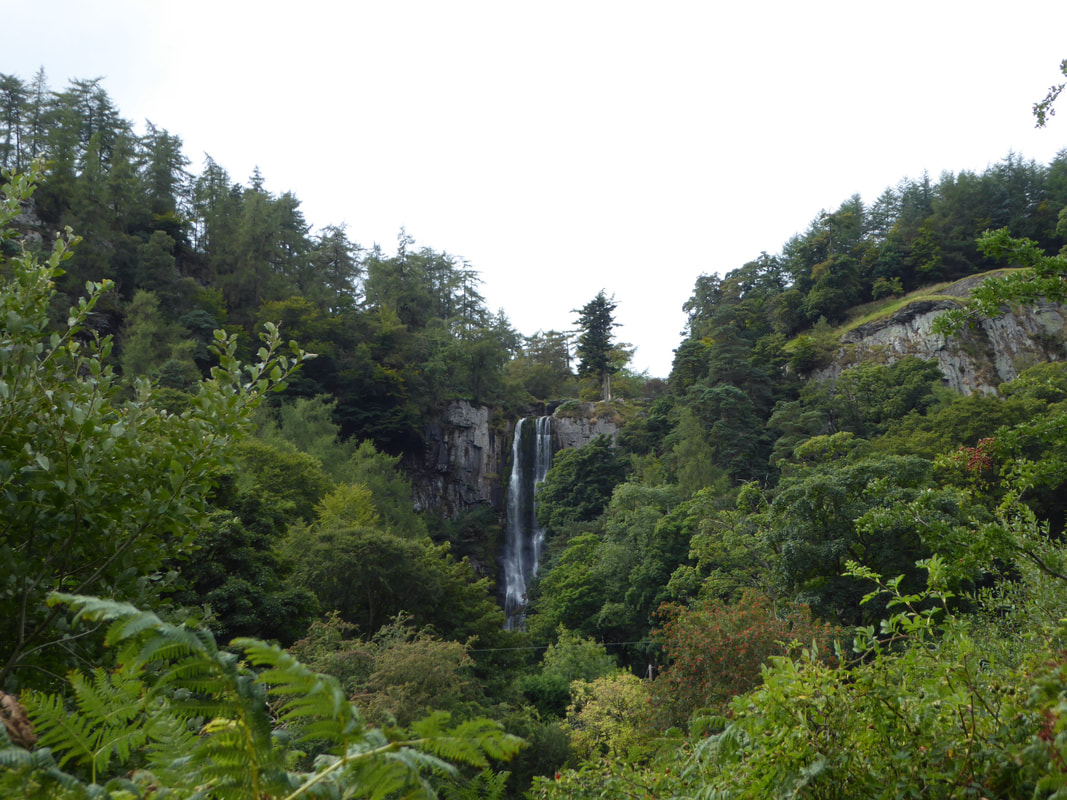
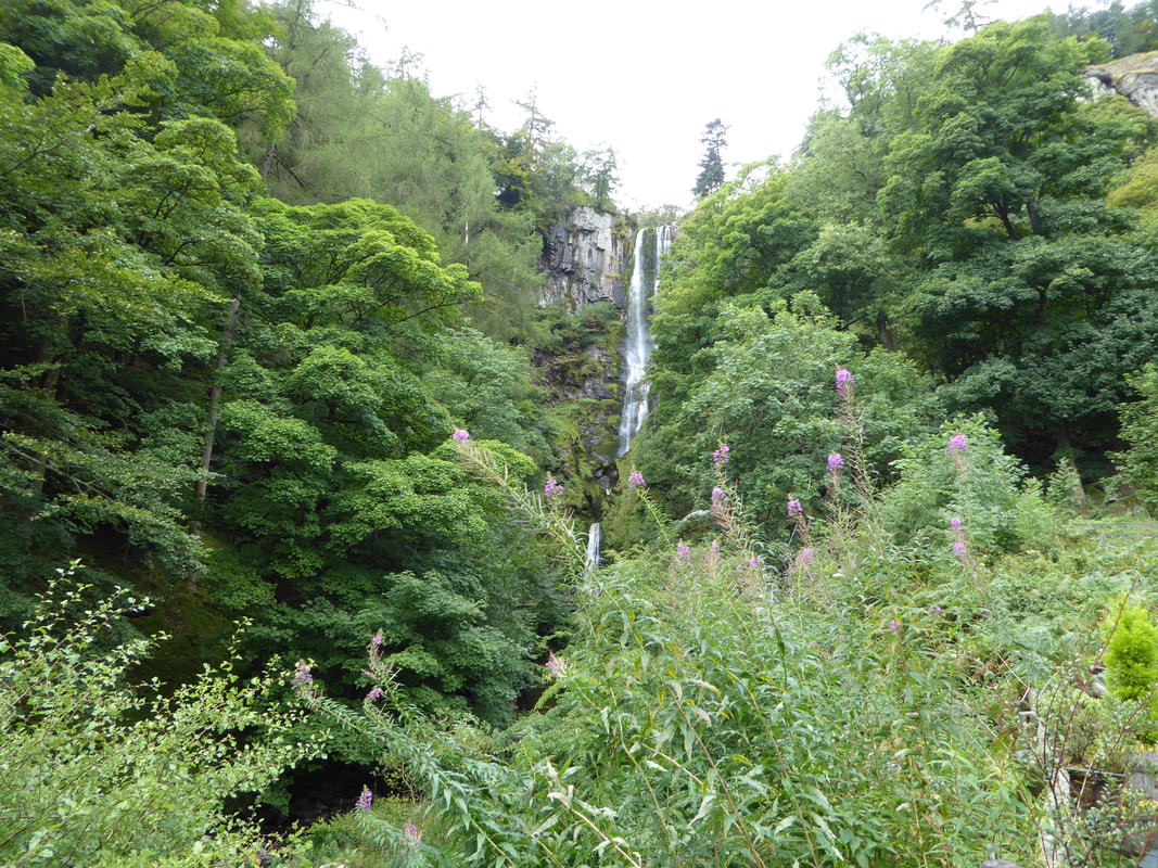
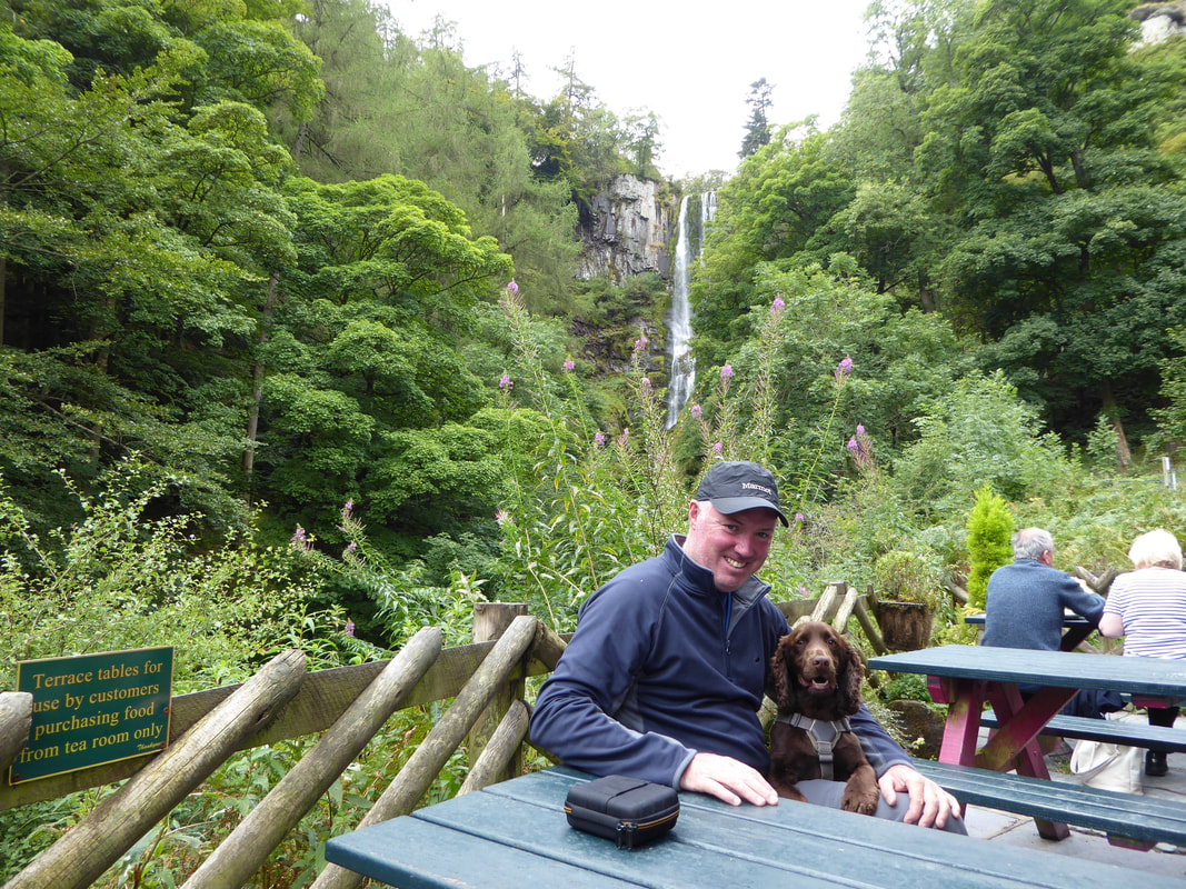
Pistyll Rhaeadr (spring of the waterfall) from the balcony of the Tan-y-Pistyll (little house under the waterfall) Tea Room.
At 240ft (80m) high it is often quoted as Britain's tallest single-drop waterfall, however people argue that it is not single drop.
At 240ft (80m) high it is often quoted as Britain's tallest single-drop waterfall, however people argue that it is not single drop.
If only people did eh?
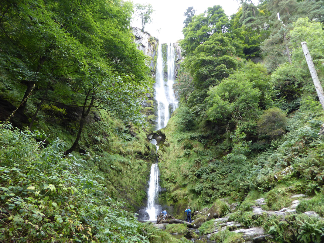
A little nearer to the waterfall - it really is a beautiful sight and these pictures do not do it justice.
And a little closer - soon we would be up on the top of the waterfall with a completely different view of it
From the Tea Room a path heads away to the north which eventually turns back around to the south to reach the top of Pistyll Rhaeadr
Looking up Cwm Blowty from the path to Pistyll Rhaeadr
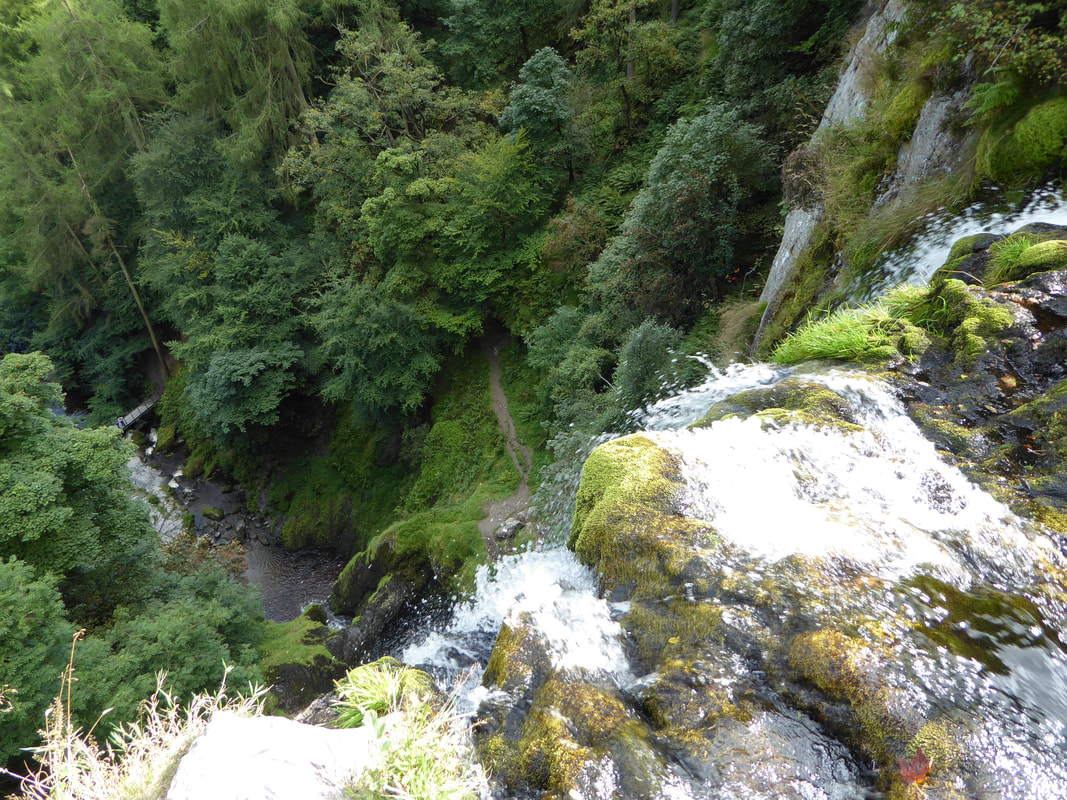
The top of Pistyll Rhaeadr
We diverted slightly off route in order to visit the top of the waterfall and it was certainly worth it.
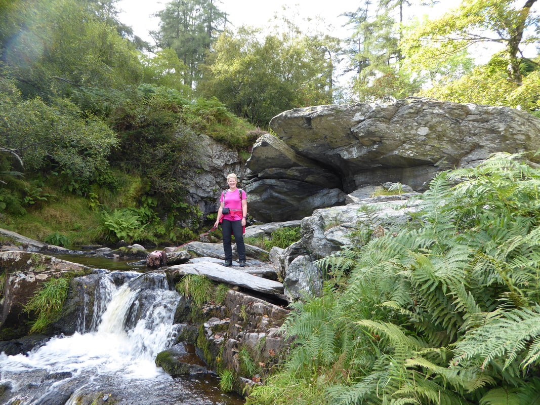
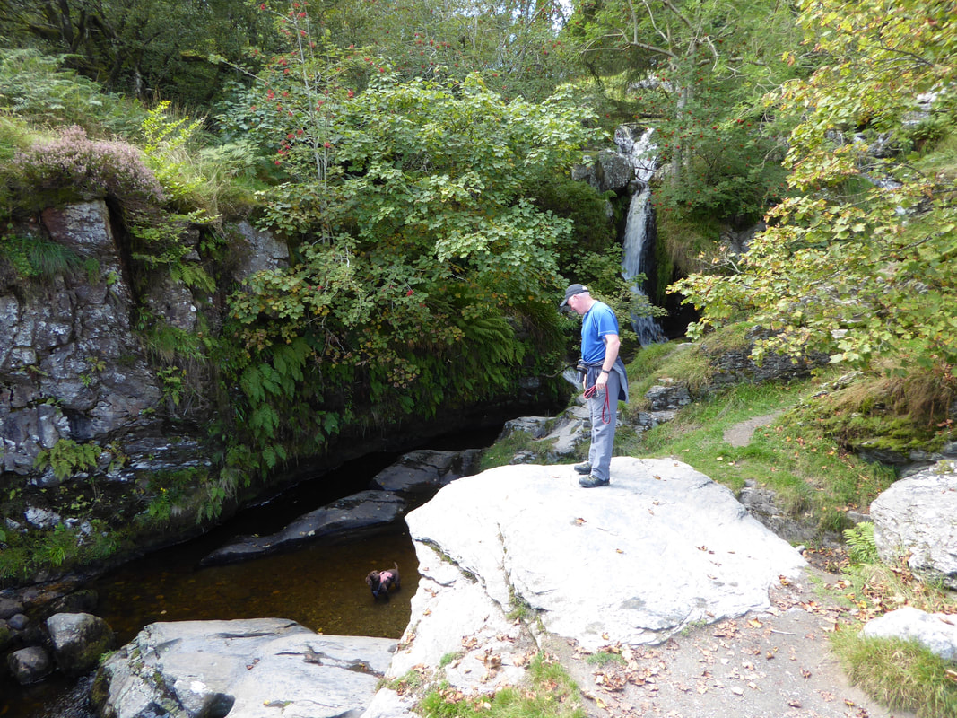
The area is full of little pools and cascades and it is worth spending a bit of time here.
The area is full of little pools and cascades and it is worth spending a bit of time here.
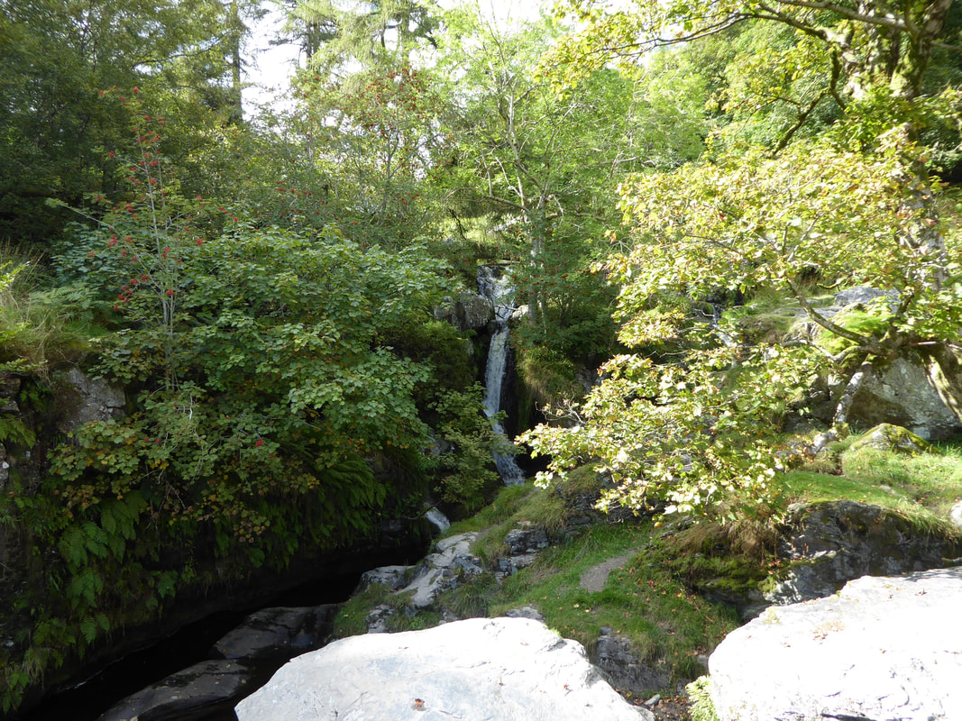
A little further on from the main waterfall top is a smaller version
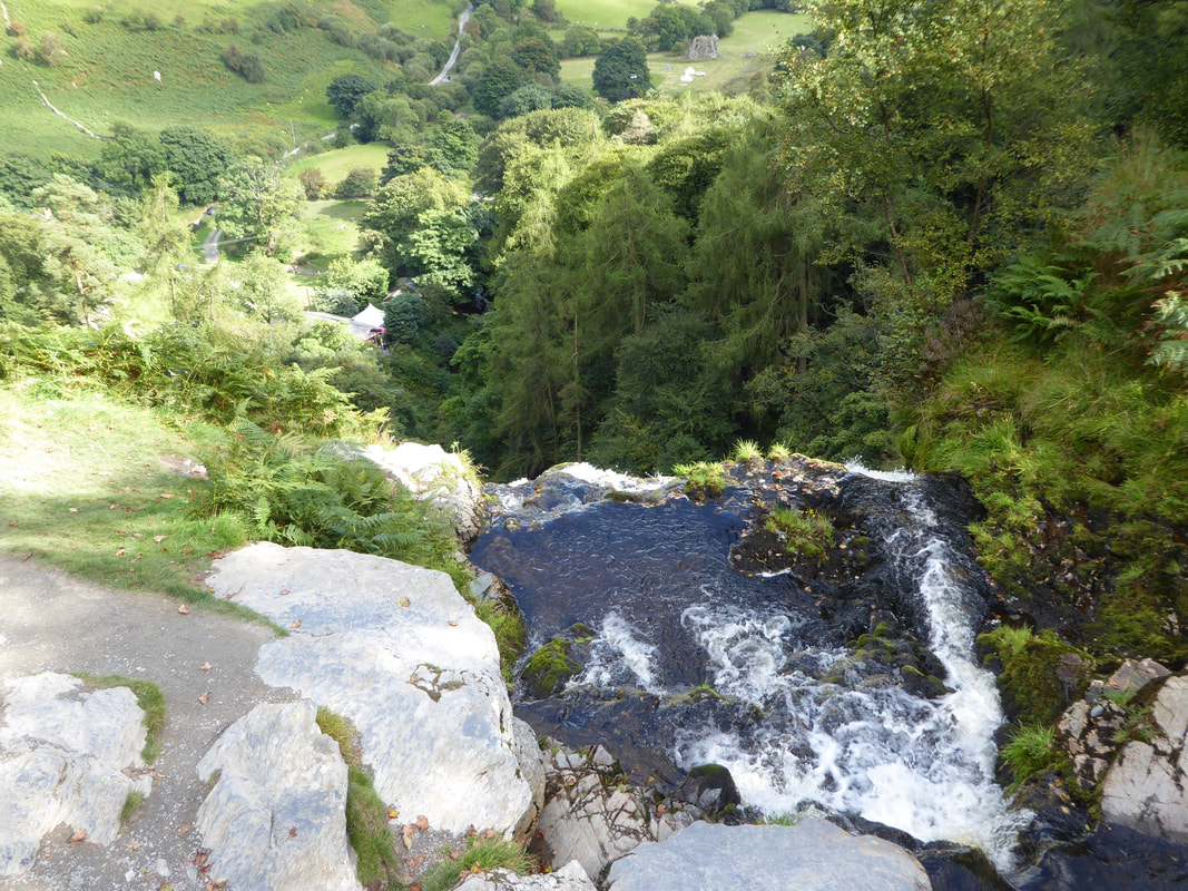
Another view from the top of Pistyll Rhaeadr.
The Tea Room can be seen below plus the road coming in from Llanrhaeadr-ym-Mochnant down Cwm Blowty
The Tea Room can be seen below plus the road coming in from Llanrhaeadr-ym-Mochnant down Cwm Blowty
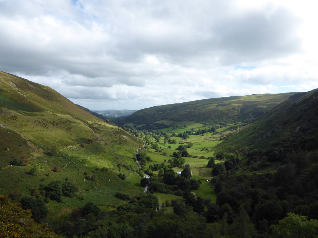
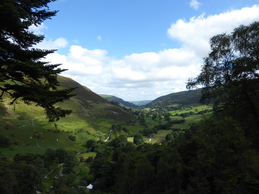
Another view down Cwm Blowty towards Llanrhaeadr-ym-Mochnant from the top of Pistyll Rhaeadr
It was hard work tempting Fudge away from his doggy playground
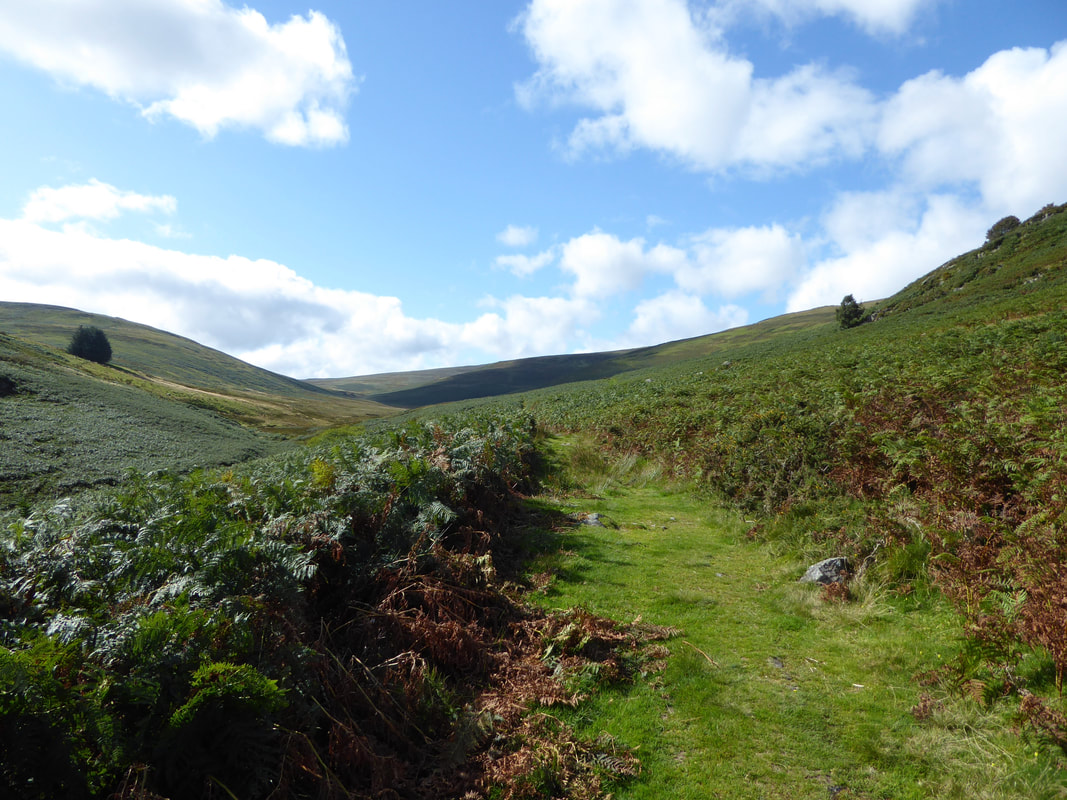
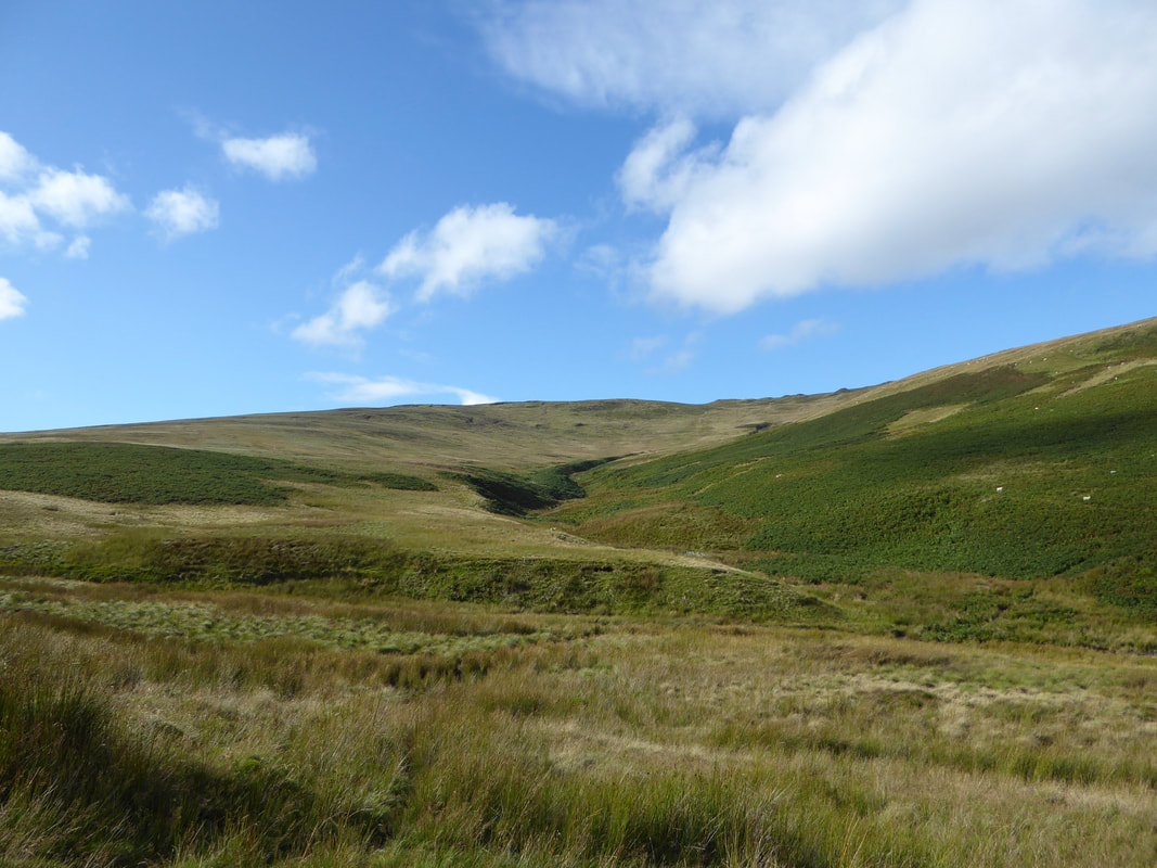
Exploring over it was now time to get back on the route and head up the valley to the west following the Afon Disgynfa
To the right of the path was Cerrig Beddau
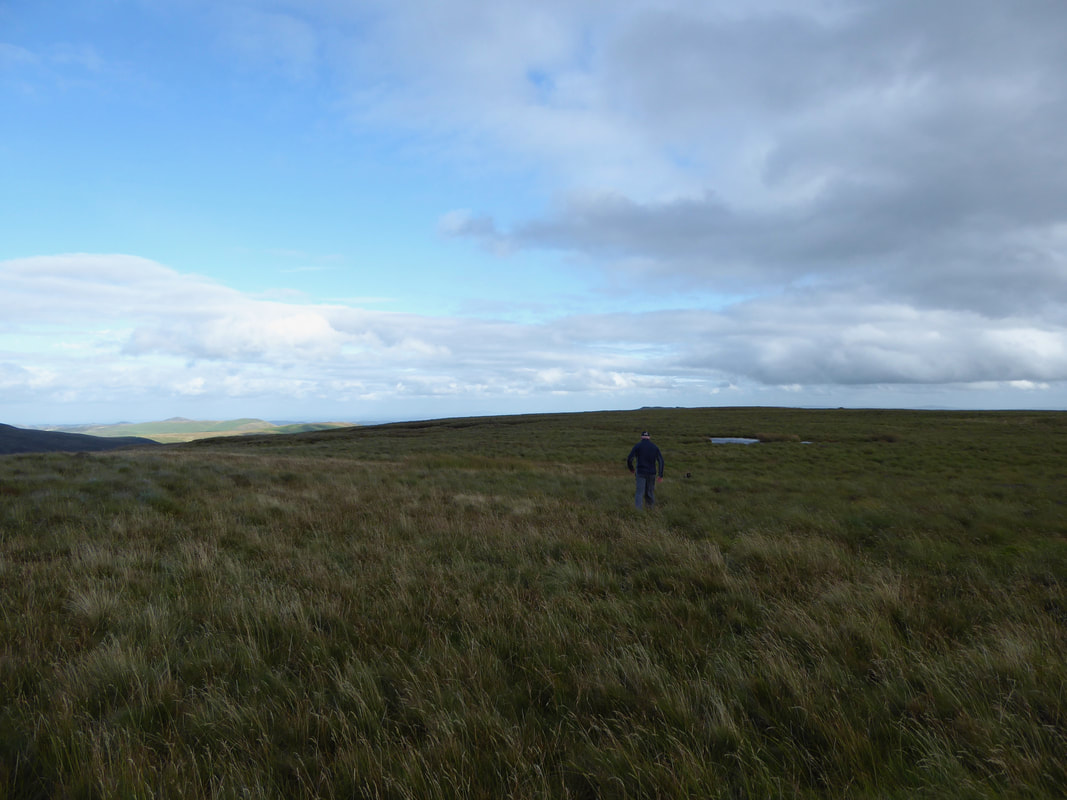
Nobody here as we make the turn south up to Post Gwyn which is behind me.
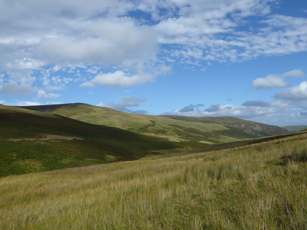
As we look to Moel Sych, I think the best day to do this walk on would be a fine clear day - it would be pretty miserable in the rain.
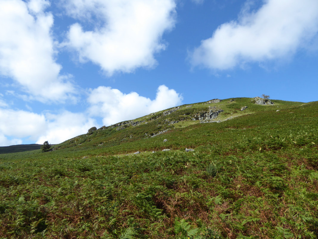
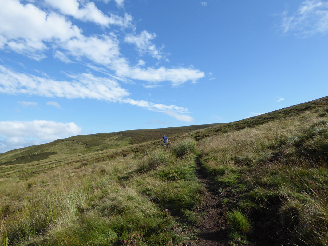
Heading up to the summit of Post Gwyn
As already stated, the paths are not marked on the OS Map but are clear on the ground. It goes without saying that a map & compass should always be carried on any walk with the obvious ability in knowing how to use them.
As already stated, the paths are not marked on the OS Map but are clear on the ground. It goes without saying that a map & compass should always be carried on any walk with the obvious ability in knowing how to use them.
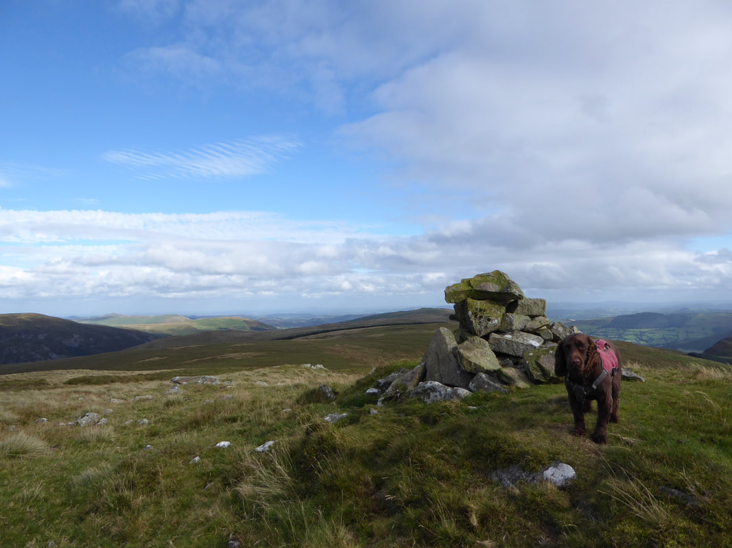
The summit of Post Gwyn (White Pillar)
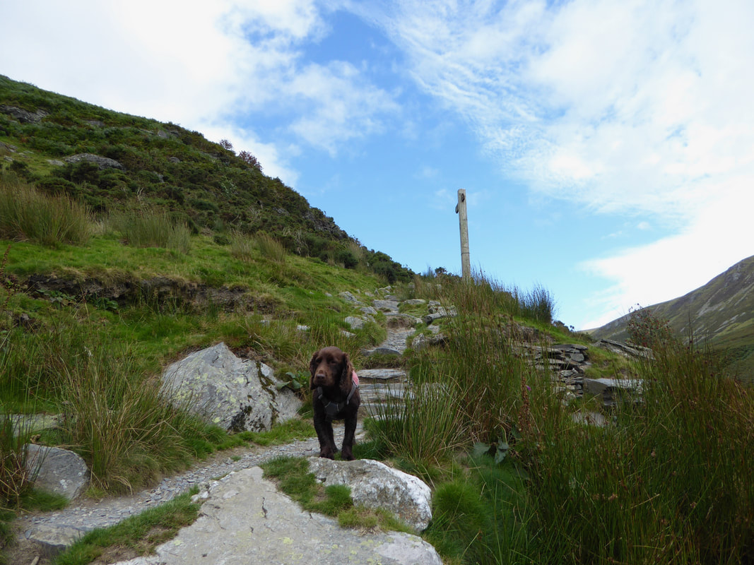
Fudge is looking at me as if to say "Is this really it?"
Fudge is looking at me as if to say "Is this really it?"
From Post Gwyn a rough and intermittent path makes its way east over featureless ground
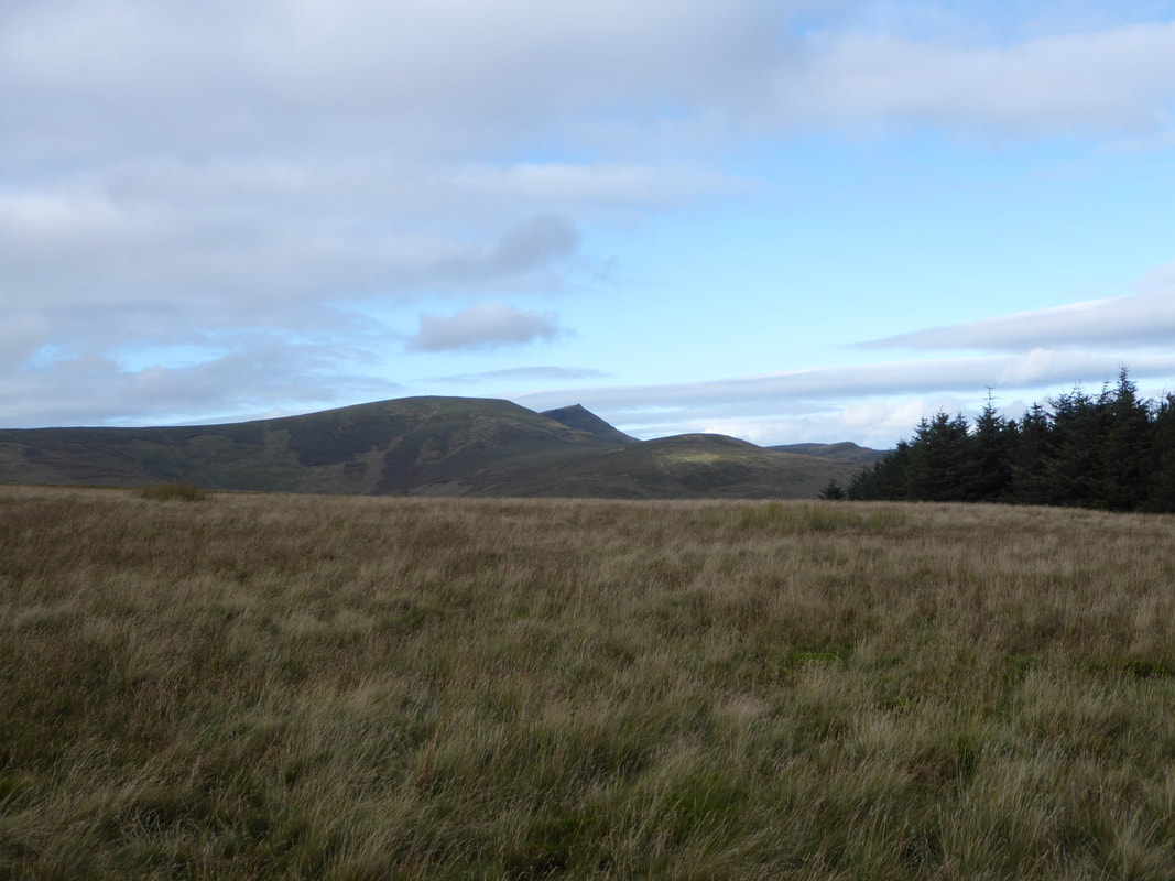
Moel Sych & Cadair Berwyn
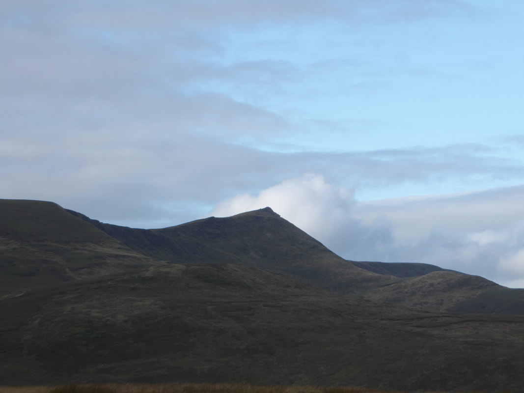
Zooming in on Cadair Berwyn
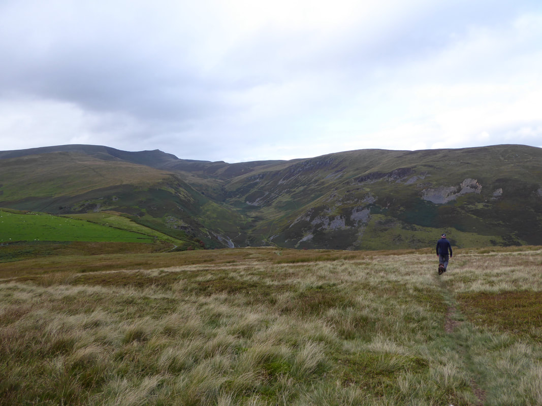
Dropping down to Pistyll Rhaeadr looking to Moel Sych, Cadair Berwyn and Moel yr Ewig
Back at the Tea Room it was time for some Tea & Cake - I think Fudge agrees.
