Hallin Fell, Steel Knotts, High Raise, Rampsgill Head & The Knott - Sunday 19 July 2020
Route
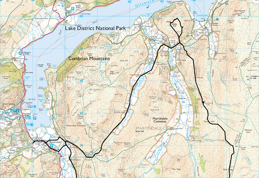
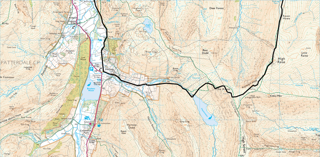
Patterdale - Rooking - Boredale Hause - Boredale Head - Martindale - Hallin Fell - St Peter's Church - Birkie Knott - Steel Knotts (Pikeawassa) - Brownthwaite Crag - Gowk Hill - Red Crag - Raven Howe - High Raise - Rampsgill Head - Straits of Riggindale - The Knott - Hayeswater - Hartsop - Dubhow - Crookabeck - Rooking - Side Farm - Patterdale
Parking
Patterdale where it is £3 all day at King George V Car Park (opposite Patterdale Hall) - Grid Ref NY390160 (Nearest Postcode is CA11 0PX).
Mileage
16.8 miles
Terrain
Generally good mountain paths with some walking on farm tracks and quiet lanes.
Weather
Overcast with some sunny spells and strong winds crossing High Raise. Visibility was pretty good today.
Time Taken
9hrs
Total Ascent
4124ft (1257m)
Wainwrights
5 (with the option of two quick "out & backs" to Wether Hill & Kidsty Pike)
Map
OL5 - The English Lakes - North Eastern Area
Walkers
Dave, Angie & Fudge
|
GPX File
|
| ||
If the above GPX file fails to download or presents itself as an XML file once downloaded then please feel free to contact me and I will send you the GPX file via e-mail.
Route Map
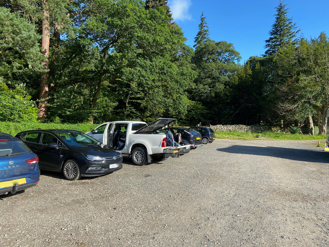
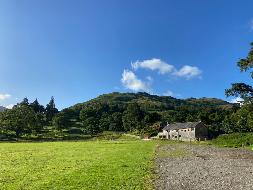
The walk starts from the Sports Field Car Park in Patterdale - plenty of room but get here sharpish on a weekend.
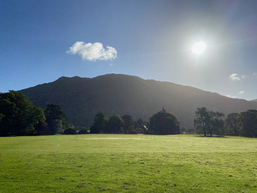
The sun rises above Place Fell
Arnison Crag from the Sports Field Car Park
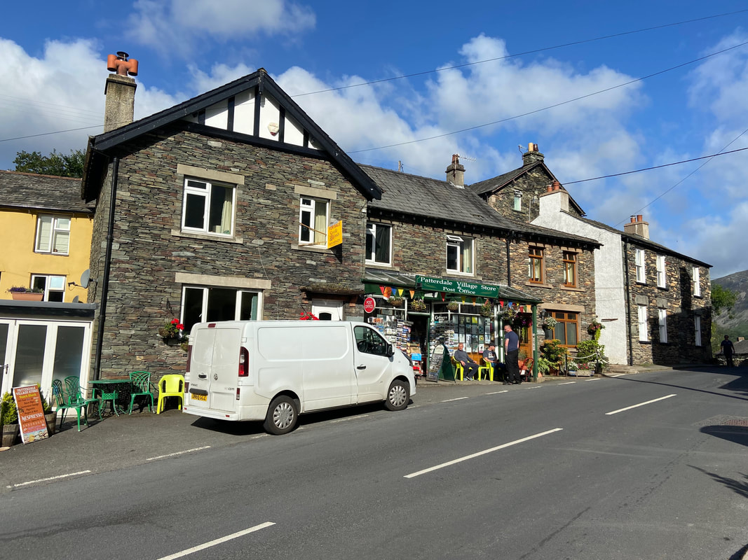
The Village Store & Post Office in Patterdale
At the time of writing the business was up for sale - they do a cracking Hot Sausage Baguette which was the pre walk meal of choice today.
At the time of writing the business was up for sale - they do a cracking Hot Sausage Baguette which was the pre walk meal of choice today.
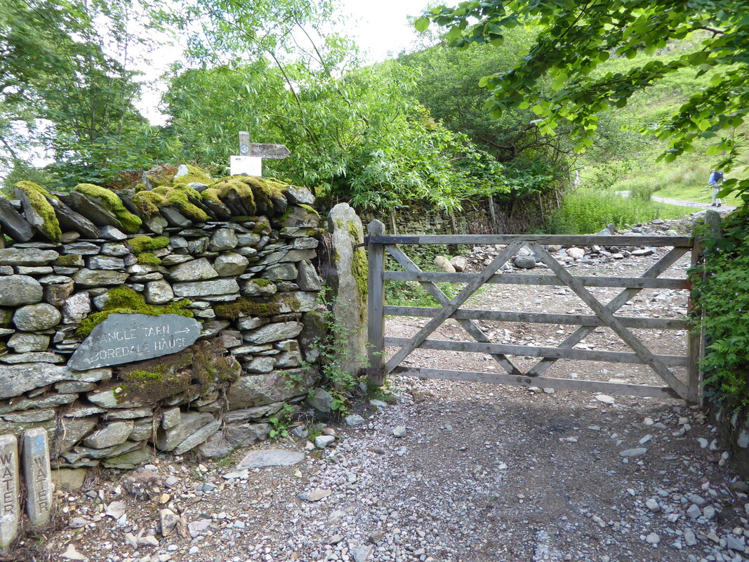
A gate above Rooking gives access to the path leading up to Boredale Hause
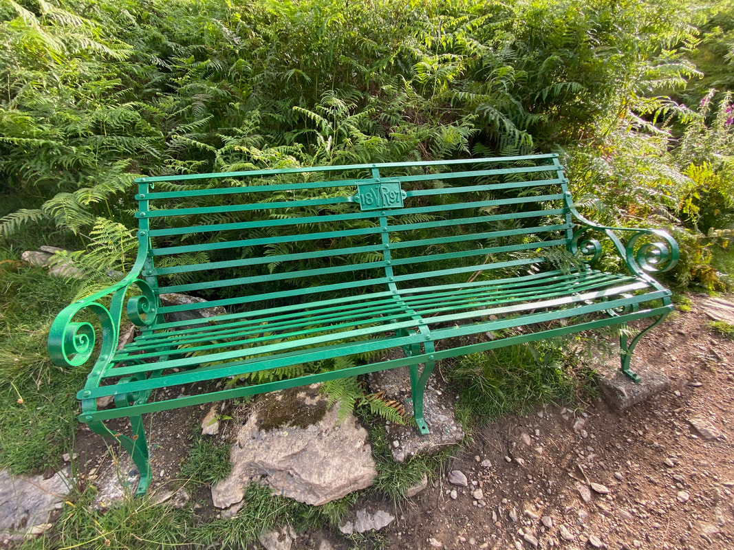
A short pull up the path to Boredale Hause is a delightful Victorian seat
Arnison Crag & Birks from the path to Boredale Hause
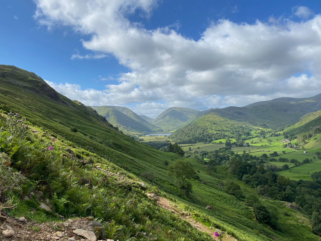
Hartsop Dodd, Caudale Moor, Brothers Water, Red Screes, Middle Dodd, Hartsop above How & Little Hart Crag from the Boredale Hause path
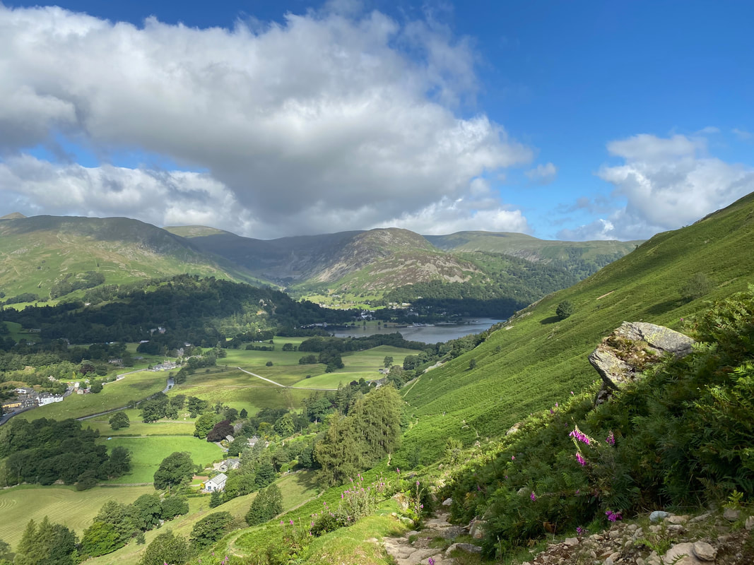
The head of Ullswater & Glenridding with Patterdale to the left.
Birkhouse Moor sits up above Patterdale with Glenridding Dodd & Sheffield Pike above Glenridding. The pointy tip of Catstycam can be seen on the far left.
Birkhouse Moor sits up above Patterdale with Glenridding Dodd & Sheffield Pike above Glenridding. The pointy tip of Catstycam can be seen on the far left.
Boredale Hause
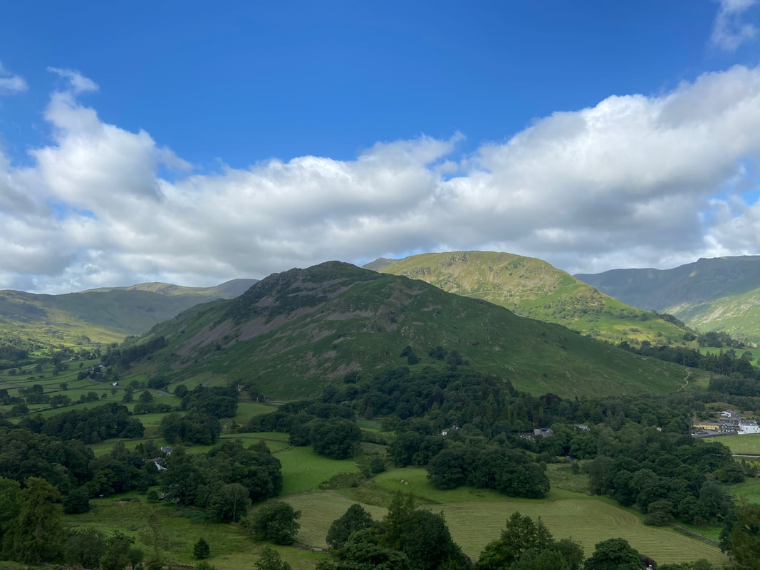
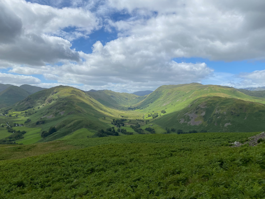
We had often thought about doing this path either to or from Howtown & Boredale Hause but had never actually got around to it until today. It is a delightful transit along the valley of Boredale with the flanks of Place Fell to the left and Beda Fell to the right. Our first objective of Hallin Fell is in the centre of shot.
The Boredale Valley - we saw absolutely nobody on this section of the walk
Looking back to Boredale Hause
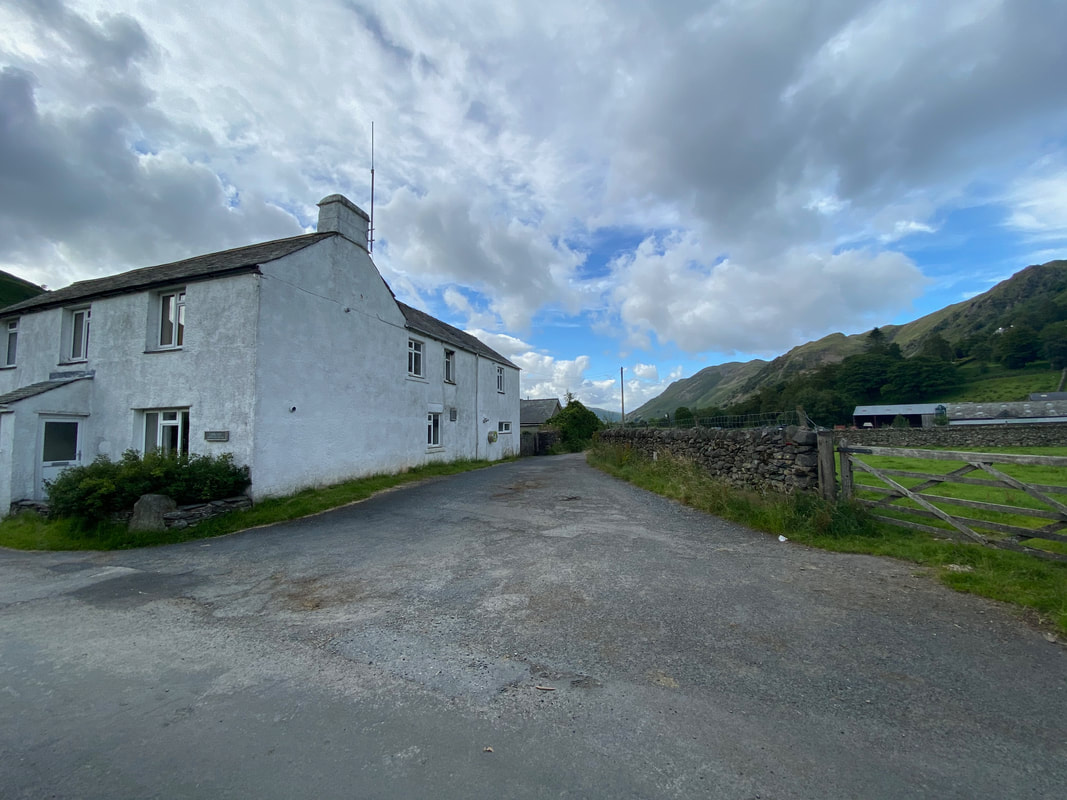
The farm buildings at Boredale Head
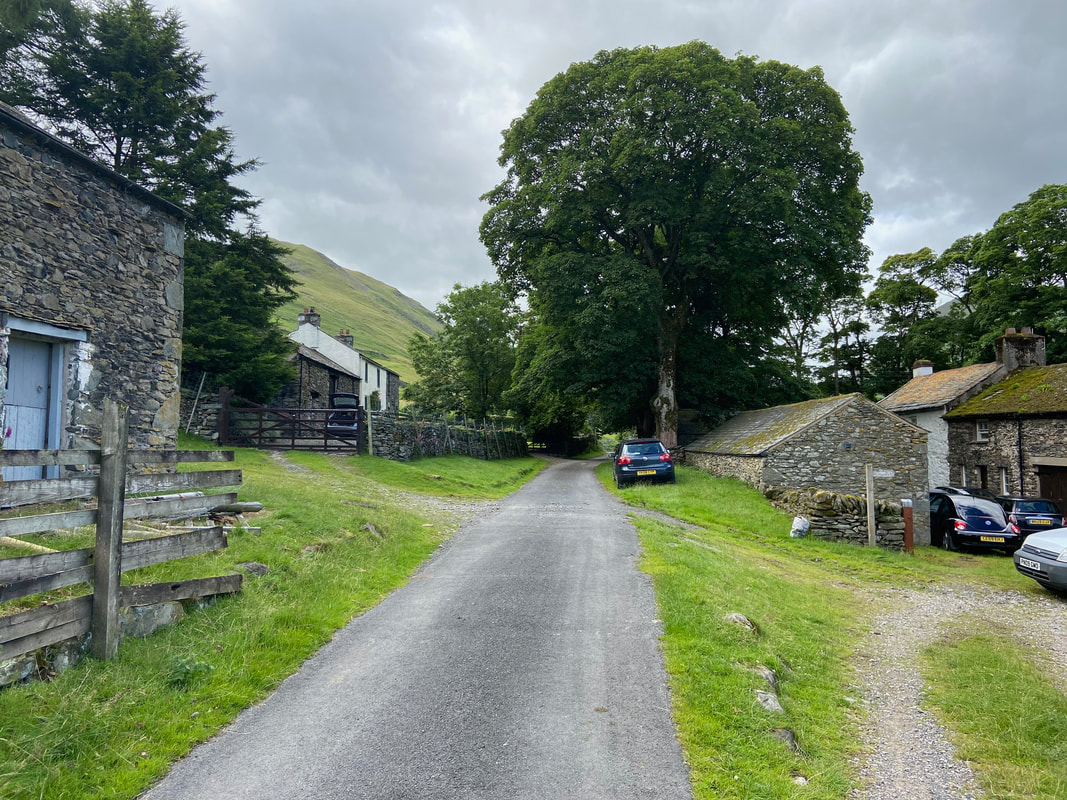
From a rough track the route becomes a tarmac road to pass through the farm buildings at Boredale Head
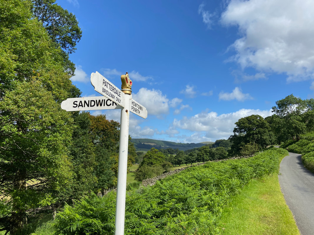
A mile or so from Boredale Head the road splits - we were heading towards Howtown
Cat Crag
Gowbarrow Fell across Ullswater
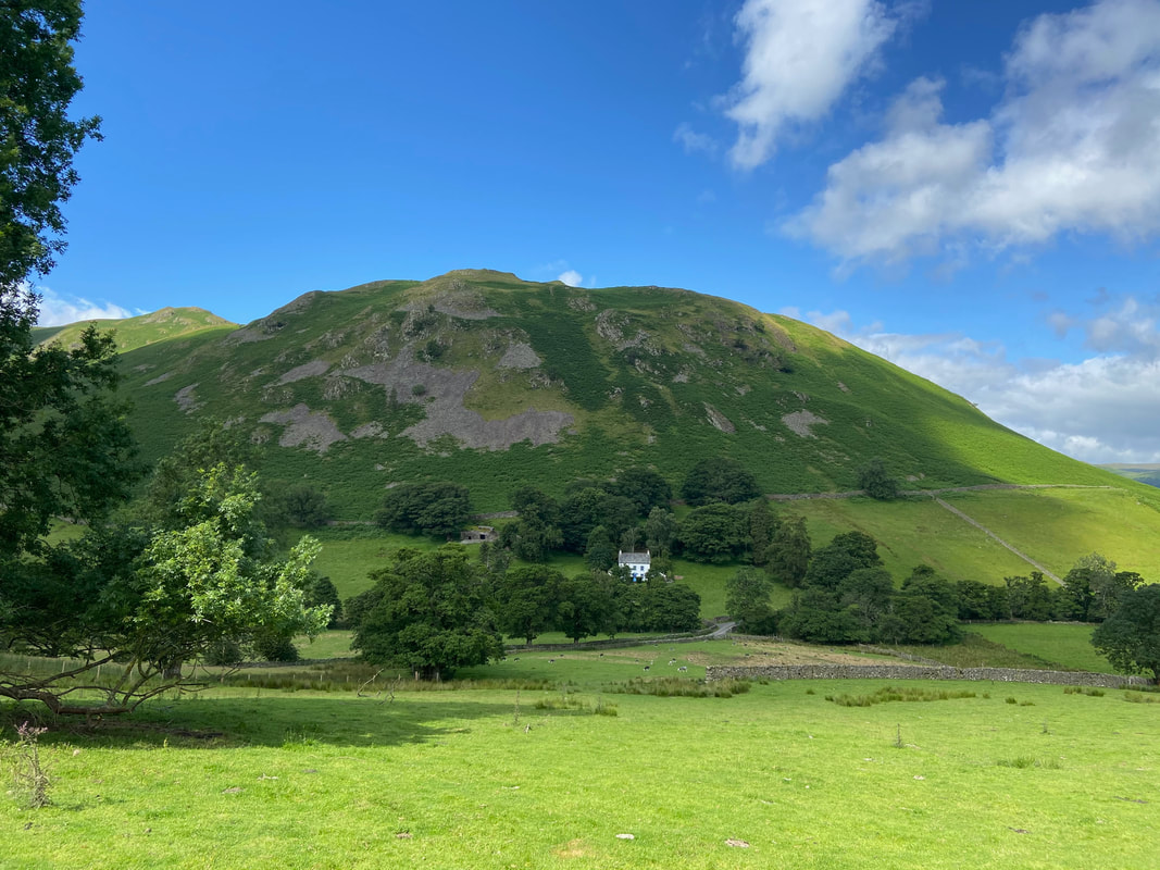
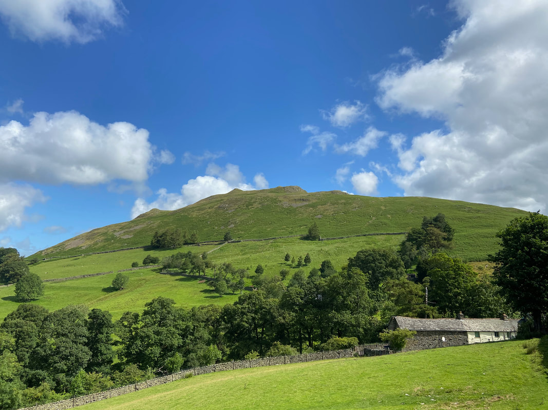
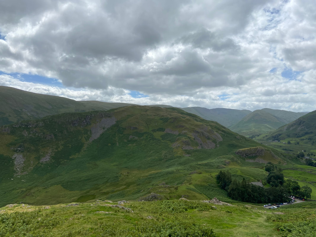
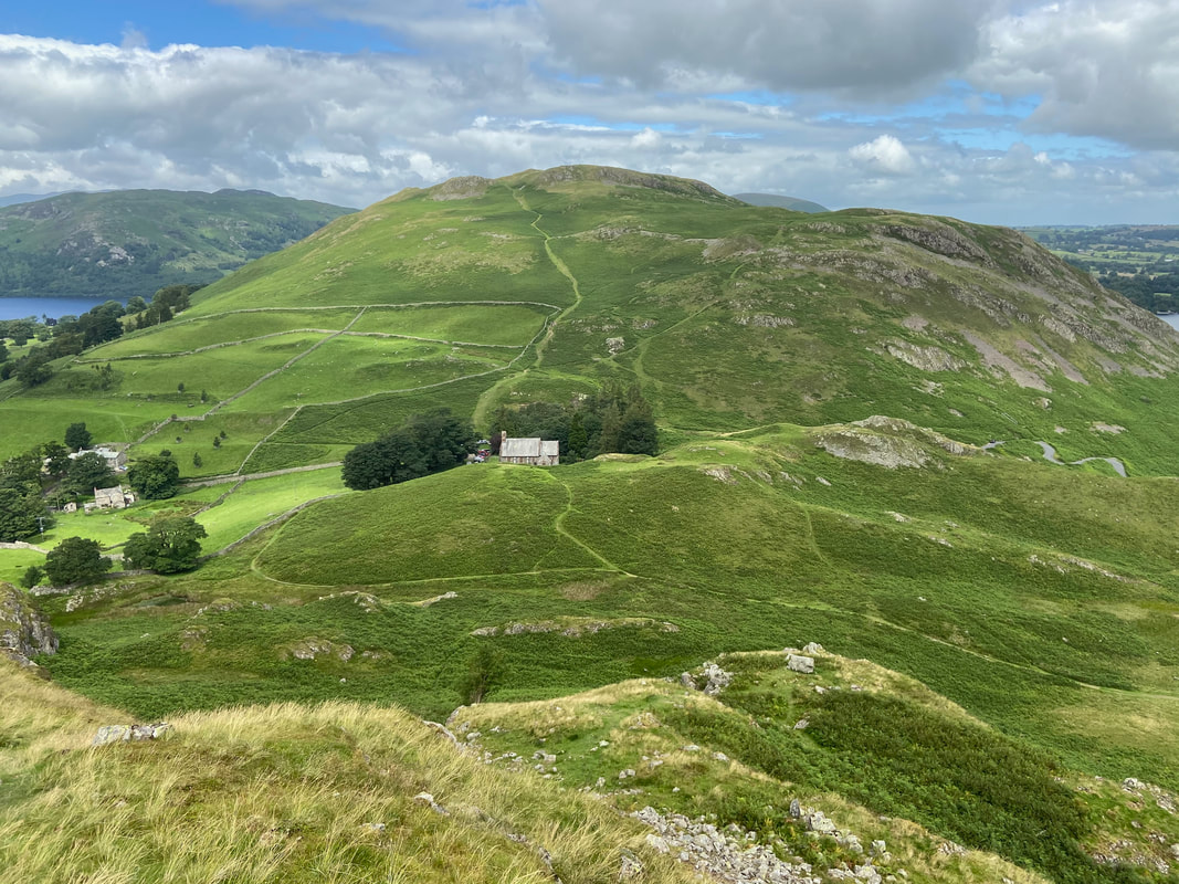
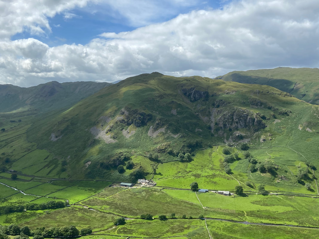
The southern slopes of Hallin Fell
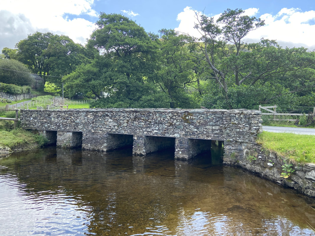
The road bridge crossing Howegrain Beck in Martindale
Looking to Beda Fell & Winter Crag from the ascent of Hallin Fell
Steel Knotts from Hallin Fell
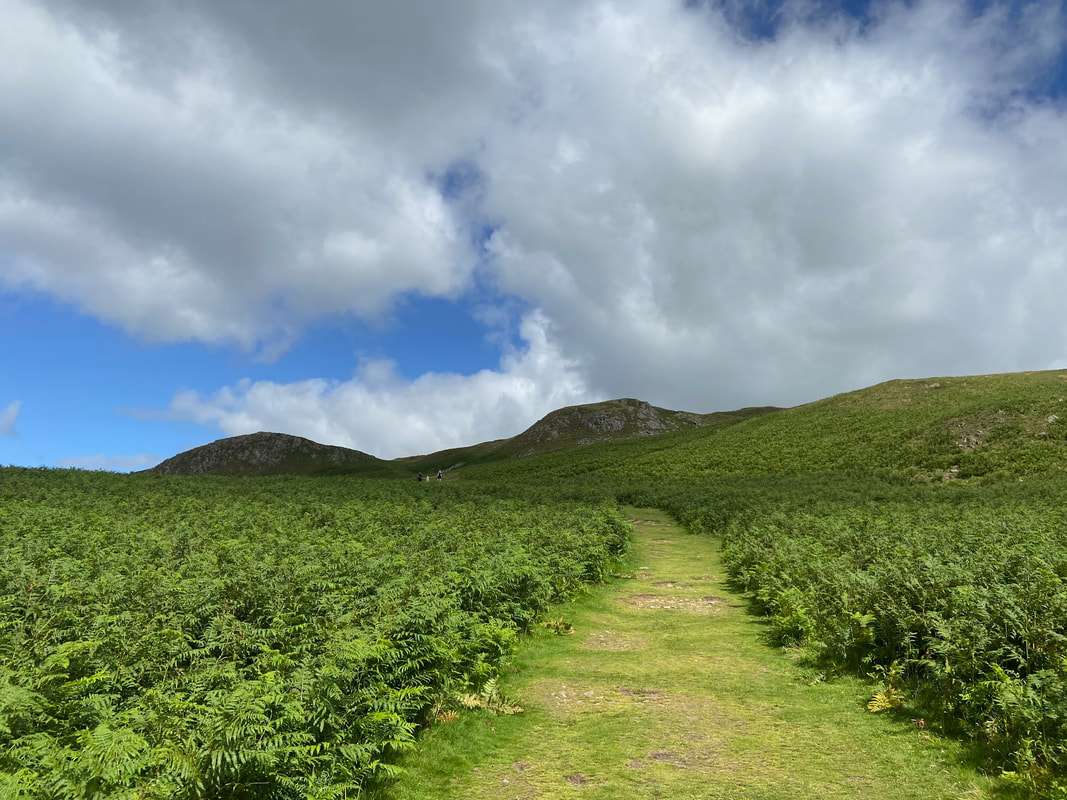
The ascent of Hallin Fell is on a delightful grassy path
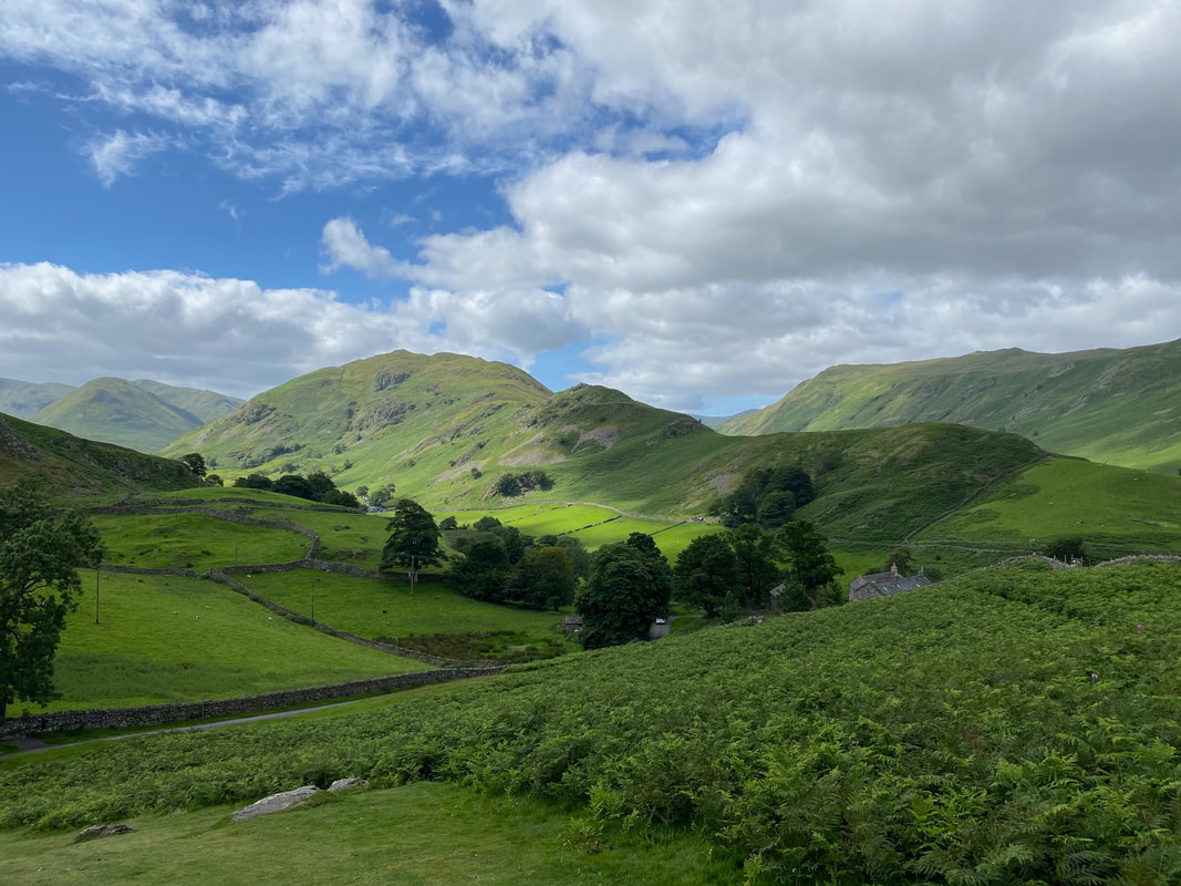
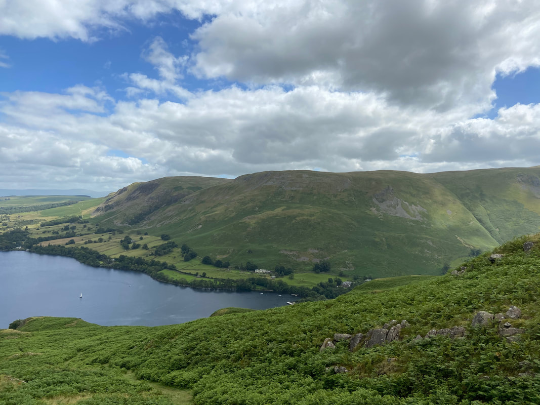
Boredale from Hallin Fell
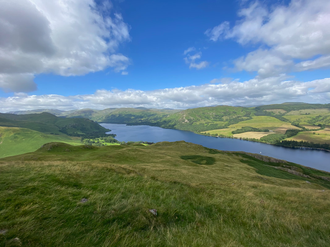
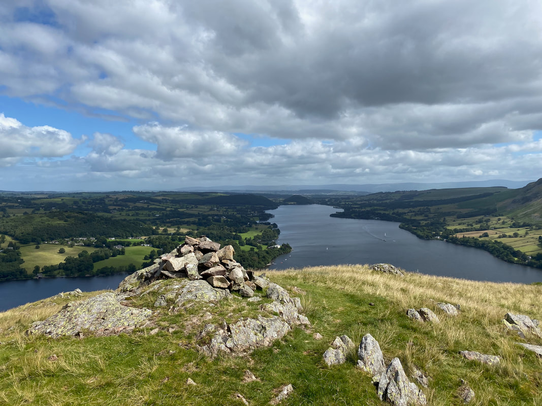
Looking south along Ullswater
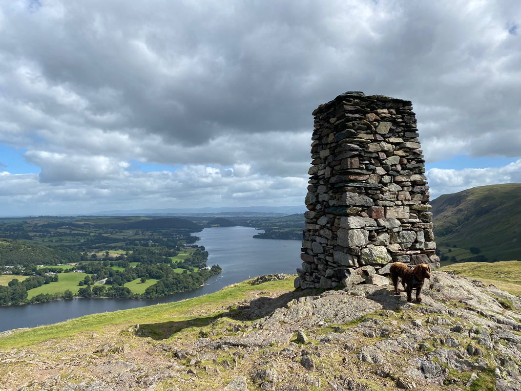
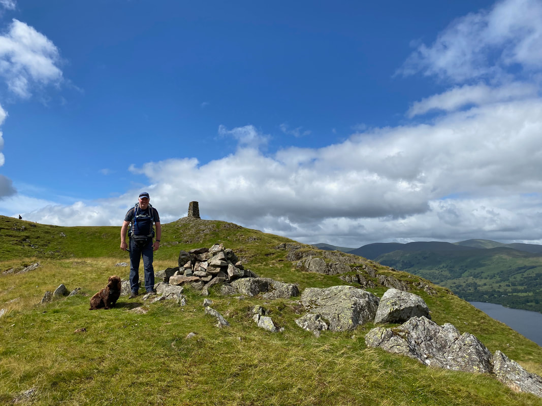
The impressive obelisk on the summit of Hallin Fell
It is worth making the short transit to the northern end of Hallin Fell to the cairn
With Fudge at the northern cairn
Arthur's Pike & Bonscale Pike from the summit of Hallin Fell
Descending Hallin Fell to St Peter's Church
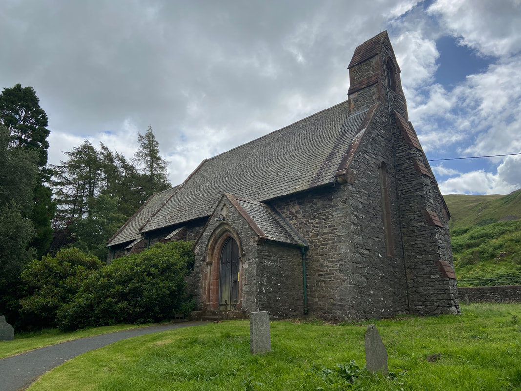
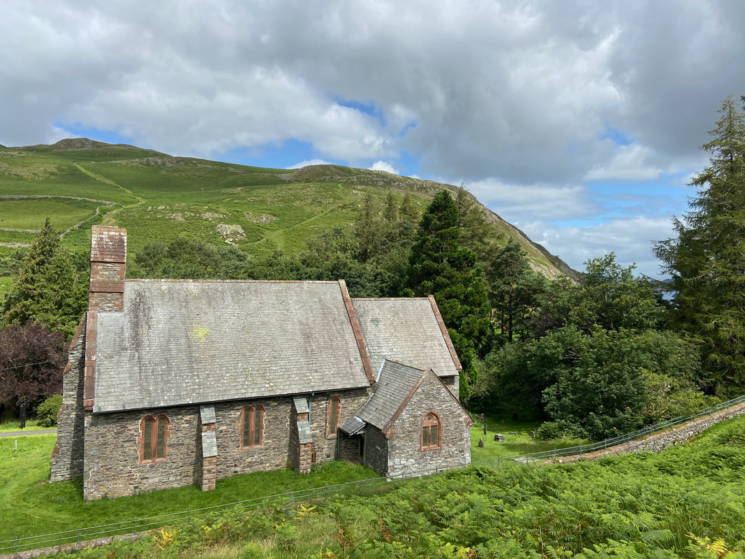
St Peter's Church, Martindale
Hallin Fell from the southern side of St Peter's Church
The next objective of Steel Knotts
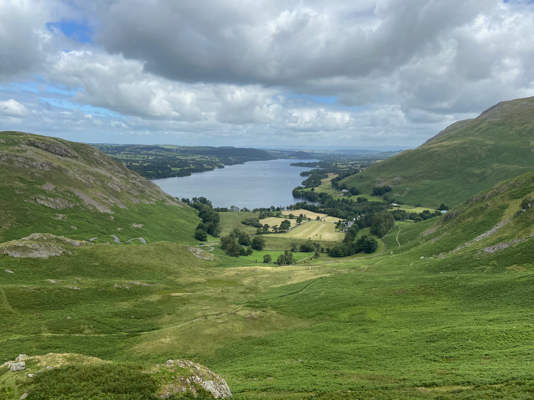
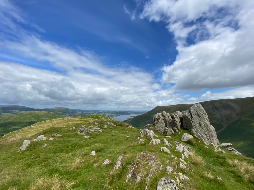
Ullswater from the ascent of Steel Knotts
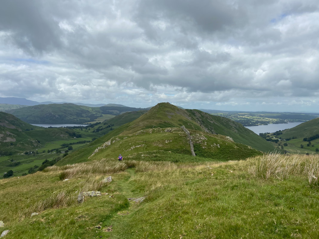
Hallin Fell from the ascent of Steel Knotts
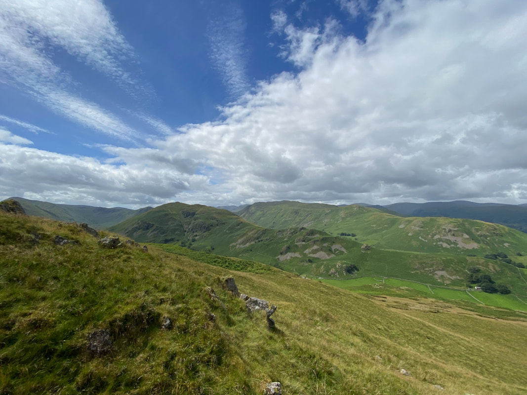
Beda Fell & Place Fell from Steel Knotts
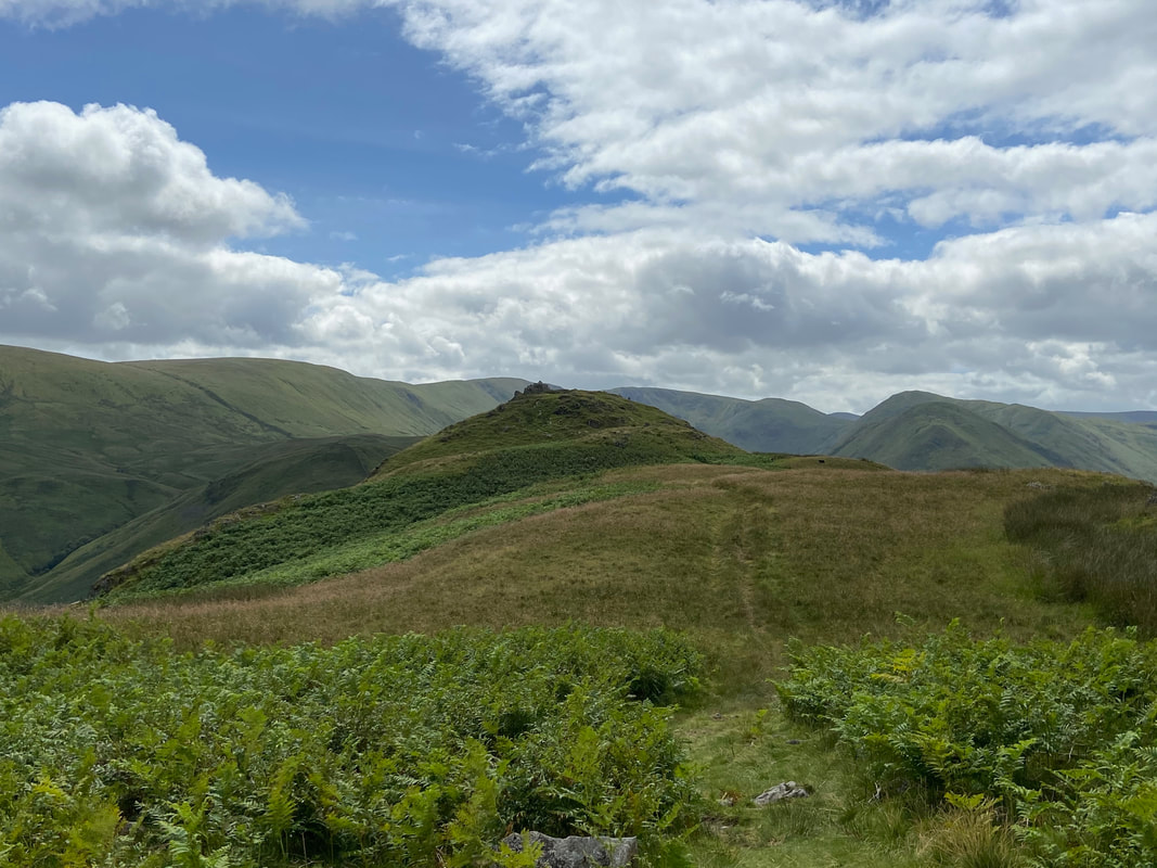
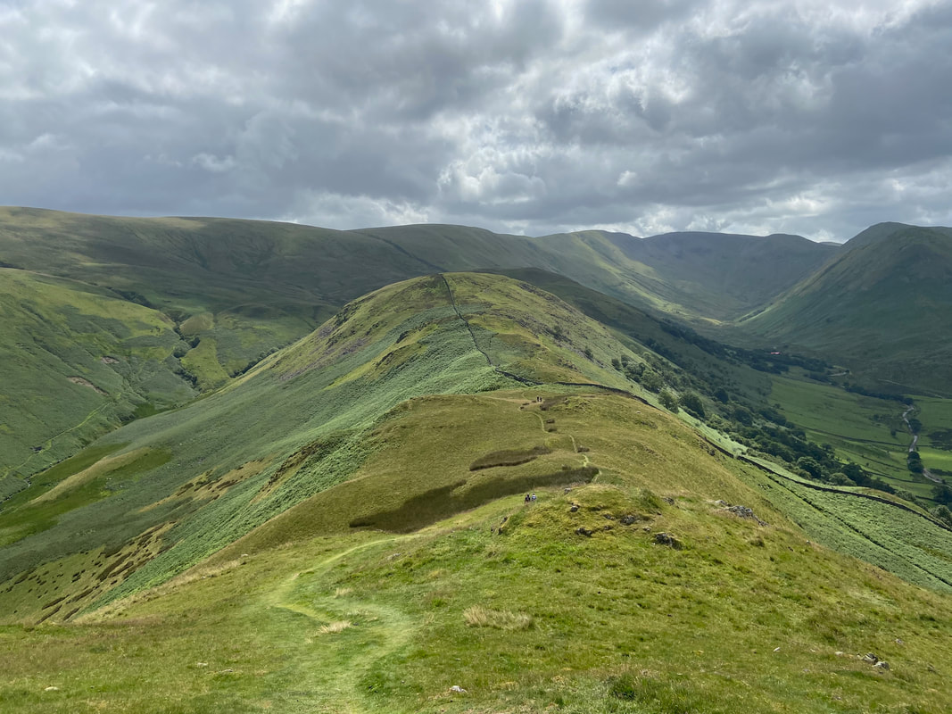
Once the climbing is over there is a delightful walk along the ridge to the summit of Steel Knotts
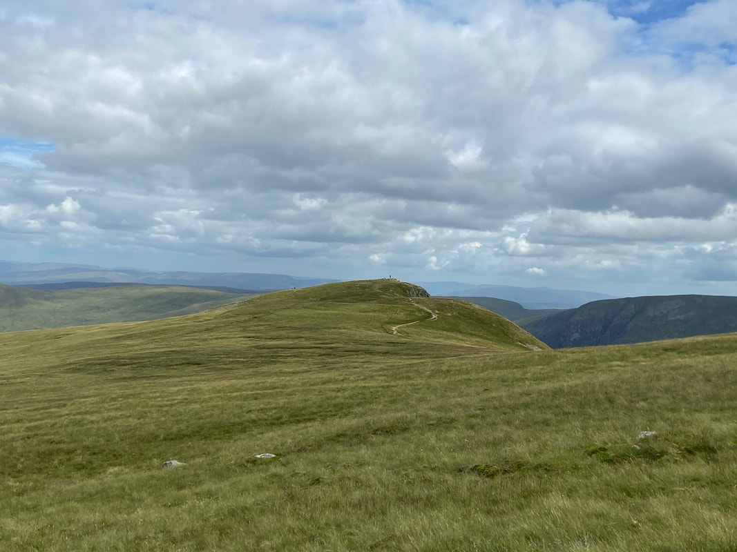
The summit pinnacle of Steel Knotts which is also known as Pikeawassa
Beda Fell from Steel Knotts
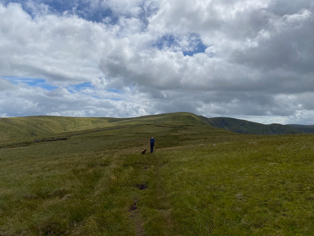
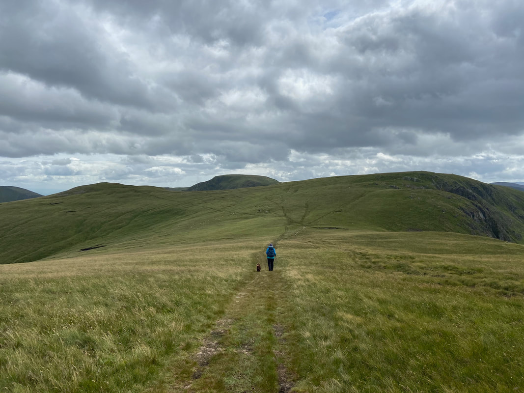
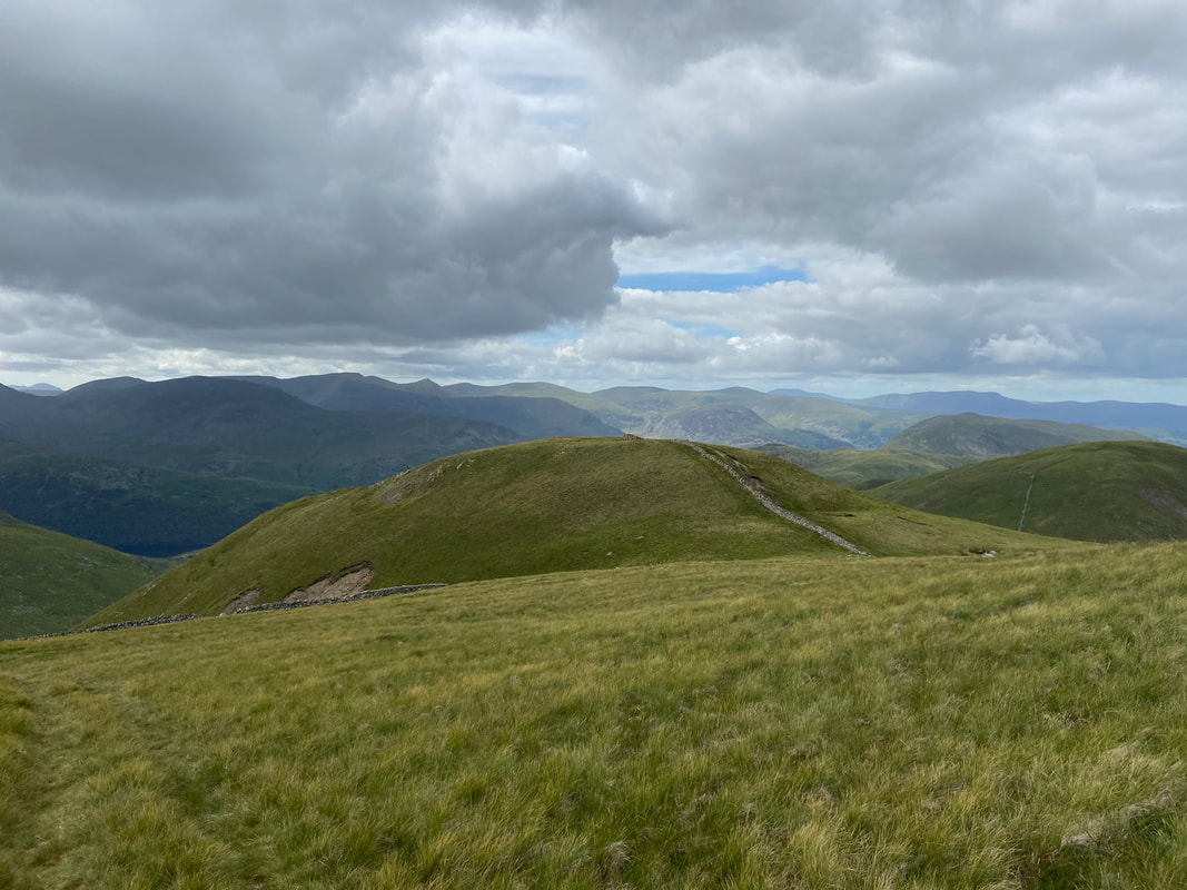
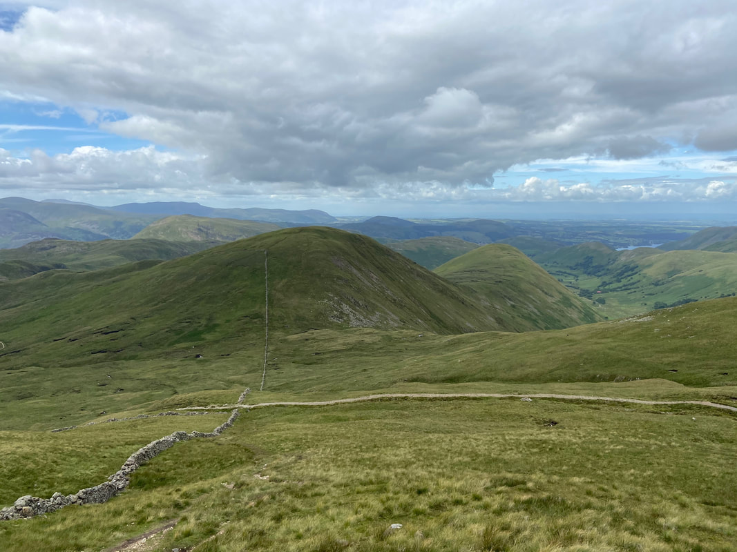
From Steel Knotts we had originally intended to drop back down into Martindale and return via Beda Fell however it was such a nice day we decided to carry on over to the Birkett of Brownthwaite Crag which is ahead with Fusedale to the left. From there we would return to Patterdale via High Raise & Hartsop.
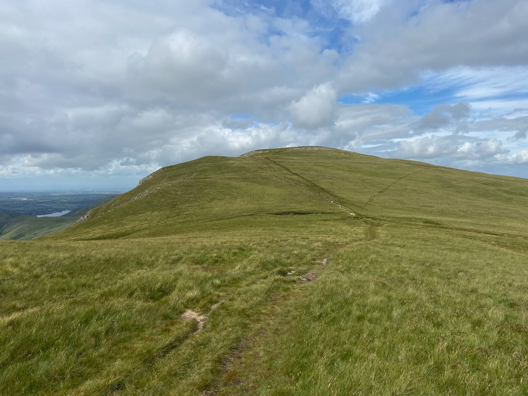
Looking back to Steel Knotts from the ascent of Brownthwaite Crag
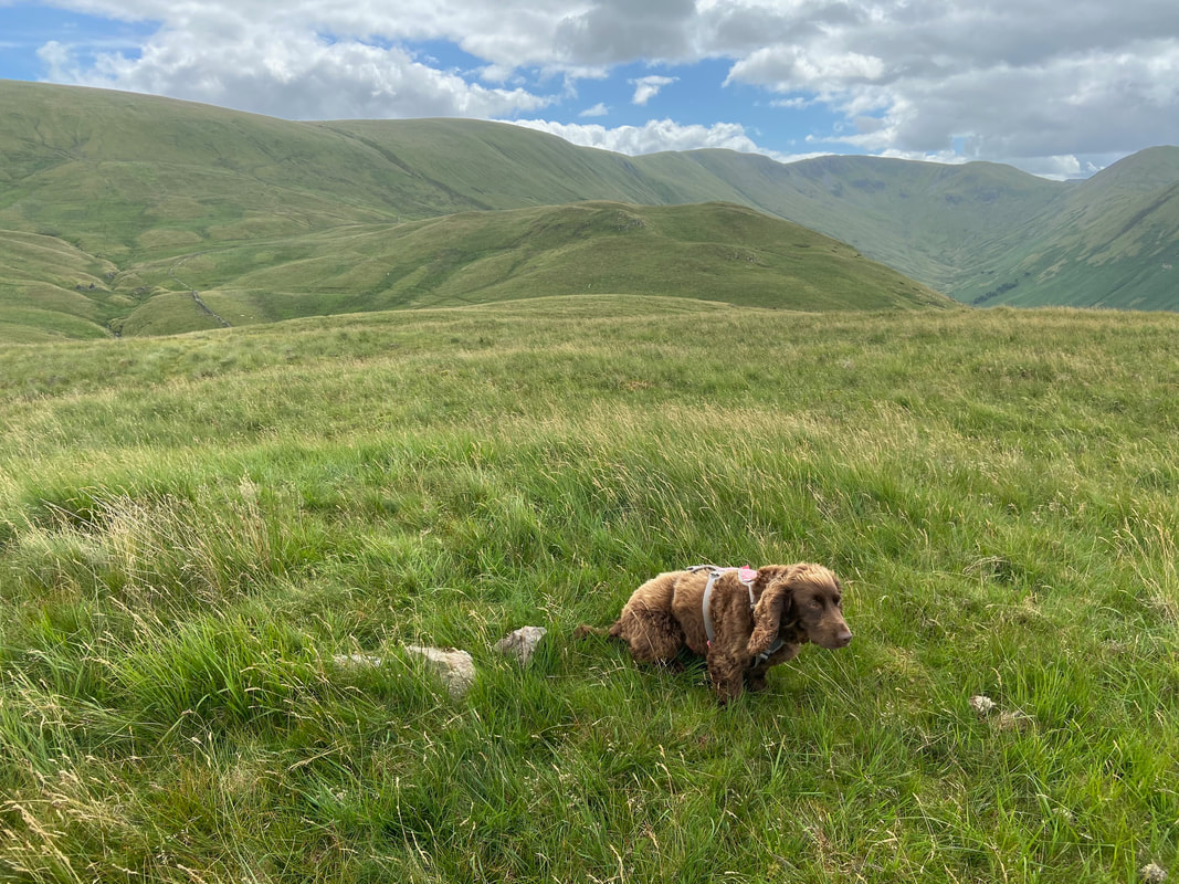
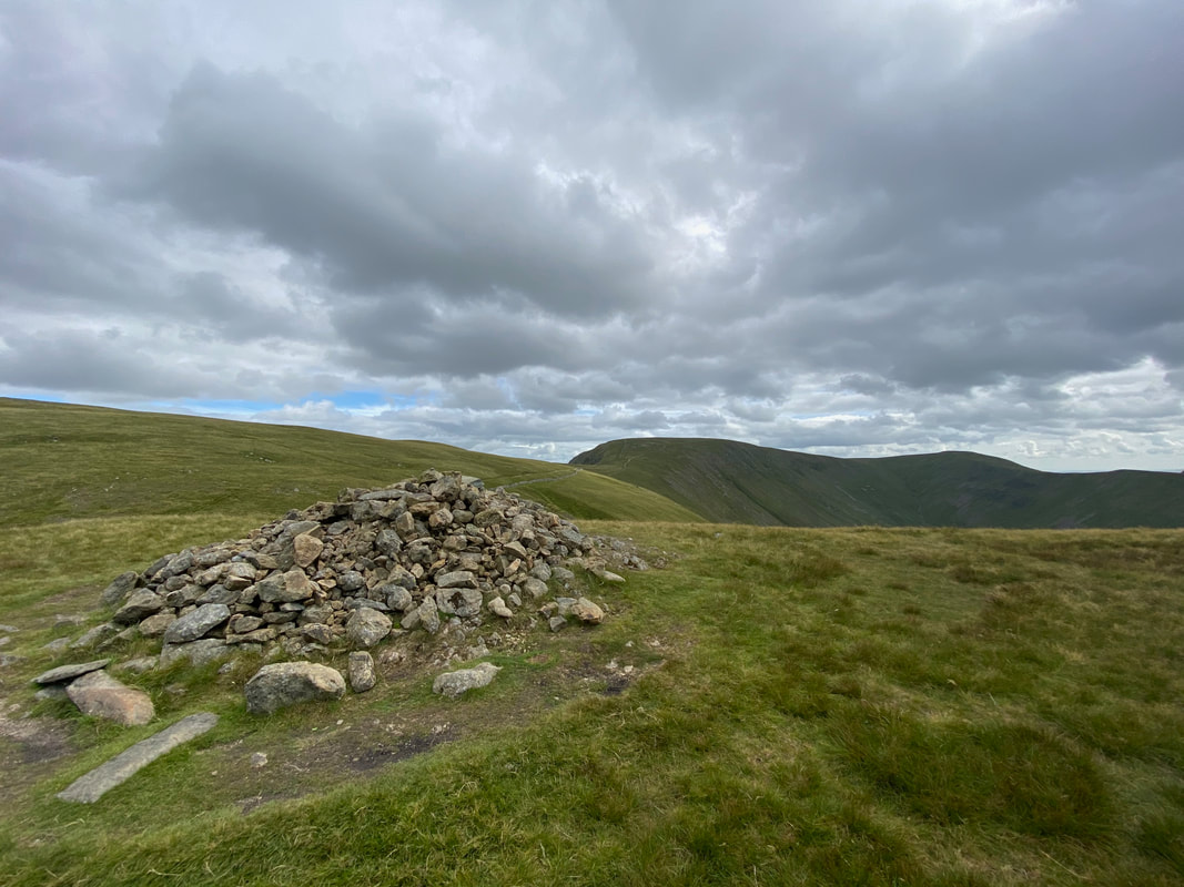
Fudge looking particularly unimpressed with the cairn on the summit of Brownthwaite Crag
From Brownthwaite Crag we now headed for Gowk Hill which is another Birkett
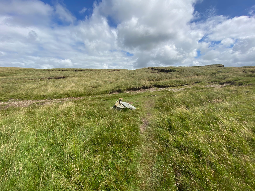
The summit of Gowk Hill.
From the summit we would head down to the left before transiting to the right across the western slopes of Wether Hill.
From the summit we would head down to the left before transiting to the right across the western slopes of Wether Hill.
Brownthwaite Crag & Steel Knotts from the western slopes of Wether Hill
After a short, sharp pull the gradient levels out to reach a path junction to the south of Wether Hill's summit with Mere Beck to the left.
The path junction above Fusedale.
Wether Hill's summit can be reached by heading left via a quick 1 mile out & back from this point. We gave it a miss today and headed to the right.
Wether Hill's summit can be reached by heading left via a quick 1 mile out & back from this point. We gave it a miss today and headed to the right.
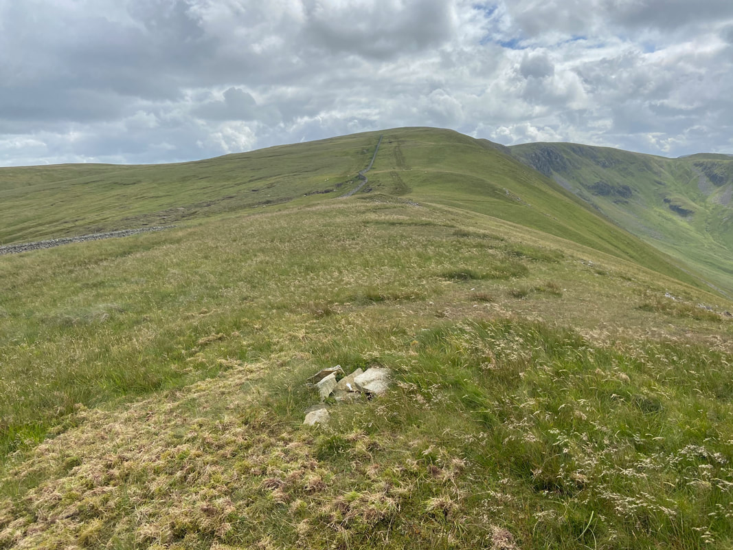
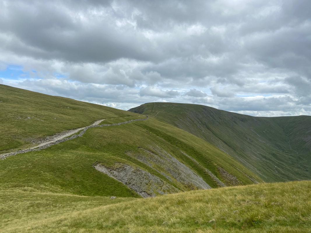
Heading along the Roman Road of High Street with Low Raise to the left, High Raise centre and Rampsgill Head to the right.
The summit of Red Crag
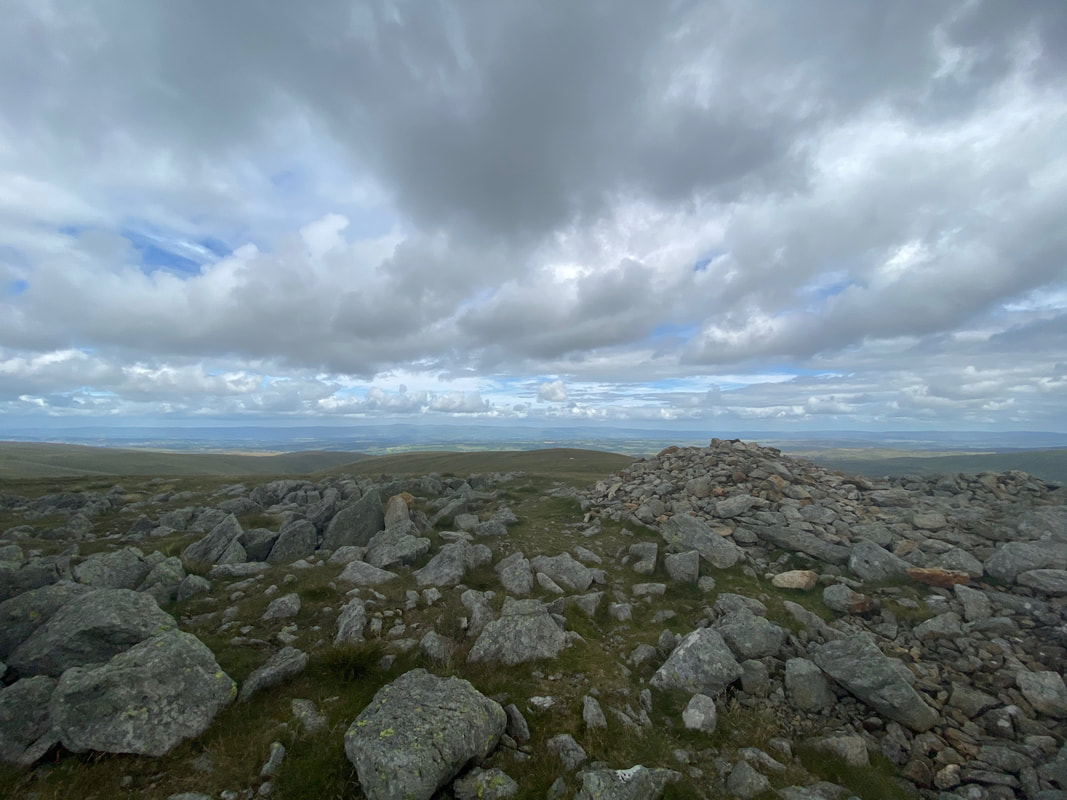
The summit of High Raise
From High Raise there is the option to incorporate Kidsty Pike into the walk which is the peak to the left.
We did not bother today and instead headed right to Rampsgill Head. High Street can be seen in the centre.
We did not bother today and instead headed right to Rampsgill Head. High Street can be seen in the centre.
Looking back to High Raise from the saddle
Kidsty Pike
The summit of Rampsgill Head
The Knott with Rest Dodd to the right.
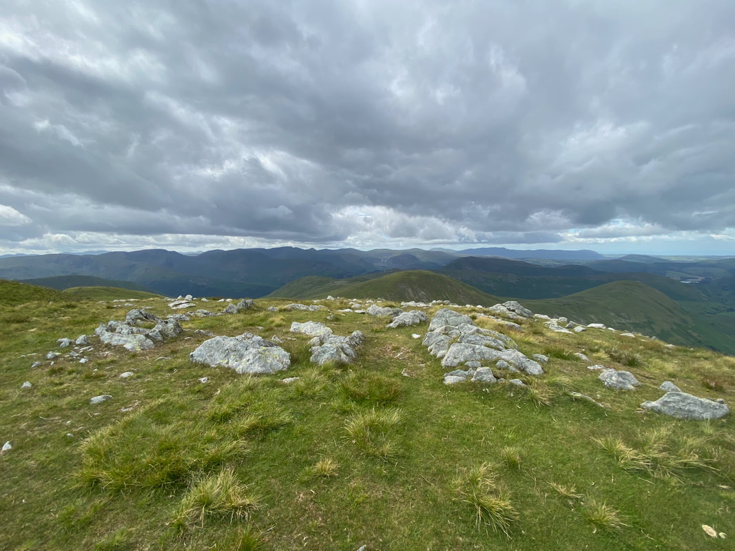
The Helvellyn range is left of centre with the Dodds centre right. Blencathra is to the far right.
The Helvellyn range is left of centre with the Dodds centre right. Blencathra is to the far right.
Looking to High Street along the Straits of Riggindale from The Knott
The summit of The Knott
High Raise & Rampsgill Head from The Knott.
The ascent of The Knott is optional and can be bypassed by using the path seen below which skirts the northern side of the fell.
The ascent of The Knott is optional and can be bypassed by using the path seen below which skirts the northern side of the fell.
Descending The Knott looking to Rest Dodd and The Nab.
The path skirting the fell can be seen coming around from the right.
The path skirting the fell can be seen coming around from the right.
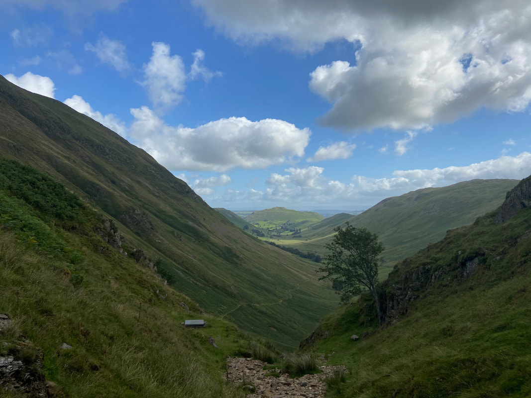
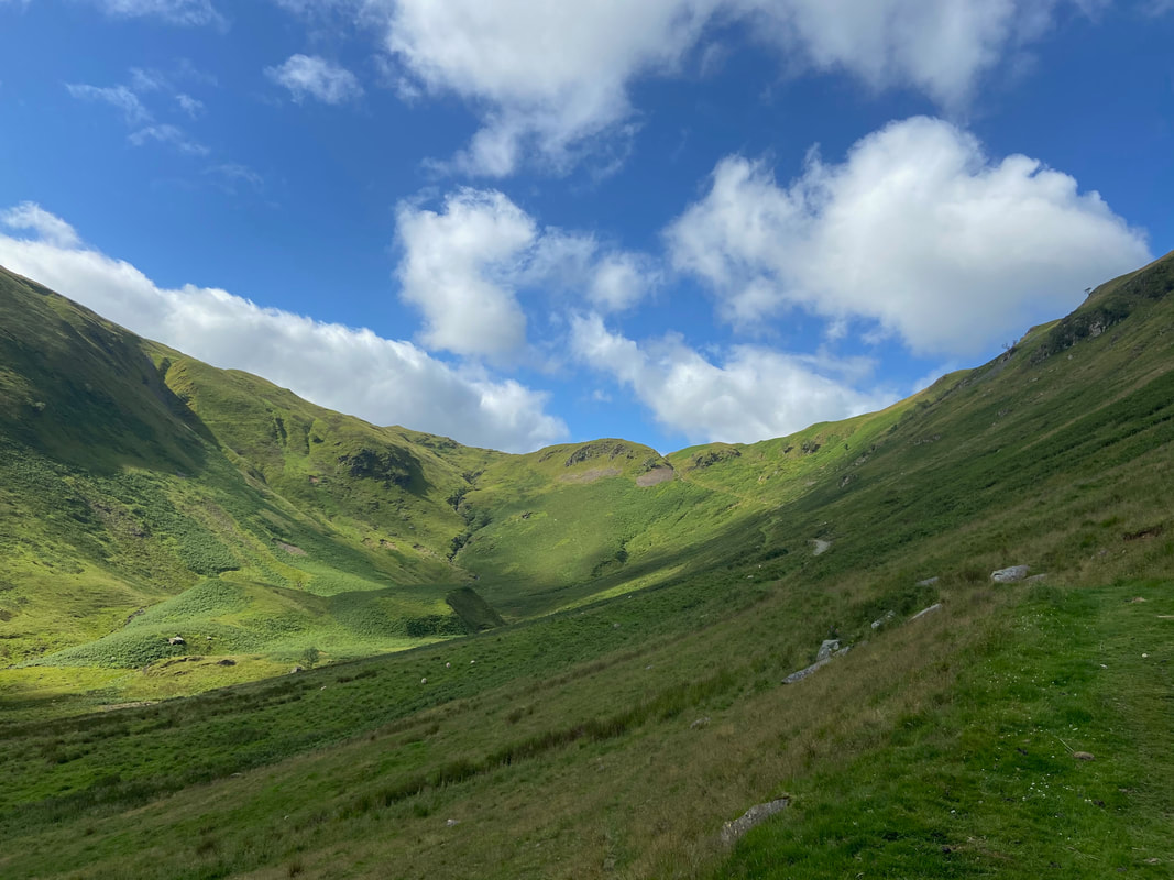
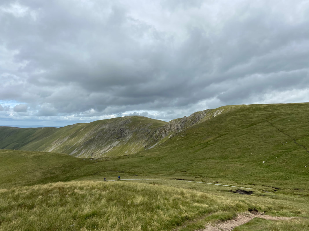
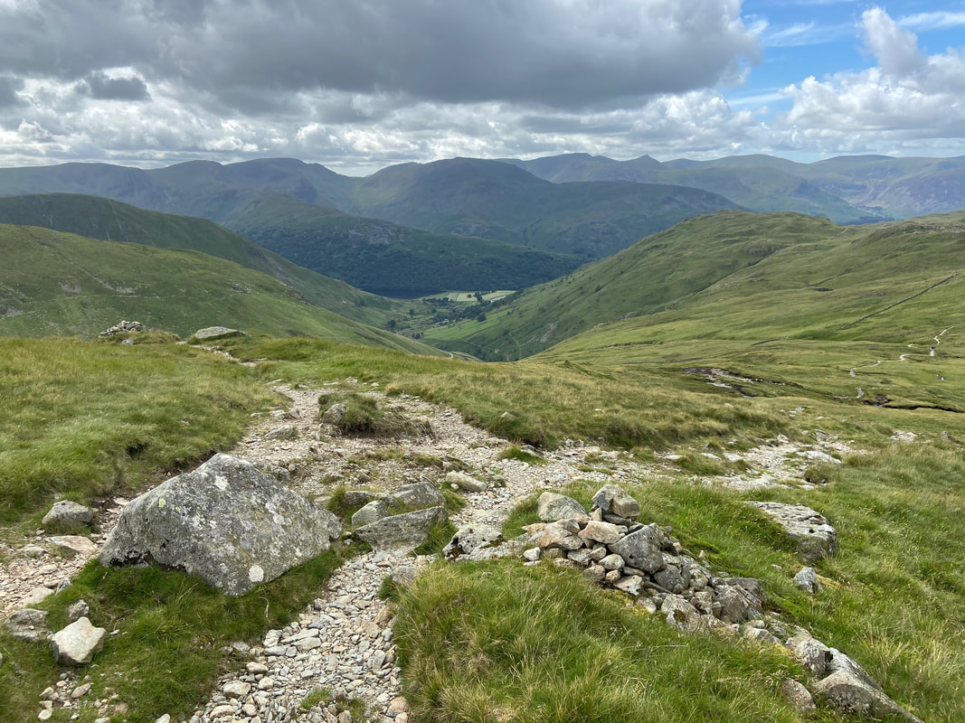
From the descent of The Knott the path is loose and stony. At this junction there are two options for the return to Patterdale. The path to the right is the Coast to Coast path which heads to Angle Tarn via Satura Crag to Boredale Hause. We fancied a change today therefore took the path to the left which heads down to Hayeswater then on to Hartsop.
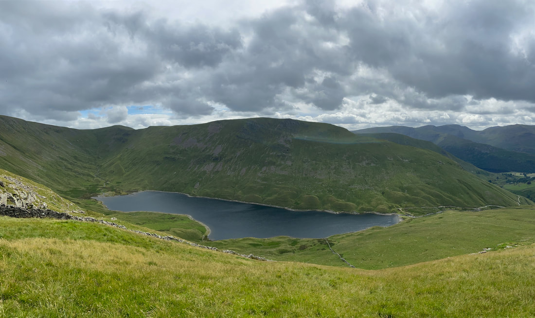
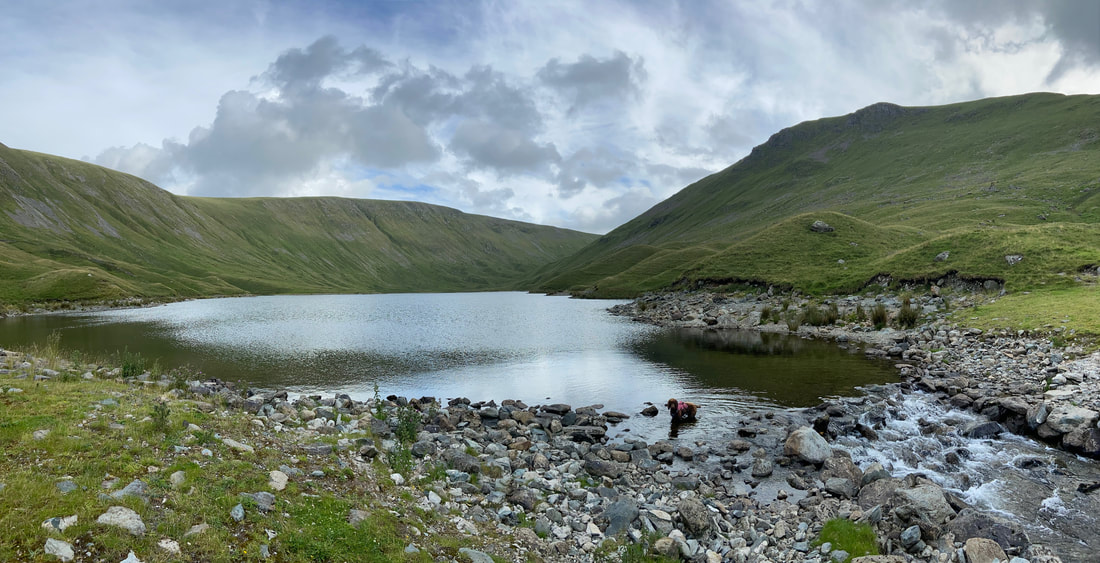
Hayeswater below Gray Crag
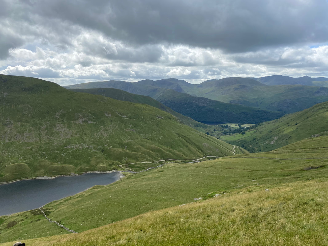
The path to Hayeswater swings around to the right to then heads left to reach the outlet of the reservoir below
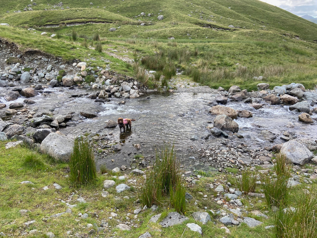
Crossing the outlet of Hayeswater Reservoir. If you don't fancy a paddle there is a bridge 250 yards to the north west.
Hayeswater
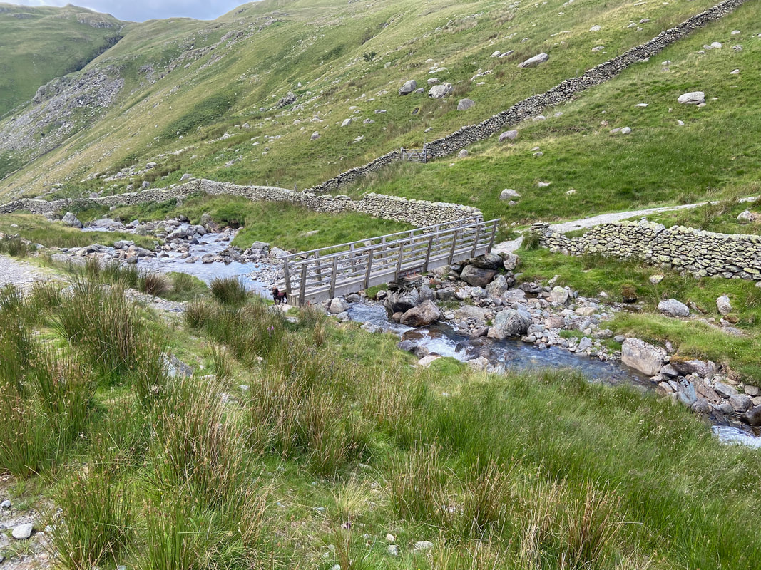
Here is the bridge crossing Hayeswater Gill that can be accessed by staying on the main descent path.
The bridge is at Grid Reference NY 42663 12749.
The bridge is at Grid Reference NY 42663 12749.
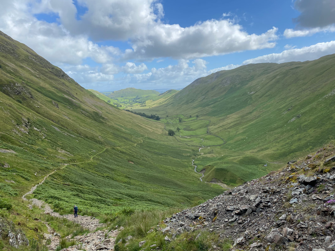
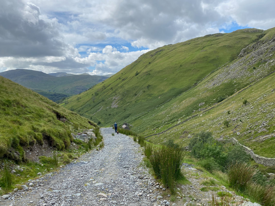
The stony access track leading from Hayeswater to Hartsop
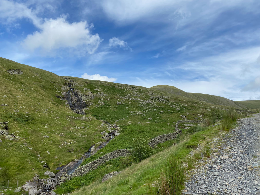
Sulphury Gill Waterfalls
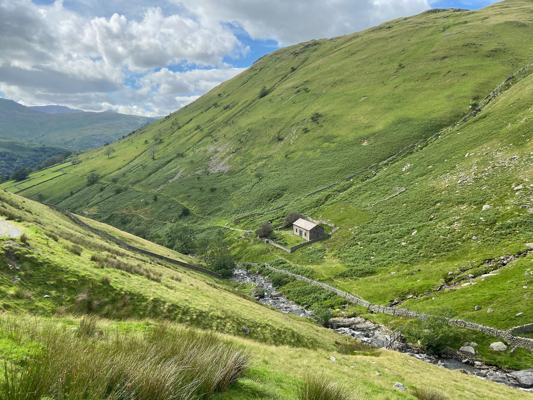
The Hayeswater Filter House
The building housed the equipment used for filtering the water that was abstracted from Hayeswater. The lake stopped being used as a water source in 2005 and the dam was dismantled in 2014 therefore the building is now redundant.
The building housed the equipment used for filtering the water that was abstracted from Hayeswater. The lake stopped being used as a water source in 2005 and the dam was dismantled in 2014 therefore the building is now redundant.
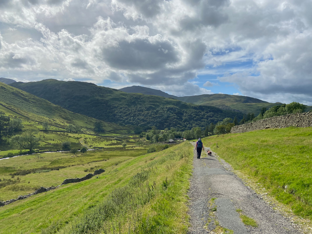
Heading for Hartsop along the Filter House access track
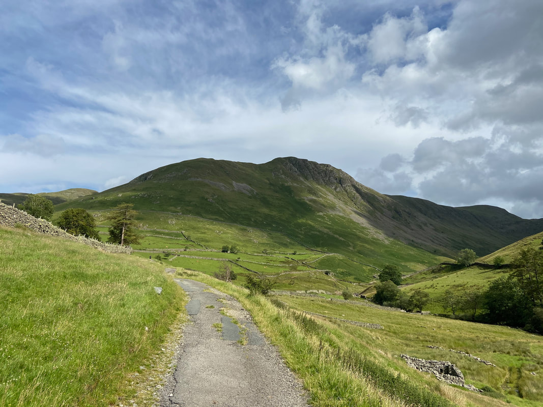
Gray Crag
Hartsop Dodd
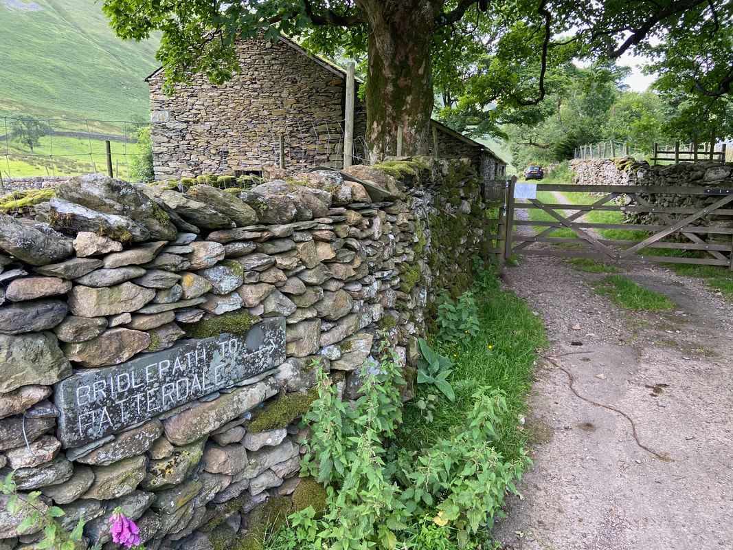
Once we had passed through the village of Hartsop we turned right by the Langton Adventure Centre to begin our return to Patterdale.
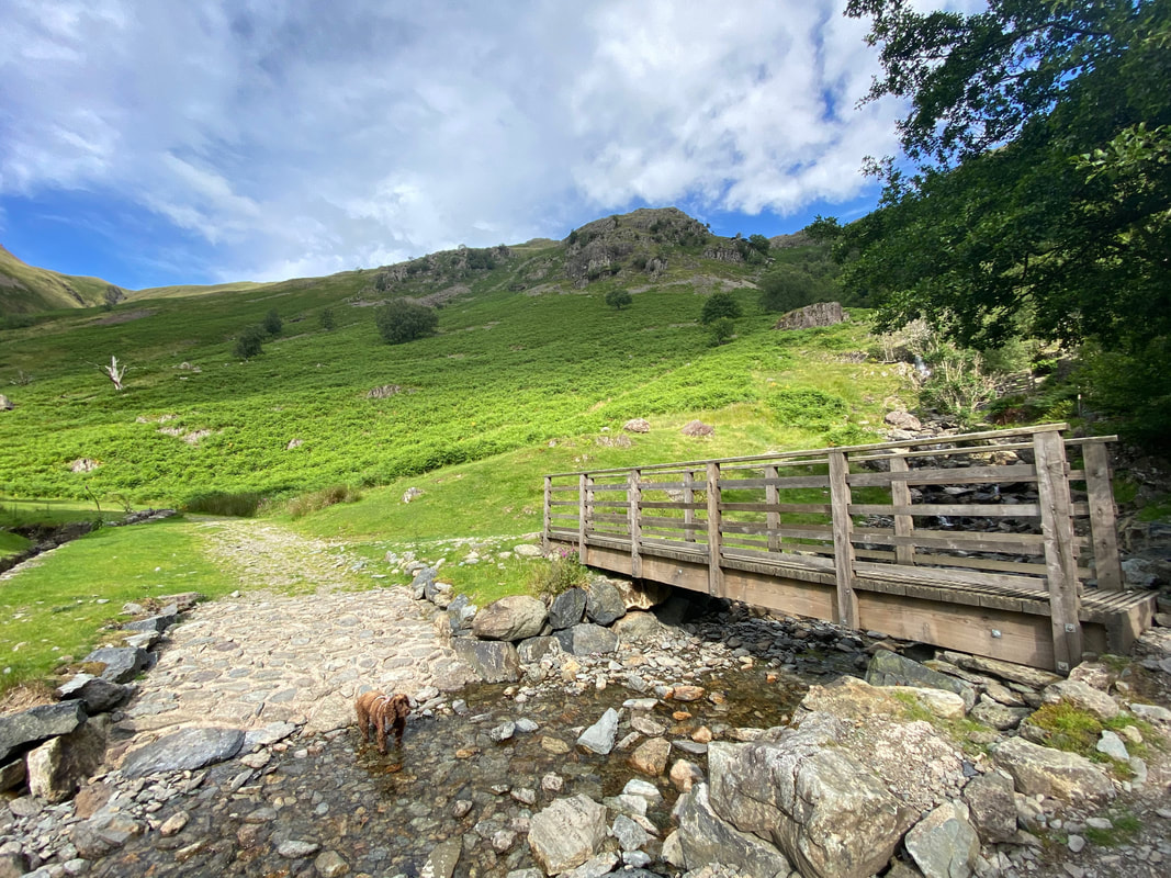
The bridge & ford over Angletarn Beck
Dubhow Crag
How times have changed - St Patrick's Church in Patterdale.
