The Old Man of Stoer & Sithean Mor - Monday 25 April 2022
Route
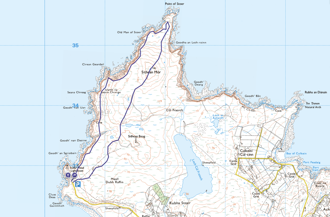
Stoer Head - Uamh na Seana Chreige - Cirean Geardail - Old Man of Stoer - Point of Stoer - Sithean Mor - Stoer Head
Parking
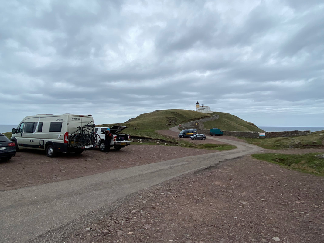
Free parking in two adjacent areas at Stoer Head Lighthouse where there is room for about 16 or so cars. The Grid Reference is NC 00460 32739 and the nearest postcode is IV27 4JH. The postcode will only take you as far as Raffin however the Car Park is a further mile along the road to the north west.
Mileage
4.6 miles
Terrain
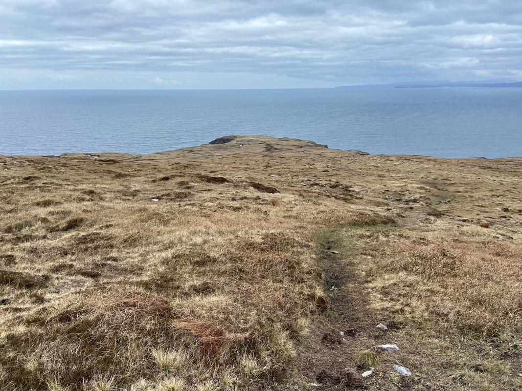
Grassy paths and tracks. Care needs to be taken along the coastal section as there are steep drops. Some paths are intermittent, however in good visibility the route is easy to follow. If the visibility is poor then it is best to save this walk for a better day.
Weather
Overcast, good visibility & light breezes.
Time Taken
2hrs 20mins
Total Ascent
770ft (235m)
Map
OS Explorer 442 Assynt & Lochinver
Walkers
Dave, Angie & Fudge
|
GPX File
|
| ||
If the above GPX file fails to download or presents itself as an XML file once downloaded then please feel free to contact me and I will send you the GPX file via e-mail.
Route Map
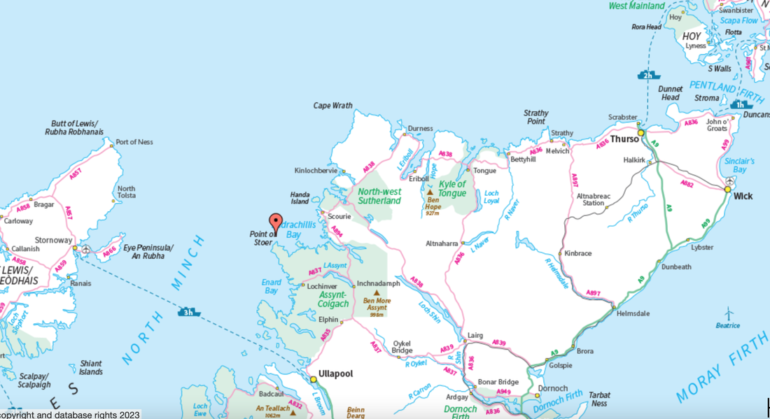
This map gives a better indication as to where this walk is located - Scotland is a big place!!
The two parking areas just below Stoer Head Lighthouse
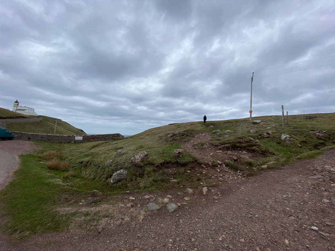
A path leaves to the left of a track in between both Car Parks
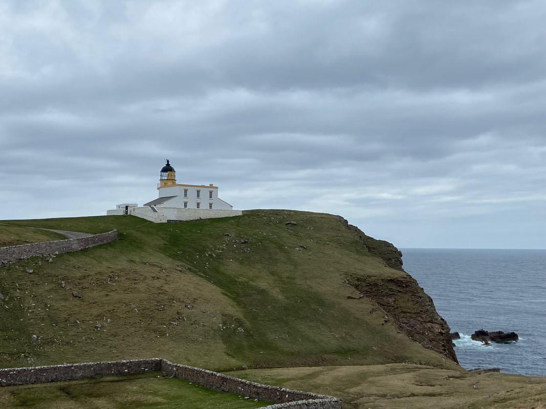
Stoer Head Lighthouse
The lighthouse was built by brothers David and Thomas Stevenson in 1870 after being identified as one of 45 sites in Scotland where a lighthouse was necessary to protect shipping. The lighthouse is 45 feet (14 m) high, making it look quite squat in appearance but the height of the cliffs on which it sits means it can be seen at a distance of 24 miles (39 km) out at sea. The lighthouse was manned until 1978 and is now automated. The building is now 2 holiday apartments and the website is here
The lighthouse was built by brothers David and Thomas Stevenson in 1870 after being identified as one of 45 sites in Scotland where a lighthouse was necessary to protect shipping. The lighthouse is 45 feet (14 m) high, making it look quite squat in appearance but the height of the cliffs on which it sits means it can be seen at a distance of 24 miles (39 km) out at sea. The lighthouse was manned until 1978 and is now automated. The building is now 2 holiday apartments and the website is here
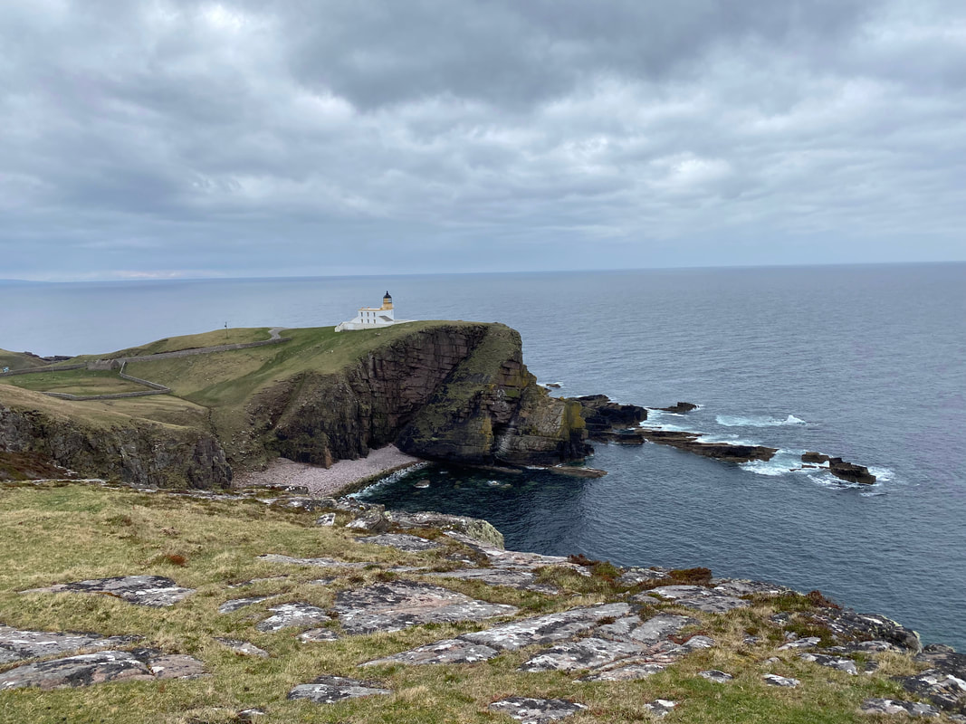
Looking back to Stoer Head Lighthouse
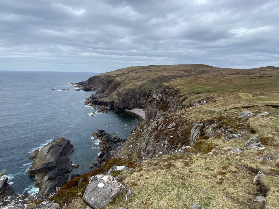
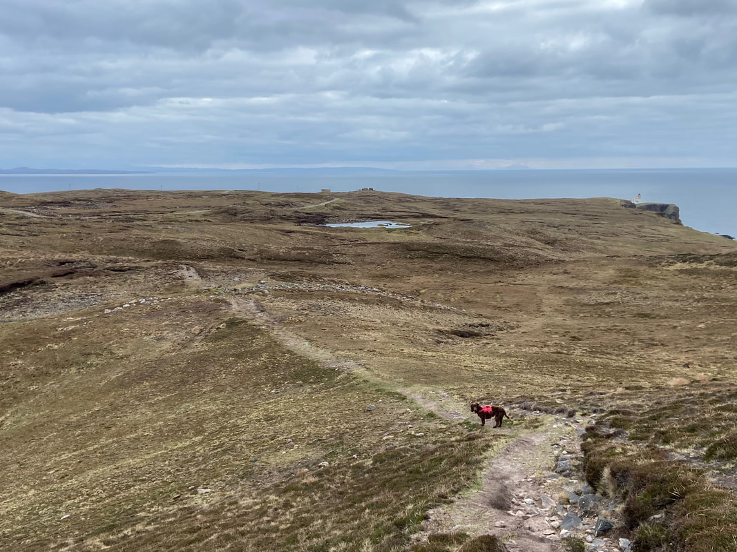
The rest of the outward section of the walk stretches out ahead of us
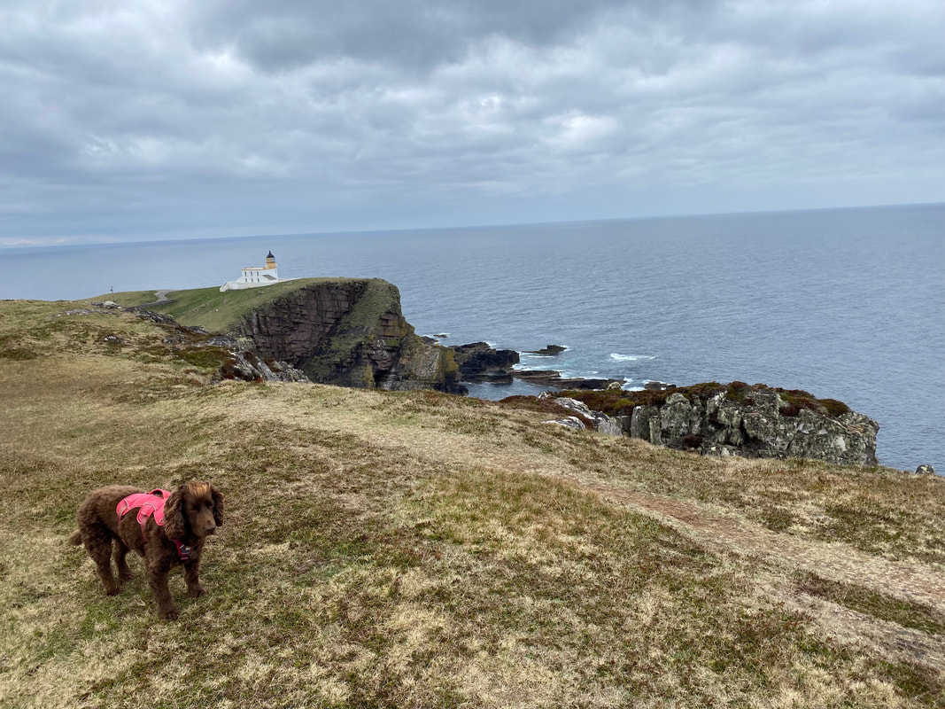
Fudge with his game face on. Sometimes the path gets a little bit too near the edge of the cliffs therefore when this happened Fudge was put on his lead.
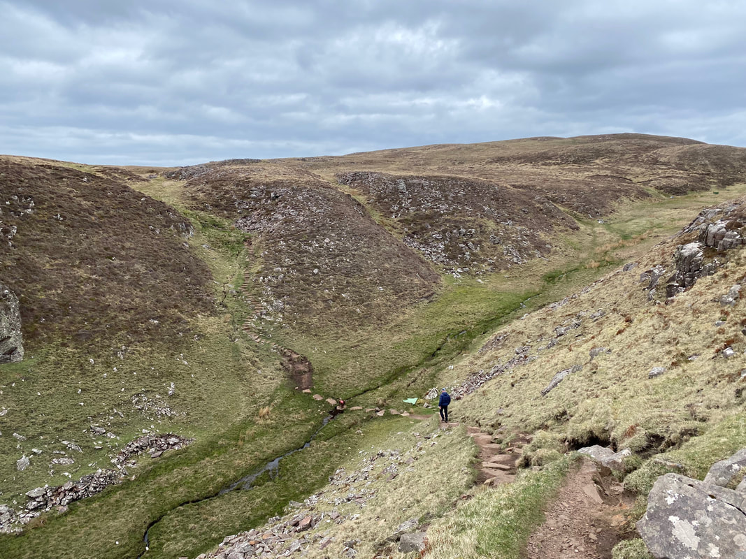
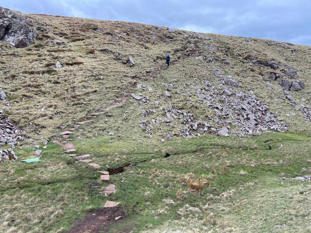
At Geodh' nan Daoine the route drops into a grassy gully on a stepped path
Angie descends into the grassy gully
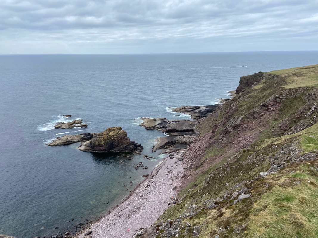
A fishing boat chugs past as we continue along the cliff top path
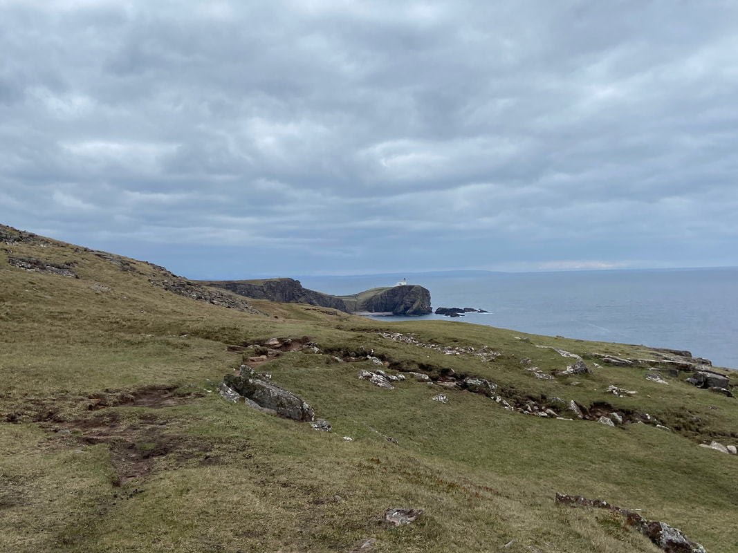
Stoer Head Lighthouse gets further away to the rear as we continue along the coast
During a break in proceedings Fudge sits on Angie's feet and contemplates his next meal time
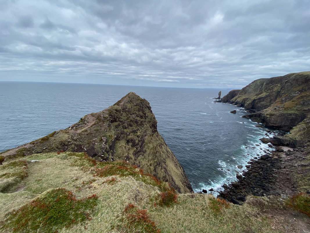
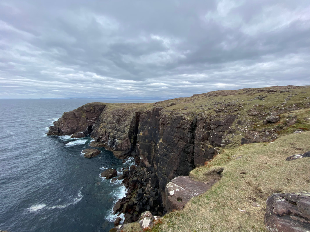
The promontory of Cirean Geardail with The Old Man of Stoer now in view
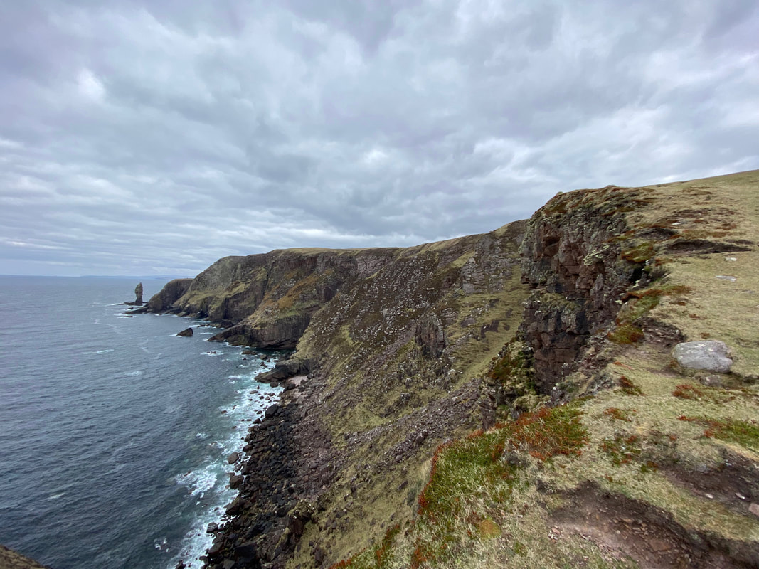
The Old Man of Stoer from near Cirean Geardail
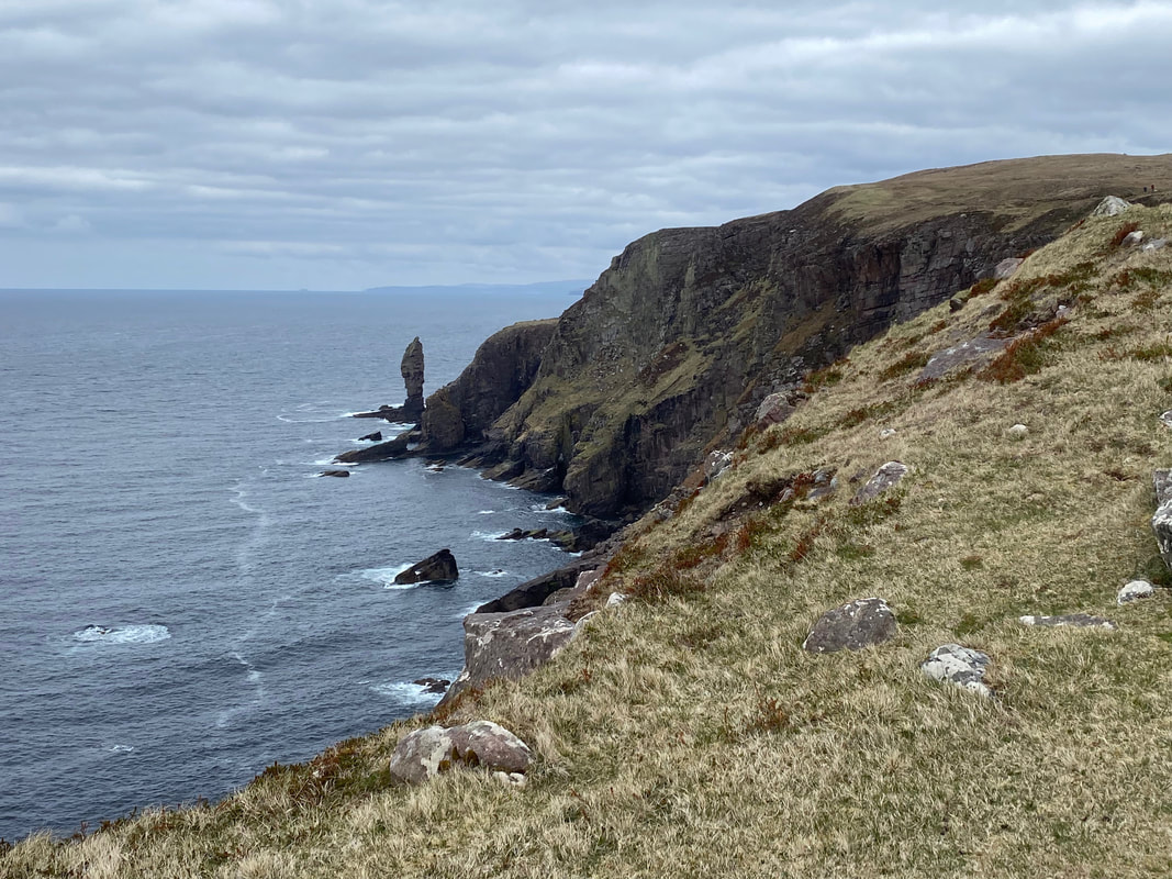
The Old Man of Stoer looms larger as we near it
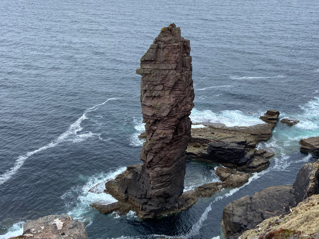
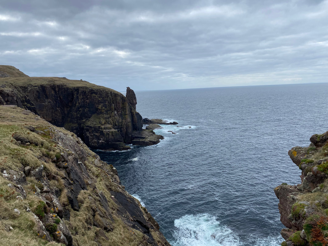
The Old Man of Stoer
This amazing sea stack is made of Torridonian Sandstone and is 200ft (60m) high. It was first climbed in 1966 by a group of climbers including Dr Tom Patey. As can be seen from the photograph, it is cut off from the mainland and therefore requires a manoeuvre known as a "Tryrolean Traverse" usually involving a swimmer to put it in place.
This amazing sea stack is made of Torridonian Sandstone and is 200ft (60m) high. It was first climbed in 1966 by a group of climbers including Dr Tom Patey. As can be seen from the photograph, it is cut off from the mainland and therefore requires a manoeuvre known as a "Tryrolean Traverse" usually involving a swimmer to put it in place.
A short video of The Old Man of Stoer (click Play to view)
Looking to the Point of Stoer from The Old Man
Looking back to The Old Man of Stoer from the path to the Point of Stoer
Another short video of The Old Man of Stoer (click Play to view)
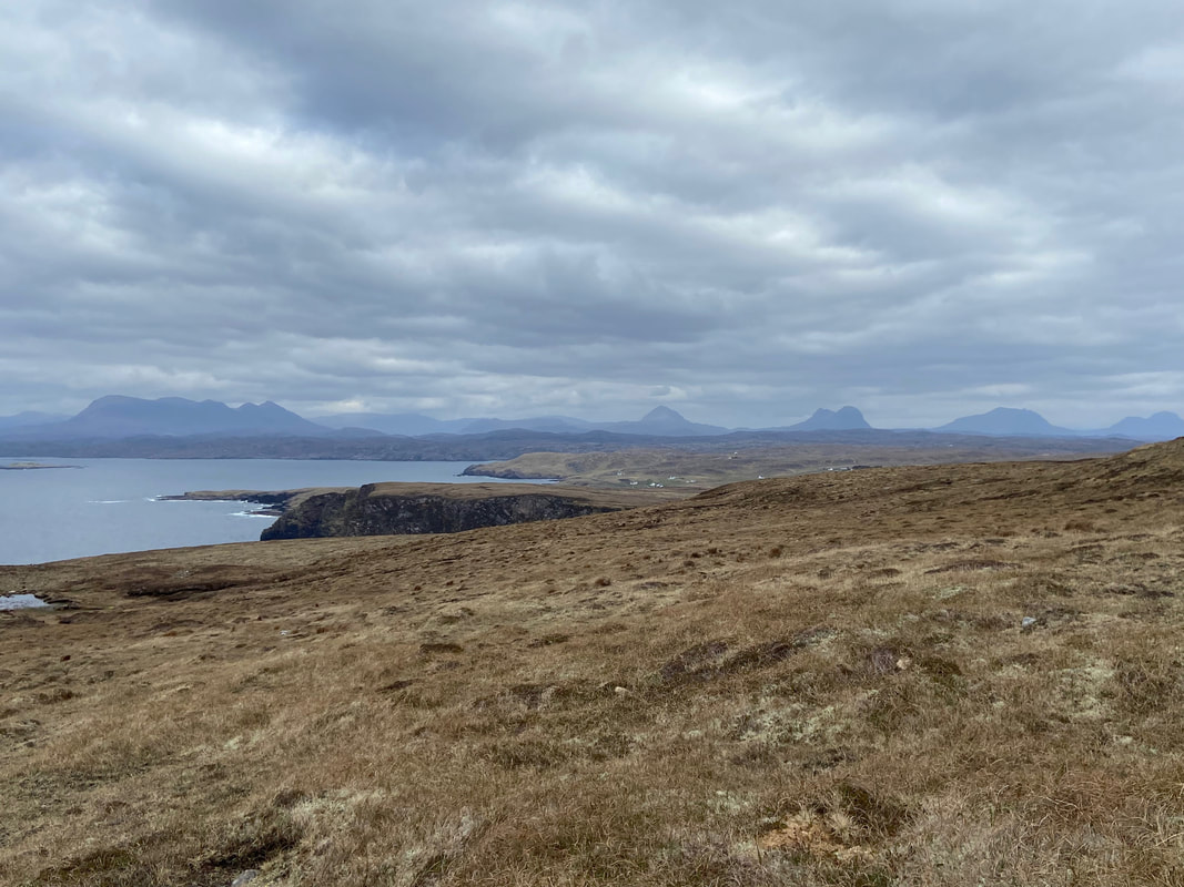
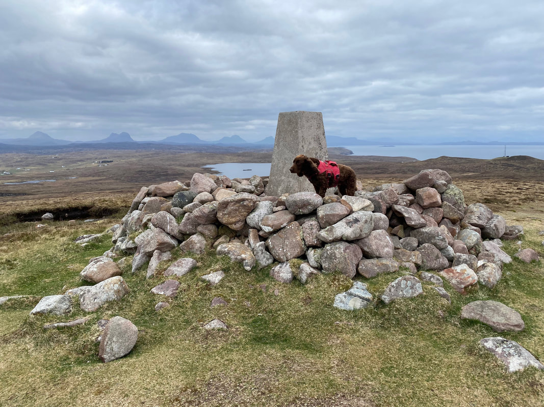
The superb view back towards the village of Culkein with the mountains of Quinag, Canisp, Suilven, Cul Mor & Cul Beag in view
Looking back to the Point of Stoer from the ascent of Sithean Mor
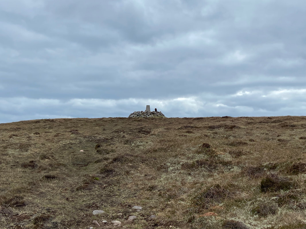
Approaching the summit of Sithean Mor and someone is up there already
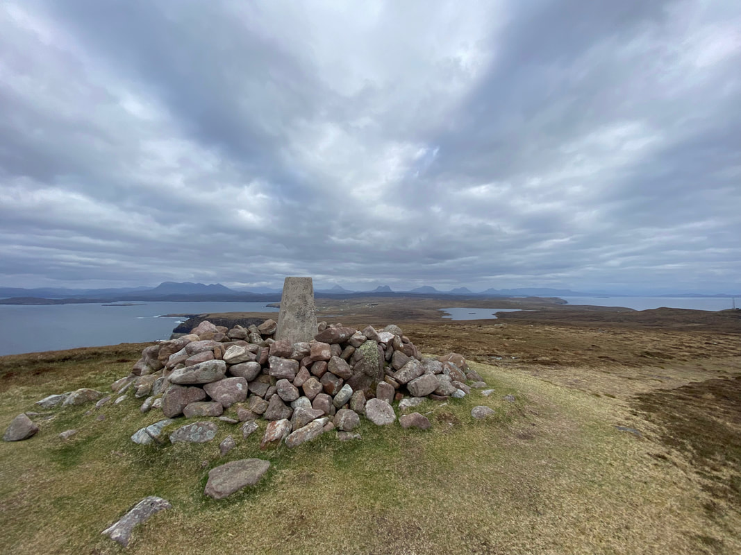
The summit of Sithean Mor and what a view
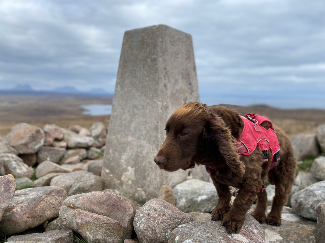
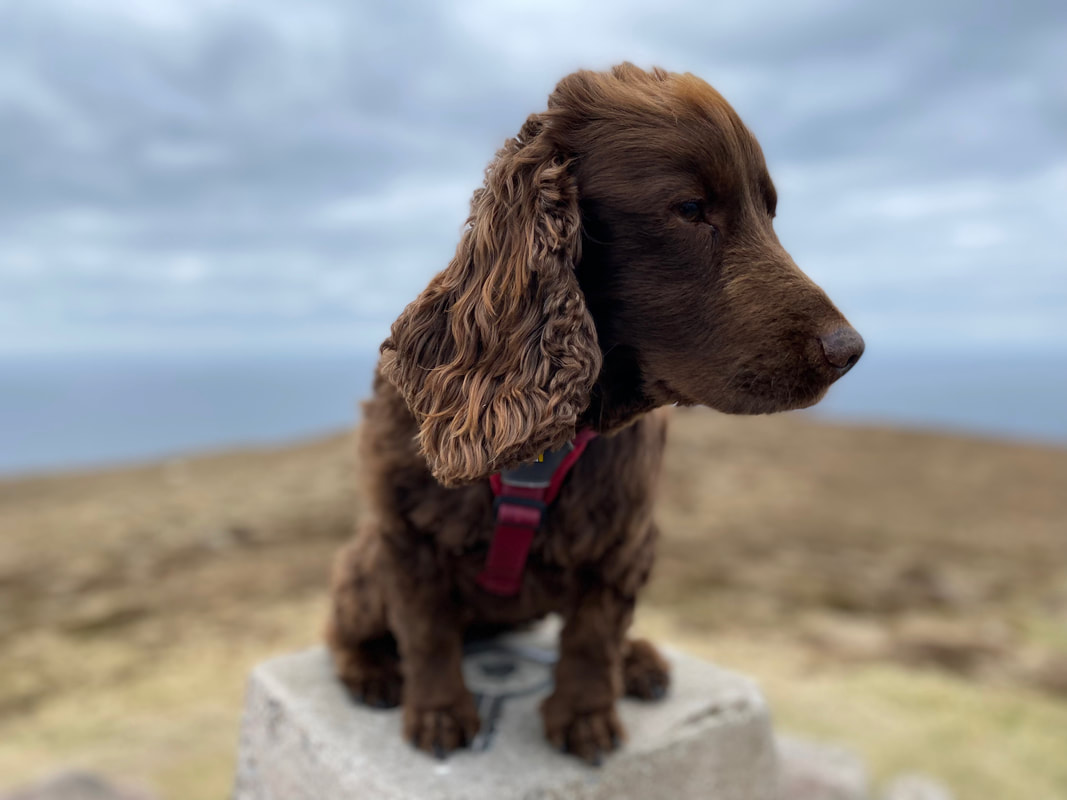
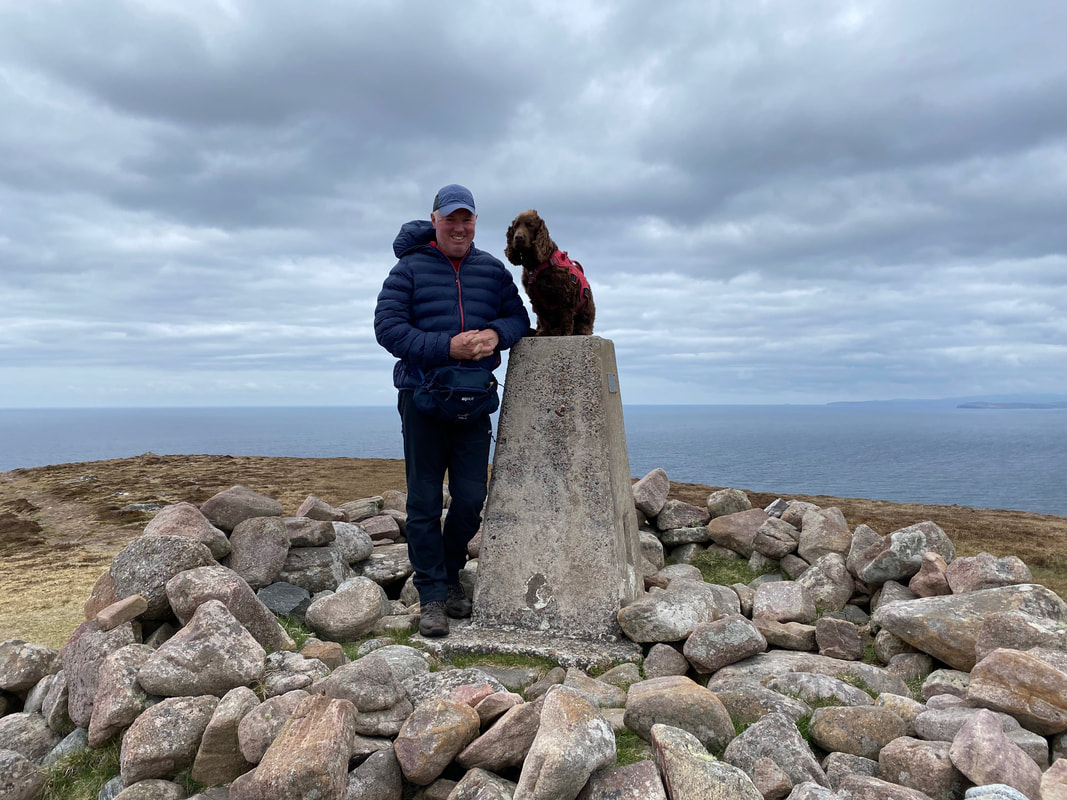
As usual Fudge was happy to pose but as for looking at the camera - well that's a bit too much to ask of him sometimes.
Fudge on the summit of Sithean Mor
With one of my two closest friends on the summit of Sithean Mor
The summit of Sithean Mor - this time without any humans or dogs in shot
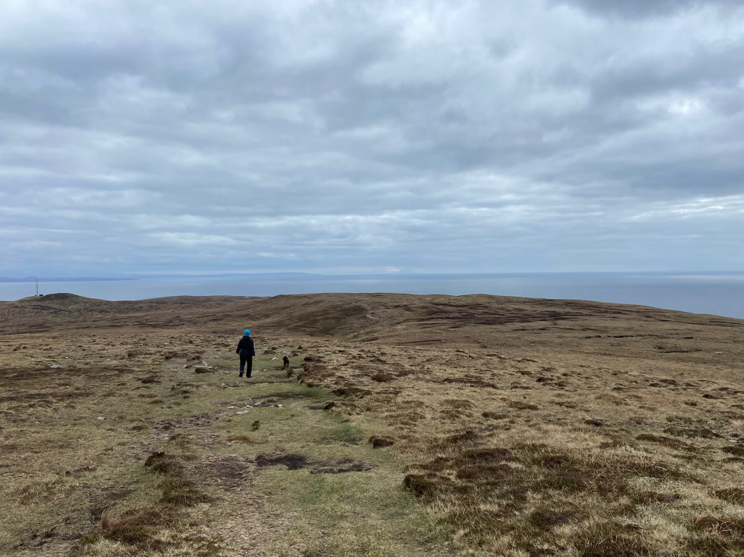
A good path leaves the summit of Sithean Mor and keeps to the high ground aiming for the hillocks to the right of Sidhean Beag and its mast. The going is pretty good with just the odd boggy area to negotiate.
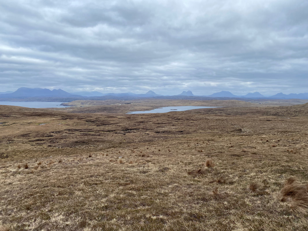
Looking down to Loch Cul Fraioch
The path becomes more distinct as it nears the mast access track which can be seen below left
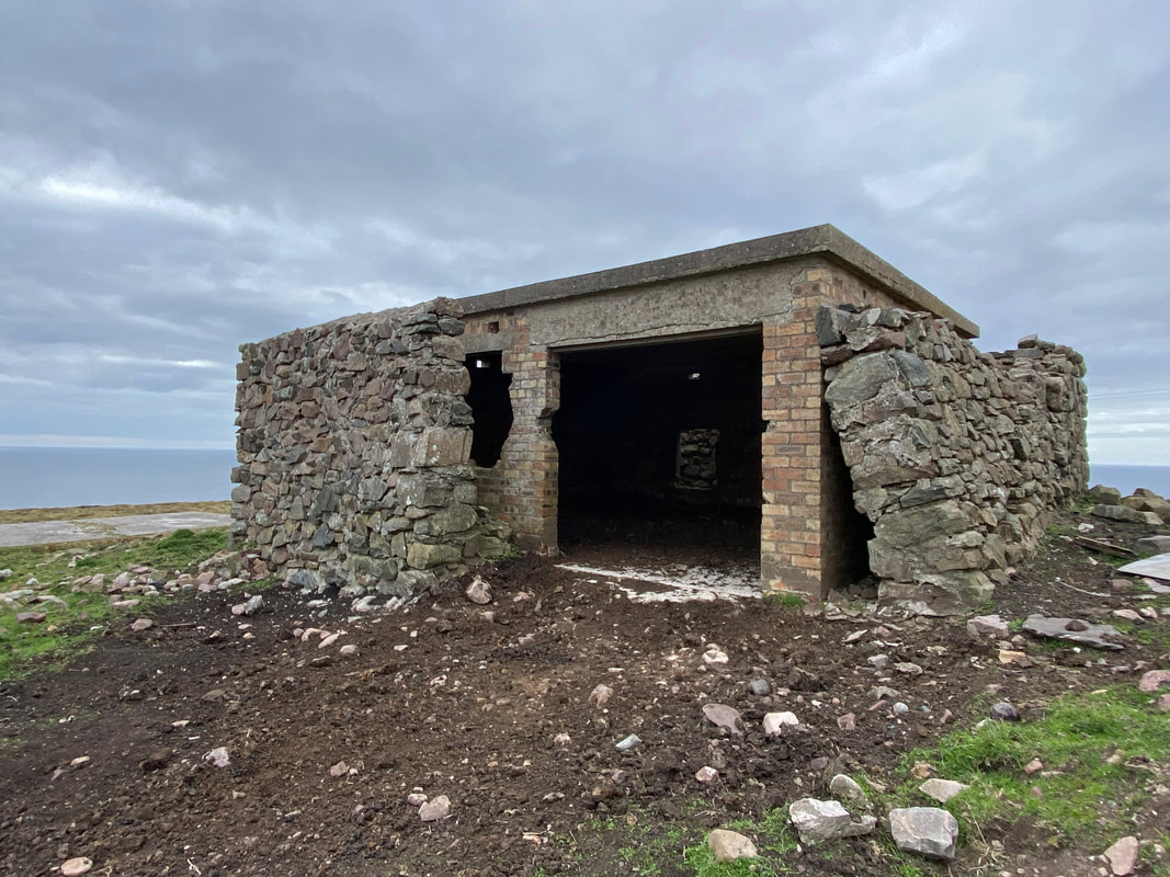
Near the end of the walk on the mast access track we passed the remains of a World War Two radar station.
