Blencathra & Mungrisdale Common - Friday 7 February 2020
Route
Blencathra Centre - Blease Fell - Knowe Crags - Gategill Fell - Blencathra (Hallsfell Top) - White Cross - Atkinson Pike - Foule Crag - Mungrisdale Common - Cloven Stone - The Stake - Cumbria Way - Roughten Gill - Blencathra Centre
Parking
Parking Area (Free) just north of the Blencathra Centre - Grid Ref NY302257 (Nearest Post Code CA12 4SG)
Mileage
8 miles
Terrain
Good mountain paths throughout. The transit over Mungrisdale Common has a reputation to be extremely boggy - in my opinion this is vastly over-egged. It can be slightly squelchy but nothing more than that.
Weather
Clear skies with strong winds on the ridges - the visibility was very good.
Time Taken
5hrs 40mins
Total Ascent
2392ft (729m)
Wainwrights
2
Map
OL5 - The English Lakes (North Eastern Area)
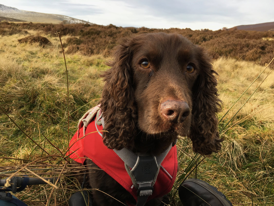
Walkers
Dave, Angie & Fudge
Blencathra Centre - Blease Fell - Knowe Crags - Gategill Fell - Blencathra (Hallsfell Top) - White Cross - Atkinson Pike - Foule Crag - Mungrisdale Common - Cloven Stone - The Stake - Cumbria Way - Roughten Gill - Blencathra Centre
Parking
Parking Area (Free) just north of the Blencathra Centre - Grid Ref NY302257 (Nearest Post Code CA12 4SG)
Mileage
8 miles
Terrain
Good mountain paths throughout. The transit over Mungrisdale Common has a reputation to be extremely boggy - in my opinion this is vastly over-egged. It can be slightly squelchy but nothing more than that.
Weather
Clear skies with strong winds on the ridges - the visibility was very good.
Time Taken
5hrs 40mins
Total Ascent
2392ft (729m)
Wainwrights
2
Map
OL5 - The English Lakes (North Eastern Area)
Walkers
Dave, Angie & Fudge
|
GPX File
|
| ||
If the above GPX file fails to download or presents itself as an XML file once downloaded then please feel free to contact me and I will send you the GPX file via e-mail.
Route Map
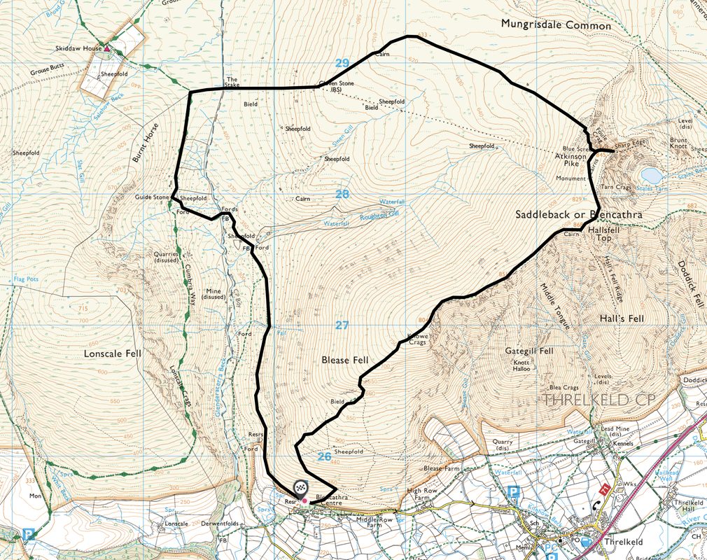
The Car Park near the Blencathra Centre where there is room for about a dozen or so cars.
The final few yards drive up to the parking area is a tad on the lumpy side therefore take it really slow and you should be ok.
The final few yards drive up to the parking area is a tad on the lumpy side therefore take it really slow and you should be ok.
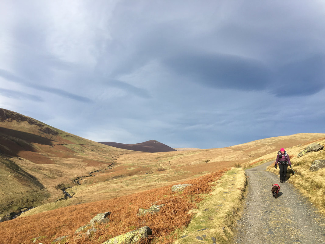
Heading up the lower slopes of Blease Fell.
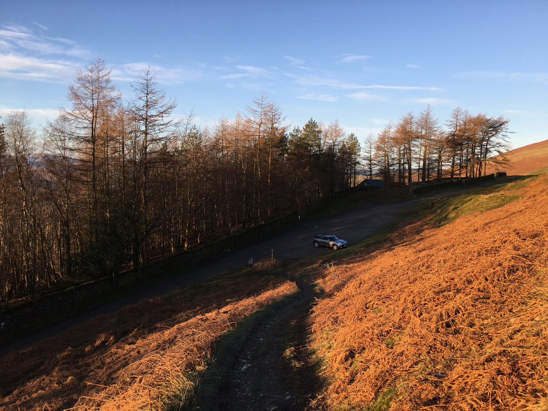
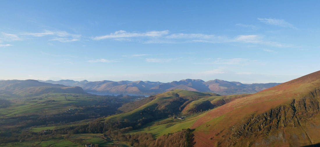
Latrigg is to the right with Walla Crag & Bleaberry Fell to the left. The North Western Fells over Derwent water provide the backdrop.
Latrigg is to the right with Walla Crag & Bleaberry Fell to the left. The North Western Fells over Derwent water provide the backdrop.
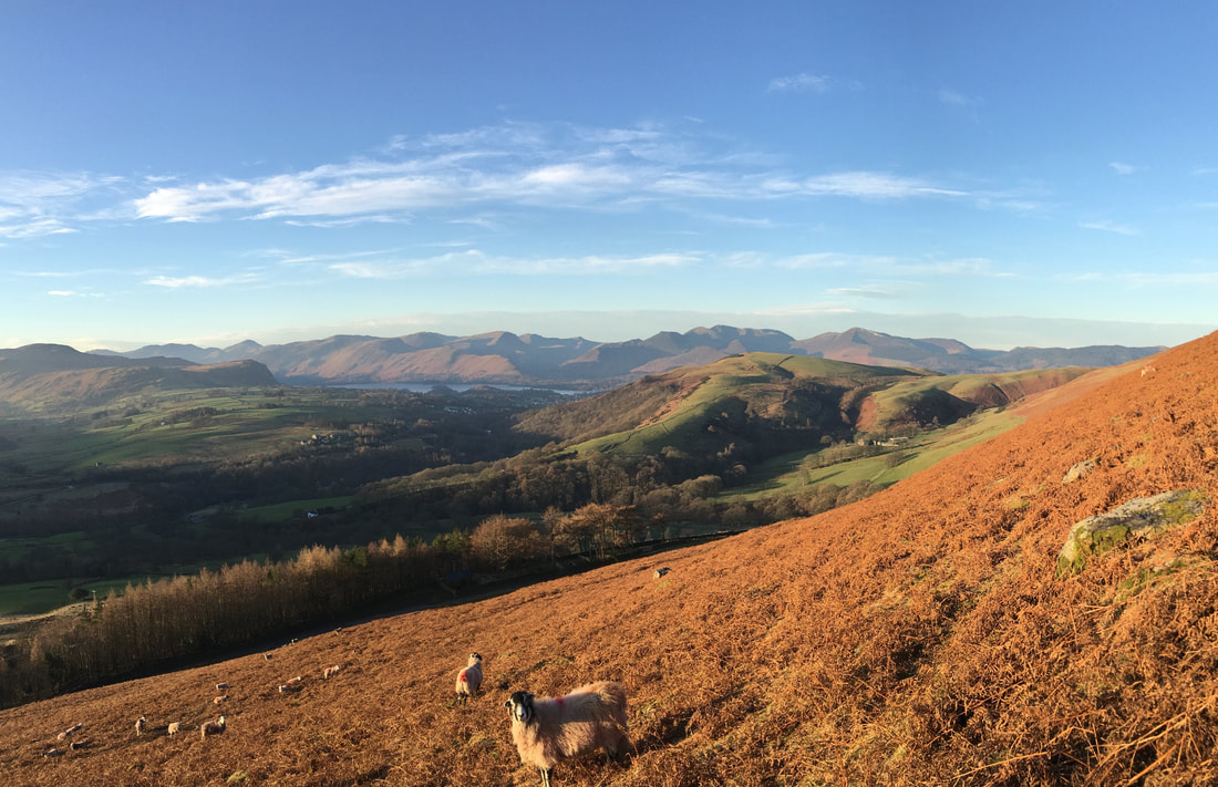
Lonscale Fell
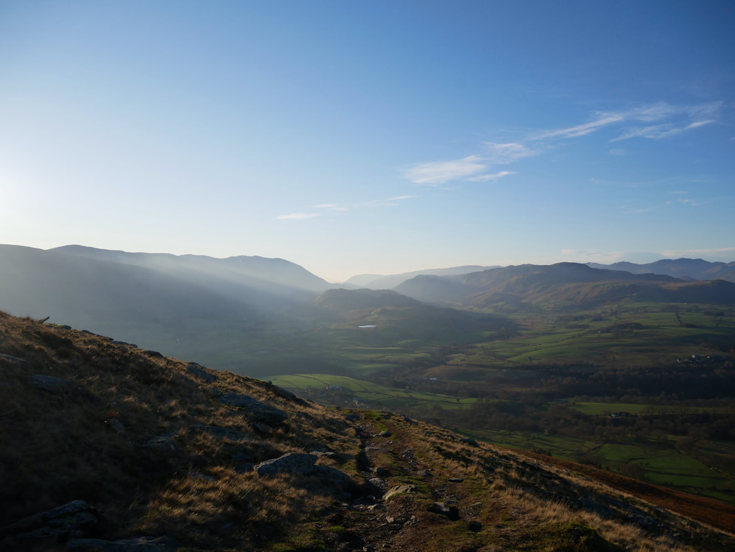
Sun in the lens as we continue up the climb of Blease Fell. Tewit Tarn is the small body of water in the centre of shot.
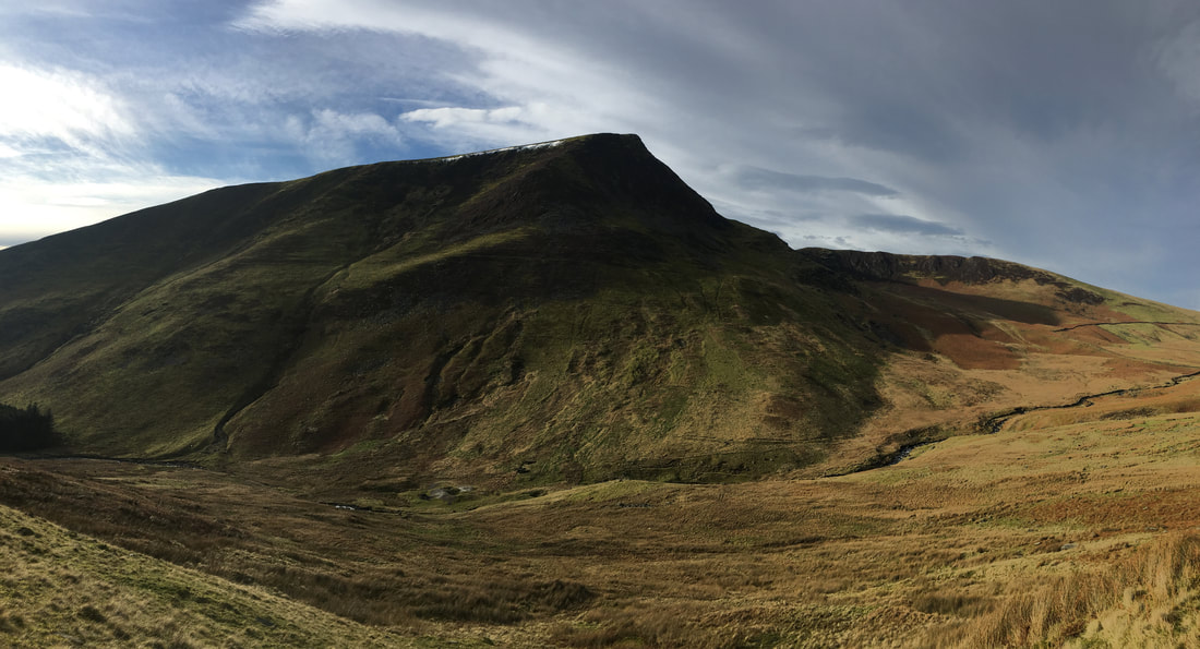
A wonderful Lakeland panorama

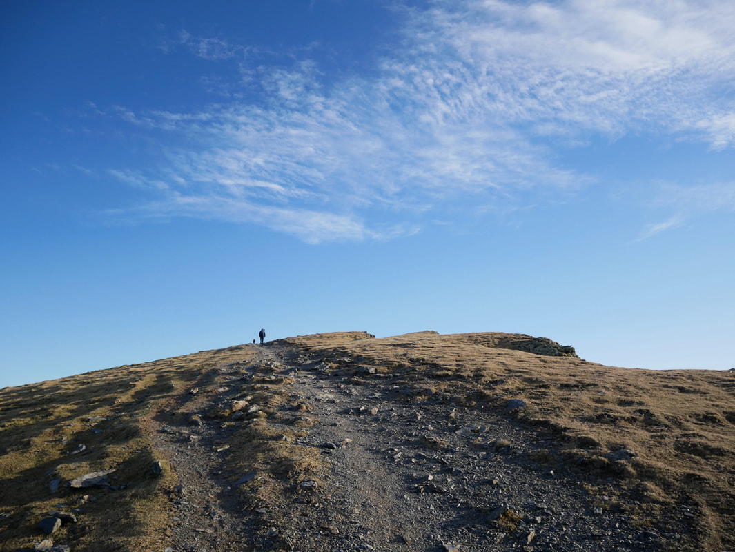
The route up Blease Fell switches back on itself a couple of times as height is gained
On a climb such as this it is important to keep looking back because as height is gained so the view opens out
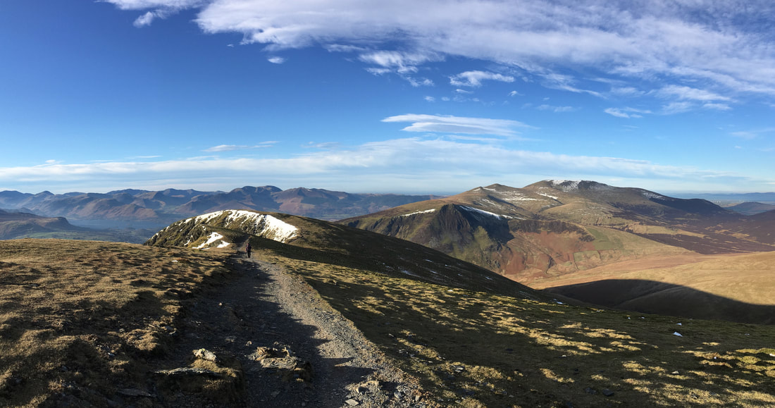
A little higher up and Skiddaw comes into view over the top of Lonscale Fell
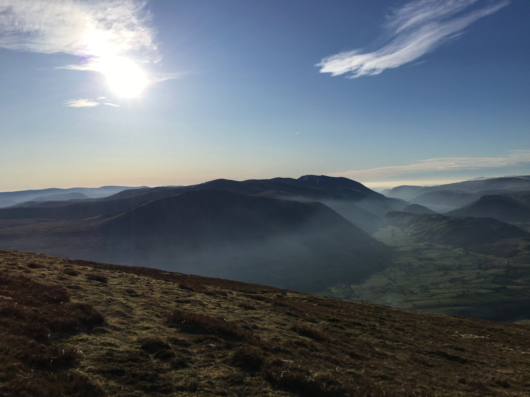
Wisps of low cloud in the valley of St Johns in the Vale as we look over to Clough Head, The Dodds & Thirlmere
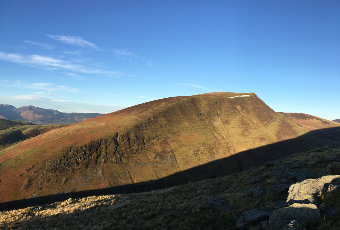
The summit of Blease Fell (Knowe Crags) looking to Gategill Fell
Skiddaw from Blease Fell
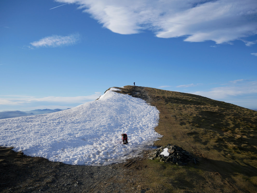
Most of the snow had gone but care needed to be taken close to the edges as there was still cornices about
Heading along the ridge to Gategill Fell
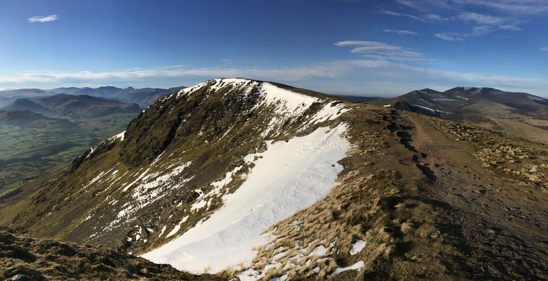
Looking back to Blease Fell from the approach to Gategill Fell
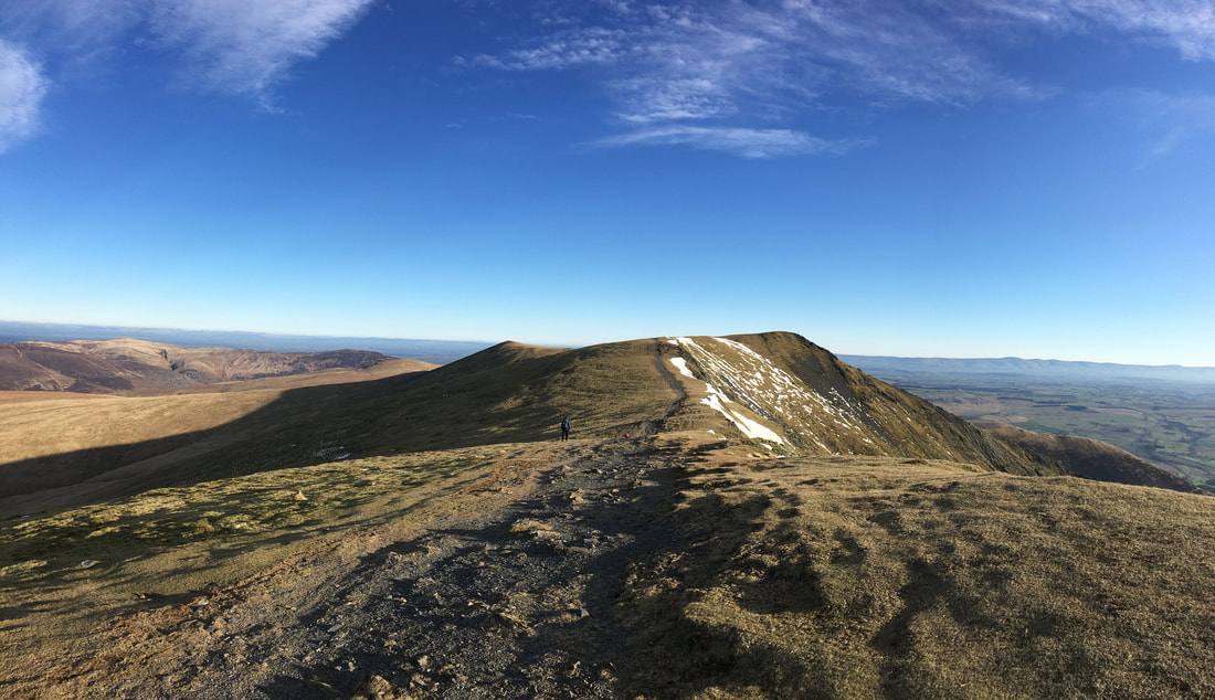
The gentle gradient to the summit of Gategill Fell
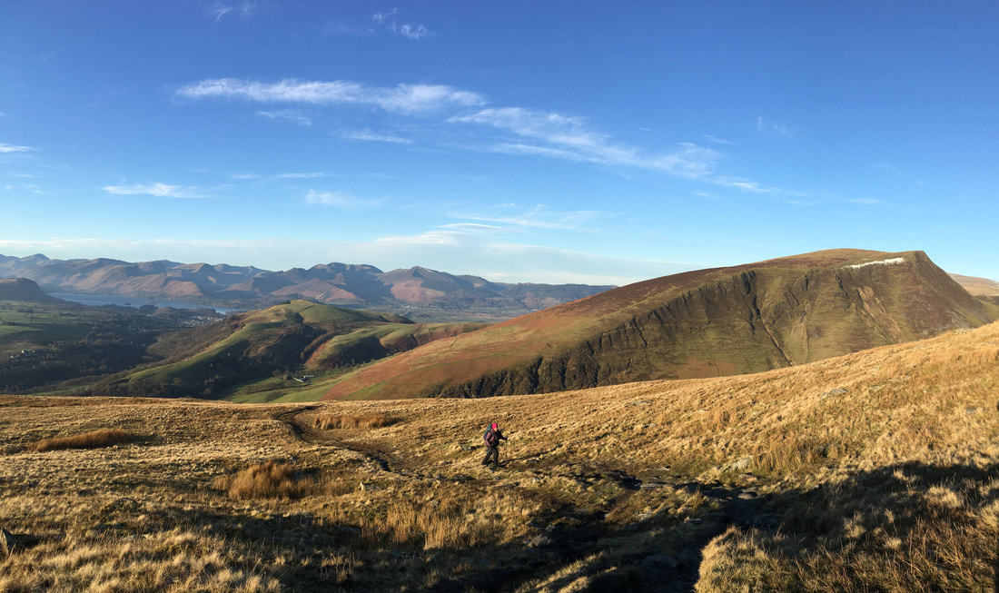
The views today just got better & better - by now it was pretty windy on the ridge
I am stood on the summit of Gategill Fell whilst Fudge simply wants us to chuck snowballs for him to chase
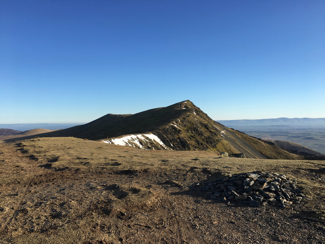
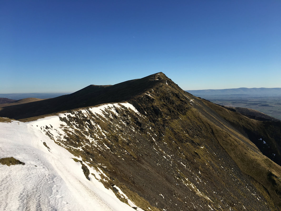
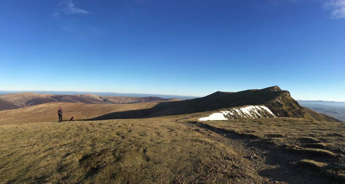
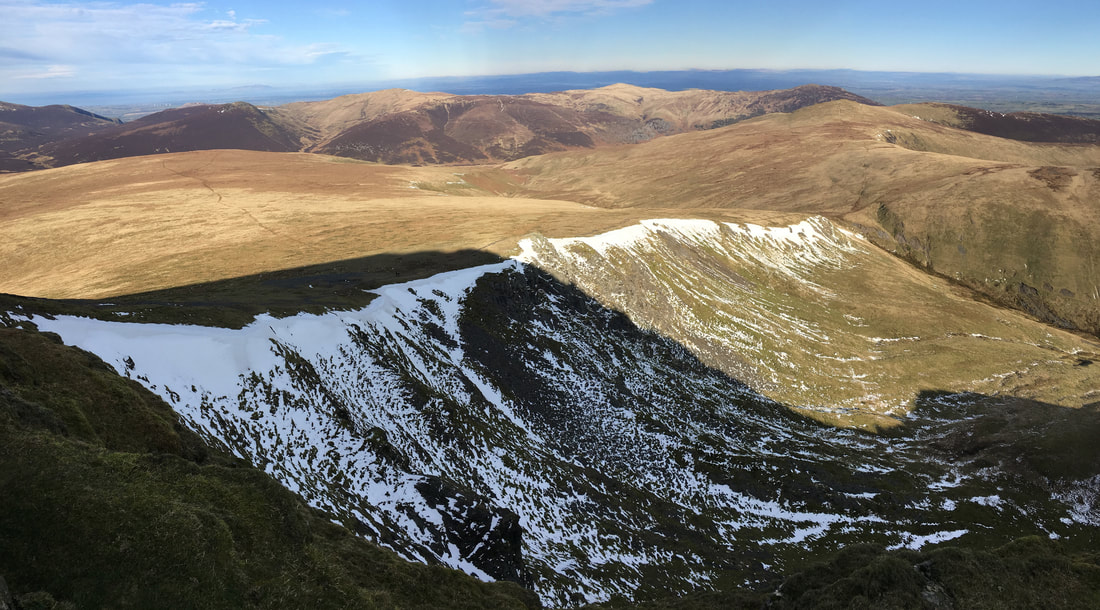
The final approach to Hallsfell Top, the summit of Blencathra
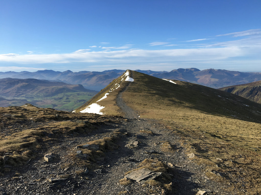
Looking back to Gategill Fell from near Blencathra's summit
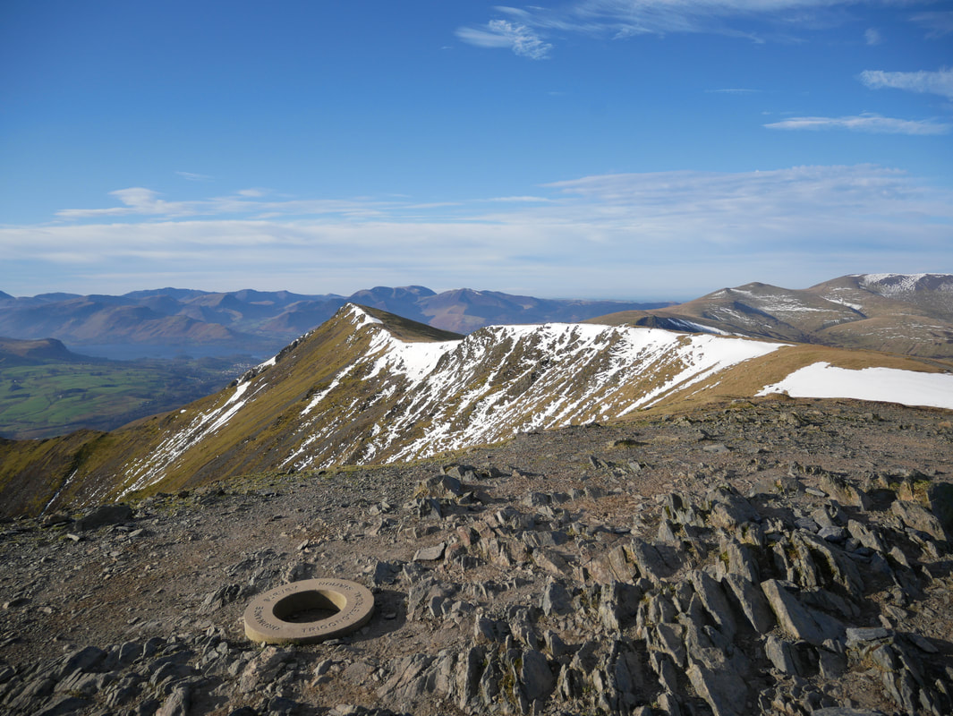
Hallsfell Top, the summit of Blencathra looking along the ridge to Gategill Fell
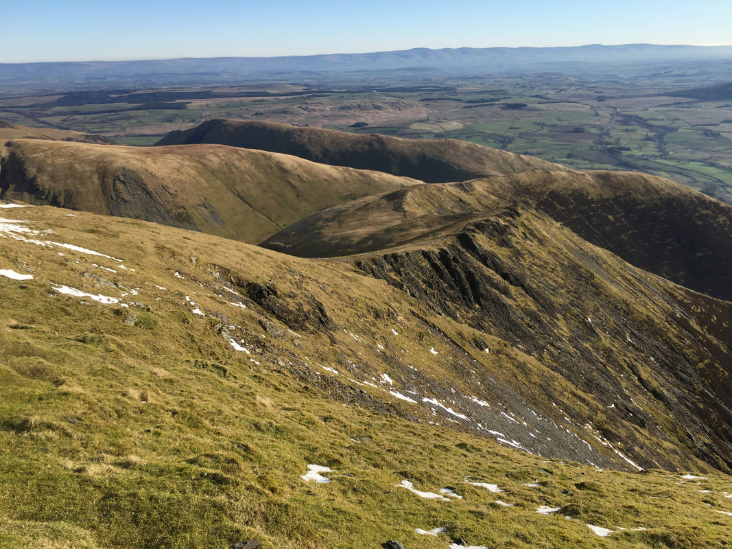
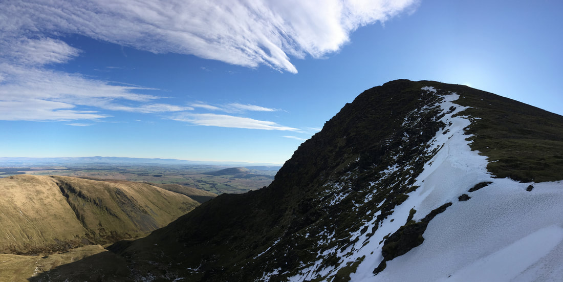
Looking to Doddick Fell & Scales Fell from Blencathra's summit.
The south ridge of Bannerdale Crags is to the left with Souther Fell behind. The Pennines & Cross Fell are in the far distance.
The south ridge of Bannerdale Crags is to the left with Souther Fell behind. The Pennines & Cross Fell are in the far distance.
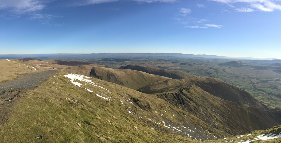
A panorama looking north along the ridge
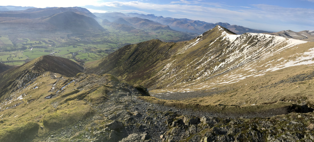
It is worth walking a few yards south from the summit for this view down the Halls Fell ridge. This walk, in ascent or descent is my favourite way of ascending/descending Blencathra and is an exhilarating scramble in the right conditions. A walk report of an ascent via Halls Fell Ridge is here and a route via the descent is here.
From Blencathra we were off to Atkinson Pike next via The Saddle
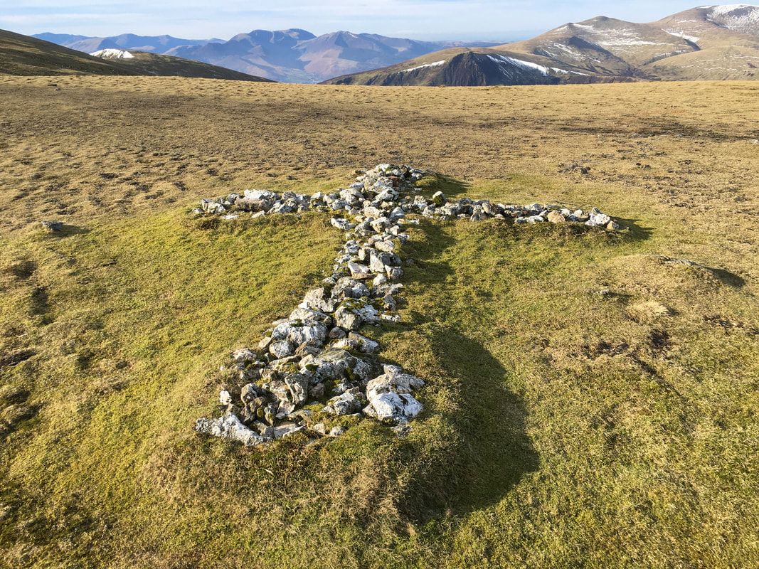
The White Cross just north of The Saddle
On a good day the White Cross can clearly be seen from Blencathra's summit. The cross is made up of many crystallised white stones and owes its existence to Harold Robinson of Threlkeld. The original cross was much smaller than this and was first placed here to commemorate a walker who lost his life on an adjacent rough slope. Mr Robinson collected more stones of locally veined quartzite and extended the cross to its present size. (Blencathra 33)
On a good day the White Cross can clearly be seen from Blencathra's summit. The cross is made up of many crystallised white stones and owes its existence to Harold Robinson of Threlkeld. The original cross was much smaller than this and was first placed here to commemorate a walker who lost his life on an adjacent rough slope. Mr Robinson collected more stones of locally veined quartzite and extended the cross to its present size. (Blencathra 33)
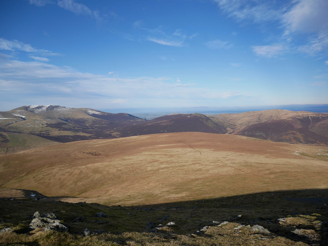
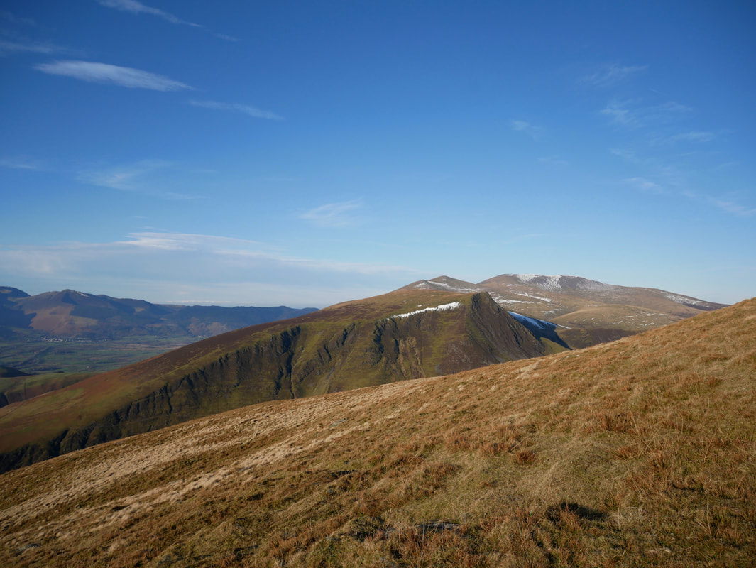
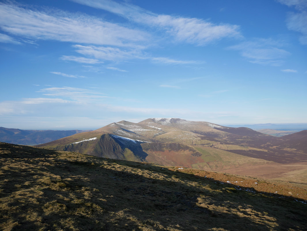
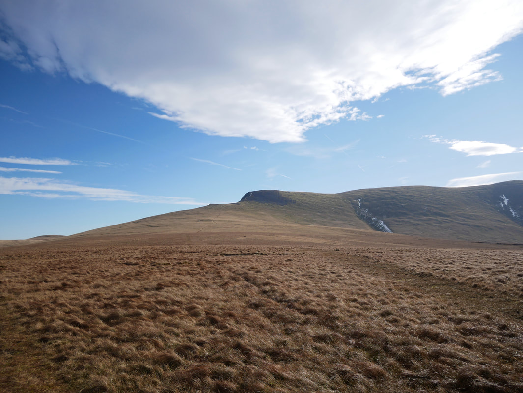
Looking to Mungrisdale Common from Atkinson Pike with Skiddaw & Bakestall to the left, Great Calva centre and Knott to the right.
The path making its way from right to left would be our route over to the summit of Mungrisdale Common.
The path making its way from right to left would be our route over to the summit of Mungrisdale Common.
The summit of Atkinson Pike looking to Lonscale Fell & the Skiddaw range
Leaving Angie & Fudge at Atkinson Pike I nipped down the southern slope of Foule Crag to have a look down Sharp Edge
Looking over to our descent down from Atkinson Pike and the path to Mungrisdale Common

Sharp Edge & Scales Tarn. I hope nobody was on there today - it was way, way too windy
Foule Crag
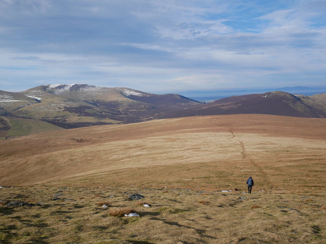
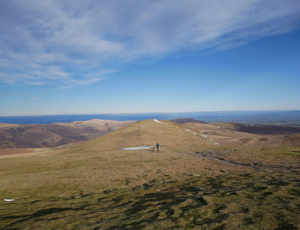
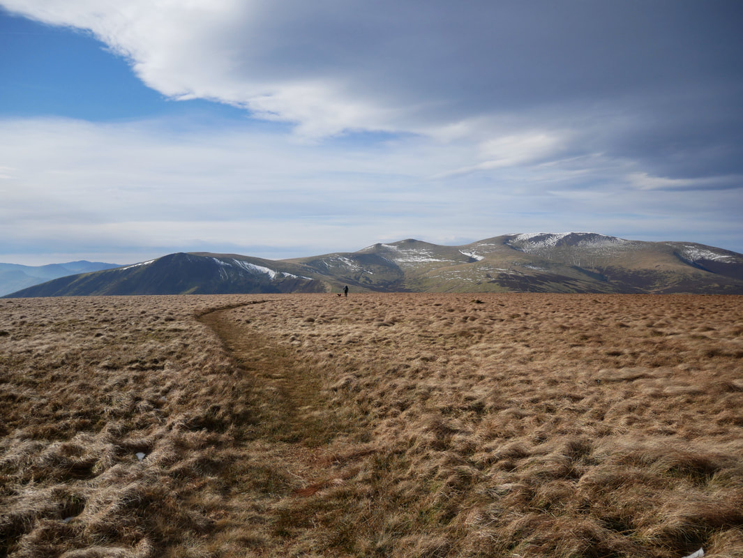
Heading along the very pleasant path to Mungrisdale Common
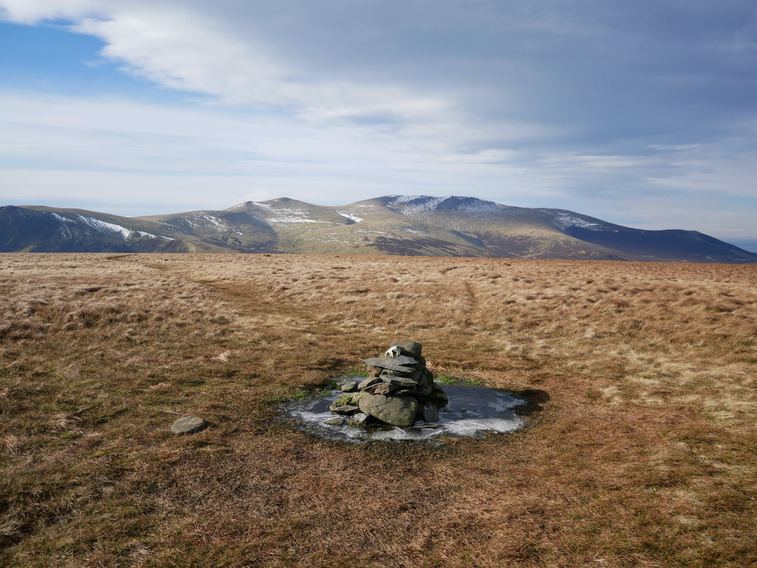
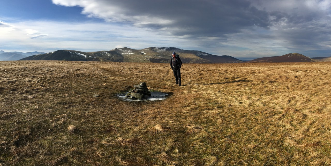
The summit of Mungrisdale Common (complete with sheep skull) looking to Skiddaw
Blencathra from the summit of Mungrisdale Common
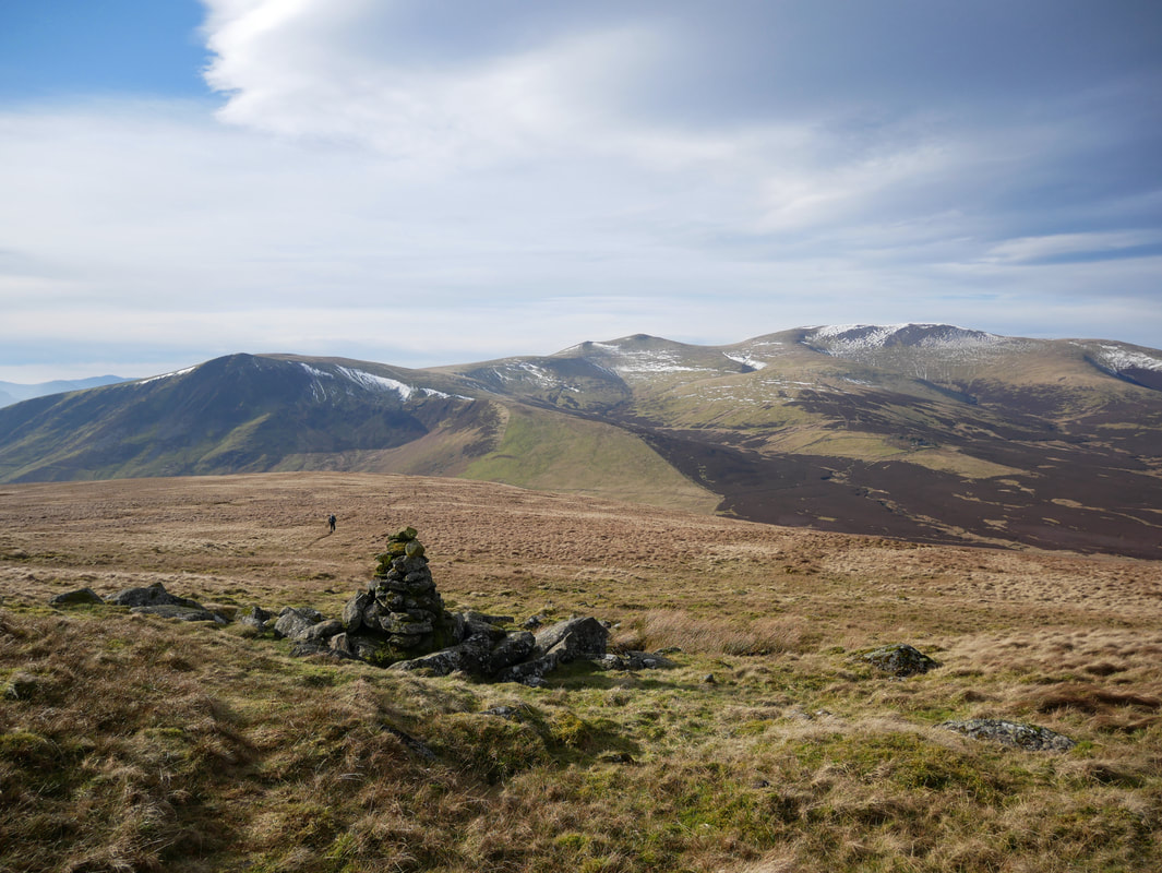
People moan about how featureless Mungrisdale Common is and that it should not be even considered as a Wainwright Fell.
Maybe they should open their eyes a bit as the views to Blencathra & Skiddaw are just superb.
Maybe they should open their eyes a bit as the views to Blencathra & Skiddaw are just superb.
Heading off in the direction of Skiddaw towards the "stone men"
One of two "stone men" guiding the way towards the Cloven Stone (Mungrisdale Common 4)
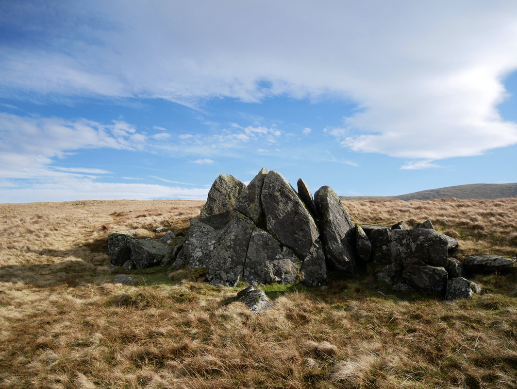
The Cloven Stone
The stone is a natural rock feature and is marked on the Ordnance Surevey Map. It is now a boundary marker due to it's distinctive appearance.
The stone is a natural rock feature and is marked on the Ordnance Surevey Map. It is now a boundary marker due to it's distinctive appearance.
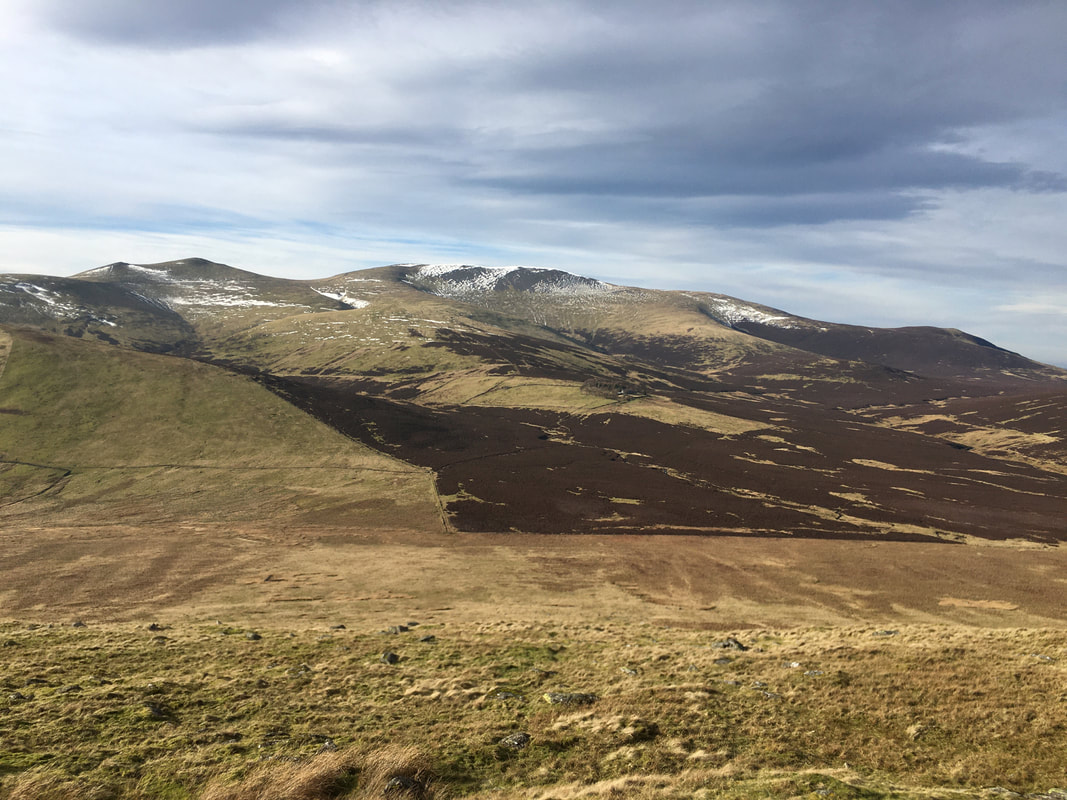
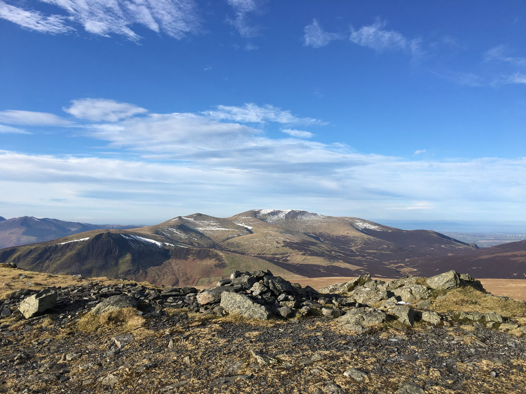
Skiddaw with Sale How left of centre.
The Youth Hostel at Skiddaw House can just about be seen encircled by trees in the centre right.
The Youth Hostel at Skiddaw House can just about be seen encircled by trees in the centre right.
Great Calva & Knott
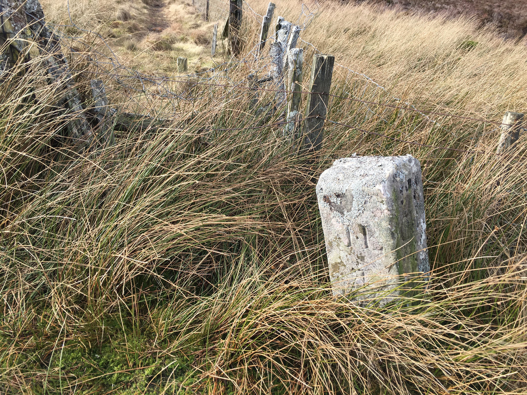
A boundary stone known as "The Stake" - also marked as such on the Ordnance Survey Map (Mungrisdale Common 5)
My view on all of our lunch stops whilst out walking the fells

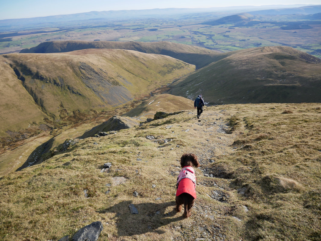
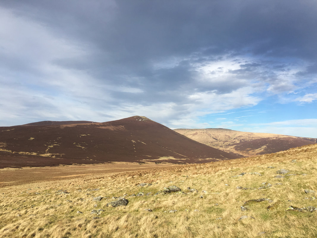
Looking back to our descent from Mungrisdale Common
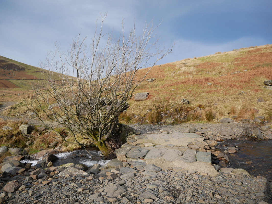
The slate slab bridge over Roughten Gill
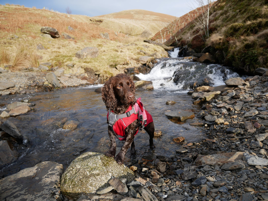
Who has been messing about in Roughten Gill then?
Lonscale Fell & Burnt Horse
Heading back to the start looking to Great Calva
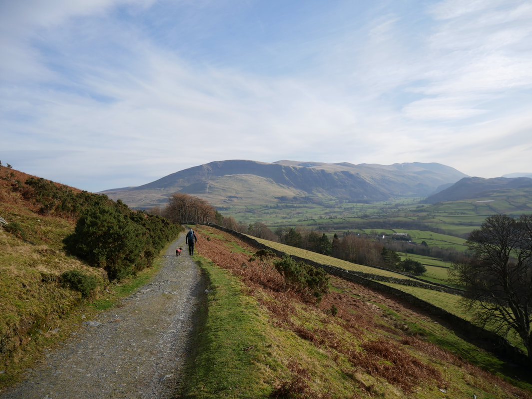
Nearing the Car Park at the Blencathra Centre looking to Clough Head & The Dodds