Green Crag, Great Worm Crag, Harter Fell & Hard Knott - Thursday 15 April 2021
Route
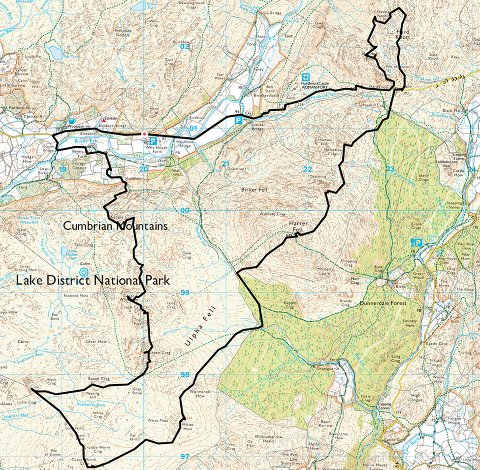
Wha House Farm - Woolpack Inn - Doctor Bridge - Penny Hill Farm - Kepple Crag - Great Whinscale - Crook Crag - The Pike - Green Crag - Broad Crag - Great Crag - Great Worm Crag - White How - Harter Fell - Demming Crag - Horsehow Crags - Hardknott Pass - Hard Knott - Eskdale Needle - Border End - Hardknott Pass - Jubilee Bridge - Whahouse Bridge - Wha House Farm
Parking
Small parking area opposite Wha House Farm (Free) - Grid Ref NY199009. Nearest postcode is CA19 1TH.
Mileage
15.6 miles
Terrain
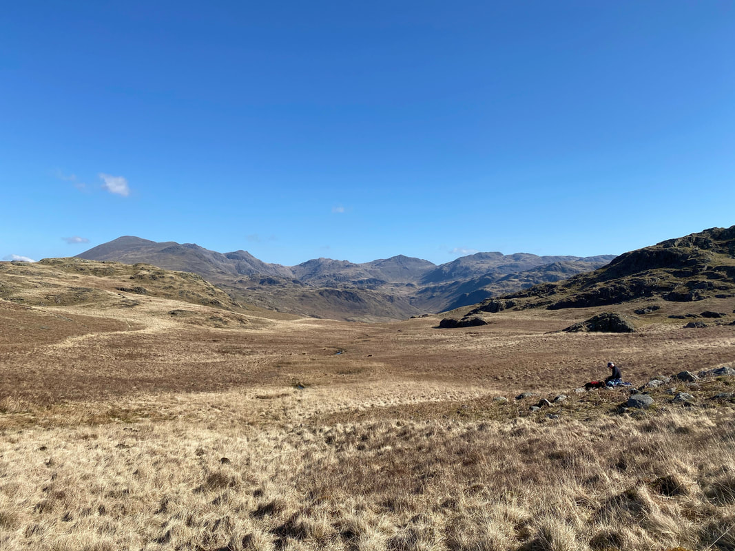
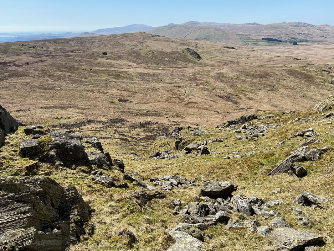
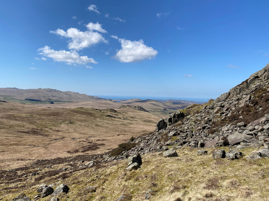
Generally good mountain paths although the transit onwards from Green Crag to the west of Grassguards and Harter Fell to the Hardknott Pass were on intermittent paths. This area also has a reputation for being particularly boggy which I personally think is a tad overegged.
Weather
Glorious - sunshine all day with light breezes.
Time Taken
11 hrs (we really did dawdle today)
Total Ascent
4491ft (1369m)
Wainwrights
3 plus 1 Outlying Fell (Great Worm Crag)
Map
OL6 - The English Lakes (South Western Area)
Walkers
Dave, Angie & Fudge
|
GPX File
|
| ||
If the above GPX file fails to download or presents itself as an XML file once downloaded then please feel free to contact me and I will send you the GPX file via e-mail.
Route Map
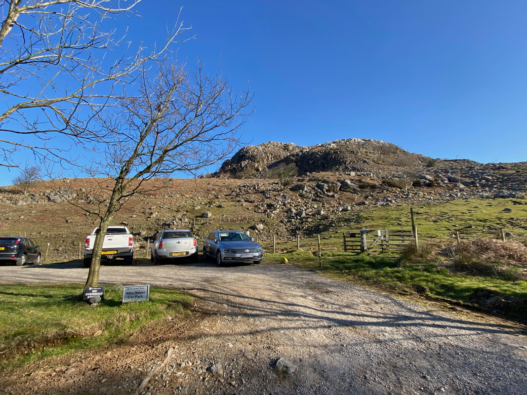
We started today's 13 summit epic walk from the parking area opposite Wha House Farm where there is room for about 10 sensibly parked cars but be warned - at the weekend you need to get here early. The Car Park is an ideal starting point for the Eskdale Fells with the gate on the right leading to Slight Side & Scafell amongst others. There are other parking facilities nearby either to the right near the foot of the Hardknott Pass towards Brotherilkeld & Jubilee Bridge or left at The Woolpack Inn. If parking at The Woolpack please ask permission first.
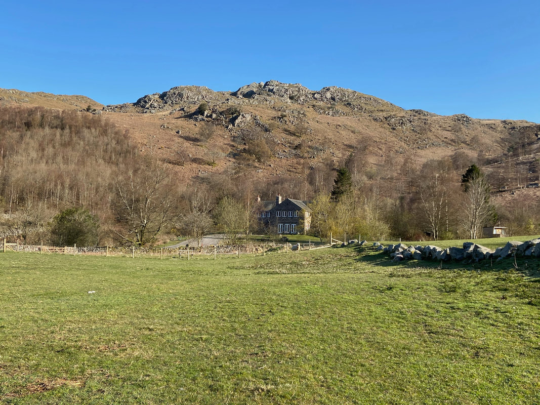
From the Car Park we walked along the road in the direction of The Woolpack passing Eskdale Youth Hostel to our right. The hostel was purpose built in the 1930s by John Downer using local pink granite.
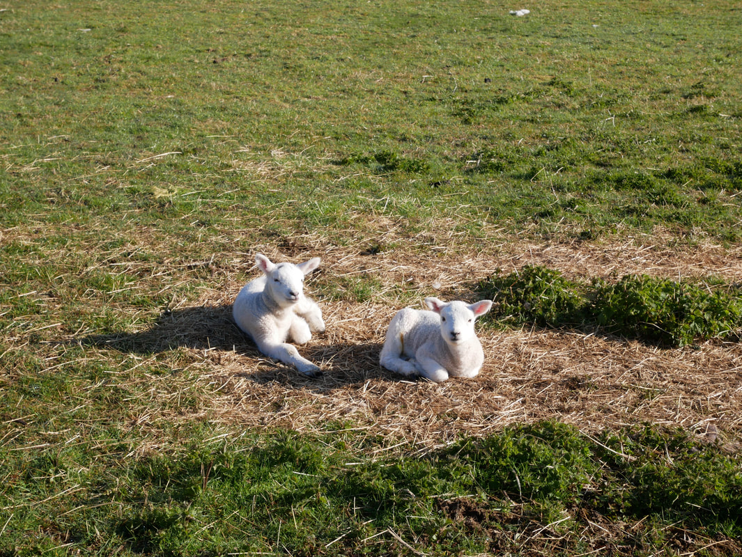
Nothing to see here - just two lambs chilling out in the early morning sunshine
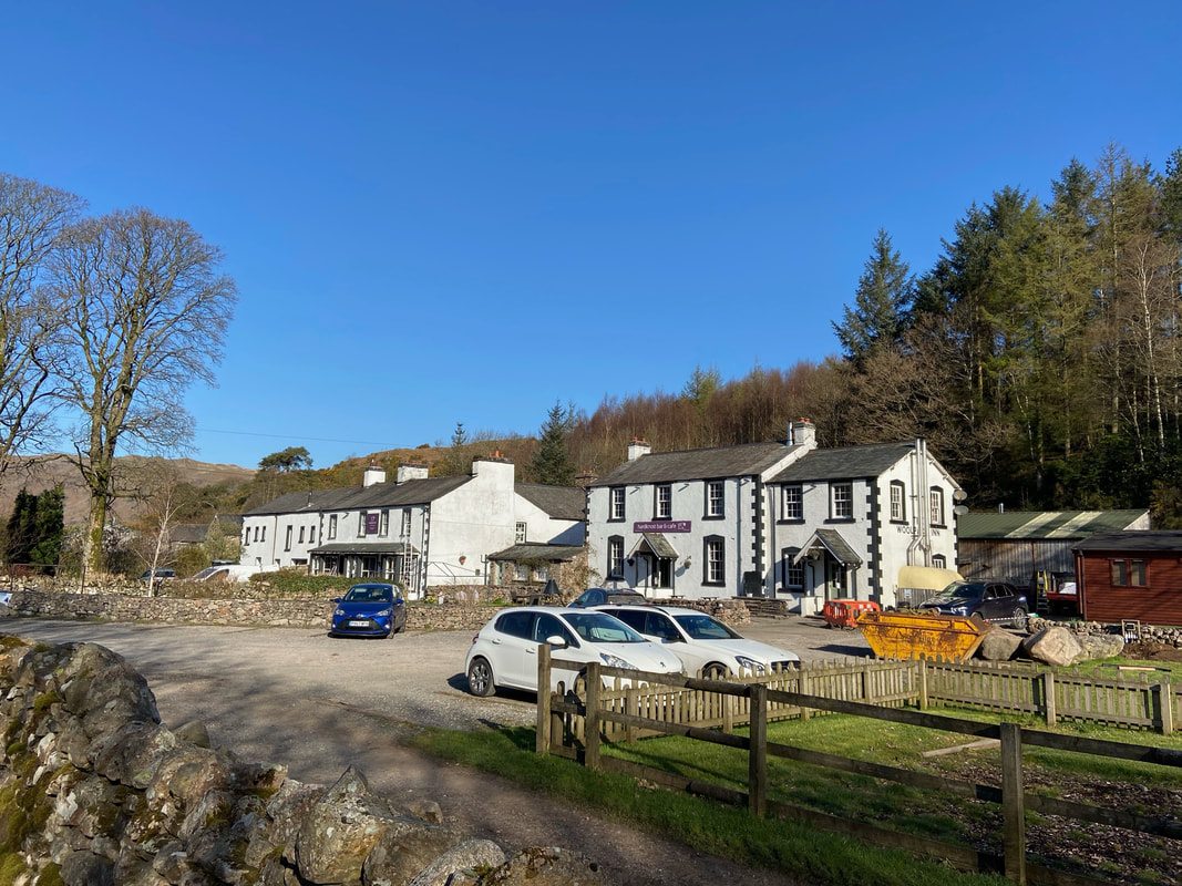
The Woolpack Inn, Eskdale
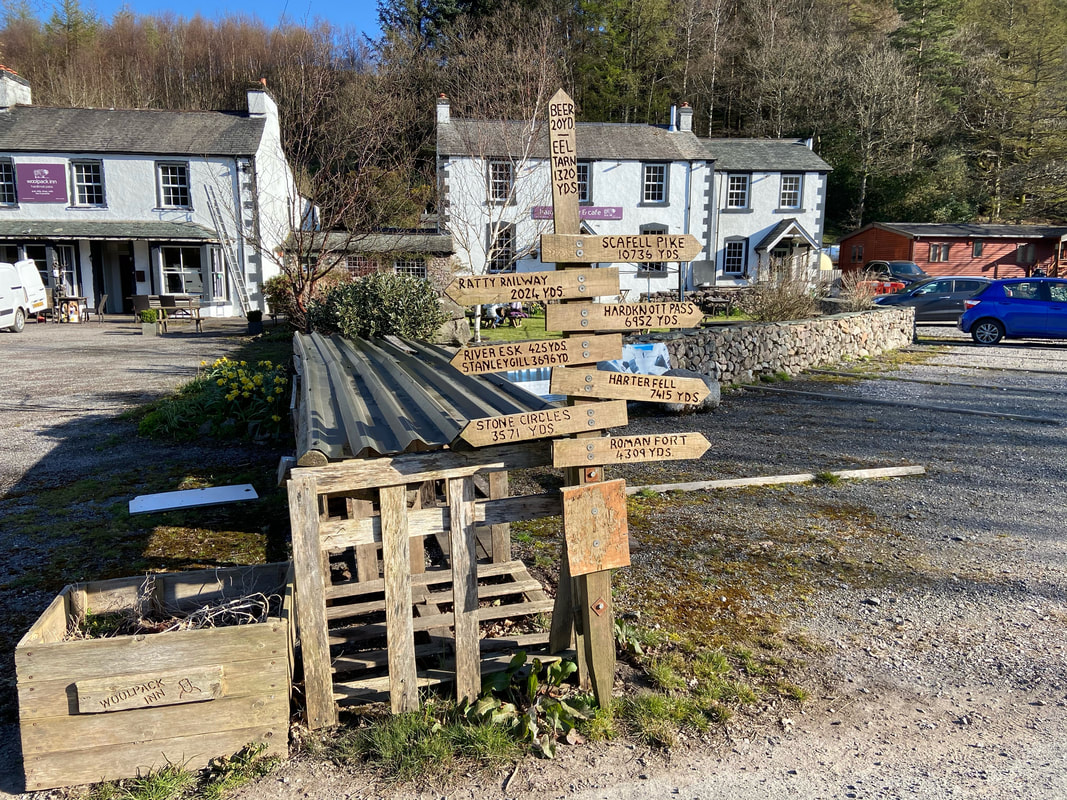
Whilst the sign at The Woolpack displays lots of information about how far everything is, I think the most important figure for some is at the very top of it.
Just past The Woolpack on the left is a lane which leads here to the farm access track to Penny Hill Farm
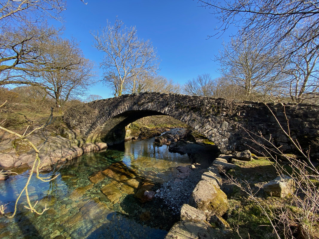
The very picturesque Doctor Bridge. The bridge spans the River Esk, was originally very narrow and therefore widened in 1734 by local surgeon Edward Tyson in order that his pony & trap could pass over it. It is presumed that this is where the name originates from.
Barry, Robin & Maurice (those who know, know!)
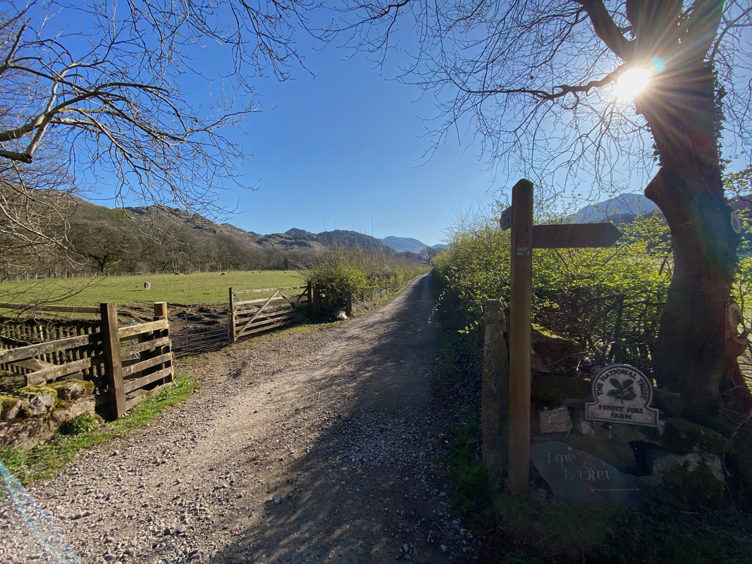
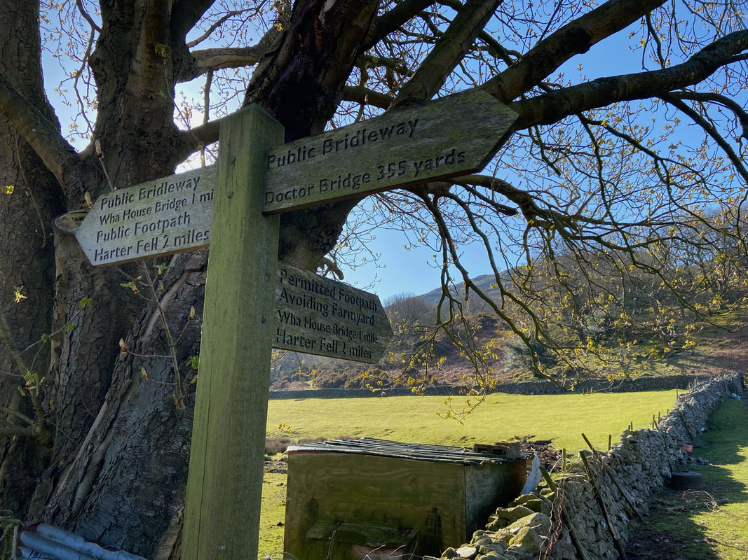
We followed the access track towards Penny Hill Farm to reach this sign. Whilst there is a right of way a few yards on through the farmyard it is best to head right here, follow the wall and turn left at the gate - this is in order to avoid disturbing the residents of the farm. The distance between both routes is negligible.
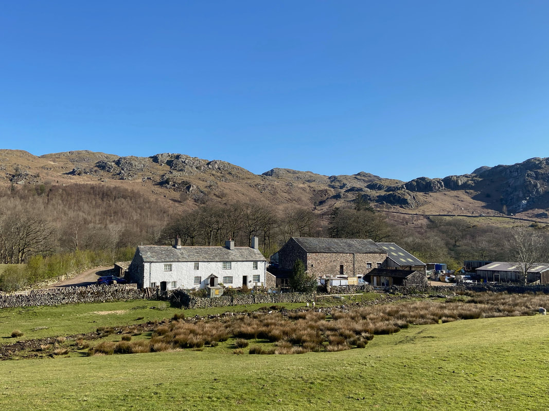
Penny Hill Farm
Looking back along the path to the gate where we earlier turned left
Our route to the first summit of Kepple Crag passed along an old peat road which are characteristic of Eskdale. The 'roads' were grassy, zig-zagging tracks once used to bring this important fuel down from the fells above. Wainwright bemoaned nearby Sellafield stating "Time has marched fast in Eskdale: at the foot of the valley is the world's first atomic power station, and peat is out of fashion. Alas!" (Green Crag 3)
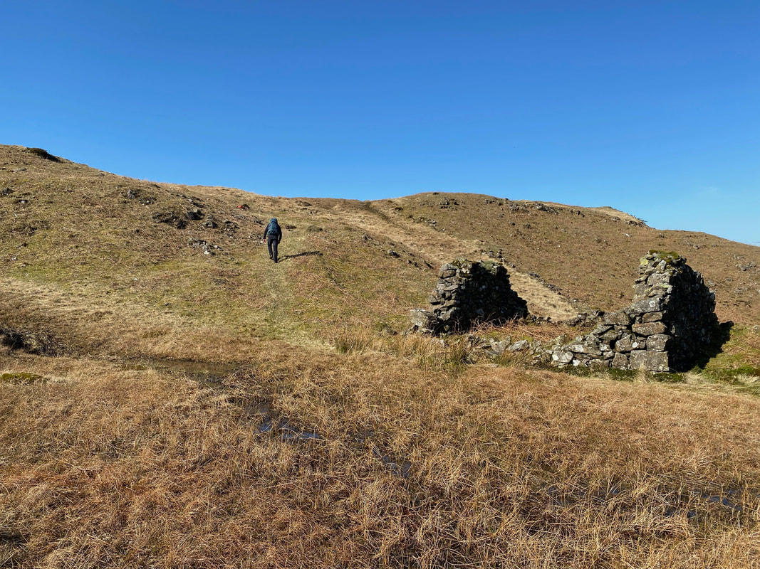
Just below Kepple Crag is an old peat hut, one of many that are scattered hereabouts
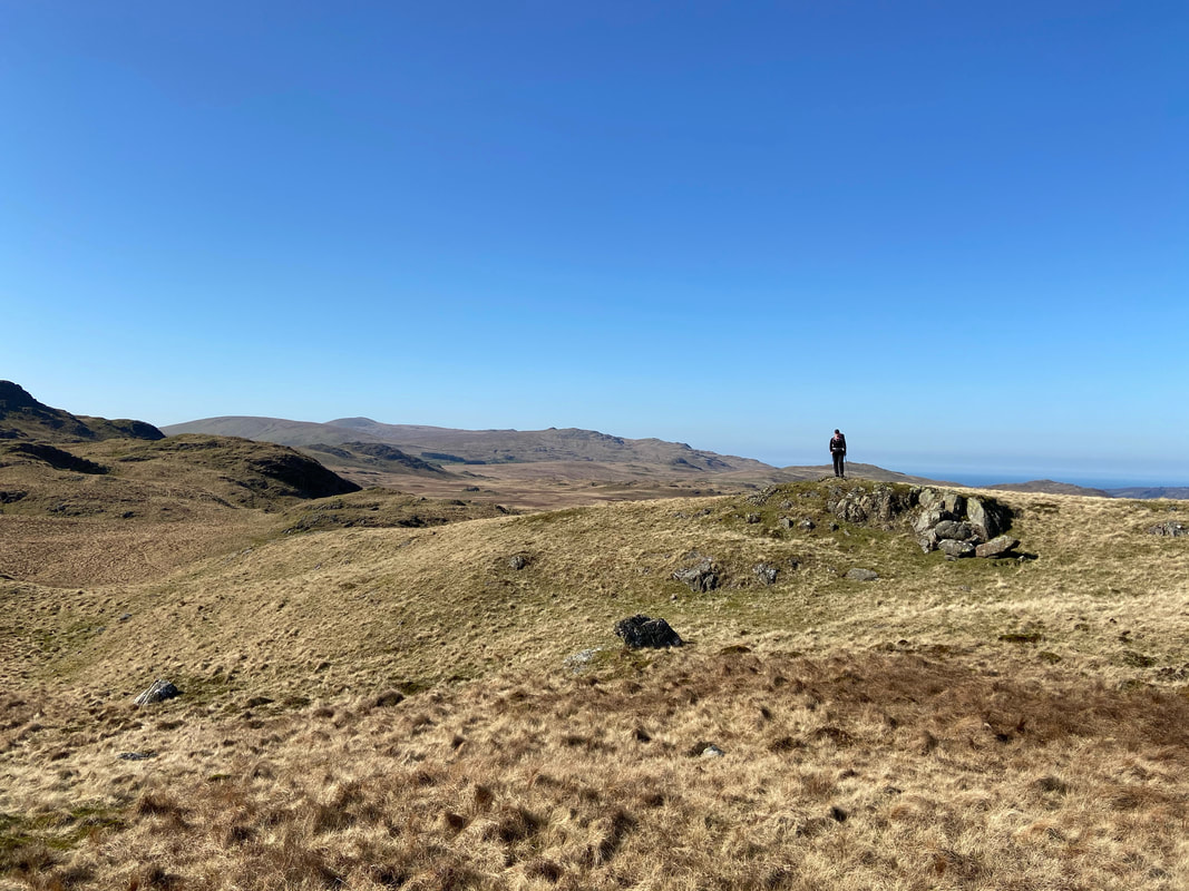
The summit of Kepple Crag
From Kepple Crag we headed over a grassy depression towards Great Whinscale
Looking back to Kepple Crag which is to the left. I am sat cooking our breakfast with an extremely interested pooch - bacon & egg sarnies.
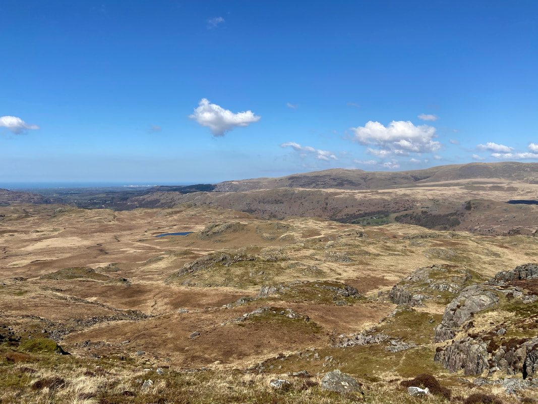
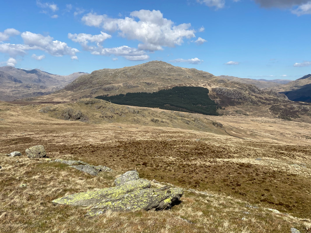
The large expanse of Foxbield Moss - the body of water is Low Birker Tarn
The ascent to gain Great Whinscale is via a grassy rake
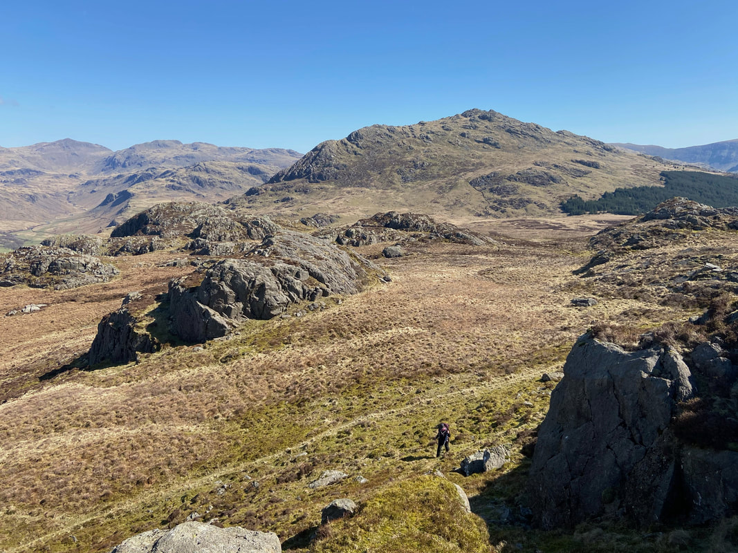
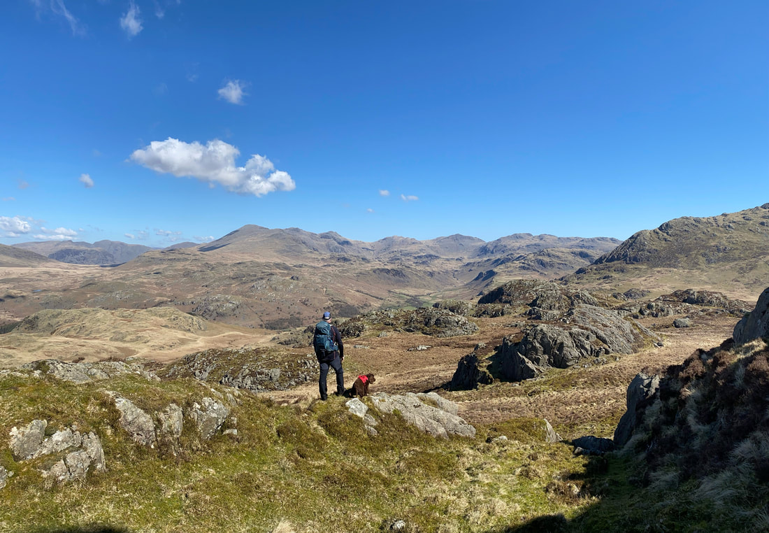
Angie makes her way up the grassy rake whilst I enjoy a fantastic view over to Harter Fell
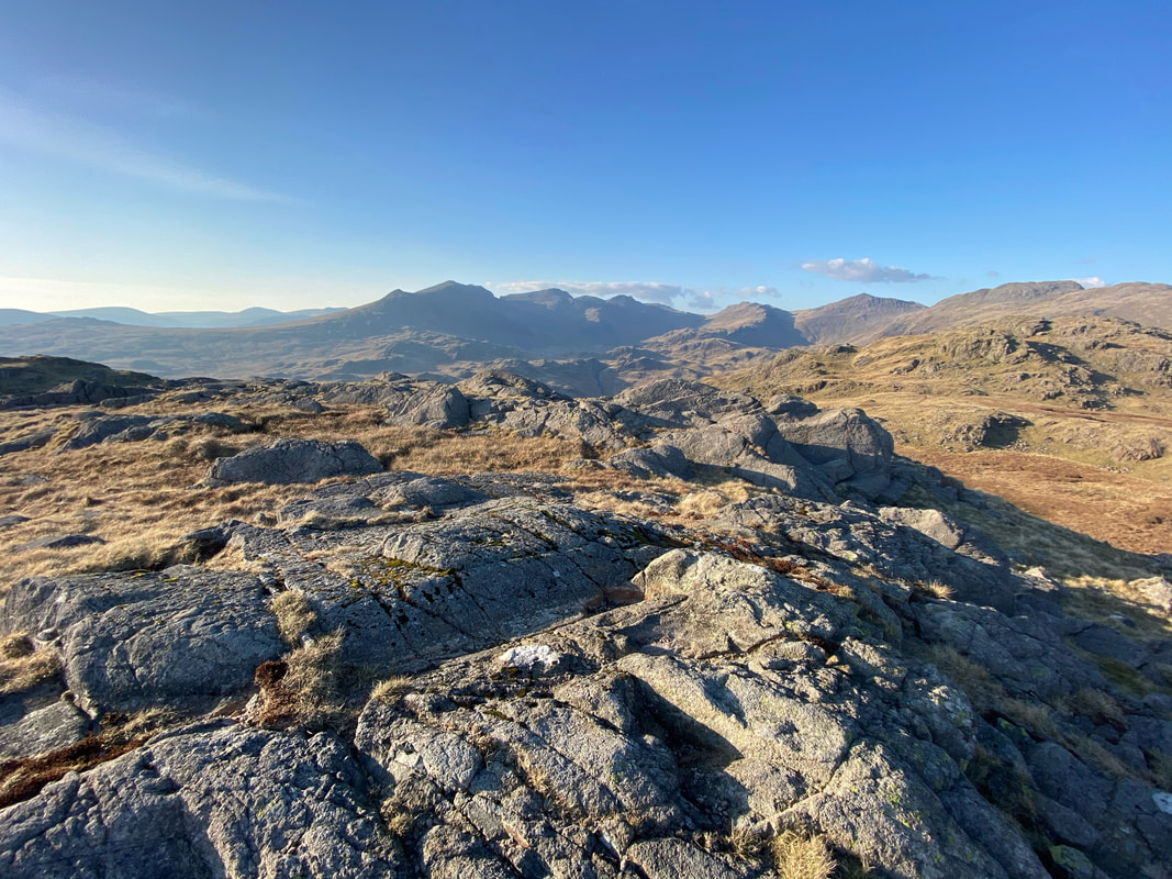
Pausing at the top of the rake to look over to the magnificent Scafells, Bowfell & Crinkle Crags
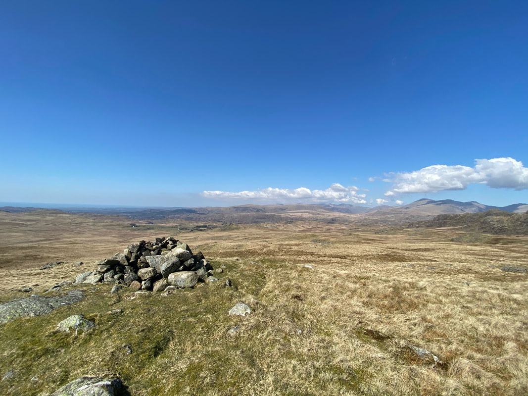
The summit of Great Whinscale
Devoke Water & Great Crag from Great Whinscale
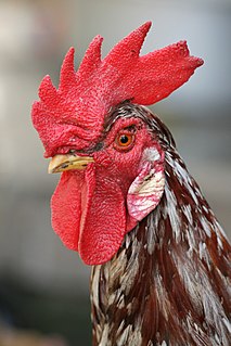
The summit of Crook Crag. Wainwright described Crook Crag as a "cockscomb ridge" (Green Crag 3). I had never heard of a ridge being described as such before therefore looked up the meaning of cockscomb. It is a term to describe the soft, red growth on the head of a cock. I'm going to stop talking about this subject now - that's enough innuendo for one blog I think.
Here's what he meant anyway - the ridge is serrated.
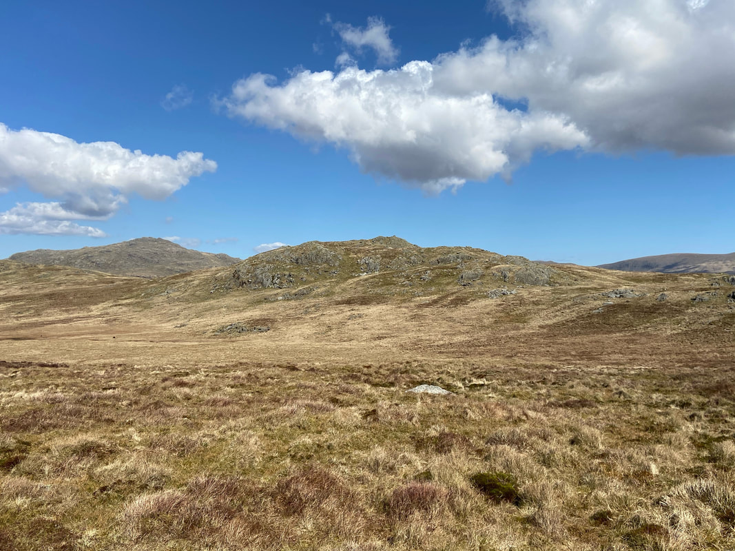
Green Crag from Crook Crag
The descent from Crook Crag down to the col
Crook Crag from the approach to Green Crag - bearing in mind we were out 11 hours, the people on the summit are two of only 6 people we saw all day.
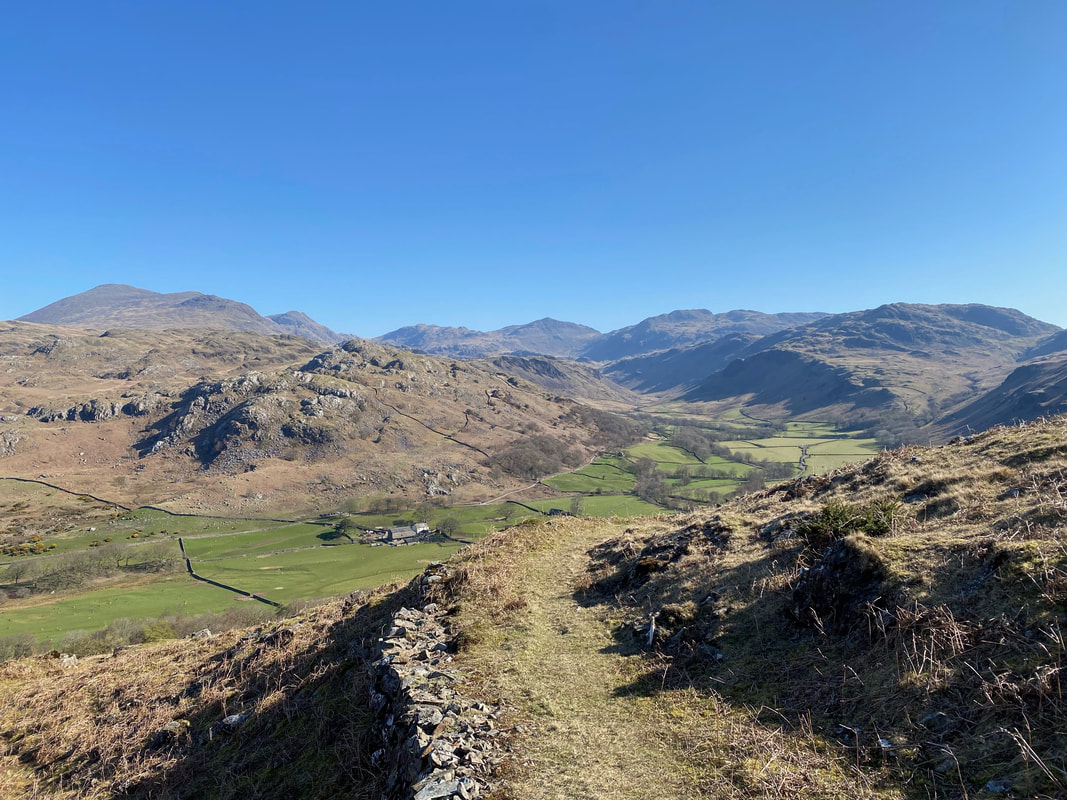
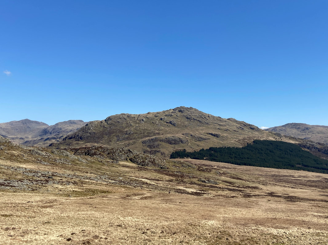
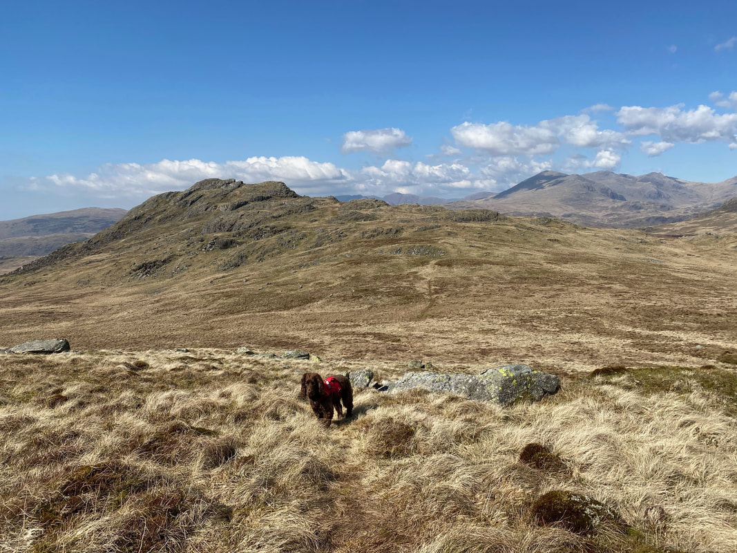
Harter Fell from the approach to Green Crag with Bowfell to the left
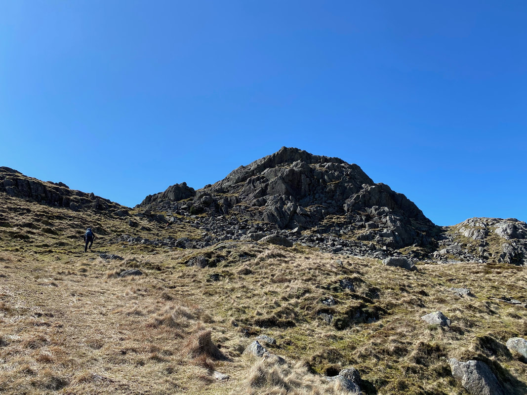
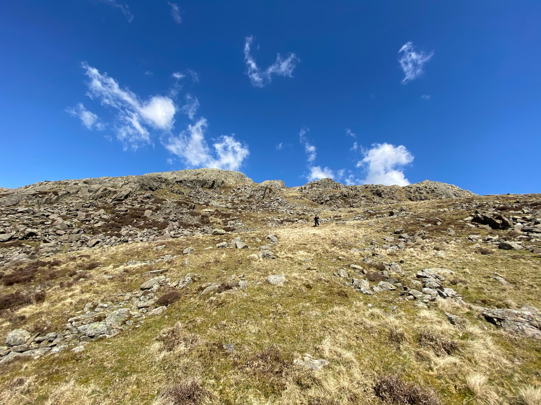
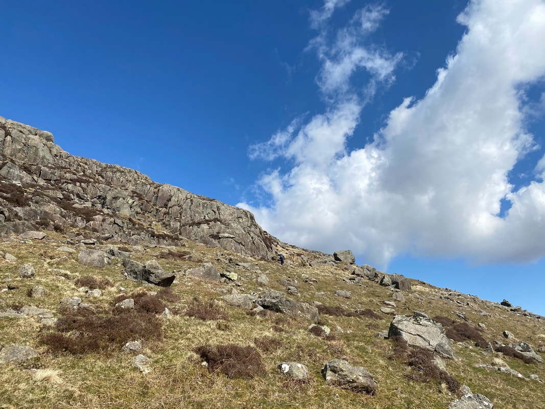
The steep ascent up yet another grassy rake to the summit of Green Crag
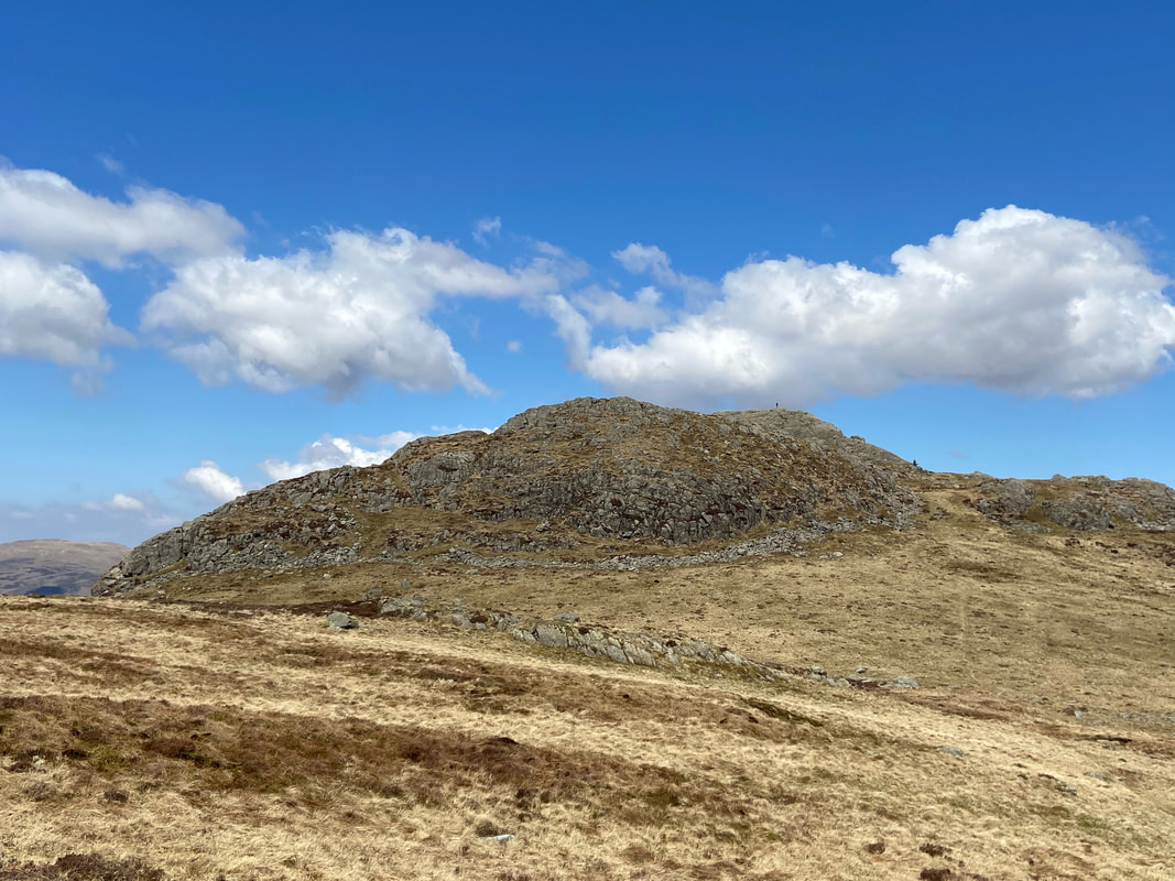
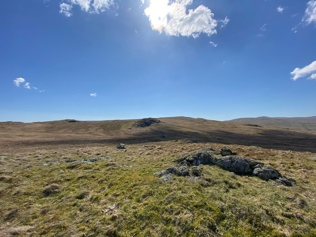
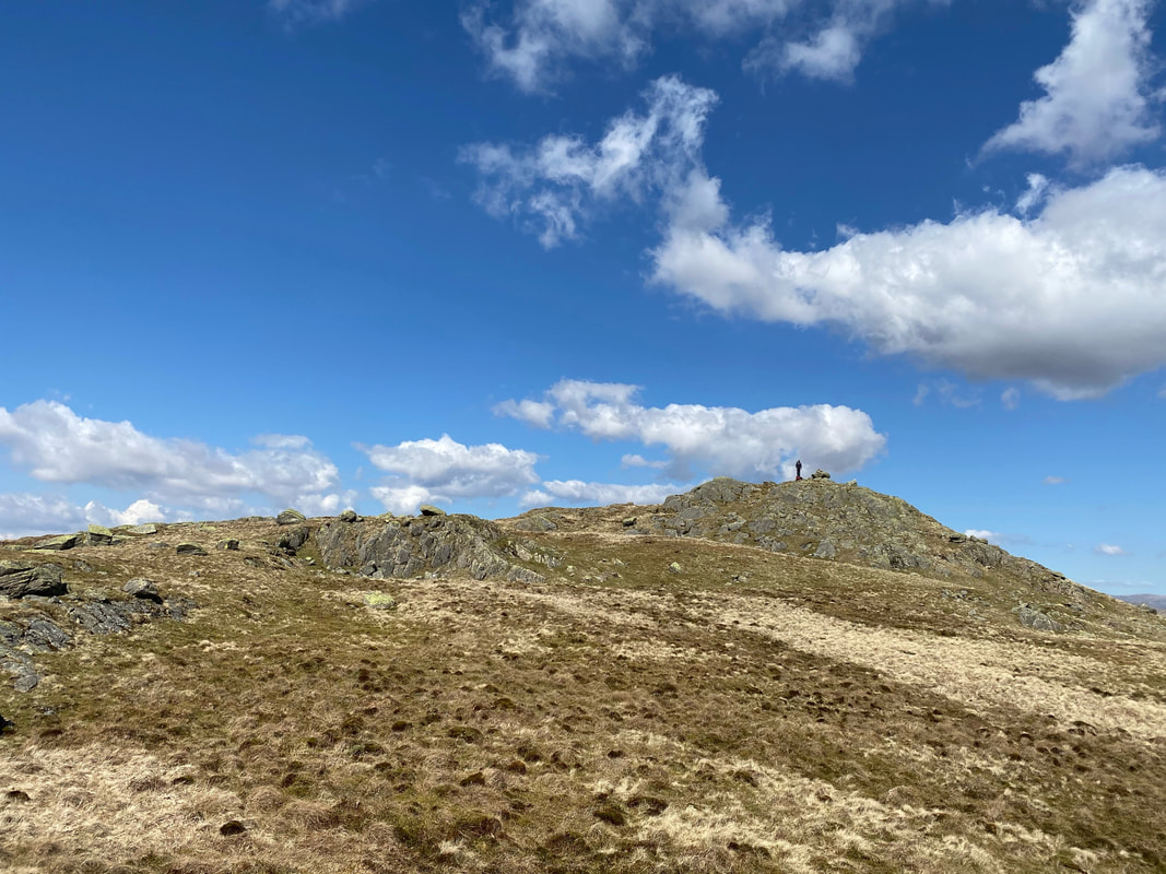
The summit of Green Crag
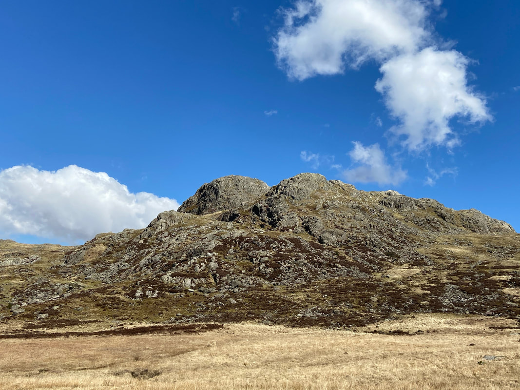
The "ring of crags" that surround Green Crag's summit (Green Crag 4)
Descending Green Crag with White Crag ahead and Great Worm Crag beyond.
A little further round and our next two summits of Broad Crag & Great Crag come into view.
Angie descending Green Crag
Another view of Green Crag - it really is a delightful fell
The summit of Broad Crag looking to White Crag & Great Worm Crag
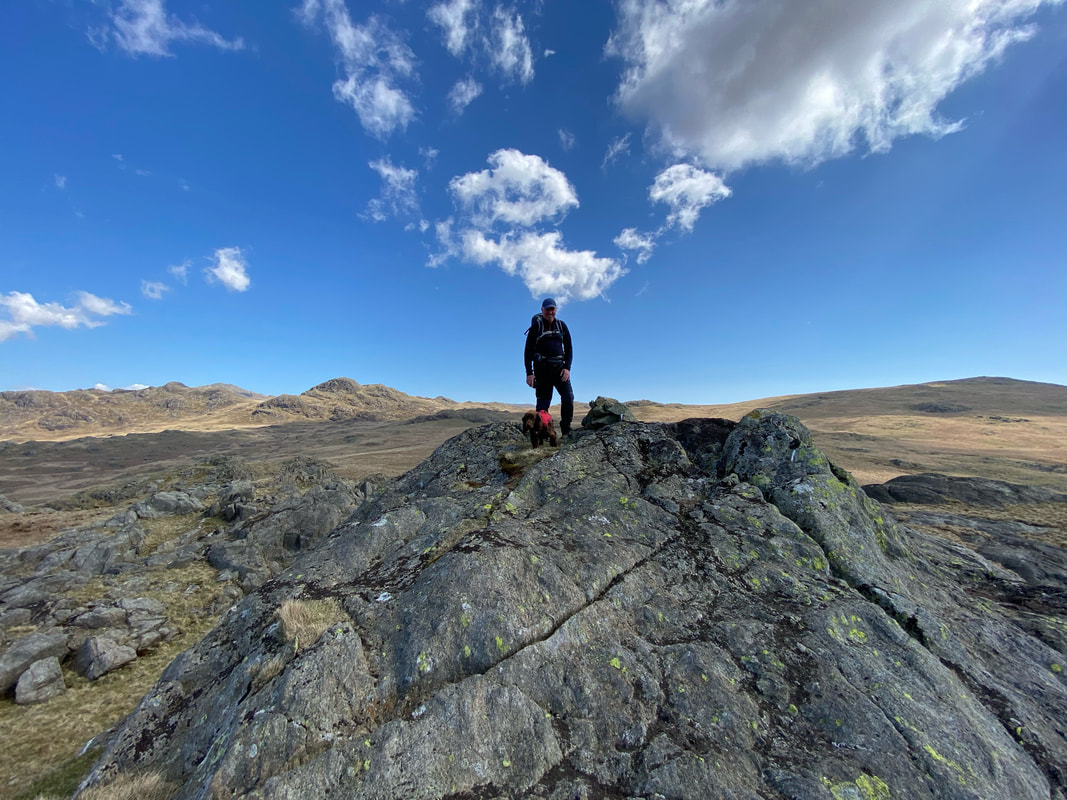
With Fudge on the summit of Great Crag
Ascending Great Worm Crag looking back to Great Crag
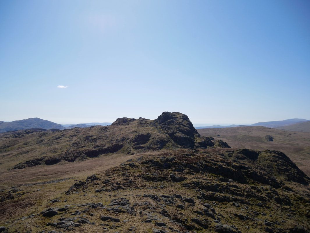
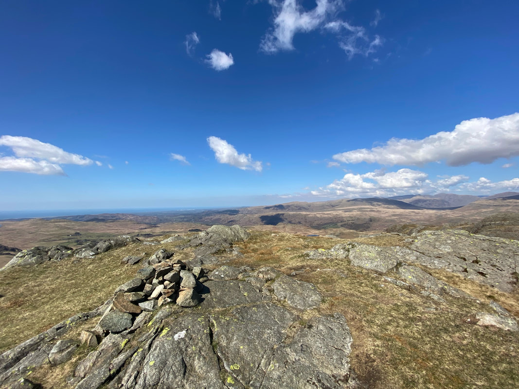
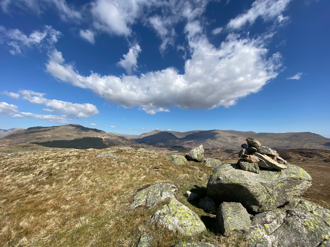
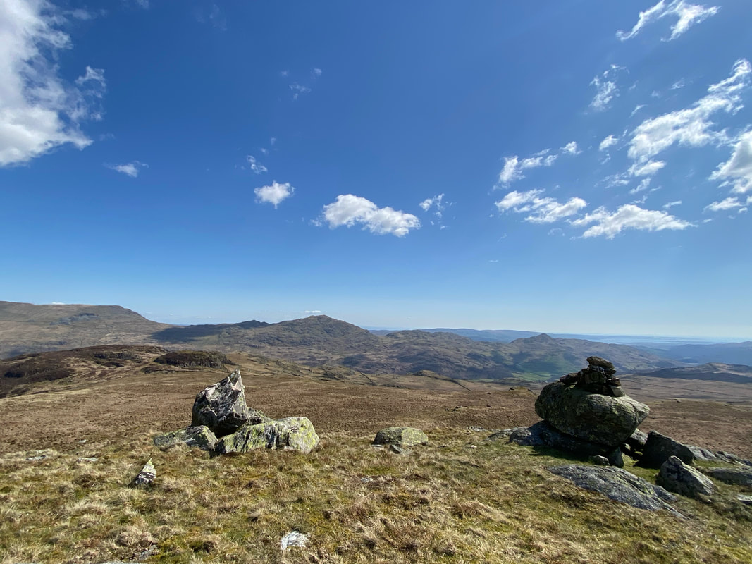
The summit of Great Worm Crag
Harter Fell & Green Crag from Great Worm Crag
From Great Worm Crag we made the short hop over to White How
The summit of White How
The Dunnerdale Fells from White How
From White How we had a lengthy walk to Harter Fell via the plantation seen below. We headed over to the left to join the path between Green Crag and the plantation. Once we reached the right hand side of the plantation a good path headed through the woods to reach the left hand edge from where we made our ascent of Harter Fell.
Heading down to the path between Green Crag & the plantation
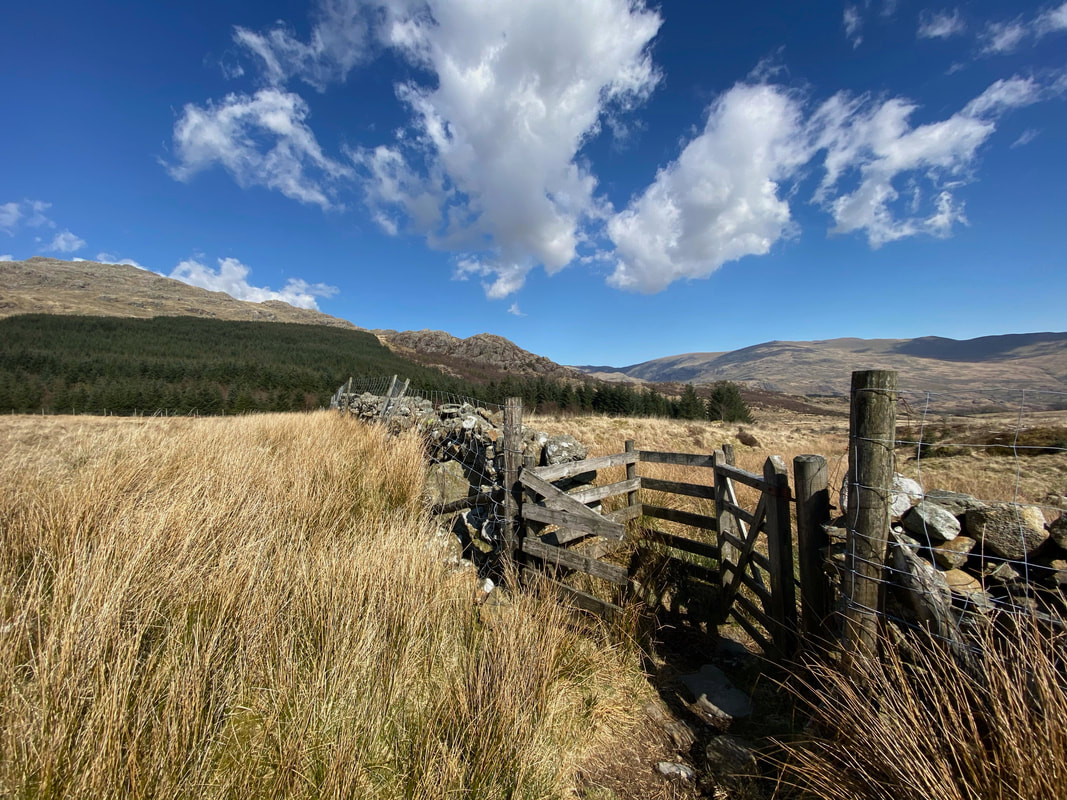
At the end of the Green Crag path a gate gives access to the plantation - through the gate, turn left & follow the wall to cross Grassguards Gill.
Once the transit through the plantation is made a fence is reached heading uphill - this is the route to the summit of Harter Fell.
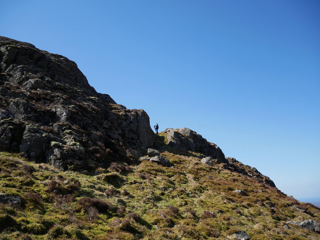
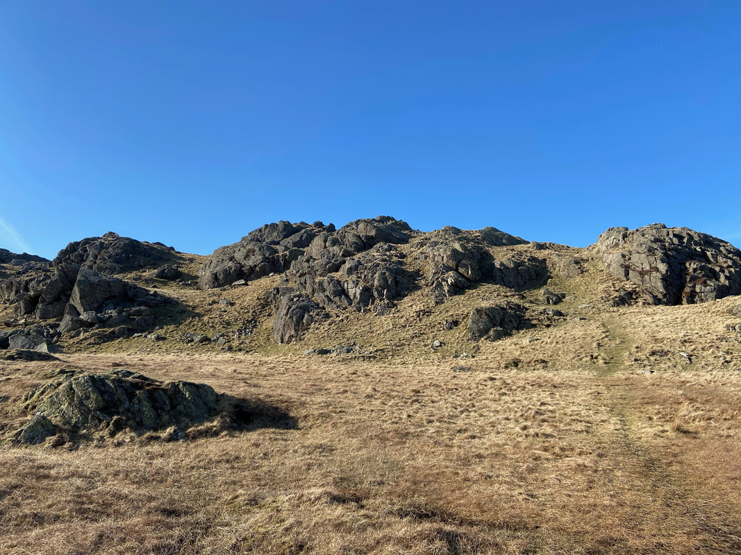
Heading to Harter Fell negotiating various rocky outcrops. The path is vague in parts therefore ensure you are on top of your nav if the viz is poor.
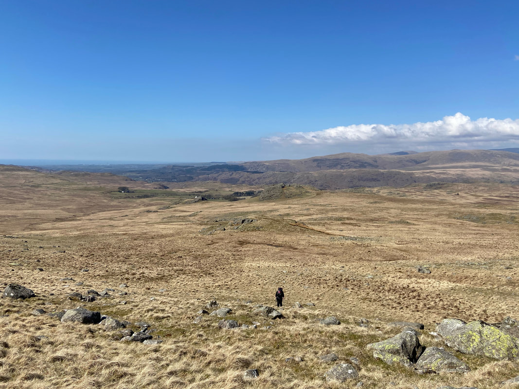
Looking back down our ascent of Harter Fell
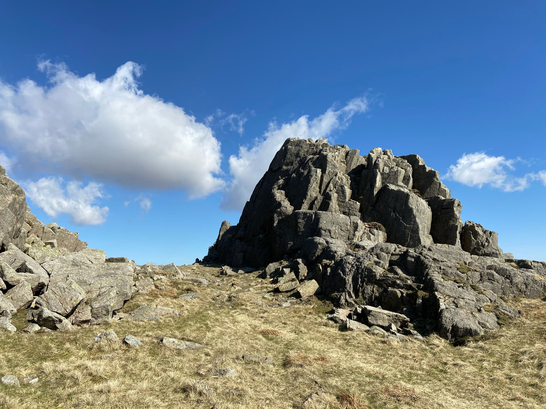
Near the summit a large rock tower is reached
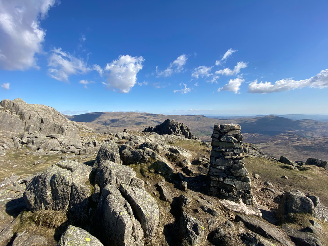
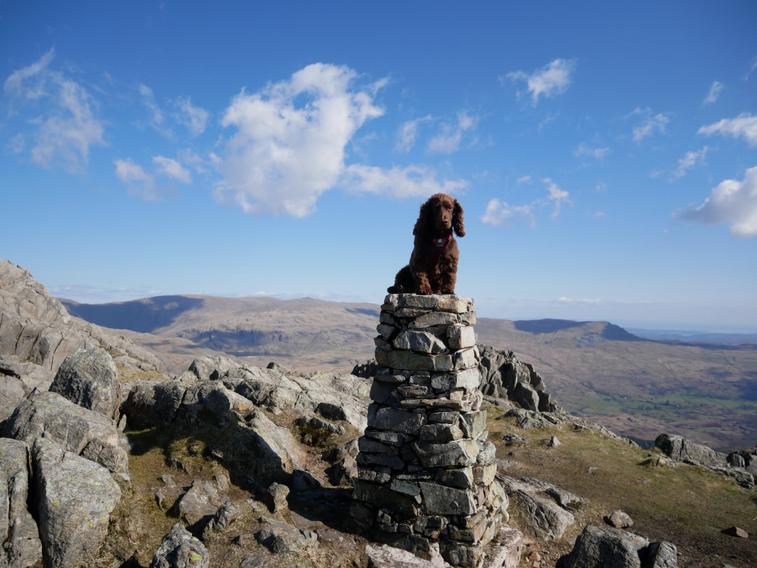
The Trig Point near the summit with the rock tower behind it. The actual summit of Harter Fell is the rocky outcrop to the left.
As is tradition
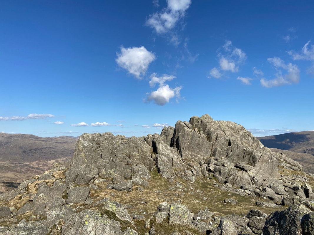
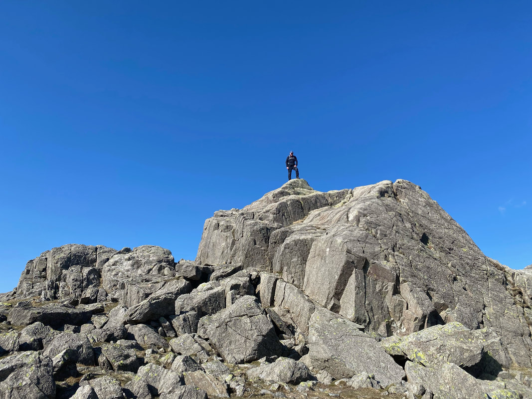
The summit of Harter Fell
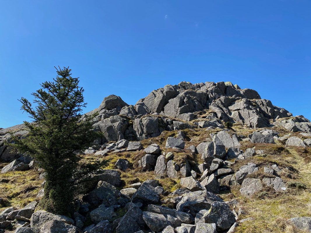
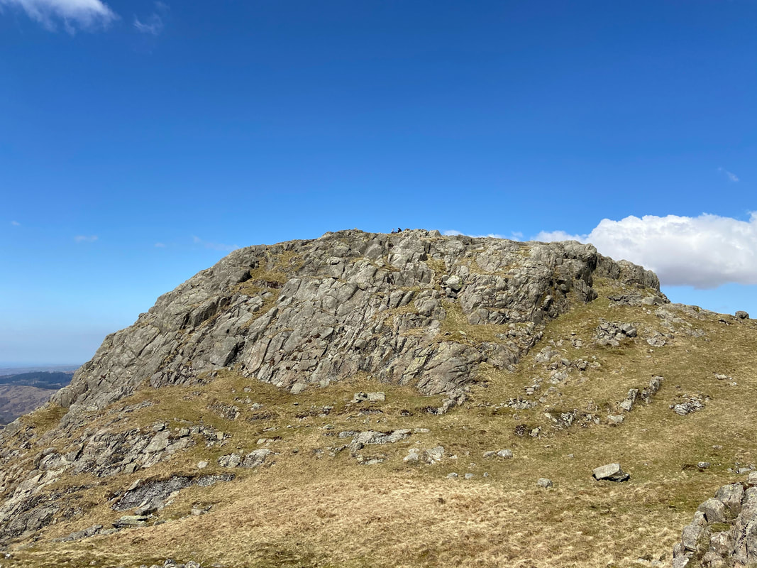
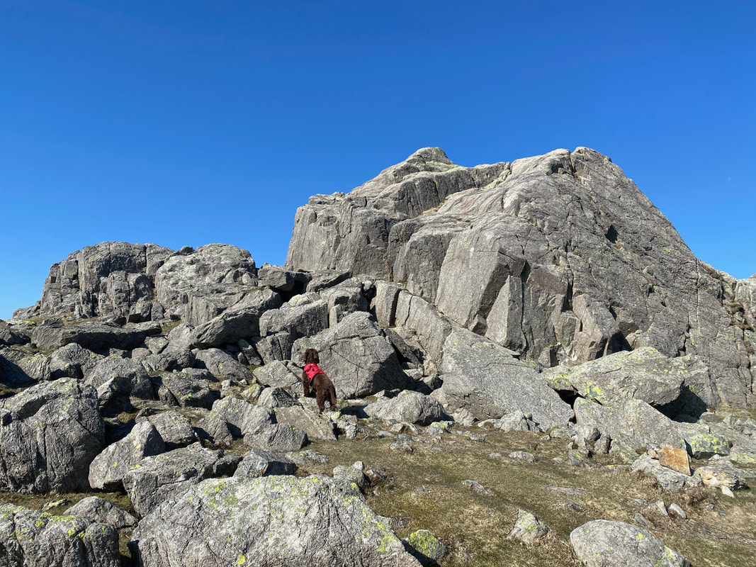
From below the summit looks impregnable however there is access on its eastern side enabling a safe clamber to the top
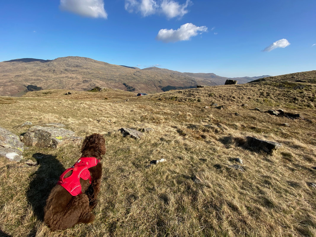
Fudge clearly thinks I have fallen off the top and is afraid I have gone missing in action - more importantly for him, with his Dinner
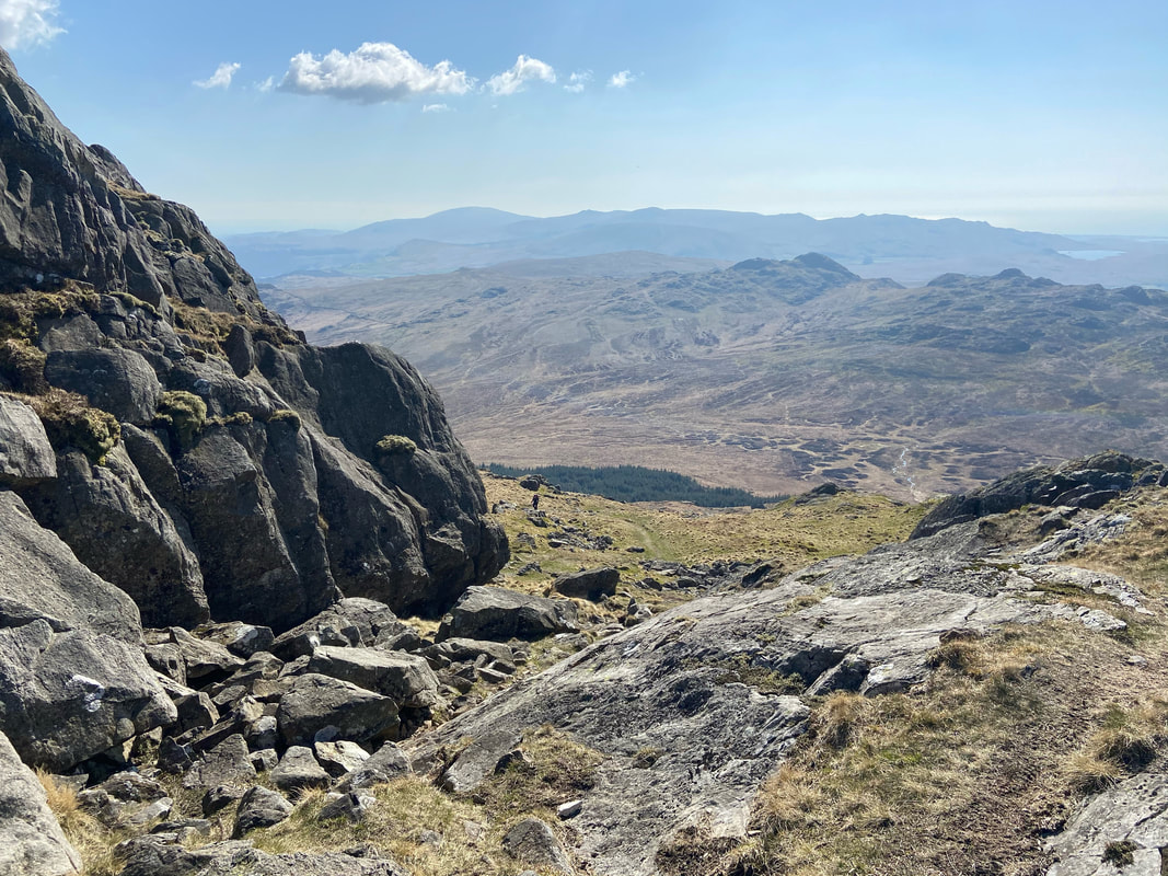
From Harter Fell we were now off to Demming Crag which can be seen in the centre of shot - vague paths once again therefore trust your nav. This view is a classic and one of the best in Lakeland.
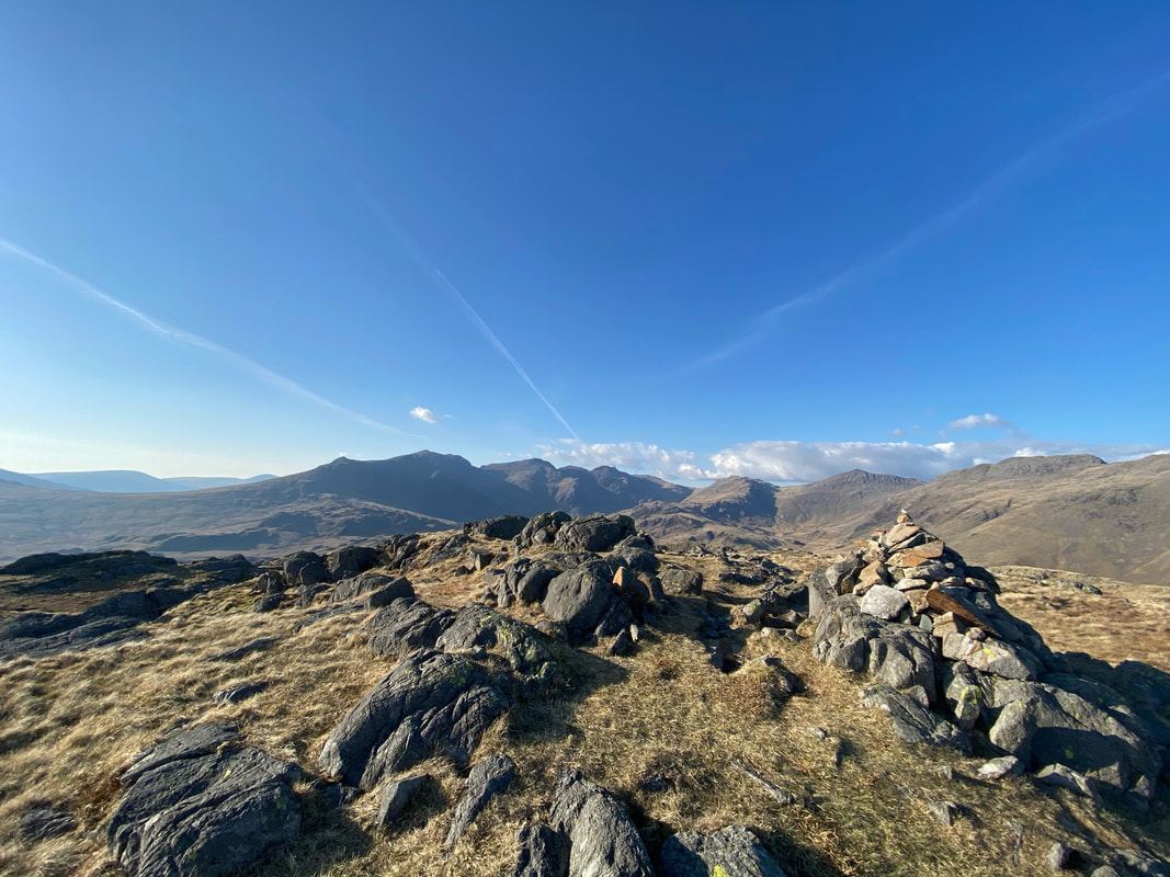
The summit of Demming Crag with Scafell & Scafell Pike centre
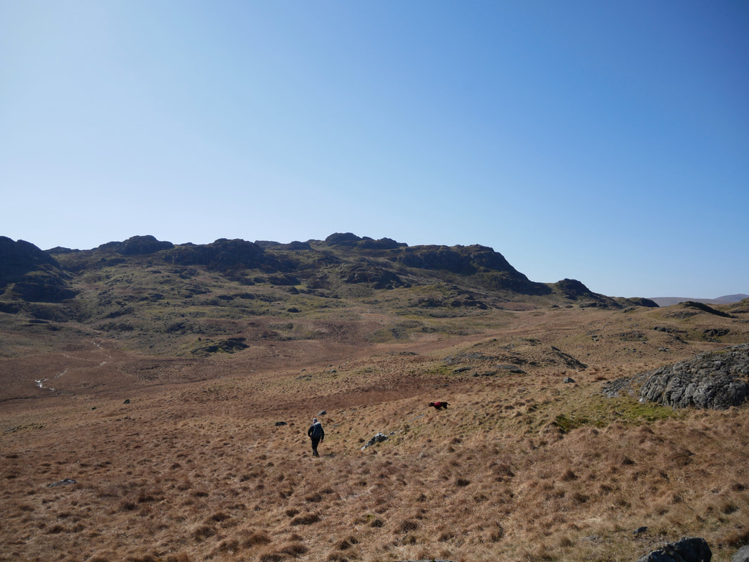
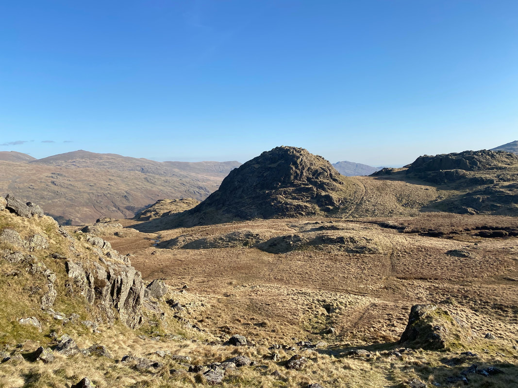
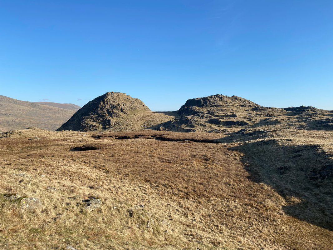
From Demming Crag it was once again time to wander over good but pathless ground towards our next summit of Horsehow Crags seen below in the centre of shot with Hard Knott beyond.
The summit of Horsehow Crags
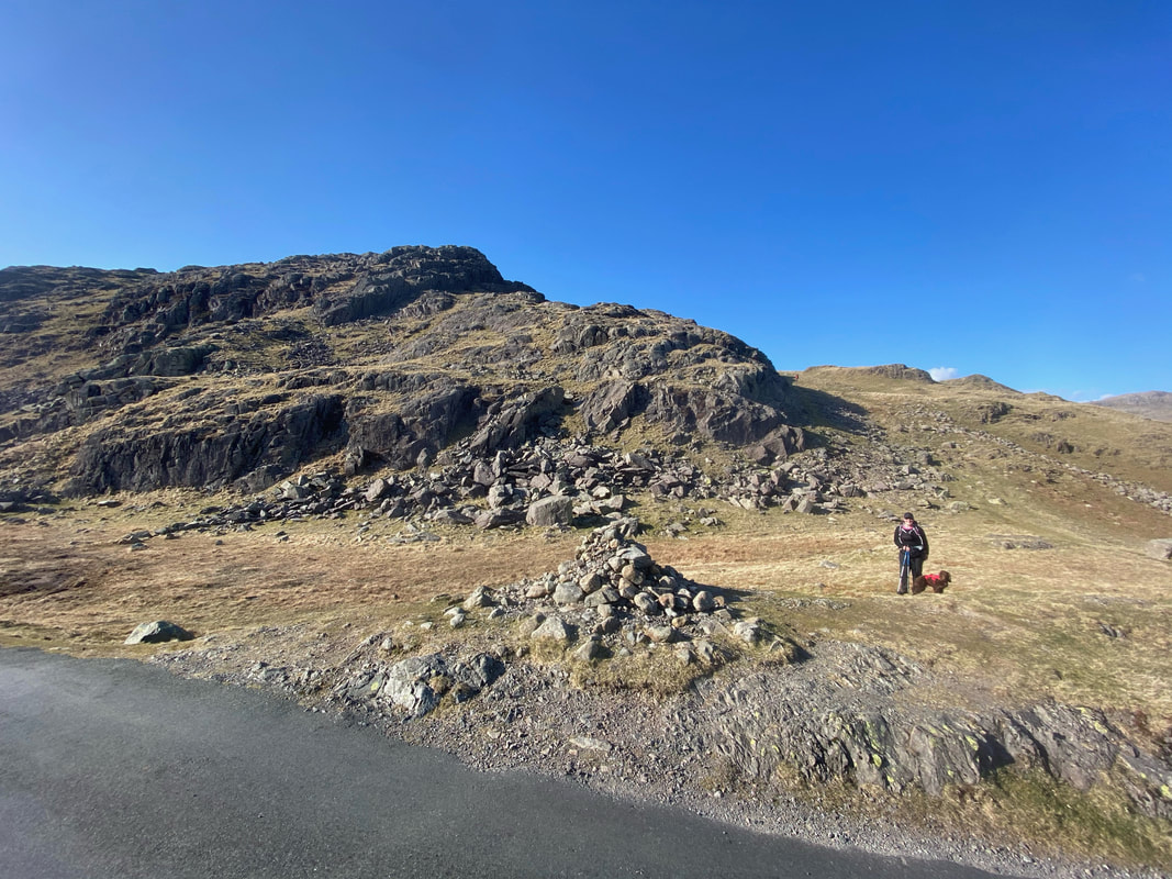
The cairn at the top of the Hardknott Pass with Raven Crag behind. The ascent of Hard Knott begins here and heads gently uphill to the right of Raven Crag.
"I've had a great day today but I am absolutely bloody starving hungry"
Approaching the summit of Hard Knott
Looking back to Border End from the approach to Hard Knott
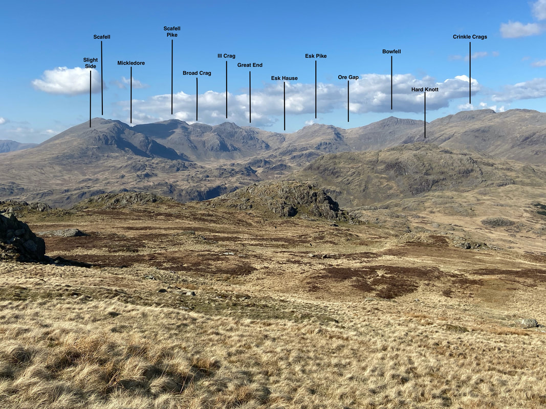
The summit of Hard Knott with a fantastic view over to the Scafells. L to R are Slight Side, Scafell, Scafell Pike, Broad Crag, Ill Crag, Esk Pike, Bowfell & Crinkle Crags
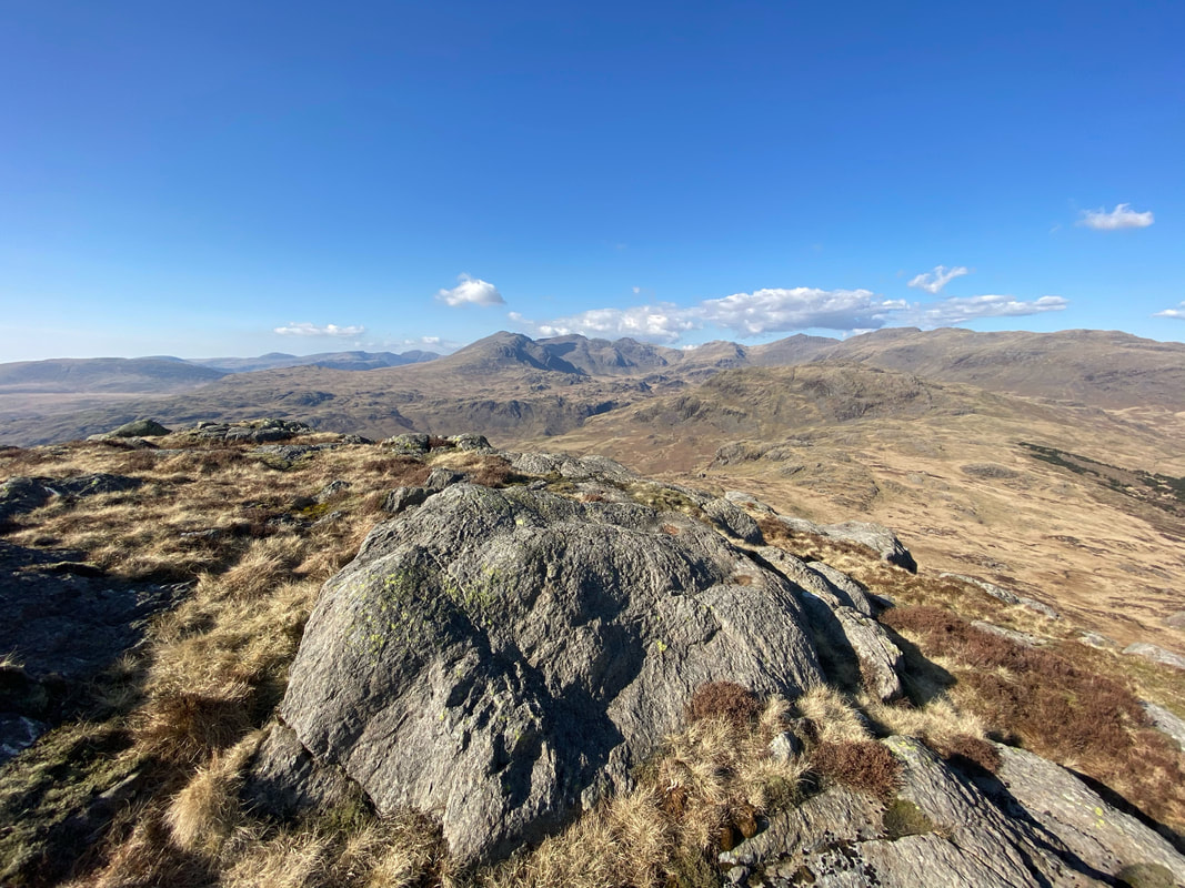
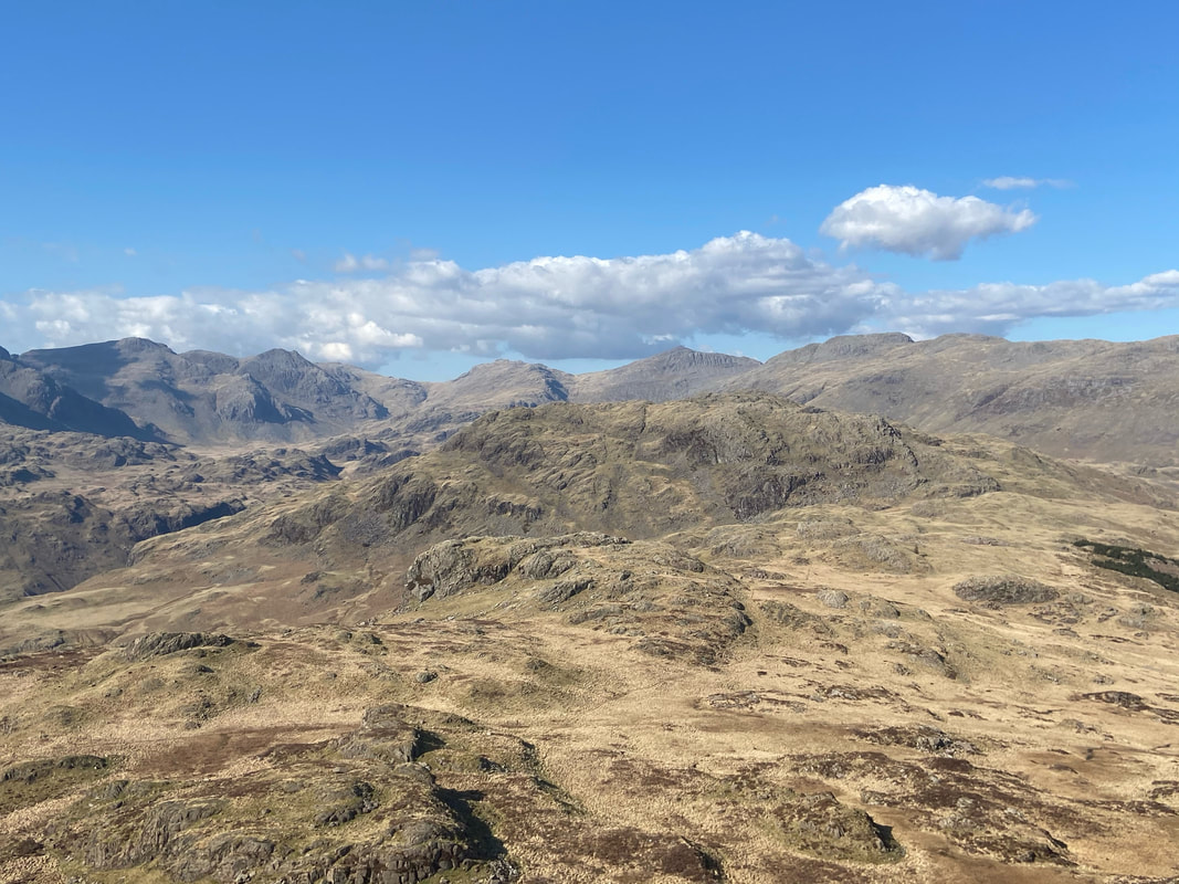
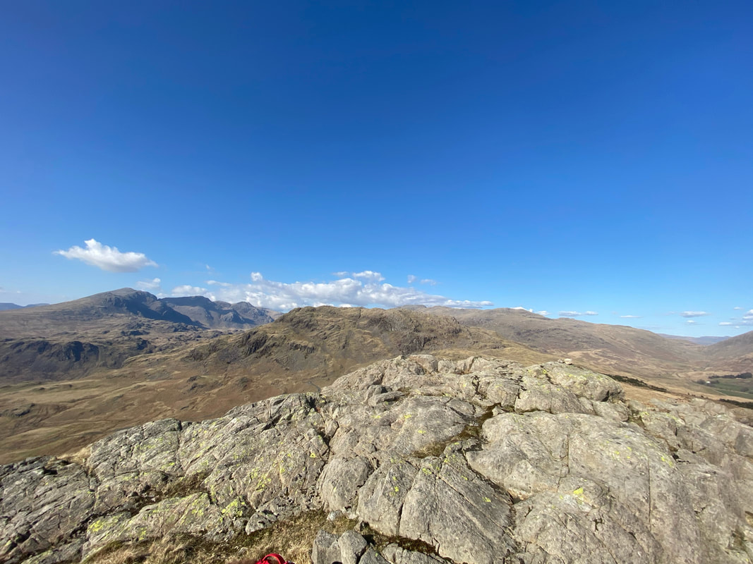
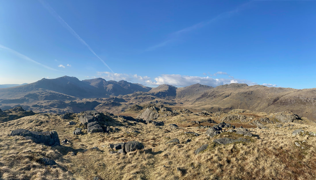
A wider panoramic view from the summit of Hard Knott
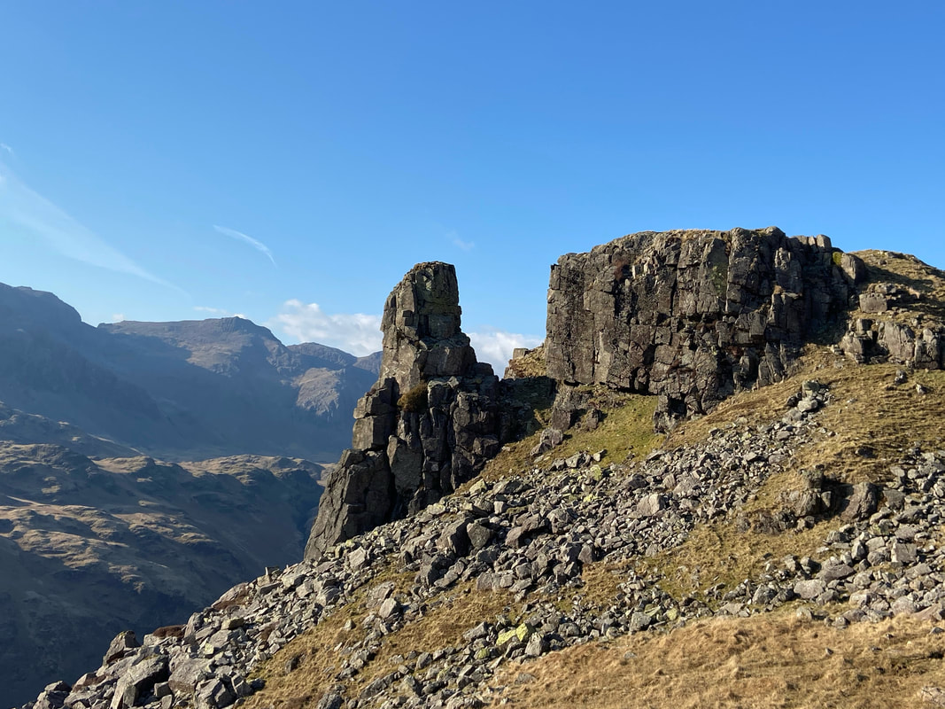
From the summit of Hard Knott Angie headed over to Border End where I would meet her & Fudge later. In the meantime I headed down to view The Eskdale Needle. The rock pinnacle is also known as The Steeple and is approximately 50ft in height on its longest side and is well worth a visit. The Needle can be found at Grid Ref NY22819 02400.
Border End
The summit of Border End
Instead of returning directly via the way we came, we dropped down back to the Hardknott Pass via the lower slopes of Raven Crag
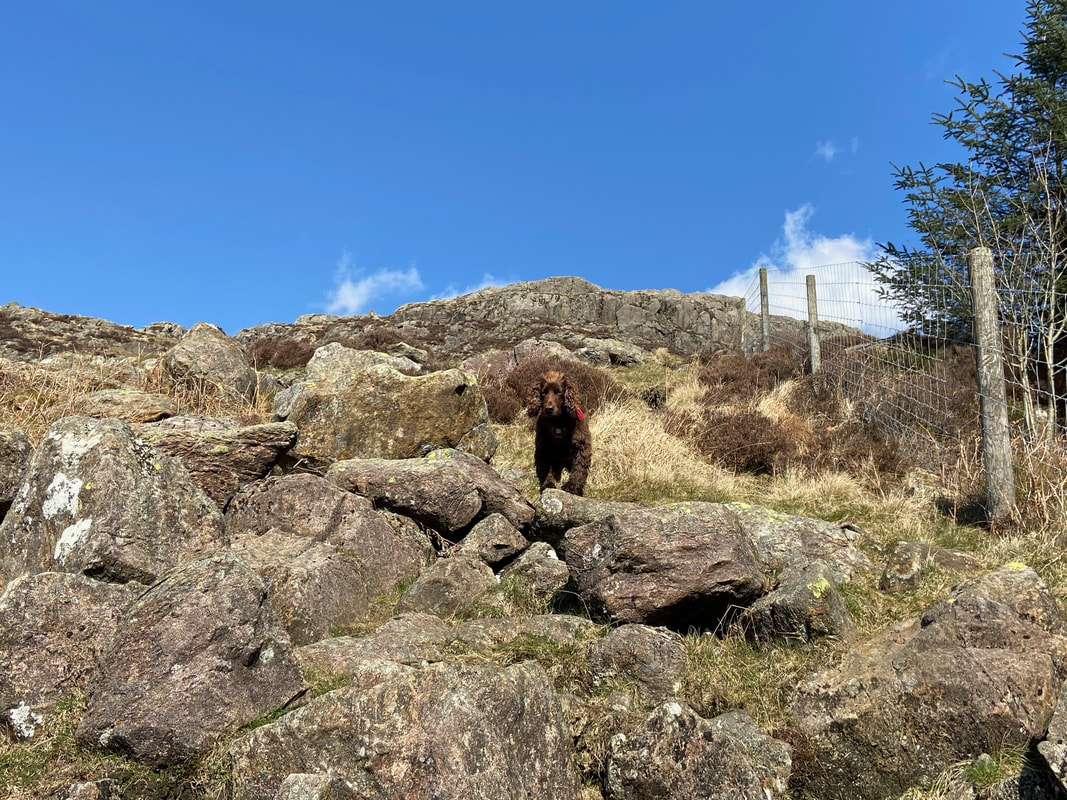
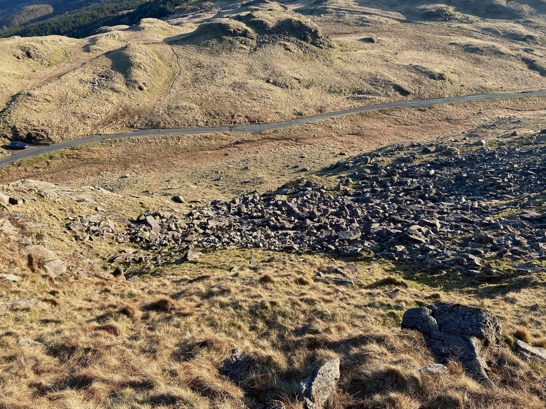
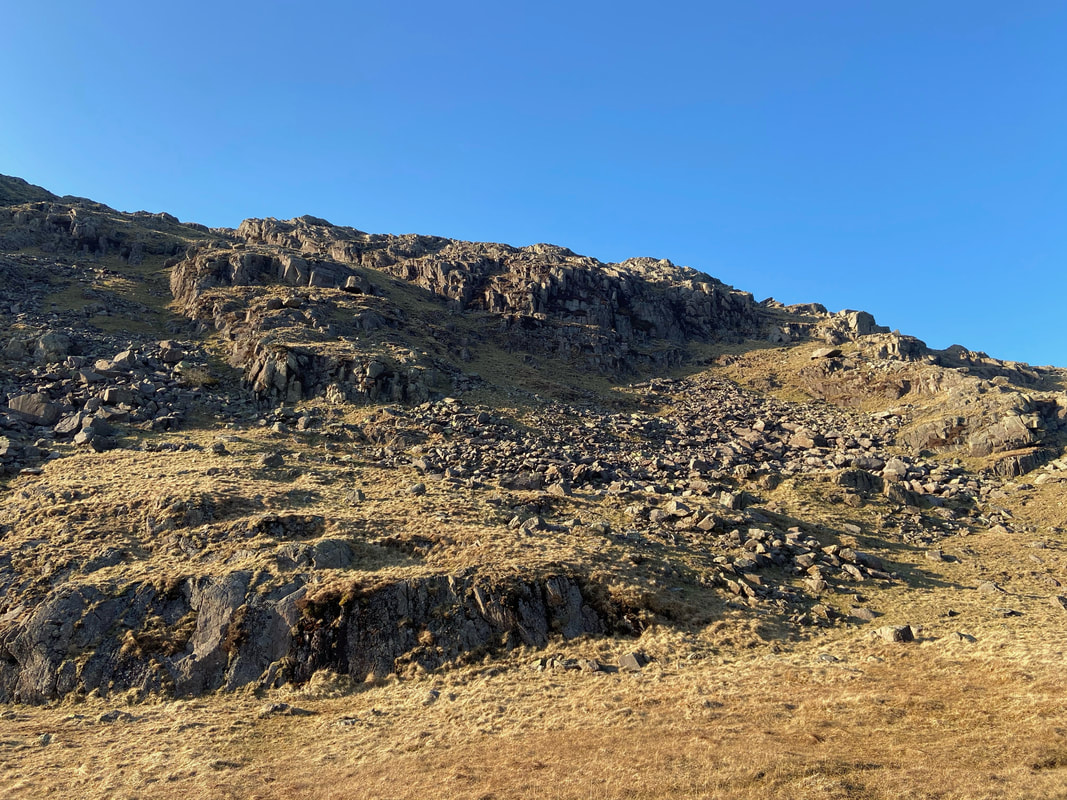
Our descent via the lower slopes of Raven Crag - we came down from the top left of the pic and around the side of the loose stone on the right.
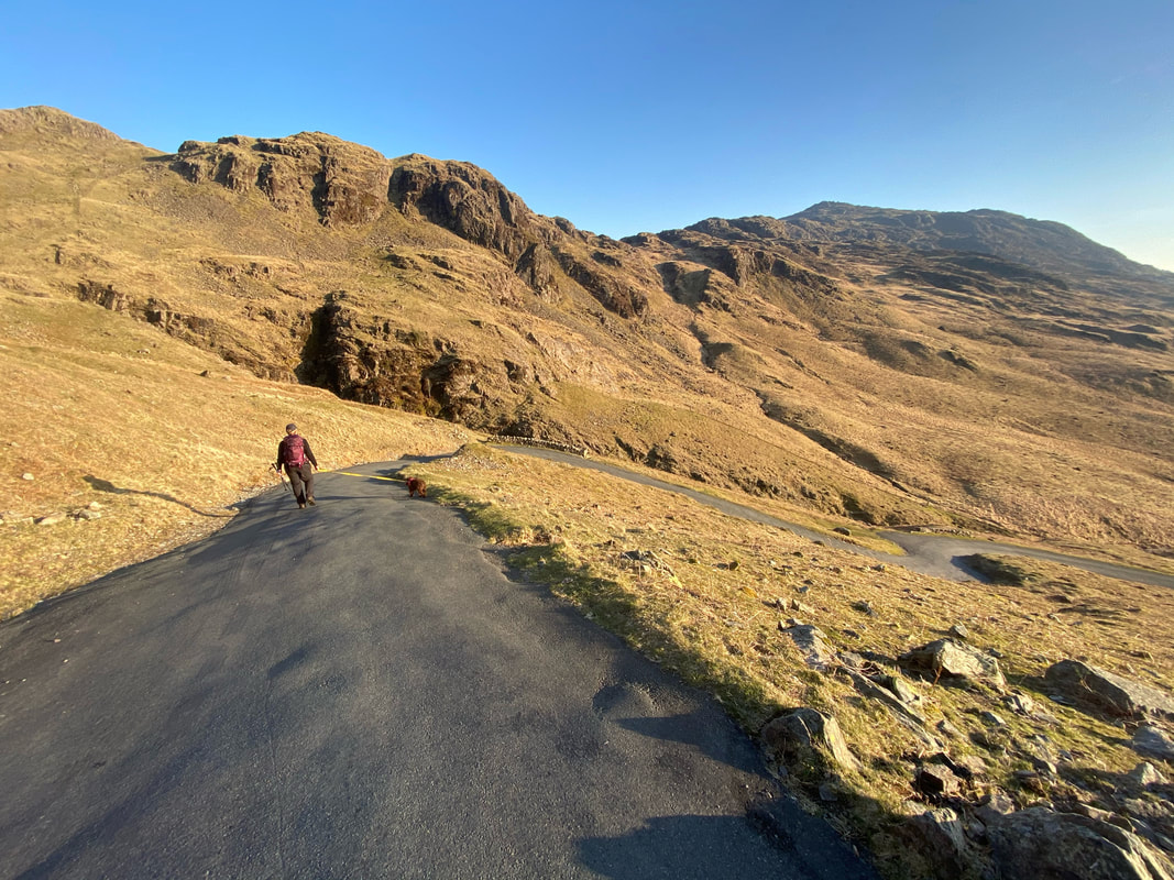
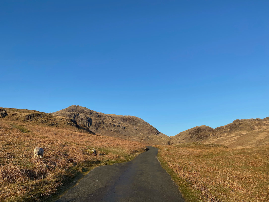
Heading down the extremely steep Hardknott Pass - by this time it was about 1900 therefore no traffic about
Looking back up the Hardknott Pass to Border End & Raven Crag on the left with Peathill Crag on the right
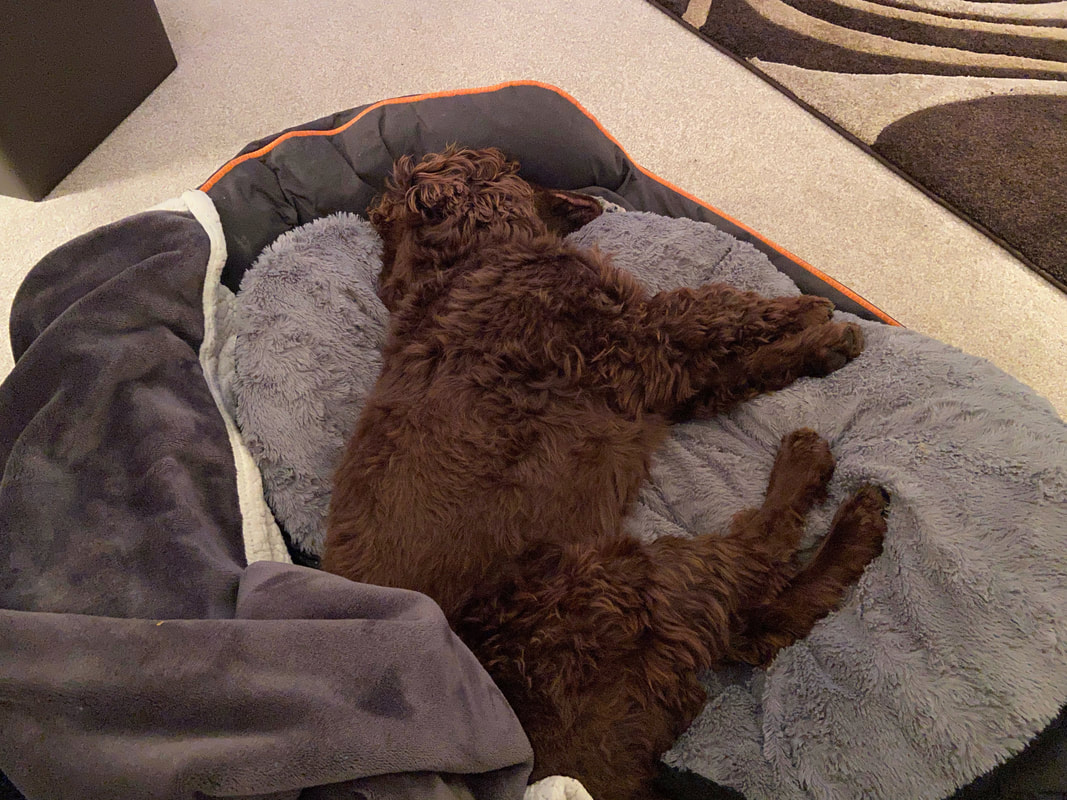
Back at home - knackered but totally content
